Ambleside – Nook Lane – Low Sweden Bridge – Low Pike – High Pike – Dove Crag – Hart Crag – Fairfield – Great Rigg – Rydal Fell – Heron Pike – Nab Scar – Rydal Hall – Rydal Park – Ambleside
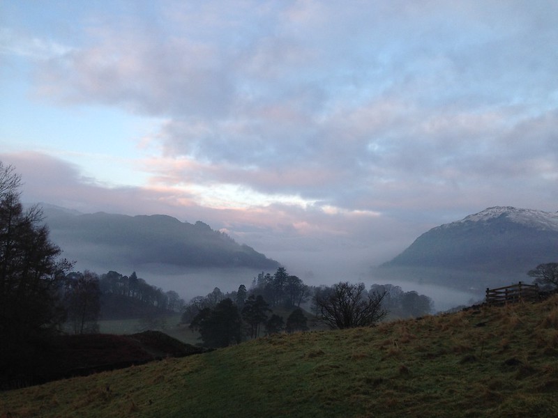
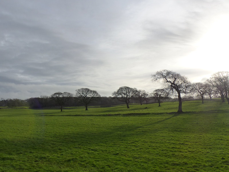
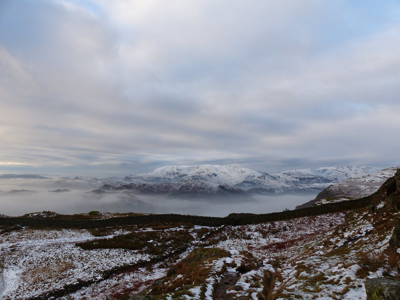
Mist over Ambleside.
A friend from the village has decided to join B in playing rugby for Kirkby, which means I now have someone to share lifts with. Presented with a first opportunity to miss a game and have a day off, I dithered; B has been playing for several years and I’ve missed very few games. I enjoy the matches and recently the team has hit a rich vein of form. On the other hand, the forecast wasn’t too bad and the hills beckoned. I was torn, but you can see which outcome eventually won.
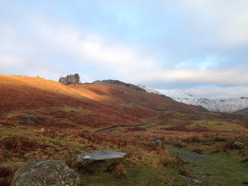
Heading towards the ridge, Sweden Crags, Low Brock Crags and High Brock Crags on the skyline before the snow. High Pike behind.
I was out early, partly because one of the forecasts I looked at suggested clear skies around dawn and also because I discovered that certain Lake District carparks cost just a pound for the day, if you arrive before nine in the morning, including the Lake Road carpark in Ambleside.
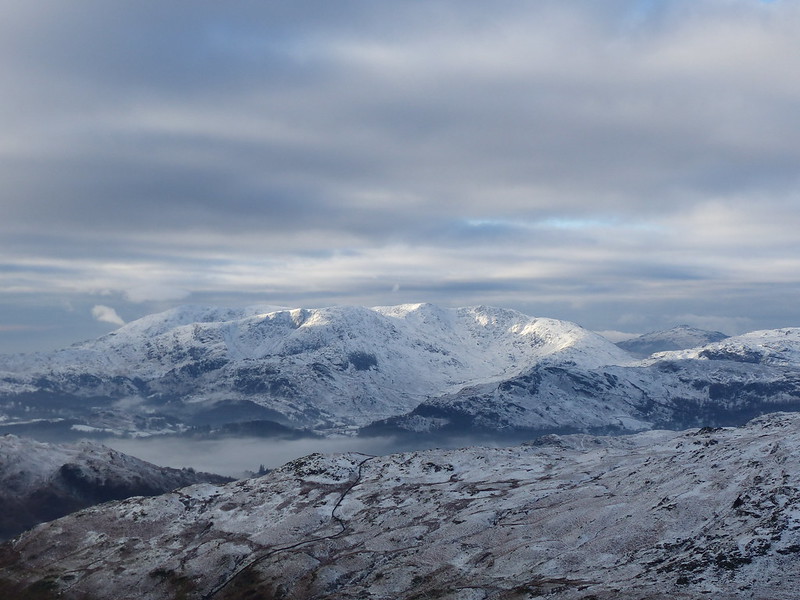
Looking south over Windermere.
The Fairfield Horseshoe must be one of the best known and most popular walks in the Lakes. Even early on a cold, wintery day, with a mixed forecast, there were a few people about.
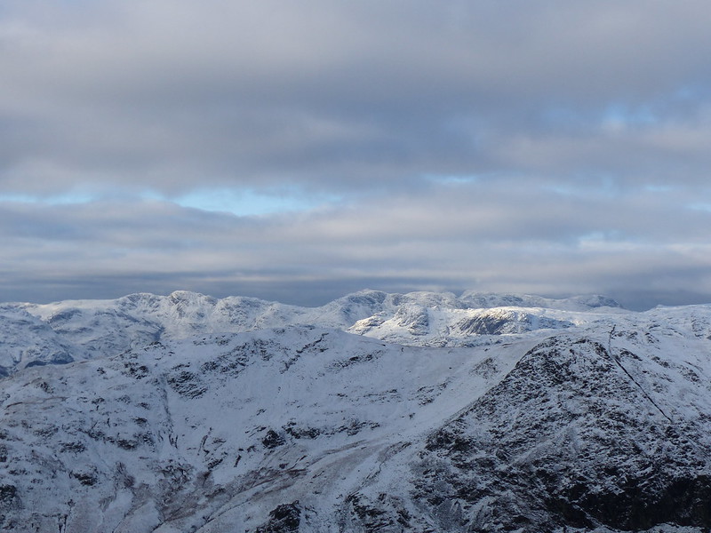
The Coniston Fells.
In actual fact the weather was much better than any of the forecasts had suggested. The weather did eventually deteriorate, but not before some marvellous views over a mist covered Windermere and then a spell of glorious sunshine. Even when the weather worsened, the clouds veiling and unveiling the hills and the light shining through gaps in those clouds and spotlighting parts of the scene were dramatic.
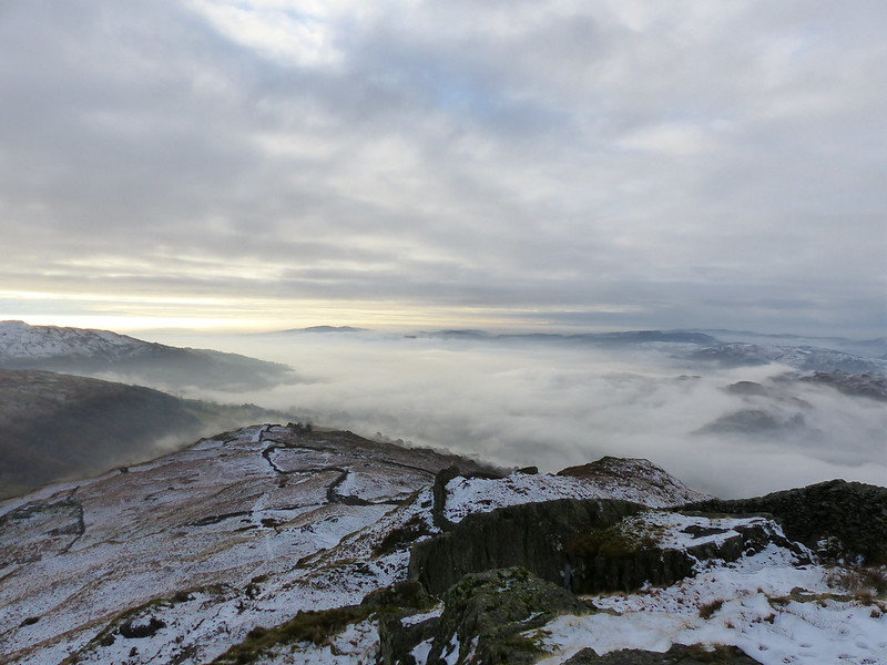
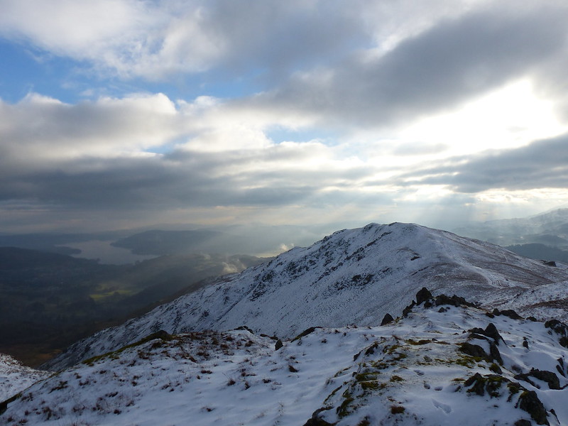
From Low Pike. Another view over Windermere.
On Low Pike I stopped for a while to take in the view and catch up on some breakfast: tea from a flask and some leftover low-carb Spanish Omelette. (Cauliflower replacing the potato: works a treat. Curiously, radishes are not bad either)
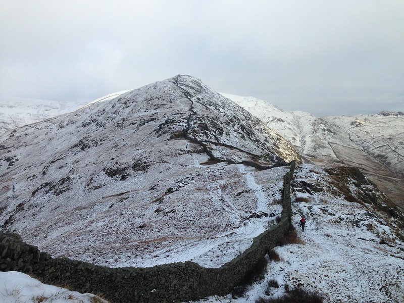
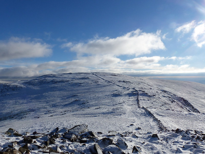
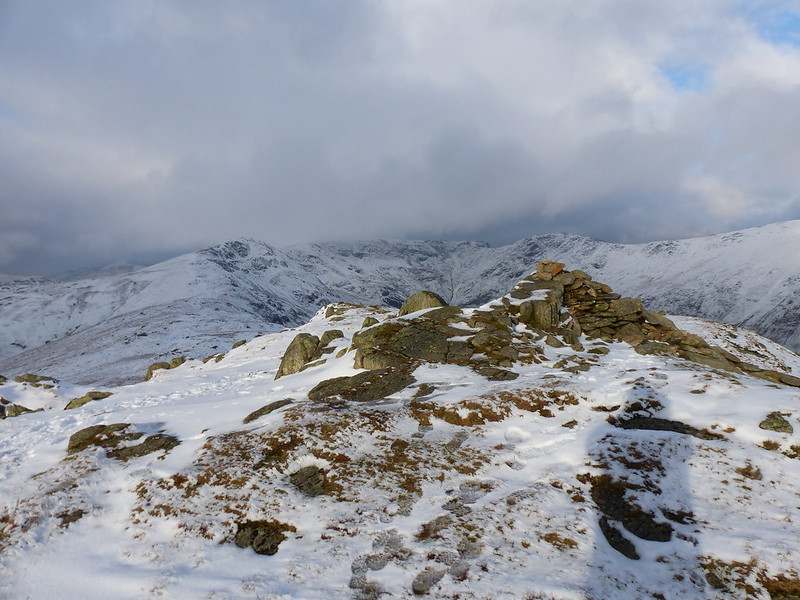
High Pike from Low Pike.
Heron Pike, Rydal Fell and Erne Crag catching the sun. I would be on the ridge later, but without much sunshine.

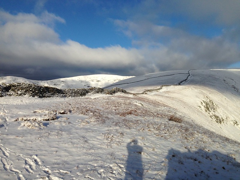
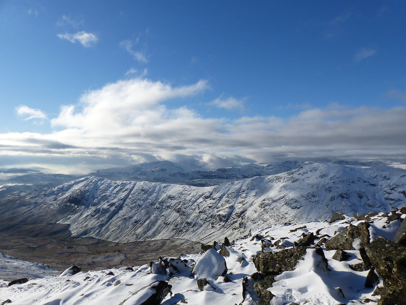
Low Pike, Scandale and Scandale Beck from the High Pike ridge.
Heron Pike and Rydal Fell again. Scafells and Langdale Pikes beyond.
Coniston Fells. A great view of the horseshoe I walked quite recently.
The long steady pull to Dove Crag from High Pike. Fairfield behind.
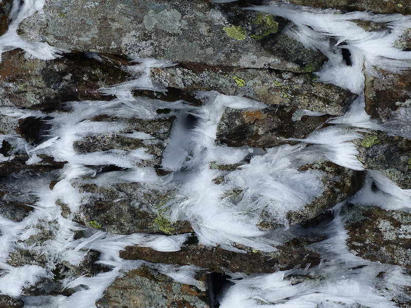
I want to call this snow/ice on the wall rime, but I’m not sure that that’s the correct term. There seems to be a paucity of terms to describe snow and ice features in English, so that we often have to use terms from other languages – névé from French or sastrugi from Russian for example.
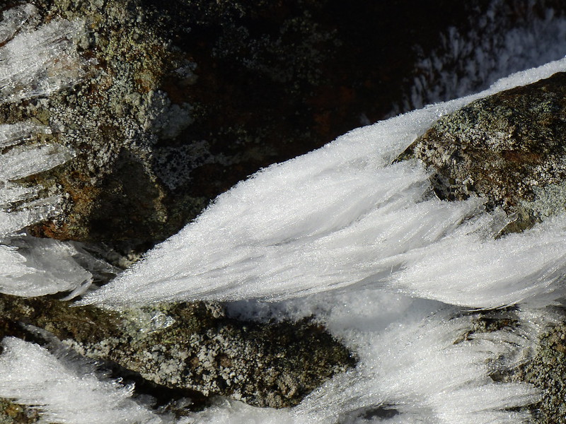
I suspect that these beards of snow are the result of snow being forced through the wall by strong winds and building up these shapes on the lee side.
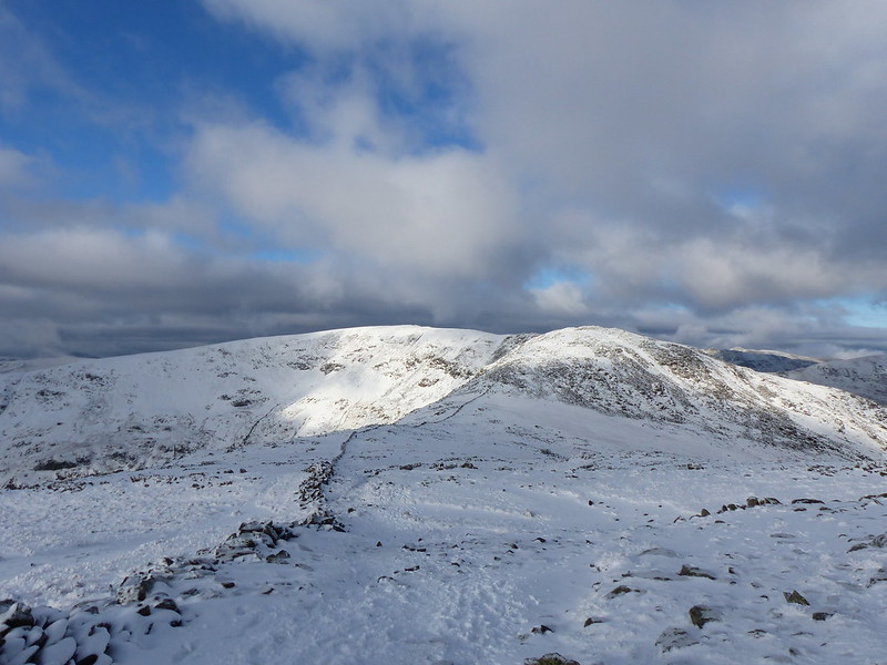
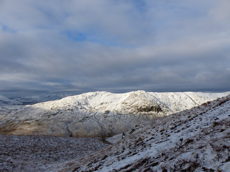
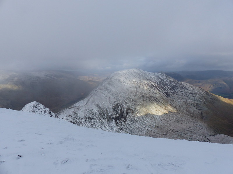
Fairfield and Hart Crag.
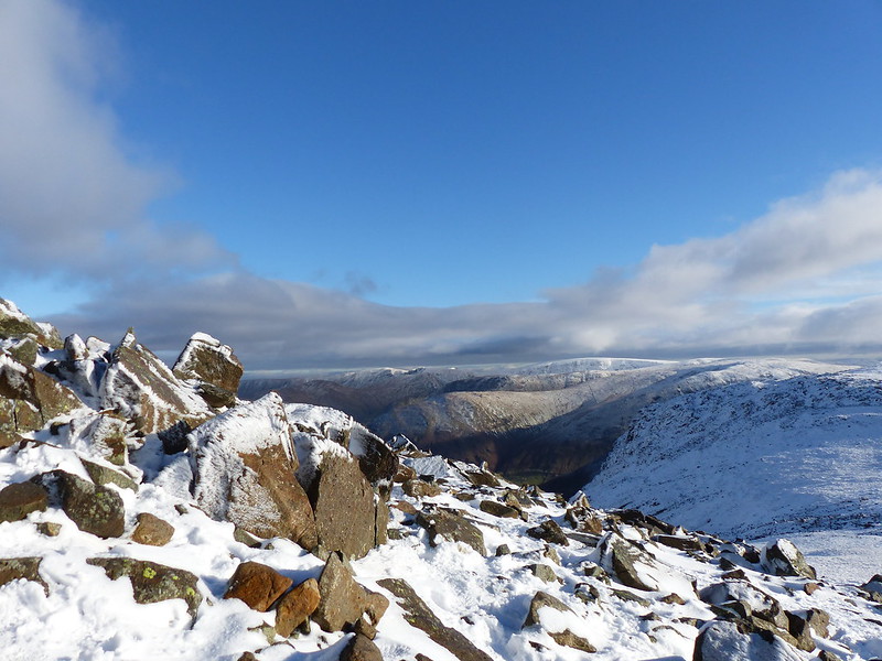
The Eastern Fells.
With the sun really shining now, I stopped for more tea. Out of the wind, it felt quite warm and I enjoyed sitting in the sun and listening to the drip of the snow melting.
Looking back to Dove Crag.
Great Rigg and Rydal Fell.

St. Sunday Crag.
Scrubby Crag.
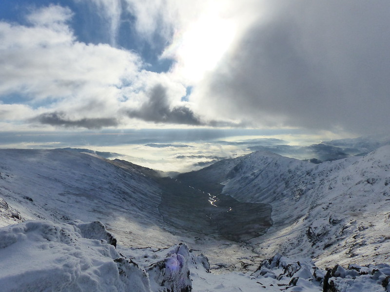
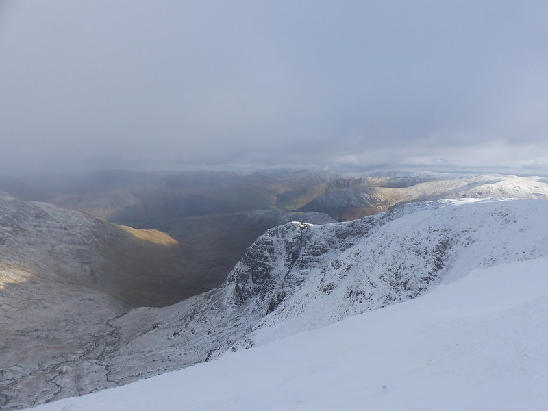
The horseshoe and Rydal Beck.

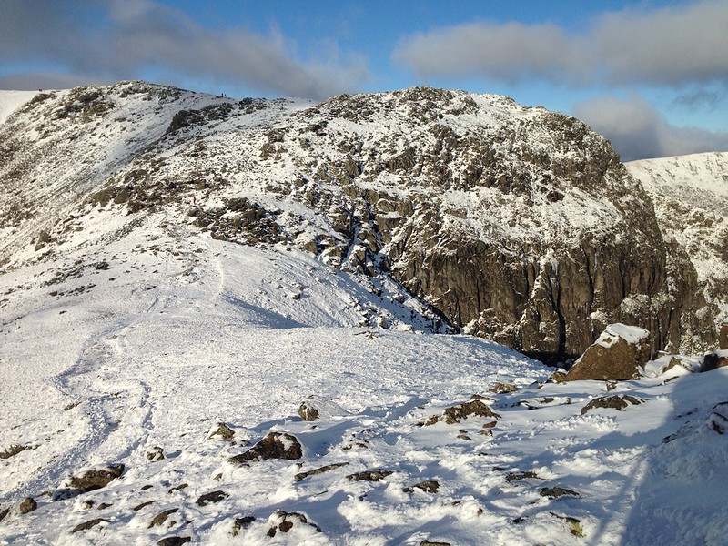
Hart Crag.
Cofa Pike and St. Sunday Crag.
Hutaple Crag, I think.
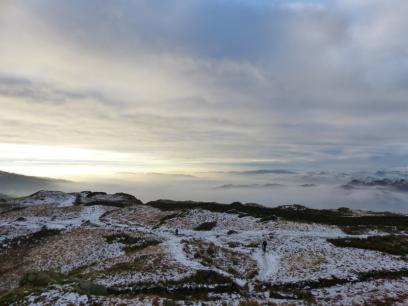
The cloud, as you can see, was coming in quickly, which it had been threatening to do for a while. There was briefly a view of all of the fantastic ridges on the Helvellyn massif. I would have taken a photograph or two, but just at that moment I met an old friend who was walking the horseshoe clockwise with a small group and we stopped to catch up whilst the mist descended around us.
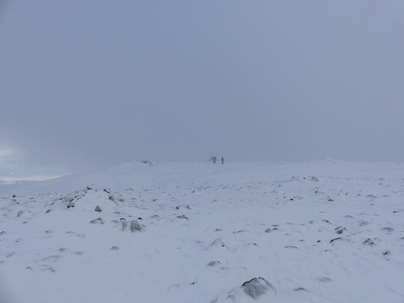
Fairfield summit.
I was over Great Rigg in thick mist with no views at all, but then dropped below the cloud as the ridge descended. Somewhere hereabouts I found another sheltered spot where I could hunker down and eat my lunch: cabbage and chorizo soup from another flask, the warmth of which was most welcome.
Rydal Fell and Heron Pike.
The cloud was swirling across the ridge, alternately hiding and revealing the view. The photograph above came after numerous frustrated attempts when the clouds made the ridge ahead vanish at precisely the wrong moment.
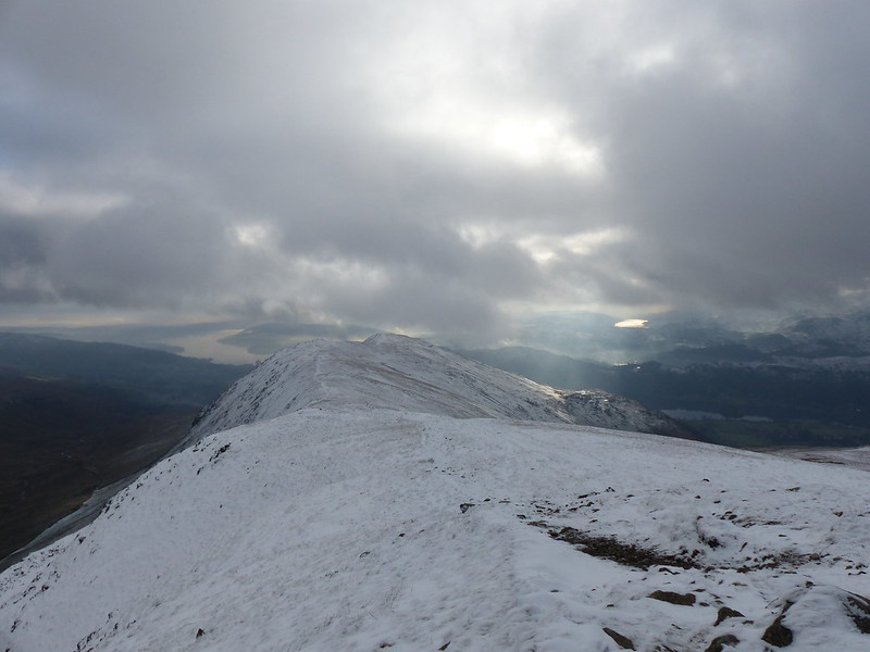
Fairfield from Rydal Fell.
I took a photo from almost the same spot only last summer. Although I haven’t walked the entire round for many years, I’ve often visited some of the individual tops in the meantime. Unusually, I know exactly when I did last walk the whole horseshoe, because it was the second hill-walk which TBH and I did together. (The first was the Langdale Pikes via Jack’s Rake on Pavey Ark.) Which dates it as early in the summer of 2000.
Heron Pike and Windermere (now mist free) from Rydal Fell.
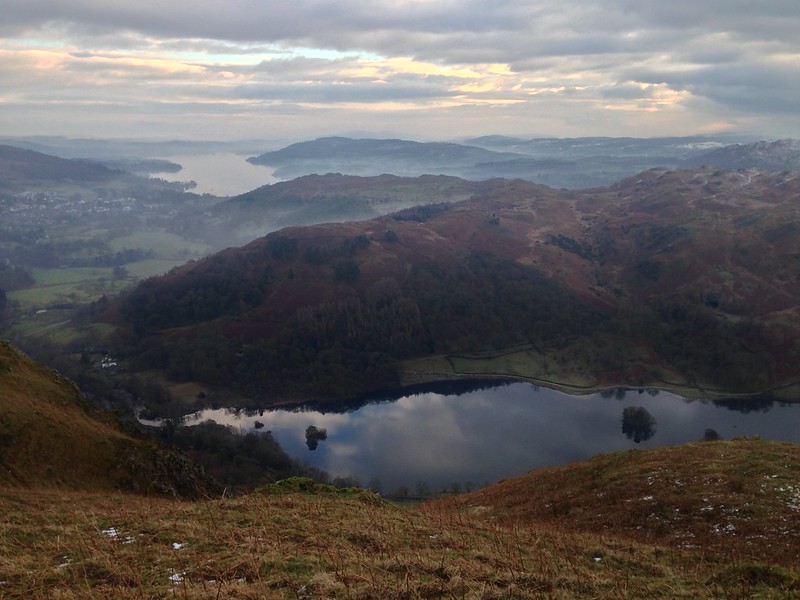
Rydal Water, part of Loughrigg and Windermere from Nab Scar.
On the lower slopes the snow had turned to slush and for a while the going was tediously slippery.
By the time I met my friend again, on the track through Rydal Park, it was beginning to rain a little and it was almost dark. It had been a long day, but very satisfying. Bill Birkett gives 10.25 miles and 1045m of ascent for this route. Mapmywalk gave 14 miles, but only 957m. I don’t suppose it really matters which is right, although the magnitude of the discrepancy is a bit alarming.
And the rugby? They won. And survived without me, funnily enough. If I could guarantee a day as fine as this one, I might even be tempted to miss another match at some point.