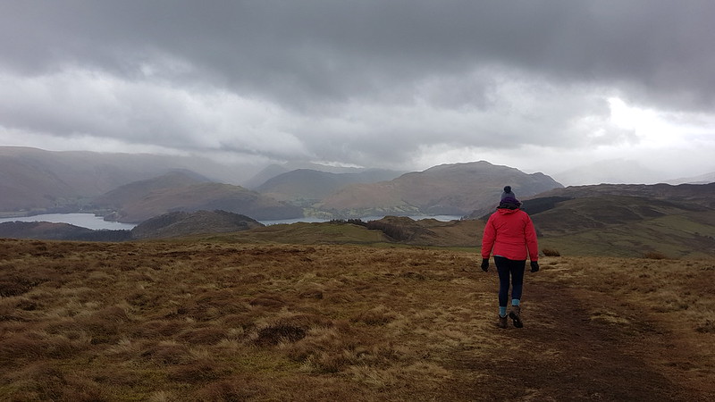
A Wednesday walk in early July; another fabulous Lune Catchment outing. I was able to get out on a Wednesday because it was a strike day. With hindsight, I’m slightly ambivalent about our industrial action: the ‘deal’ we eventually settled for was so poor, putting us even further behind where we were before ‘austerity’, that the personal cost of numerous unpaid strike days seems hardly worth it, but on the other hand, now that it’s over, I’m really missing those occasional days off and the midweek escapes to the hills.
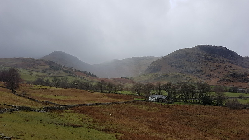
My route could be summarised as a high-level circuit of the headwaters of the River Roeburn. At this remove I can’t remember what inspired me to plan such a long and ambitious route for a day when the forecast wasn’t especially promising.
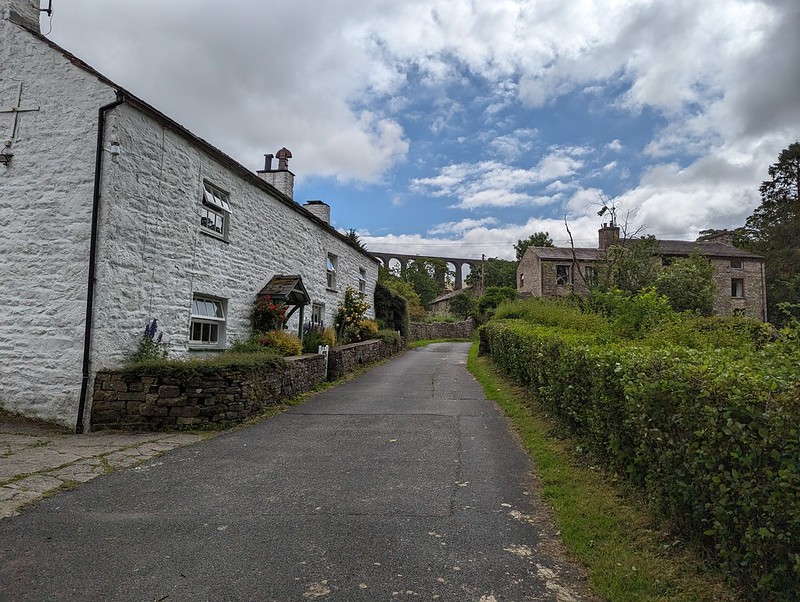
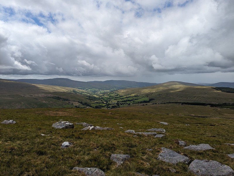
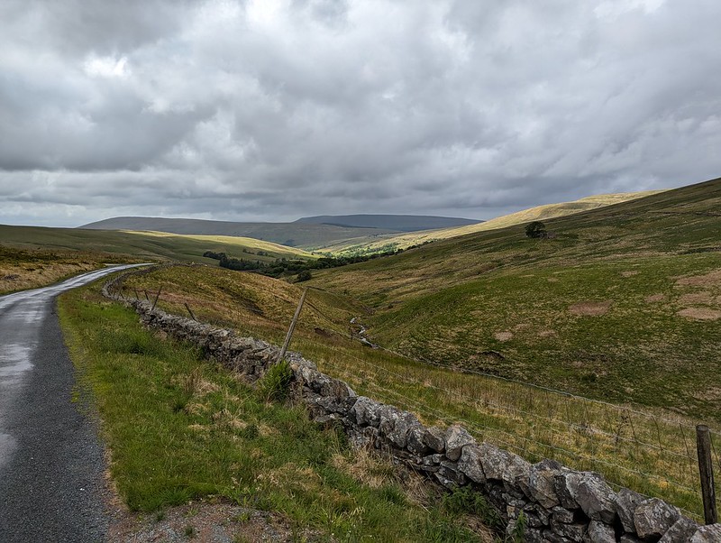
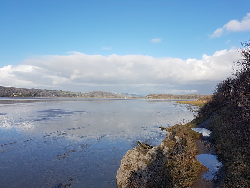
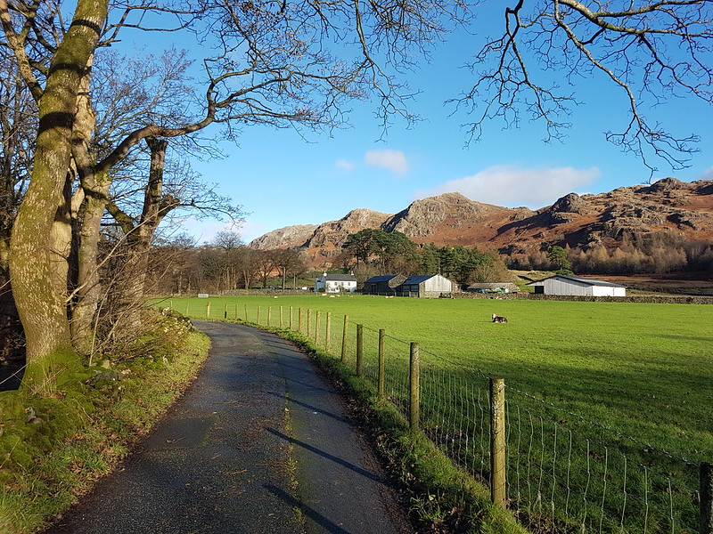
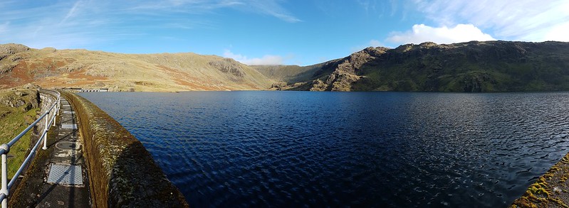
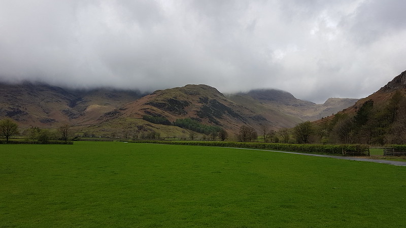
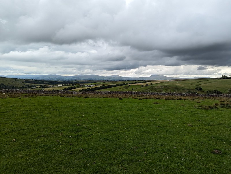
I drove in on the road from Hornby which crosses a shoulder of Caton Moor, giving great views of the head of the dale, before losing lots of height, sadly. Even so, where I parked, by Barkin Bridge, the map shows a spot height of 144m, which, given that the Bowland hills are of modest heights even by paltry British standards, is a conveniently high start.
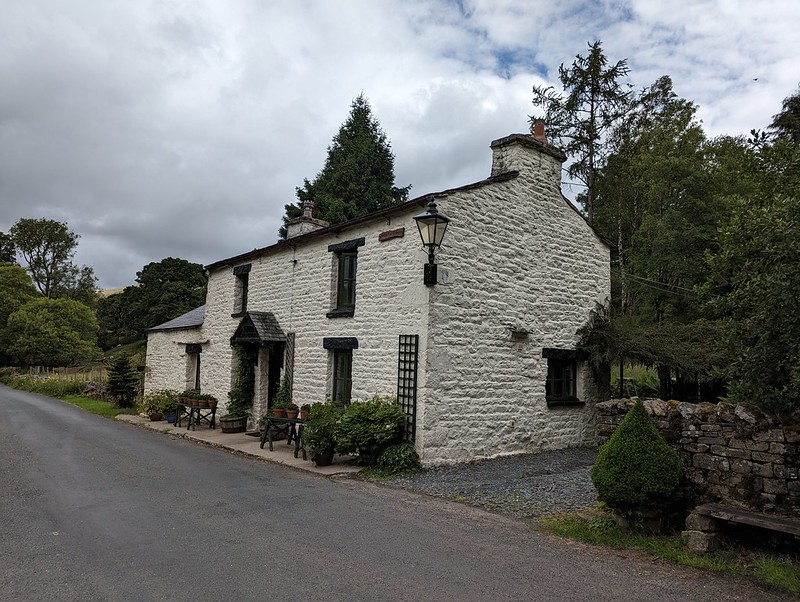
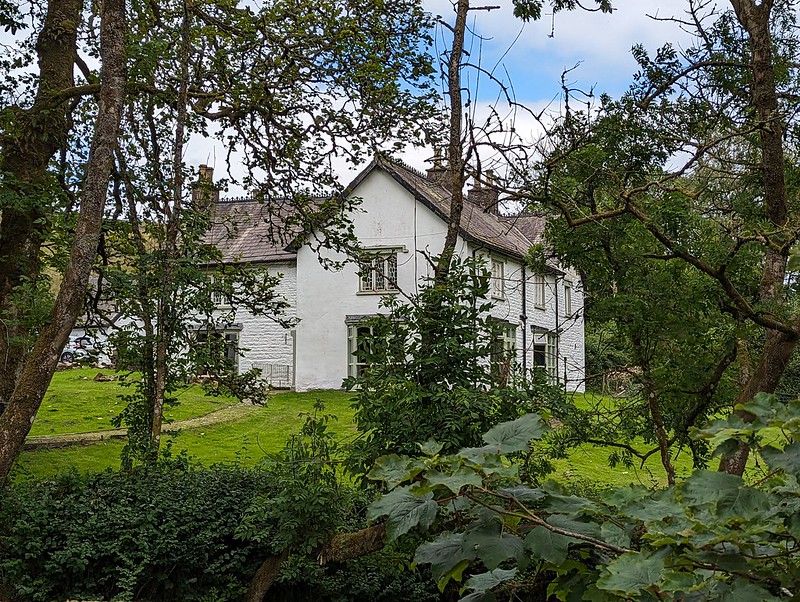
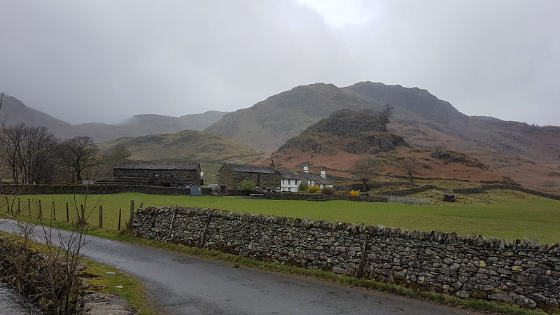
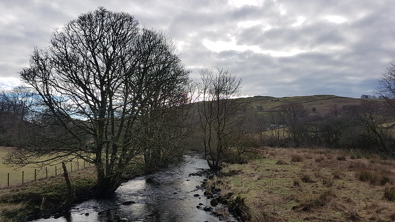
I climbed up the road past Lower Salter, beneath threatening clouds, before dropping back down again to the river on this metalled track…
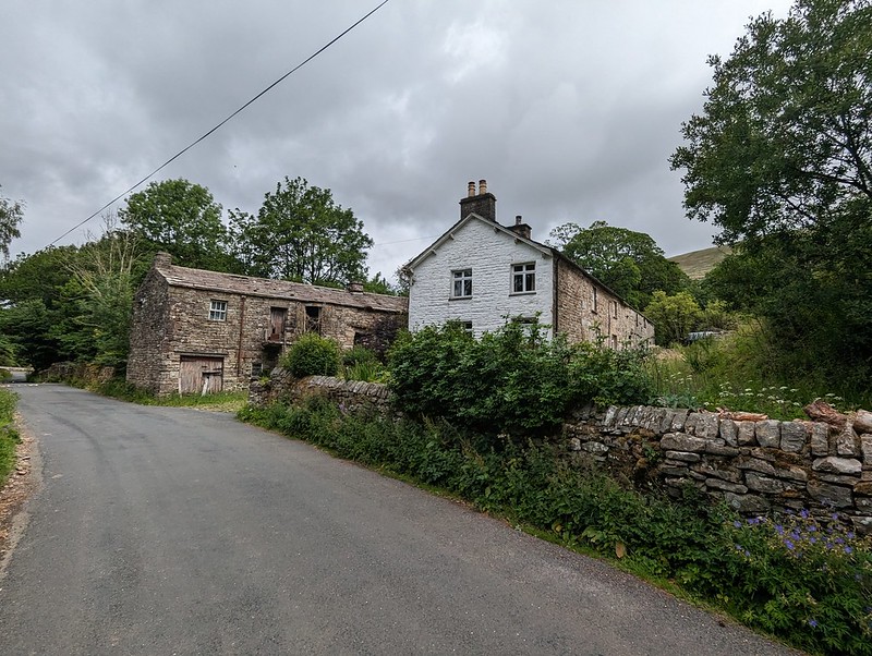
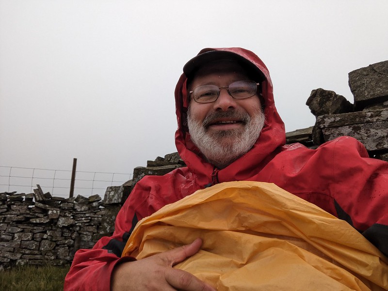
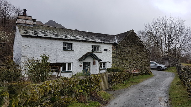
It began to rain and I reluctantly donned my cag, but it soon stopped and I didn’t put it on again until many hours later, right at the end of the walk, as I was returning to my car past the farm and cottages at Middle Salter. At other times, I could see showers passing through, or at least it looked like it was probably raining nearby, but none of them caught me.

A little judicious trespassing here, across a couple of fields and on to Haylot Fell, would have saved me a lot of time and effort. Had I known what was to come, I might have gone for it.
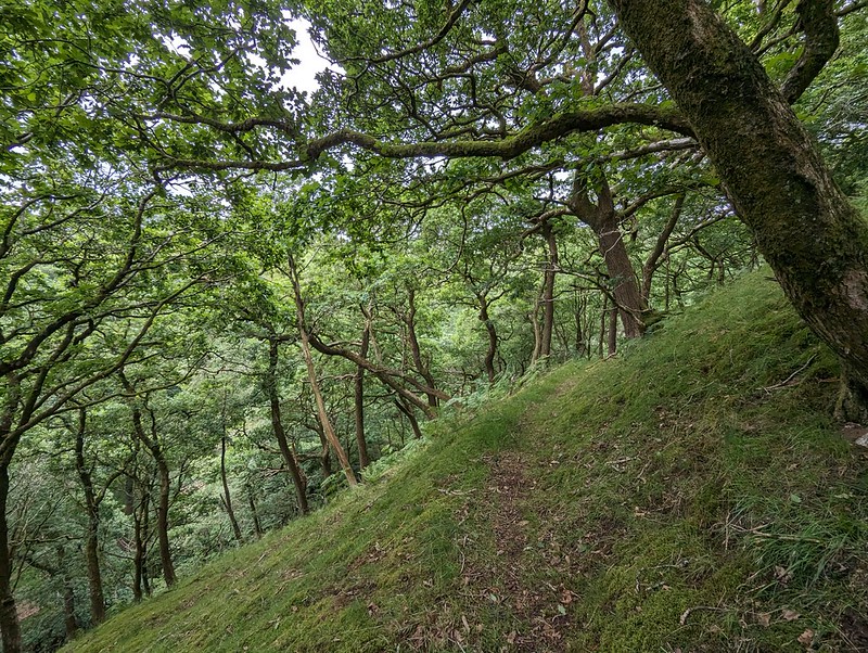
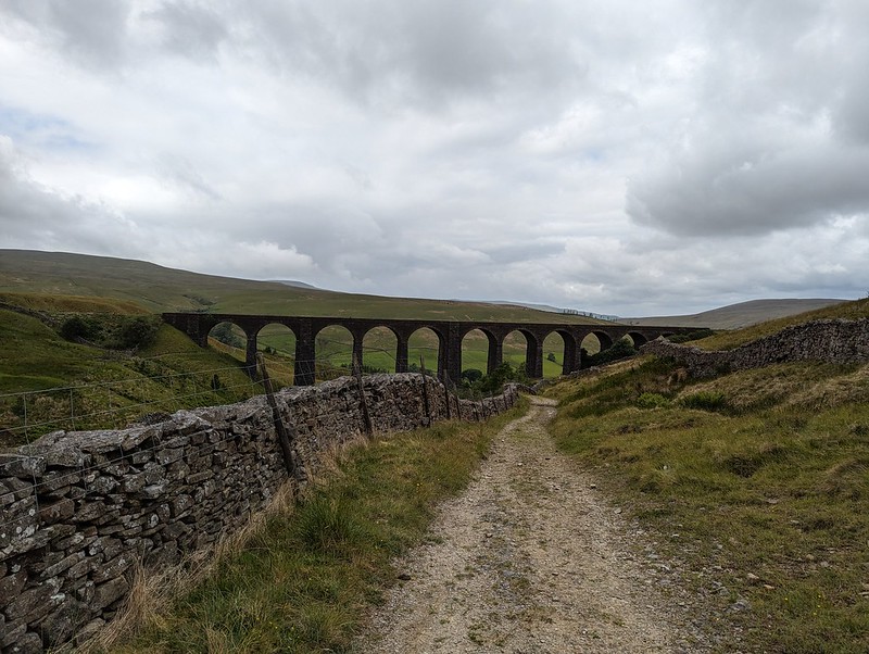
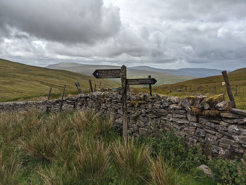
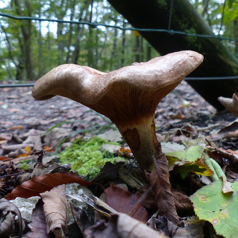
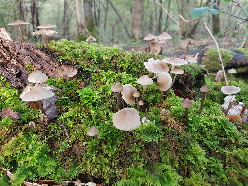
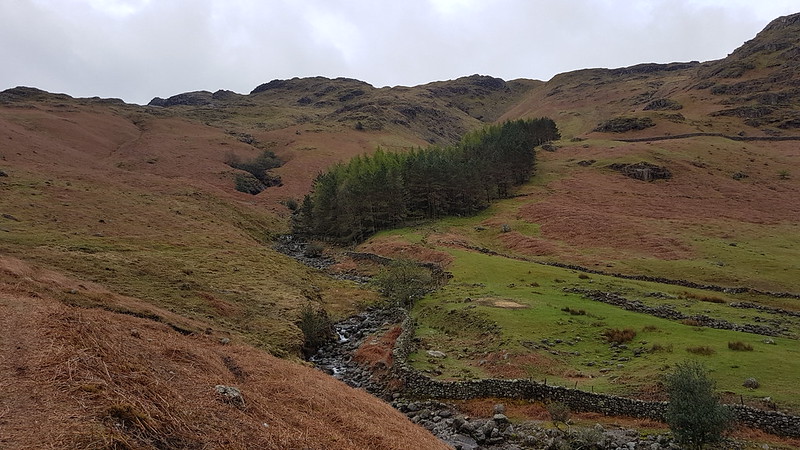
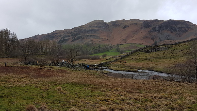
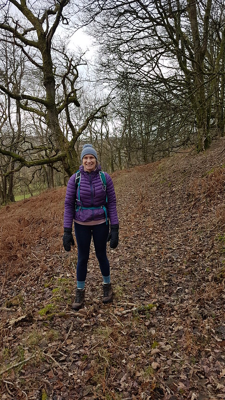
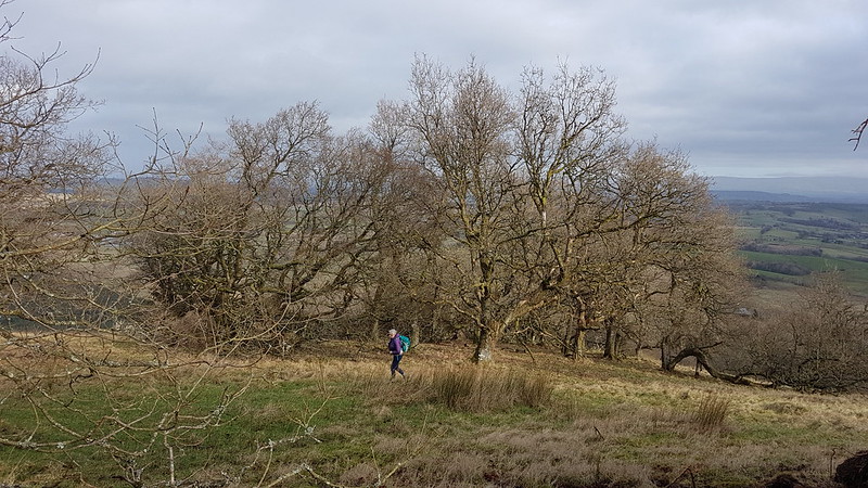
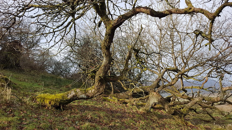
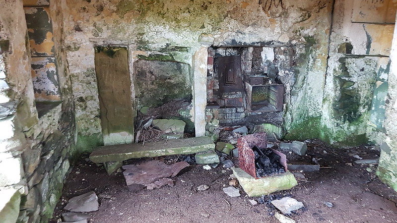
Instead, I followed the right-of-way down into Melling Wood – I know I’ve enthused about this steeply-sloping oak wood on the blog before. It’s a lovely spot.
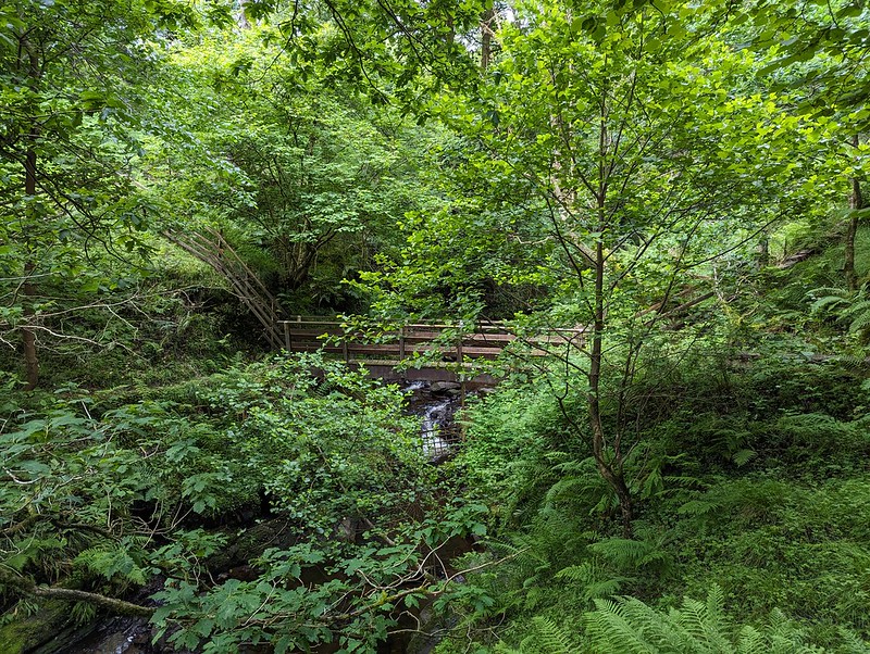
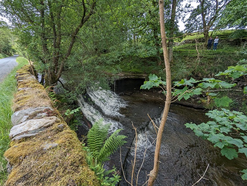
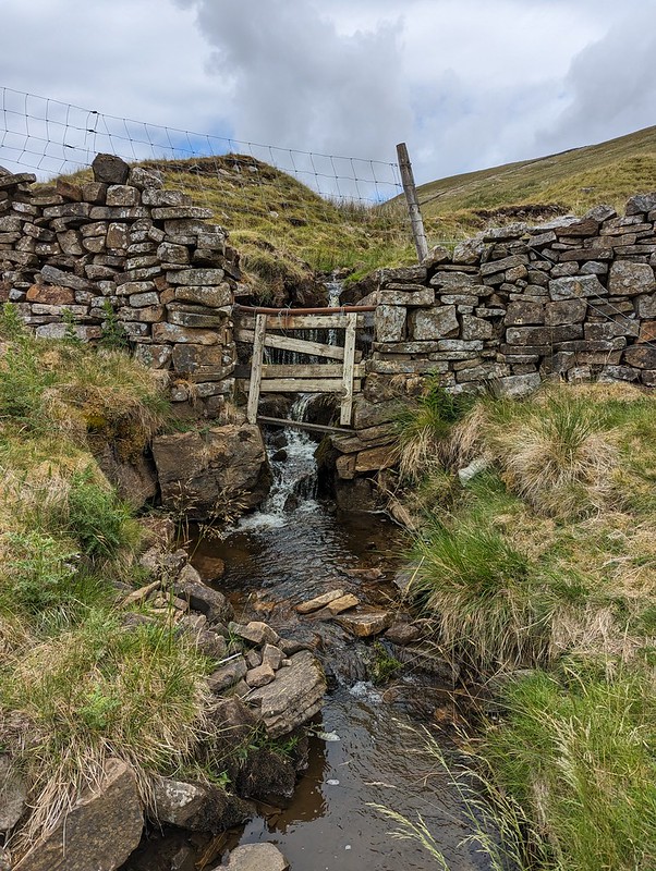
So – I’d realised that if I stepped over the fence by this footbridge I would be on Access Land. Well, almost: strictly speaking I would also need to cross a sidestream of Mallow Gill too, but once on the far bank, I would be on Access Land. Easy.
Or so I thought.

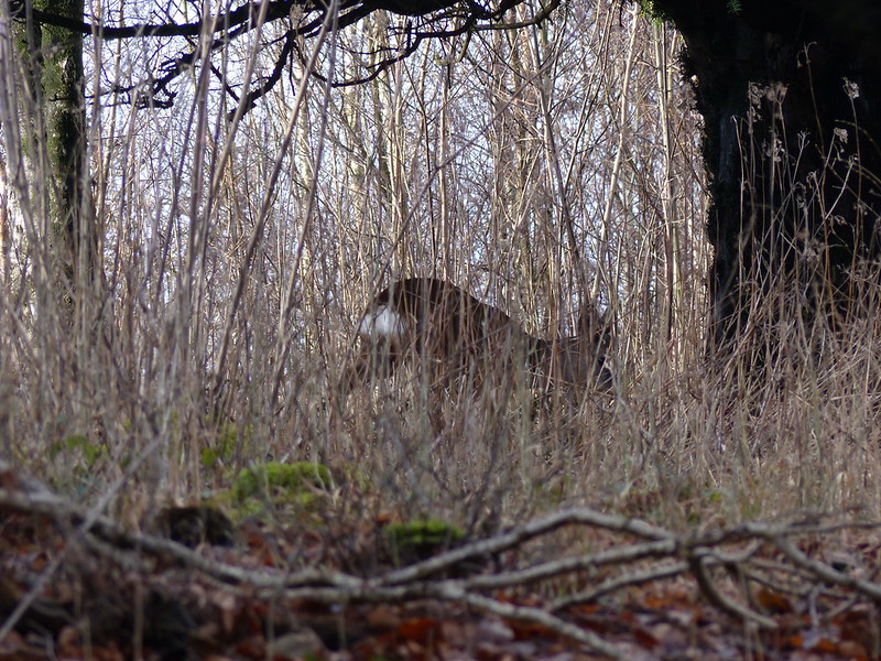
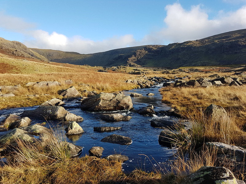
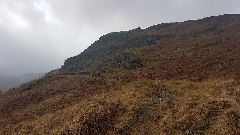
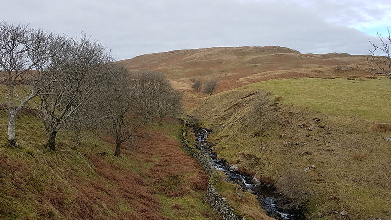
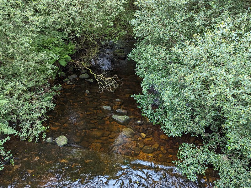
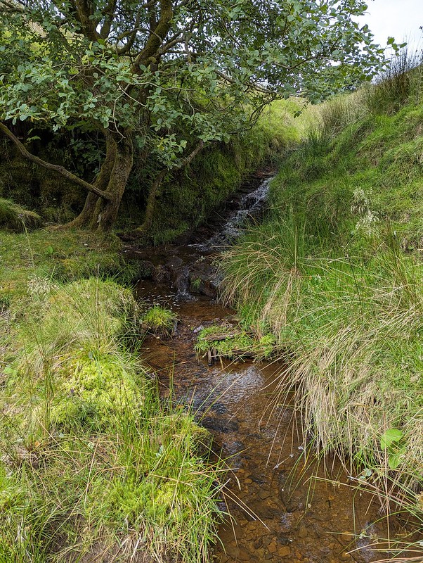
The sidestream I needed to cross is on the right here, although you can’t really see it in the photograph. My problem was that the banks were very steep and I didn’t fancy trying to get down into it, or fancy my chances of successfully getting up the far bank. On the map, the hillside here looks entirely benign, with widely spaced contours – there’s no hint that this will be steep terrain. But it was. And the ground was dry and seemed to be composed of leaf mould, which was loose and unstable and difficult to make progress on. Added to that, there were lots more steep-sided sidestreams which the map also fails to disclose.
I eventually climbed to the top edge of the wood and followed a very boggy path there which looked to have been made by hooved creatures – sheep or deer. I fell into one of the boggiest bits, which rather negated the way the weather considerately directed the showers away from me.

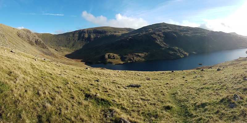
Anyway, I eventually climbed high enough to leave the wood and finally managed to cross the stream on to the Access Land. The stream, Lambclose Syke, was comically small by now, making a mockery of my previous inability to cross it.

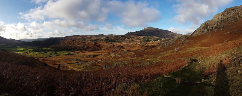
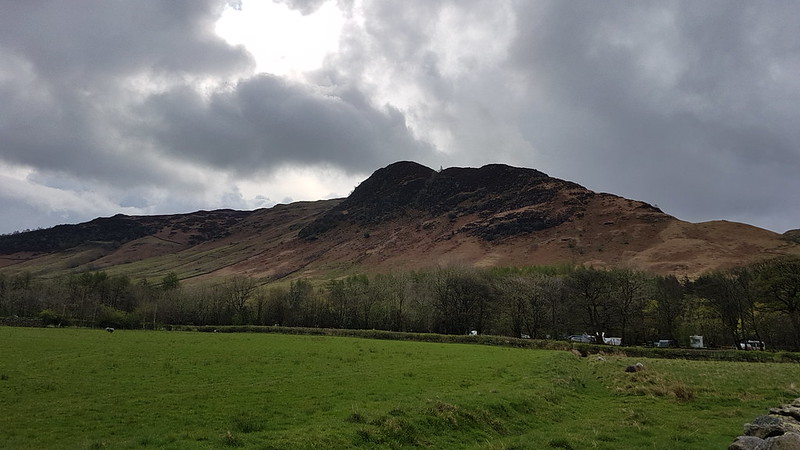
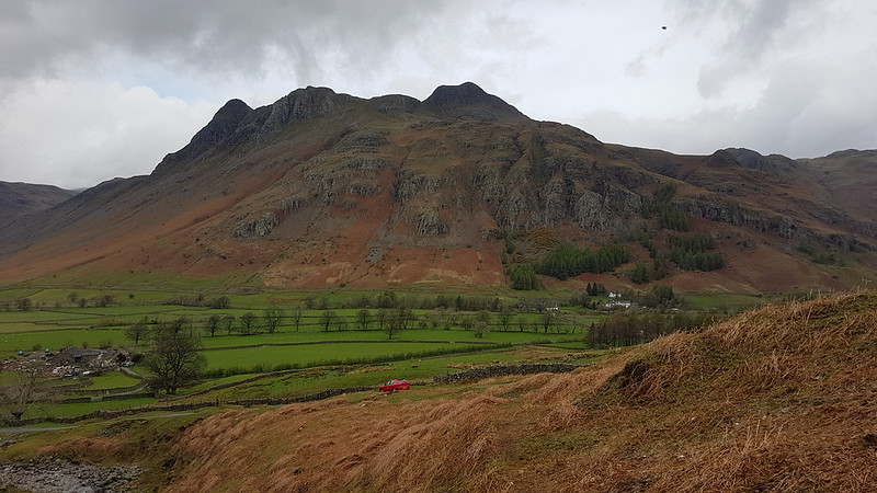
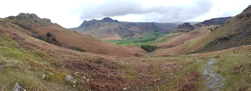
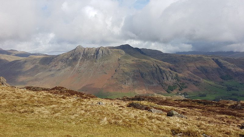
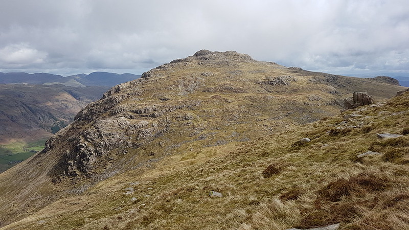
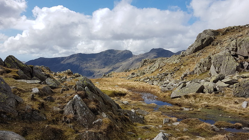
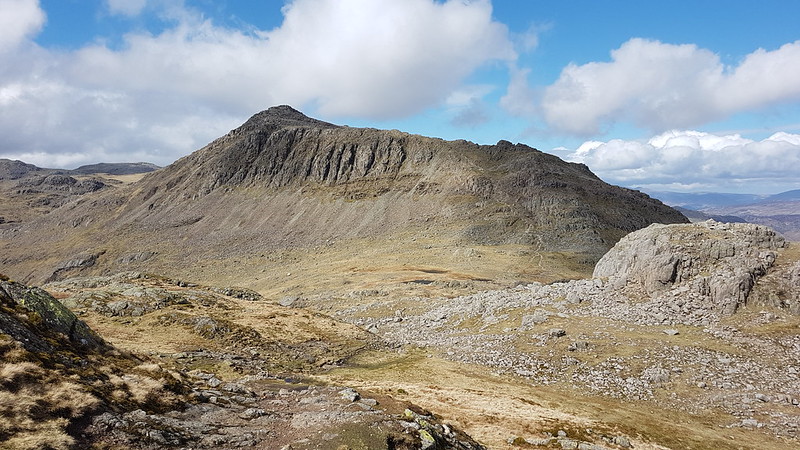
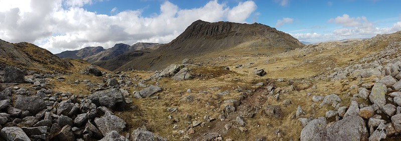
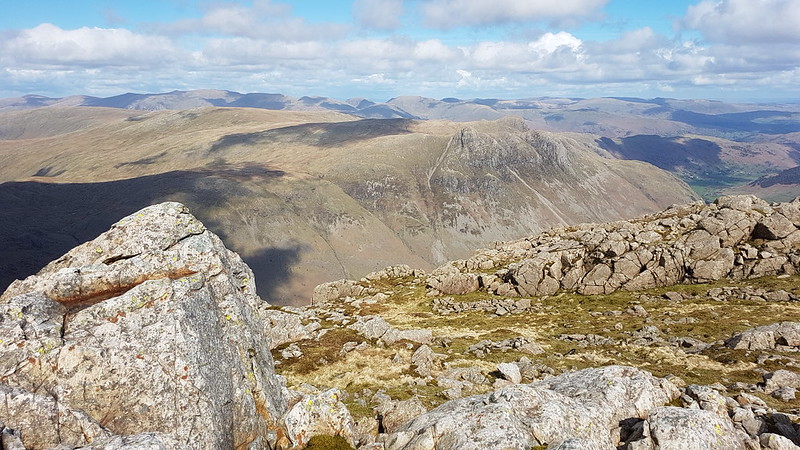
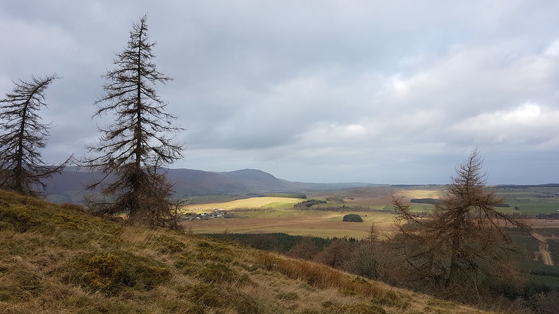
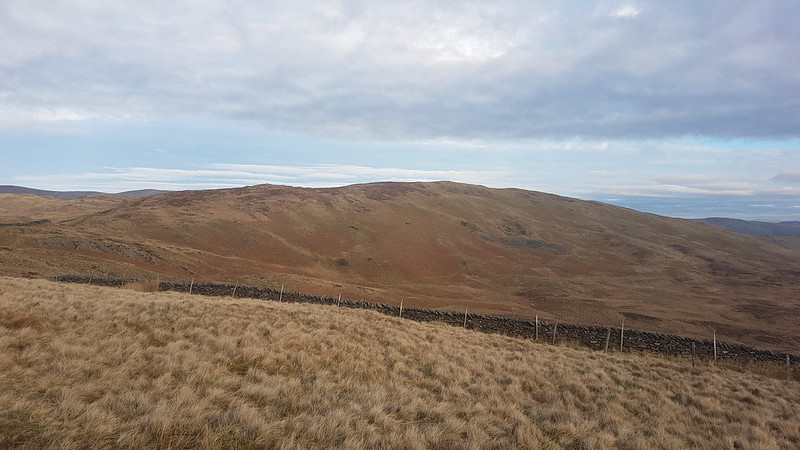
Mallowdale Pike is an unusually shapely fell by Bowland standards, at least when seen from below. I’ve been intending to climb it for an age. I had half an idea to include it today, but it didn’t really fit neatly with the rest of my plans, so it’s still on my ‘to-do’ list.

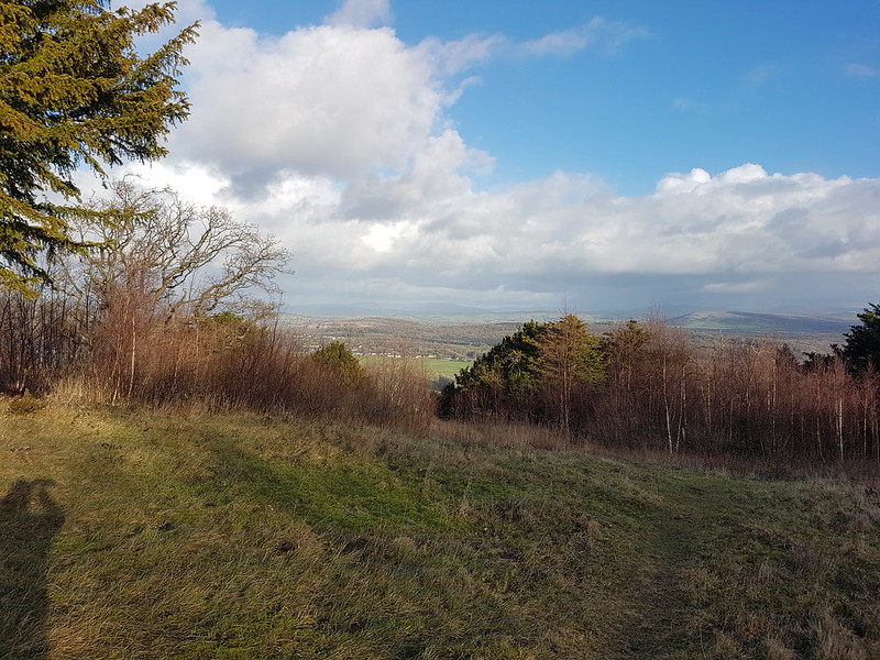
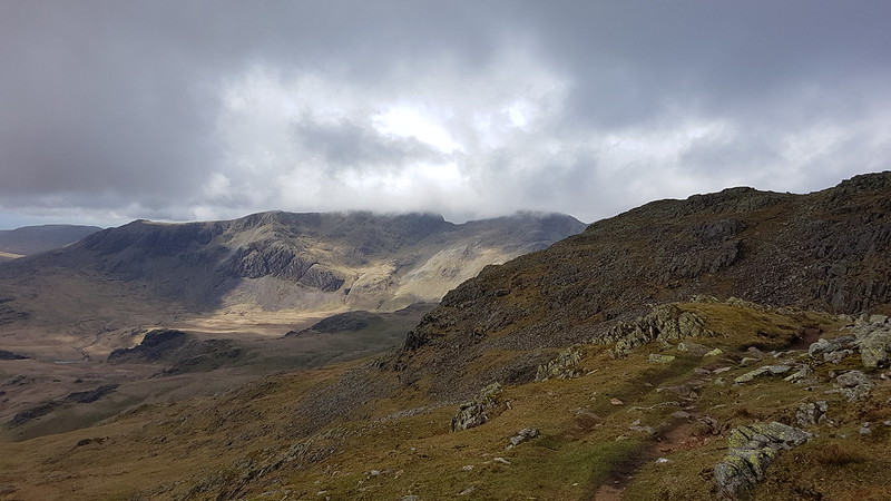
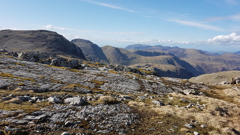
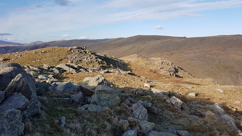
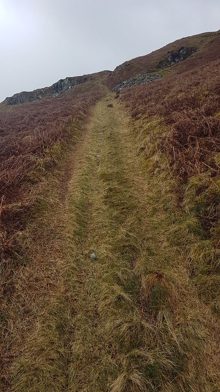
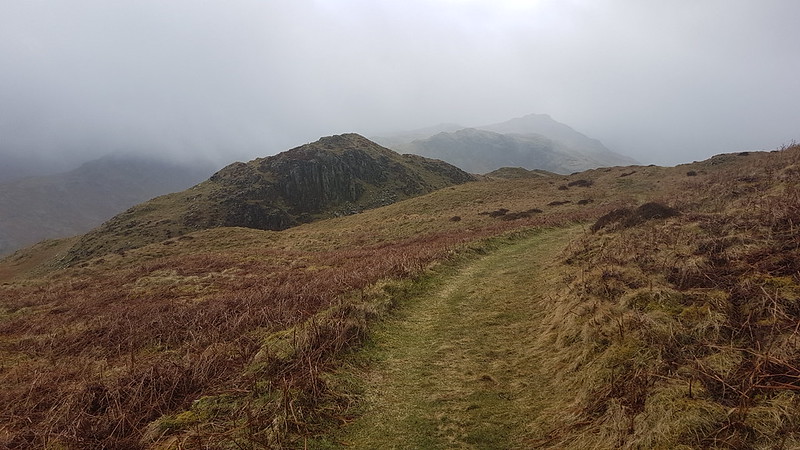
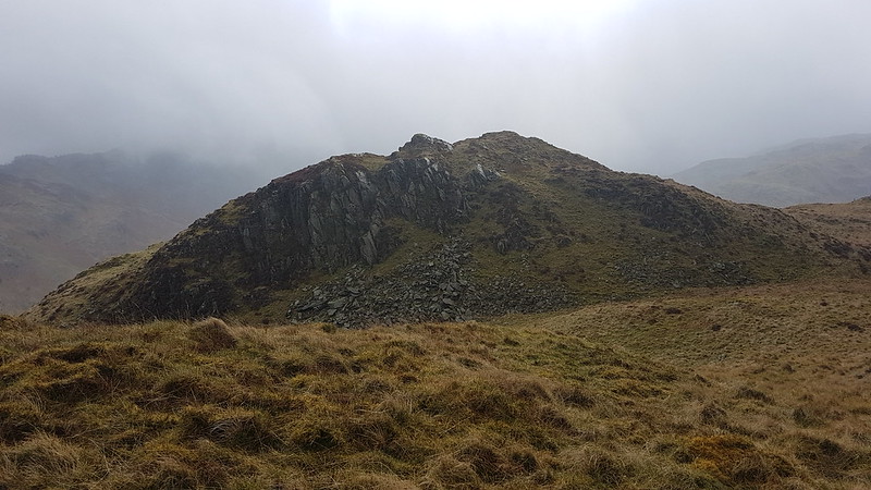
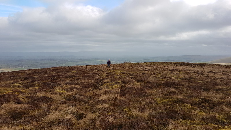
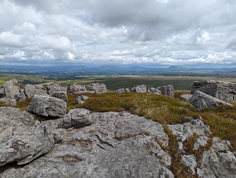
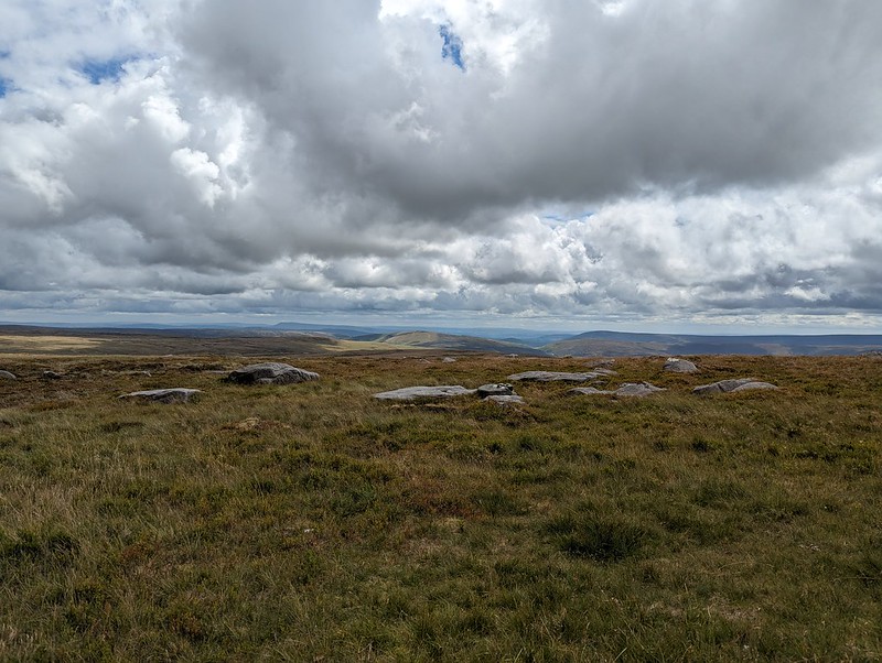
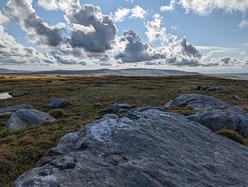
Instead I headed up Gallows Hill and then along the rock scattered edge from there to High Stephen’s Head.

This hollow offered excellent shelter from the chilly wind, whilst still allowing extensive views to the North. Too good an opportunity to overlook, so I broke out my stove for the day’s first lengthy brew stop: Atkinson’s of Lancaster Blue Sky which is black tea but with a bit of Grapefruit flavour, my go to hike brew these days.

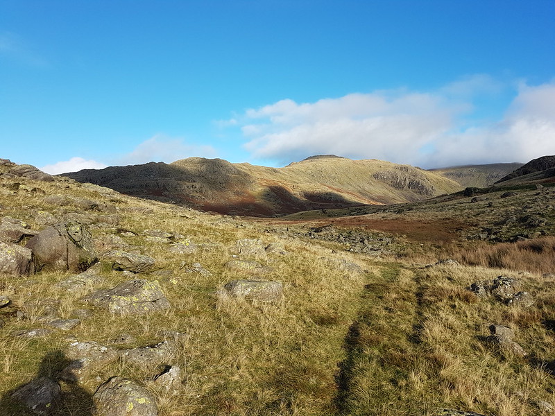
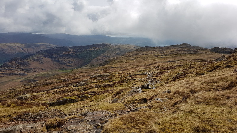
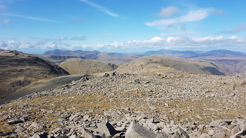
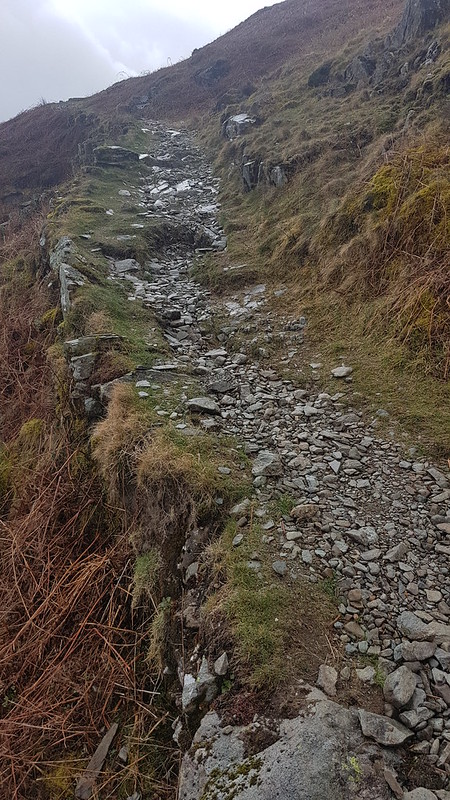
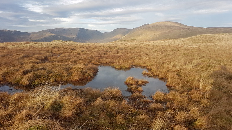
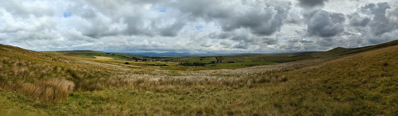
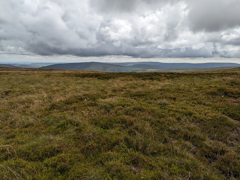
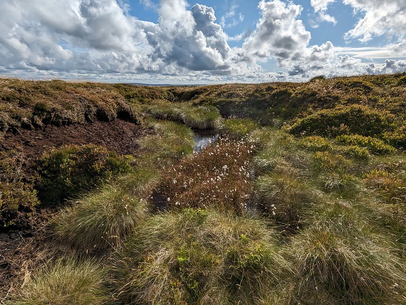
Paths in the Forest of Bowland are usually little used, sketchy or even non-existent. The going was often rough and quite hard work. My hand-me down boots did me proud though, and my feet stayed dry through all of the bogs and peat hags.
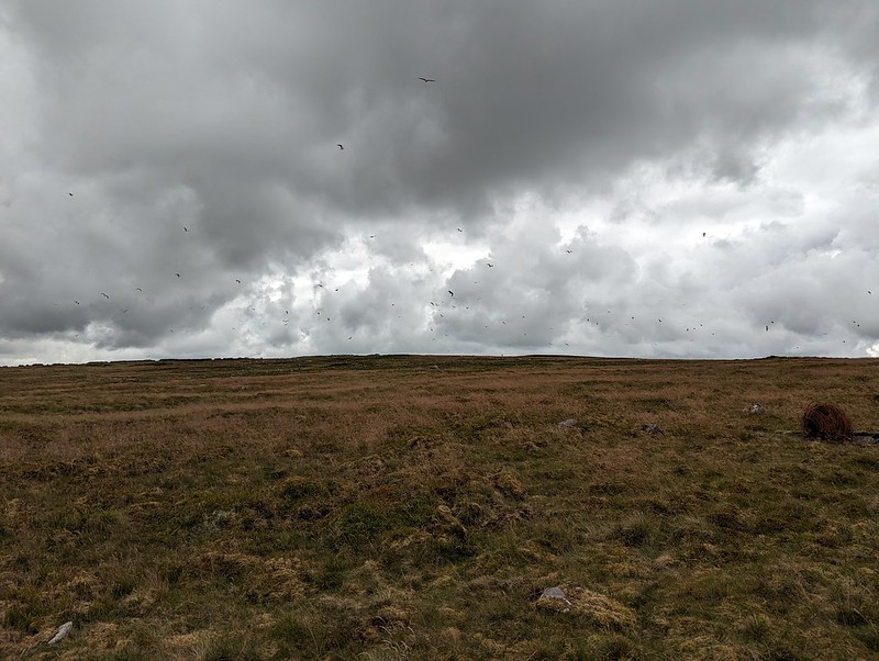
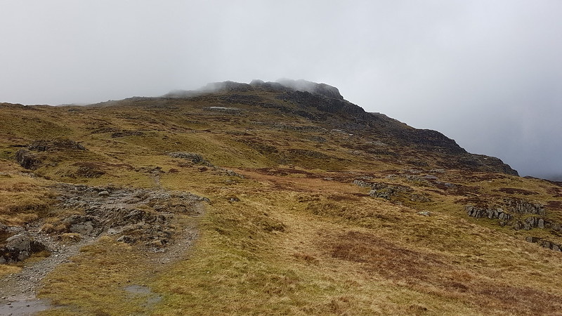
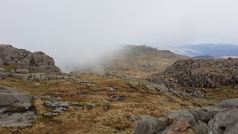
As I approached Ward’s Stone, the air was thronged with Lesser Black-backed Gulls. The cacophony was astonishing. The walk between Ward’s Stone and Wolfhole Crags was accompanied by the constant calling of the gulls, who seemed to be always on the move. Apparently, the breeding colony here was once the largest in the UK, but for many years culling was allowed, ostensibly to protect the water course from pollution, but since the gulls will eat Grouse eggs and chicks the action also protected the shooting industry’s revenue. It seems that after the species was red-listed and the licence to cull elapsed, the persecution continued illegally, for a while at least. I haven’t managed to find any data regarding the recovery or otherwise of the breeding colony. There seemed to be a lot of gulls, but that’s not very scientific evidence. This colony was at one time the largest in the UK, and since the UK has 40% of the World’s population of this species, it was pretty important.

I know that gulls often vociferously protect their nests and I fully expected to be dive-bombed, which I wasn’t looking forward to, but whilst they made a lot of noise, the gulls left me well alone – maybe I didn’t get close enough to their nesting sites?

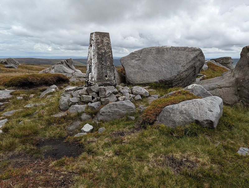
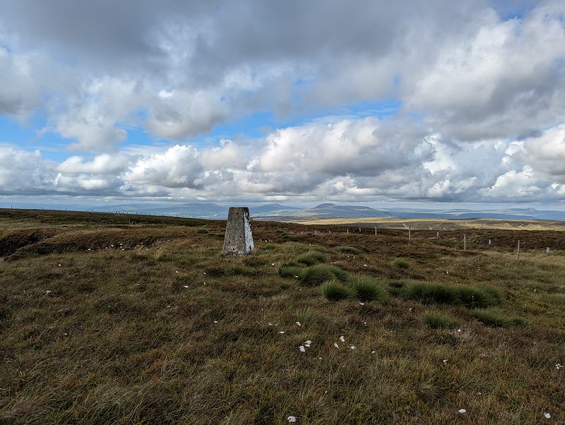
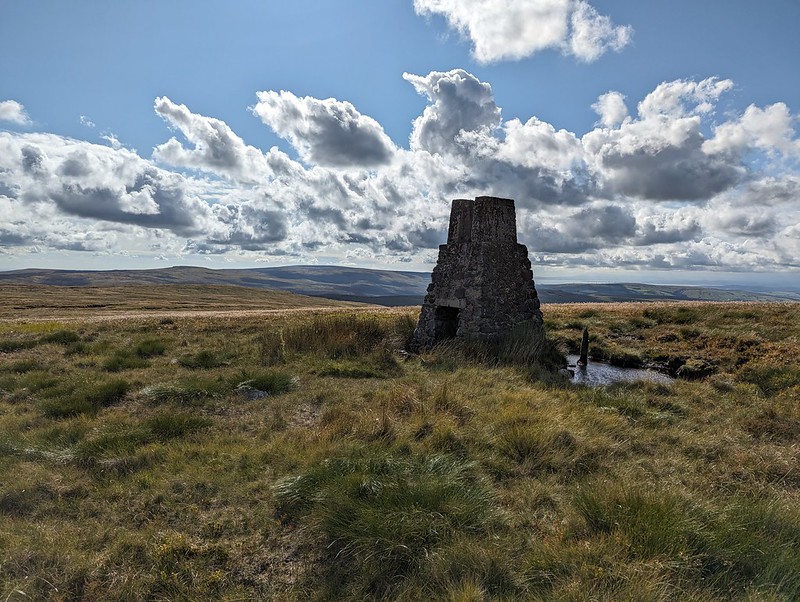
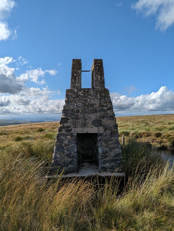
I think this must be the feature, close to the eastern summit of Ward’s Stone, marked as the Queen’s Chair – to be honest, it didn’t look remotely comfortable.

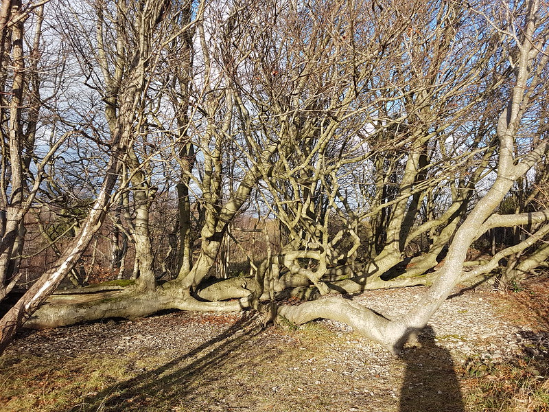
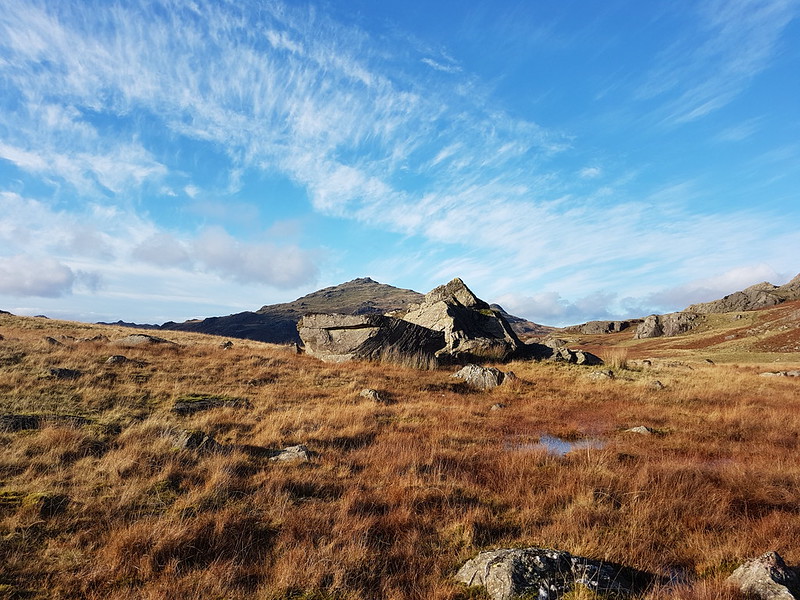
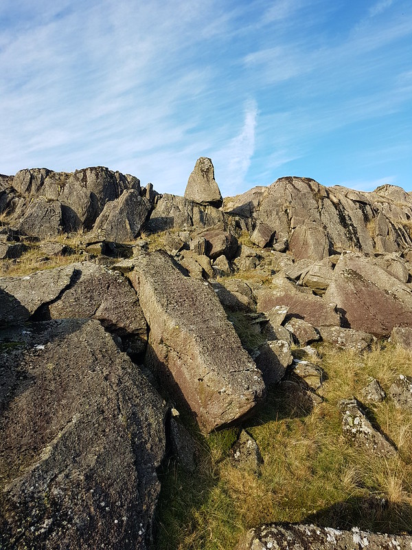
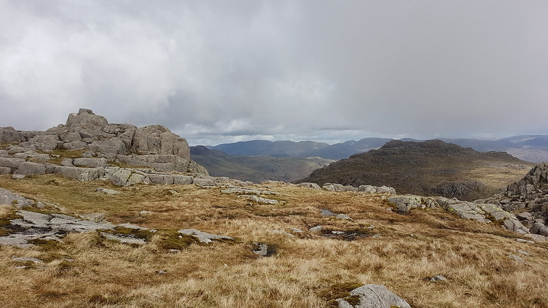
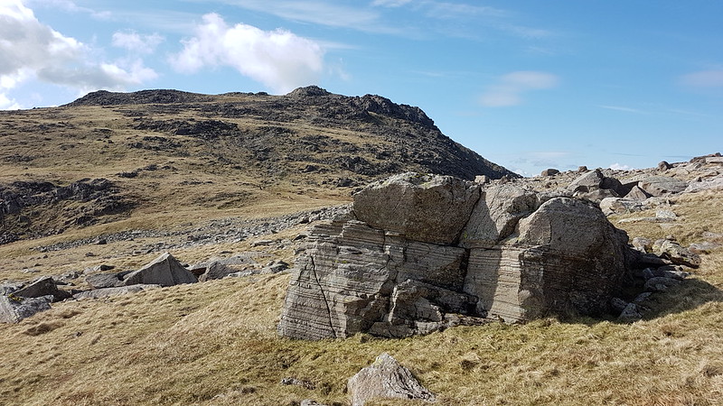
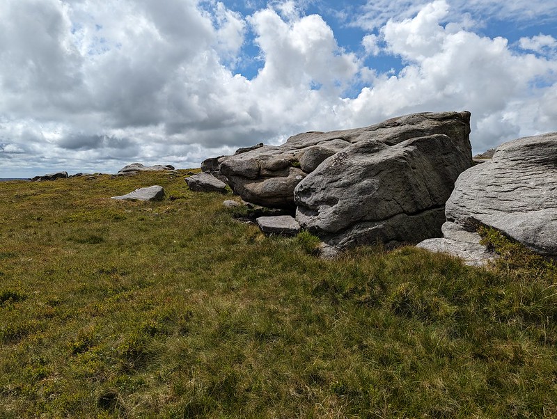
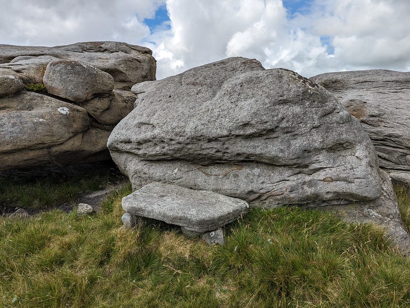
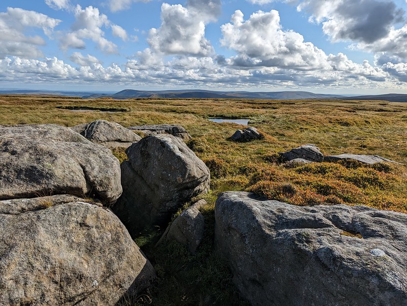
This jumble of large boulders seems to be called Grey Mare and Foal although I couldn’t see why. However, on the leeward side of the rocks, well out of the wind…
There’s was a large flat slab, resting on other rocks, which must surely have been laid like this to make a seat? It was extremely comfortable, with a view of my route ahead, and an ideal spot for brew number two and a spot of lunch.
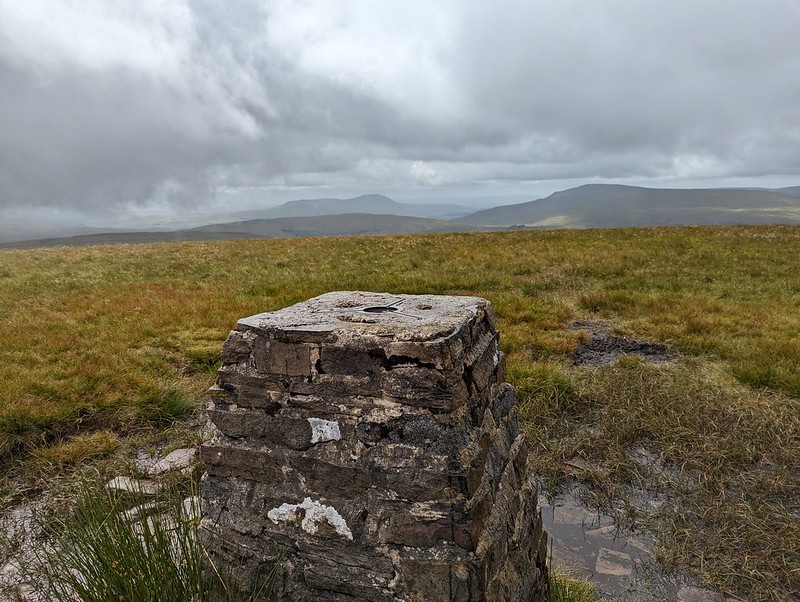
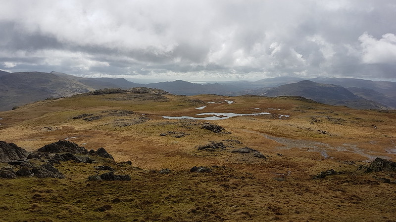
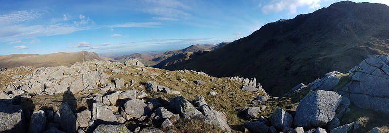
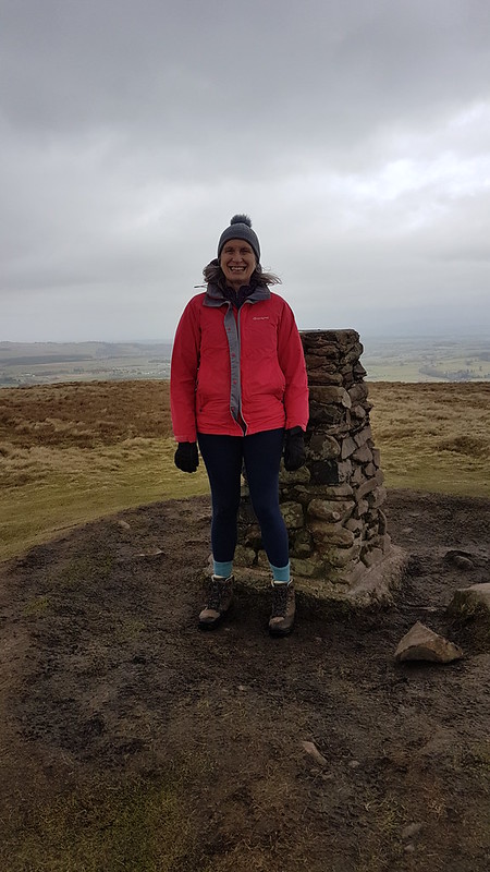
Here on Ward’s Stone, the highest spot in the Forest of Bowland, I saw some other walkers: two couples. They were the only other walkers I met all day.

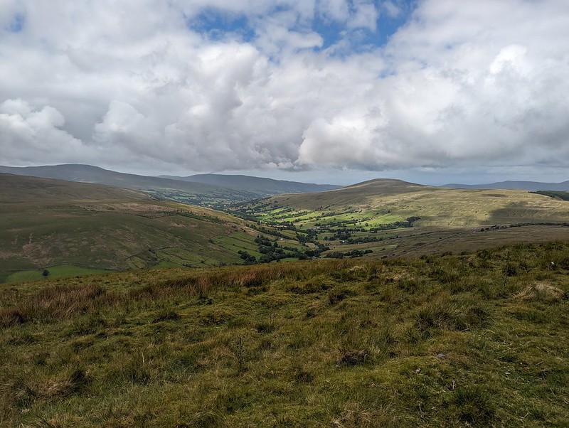
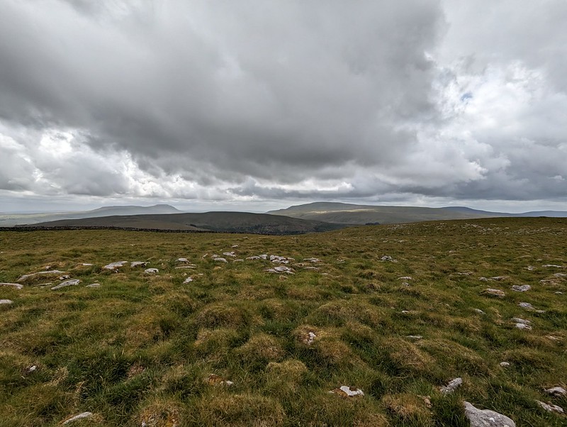
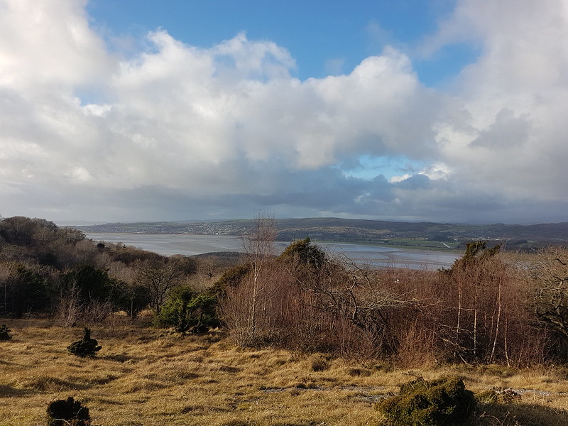
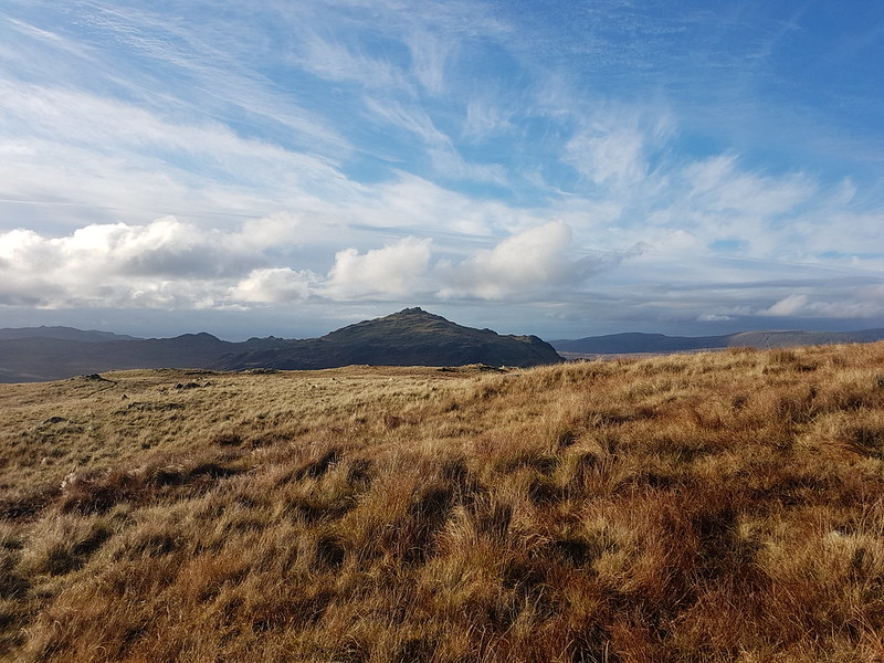
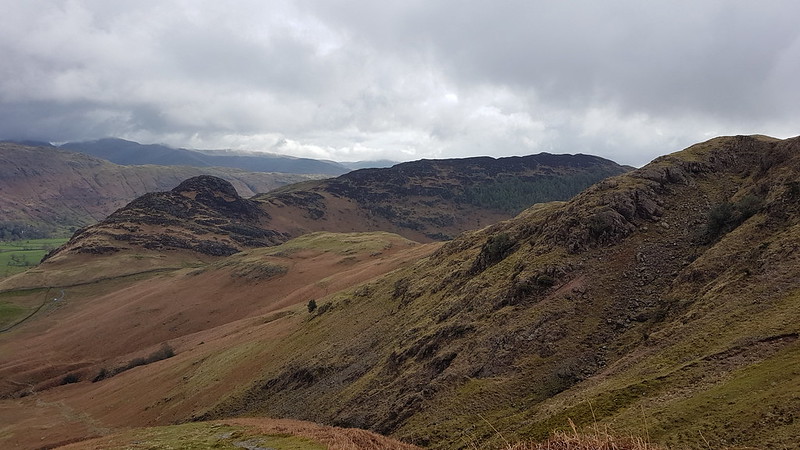
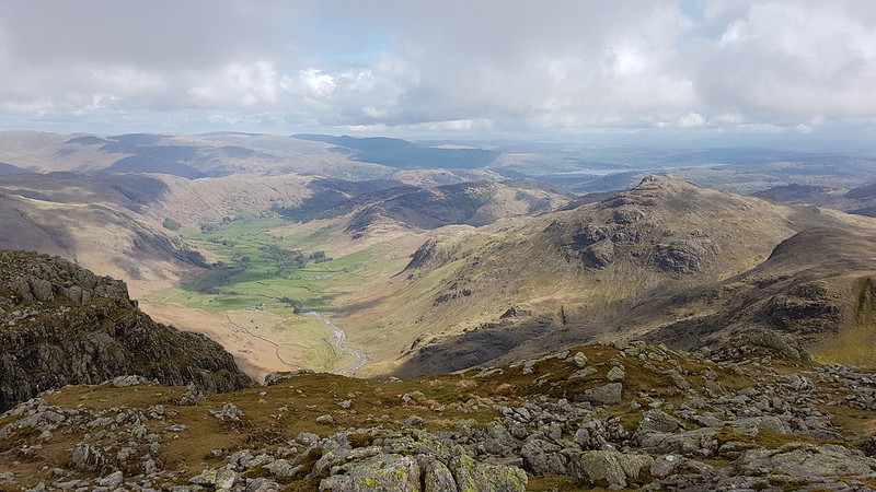
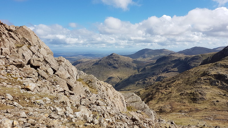
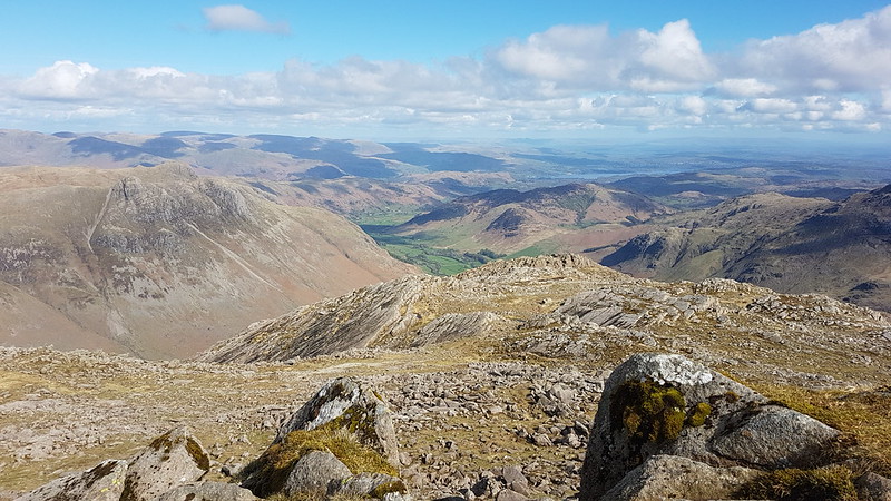
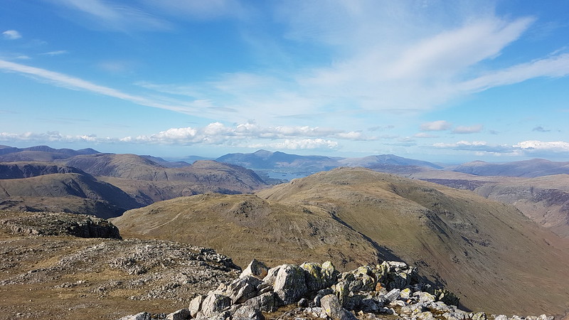
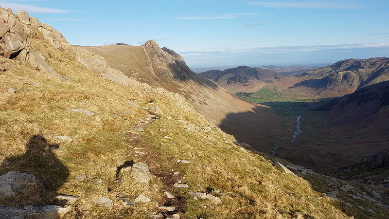
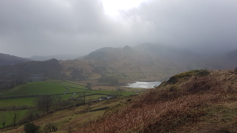
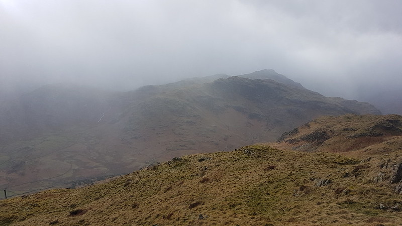
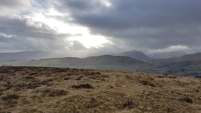
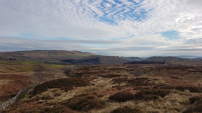
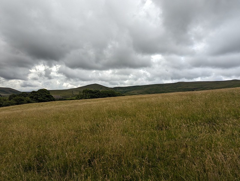
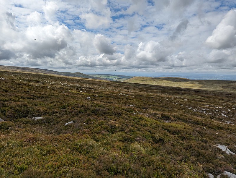
Whilst Pendle Hill stands proud and alone and is very distinctive and easy to recognise, Fair Snape Fell is the highest hill in a jumble of Bowland fells which I’m not sufficiently familiar with to distinguish between.

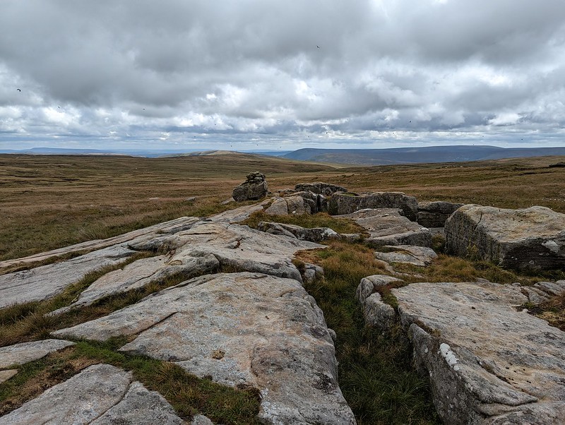


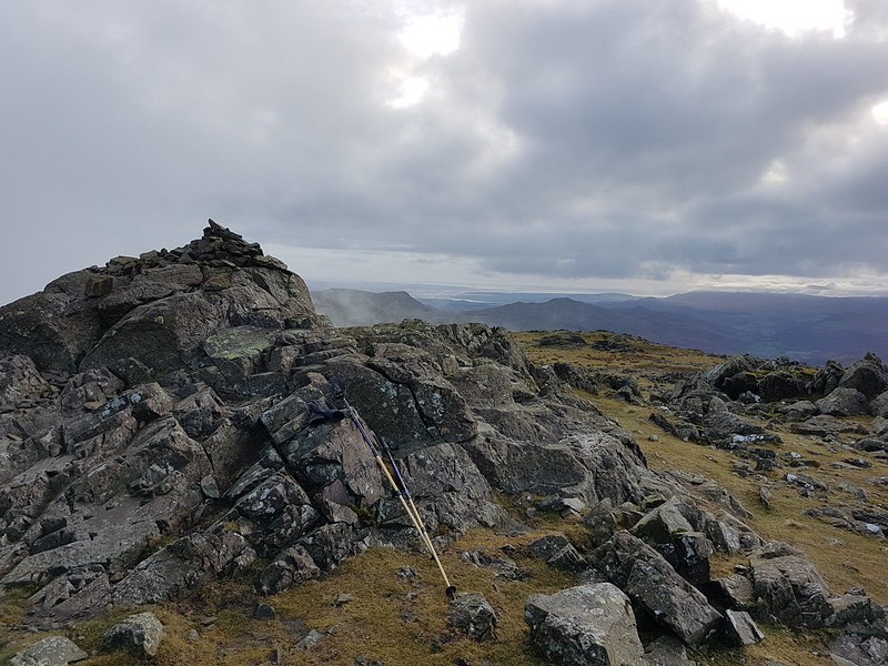
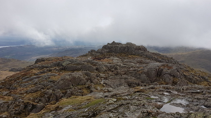
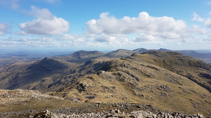
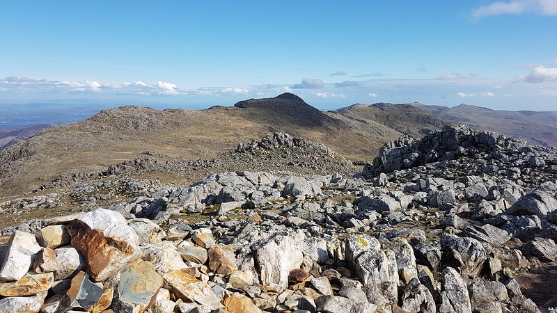
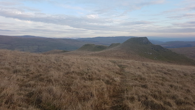
I think I’ve been to Wolfhole Crag before, many, many years ago. But if I have, I’d forgotten its jumbled, bouldery edge. I was impressed with what I found. I suppose that when a walk mostly covers quite featureless, bleak moorland, any rocky character really stands out.


I found another spot out of the wind, behind one of the towering boulders, made yet another brew and may have drifted off for a bit.

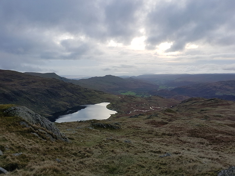
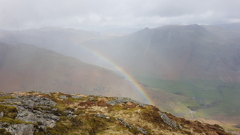
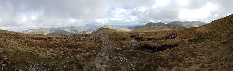
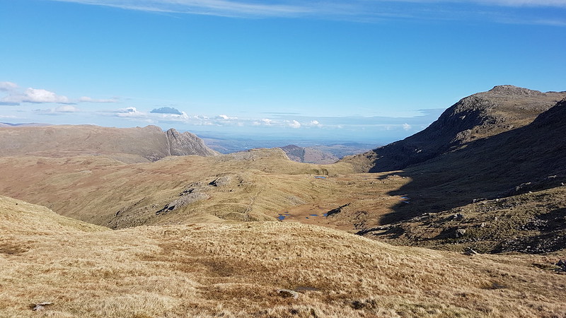
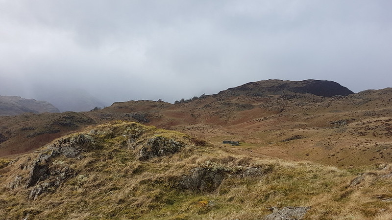
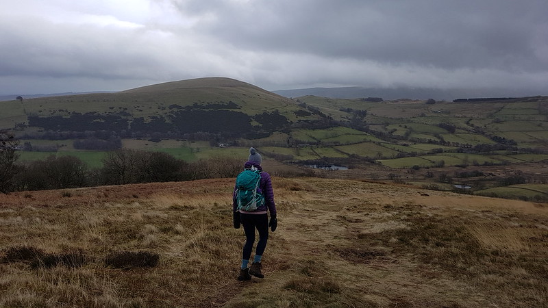
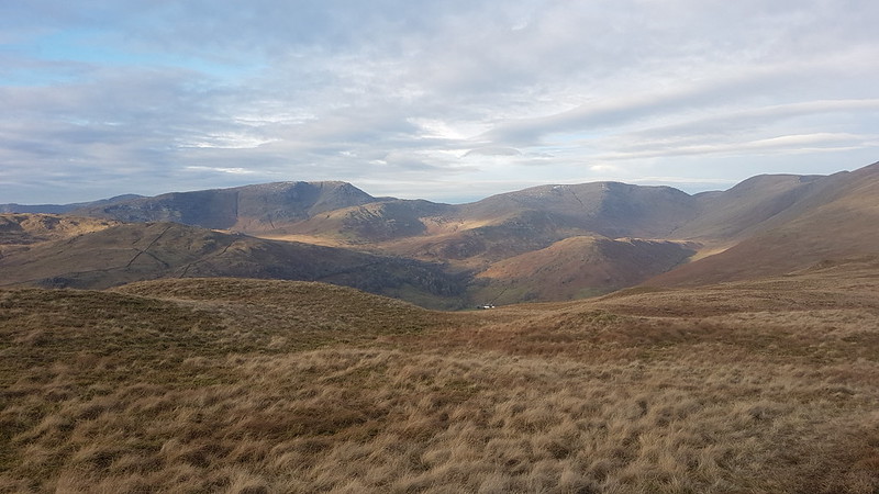
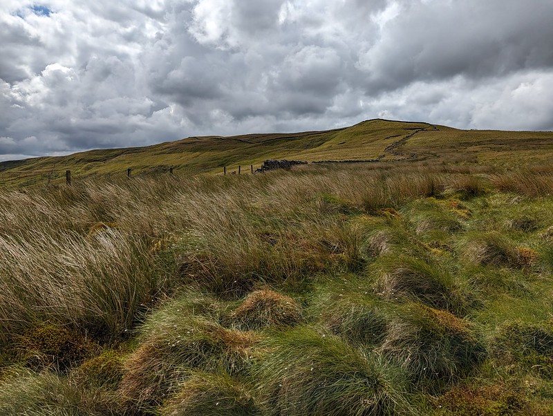
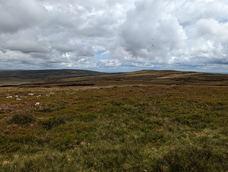
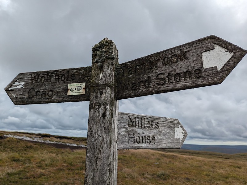
From Wolfhole Crag, I dropped down to the Hornby Road. This would be my return route to my car, but I decided on an out-and-back to White Hill first, even though it was already well into the afternoon.
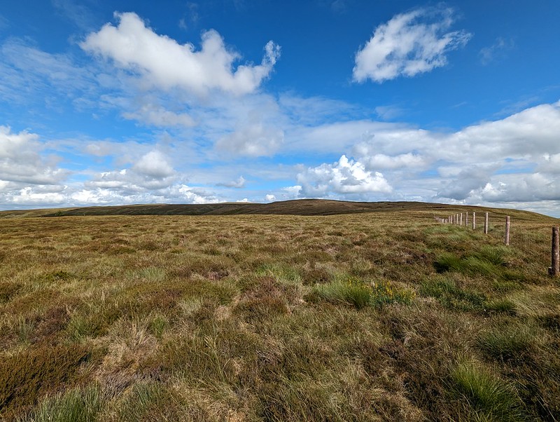
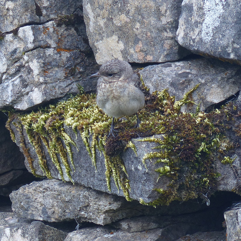
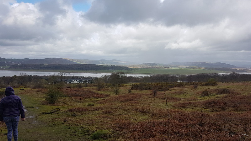
I’m assuming that White Hill is not often visited. There wasn’t much of a path and the going was hard work in places. On the other hand, the sun came out, and there were no Lesser Black-backed Gulls which meant a bit of relief from their raucous and relentless cawing. What’s more, it also meant there were other, different, birds to see. In fact, I was quite surprised to find how much time I spent taking photos of birds.

Mostly, my photos are really rubbish shots of Golden Plover. I didn’t see many, perhaps three, but those birds seemed happy to play a game with me, bobbing up and down in the grass and heather, or suddenly appearing in full sight, but with the light behind them so that all I could capture was a silhouette.
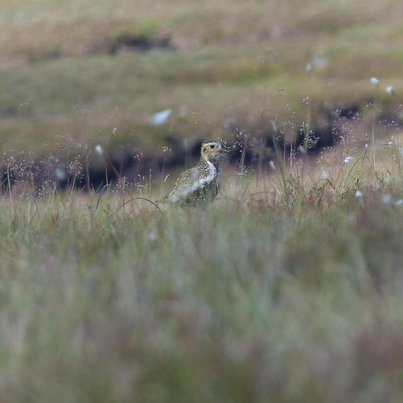
My game of hide-and-seek with this bird must have looked particularly comical: we were on opposite sides of a peat hag and both anxious not to be seen, so were both bobbing in and out of sight. I have lots of photos, but in most of them my camera has done a fabulous job of focusing on the vegetation between me and the plover.
I haven’t often seen Golden Plovers before though, so was very happy to have an opportunity to get even dodgy shots.
I also took a few blurred photos of Curlews in flight. And two distant, not especially sharp photos of what I’ve almost convinced myself might be a Merlin – Britain’s smallest bird of prey which lives on small moorland birds like pippits. I thought I saw one once before, flying around the craggy edge on Clougha Pike, not so far from here.
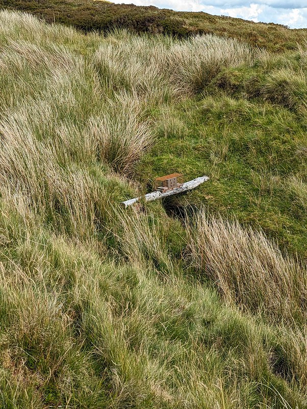
There are three of these fairly tall structures on White Hill. There are similar pillars on Selside Pike near Haweswater in the Lake District, and on Tarn Crag above Longsleddale. They were used during the construction of the Haweswater Aqueduct which carries water from Haweswater reservoir in the Eastern Lakes to Manchester.
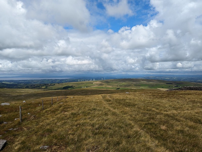
My descent route was very close to the way I had come up, but the rocky slabs of Botton Crag gave slightly easier walking than the heathery amd tussocky terrain elsewhere on the moor.

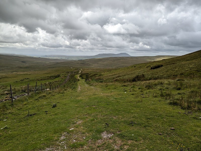
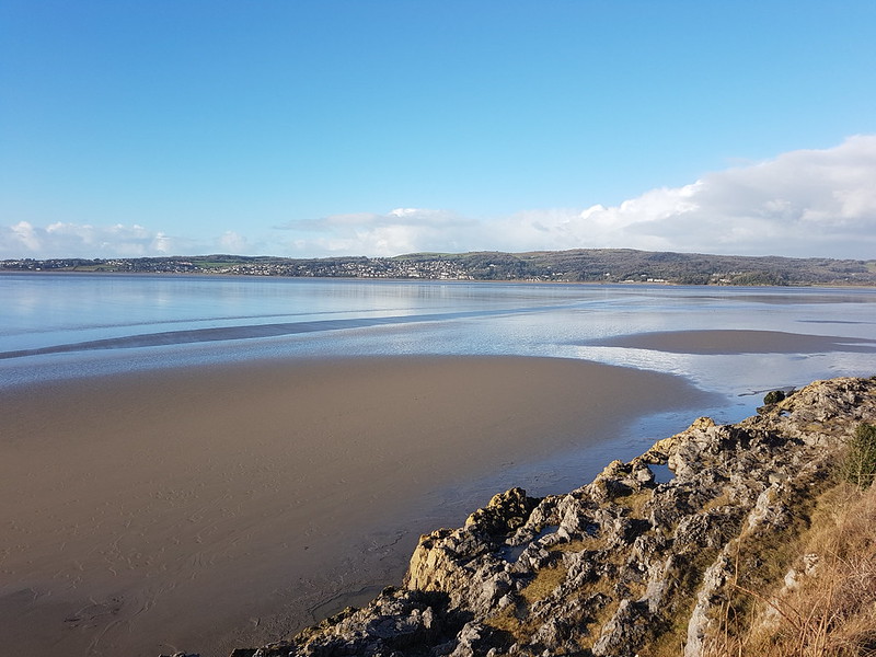
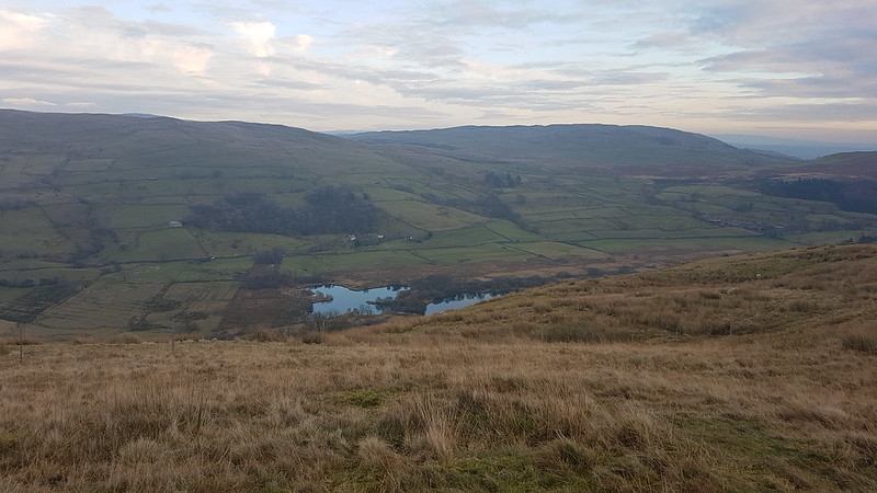
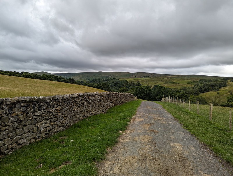
On the map, Hornby Road is marked as a Roman Road, although it seems the modern track may not always stick to the Roman route. The track connects Slaidburn to Hornby and Wray in the Lune valley. A quick Google suggests that it is popular with cyclists, which makes a lot of sense.
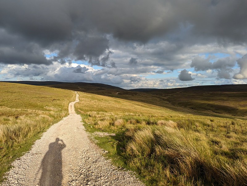
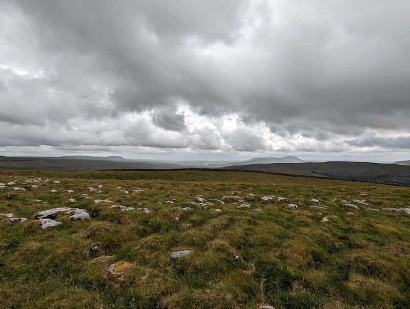
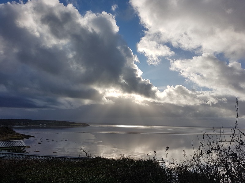
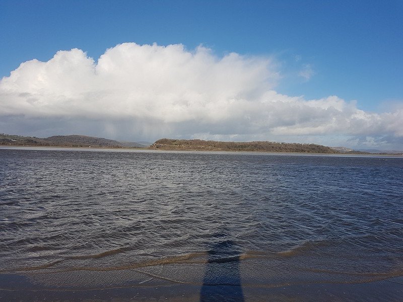
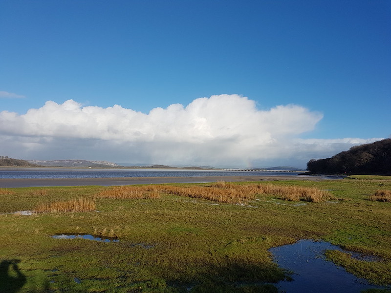
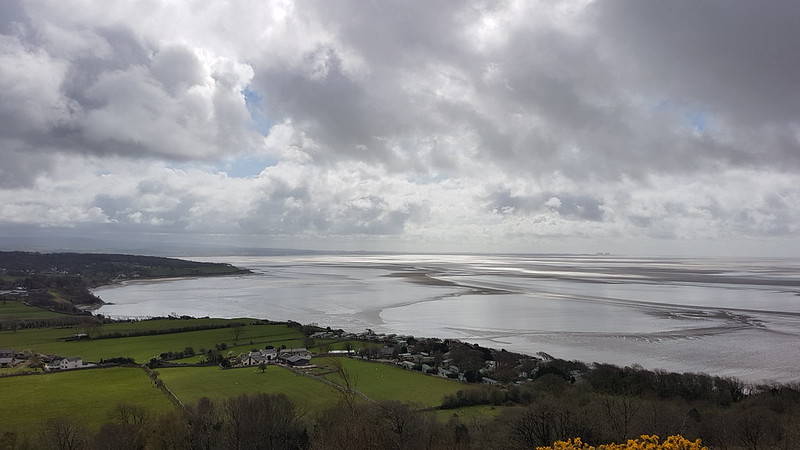
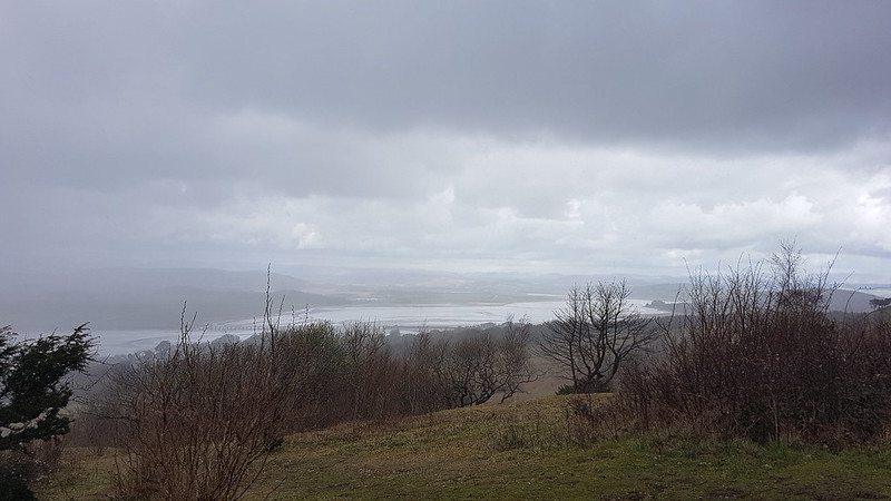
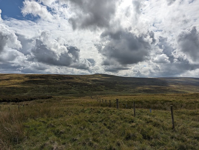
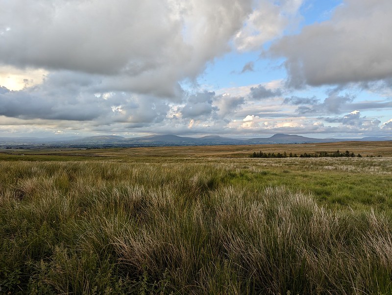
Although I still had quite a long way to go, the track at least gave some easy walking to finish my long day. With the clouds gathering, the drama of the skies and the light kept me royally entertained.
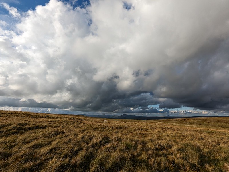
Fortunately, my ‘new’ phone seems to have a really flair for clouds – I imagine the in phone processing power of the software designed by the boffins at Google?

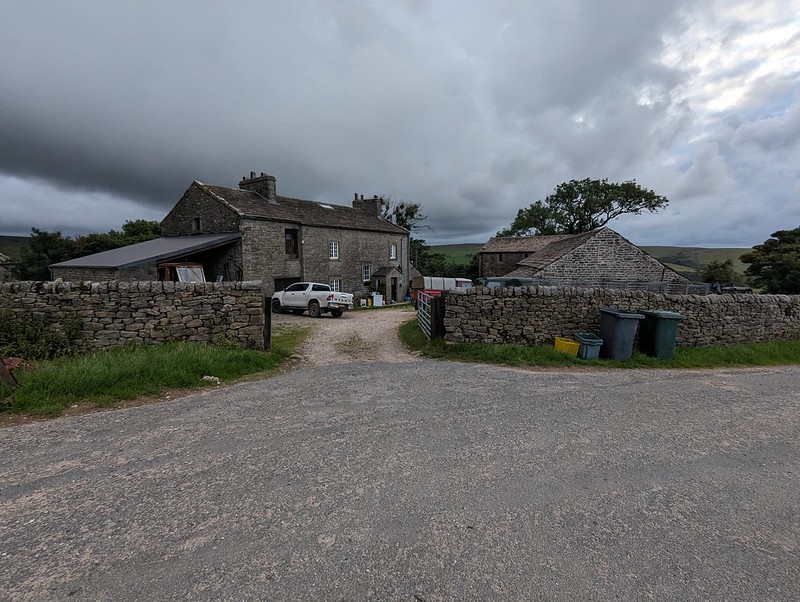

As the evening grew gloomy and I put my cag back on for the last few hundred yards, the local farmers were still busy cutting the grass for silage.

MapMyWalk gives a little under 18 miles and around 660 metres of ascent. More importantly, another day of really enjoyable walking.