Monsal Trail and Dove Dale

PXL_20230811_115320630
Headstone Tunnel

I’ve always considered the view from Monsal Head of the Headstone Viaduct to be one of the iconic scenes in the Peak District. Since the days when I was a regular visitor to the area, the old railway line has been converted into a walking and cycling track, a fact which Andy alerted me to on his blog.
We’d brought the DBs bikes with us, and hired bikes at Hassop Station for TBH and myself. I remember that my bike was a Raleigh, but not which model, which is a shame, because it was very comfortable and a pleasure to ride.
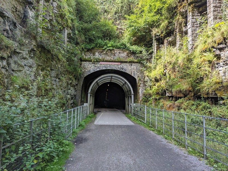
PXL_20230811_115244258
Headstone Tunnel

Hassop is near, but not at, one end of the line. We set-off west to tackle the larger portion of the trail first. There are six tunnels on the route and I seem to have taken photos either of, or in, most of them. I’m not sure why I was so chuffed to be cycling through tunnels, perhaps because I’m still essentially a big kid at heart.

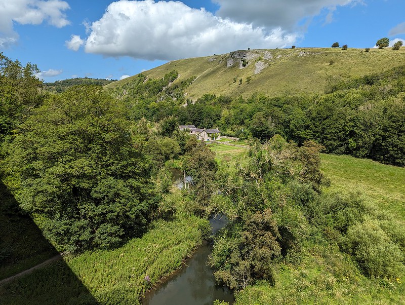
PXL_20230811_115609374
View from the Headstone Viaduct.
PXL_20230811_115644980
View the other way from the Headstone Viaduct.
PXL_20230811_121407428
Cressbrook Mill.
PXL_20230811_121737166
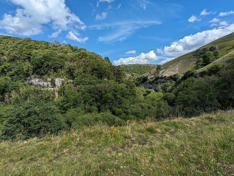
Gorge-ous scenery.
PXL_20230811_121844972
One of the dales.

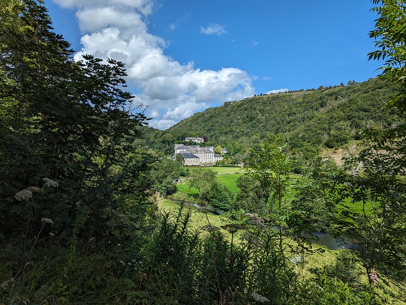
The trail generally follows the valley of the River Wye, but, confusingly, the name of the dale changes along its length: Monsal Dale, Water-cum-Jolly Dale, Millers Dale, Chee Dale, Wye Dale. It’s hard to know where the transitions occur and also hard to remember where each of the photos was taken, so I can’t say which dale each one shows!
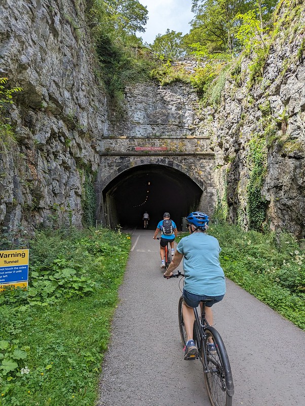
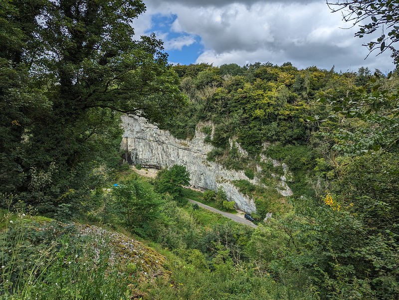
PXL_20230811_122011940
Happy bikers.
PXL_20230811_123033372
Looking down on the road.
PXL_20230811_123820204
Two viaducts near Miller’s Dale Station.
PXL_20230811_124018998
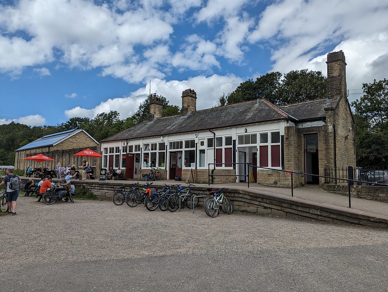
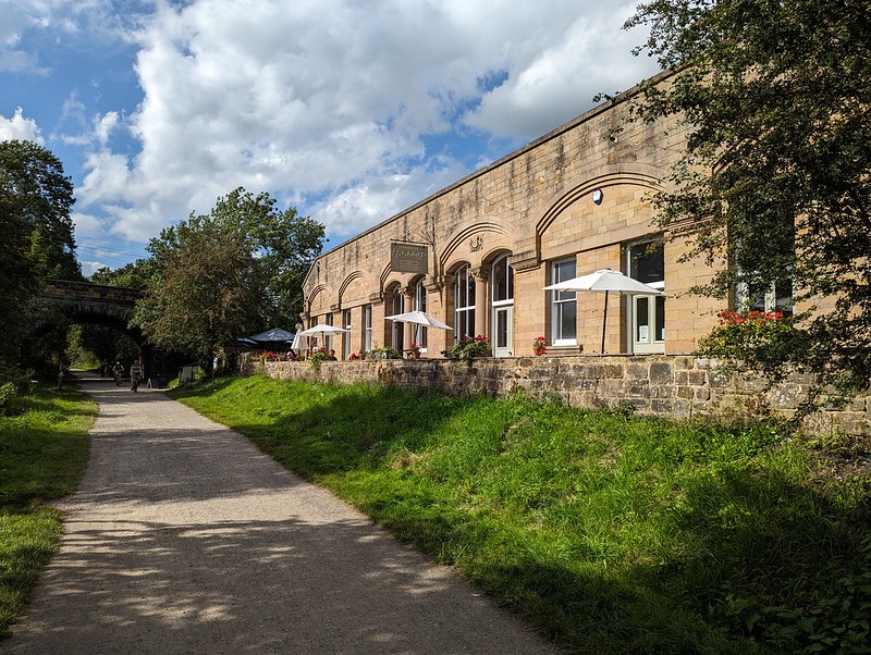
Miller’s Dale Station.

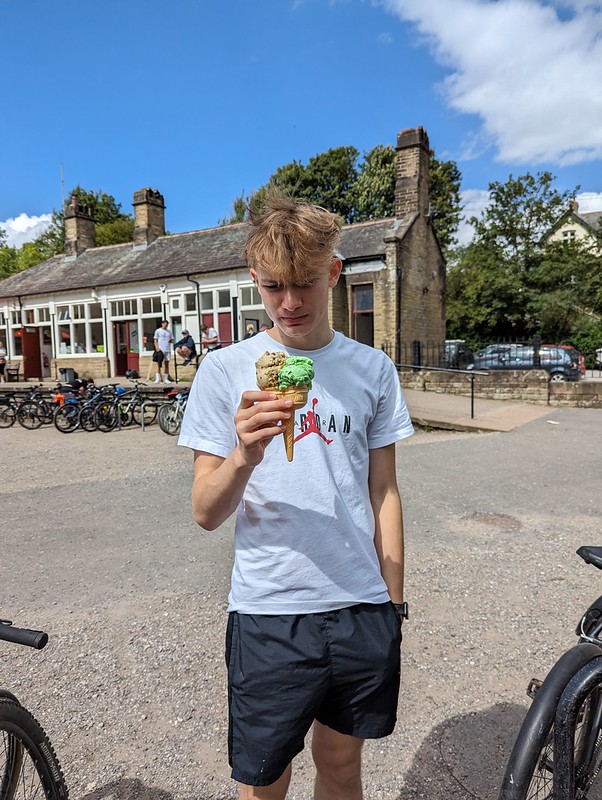
The cafe at Millers Dale station was popular and we probably should have got some lunch there. Little S did get an ice-cream, which for some reason seems to have caused some consternation on his part…
PXL_20230811_124753408
Little S with a suspicious ice-cream.
PXL_20230811_130222626
Huge limekiln.
PXL_20230811_131800573
Possibly the last of the tunnels.
PXL_20230811_132728014
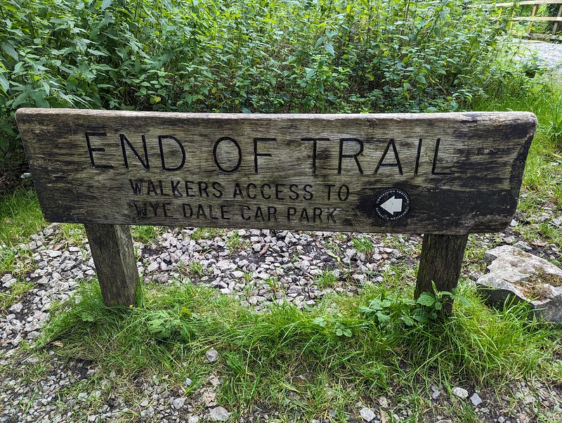
End of the line.

We’d been planning to eat at the cafe at Blackwell Mill, at the western end of the trail, but didn’t, I think it was closed. Either that, or it didn’t have any vegan options, I can’t remember.

PXL_20230811_133019480
Chee Dale.

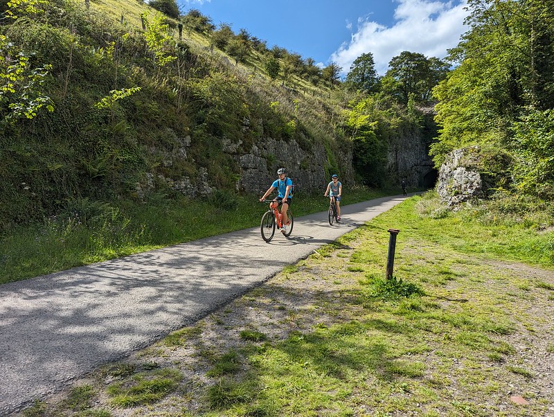
I’d chosen to start near the Bakewell end because I’d read online that it would be uphill from there. It must be a very gentle gradient: it hadn’t seemed uphill, but now that we turned around, the difference was really obvious and going the other way was much faster and could be free-wheeled.
PXL_20230811_133348739
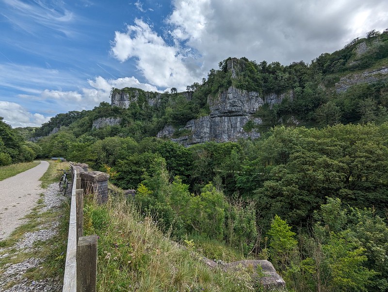
Chee Dale from the little spur.

I had noticed a short spur here coming post and took a detour now to have a nose. It was well worth it for the view.
PXL_20230811_135519811
Free-wheeling.
PXL_20230811_135535520
One of the Dales!

Back at Hassop station we had a very late lunch in the excellent cafe there, which is highly recommended.

We were running short of time on our bike rentals, so I asked in the shop whether we were okay to cycle to the other end of the line near Bakewell. I was told that it was fine, so long as we were back before closing, but that the return part was uphill and that many people found it challenging.

PXL_20230811_152515682
The other end of the line.
PXL_20230811_153246913
Bakewell Station.
PXL_20230811_154140351
Hassop Station.

Actually, it was fine and I’m pleased that we managed to fit in the entire route. I was hoping for a view over Bakewell, but whilst we did get some, they were partial and didn’t yield very good photos.
The whole trail is 8½ miles, so there and back is only 17, not a very long cycle ride I know, but immensely enjoyable and pretty much flat which is a big selling point as far as I’m concerned.
PXL_20230811_165405093
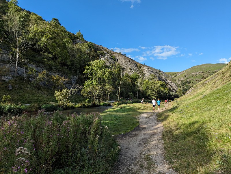
Dove Dale.

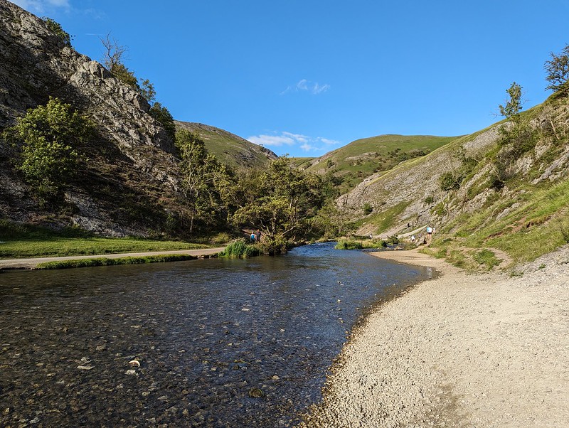
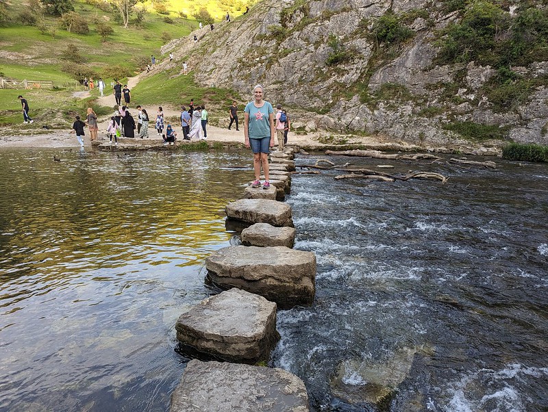
From my childhood visits to the Peak District I think three memories stand out: the show caves around Castleton; steaming, overheated cars pulled over on the roadside up Winnats Pass; and the stepping stones and rock scenery of Dove Dale. Since Dove Dale wasn’t far from where we staying, I was determined to fit in a visit whilst we were there and although it was late in the day, we managed to get into the National Trust car park before the entrance was closed for the evening.
PXL_20230811_165646488
River Dove.

Even though it was early evening, the area around the stepping stones was still very busy, with lots of large family groups enjoying picnics.
We didn’t have to go far though before it became much quieter.

PXL_20230811_171831213
The Twelve Apostles, well some of them.

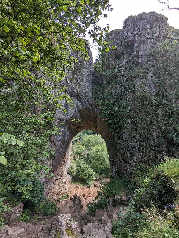
I remember, on those early visits, being awed by the natural rock arch above the path, and that it was close to Reynard’s Cave, but I don’t think we ever climbed up to the arch or the cave.

PXL_20230811_174313010
Natural Arch.

Judging by the heavily eroded path, that’s now a very popular activity. It’s pretty steep, more so than this photo suggests.
PXL_20230811_174707968
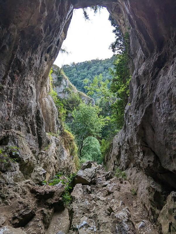
And from above.
PXL_20230811_174948738
And from Reynard’s Cave.
PXL_20230811_174919537
TBH in Reynard’s Cave.

Like Thor’s Cave, there’s archeological evidence showing that Reynard’s Cave was occupied, at least sporadically, during the Neolithic through to the Medieval period.

PXL_20230811_175322517
Another cave.

We found another, smaller cave just around the corner from Reynard’s and then an alternative route back to the river which was a little less steep.

PXL_20230811_175625492
Descending from Reynard’s Cave.

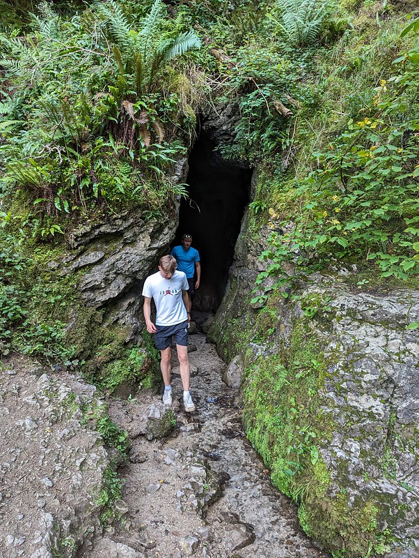
Before heading for home we walked a little further upstream so that the DBs could investigate this rather wet cave which had a stream flowing out of it…
PXL_20230811_181239560
Another cave down by the river.
PXL_20230811_184413205
The famous stepping stones.

And finally, on the path back to the car park, a couple of interesting insect encounters…

PXL_20230811_184823053
Lesser Stag Beetle (I think).
PXL_20230811_185115193
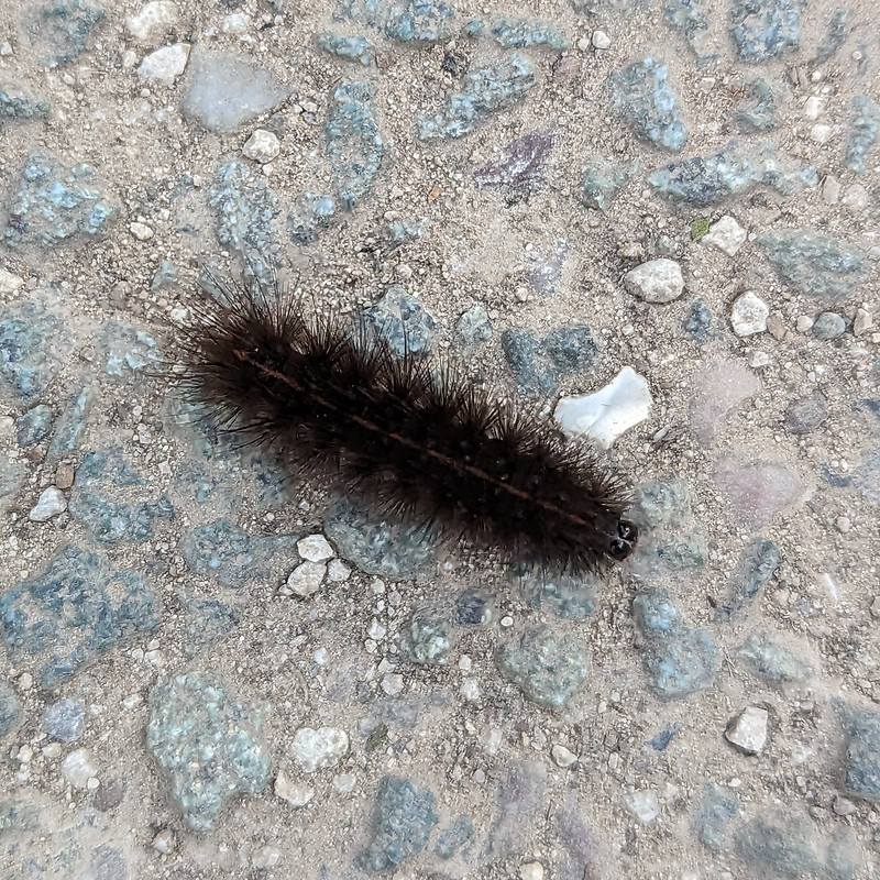
A White Ermine Moth Caterpillar (I think).

This was the last full day of our flying visit to the Midlands. Our trip was short, but packed with interest and I hope it’s not too long before we’re back in the area.

Monsal Trail and Dove Dale

Lazy Sunday Callander Walk

20220313_112750
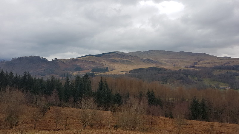
The view east from Bochastle Hill. Is that the Ochils beyond Callander?

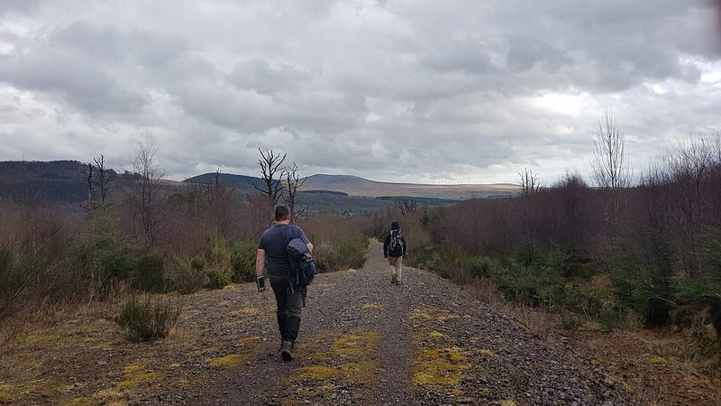
After their exertions of the day before, The Prof and The Tower Captain were both in need of an easier day. Obviously, I was up for another Big Day On The Hills, but felt that they needed my company. Well, okay, I was a bit tired too. I was also put off by a forecast which sounded like the winds would be even fiercer than they had been on the Saturday. I found a circuit on my OS maps app which looked ideal and wasn’t too far out of our way home.

20220313_112755
The high ground north of Callander.

We had a little drizzle, but the wind was quite mild, and later in the day, TC and I were both down to just a t-shirt – pretty mild for March!

20220313_113122
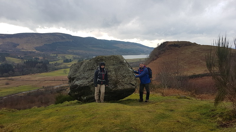
Samson’s Stone, Dunmore Fort, Loch Venachar.

With hindsight, we should have climbed Dunmore Fort which is not only a little higher than Bochastle Hill, but also has some very impressive looking defensive structures on its western side. Next time.

We chatted to one of the marshals who were out on the course for the Callander 10K which would be running later in the day and then walked down a road with a sign declaring it to be ‘a walking and cycling friendly road’. A nice idea, but it’s drivers that need to be friendly, not roads.

20220313_115500
Eas Gobhain.
20220313_122131
Coilhallan Wood.
20220313_121304
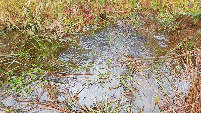
The ditches by the track were full of frogspawn.

As the track through Coilhallan Wood descended towards Callander, there were tantalising views towards Ben Ledi, always partially obscured by trees…

20220313_123135
Ben Ledi.

We climbed Ben Ledi back in 2015, on another day with a ropey forecast, which I enjoyed enormously, despite the forecast proving to be largely correct.

20220313_124328
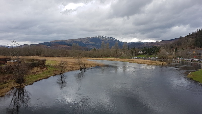
Ben Ledi. Garbh Uisge and Eas Gobhain meet to form the River Teith.

We found a bench on the outskirts of Callander and sat by the river to eat our lunch, and watch runners coming by near the end of their 10K. They were of all shapes and sizes, ages, and speeds. Some were struggling, some clearly very happy. It made me feel quite nostalgic for the days when I used enter races of this kind myself.

20220313_133613
Bochastle Roman Fort.

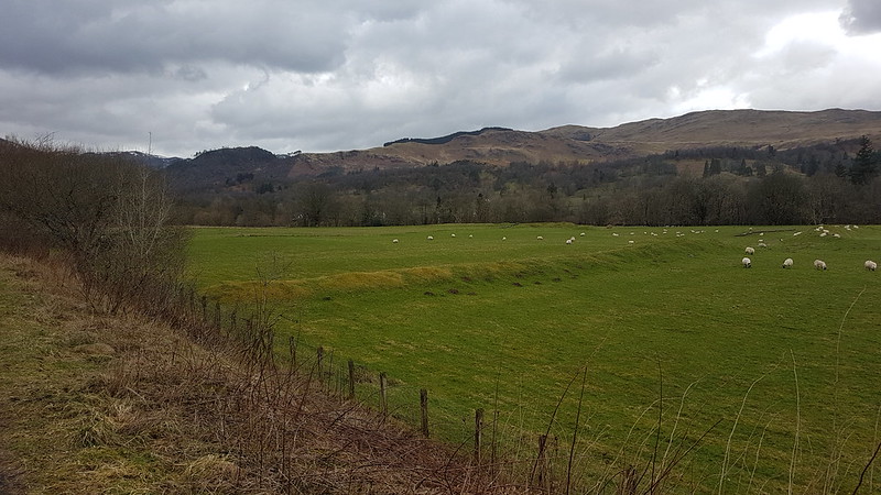
From Callander, we walked back to the car park along the course of the former Callander to Oban railway line. In the field next to the line there are earthworks which betray the site of a Roman Fort. This is even further north than the Antonine Wall which stretched between the Clyde and Forth estuaries. It was built in AD85, which means it predates Hadrian’s Wall.

The next day it was back to work sadly, but at least I had some welcome company during my breakfast…

20220314_074419
Lazy Sunday Callander Walk

Loch Tay, Falls of Dochart, Callander and Oban Railway

“I’m going to the highlands at the weekend.”

“Lovely. You’ll be looking for a nice loch shore walk then.”

I went to see a physiotherapist last week. He tells me that I’ve done some damage to my Achilles. No hill-climbing until the summer. In the meantime, I have to stand on one foot with my eyes closed. Not all of the time, fortunately.

So – whilst most members of our annual Highland get-together were braving what looked to be fairly tempestuous conditions on the Tarmachan ridge, I was heading for a ‘nice loch shore’ path. I had good company in my infirmity: S was struggling with a dodgy knee and appreciated an opportunity to share a gentle stroll (and also, perhaps, the chance to hit the bar a little earlier than the others).

 Toad

Having been dropped off in Killin, we followed an abandoned railway line down to the loch. In the trees beside it we saw tree-creepers, and in the leaf-litter a solitary toad.

Loch Tay 

The morning had begun very wet, and it still looked very black over the hills to the North, but directly overhead there were gaps in the cloud and blue sky beyond. We were even blessed with a little sunshine. We sat for almost an hour over a brew, sharing our passion for accumulating books, putting the world to rights and watching a cormorant, curlews and golden-eye.

River....? 

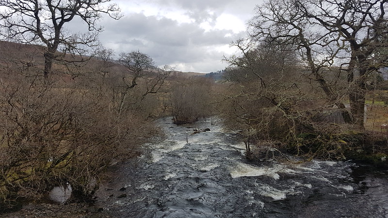
The path back towards Killin, boggy in places, followed the river. Downstream of the confluence of the Dochart and the Lochay I’m not sure whether it retains one of those names or if it has already become the Tay, which it will be when it flows from the far end of the Loch at Kenmore.

 Tree 

With the sun shining and dark skies behind, the bare trees were looking very fine, and we paused awhile to take lots of photos.

Trees

Situated in Killin village, the falls of Dochart are well worth a look. From the road bridge I found that I couldn’t really do justice to the falls, even with my camera’s widest zoom, and wondered how a pancake lens would have coped.

Falls of Dochart

From Killin we walked back to our accommodation at Suie Lodge in Luib, via the old Oban to Callander railway line. The first section has been converted into a footpath, part of the Rob Roy way, but even after that had turned to head into Glen Ogle, the disused railway bed made for easy walking with fine views and gentle slopes and just the odd fence to be straddled.

Last of the blue sky. 

Sadly this was the last of the blue sky for quite some time. Rainbows and heavy showers were now the order of the day. We kept hoping that a long enough gap between showers would allow us to get another brew on the boil, but the chance never materialised.

Killin Junction

Platform at Killin Junction.

Eventually, thwarted by a missing bridge over Luib Burn, we diverted down to the road for the last kilometre or so. As we arrived back the weather began to brighten again, but we opted to sit by the log fire in the hotel bar and steam gently whilst sampling some of the hotel’s selection of bottled real ales. It’s hard work this convalescence malarkey!

Loch Tay, Falls of Dochart, Callander and Oban Railway