Silverdale to Keswick IV: to Keswick

IMG_1335

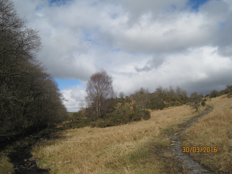
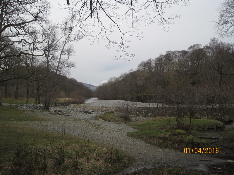
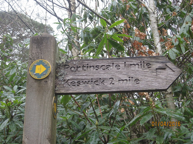
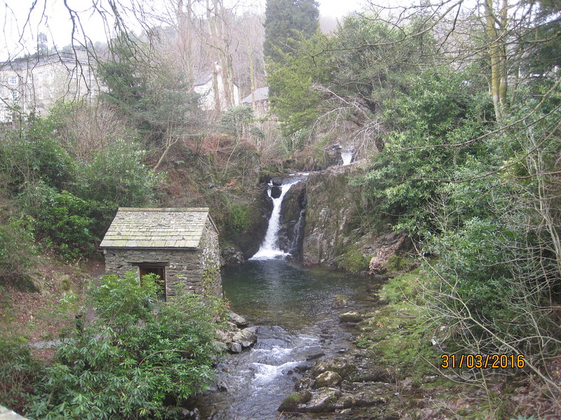
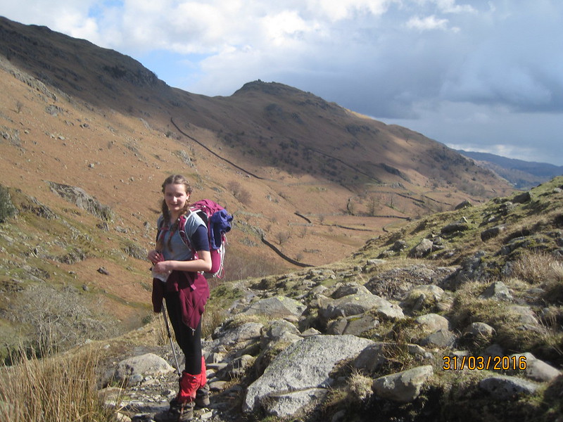
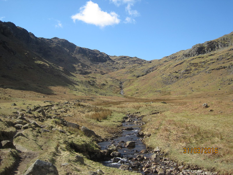
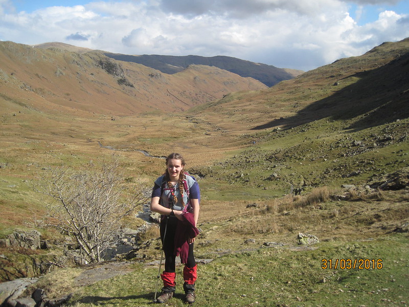
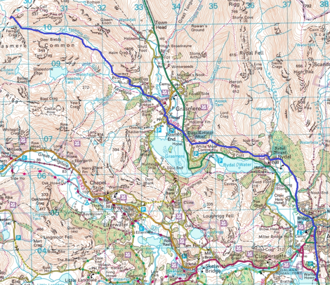
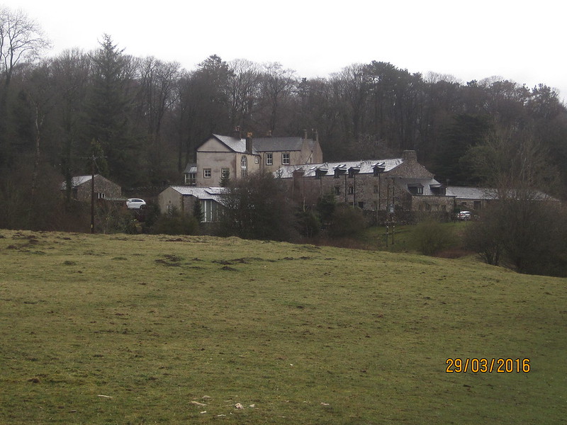
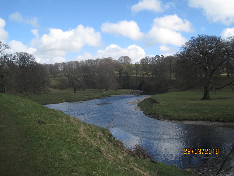
The final leg, and only a half day really. We’d arranged to meet TBH in Keswick at around one, and since we’d been walking rather slowly I wanted to make an early start. We were off by eight, around an hour earlier than we managed on the other mornings. Our route was a no frills affair: follow the River Derwent to Grange and then the western bank of Derwent Water to Keswick.

IMG_1338

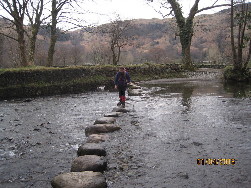
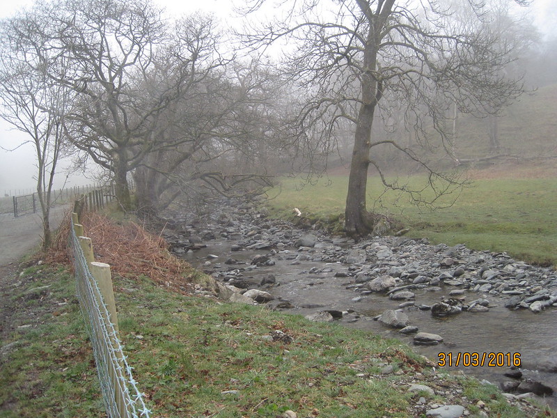
We didn’t need to cross the river, but who can resist stepping-stones?

IMG_1341

Shortly after we left Grange it started to rain and it continued to do so for the rest of the day, although it wasn’t very heavy until we were almost at Keswick. There was a cold wind blowing up the valley too, but at least it was at our backs and since we were in woods for most of the walk we were often sheltered from it.

Where we stopped outside Grange to don our waterproofs, A noticed a hare loping across the field ahead.

IMG_1343

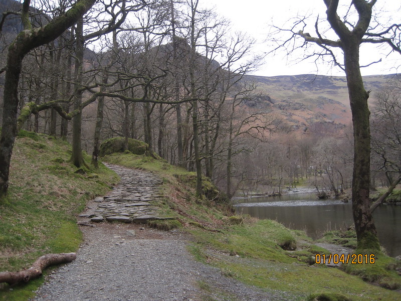
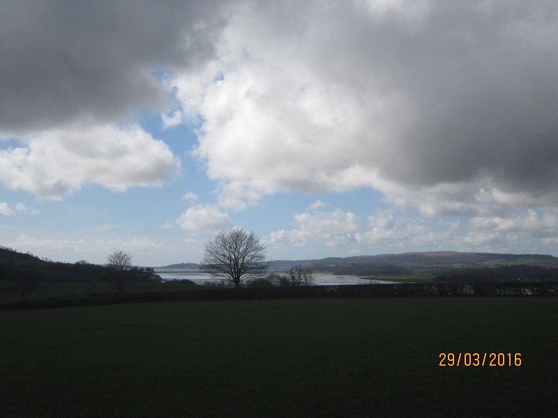
I’ve walked this route a couple of times before and it’s very pleasant. It’s a shame we didn’t have better weather for it, but on balance we’d done pretty well over the four days.

IMG_1345

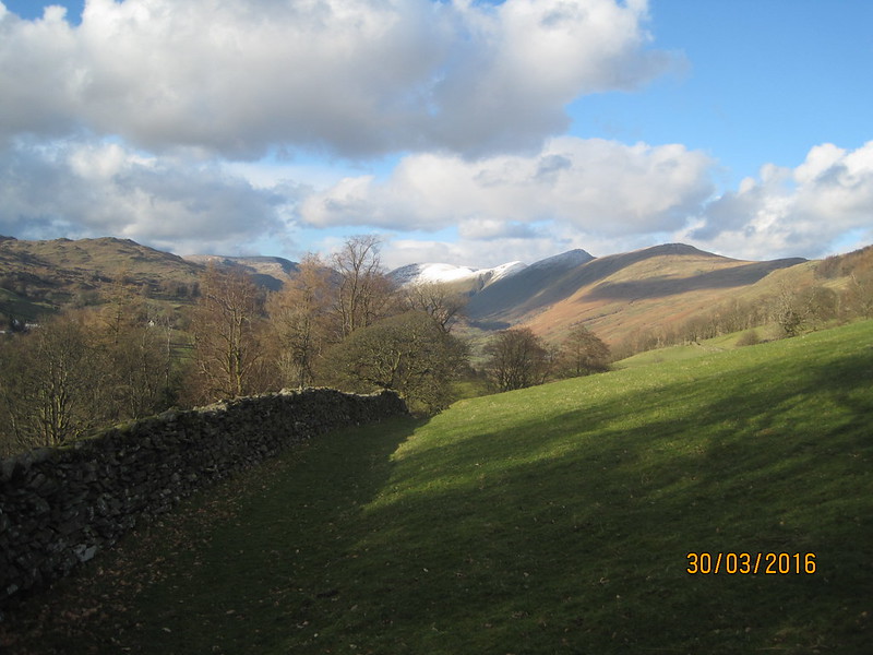
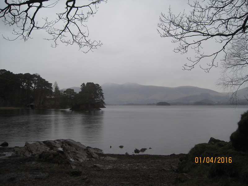
Across the lake Skiddaw seemed a lot closer than when we’d first seen it the day before.

IMG_1346

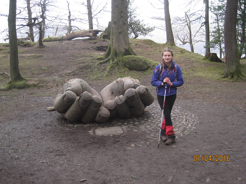
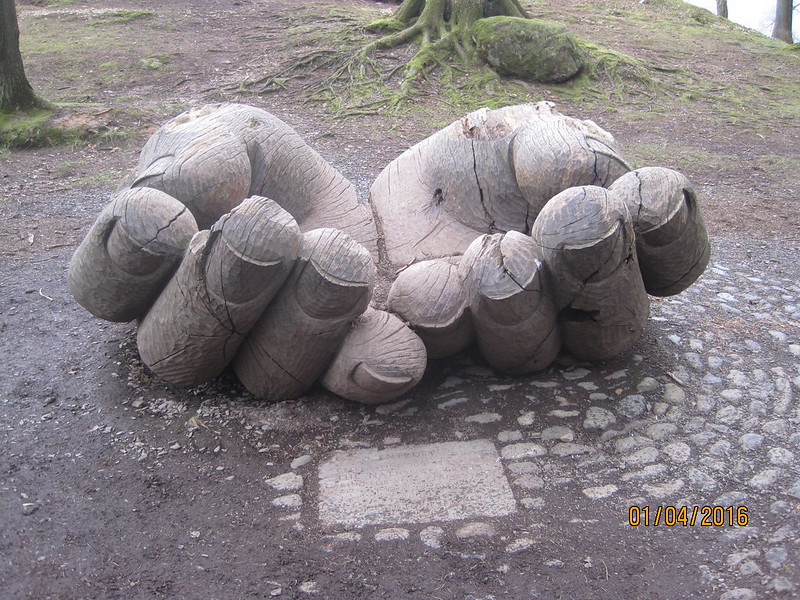
We were both very taken by this large sculpture…

IMG_1348

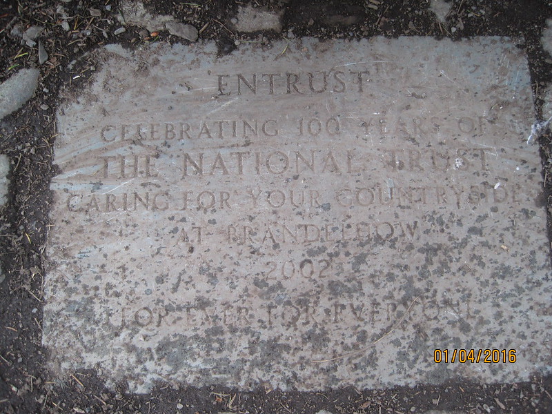
…commissioned to commemorate the centenary of the National Trust.

IMG_1347

IMG_1349

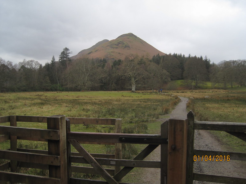
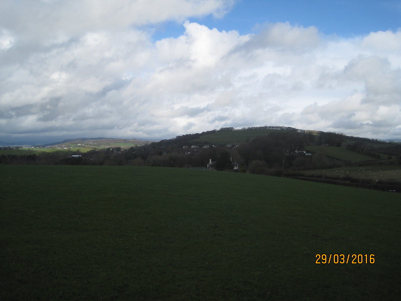
Looking back at Catbells.

IMG_1350

Getting close.

IMG_1351

Closer still.

IMG_1352

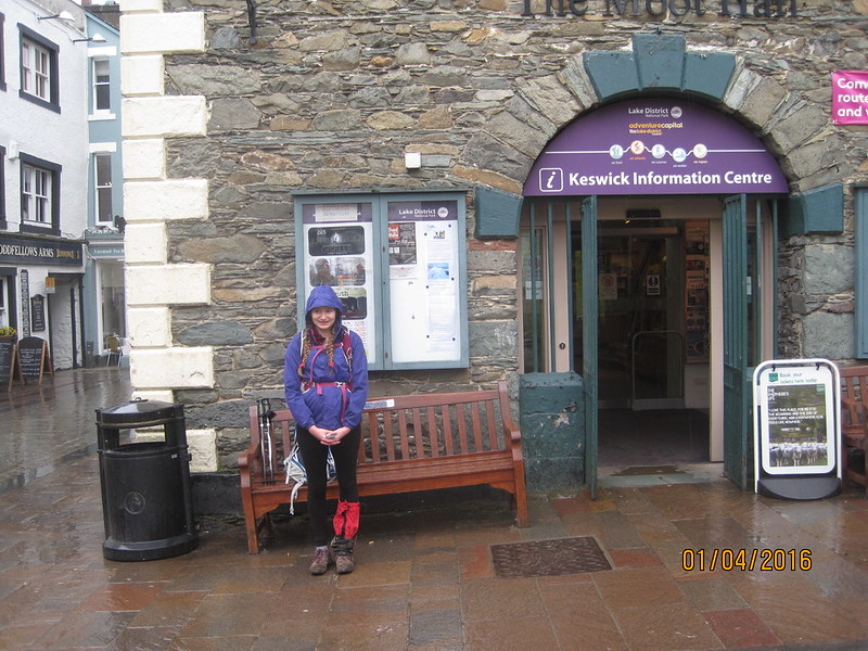
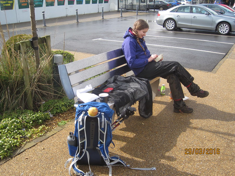
Finished and waiting for TBH.

In Keswick, we once again bumped into friends from the village. We told them we walked from home.

“Have you genuinely?”

I think they thought we were playing an April Fool. Nothing foolish about this enterprise however – I’m hard-pressed to think of a walk I’ve enjoyed more. Now I need to start plotting our next adventure.

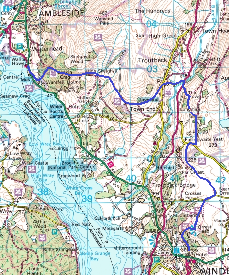
Maps:

Longthwaite Hostel to Derwentwater

Derwentwater to Keswick

Silverdale to Keswick IV: to Keswick

Silverdale To Keswick III: to Borrowdale.

IMG_1279

The day of our biggest climb: over Greenup Edge to Borrowdale, and also the day which the long range forecast had predicted would yield the best weather. An early start would have been good then: breakfast at the earliest opportunity was the plan, kitchen starts serving at seven, we got there a minute or two after to find a gazillion students occupying every seat in the dining room and forming a queue snaking all around the room. When we finally made it to the front of said queue we had to wait for baked beans. Wait for baked beans? How complicated can it be to open a tin and warm up some beans?

It started misty. We needed to walk through Ambleside, which was handy anyway because it presented us with an opportunity to stop off at the Chemist’s to buy a tubular support bandage for A’s ankle. I also inquired about the best treatment for blisters and was offered Compeed. As it happens, I had Compeed in my first-aid kit, but have always assumed it was for use to prevent blisters or to cover a burst blister. I tried it on my still full-on blisters, and I have to report that it worked superbly: no more problems with my toes.

Incidentally, I first asked for moleskin: magic stuff which Scholl used to supply. Apparently they’ve discontinued it. I don’t understand, and neither did the Chemist in Ambleside who said that she frequently has people coming into the shop to ask for it. It’s crazy, like Dyson abandoning vacuum cleaners, or Lea and Perrins deciding not to deal in Worcester Sauce anymore. It’s senseless, like Timothy Taylors giving up on Landlord, or the UK relinquishing it’s steel industry!

Anyway, thus patched up, we walked through the grounds of Rydal Hall to the Hall itself. Throughout the morning A made several resolutions to return to have a more thorough look at the placees we passed. She wanted to have a better look at The Grot…

IMG_1280

…and at the formal gardens of the hall and the many sculptures on display around the grounds. (Pictures of both from previous visits here and here.)

We didn’t have sufficient time on this occasion, although we did make time to stop at the Old Schoolroom cafe: pot of tea for me, more cake for A.

Later, as we walked the old coffin route between Ambleside and Grasmere, which clings to the hillside above Rydal Water, we would pass both Rydal Mount and Dove Cottage, and A thought they would both be worthy of a return visit.

IMG_1282

It’s a lovely path this one, and one that I’ve walked many times. (A post about one of those times here.) The low cloud was perhaps a little disappointing, but it was already possible to see that the cloud overhead was beginning to break up and that the sun was trying desperately to shine through. All along this section we repeatedly heard the strange ‘yaffle’ of green woodpeckers, it must be a prime spot for them.

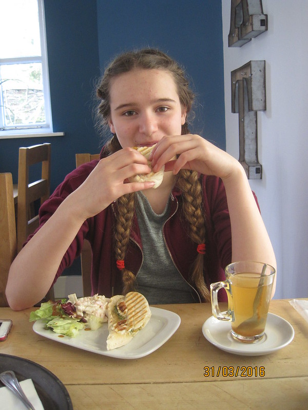
A had our early lunch in Grasmere all planned out: a meal in the Grasmere Tea Gardens where she knew that they had both a goat’s cheese panini and a hot apple and cinnamon drink which she liked. She made a good choice of venue – I had beef and tomato chilli soup, which was my favourite meal of the trip.

IMG_1285

Also:

“We are going to the gingerbread shop aren’t we? It’s part of the Grasmere experience you know!”

So into her bag went six slices of gingerbread to keep company with the trail mix and biscuits she had brought from home and the chocolate squares she’d picked up in Booths the day before. Perhaps that’s why her ankles were playing up – the two stone of sugary snacks in her rucksack?

Whilst we were searching from Grasmere’s Chemist, intending to buy A a more supportive support bandage, we bumped into two friends from home sunning themselves at tables outside another one of Grasmere’s many cafes.

The cloud had lifted – perfect timing for our long climb.

IMG_1288

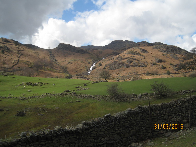
Sourmilk Gill and Tarn Crag.

It was as we started to climb, I think, that A realised the tactical error she had made, and set about trying to lighten her load by consuming huge quantities of cake.

“This looks like a nice place to stop for a drink.”

IMG_1290

And then, ten minutes later:

“This looks like a nice place to stop for a drink.”

This would never do! We had to agree a compromise – half an hour of walking, followed by five (or ten) minutes of sitting, taking on fluids and trying to make inroads into a mountain of cake.

IMG_1292

It’s a long climb up Far Easedale, but the sun shone and the views kept changing both ahead and behind. And we were never more than half-an-hour away from another rest stop.

IMG_1294

Looking back to Helm Crag.

IMG_1296

The transition to higher ground was marked by a change of avifauna: wheatears and meadow pipits whirling back and forth in a flurry of spring activity.

IMG_1300

IMG_1301

As we climbed we kept leap-frogging a party of five young lads (about A’s age I would guess) who were out on their own. Quite an adventure for them!

IMG_1303

It’s quite an odd ‘pass’ this because you reach what feels like the top, only to find that you have to descend into the boggy hollow of Brownrigg Moss…

IMG_1304

…before climbing again to Greenup Edge itself.

IMG_1305

Across some of the worst of the bog, assessing the wet sock situation.

IMG_1307

As we heaved ourselves up the last part of the climb, Helvellyn and Fairfield hove into view.

IMG_1308

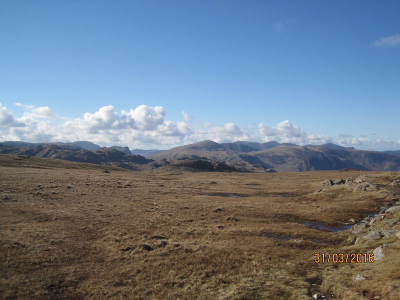
And then, we were on Greenup Edge and a whole new view appeared…

IMG_1311

Oddly, a whisper of rain was on the wind, but fortunately, although the few drops seemed to presage something worse, proper rain never materialised.

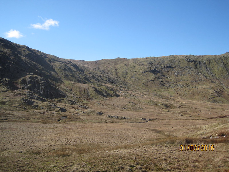
Greenup Edge is one of the least ‘edge’ like places you could hope to find yourself, and once again we found we had to skirt the deeper, soggier parts of the bog.

Ahead we could pick out Skiddaw…

IMG_1314

…which, since it is beyond Keswick, our final destination, was a significant landmark for us.

IMG_1316

Drumlins?

IMG_1318

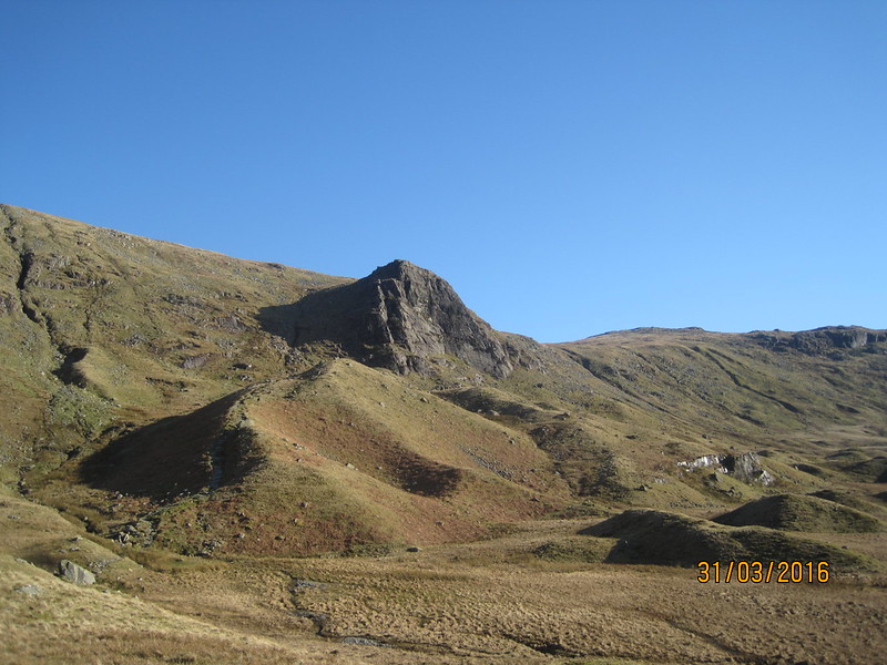
The path drops down beside Lining Crag, which doesn’t seem very significant as you descend, but is impressive when seen from below.

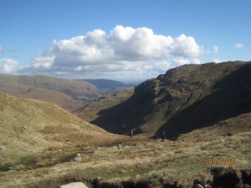
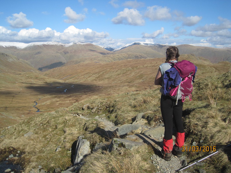
After our long ascent, we now faced an almost equally long descent down into Borrowdale.

IMG_1320

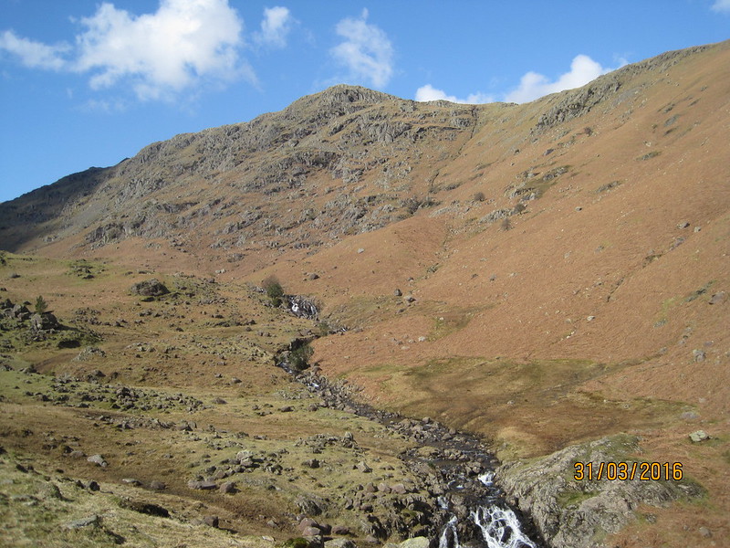
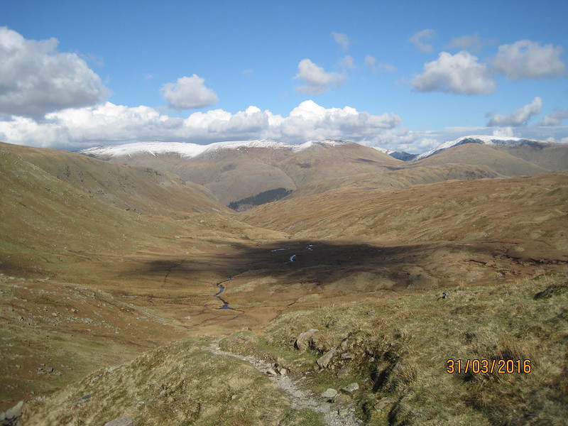
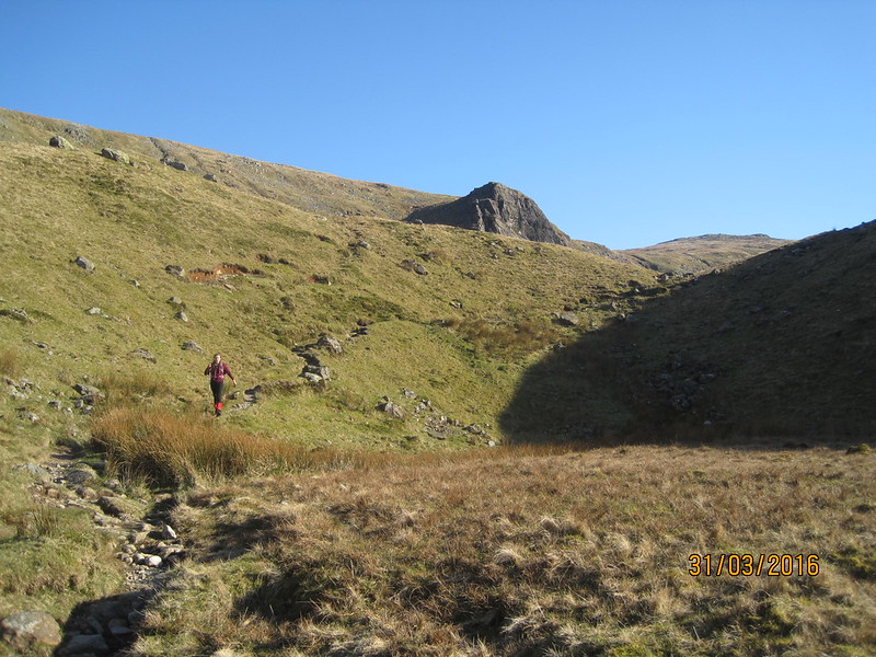
Shadows were lengthening and we were in and out of the sun as we came down the valley. Like Far Easedale Gill, Greenup Gill had lots of waterfalls and small pools which would be worth exploring in the summer (if you enjoy a spot of wild-swimming).

IMG_1322

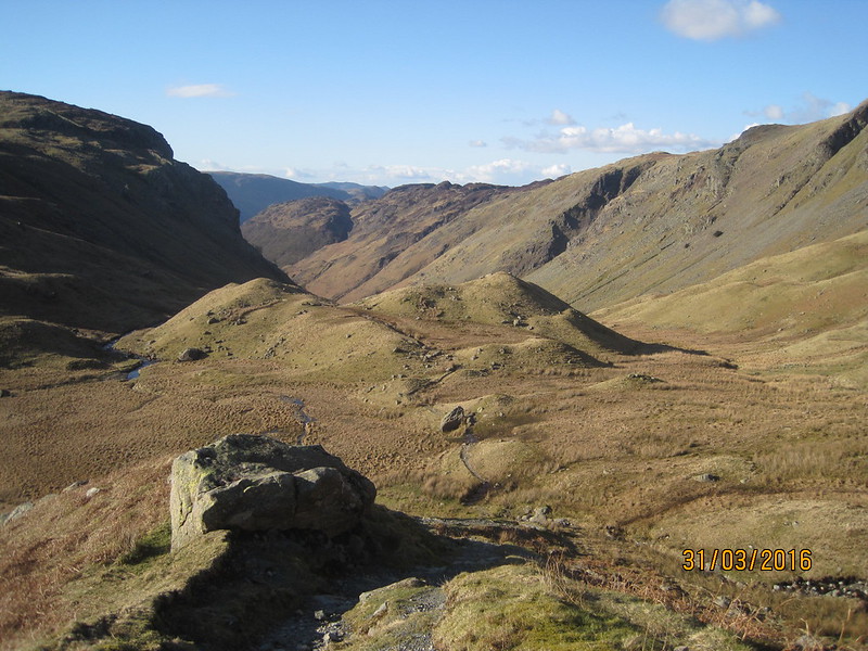
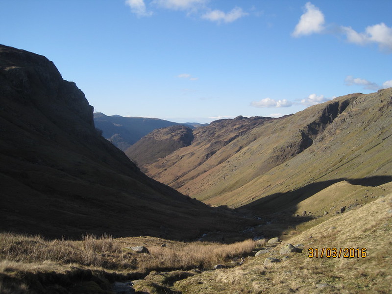
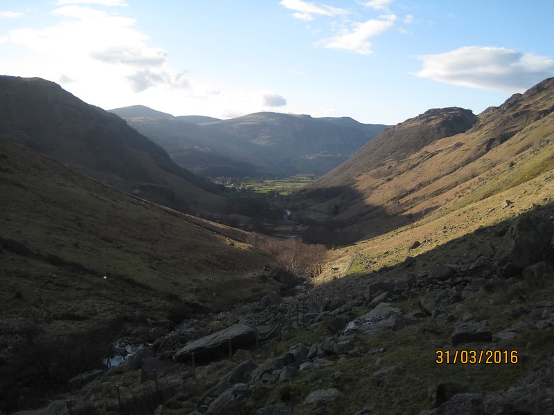
Eventually, as we rounded a bend in the valley, the plush green of Borrowdale itself appeared ahead…

IMG_1323

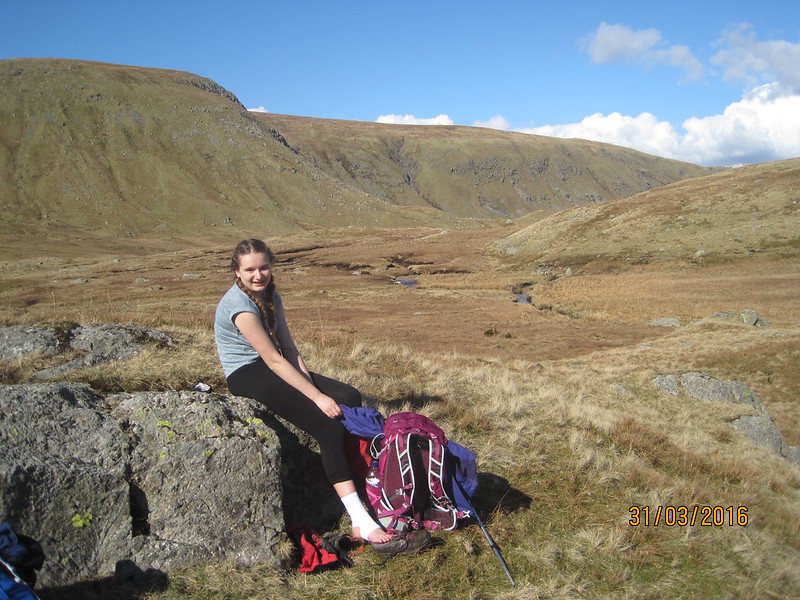
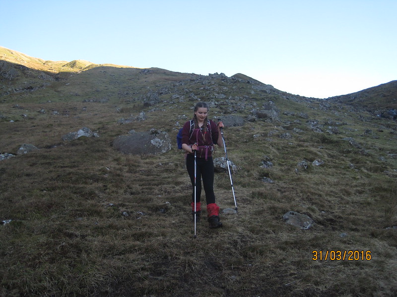
We’d long been sharing ‘my’ new poles, now, with both of her ankles bothering her, A borrowed both of them.

IMG_1324

Throughout our walk we saw numerous signs of the destruction wrought by this winter’s floods, saddest of all the many empty homes waiting for renovation which we passed. The new fence, bordering the path which can be seen in the photograph below…

IMG_1327

…had been completely wiped out for long stretches. In one spot in particular, there was a small trickle of a stream, a tributary to Greenup Gill, which had yards of bare soil either side of it, where presumably the top-soil had been washed away. Where that tiny stream met the fence, the fence had been buried beneath huge boulders.

IMG_1329

Eagle Crag (I think) catching the last of the sun.

Once again we were cutting it fine at the hostel. We arrived at twenty past seven to find that the kitchen would be closing in ten minutes. However, it was agreed that we could place our order immediately and return at a quarter to eight. The meal was excellent, we both had samosas to start and then Cumberland sausage and mash. The beer was very palatable too. And still time for 121-up at cribbage and for A to get her own back by beating me at knock-out whist.

IMG_1333

According to A’s ipod the day’s walk worked out at about 14 miles, meaning we’d come 45 in total from home. Just 8 more to go in the morning to meet TBH in Keswick.

Maps:

Ambleside to Head of Easedale

Head of Easedale to Longthwaite Hostel

Silverdale To Keswick III: to Borrowdale.

Silverdale to Keswick II: To Ambleside

IMG_1226

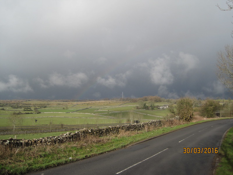
Contrary to the impression perhaps conveyed above, Wednesday morning arrived bright and sunny and we were soon engaged in the long climb out of Kendal. There were several paths we could have taken, but we chose the Underbarrow road because it has the advantage of a bridge over the busy A591 dual carriageway. Soon after we’d left the Auld Grey Town, dark skies and a rainbow ahead heralded the imminent arrival of a short, sharp shower. It didn’t last long, and by the time we were turning off onto Gamblesmire Lane blue sky and sunshine were reasserting themselves.
IMG_1227

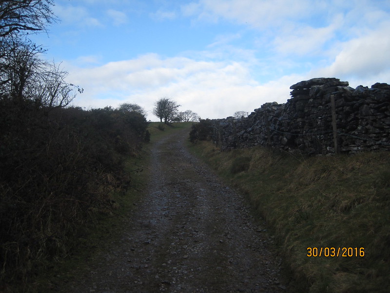
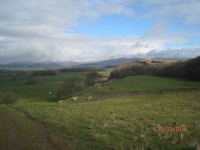
The Lane passes through a gap in Cunswick Scar and from the high ground there we had our first view of snow-capped Lakeland Fells.
IMG_1231

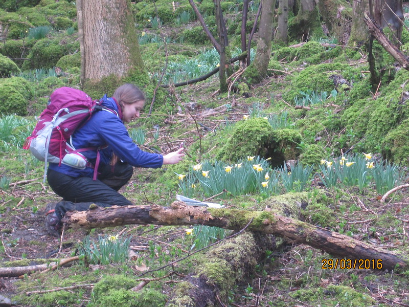
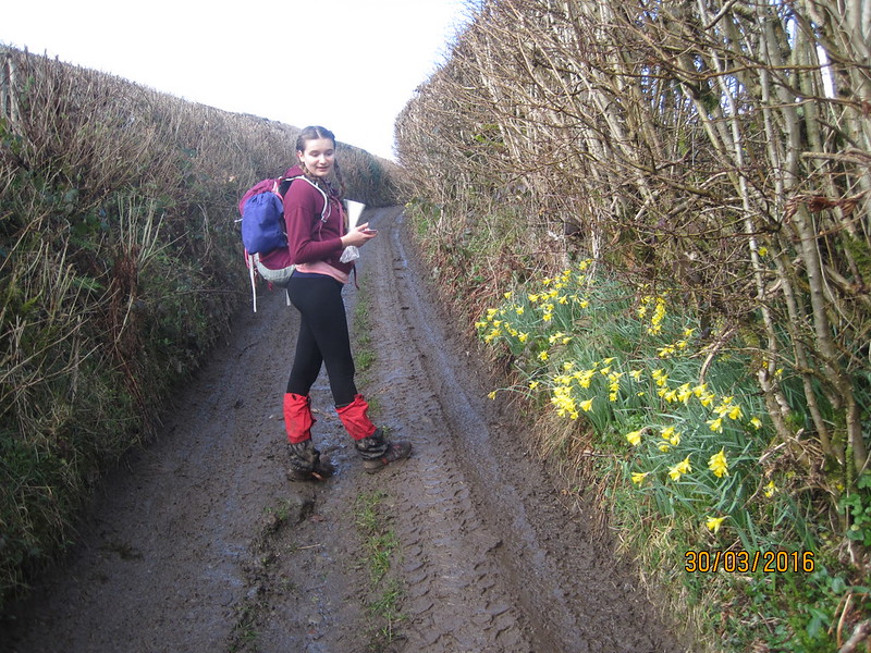
Beyond Cunswick Hall the Lane passes through a copse and then briefly becomes a holloway. The daffodils impressed A almost as much as the depth and consistency of the mud on the track.

“Hang on, I want to take a photo of the mud”

Maybe she wanted to be able to impress her friends with how much she had suffered?
IMG_1234

I know that I’ve probably ranted about this before, but this area is hugely under-rated for walking. Were it anywhere but in the shadow of the higher Lakeland hills, I’m sure that it would also be a tourist trap, and would be much better appreciated. The whole day was delightful, but until we were close to Windermere we saw no other walkers at all. The route, should you want to follow it, continues past Nook Farm, skirts the Northern edge of Underbarrow (close to the church) – where we wasted a fair bit of time due to some navigational muppetry, entirely my fault, I should add, partly due to a stile being well hidden by a dense thicket of shrubs (that’s my excuse anyway) – from there we passed The Broom, Mountjoy Wood, Low Fold, Brow Head and Mildam, Spigot House, followed the edge of Gilpinpark Plantation and then joined the Dales Way into Windermere.

But I’ve got ahead of myself. Rain seemed likely as we passed behind Nook Farm, but the threat was short-lived and by the time we reached The Broom…
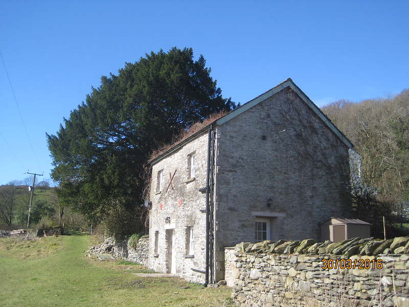
IMG_1237

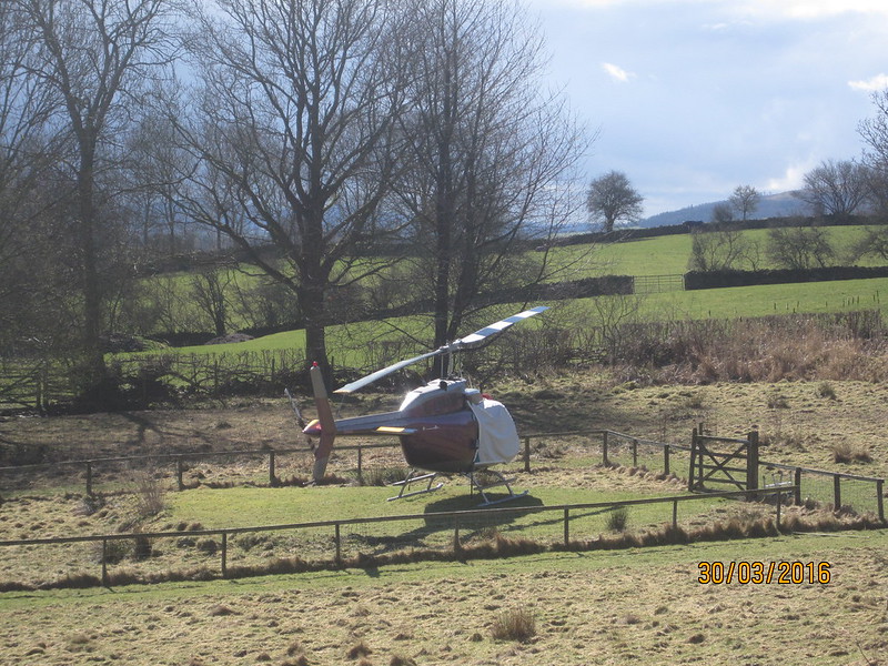
…where there was a helicopter in the garden…
IMG_1236

…the sun was actually beginning to provide some tangible warmth.
IMG_1239

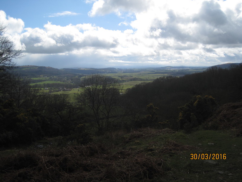
As we climbed beside Mountjoy Wood we could see back to Scout Scar, but also to the Kent Estuary and beyond. A was impressed:

“Is that Arnside Knott? Blimey, we’ve walked a really long way!”.

We stopped briefly for A to hurriedly consume some lunch, the rush being because we could see the next shower approaching. When it came, it was hail and briefly quite fierce.
IMG_1240

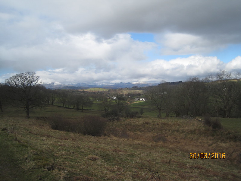
Our route seemed to be running against the grain of the land; it was definitely a day of up-hill and down-dale. Still, the mountains were growing ever closer and kept luring us on.
IMG_1243

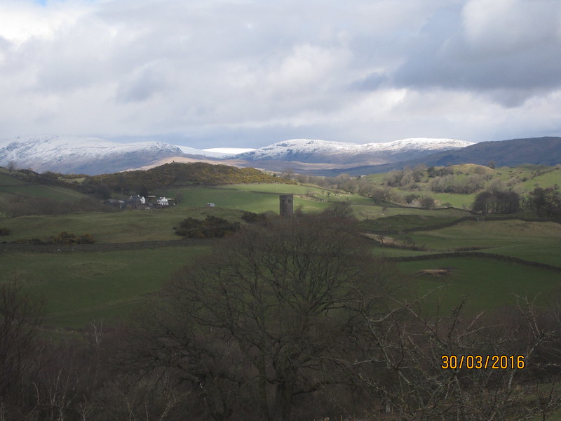
The tower is all that remains of the original St. Catherine’s Church which served Crook Hall from around 1620.

On an island in a small fishery pond near Milldam, a heron stood so still and so close that I eventually broke the spell by wondering aloud whether it was a model sited to discourage actual herons from raiding fish stocks. Whereupon the ‘model’ slowly spread its wings and departed.
IMG_1247

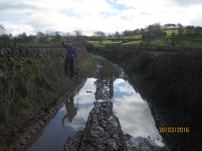
Before we’d departed on our walk TBH had presented me with an early Birthday present of a new pair of trekking poles; A was discovering how useful they can be when balancing on the slippery verges of very wet lanes.
IMG_1248

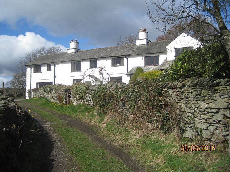
Spigot House.

IMG_1250

The path beside Gilpinpark Plantation took us onto uncultivated ground. As if to emphasis the wildness of the spot, a plaintive mewing overhead alerted us to three circling buzzards, and a jay ricocheted off between the trees.
IMG_1252

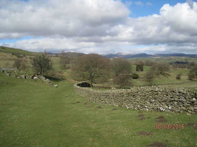
Between Outrun Nook and Hag End we found a bench where we could soak up some sun and rehydrate. Without discussing it we seemed to have mutually decided that a path-side bench was too good an opportunity to pass up. It was whilst we were there that we met the first fellow walkers of the day: a couple passed with a cheery greeting, then a Staffie introduced itself by trying to sit in my lap. It’s owner (who had a chocolate Labrador with him too) explained that the Staffie was newly acquired , and then asked for directions to Staveley. Then he asked about our walk. He seemed amazed that we were walking from Kendale to Ambleside.

“That’s a long walk. I’ve walked from Windermere to Kendal before and that was enough for me.”

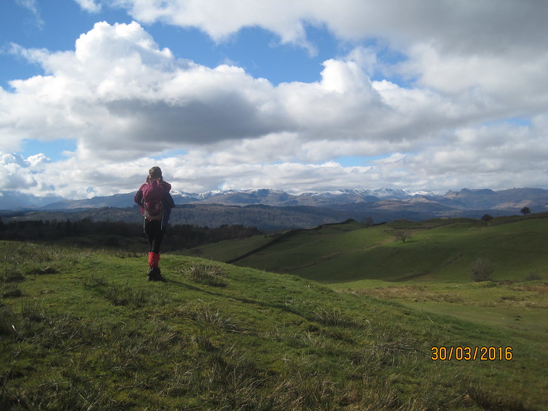
I was beginning to think he was right: it was a long way. Just beyond Hag End we crested a rise…
IMG_1258

…to a magnificent view, although surprisingly we couldn’t see the lake at all.

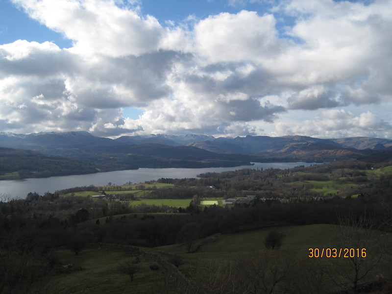
We dropped down into Windermere and then proceeded to Booth’s, which in this case has a cafe which supplied some late lunch for me, and a second lunch for A. Booth’s again? Well yes: not only are they a very fine grocer’s, but also, with my Booth’s card, I can get a free cup of tea every day. Which saving was more than offset by A’s insistence on filling her rucksack with cake. I think she was stocking up in case we were benighted. Not an unreasonable concern, since it was now gone four o’clock.
IMG_1260

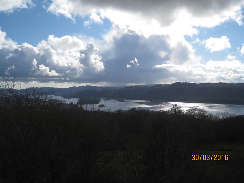
Booth’s is just about the perfect spot from which to launch an assault on Orrest Head. A was chuffed that we smashed the time for the ascent predicted on a sign by the road at the bottom. It suggested 20 minutes. We managed it in a mere 19. The top was relatively busy compared with what had come before, but it’s easy to see why it’s popular – it has a high view to effort ratio.
IMG_1261

The next section of the walk was completely new to me (excepting the very last part): to Troutbeck via Causeway Farm, Near Orrest, Far Orrest, below Allen Knott, up Longmire Road, but turning downhill at the first opportunity, past Longmire itself (a charming farmhouse deserving of a more attractive name) and then crossing Trout Beck just downstream of the Church.

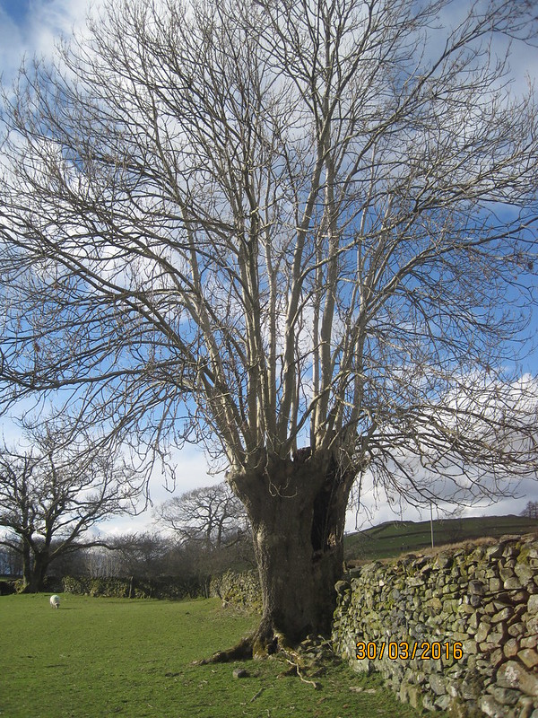
Between Near Orrest and Far Orrest we passed this, I would guess, very ancient ash, which looks like it has been pollarded many, many times. The huge trunk was hollow and we both had the same thought: that the Dangerous Brothers would love to climb inside it (and would probably then get stuck).
IMG_1263

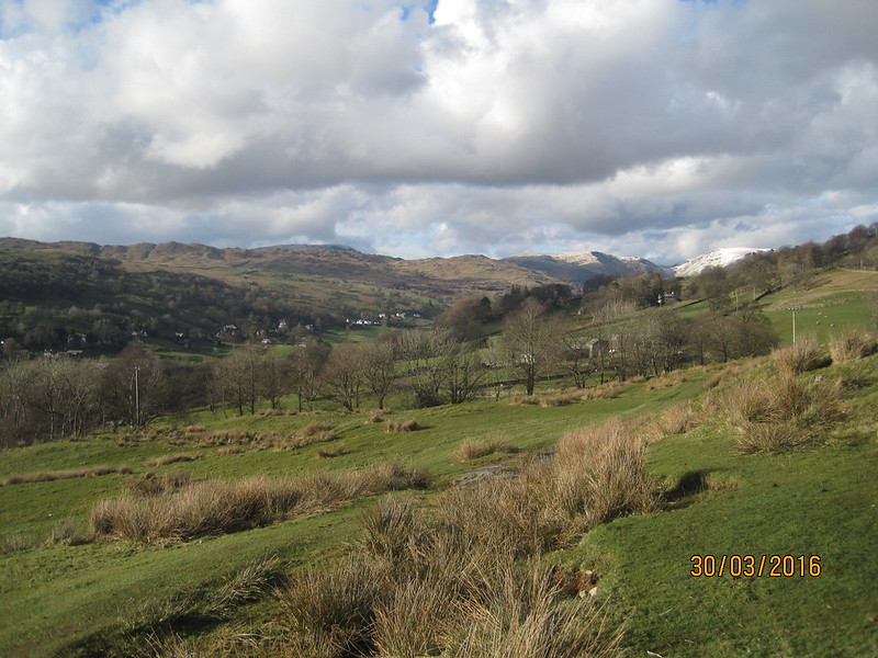
As we rounded Allen Knott, views of the snowy mountains at the head of the valley opened up.
IMG_1264

IMG_1266

Thornthwaite Crag, Froswick, Ill Bell, Yoke.

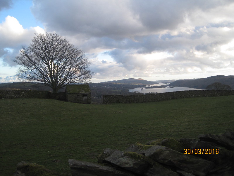
We had one final climb to complete: up through Troutbeck village and along Robin Lane to High Skelghyll, before descending through the woods around Jenkin Crag to Ambleside.
IMG_1269

It’s a lovely route with great views which I’ve walked many times with TBH.
IMG_1272

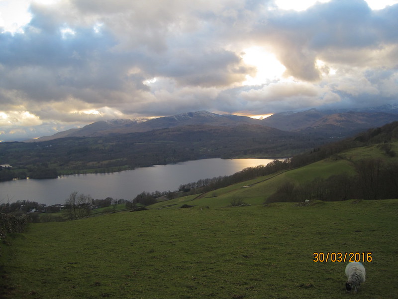
Last time I was on this path the sun was setting too.
IMG_1275

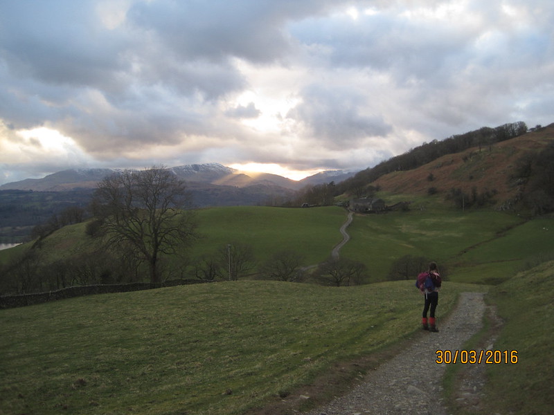
Crepuscular rays and High Skelghyll.

I’d been getting a bit twitchy about the lateness of our arrival at the hostel, so almost the first question I asked when we got there was:

“What time do you stop serving food?”

“Quarter to eight”

I must have looked stricken. It was quarter to eight.

“Sorry, I mean quarter to nine.”

Phew. We had time to dump our gear in our room (again on the third floor), grab a shower, and even get a wash on.
IMG_1277

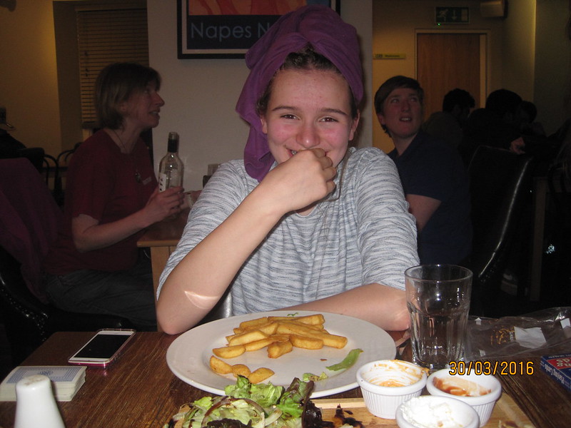
Our beautiful daughter. This is the last pleasant photo in the post. You might want to avoid the final picture if you are at all squeamish.

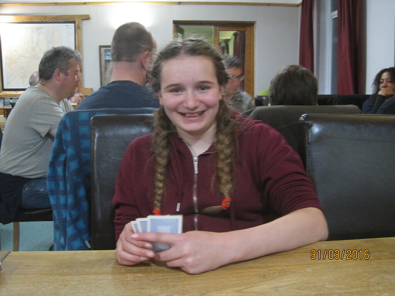
A really enjoyed her meal, I think it was one of the highlights of the trip for her. She certainly tucked into the shared starter we’d ordered with great gusto. And she’s still smiling even though I was attempting to introduce her to the intricacies of Cribbage.

You’ll see she had her ipod with her. She was using it to take photos, also to contact home and grandparents (all of the hostels had free wifi, although it didn’t always work exceptionally well). In addition, the tablet provided a record of her step-count and distance covered. It was in kilometres obviously, but I converted it into old money; even A seemed to appreciate the figures more that way. Home to Kendal had been 14 miles. Kendal to Ambleside 17. She’d earned her hummus and chips, not to mention the burger, the chicken goujons, the flat bread, but perhaps not quite such a big share of the halloumi as she snaffled (not that I’m bitter).

Talking of bitter – the bar/restaurant was very busy. Crammed to the gunnels with a group from a University (Hull if the sweat-shirts were anything to go by, although the only University top I’ve ever worn was from Berlin – a cousin studied there – I was wearing it once, a very long time ago, whilst propped up in a hospital bed and a very snooty surgeon said to me: “I don’t suppose you actually went to the University of Berlin?” In a tone which implied he didn’t think it likely that I knew what a university was. He did have a point though – twenty-five years later and I’ve still not even been to Berlin.) So, as I say, the bar was very busy, unsurprisingly so: the beer was very quaffable. I had to sample a couple whilst I waited for the tumble drier to finish with our laundry. Whilst I was waiting, and drinking, I got talking at the bar to a lady who loved the idea of the walk we were doing, but couldn’t fathom how she could ever gather the courage or the knowledge to cope with the navigation.

“How did you learn to map-read?”

How did I learn? I don’t really remember having to learn exactly, but I suppose I did a lot of walking with my Mum and Dad and they must have taught me during those walks. I did a lot of cycling in my teens too, both on my own and with a local CTC group and that involved a lot of map-reading too. Certainly, by the time I was 15 my parents were confident enough, or brave enough, to let me wander up onto Kinder Scout from Hayfield on my own, and I made it to the Downfall and back again in one piece, so I must have picked something up before then. Hopefully, I’m passing on that knowledge and confidence in turn.

We’d had a great day, but there were a couple of flies in our ointment: A’s ankle was bothering her on steep ground. I, meanwhile, had noticed a bit of rubbing between the toes of my left foot the day before. I should have done something about it, obviously, but didn’t. The rubbing had continued and I noticed a bit of discomfort, nothing too painful. I was quite shocked to discover then…
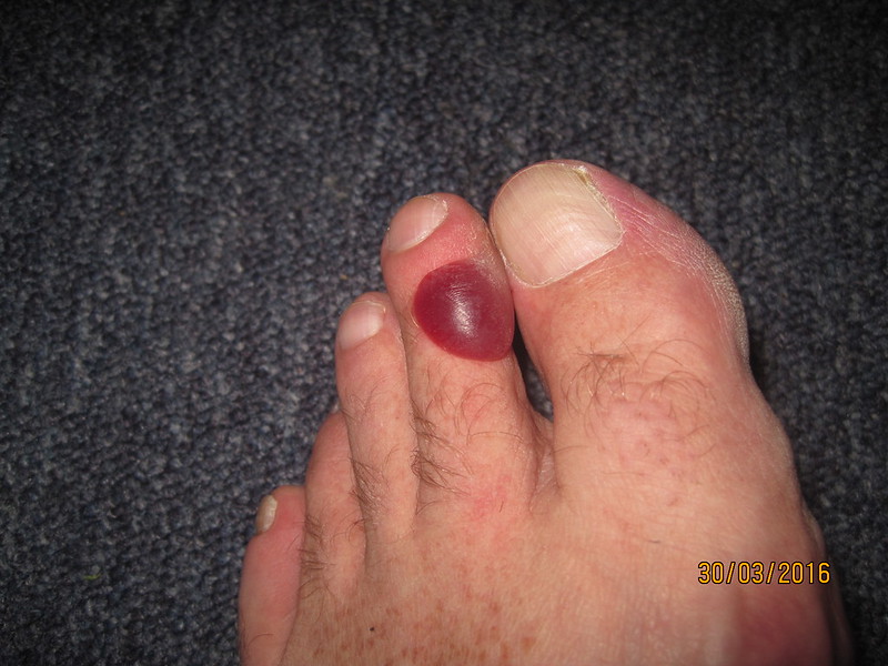
IMG_1276

..blisters on both toes. The friction was entirely between the toes, but one of the blisters had spread out across the toe. Curiously, it wasn’t anything like as painful as it looks. But it was, at the least, a slight worry for the following day…

Maps:
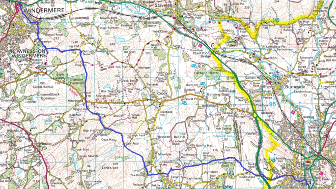
Kendal to Windermere

Windermere to Ambleside

Silverdale to Keswick II: To Ambleside

Silverdale to Keswick I: To Kendal
IMG_1152

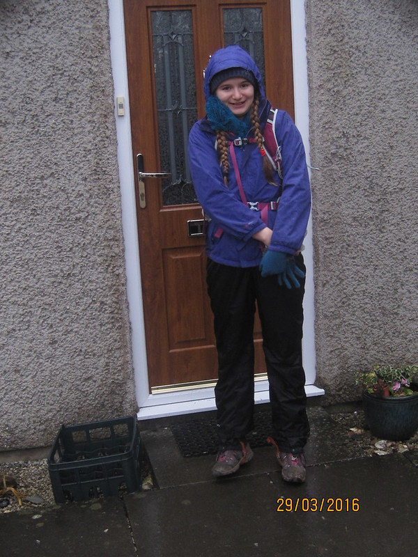
With Lancashire playing silly b*****s with the Easter Holidays this year, the boys have a completely different fortnight off to the rest of the family. A and I decided to make a virtue of necessity and head off on our own little holiday jaunt: a walk from Silverdale to Keswick. Here she is setting off, on the Tuesday after Easter Monday, fully garbed in waterproofs since the sky was a monotone grey and a light rain was falling.

IMG_1153

We walked past Challan Hall…

IMG_1156

…and Hawes Water, diverting ever so slightly to check whether the toothwort which appears here every year was flowering…

IMG_1158

It was…

IMG_1159

From there we continued alongside Silverdale Moss…

IMG_1162

I can’t recall having seen it so flooded before, though I suspect that had we visited midwinter, the meres would have been even more extensive. A couple of spots of brilliant white in amongst the reeds were Little Egrets, whilst a Heron flapped away in that laconic, slow-motion fashion that they have.

IMG_1163

The bridge over Leighton Beck. A did all of the map-reading on this first day and some of it thereafter.

We passed Hazelslack Farm with it’s Peel Tower and then began the ascent of Beetham Fell. This old coffin route finds a fault in a line of crags…

IMG_1164

…which leads to a bit of a viewpoint…

IMG_1165

…and hey-presto, the clouds have broken, there’s some blue sky at last, it’s stopped raining and there’s an odd moment of sunshine.

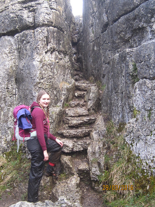
The Fairy Steps…

IMG_1166

…brought us to the top of the Fell and an improved vista…

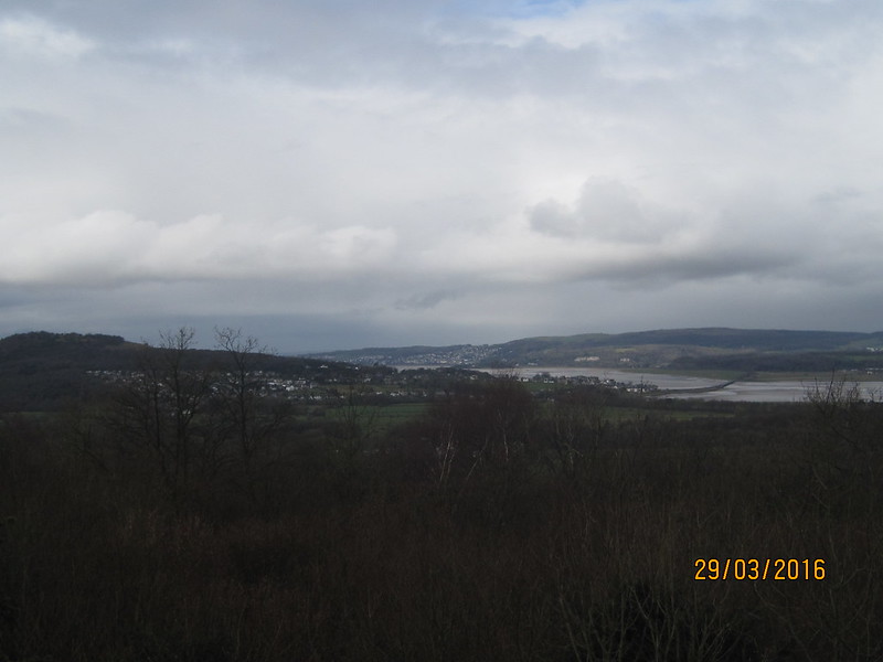
IMG_1169

…of Arnside Knott, the Kent Estuary and Hampsfell.

Dropping down the far side of the hill we encountered our first clumps of daffodils, which would become something of a feature of the walk.

IMG_1173

Another feature of the walk were the frequent stops for both of us to take photos.

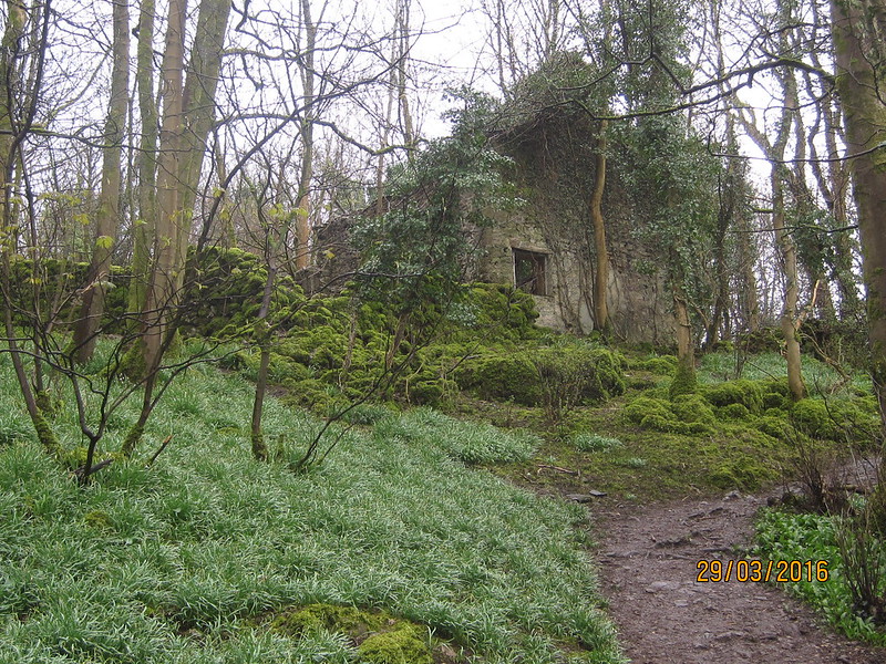
Close to the boundary of the woods there’s a ruined building with a huge patch of snowdrops below it. Sadly, they’d finished flowering, but I’ve made a mental note to come back and take another look next February.

IMG_1174

By the time we’d reached Beetham, it was spitting with rain again.

IMG_1175

Beetham.

IMG_1176

St. Michael and All Angels.

IMG_1178

In addition to stopping to take lots of photographs of flowers, birds, butterflies, leaves etc whilst I’m walking, I also like to take a proper look around any interesting places I pass. There was a tension here though between exploring thoroughly and reaching our night’s lodgings, so we didn’t look into the church. It’s well worth a look however. Photos of the interior here, from a previous visit.

The optimism about the weather which I’d felt on Beetham Fell had been a little premature it seemed, and as we walked through Dallam Deer Park the heavens really opened.

IMG_1183

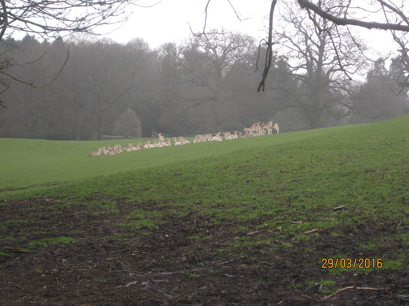
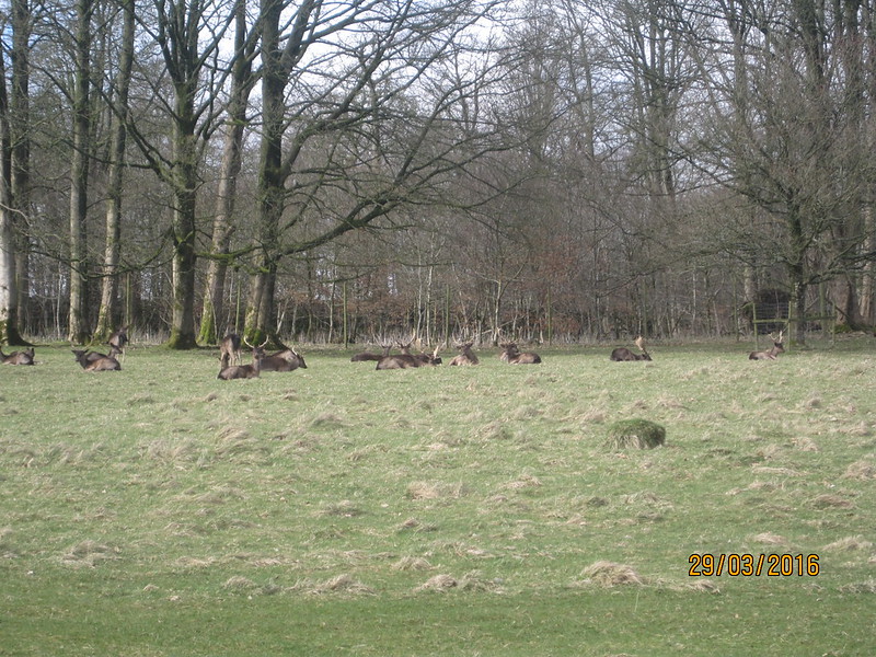
Most of the Fallow Deer were sheltering under the trees looking slightly forlorn, although some were still out in the open…

IMG_1184

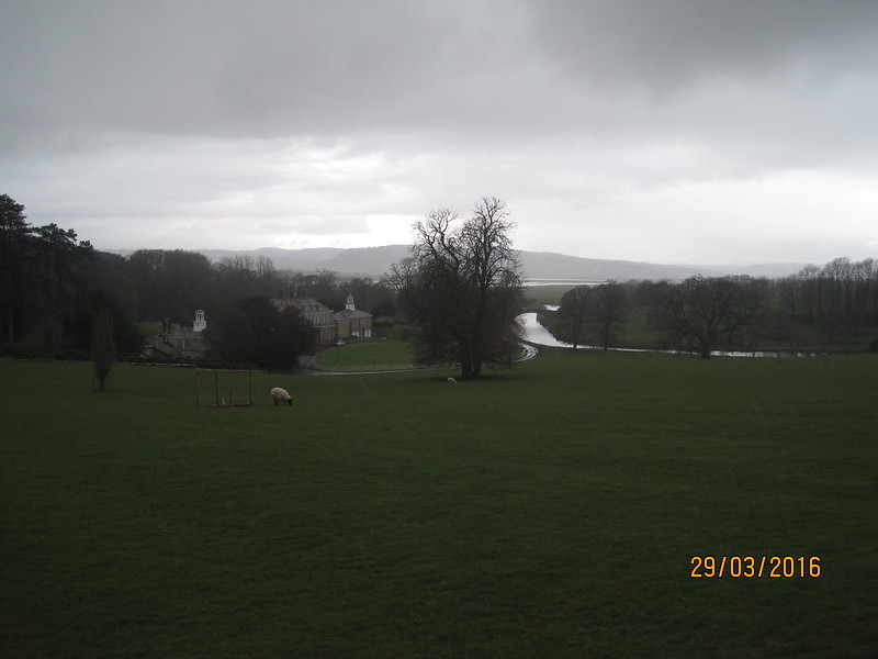
As we dropped down the hill past Dallam Hall and towards the River Bela…

IMG_1185

…one decision seemed to have been made for us. We’d been debating where to buy lunch, but although it was still quite early our minds were being made up for us by the inclement weather. Booth’s in Milnthorpe had become the new favourite in the bidding.

“Even if we don’t get lunch from Booth’s, can we just go in and browse?”, was A’s opinion on the matter.

In fact, when we’d bought a bit of lunch, the rain had stopped again and the sun was shining. We found a bench in the car park, spread some gear out to dry and tucked in. A fine time, as we sat mud-spattered and bedraggled, for a friend from the village to roll up in her car, wind down the window and inquire what we were up to.

IMG_1186

The path out of Milnthorpe took us up a slight hill and that modest elevation gave fine views of the Kent Estuary…

IMG_1187

…Whitbarrow Scar, and Heversham Head…

IMG_1191

The next part of the route had been a bit ticklish to plan. We needed to get to Levens Bridge: the Cumbria Coastal way would do that, via a series of minor lanes; we could climb Heversham Head, but the paths we would use zig-zag furiously; we opted for the most direct route, involving some walking along the main A6, but mostly on a parallel road which runs through the villages of Heversham and Leasgill.

IMG_1192

St. Peter’s, Heversham.

IMG_1194

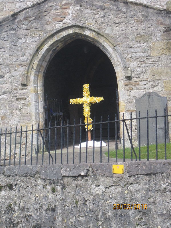
With another daffodil decorated cross.

IMG_1195

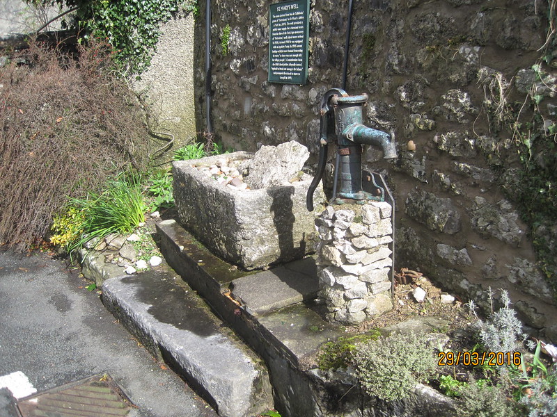
The pump, from 1900, at St. Mary’s Well, which according to the sign on the wall behind, supplied the village with water for around 1000 years.

IMG_1200

Whitbarrow Scar.

IMG_1201

Leasgill.

IMG_1203

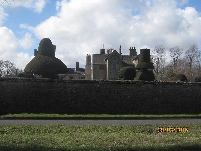
Leven’s Hall and its famous topiary.

IMG_1205

From Levens Bridge we would follow the River Kent upstream to Kendal.

IMG_1211

The Bagot Fallow Deer in Levens Deer Park.

IMG_1218

Initially, we could choose which bank of the river to follow and unfortunately we chose the West bank, still a source of much recrimination since…

IMG_1219

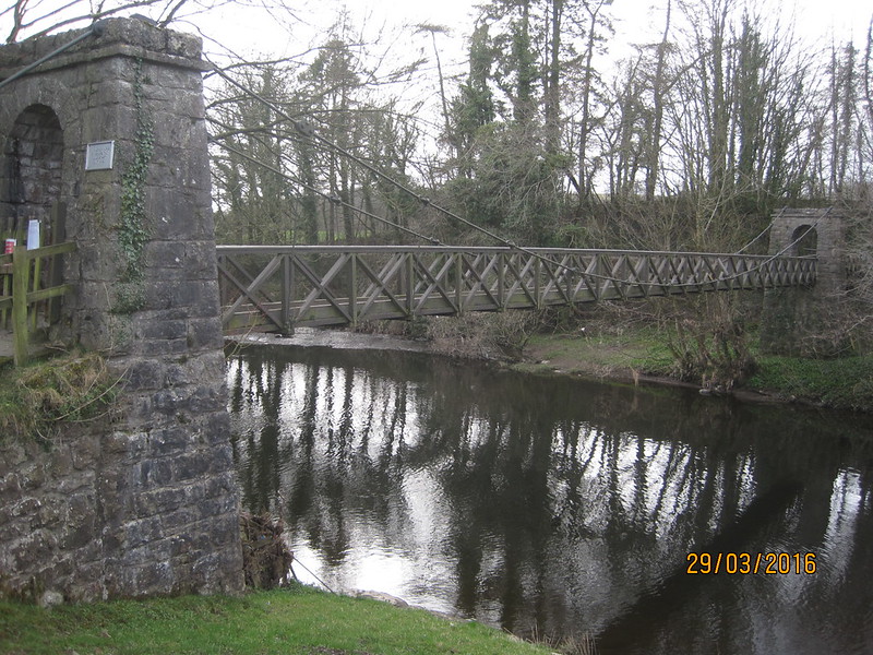
…a crucial bridge was closed, forcing us to retrace our steps back to a road bridge and then follow the East bank after all.

IMG_1221

All the way along the river we were to see plastic bags, traffic barriers, bundles of twigs and various other detritus in the branches of riverbank trees far above our heads. It was very sobering to see just how high the river-level had reached in last November’s floods.

IMG_1222

Happily we also saw goosander on the river and grey wagtails bobbing about on its margins.

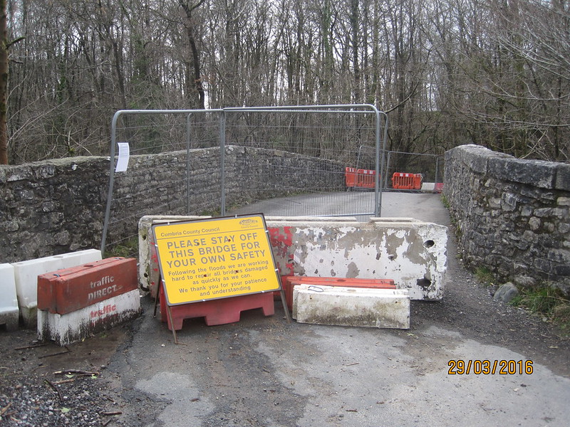
Hawes bridge was also still closed…

IMG_1223

The river eventually brought us to…

IMG_1225

Where we were staying in the Hostel, formerly YHA, now independent, and highly recommended. I’d booked a two-bed room, but we were upgraded to a bigger, en-suite room, the only disadvantage being that it was on the third floor . The shower was very hot and very powerful and very welcome. We just had time to grab a meal in the Brewery Arts Centre (handily close by the hostel) before settling in to watch ‘Batman versus Superman’, about which the least said the better. (Oh alright, if I must, my detailed review: it was rubbish, but I managed to sleep through quite a bit of it, so not all bad).

By popular demand (well Alan and Andy): maps.

Silverdale to Milnthorpe:

Silverdale to Milnthorpe

Milnthorpe to Hawes Bridge:

Milnthorpe to Hawes Bridge

Hawes Bridge to Kendal:

Hawes Bridge to Kendal


Silverdale to Keswick I: To Kendal