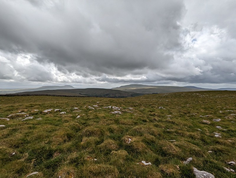
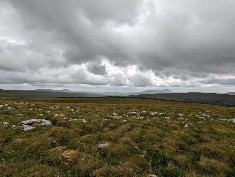
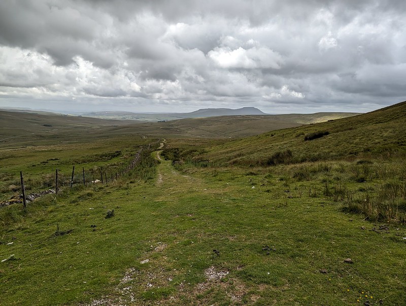
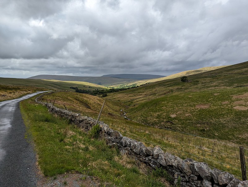
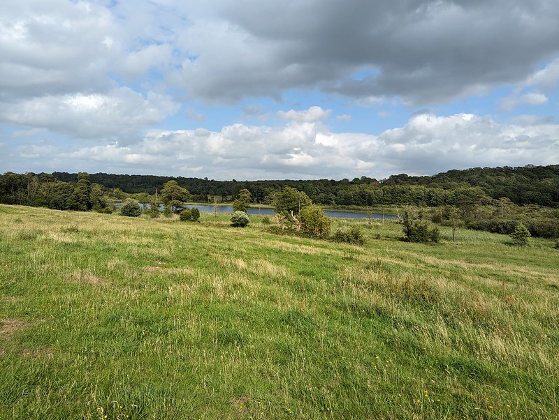
Ward’s Stone, Wolfhole Crag and White Hill.

PXL_20230705_185031171
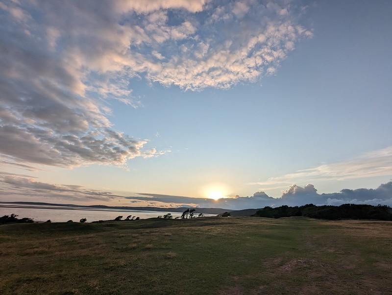
Late sun catches the River Roeburn and Morecambe Bay.

A Wednesday walk in early July; another fabulous Lune Catchment outing. I was able to get out on a Wednesday because it was a strike day. With hindsight, I’m slightly ambivalent about our industrial action: the ‘deal’ we eventually settled for was so poor, putting us even further behind where we were before ‘austerity’, that the personal cost of numerous unpaid strike days seems hardly worth it, but on the other hand, now that it’s over, I’m really missing those occasional days off and the midweek escapes to the hills.

My route could be summarised as a high-level circuit of the headwaters of the River Roeburn. At this remove I can’t remember what inspired me to plan such a long and ambitious route for a day when the forecast wasn’t especially promising.

I drove in on the road from Hornby which crosses a shoulder of Caton Moor, giving great views of the head of the dale, before losing lots of height, sadly. Even so, where I parked, by Barkin Bridge, the map shows a spot height of 144m, which, given that the Bowland hills are of modest heights even by paltry British standards, is a conveniently high start.
PXL_20230705_080956416
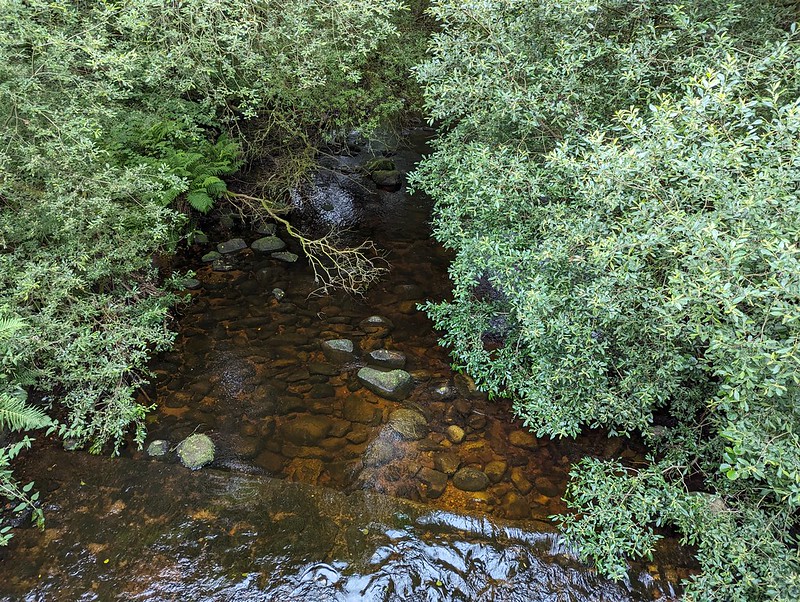
The River Roeburn from Barkin Bridge.
PXL_20230705_081511557
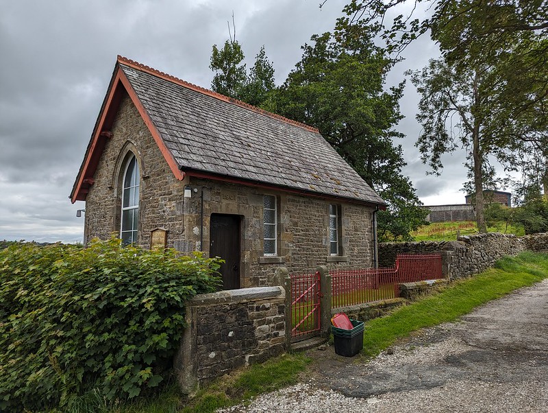
Roeburndale Methodist Chapel at Lower Salter.

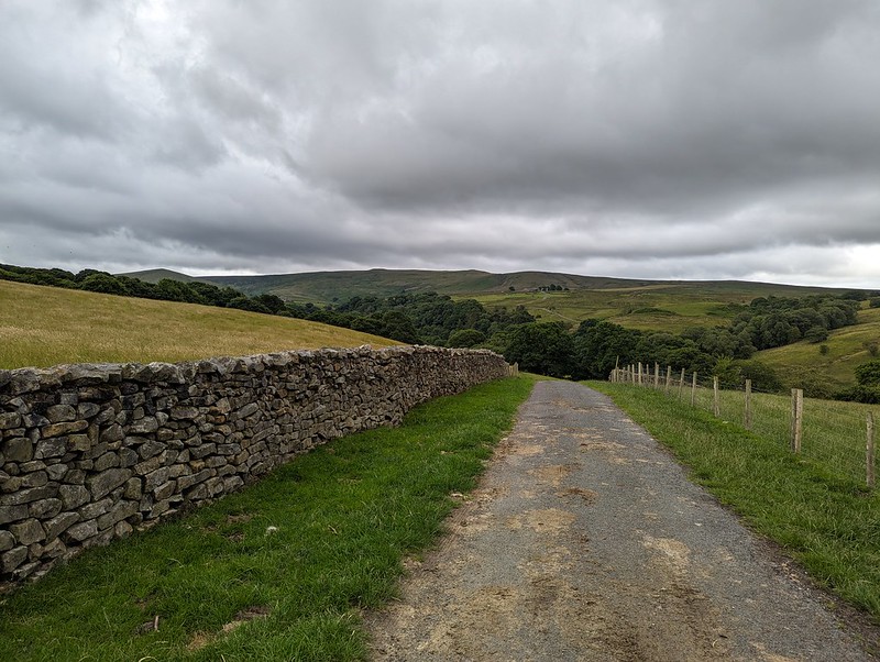
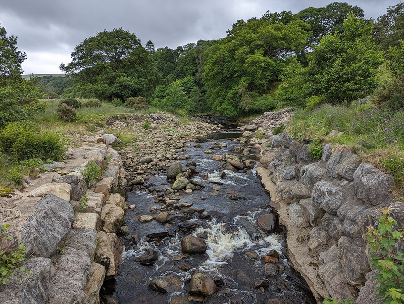
I climbed up the road past Lower Salter, beneath threatening clouds, before dropping back down again to the river on this metalled track…
PXL_20230705_081803168
Mallowdale Pike, High Stephen’s Head, Gallows Hill.
PXL_20230705_082347650
River Roeburn again.

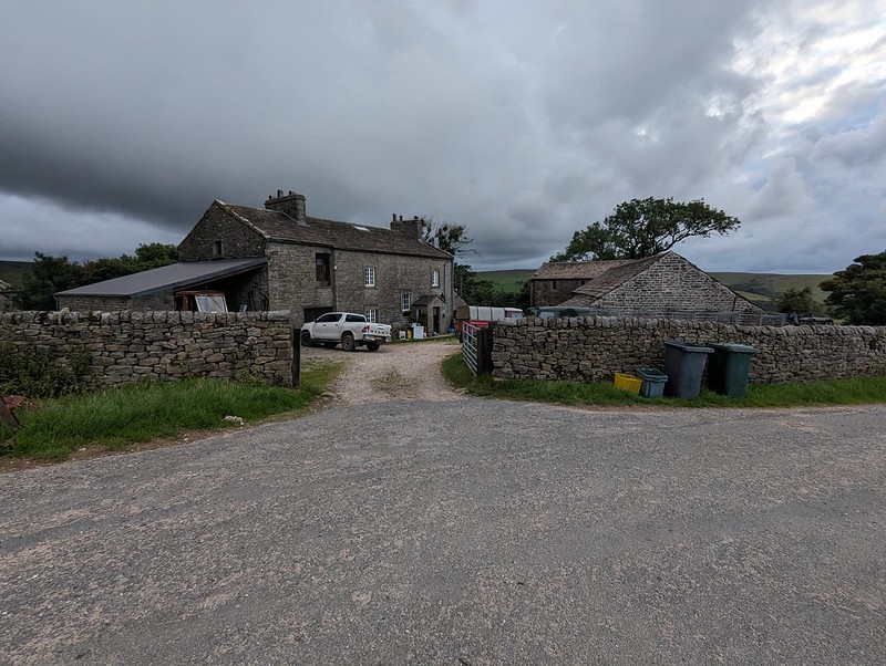
It began to rain and I reluctantly donned my cag, but it soon stopped and I didn’t put it on again until many hours later, right at the end of the walk, as I was returning to my car past the farm and cottages at Middle Salter. At other times, I could see showers passing through, or at least it looked like it was probably raining nearby, but none of them caught me.

PXL_20230705_084058538
Haylot Farm.

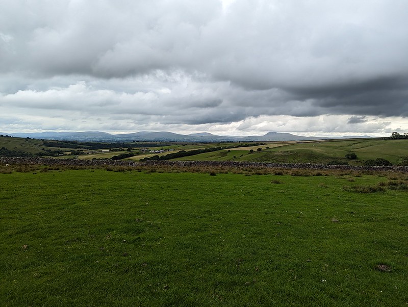
A little judicious trespassing here, across a couple of fields and on to Haylot Fell, would have saved me a lot of time and effort. Had I known what was to come, I might have gone for it.
PXL_20230705_084251145
The hills above Kirkby and the Three Peaks.
PXL_20230705_084736275
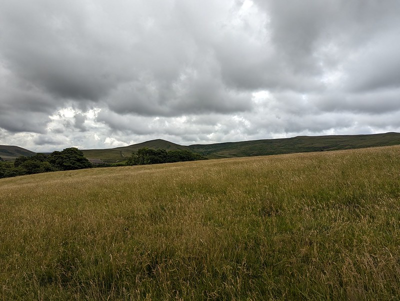
Mallowdale Pike.
PXL_20230705_085051175
Melling Wood.

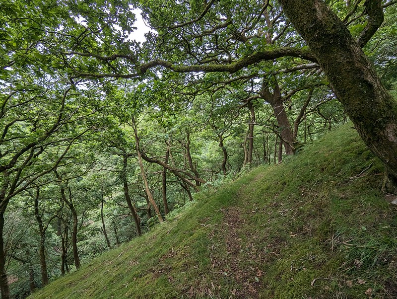
Instead, I followed the right-of-way down into Melling Wood – I know I’ve enthused about this steeply-sloping oak wood on the blog before. It’s a lovely spot.
PXL_20230705_085407362
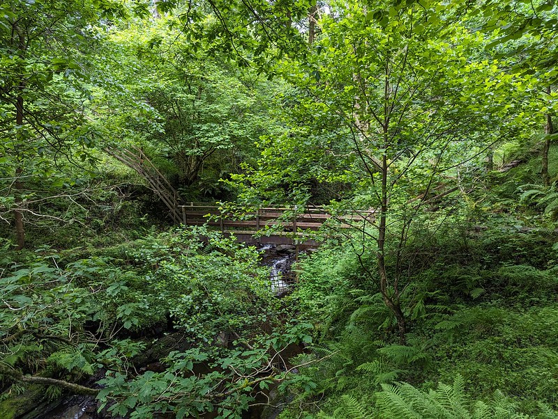
Footbridge across Mallow Gill.

So – I’d realised that if I stepped over the fence by this footbridge I would be on Access Land. Well, almost: strictly speaking I would also need to cross a sidestream of Mallow Gill too, but once on the far bank, I would be on Access Land. Easy.
Or so I thought.

PXL_20230705_085720349
Mallow Gill.

The sidestream I needed to cross is on the right here, although you can’t really see it in the photograph. My problem was that the banks were very steep and I didn’t fancy trying to get down into it, or fancy my chances of successfully getting up the far bank. On the map, the hillside here looks entirely benign, with widely spaced contours – there’s no hint that this will be steep terrain. But it was. And the ground was dry and seemed to be composed of leaf mould, which was loose and unstable and difficult to make progress on. Added to that, there were lots more steep-sided sidestreams which the map also fails to disclose.
I eventually climbed to the top edge of the wood and followed a very boggy path there which looked to have been made by hooved creatures – sheep or deer. I fell into one of the boggiest bits, which rather negated the way the weather considerately directed the showers away from me.

PXL_20230705_092737409
Haylot Fell.

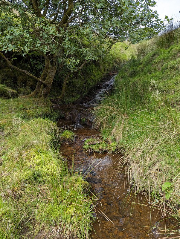
Anyway, I eventually climbed high enough to leave the wood and finally managed to cross the stream on to the Access Land. The stream, Lambclose Syke, was comically small by now, making a mockery of my previous inability to cross it.
PXL_20230705_092859830
Lambclose Syke.
PXL_20230705_093418112
Hawkshead, Mallowdale Pike, High Stephen’s Head.

Mallowdale Pike is an unusually shapely fell by Bowland standards, at least when seen from below. I’ve been intending to climb it for an age. I had half an idea to include it today, but it didn’t really fit neatly with the rest of my plans, so it’s still on my ‘to-do’ list.

PXL_20230705_093426669
The Three Peaks again.
PXL_20230705_094355641.PANO
Pano – Caton Moor, Three Peaks, Mallowdale Pike.
PXL_20230705_100404431
High Stephen’s Head and Gallows Hill.

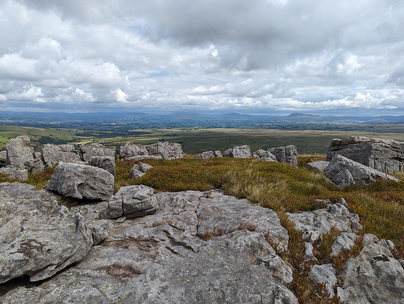
Instead I headed up Gallows Hill and then along the rock scattered edge from there to High Stephen’s Head.
PXL_20230705_102247903
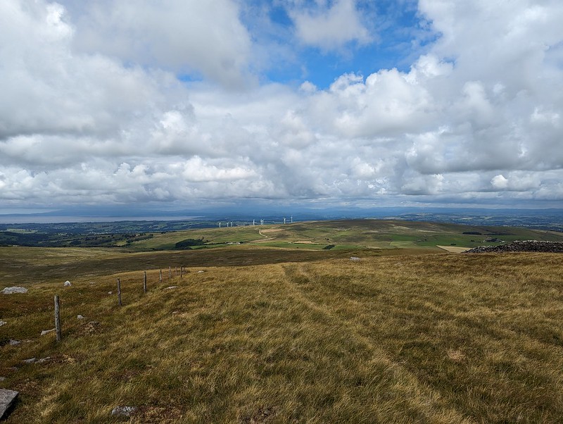
Morecambe Bay and Caton Moor Wind Farm.
PXL_20230705_103114795
The view north again.
PXL_20230705_103616897
A sheltered spot on High Stephen’s Head.

This hollow offered excellent shelter from the chilly wind, whilst still allowing extensive views to the North. Too good an opportunity to overlook, so I broke out my stove for the day’s first lengthy brew stop: Atkinson’s of Lancaster Blue Sky which is black tea but with a bit of Grapefruit flavour, my go to hike brew these days.

PXL_20230705_111802295
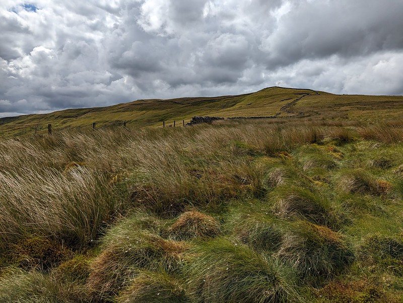
Forest of Bowland terrain.

Paths in the Forest of Bowland are usually little used, sketchy or even non-existent. The going was often rough and quite hard work. My hand-me down boots did me proud though, and my feet stayed dry through all of the bogs and peat hags.
PXL_20230705_112450385
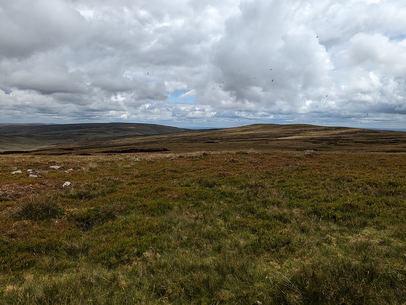
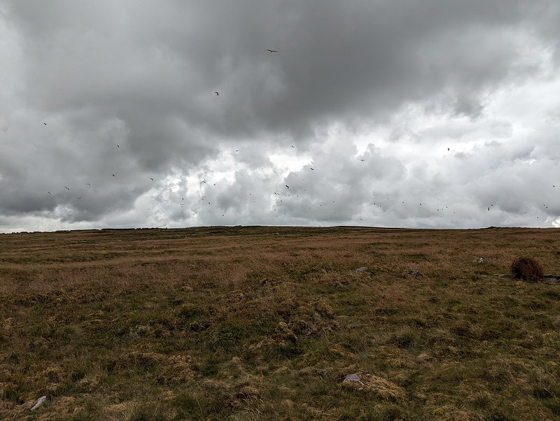
Lesser Black-backed Gulls.

As I approached Ward’s Stone, the air was thronged with Lesser Black-backed Gulls. The cacophony was astonishing. The walk between Ward’s Stone and Wolfhole Crags was accompanied by the constant calling of the gulls, who seemed to be always on the move. Apparently, the breeding colony here was once the largest in the UK, but for many years culling was allowed, ostensibly to protect the water course from pollution, but since the gulls will eat Grouse eggs and chicks the action also protected the shooting industry’s revenue. It seems that after the species was red-listed and the licence to cull elapsed, the persecution continued illegally, for a while at least. I haven’t managed to find any data regarding the recovery or otherwise of the breeding colony. There seemed to be a lot of gulls, but that’s not very scientific evidence. This colony was at one time the largest in the UK, and since the UK has 40% of the World’s population of this species, it was pretty important.

PXL_20230705_114121358
Bog Asphodel.

I know that gulls often vociferously protect their nests and I fully expected to be dive-bombed, which I wasn’t looking forward to, but whilst they made a lot of noise, the gulls left me well alone – maybe I didn’t get close enough to their nesting sites?

PXL_20230705_115006476
Queen’s Chair.

I think this must be the feature, close to the eastern summit of Ward’s Stone, marked as the Queen’s Chair – to be honest, it didn’t look remotely comfortable.

PXL_20230705_115524928
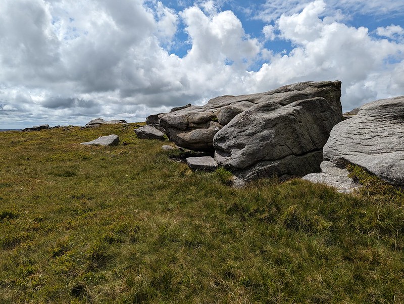
Grey Mare and Foal, Ward’s Stone.

This jumble of large boulders seems to be called Grey Mare and Foal although I couldn’t see why. However, on the leeward side of the rocks, well out of the wind…
PXL_20230705_122227191
Grey Mare and Foal, Ward’s Stone.

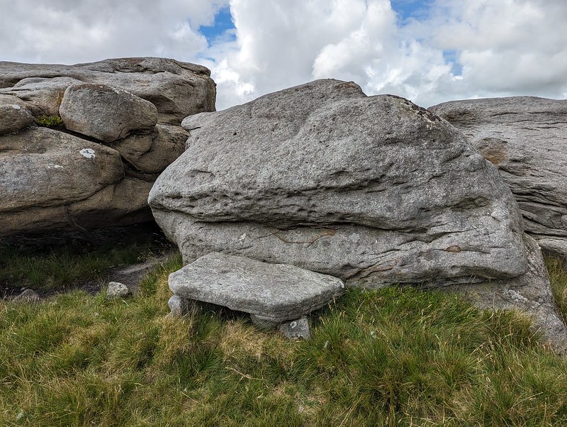
There’s was a large flat slab, resting on other rocks, which must surely have been laid like this to make a seat? It was extremely comfortable, with a view of my route ahead, and an ideal spot for brew number two and a spot of lunch.
PXL_20230705_115624330
A perfect seat for lunch.

Here on Ward’s Stone, the highest spot in the Forest of Bowland, I saw some other walkers: two couples. They were the only other walkers I met all day.

PXL_20230705_120839151
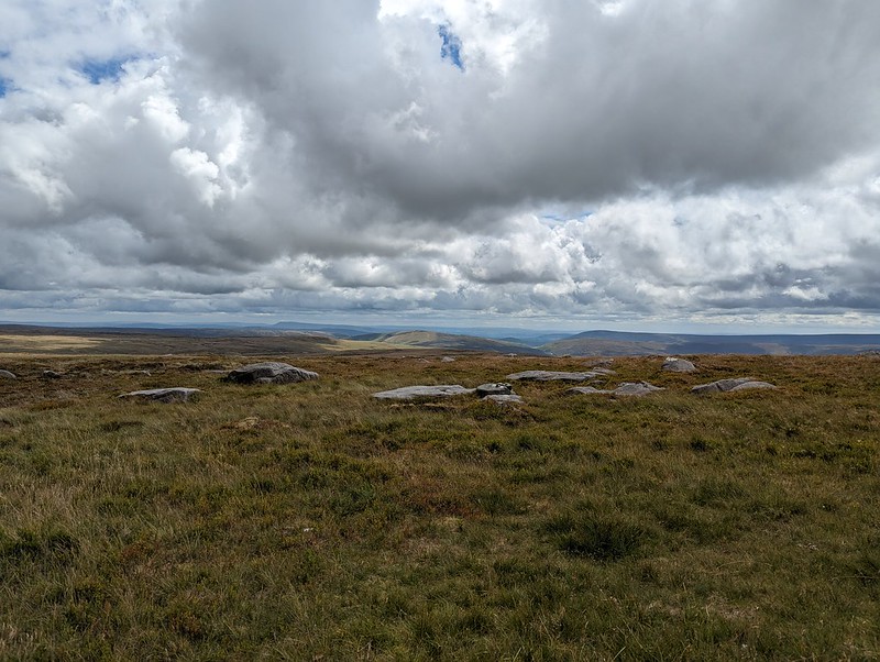
White Hill, Wolfhole Crag and Pendle Hill.
PXL_20230705_120841966
Pendle Hill and Fair Snape Fell.

Whilst Pendle Hill stands proud and alone and is very distinctive and easy to recognise, Fair Snape Fell is the highest hill in a jumble of Bowland fells which I’m not sufficiently familiar with to distinguish between.

PXL_20230705_125008796
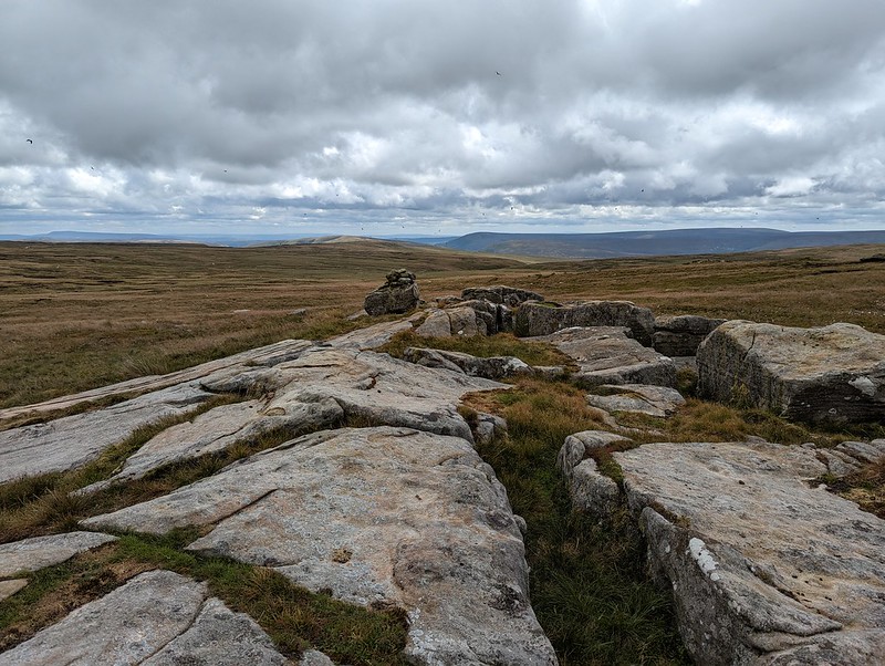
White Hill, Wolfhole Crag and Pendle Hill.
PXL_20230705_125715617
Pendle Hill and Fair Snape Fell and its neighbours. From Grey Crag?
PXL_20230705_131010838
White Hill and Wolfhole Crag. Slowly getting closer.
P1390313
Lesser Black-backed Gull.
PXL_20230705_134055713
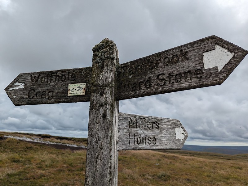
Lichened signpost.
PXL_20230705_134911885
Wolfhole Crag.

I think I’ve been to Wolfhole Crag before, many, many years ago. But if I have, I’d forgotten its jumbled, bouldery edge. I was impressed with what I found. I suppose that when a walk mostly covers quite featureless, bleak moorland, any rocky character really stands out.

PXL_20230705_134943455
Wolfhole Crag.
PXL_20230705_135135130
Wolfhole Crag.
PXL_20230705_135844465
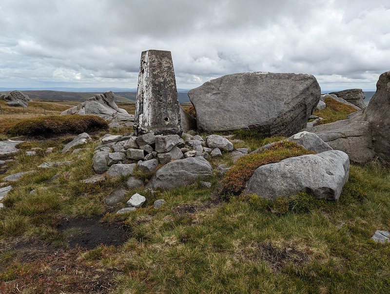
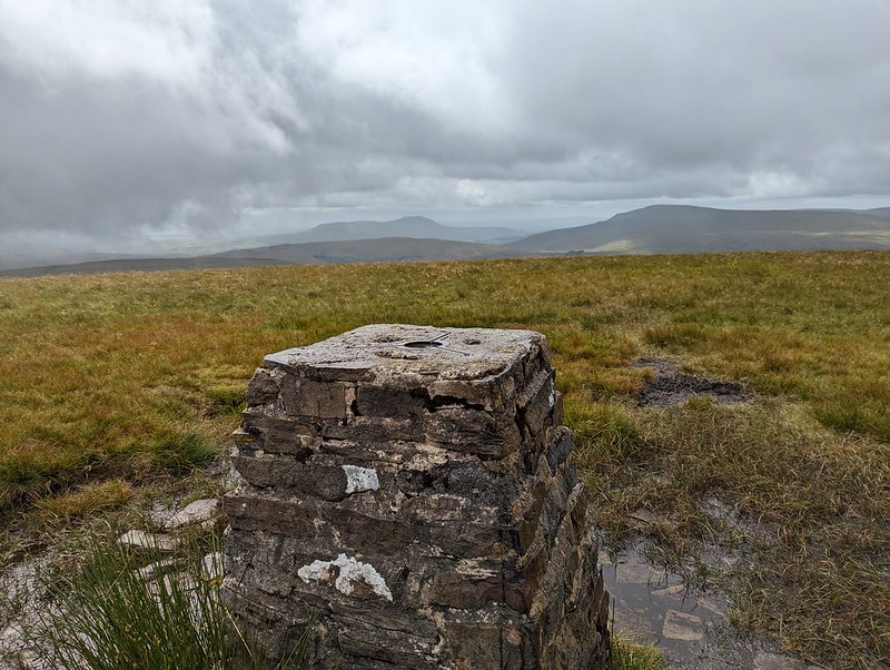
Wolfhole Crag trig pillar.
PXL_20230705_142146878
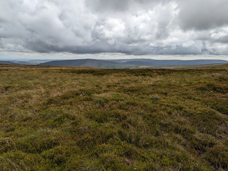
A grouse eye-level view.

I found another spot out of the wind, behind one of the towering boulders, made yet another brew and may have drifted off for a bit.

PXL_20230705_143319303
Looking back to Wolfhole Crag.
PXL_20230705_143330066
Fair Snape Fell.
PXL_20230705_145327498
Mallowdale Pike and Hawkshead.

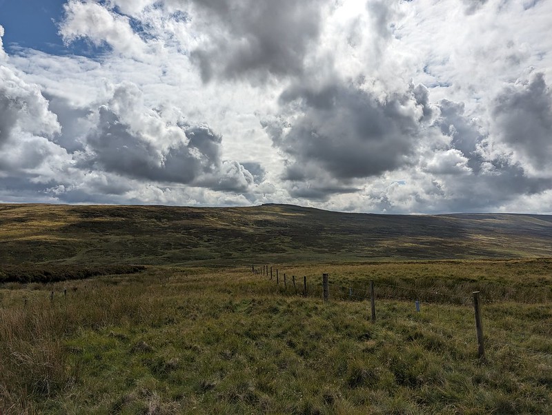
From Wolfhole Crag, I dropped down to the Hornby Road. This would be my return route to my car, but I decided on an out-and-back to White Hill first, even though it was already well into the afternoon.
PXL_20230705_152610695
Wolfhole Crag.
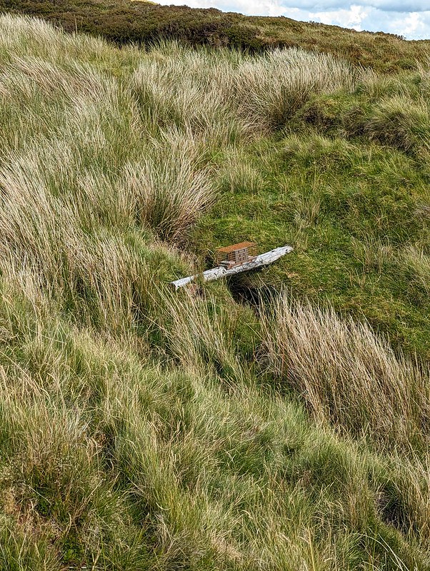
PXL_20230705_152240117
Stoat trap.
PXL_20230705_153920357
White Hill.

I’m assuming that White Hill is not often visited. There wasn’t much of a path and the going was hard work in places. On the other hand, the sun came out, and there were no Lesser Black-backed Gulls which meant a bit of relief from their raucous and relentless cawing. What’s more, it also meant there were other, different, birds to see. In fact, I was quite surprised to find how much time I spent taking photos of birds.

P1390346
Golden Plover.

Mostly, my photos are really rubbish shots of Golden Plover. I didn’t see many, perhaps three, but those birds seemed happy to play a game with me, bobbing up and down in the grass and heather, or suddenly appearing in full sight, but with the light behind them so that all I could capture was a silhouette.
P1390353
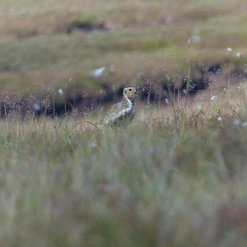
Golden Plover.

My game of hide-and-seek with this bird must have looked particularly comical: we were on opposite sides of a peat hag and both anxious not to be seen, so were both bobbing in and out of sight. I have lots of photos, but in most of them my camera has done a fabulous job of focusing on the vegetation between me and the plover.
I haven’t often seen Golden Plovers before though, so was very happy to have an opportunity to get even dodgy shots.
I also took a few blurred photos of Curlews in flight. And two distant, not especially sharp photos of what I’ve almost convinced myself might be a Merlin – Britain’s smallest bird of prey which lives on small moorland birds like pippits. I thought I saw one once before, flying around the craggy edge on Clougha Pike, not so far from here.
PXL_20230705_163643470
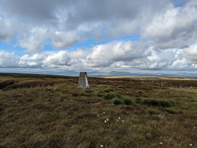
White Hill Trig Pillar.
PXL_20230705_164111738
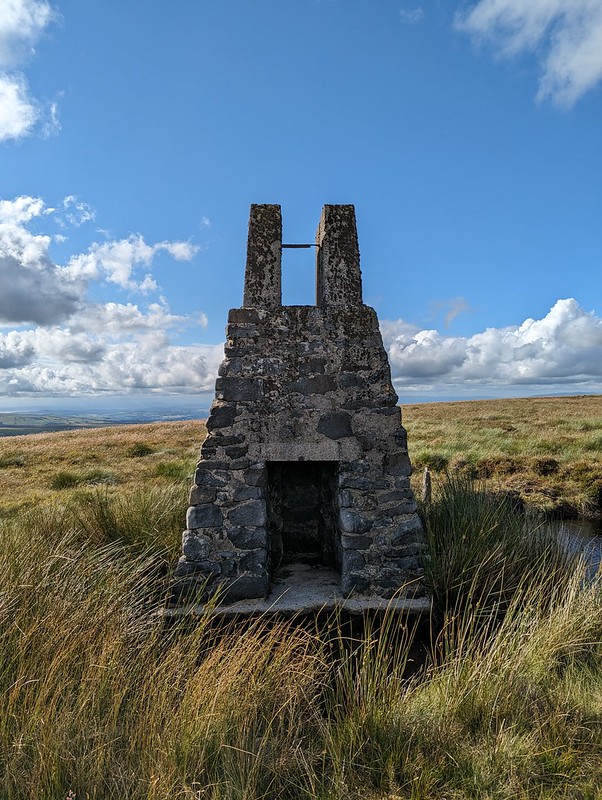
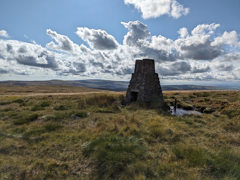
White Hill sighting tower. Wolfhole Crag and Ward’s Stone beyond.
PXL_20230705_164143949
Sighting tower. Used to plan the Haweswater Aqueduct.

There are three of these fairly tall structures on White Hill. There are similar pillars on Selside Pike near Haweswater in the Lake District, and on Tarn Crag above Longsleddale. They were used during the construction of the Haweswater Aqueduct which carries water from Haweswater reservoir in the Eastern Lakes to Manchester.
PXL_20230705_165114985
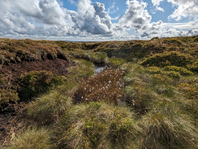
Forest of Bowland terrain 2.
PXL_20230705_170636410
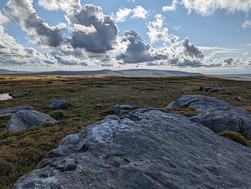
Wolfhole Crag and Ward’s Stone from Botton Crag.

My descent route was very close to the way I had come up, but the rocky slabs of Botton Crag gave slightly easier walking than the heathery amd tussocky terrain elsewhere on the moor.
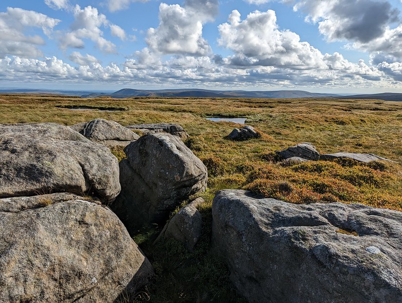
PXL_20230705_170742141
Looking toward Fair Snape Fell.
PXL_20230705_182256372
Hornby Road.

On the map, Hornby Road is marked as a Roman Road, although it seems the modern track may not always stick to the Roman route. The track connects Slaidburn to Hornby and Wray in the Lune valley. A quick Google suggests that it is popular with cyclists, which makes a lot of sense.
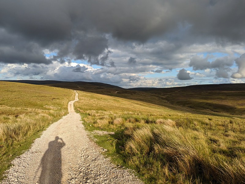
PXL_20230705_183352950
Hornby Road.

Although I still had quite a long way to go, the track at least gave some easy walking to finish my long day. With the clouds gathering, the drama of the skies and the light kept me royally entertained.
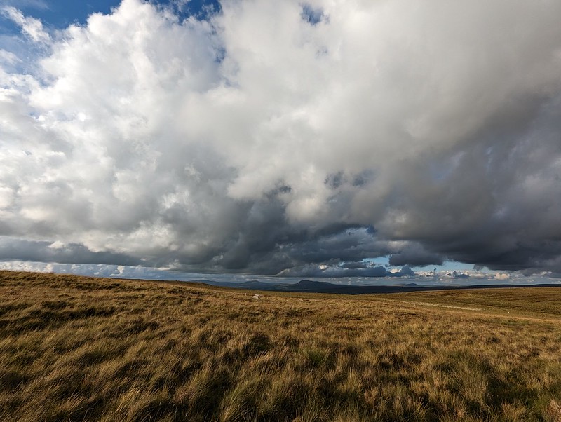
PXL_20230705_183646490
Big skies over the Three Peaks.

Fortunately, my ‘new’ phone seems to have a really flair for clouds – I imagine the in phone processing power of the software designed by the boffins at Google?

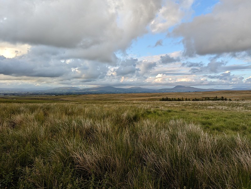
PXL_20230705_185031171
The kind of light which makes a late finish worth while.
PXL_20230705_192404446
One final view towards the Three Peaks.
PXL_20230705_193134626
Threatening clouds amassing over Mallowdale Pike, High Stephen’s Head, Gallows Hill and Haylot Fell.
PXL_20230705_193654489
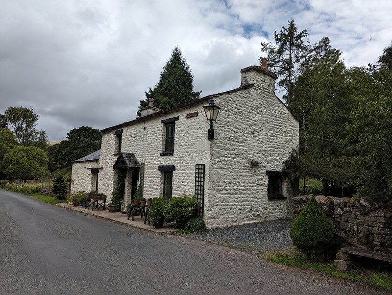
High Salter.
PXL_20230705_194829037
Haymaking near Middle Salter.

As the evening grew gloomy and I put my cag back on for the last few hundred yards, the local farmers were still busy cutting the grass for silage.

MapMyWalk gives a little under 18 miles and around 660 metres of ascent. More importantly, another day of really enjoyable walking.

Ward’s Stone, Wolfhole Crag and White Hill.

Mud Circles and the Dales 37

PXL_20230703_194337679
Inman Oaks.

Three photos from a Monday evening stroll, in lovely light, the day after my Great Knoutberry Hill outing. It was a beautiful evening, but aside from the fact that I walked a route which I habitually take anticlockwise in the opposite direction for some reason, there’s not great deal to say about it.

PXL_20230703_200530276
The Lots.

On the other hand, my trip to Dentdale, and some of my other Lune Catchment walks of late, have me reflecting on how patchy my knowledge of the Dales is. When I climbed Black Combe with old friend OGS this summer (post soon to come) he was telling me about his pursuit of the Ethels, a list of 95 hills over 400m in the Peak District. Last summer, in the Adirondacks, I was very struck by the 46 – a bagger’s list of all the 4000′ peaks in the area. There must be something similar in the Dales surely?
Of course there is: a quick Google revealed a book called the Dales 30, which details walks to all of the Dales Hewitts, Hewitts being hills over 2000′ which require a reascent of at least 30m, so a subset of the Tumps. This reminded me of a book I knew I had lying around somewhere, the English volume of the Nuttalls books which detail walks to all the English and Welsh 2000′ hills. In their specification, a hill has a minimum 15m drop on all sides , not 30m. Curiously, that only takes the list from 30 to 37.

PXL_20230703_201157459
Mud circles – artwork? The Cove and the sun dropping behind Hampsfell.

Looking at those 37, there are some that I’ve climbed many times, some that I haven’t climbed for ages, and some which I’m not really sure about one way or the other – I may have done them years ago, in my University days, but not since.
I have several half-baked, half-finished projects on the go already, but I’m very tempted to start ticking these off too. Will I repeat all the ones I know I’ve done before? Not sure. Will I set a deadline? Definitely not. Will I ever finish my multifarious self-imposed tasks. Never! But I’ll have fun trying!

Maybe I’ll start this weekend!

Mud Circles and the Dales 37

Great Knoutberry Hill and Wold Fell

PXL_20230702_092807858
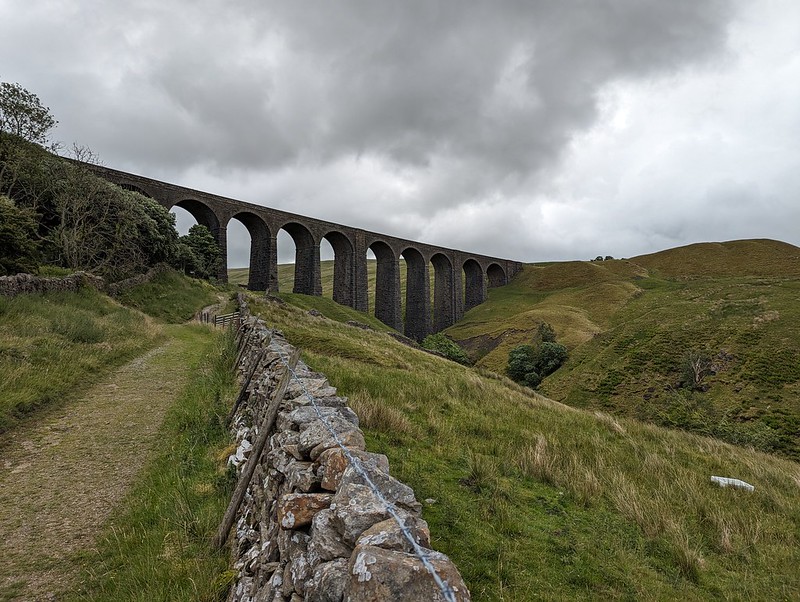
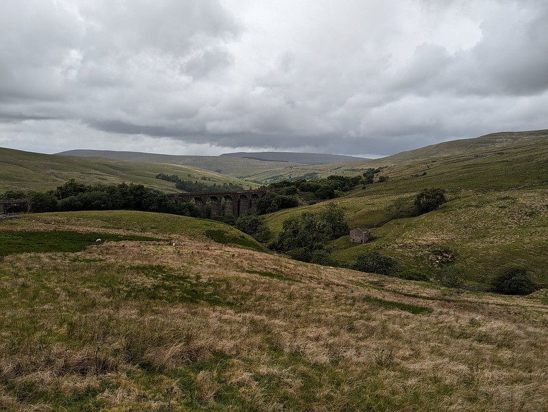
Dent Head Viaduct and Packsaddle Bridge over Fell End Gill.

Another Lune Catchment walk, on a day of decidedly mixed weather. I don’t mind a bit of mixed weather, depending, I suppose, on the ratios employed in the recipe: I can stand a bit of rain so long as it isn’t poured with too heavy a hand and if I get some dramatic skies in compensation.

I know that Dentdale is lovely, but curiously, given that it’s not really all that far from home, I haven’t actually visited all that often. I’ve climbed Whernside from Dent on a couple of occasions. We camped here once, in the rain, when the kids were little I think. But I haven’t visited most of the valley, I hadn’t climbed any of the hills to the north or east. All of which is even more odd, given that where I parked, this early July Sunday morning, by the magnificent Dent Head Viaduct, was about a five minute drive from Gearstones Lodge, where we’ve spent a weekend prior to every Christmas for a few years now. In fact, we fairly recently watched the cloud pouring over Great Knoutberry Hill and Wold Fell from the northern end of Whernside during a cloud inversion weekend at Gearstones.

PXL_20230702_093504623
Bridge End Cottage (I think).

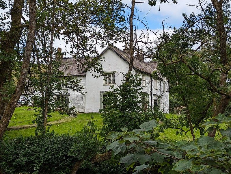
My walk began downhill, along the road – neither of which would usually be my first choice when picking a route, but on this occasion, with the infant River Dee alongside, a mass of wild flowers on the verges and lots of old, listed buildings to admire, I was more than happy. Both the viaduct and the old bridge are listed, along with just about every building in this upper part of the valley it seems. All, perhaps, except this one, if I’m right that this is Bridge End Cottage.
In fact, I might have finished and published this post by now, apart from the fact that I’ve spent a lot of time down the rabbit-hole of reading all of the listings on the Historic England website. I think I enjoy the fact that they are quite clearly dense with information, but simultaneously, make no sense to me whatsoever.

“Rock-faced sandstone in massive blocks, mostly coursed but some snecked, with brick soffits to the arches. Slightly curved line on north-south axis. Ten tall round-headed arches on battered rectangular piers, that in the centre broader than the others and with a broad tapered pilaster; short cavetto-moulded imposts at the springing of the arches, rusticated voussoirs (now with 3 tie-plates to each arch), a moulded string course, and parapets with rounded coping.”

This is the viaduct, for example. Snecked? Soffits? Cavetto? Imposts? At least I know what voussoirs are, after a previous rabbit-hole episode, although I can’t tell you what it means for them to be rusticated; and I’m guessing that, in this context, ‘battered’ has nothing to do with coating in a mixture of flour, egg and beer and then deep-frying? (Although it has probably been tried in Scotland).

PXL_20230702_093839772
The River Dee.
PXL_20230702_094131719
Dee Side House.

Formerly Dentdale Youth Hostel and before that a hunting lodge; now available as a holiday let. I’ll let you insert here your own rant about the YHA losing its way and selling off so many wonderful remote properties like this one. I’m saddened that I never got around to staying here whilst it was still a hostel, but even more upset that apparently Patterdale Hostel in the Lakes, where I have stayed many, many times, including for several big family get-togethers when I was in my teens, is facing a similar fate.

PXL_20230702_094321869
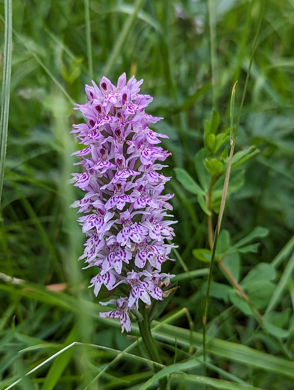
Common Spotted-orchid.
PXL_20230702_094454400
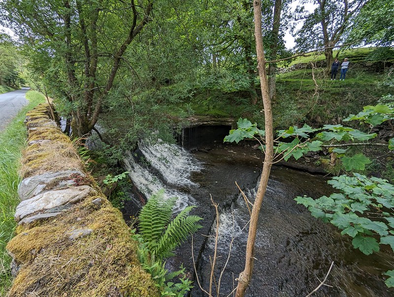
Scow Force.
PXL_20230702_094354535
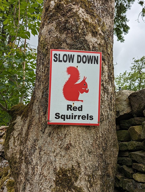
Speed up – missed Red Squirrel photo opportunity.

I did see a Red Squirrel, running along the top of a gate, but I was much too slow with my camera to get a photo. I was impressed that somebody has put out these signs in an attempt to save the local squirrels from motorists, but I clearly needed to speed up, not slow down, in response to the presence of squirrels.

PXL_20230702_094625394
Bettony.

I passed a garden hereabouts which had been decked out as a picnic spot for Dales Way walkers – which seemed like a really generous thing to do and reminded me of the esrtwhile ‘Hiker’s Rest’ near to Beck Head at the southern end of Whitbarrow.

PXL_20230702_094941345
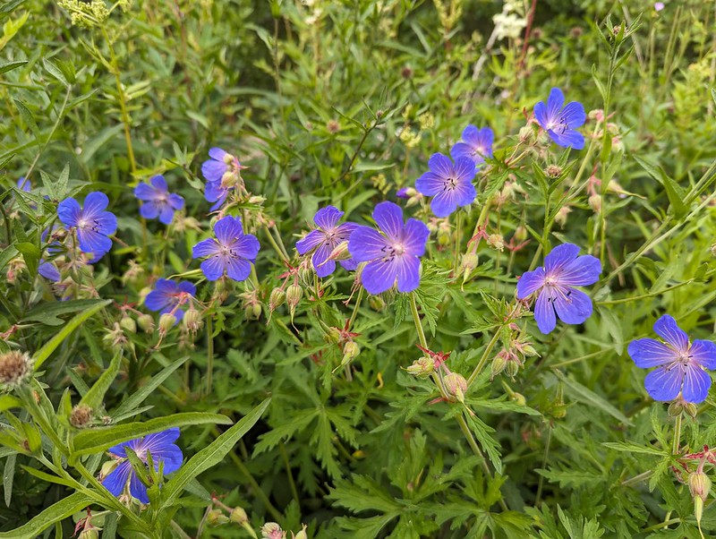
Meadow Crane’s-bill.
PXL_20230702_095326075
The River Dee.
PXL_20230702_095351467
East Stonehouse.
PXL_20230702_095414146
Outbuilding at East Stonehouse.

There was something about the higgledy-piggledy design of this building which I found appealing. Higgledy-piggledy is the technical term obviously; I can’t think how else to put it, not asymmetric exactly, most houses aren’t symmetrical after all. It’s something to do with the windows and doors all being different sizes and positioned at different levels, I think. Anyway, I liked it.

PXL_20230702_095654496
West Stonehouse.

Confusingly, West Stonehouse lies NNE of East Stonehouse. I’m sure it made sense to name them that way to somebody at some time, but it seems very odd now. Here’s a snippet of the Historic England description of West Stonehouse:

“White-painted rubble, the centre portion random, with quoins, and the outer portions coursed, also with quoins; stone slate roof.”

I often bemoan the modern penchant for using the word random, when the desired import is actually ‘arbitrary’; so I was struck by the use of ‘random’ here. Apparently random rubble stone is where undressed or hammer dressed stones are used. Like a dry-stone wall; the stones are all different sizes and fit together like the squares and rectangles in a painting by Piet Mondrian, not in neat, even layers, which would be ‘coursed’. So there you go.

It probably makes more sense with a picture – I shall have to take one.

PXL_20230702_100116987
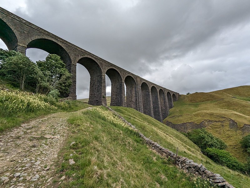
Arten Gill Viaduct.

By the track from Stonehouse there was an information board about the mining, or possibly quarrying, or – looking at the map – probably both, which formerly went on in this area. I didn’t take a photo, which is most unlike me, but the area’s industrial past no doubt explains the effort which was expended in creating the cobbled track up towards Arten Gill Viaduct.

PXL_20230702_100145544
Cobbled bridleway.
PXL_20230702_100442692
Arten Gill Viaduct.

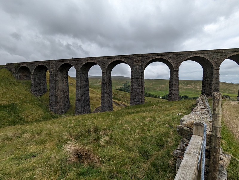
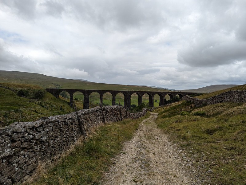
This viaduct was if anything even more attractive than the Dent Head one had been. You’ll have to bear with me, I took lots of photos. On the other hand, I didn’t manage to catch the pair of raptors, I think Kestrels, which were flying in and out of the trees by the viaduct.

PXL_20230702_100641831
Arten Gill Viaduct.

Tautologically, the stream below is labelled, on the map, both as Arten Gill, and as Artengill Beck.

PXL_20230702_101001993
Arten Gill Viaduct.

The skies were beginning to build some ominously dramatic looking clouds and I was soon paying for it in the first of several showers. To be fair, the showers were at least short-lived and mostly not too heavy either.

PXL_20230702_101302816
Arten Gill Viaduct.

The track rises steadily, without being hard work and so was ideal. There were lots of birds about – Wheatear and Pipits, but most entertainingly Stonechats.

P1390279
Male Stonechat.

A couple of individuals, first one and then later another, took it upon themselves to fly ahead in little short hops and then stop and wait on the fence, allowing me to get very close before scooting on again.

P1390289
Male Stonechat.

Naturally, I took lots of photos.

I also got overly excited, during a shower, about what I decided was a Mountain Ringlet, even though I strongly suspected that they are not found in the Dales. Which absence would, of course, make my discovery all the more notable and exciting. When I finally got close enough to get a photo and a close look, it transpired that it was in fact a very small Ringlet, of the plain, old common-or-garden variety.

PXL_20230702_102602807
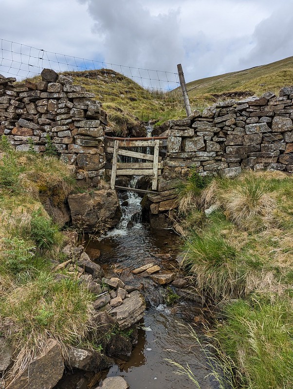
A sidestream.
PXL_20230702_102838669
And another – being neatly directed across the track.
PXL_20230702_103837106
An excess of weather.

Having reached the top of the pass, I could have taken a direct line up to the top of Great Knoutberry Hill, but I’d done a bit of research online and read great things about the track, Galloway Gate, which contours around the southern and western slopes of the hill.

PXL_20230702_105433978
Whernside from Galloway Gate.
PXL_20230702_110041795
Ingleborough and Whernside and more showers.
PXL_20230702_111302528
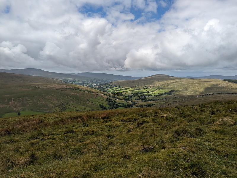
Looking down Dentdale.

Choosing Galloway Gate turned out to be a good decision – it’s a fine walk which gives great views, particularly down into Dentdale.

PXL_20230702_112406784
Baugh Fell and Wild Boar Fell from Galloway Gate.

Eventually, I turned right, heading uphill and on to Pikes Edge, where there a number of scattered cairns and even more scattered boulders.

PXL_20230702_114229613
Ingleborough and Whernside from one of the cairns on Pikes Edge.
PXL_20230702_114233650
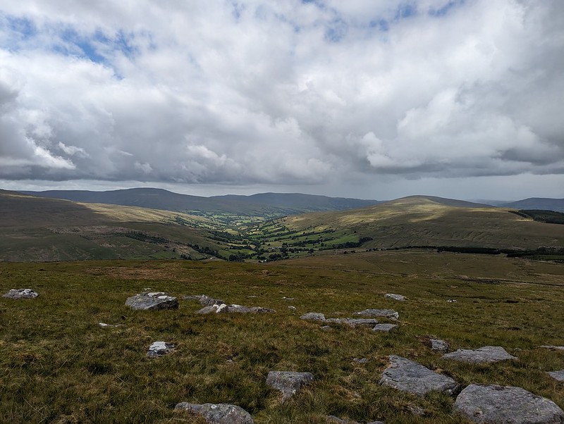
Looking down Dentdale again.

As I approached the summit of Great Knoutberry Hill, I was engulfed in by far and away the heaviest shower of the day – for a while it was really chucking it down. A little annoyingly then, I found that I had unpacked my waterproof trousers from my rucsac, which is something I very rarely bother to do. Since I was wearing shorts anyway, and my waterproof trousers are mostly holes and layers of duct tape patched up with more duct tape, it probably wasn’t that great a loss.
Also, this stone seat, possibly of random rubble, was facing away from the wind…

PXL_20230702_122731302
Stone seat/shelter on Great Knoutberry Hill.
PXL_20230702_120730439
Lunch stop in a Bivvy bag in pouring rain.

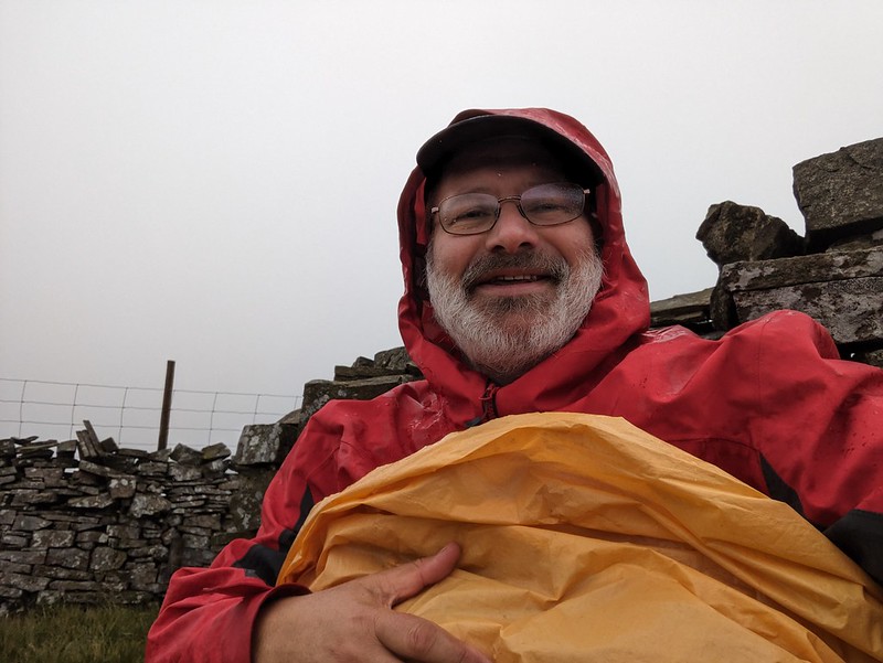
Since the rain was falling horizontally, once I was hunkered down on the seat, and snug inside my bivvy bag, I was able to enjoy my packed lunch and a brew despite the rain.
Anyway, it soon started to clear again.

PXL_20230702_121711910
Ingleborough and Whernside from Great Knoutberry Hill.
PXL_20230702_121944135
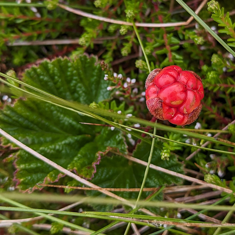
Cloudberry – or Knoutberry.

I had a bit of a wander in the vicinity of the trig pillar and found several Cloudberries. I don’t think I’ve ever seen them before, although I shouldn’t have been surprised to find them here, since Knoutberry is apparently a local name for Cloudberries. I also read that they are regarded as somewhat of a delicacy in Scandinavia; that the UK population of plants is predominantly male, so that it’s rare to find fruit; and that this example isn’t ripe, since they turn orange when they’re ripe.

PXL_20230702_121907142
Widdale Tarns.

Great Knoutberry Hill is merely the highest point on the huge expanses of Widdale Fell. Beforehand, I had been contemplating a little wander to explore the tarns at least, but based on the area around the summit, I decided that it would be very rough going and that I would leave that for another day.
Looking at the map again now, I see that Widdale Fell has an impressive looking edge above Widdale itself, that most of the streams drain either directly into the River Ure or into the Ure via Widdale Beck; but that some of the streams run down into Garsdale and the River Clough – a tributary of the Lune which I haven’t explored at all yet: so I shall need to come back at some point.

On this occasion I took a more direct route back towards the crossroads between Great Knoutberry Hill and Wold Fell.

PXL_20230702_123550837
Pen-y-ghent, Wold Fell, Ingleborough and Whernside.
PXL_20230702_125258048
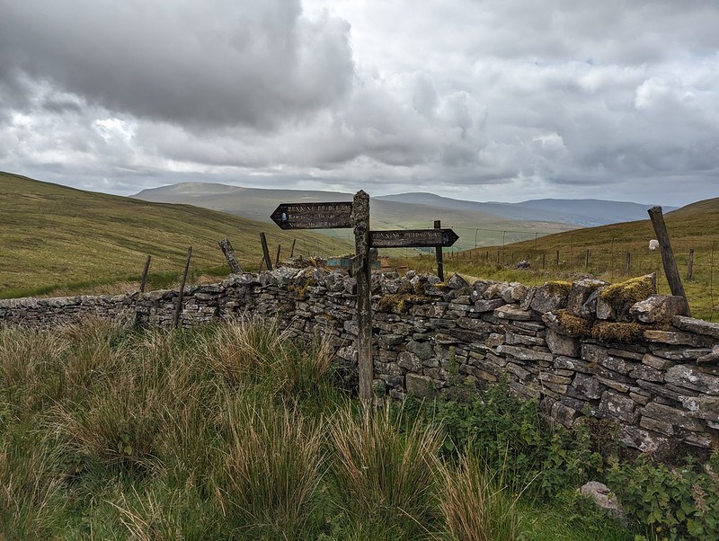
Pennine Bridleway signpost.

This is the signpost at the crossroads, which I hadn’t photographed when I first passed it because it had been raining at the time. This track is part of the Pennine Bridleway, a route which, like the Dales Way, some of which I also lay on this route, always seems superb wherever I encounter it.

PXL_20230702_130425913
Wold Fell.
P1390299
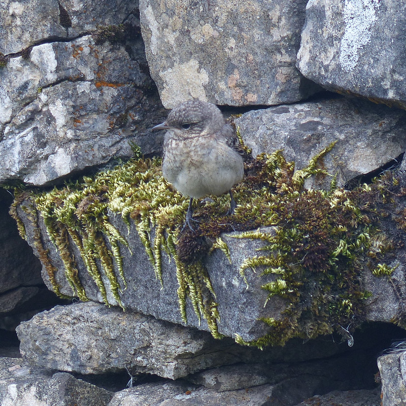
Juvenile Wheatear.
PXL_20230702_132319399
On Wold Fell, looking back to Great Knoutberry Fell.

Wold Fell was quite odd: limestone pavement, mostly grassed over, a very flat topped hill – there was a small cairn, as you can see, but it was very difficult to tell whether that was the actual highest point of the fell.

PXL_20230702_133155656
Ingleborough and Whernside from Wold Fell.

The lump between, and in front of, Ingleborough and Whernside is Blea Moor. I’ve often looked at it, especially when climbing Whernside from Little Dale via Greensett Tarn, but never been up it. I suppose I might get around to it at some point, although the lower slopes above Ribble Head are a bit of-puttingly rough and reed covered.

PXL_20230702_133159341
Pen-y-ghent and Ingleborough from Wold Fell.
PXL_20230702_134528470
Descending towards Ingleborough.

From Wold Fell it was a simple romp down a track and then a minor road, accompanied by a couple more brief showers, back to the car.

PXL_20230702_141620353
Fell End Gill.
PXL_20230702_142315214
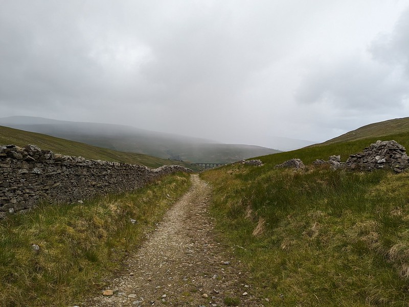
Dent Head Viaduct again.
PXL_20230702_142857831
Common Spotted-orchid.

As almost always seems to be the case with my Lune Catchment outings, it was a very satisfying trip, packed with interest, from which I came away with a host of ideas for possible future excursions.

PXL_20230702_184912343
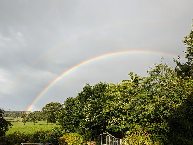
More showers at home – and a double rainbow.

Back at home, there were more showers, and this time an accompanying double rainbow.

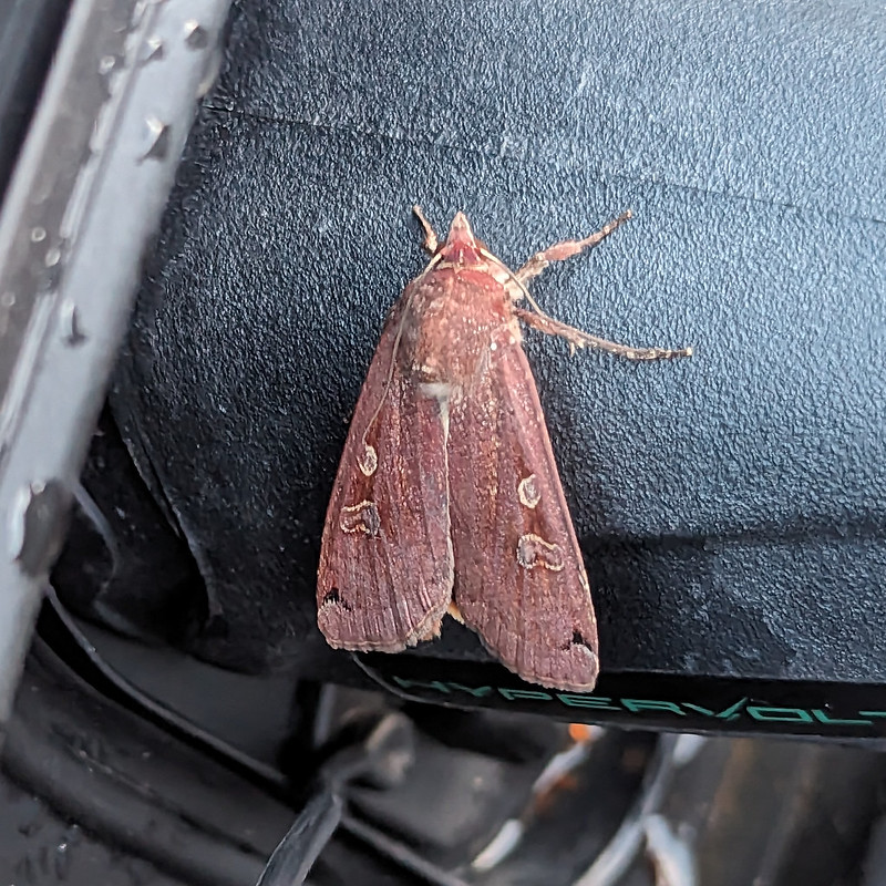
Later still, around 10pm, Little S sent me back outside to have a look at the moth which was resting on the plug on the charging cable for our car. It was dark and I’m amazed that my phone managed an image as clear as this…

PXL_20230702_205941092.NIGHT
A Large Yellow Underwing?

I’m told that this is a Yellow Underwing Moth , although to an untutored eye it also looks very similar to a Square-spot Rustic Moth. I’ll settle for it being a lovely colour, whichever.

Map the first.
Map the second.

MpaMyWalk gives a little shy of ten miles and 485 metres of ascent, which seems about right.

Great Knoutberry Hill and Wold Fell

Another Slow Walk (or Two)

PXL_20230701_131555224
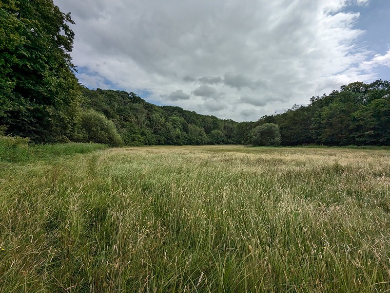
Lambert’s Meadow.

The photos in this post are all from two walks around home from the first Saturday in July. The random musings are more recent.

PXL_20230701_132255672
Lambert’s Meadow.

I remember there was a bit of a fuss about a Slow Food movement a few years ago, wasn’t there? Started in Italy, apparently. I was thinking about this, because I was idly contemplating the concept of a Slow Walking movement.
Although movement sounds a bit energetic in this context.

PXL_20230701_140959200
Lambert’s Meadow.

Apparently, there’s already a Slow Living campaign:
“Slow living is a lifestyle which encourages a slower approach to aspects of everyday life, involving completing tasks at a leisurely pace.”

P1390107
Spear Thistles.

Leisurely pace. Yup.

Monotasking.

If that.

PXL_20230701_124328834
Silver Y Moth.

I read somewhere that this year was a good one for butterflies. I can’t say it seemed that way particularly, from my perspective. I did see a lot of Silver Y moths though. They migrate here from the continent apparently. Overachievers.

PXL_20230701_125042799
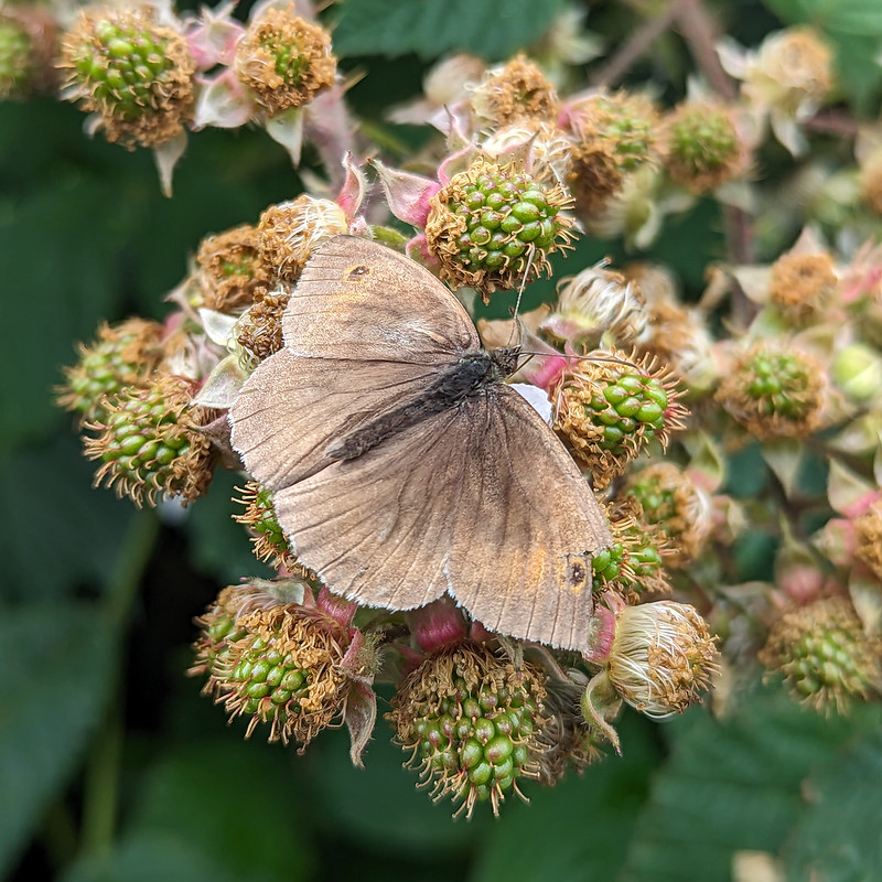
A very faded Meadow Brown.

For various reasons, TBH has put a lot of effort into researching ADHD recently. Now and again, she gives me articles to read, or listen to. They usually make me chuckle with recognition.

PXL_20230701_125207517
Another very faded, and very hairy, Meadow Brown.

Whilst not a recognised symptom, apparently people with ADHD often display hyperfocus.
“Hyperfocus is highly focused attention that lasts a long time. You concentrate on something so hard that you lose track of everything else going on around you.”

PXL_20230701_125234078
A faded bee – an Early Bumblebee?

The example given in the article TBH showed me yesterday was of a child continuing to read a book under a desk, which is me all over. I imagine slowly plodding around a field taking hundreds of photos of bugs, bees, flies, fleas and creepy-crawlies probably qualifies too.

PXL_20230701_125305009
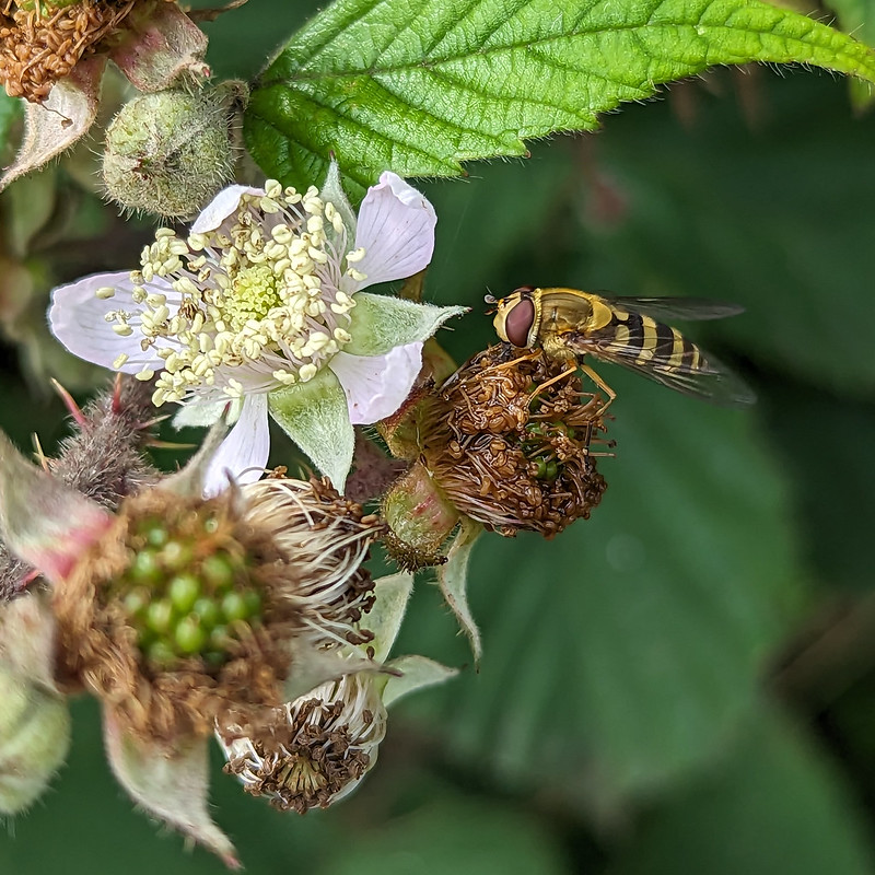
Hoverfly – female Syrphus ribesii.

I realise that it can seem like half-the-world is busy self-diagnosing ADHD these days, but that’s okay isn’t it? We can all be neuro-diverse, we all have our little, or not so little, idiosyncrasies.

PXL_20230701_125455542
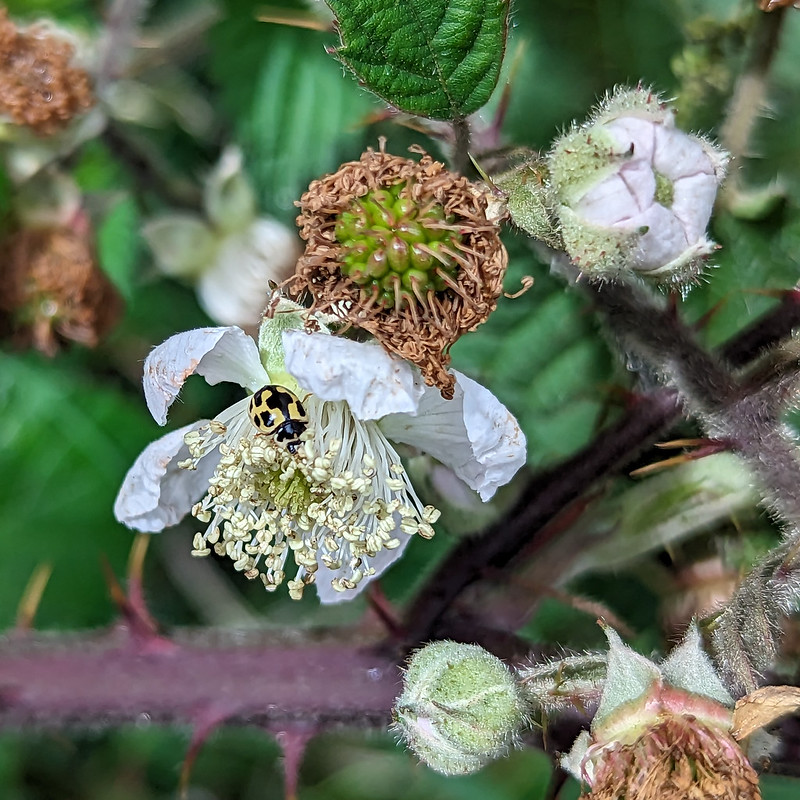
Fourteen-spot ladybird.
PXL_20230701_125457996
Fourteen-spot ladybird.

Similar colouring to a Twenty-two-spot ladybird, but much bigger, and the spots are more rectangular and less round, and can merge together.

PXL_20230701_131249560
Common Spotted-orchid.
PXL_20230701_132901615
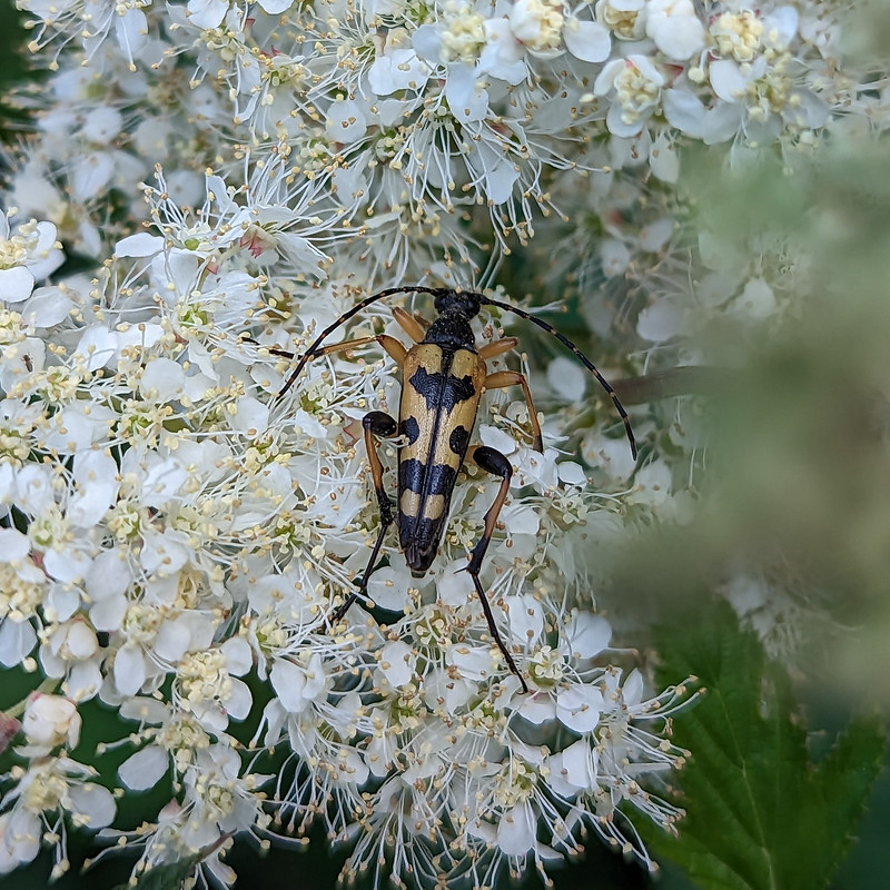
Rutpela maculata – the Harlequin or Spotted Longhorn Beetle.

Apparently these longhorn beetles, in their larval stage, live on dead wood for three years – then they get a fortnight in the sun to mate. They’re certainly very striking. The black and yellow markings seem to be very variable. I’m fairly confident that I saw beetles of this species several times this summer at Lambert’s Meadow, but this was the only time that I managed to get clear photos.
P1390115
One of the white-tailed species of Bumblebee.
P1390126
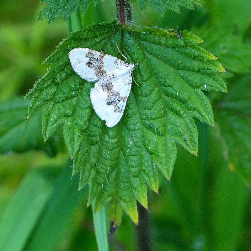
Silver-ground Carpet Moth.
P1390145
Seven-spot ladybird.
P1390150
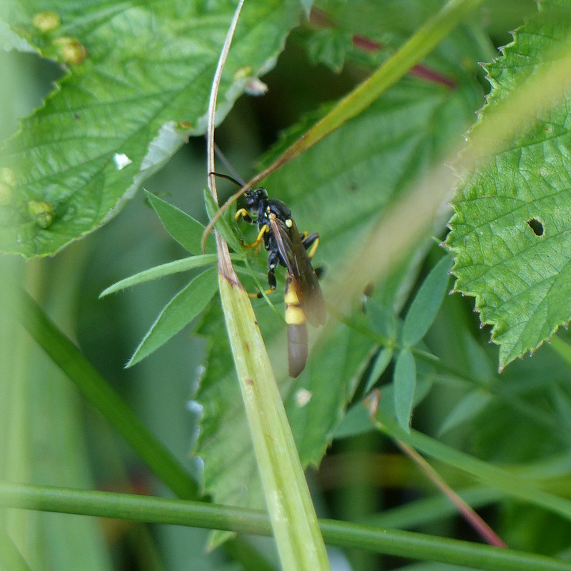
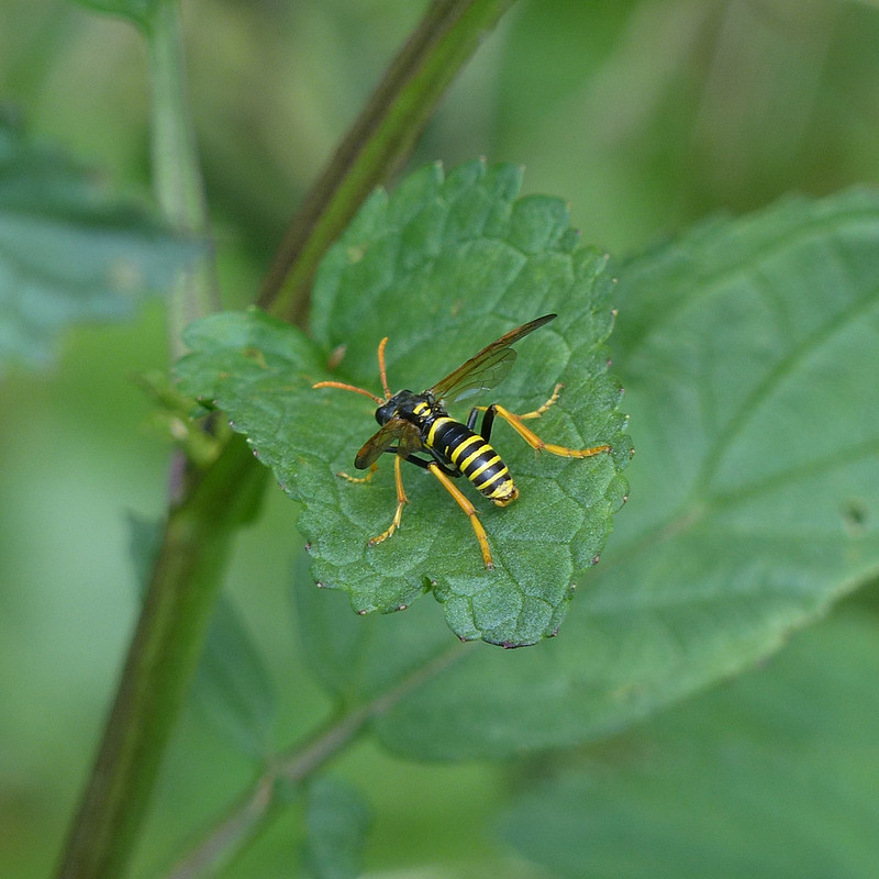
I think that this is an Ichneumon wasp, very tentatively a male Ichneumon xanthorius, but since there are around 2500 species of these parasitoids in Britain, and I am the exact opposite of an expert, you should probably take that identification with a lorryload of salt.
P1390152
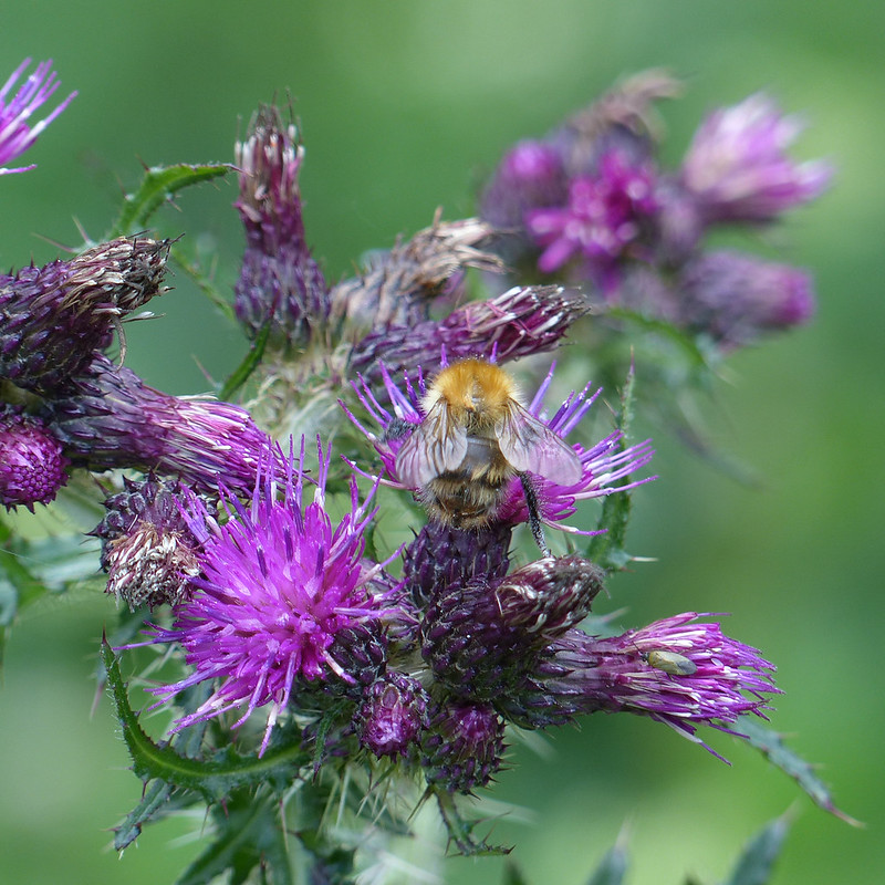
Bee on Marsh Thistles. Common Carder Bee?
P1390167
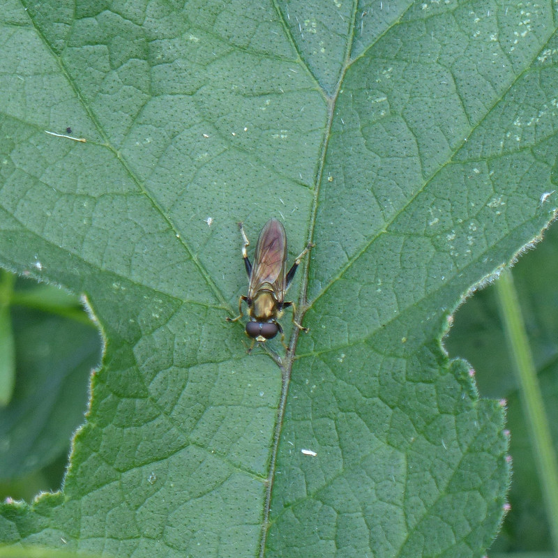
Hoverfly male Xylota segnis. A new species to me.
P1390178
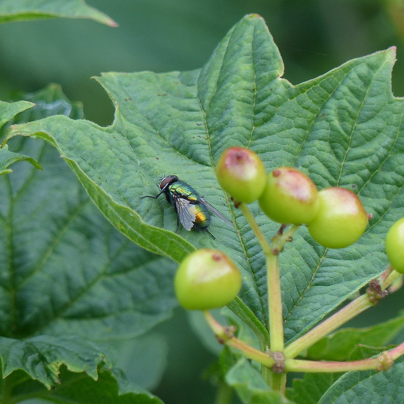
Green bottle fly.
P1390187
Figwort Sawfly.
P1390192
Figwort Sawfly.

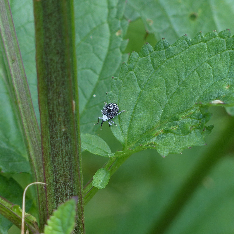
I’m hoping that the weevils and sawflies which live on Figwort, about which I was completely ignorant before this year, will become familiar sights now that I know where to look and what to expect. That has certainly happened with a wide variety of other species that I’ve become aware of over the years.

P1390199
Azure Damselfly – female.
P1390210
Figwort Sawfly and photo-bombing Figwort Weevil.
P1390212
Figwort Weevil and…?

The little green bug here has hind legs reminiscent of a grasshopper or cricket – but it’s so small, no bigger than the tiny weevil, that it can’t be one of those can it? Except, I’ve discovered, that grasshoppers and crickets undergo five moults, becoming more like an adult at each stage, so maybe this is a small hopper.

P1390213
Swirls of white, milk and dark…oh, no, it’s a White-lipped Snail.
P1390214
A wasp on unopened Figwort flowers.
P1390215
Figwort Weevil – very dapper markings.
P1390216
Figwort Weevil.
P1390221
Figwort Sawfly.
P1390222
Figwort Sawfly.

There were lots of Figwort Sawflies about. Plenty of Weevils too. Lots of damselflies also, but, for some reason, not many of my damselfly photos were very sharp.

P1390230
Small White Butterfly.
P1390236
Mating Figwort Weevils.
P1390239
Great Willowherb flowers.
P1390242
Comma Butterfly.
P1390253
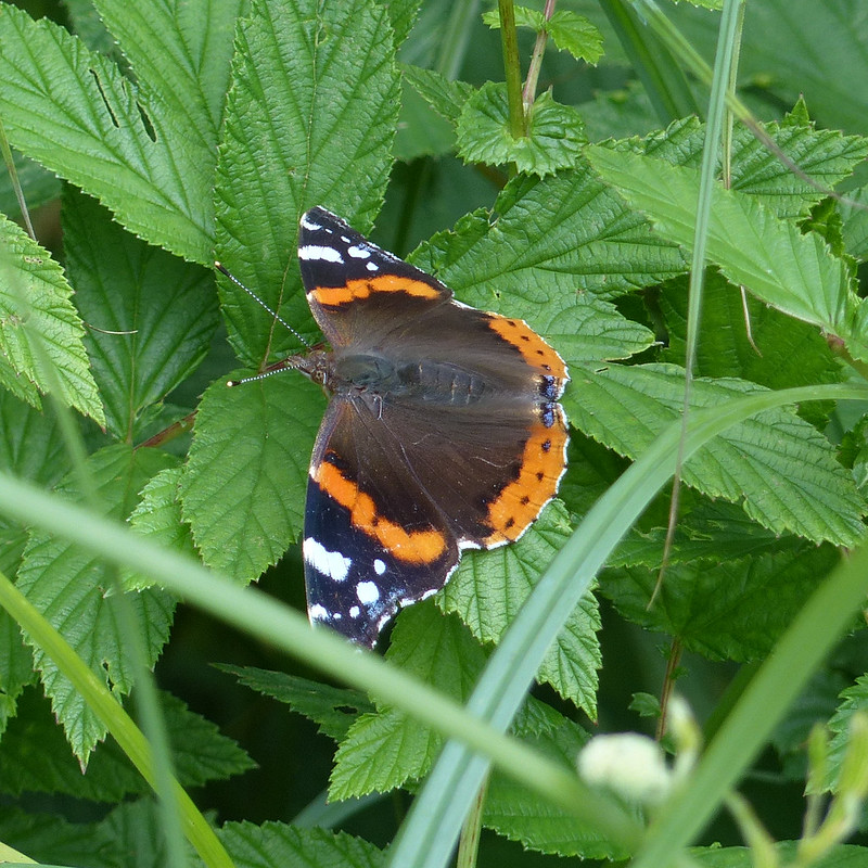
Red Admiral.
P1390264
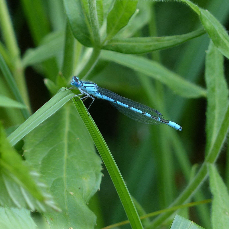
Common Blue Damselfly – male.
PXL_20230701_142317210
Yellow Flag Iris seed pods.
PXL_20230701_154940280
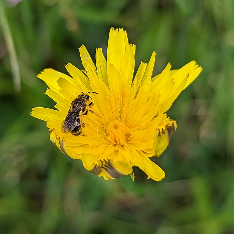
A solitary bee – possibly a Mining Bee of some description.
PXL_20230701_160710261
Hawes Water – wide angle.

I had five cameras with me on my walk. My Panasonic and the four in my phone. I didn’t use the selfie camera on this occasion. The other three are labelled as -7, x1 and x2. How come a zoom is a multiplication, which makes sense I suppose, but a wide angle is a subtraction?
I’ve found myself using the -7 camera as lot. It’s not as powerful, in terms of the huge numbers of megapixels on offer – but I like the perspective it often gives.

PXL_20230701_160713597
Hawes Water – standard camera.
PXL_20230701_160717272
Hawes Water – zoom.
Another Slow Walk (or Two)