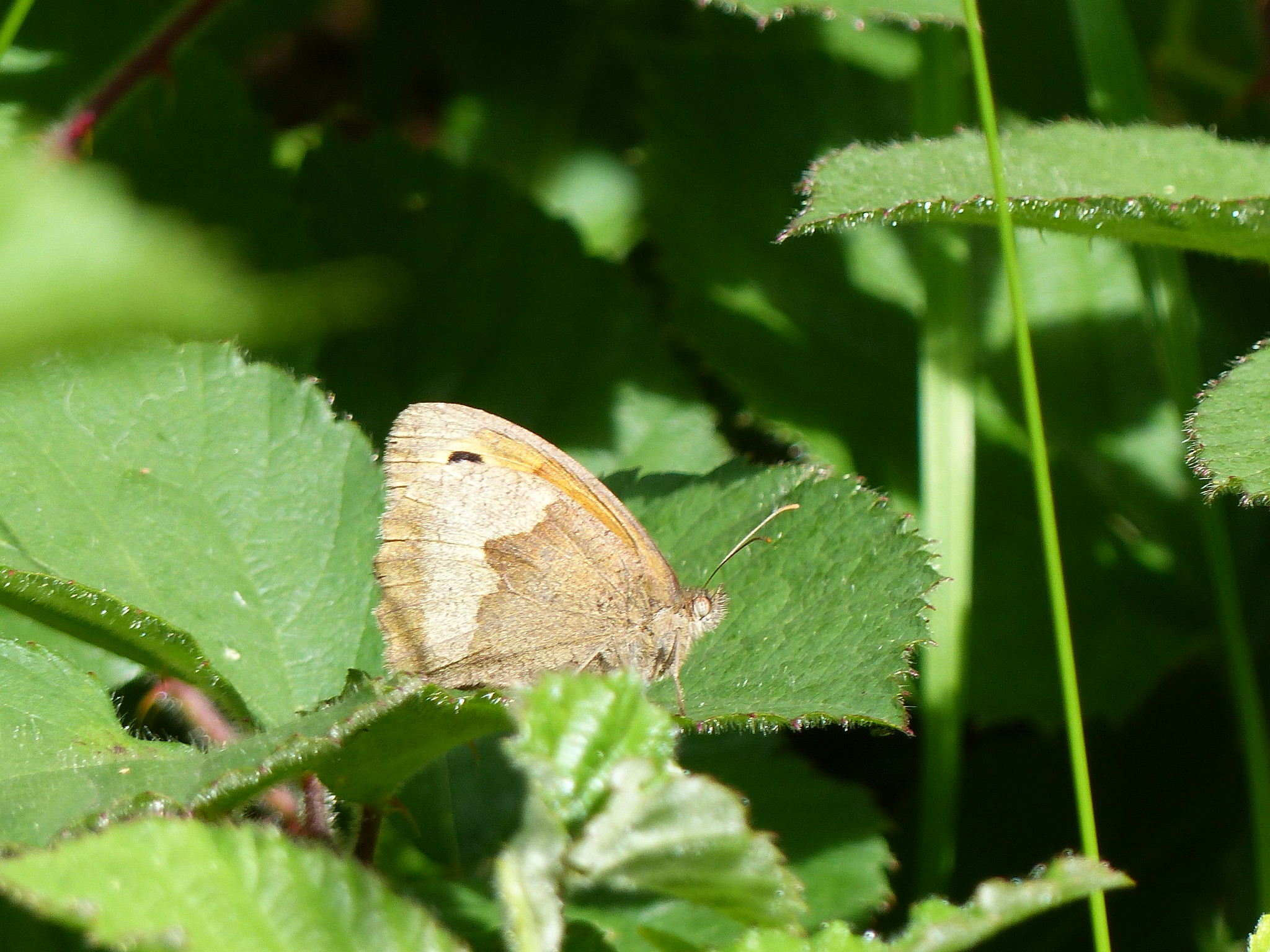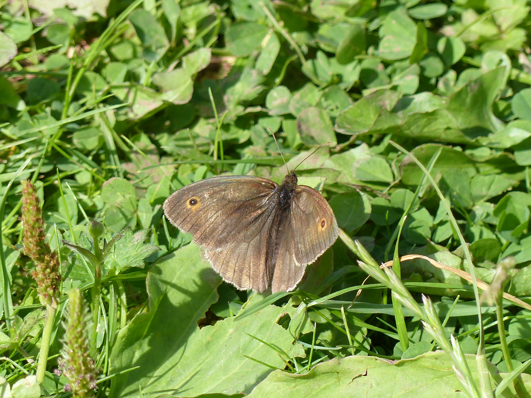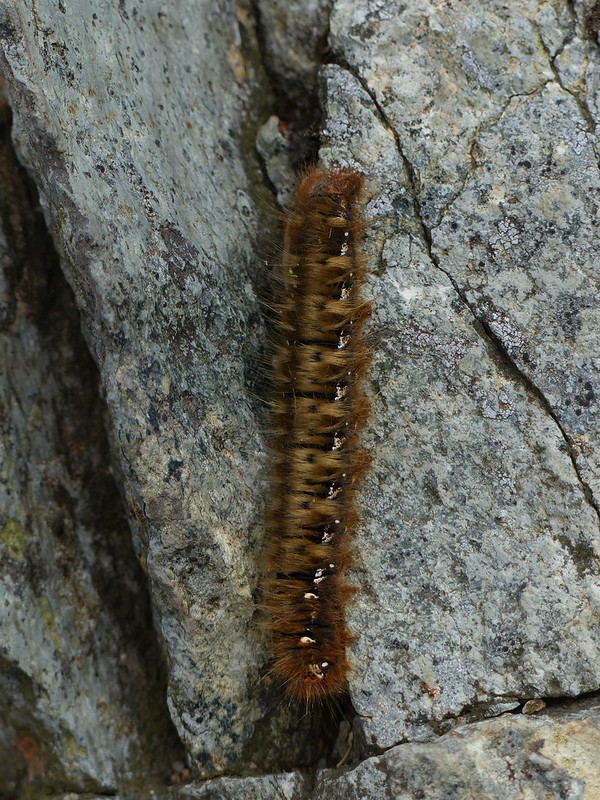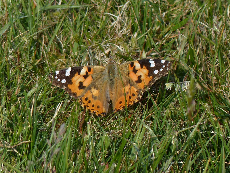
Painted Lady.
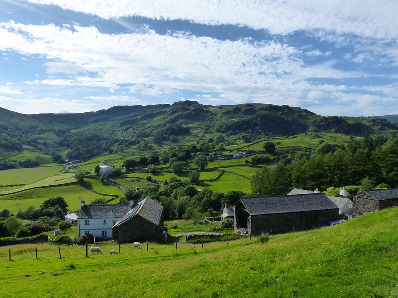
A hot and slightly sticky evening, after a hot and slightly sticky day at work. The forecast was for the weather to deteriorate, but not out in the Western lakes, so I’d driven round for an evening ascent of Black Combe. There’s a spot to pull off the main road just by Beckside (see map at the bottom of the post) and from there I’d followed the path to Fox and Goose Cottages and then uphill on a path between two hedgerows which seemed in danger of disappearing under the greenery; I wondered whether I might end up regretting the fact that I was wearing shorts and not armed with a machete, but I managed to emerge relatively unscathed. (It’s not just nettles that I need to avoid – I tend to react quite badly even to grass seed-heads).
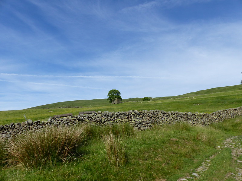
A surprisingly broad track curls up around the hillside and I was very glad of it’s reasonably gentle gradient. The bracken was busy with insects, among them many small butterflies or moths, but none were obliging when my camera was in hand. Not, that is, until I reached more open ground close to the ‘summit’ of White Hall Knott (spot height 311m on the map). In that area a couple of Painted Ladies were displaying quite cooperatively.
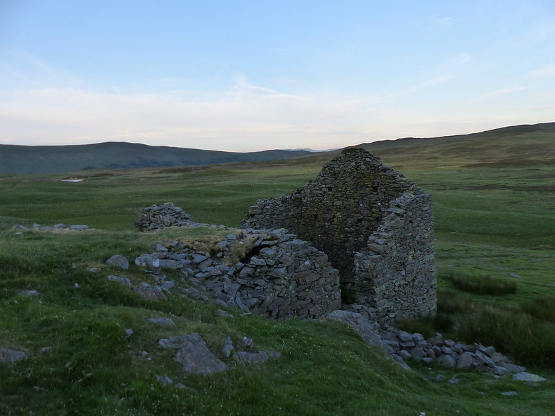
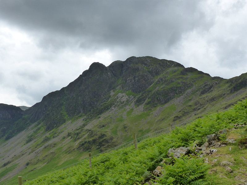
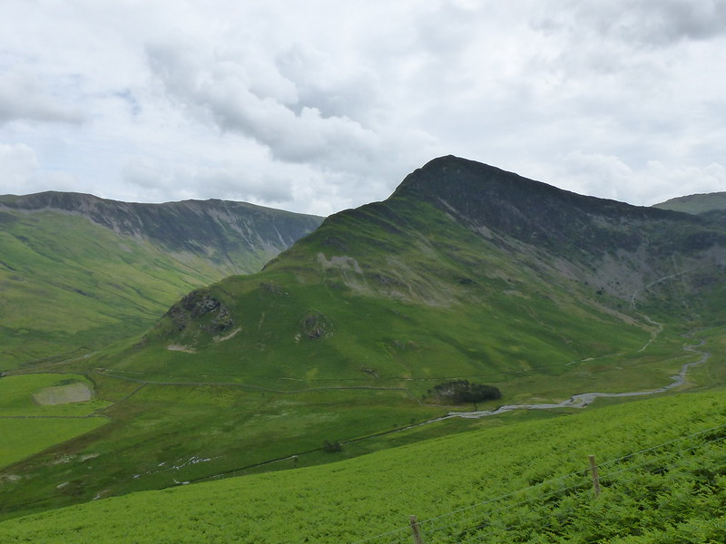
White Hall Knott is one of those Birketts which, with only a single, solitary contour to call its own, looks, on the map, like a rather arbitrary choice. In the flesh, it’s quite appealing…

White Hall Knott.
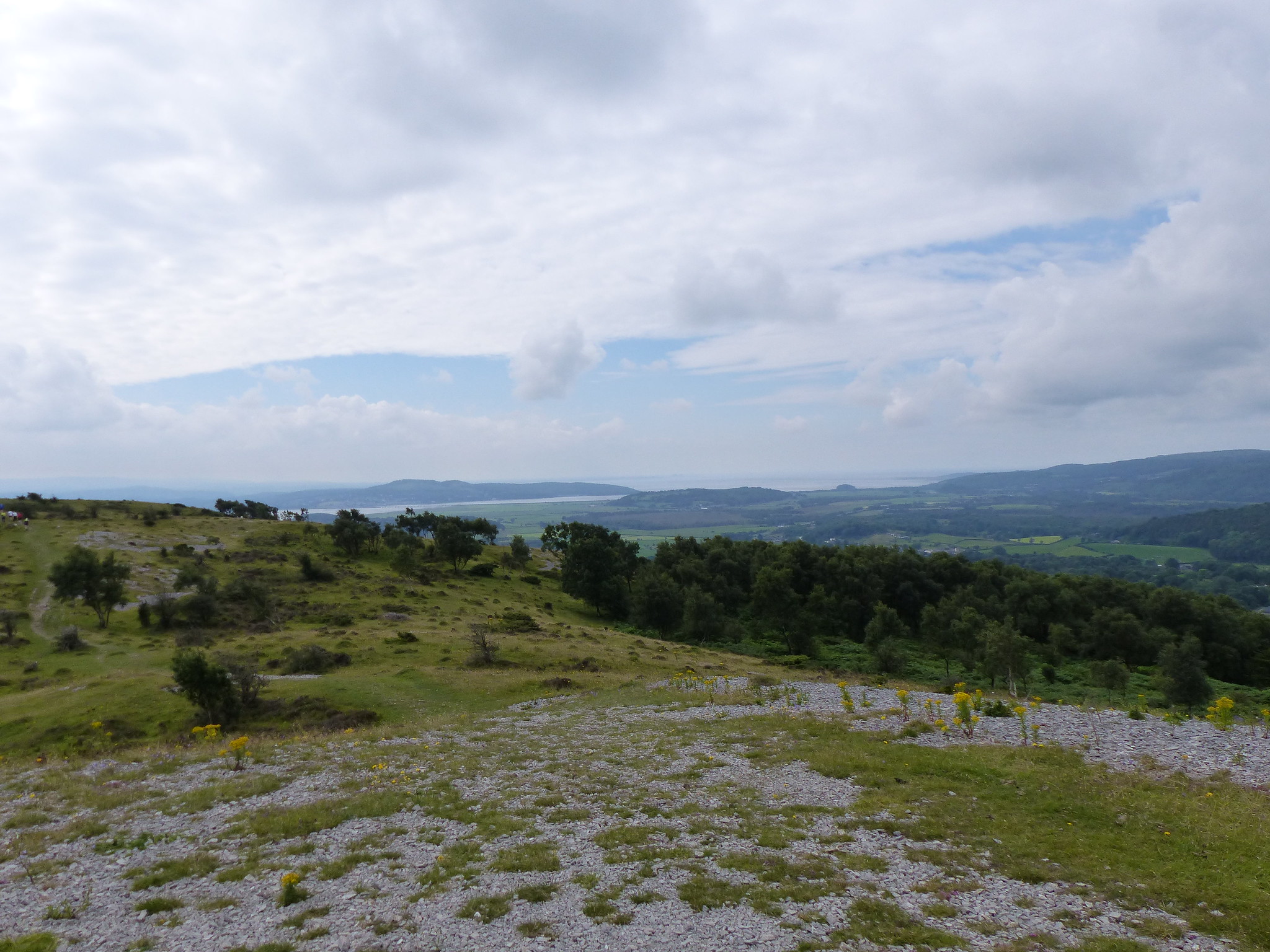
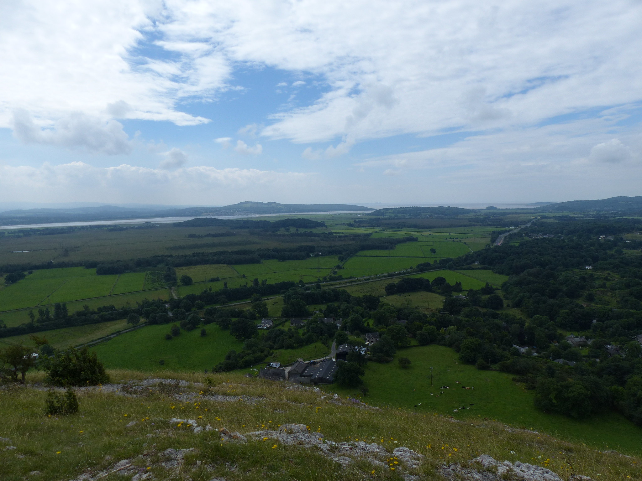
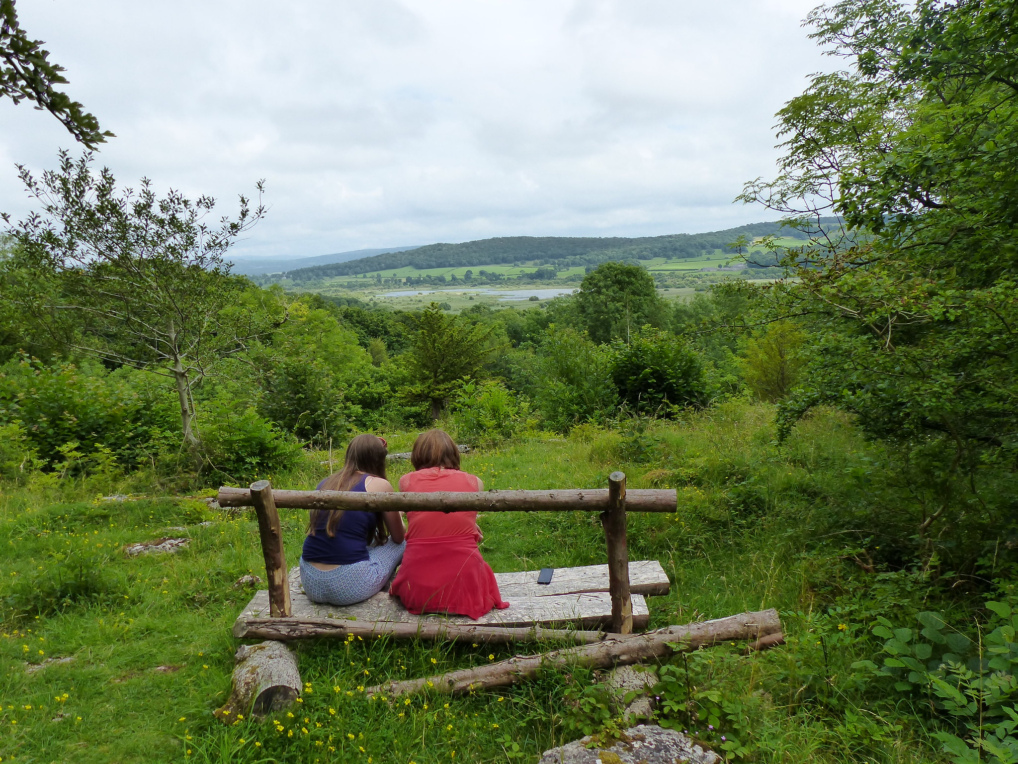
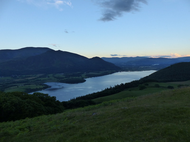
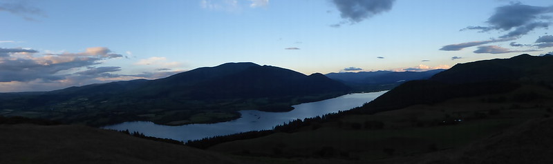
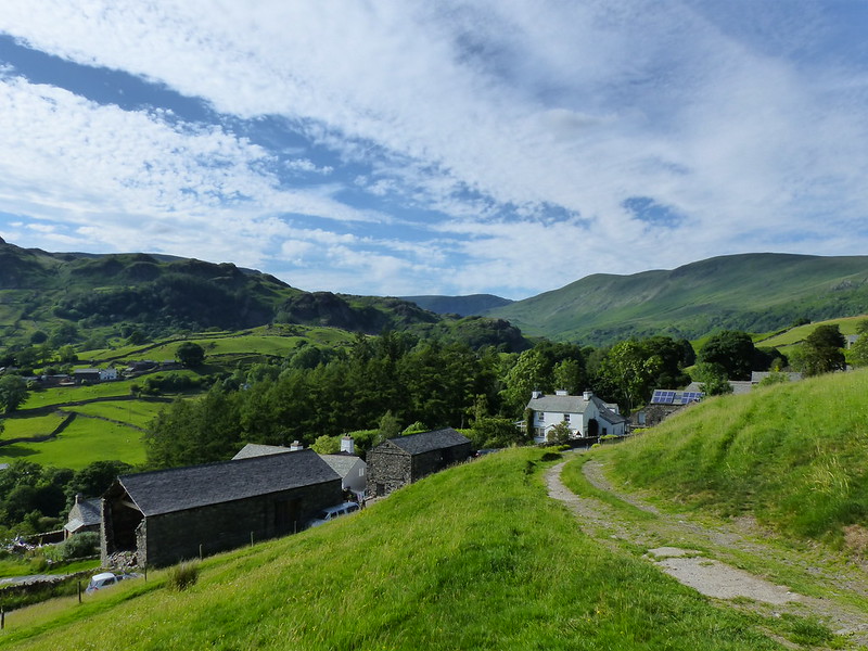
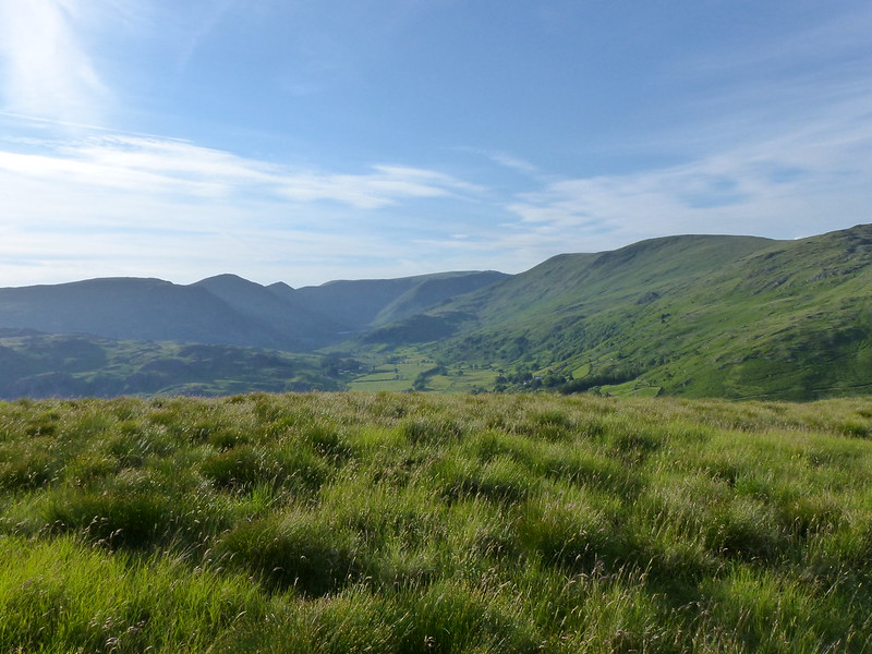
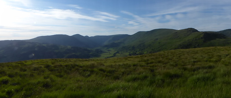
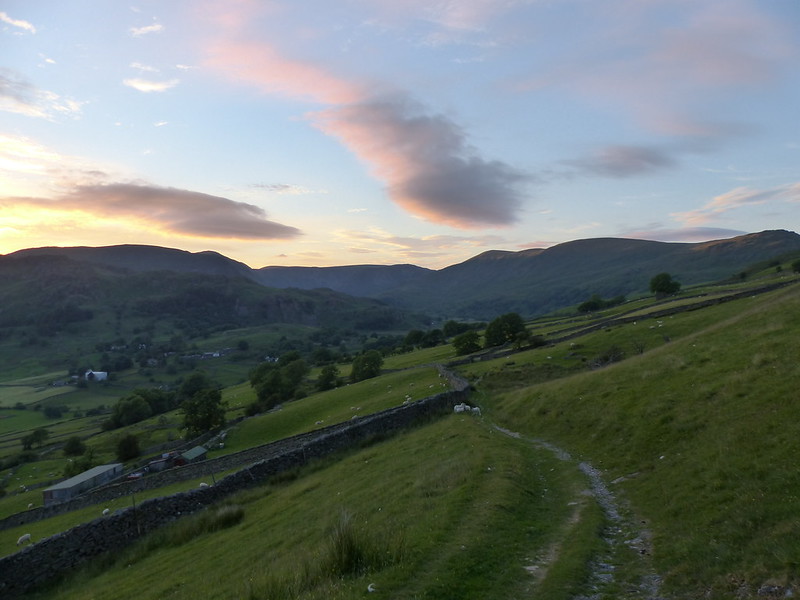
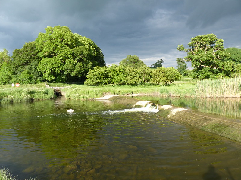
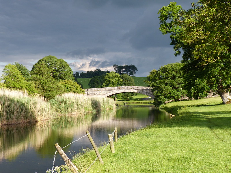
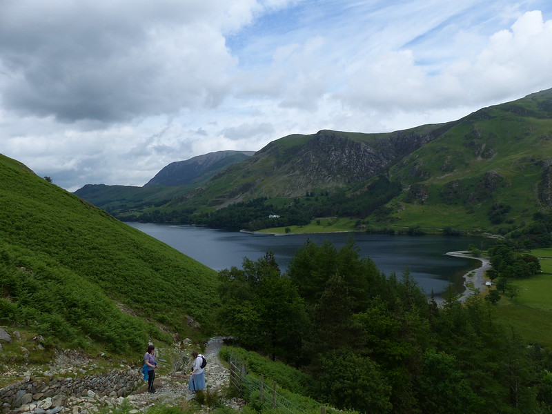
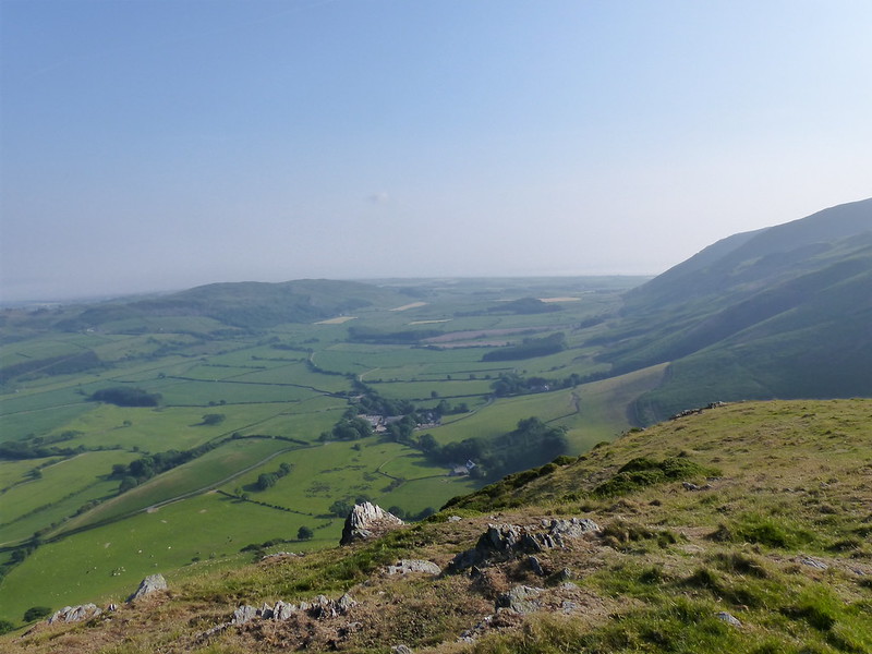
And, even on a hazy evening, it has a pretty admirable view down the Whicham Valley…
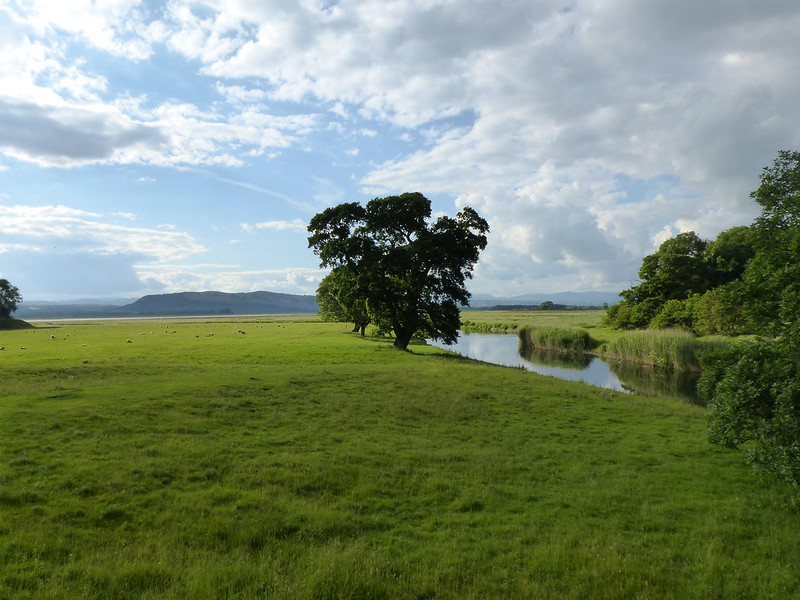
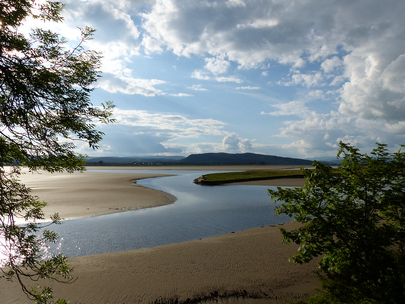
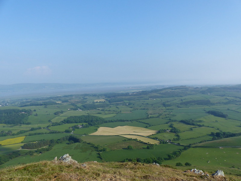
…and across to the Duddon Estuary…
Some aspects of the ascent had put me in mind of another hill, a firm favourite of mine, Carn Fadryn on the Llyn Peninsula – a broad and gentle path, bracken busy with orange butterflies and day flying moths, some hints of bilberries (although not nearly as abundant as on Carn Fadryn), views to the sea and Painted Ladies at the top.
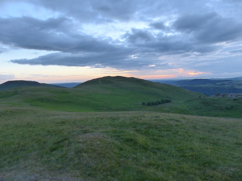
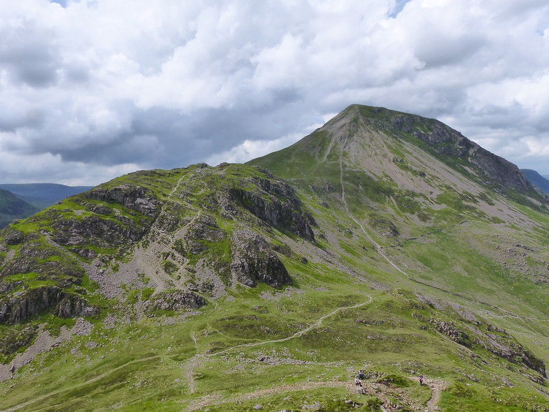
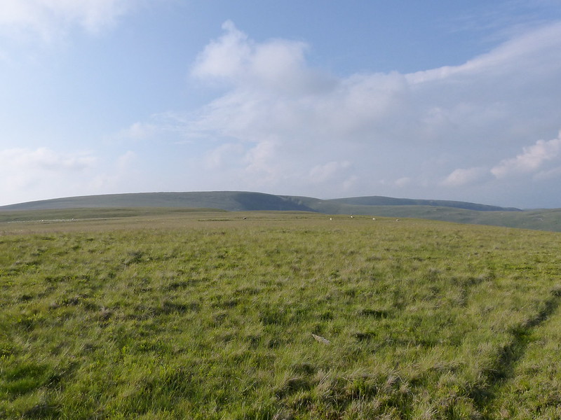
As I plodded up White Combe…

…I was wondering about Painted Ladies. These were the first I’d seen this year. Although we get them in our garden at times, in previous years my first sightings have often been on top of Carn Fadryn. Painted Ladies, like Monarch butterflies in North America, migrate over several generations. Although the migration of Monarchs is more famous, Painted Ladies migration is much further, beginning in Africa and ending north of the Arctic Circle. The existence of a return migration was only confirmed in 2012, it had been missed because the butterflies can fly quite high, at an average altitude of over 500m on their southbound trip. This made me wonder whether they use coastal hills, or maybe just hill-tops generally, as navigational aids, or maybe just as staging-posts on their mammoth journeys?
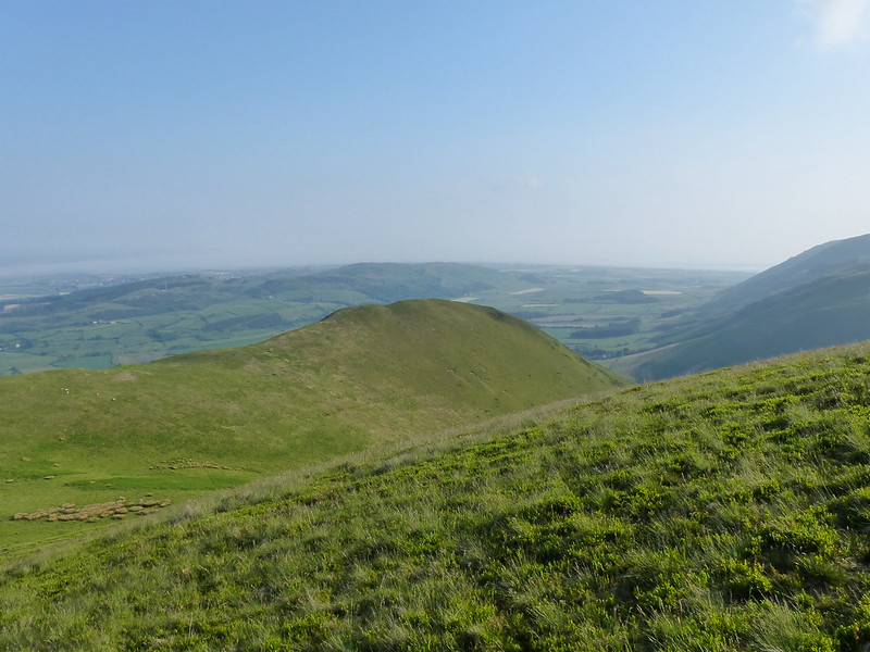
Looking back to White Hall Knott.
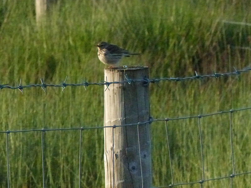
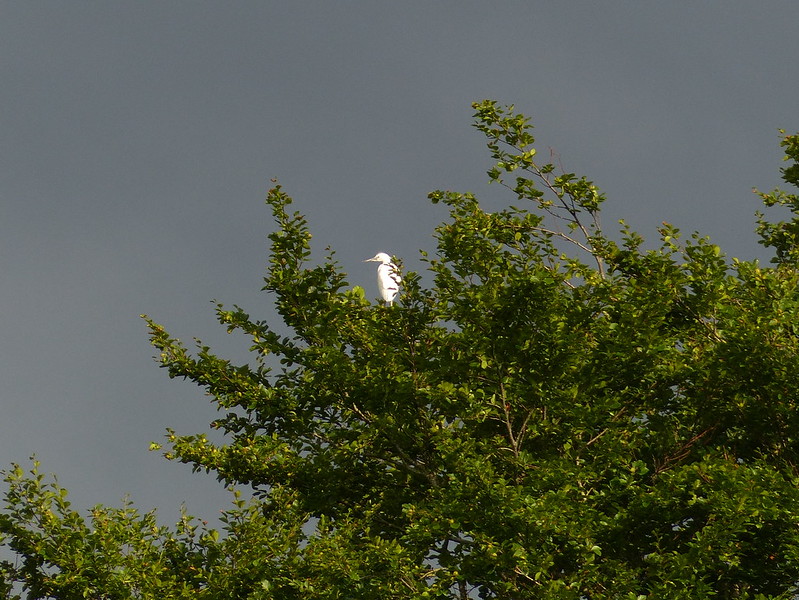
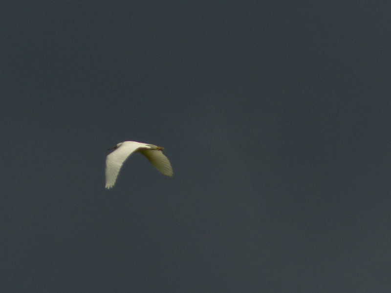
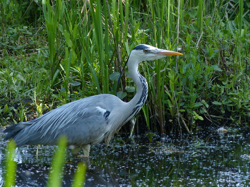
As well as the butterflies, the hillsides and skies around were busy with birds – Wheatears, Meadow Pipits and Skylarks. I think that this…
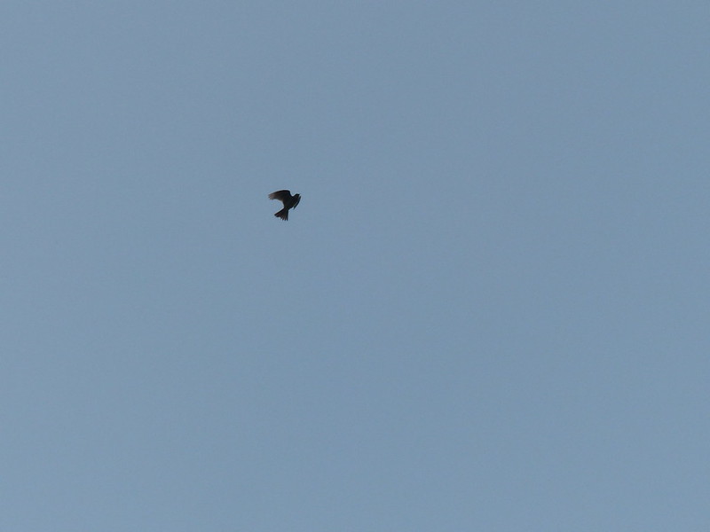
…was the latter. Not a very sharp photo I know, but it does demonstrate their steep, singing, display flight which is so characteristic of the hills at this time of year.
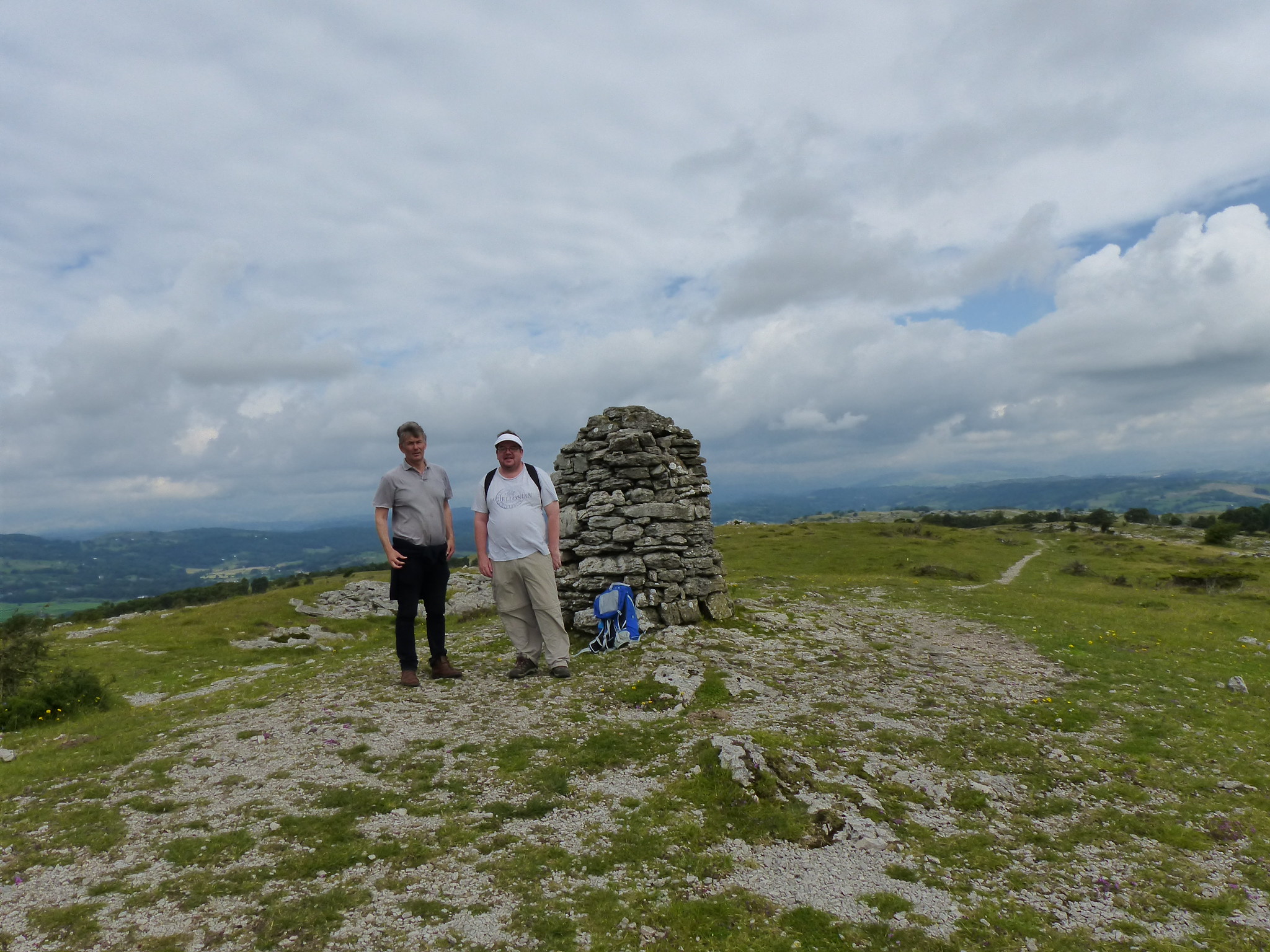
White Combe is not really a summit at all, just the end of a long broad shoulder, but it does have a substantial cairn…
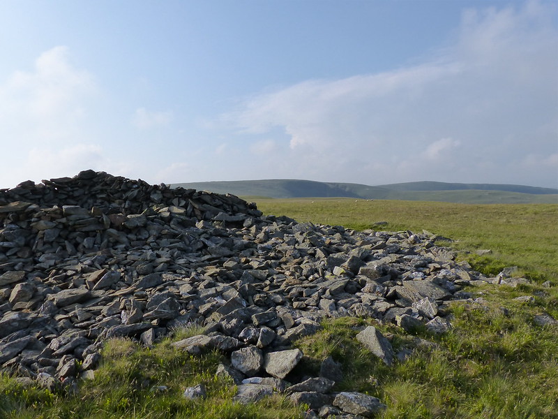
And guess what, at least two resident Painted Ladies…

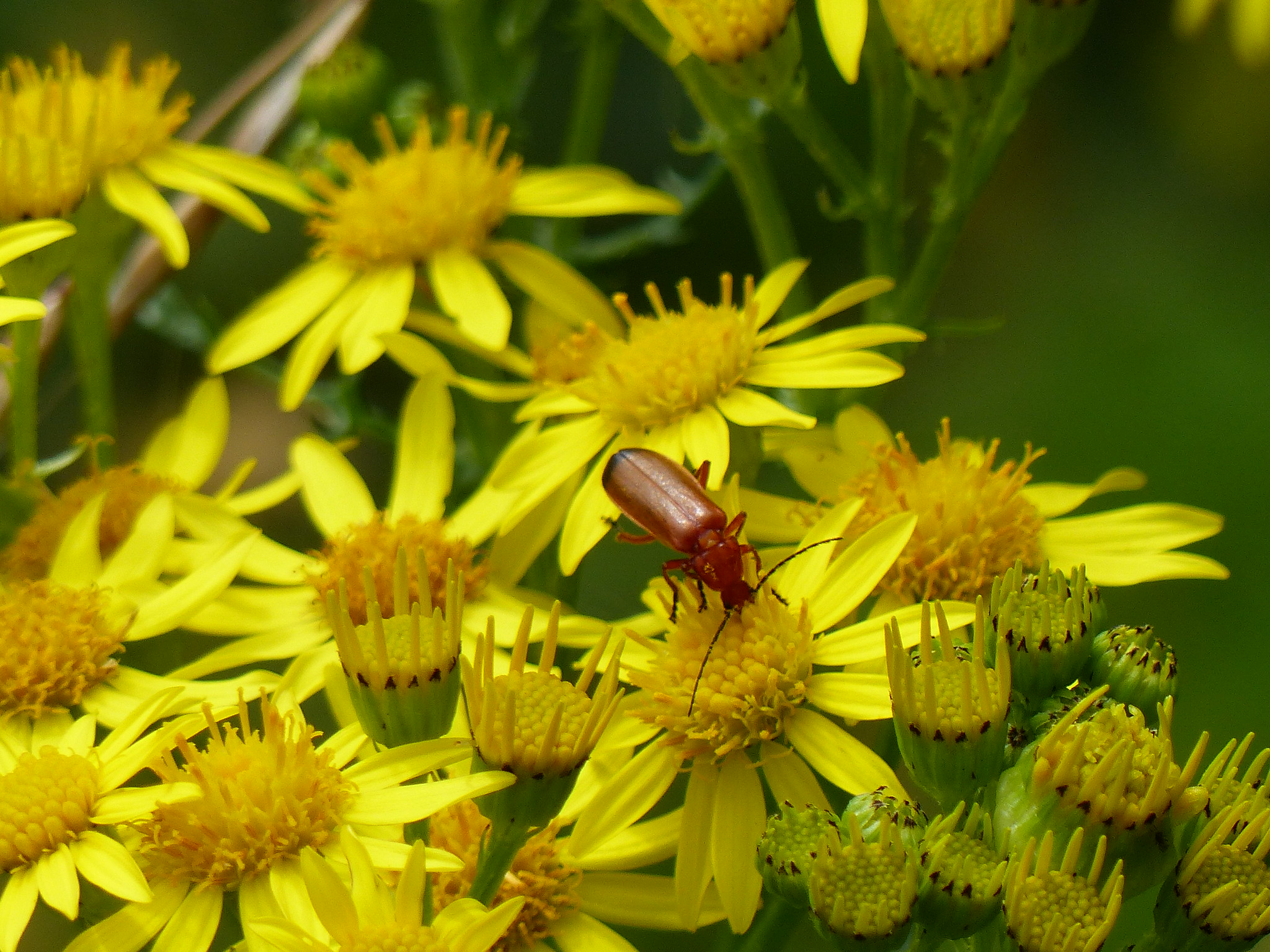
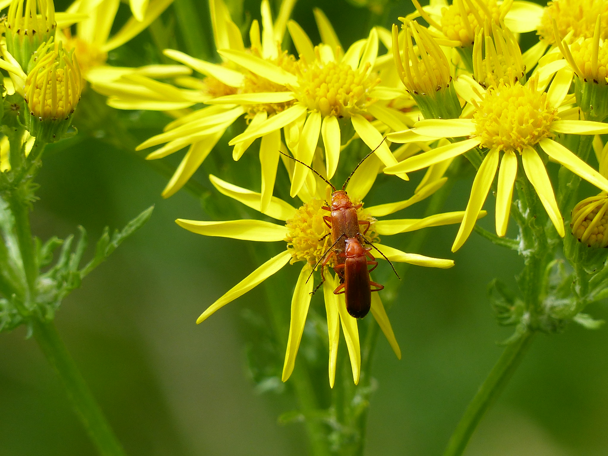
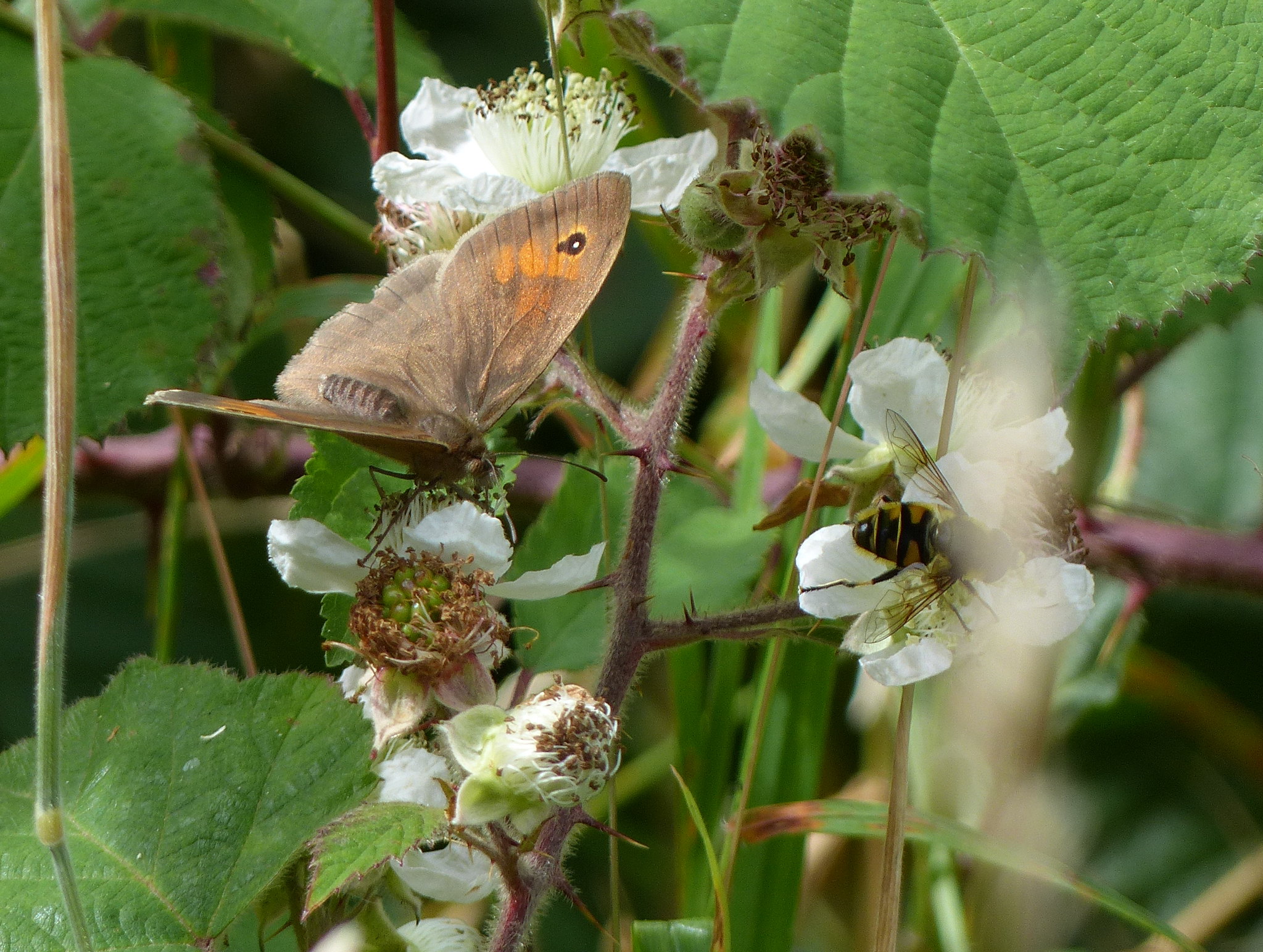
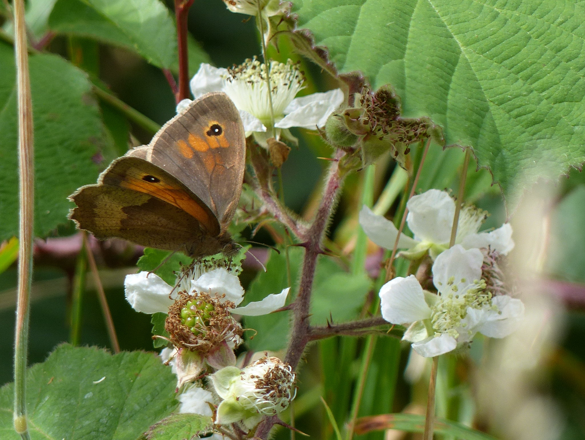
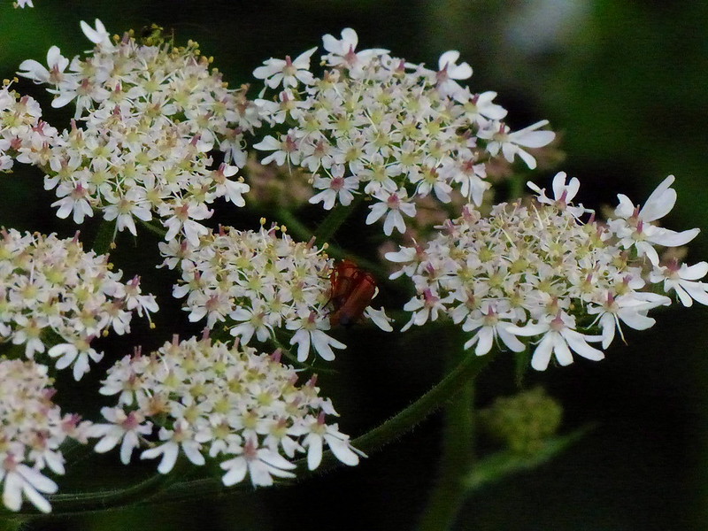
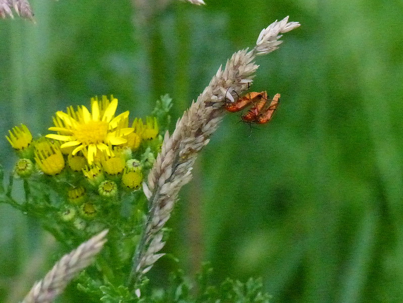
The Red Admiral is another migratory butterfly, a close relative of the Painted Lady.
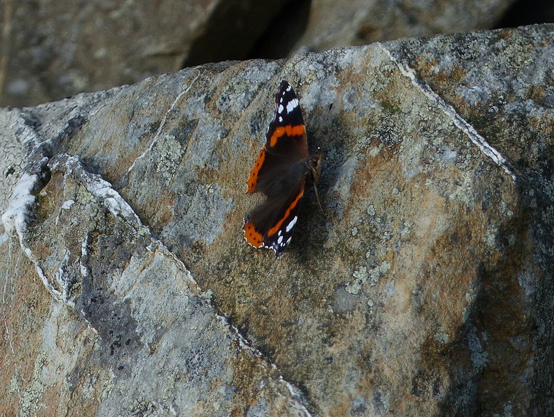
They don’t seem to share any familial affection however: every time the Red Admiral landed, one of the Painted Ladies would fly at it and drive it off. Which is something else I’ve previously observed on Carn Fadryn.

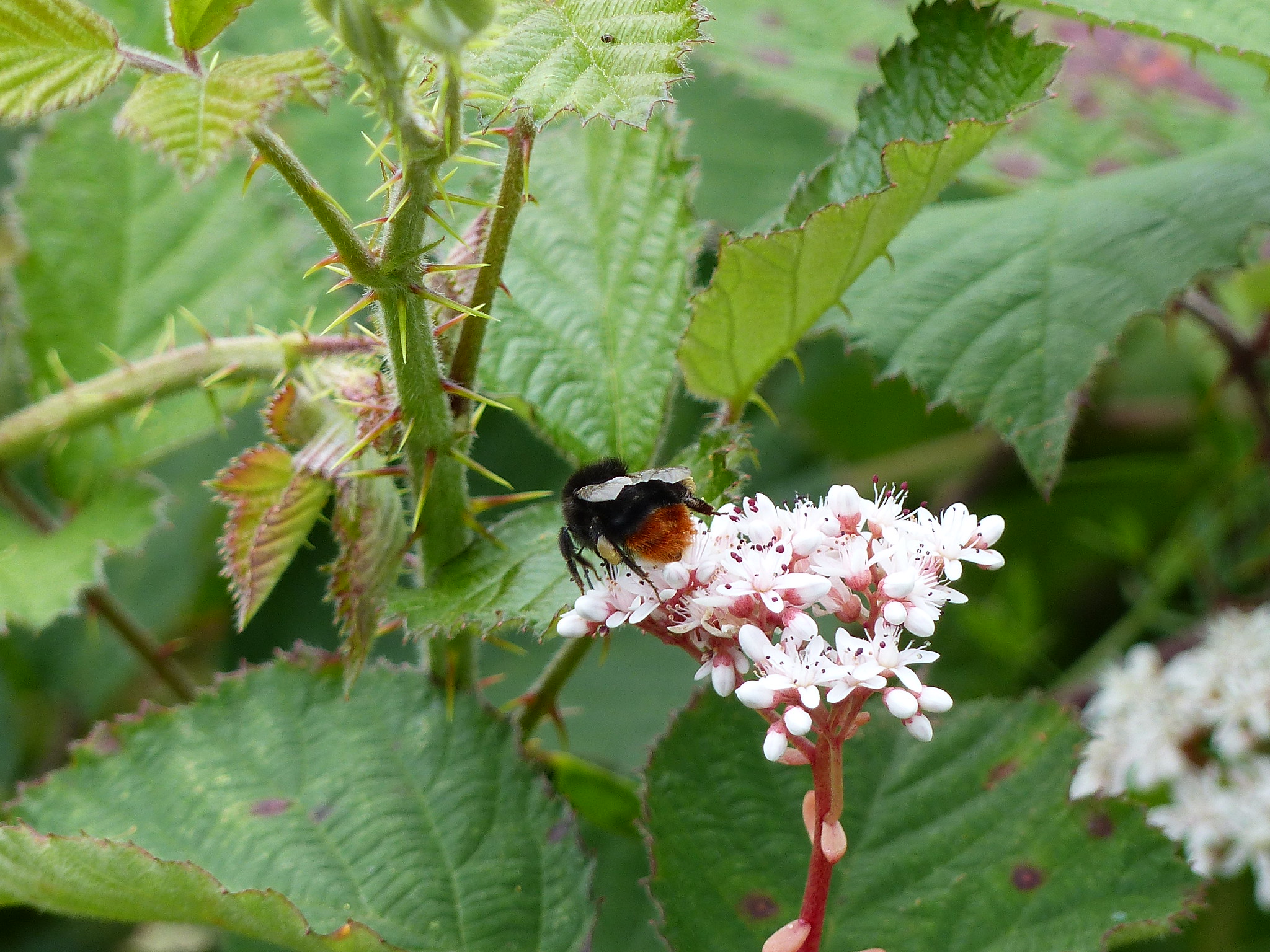
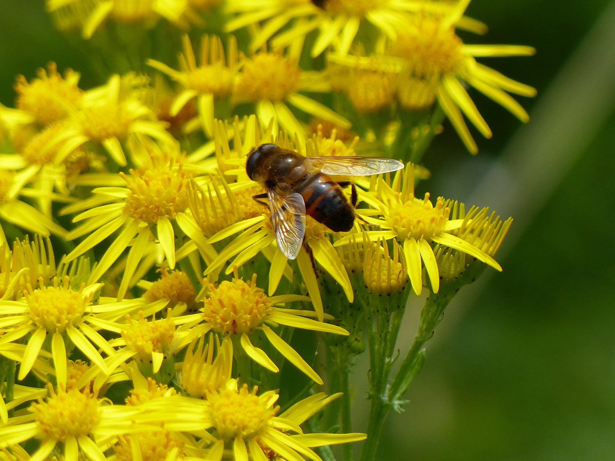
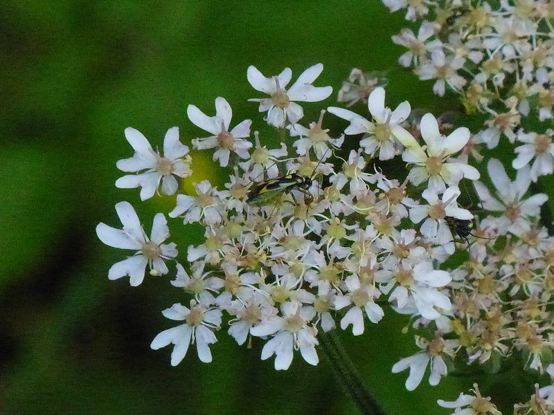
There were quite a number of hoverflies about too. This one might be Sericomyia Selintis. But, then again, it might not.
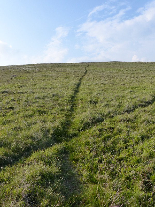
From White Combe a longish and levelish and very enjoyable plod followed, heading for Stoupdale Crags.
Thin, but pronounced, paths made the going easier than it might otherwise have been…
Stoupdale Crags turned out to have one of those plateaued tops where every knoll looks slightly higher than the one you are currently occupying.
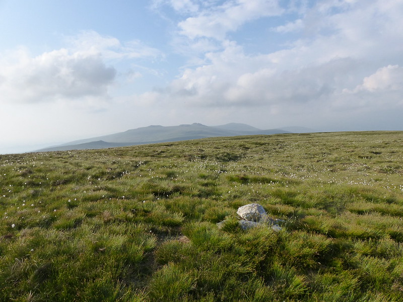
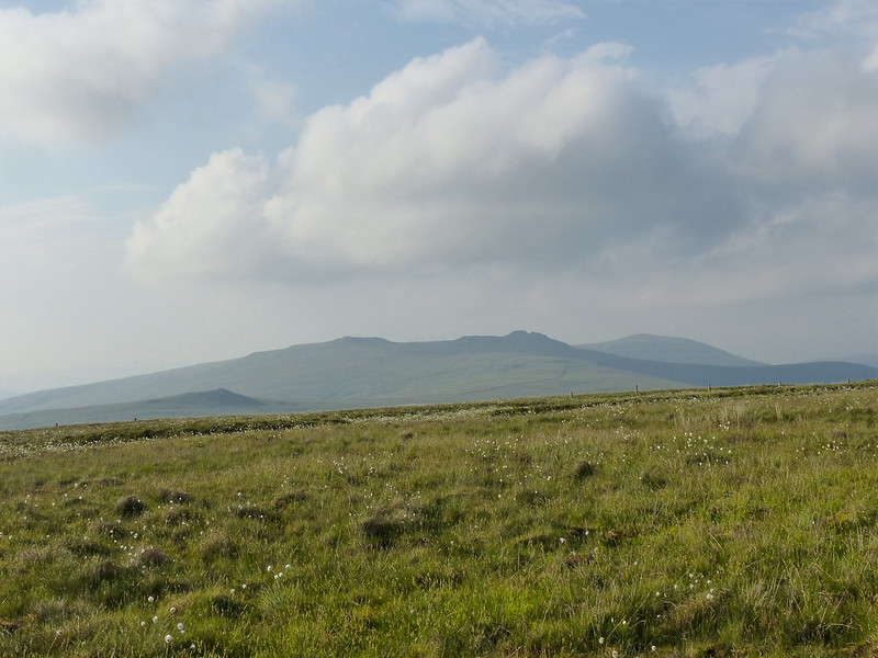
Buck Barrow and Whitfell from Stoupdale Crags.
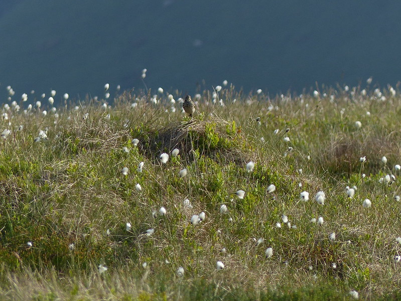
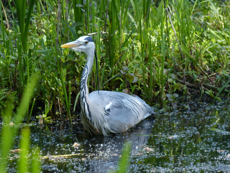
Meadow Pipit (I think) amongst Cotton Grass.
For another Day: Stoneside Hill, Kinmont Buck Barrow, Buck Barrow, Whitfell, Plough Fell.

The way ahead: Whitecombe Screes, Blackcombe Screes and Black Combe from Whitecombe Head. The left-hand skyline would be my descent route.

A shiny ground beetle (which I can’t find in my field guide).
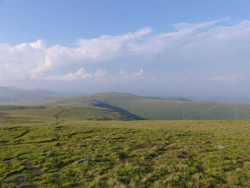
Looking back to Stoupdale Crags.
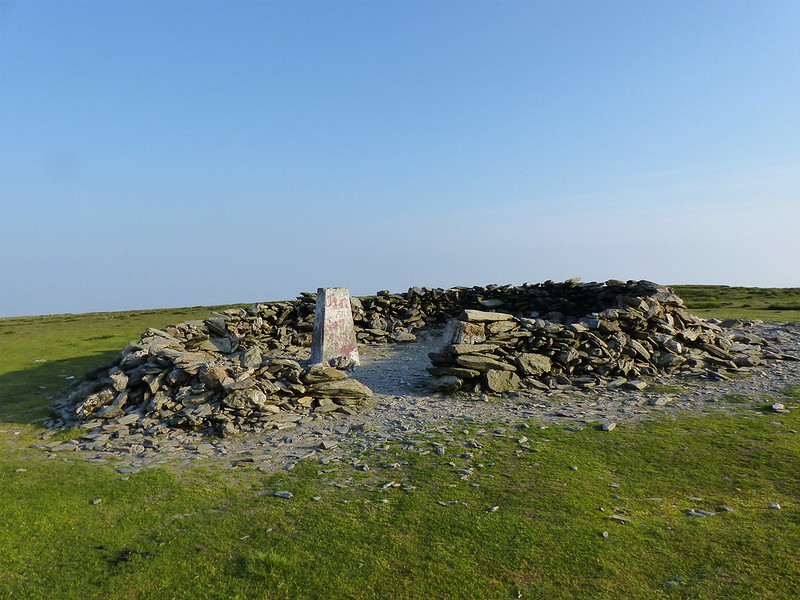
Black Combe summit.

Black Combe South Summit.
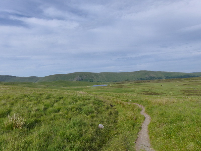
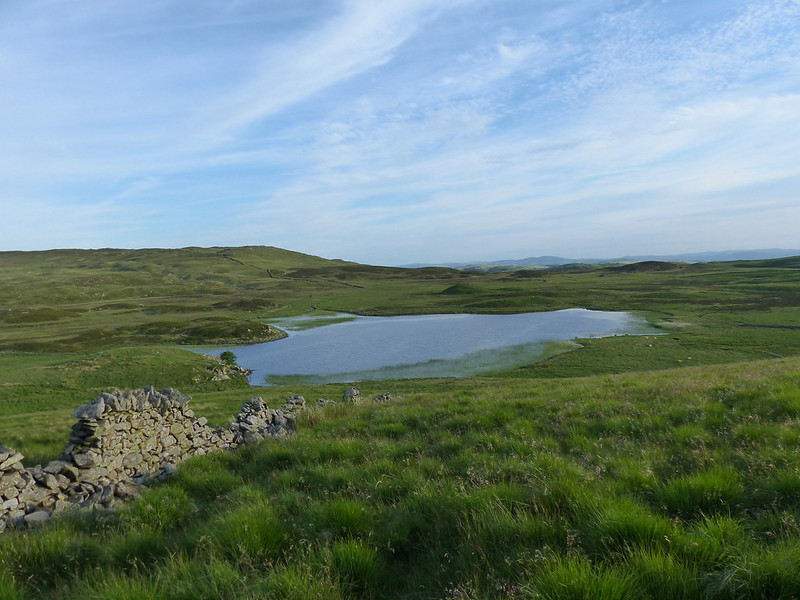
I’m pretty sure that the last time I was up here, I camped by this little tarn. That was another summer-evening, post-work outing, but on that occasion a Friday night and hence the freedom to camp out and stop to have breakfast on Black Combe.
Tonight, I still had tea in my bag – a humongous pasty I’d bought, on the drive over, from the excellent bakers in Broughton-in-Furness. (A Community not a Shortcut say the signs on the edge of the village).
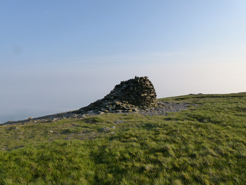
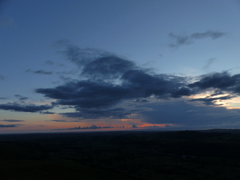
I sat by this enormous and slightly ramshackle cairn to eat it, with a view of the blanket of low stratus stretching away over the Irish Sea and sending a finger of cloud up over the River Duddon.
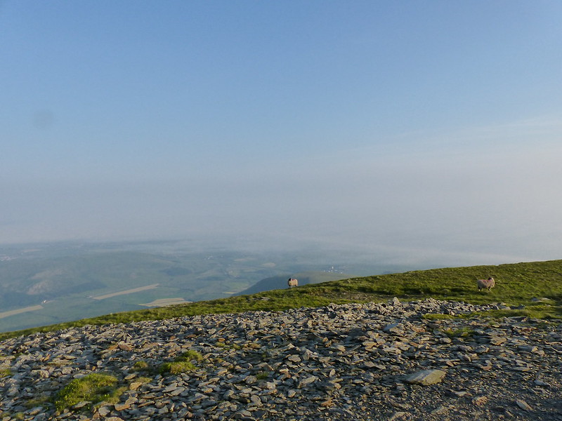
Sadly, it was much too murky to really appreciate what would have otherwise, I suspect, been a pretty spectacular sight.

I know that this is already a relatively long post, by my modest standards, but I’m going to digress slightly to recommend another book which seems to me at least tangentially relevant to a blog about walking; I recently read ‘The Invention of Clouds’ by Richard Hamblyn; it’s ostensibly a biography of Luke Howard the amateur scientist who devised the familiar nomenclature used for clouds, but it digresses into the previous and subsequent history of nephology – the science of clouds – the status of the great Nineteenth Century populisers of science, like Humphrey Davy, the early history of ballooning and much more. I found it absolutely fascinating.
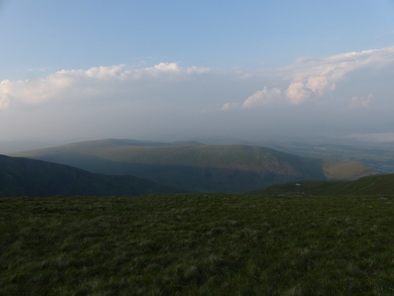
Looking back to Stoupdale Crags and White Combe.
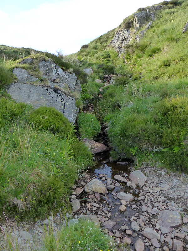
On my descent I initially followed the edge of the crags heading almost due East, but then found quite a good track, I would guess quite an old one, which made for easier walking, but which took me further south, down towards Hallbeck Gill (a tautological name). Eventually I had to contour round the hillside to get back on course for Whitecombe Gill. Next time I come this way, I’d like to try the ridge between Blackcombe Screes and Whitecombe Screes, which according to the OS 1:25000 is called Horse Back. (And incidentally, I wonder what kind of feature is Eller Peatpot, also named on the OS map?)
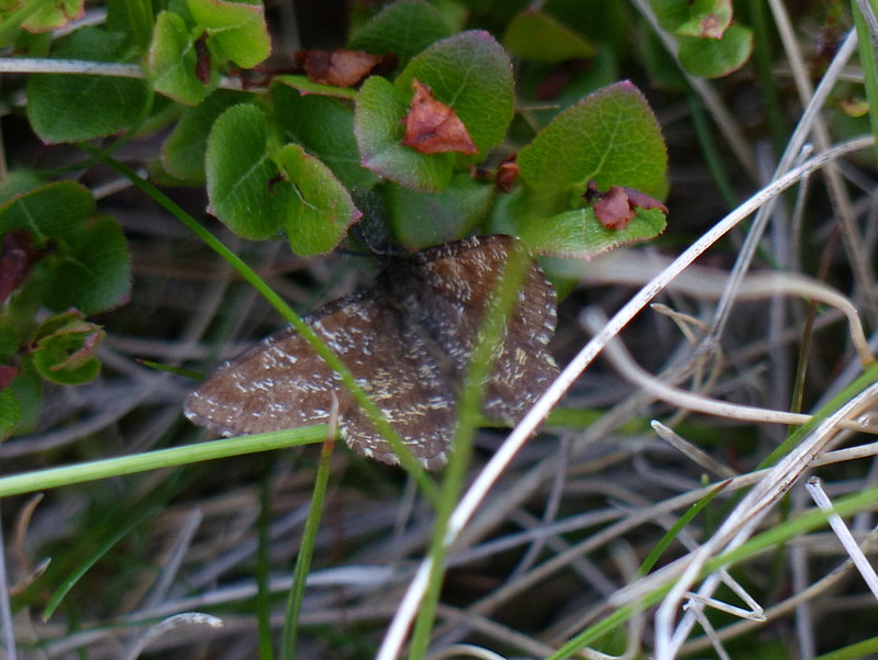
As yet unidentified moth.