‘Back to work’ a three word phrase perhaps as dispiriting as ‘replacement bus service’? (see the comments a couple of posts back!). But all good things, including long summer teaching holidays, have to come to an end I suppose.
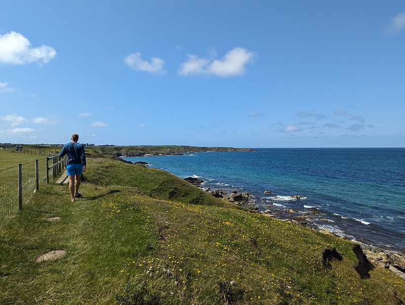
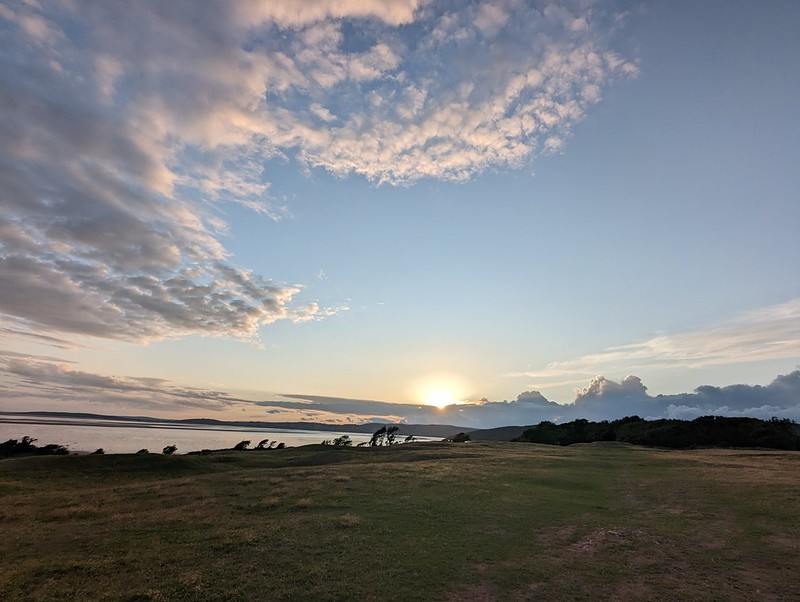
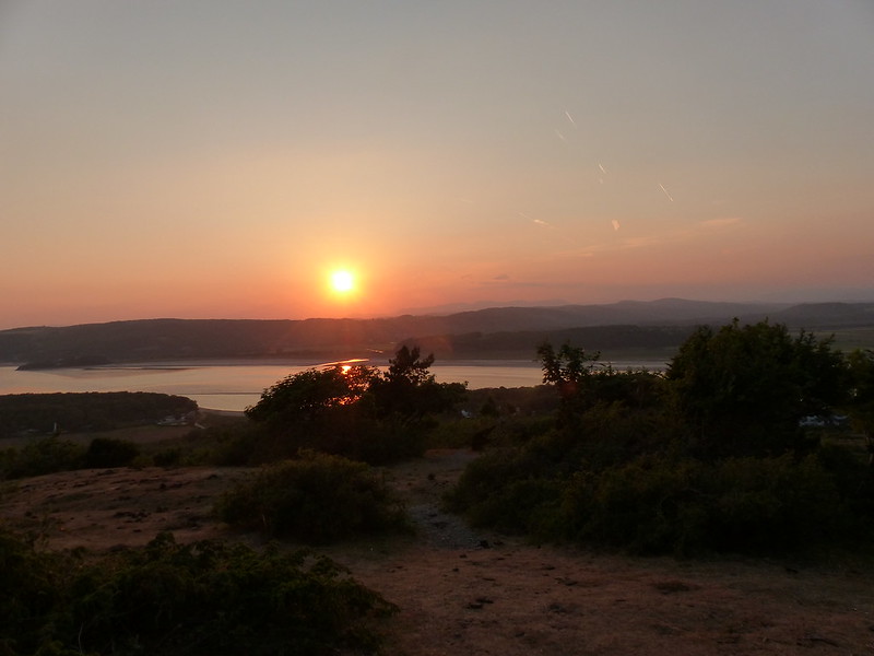
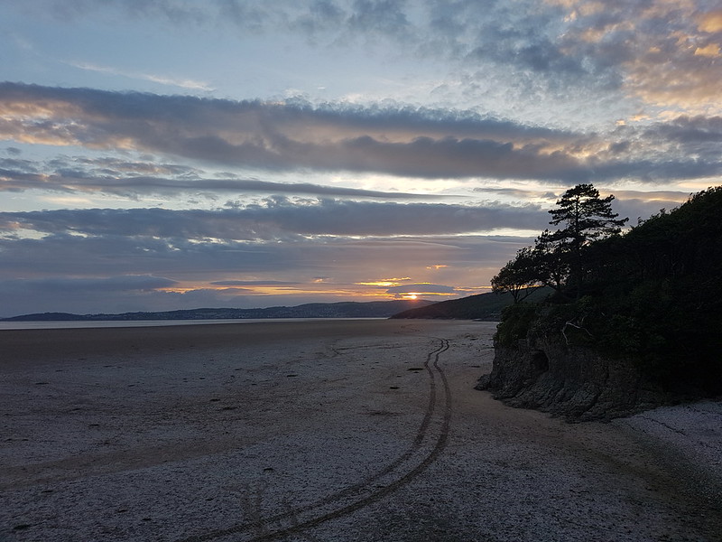
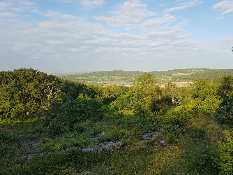
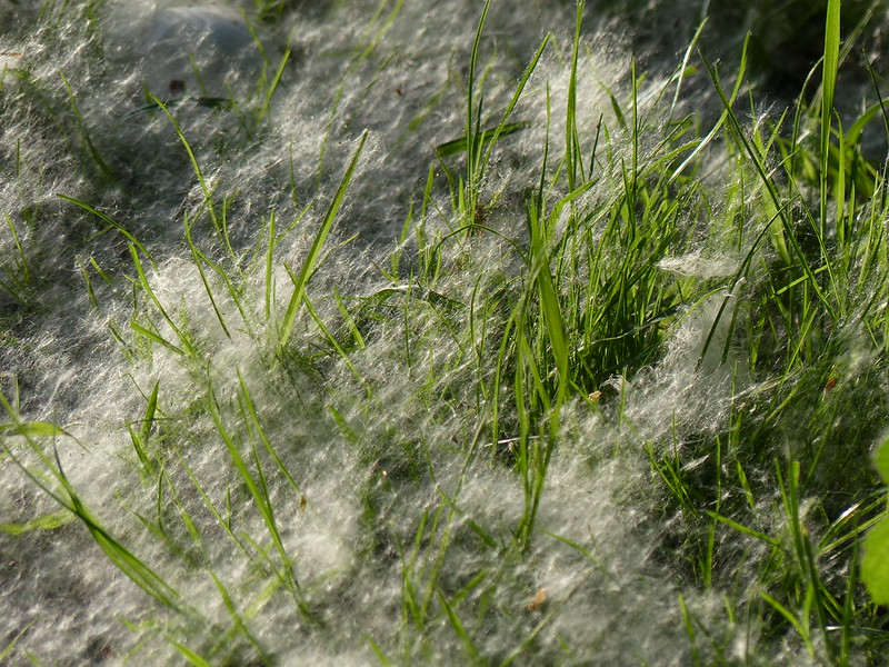
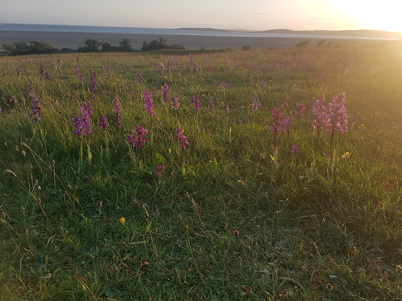
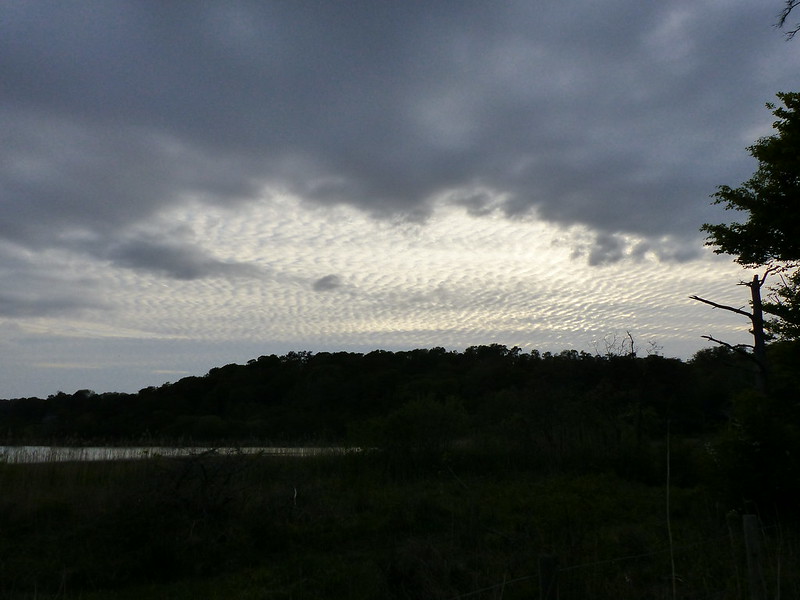
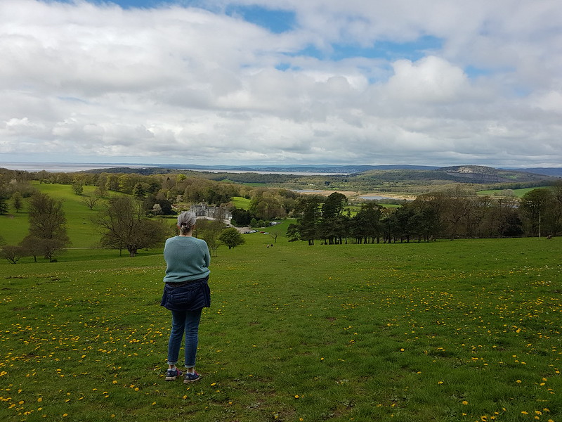
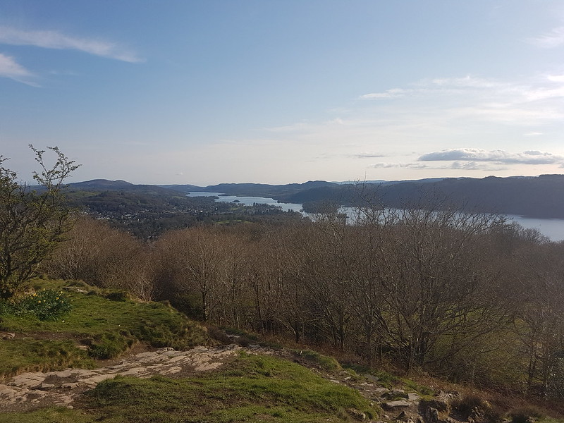
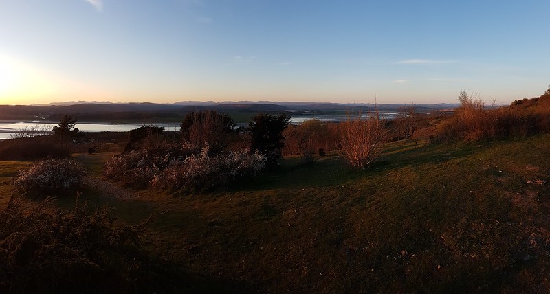
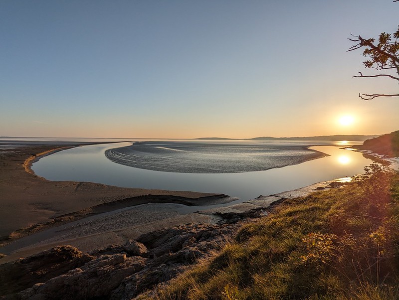
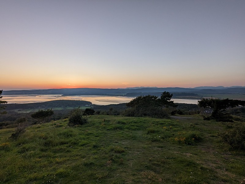
To add insult to injury, the weather in the first week of September usually takes a turn for the better after the damp squib which has been August. Certainly our first Monday at least was lovely. Starting how I meant to go on, I got out that evening for an ascent of Arnside Knott. The following evening I was out on my bike, after that my resolve seems to have crumbled – or probably the weather returned to our new norm of rain, rain and more rain.
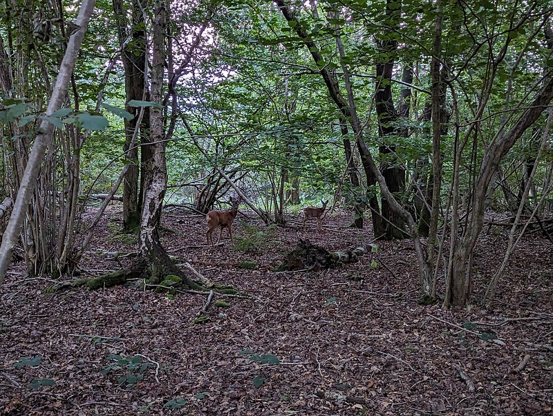
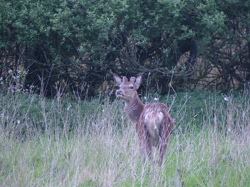
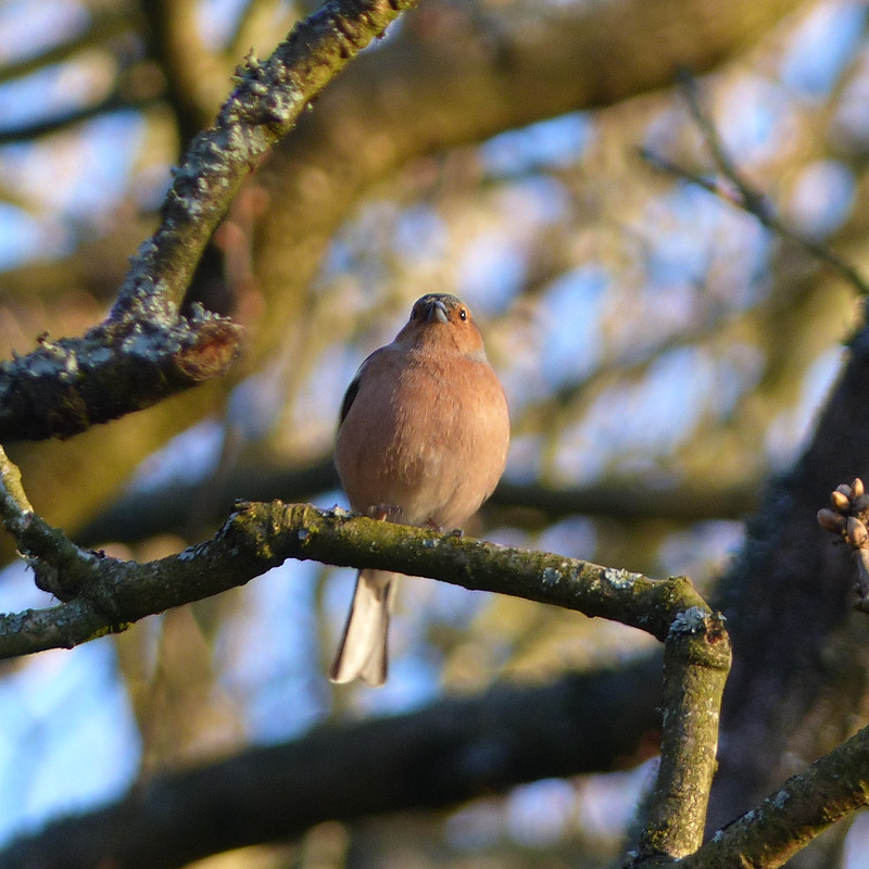
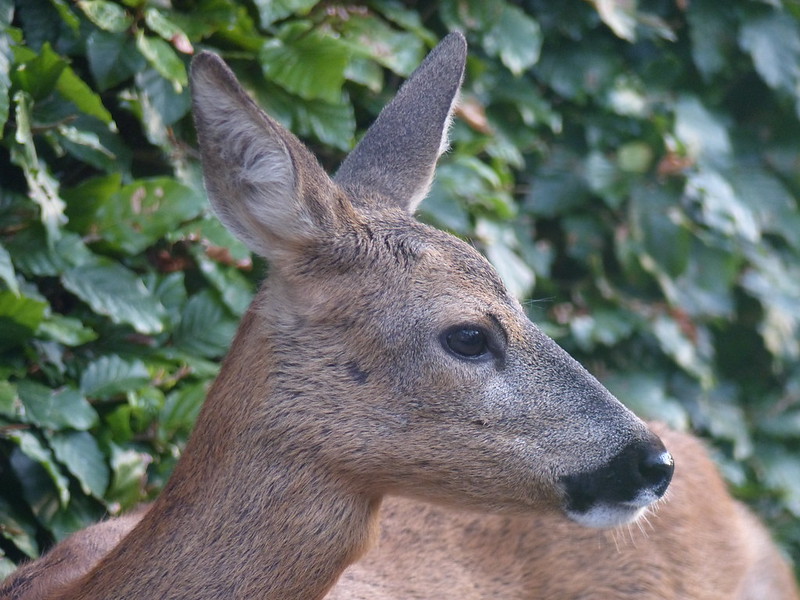
During a recent visit to ours, The Sherpa and The Prof were speculating on how many times I’ve climbed the Knot. To be honest, I don’t have a clue, but I think that they estimated, I don’t know how, a figure of around a thousand times. That might be a fair guess. This particular ascent stands out from the many not just because of the lovely evening light, but because of this pair of Roe Deer which stared at me for a while, but then went back to browsing the woodland floor seemingly quite unconcerned even when another walker passed and threw us all a cheery greeting.
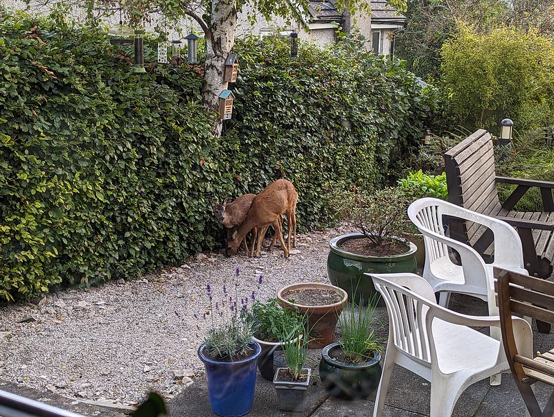
My guess is that this pair are siblings, although I couldn’t tell you why I think that. I’ve noticed that the deer are occasionally more brazen in our garden these days too, particularly when we are in the house when they seem to have no qualms approaching quite close.
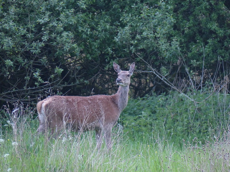
Addendum: I’ve found some more photos, which I took on my camera and hadn’t downloaded, and this is in fact three deer – a mother and her two fawns, so I wasn’t so far off with my siblings guess.
Here’s the mother:
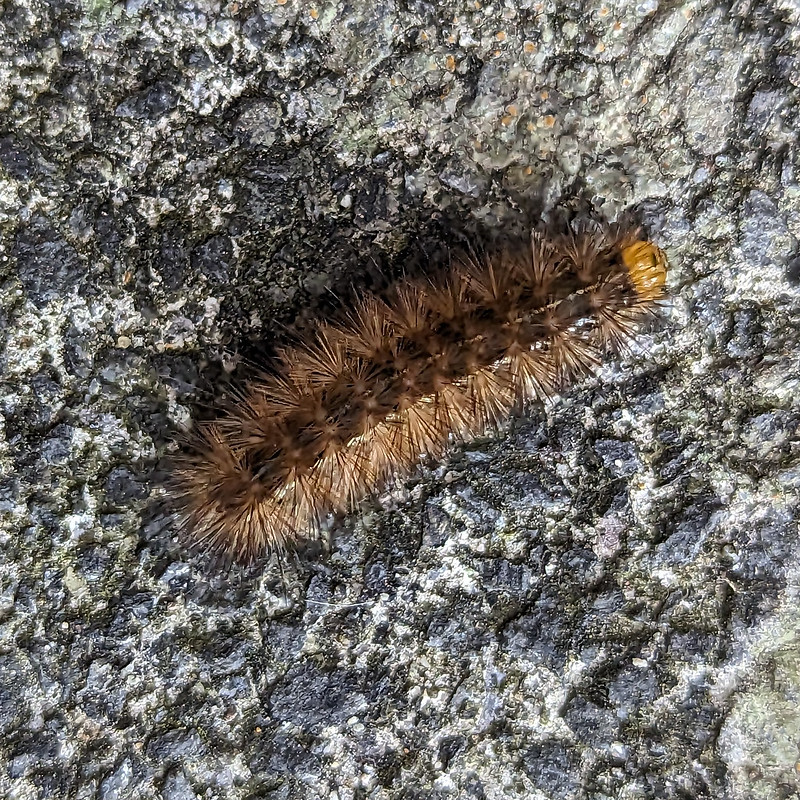
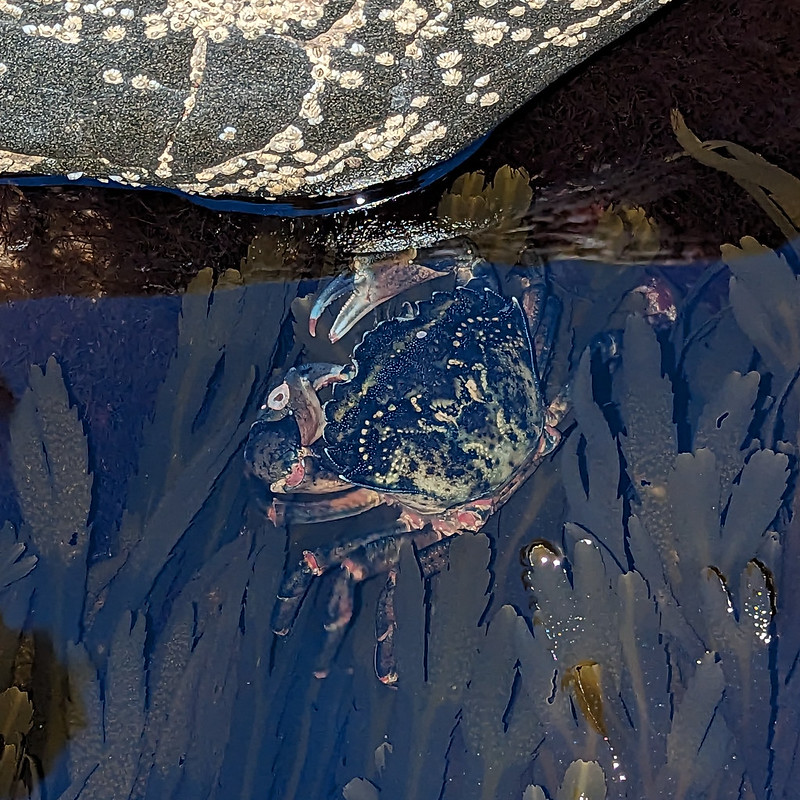
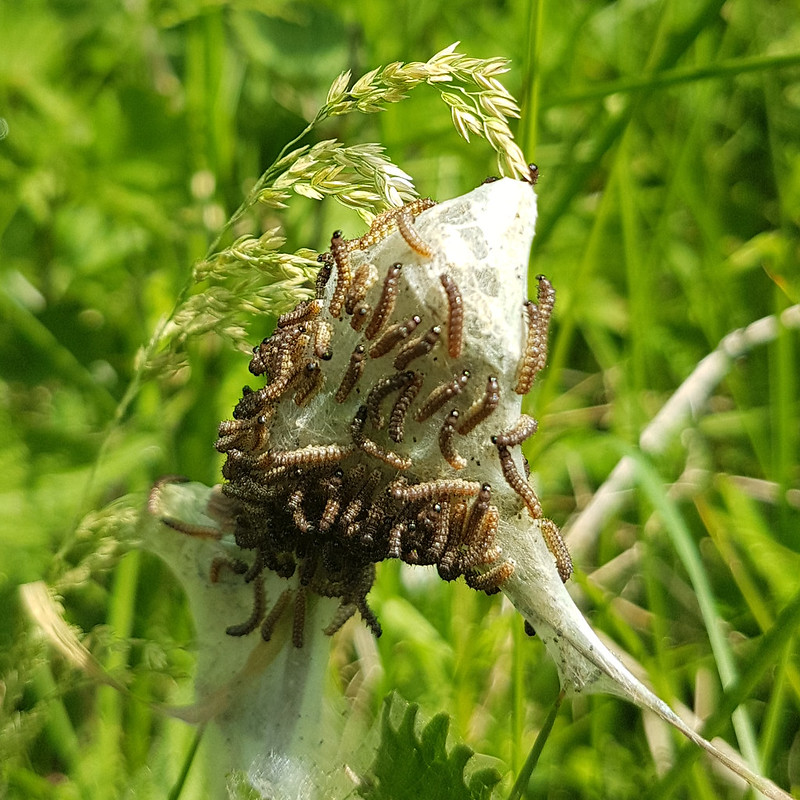
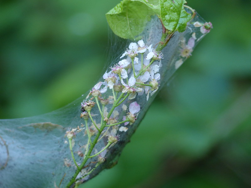
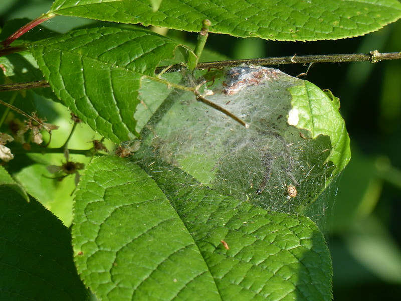
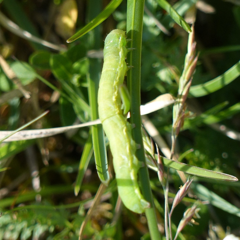
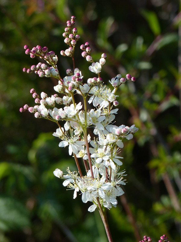
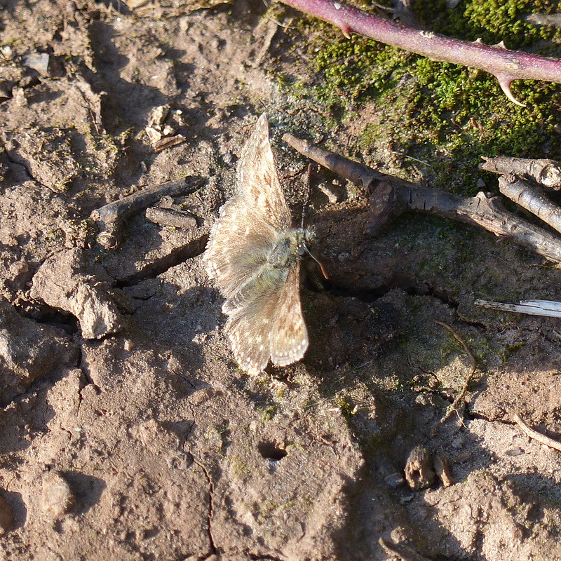
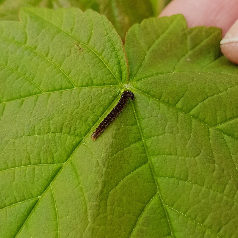
Whilst I remember both sets of deer, I have no recollection at all of photographing this caterpillar. I hope that it was in our garden, I once found a very colourful Garden Tiger Moth in a spider’s web on one of our window ledges, but it would be nice to think that we have resident Ruby Moths too. One day I’ll get around to making or buying a moth trap and then I suppose I’ll find out.