Greenburn: Mines and Ridges

P1230593

Slater Bridge and the River Brathay.

Every year I get the first Monday in December off work. I used to think that this was a rotten idea: give me a day in May or June over one when the days are short and the weather likely to be poor, I thought. But now I know better. Last year I had a terrific walk around home, with the icing on the cake being a close encounter with one of our local otters; the year before a tarn bagging day above Grasmere.

P1230594

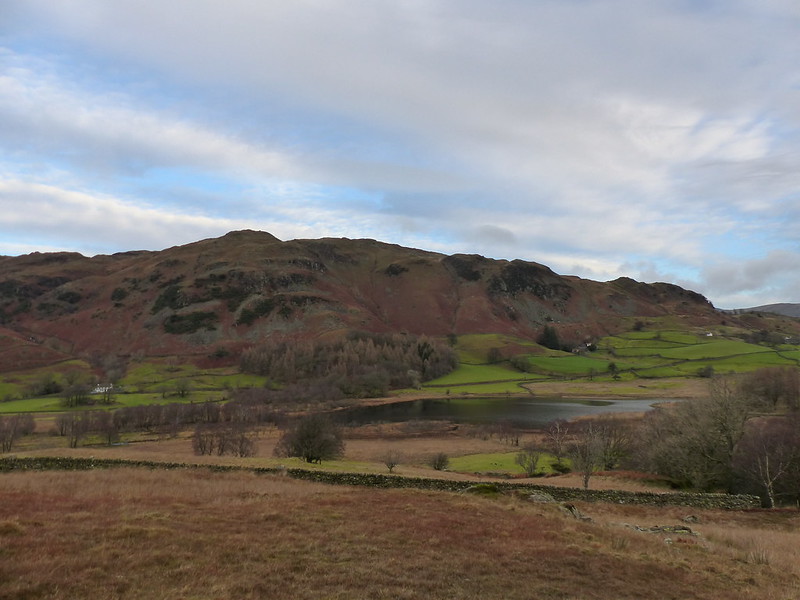
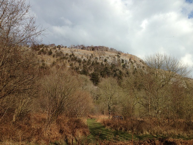
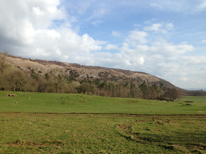
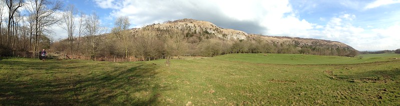
Little Langdale Tarn with Lingmoor Fell behind.

P1230597

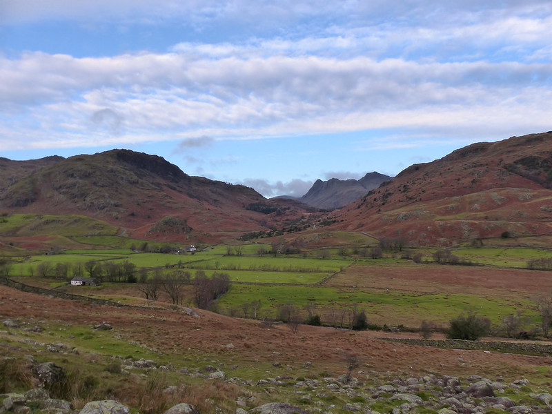
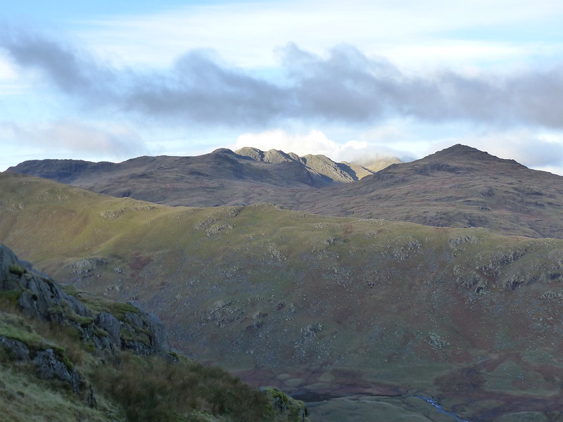
Langdale Pikes peeking through the gap.

P1230599

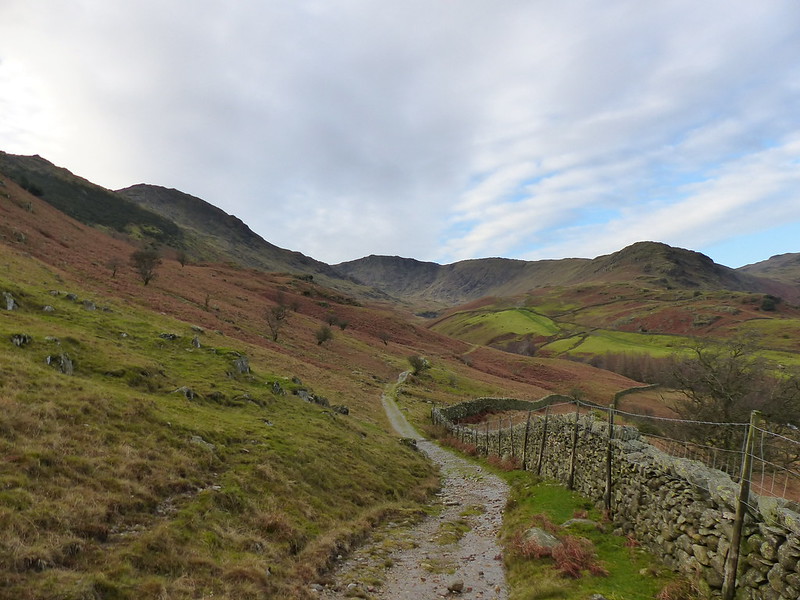
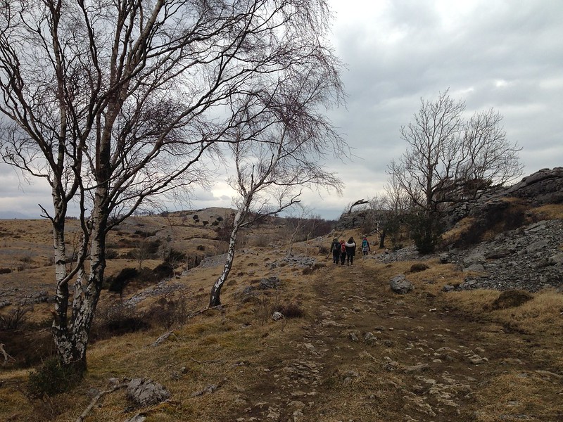
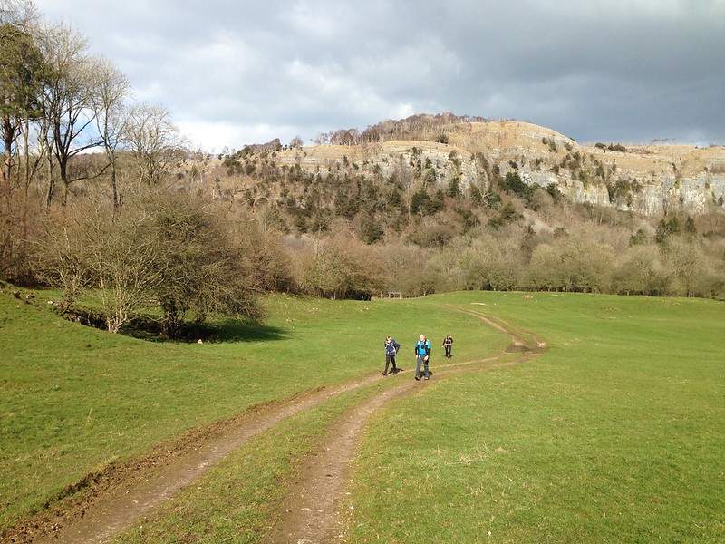
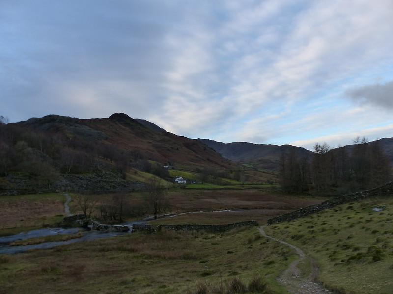
Heading towards Greenburn.

This year, my plan was a simple one – park at Little Langdale, head up Greenburn as far as the old mine-workings, climb up to Wetherlam Edge from there, seeking out the abandoned adits as I went and then a circuit of Greenburn’s ridges taking in Wetherlam, Black Sails, Swirl How, Great Carrs, Little Carrs, Hell Gill Pike, Wet Side Edge and Rough Crags.

screenshot 2019-01-16 at 22.37.24

screenshot 2019-01-16 at 22.45.06

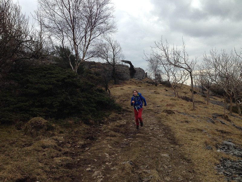
And that’s exactly what I did. It’s a little over 10 miles, with around 2800′ of up and down. With hindsight, it’s quite an ambitious plan for a short winter day, by my standards anyway, and much tougher than what I felt I could manage two years ago for example. Although, I did finish in the dark, of which more later.
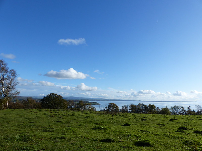
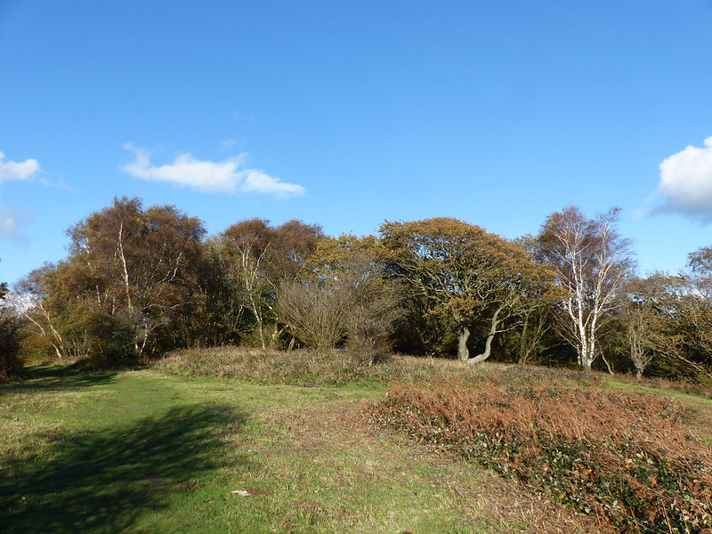
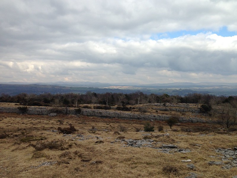
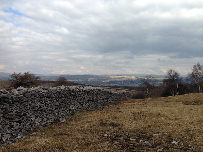
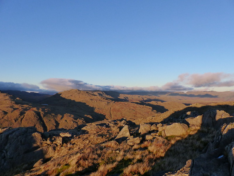
P1230601

Greenburn.

As I walked up the valley, the early cloud was clearing rapidly, although I still didn’t have the promised sunshine.
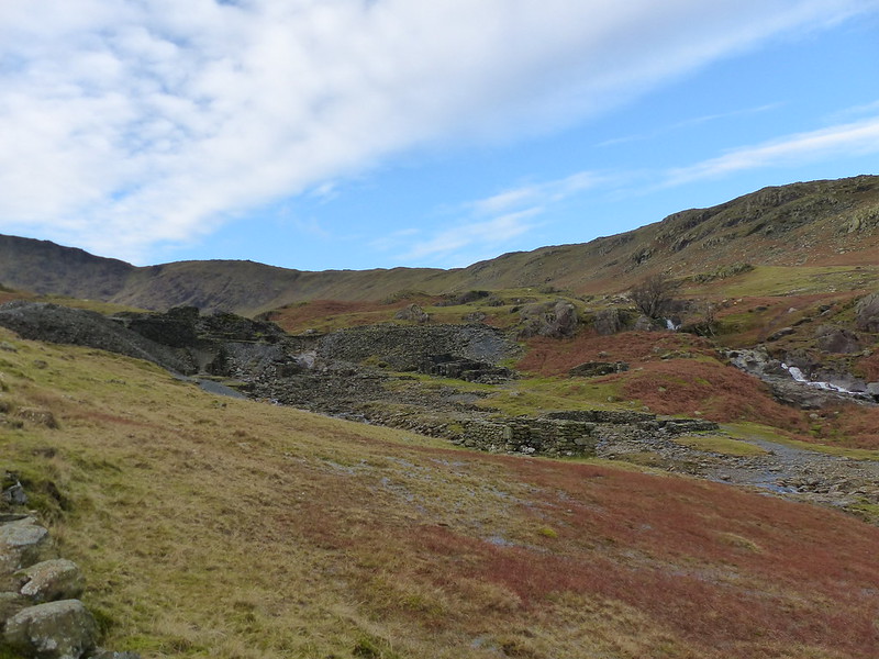
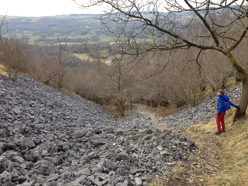
P1230604

Greenburn Mine.

P1230605

P1230608

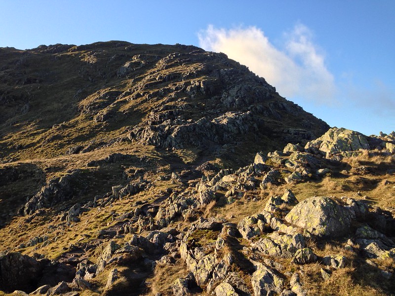
From the mine I took a very direct, and steep, line of ascent following a route up the hillside which I don’t think was a path exactly, but must have been a grassed over feature dating back to the days of the mines.

P1230619

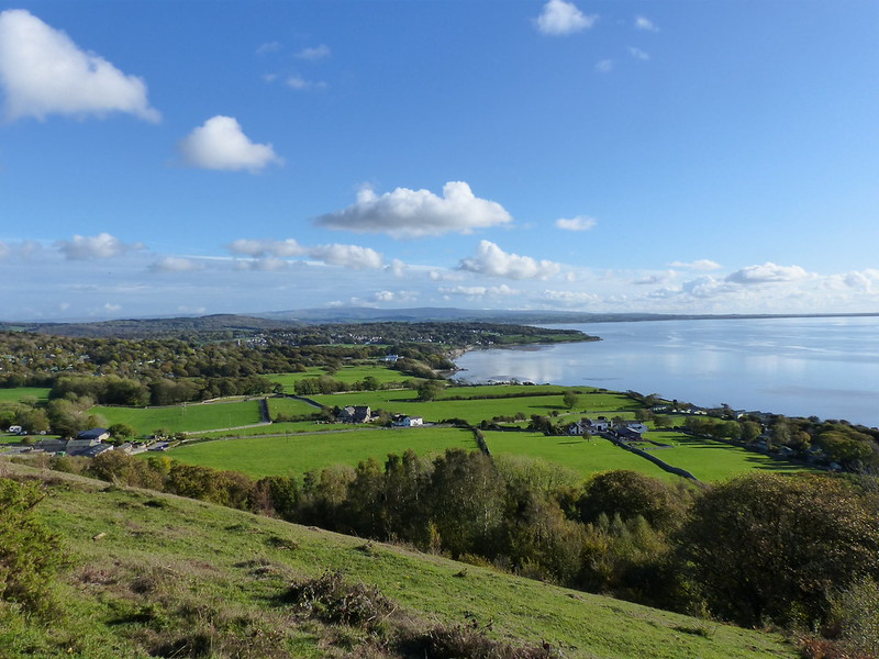
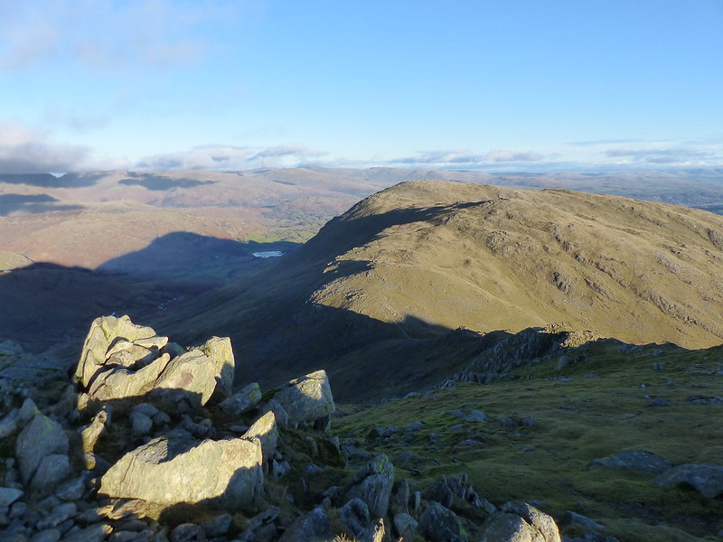
Lingmoor Fell, Little Langdale, Fairfield behind.

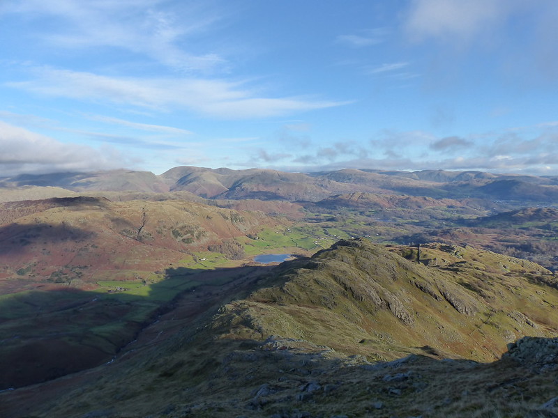
I was still in the shade, but the expanding views gave me plenty of excuses to stop and take stock.

P1230622

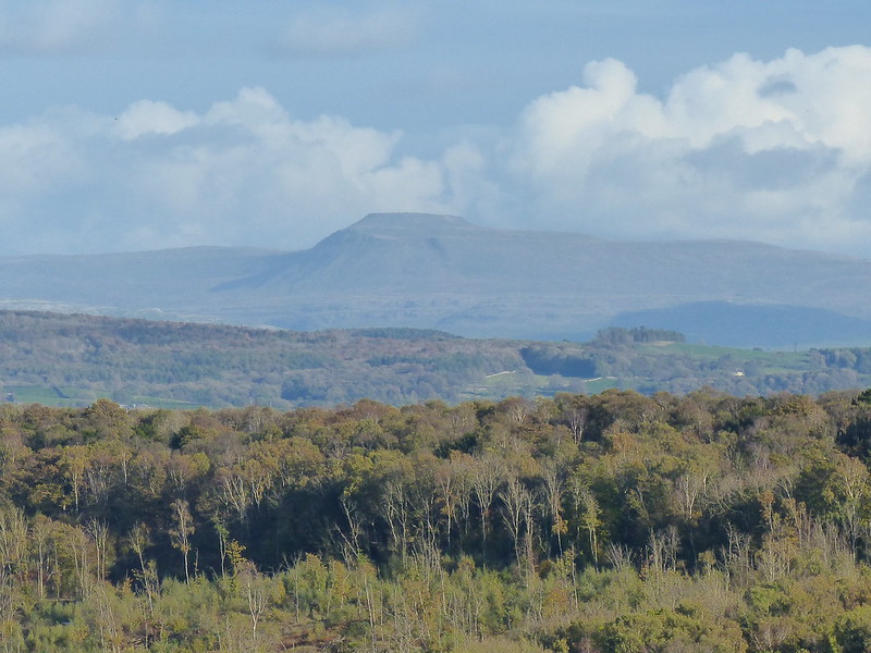
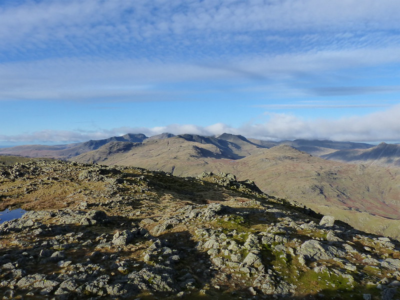
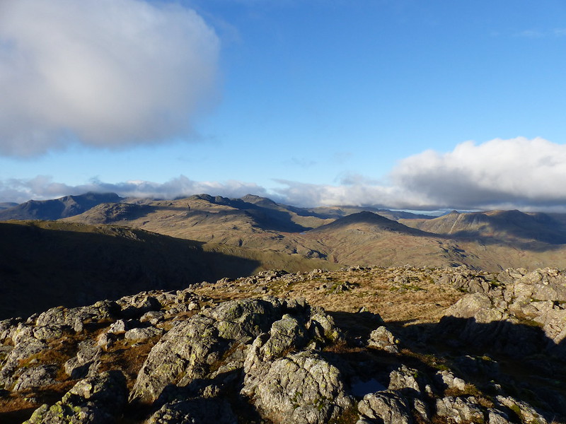
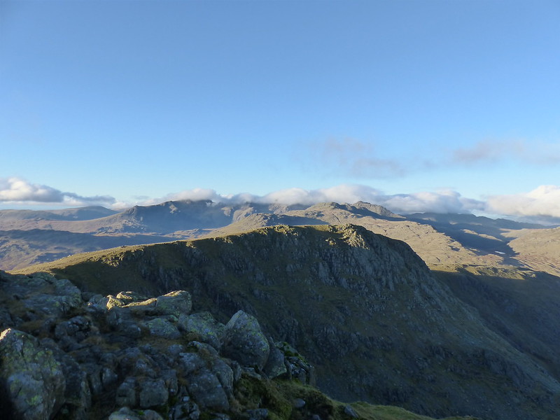
Wet Side Edge, Crinkle Crags, Pike of Blisco, Bowfell shrouded in cloud.

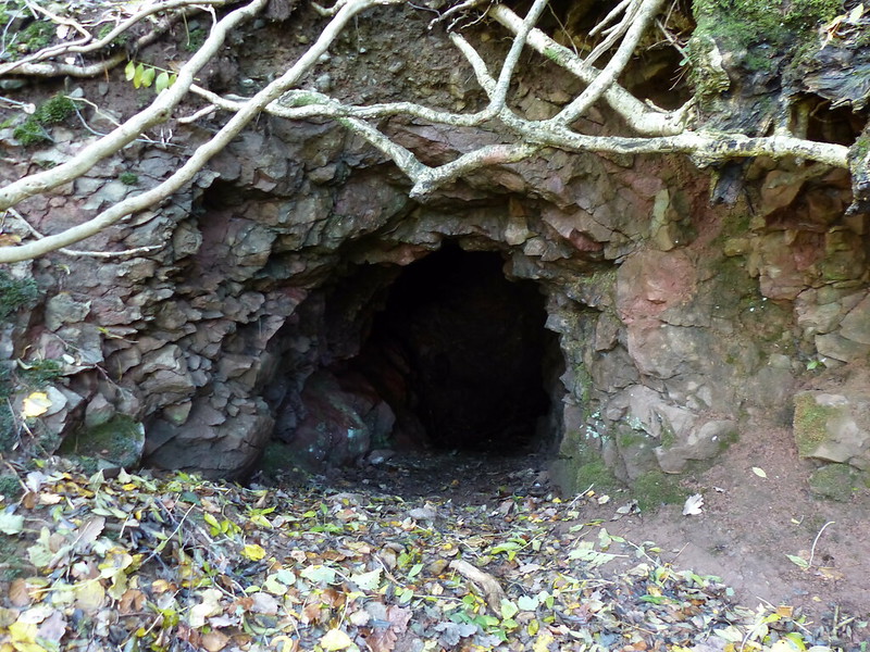
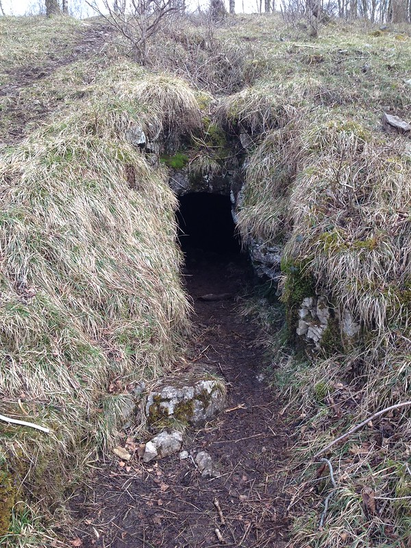
I passed three adits, the Pave York Levels. This…

P1230624

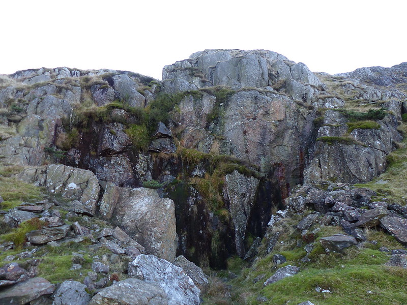
…is the most imposing entrance of the three, the top level.

image

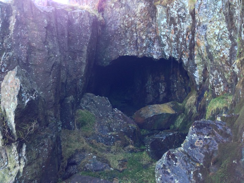
Copper Oxide was extracted here in the past. If you’re interested, it’s not hard to find photos from inside these mines online. The whole Greenburn Mine area is a scheduled ancient monument. The listing is here. Sometime I shall have another poke about in this area and seek out the Long Crag Levels too, which extend quite close to the summit of Wetherlam.

P1230626

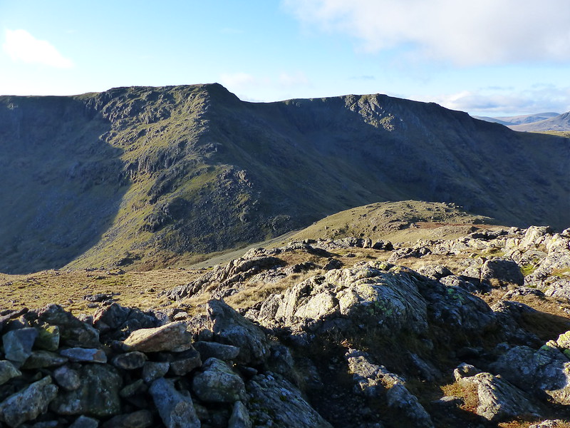
Looking down Wetherlam Edge to Birk Fell Man.

P1230629

From Wetherlam: Scafell, Crinkle Crags, Bowfell, Pike of Blisco.

P1230630

Swirl How and Great Carrs from Wetherlam.

Although there was now quite a cold wind blowing, the sun was shining too. I hunkered down behind some slabs, which I can pick out on the photo above, and broke out the stove to make a brew. Out of the wind, the sun was really quite warm and I sat comfortably for perhaps 40 minutes just enjoying the situation.

P1230631

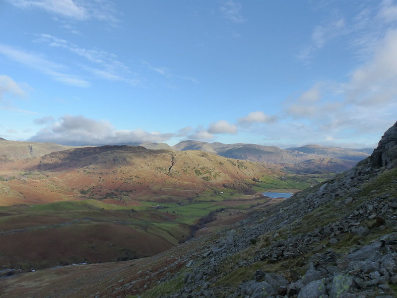
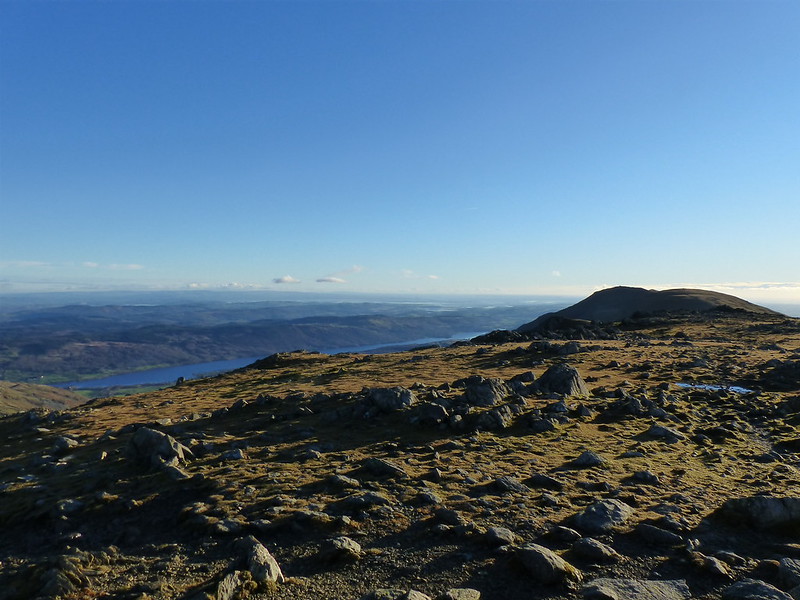
Looking south-east to Windermere.

Eventually I moved on and climbed Black Sails.

P1230634

The main path bypasses Black Sails and, whilst I’ve been up Wetherlam many times over the years, I don’t think I’ve ever bothered with Black Sails before. My loss, and one up for Bill Birkett and his hill-list, this was one well worth making a detour for.

P1230637

Prison Band, Swirl How, Great Carrs.

image

On Prison Band.

image

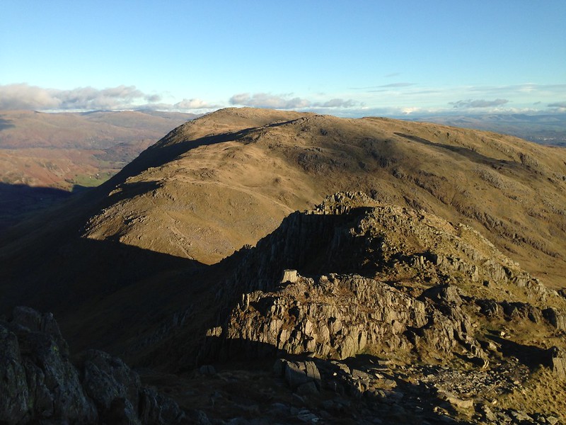
Looking back to Black Sails and Wetherlam from Prison Band.

P1230641

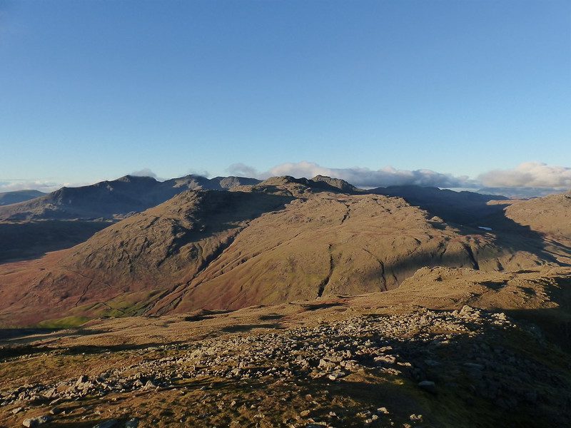
Great Carrs and the hills around Upper Eskdale from Swirl How.

P1230644

Wetherlam and Black Sails from Swirl How.

P1230645

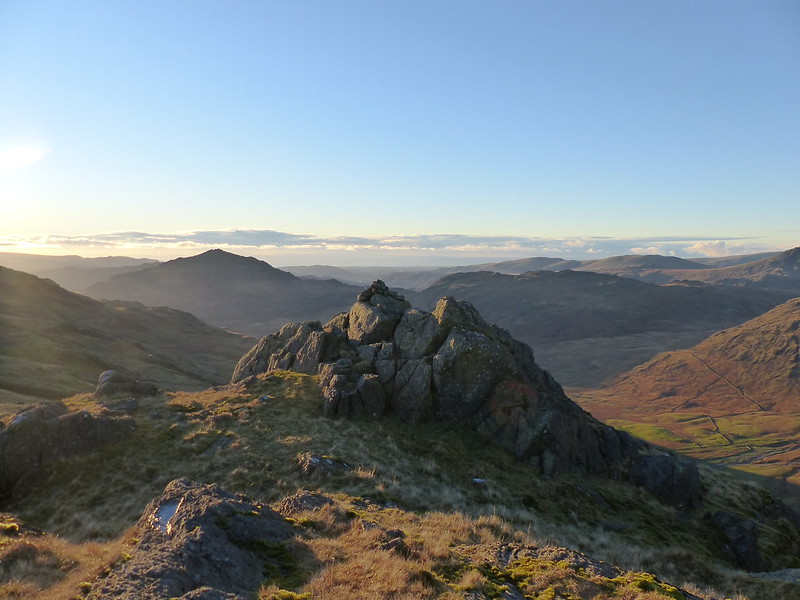
Looking along the ridge to Coniston Old Man.

image

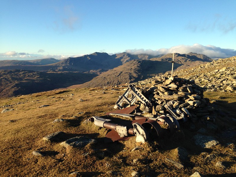
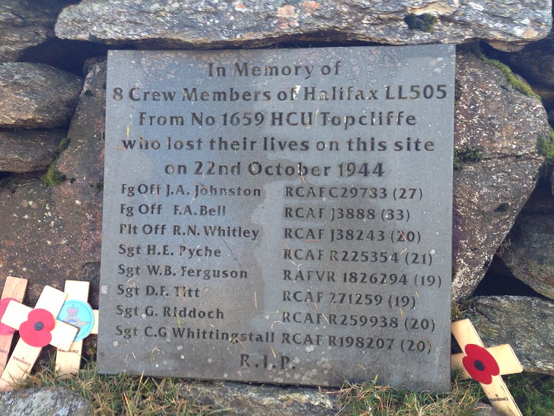
The remains of Halifax LL505.

image

P1230651

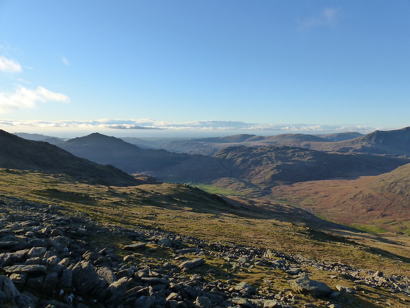
The Scafells, Little Stand, Crinkle Crags, Bowfell, Cold Pike.

P1230652

Harter Fell and Eskdale.

P1230662

Harter Fell from Hell Gill Pike.

P1230660

The sun was dropping rapidly towards the Irish sea and giving the hills a lovely alpenglow. Which was great, except I still had a fair way to go.

P1230661

In the event, the light lasted long enough to take me down Wet Side Edge and over Rough Crags, but I wanted to cross Greenburn Beck and didn’t really trust in the right-of-way marked on the map, since there was no accompanying actual path shown. I remembered seeing a bridge over the beck in the morning, but couldn’t recall exactly where, so I aimed off and hit the stream well above where I needed to be, then followed the beck down. That bank of the stream turned out to be slippery, wet and boggy and quite difficult to judge in the failing light. When the footbridge eventually hove into view I was quite relieved. All that remained was an easy stroll along the track back to Little Langdale as the stars appeared and the frost began to bite.

P1230665


Greenburn: Mines and Ridges

Comfortable Silences

P1230058

Speckled Wood Butterfly.

A mid-October Sunday and another day which brightened up into a cracker after a most unpromising start. B must have been playing at home and I’d been for a wander along the Lune from Underley Park under dark skies and beside a river which, if not quite in spate, was swollen, fast flowing and looking as if it would present a stern challenge to canoeists.

P1230059

In the afternoon, I walked around the coast as far as White Creek and from there up to Heathwaite without, unusually, ever going up to the top of the Knott.

P1230060

I enjoyed watching this flock of birds heading north rather faster than I was. I suspect that they were Oystercatchers, but it was hard to tell.

P1230062

I was interested to see, now that we were definitely into Autumn, what I could still find flowering. Some things weren’t particularly unexpected….

P1230066

Devil’s-bit Scabious.

I was pleased to see some butterflies too: quite a few Speckled Woods, a large White and this…

P1230068

Small Copper Butterfly.

P1230069

P1230071

Betony is another late-flowering plant, so not out of place in October. But…

P1230072

…this Burnett Rose was a bit unexpected.

P1230074

Oystercatchers – unmistakably this time.

P1230076

The view from Park Point.

P1230078

Holly is normally a spring flowering plant, so these flowers go down as surprise of the day.

P1230082

This is one of the two short tunnels of White Creek Mine. The colour of the rock here suggests that this is another haematite mine – an iron oxide ore mainly used in the manufacture of paint apparently.

P1230085

P1230086

Two views south along the coast from Heathwaite.

P1230089

It was a fairly clear day – was that Blackpool Tower I could make out down the coast?

P1230091

Yep!

P1230092

P1230093

The (becoming) obligatory Ingleborough zoom.

P1230095

I thought this pair of crows looked like old friends, comfortable with each others silence…

P1230097

P1230098

‘Did you…..?’

P1230099

‘Oh, no? Okay. Think I’ll grab a snooze.’


Comfortable Silences

A Good Friday on Whitbarrow

image

Chapel Head Scar.

The best-laid schemes o’ mice an’ men
Gang aft agley,
An’ lea’e us nought but grief an’ pain,
For promis’d joy!

Robert Burns from  To a Mouse

Poor old Rabbie Burns obviously didn’t have a Plan B. Last year we decided that we would climb the three national highest peaks – Ben Nevis, Snowdon and Scafell Pike. We had a great day on the latter, but any plans we had for the other two went agley.

image

Farrer’s Allotment.

When Andy got wind of our plans he was keen to gatecrash them, which, of course, he was more than welcome to do. And so we hatched a scheme to head up to Lochaber this Easter to add The Ben to our tally. However, we were concerned about camping over such an early Easter weekend, especially when forecasters started to mention a further return of the Beast from the East.

image

So, a back-up plan was needed. We decided that, if the forecast didn’t considerably improve, then the Surfnslide crew would head up to ours for the Bank Holiday weekend instead.

image

Thus it was that we parked on the old road parallel to the A590 close to Beck Head and then climbed through the steep woodland of Buckhouse Wood in a light rain. We hadn’t left the house very early (something of a theme when it comes to family outings, I know), so when we reached the plateau and the rain finally knocked off, we found a spot with an expansive, if somewhat gloomy, view for a brew and some lunch.

image

As ever, once out of the house, the DBs forgot to resent having been dragged away from their computer games and raced around looking for small crags to scale, of which there were plenty.

The substantial summit cairn at Lord’s Lot…

image

…also seemed to fit the bill as a small crag.

image

Scout Scar from Lord’s Lot.

image

Lord’s Lot panoramas. Click on any image to see a larger version on flickr.

image

Once the rain stopped the weather continued to brighten, eventually giving us a sunny afternoon in stark contrast to what had gone before.

image

The Helm near Kendal catching the sun. I’ve never been up there, a very odd omission.

image

Scout Scar now catching the sun.

We decided to descend via Bell Rake, a route I haven’t followed for years. Beside the path we came across an old mine entrance, which I must have seen before, but have completely forgotten.

image

Our kids can never pass up an opportunity like this..

image

And had soon persuaded Andy to join them, he is, after all, an honorary DB.

image

Apparently, after the low entrance it was possible to stand up and the passage went ‘quite a long way’ but was then a dead-end.

I was convinced that a bit of lazy internet research would unearth some details about the mine. I found a huge document, by Max Moseley of the Northern Mine Research Society which seems to have a lot about mining in this area, around Silverdale and Warton and which I shall peruse at some point. And also another file, this time a mineral reconnaissance report, commissioned by the Department of Industry.

image

Spoil?

This one had what at first seemed like useful information.

DISCUSSION OF RESULTS
Area I (Whitbarrow and Brigsteer)
There are no exceptionally high levels of copper, lead, zinc, barium or manganese recorded in this area. Some of the highest values for these elements, particularly lead and zinc, are recorded on the east side of Whitbarrow, where field investigation identified a disused iron mine [SD 4370 87751]. At this locality (Bell Rake) a 0.5 m wide vein of calcite possibly with some baryte is seen in the roof of an old portal. This isolated vein strikes 140° and is vertical. This is possibily the locality described in a transcript dated 1616 quoted by Wildridge (1975).

“The other place called Whitbarrow Hills, where several dead leaders appear, with hingett and liggett. This hath not been wrought to such profile as were fit, but some further trial were made about it some 10 fathoms deep…… undoubtedly a vein will be found, which by the nature of the stone of these works we conceive will come a lead oare mixt with copper.”

No copper, lead or zinc minerals were seen either at outcrop or in mine dump material during a visit to this site. It is probable that this site was excavated in the belief that it was associated with a metal-containing lode vein.


But Bell Rake is on the west side, not the east, of Whitbarrow. The map reference is spot on however. Also, the passage seems to contradict itself: is it an iron mine as stated at the beginning or an exploratory level as suggested at the end? Perhaps, since no copper, lead or zinc ores were found, this site simply wasn’t very important in a mineral reconnaissance report?

Calcite is a crystalline form of Calcium Carbonate, whilst Baryte is a mineral form of Barium Sulphate and is associated with lead-zinc veins in limestones. I can’t figure out what hingett and liggett might be.

The steep path down from Bel Rake rapidly brought us High Park Wood.

image

The generally dry conditions underfoot came to an end here, which was no real surprise: previous experience suggests that this path, below the wonderfully named Black Yews Scar, is always fairly damp. I’m sure that I’ve read somewhere that the huge limestone plinth of Whitbarrow sits on a layer of Silurian slate, so that rainwater percolates down through the porous limestone and then rises to the surface as springs when it hits the slate.

image

Chapel Head Scar.

Near Witherslack Hall, the path emerges from the woods, and with the sun shining, we now had superb views of the cliffs of Whitbarrow.

image

image

image

image

A short walk, first along the road and then on a track, brought us to the outskirts of the village of Beck Head.

image

Artwork on the wall of the former Hikers’ Rest Cafe.

image

Sadly, the Hiker’s Rest Cafe there has had to close because it operated on an honesty box system, but people were not paying for what they took. What a shame.

image

At Beck Head there’s a particularly large and impressive spring. The boys managed to pick their way across the stream and where keen to explore another cave they could see. Time was marching on however and it was time to return to the cars and then home for some homemade pizzas and an evening of games.

image

Whitbarrow.

image

Back at the cars.

Burns rounds off ‘To a Mouse’…

Still thou art blest, compar’d wi’ me
The present only toucheth thee:
But, Och! I backward cast my e’e.
On prospects drear!
An’ forward, tho’ I canna see,
I guess an’ fear!

Poor chap. He needed to get some friends round; share a walk, some games, some simple food, a few laughs. It’s a foolprooof recipe for a happy weekend.

A Good Friday on Whitbarrow