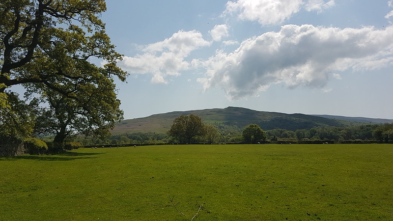
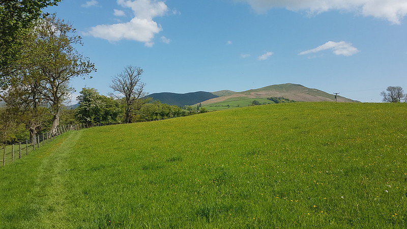
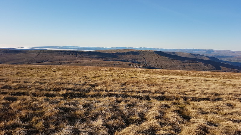
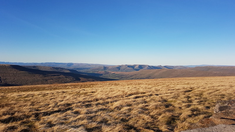
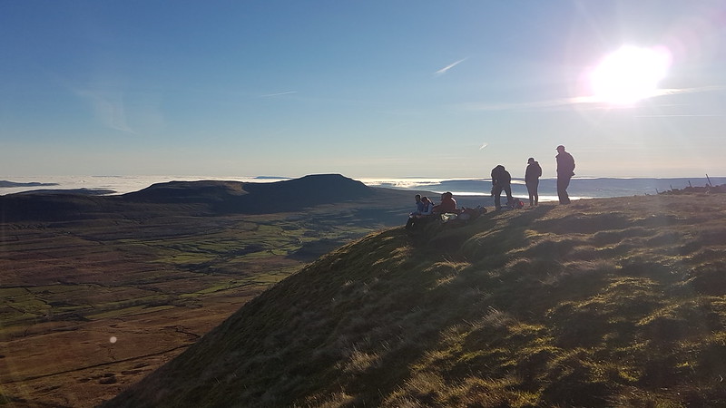
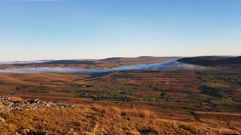
Great Knoutberry Hill and Wold Fell

PXL_20230702_092807858
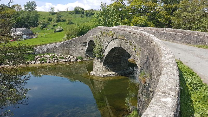
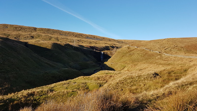
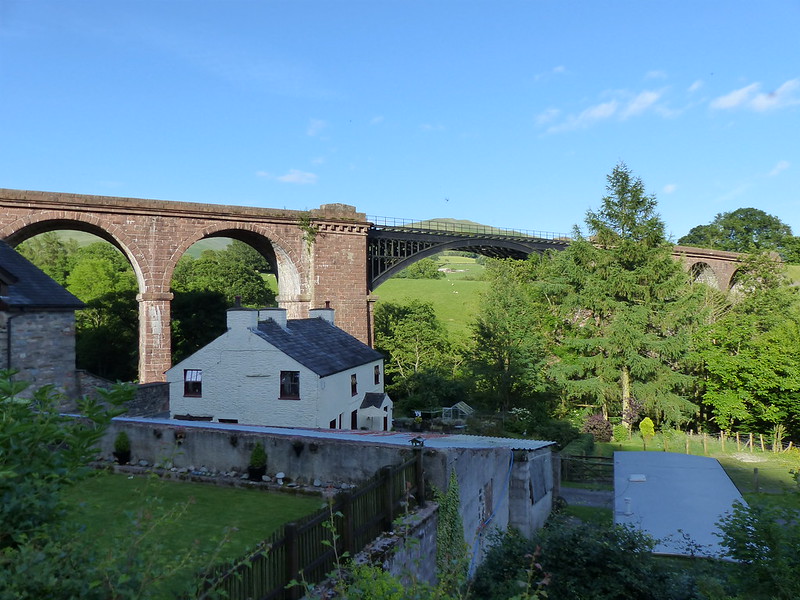
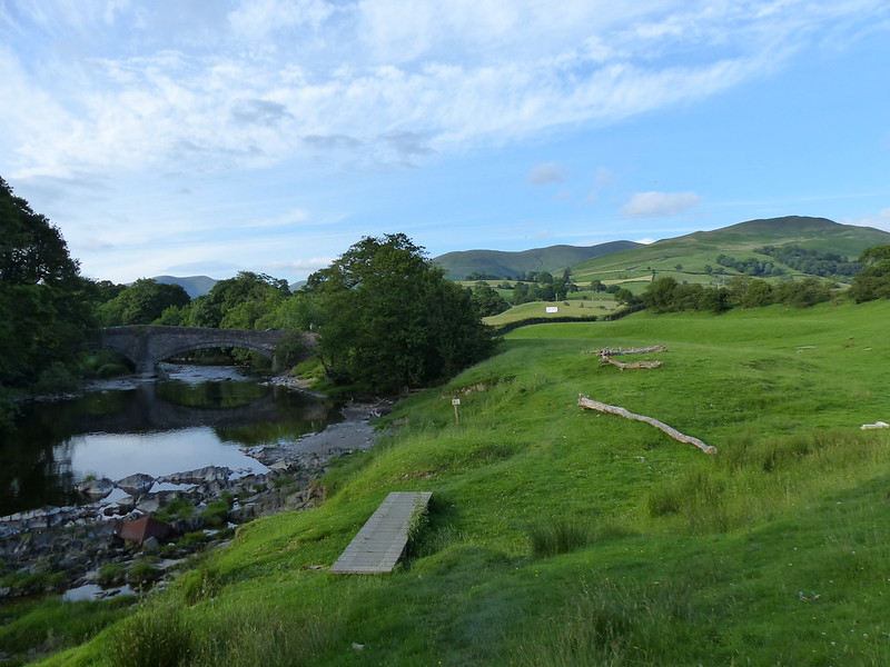
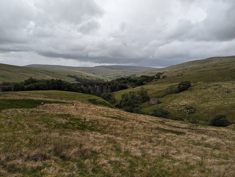
Dent Head Viaduct and Packsaddle Bridge over Fell End Gill.

Another Lune Catchment walk, on a day of decidedly mixed weather. I don’t mind a bit of mixed weather, depending, I suppose, on the ratios employed in the recipe: I can stand a bit of rain so long as it isn’t poured with too heavy a hand and if I get some dramatic skies in compensation.

I know that Dentdale is lovely, but curiously, given that it’s not really all that far from home, I haven’t actually visited all that often. I’ve climbed Whernside from Dent on a couple of occasions. We camped here once, in the rain, when the kids were little I think. But I haven’t visited most of the valley, I hadn’t climbed any of the hills to the north or east. All of which is even more odd, given that where I parked, this early July Sunday morning, by the magnificent Dent Head Viaduct, was about a five minute drive from Gearstones Lodge, where we’ve spent a weekend prior to every Christmas for a few years now. In fact, we fairly recently watched the cloud pouring over Great Knoutberry Hill and Wold Fell from the northern end of Whernside during a cloud inversion weekend at Gearstones.
PXL_20230702_093504623
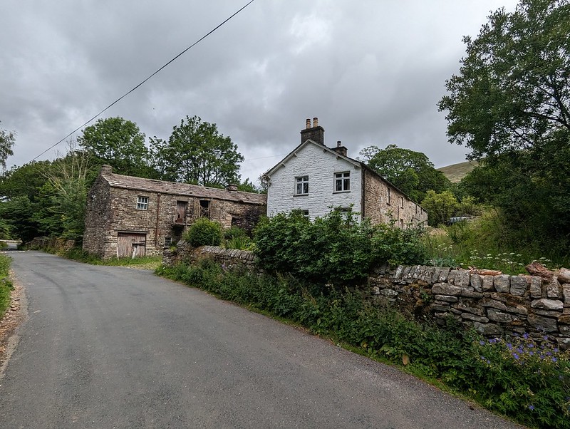
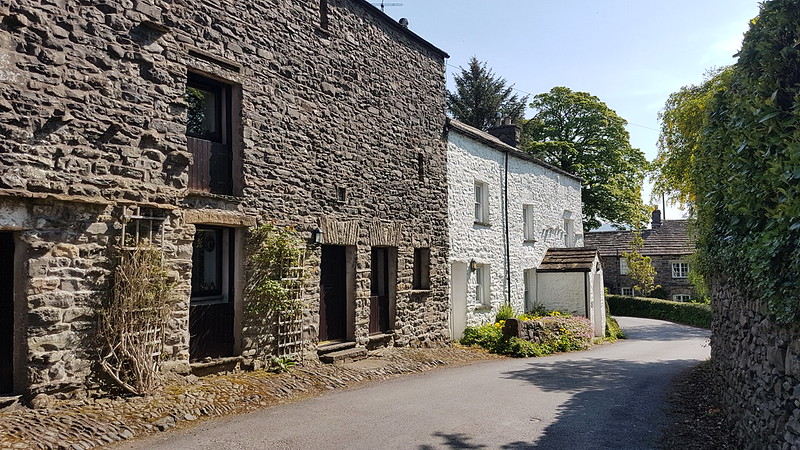
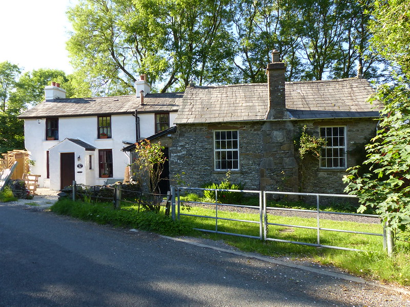
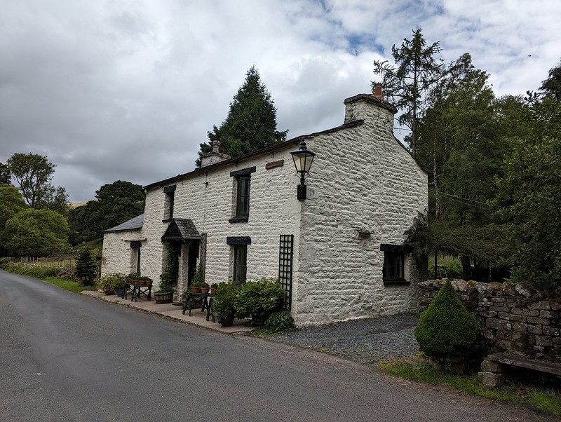
Bridge End Cottage (I think).

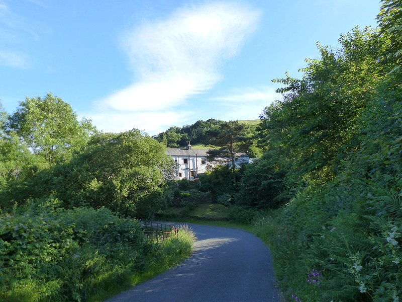
My walk began downhill, along the road – neither of which would usually be my first choice when picking a route, but on this occasion, with the infant River Dee alongside, a mass of wild flowers on the verges and lots of old, listed buildings to admire, I was more than happy. Both the viaduct and the old bridge are listed, along with just about every building in this upper part of the valley it seems. All, perhaps, except this one, if I’m right that this is Bridge End Cottage.
In fact, I might have finished and published this post by now, apart from the fact that I’ve spent a lot of time down the rabbit-hole of reading all of the listings on the Historic England website. I think I enjoy the fact that they are quite clearly dense with information, but simultaneously, make no sense to me whatsoever.

“Rock-faced sandstone in massive blocks, mostly coursed but some snecked, with brick soffits to the arches. Slightly curved line on north-south axis. Ten tall round-headed arches on battered rectangular piers, that in the centre broader than the others and with a broad tapered pilaster; short cavetto-moulded imposts at the springing of the arches, rusticated voussoirs (now with 3 tie-plates to each arch), a moulded string course, and parapets with rounded coping.”

This is the viaduct, for example. Snecked? Soffits? Cavetto? Imposts? At least I know what voussoirs are, after a previous rabbit-hole episode, although I can’t tell you what it means for them to be rusticated; and I’m guessing that, in this context, ‘battered’ has nothing to do with coating in a mixture of flour, egg and beer and then deep-frying? (Although it has probably been tried in Scotland).

PXL_20230702_093839772
The River Dee.
PXL_20230702_094131719
Dee Side House.

Formerly Dentdale Youth Hostel and before that a hunting lodge; now available as a holiday let. I’ll let you insert here your own rant about the YHA losing its way and selling off so many wonderful remote properties like this one. I’m saddened that I never got around to staying here whilst it was still a hostel, but even more upset that apparently Patterdale Hostel in the Lakes, where I have stayed many, many times, including for several big family get-togethers when I was in my teens, is facing a similar fate.

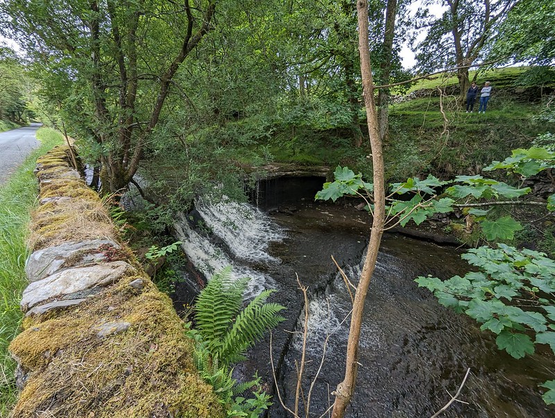
PXL_20230702_094321869
Common Spotted-orchid.
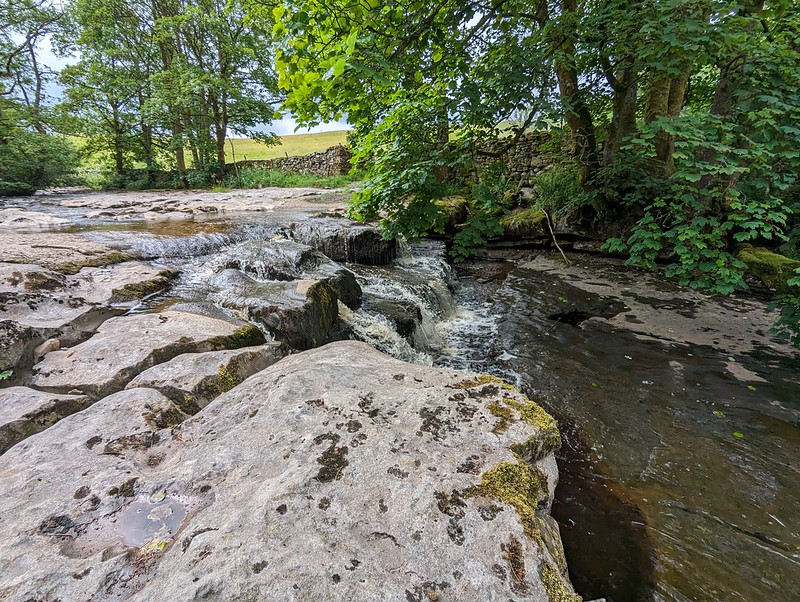
PXL_20230702_094454400
Scow Force.
PXL_20230702_094354535
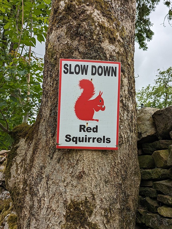
Speed up – missed Red Squirrel photo opportunity.

I did see a Red Squirrel, running along the top of a gate, but I was much too slow with my camera to get a photo. I was impressed that somebody has put out these signs in an attempt to save the local squirrels from motorists, but I clearly needed to speed up, not slow down, in response to the presence of squirrels.

PXL_20230702_094625394
Bettony.

I passed a garden hereabouts which had been decked out as a picnic spot for Dales Way walkers – which seemed like a really generous thing to do and reminded me of the esrtwhile ‘Hiker’s Rest’ near to Beck Head at the southern end of Whitbarrow.
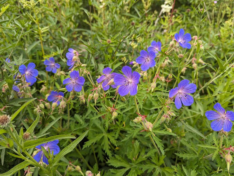
PXL_20230702_094941345
Meadow Crane’s-bill.
PXL_20230702_095326075
The River Dee.
PXL_20230702_095351467
East Stonehouse.
PXL_20230702_095414146
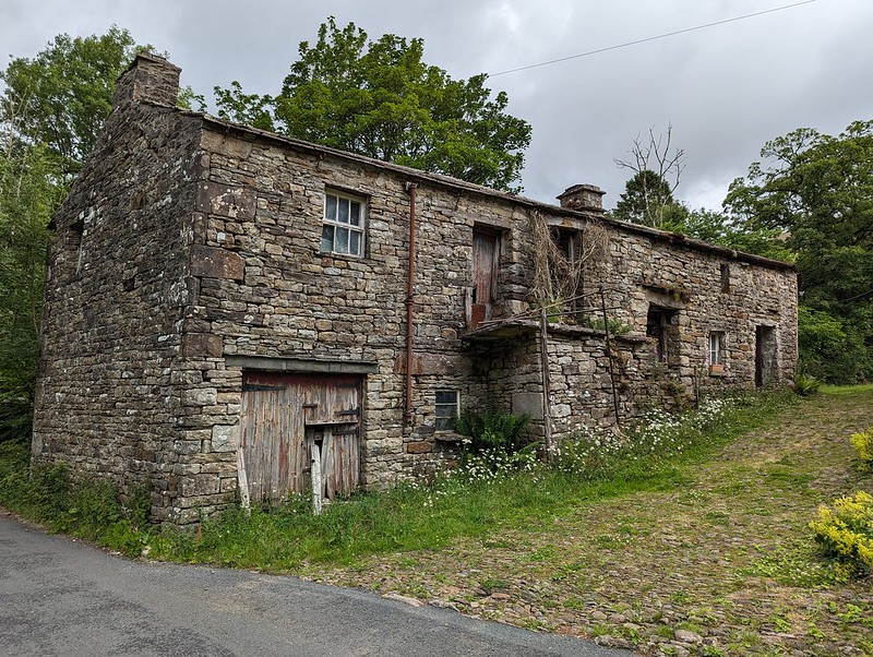
Outbuilding at East Stonehouse.

There was something about the higgledy-piggledy design of this building which I found appealing. Higgledy-piggledy is the technical term obviously; I can’t think how else to put it, not asymmetric exactly, most houses aren’t symmetrical after all. It’s something to do with the windows and doors all being different sizes and positioned at different levels, I think. Anyway, I liked it.
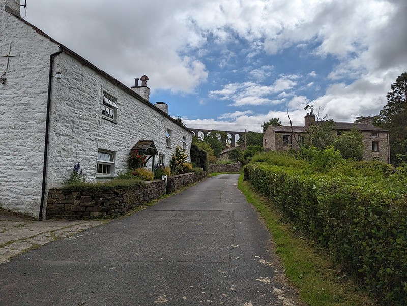
PXL_20230702_095654496
West Stonehouse.

Confusingly, West Stonehouse lies NNE of East Stonehouse. I’m sure it made sense to name them that way to somebody at some time, but it seems very odd now. Here’s a snippet of the Historic England description of West Stonehouse:

“White-painted rubble, the centre portion random, with quoins, and the outer portions coursed, also with quoins; stone slate roof.”

I often bemoan the modern penchant for using the word random, when the desired import is actually ‘arbitrary’; so I was struck by the use of ‘random’ here. Apparently random rubble stone is where undressed or hammer dressed stones are used. Like a dry-stone wall; the stones are all different sizes and fit together like the squares and rectangles in a painting by Piet Mondrian, not in neat, even layers, which would be ‘coursed’. So there you go.

It probably makes more sense with a picture – I shall have to take one.

PXL_20230702_100116987
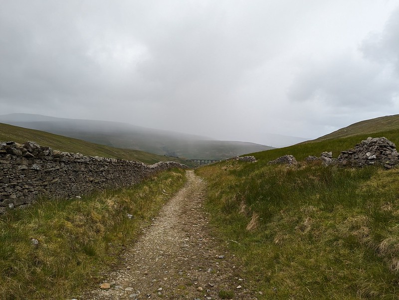
Arten Gill Viaduct.

By the track from Stonehouse there was an information board about the mining, or possibly quarrying, or – looking at the map – probably both, which formerly went on in this area. I didn’t take a photo, which is most unlike me, but the area’s industrial past no doubt explains the effort which was expended in creating the cobbled track up towards Arten Gill Viaduct.

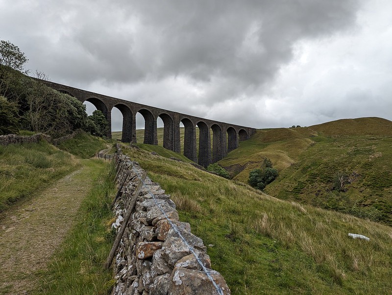
PXL_20230702_100145544
Cobbled bridleway.
PXL_20230702_100442692
Arten Gill Viaduct.

This viaduct was if anything even more attractive than the Dent Head one had been. You’ll have to bear with me, I took lots of photos. On the other hand, I didn’t manage to catch the pair of raptors, I think Kestrels, which were flying in and out of the trees by the viaduct.
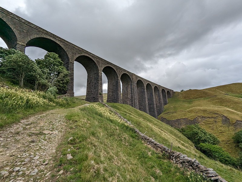
PXL_20230702_100641831
Arten Gill Viaduct.

Tautologically, the stream below is labelled, on the map, both as Arten Gill, and as Artengill Beck.
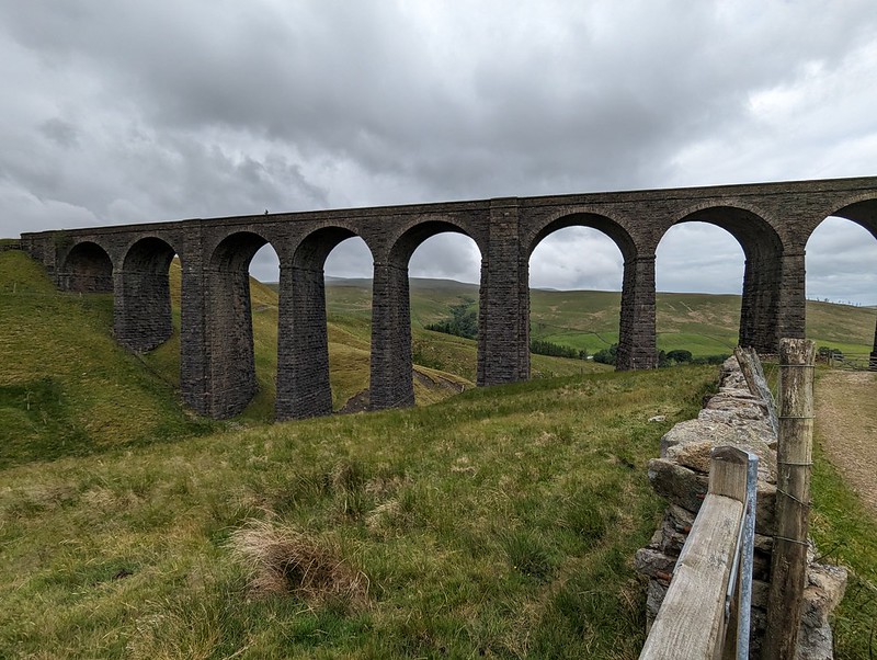
PXL_20230702_101001993
Arten Gill Viaduct.

The skies were beginning to build some ominously dramatic looking clouds and I was soon paying for it in the first of several showers. To be fair, the showers were at least short-lived and mostly not too heavy either.
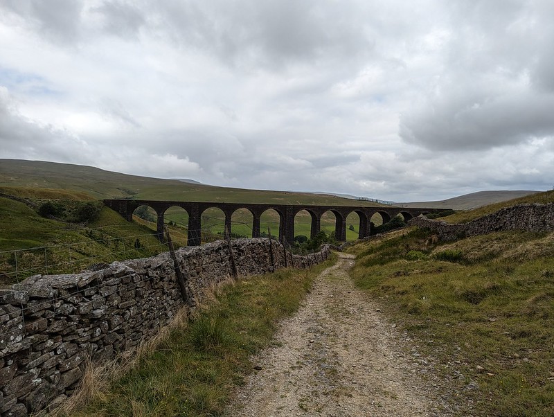
PXL_20230702_101302816
Arten Gill Viaduct.

The track rises steadily, without being hard work and so was ideal. There were lots of birds about – Wheatear and Pipits, but most entertainingly Stonechats.

P1390279
Male Stonechat.

A couple of individuals, first one and then later another, took it upon themselves to fly ahead in little short hops and then stop and wait on the fence, allowing me to get very close before scooting on again.

P1390289
Male Stonechat.

Naturally, I took lots of photos.

I also got overly excited, during a shower, about what I decided was a Mountain Ringlet, even though I strongly suspected that they are not found in the Dales. Which absence would, of course, make my discovery all the more notable and exciting. When I finally got close enough to get a photo and a close look, it transpired that it was in fact a very small Ringlet, of the plain, old common-or-garden variety.
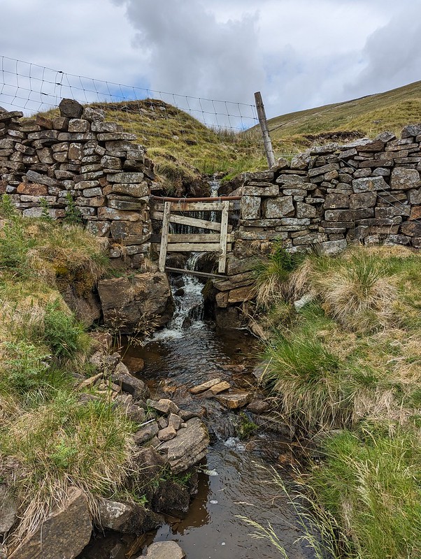
PXL_20230702_102602807
A sidestream.
PXL_20230702_102838669
And another – being neatly directed across the track.
PXL_20230702_103837106
An excess of weather.

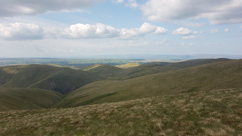
Having reached the top of the pass, I could have taken a direct line up to the top of Great Knoutberry Hill, but I’d done a bit of research online and read great things about the track, Galloway Gate, which contours around the southern and western slopes of the hill.

PXL_20230702_105433978
Whernside from Galloway Gate.
PXL_20230702_110041795
Ingleborough and Whernside and more showers.
PXL_20230702_111302528
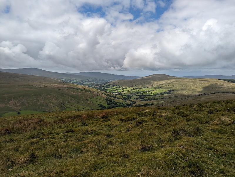
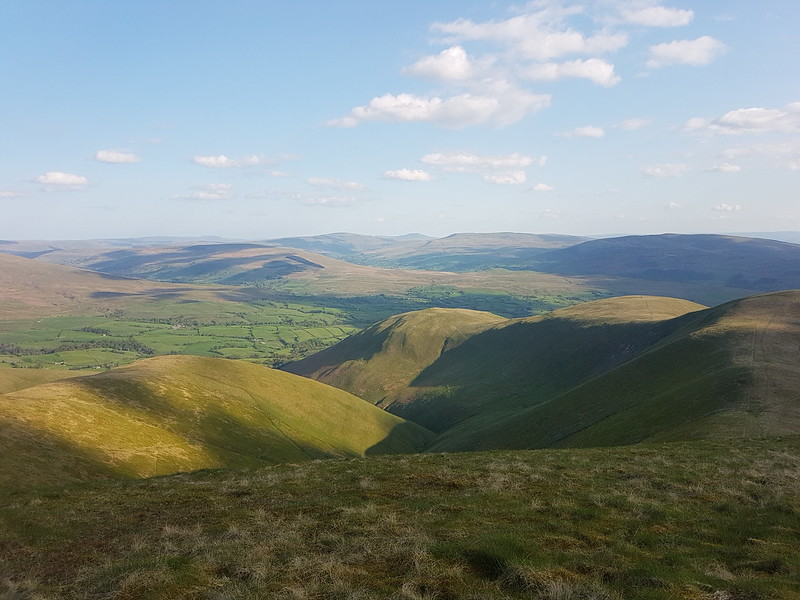
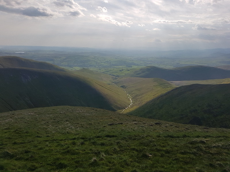
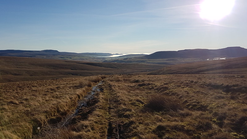
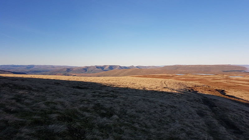
Looking down Dentdale.

Choosing Galloway Gate turned out to be a good decision – it’s a fine walk which gives great views, particularly down into Dentdale.

PXL_20230702_112406784
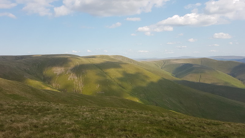
Baugh Fell and Wild Boar Fell from Galloway Gate.

Eventually, I turned right, heading uphill and on to Pikes Edge, where there a number of scattered cairns and even more scattered boulders.

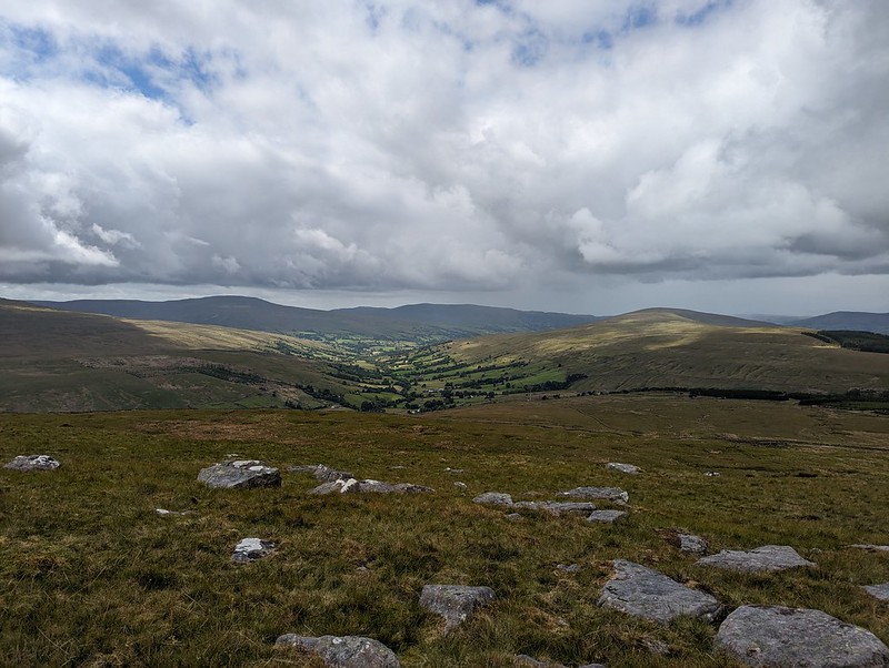
PXL_20230702_114229613
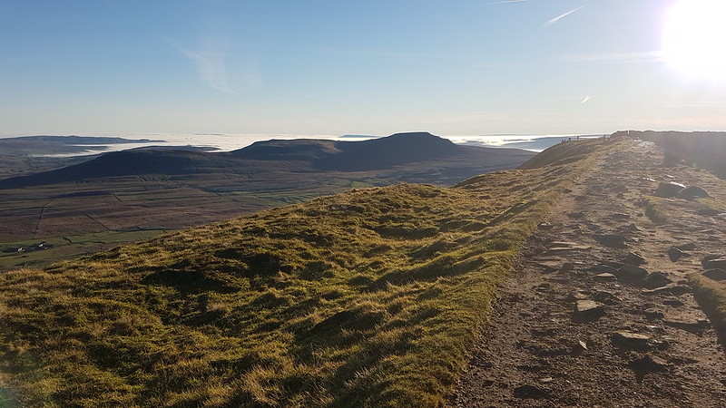
Ingleborough and Whernside from one of the cairns on Pikes Edge.
PXL_20230702_114233650
Looking down Dentdale again.

As I approached the summit of Great Knoutberry Hill, I was engulfed in by far and away the heaviest shower of the day – for a while it was really chucking it down. A little annoyingly then, I found that I had unpacked my waterproof trousers from my rucsac, which is something I very rarely bother to do. Since I was wearing shorts anyway, and my waterproof trousers are mostly holes and layers of duct tape patched up with more duct tape, it probably wasn’t that great a loss.
Also, this stone seat, possibly of random rubble, was facing away from the wind…

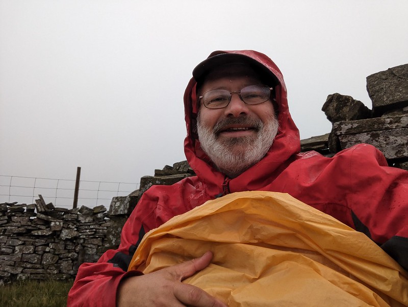
PXL_20230702_122731302
Stone seat/shelter on Great Knoutberry Hill.
PXL_20230702_120730439
Lunch stop in a Bivvy bag in pouring rain.

Since the rain was falling horizontally, once I was hunkered down on the seat, and snug inside my bivvy bag, I was able to enjoy my packed lunch and a brew despite the rain.
Anyway, it soon started to clear again.
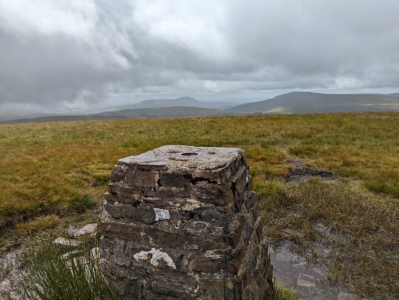
PXL_20230702_121711910
Ingleborough and Whernside from Great Knoutberry Hill.
PXL_20230702_121944135
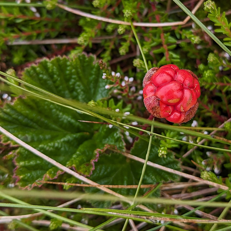
Cloudberry – or Knoutberry.

I had a bit of a wander in the vicinity of the trig pillar and found several Cloudberries. I don’t think I’ve ever seen them before, although I shouldn’t have been surprised to find them here, since Knoutberry is apparently a local name for Cloudberries. I also read that they are regarded as somewhat of a delicacy in Scandinavia; that the UK population of plants is predominantly male, so that it’s rare to find fruit; and that this example isn’t ripe, since they turn orange when they’re ripe.

PXL_20230702_121907142
Widdale Tarns.

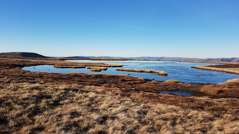
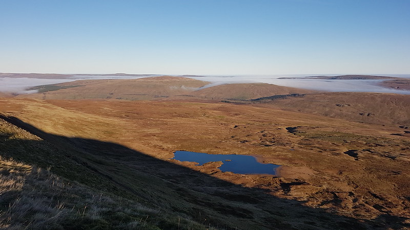
Great Knoutberry Hill is merely the highest point on the huge expanses of Widdale Fell. Beforehand, I had been contemplating a little wander to explore the tarns at least, but based on the area around the summit, I decided that it would be very rough going and that I would leave that for another day.
Looking at the map again now, I see that Widdale Fell has an impressive looking edge above Widdale itself, that most of the streams drain either directly into the River Ure or into the Ure via Widdale Beck; but that some of the streams run down into Garsdale and the River Clough – a tributary of the Lune which I haven’t explored at all yet: so I shall need to come back at some point.

On this occasion I took a more direct route back towards the crossroads between Great Knoutberry Hill and Wold Fell.

PXL_20230702_123550837
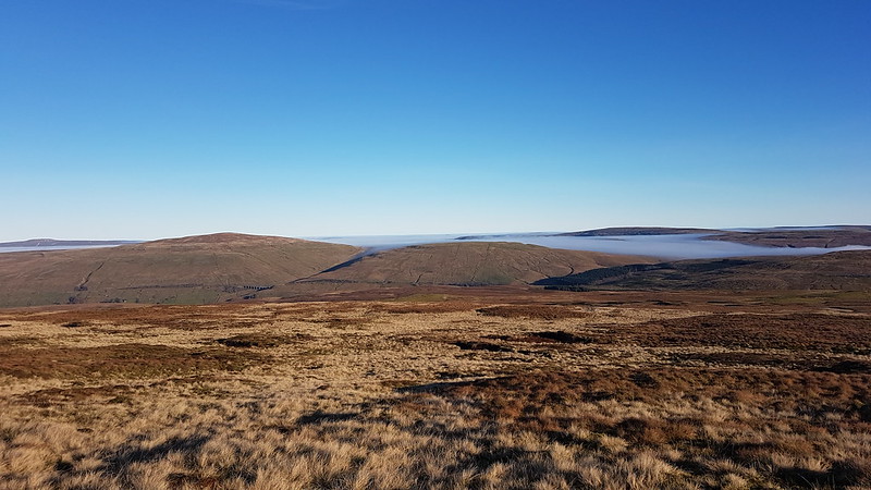
Pen-y-ghent, Wold Fell, Ingleborough and Whernside.
PXL_20230702_125258048
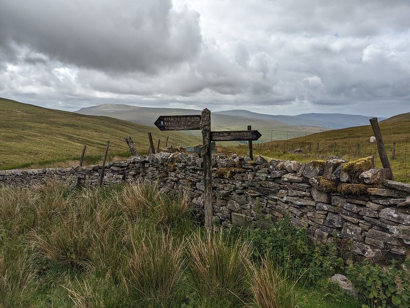
Pennine Bridleway signpost.

This is the signpost at the crossroads, which I hadn’t photographed when I first passed it because it had been raining at the time. This track is part of the Pennine Bridleway, a route which, like the Dales Way, some of which I also lay on this route, always seems superb wherever I encounter it.

PXL_20230702_130425913
Wold Fell.
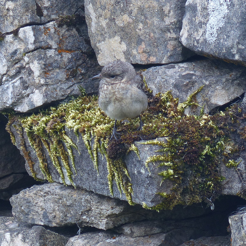
P1390299
Juvenile Wheatear.
PXL_20230702_132319399
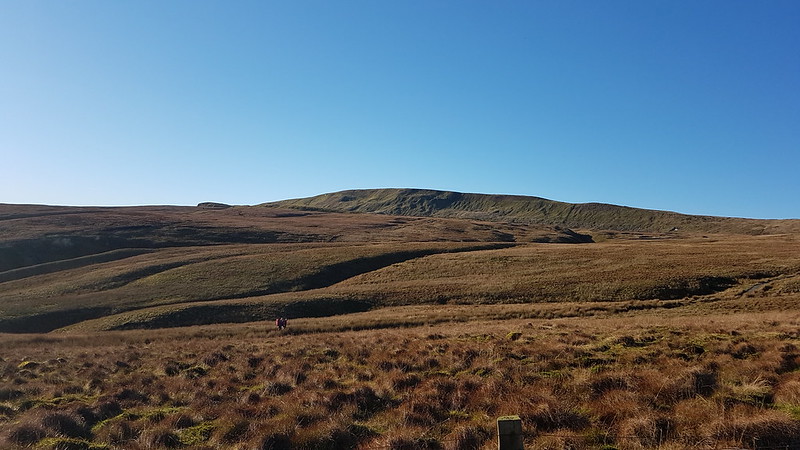
On Wold Fell, looking back to Great Knoutberry Fell.

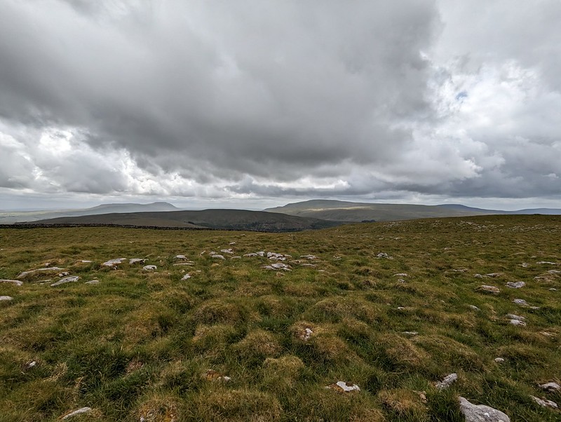
Wold Fell was quite odd: limestone pavement, mostly grassed over, a very flat topped hill – there was a small cairn, as you can see, but it was very difficult to tell whether that was the actual highest point of the fell.
PXL_20230702_133155656
Ingleborough and Whernside from Wold Fell.

The lump between, and in front of, Ingleborough and Whernside is Blea Moor. I’ve often looked at it, especially when climbing Whernside from Little Dale via Greensett Tarn, but never been up it. I suppose I might get around to it at some point, although the lower slopes above Ribble Head are a bit of-puttingly rough and reed covered.
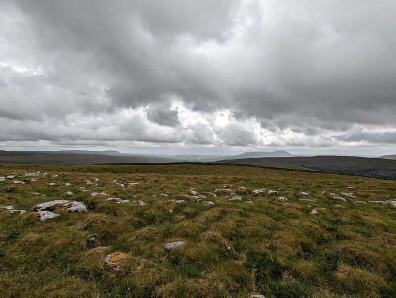
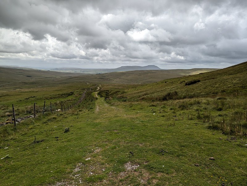
PXL_20230702_133159341
Pen-y-ghent and Ingleborough from Wold Fell.
PXL_20230702_134528470
Descending towards Ingleborough.

From Wold Fell it was a simple romp down a track and then a minor road, accompanied by a couple more brief showers, back to the car.
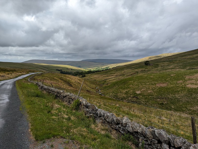
PXL_20230702_141620353
Fell End Gill.
PXL_20230702_142315214
Dent Head Viaduct again.
PXL_20230702_142857831
Common Spotted-orchid.

As almost always seems to be the case with my Lune Catchment outings, it was a very satisfying trip, packed with interest, from which I came away with a host of ideas for possible future excursions.
PXL_20230702_184912343
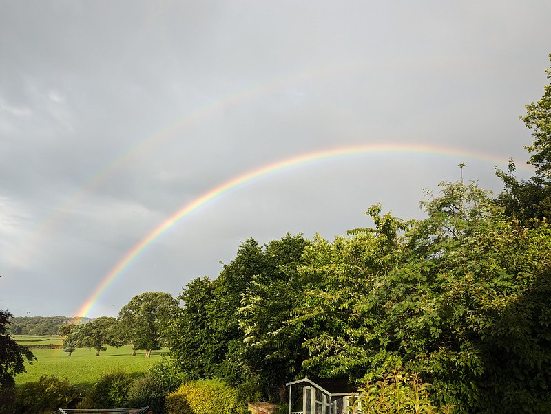
More showers at home – and a double rainbow.

Back at home, there were more showers, and this time an accompanying double rainbow.

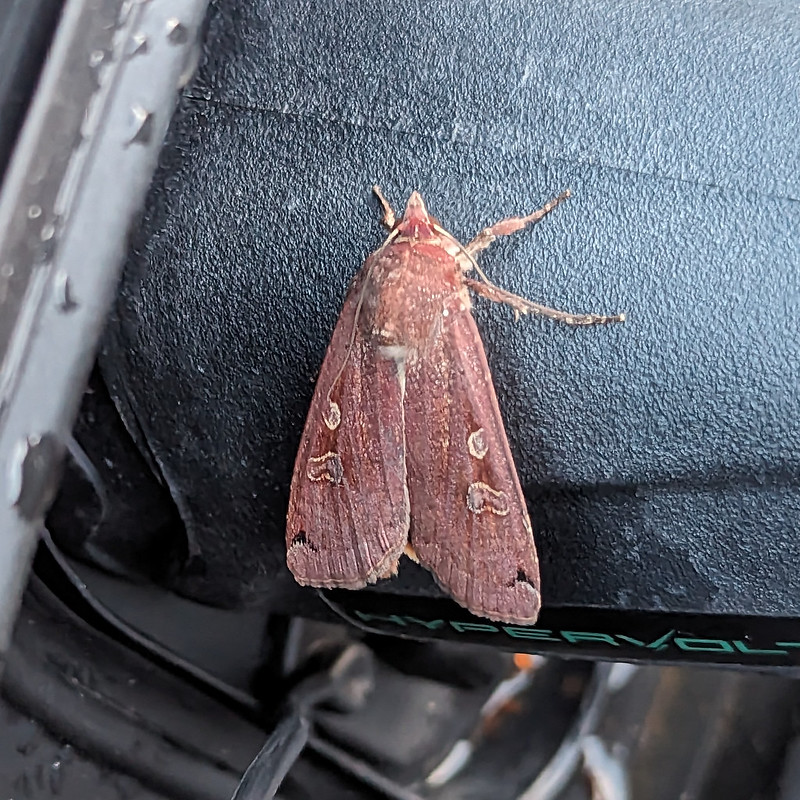
Later still, around 10pm, Little S sent me back outside to have a look at the moth which was resting on the plug on the charging cable for our car. It was dark and I’m amazed that my phone managed an image as clear as this…
PXL_20230702_205941092.NIGHT
A Large Yellow Underwing?

I’m told that this is a Yellow Underwing Moth , although to an untutored eye it also looks very similar to a Square-spot Rustic Moth. I’ll settle for it being a lovely colour, whichever.

Map the first.
Map the second.

MpaMyWalk gives a little shy of ten miles and 485 metres of ascent, which seems about right.
Great Knoutberry Hill and Wold Fell

The Rawthey, The Lune and The Howgills.

20230520_102947
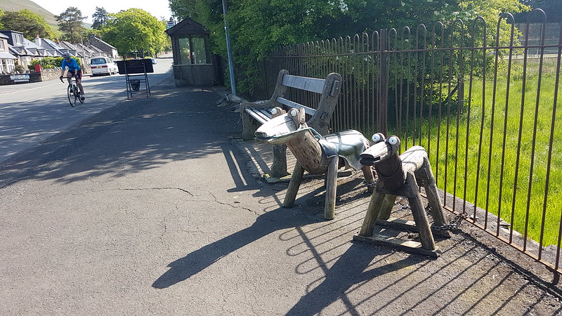
Street furniture, Sedbergh.

If you take an interest in the Lune and its many tributaries, then inevitably you will be drawn to the area around Sedbergh, where the rivers Lune, Rawthey, Clough, and Dee all meet in close proximity. I’ve been looking at the map and trying to work out routes which take advantage of that fact a great deal. The night before this walk, I had the ridiculous idea of following the Rawthey and the Lune from Sedbergh as far as Crook of Lune, crossing the Howgill Fells to Cautley and then returning to Sedbergh along the Rawthey. Even I realised that was overly ambitious, but I set off anyway, with a compromise plan which I knew would really be the route I would end up walking.

20230520_103322
The playing fields of…Sedbergh School.

I parked not far from Sedbergh School, where, years ago, B played in a couple of sevens tournaments and I got to poke about and see how the other half live and wonder at all the wealth on display. From there, I wandered along a minor lane, past the cemetery, to the tiny Hamlet of Birks. I was very taken with Birks, where there are several very old, listed properties, of which these are two…

20230520_103923
Birks.

Birks is by the Rawthey, and from here I was able to follow the river downstream towards its confluence with the Lune.

20230520_104226
River Rawthey.
20230520_104338
River Rawthey.
20230520_104356
Birks Mill.
20230520_105140
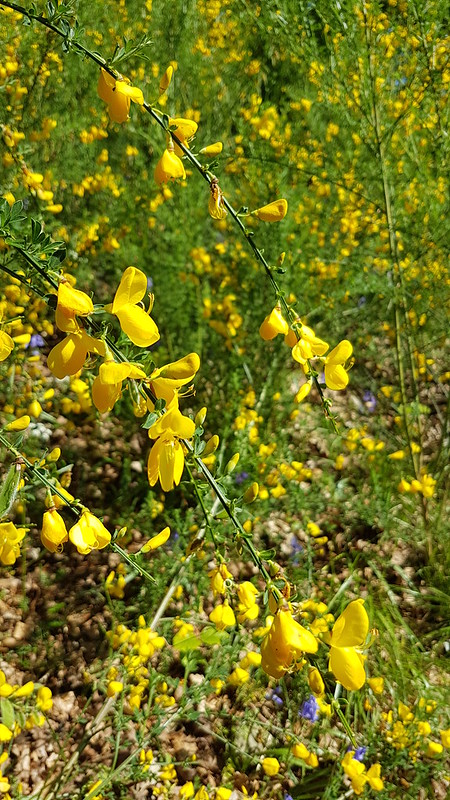
Broom.

When I see bushes with yellow flowers in the spring, I always anticipate Gorse, so I was surprised to find that this little thicket was Broom.

20230520_105201
Broom.

What my photo doesn’t really capture is that all around the Broom the bank was peppered with Bluebells and Stitchwort and the combination of yellow, blue and white looked magnificent.

Opposite where the Dee flowed into the Rawthey, I clambered down the steep bank to take a photo.

20230520_105400
Confluence of the Dee and the Rawthey.
20230520_105406
River Rawthey.

A little downstream for there, the path crossed a disused railway line, with a tall embankment.

20230520_110315
River Rawthey and a golf course.
20230520_110327
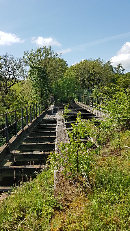
Derelict railway bridge over the Rawthey.

In these health and safety conscious times, there’s a tall and stout fence blocking any access to the bridge, although I did manage to clamber onto a parapet to get a view. Years ago, on a walking tour with my dad and a good friend of ours in Snowdonia, we followed a disused railway line and crossed a derelict viaduct much like this – it was exhilarating to say the least.

20230520_110404
Brigflatts from the bridge.

I was hoping to visit the Quaker church at Brigflatts, but it seemed that there was no access from the riverbank path, so that will have to wait for another time.

20230520_110457
Germander Speedwell.
20230520_110517
Path along the old railway line.

There’s no official path along the railway, but it looks like it’s being used regularly – something to store away for future walks.

20230520_110734
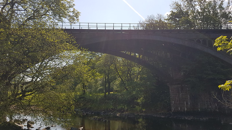
The bridge from below.
20230520_110914
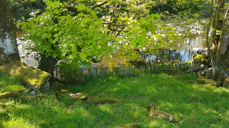
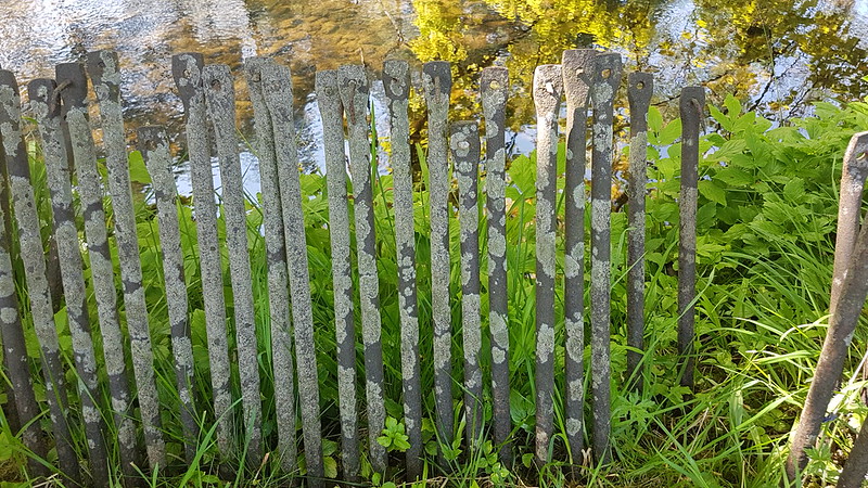
A mini ‘fence’ by the river.

I was really puzzled by this miniature ‘fence’ by the riverside. The only time I’ve encountered metal rods quite like this, we were using them as pegs to guy a small marquee we borrowed every year for the village Field Day.

20230520_110931
Made of giant pegs?

Close by there was a small, clearly man-made plinth which I thought looked like the footings for a bridge. Does anyone have a theory what these might be and why they would be lined up ‘on parade’ by the river’s edge?

20230520_113010
Winder in the Howgill Fells.

The path I was following, and the route I would take as far as Crook of Lune, is part of the Dales Way. Based on this section, I suspect it would be a great long distance route to follow.

20230520_115615
Holme Knott.

I’ve climbed the Middleton Fells a number of times over the years, but not Holme Knott at the northern end of the ridge, and recently I’ve been eyeing it on the map and dreaming up routes which incorporate an ascent. It must surely have great views of the rivers and their confluences?
This photo was taken as I stood by this little footbridge…

P1370368
Little bridge over Haverah Beck.

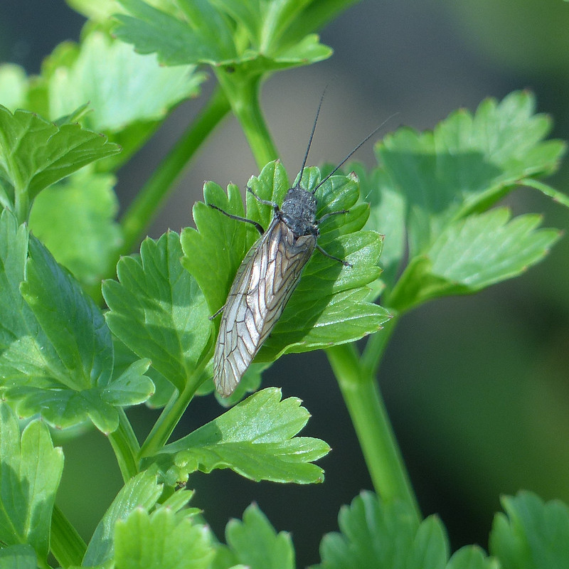
As I crossed the bridge, I noticed this Alder Fly…

P1370311
Alder Fly.

This encounter sparked a lengthy hiatus in my walk, and in this post I suppose, as I realised that the lush vegetation in and by the stream, mostly Wild Celery, Mint and Brook Lime I think, was home to an abundance of creepy-crawlies.
I took loads of photos, and here are a few of them. Well, quite a few. If you’re more interested in views than in small creatures, you might want to scroll down a bit.

P1370338
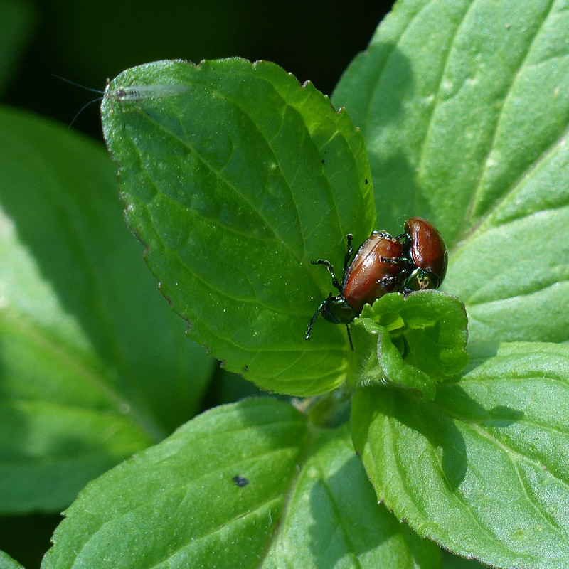
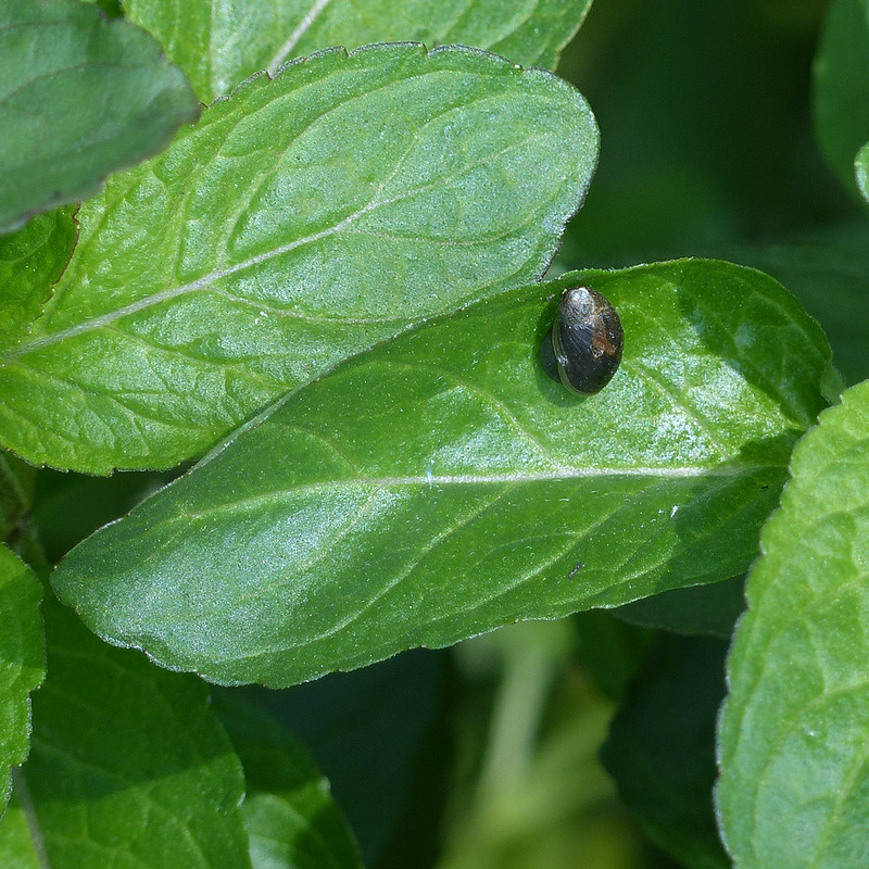
Chrysolina polita.

There were lots of these beetles, common and widespread apparently, which hasn’t prevented them being unknown to me. I’m a sucker for a beetle with a metallic sheen.

P1370358
Chrysolina polita.
P1370362
Chrysolina Polita.
P1370327
Chrysolina polita
P1370336
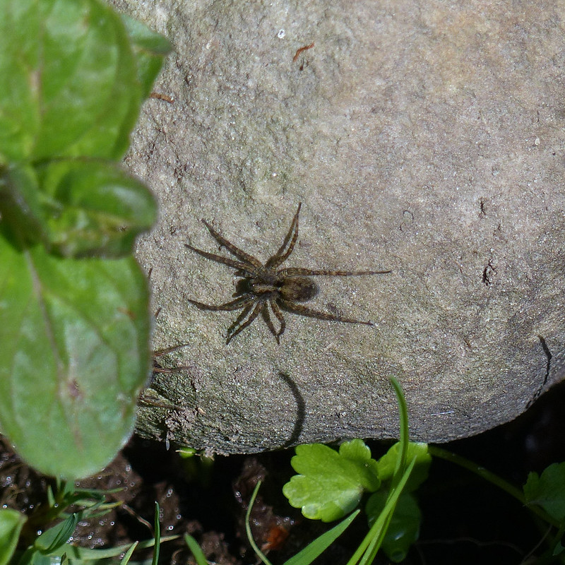
A Wolf Spider, male.

Quite a few Wolf Spiders too, on the rocks at the edge of the stream.

P1370346
Wolf Spider, female.

“The wolf spider is a medium-sized spider that hunts on the ground during the day; it chases down its prey and leaps on it, just like a wolf.”

P1370369
Wolf Spiders – two female, one male. The female in the bottom right is carrying an egg sac.

“Wolf spider young disperse by using silk ‘parachutes’ to float away on the wind.”

Source.

There are quite a few UK species of Wolf Spider, but apparently an examination under a microscope is required to make a confident identification, and I’m happy with Wolf Spider anyway.

P1370340
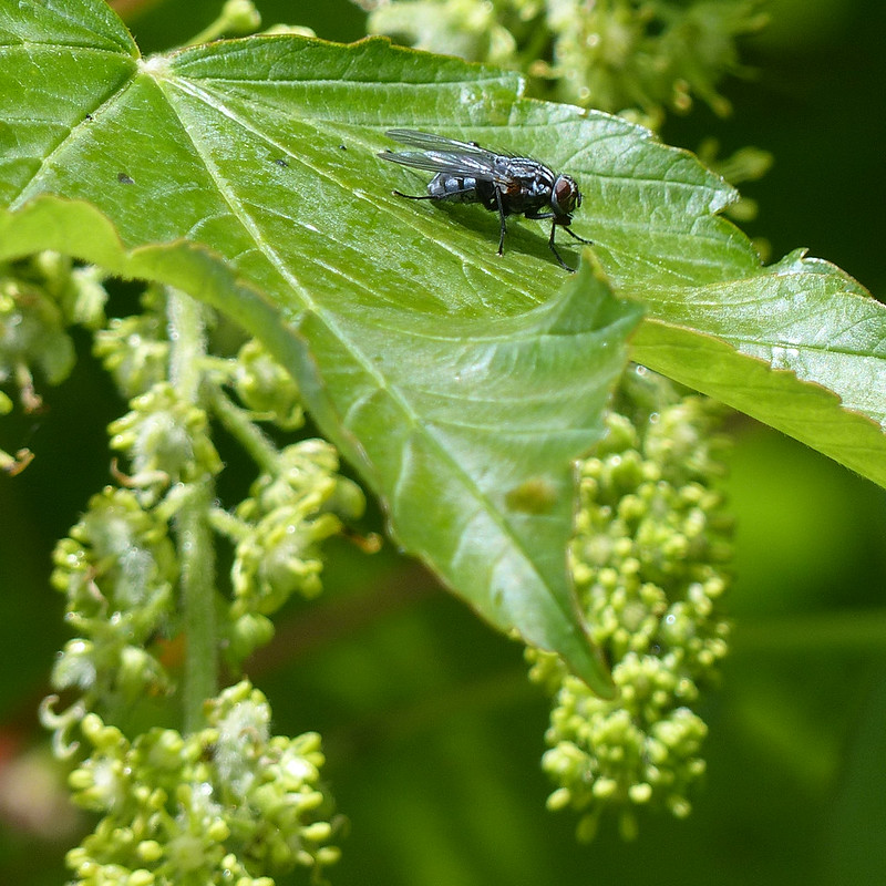
Fly – possibly Graphomyia Maculata, female.
P1370357
Fly – possibly Graphomyia Maculata, female.
P1370342
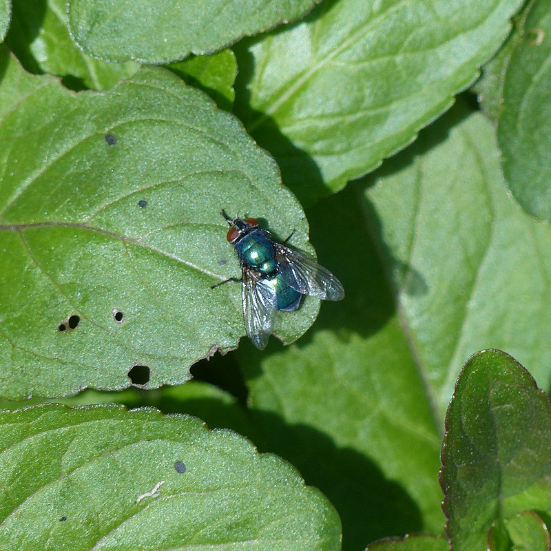
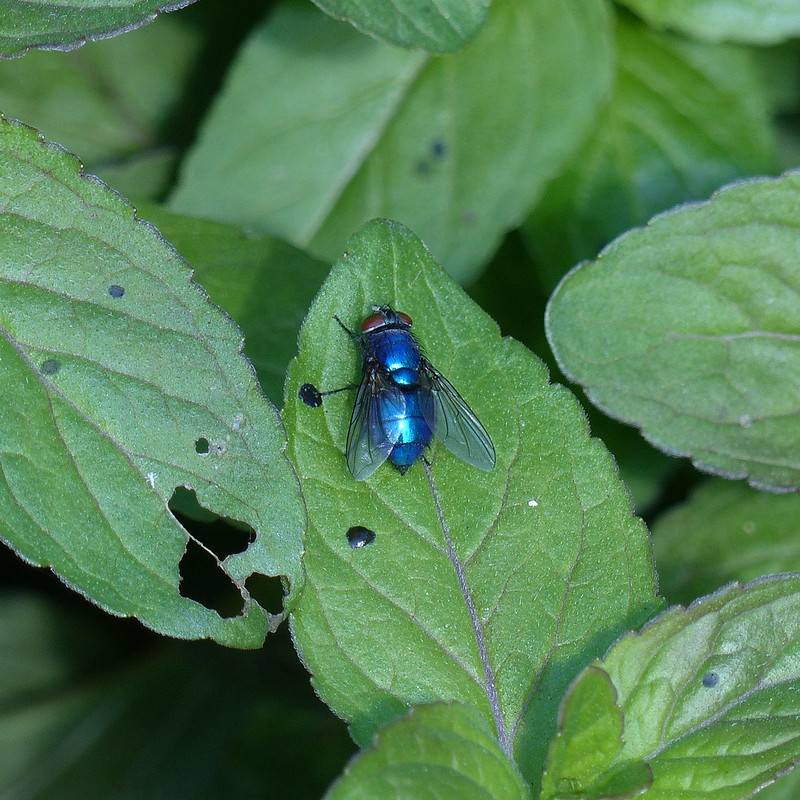
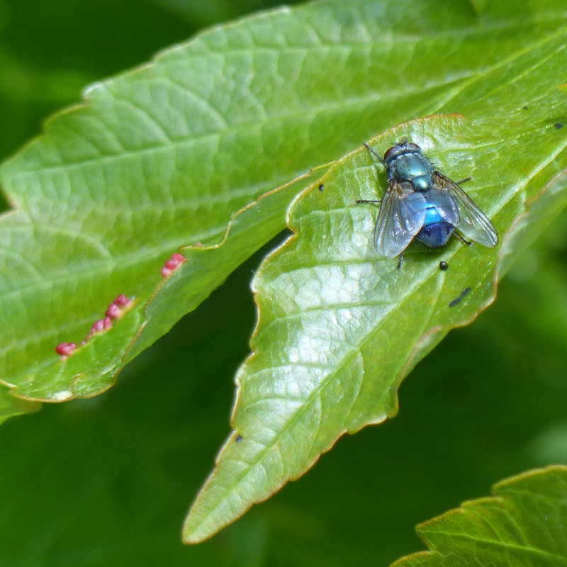
A Greenbottle, or something like it.

Not all shiny green flies are Greenbottles so this is a tentative identification.

P1370343
Also a Greenbottle, or something like it. I think.

You might think a shiny blue fly would be a Bluebottle, but I don’t think this one is; according to my field guide, the abdomen of a Greenbottle “ranges from bright green to bluish green”, so I’m inclined to think that this is another Greenbottle, although, admittedly, this is more blue than green.
Incidentally, could that be another reflected selfie just by the edge of the left wing of the fly?

P1370355
Also a Greenbottle, or something like it. I think.

Then again, this one is blue and green, so what to make of that?

P1370360
Pfeiffer’s Amber Snail – Oxyloma elegans

There were lots and lots of these tiny snails. At first, I wasn’t even sure that they were snails.

P1370378
Pfeiffer’s Amber Snail.

Apparently, unlike other snails, they can’t completely withdraw into their shells.

P1370370
A Drone Fly – Eristalis pertinax, female.

And there ends the sample of the many photos which I took during what was probably about a half an hour of snapping away. A very happy half-hour.
What the group of four who walked past me thought of my intense absorption I suppose I shall never know.

20230520_120025
The path to The Oaks.
20230520_120307
Wisteria.
20230520_121542
Bluebells.
20230520_122116
Arant Haw and Winder.
20230520_122650
Lincoln’s Inn Bridge.

Probably Seventeenth Century according to Historic England. Very elegant, I thought.

20230520_122656
The Lune, looking downstream from near Lincoln’s Inn Bridge.
20230520_124142
Lune Viaduct.

The second of three viaducts on the walk, here’s the lowdown…

“The Lune Viaduct carried the railway 30 m (100 ft) above the river Lune on a 38 m (124 ft) cast iron arch. It was suspended between three red sandstone arches built on each side of it. The total length was 162 m (177 yds). Its beautiful setting has earned it a listing of Grade II*.

A little to the south a bridge consisting of an arch identical to that on the Lune Viaduct crosses the river Rawthey.

North, an 11 arch red sandstone viaduct set on a curve crossed the Dillicar Beck at Low Gill, shortly before the railway joined the main line. This too is a marvellous site in a splendid setting. Both of the latter two are listed Grade II.”

Source

20230520_125144
Lune Viaduct.

Restoration work was fairly recently carried out on the bridge; it’s a shame that the line wasn’t converted in the process into a footpath or cycleway as has been so successful elsewhere.

P1370386
Ravens (I think) nesting on the viaduct.

From the viaduct, the Dales Way climbs a little above the river and passes through fields and past a number of picturesque farmhouses.

20230520_125150
Another view of Arant Haw and Winder.
20230520_125540
Low Branthwaite.
20230520_133048
Howgill Fells pano – with bonus fells on the left.

It was lovely walking. Around here somewhere, I was overtaken by a father and (grown up) son who were walking the Way together. They were walking much faster than me (although I did bump into them again a little later), but slowed down to chat for a while. They were really enjoying their walk and did a very good job of selling the Dales Way.

The route rejoins the river just beyond Hole House…

20230520_133434
Hole House.

At Hole House there seemed to be two houses connected by a little section of roof, which struck me as very neighbourly and practical.

20230520_133929
River Lune.

Maybe not the best photo – a fence prevented getting closer – but here the river passed through a very narrow, rocky cleft, clearly flowing at great speed. Just upstream the river is much wider and far more placid looking…

20230520_134153
River Lune.

I’ve been reading river guides, for kayakers, to the river and some of it is pretty sobering – we shan’t be venturing onto it in our open inflatable canoes any time soon.

Near where Chapel Beck flows into the Lune I met the four walkers who had passed me by Haverah Beck and who’d now found a very pleasant spot for their picnic lunch.
I dutifully took photos of all the points where sidestreams entered the Lune, including Chapel Beck, and of the many footbridges which took me over those streams, but have decided not to include those not particularly exciting pictures in what may already be an overlong post!

20230520_135554
Crook of Lune Wood.

The woods here were full of Bluebells, but, as usual, my attempts to capture the way the flowers seem to blush the woodland floor a deep blue failed miserably.

20230520_140010
Bluebells and Stitchwort.
20230520_141442
Lowgill Viaduct – Grayrigg Forest behind.

Sadly, there’s isn’t a great view of Lowgill viaduct from down by the river – I guess I will have to come back. What a shame!

20230520_142044
Crook of Lune Bridge.

“Believed to be C16 or earlier. Humped and unusually narrow. Forms part of ancient north-south route along Lunesdale, used in C17 and C18 by drovers. A very picturesque feature in this setting.”

Historic England listing.

TBH can attest to the description ‘unusually narrow’: she wasn’t best pleased about my navigation last year when she was driving us this way to meet our ‘camping friends’ for a walk.

That day we climbed Fell Head…

20230520_142123
Looking up the Lune to Fell Head.

…which is where I was headed on this occasion too.

I’ve been wondering why I have no photos from my hot sticky ascent out of the valley up towards Four Lane Ends, or of the clearly little used path through the farmyard at Riddings, or of the rather nice looking little campsite at Beck House, where the lady of the house escorted me through a small section of track by the house which was sardined with Sheep. I’m not sure whether it was a kindness or whether she was worried that I would let the Sheep escape, or perhaps a mixture of the two. Anyway, it occurs to me now that the reason that I didn’t take any photos until I’d climbed most of the way to the shoulder of Fell Head called Whin’s End is that my phone had been low on charge, so I’d plugged it into the portable charger Little S bought me and stuffed it into the top of my rucksack, where it wasn’t handy for quick snaps.

I retrieved it again when I halted for a rather belated brew stop.

20230520_153947
Looking across the Lune Valley to Firbank Fell and Lambrigg Fell. Lowgill Viaduct on the right.
I climbed Lambrigg Fell once, many years ago, and remember bumping into and chatting to the farmer, who expressed his surprise to meet anyone else up there.

20230520_161507
A pano from Whin’s End.

The path I took onto Whin’s End, seen in the photo above, is the same path which we used to contour round to Blakethwaite Bottom for a wild-camp one wet weekend six years ago. I was thinking I should come back some day and walk its entire length.

20230520_161602
Grayrigg Pike and Tebay Gorge.
20230520_161614
Fell Head.
20230520_165014
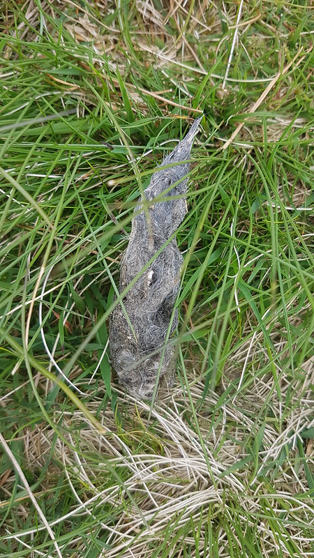
Fox scat, I think.

I know, I’m sorry, but I’m increasingly struck by how many hill-paths are regularly marked with fox scat. I’m encouraged to think that there must be a very healthy population of foxes on our hills even though we rarely see them.

20230520_165139
Northern Howgills and the Pennine skyline.
20230520_165205
Lune Valley, Bowland Fells and, in the distance, the Kent Estuary and Arnside Knott.
20230520_165222
Howgill Fells.
20230520_172810
Approaching The Calf and White Fell Head.

It was getting on a bit by now, but there were still a few other walkers on the Howgill tops.

20230520_181555
The valley of the Rawthey, Garsdale and Dentdale. Ingleborough and Whernside in the centre.

Given my Lune obsession, I was really thrilled by this view of three valleys which carry major tributaries all converging.

20230520_181730
Arant Haw.
20230520_182014
The light catching Bram Rigg Beck.
20230520_183911
Looking back to Calders.
20230520_183930
‘Three valleys’ pano.
20230520_192156
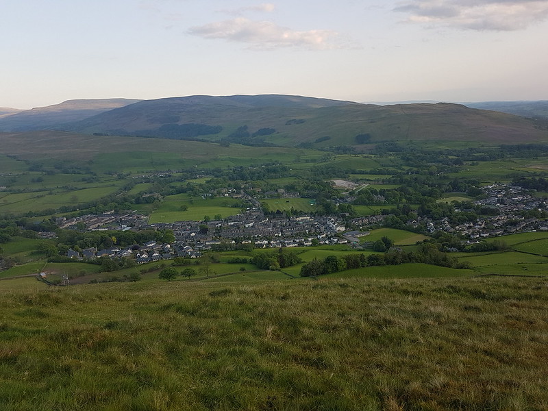
Sedbergh.

By the end of my walk, it was getting a little shady for photos. As I descended, I could hear a crowd cheering and some sort of open-air concert. I could hear the vocals very clearly and the drums up to a point, but no other instruments, some acoustic trick of the topography no doubt. The singer was doing an eclectic set of covers which began with ‘Teenage Kicks’. I don’t remember what the other songs were but I do recall being impressed by the choices, and it sounded like the crowd were appreciating it too.

Map 1

MapMyWalk gives a little over 16 miles and about 750m of ascent. Probably best I didn’t try to extend the route down to Cautley. However, how about a Tour de Howgills? Now then!

Map 2
The Rawthey, The Lune and The Howgills.

Wide-Ranging Whernside Views

20211219_110120
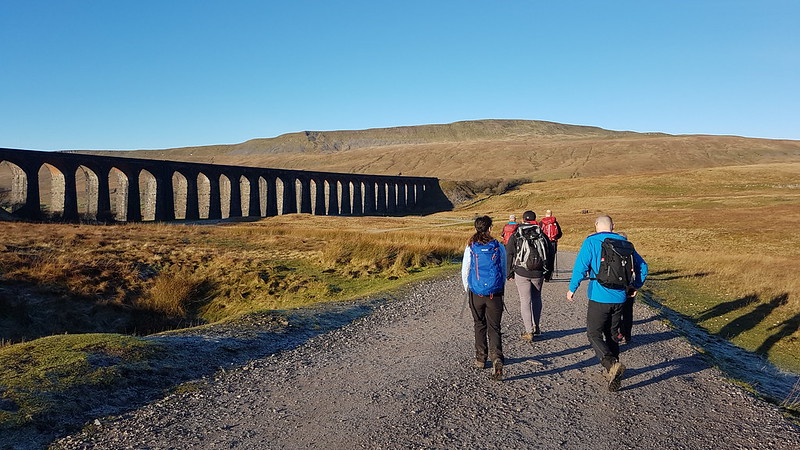
A reduced team near the start of the walk by Ribblehead Viaduct. Whernside behind.

The next day, a Sunday, we were better prepared. Up and out! The early bird and all that. We were walking just before 11 – practically an Alpine start! We were a much smaller party, with many of the group having opted for a waterfalls walk from Ingleton. The weather was magnificent again.

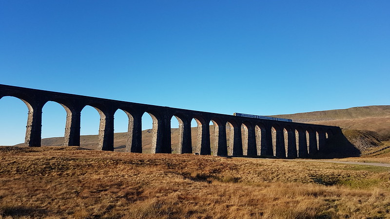
As ever, the Ribblehead Viaduct looked stunning; even more so when a train crossed for some reason.

20211219_110439
20211219_115023

Andy had a cunning plan, we first followed the railway line as far as Force Gill. There we turned uphill – this is a route I’ve taken many times recently, but where a second left turn would have taken us up towards the Greensett Tarn and the top, instead we continued on, following the Craven Way path which curls around the shoulder of Whernside and down into Dentdale. This is where Andy’s cunning plan came into play – we left the path at it’s high point and struck across the moor to hit the ridge by the Whernside tarns.

Well, most of us did, UF and the Prof had some objection to this idea, I think they were worried about getting mud on their shoes, or something equally daft. Here they are…

20211219_121738
…on the more direct route to Whernside, where we would meet them again.
20211219_122741
Craven Way track – looking to Pen-y-Ghent and Ingleborough.
20211219_123053
Our diminished group in the vicinity of Craven Wold.
20211219_130525
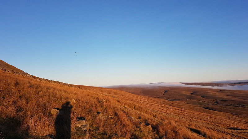
Wold Fell, I think, with Great Knoutberry Hill on the left – both overdue a visit. The deep cleft between them is Arten Gill with Arten Gill Viaduct at the bottom.

We were constantly entertained by the mist on the move: flowing down Arten Gill’s steep valley and across the moors towards Ingleborough.

20211219_131235
One of the Whernside Tarns. Lake District Fells in the background.
20211219_133820
From a little further up the ridge – Howgill Fells in the centre, Baugh Fell on the right with the three Whernside tarns in front of it.
20211219_133844
Greensett Tarn, Pen-y-Ghent beyond.
20211219_134740
Greensett Tarn, Great Knoutberry Hill, Wold Fell and a sea of cloud beyond.
20211219_135348
Approaching the top of Whernside, a view of Ingleborough.
20211219_135423
Great Coum with the Lake District hills behind.
20211219_135427
Howgill Fells.
20211219_135620

This chap was trying to take off, without much success, he would run toward the steeper ground, but then the wind would drag him and his chute back again.

20211219_135740
A summit picnic – reunited with UF and the Prof.

It had been quite mild during our ascent, but it was really quite chilly on the top. The views were stunning – the air was so clear that we could pick out the Isle of Man and the hills of North Wales, both poking above the sea of cloud.

20211219_145458
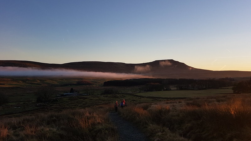
Ribblehead, Pen-y-Ghent beyond. The mist making a much more rapid ascent of Park Fell than we had the day before.
20211219_150827
Here’s the parascender again – finally airborne.
20211219_152831
Ribblehead and mist again and some lovely late light.
20211219_153059
Ingleborough.
20211219_161105
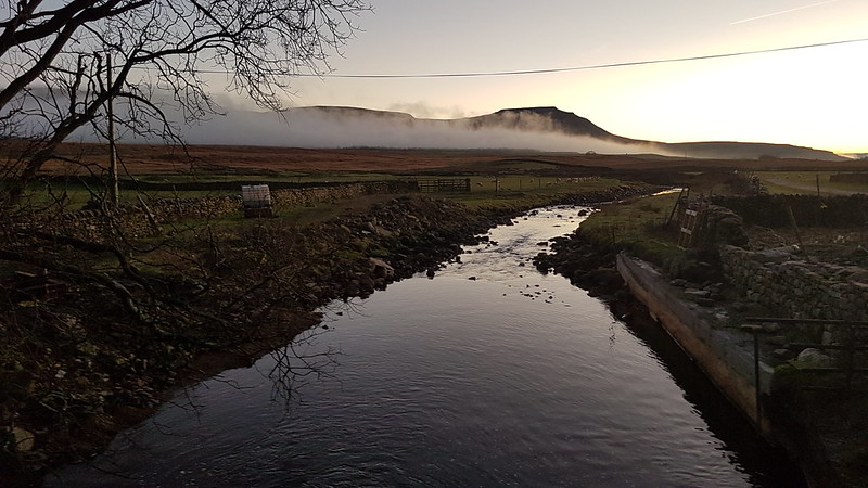
Winterscales Beck and Ingleborough.
20211219_162520
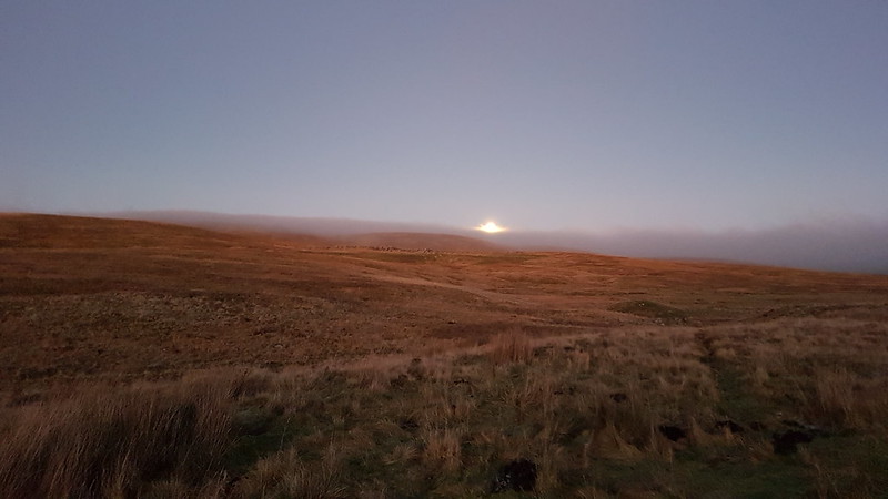
The moon rising above the moor.

A couple of cracking days which will live long in the memory.

Wide-Ranging Whernside Views

Firbank Fell – Three Steeplehouses Walk

P1140110

Howgill Fells from Master Knott.

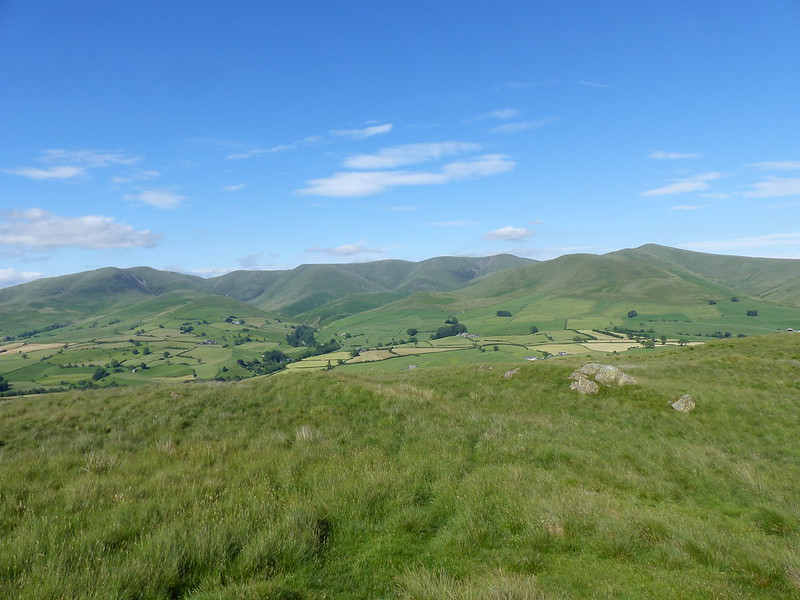
Small, unassuming hills often give the best views. The view across the Lune Valley to the Howgill Fells from Master Knott, a little knobble on the eastern side of Firbank Fell is a case in point.

P1140112

Panorama – click on the photo (or any others) to see larger versions on Flickr.

But I’m getting ahead of myself. This was another after work outing and another chapter in my exploration of the Lune catchment area.

I’d driven up the narrow road from Black Horse on the A684. For once I’d  done a bit of research in advance and had read that it was possible to park on the verge here. And it was, just about, but my car is small and I don’t think I would park here again – it was a bit tight.

P1140098

One advantage of this high starting point was the view back down the road of the Lune Valley to the south.

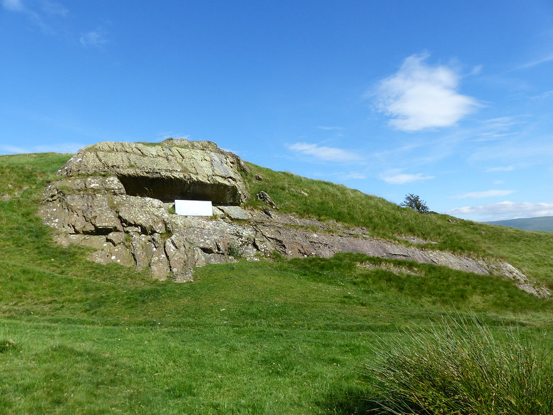
I was here to visit Fox’s Pulpit. The map suggests that it might be a little way from the road, but in fact I could see it as soon as I pulled up. This is it…

P1140099

P1140100

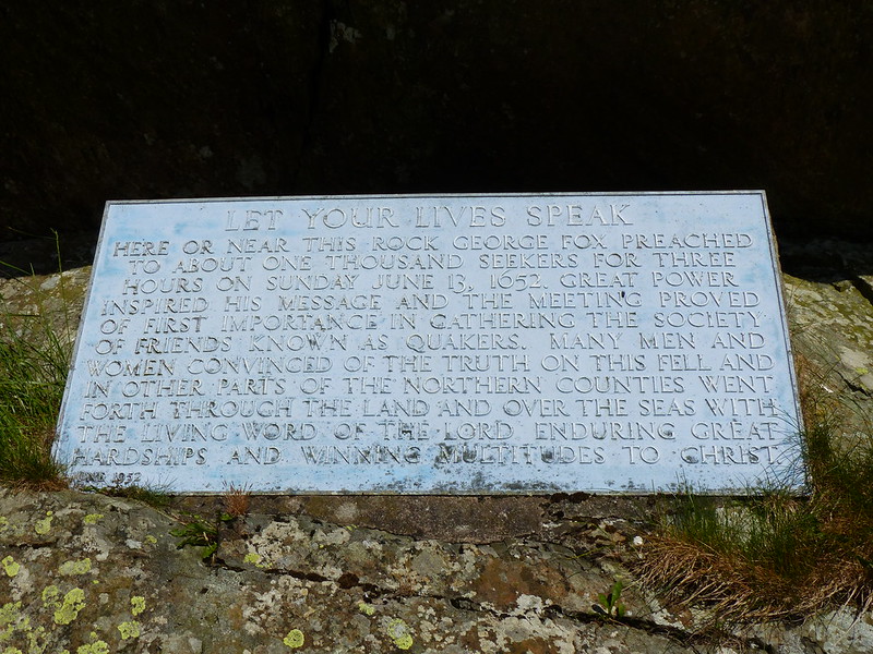
Apparently, the meeting commemorated here, which happened in 1652, is considered by some to be the beginning of the Society of Friends, or Quakers.

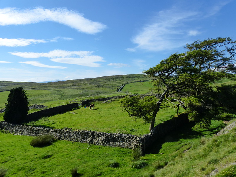
This small field…

P1140114

…is shown on the OS map as a graveyard, but in Fox’s time there was a Church here.

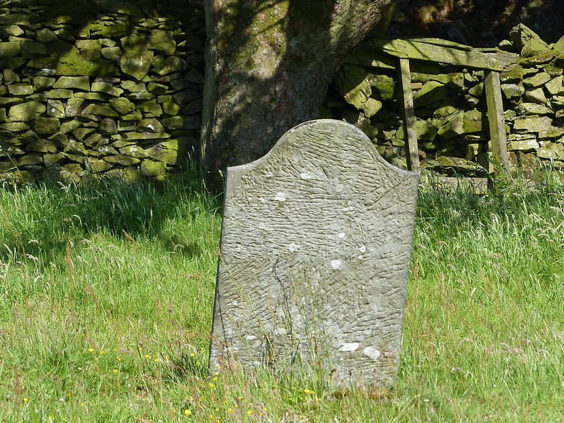
One gravestone still remains…

P1140097

Fox preferred to preach outside in the open, although, it occurs to me that if there were around ‘a thousand seekers’ present then getting them all into a small hillside chapel may have been impractical anyway.

P1140096

George Fox had an interesting life but the fact that will stick with me, I think, is that he was born in the village of Drayton-in-the-Clay in Leicestershire, not so far from where I grew up. It’s called Fenny Drayton now and I’m pretty sure that I’ve cycled through the village a few times, although all of them a very long time ago.

On the short walk from Fox’s Pulpit to the top of Master Knott I was entertained by this Silver Y Moth…

P1140106

…which proved devilishly difficult to photograph. There was quite a breeze and each time it flew I wasn’t completely convinced that it could control the flight. After landing it would continue on foot, walking surprisingly quickly, often low down beneath the grass and other vegetation. You can just about see the Y on its wing which gives it its name.

P1140109

“I try quite hard to learn the flowering plants but must confess to having long ago thrown in the towel when it comes to the pea family.”

A Natural History of the Hedgerow by John Wright

And this from someone who elsewhere in the book talks authoritatively about obscure things like Rusts and Smuts and Lichens and Liverworts. I’m going to tentatively hazard that the single flower above is Bush Vetch (but am ready to be corrected).

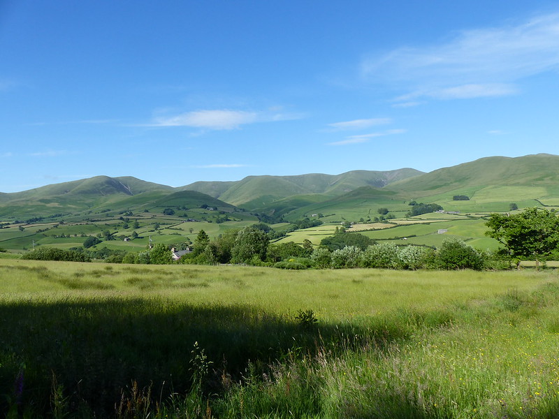
From Master Knott I returned to the road, taking the path to the north which heads down into the Lune Valley. It shortly brought me to the field in the foreground here, just beyond the gate, which was decidedly wet underfoot and full of interesting flora and fauna.

P1140116

I wasn’t fast enough to photograph the wonderful black and red Cinnabar Moth, the Small Heath butterflies or any of the small birds, but I enjoyed seeing them. Many of the very vigorous plants looked like they had either just finished flowering or were just about to flower. Some were giving a fine display, however…

P1140121

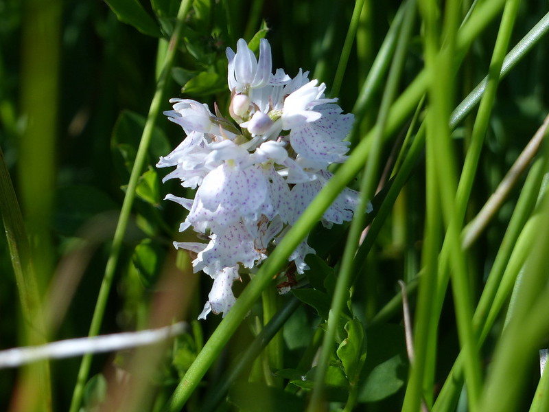
Heath Spotted-orchid.

I’m pretty confident that this really is Heath Spotted, unlike the last orchid I identified as such on the blog, which I’m even more uncertain about now – I’m more inclined to think that is was Common Spotted after all.

P1140122

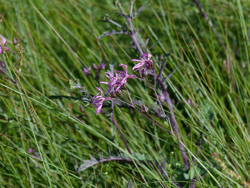
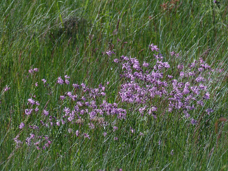
Ragged Robin.

P1140123

P1140129

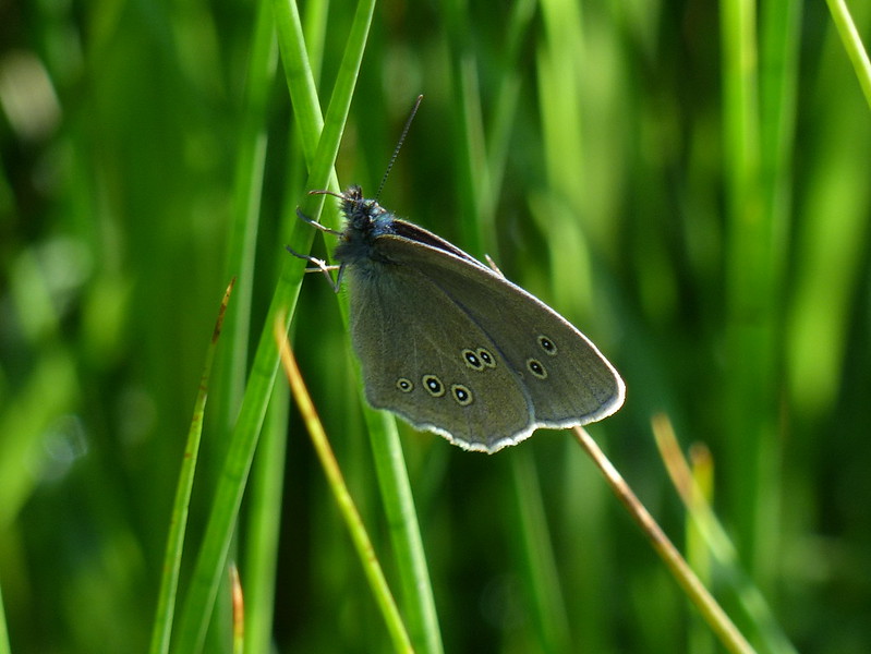
Ringlet.

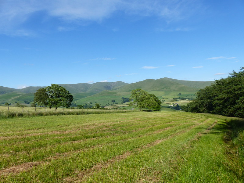
The next field had been recently mown, but was just as busy with butterflies and equally mobbed with dragonflies.

P1140130

The trees on the right border a tributary of the Lune, unnamed on the OS map.

These…

P1140138

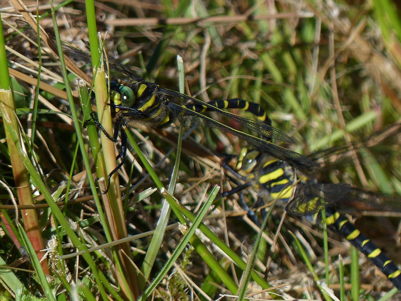
…flew past me and then landed close enough by for me to locate them afterwards. They are Golden-ringed Dragonflies, Britain’s longest species at around 8cm.

This is the male…

P1140142

…he has already transferred semen to his accessory genitalia and is grasping the back of the female’s head with his anal appendages in the hope that she will curl the tip of her abdomen forward to transfer that semen.

P1140148

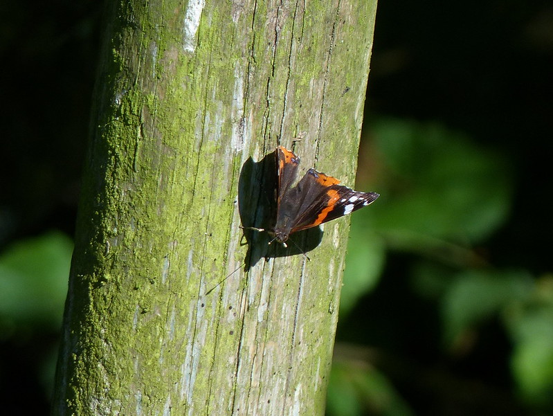
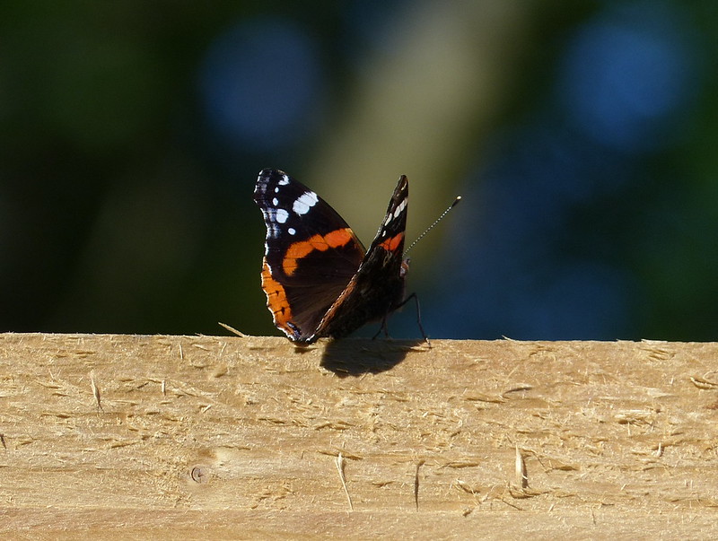
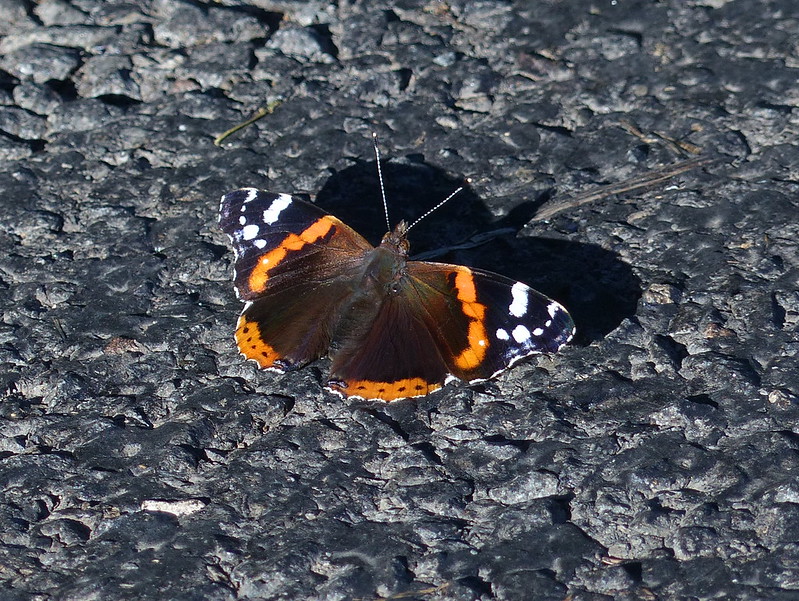
Red Admiral.

P1140150

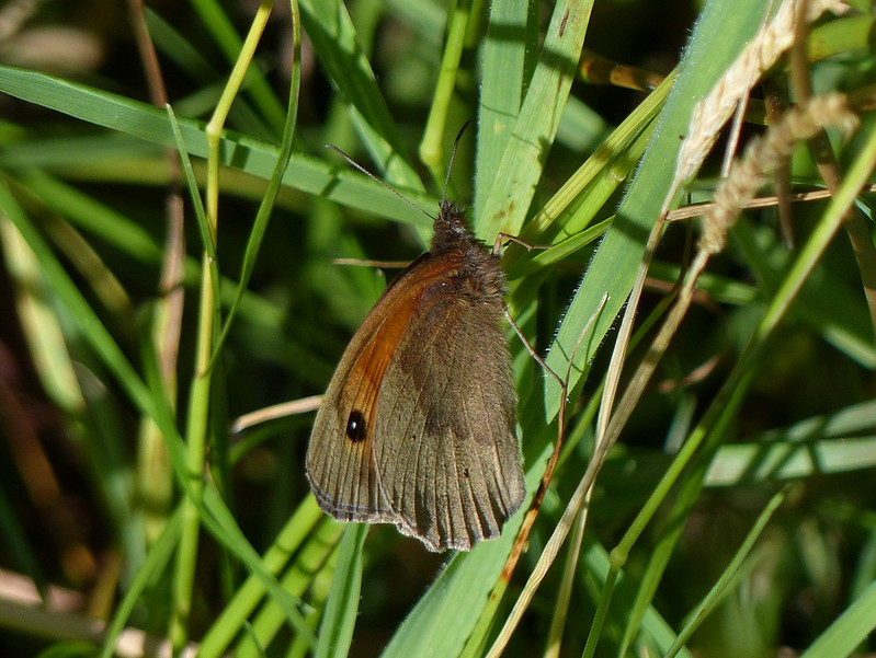
Meadow Brown.

P1140151

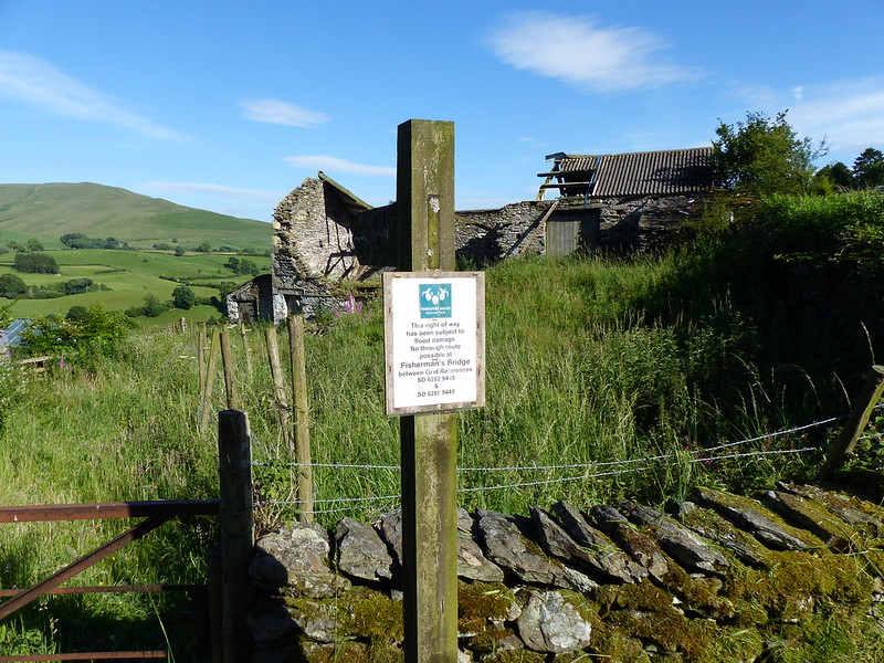
When I reached a road, the path went straight across, but there was a sign warning me that the footbridge over the Lune I hoped to cross, Fisherman’s Bridge, had been damaged during flooding and was unusable. Sometimes, these signs get left in situ even after the damage has been repaired, so I decided to take a look myself.

P1140153

Perhaps the completely overgrown state of the first section of the path should have acted as an additional warning. The bridge was more than just damaged, with even the substantial piers have been shorn off – the top of one was lying close by in the river still.

P1140154

Back up the hill then to brave the nettles and return to the road. Actually, I contemplated following the former railway line which also runs along the valley – I chose not to in the end, but there’s a brilliant potential cycleway there waiting for development. Anyway, after consulting the map, I decided to head south along the road.

P1140158

Stocks.

It’s a B-road, but wasn’t busy, and didn’t make for bad walking at all.

P1140160

Another Red Admiral.

P1140162

The Old School House and Firbank Church Hall – date stone shows 1860 – possibly also once part of the school?

P1140163

Yet another Red Admiral.

P1140165

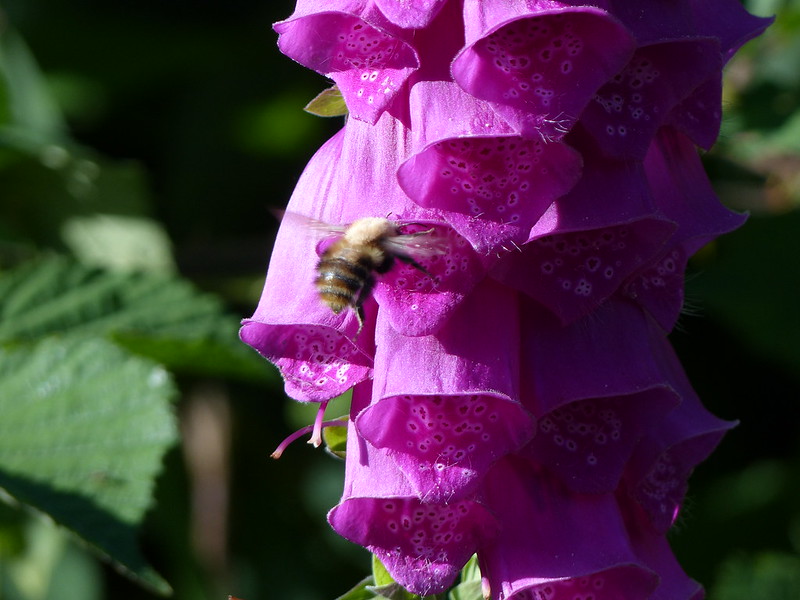
A Carder Bee (?) on Foxgloves.

One advantage of walking on a road is the accompanying hedges – often better maintained than ‘internal’ hedges and full of a massive diversity of life. Having been reading ‘A Natural History of the Hedgerow’ I was more alert than usual to that diversity, and took great delight in noticing just how many species were present. Not that I did it properly; in 2015, I’ve learned, Dr Rob Wolton published an article about a two year study he had carried out of a 90m length of hedge near his home in Devon. He had discovered a staggering 2070 different species in the hedge, and that was with some species still to be identified and having ignored rusts and mildews. Apparently he thinks the actual total might be closer to 3000.

I didn’t spot quite that many on this walk!

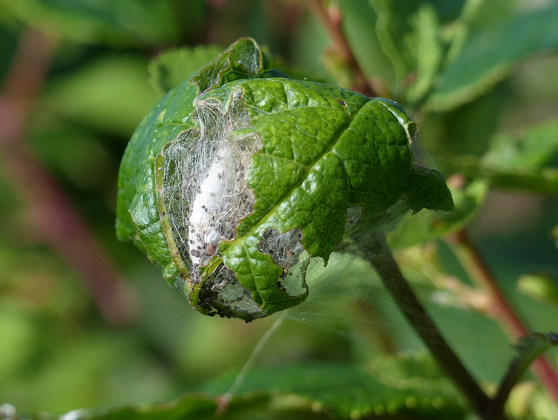
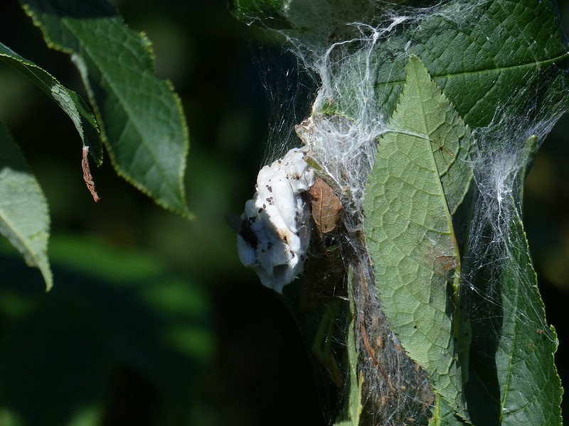
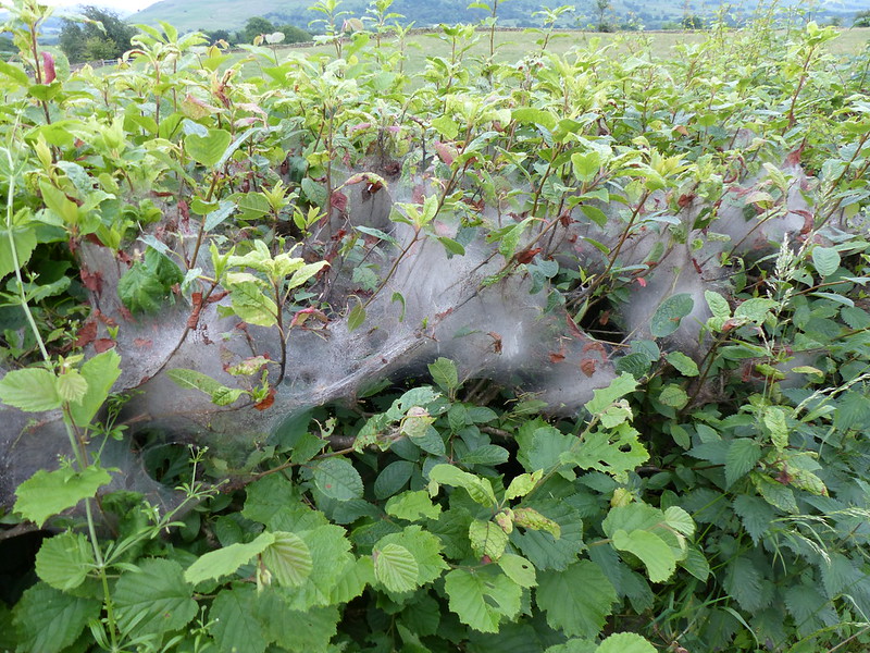
The hedges here were full of webs or nests…I’m not sure what to call them. Some were large blanket webs like others I’ve seen this year, but in other cases smaller webs seemed to have been used to knit leaves together to make some sort of home…

P1140157

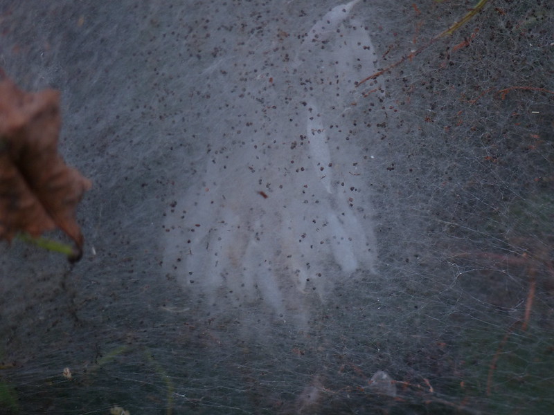
In many of the webs, I could see clumps of pale shapes which I took to be pupae…

P1140170

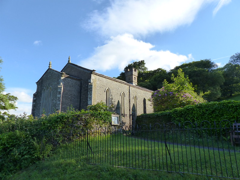
Another advantage of walking on the road was that it brought me to…

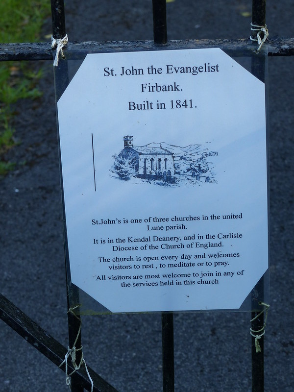
P1140181

P1140173

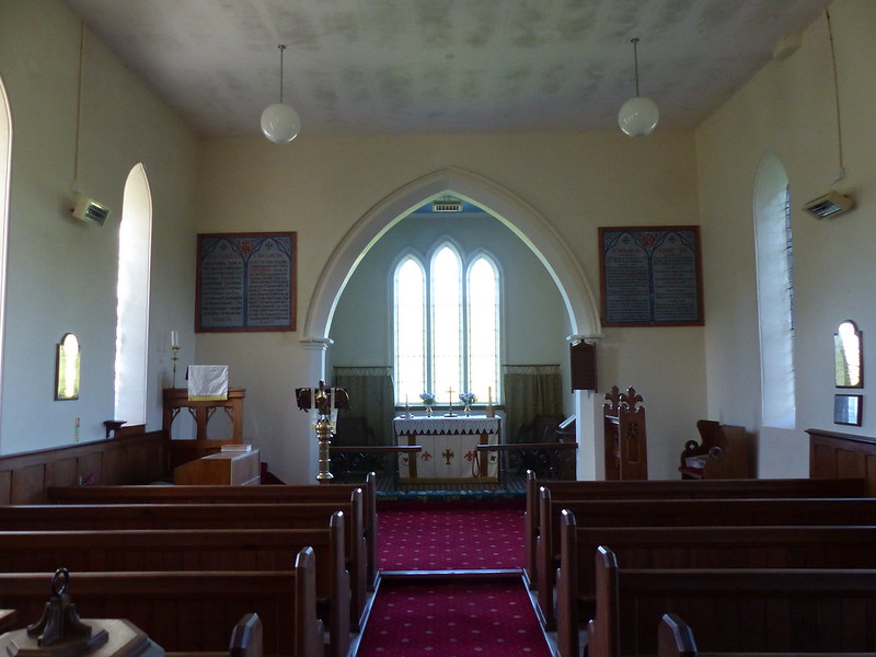
Naturally, I felt compelled to take a peek inside…

P1140175

This church, built in 1841, replaced the chapel on the hill, which was destroyed in a storm a few years before. There is no stained glass, but the view from this window more than compensates, although I don’t think my photo quite captures it…

P1140176

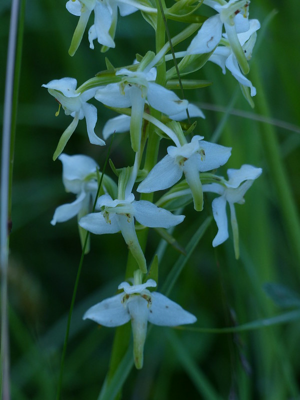
Stepping outside I found, in an unmown area close to the entrance to the grounds, this…

P1140179

…which I believe is a Butterfly Orchid, a first for me. I’m not sure however, whether it’s a Lesser Butterfly Orchid or a Greater Butterfly Orchid. Sadly, it was in deep shade, which is presumably why the photo hasn’t come out too well.

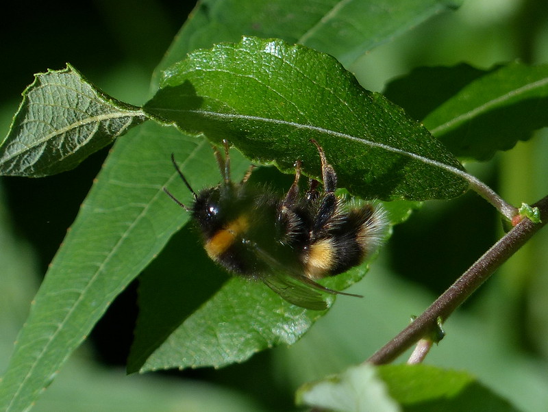
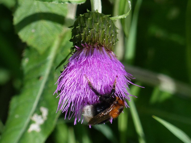
This very large bumble bee was behaving rather oddly, for a bee, sedately exploring this leaf in the hedge.

P1140182

The size, and the behaviour, made me wonder whether this could be a queen, but looking at the photo again, I now think that this is a worker, a Buff-tailed Bumblebee. The tail looks white, but there is a subtle line of buff at the edge of that white which suggests that identification.

P1140184

Lune Viaduct.

I left the road here, taking a path through more newly mown fields which bordered the Lune. A screen of trees prevented any more than glimpses of the river, but in the unmown fringes of the field there was the compensation of a number of Common Knapweed flowers…

P1140187

They seemed to flourish here in this part of the Lune Valley and I would see many more during the remainder of the walk. The bees liked them too. This might be a Garden Bumblebee. Might.

P1140197

But this is a Tree Bumblebee, which, I’ve realised this year, are ubiquitous.

If I hadn’t paused to admire the Knapweed and its attendant bees, I would never have noticed…

P1140191

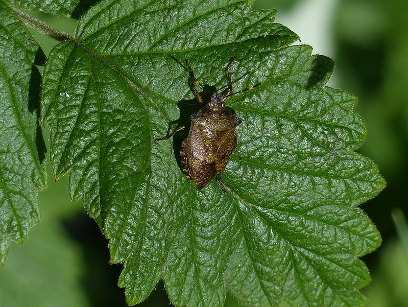
…this shield bug. It took me a while to track down the exact species, so that I was tempted to just call it ‘bronze’ because of its colour. And that’s exactly what it is, a Bronze Shieldbug, widespread but not particularly common apparently. Quite similar to the Forest Bug, which I photographed on Hutton Roof some years ago.

The track transferred to the riverbank side of the trees, which meant that I could see these…

P1140204

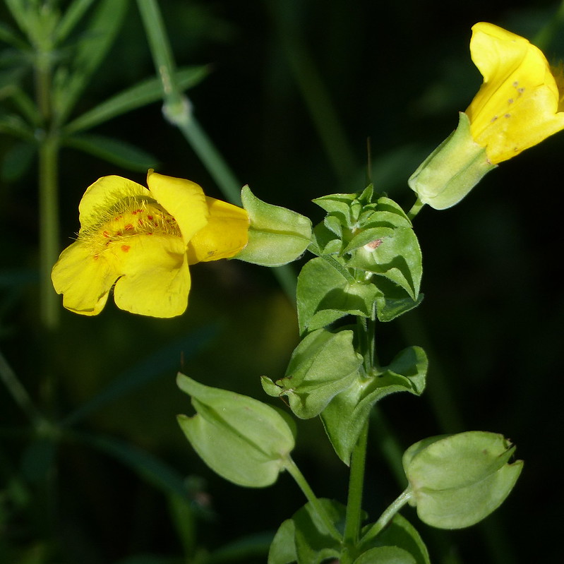
…Monkeyflowers.

P1140209

Lincoln’s Inn Bridge.

I joined the Dales Way here briefly, between Lincoln’s Inn Bridge and Luneside Farm.

P1140211

Luneside.

P1140214

Garden Bumblebee on Common Knapweed (I think).

I detoured a little here, an out-and-back past Prospect House (where the dogs in the garden watched me with suspicion) to…

P1140217

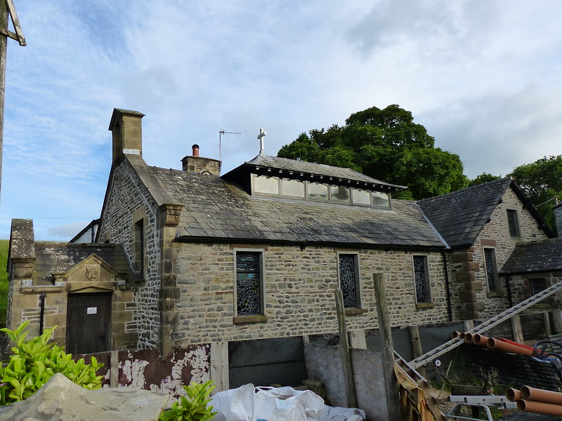
St. Gregory’s or the Vale of Lune Chapel. The third steeplehouse on our walk, steeplehouse being George Fox’s preferred term for a church – although none of these have had steeples. Actually, only the Firbank Church is still in use; the first obviously was ruined, although the local Quaker Meeting House at Briggflats still commemorates Fox’s sermon with a June outdoor meeting; and this last, although still consecrated is in the care of The Churches Conservation Trust.

P1140218

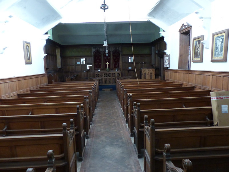
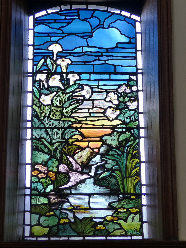
“This chapel was built in the early 1860s by the Upton family, when the London and North Western Railway was building its Ingleton branch and sent a Scripture Reader to the navvies. Attached to a cottage, it is a plain building perhaps designed by a railway engineer; but inside a delightful and colourful series of stained glass windows by Frederick George Smith depict river scenes, trees and plants, as well as birds and animals found locally. These were installed in about 1900 when the church was refurnished.” Source

The Upton family owned Ingmire Hall which is very close by.


P1140220

The furniture in the church was apparently by Waring and Gillow of Lancaster. (The Gillow family owned Leighton Hall which is close to home).

P1140222

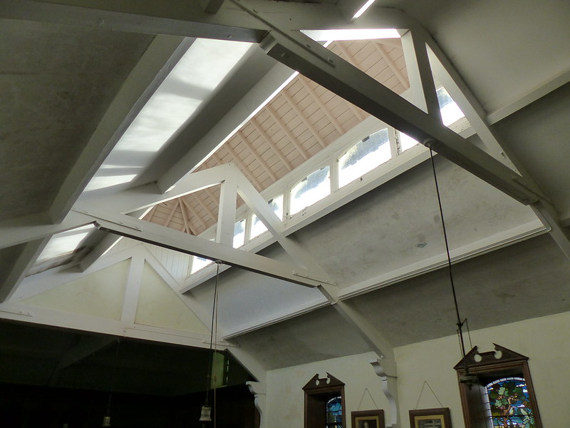
Unusual roof-lights.

P1140225

One of the windows designed by Frederick George Smith. I took photos of them all, and can’t decide whether or not to make a fuller post with more pictures of St. Gregory’s; I rather liked it.

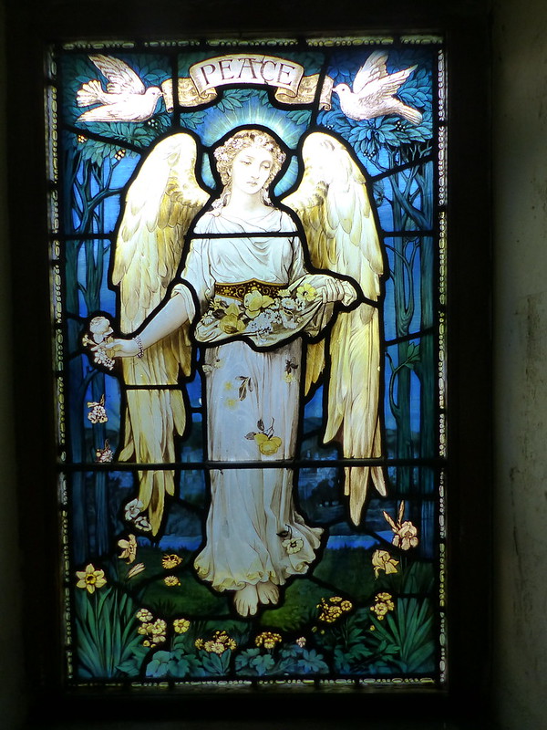
In edition to the windows mentioned above, there are also windows featuring personifications of Peace…

P1140219

…Justice and Fortitude which one source says are of William Morris design.

It doesn’t take long to look around St. Gregory’s, but it’s well worth a visit. I sat in the porch for a moment or two, to have a drink and decide which way to go next.

Back to Luneside, I decided, where the sheep dogs, all, fortunately, caged securely, went berserk again, although, judging by the wagging tails, they may have been enthusiastic rather than angry.

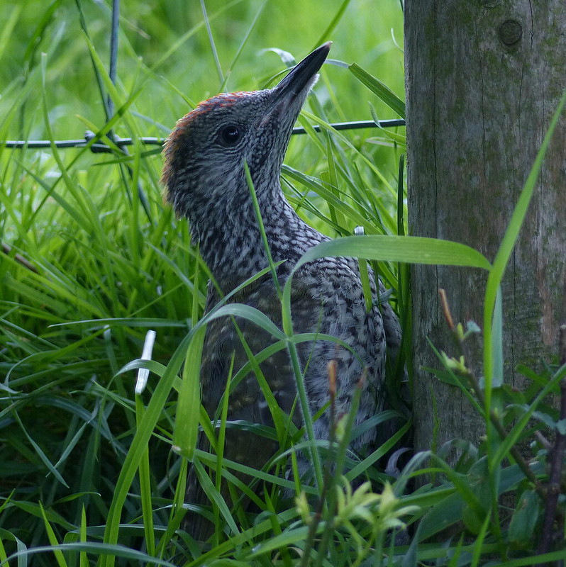
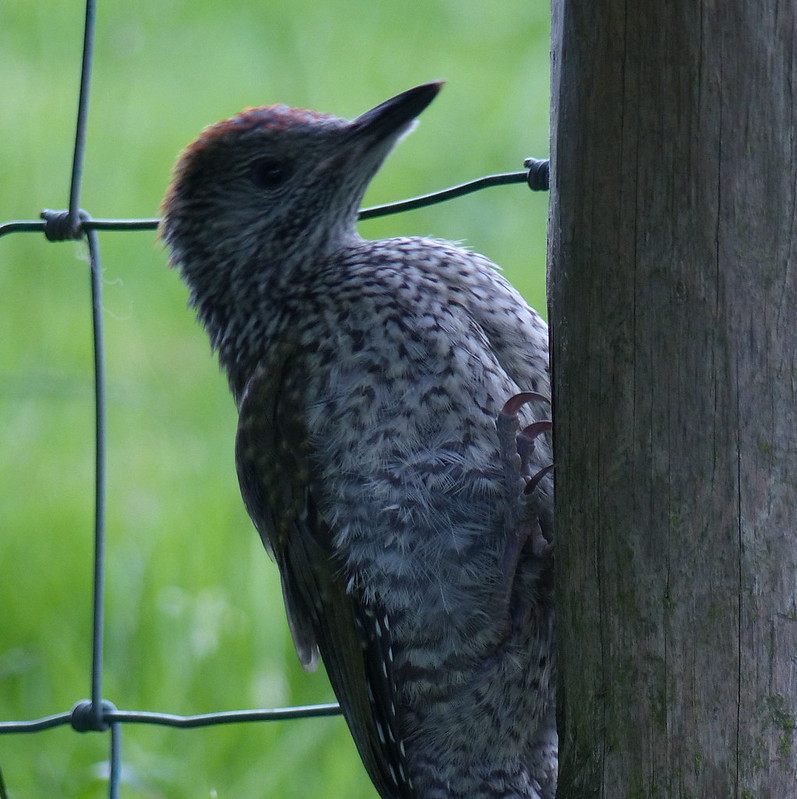
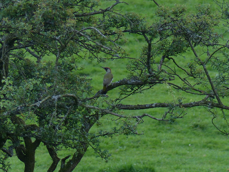
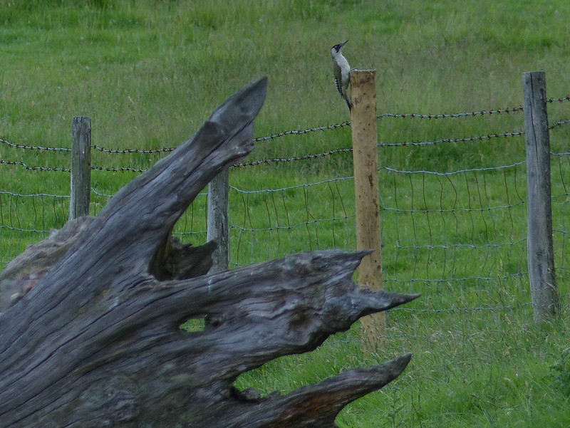
In the fields south of Luneside I heard a commotion from a Hawthorn. It wasn’t the familiar yaffle, but sounded none-the-less like a Green Woodpecker. Then came an answering call from the hedge ahead of me. As I approached the hedge, a bird within the hedge, tried to fly out, away from me, but flew straight into the wire net fence beside the hedge. It was a juvenile Green Woodpecker…

P1140238

P1140240

After a moment of contemplation it decided to climb the fencepost, somehow jamming itself between the wire and the post so that I couldn’t really see it.

P1140241

Those claws are well-adapted for climbing!

The adult meanwhile was even more strident now…

P1140242

As I walked away from the hedge, the adult flew ahead of me…

P1140244

…before looping back to the youngster in the hedge.

Beside the Lune here, there’s a odd little Nature Reserve, a thin little strip along the riverbank.

P1140246

Leading to Killington New Bridge.

P1140249

From here I took the lazy decision to follow the road in the most direct route back to the car. It was getting late and the weather had deteriorated, with a layer of cloud spreading in from the west and a few spots of rain in the air

The hedgerows were once again festooned with webs…

P1140260

…containing hanging white cylinders…

P1140259

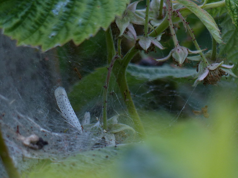
But now, perhaps because it was quite late and a bit gloomy, there were moths evident too…

P1140254

I think that this is an ermel moth, specifically Yponomeuta Cagnagella. Apparently, the ‘gregarious larvae clothe with extensive silken tents’ the Spindle shrubs on which they live. And looking at the photos, these leaves could well be Spindle.

P1140255

P1140261

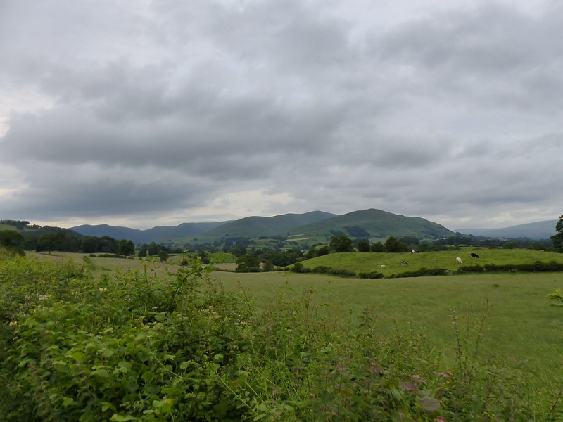
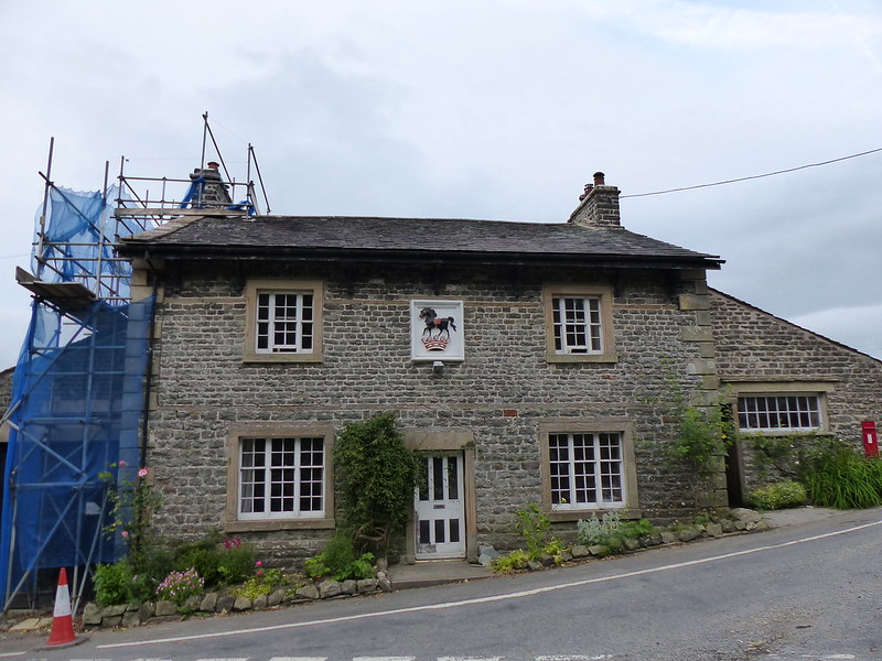
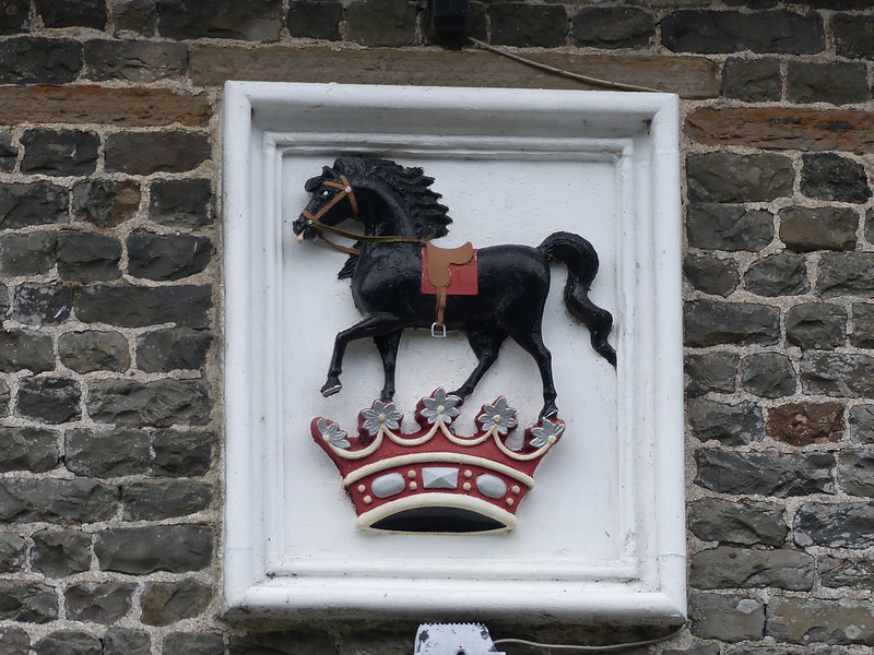
Former Country Pub the Black Horse after which the road junction is named.

P1140262

A stream, another tributary of the Lune, runs beside the A road here.

P1140266

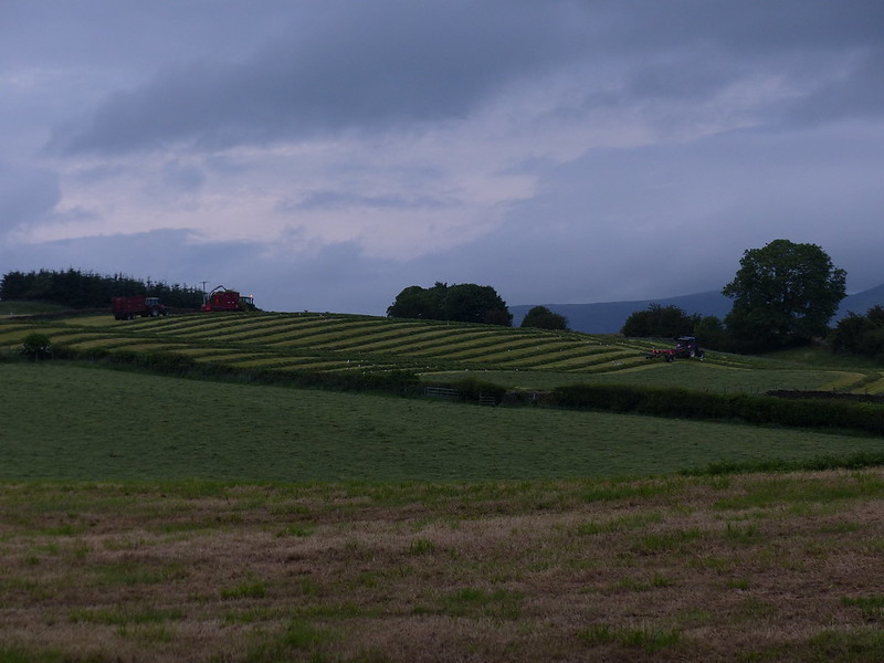
At New Field farm everyone was busy, trying to get the silage in before the forecast rain arrived…

P1140265

P1140268

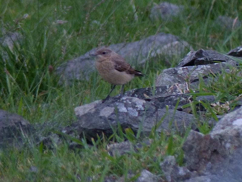
Juvenile Wheatear, I think.

Fox's Pulpit

Firbank Fell – Three Steeplehouses Walk

A Walk Along the Tracks

Smardale Hall

Smardale Hall.

With an opportunity to get out for a day’s  walking and a very promising forecast too boot, I decided to make a virtue of a necessity and tackle an easy, level route which I’ve been wanting to try for a while. Actually, when planning my jaunt, I’d first turned to the internet for inspiration – looking for walks along, or at least mostly along, disused railway lines. I came across the website of the Northern Viaduct Trust, which has details of two railway walks in the Kirkby Stephen area. One of those, over Podgill viaduct, I walked a few years ago when we were staying in Kirkby Stephen Youth Hostel for one of our annual pre-Christmas get-togethers. The other was one which I hadn’t walked before, but which I’ve been aware of for awhile. Where did I first read about it? I’m not sure – I’ve certainly looked it up on the Cumbria Wildlife Trust website before, and Mike Knipe posted about the same route early last year. It’s also mentioned by Patrick Barkham in his ‘The Butterfly Isles’ – he made a mad dash there from London to find Scotch Argus butterflies at the southern extreme of their range. He saw Dark Green Fritillaries and Small Skippers too.

So it was that just after eight thirty on a perfect sunny morning I pulled into a small car-park in the tiny hamlet of Smardale. I wondered whether Smardale Hall, with it’s smart symmetrical towers might be faux and Victorian, but apparently it’s 15th and 16th Century in construction, with evidence of older medieval buildings on the site.

A walk along the tracks. 

Just as I’d hoped, the track gave very gentle walking.

The birds in the trees on either side were enjoying the sunshine and singing enthusiastically. Mainly cheerful sounding chaffinches, but sadly they were a moody bunch, with a habit of turning away just as you lined-up a shot…

Churlish chaffinch 

Robin’s, on the other-hand, can usually be relied upon to cooperate…

Robin 

I’m most pleased with this one however: at least, if my assumption is correct and this is a wren. Whenever I’ve tried to photograph wrens before, they’ve never sat still long enough for me to get even a huffy, cold-shoulder photo.

Wren? 

It seems that a Forth-bridge-painting style rolling programme of coppicing and scrub clearance is carried out in the nature reserve which runs along the valley here. One newly cleared embankment was sunny with primroses…

As I passed the primroses, three roe deer bounced across the track ahead. In the strong sunlight, their white rump patches were startlingly bright.
Primroses 

Not far beyond the car-park, the old line passes beneath the Smardale Viaduct on the Settle-Carlisle line.

Smardale viaduct 

The next section of the line took me into the shade of Demesne Wood. I’d been intending to stop for some late breakfast, but decided to defer until I was out into the sunshine again.

A chorus of harsh caws and soft-quacking alerted me to the nests of a rookery in the tree-tops overhead. Rooks nest early I believe, and I thought that perhaps there would already be eggs in the nests, but I saw one rook carrying a substantial twig towards the rookery, so maybe I was wrong.

Across the valley I watched two large, dark birds wheeling and flirting. They were a way off, but when one perched prominently on a dry-stone wall, the super-zoom Olympus produced pictures with enough definition to confirm that they were ravens. A little further down I watched a raven which was being mobbed by jackdaws. The raven would alight in the top-most branches of a hawthorn tree, but then, apparently exasperated by their attentions, would half-heartedly swoop at the jackdaws. This taunting and chasing continued for some time. Ravens will take eggs from nests – perhaps the jackdaws were defending theirs?

When I did emerge into sunshine again, it was on the day’s second viaduct: the Smardalegill viaduct. From which there was a lovely view along Scandal Beck (I know – it ought to be Smardale Gill surely?) to Green Bell and Knoutberry on the north-western edge of the Howgills.
Scandal Beck, Green Bell in the distance. 

Just beyond the viaduct I stopped for that breakfast and the first of several brews.

The shadow of the viaduct. 

The shadow of the viaduct.
Smardale Lime Kilns 

A little farther still down the line and there are limestone quarries and these large lime-kilns.

Railwayman's cottage 

My first thought when I saw the railwayman’s cottage was that it would make a great bothy. (A reflection on my recent blog-reading) It’s all boarded up however, but with careful small entrances with perches let into the boards over the upstairs windows. For jackdaws?

Cutting 

Where the line entered this cutting, I noticed that the shaded wall on the left was covered in verdant shaggy mosses, whereas the right-hand wall was much clearer, with the odd neat pin-cushion…

P3181342 

As I got close to Newbiggin-on-Lune I started to meet other walkers. Mike mentioned that Newbiggin has a cafe, but with the sun still shining I decided that I was content with outdoor refreshments. On the outskirts of Newbiggin there are a number of impressive old houses, but none of the others caught my imagination to the same extent as the Tower House…

Tower House

..with it’s castellated gable-ends and it’s, erm, tower…

The Tower House - tower.

I followed a little bridleway now which took me past a small barn…

A charming barn 

…past Friar’s Bottom Farm…

Green Bell again 

Northern Howgills. Green Bell left of centre.

and over Sandy Bank, where I stopped for another brew.

View from a brew-stop. 

Brew with a view.

I didn’t do as well as Patrick Barkham, but I did see a single solitary butterfly here. It was some distance away, but I would guess that it was a small tortoiseshell.

Dropping down into the valley I crossed Smardale bridge and realised that I was fulfilling a promise I made myself over 20 years ago, when I walked the Coast to Coast, to come back to explore this valley.

The eastern side of the valley has old sandstone quarries and the wall here was an engaging mixture of red sandstone and grey limestone. The bright green lichen on some of the stones in the wall added to the colourful pageant. (Although the camera doesn’t seem to have captured the intensity of the green.)

Lichen 

Now that I had begun to inspect the wall a little closer, I noticed that some of the stones…

Fossils? 

…had fossils embedded in them.

P3181383 

More fossils…

More fossils? 

..and a close-up…

P3181387 

Gateway 

Scandal beck 

Scandal Beck and Smardalegill viaduct.

Railwayman's cottage again 

The railwayman’s cottage again.

Smardalegill viaduct 

I stopped for lunch (and another brew of course) with a view of Smardalegill viaduct. Whilst I ate, I watched a raven swooping through the arches of the viaduct. Then it settled in a small tree below the viaduct. I tried, without success, to get a clear photo. When the raven finally flew out of sight, I gave up and began to ready myself to move on – it was then that I noticed that a raven was making repeated low, fast passes across the hillside above me. They are breathtaking fliers.

Raven

From there it was a short stroll back along the tracks…

Back along the tracks 

..towards the car.

Hazel catkins

Hazel Catkins again.

I did incorporate a short diversion down to the banks of the beck, where I watched the antics of a pair of pied-wagtails.

Scandal beck, smardale viaduct. 

Scandal Beck.

Smardale viaduct

Smardale Viaduct again.

P3181485 

Nuthatch

On the last section, amongst the trees, where the chaffinches had played hard to get earlier, there was less bird-song than before. This time it was a nuthatch which led me on a tantalisingly elusive chase from tree to tree.

Cloud

Cloud.

A Walk Along the Tracks