Ward’s Stone, Wolfhole Crag and White Hill.

PXL_20230705_185031171
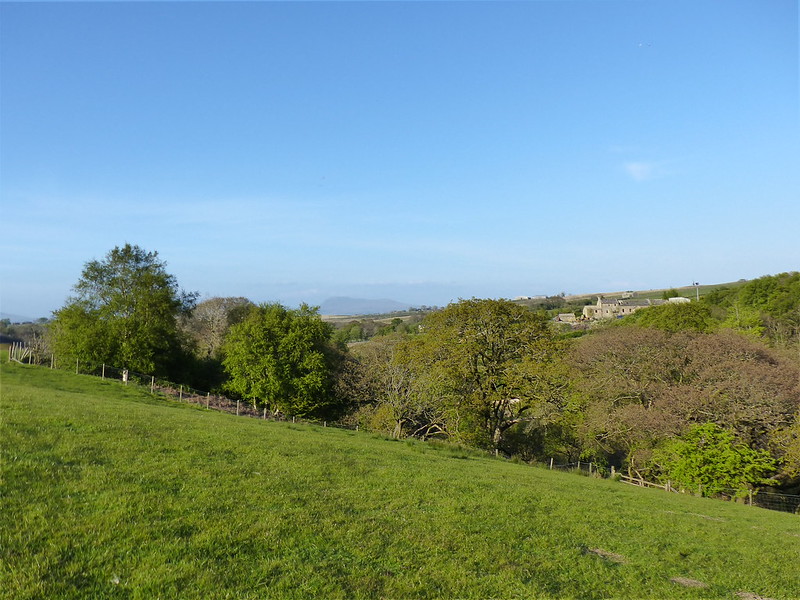
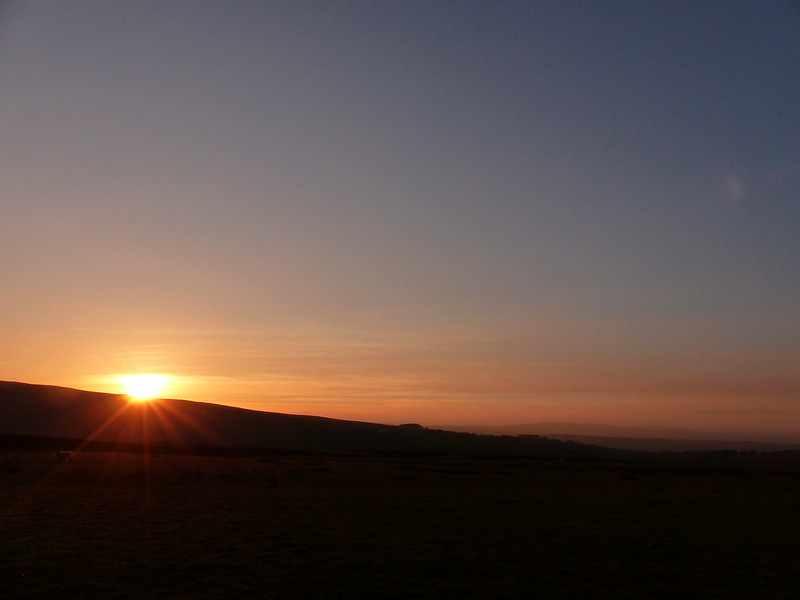
Late sun catches the River Roeburn and Morecambe Bay.

A Wednesday walk in early July; another fabulous Lune Catchment outing. I was able to get out on a Wednesday because it was a strike day. With hindsight, I’m slightly ambivalent about our industrial action: the ‘deal’ we eventually settled for was so poor, putting us even further behind where we were before ‘austerity’, that the personal cost of numerous unpaid strike days seems hardly worth it, but on the other hand, now that it’s over, I’m really missing those occasional days off and the midweek escapes to the hills.

My route could be summarised as a high-level circuit of the headwaters of the River Roeburn. At this remove I can’t remember what inspired me to plan such a long and ambitious route for a day when the forecast wasn’t especially promising.

I drove in on the road from Hornby which crosses a shoulder of Caton Moor, giving great views of the head of the dale, before losing lots of height, sadly. Even so, where I parked, by Barkin Bridge, the map shows a spot height of 144m, which, given that the Bowland hills are of modest heights even by paltry British standards, is a conveniently high start.
PXL_20230705_080956416
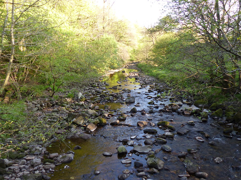
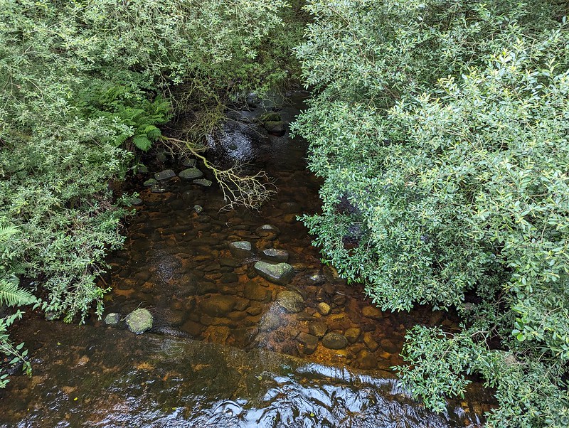
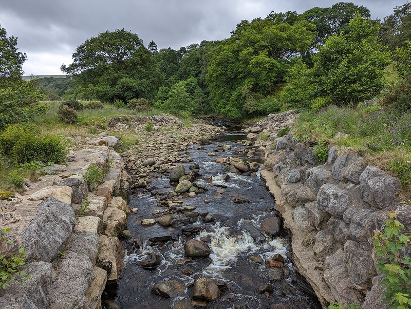
The River Roeburn from Barkin Bridge.
PXL_20230705_081511557
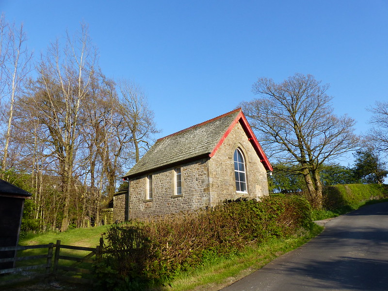
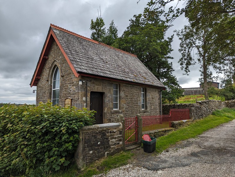
Roeburndale Methodist Chapel at Lower Salter.

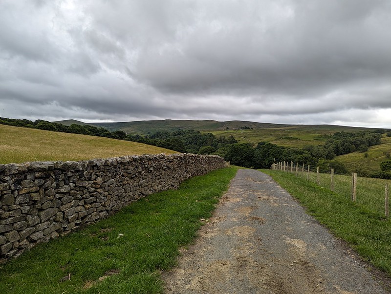
I climbed up the road past Lower Salter, beneath threatening clouds, before dropping back down again to the river on this metalled track…
PXL_20230705_081803168
Mallowdale Pike, High Stephen’s Head, Gallows Hill.
PXL_20230705_082347650
River Roeburn again.

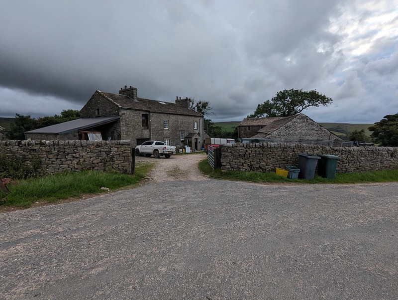
It began to rain and I reluctantly donned my cag, but it soon stopped and I didn’t put it on again until many hours later, right at the end of the walk, as I was returning to my car past the farm and cottages at Middle Salter. At other times, I could see showers passing through, or at least it looked like it was probably raining nearby, but none of them caught me.

PXL_20230705_084058538
Haylot Farm.

A little judicious trespassing here, across a couple of fields and on to Haylot Fell, would have saved me a lot of time and effort. Had I known what was to come, I might have gone for it.
PXL_20230705_084251145
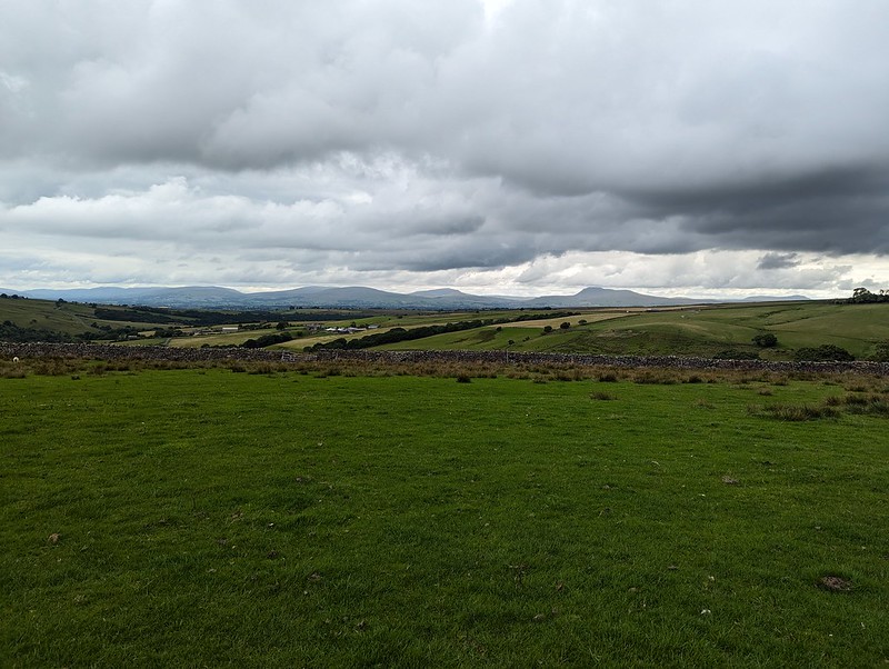
The hills above Kirkby and the Three Peaks.
PXL_20230705_084736275
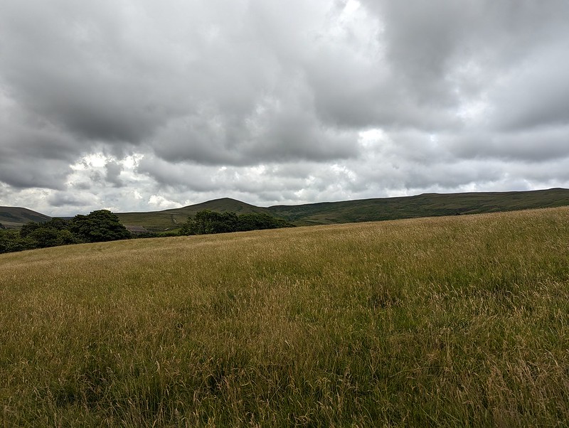
Mallowdale Pike.
PXL_20230705_085051175
Melling Wood.

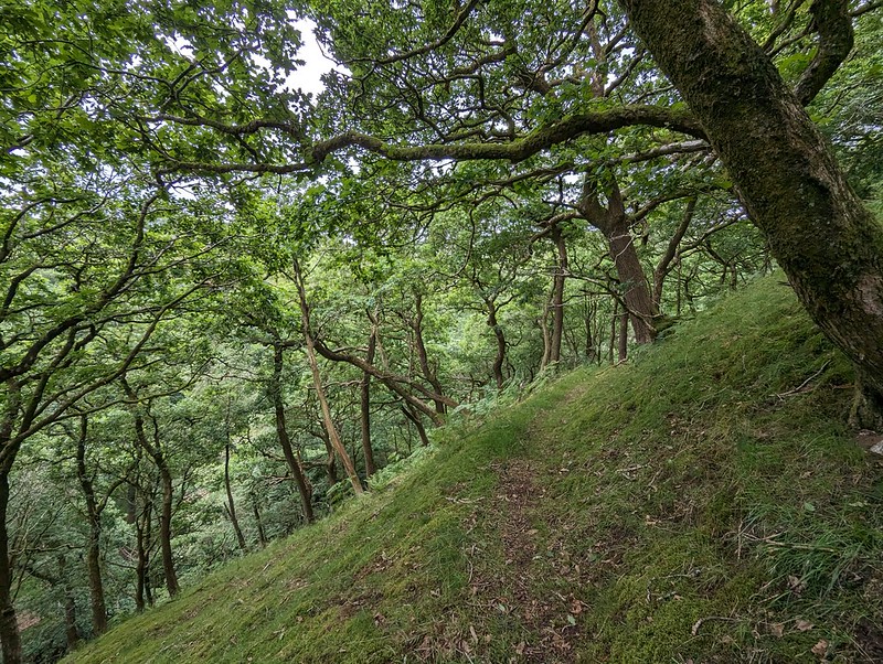
Instead, I followed the right-of-way down into Melling Wood – I know I’ve enthused about this steeply-sloping oak wood on the blog before. It’s a lovely spot.
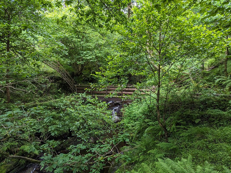
PXL_20230705_085407362
Footbridge across Mallow Gill.

So – I’d realised that if I stepped over the fence by this footbridge I would be on Access Land. Well, almost: strictly speaking I would also need to cross a sidestream of Mallow Gill too, but once on the far bank, I would be on Access Land. Easy.
Or so I thought.

PXL_20230705_085720349
Mallow Gill.

The sidestream I needed to cross is on the right here, although you can’t really see it in the photograph. My problem was that the banks were very steep and I didn’t fancy trying to get down into it, or fancy my chances of successfully getting up the far bank. On the map, the hillside here looks entirely benign, with widely spaced contours – there’s no hint that this will be steep terrain. But it was. And the ground was dry and seemed to be composed of leaf mould, which was loose and unstable and difficult to make progress on. Added to that, there were lots more steep-sided sidestreams which the map also fails to disclose.
I eventually climbed to the top edge of the wood and followed a very boggy path there which looked to have been made by hooved creatures – sheep or deer. I fell into one of the boggiest bits, which rather negated the way the weather considerately directed the showers away from me.

PXL_20230705_092737409
Haylot Fell.

Anyway, I eventually climbed high enough to leave the wood and finally managed to cross the stream on to the Access Land. The stream, Lambclose Syke, was comically small by now, making a mockery of my previous inability to cross it.
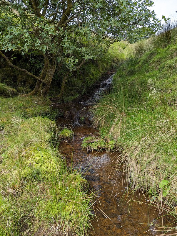
PXL_20230705_092859830
Lambclose Syke.
PXL_20230705_093418112
Hawkshead, Mallowdale Pike, High Stephen’s Head.

Mallowdale Pike is an unusually shapely fell by Bowland standards, at least when seen from below. I’ve been intending to climb it for an age. I had half an idea to include it today, but it didn’t really fit neatly with the rest of my plans, so it’s still on my ‘to-do’ list.

PXL_20230705_093426669
The Three Peaks again.
PXL_20230705_094355641.PANO
Pano – Caton Moor, Three Peaks, Mallowdale Pike.
PXL_20230705_100404431
High Stephen’s Head and Gallows Hill.

Instead I headed up Gallows Hill and then along the rock scattered edge from there to High Stephen’s Head.
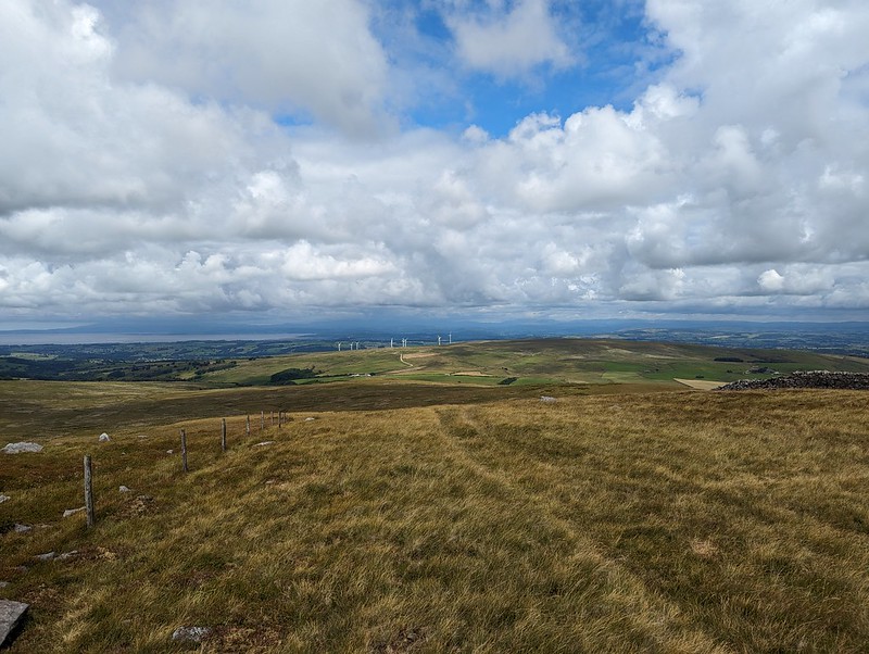
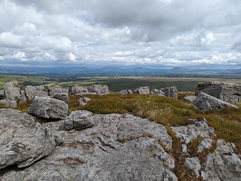
PXL_20230705_102247903
Morecambe Bay and Caton Moor Wind Farm.
PXL_20230705_103114795
The view north again.
PXL_20230705_103616897
A sheltered spot on High Stephen’s Head.

This hollow offered excellent shelter from the chilly wind, whilst still allowing extensive views to the North. Too good an opportunity to overlook, so I broke out my stove for the day’s first lengthy brew stop: Atkinson’s of Lancaster Blue Sky which is black tea but with a bit of Grapefruit flavour, my go to hike brew these days.

PXL_20230705_111802295
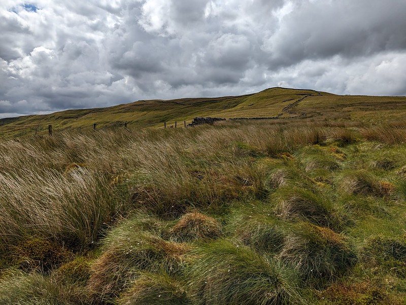
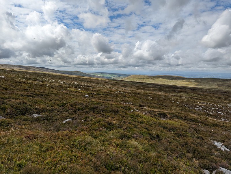
Forest of Bowland terrain.

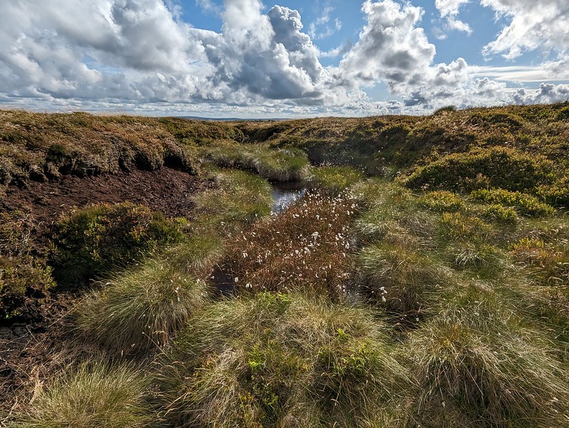
Paths in the Forest of Bowland are usually little used, sketchy or even non-existent. The going was often rough and quite hard work. My hand-me down boots did me proud though, and my feet stayed dry through all of the bogs and peat hags.
PXL_20230705_112450385
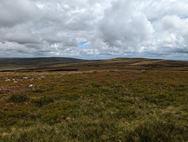
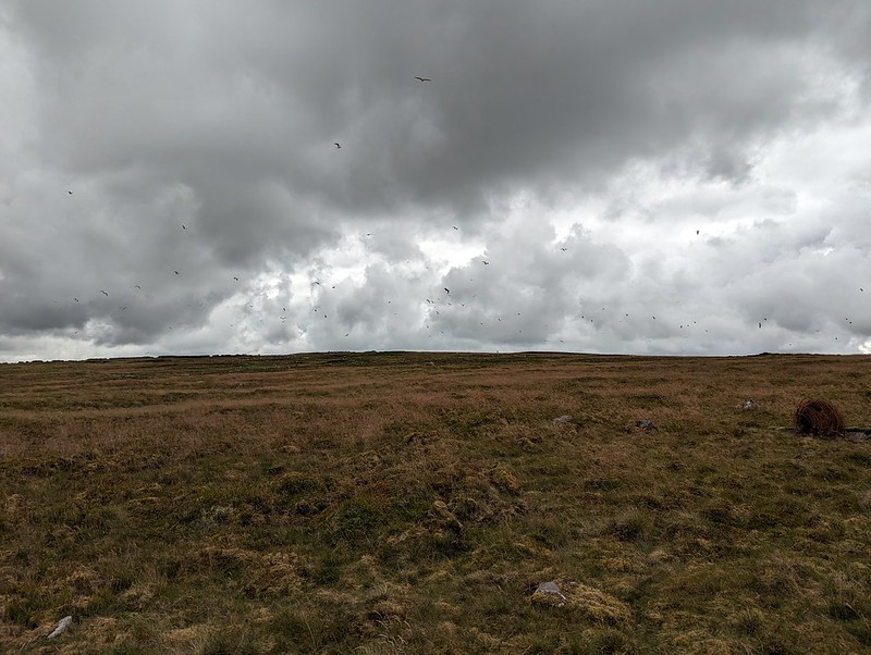
Lesser Black-backed Gulls.

As I approached Ward’s Stone, the air was thronged with Lesser Black-backed Gulls. The cacophony was astonishing. The walk between Ward’s Stone and Wolfhole Crags was accompanied by the constant calling of the gulls, who seemed to be always on the move. Apparently, the breeding colony here was once the largest in the UK, but for many years culling was allowed, ostensibly to protect the water course from pollution, but since the gulls will eat Grouse eggs and chicks the action also protected the shooting industry’s revenue. It seems that after the species was red-listed and the licence to cull elapsed, the persecution continued illegally, for a while at least. I haven’t managed to find any data regarding the recovery or otherwise of the breeding colony. There seemed to be a lot of gulls, but that’s not very scientific evidence. This colony was at one time the largest in the UK, and since the UK has 40% of the World’s population of this species, it was pretty important.

PXL_20230705_114121358
Bog Asphodel.

I know that gulls often vociferously protect their nests and I fully expected to be dive-bombed, which I wasn’t looking forward to, but whilst they made a lot of noise, the gulls left me well alone – maybe I didn’t get close enough to their nesting sites?

PXL_20230705_115006476
Queen’s Chair.

I think this must be the feature, close to the eastern summit of Ward’s Stone, marked as the Queen’s Chair – to be honest, it didn’t look remotely comfortable.

PXL_20230705_115524928
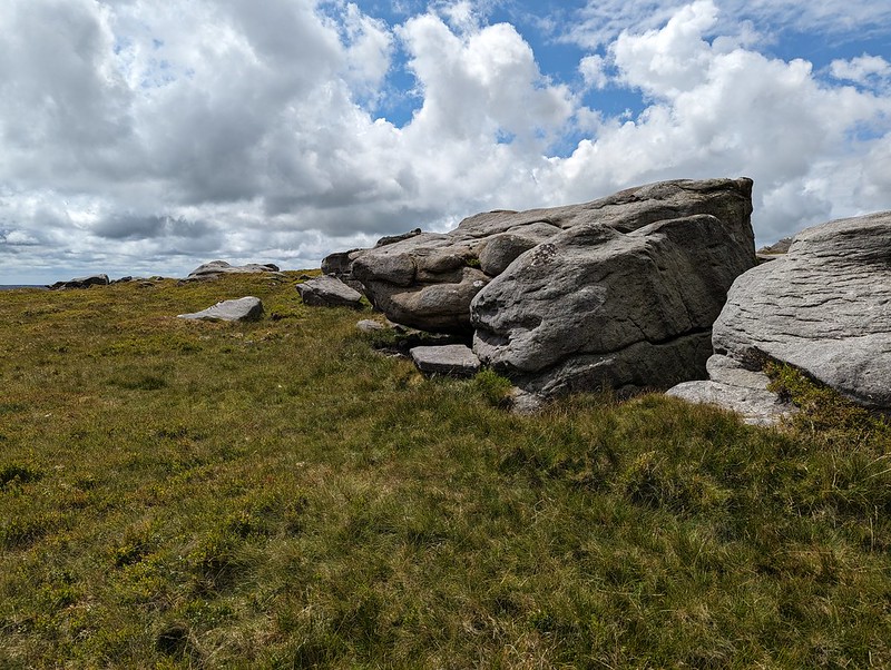
Grey Mare and Foal, Ward’s Stone.

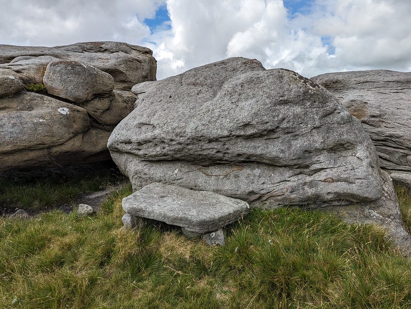
This jumble of large boulders seems to be called Grey Mare and Foal although I couldn’t see why. However, on the leeward side of the rocks, well out of the wind…
PXL_20230705_122227191
Grey Mare and Foal, Ward’s Stone.

There’s was a large flat slab, resting on other rocks, which must surely have been laid like this to make a seat? It was extremely comfortable, with a view of my route ahead, and an ideal spot for brew number two and a spot of lunch.
PXL_20230705_115624330
A perfect seat for lunch.

Here on Ward’s Stone, the highest spot in the Forest of Bowland, I saw some other walkers: two couples. They were the only other walkers I met all day.

PXL_20230705_120839151
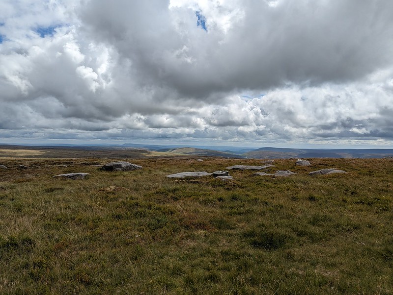
White Hill, Wolfhole Crag and Pendle Hill.
PXL_20230705_120841966
Pendle Hill and Fair Snape Fell.

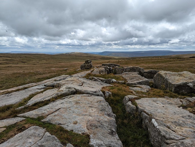
Whilst Pendle Hill stands proud and alone and is very distinctive and easy to recognise, Fair Snape Fell is the highest hill in a jumble of Bowland fells which I’m not sufficiently familiar with to distinguish between.

PXL_20230705_125008796
White Hill, Wolfhole Crag and Pendle Hill.
PXL_20230705_125715617
Pendle Hill and Fair Snape Fell and its neighbours. From Grey Crag?
PXL_20230705_131010838
White Hill and Wolfhole Crag. Slowly getting closer.
P1390313
Lesser Black-backed Gull.
PXL_20230705_134055713
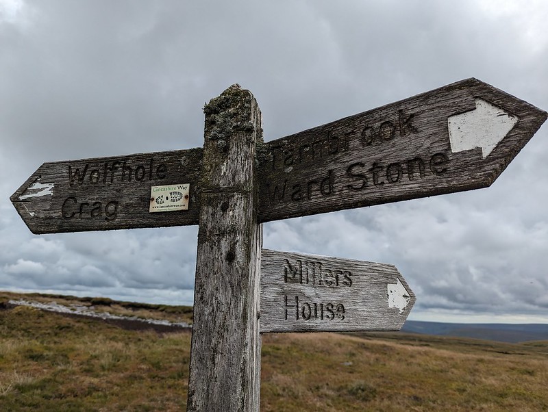
Lichened signpost.
PXL_20230705_134911885
Wolfhole Crag.

I think I’ve been to Wolfhole Crag before, many, many years ago. But if I have, I’d forgotten its jumbled, bouldery edge. I was impressed with what I found. I suppose that when a walk mostly covers quite featureless, bleak moorland, any rocky character really stands out.

PXL_20230705_134943455
Wolfhole Crag.
PXL_20230705_135135130
Wolfhole Crag.
PXL_20230705_135844465
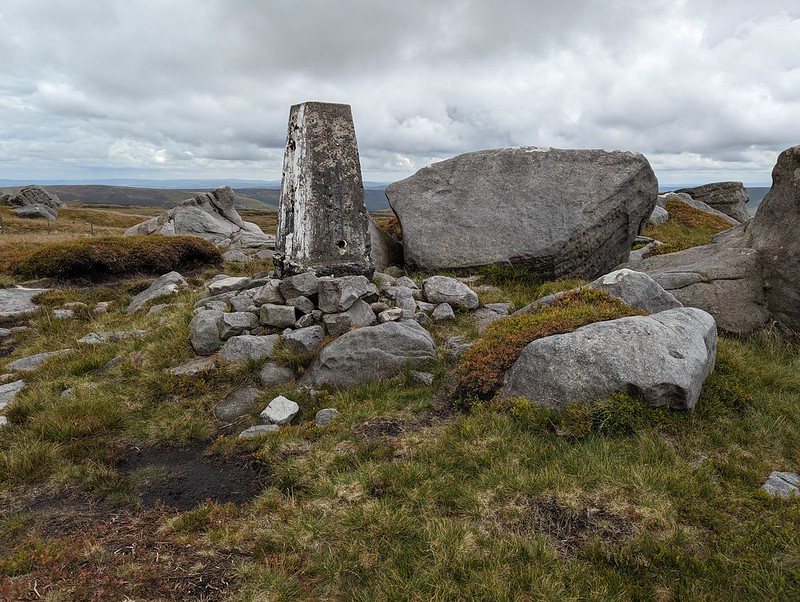
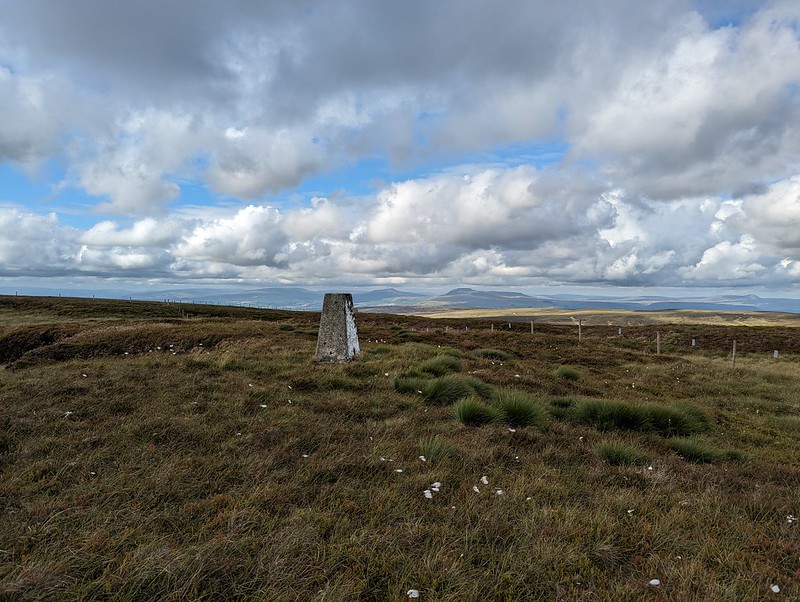
Wolfhole Crag trig pillar.
PXL_20230705_142146878
A grouse eye-level view.

I found another spot out of the wind, behind one of the towering boulders, made yet another brew and may have drifted off for a bit.

PXL_20230705_143319303
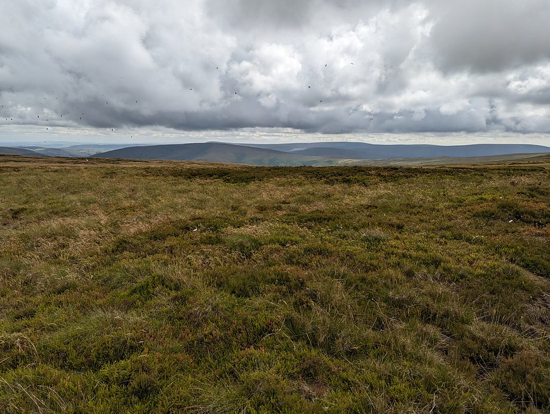
Looking back to Wolfhole Crag.
PXL_20230705_143330066
Fair Snape Fell.
PXL_20230705_145327498
Mallowdale Pike and Hawkshead.

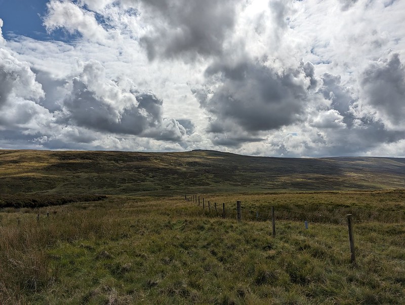
From Wolfhole Crag, I dropped down to the Hornby Road. This would be my return route to my car, but I decided on an out-and-back to White Hill first, even though it was already well into the afternoon.
PXL_20230705_152610695
Wolfhole Crag.
PXL_20230705_152240117
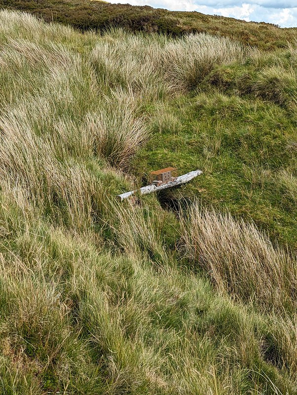
Stoat trap.
PXL_20230705_153920357
White Hill.

I’m assuming that White Hill is not often visited. There wasn’t much of a path and the going was hard work in places. On the other hand, the sun came out, and there were no Lesser Black-backed Gulls which meant a bit of relief from their raucous and relentless cawing. What’s more, it also meant there were other, different, birds to see. In fact, I was quite surprised to find how much time I spent taking photos of birds.

P1390346
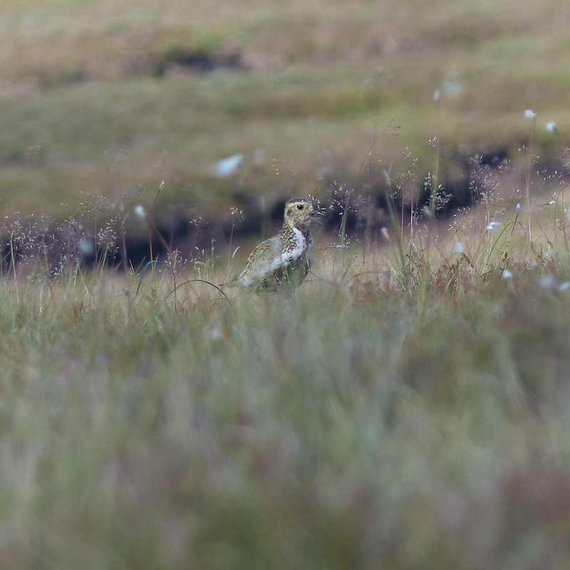
Golden Plover.

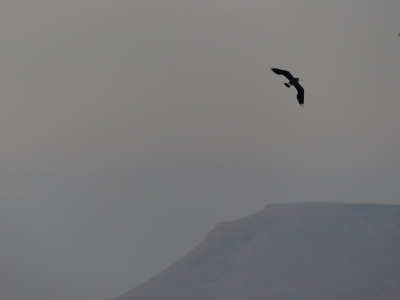
Mostly, my photos are really rubbish shots of Golden Plover. I didn’t see many, perhaps three, but those birds seemed happy to play a game with me, bobbing up and down in the grass and heather, or suddenly appearing in full sight, but with the light behind them so that all I could capture was a silhouette.
P1390353
Golden Plover.

My game of hide-and-seek with this bird must have looked particularly comical: we were on opposite sides of a peat hag and both anxious not to be seen, so were both bobbing in and out of sight. I have lots of photos, but in most of them my camera has done a fabulous job of focusing on the vegetation between me and the plover.
I haven’t often seen Golden Plovers before though, so was very happy to have an opportunity to get even dodgy shots.
I also took a few blurred photos of Curlews in flight. And two distant, not especially sharp photos of what I’ve almost convinced myself might be a Merlin – Britain’s smallest bird of prey which lives on small moorland birds like pippits. I thought I saw one once before, flying around the craggy edge on Clougha Pike, not so far from here.
PXL_20230705_163643470
White Hill Trig Pillar.
PXL_20230705_164111738
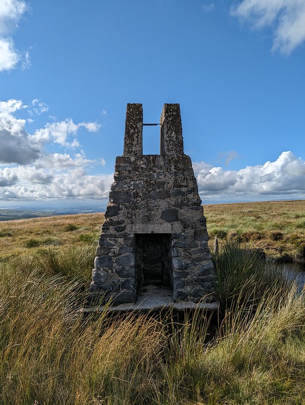
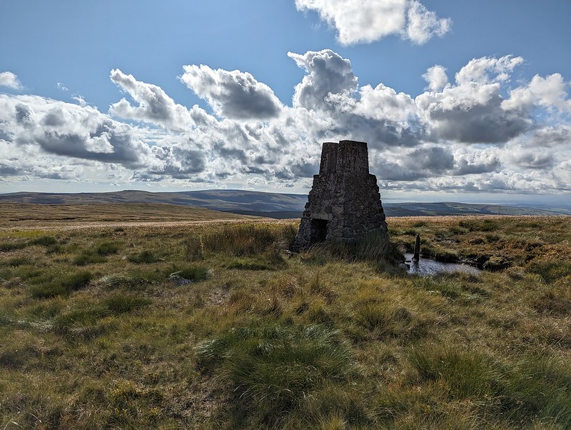
White Hill sighting tower. Wolfhole Crag and Ward’s Stone beyond.
PXL_20230705_164143949
Sighting tower. Used to plan the Haweswater Aqueduct.

There are three of these fairly tall structures on White Hill. There are similar pillars on Selside Pike near Haweswater in the Lake District, and on Tarn Crag above Longsleddale. They were used during the construction of the Haweswater Aqueduct which carries water from Haweswater reservoir in the Eastern Lakes to Manchester.
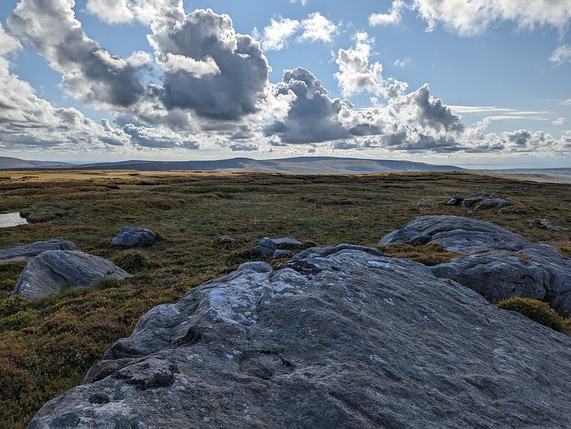
PXL_20230705_165114985
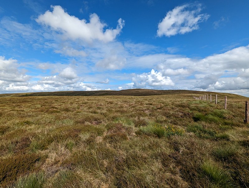
Forest of Bowland terrain 2.
PXL_20230705_170636410
Wolfhole Crag and Ward’s Stone from Botton Crag.

My descent route was very close to the way I had come up, but the rocky slabs of Botton Crag gave slightly easier walking than the heathery amd tussocky terrain elsewhere on the moor.
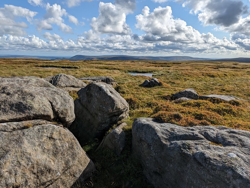
PXL_20230705_170742141
Looking toward Fair Snape Fell.
PXL_20230705_182256372
Hornby Road.

On the map, Hornby Road is marked as a Roman Road, although it seems the modern track may not always stick to the Roman route. The track connects Slaidburn to Hornby and Wray in the Lune valley. A quick Google suggests that it is popular with cyclists, which makes a lot of sense.
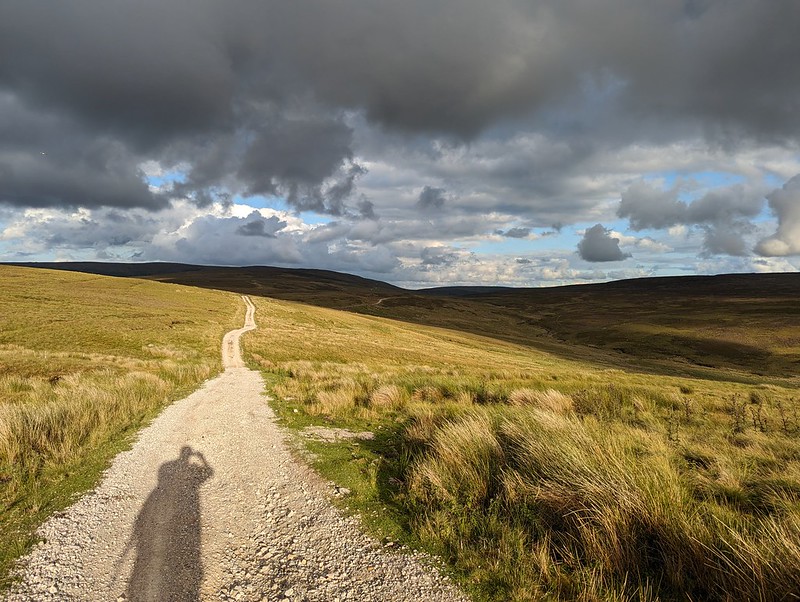
PXL_20230705_183352950
Hornby Road.

Although I still had quite a long way to go, the track at least gave some easy walking to finish my long day. With the clouds gathering, the drama of the skies and the light kept me royally entertained.
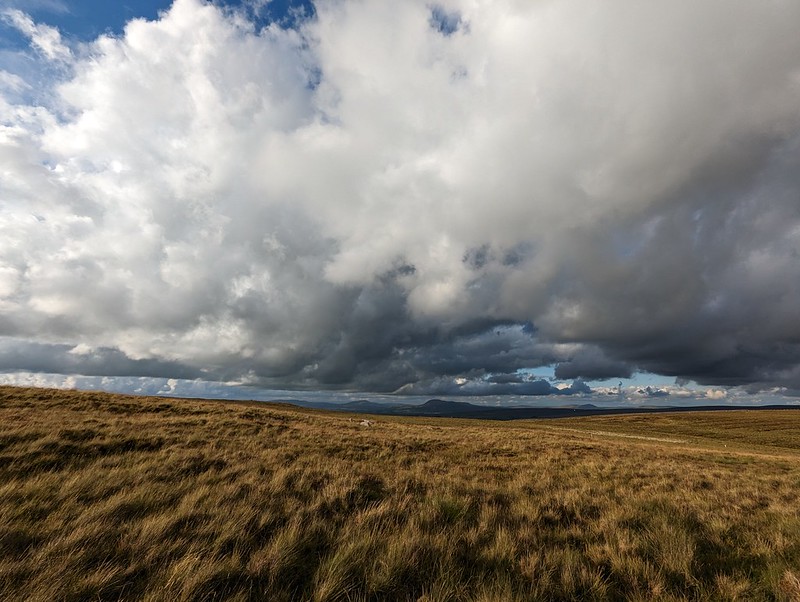
PXL_20230705_183646490
Big skies over the Three Peaks.

Fortunately, my ‘new’ phone seems to have a really flair for clouds – I imagine the in phone processing power of the software designed by the boffins at Google?

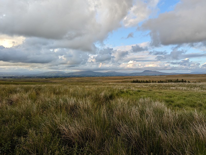
PXL_20230705_185031171
The kind of light which makes a late finish worth while.
PXL_20230705_192404446
One final view towards the Three Peaks.
PXL_20230705_193134626
Threatening clouds amassing over Mallowdale Pike, High Stephen’s Head, Gallows Hill and Haylot Fell.
PXL_20230705_193654489
High Salter.
PXL_20230705_194829037
Haymaking near Middle Salter.

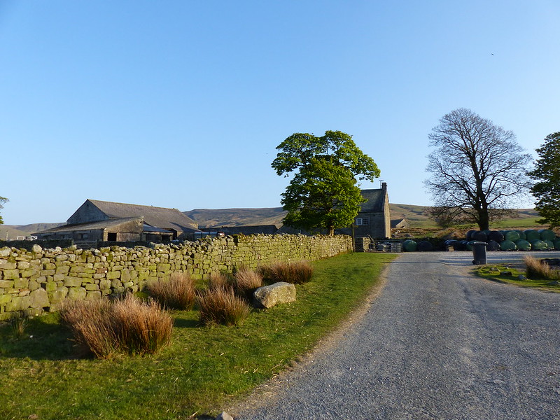
As the evening grew gloomy and I put my cag back on for the last few hundred yards, the local farmers were still busy cutting the grass for silage.

MapMyWalk gives a little under 18 miles and around 660 metres of ascent. More importantly, another day of really enjoyable walking.

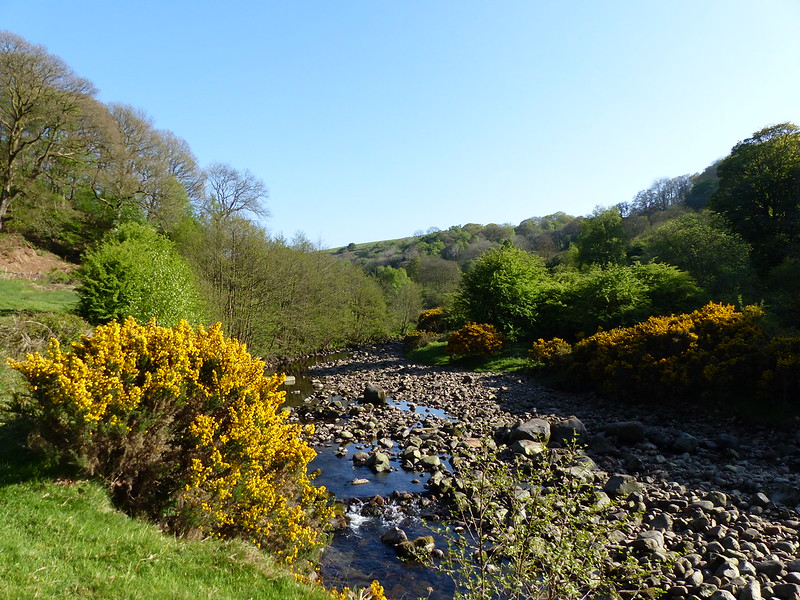
Ward’s Stone, Wolfhole Crag and White Hill.

Roeburndale Round

Wray – Hunt’s Gill Bridge – Outhwaite Wood – River Roeburn – Barkin Bridge – Lower Salter – Haylot Farm – Melling Wood – Mallowdale – Mallowdale Bridge – Higher Salter – Harterbeck – Stauvin – Four Lane Ends – Hunt’s Gill Bridge – Wray

P1110761

River Roeburn in Outhwaite Wood.

May arrives and brings with it the post-work evening walk season. Well, what I think of as ‘the post-work evening walk season’. Of course, I’ve been walking after work in the evenings all winter, in the rain and the dark, and during the spring, as the evenings have lengthened, my walks around home have gradually lengthened with them. But now there’s enough light to justify a short drive and a longer walk somewhere a little away from my home patch.

If the outing featured in the last post was partly inspired by somebody else’s blog post, then this walk was, I think, influenced by one of my own posts. I’ve been at this blogging malarkey for a while now and am rapidly approaching the one thousand post milestone. Most of my posts illicit a trickle of interest and then disappear without trace, but some have a curious afterlife, which I can follow via my blog stats. There seems to be no rhyme or reason to this. For example, one post about a walk in the Wye valley gets a visit or two just about every day and the same holds true for a handful of other posts. The oddest of these afterlives is the curious popularity of this post, which attracts lots of readers from India, where, I can only imagine, a teacher or lecturer sets assignments on the essay ‘On Finding Things’ by E.V.Lucas. In search of something to plagiarise, the students who find my post about a family stroll in the woods must be sorely disappointed. Anyway, a post about a walk around Roeburndale, which TBH and I enjoyed four years ago at around this time of year, is another which has been making regular appearances in my stats of late. Which got me thinking about a return visit.

P1110762

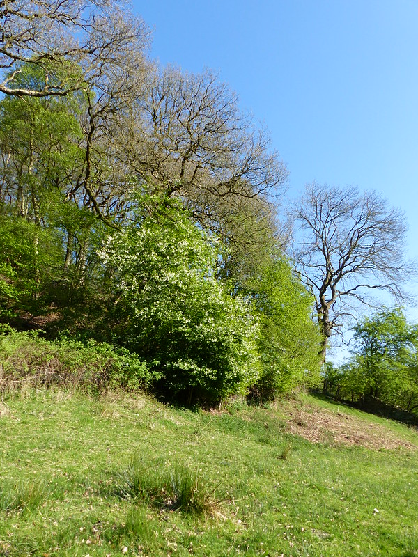
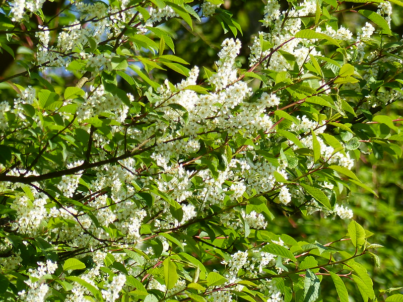
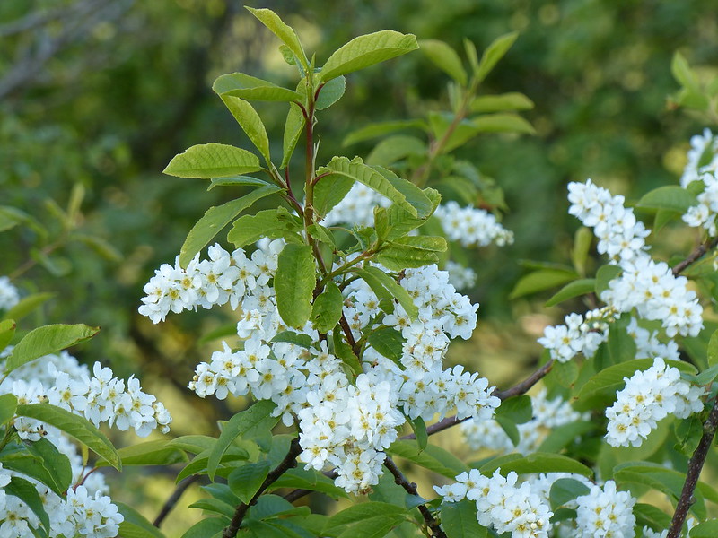
I was intrigued by this small tree, or large shrub, down by the river on the edge of the wood, by a riverside meadow. I’ve pretty much convinced myself that it is an example of our native, Wild Privet. The flowers are plentiful and quite striking.

P1110763

My only nagging doubt is caused by the fact that I remember privet hedges having tiny leaves, but I suppose that they may have consisted of imported cultivars of another privet?

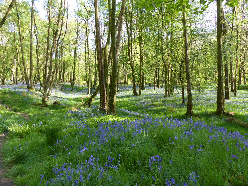
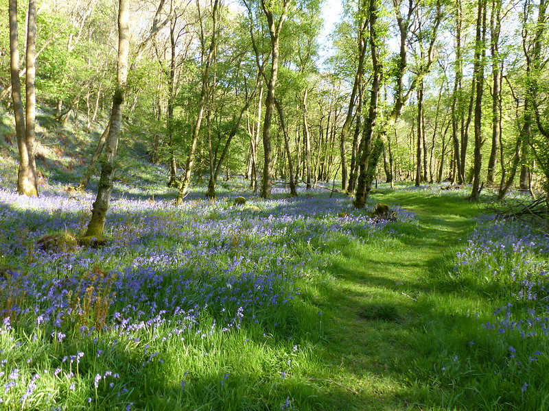
Once again, the Bluebells and Ramsons in Outhwaite Wood were stunning…

P1110767

P1110769

All too soon, the permission path leaves the river and climbs up through the woods to traverse their top edge, close to the field boundary.

P1110772

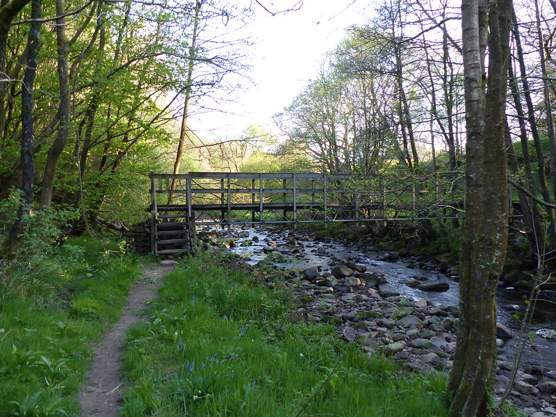
Before eventually dropping down to cross the river by this footbridge…

P1110777

P1110778

This is the stretch of river where I brought the children to swim a few years ago, and we were eaten alive by insects. No such problem on this occasion.

P1110779

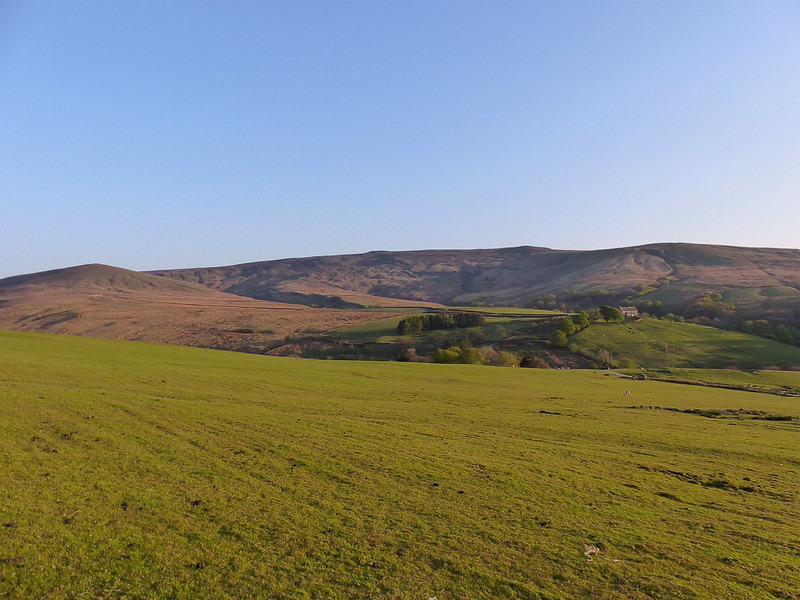
Roeburndale – Ingleborough in the distance.

P1110780

Little Salter Methodist Chapel.

The route which TBH and I had followed turns left here and cuts across the valley before heading down, but I decided to continue onward, adding an extra loop around the head of the valley. (A PDF leaflet of that route can be found here and here, at least at the moment: the link I added to my previous post doesn’t seem to work anymore).

P1110785

Approaching Haylot farm I spotted a couple of Hares, a treat since it’s something I don’t see all that often. Years ago – I can date it fairly precisely to the early 1990s – I watched a pair of Little Owls near this farm. I don’t think I’ve seen any since.

Just past the farm, I walked through a small field where I was mugged by a flock of sheep. I’m familiar with the late evening behaviour of sheep at lambing time, whereby they will group together and follow a walker through a field, making a proper racket in the meantime, but this particular flock were the most aggrieved and aggressive bunch I have ever come across, shepherding me out of their field on no uncertain terms, snapping at my heels as I went. Well almost. It was very unnerving.

P1110787

More Wild Privet in Melling Wood.

The path through Melling Wood was an absolute delight. Firstly, there were no aggressive sheep. Secondly, the path contoured across the precipitous slopes of Mallow Gill. I definitely need to come back this way again. This path is part of the Lancashire Witches Way which I intend to investigate further.

P1110794

Mallowdale Pike and High Stephen’s Head – Ward’s Stone, the highest point in the Bowland Fells is not too far behind.

This was a great walk for birdwatching, but I didn’t do so well with my camera. In open fields there were Curlews and Lapwings on every side, but none of my photographs came out very well…

P1110798

I could hear Cuckoo’s constantly, and thought I saw one in Outhwaite Wood, as well as a Pied Flycatcher, though I couldn’t swear to either. I missed the Hares too, which were gone before I could train my camera on them.

P1110800

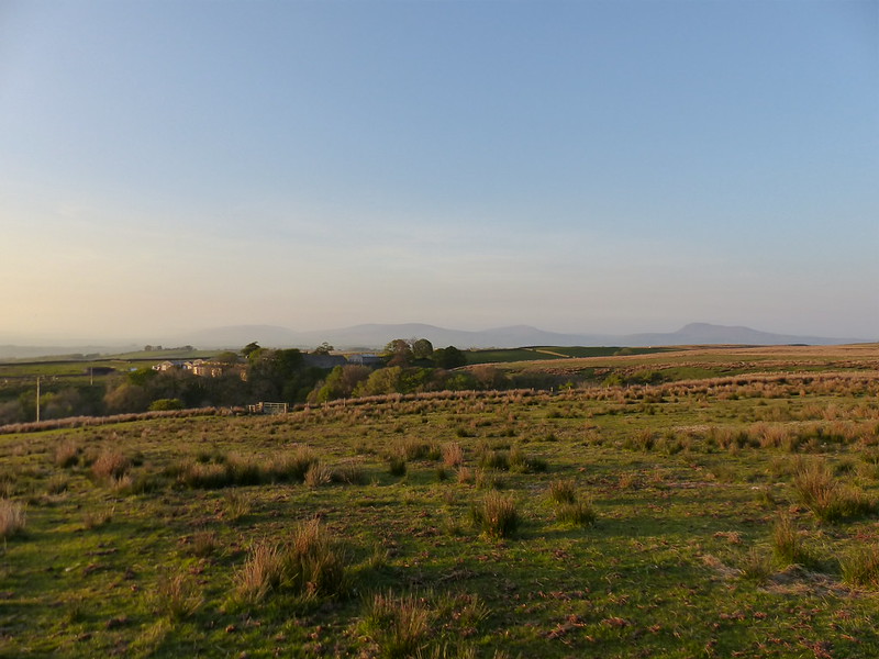
Brownthwaite Pike, Gragareth, Whernside, Ingleborough.

P1110814

Just after reaching the road at Harterbeck, I found a comfortable boulder to sit on to enjoy the sunset and have a bite to eat. The farmer was still out and about tending his sheep and came over for a chat. He was tickled by the possibility that I might be walking home to Silverdale that night (which I wasn’t obviously), and also by the fact that I originate from the ‘flat country’ of Lincolnshire. (I know, it’s not all flat Dad, but I’ve given up trying to argue that one).

I decided to follow the road down back to Wray: easy navigation and no more mad sheep encounters. Even though the temperature dropped rapidly once the sun had gone, I was accompanied, most of the way down, by the flickering wings of bats which were coursing up and down the lane.

A great walk, but quite a long one for an evening after work, I estimate close to 10 miles. I was glad to get back to my car in Wray, but already scheming about my next outing.

Roeburndale Round

Roeburndale – Bluebells, Bogs, Barns, Birds and Blueskies!

Bluebells Outhwaite Wood

After our visit to Roeburndale last year I promised myself a return visit this spring. I chose the bank holiday weekend, thinking that even then this would be a quiet spot – and it was.

No map for this walk – you can find it here, on a helpful leaflet, one of many about Lancashire walks stored on this website. We followed the walk as described, except we walked the big loop anticlockwise.

The leaflet mentions parking by Bridge House Farm tearoom, which now seems to be part of a garden centre. TBH and I (the kids were terrorising their grandparents for the weekend) couldn’t resist a leisurely start with a pot of tea, and a cherry scone for TBH, in the dappled sunlight on the decking by the river. Very civilised. If you find yourself in the area, the lunches looked very appetising too.

Early purple orchid

More by luck than judgement, we’d timed our visit to perfection. Not only was the sun shining, but the bluebells in Outhwaite Wood looked and smelled absolutely stunning. Dotted about amongst them were early purple orchids too,

River Roeburn

The gorse too was throwing off a heady aroma, redolent of coconut. The woods were busy with birdsong.

River Roeburn II

The route takes advantage of a permission path which is way-marked with small green discs, each decorated with a white silhouette of a deer’s head.

Female large red damsfley

This damselfly had me confused, but I’m almost certain that it’s a female large red damselfly, which are apparently quite varied in their markings. This one is green on it’s abdomen rather than the more usual black, but the yellow stripes and red banding are right. The British Dragonfly website was helpful, although…

Can be found in almost any freshwater habitat but rarely on fast-flowing rivers or streams.

…has me a little concerned, since I would say that the Roeburn is best described as fast-flowing.

Path through the Ramsons

In places the carpet of bluebells gave way to the broad leaves and white stars of ramsons; and the sweet smell of the Hyacinthoides non-scripta was over-whelmed by a pungent waft of garlic.

Negotiating a boggy bit

More bluebells in Outhwaite Wood

A path through the bluebells

The path climbs to the top edge of the wood, where we found a sunny spot for a picnic.

The upper edge of the wood

The path then drops down to cross the river on a footbridge.

River Roeburn again

This was where I brought the kids last year. There was a family party here on this occasion too, some paddling in the river, most sunning themselves on the bank. They didn’t seem to be under-attack in the way that we had been almost exactly a year ago.

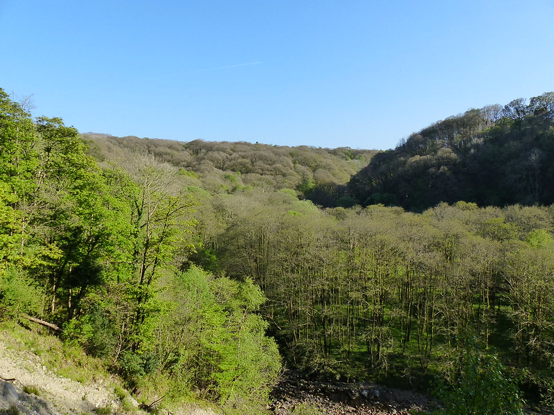
Roeburndale

We left the woods here, and crossed the river…

River Roeburn from Barkin Bridge

…by Barkin Bridge.

A bright flash of white and a strident song from nearby trees alerted me to the presence of….

Pied Flycatcher II

…a male pied flycatcher.

Pied Flycatcher I

I was half hoping to see a redstart, which are also found in these woods apparently, but that will have to wait for another time.

Roeburndale Chapel

By the tiny Roeburndale chapel we turned to head across rough and reedy pastures, past a couple of broken eggshells (whether they were evidence of a family triumph or tragedy I’m not sure)…..

Eggshell

…to a tributary stream named both Pedder Gill and Goodber Beck on my map.

Waterfall - Pedder Gill / Goodber Beck

The return journey, above Roeburndale, was enlivened by the spectacular escapades of stunting lapwings..

Lapwings

Lapwing

…and the burbling calls and swift low flights of curlews.

A number of very substantial barns…

Bowland Barn

…fabulous views….

Above Roeburndale

,,,both near and far….

Lousewort

Wray Wood Moor

What’s that on the horizon?

Ingleborough

Ingleborough!

Another Bowland Barn

Which was fortunate, because parts of it were tediously wet and boggy. Next time I think I’ll try the path on the west side, on the slopes of Caton Moor. Or, I could go up to the access land and climb to the top of Caton Moor…..

Further exploration is called for!

————————————————————————————————————

We’d started late that day and were very late back. I was quite proud of the chowder which I threw together with some smoked mackerel which was languishing in the fridge, some prawns frozen in a lump at the bottom of a freezer draw and various odds and ends of veg. Which is my cheesy way of working in a link to today’s Food Programme (see what I did there?). I’m not generally a fan, but caught it in the car and found it very thought provoking. It featured an interview with Michael Pollan about his latest book ‘Cooked’ which received a rave review in the Guardian this weekend. If you have half an hour to spare I recommend listening to it.

It certainly galvanised me today. When I got home, I picked up the kids from school and then got them to make tea. B barbecued some chicken drumsticks and some lamb chops, A made potato salad and tomato salad and S washed and dressed some ‘cabbage’ (lettuce to you and I) with a dressing he’d made himself, and was also generally helpful. (‘I think I did the most jobs’ as he modestly put it.) Yes I helped them. And, no, A didn’t lop off any fingers when she was chopping spuds and B didn’t burn himself (or the meat). I think they had a real sense of achievement. And they subsequently ate things they would otherwise have just poked suspiciously and moved around their plates.

It wasn’t their first experience of cooking. It certainly isn’t going to be their last.

Nothing to do with walking, I know. But expect more rambling off message. Possibly. Or not

Amended:

Andy and I were talking about TED talks just the other day. Here’s one by Michael Pollan about a plant’s eye view of Darwinism:

Roeburndale – Bluebells, Bogs, Barns, Birds and Blueskies!

Roeburndale

Back in the late eighties, in the final months of my lengthy sojourn in Manchester, I discovered, just down the road from the sweeping coliseums of the Hulme crescent block where I lived, a nondescript shop-front which hid the local offices of the BTCV – the British Trust for Conservation Volunteers. I’d previously spent a week on one of their volunteering holidays, eating and sleeping in Llanberis and working at the back of Cwm Idwal, repairing the fence around an experimental area to shield it from the depredations of sheep. (It cost me the princely sum of £23 – funny the things I can remember, given how useless my memory generally is.) At the time I was searching, without much success, for my first teaching post, and when I learned that if signed up for voluntary work I would not only keep my dole, but be entitled to an extra tenner a week, I didn’t hesitate for a moment.

We worked four days a week and then I think, on each Friday, we went for a walk – although I don’t remember any of those walks very clearly, which is odd. Memory, or my memory at least, is capricious: the things that I do remember are an odd assortment: bouncing around in the back of a minibus full of tools and other volunteers; sitting down with a flask of tea in a field in Cheshire somewhere, watching a blazing bonfire of brashings and admiring with satisfaction the neat lines of a newly laid hedge; the sweaty setting of cobbles on a path in Lyme Park on a bitter February day; the utter frustration of my attempts at dry-stone walling. Each day was different: we tended to be allocated to different projects every day, and I’ve never met such a disparate cross-section of society as I did in those few months.

One job in particular sticks in my mind. Nestled between a North Manchester housing estate and a railway cutting was a small marsh, an SSSI (Site of Special Scientific Interest). Left to it’s own devices the marsh was silting up, alder and willow had begun to colonise and the marsh was slowly becoming scrub. Previous working groups had cleared some of the trees and dug out a small pond. Our task was to build a boardwalk across the marsh to the pond so that local primary schools could use it for pond-dipping trips. My first visit to the marsh was with a working group, but what the project leader really wanted was not a one-off visit from a working party, but a small number of volunteers to help build the boardwalk over a few days. And so, for a change, I spent several days in a single location building that boardwalk. It’s a bittersweet memory: it was a pleasant place to work, with a surprising variety of birdlife, but although kids from the estate had enthusiastically helped us with the work, we had strong reservations about the long term future of the project. On the last day we took several photos of our handiwork: one week later we returned to take more pictures of the charred and vandalised skeletal remains.

Anyway, whilst we sawed and dug and hammered and nailed, I had a lots of lengthy conversations with the young guy who was running the project. He must have been around my own age: though its hard to credit it now, I was a young guy too, once upon a time. I’m afraid I don’t remember his name, but I do remember that he was tall, with dark, curly hair; that he was friendly; passionate about urban conservation projects and angry about the penny-pinching of his superiors which, he felt, had prevented us from building a more vandal-proof structure. He told me that at the end of the week he would be taking a group of student volunteers from what was then Manchester Polytechnic to the Forest of Bowland for a long weekend of conservation work. Did I want to tag along? We would be staying in a camping barn, would I be okay to rough it?

Since the answer to both questions was a definite yes, that was how I made my first visit to the Forest of Bowland, without suspecting that only a few months later I would be moving to live and work just a few miles away in Morecambe. We stayed in a camping barn in Roeburndale, guests of the Middlewood Trust. I remember quite a bit about that weekend: that the sun shone; that we stumbled back across the fields in the dark after a foray to the pub in Wray; that although most of the work was coppicing in the wooded valley, I chose to climb up on to the moor and work on a dry-stone wall, which given my ineptitude seems inexplicable; that the birdsong on the moor more than compensated for my lack of progress with the wall. Above all I remember that the river Roeburn and the steep wooded slopes above it were beautiful.

Now here’s the curious thing: although I’ve lived close to Roeburndale since I moved to this area just after that first visit, I’ve hardly ever been back there. The problem is one of access: there are no rights-of-way along the valley. In fact, just one path drops into the valley, and that immediately climbs out again without following the river at all. However, I’ve discovered that there is now a permission path which does follow the valley. Which, in a very round-about way, finally brings me to the actual subject of this post.

It was the day after our return from Herefordshire. Surprisingly, the sun was shining and we had one more day of freedom before we were back to the grindstone. TBH didn’t even have that luxury; she had paperwork to do which couldn’t be ignored any longer, so it was down to me to entertain the kids. They had been remembering their swim in the Duddon a year ago, and so a trip to a river seemed appropriate. Why not the Roeburn?

 Permission 'path'.

The permission path seems to be little used and is barely evident on the ground, a few waymarkers here and there on fenceposts are just about sufficient to make it reasonably easy to follow.

We took a friend along, and with four small pairs of eyes on the lookout, we were destined to spot a lot of insect life in the meadows, especially since one pair belonged to B who has an unerring knack of finding interesting bugs and such like.

Cockchafer

Cockchafer

Crane fly - Tipula maxima 

A large crane fly, the largest British species, Tipula maxima.

Another crane fly 

A smaller crane fly.

Green Tiger Beetle 

A green tiger beetle.

P6101874 

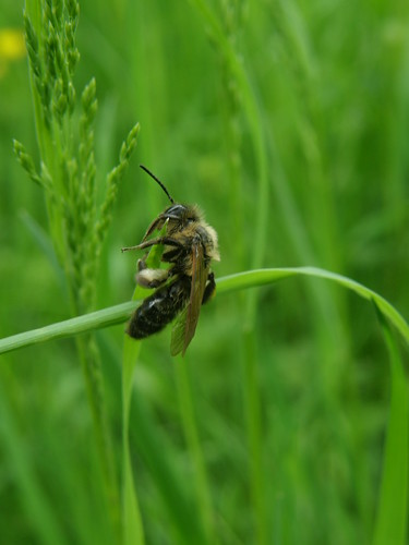
 Another dark bee.

 River Roeburn

The Roeburn and its valley is every bit as beautiful as I remember it.

River roeburn 

We found a spot where the water was reasonably deep. The sun shone down into the amber depths.

River Roeburn 

It should have been idyllic. But it wasn’t. Now the insects were finding us! We were eaten alive. Tiny midges were the culprits, but despite there minuteness we were all soon covered in angry red weals. It’s making me itch ferociously just remembering it.

The kids tried to soldier on and stoically enjoy themselves.

Paddling in the Roeburn 

Three of the crew – note that B isn’t cold, he’s scratching for all he’s worth.

Well, three of them soldiered on: little S just went into meltdown. He hated the midges, the river, the water, the rocks and, most of all I think, he hated me. In his defence, we’d broken down on the motorway the night before on the way home from Herefordshire, after setting off late, and we didn’t get him into his bed until around 2 am, so he was bone tired.

A did a wonderful job of cheering him up as we walked back to the car, improvising stories about bears and honey.

Back across the meadows 

We made one brief stop on our way home, to look at the confluence of the Roeburn and the Hindburn, which I’d read on the internet is a good place for a swim. Nobody there on that day – maybe there were more midges.

Confluence of the Roeburn and the Hindburn

I shall have to return to Roeburndale someday soon, maybe in the autumn, or in the spring when the redstarts are returning. Perhaps to follow this route.

Roeburndale