Uldale Force, Rawthey Gill, Baugh Fell

20210502_102405
Cautley Crag on Great Dummacks, partly obscured by cloud.

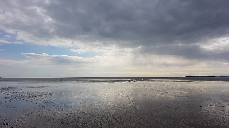
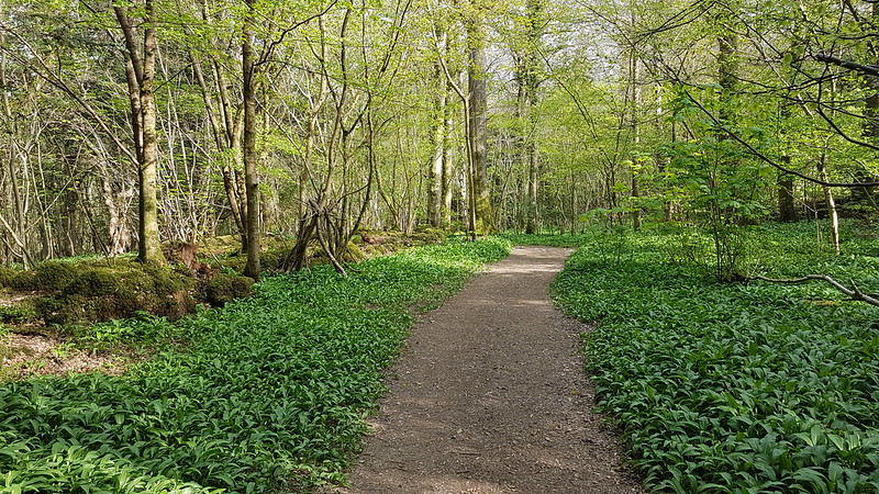
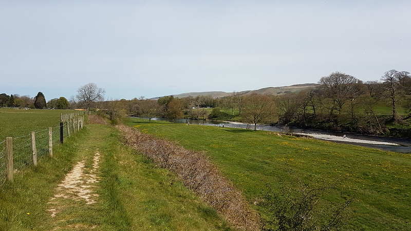
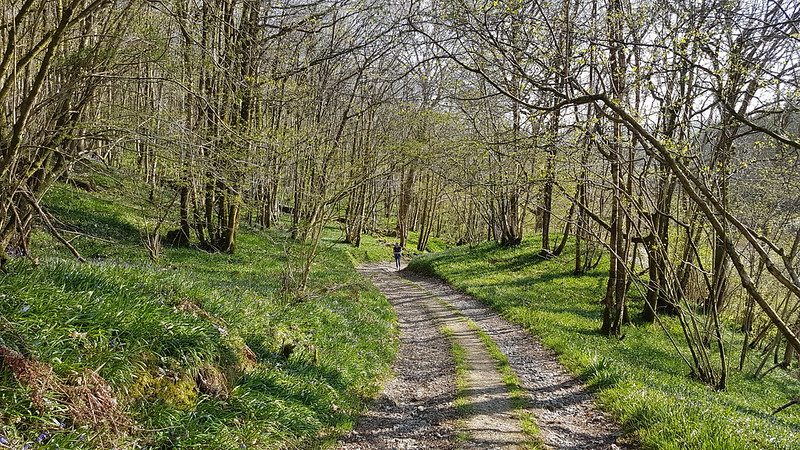
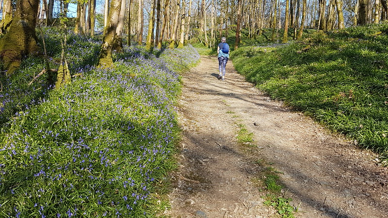
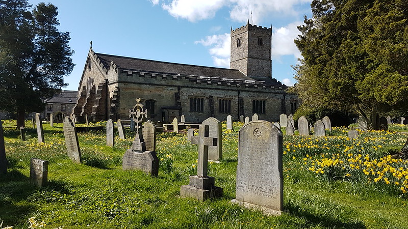
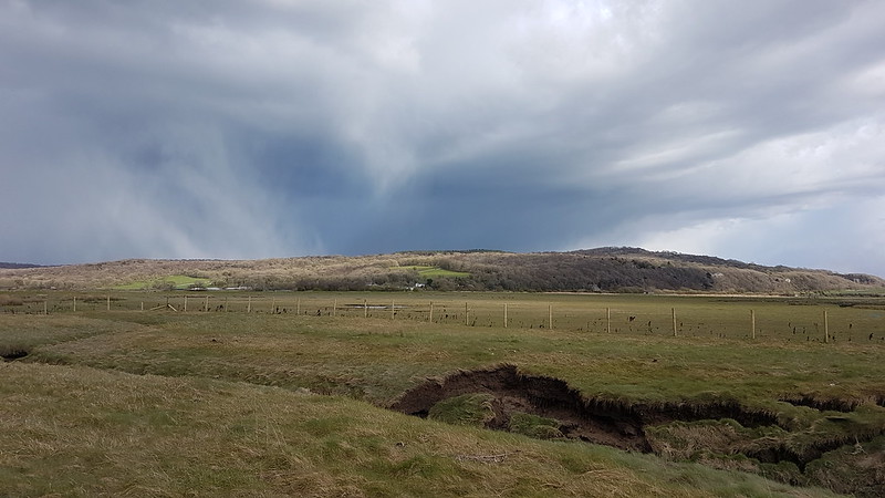
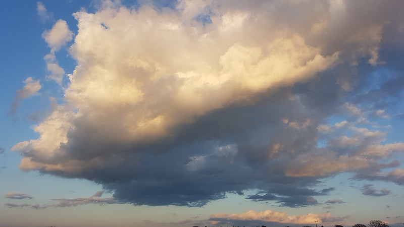
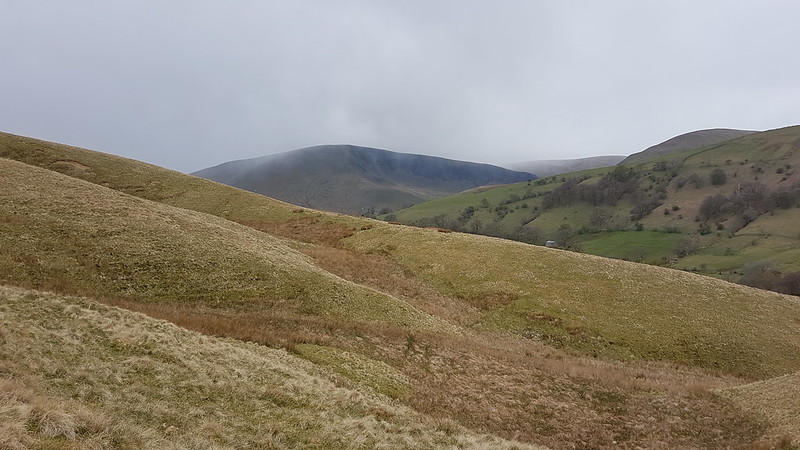
I haven’t ventured out on the hills on my own all that much this year. Of course, we were supposed to stay ‘local’, what ever that meant, for quite some time, then those restrictions were relaxed, but I don’t seem to have got back into the habit somehow. This walk, on the sprawling moors of Baugh Fell being the notable exception. It began inauspiciously, in the parking area just off the Sedbergh to Kirkby Stephen road, south of Rawthey Bridge, with low cloud obscuring the Howgill Fells and a light drizzle falling. I was heading for the path which cuts across the slopes of Bluecaster heading into the upper reaches of the River Rawthey.

20210502_105018
Wild Boar Fell and Swarth Fell

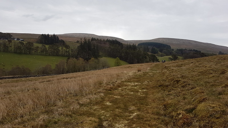
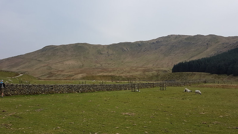
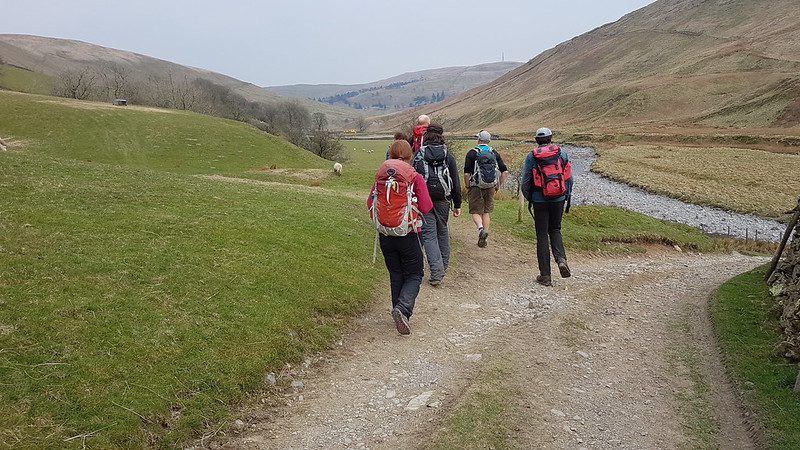
Along the path I leap-frogged a group of three who had set-off from the same parking spot just before me. They were the last people I would see for quite some time.

20210502_110143
The Rawthey near Needle House and Uldale House.
20210502_111456
The Rawthey
20210502_112219
Whin Stone Gill

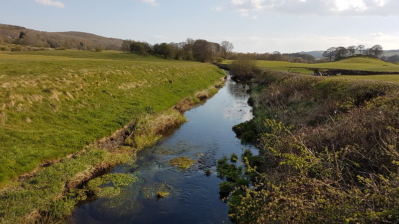
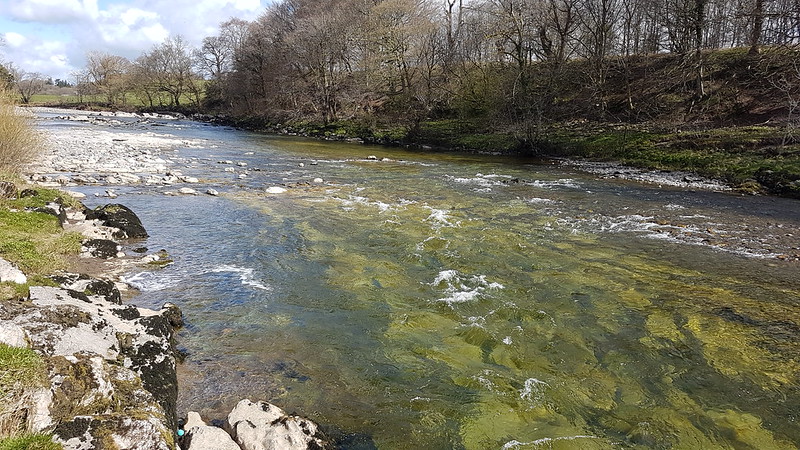
The waters of all of the streams which feed into the Rawthey ultimately end up in the Lune, and so fall under the remit of my Lune Catchment project. On the map, Needlehouse Gill and Uldale Gill look like an interesting alternative way up onto Wild Boar Fell. Whin Stone Gill, on the other hand, skirts Holmes Moss Hill, one of the boggiest places I have ever walked, so I might be leaving that one for a while!

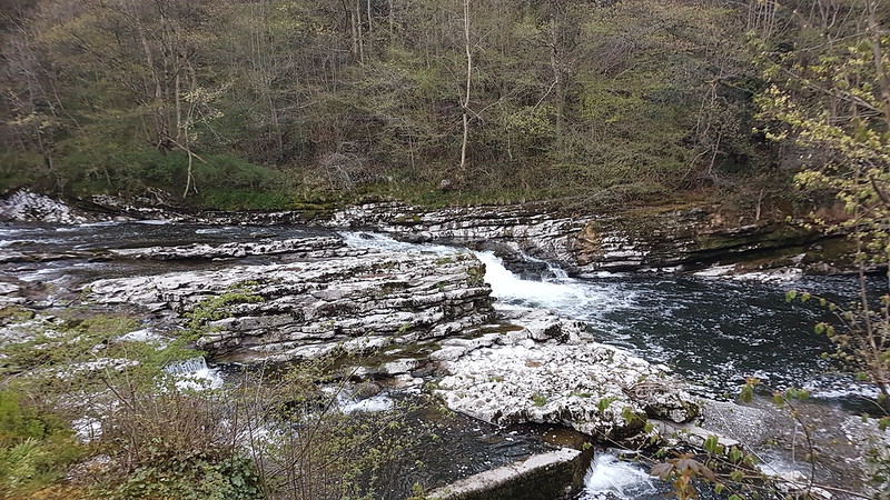
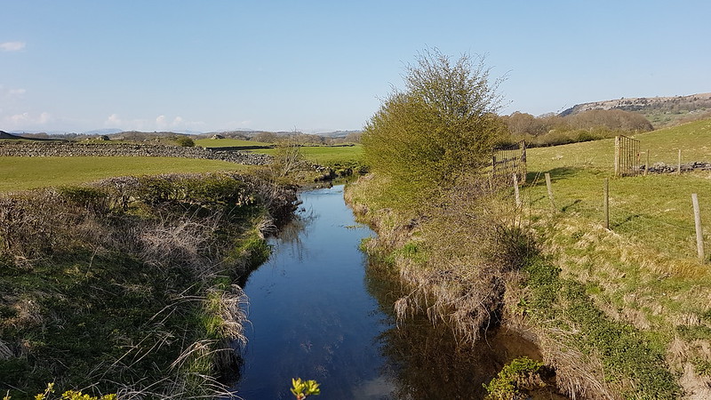
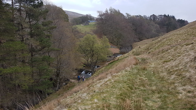
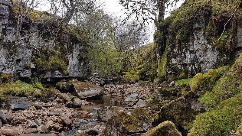
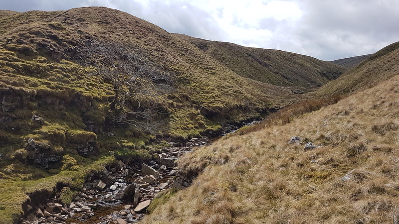
Anyway, sticking with the Rawthey, as I continued upstream I passed a series of small cascades, including this one…

20210502_113644

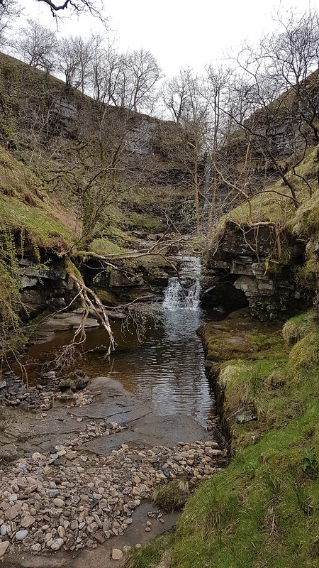
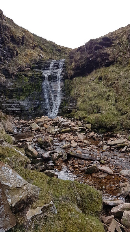
Behind which, through the trees, you can just about make out Uldale Force, contained within it’s own little amphitheatre.

P1330363

It’s not Yorkshire Dales tallest, widest, or most spectacular waterfall, but it’s a smashing spot. At the back of my mind, when I’d planned this walk, I’d been thinking that I might manage a brief dip in the pool at the bottom of the fall, but it was still a bit damp, and quite cool, so I reluctantly abandoned that idea.

P1330361

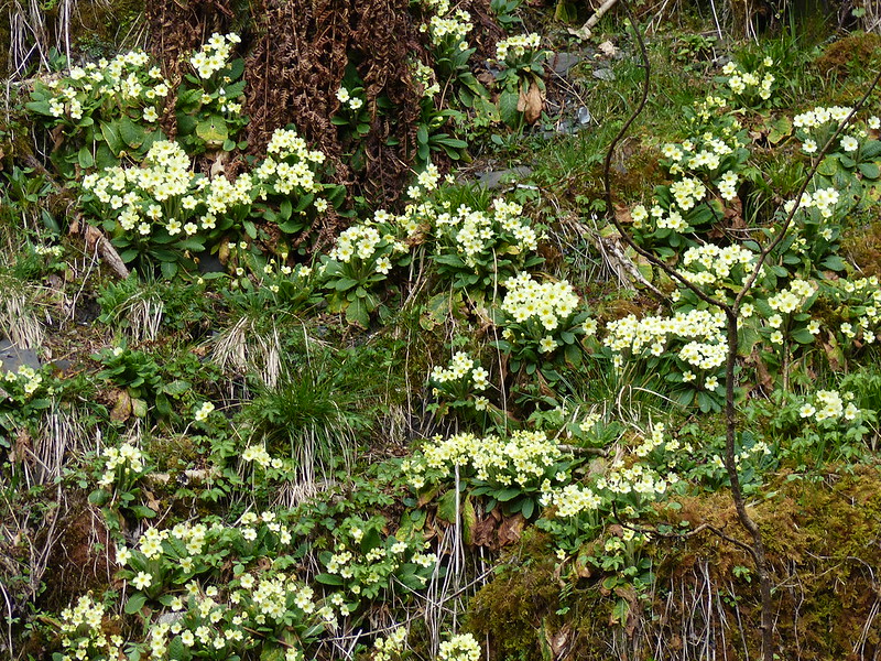
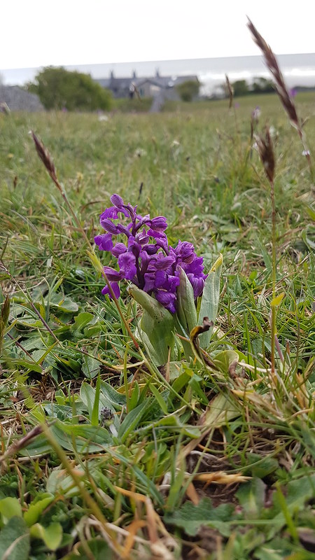
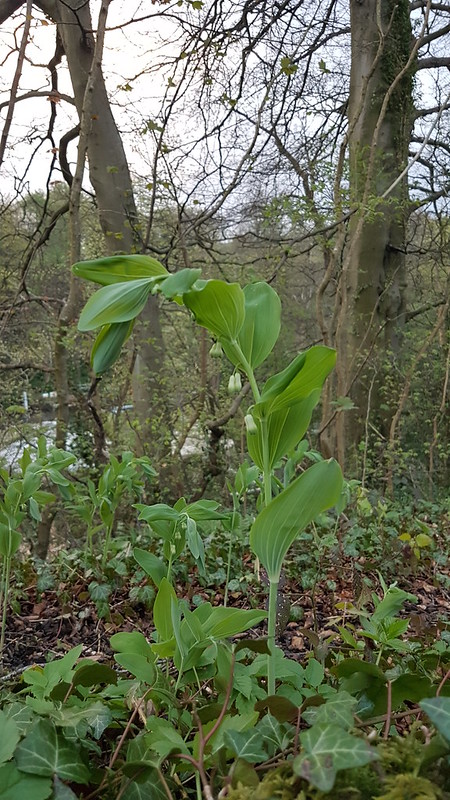
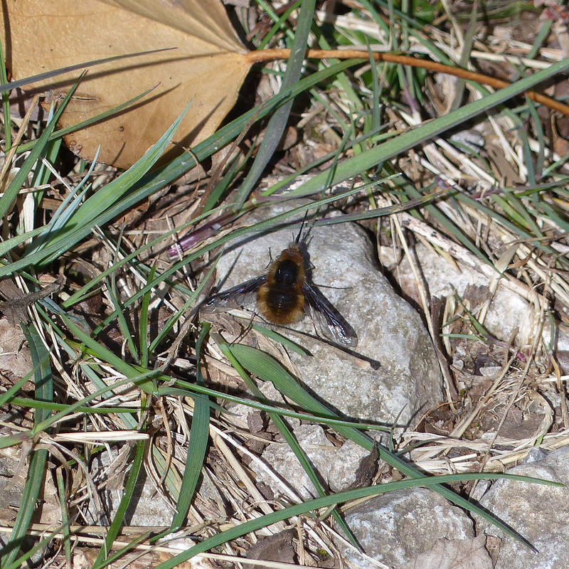
I took solace instead in the abundance of Primroses growing on the far bank – this photo just shows one small section of an absolute mass of flowers.

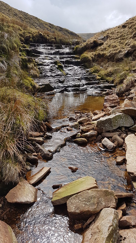
From Uldale Force, it’s necessary to climb up above the river and it’s steep banks for a while, but I soon rejoined the watercourse further up.

20210502_115810

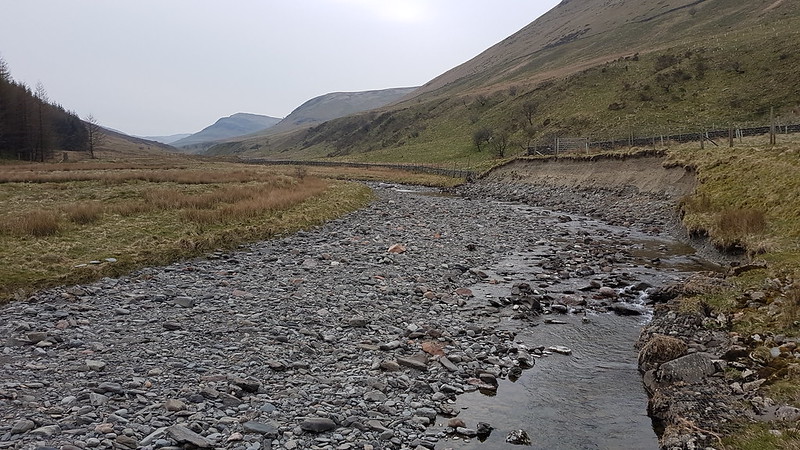
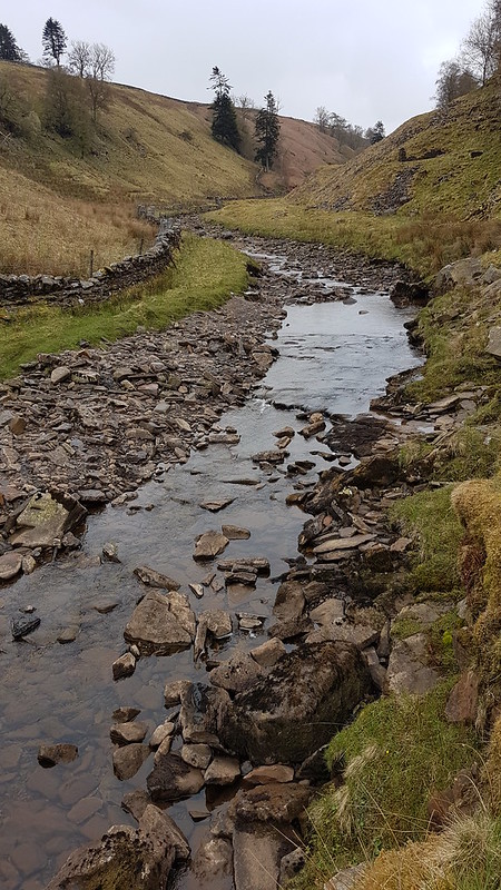
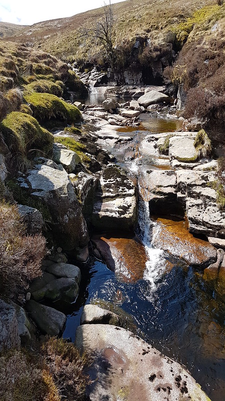
The Rawthey passes through a rocky little ravine for a while, where progress was quite slow, as I crossed and recrossed the stream. (Somewhere, the River Rawthey becomes plain old Rawthey Gill.)

20210502_122426

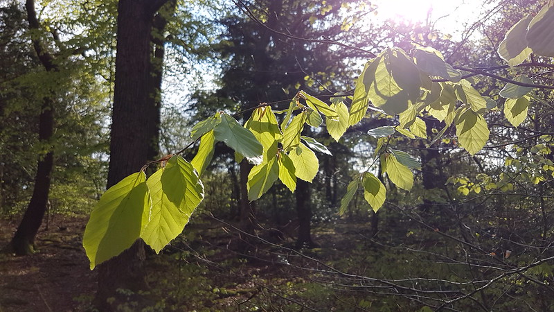
At some point the sun had come out. I came across a rather tempting little pool and hatched a new plan: make a brew, swim whilst the tea cooled a bit, get out and drink the brew to warm up. Perfect. Or it would have been had I remembered to pack a gas canister. So I abandoned that plan in a fit of pique.

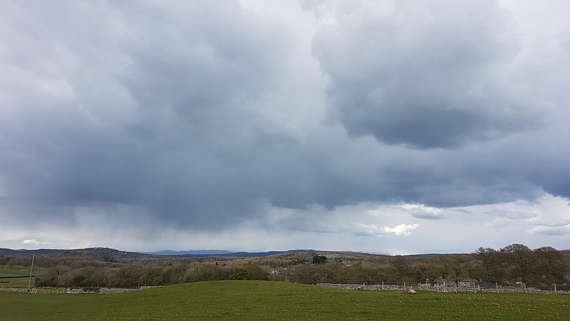
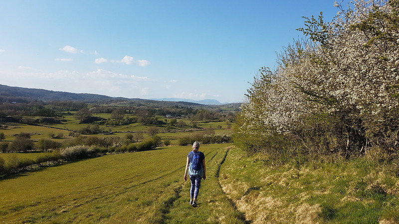
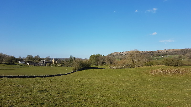
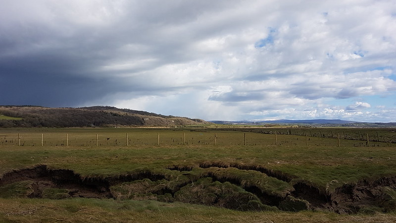
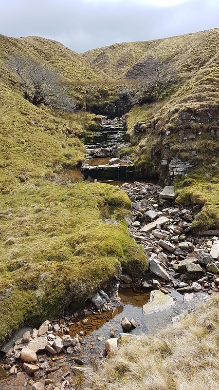
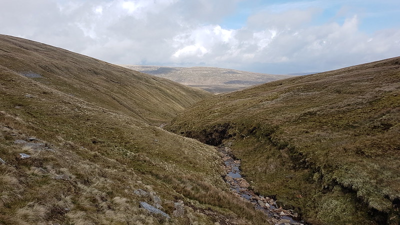
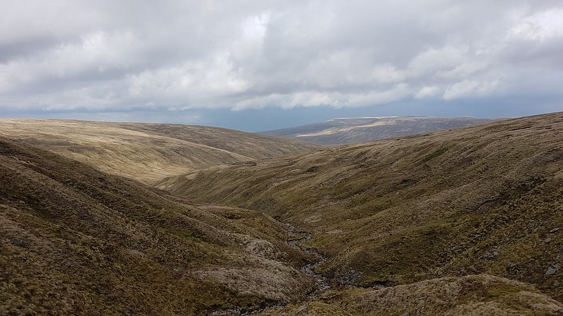
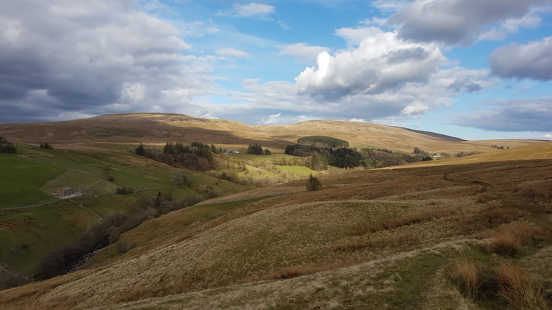
At Rawthey Gill Foot, (perhaps where the name change occurs?) the landscape opens up and the feeling of space is immense. This would prove to be a feature of the day.

20210502_130858

As I climbed and the slopes on either side of the Rawthey began to rise again and enclose the gill, I came across a series of delightful little pools, just about large enough for a dip.

20210502_131513

I’m pretty sure this…

20210502_131700

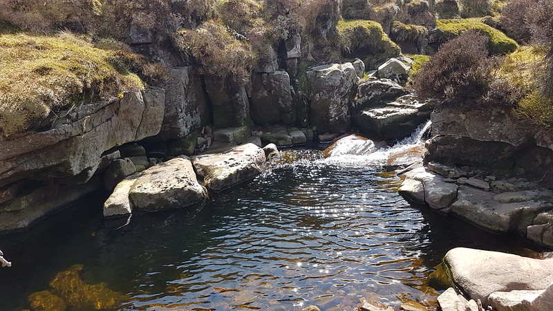
…is the one I swam in, not that there was room for more than a couple of strokes. What was it like? It was the first of May, so it was pretty bracing, but the sun was shining, the views were great and there was absolutely nobody about, so I enjoyed it immensely.

Would have liked a cup of tea afterwards though.

20210502_134544
A substantial side stream – I think this might be Swere Gill..

All of the streams hereabouts look like they would repay exploration. It would be good, in dry weather, to camp in the vicinity of Rawthey Gill Foot and have a proper explore. Some of the streams drain the other way, down into Grizedale, and into the Clough River, but that’s another tributary of the Lune, so it’s a win win from my point of view.

20210502_134551

Plodding up the stream I was really in my element – following a watercourse into the hills has always been a favourite occupation of mine. Progress can be slow, but there always seemed to be another little fall just around the corner to keep me entertained.

20210502_140627
20210502_141051
20210502_141436
I’d been a bit concerned beforehand that the going might be very boggy, but in the event, it wasn’t (not till later in the day anyway). I’ve subsequently read some fairly disparaging things about Baugh Fell, one of them being that it’s essentially a giant sponge, so I think I picked a good time to visit, after a prolonged dry spell. I did eventually sink to my knees into a patch of hillside which I should have noticed was a slightly brighter green than the surrounding slopes.
20210502_145509
Looking back down the Rawthey toward Wild Boar Fell and Swarth Fell.
20210502_150146

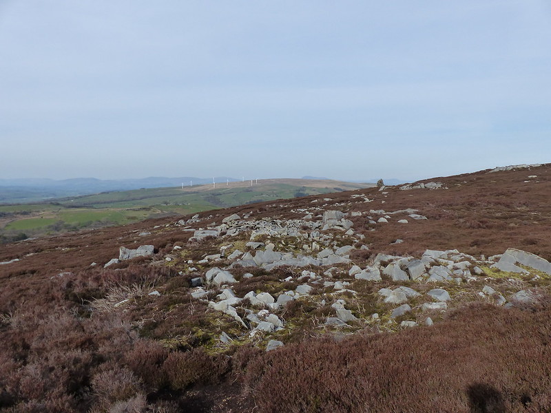
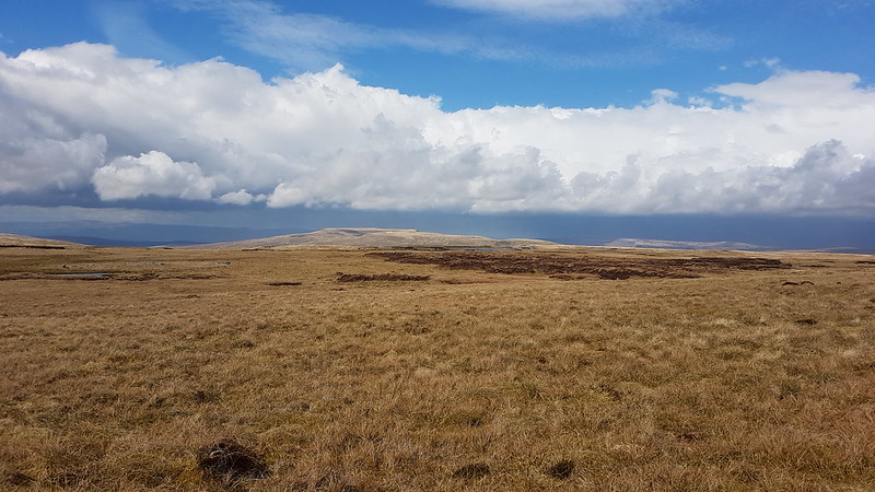
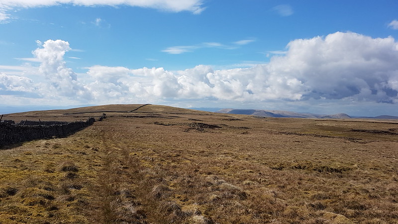
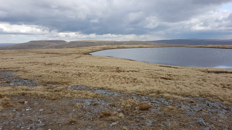
As I approached the top of the gill, I was careful to keep left at every opportunity, thinking that would have me emerging onto the plateau of Baugh Fell near to the East Tarns. I must have left it too late to turn left however, so that I actually came out just below Knoutberry Haw. The ground ahead looked worryingly flat so I cut left where I could see rocks, eventually hitting the ‘ridge’ between Knoutberry Haw and Tarn Rigg Hill.

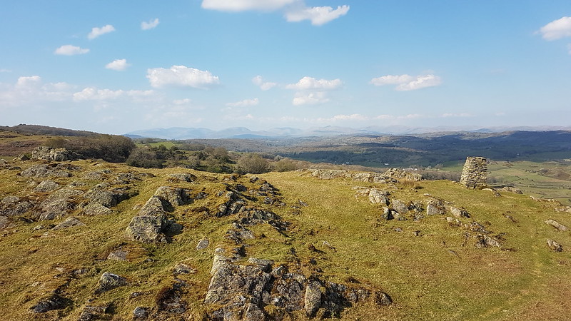
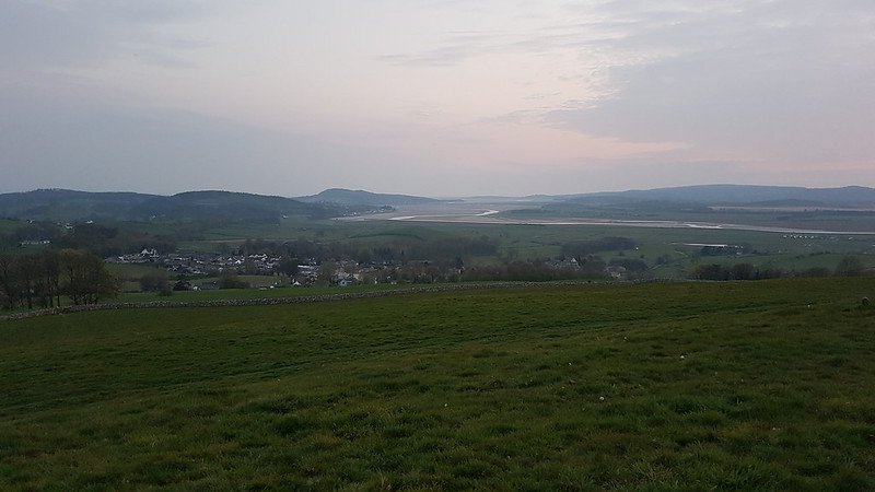
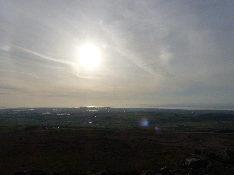
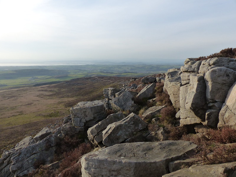
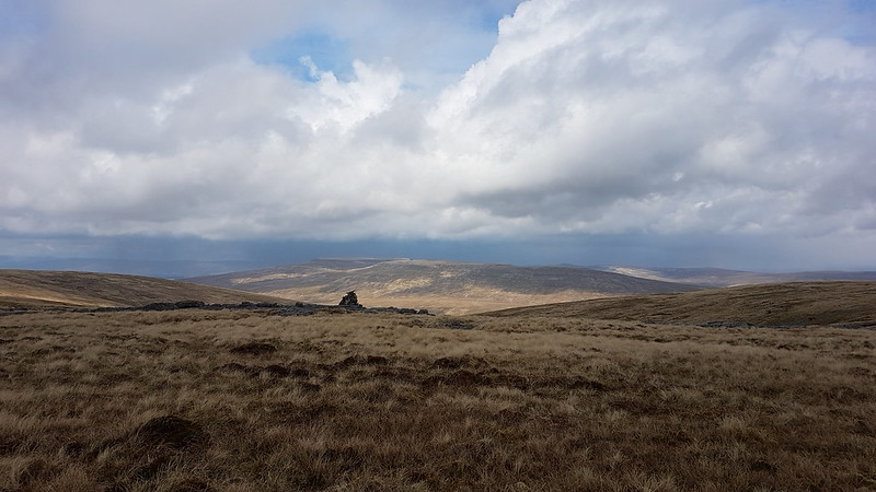
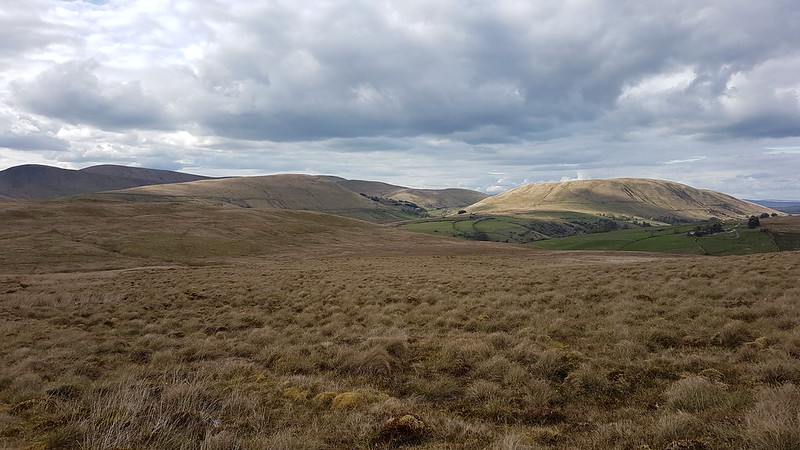
Now I had a view to the south, of familiar hills from a very unfamiliar direction.

20210502_151506
Whernside and Great Coum over Aye Gill Pike.
20210502_152540
Looking north to Wild Boar Fell and the Mallerstang Edges.
20210502_152544
Knoutberry Haw from Tarn Hill Rigg – Howgill Fells behind.

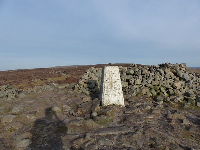
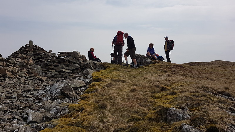
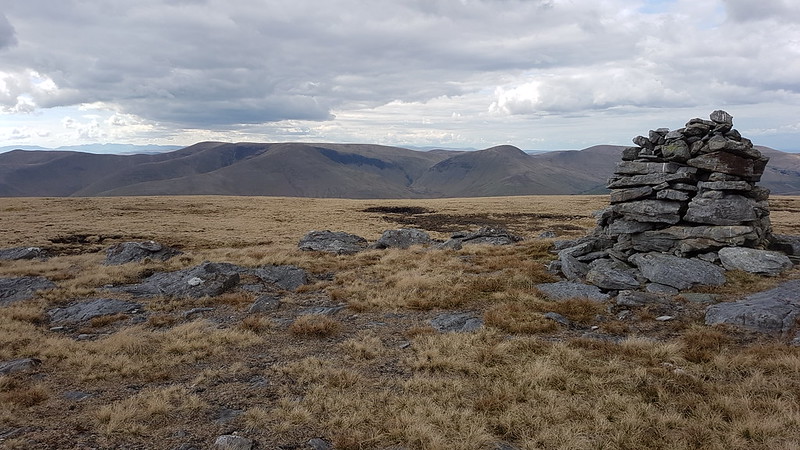
There was a couple by the trig pillar on Knoutberry Haw. I was so surprised to meet other people that I marched right past without taking a photo of the trig.

20210502_155122
The vast expanse of West Baugh Fell.
20210502_160557
Looking back up towards Knoutberry Haw.

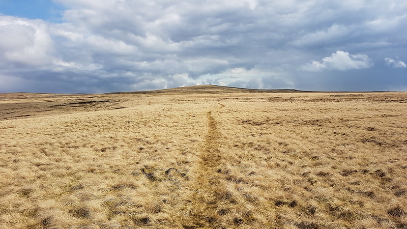
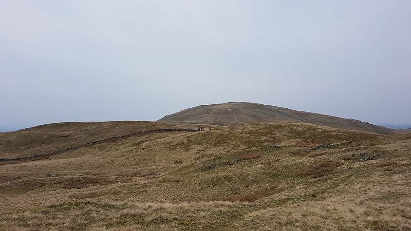
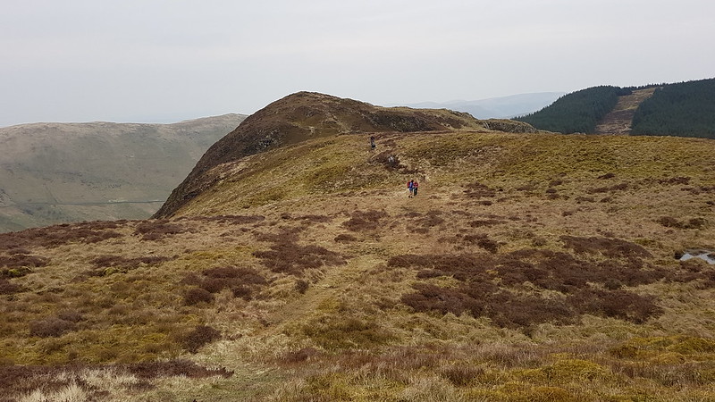
You can see that there is a faint path, but it was surprisingly easy to lose.

Incidentally, although the sun was still shining, by now I had donned all of my clothing, including hat, gloves and cag to keep out the biting wind. The idea that I had been swimming a few hours earlier seemed preposterous.

20210502_155742
Wild Boar Fell and Swarth Fell from West Baugh Fell.

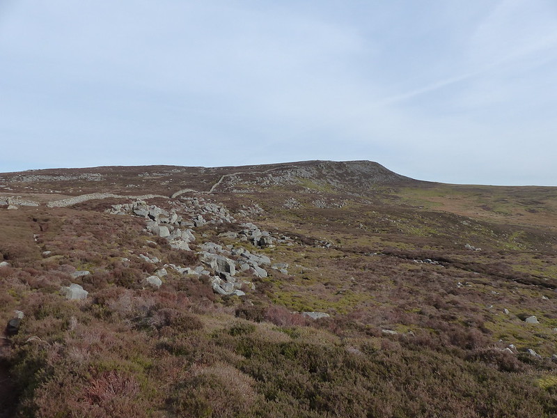
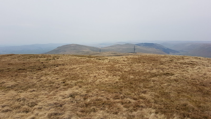
Wild Boar Fell dominated the view all day. It’s far too long since I’ve been up there.

20210502_160603
West Baugh Fell.

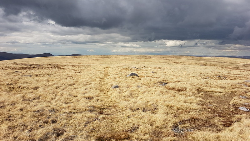
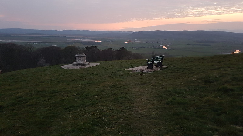
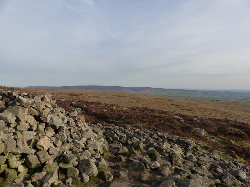
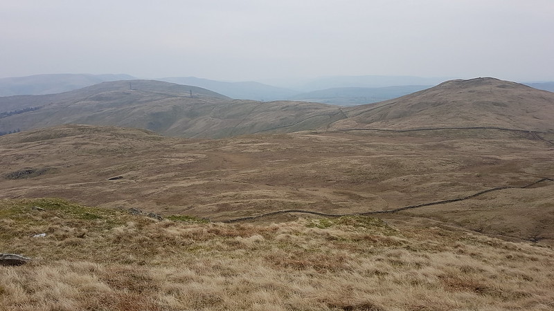
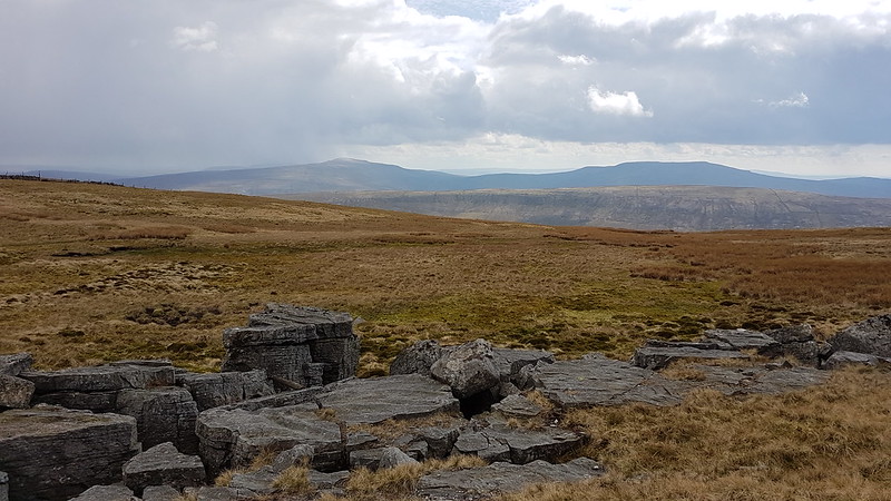
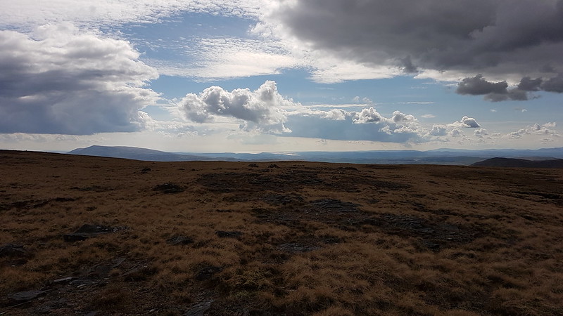
West Baugh Fell was very firm and stony, I can’t imagine that this gets boggy. I was revelling in the space and the light and the emptiness.

20210502_161717
The Middleton Fells on the left, Morecambe Bay in the distance.
20210502_161931
The Howgills from West Baugh Fell. Cautley Spout in the centre.
20210502_162613
Wild Boar Fell and Swarth Fell again, from near West Baugh Fell Tarn.
20210502_173753
Wandale Hill and Harter Fell from my descent route.

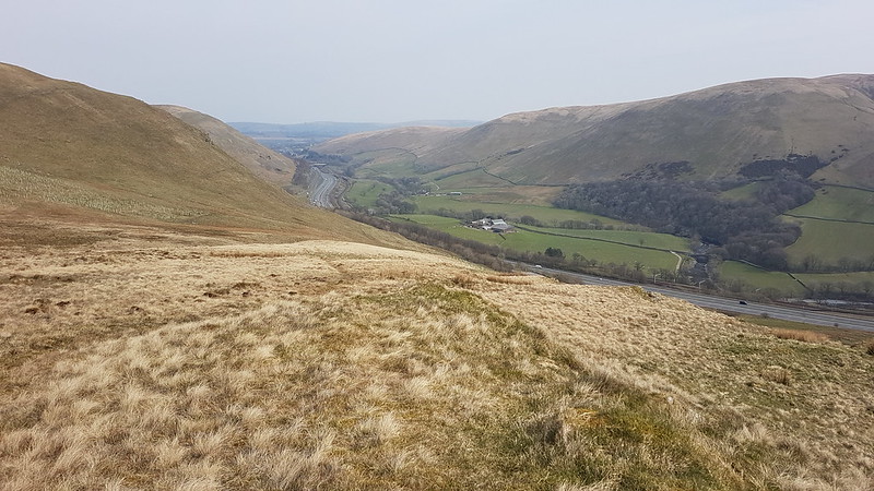
I elected to descend directly toward the car, down the shoulder named Raven Thorn on the map. Not my best decision. It was hard going – wet and tussocky. After rain I suspect it would be purgatorial. Eventually, I gave it up as a bad lot and dropped back down to the track I had started the day on.

20210502_180208
Wild Boar Fell and Swarth Fell one last time.

Right near the end of my walk I met three trails bikers. I was all ready to be disapprovingly cross, when the lead rider popped up his visor, beamed at me and asked me how I was and where I’d been – it was one of B’s rugby team, who lives nearby. It was then that I realised that I don’t know whether to pronounce Baugh as ‘bore’ or ‘bow’ or quite possibly in some other way.

Thirteen miles and a little over 500m of ascent according to MapMyWalk. I once had the bright idea of attempting this walk in an evening after work. I’m glad I didn’t!

As you can see, lots of blue lines draining away from Baugh Fell, and all of them eventually feed into the Lune, so loads of scope for return visits.

Uldale Force, Rawthey Gill, Baugh Fell

Loopy

20210501_153131
Eaves Wood

The first of May, the Saturday of the Bank Holiday weekend. The weather was obviously a bit changeable with some sunshine, but some very dark clouds and showers about too. I managed to eke out 5 miles by walking small loops, returning to the house each time; one through Eaves Wood, one via the Cove and the Lots, and finally which took me to Woodwell.

20210501_163648
Morecambe Bay from the Cove
20210501_164625
Green-winged Orchid on the Lots.
20210501_165748
I think this might be an Acer, but I’m not good at garden plants. I liked the cheerful colours though.
20210501_170141
Coralroot.

I’m always happy to spot the mauve flowers of Coralroot. I knew that it probably wasn’t native to this area, but didn’t realise just how rare it is in the UK.

Coralroot distribution map. Blue dots show native populations.
20210501_170319
Bottoms Wood, decked out with Wild Garlic.
20210501_171314
New Beech leaves
20210501_172718
Ominous clouds and the distant Howgill Fells.

This last photo was the last of several failed attempts to catch the drama of these dark clouds with one tiny cloud on the right really catching the sun and shining quite brightly. It was quite a sight.

I would be heading out in the direction of the Howgills the following day.

Loopy

An Early Purple, Atomic Eggs and Morecambe Skies

20210425_164647
Early Purple Orchid, The Lots.

A post to round of the final week of April. The orchid is from and a short Sunday afternoon stroll across The Lots. Earlier in the day I’d had a walk along the Lune with The Tower Captain, whilst our respective lads were training at Underley Park, home of Kirkby Lonsdale RUFC.

20210425_122505
River Lune near Kirkby Lonsdale.
20210425_122150
Pipe Bridge over the Lune…
20210425_122249
Carrying water from Haweswater to Heaton Park reservoir in Manchester.
20210426_200935
Harmony Hall and Laburnum House in Milnthorpe.
20210426_194147

These last two photos from a lazy evening stroll whilst A was dancing.

The next time she has a lesson, I was more ambitious and drove to park by Leven’s Bridge for a walk by the River Kent.

20210427_200957
Force Falls, River Kent.

This circular route was a firm favourite when the kids were younger. It’s around three miles – not too taxing for little legs. Not bad for an evening stroll either.

20210427_201200
Solomon’s Seal by the Kent.
20210427_201425
River Kent.

Later in the walk, I encountered both the Bagot Goats and the Bagot Fallow Deer, both unique to the Levens Deer Park. I took photos of the goats, but it was too dark by then. (This post, from the early days of the blog, has photos of both, and of the boys when they were cute and not towering teenagers)

20210430_202739
Midland Hotel Morecambe, from the Battery. It’s here that, hopefully, the Eden Project North will be built.
20210430_202937
Lake District Fells from Morecambe Prom.
20210430_203733
Midland Hotel again. Arnside Knott behind and right of the small building on the Stone Jetty.

TBH and I had a half-hour stroll along Morecambe Promenade, prior to picking up B from meeting his friends in Heysham.

An Early Purple, Atomic Eggs and Morecambe Skies

A Walk from Bowland Bridge

20210424_151057
Across the Winster Valley to Whitbarrow Scar.

A hot Saturday afternoon, towards the end of April. TBH and I escaped for a short stroll around the Winster valley.

20210424_162700
Eastern Fells from Raven’s Barrow.

Raven’s Barrow isn’t really a summit, just a bump on the edge of sprawling Cartmel Fell, but it has a huge cairn (with a seat built into it) and superb, panoramic views. We found a place to get out of the wind and sat for quite some time. With a brew, of course.

20210424_162645
Whitbarrow from Raven’s Barrow.
20210424_154905
Looking South from Raven’s Barrow.
20210424_154905
With annotations – what do you think?
20210424_164316
Hmmmm – not sure that I agree.

I like the idea of footpath signs with a quote. I always like to know where quotes originate, but couldn’t track this one down. I did find this…

“I will not follow where the path may lead, but I will go where there is no path, and I will leave a trail.”

…which seems to be often wrongly attributed to Emerson, but is actually the work of Muriel Strode, ‘the female Walt Whitman’, who I think may repay further investigation.

20210424_164735
St. Anthony’s Church.
20210424_165924
Whitbarrow Scar again.
20210424_170312
River Winster – looking South.
20210424_170315
River Winster – looking north.
20210424_170806
Raven’s Barrow from the edge of Colehowe Wood.
20210424_171640
Cowclose Wood.
20210424_171543
Cowclose Wood bluebells.
20210424_172319
Nearing the top of Cowclose Wood.

The bluebells in Cowclose Wood were fantastic. I’m afraid, as usual, my photos don’t begin to do them justice.

20210424_172516
Pool Bank.

Pool Bank is a tiny hamlet, full of charming old buildings.

20210424_172645
Fox’s Pulpit Pool Bank – another place where the Quaker founder preached in the open.
20210424_173019
Descending towards Coppy Beck accompanied by Blackthorn blossom.
20210424_173929
Cowmire Hall and the northern end of Whitbarrow Scar.
20210424_181050
The Hare and Hounds – back in Bowland Bridge.

I think the battery on my phone died at Pool Bank. From there we followed the path through Broomer Dale to near Lobby Bridge, then another path to Scale Hill, then back along the minor lane we had started on.

A Walk from Bowland Bridge

Three Evening Outings

20210420_200444

I didn’t get out half as much this summer for after walk wanders as I usually do. I made excuses about the being too busy with driving A to and from dancing lessons, but these three evening walks from the same week in the tail end of April give the lie to that – so, obviously, I just didn’t make enough effort as the summer went on.

But anyway – back to the week when I was still trying. On the Monday evening, I dropped A off in Milnthorpe and drove the short distance to park in Heversham and climb Heversham Head. Bizarrely, in nearly thirty years of living nearby I’ve never climbed it before. In my defence, on the OS map there’s no path shown – I think it was Conrad who alerted me to the fact that there is actually access to the top. I followed the route in this leaflet (I think the field boundaries shown might be slightly misleading). Very good it was too, but it’s a shame I hadn’t set off earlier since the very flat light rather spoiled the extensive views.

20210420_203620

I shall have to come this way again, although I’m slightly put off by the many pinch-stiles, some of which are very tight for the more portly gentleman, and one of which had me thinking I was irretrievably stuck and contemplating having to wait there, like Winnie the Pooh in Rabbit’s burrow, until I had lost some weight.

20210420_203905
20210421_181802
Dallam Hall

The following night was brighter, and I was out earlier. This time I walked from where A has her lessons, down through Milnthorpe, through the grounds of Dallam Hall, beside the River Bela, and out to where the Bela flows into the Kent estuary.

20210421_183131
River Bela – Heversham Head prominent on the right-hand side in the background.
20210421_183556
River Bela and Milnthorpe Bridge.
20210421_184211
River Bela and Milnthorpe.
20210421_185640
Harmony Hall.
20210421_185649

It’s always very sobering to be confronted with evidence of sleepy little Milnthorpe’s past as a slaving port.

Incidentally, I’m a huge fan of both Cicerone Press, these days based in Kendal, and of Mr Unsworth.

On the Friday evening, with no driving duties to undertake, I drove straight from work to the Rigg Lane carpark, for an evening ascent of Clougha Pike.

On my way up, I was tempted away from my usual route by a path which leading up into Windy Clough. A thin path took me onto slopes of shattered stones and boulders on the left side of the valley. The path seemed to split frequently, each bifurcation leading to difficult choices between two increasingly marginal options. Eventually, there was no discernible path, so I struck uphill, finding a thin trod following the wall along the high ground. When this hit a cross-wall I followed it down into the valley bottom, where there was a gate and, once again, a path. This lead me into surprisingly tall and scratchy vegetation, but also, eventually, onto a lovely path which gradually ascended up towards the edge on Clougha Pike.

P1330294
Looking towards Caton Moor, having escaped Windy Clough.
P1330306
Looking up the edge.
P1330312

There were loads of Red Grouse about. The males were strutting their stuff and very easy to photograph, so I took lots of pictures. The females were far more discrete and only showed themselves very briefly. They’re endearing birds, if somewhat loud. It’s a shame that they’re essentially there to be shot by ‘sportsmen’.

I found a comfortable spot on a huge boulder and sat down for a brew and a rest and to contemplate the view. It was warm, but very windy, so I was surprised to see this tiny Green Hairstreak clinging to the rock.

P1330320

Because I’ve previously seen these butterflies in woodland I’d incorrectly assumed that they are woodland creatures, but apparently they are well adapted to a number of habitats, including moorland.

P1330329
Another male Grouse.
P1330330
Along the edge.
P1330333
Who you looking at?
P1330335
P1330337
Meadow Pipit (I think).
P1330338
The top!
P1330339
Looking over to Hawthornthwaite Fell.
P1330342
Morecambe Bay.
P1330345
Hunkered down for another brew and a ‘meal deal’ tea.
P1330346
Looking along the edge.

After my earlier misadventure, I wasn’t dissuaded from taking another new route – I’d spotted a thin path traversing the ground just below the edge and decided that would give an interesting new perspective.

P1330347

It proved to be a very pleasant alternative to retracing the edge path, although I suspect that in winter it may well be very boggy.

Three Evening Outings

Whinfell Common and the ‘Other’ Borrowdale

20210418_111300
Tebay Gorge.

As travel restrictions were relaxed, Britain’s new found fervour for getting into the outdoors wasn’t abating at all. Old certainties regarding parking could no longer be relied upon. In the past, car parks would generally have spaces before about 10 and remote and less popular spots would never fill up anyway. On this occasion, we were meeting at the small parking space just off the A685, close to Low Borrow Bridge in the Tebay Gorge. At 9 it was already full, but I managed to squeeze in by parking behind a couple of friends cars, blocking them in.

Between Little Coum and Great Coum on Grayrigg Pike, a few bends in the contours hint at the possibility of a pleasant ridge route to the top. I’ve become a bit obsessed recently about finding these off-piste routes. I knew this one was good because I’ve been this way before. And I’m not the only one to have noticed it, since there’s actually a faint trod following the ridge all the way to the summit cairn.

All along that path, and, in fact, generally along the subsequent ridge route, we saw regular grey curls of…

20210418_114934
Fox scat.

Full of tiny bones and hair and often situated on a prominent rock or small mound by the path. I was confident at the time that this was Fox scat and I’m even surer now that I’ve had a chance to do a little research. For some reason the EWO took exception to my identification. I don’t know why he chose to argue, it’s not like I ever disagree when he’s pontificating about his chosen area of expertise, the weather. Oh wait – I always disagree when he’s opining about the weather. Fair enough.

Actually, I realise, that’s what the EWO have always done when we’re out for a walk together, hashing over the latest news in politics, or conservation efforts, or the measures around COVID19, or the most recent stupid fads in education, or whether the midfield can accommodate both Gerard and Lampard (we’ve been doing this for a long time!). I think it’s only by adopting a contrary position whilst gently arguing with the EWO or UF on a walk, that I know what I actually think about an issue.

20210418_115317
Grayrigg Pike – the first of many tea stops.

It was my dad’s birthday, so I video-called from Grayrigg Pike and chatted with him and my mum and shared the somewhat hazy views whilst enjoying a cup of almond tea.

20210418_124500
The onward route – Whinfell Common.

The weather wasn’t brilliant, but it wasn’t dreadful either, and with such good company and the ridge almost to ourselves it made for a very fine day.

20210418_132323
Whinfell Beacon
20210418_134930
Looking back to Grayrigg Forest.
20210418_152138
Looking back again, Grayrigg Forest on the left, Whinfell Beacon on the right.
20210418_135127
The way ahead, Castle Fell and a tree-covered Mabbin Crag behind.
20210418_154640
Stone shelter on Mabbin Crag.
20210418_155653
Around the cairn on Mabbin Crag.

It’s a lovely ridge walk this, not spectacular, but little walked. I was highly amused by the Prof, by far the youngest member of the party, who skirted around Whinfell whilst the rest of us went up, and then moaned in disbelieve each time he realised we had another ascent to deal with over Castle Fell, Mabbin Crag and Ashstead Fell (which has a number of knobbles to be ascended).

20210418_161743
On Ashstead Fell, Mabbin Crag behind.
20210418_162902
On Ashstead Fell, looking into the upper reaches of Borrowdale.
20210418_174904
Borrow Beck.

Aside from a pleasant leg-stretcher in good company, I’d been looking forward to this walk because Borrow Beck is a tributary of the Lune and therefore a part of my Lune Catchment project. I’ve never walked along the valley before and it didn’t disappoint. We even squeezed in one final brew stop on the banks of the beck.

20210418_175807
Rough Crag and Castle Fell.
20210418_180151
Wandering down Borrowdale.

All-in-all, a grand day out.

Andy’s account of the day, with somehow slightly less grey looking photos, and a map is here.

Andy reckons 11 miles and 2,500 foot of ascent. MapMyWalk gives 12 miles, but only around 1,800 feet. I’m not sure which to believe.

Whinfell Common and the ‘Other’ Borrowdale

A Market, A Fire-pit, Clouds and Sunsets

20210411_111225
Ruskin’s View

Mid-April. Most of these photos are from a single day, which started with rugby training for B in Kirkby Lonsdale. The measures around the pandemic almost entirely wiped-out B’s final season with his age group team, although knee surgery would have kept him on the sidelines anyway. Hopefully he’ll soon be fit to join his contemporaries in the Colts team.

While he was training, I took my usual stroll by the Lune and through Kirkby. It’s unusual to see the river so clear.

20210411_111451
St. Mary’s churchyard, full of daffs.
20210411_111744
The Manor House.
20210411_112733
The Lune.

In the afternoon, TBH and I were out completing a circuit of Jenny Brown’s Point for a change! The sunshine was still with us, but now there were very dark and brooding skies too, a combination I find irresistible.

20210411_160707
Hollins Lane.
20210411_162458
Warton Crag and a snow-dusted Ward’s Stone across the salt-marsh.
20210411_162502
Warton Crag.
20210411_162734
Quicksand Pool and the copper-smelting chimney.
20210411_162917
The Bowland Fells across Quicksand Pool.
20210411_163311
Jenny Brown’s pano (click for larger image).

The remaining photos are from odd days during the second half of our Easter Break.

20210413_200248
Cove sunset.
20210414_194044
Huge cloud.
20210414_201437
Post sunset from Jack Scout.

B often does his best to present himself as a bit of a Philistine, memorably dismissing a stunning cave in the Cévennes, for example, as ‘just rocks and water’, but secretly he’s a bit of a romantic after all. He likes a good sunset and often watches them from Heysham Barrows with his school friends. I think this photo was taken on one of a couple of walks we took together in an attempt to catch the sunset from Jack Scout. We were a bit late on this occasion.

20210417_111813
Saturday market, Dalton Square, Lancaster.

I’m not entirely sure why I was in Lancaster, possibly due to the return of BJJ training on a Saturday morning. What I do remember was how shocked I was to see market stalls and shoppers. Although I’d been back at work for a while, Lancaster always seemed to stay resolutely quiet and traffic free.

20210327_183338
Washing-machine tub fire-pit.

This photos is a bit of a cheat, since it’s from March. Our washing-machine conked out, and, having replaced it, over a couple of Saturdays I dismantled the broken one and salvaged the drum to use as a fire-pit.

It wasn’t until April that we put it to use, toasting some marsh-mallows…

20210417_203447

TBH got a bit carried away…

20210417_203430
Flambéed marshmallow.

Actually, this is typical TBH cooking – she would call this ‘caramelised’.

A Market, A Fire-pit, Clouds and Sunsets