Fairfield Horseshoe with Various Digressions

20220508_093442
Rydal Park. Nab Scar and Heron Pike on the left, Low Pike on the right.

Much as I’m enjoying all of these peak-bagging days out in the Lakes, you may have noticed that I’m finding the write-ups a bit tricky. My local rambles often throw up something in the way of flora or fauna which I can waffle on about for a bit, but I’m finding it hard to know what to say about these box-ticking excursions without endlessly repeating myself.

20220508_094202
A Horse-chestnut festooned with candles in Rydal Park.

So, this rather lovely trot around the Fairfield Horseshoe is a good case in point. Let’s get the usual nonsense out of the way from the off….

Start: pretty early by my recent standards, but hardly Alpine.

Parking: free! Because even Ambleside has free parking, if you’re there reasonably early and you’re prepared to walk just a little bit further.

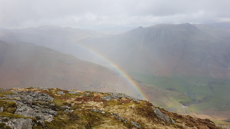
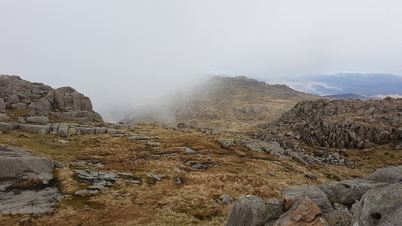
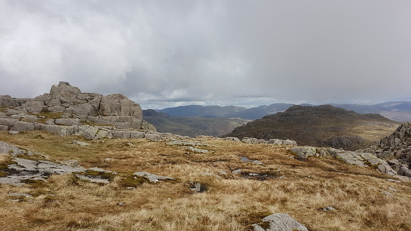
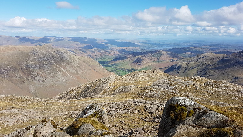
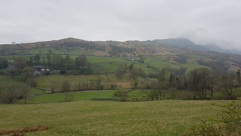
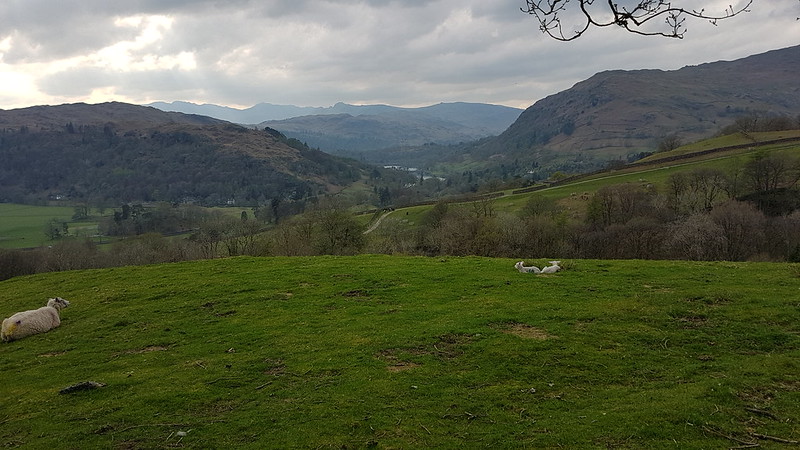
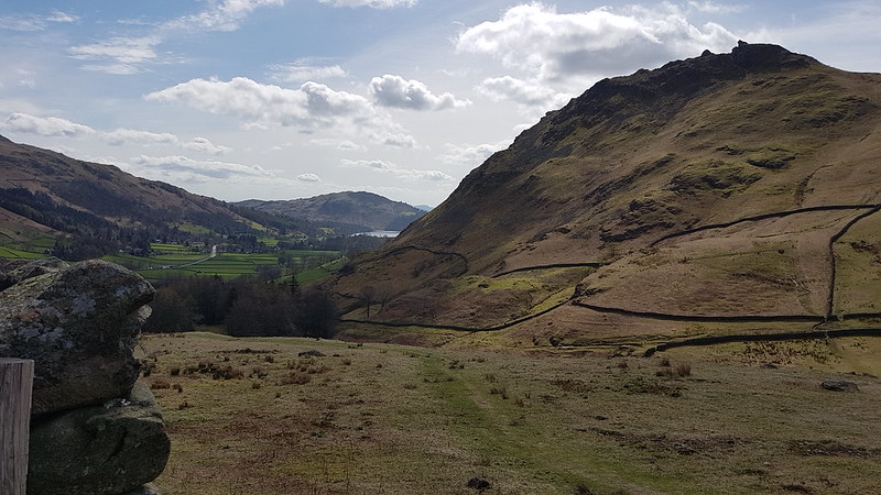
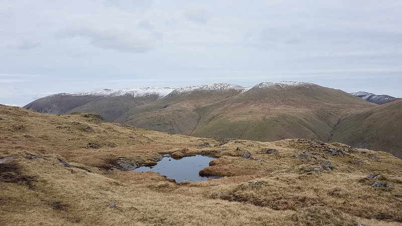
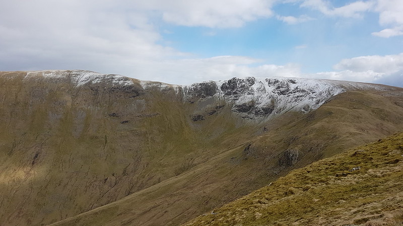
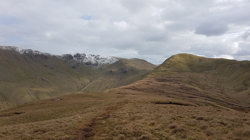
Weather: windy, obviously. Started bright and sunny, even got a bit warm climbing Nab Scar. Cloud came in from the South, so that when I was on Fairfield the sun was still shining on Helvellyn, but I wasn’t benefitting from that sunshine. Stayed cloudy for a while, then brightened up again towards the end of the walk.

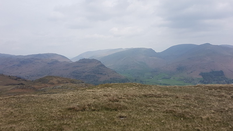
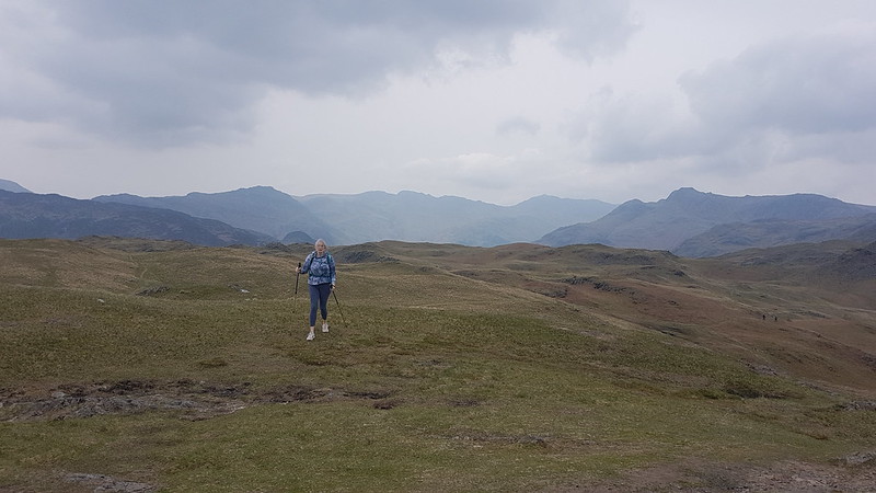
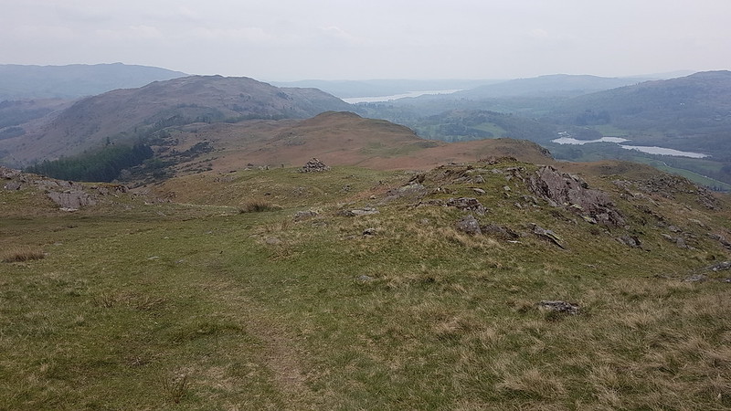
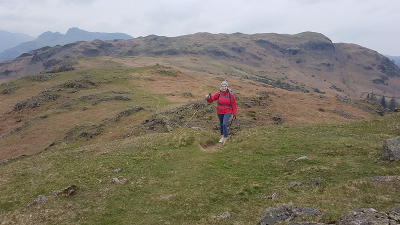
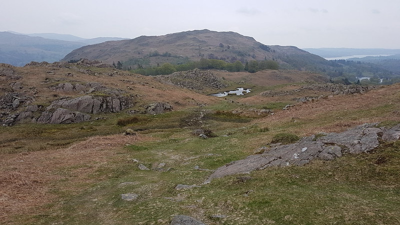
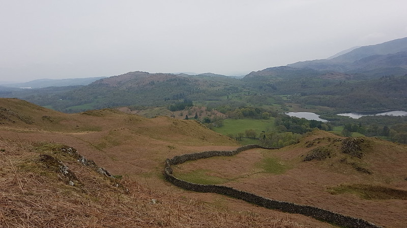
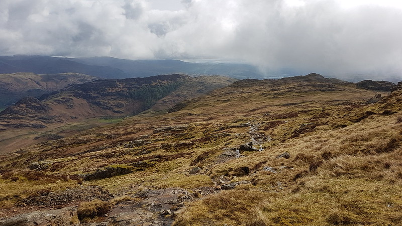
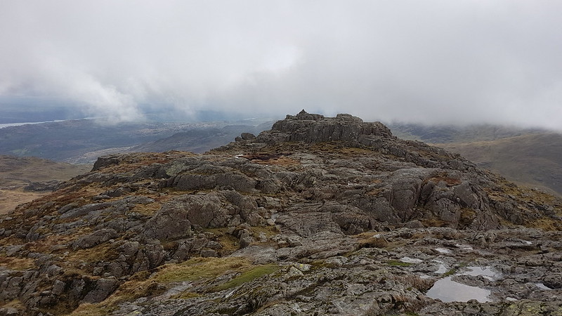
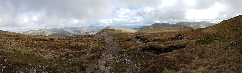
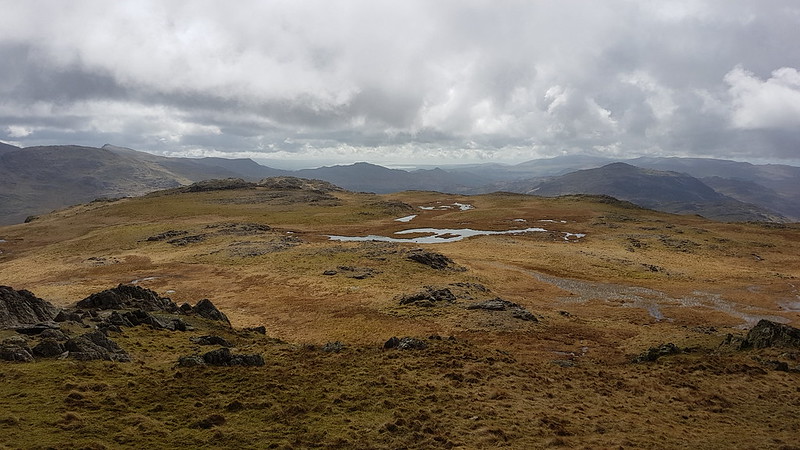
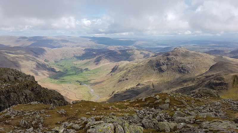
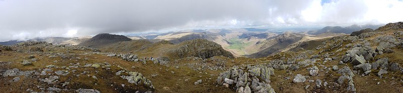
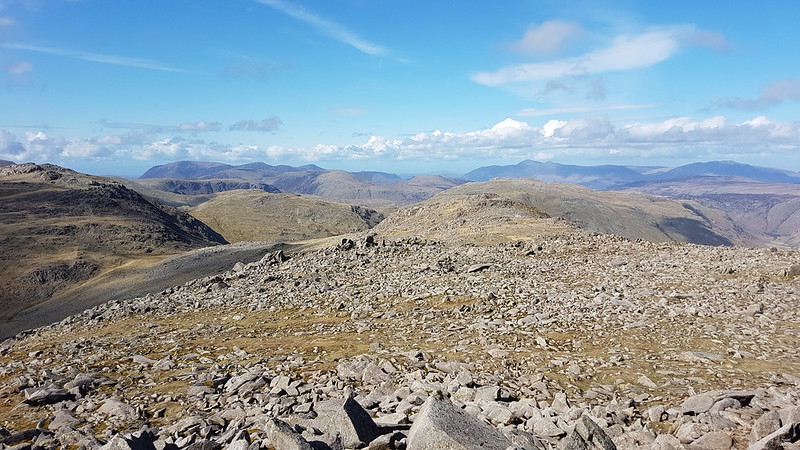
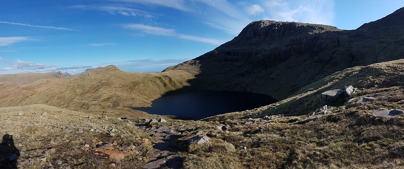
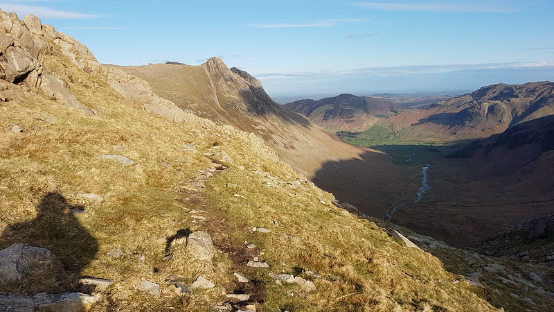
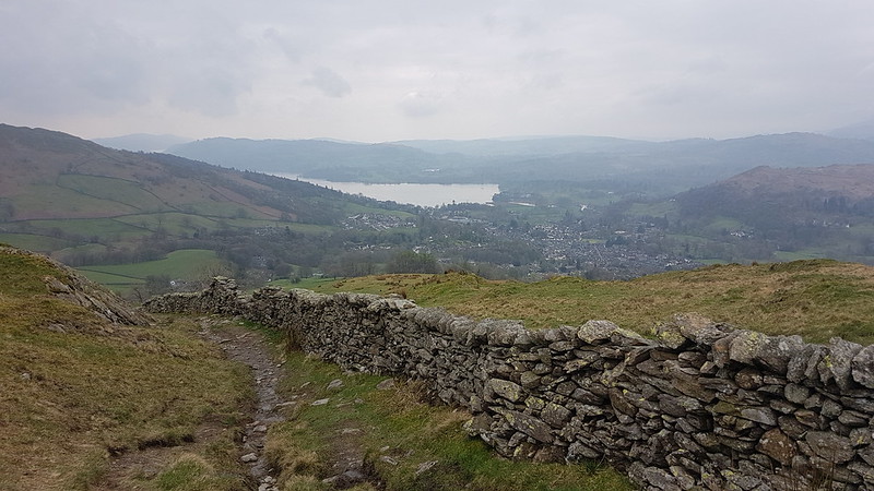
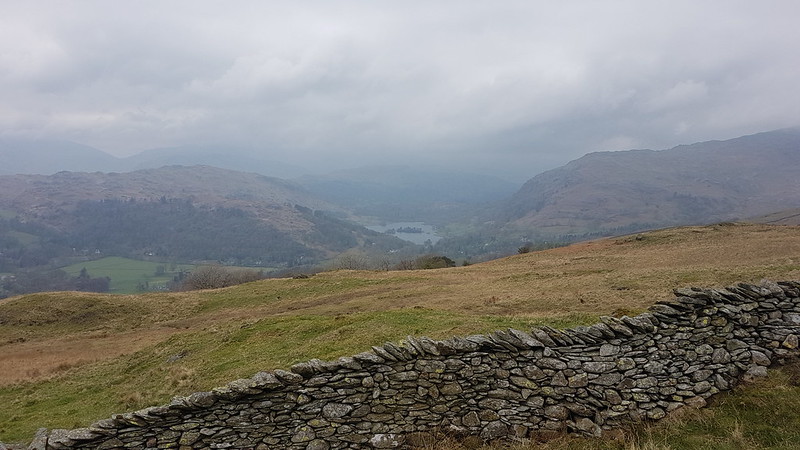
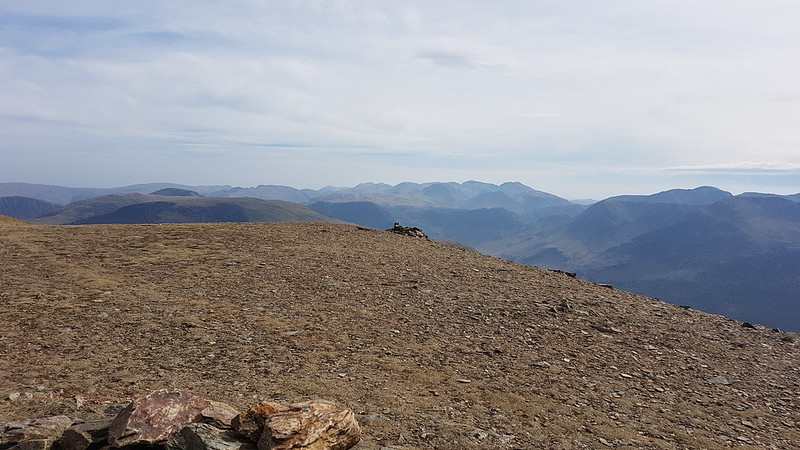
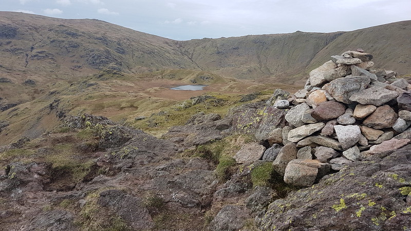
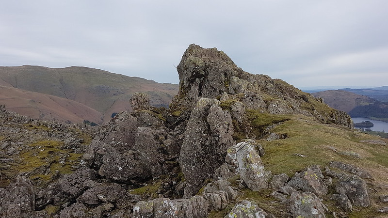
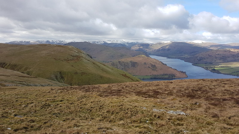
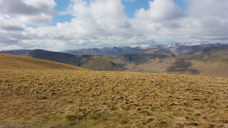
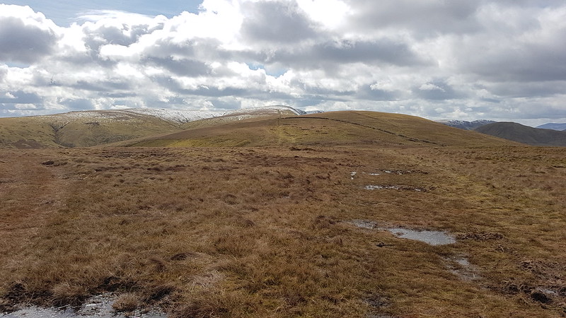
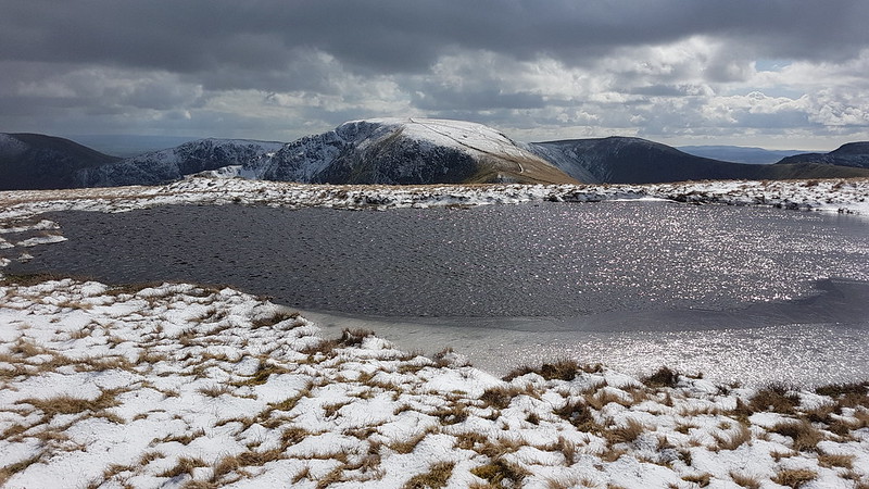
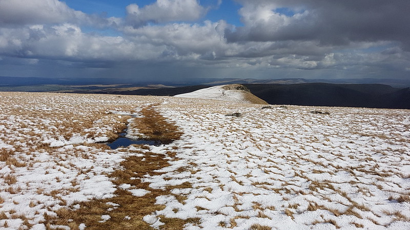
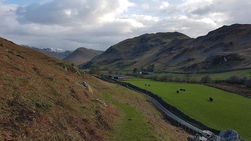
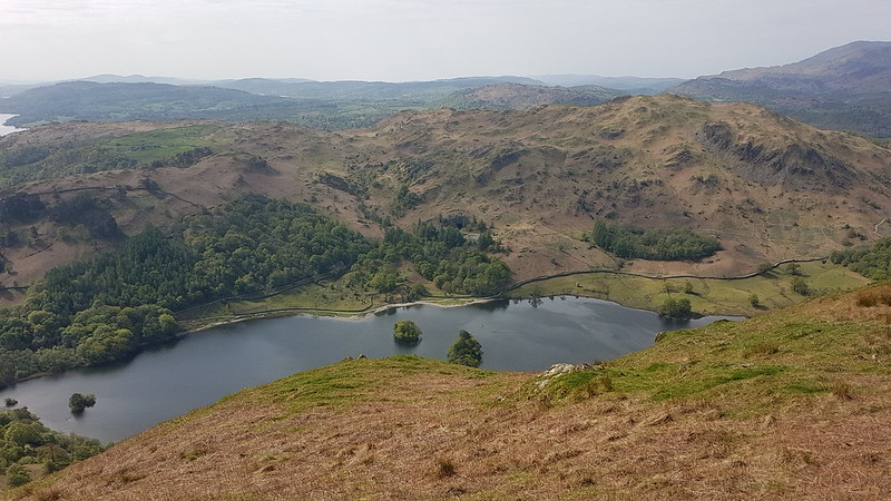
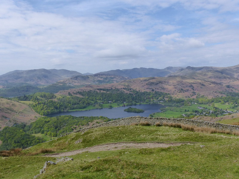
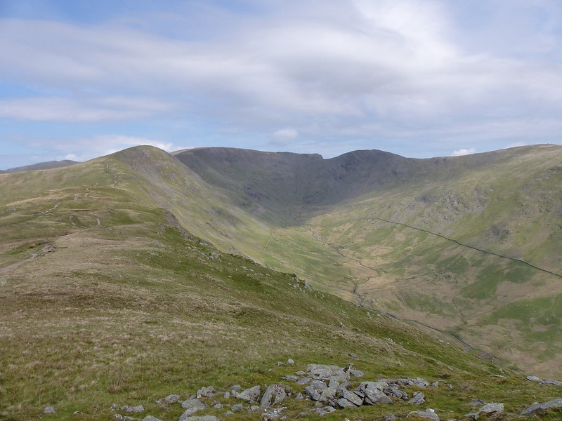
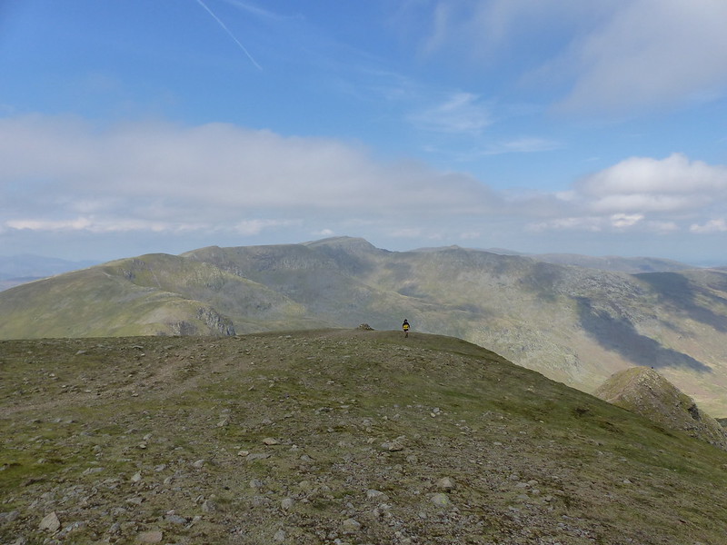
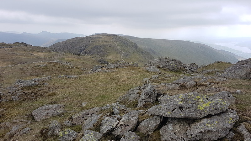
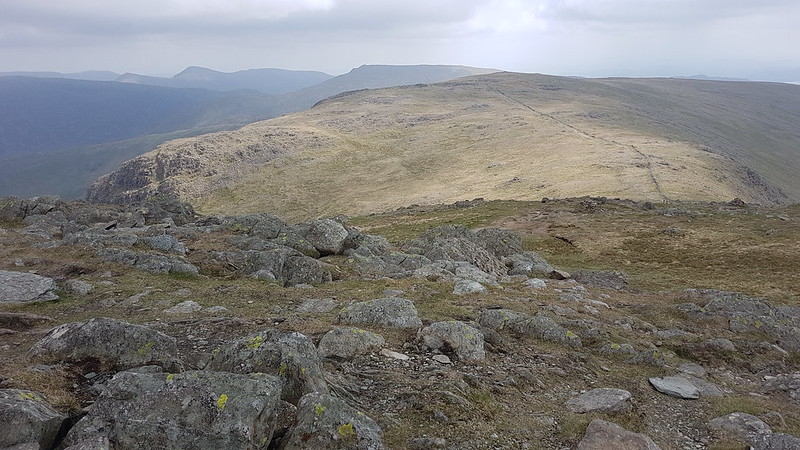
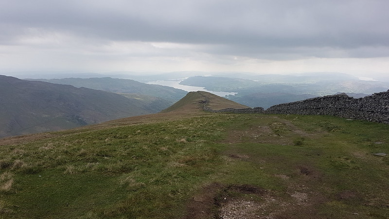
Stops: yes, I realise that I can be a bit obsessed with my hot cordial breaks. One of the ironies of this game is that the best bits of a day’s walking are often the bits when you aren’t walking. So: found a nice spot on Rydal Fell, looking up towards Great Rigg and Fairfield; then a not very sheltered, rocky perch on Fairfield which at least had good views; and then, just below the top of High Pike, a little hollow which had some protection from the wind, but also sun and a cracking view.

20220508_095055
The Grot and Rydal Beck Lower Falls.

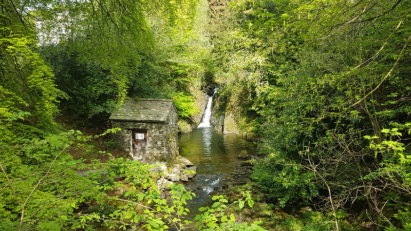
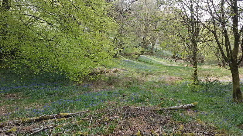
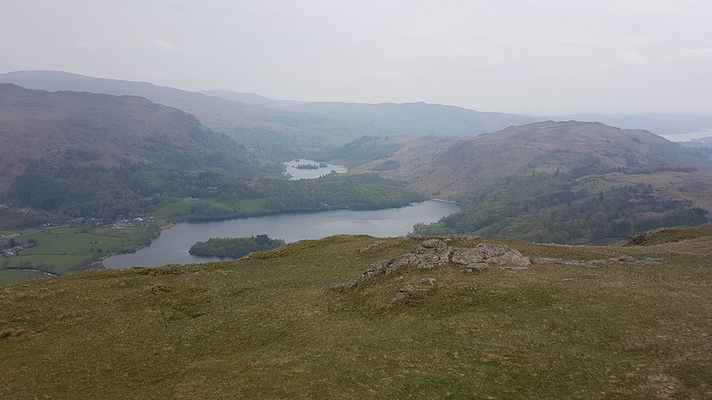
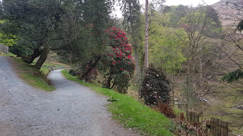
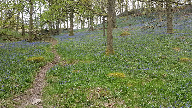
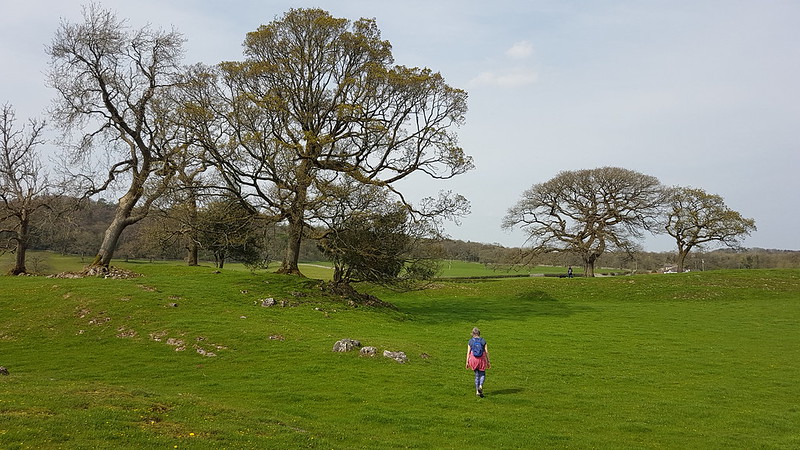
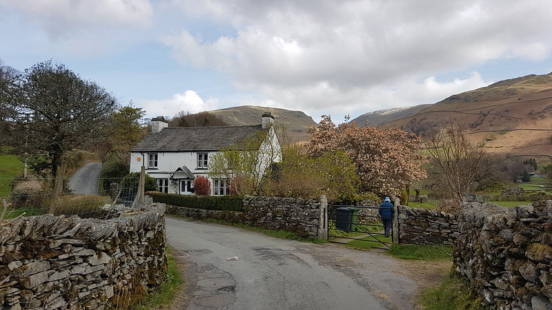
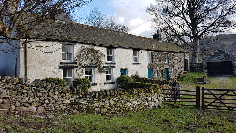
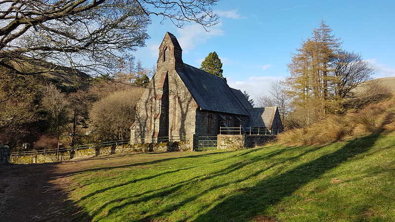
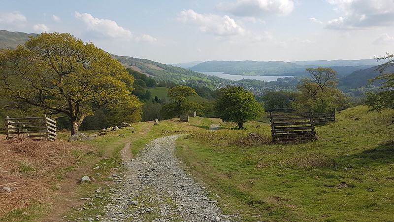
There are, of course, interesting things to be said about Rydal Hall, and its Thomas Mawson designed gardens, and The Grot. However, Rydal Hall has already featured in several posts, so I’d definitely be repeating myself.

20220508_095201
Rydal Hall.
20220508_095223
Art in the garden.

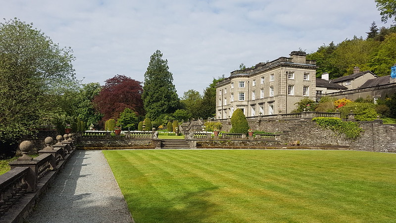
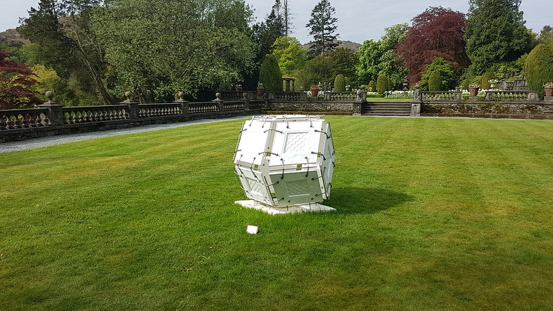
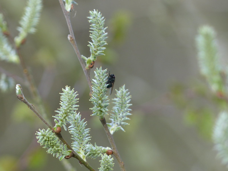
I suspect that there was lots of artwork dotted about the gardens and in the surrounding woods and if I hadn’t been in a hurry they would no doubt have given me lots more grist for my mill.

20220508_103500
From Nab Scar. Rydal Water and Grasmere. Coniston and Langdale Fells.

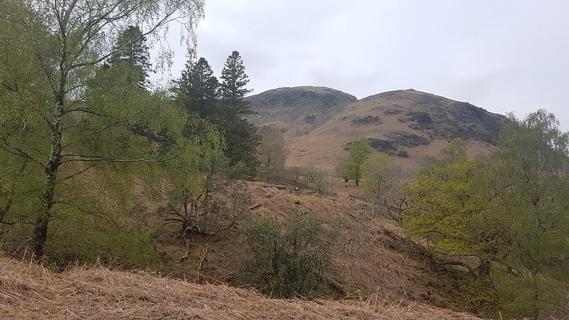
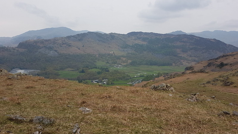
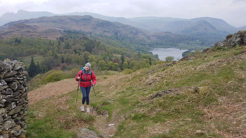
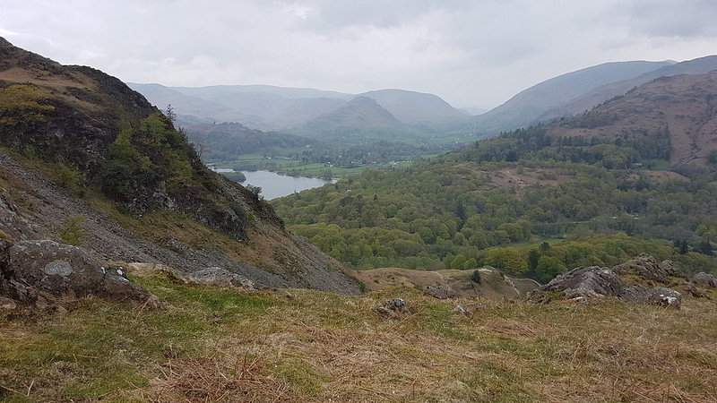
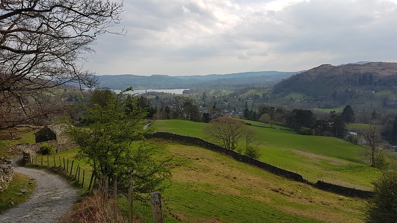
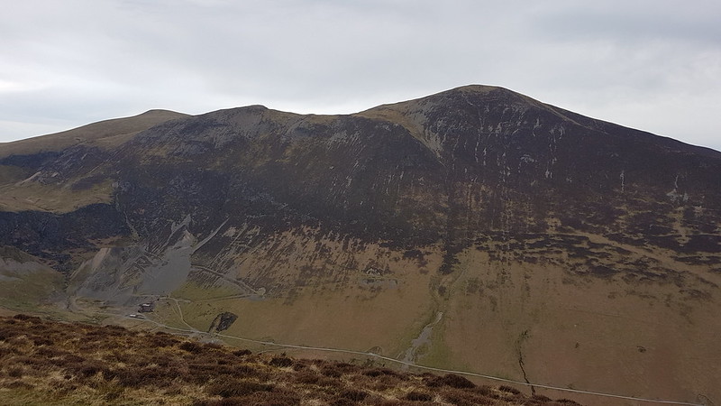
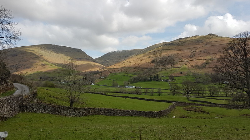
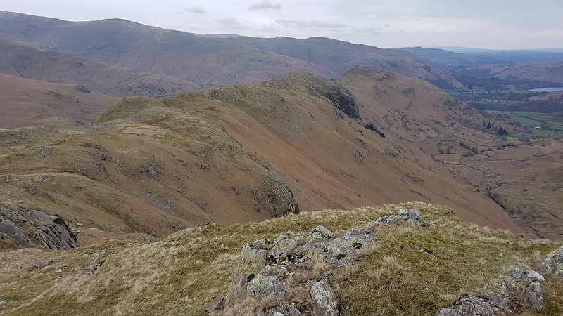
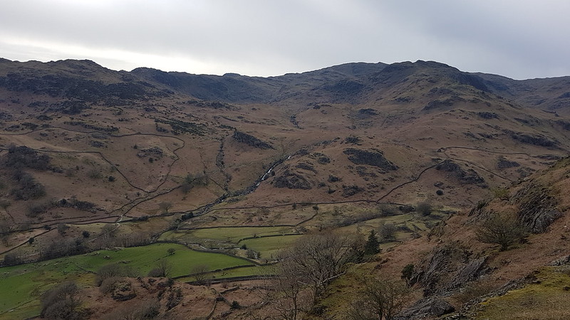
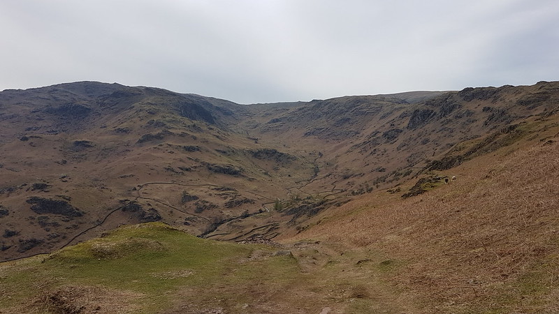
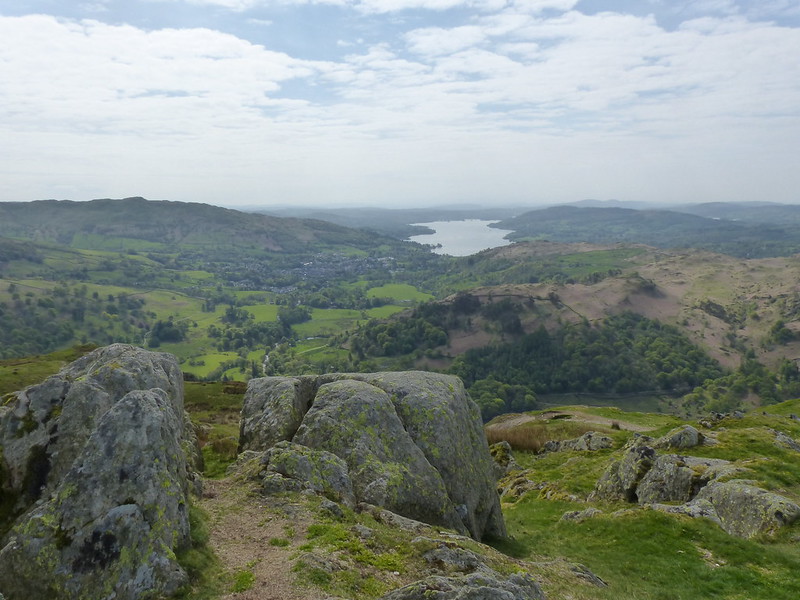
But I had the steep path on Nab Scar to climb, and I’m glad that I did, because as I climbed the views got progressively bigger and better.

20220508_104139
Rydale Water and Loughrigg – you can pick out the ‘cave’ (former mine) above the woods in the centre of the picture.

I was talking to a colleague recently about, amongst other things, my recent spate of Wainwright related activity, and my currently-on-hold exploration of the Lune Catchment area and about the fact that the lack of a protracted warm spell had meant that I hadn’t been out swimming as yet this spring (I have since).

P1340748
Wansfell Pike and Windermere from Nab Scar.

Which prompted N to tell me that this summer she plans to cycle between the Lakes, in a single trip over three days, and swim in each one. I was very taken with this idea, and have frequently found myself drawn back to thinking about the logistics of such a trip and about a potential walking route which would visit each of the lakes.

P1340749
Coniston Fells, Langdale Fells, Loughrigg, Silver How and Grasmere, from Nab Scar.

Now, I have a bit of a book buying habit, and books accrue in our house at a rate far exceeding my capacity to read them. This applies to quite a wide variety of books, but is particularly true of books about walking and especially so of books about walking in the Lake District. So, could I find, amongst all the neglected tomes, a book about a route which takes in all of the Lakes?

P1340750
The ridge ahead: Heron Pike from Nab Scar.

Of course I could. In fact, so far I’ve found two.

P1340751
The ridge ahead: Rydal Fell, Great Rigg, Fairfield, Hart Crag and Dove Crag from Heron Pike.

‘The Ancient Ways of Lakeland’ by Richard Sale and Arthur Lees, describes just such a route. It has the subtitle ‘A circular route for walkers’. Marvellous. Except it isn’t. It’s a circular route with little diversions, heading off to take in awkward outliers like Bassenthwaite Lake, Crummock Water, Loweswater, Grasmere and Rydal Water. And since the route is broken down into sections, each of which has an alternative return route, you could argue that it gives two different possible circuits around the Lakes.

P1340753
The ridge ahead: Great Rigg, Fairfield and Hart Crag from Rydal Fell.

Meanwhile Ronald Turnbull’s ‘Big Days in Lakeland’ has a chapter on a walk which visits some of the Lakes. He gets around the Bassenthwaite problem, by just omitting it. Likewise Brother’s Water (which isn’t on Sale and Lees route either). This being Ronald Turnbull (of ‘The Book of the Bivvy’ fame) there are some eccentricities. He has the brilliant idea of combining the walk with a trip on the Lake Steamers, wherever they are available. But then describes walking the route in February when the only boat running is the ferry across Windermere. His low-level route takes in Levers Hawse. And Coledale Hause. Oh, and Helvellyn and Striding Edge.

P1340755
Looking back: Heron Pike and the Coniston Fells from Rydal Fell.

He’s made of sterner stuff than me. I’m not sure I could cope with winter bivvies. But I do like the look of his route (or substantial bits of it anyway). I’ve stored that idea away for future reference and shall probably enjoy thinking about it from time to time.

P1340757
The ridge ahead: Great Rigg, Fairfield, Hart Crag, Dove Crag.

Of course, I’d want to devise my own route. I think I would want to include some of my favourite tarns too. Since you’re not supposed to swim in Thirlmere, you could substitute Harrop Tarn. Likewise Small Water for Haweswater. But what about Ennerdale Water?

20220508_122845
Looking back to Rydal Fell and Heron Pike. Windermere, Esthwaite Water, Coniston Water and Grasmere all in view.

I have a few of these ideas for long walks, or exploratory projects mentally filed away.

P1340760
From Fairfield: Cofa Pike and St. Sunday Crag.

Of course, I haven’t finished the Wainwright’s yet, although I’m making good progress. (Just don’t mention the Western Fells). And I ran out of steam a bit with the Birketts. And the Lune Catchment project was doomed to failure from the off, since how can you possibly track down all of the rills and trickles which drain a water-shed?

P1340763
From Fairfield: Dollywaggon Pike, Nethermost Pike, Helvellyn and Striding Edge.

But frankly, it’s the anticipation as much as anything which keeps my happy.

20220508_133812
The ridge ahead: Hart Crag.

The worrying prospect with the Wainwrights is that sometime next year, or perhaps the year after, I will actually finish and then I shall be needing a fresh idea to give me impetus.

20220508_133933
Looking back to Heron Pike and Great Rigg.

Turnbull suggests a slow version of bagging the Wainwrights: only counting the ones you’ve slept the night on. I’ve camped on Tarn Crag (the Longsleddale one) and on Black Combe (but that’s only an Outlying Fell). I bivvied on Bowfell, with Andy, many, many moons ago. And, more recently, on Skiddaw and on Latrigg. (The latter so recently that it hasn’t appeared on the blog yet. Next post I think.)

20220508_134001
A panorama from much the same spot.

So, on that basis, four down and two hundred and ten to go. Might take me a while!

20220508_135656
Dove Crag from Hart Crag.

Then there’s all the Tarns to bag – using either the Nuttall’s excellent guides or the venerable Heaton Cooper one. Or both. Could make that a slow affair too by swimming in each of them before it counts.

20220508_143102
The long broad descent ridge.

So, plenty still to go at. A cheery thought!

20220508_143532
Gradually narrows! High Pike and Windermere.

In the meantime, I shall continue to enjoy the straightforward version of just visiting each of the Wainwrights, without any stipulation about sleeping on, parascending from, skiing on a single ski down, taking a geological sample of….each summit.

20220508_145034
Low Pike and Windermere from High Pike.
20220508_155057
Scandale from Brock Crags. Little Hart Crag on the horizon.

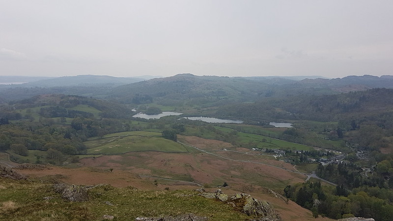
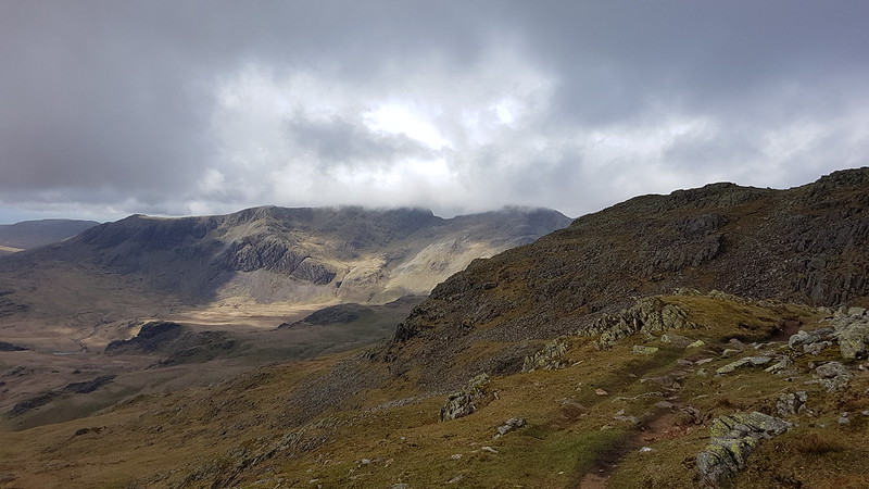
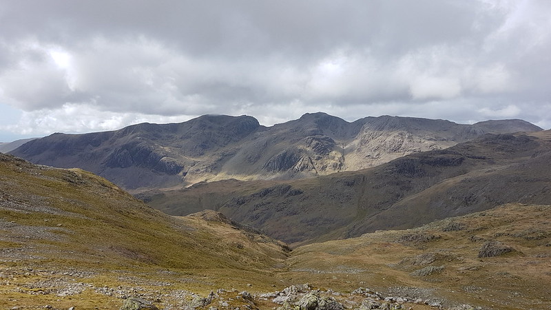
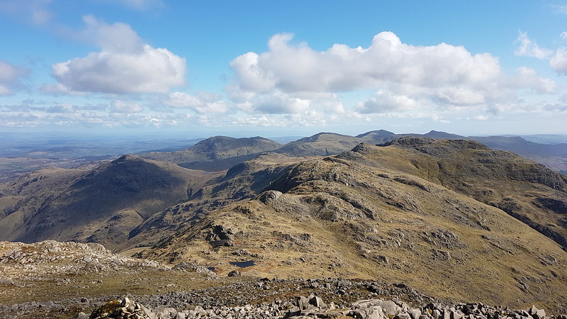
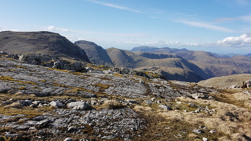
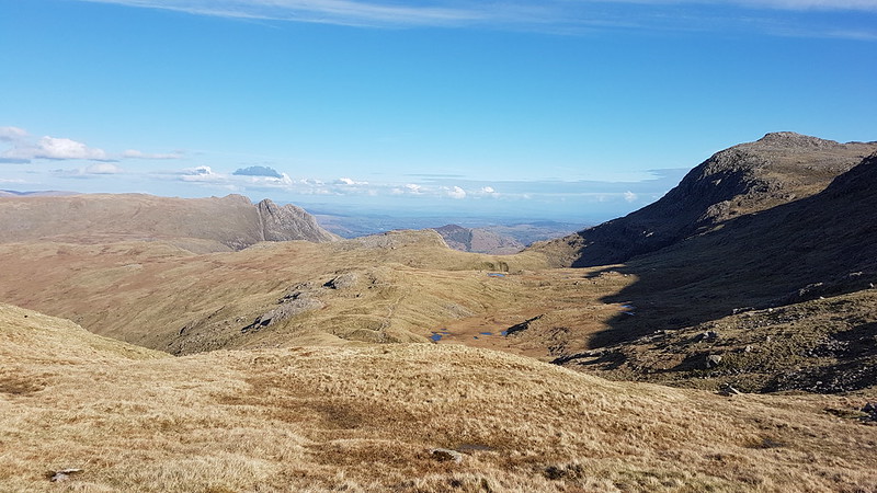
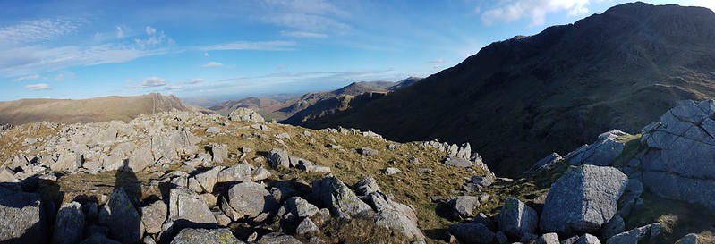
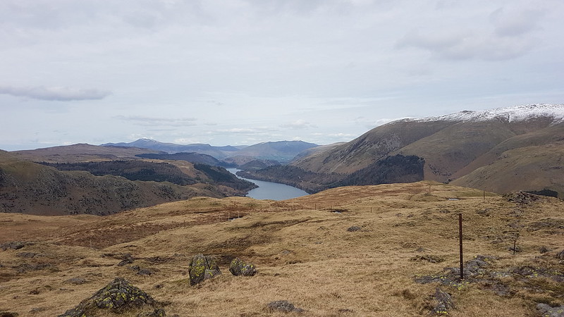
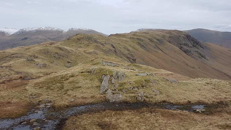
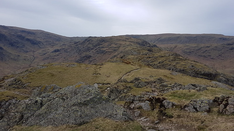
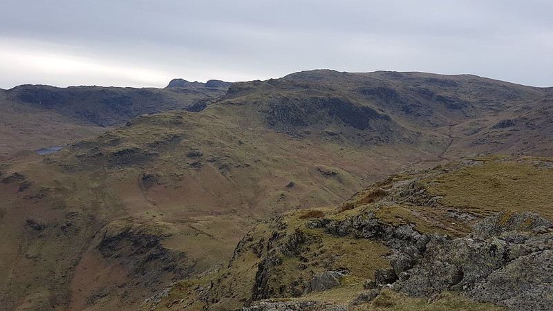
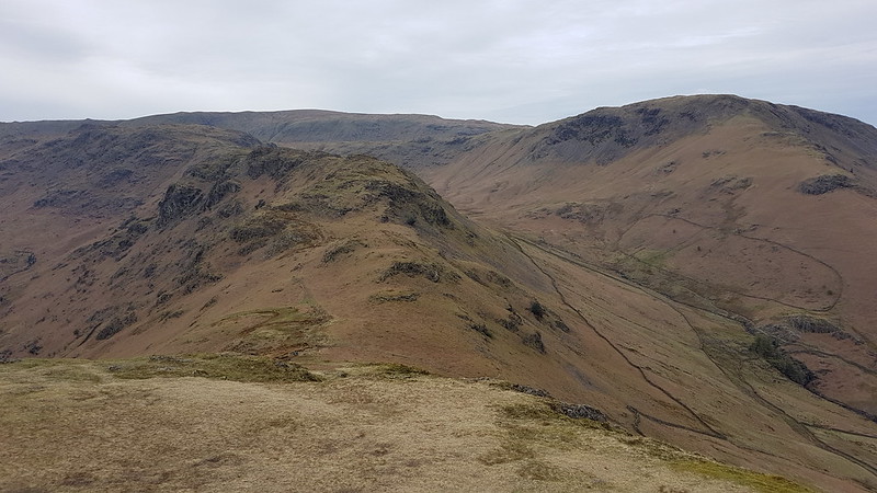
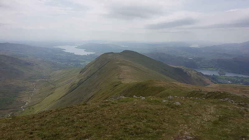
One part of that process which I’m really enjoying is seeing fells from several different directions in relatively quick succession: “Oh look – there’s Little Hart Crag again. I was near there just a couple of weeks ago.” In the past, when I’ve been in the southern Lakes at least, I’ve been on the lookout for views of Arnside Knott or Clougha Pike. Now, I’m keen to find Lingmoor, or Grasmoor, or Harrison Stickle, or Helm Crag etc in the view because I was on that summit only recently.

20220508_160700
Windermere and Ambleside from Low Sweden Coppice.

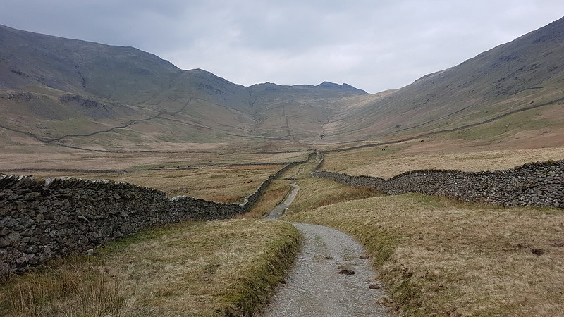
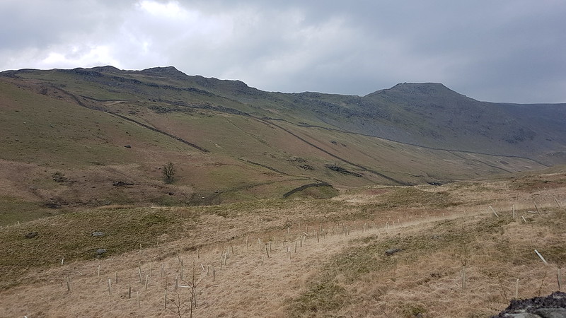
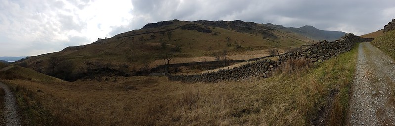
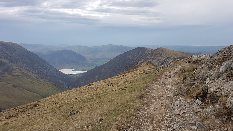
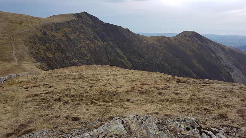
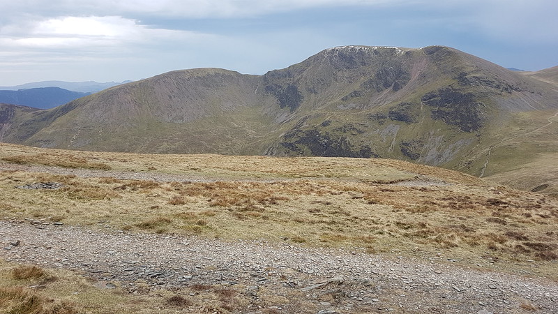
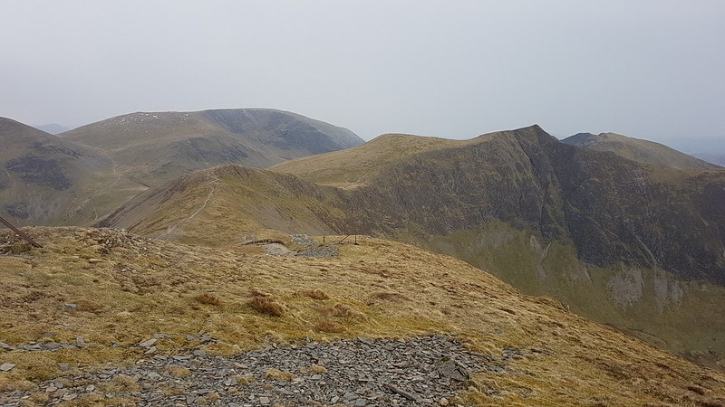
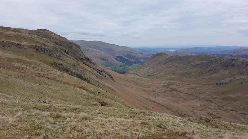
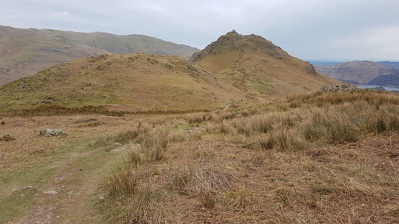
Oh, and the Fairfield Horseshoe? Highly enjoyable.

So, finally, some hike stats: MapMyWalk gives 11 miles and 960m of ascent. However, you can see from the straight line most of the way down from High Pike, that I forgot to restart the app after pausing it for a stop. Last time out it gave 14 miles and 957m of ascent. Can’t fault the consistency where the ascent is concerned! That last trip was in very different conditions, and I walked it widdershins, anti-clockwise, whereas I tackled it in the opposite direction this time.

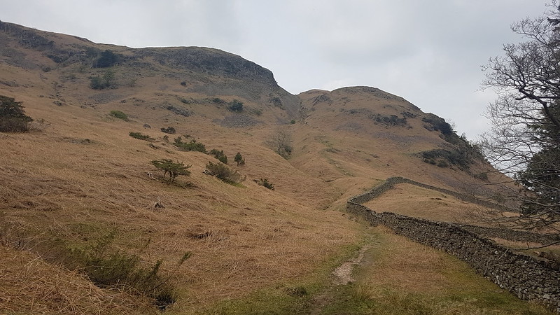
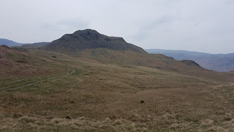
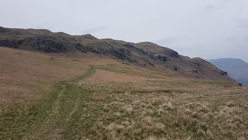
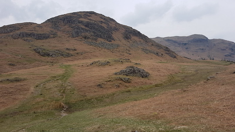
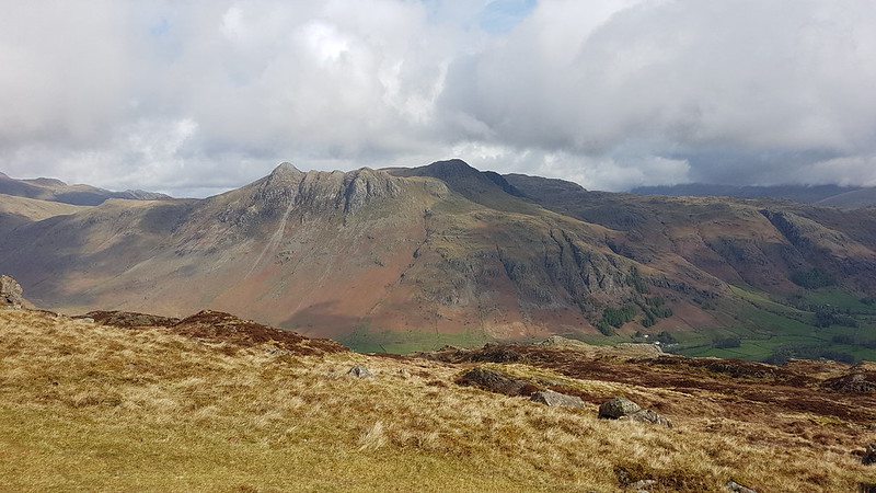
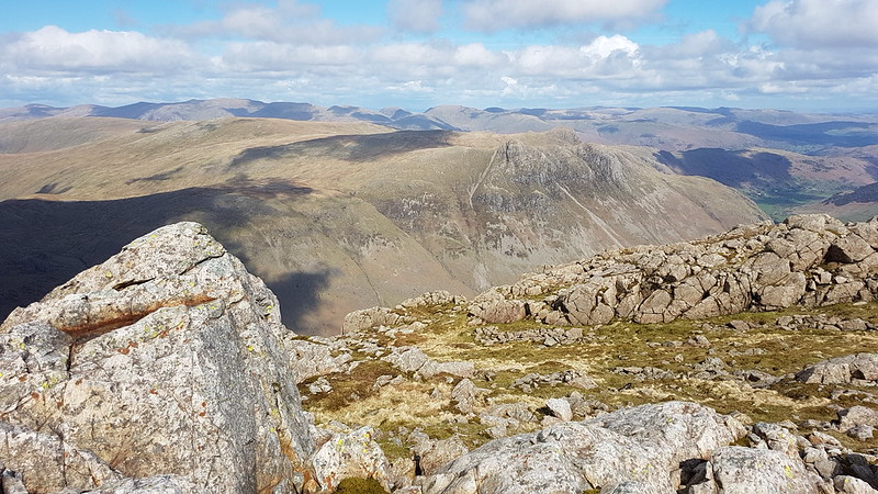
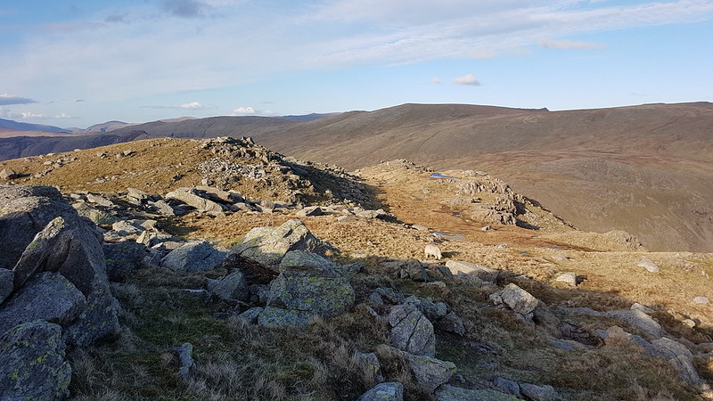
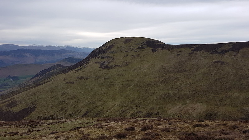
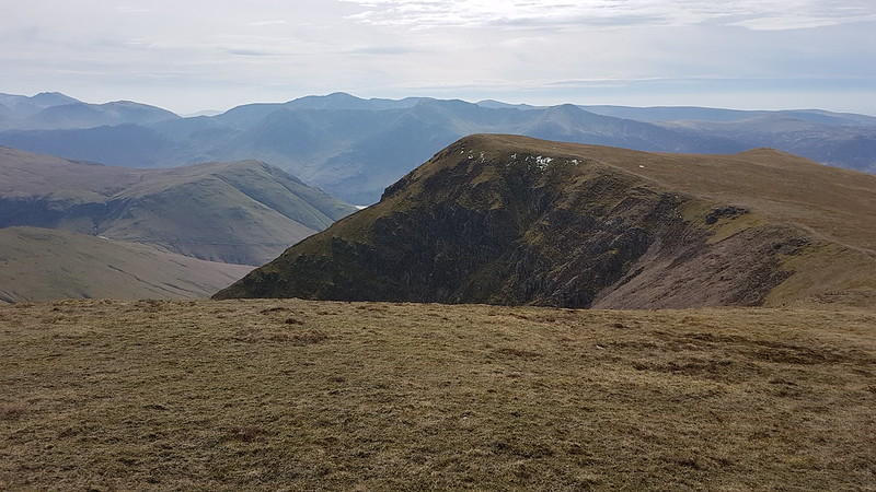
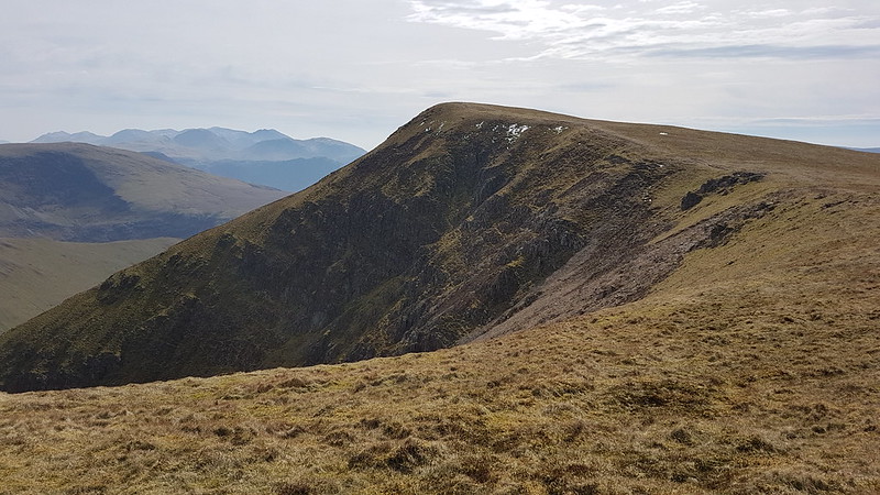
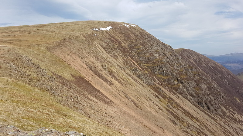
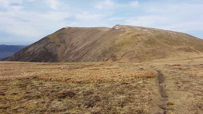
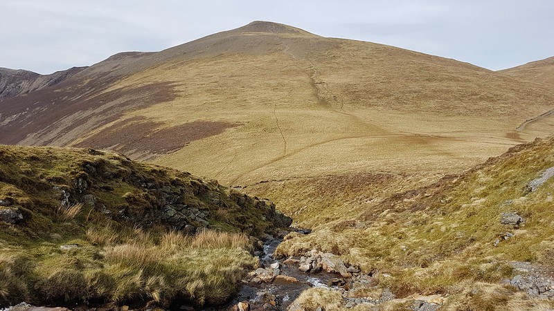
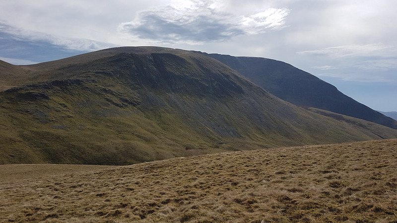
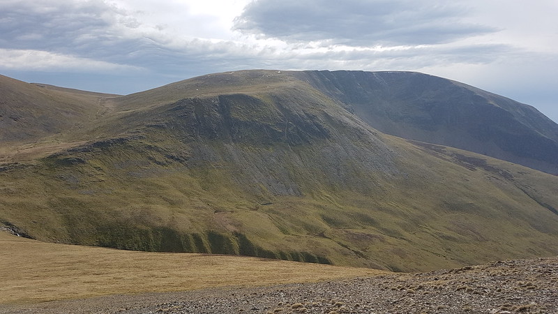
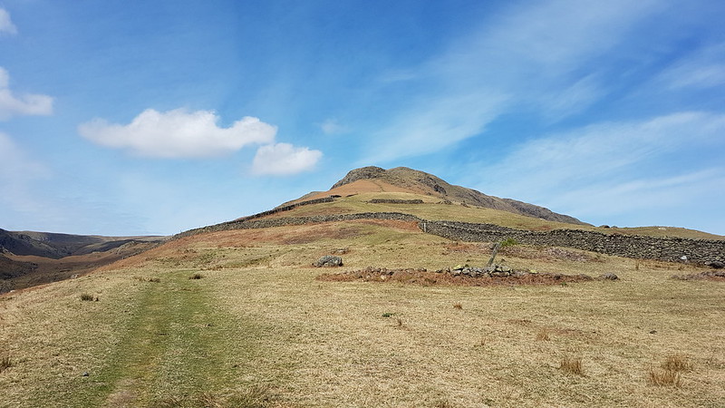
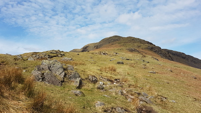
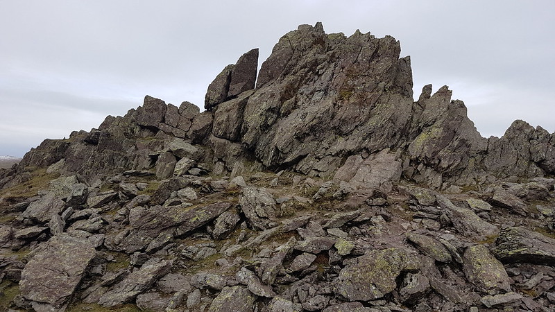
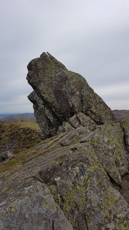
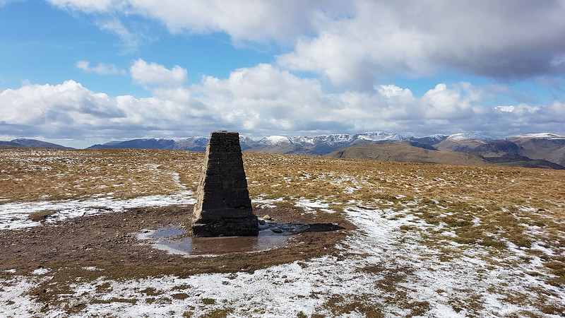
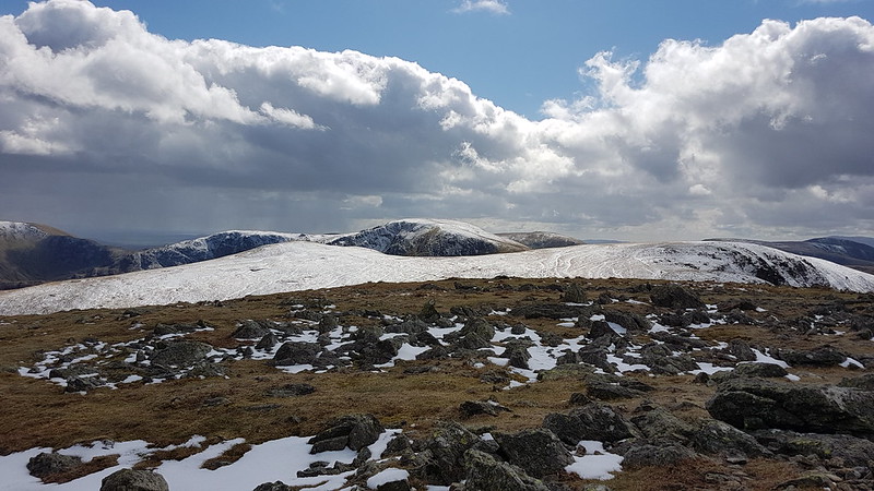
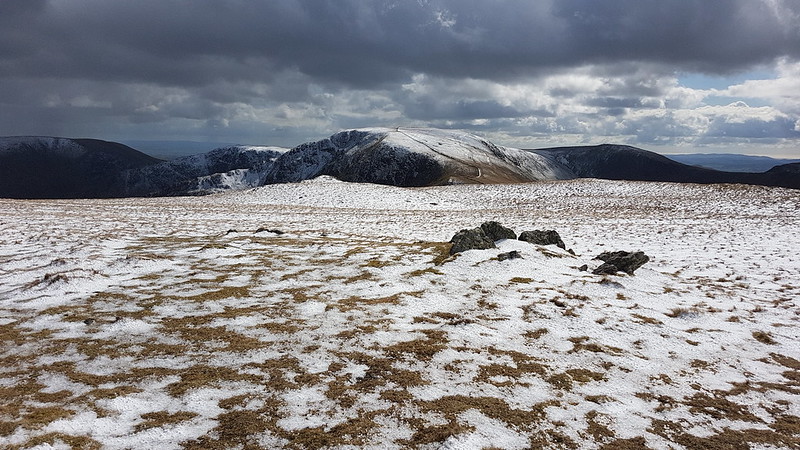
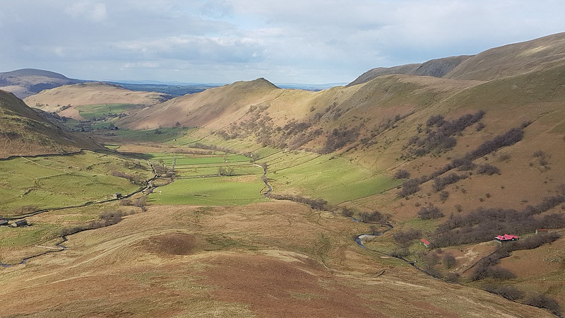
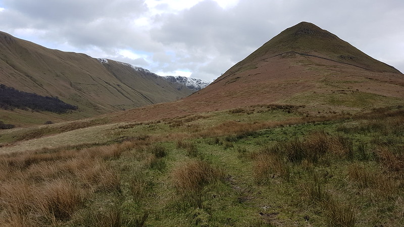
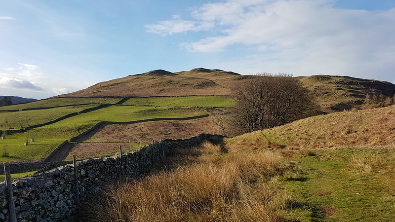
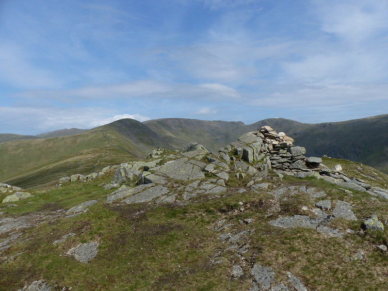
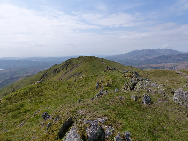
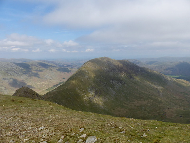
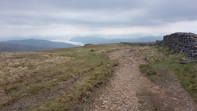
Wainwrights: Nab Scar, Great Rigg, Fairfield, Hart Crag, Dove Crag, High Pike, Low Pike.

Birketts: the same with the addition of Rydal Fell.

Fairfield Horseshoe with Various Digressions

Silver How and Loughrigg

20220430_112709

A few years ago*, TBH and I had a spring wander around the Grasmere area which finished along Loughrigg Terrace. The slopes below the path were clothed in bluebells, the scent was heavenly, and TBH has been very keen to repeat the experience for a while now.

(*I checked. It was eleven years! Where did the time go?)

The bluebells had been out around home for a week or two at least, but my gut feeling was that we were a little early in the season, it being the last day in April. But, once TBH has conceived an idea, it’s hard to deflect her from her course.

We weren’t early in the day, I can’t remember now what the hold-up was, but I was concerned about finding parking on a sunny Bank Holiday Saturday. I vowed that we would park in the first convenient spot that we found, which turned out to be the White Moss car park between Rydal Water and Grasmere. There were loads of spaces there, hardly surprisingly, since, operated as it is by messers Teach, Morgan and Kidd we were obliged to leave a kidney each to cover the cost of a few hours parking.

Anyway, as you can see in the photo above, we’d barely left the carpark before my misgivings were waylaid – the bluebells were out in all their glory.

20220430_112932
River Rothay.
20220430_113447
Grasmere, looking toward Helm Crag.
20220430_114647
Grasmere – Seat Sandal and Stone Arthur rising beyond.
20220430_115901
Looking across Grasmere to Stone Arthur, Great Rigg and Heron Pike.

We walked along the western shore of Grasmere as far as the footpath allowed and then along the minor road, looking for the path which climbs through Wyke Plantation. Of course, I’d managed to manipulate TBH’s desire for a walk in the Grasmere area into a convenient opportunity to tick-off a couple more Wainwrights.

20220430_122754
Silver How from Wyke Plantation.
20220430_123609
Silver How from just beyond Wyke Plantation.
20220430_124354
Grasmere and Rydal Water.
20220430_124358
Loughrigg and Spedding Crag.

When we’d done most of the climbing onto Silver How, and reached the little col seen from below a couple of photos above, I felt that we’d probably got the best shelter we were going to find, and that a lunch stop was in order. I suggested this to TBH, but she was very much against the idea.

“No. I’m intermittent fasting. Only water before three o’clock.”

20220430_130236
Steel Fell, Helm Crag, Helvellyn etc, Seat Sandal, Fairfield, Great Rigg.

This was news to me, but I reckoned I could manage. So, press on till three o’clock then.

20220430_131140
TBH approaching the top of Silver How. Lingmoor, Crinkle Crags, Bowfell and the Langdale Pikes behind.
20220430_131149
Grasmere, Rydal Water, Loughrigg and a glimpse of Windermere.
20220430_134702
Loughrigg, Spedding Crag and Elter Water.

Our route would take us along the ridge over Spedding Crag and then up Loughrigg.

20220430_132615
Lang How. Quite imposing. A Birkett, but not a Wainwright.
20220430_135736
Looking back to Silver How.
20220430_135957
Lingmoor.
20220430_141009
Elter Water. Black Fell beyond and Holme Fell on the right of the photo.

I’m always surprised, when I see it from above, by just how big Elter Water is. The path beside the lake only allows partial glimpses and you can never get a feel for its proper size.

20220430_141029
On Spedding Crag. Langdale Pikes and Silver How behind.
20220430_142038
Spedding Crag and Silver How.
20220430_142707
Loughrigg and a partial glimpse of Loughrigg Tarn.
20220430_145239
High Close Estate.

We walked through the grounds of High Close Youth Hostel. The grounds belong to the National Trust, are open to the public and well worth a look. I’m afraid the photo just doesn’t do them justice. We stayed at High Close for a very wet weekend a mere seven years ago.

The first part of the ascent of Loughrigg was unnecessarily unpleasant, because I insisted in believing the OS map. The path shown doesn’t exist on the ground, but there is a good track setting off from the road junction further north.

20220430_151414
TBH climbing Loughrigg. It was trying to rain.
20220430_152534
And again. Langdale Pikes, Silver How and Grasmere in the backdrop.
20220430_152803
Black Fell, Holme Fell and Elter Water.
20220430_153405
Lingmoor and Great Langdale. Clouds looking a bit ominous.
20220430_153751
Loughrigg summit. Langdale pikes and Lingmoor behind.
20220430_153740
Wansfell Pike and windermere.
20220430_154635
Ewe Crag, Rydal Water, Heron Crag and Nab Scar.

I liked the look of the path which dropped down beside Ewe Crag. I didn’t think that I’d been this way before and I thought the route would offer plenty of shelter for a long overdue lunch stop. It was past three o’clock so no more impediment, surely.

20220430_155426
Ewe Crag, looking towards Helm Crag and Dunmail Raise.

I found a lovely, comfy looking spot, dug my lunch, my flask and my sitmat out of my rucksack. It started to rain. TBH was unmoved by my protestations of imminent starvation: you simply can’t stop when it’s raining, apparently, even if you are hungry.

All the way down the slopes of Loughrigg we could see dense patches of bluebell leaves, but the flowers weren’t out yet, so I was partially right about that after all. Next year we shall have to try a couple of weeks later. That way we might spot some Bog Bean and some Butterwort flowering too. At least the woods were full of bluebells when we got back to them…

20220430_164139
Bluebells in the woods.

The following day we were in Eccles for the Colts final against Stockport. It was a close game, which made this spectator tense, but the boys prevailed in the end 15 – 7. (And yes, Eccles is a lot, lot closer to Stockport than it is to Kirkby).

My career as a sports photographer is not destined to be a glorious affair.

20220501_140832
Here’s B lifting his captain in the lineout. In the 16 shirt. With his back to us.
20220501_140856
And here he is in a kick-chase. Obscured by the flag.

I have other photos – of him in a scrum, or making a tackle, or buried in a ruck. Generally, it’s very hard to tell that it is B in the photos. Oh well, it was a very happy day out.

I don’t have a map of the route, MapMyWalk started to play up again. This seems to happen from time to time. Eventually, I end up uninstalling it and then reinstalling it and it’ll work fine again. For a while.

Anyway, two Wainwrights – Silver How and Loughrigg. Not all that far. Not all that much up and down. How’s that?

Silver How and Loughrigg

A Langdale Round

20220418_091319
White Stones – The Band. Crinkle Crags and Bowfell hidden in the cloud, but Rossett Pike is clear on the right of the photo.

Easter Monday. The forecast was a bit mixed, but generally for improvement throughout the day. I had big plans, so I’d set off early and was parked up in the National Trust carpark by the Old Dungeon Ghyll Hotel while there was still plenty of room.

20220418_091323
Pike of Blisco.
20220418_091340
Side Pike.

As I walked up the road towards Blea Tarn the cloud lifted off the Langdale Pikes, but it was cold and pretty gloomy.

20220418_092800
Langdale Pikes.

The Langdale Pikes would dominate the view for much of the early part of the walk, and then again towards the end. I took a lot of photographs of the iconic crags.

20220418_092806
Redacre Gill.

My route up Pike O’Blisco curls right behind the stand of trees and then follows the gill into the obvious deep cleft right of centre.

I’ve been thinking a lot recently about the incredible standard of the paths in the Lakes. This was an easy one to follow at a lovely gradient. somebody did a very fine job of making it.

It was spitting with rain now and again and my cag went on and off a few times.

20220418_095652
A well constructed path.
20220418_095835
Kettle Crag, Langale Pikes, Side Pike.

I seem to have stopped taking panorama shots for a while, without really deciding to, but I took loads on this walk. If you click on them, or on any of the other pictures for that matter, you’ll see a larger version on Flickr.

20220418_100532
Side Pike and Lingmoor.
20220418_100733
Side-streams, in often quite deep ravines, with lots of little waterfalls, abounded. This area would definitely repay further exploration.
20220418_102942
Pike O’Blisco.

As I reached the top of the gully and the angle levelled off, the weather turned temporarily a bit grim. I have several photos obviously taken in the rain. Fortunately, it was short-lived, and when the sun appeared once again, it had wet rocks to sparkle on.

20220418_103944
The Langdale Pikes again!
20220418_104633
Lingmoor with Fairfield Horseshoe beyond and a glimpse of Windermere.
20220418_111305
Pike O’Blisco summit.

The wind was blowing from the west, so those large slabs just below the summit offered superb shelter. I settled down, leaning against one of them, poured myself a hot cordial and video-called my Dad to wish him a happy birthday.

20220418_111543
Langdale Pikes and a rainbow.

It was soon raining again, but I had a well-sheltered spot and it didn’t seem to matter too much somehow.

20220418_111634
Rainbow panorama.
20220418_114717
Red Tarn and Cold Pike.

Cold Pike was my next target. I decided to take the path which angles up towards the head of Browney Gill, but then strike left when the angle eased.

20220418_120621
Red Tarn again. Wet Side Edge behind, which is heading up to Great Carrs, hidden in the cloud.
20220418_122943
Looking back to Pike O’Blisco. The broken crags on the left look like they might give a good scrambling route.
20220418_124352
Pike O’Blisco disappearing into the cloud, from near the top of Cold Pike.

I found another sheltered spot on Cold Pike for another quick stop. The clouds blew in once again. The weather was changing very quickly.

20220418_124609
Pike O’Blisco from Cold Pike. The Helvellyn and Fairfield range behind.
20220418_130216
Looking back to Cold Pike.
20220418_131815
Pike O’Blisco and Cold Pike. Wetherlam behind.
20220418_131844
Panorama from the same spot.
20220418_133040
The many tarns of Stonesty Pike. The Duddon Estuary, Harter Fell, Whitfell and Black Combe behind.
20220418_133920
Crinkle Crags.
20220418_134052
Upper Eskdale and the Scafells.
20220418_134148
The ‘Bad Step’. There were a couple of guys standing beneath it, having quite a lengthy discussion before deciding to follow the path around to the left. I went round too. I’ve been both up and down that way in the past and I don’t remember it being all that difficult.
20220418_135318
Bowfell just about out of the cloud.
20220418_135611
Lingmoor and Pike O’Blisco. Windermere beyond.
20220418_135616
The Duddon Valley and Harter Fell.
20220418_135755
Langdale, Lingmoor and Pike o’Blisco.
20220418_135848
Panorama – Scafells, Bowfell, Langdale Pikes, Langdale, Pike O’Blisco, Windermere, Coniston Fells.

There are a lot of ups and downs on Crinkle Crags. The scenery is fantastically rocky, but it does mean you really have to concentrate over where you are putting your feet to avoid taking a tumble.

20220418_142358
Scafells.

If the Langdale Pikes had kept drawing my eye during the early part of the walk, it was now Scafell and Scafell Pike which were hogging my attention.

The weather hadn’t been too bad, but it was getting bluer and brighter…

20220418_144228
Scafells again.
20220418_145114
Bowfell.
20220418_145747
Scafells and Bowfell panorama.
20220418_151807
Pike O’Blisco and Wetherlam.
20220418_152355
Pike O’Blisco, Crinkle Crags and Three Tarns.
20220418_152854
Langdale Pikes from Bowfell. Helvellyn and Fairfield range behind.
20220418_154217
Esk Pike, Grasmoor, Allen Crags, Glaramara, Skiddaw, Blencathra.
20220418_154431
Scafells.
20220418_154619
Langdale Pikes, Langdale, Lingmoor, Windermere.
20220418_155955
Pike O’Blisco, Wetherlam, Coniston Old Man, Crinkle Crags, Dow Crag.
20220418_161954
Esk Pike.

I know that the geology of the Lake District is quite complex, with some igneous rocks, lots of slate, periods when the area was underwater and sedimentary rocks were laid down, three separate periods of orogeny lifting the hills, glaciation etc – but I don’t often feel like I know what I’m looking at. The rocks on this walk seemed to change quite often.This large boulder, in Ore Gap had lots of parallel striations which make me think it must be sedimentary. And yet we’re in the central part of the hills, close to Borrowdale, where I thought the rock would be volcanic?

20220418_162007
Sedimentary, my dear Watson?

I have a book on the shelf in front of me, ‘Lakeland Rocky Rambles’, which I’ve never really dipped in to – hmm, could be a new project.

20220418_164633
Dale Head, Maiden Moor, Allen Crag, Glaramara, Derwentwater, Skiddaw, Blencathra. (And Many more!)
20220418_164639
Looking back to Bowfell and Crinkle Crags from Esk Pike.
20220418_165522
Great End, Great Gable, Green Gable, Grasmoor and more of the North-western fells.
20220418_171745
Langdale Pikes,Rossett Pike, Bowfell.
20220418_174946
Angle Tarn panorama.
20220418_181217
Panorama from Rossett Pike.
20220418_181515
Langdale Pikes, Langdale and Lingmoor from just below the summit of Rossett Pike.
20220418_181510
Buck Pike and Black Pike – my descent route.
20220418_181539
Another panorama.

I think it’s 11 years since I was last on Rossett Pike. Back then, I didn’t get too much of a view, but I did have my one and only (so far) close encounter with a Dotterel. That was also towards the end of a walk, and thinking back, I’m pretty sure that whilst I may not be particularly fit, I am at least fitter now than I was then.

20220418_182433
Buck Pike.
20220418_183910
Pike O’Stickle and Mickleden.

I picked up a path which skirted below Black Crag and kept me in the sun for a bit longer. It was a great way down, never too steep, and deposited me on the path down from Stake Pass which has superb zig-zags. Once down in the valley I followed two walkers, one of whom was barefoot. I met another barefoot walker a couple of weeks later. I quite like the idea, but I think I would probably stub my toes roughly every five minutes.

I wasn’t quite dark when I arrived back at the car, but it wasn’t far off.

Around the head of Langdale.

Some hike stats:

MapMyWalk gives a little over 13 miles (although once again, confusingly, the numbers on the map make it look closer to 25 km i.e. well over 15 miles. Who knows.) The app also suggests 1162m of ascent, which is definitely an underestimate. For a slightly different route, over exactly the same hills, Walking Englishman gives 12 miles and 1466m of ascent. I think the truth, for the climbing at least, lies somewhere between those two figures. The fact that they differ by around a 1000 feet is a bit shicking!

It was far enough, at least, to leave me feeling pleasantly tired by the end.

Despite all the effort, there are ‘only’ six Wainwrights, to wit: Pike O’Blisco, Cold Pike, Crinkle Crags, Bowfell, Esk Pike and Rossett Pike.

There’s lots more Birketts because all of the Crinkles are on the list. And some of the bobbles on the ridge down from Rossett Pike – but I wasn’t very careful about which of either of those I actually visited, so I shan’t list them on this occasion.

Leaving aside all of the stats, it was an absolutely superb day which will live very long in the memory. All day long I was thinking that this area is definitely the best bit of the Lakes. But I was thinking much the same thing when I did the Coledale Horseshoe, so I think all we can conclude is that I’m fickle!

A Langdale Round

Easter Saturday Summerhouse Hill

P1340743
Peacock Butterfly

Easter Sunday brought some warm weather, warm enough for butterflies anyway!

TBH and I had a local wander, around Hawes Water, across Yealand Allotment, over Cringlebarrow to Summer House Hill and back via Leighton Moss.

P1340745
Comma and photo-bombing Shield Bug, which I’ve only just noticed.
20220417_121427
Violets and old Beech leaves.
20220417_123438
A field on Cringlebarrow completely enclosed by woods.
20220417_124724
The foundations are all that remains of the Summer House on Summer House Hill.
20220417_124958
Three of the Summer House Hill Standing Stones.

I’ve always been a bit sceptical about the Standing Stones on Summer House Hill, there are only four of them after all, which doesn’t really seem to add up to a ‘circle’ as such. I should have done my research more thoroughly! The Historic England website reveals that it is a scheduled monument, and that a 1930s survey found ‘socket-holes’ where 13 additional stones were originally sited and signs of a shallow ditch which ran around the circle. I wonder whether there’s a connection to the large walls on nearby Warton Crag, now thought to be Bronze Age?

20220417_125106
A new bench on Summer House Hill – another monument of sorts.

The new bench is one of several which overlook….

20220417_125123
Leighton Hall, Leighton Moss, Arnside Knott and Grange.
20220417_151142
Heading home.
Easter Saturday Summerhouse Hill

Red Screes, Middle Dodd and Scandale

20220416_113717
Roundhill Farm and the start of the Red screes ridge, taken from above Stock Ghyll.

Easter Saturday. I’d been thinking that when I’ve climbed Red Screes in the past, I’ve almost always done it from the top of the Kirkstone Pass. What’s-more, I’d never climbed it via the long ridge which extends southwards towards Ambleside.

I’d dropped B off for a shift at Brockholes again, which meant quite a late start, and a reasonably early finish, so Ambleside, close to Brockholes, and with many parking options, seemed like a sensible place to begin my walk. The forecast had suggested low cloud initially, soon clearing, and I was quite surprised to see that the surrounding hills were still mostly enveloped.

There’s a track out of Ambleside which heads towards the Kirkstone and I took it as far as the farm house at Low Grove, where I dropped a little to cross Stock Ghyll and then through another farmyard at Roundhill Farm before walking a little way up the Kirkstone Road to find the path onto the ridge.

The ridge ahead was still cloaked in cloud, but at least there were views of Ambleside and Windermere opening up behind…

20220416_121453
20220416_121619
Loughrigg, Rydal Water and Nab Scar.
20220416_121626
The path ahead.
20220416_123418
Wansfell Pike and Windermere.
20220416_124409
Flesh Crags.

It’s a long steady plod up the ridge, never very steep. Of course, it was another windy day, but nothing like as windy as many other days have been lately. The path skirted around to the left of the crags ahead and somewhere in amongst the crags I found a lovely sheltered spot for a drink, a snack and to admire the views.

20220416_124729
Brock Crags, Low Pike and High Pike on the Fairfield Horseshoe.

Whilst I sat there, the clouds continued to lift. At first the Coniston Fells appeared, then Crinkle Crags and Bowfell. Bizarrely, I could see the Scafells before the Langdale Pikes appeared. Closer to hand, most of the Fairfield Horseshoe had cleared, but it looked like Red Screes itself was stubbornly clinging on to a blanket of clouds.

20220416_130714
Coniston and Langdale Fells, Loughrigg and Rydal Water.
20220416_133734
Frogspawn.
20220416_134732
Red Screes. Taken from the vicinity of Snarker Pike (great name, I thought).
20220416_135956
Looking back to Snarker Pike.

Messers Wainwright and Birkett both decided to omit Snarker Pike from their (arbitrary) lists, but it is a Synge, with it’s magnificent six metres of prominence. Apparently there are 647 Synges in the Lake District. I think the Wainwrights and the Birketts are enough to keep me occupied for now, but I do like a list, so who knows?

20220416_141118
Looking down to the Kirkstone Inn.

I’d seen very few people on the ridge until I was almost at the top, when it suddenly seemed to get quite busy, with several groups heading down the way I had come up and also quite a few people arriving on the top from various directions at much the same time as I did.

20220416_141825
Middle Dodd. Patterdale beyond.

I’d decided to bag Middle Dodd whilst I was in the neighbourhood. Rude not to. It was a slightly strange way to do it, since I essentially descended to the top!

20220416_143739
Brothers Water and Place Fell from Middle Dodd.

There are some quite odd little hollows near to the top of Middle Dodd, where I was once again able to get out of the wind for more refreshments.

20220416_143744
Little Hart Crag and Dove Crag from Middle Dodd..
20220416_143803
Red Screes from Middle Dodd.

I’d felt pretty sure that there would be a path contouring around from Middle Dodd towards the top of the Scandale Pass, which did prove to be the case. It wasn’t a very major path, and there were odd sections of crag and bog to negotiate, but it was reasonable walking.

20220416_152233
Thack Bottom Edge, Scandale Head, Low Bakestones and Dove Crag. More great names.
20220416_152952
Little Hart Crag. Nearer to Dove Crag than to Hart Crag which has always seemed a bit odd to me.

Originally, I’d planned to walk down Scandale, because I’d been looking at it on the map and thinking that I’d never been that way before. But then, looking at the map again, it had occurred to me that I could ‘nip up’ Little Hart Crag, and then ‘nip up’ Dove Crag and come down via High Pike and Low Pike and thus turn a Two Wainwright Day (not bad) into a Six Wainwright Day (stellar). However, when I reached the top of the Scandale Pass the former option seemed much more attractive. It had turned quite grey again, the wind was howling through the pass and the thought of the substantial re-ascent onto Dove Crag was not appealing to me at all. In truth, I’m not sure that different conditions would have made any difference: my heart just wasn’t in it. And I wanted to walk down Scandale.

20220416_153338
Scandale.
20220416_162052
Looking back up Scandale to Little Hart Crag.
20220416_162322

And how was it? Well – the track took me too far from Scandale Beck for my liking. The map shows a path on the other side of the beck – I think I’ll give that a go the next time I come this way. I did enjoy the views though.

20220416_163323
Low Pike and High Pike.
20220416_163547
High Brock Crags and Low Brock Crags. I’m intrigued – I wonder how these parallel lines of crags were formed?
20220416_163553
High Pike again.
20220416_164034
Brock Crags, Low Pike, High Pike pano.
20220416_164848
High Sweden Bridge.

Around High Sweden Bridge there were loads of Primroses flowering. The sun began to break through. I took off a layer. What followed was definitely my favourite part of the day.

20220416_170124
Primroses.
20220416_170216
Wood Sorrel.
20220416_170246
Golden Saxifrage and Common Sorrel leaves.

Wood Sorrel and Common Sorrel are not related, or even in any way very similar, except their leaves both have a pleasant citrusy flavour. Since they were growing cheek by jowl in the woods here, I was able to compare – for my money, the Common Sorrel edges it, but both are very refreshing.

20220416_171751

As I came down the track, approaching the outskirts of Ambleside, a Jay dropped to the ground not far in front of me. I watched it for a while, then turned to take a photo of Loughrigg and Nab Scar again…

20220416_171842

When I turned back, the Jay was boldly displaying itself in a fallen tree. Normally such a shy bird, the Jay didn’t seem very bothered by my presence. Briefly, it was joined by a second Jay. It was very frustrating that I didn’t have my ‘birding’ camera with me. By using the digital zoom, I managed to get shots on my phone which are at least recognisably a Jay, even if they are very blurred. I was able to watch the Jay for quite some time before it eventually flew away.

20220416_172107
20220416_172337
The fallen tree.
20220416_172812
Coming down into Ambleside.

It was a bit of a shock, on reaching Ambleside, to find that the usual crowds were there, tucking into ice-creams, which seemed incongruous on what had been another cold day in the hills.

MapMyWalk gives a little over 10 miles and almost exactly 800 metres of ascent (I would that think that 700m is nearer the mark).

Red Screes, Middle Dodd and Scandale

Close to Home

P1340714
Green Hellebore.

A brief interlude from Wainwright-bagging for a throwback post from the days when I used to do local walks! The walk was short, with hardly any up and down, and all the photos, taken with my camera not my phone, are of wildflowers not mountain views.

P1340717
Green Hellebore.

I wanted to visit the largest patch of Green Hellebore I know, in Middlebarrow Wood. I was late this year in going to see them, which you can tell because the flowers already have large pea-like seed-pods protruding from them.

P1340741
Wych Elm Seeds.

I’m reasonably confident that these are Wych Elm seeds. Wych Elm seems pretty common locally. Other Elms have similar seeds, so I could be wrong, but Wych Elm grows further north than other species and is also more resilient to Dutch Elm disease.

P1340724
Wych Elm Seeds.

As a butterfly fanatic, it’s good to see these trees doing well locally because the White-letter Hairstreak is solely reliant on Elms, it’s the food-plant of the caterpillar and apparently they thrive on Wych Elms particularly.

Not that I’ve seen many White-letter Hairstreaks though, just the one in fact. They’re usually quite elusive because they tend to be high in the trees.

P1340727
Primroses.
P1340729
Colt’s-foot.
P1340732
Goat Willow – male catkins.

I’m sure I’ve read, somewhere, that you shouldn’t identify Willows just from their catkins, but I think, thanks to this very handy guide, that these photos all show Goat Willow catkins. It should be easy to check, since other willow species in Britain seem to all have thin leaves whereas Goat Willow leaves are rounded.

P1340731
Goat Willow – male catkins.

Goat Willow is a dioecious plant, with each tree having either male or female flowers. Dioecious is one of the many botanical terms I’ve learned as a consequence of writing this blog. It’s a shame that my family won’t play me at Scrabble, because that would be a handy word to have up your sleeve when you end up with a fistful of low-scoring vowels.

P1340735
Goat Willow – male catkins.
P1340737
Goat Willow – female catkins, and some sort of fly.

Goat Willow, if these are Goat Willow, is one of the species also known as Pussy Willow, because of the hairy nature of the male catkins.

Close to Home

Coledale Horseshoe

20220411_094907
Braithwaite and Skiddaw from the lower slopes of Barrow.

This as the day after my Steel Fell – Helm Crag circuit and my fourth consecutive day in the hills. It’s a long time since that happened. We have an electric car these days, and I’d driven up to Braithwaite nervously watching the charge dropping, since this was the furthest I’d been in it. I needn’t have worried.

I’d been looking at websites, this one in particular, which detail routes enabling the dedicated bagger to knock off all of the Wainwrights in no time flat. That’s where the idea for my route around Martindale came from and that’s what put me on to the Coledale Horseshoe.

20220411_095442
Swinside.

Now, to be clear, I realise that the Coledale Horseshoe is an obvious route, and I’ve walked it several times before over the years. But in the past, I wasn’t remotely aware of which tops were Wainwrights and which weren’t. Foolishly, I would begin with the steep climb up Rowling End and ignorantly bypass two potential ticks on Barrow and Outerside. (And that’s still the best approach to Causey Pike, in my opinion). So, it was seeing just how many Wainwrights I could take-in which brought me this way. In the event, I got greedy and even added a couple of tops to the route suggested on Walking Englishman. I truly have tick-fever!

20220411_095627
Cat Bells.

Anyway, I’m getting ahead of myself. There’s a fair bit of street parking in Braithwaite. I was walking a little after nine, popping in to a little local shop to supplement my pack-up with a homemade pasty. It’s a long steady pull up Barrow. There were a handful of other walkers about. Actually, the same applies all day: I saw a few people, but it was never busy and later on it seemed like I had the hills to myself.

20220411_103014
From Barrow: Causey Pike, Scar Crags, Sail, Eel Crag, Outerside, Stile End, Hopegill Head, Grisedale Pike.

Just down from the top of Barrow, I found a little hollow in the heather which was quite well sheltered from the wind for the first of several hot grapefruit barley-water stops.

20220411_110637
Looking back to Barrow.

From Barrow the main path skirts around Stile End, but it’s a Birkett, and gripped by tick-fever, I thought I would include it in my circuit. Come to that, I think the main path misses Outerside too.

20220411_111109
Braithwaite, Skiddaw and Blencathra.

It was on the steep nose of Outerside that I got the first hint of just how windy my walk was going to be that day. It had been fairly breezy up till then, but now I found myself having to pause occasionally to get my balance.

20220411_113402
A ‘hash’ trail? I saw a number of piles of sawdust on the path over Outerside. I suspect this was a ‘hash’ trail for runners to follow, although my impression was that hashing involved following a trail laid down by ‘hares’ and stopping at pubs for a quick round of drinks. This location seemed a bit unpromising on the booze front.
20220411_113838
From Outerside: Stile End and Barrow, Blencathra, Keswick, Great Mell Fell, The Dodds and Derwentwater beyond.

In fact, it was so windy that I was wondering whether I would have to cut my route short. In the bizarre way that this can happen in the hills, on top of Outerside there was virtually no wind at all. My next move would be to take the path which traversed up toward Causey Pike. Since the wind was coming from the south and this path crossed a north-facing slope, it would surely be sheltered? I decided to continue and find-out how difficult the going would be on the ridge.

20220411_114431
Causey Pike – note the easy-angled path on the right of the picture.

In the event, this slope wasn’t protected from the wind at all, which seemed to have decided to reverse it’s direction and blast this path with great venom. But then, on the ridge, which you would think would be really exposed, it was relatively calm.

20220411_114455
Sail and Eel Crag.
20220411_114512
Sand Hill, Hobcarton Head and Grisedale Pike.
20220411_120421
Pano: Grisedale Pike, Outerside, Skiddaw, Stile End, Barrow.
20220411_121909
Scar Crags, Sail, Eel Crag, Coledale Hause, Sand Hill, Hopegill Head, Hobcarton Head.
20220411_125600
Causey Pike.

Just to the left and slightly below that final knobble on Causey Pike I found a small crag with a perfectly flat patch of ground beneath it which was almost entirely out of the wind and stopped for my lunch.

20220411_130620
From Scar Crags, looking at the zig-zags on Sail and Eel Crag beyond.

The going was quite easy along the Scar Crags ridge and although, disappointingly, you can’t tell from my photographs, the clouds began to thin and break up, the sun came out, and most of the rest of the day was much brighter.

20220411_130625
Sand Hill, Hopegill Head, Hobcarton Head, Grisedale Pike.

The Fix-The Fells people, presumably, have done a superb job with the path on Sail, which is slightly raised above the surrounding hillside and which glides up the hill in seventeen gentle zig-zags. (Okay it may not be seventeen, I’ve forgotten, but I did count them from the bottom, so that I could use them to measure my progress as I climbed).

20220411_133622
From Sail: the ridge onto Eel Crag.

The OS, and Mr Birkett, call this fell Crag Hill, and down to the right, there’s another Birkett, which, confusingly, he calls Eel Crag. Had I done my research in advance I could have diverted to include it, but I didn’t, and anyway this walk was quite long enough as it was. I shall have to come back, but a walk around the edge of this combe looks an enticing prospect, so that’s no hardship.

20220411_133902
And again, from the Coll.
20220411_135534
Looking back to Sail and Causey Pike.

I’d had a brief chat with the chap in this picture, mostly about the wind, who cheerfully told me that it was ‘much worse’ on Grisedale Pike and that he had thought he was going to be blown off the hill.

20220411_135851
Sand Hill, Hopegill Head, Hobcarton Head, Grisedale Pike.
20220411_140027
Skiddaw and Blencathra from Eel Crag.
20220411_140106
Grasmoor from Eel Crag.

I hadn’t really decided to definitely include Grasmoor in my loop until this point. But the sun was shining, I was feeling good and making reasonable time, so why not? And while I was at it, I might as well have a wander out to Wandope too.

20220411_140442
Wandope.
20220411_140856
Wandope again.

I don’t know why, but for some reason, this section of the walk was particularly wind-blasted. Briefly I was leaning sideways and staggering about.

20220411_141139
Looking back to Scar Crag on Crag Hill.
20220411_141849
Grasmoor.

On Wandope Moss I was staggered to see three walkers completely open out their large map. I expected to see them sail away toward Coledale Hause clinging to their map, but somehow they managed to keep it under control and even refold it neatly. I was half tempted to ask them where they wanted to go, but then they set off toward Whiteless Edge, without needing my assistance.

20220411_150159
The Solway Firth and Criffel (I think) from Grasmoor. A bit hazy!
20220411_150215
A host of hills from Grasmoor.

You can just see the edge of the rough stone shelter on Grasmoor. It offered a little protection from the wind, so I stopped for another drink and to admire the expansive views.

20220411_150902
Sand Hill, Hopegill Head, Hobcarton Crag, Grisedale Pike. Skiddaw and Blencathra beyond.

The route down, skirting the edge of Dove Crag, was lovely, but required a bit of care, with the wind blowing hard over the edge.

20220411_151352
Dove Crag on Grasmoor.

In fact, further down a gust caught me as I was off balance, and I do go over, but only on to my behind and fortunately I wasn’t hurt.

20220411_152820
Grisedale Pike.
20220411_154334
Sand Hill.

I’d been thinking that the top of Liza Beck would probably present another opportunity to get out of the wind and that proved to be the case, so I stopped both to drain the last of the cordial in my flask and to refill my water-bottle, a birthday present from TBH which has a built-in filter for precisely this sort of eventuality.

20220411_155711
Dove Crag on Grasmoor.
20220411_160036
Eel Crag – I definitely need to come back to traverse that edge..
20220411_160550
Grasmoor again.
20220411_162330
From Hopegill Head: along the ridge to Whiteside.
20220411_162253
From Hopegill Head: along the ridge to Whiteside. The northern end of Crummock Water visible down through the valley.
20220411_162341
From Hopegill Head: Grisedale Pike and Hobcarton Crag.
20220411_164438
Hopegill Head and Ladyside Pike.
20220411_164445
Sail and Eel Crag.
20220411_170429
Grasmoor, Hobcarton Crag, Grisedale Pike and Whiteside. In reality, the sky looked much blacker than this.

Disappointingly, you can’t tell at all from this photo, but when I reached the top of Grisedale Pike the skies to the south and west were really black. It looked like it was probably raining on Grasmoor. The ridge is quite defined at this point and by bobbing down on the north side of the top I could get into a fairly well sheltered spot. My first thought was that the very dark skies would make for some dramatic photos and I snapped away gleefully. Then it occurred to me that the wind would bring the showers this way and that I was about to be engulfed in some very heavy rainfall. So I used the shelter to hastily pull on my waterproofs (in the case of my trousers, full of holes and more duct-tape than trouser, that name can only be used ironically).

None-too-soon, as I finished getting them on it started to chuck it down. It was a fierce shower which lasted around 40 minutes. The first, steep, part of the descent slithering down wet, slippy rocks and loose scree in horizontal rain, was really not much fun. But when the gradient and the rain eased I could reflect on a very satisfying day on a magnificent range of hills as I plodged down into Braithwaite.

Some walk stats: MapMyWalk gives a little over 12 miles, although, as you can see, I paused the app on Grasmoor and didn’t restart it until Coledale Hause, and the numbers on the map seem to show a little over 22 km, which is close to 14 miles and might be nearer the truth. The map and the figures given often don’t tally, which is a bit weird. The app also gives a little over 1300m of ascent, but that’s definitely a bit short of the mark.

Wainwrights: Barrow, Outerside, Causey Pike, Scar Crags, Sail, Eel Crag, Wandope, Grasmoor, Hopegill Head, Grisedale Pike.

Birketts: all of those (although Eel Crag is Crag Hill as noted), plus Stile End, Sand Hill, Hobcarton Head.

Coledale Horseshoe

Greenburn Horseshoe

20220410_114925
Cottage on the outskirts of Grasmere.

I needed a shorter walk, but still with plenty of Wainwright bagging potential, both because this was the day after my epic walk around Martindale and because B had another shift at Brockholes, so time was limited. Grasmere is not too far from Brockholes and, I thought, has enough carparks for me to have a good chance of finding somewhere even though I would arrive quite late after dropping B off at ten. So a circuit of Greenburn seemed to fit the bill perfectly.

20220410_115433
Seat Sandal and Stone Arthur.

As I walked the minor lane from Grasmere to Ghyll Foot, the skies cleared, the sun came out and, whisper it, it was actually warm. I had to stop to remove most of my layers. Flash in the pan as it turns out, spring never seems to have got going weather-wise this year.

20220410_120252
Blackthorn Blooms

Fortunately, the flowers didn’t seem too concerned and went about their business anyway.

20220410_120631
Steel Fell
20220410_121241
Cottages at Ghyll Foot.
20220410_122831
Greenburn.
20220410_123242
Steel Fell.

The ascent of Steel Fell is a long steady pull. At first I was pretty warm, but as I gained height a cooling breeze sprang up and the layers had to go back on. Still, it was nice while it lasted.

20220410_123512
Loughrigg, Grasmere and Helm Crag.

The ridge has a couple of knobbles beyond which the gradient eases for a while. Quite good to have staging posts like this and at the top of the first of them I found a spot out of the breeze for an extended lunch stop.

20220410_125501
On the south-east ridge of Steel Fell – my lunch stop view.

Sadly, after that, it rapidly clouded-up. Still good walking weather to be honest, but not so good for photography.

20220410_125608
Looking down the ridge, the Rothay Valley and Helm Crag.
20220410_134854
Helvellyn and its attendant fells.
20220410_135009
Thirlmere, Skiddaw, Blencathra and the Dodds ridge..
20220410_135306
Looking towards Calf Crag. High Raise beyond.
20220410_140634
Blakerigg Crag on Steel Fell, Greenburn, Helm Crag and Gibson Knott.
20220410_141343
One of the tarns at the head of Greenburn.
20220410_141733
Looking back to Steel Fell.
20220410_142000
The ‘other’ tarn.

The was some kind of diving-duck in the second tarn, but I couldn’t get a good enough photo to identify it with my phone.

20220410_143848
The boggy route onto Calf Crag.

The section of the route between the tarns and Calf Crag was very, very soggy. I might nominate it as one of the boggiest spots in the Lakes but I’ve subsequently been somewhere else, not too far from here, which wins that accolade hands down. (I hope: if there’s somewhere worse, I don’t want to experience it!)

20220410_144635
Brownrigg Moss and Greenup Edge from Calf Crag.
20220410_144646
Tarn Crag.
20220410_151610
Gibson Knott and Helm Crag

These are quite familiar hills which I’ve walked several times before, but I must admit I’d forgotten how much up and down there is on Gibson Knott – or maybe I was just tired after the exertions of the day before. I certainly made heavy weather of the short little re-ascent onto Helm Crag.

20220410_154051
Steel Fell.
20220410_154446
Looking back to Calf Crag from Gibson Knott.
20220410_154451
Tarn Crag from another angle.
20220410_155708
Helm Crag.
20220410_161333
Gibson Knott and Steel Fell.
20220410_161212
The Old Woman Playing the Organ?

These two photos, above and below, show the same rock formation from different directions, the actual summit of Helm Crag. Did I shin-up to the top? Did I ‘eck. I’m fairly certain I have been up there in the past, and the boys made it look easy the last time we were up here, but the rocks overhang a bit of a drop and I decided that discretion is the better part of valour and took pictures instead!

20220410_161322
The Lion Couchant or the Howitzer?
20220410_161839
The Lion and the Lamb?

The names are from Wainwright’s Pictorial Guide and apparently your viewpoint is crucial. I must lack imagination, I couldn’t see any lions, lambs, old women or organs. Just rocks which were fascinating in their own right without needing to resemble anything else.

20220410_162137
Grasmere from Helm Crag.
20220410_163535
Sourmilk Gill.
20220410_162854
Far Easdale.

I’d started to worry, somewhere around Gibson Knott, that I’d miscalculated and would be late to pick-up B again, but in fact I arrived back in Grasmere with time to pop into the local Co-op for supplies and still have time to spare.

MapMyWalk gives a little over 9 miles and almost bang on 600m of elevation gain.

And four more Wainwrights bagged: Steel Fell, Calf Crag, Gibson Knott and Helm Crag.

Greenburn Horseshoe

Eastern Martindale Fells

20220409_094242
Steel Knotts / Pikeawassa

This was the day after my Holme Fell and Black Fell outing with TBH. After that modest affair this was much more ambitious. I think I was frustrated that the first week of the Easter holidays had only yielded three Wainwrights. In my defence, the weather hadn’t been much cop and we had also been decorating our living room. I say ‘we’, but in honesty TBH had been decorating the living room and I had been ferrying the boys about to give her the time to do that. I did put a coat of paint on the ceiling I suppose. I had to really, I’d told the kids that anyone who didn’t contribute would lose their TV privileges. Anyway, over the next three days I made an effort to make up the deficit (of Wainwrights bagged, not decorating).

20220409_095529
Hallin Fell

I parked by the ‘new’ church, below Hallin Fell, dropped down to Howtown and then climbed steeply towards White Knotts.

20220409_095534
Steel Knotts / Pikeawassa and Martindale.

I don’t know who made the path, or why, but it was very cleverly done.

20220409_104132
Ullswater.

Having hit the ‘ridge’ – it’s neither a ridge, nor a plateau, so I’m not sure what to call it – I had to descend slightly to reach Bonscale Pike. From Easter onwards (and quite often in the winter) I habitually wear shorts. It was very windy and very cold this day and I wondered at times whether I would have to turn back, but I found that by layering up on my top half, with a couple of fleeces, hat, gloves and at times my cag too, my legs didn’t seem to be an issue.

Bonscale Pike has lots of humps and hollows – thinking, quite rightly as it turned out – that shelter would be at a premium, I stopped for a cuppa.

20220409_104135
Skiddaw and Blencathra. Gowbarrow and the Mell Fells in the middle distance.
20220409_104633
Arthur’s Pike (on the right) from Bonscale Pike.

From Bonscale Pike the route drops into a hollow and then climbs out to Arthur’s Pike.

20220409_111733
Bonscale Pike from Arthur’s Pike.

From there, it’s a long series of very gradual ascents, over Loadpot Hill, Wether Hill, Red Crag, and Raven Howe to my high point for the day High Raise.

20220409_111747
The route ahead.
20220409_112138
Cross Fell catching the sun on the other side of the Eden Valley.
20220409_121051
The Trig Pillar On Loadpot Hill.

Clearly the showers we’d watched the day before shrouding the long ridge from the Dodds down to Fairfield had fallen as snow on the higher parts of the range.

20220409_123517
The snow-capped hills on the western side of Patterdale.
20220409_124347
Red Crag (on the right) and Low Raise and High Raise ahead.

I had my eye on the wall in the photo above from quite some distance away. It looked like it might offer some shelter. It did, and it was most welcome. I sat behind the wall here for quite some time, ate my lunch and had another hot drink (Pink Grapefruit squash – a tip from old friend the Hairy Oatcake).

20220409_132402
The hills across Patterdale again.
20220409_132749
High Raise, Rampsgill Head, The Knott and Rest Dodd.

It seemed to take a long time, but I was gradually reeling High Raise in.

20220409_140249
The shelter and the cairn on High Raise.

I didn’t have high hopes for the little stone shelter, but in the event it wasn’t too bad. I finished off the Grapefruit cordial and enjoyed the views over the Eden Valley.

20220409_140431
Looking across Low Raise from High Raise to showers over the Eden Valley.
20220409_141500
Kidsty Pike and Rampsgill Head. High Street beyond.
20220409_144215
High Street.
20220409_144218
Kidsty Pike from Rampsgill Head.

There’s a high ‘ticks to effort’ ratio here, with not much energy expended to grab Kidsty Pike, Rampsgill Head and The Knott.

20220409_144403
Harter Fell, Mardale Ill Bell, High Street, Thornthwaite Crag.
20220409_144520
Looking back to High Raise and Raven Howe.
20220409_144918
Catstye Cam stands out in this view of the fells west of Patterdale.
20220409_150110
Huge Cairn on The Knott.
20220409_150123
Rest Dodd – showers behind.

Rest Dodd is not such a push-over, with a steepish re-ascent to be overcome.

20220409_153000
High Raise and The Knott.

It looked like frequent showers were tracking south along Patterdale and I thought it was only a matter of time before I got a drubbing, but aside from a few flurries of snow, they never materialised.

20220409_154033
Two cairns on Rest Dodd.
20220409_154224
Icicles on Rest Dodd.
20220409_154709
Raven Howe and High Raise.
20220409_154721
The Nab.

The ground between Rest Dodd and The Nab looked like it would be very heavy going, but although there was a fair bit of bog and some big peat hags, it was surprisingly easy to circumvent.

20220409_163301
High Raise and Rest Dodd.

I knew, from a previous visit, that there’s a superb path which spirals down the western flank of The Nab. Again, I don’t know who made it or why, but it’s a great bit of work. In places the slope is extremely steep, but the path, narrow at times, keeps on contouring and descending very gently. Perfect.

20220409_164744
The well-made path on The Nab.
20220409_165538
Hallin Fell and Steel Knotts / Pikeawassa looking down Martindale.
20220409_171943
The Nab.
20220409_172208
The Bungalow.

“Constructed in 1910 as a shooting lodge for Hugh Lowther, Earl of Lonsdale, in a colonial style to host a visit from the German Kaiser”

Nowadays, it’s self-catering accommodation, sleeping 10, so the likes of you and I can rent it out and see what kind of luxury was laid on for ol’ Wilhelm.

20220409_175128
Looking up Martindale.

The long walk down the valley on the road was…well, long. I was getting a bit worn out by now.

20220409_175238
Martindale Old Church, St. Martin’s.
20220409_180103
The Nab and Beda Fell.
20220409_180325
Cotehow – Grade II Listed of course.
20220409_180819
Hallin Fell.

But then the sun came out and I was quite tempted to tag on Hallin Fell. It was already pretty late however, so I decided to leave that for another day.

20220409_180949
Martindale New Church. St. Peter’s.

Some hike stats: MapMyWalk gives 14½ miles and 980m of ascent (which is bit of an underestimate I think).

Wainwrights: Bonscale Pike, Arthur’s Pike, Loadpot Hill, Wether Hill, High Raise, Kidsty Pike, Rampsgill Head, The Knott, Rest Dodd, The Nab.

Birketts: those ten, plus Red Crag. I could, and should, have revisited the top of Swarth Fell while I was at it. But I didn’t. Never mind.

Eastern Martindale Fells