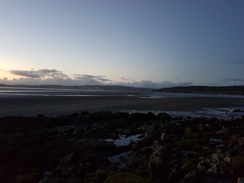
The day after my walk with X-Ray. Another two walk day, a circuit around Hawes Water mid-morning with TBH when the frost and mist was still clinging-on.
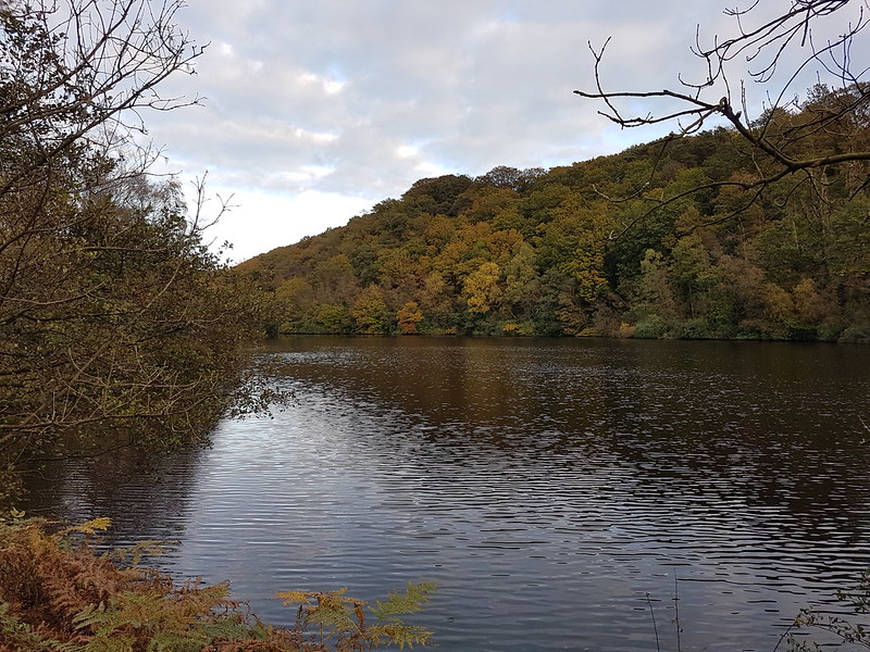
A misty Hawes Water
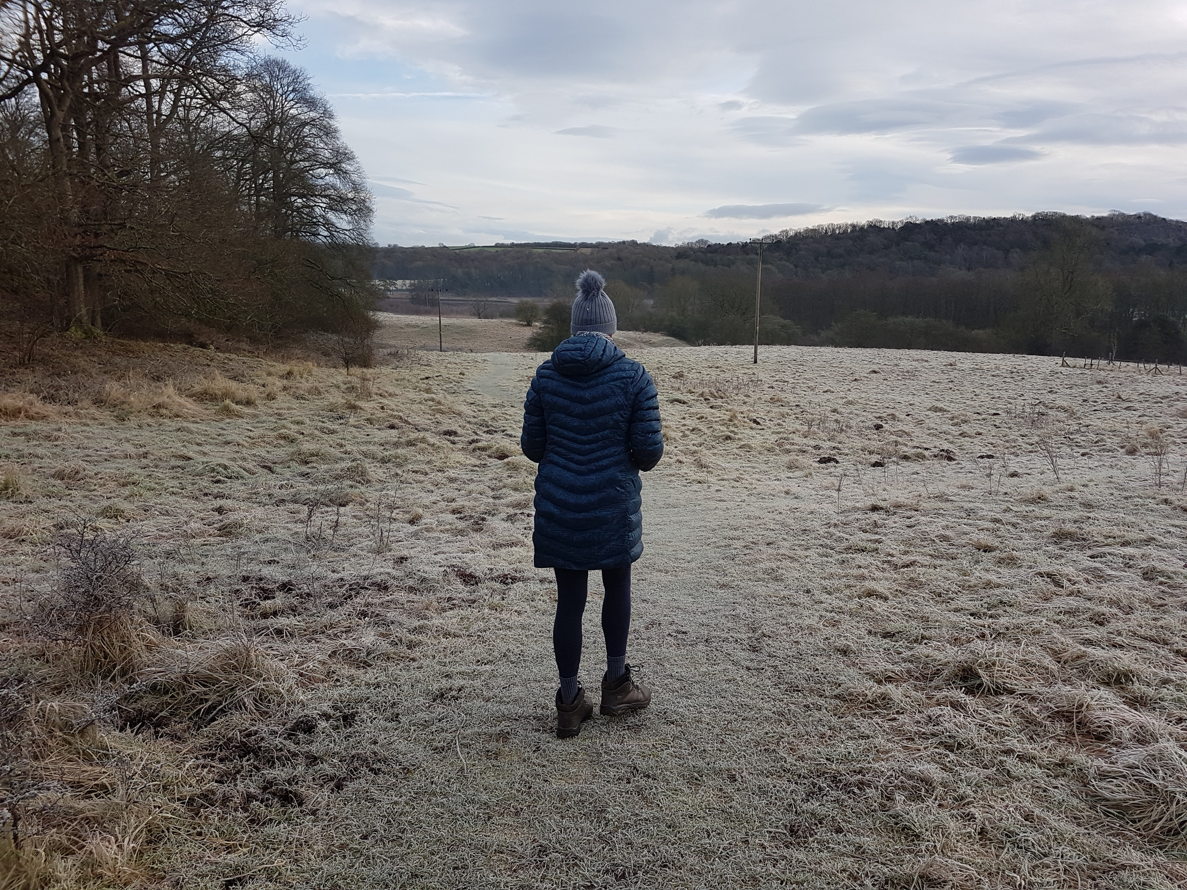
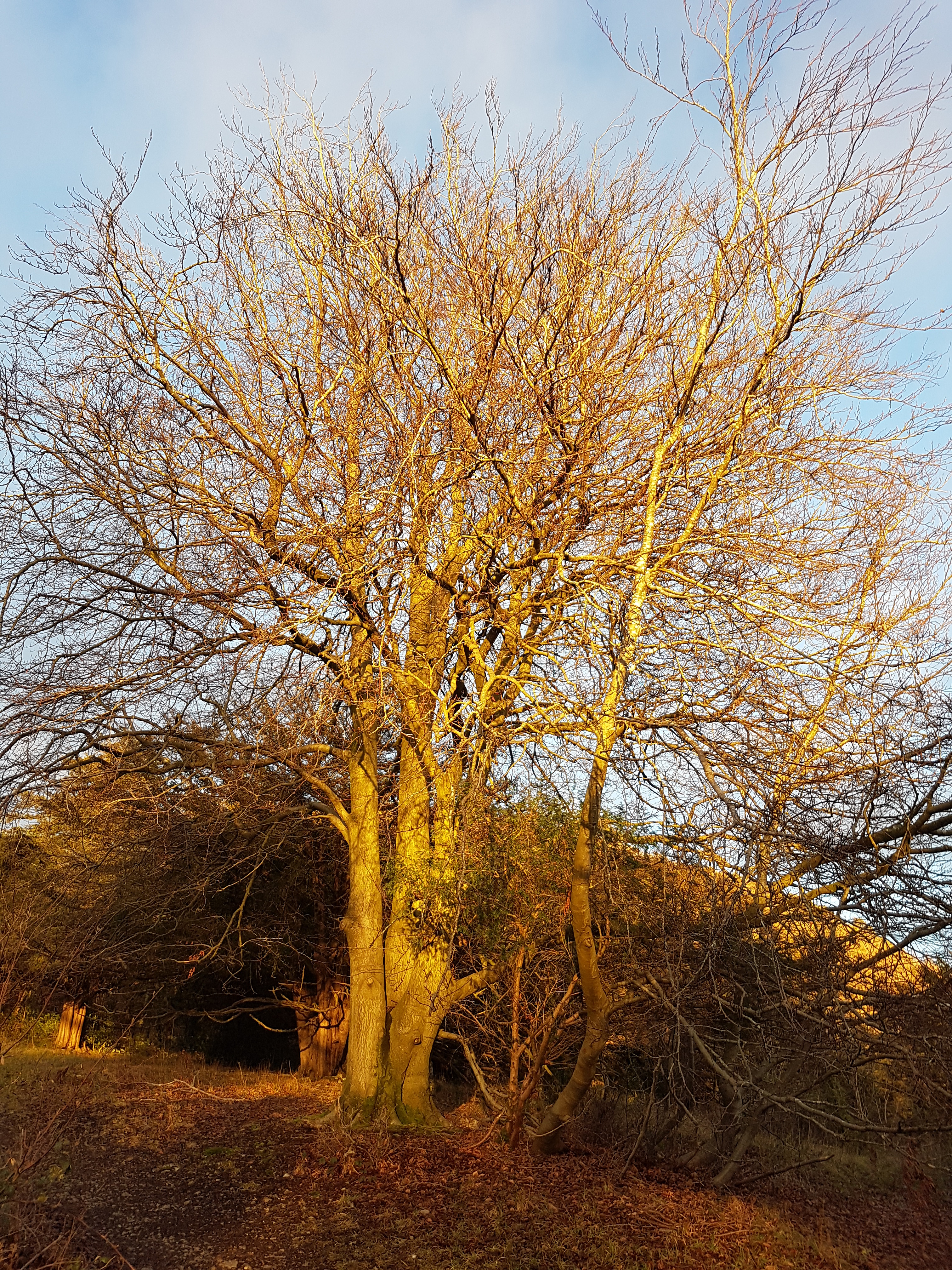
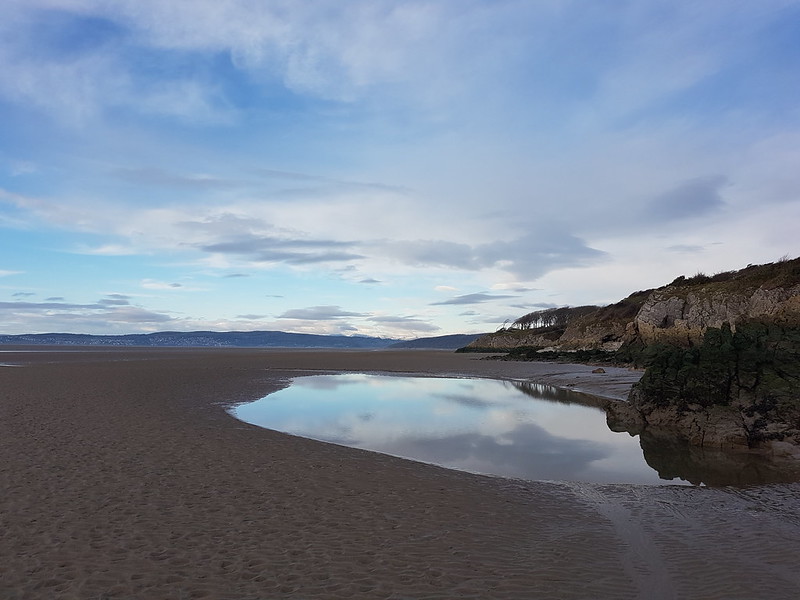
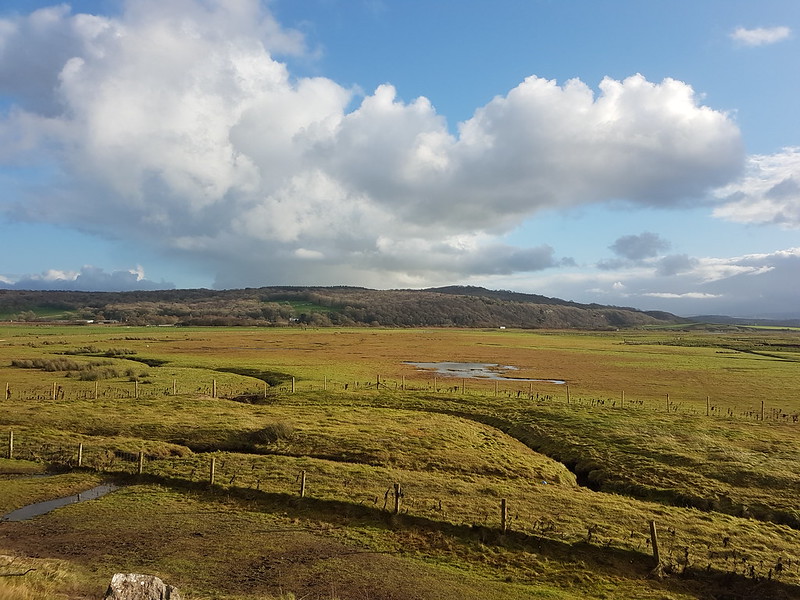
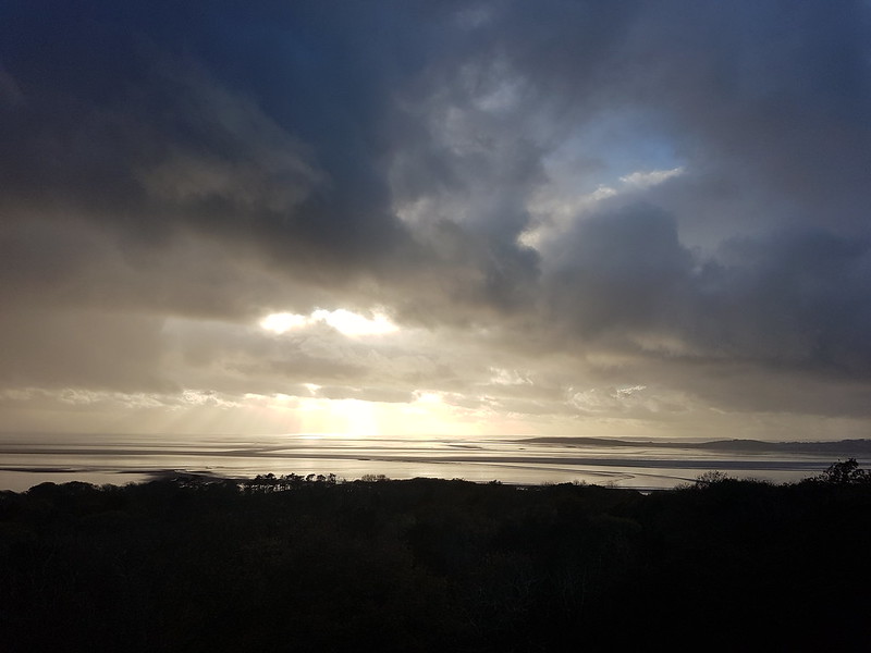
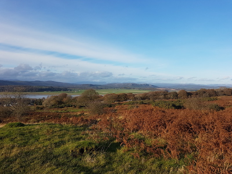
And then an ascent of Arnside Knott.
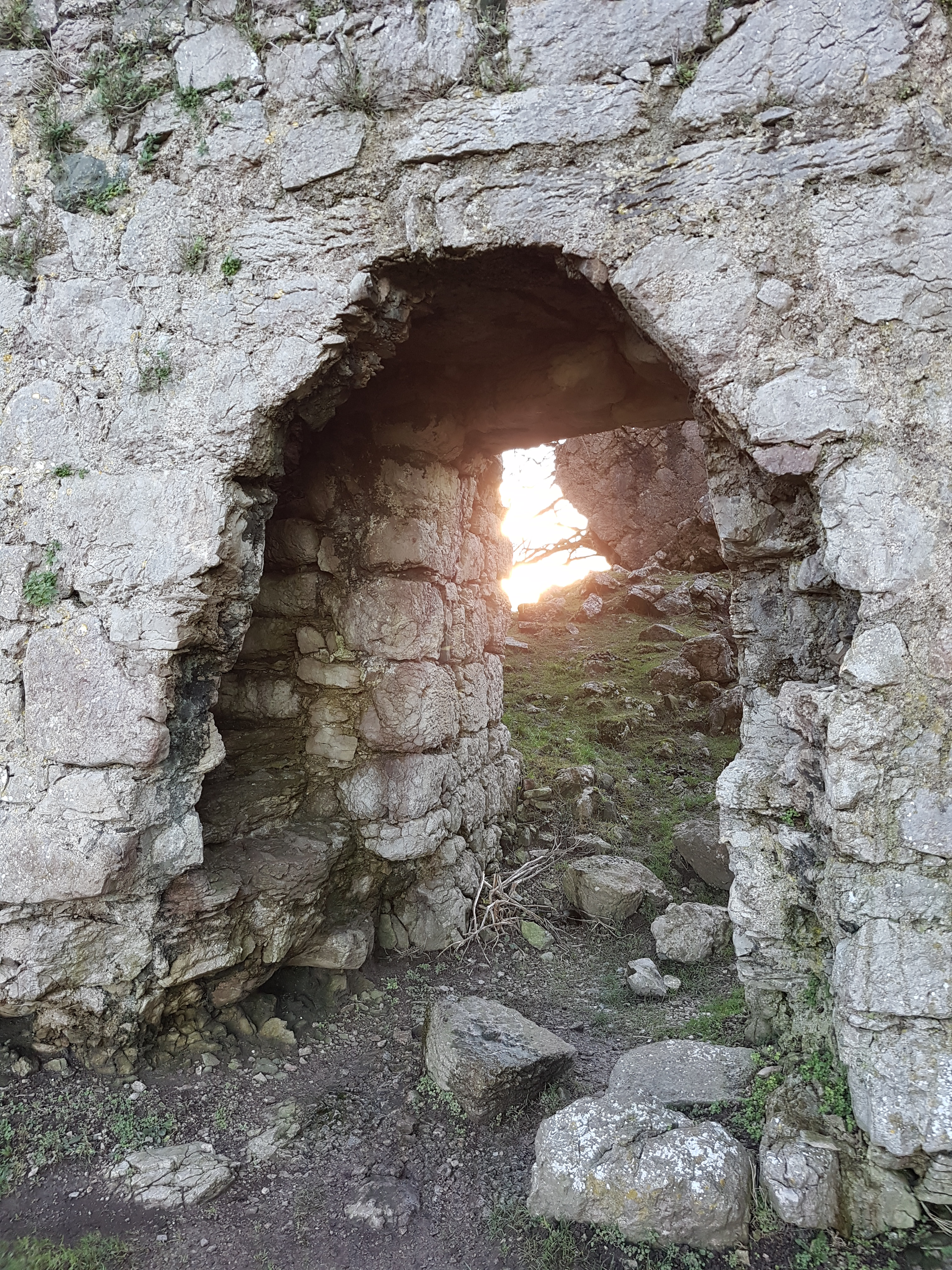
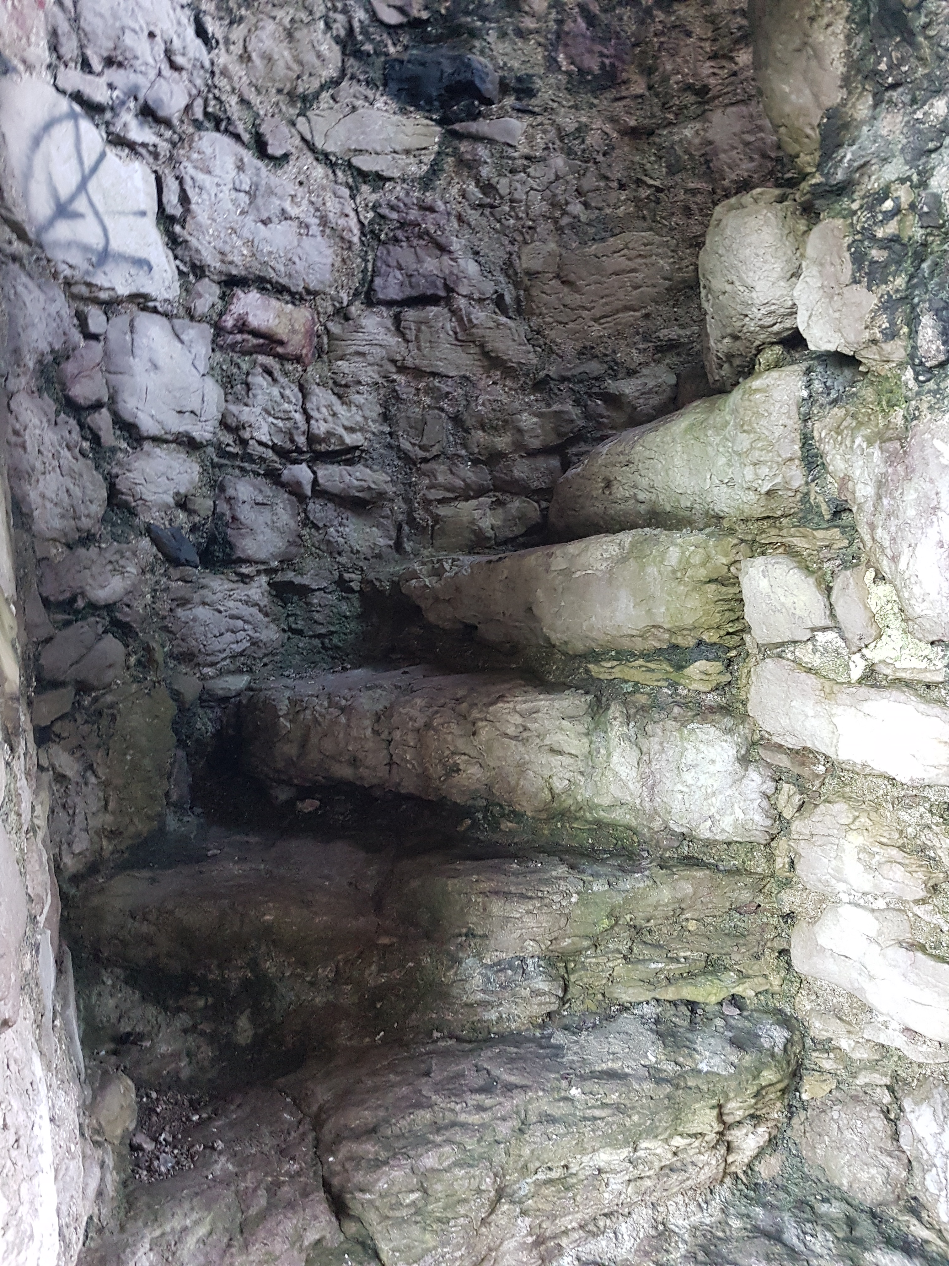
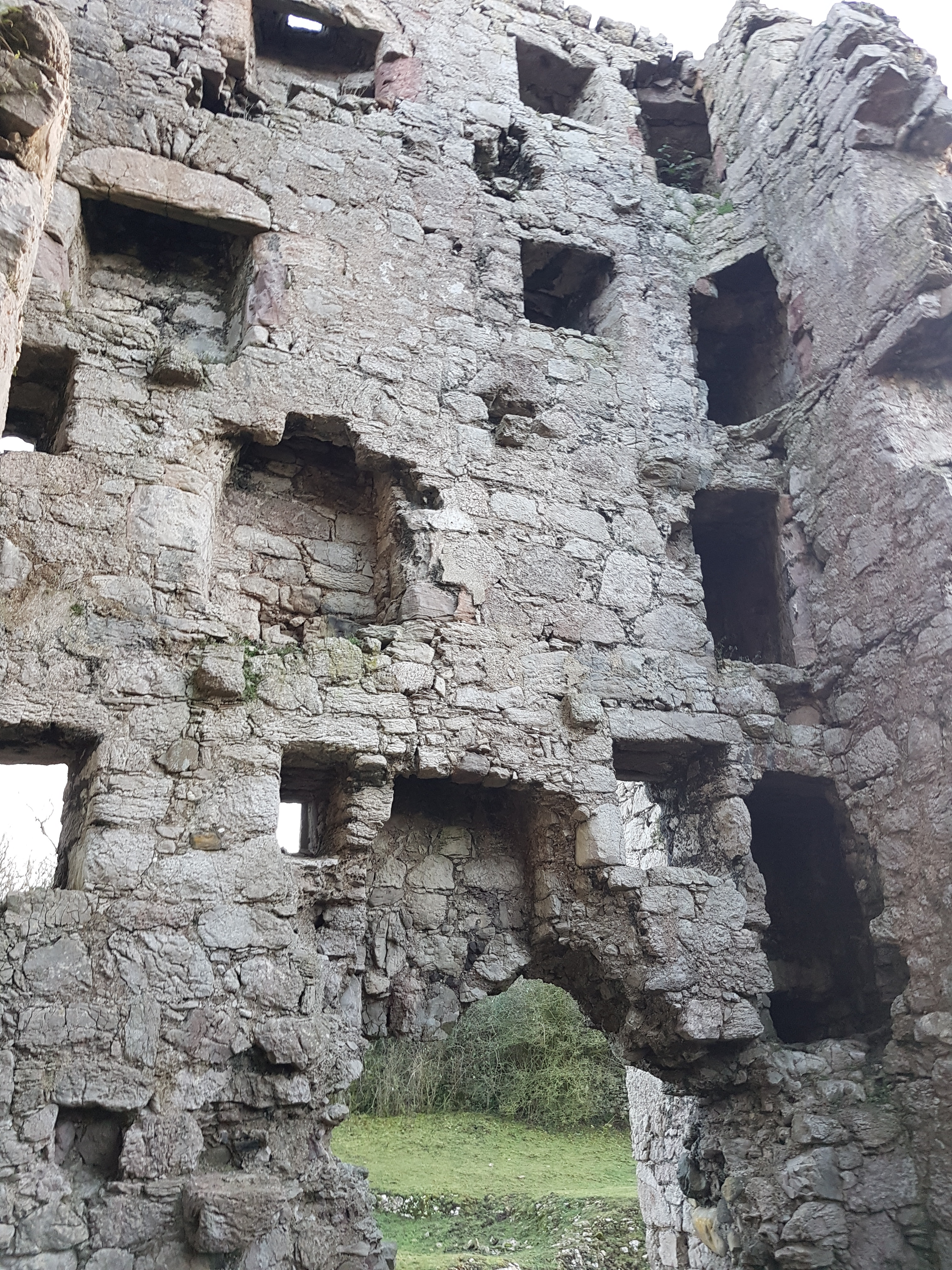
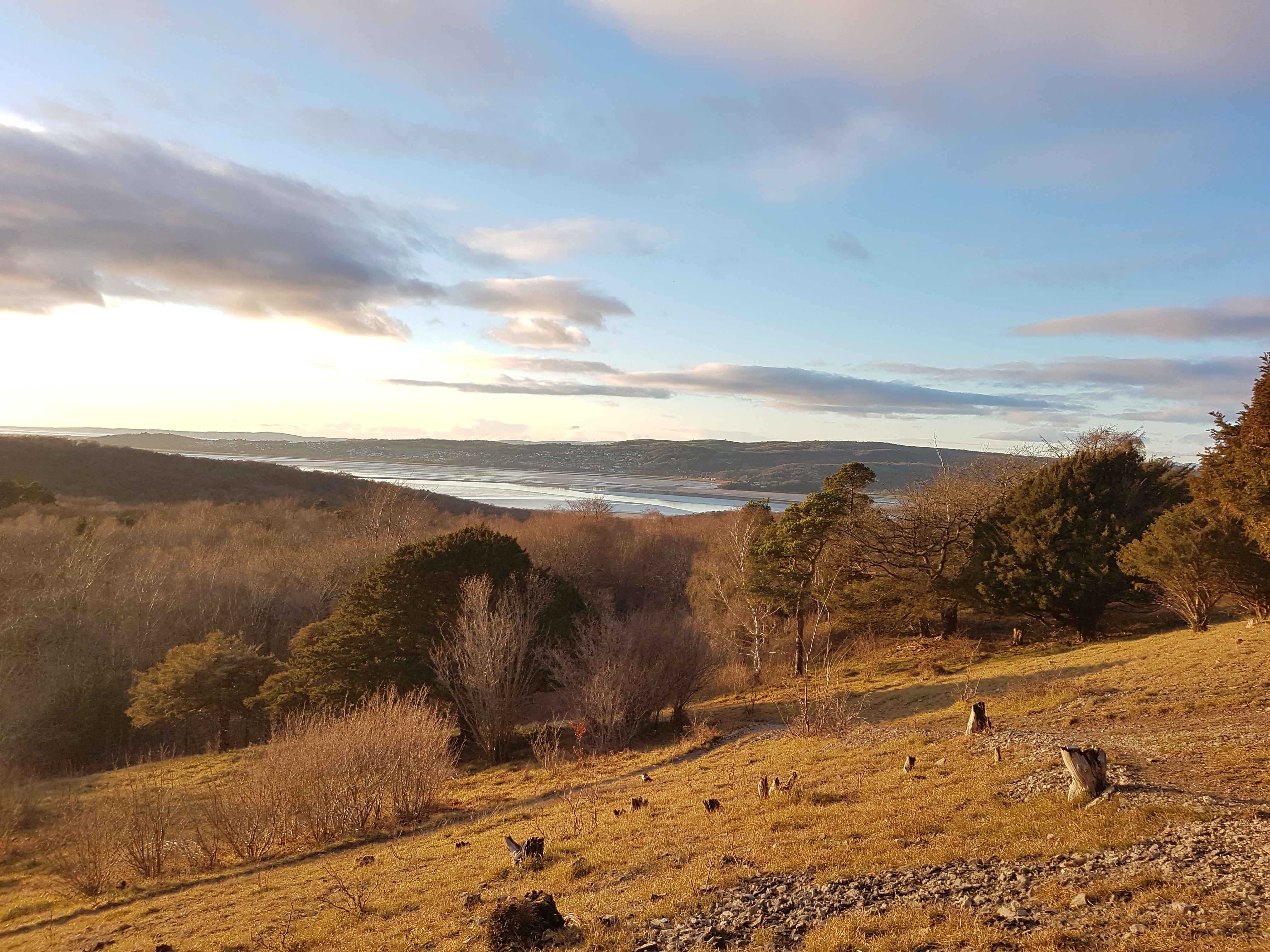
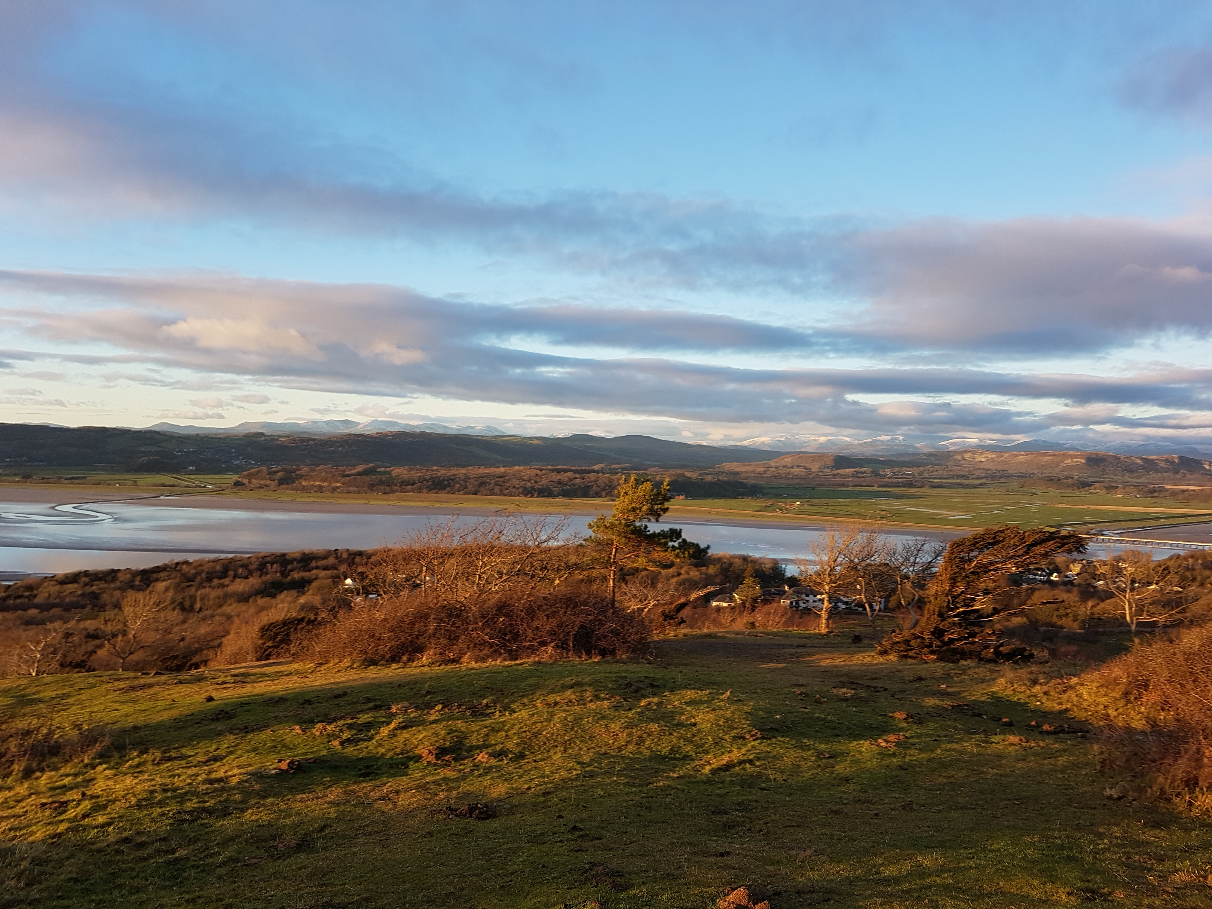
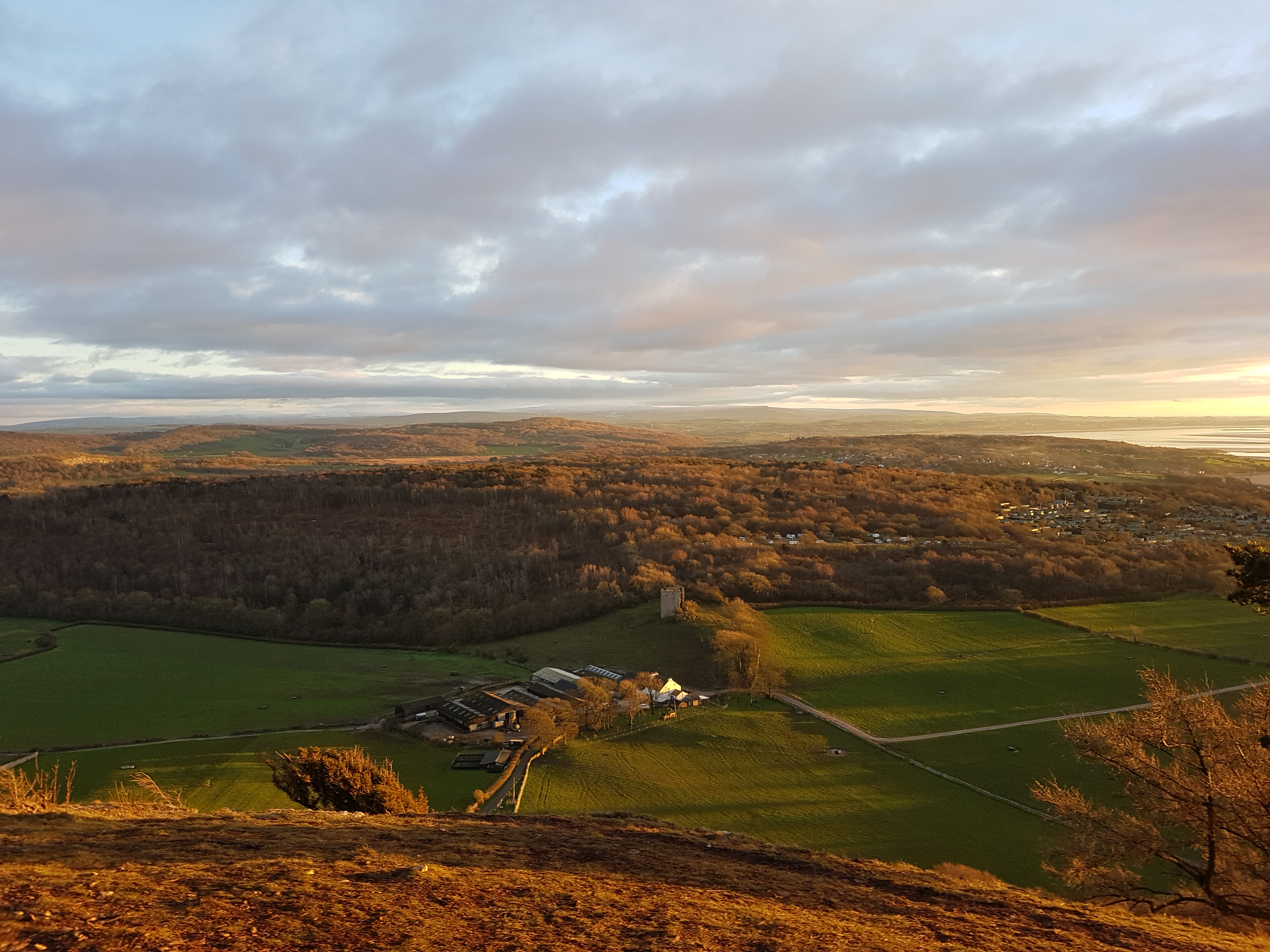
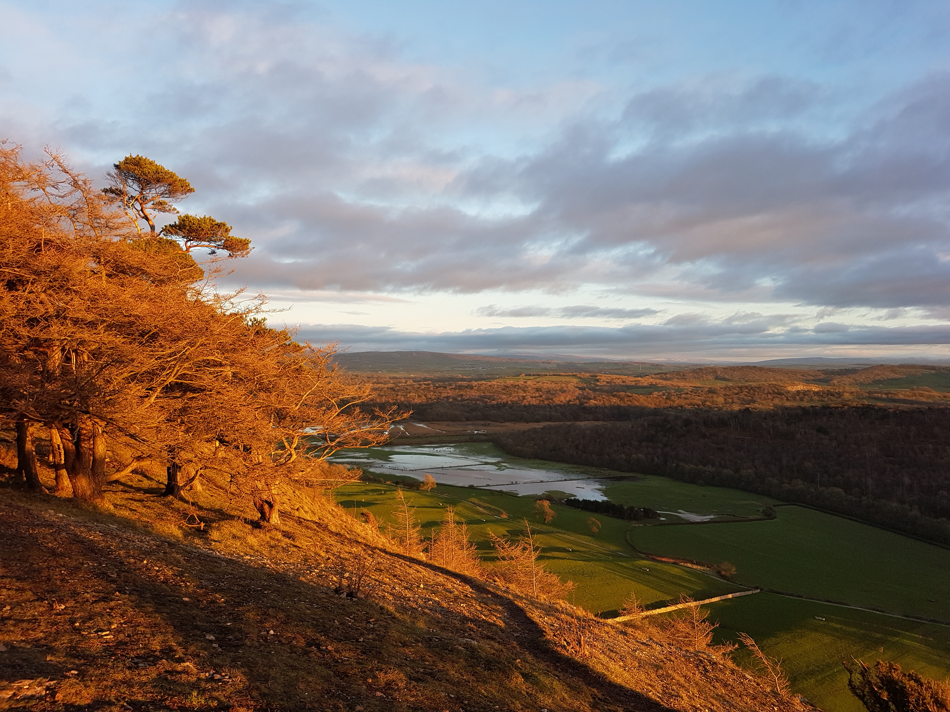
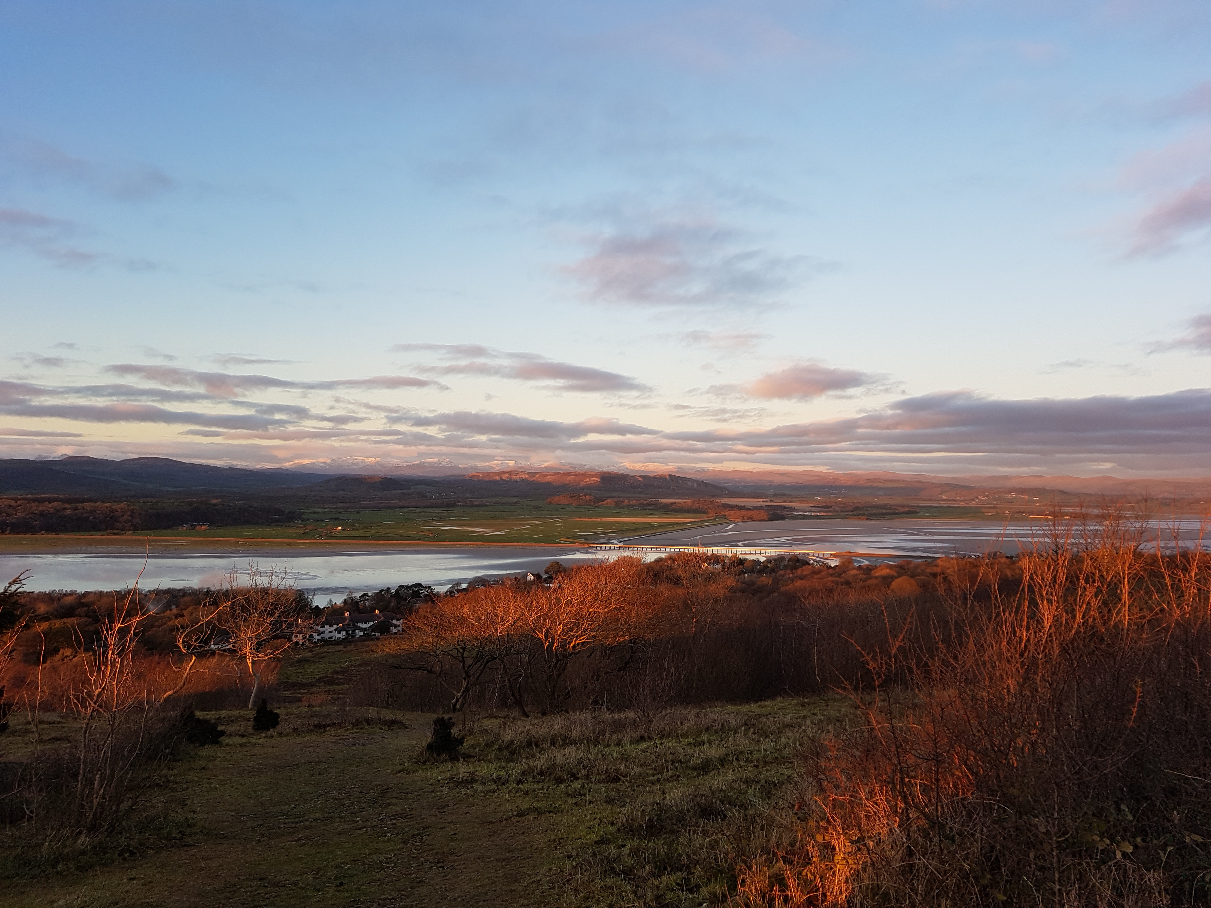
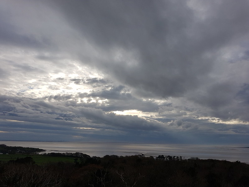
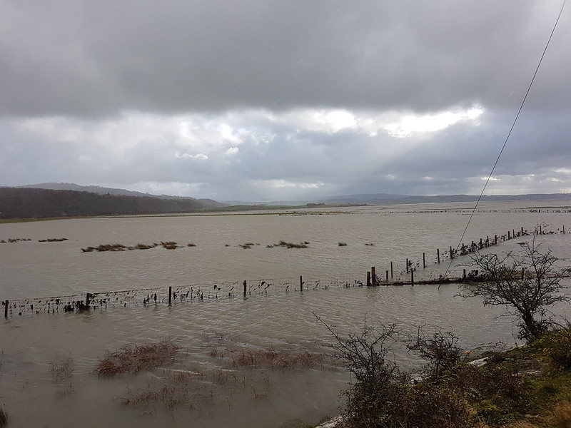
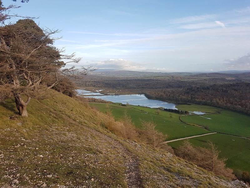
Flooding by Black Dike.Arnside TowerArnside Tower staircase.Arnside Tower doorways, windows and fireplaces.Low light in the woods on Arnside Knott.Kent Estuary, Hamps Fell and Grange.Snowy Lakeland Peaks.Whitbarrow catching the sun.The Bay from the Knott.Arnside Tower Farm, Eaves Wood, Warton Crag and Clougha Pike on the horizon.That flooding again.Two more views of the Cumbrian Fells, a little later in the afternoon.
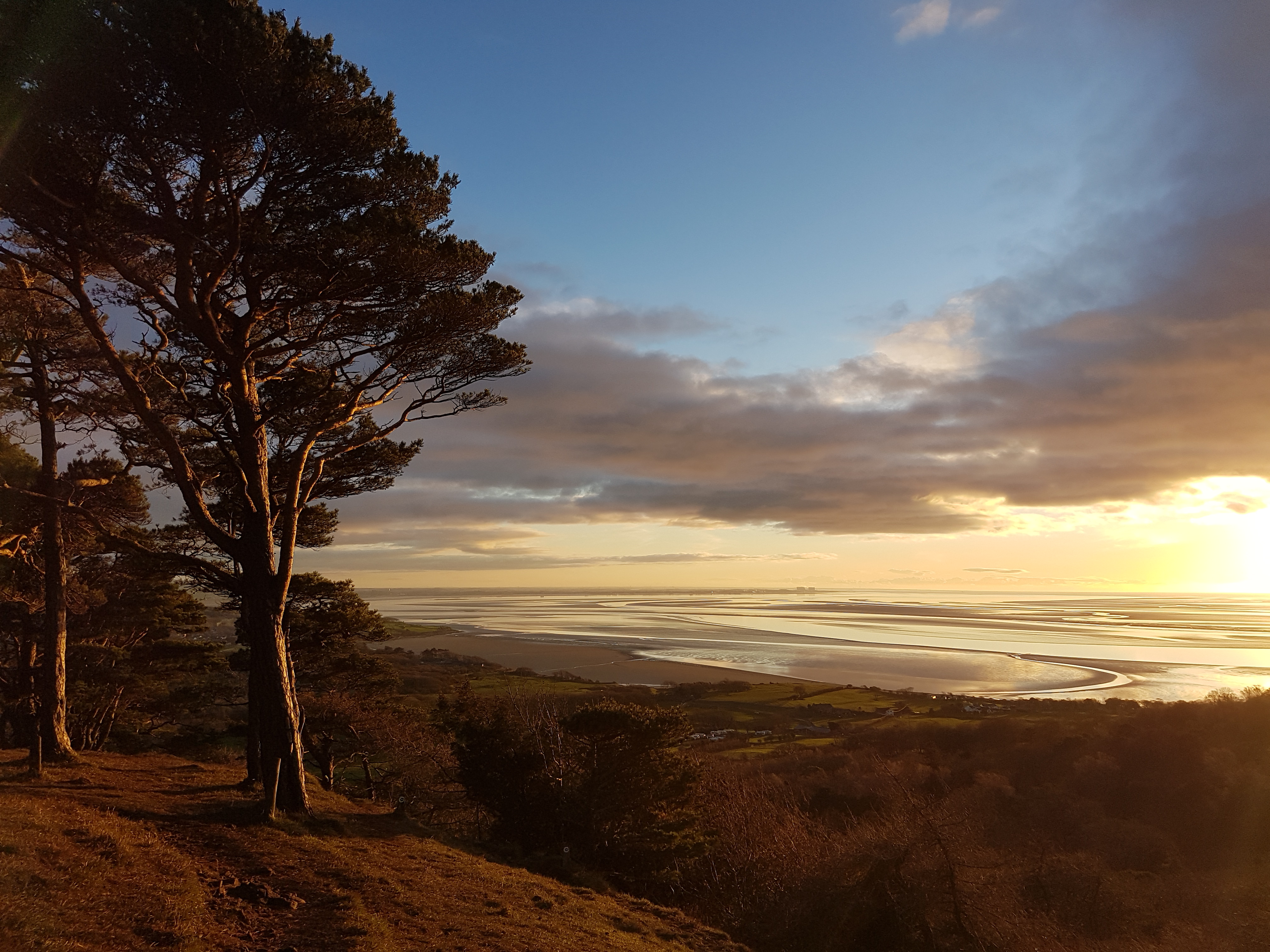
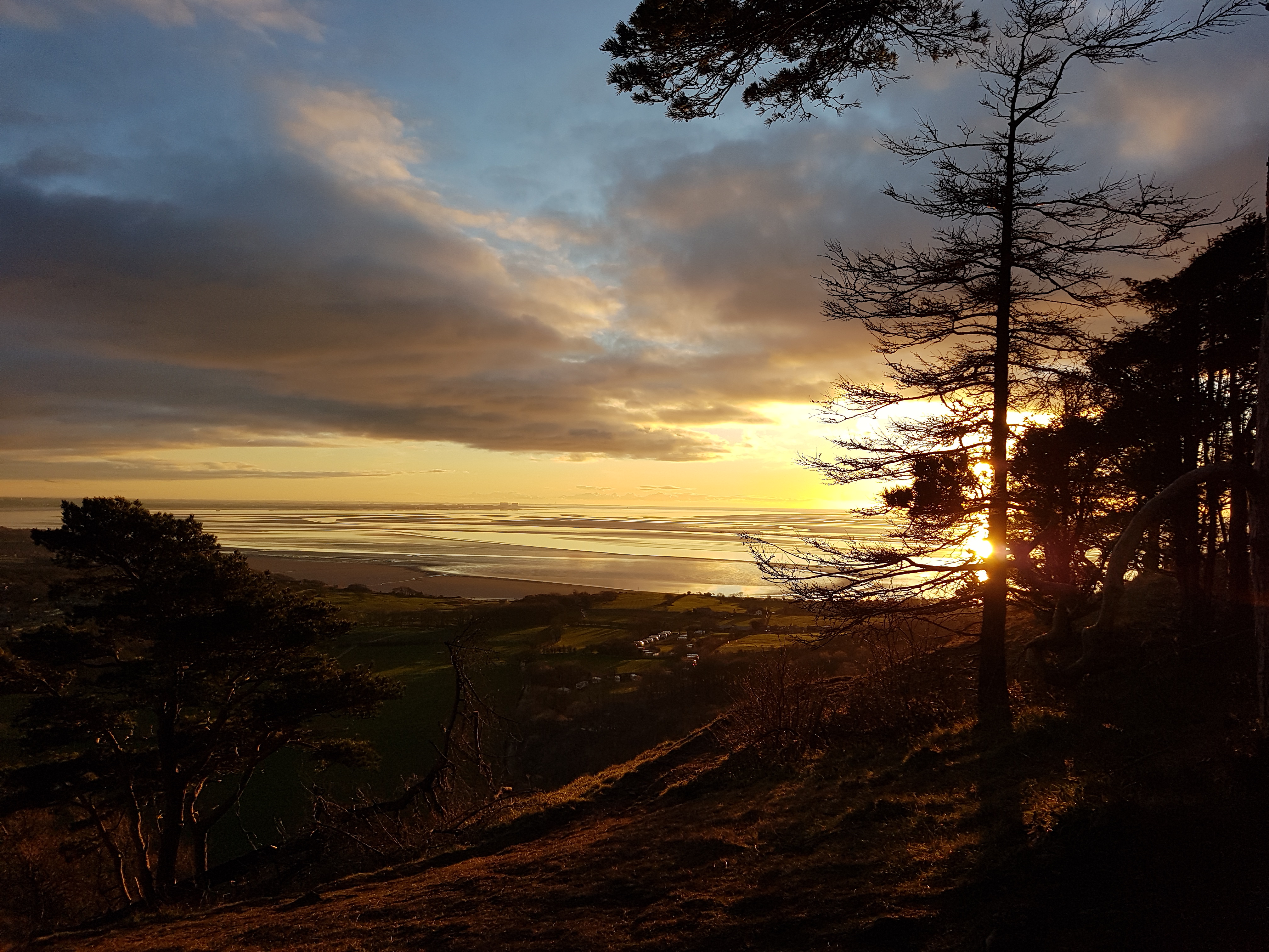
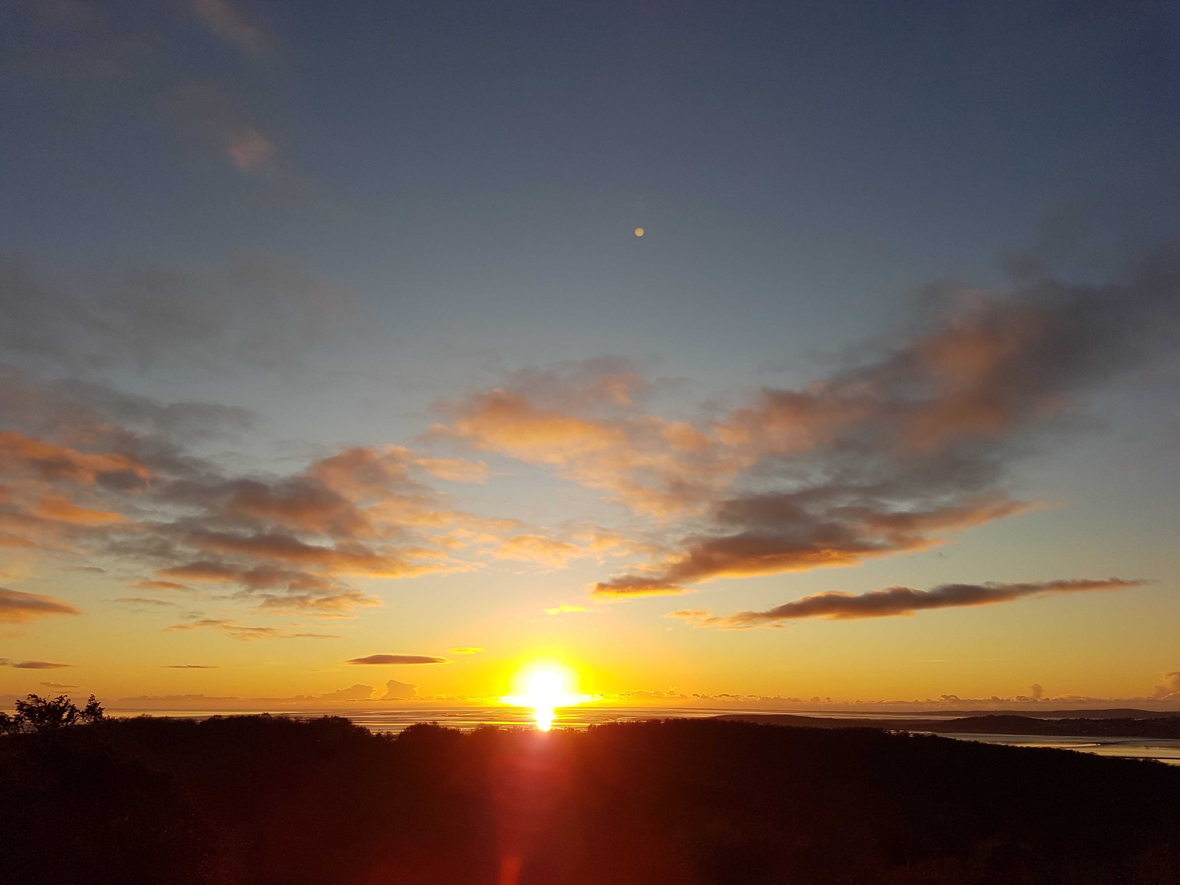
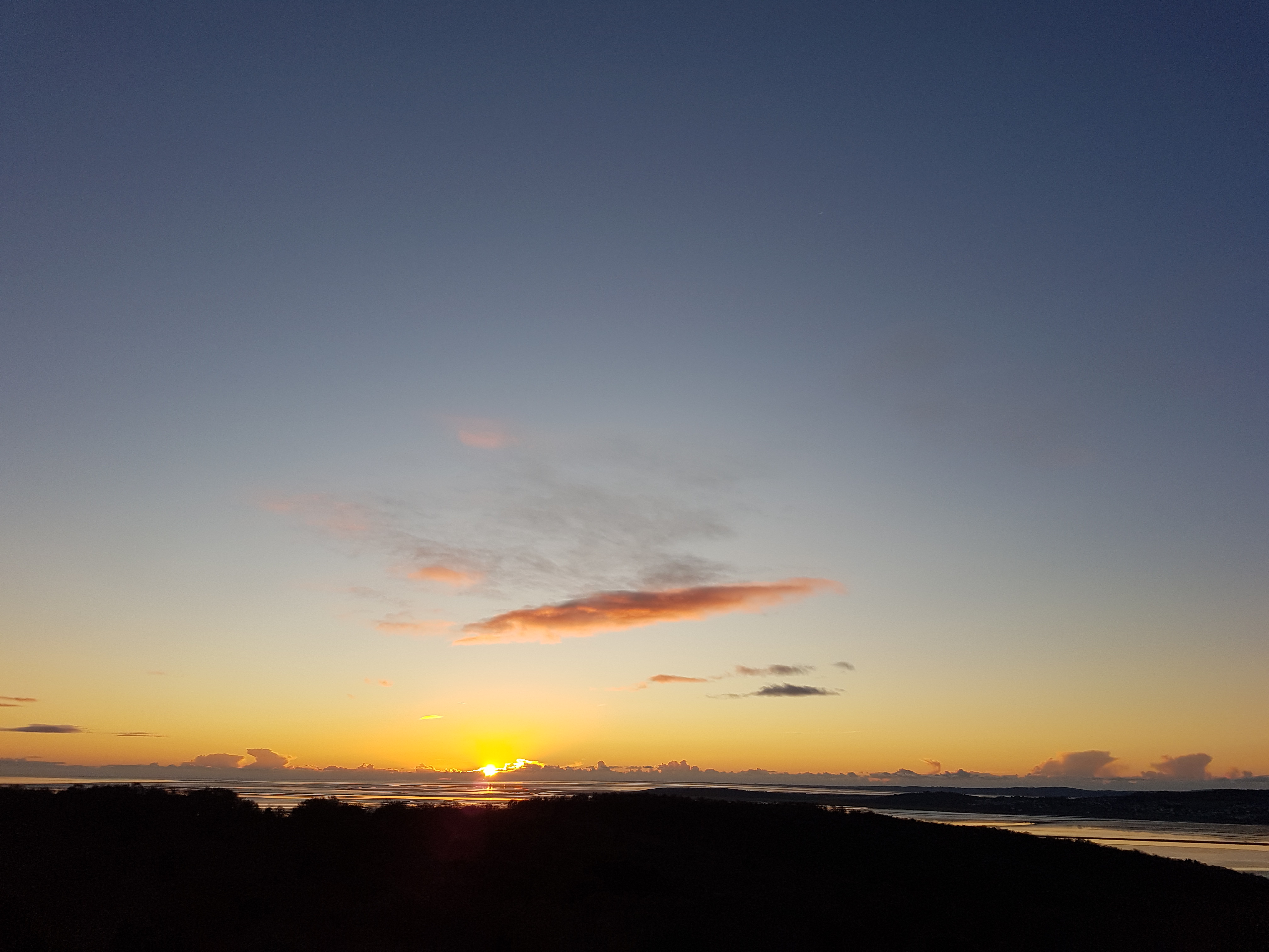
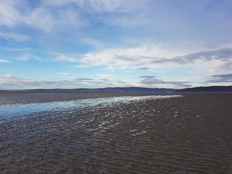
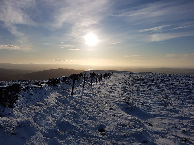
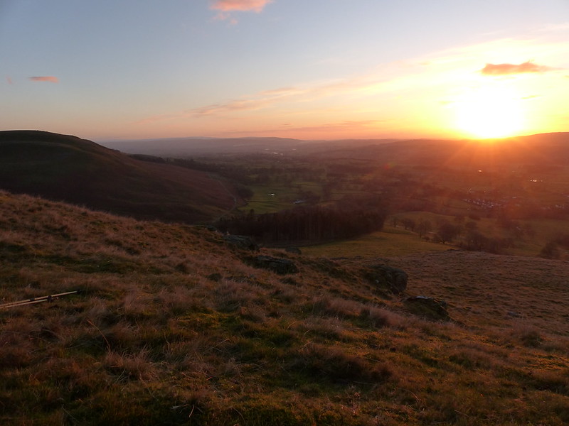
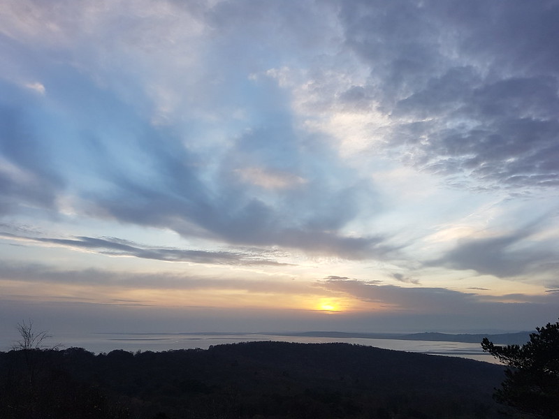
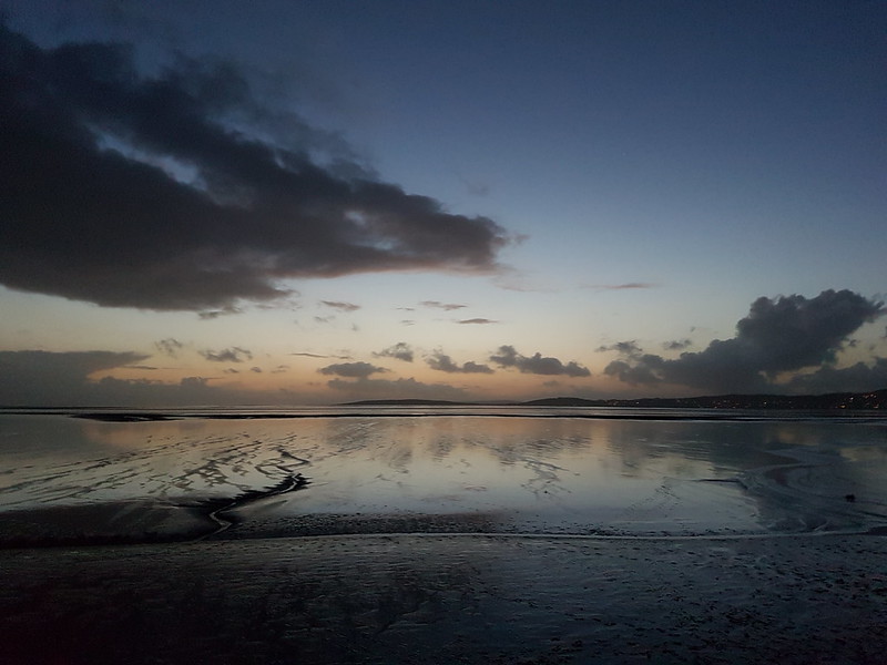
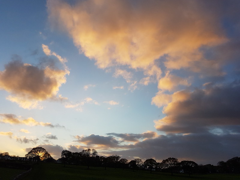
I looped around the top, so that I could return to the viewpoint by the toposcope for the sunset.
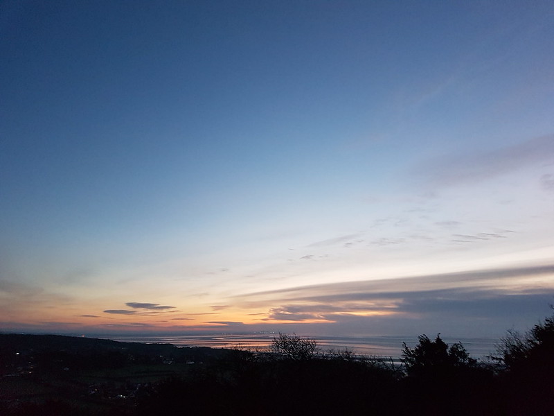
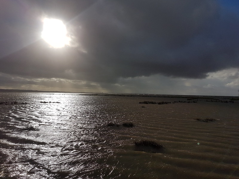
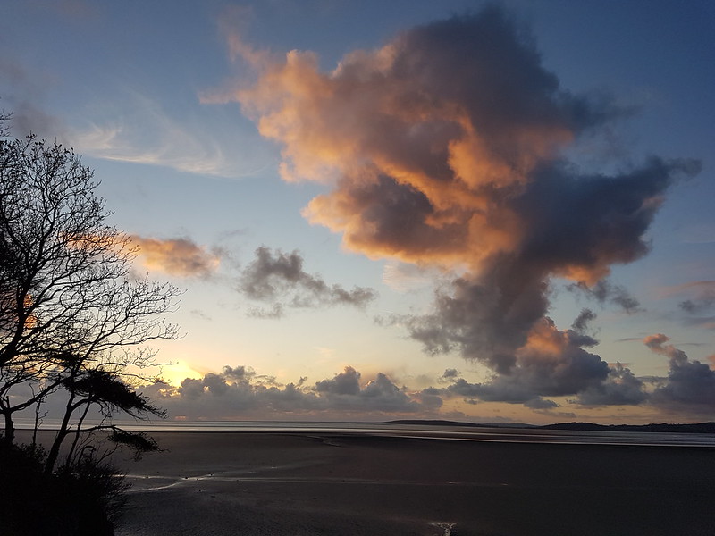
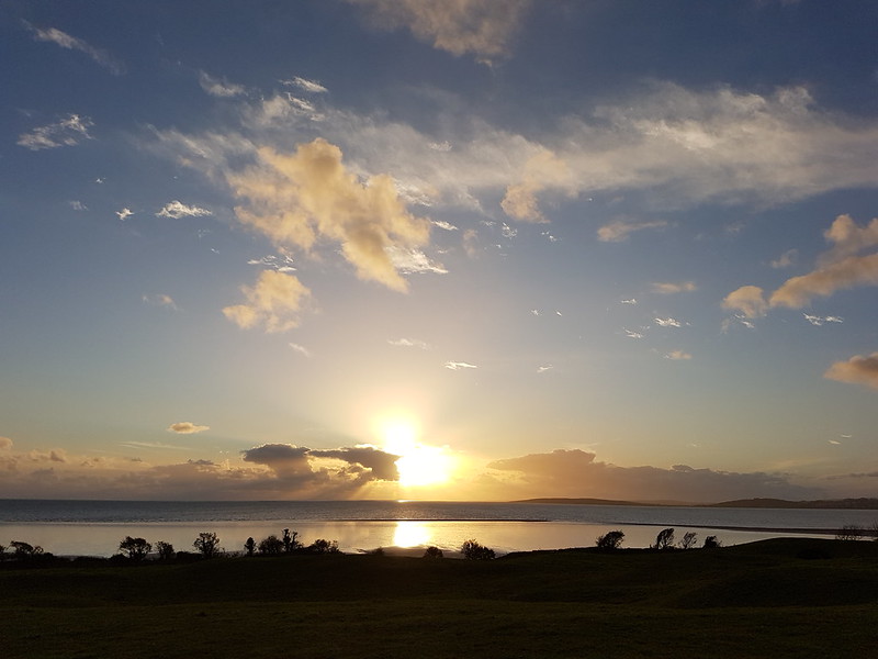
Morecambe Bay sunset.
Hardly spectacular, but any day which finishes with a sunset from the top of the Knott has something going for it!
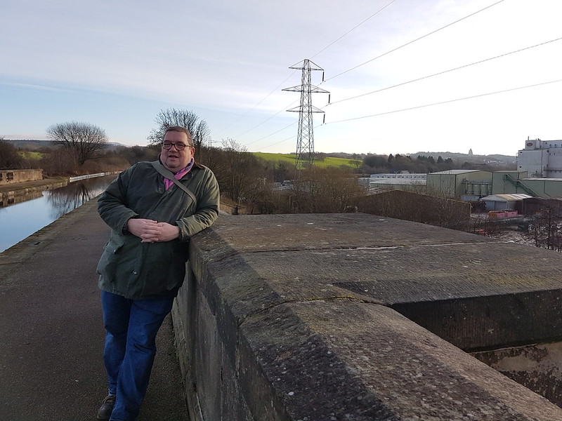
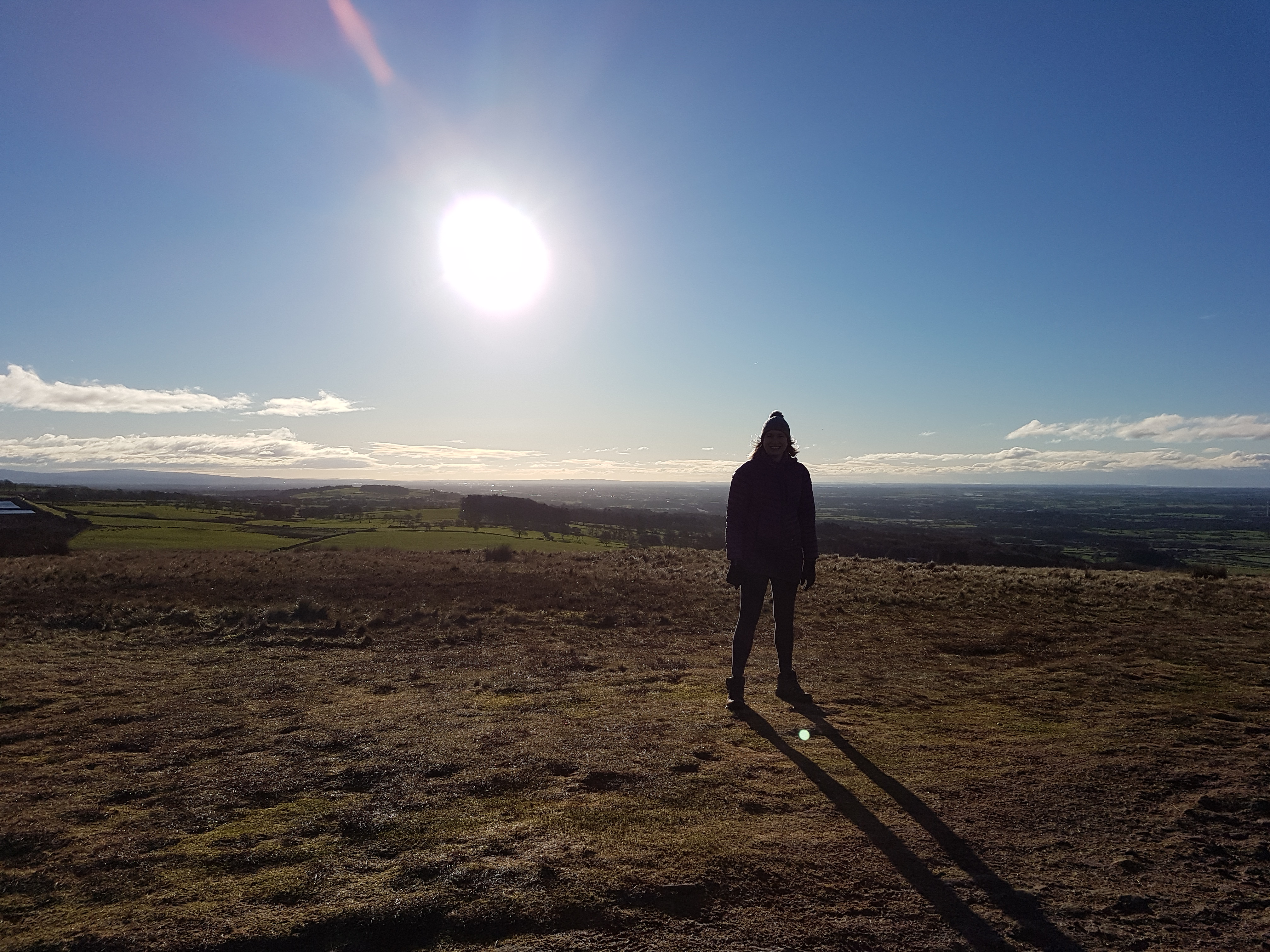
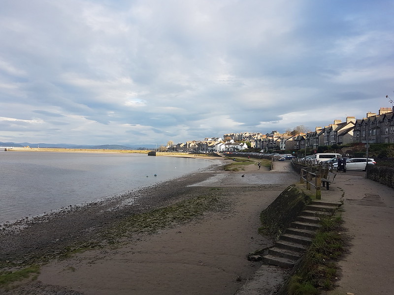
X-Ray on the Lune Aqueduct, just before he produced a flask of tea and two cups from his bag. What a gent.
X-Ray has appeared on this blog from time to time over the years. He’s an old friend who is always great company on a walk. We play in a pub quiz team together, but the pandemic put paid to that and when he rang me over Christmas I realised that I hadn’t seen him since the start of lockdown. A get together seemed called for and we eventually agreed on a walk around Lancaster. It was a glorious sunny day, lots of other people had a similar idea to us and were out for a post Christmas ramble in the unexpected sunshine. I probably should have taken a few more photographs, but X-Ray and I had a lot of catching-up to do, and anyway, whenever we get together we seem to able to fill several hours with non-stop conversation. On this occasion, without really realising it, we managed eight miles of blether before we’d found our way back to X-Ray’s flat.
Freeman’s Pools
We talked, among other things, about work; the pandemic, of course; pensions I seem to remember – probably an age thing; and about shoes. X-Ray had been reluctant to come for a walk from Silverdale to Arnside because he has no comfortable walking boots. For our walk he was wearing, I think, a pair of trainers with part of the toes removed. He finds it very difficult to buy shoes or boots which are wide enough for his feet, as do I. I told him about my Altberg boots, which I bought at Whalley Warm and Dry and which, after 5 years of use, are a little scuffed but otherwise as good as new. In fact, I’m wearing them more and more, as I find that they are consistently the most comfortable footwear I own. Anyway, X-Ray rang me last week and told me that he has an appointment next week at Whalley Warm and Dry to get some boots fitted. Hopefully, he can find something which is a good fit, and then we can get out for a walk somewhere a little further afield. Remembering our chat has also got me thinking about maybe going back myself to try a pair of Altberg shoes.
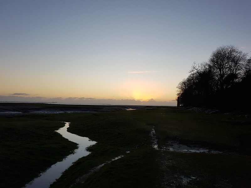
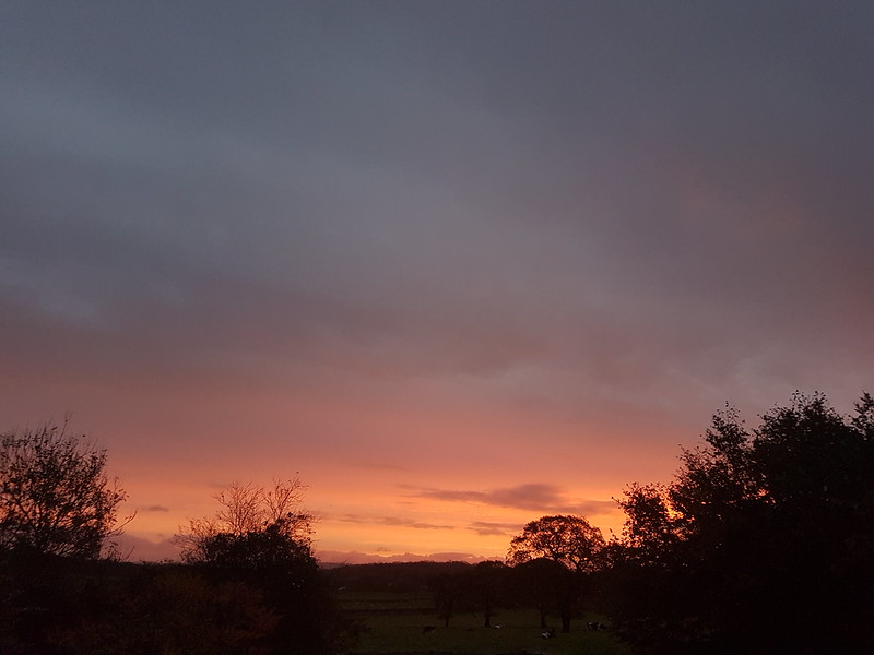
Talking of kit, we were out for a family walk later that same day, after sunset, to try out a Christmas present, a wooly hat with an integral head-torch.
As you can see, although the sun had already set, the light was rather nice.
I was jealous of B’s hat which, as well as a light, incorporates bluetooth headphones. What a great idea!
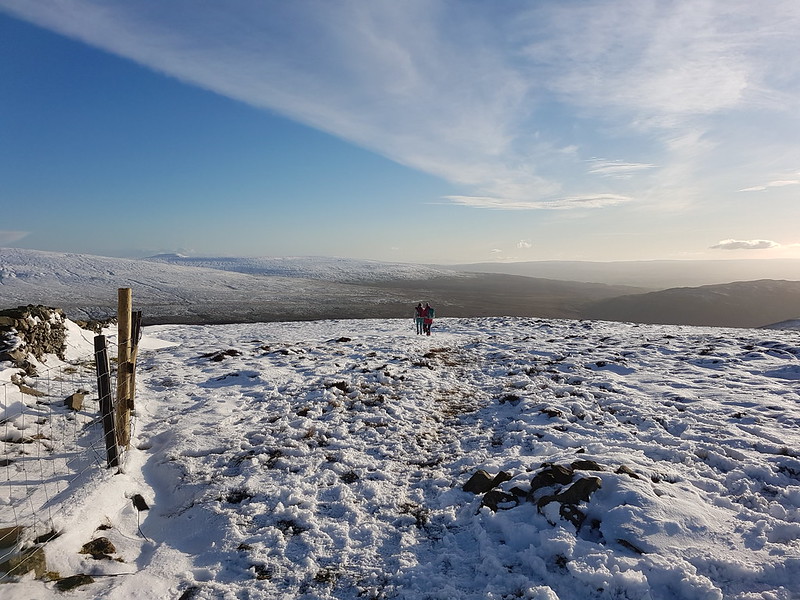
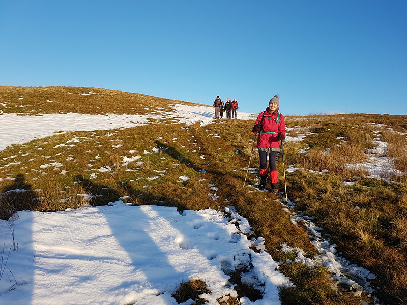
Having enjoyed my walk on Nicky Nook in the autumn, I wanted to return, TBH joined me on a gloriously sunny Christmas Eve. Having tackled the hill from the west last time out, this time I thought we’d climb it from the east. We parked at Grizedale Bridge and then dropped downhill a little to the farm at Fell End. TBH was slightly sceptical about this choice, rightly as it turned out: the field was completely water-logged.
Once past the farm however, the going got much better. The route up offered expanding views and very soon brought us to the top.
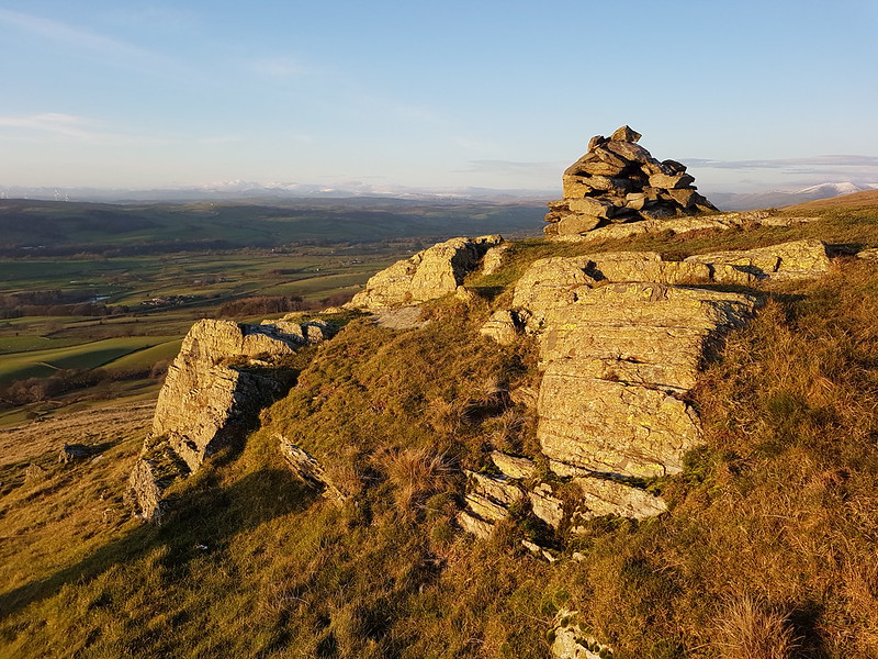
Harrisend Fell.
It was very busy. Perhaps I should have anticipated, on such a clear bright day. We even bumped into a colleague and her family, ex-pupils of mine.
Looking across The Tarn to Black Combe again.Harrisend Fell, with Clougha, Grit Fell and Ward’s Stone behind.
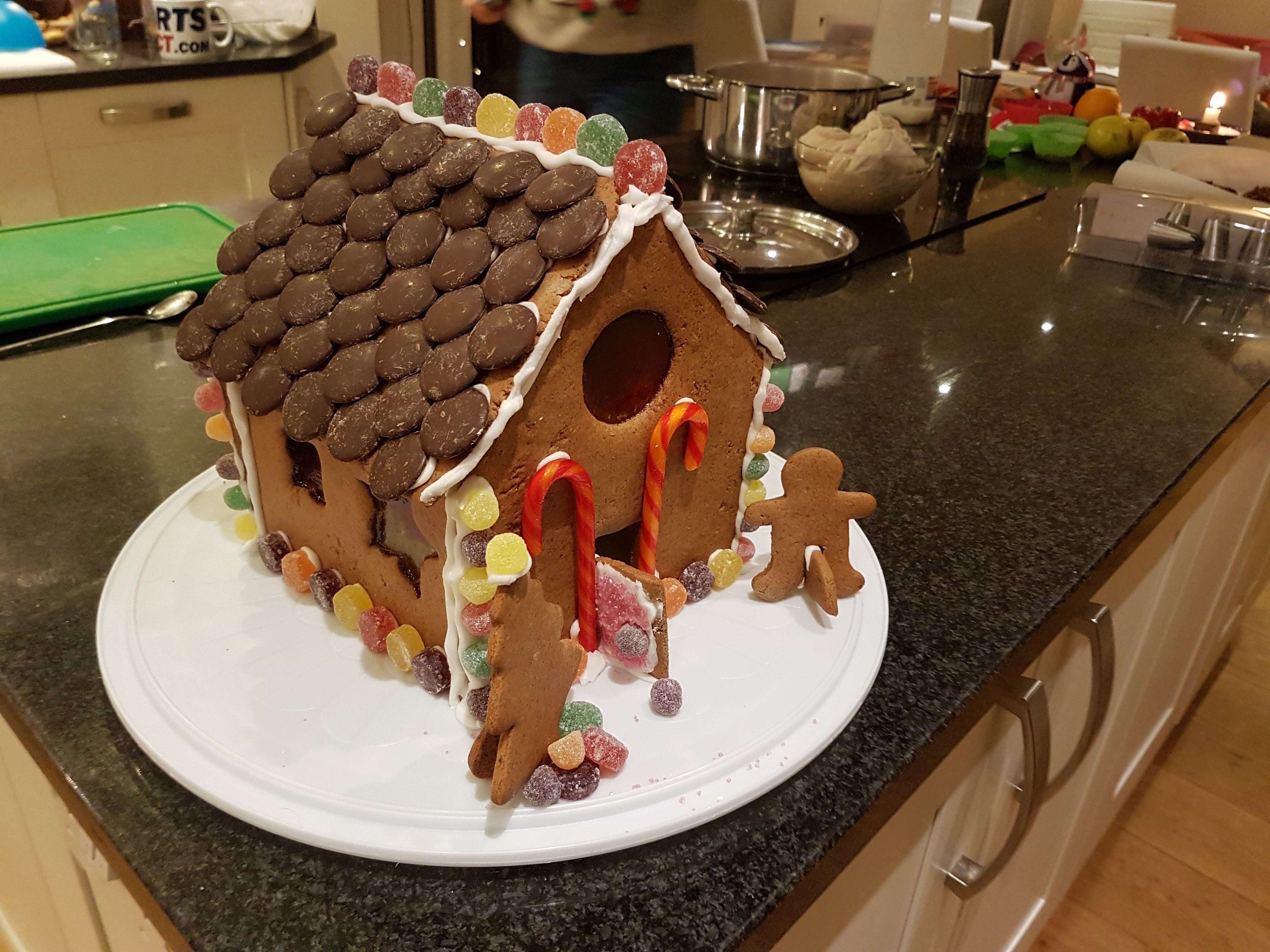
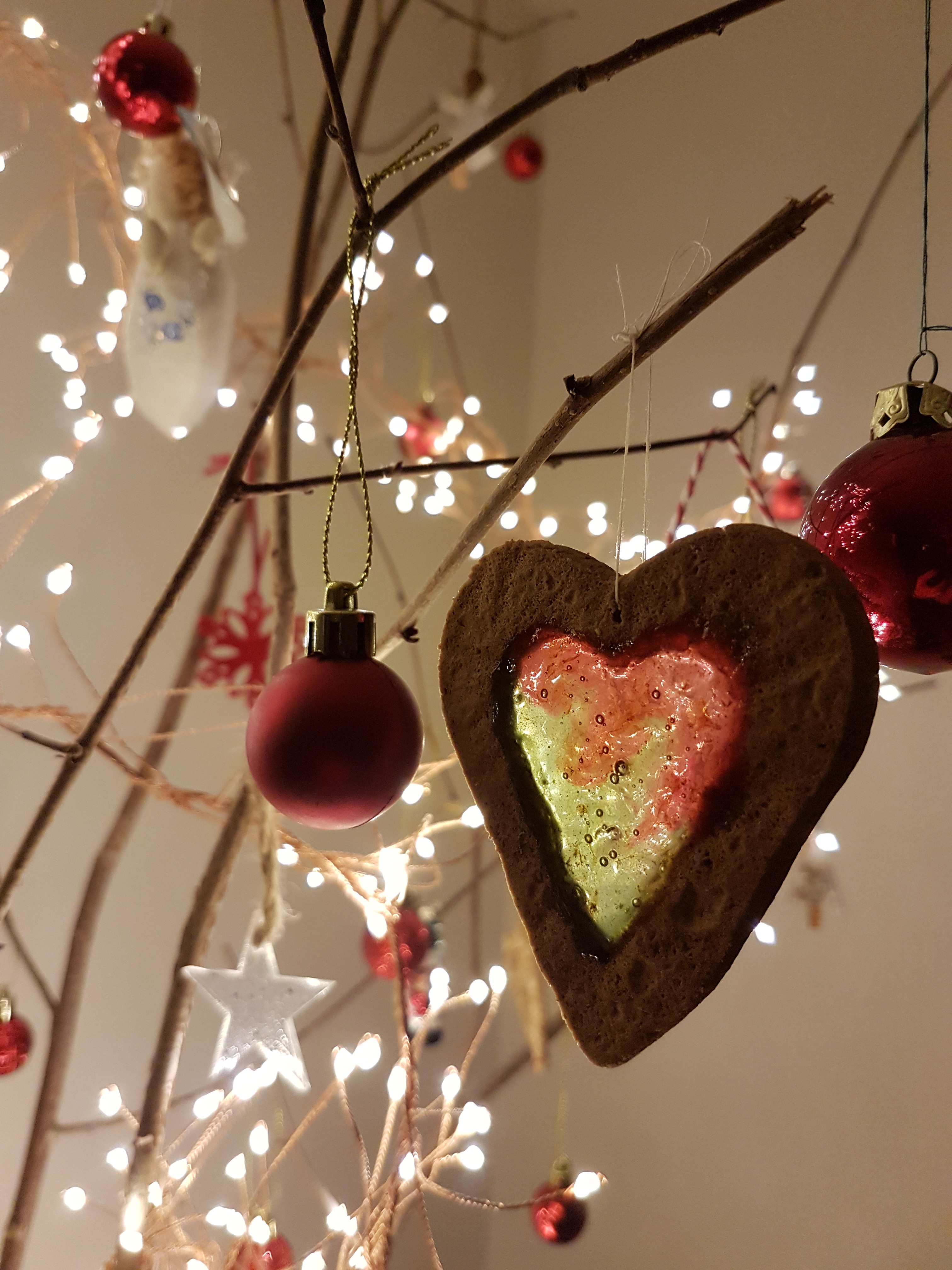
Meanwhile, back at home, A wanted to do something creative, and spent her day making a ginger-bread house…
Clever isn’t she?
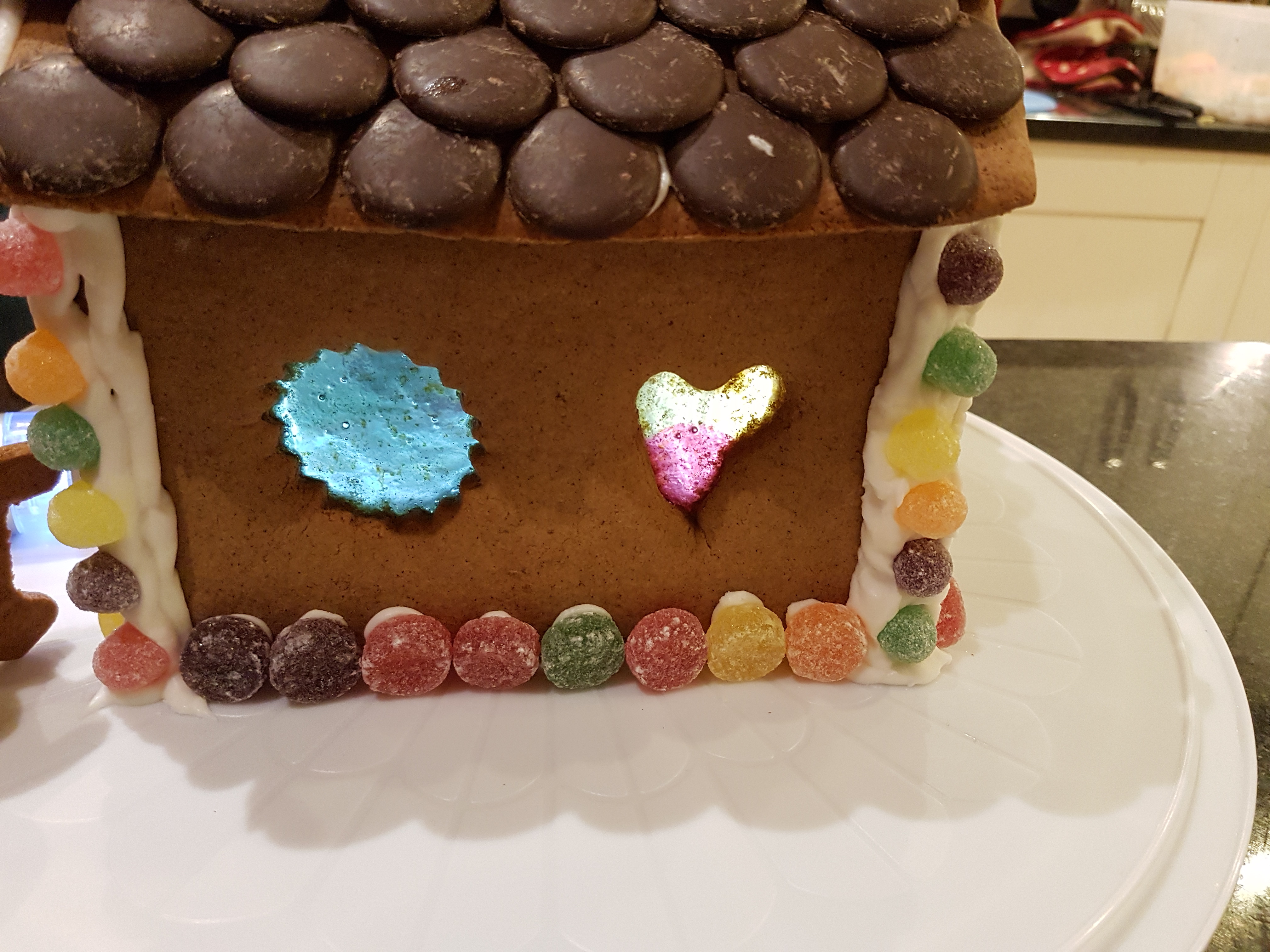
I’ll let you in on the secret of the windows, just so long as you keep it to yourself: Fox’s Glacier Fruits melted down apparently. And then baked with the gingerbread I imagine?
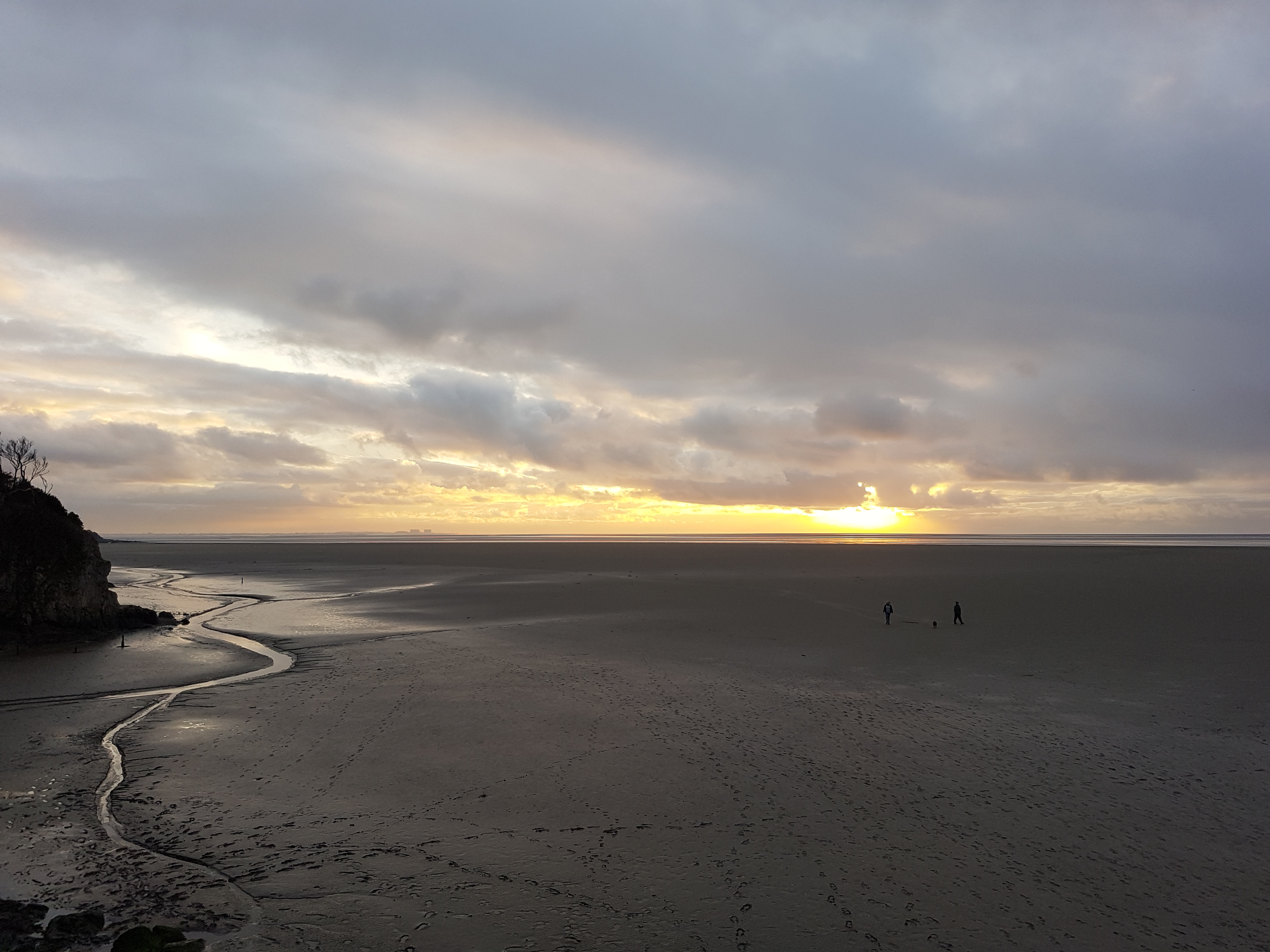
Our Nicky Nook walk was only short. We had a slightly longer walk later, ostensibly to deliver Christmas cards to our friends in the village, but we also managed to squeeze in a visit to The Cove. The photo, though, was from Christmas Day, when the weather had deteriorated somewhat, but was fine enough for a late afternoon turn around The Lots.
Christmas Day was much quieter than usual for us. It was nice enough, but, well, not quite the same, without the house full we’ve come to expect. On Boxing Day my in-laws visited. The first time we’d been able to get together since the summer, so it was great to see them.
A also made a few gingerbread and fruit sweet Christmas tree baubles.
This coming Christmas, do you think I can have clear blues skies on Christmas Eve and a big family party on Christmas Day too? Here’s hoping.
A few photos from the week leading up to Christmas. Since I had MapMyWalk working again, I can say that I got out almost every day over the Christmas break, often more than once, almost exclusively for local wanders.
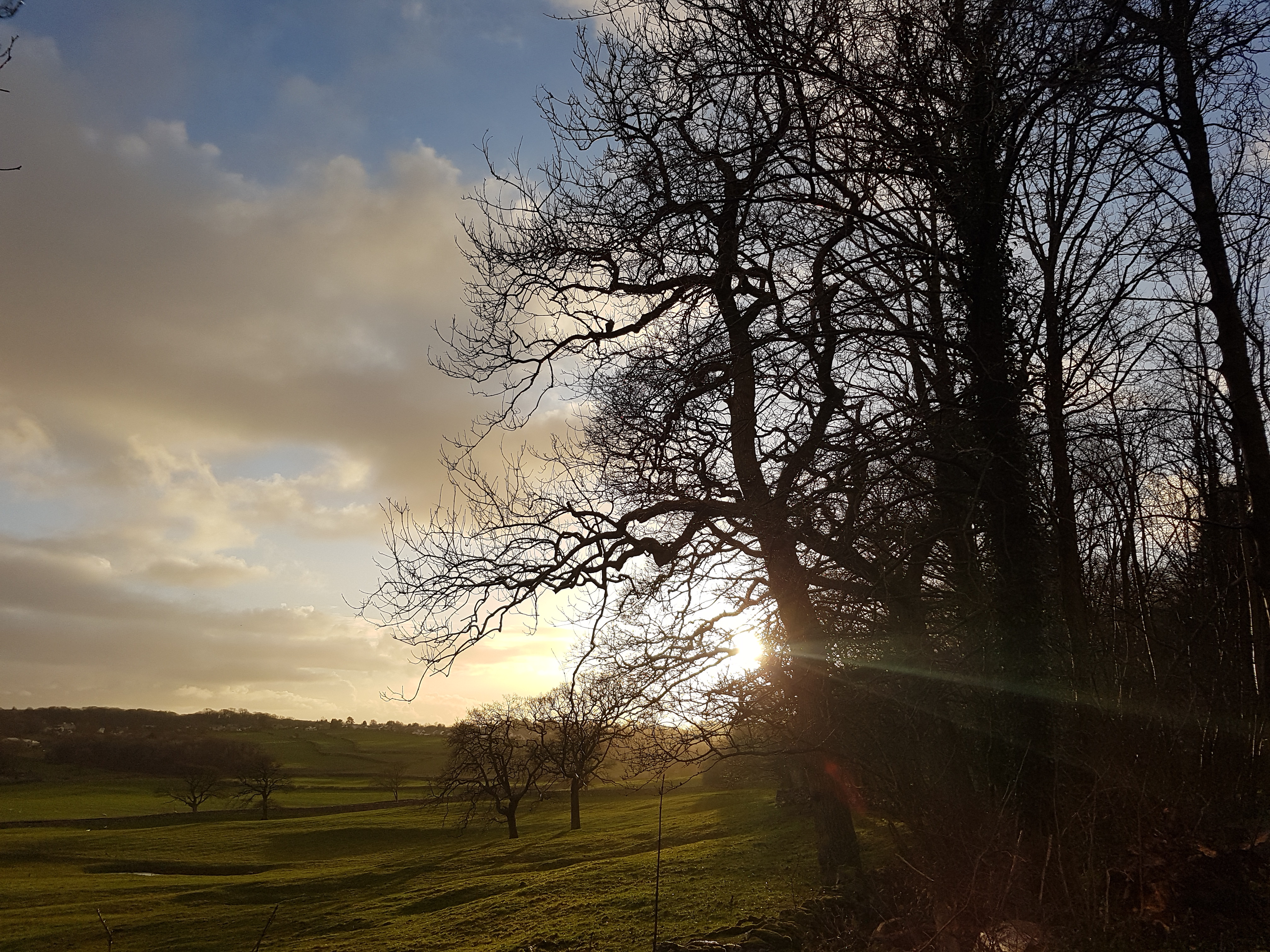
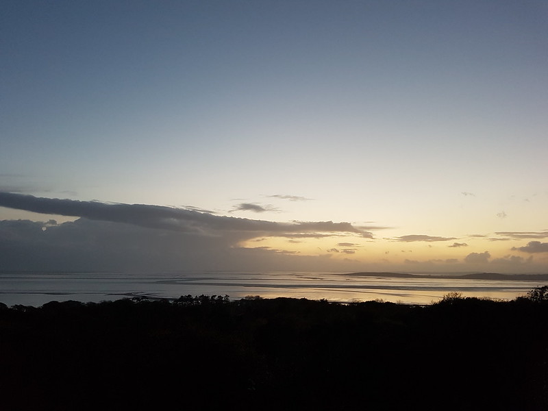
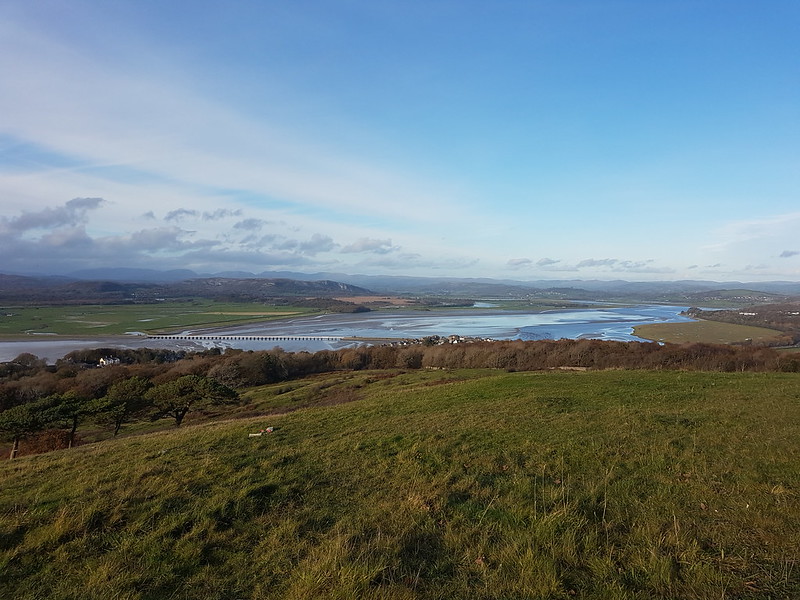
One day, TBH and went up Arnside Knott. The weather was really odd: looking south it was hazy, with the Bowland skyline obscured by low cloud and a bit of low-lying mist. The effect, I thought, was to make Warton Crag look bigger than it usually does.
On the other hand, looking north…
…although many of the hills were obscured by cloud, there was a good deal more clarity and a healthy helping of blue sky.
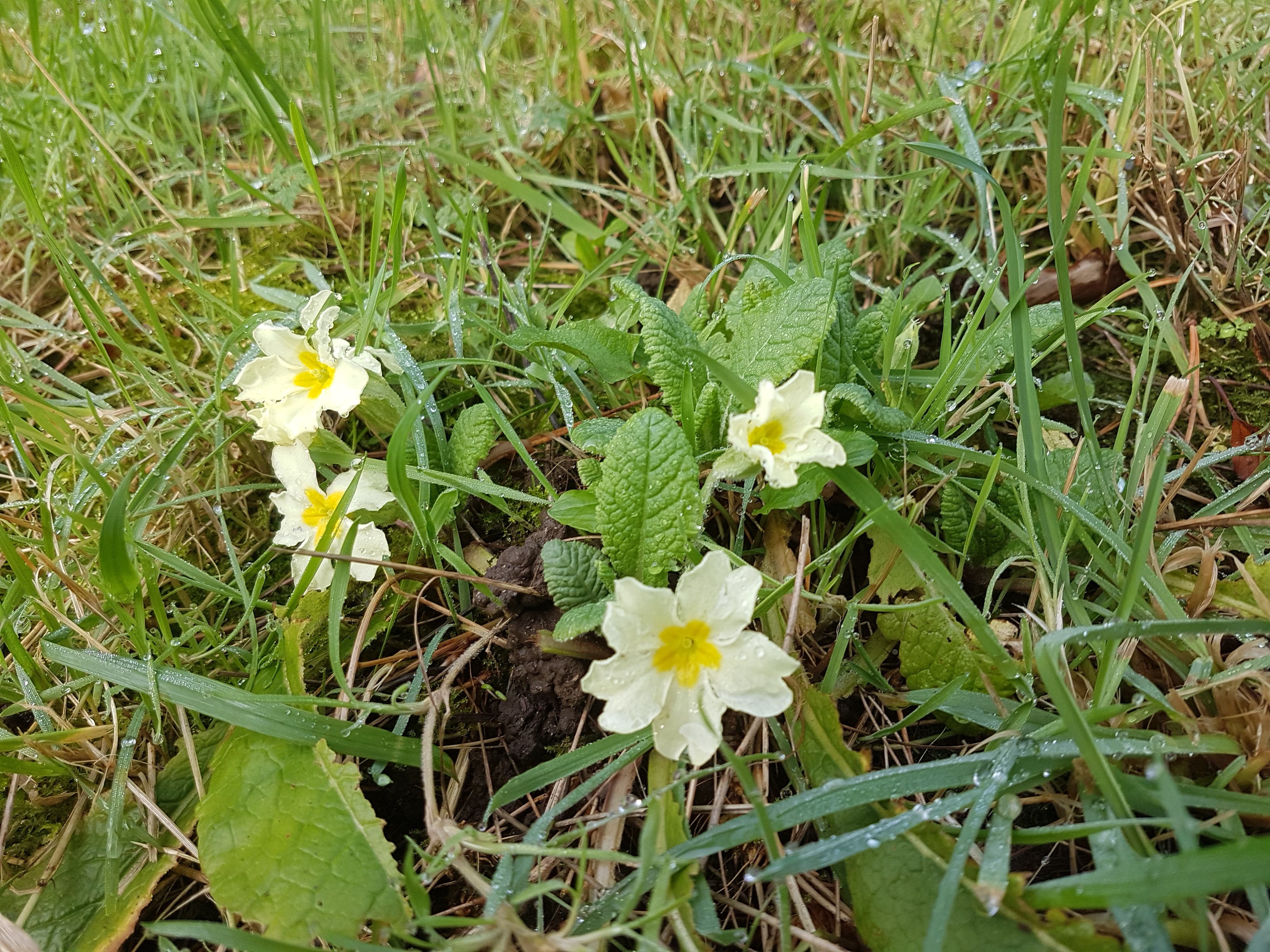
Primroses often appear on a grassy bank along Cove Road in early February, quite a bit earlier than they are found elsewhere. But this winter, they started to flower before Christmas. I’m always intrigued to see what I can find in flower at the turn of the year, since it’s often a much greater variety of plants than you might expect.
Looking at my photos, I found Stinking Hellebore, which is not that surprising, but also garden roses, Welsh Poppies, Geraniums and Ox-eye Daisies, none of which you’d really expect in late December.
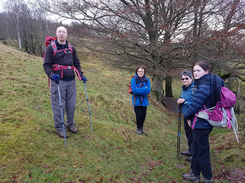
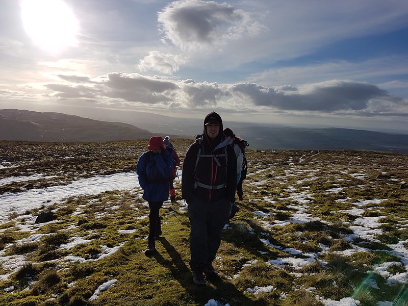
The weekend before Christmas, when we would, in normal circumstances, be gathered together for a wet weekend of overeating, anecdote bingo, and maybe a bit of walking. Obviously that couldn’t happen last year. At least we could meet up for a walk. Sadly, the Surfnslide crew were self-isolating and weren’t able to join us.
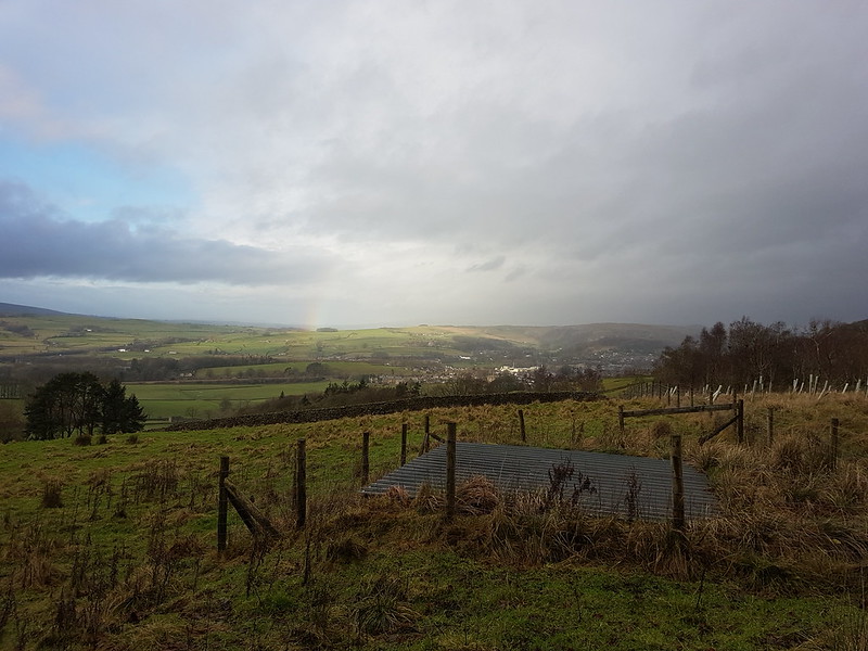
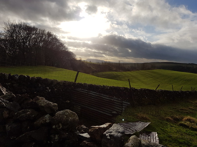
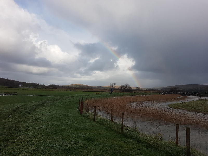
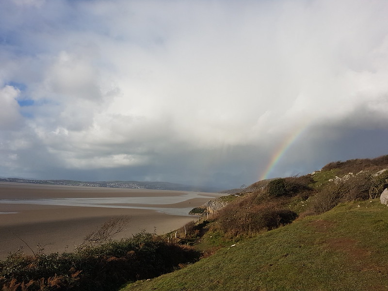
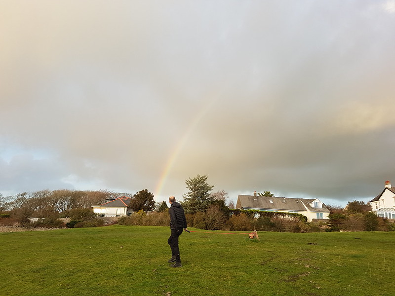
Rainbow over Settle. Glad I got that sheet of corrugated iron in the foreground!
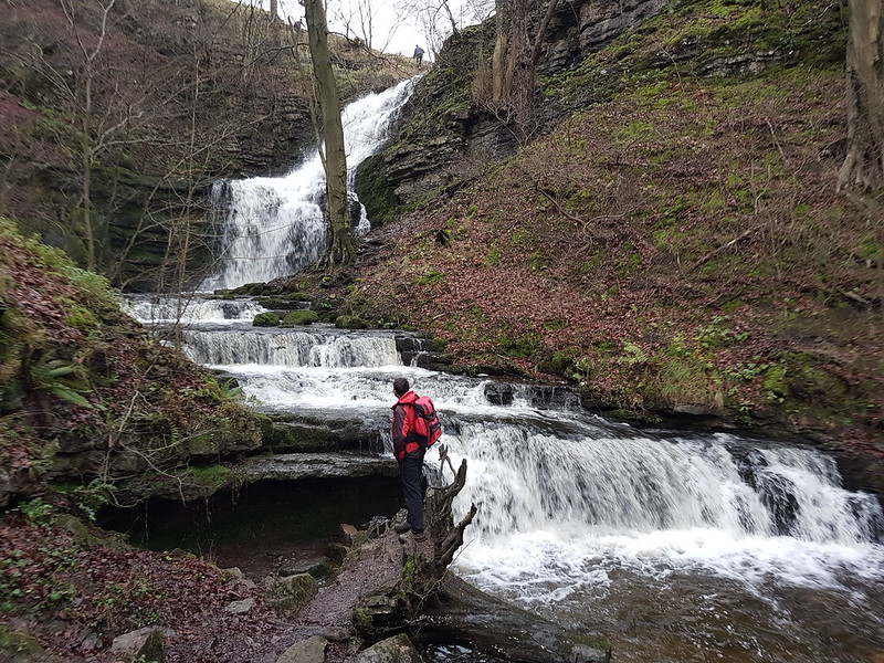
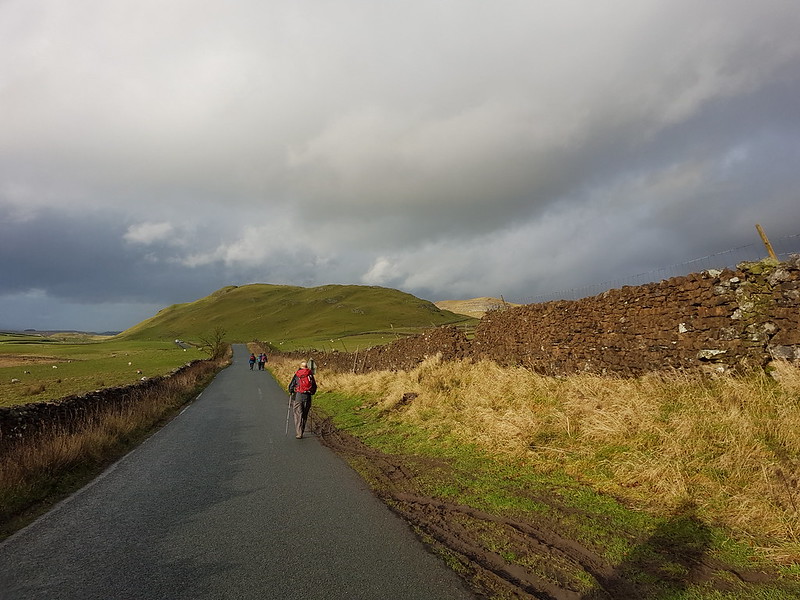
We met in Settle with a view to climb Warrendale Knotts. I suggested we divert slightly from our planned itinerary to take a look at Scaleber Force…
Scaleber Force.
I’d noticed that a small section of woodland here is access land, and that a right-of-way drops down to the bottom of the falls and then abruptly stops.
The EWO and Scaleber Force.
I think you’ll agree, it was worth a little out-and-back along a minor lane to see it. We found a likely spot, out of the wind, for an early lunch spot, thinking shelter might be at a premium later in the walk. Naturally, once we’d settled down, it began to rain. This seems to have been a recurring theme when we’ve met for walks of late.
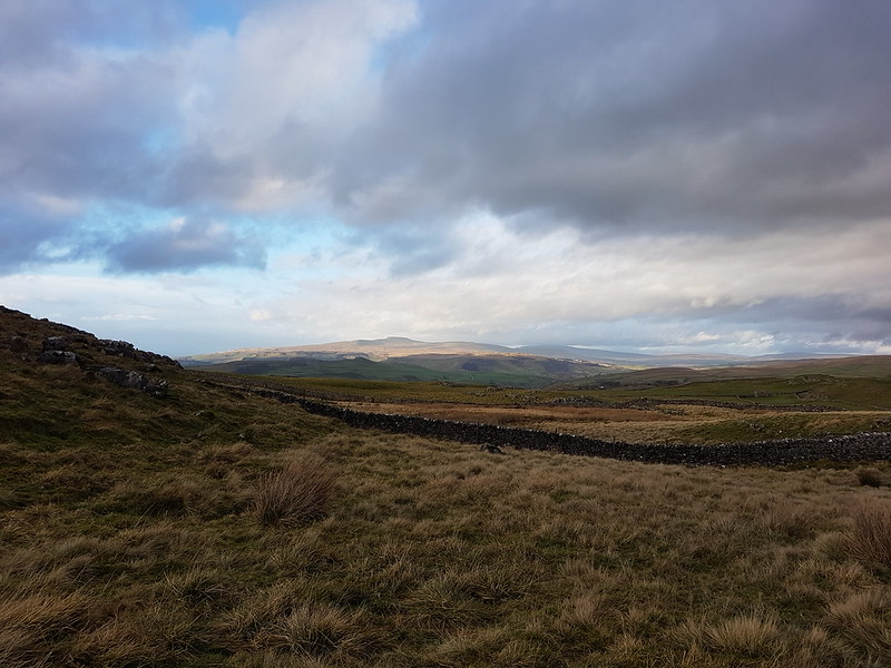
Pendle Hill. Plus more corrugated iron.High Hill Lane – that’s High Hill straight ahead.
It brightened up and we had a lovely sunny spell back along High Hill Lane.
But it was soon grey and wet again. It was that sort of day.
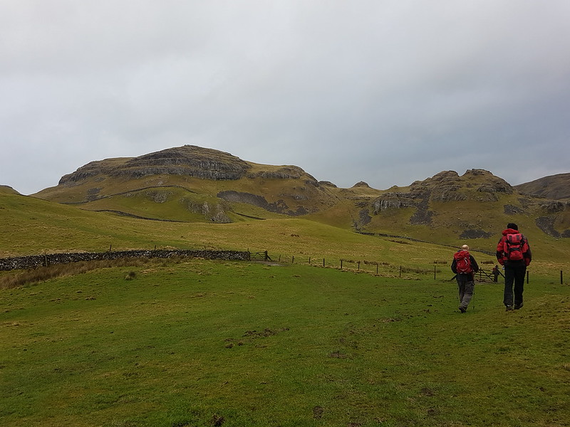
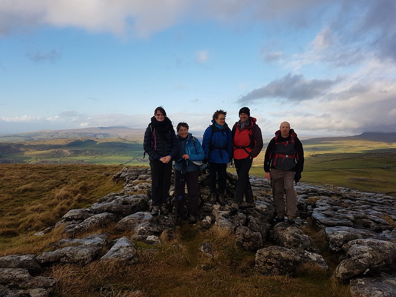
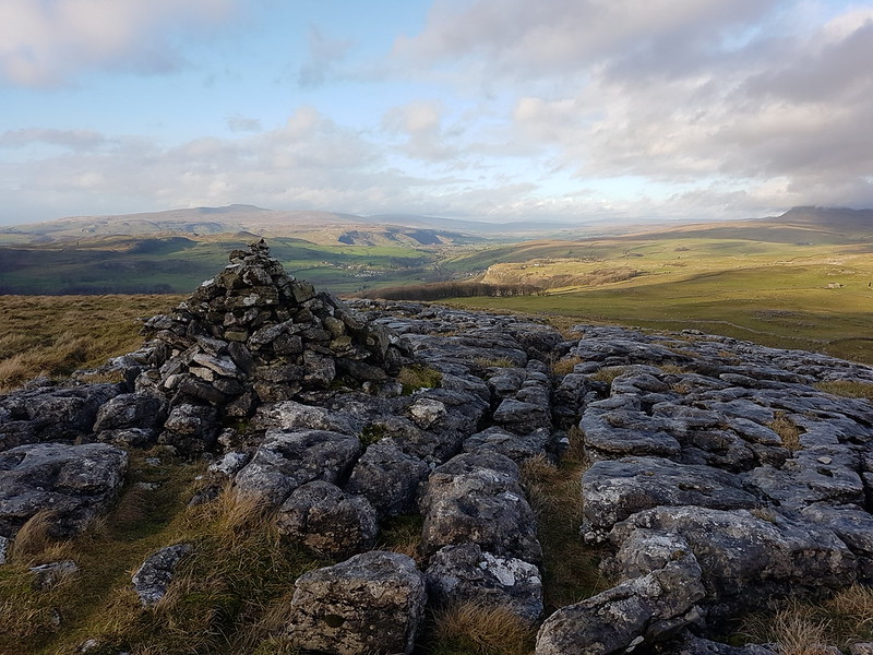
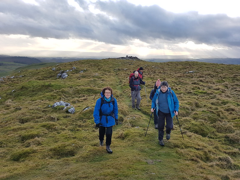
Warrendale Knotts.
The route we took up Warrendale Knotts proved to be ridiculously steep near the top, but it was well worth the effort…
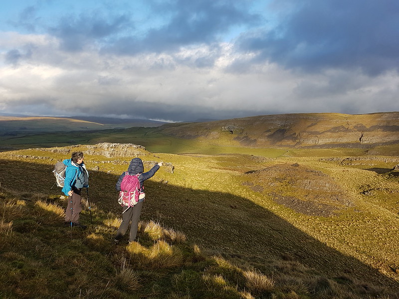
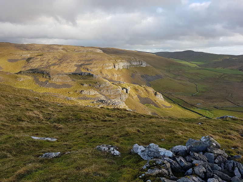
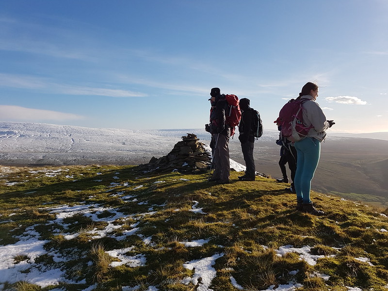
Attermire Scar from Warrendale Knotts. The distant big hole in the middle of the picture is Victoria Cave.On Warrendale Knotts.
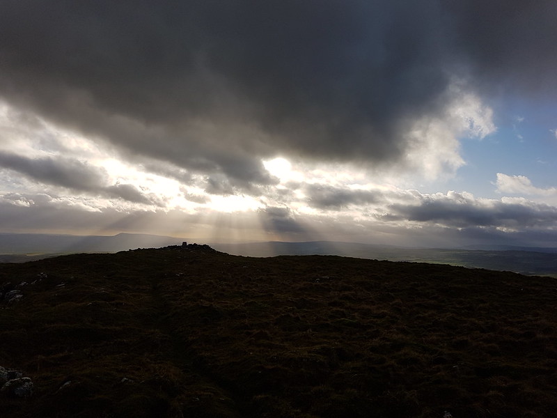
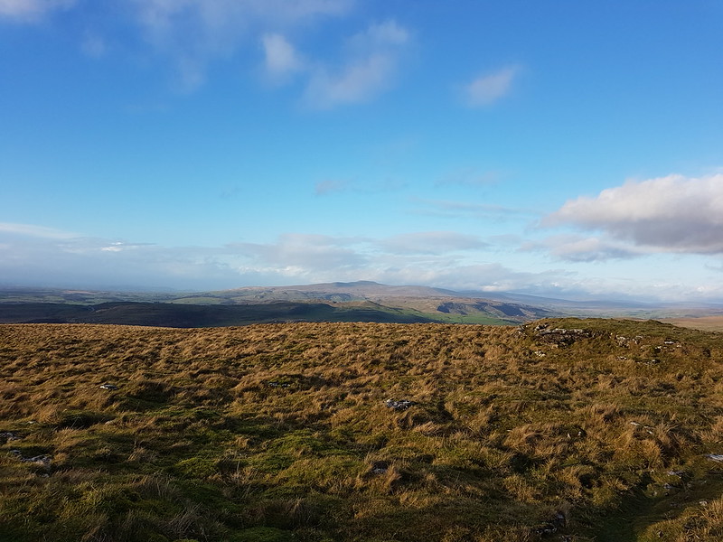
We spent quite some time on this modest top. It was very windy, but with the clouds scudding across the views were constantly changing and very dramatic.
Crepuscular Rays.Warrendale Knotts and Attermire Scar. Rye Loaf Hill on the right.Pen-y-ghentPen-y-ghent and one of the cairns on Warrendale Knotts. Is that Fountains Fell in the cloud on the right?Leaving the top.
Eventually, we had to move on. In fact, the Cheshire contingent had some pressing engagement and we chose to walk with them, initially at least, and so by-passed Victoria Cave.
Another view of Pen-y-ghent.
The weather deteriorated again, but the Adopted Yorkshire Woman assured us that she remembered a shelter, or possibly a cave, in the vicinity of Jubilee Cave, which would be kitted out with comfortable benches and provide a pleasant dry spot for another lunch stop. Sadly, it never materialised. Hard words may have been spoken about the vividness of the AYW’s imagination.
Jubilee Cave.
AT Jubilee Cave, the Cheshire crew left us to take a direct route back to Settle, whilst the remainder of our small party returned to Settle via Winskill and Langcliffe. That’s a very pleasant route, but I didn’t take any more photos, because the rain returned and this time it meant business. We did enjoy a brief dry spell and had a hurried stop in order to drain the dregs from our flasks, but by the time we reached the cars it was chucking it down. A small price to pay for a terrific walk though.
The day before this walk I uninstalled and reinstalled MapMyWalk. It worked, so here’s the resultant map. I think the numbers are kilometres, although the 4 and 6 seem a bit odd?Warrendale Knotts, not named on the OS 1:50,000 is the trig pillar with a psot height of 440m.
I’ve never climbed Warrendale Knotts before, and I still haven’t been up Rye Loaf Hill. Looking at the map of the Dales, it also occurs to me that I haven’t been up Great Shunner Fell or Buckden Pike or Fountains Fell since the mid-eighties. Which seems criminal given that they’re all relatively close to home. Aside from the Three Peaks area, the closest bit to home, I’ve been neglecting the Dales. I have a lot of exploring to do!
Photos from three consecutive weekend’s walks around Jenny Brown’s.
This first set are a bit odd, because there’s plenty of blue sky over the Bay, but it’s grey inland and the light is very flat.
Must have been a Sunday morning walk, which is generally when TBH and I chose to have a wander together.
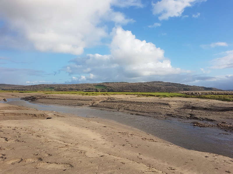
We finished across the sands, which we didn’t often do, and they weren’t quite as firm and dry as we’d anticipated, but firm enough, fortunately – no quicksand drama to report! Hard to tell in the photos, but the Coniston Fells had a covering of snow.
This photo…
…on the other hand, was clearly from a late afternoon walk; the warm light is a giveaway.
I remember this walk well. Unusually, I was on my own, I don’t remember why.
I finished across the sands again and, even close in shore, being out there on a winter afternoon as the light faded and the lights around The Bay came on, felt quite wild and special.
Finally, one photo from another rainy walk around the point. On our regular walks we’d watched Quicksand Pool undercut the high far bank of the channel. We’d often hear the clump and splash of a section falling away. It was interesting to see, each week, how the bank and the channel had changed.
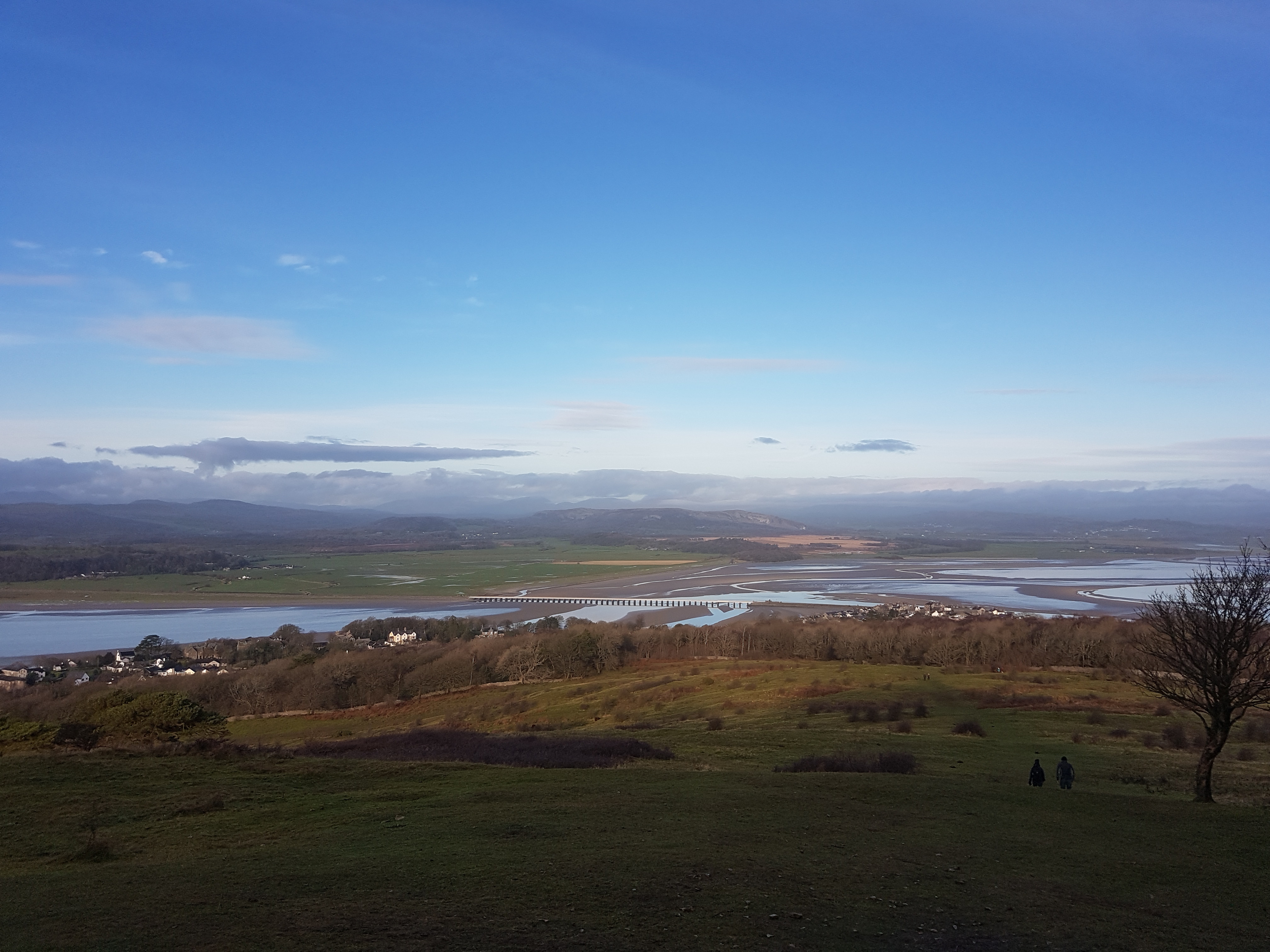
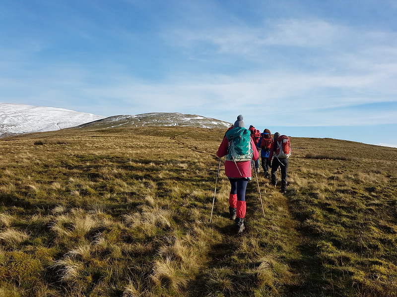
The title says it all really. The restrictions were relaxed, some meeting up outdoors was allowed again – at last. So we arranged to meet in Barbon for a walk.
Barbon Church
Despite having the least far to travel, we were, inevitably, the last to arrive. Or we would have been, had not the Yorkshire contingent parked in Barbondale, near Blindbeck Bridge I think. Somehow, for reasons I never quite fathomed, this was my fault. Not to worry, we were eventually assembled and ready to embark.
Incidentally, A had driven us to Barbon and would later drive back too. One unexpected consequence of the lockdowns has been that she hasn’t been able to have many driving lessons, so it’s fallen to me to teach her. It was a bit nerve-racking at first, but ultimately, a nice way to spend time together. Hopefully, she’ll soon manage to get a test booked.
Waxcaps
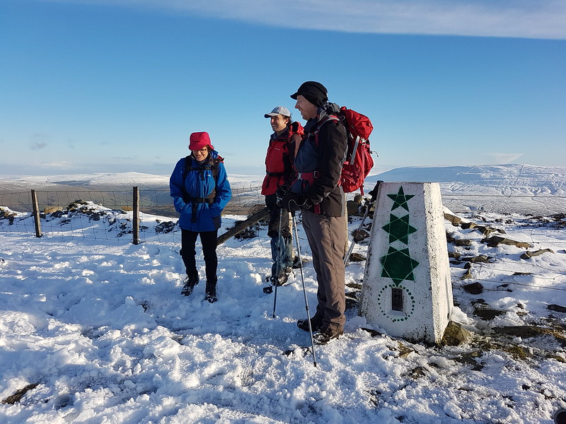
Our route took us to the highest point in the Middleton Fells, Calf Top, and then back by the same route. (An alternative plan to drop down into Barbondale and return that way was abandoned because the sun was shining and leaving the ridge would have meant dropping into shadow, which seemed a shame.)
Waxcaps?
The grassy, lower slopes of Eskholme Pike were decorated with lots of colourful Waxcaps. And also clumps of yellow stalks. I couldn’t decide whether they were also Waxcaps, perhaps in a more or less advanced stage of their life-cycle?
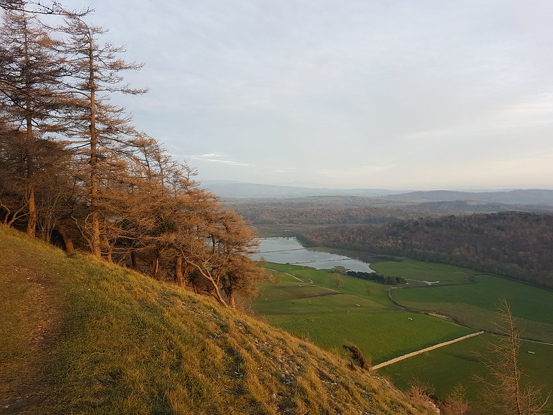
Across the Lune Valley. Lakeland Fells on the horizon. Howgills top right.Thorn Moor
The Middleton Fells give easy walking, without any particularly steep climbs, and expansive views.
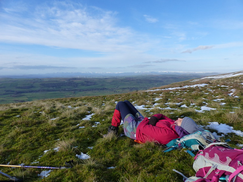
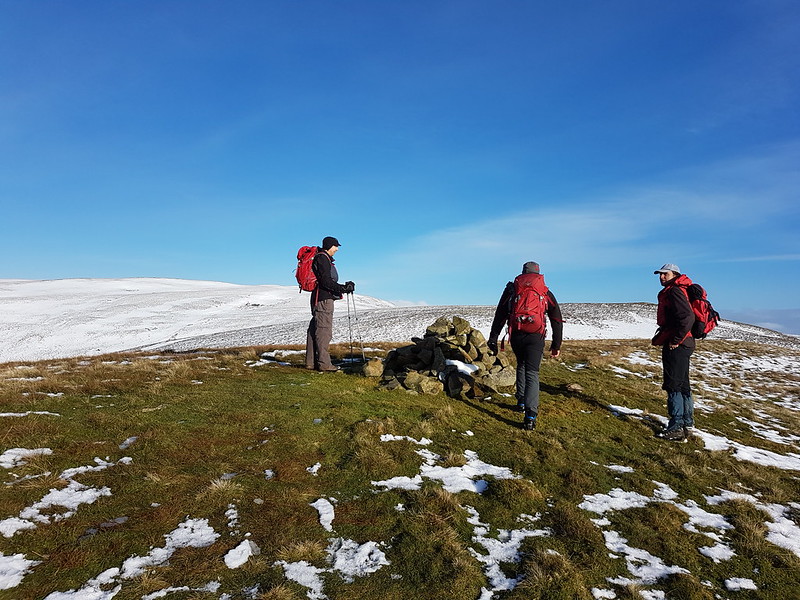
TBH takes a nap. Snow-capped Lakeland Fells in the distance.Crag Hill.Professor Longhair leads the way.Calf Top from Castle Knott.Looking over Howegill Head to the distant Lakeland Fells.On Castle Knott.A negotiates a boggy bit.Looking back to Castle Knott.Crag Hill. Whernside in the background (I think).Nearing the top.The HowgillsTBH next to the (unusually) decorated trig pillar.Looking down to the Lune valley.Retracing our steps from the top.Eskholme Pike……good place for a very belated lunch and brew.
It would have been a good day’s walking in any circumstances, but throw in the opportunity to see friends with whom we’d missed several regular annual get-togethers, and the fact that I’d not ventured off home territory much for some months and this became a really special day out. When we said our goodbyes, we agreed not to wait too long before we met for another walk.
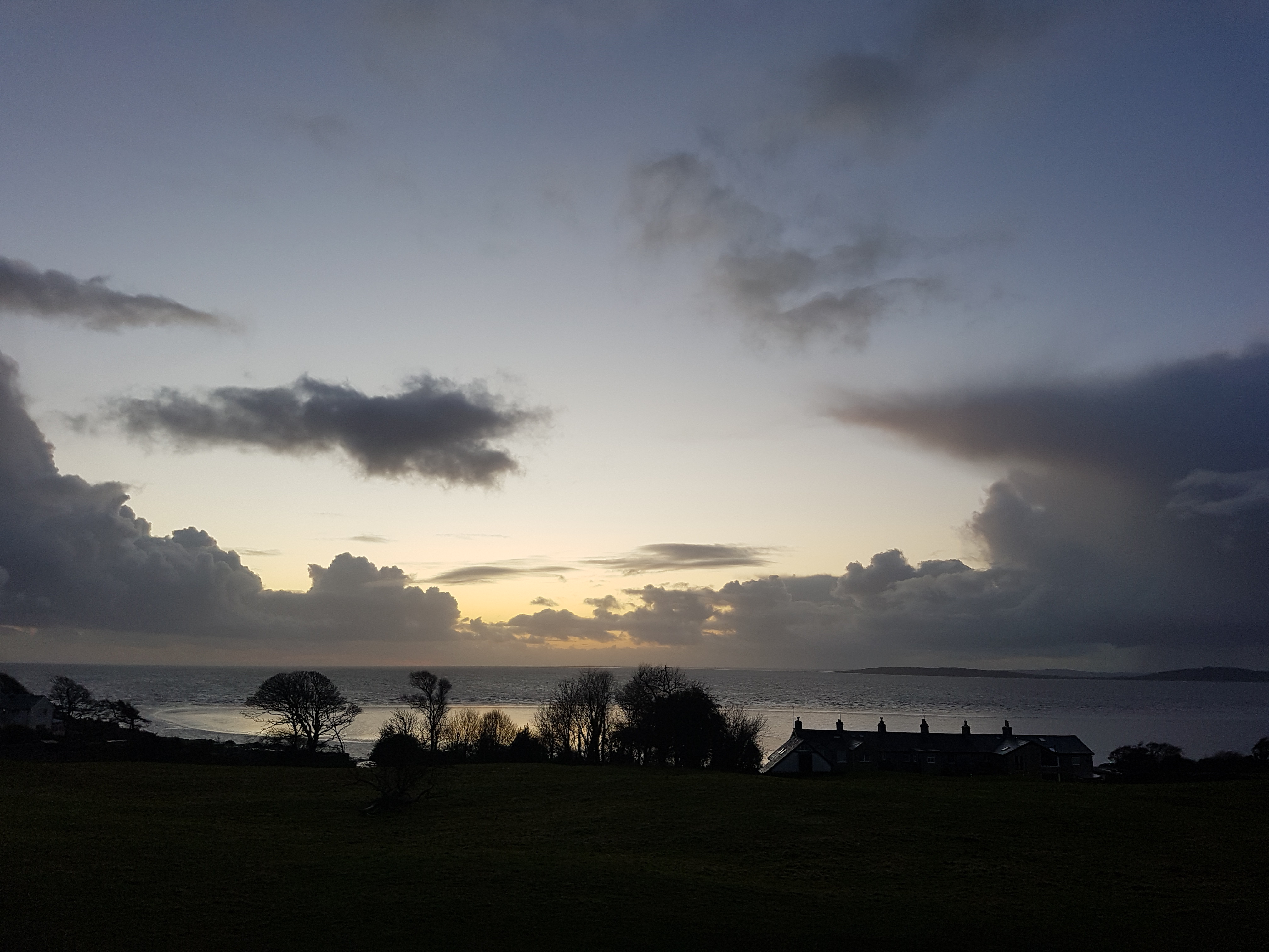
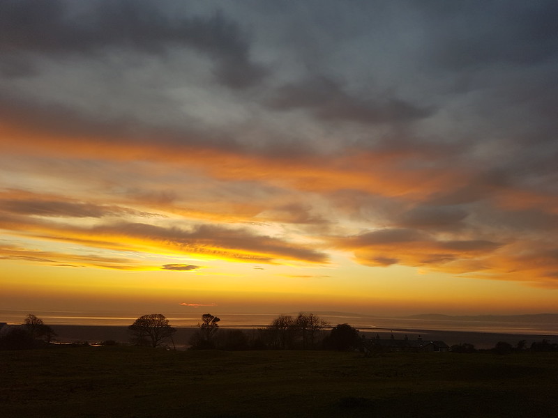
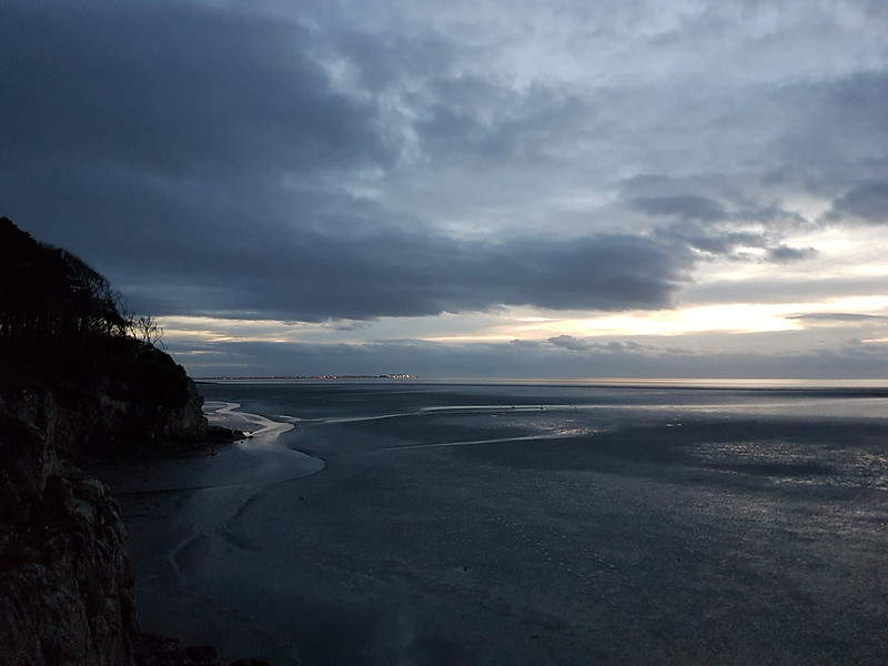
Sunset from The CovePost sunset light from The Lots
People were going further afield for their daily exercise. I knew this. Every day we drove past the Eaves Wood car park and it was full. I could read about it on blogs. People I met on my walks recounted trips to the Dales and the Lakes.
Post sunset light from The Lots
And I would be doing the same. Soon, very soon.
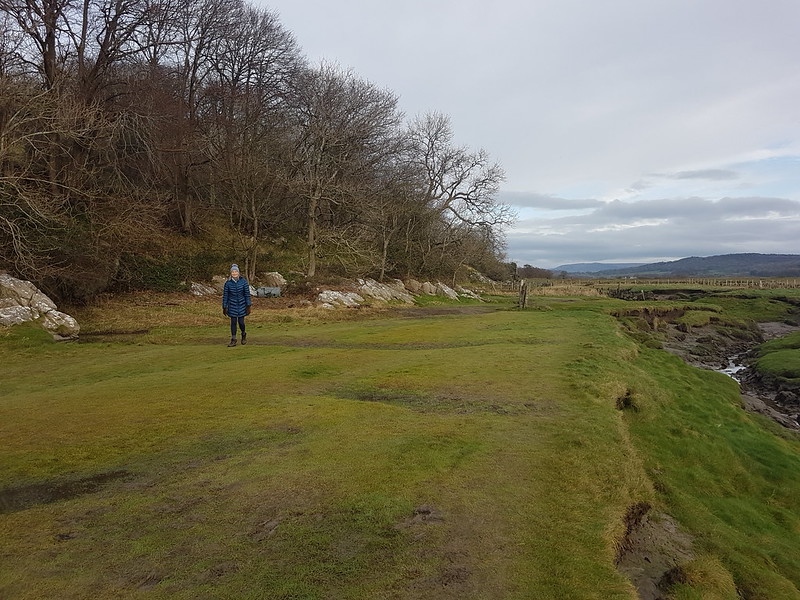
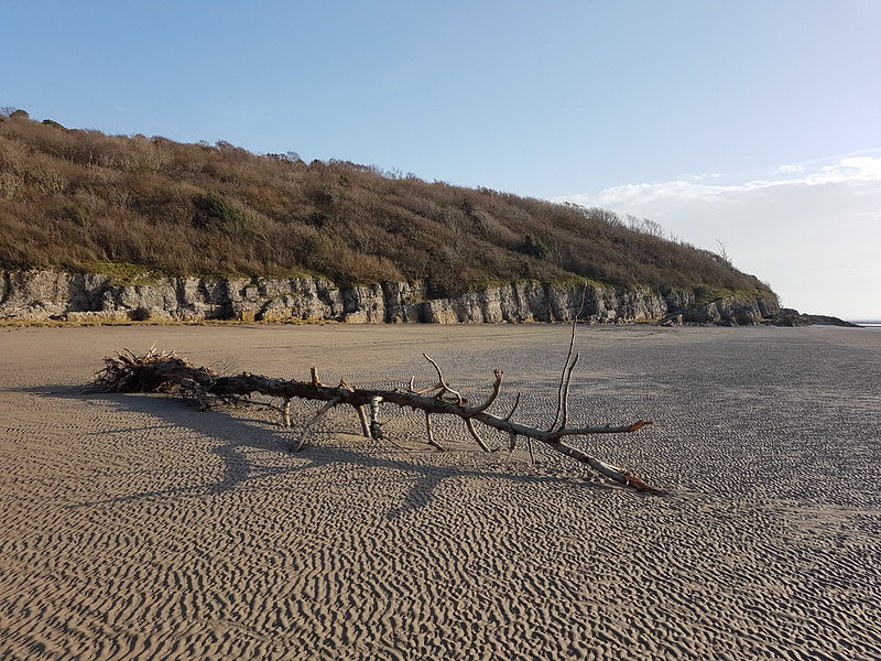
Tree trunk near the mouth of the Kent.
But somehow, I didn’t get around to it.
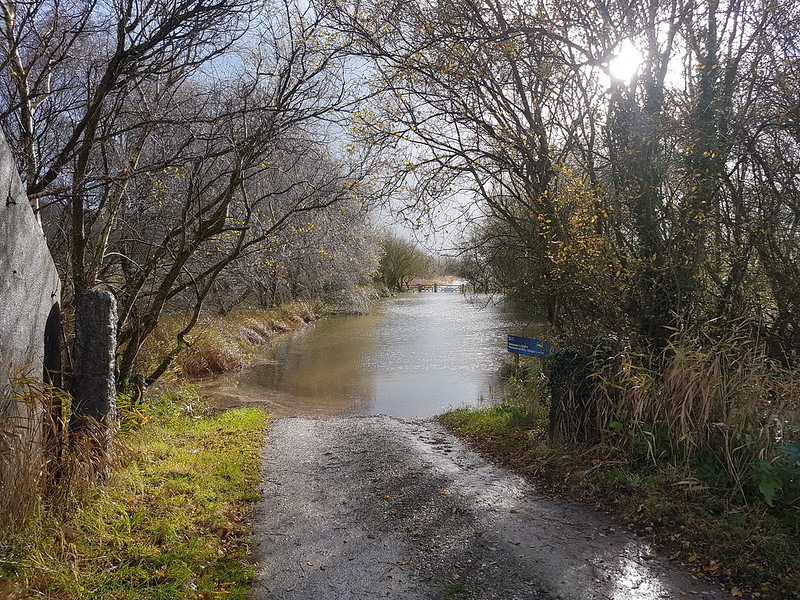
Flooded fields from Arnside Knott
I wasn’t particularly worried about what might happen, or any potential consequences.
Late afternoon skies from Castlebarrow…
I’m a creature of habit. I just seemed to be stuck in a rut of sorts.
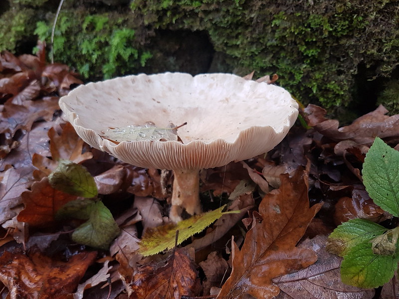
And The Cove.Fungi.
Still, there are worse ruts to be in!
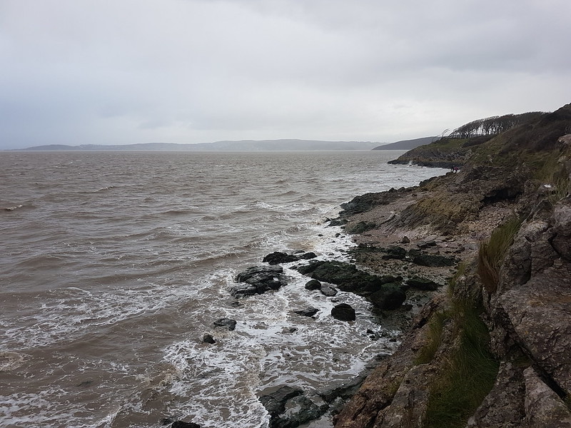
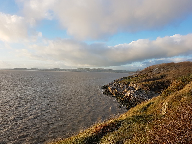
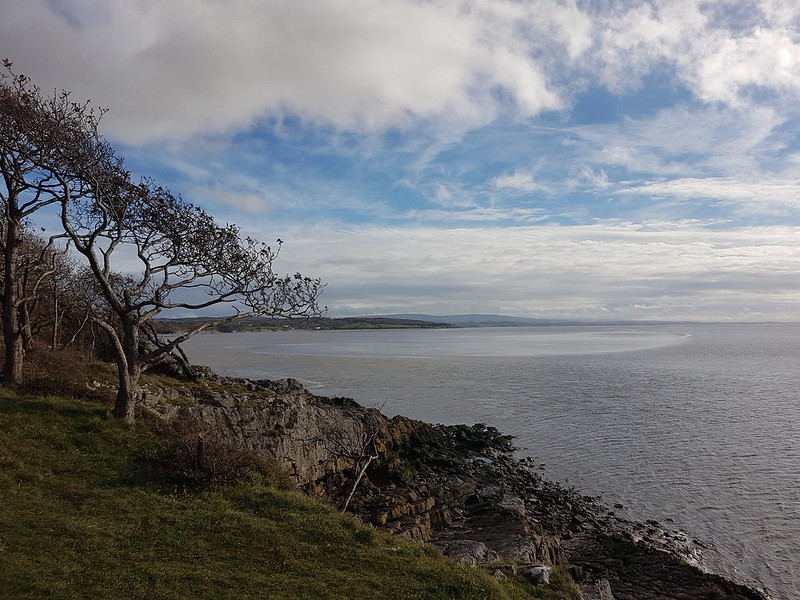
I was still getting out a lot. Frequent visits to The Cove, The Pepper Pot, and around Jenny Brown’s Point, usually with TBH.
The weather was a bit mixed, to say the least.
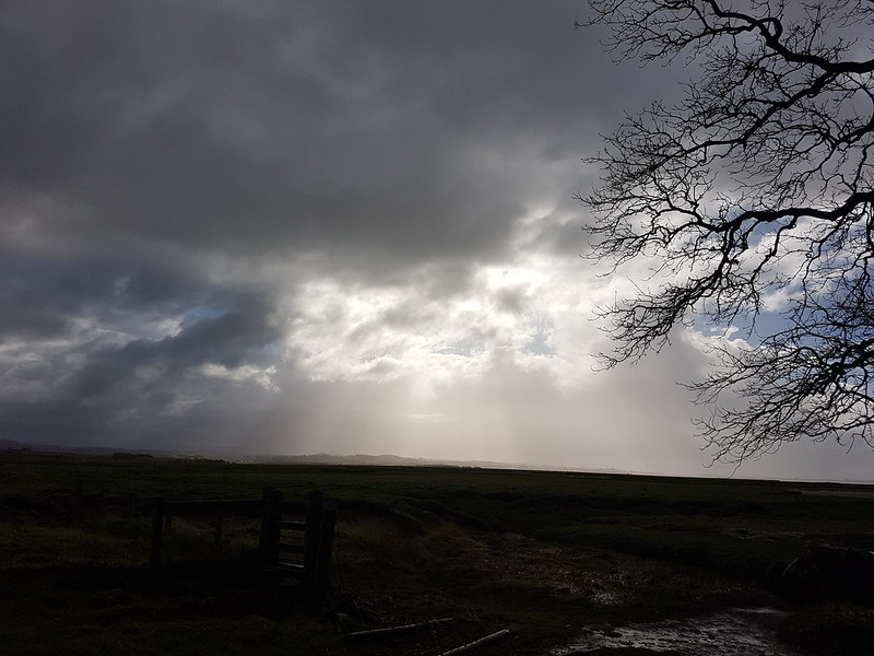
“See that storm over yonder, it’s gonna rain all day.”
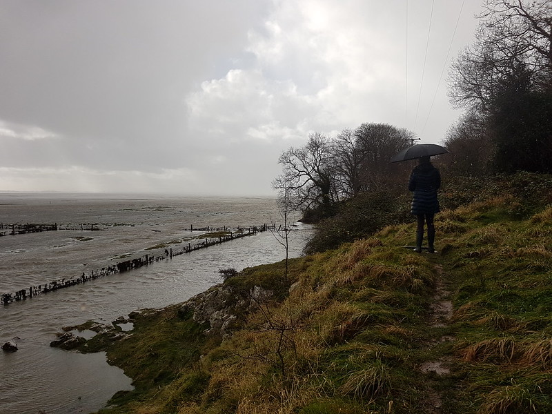
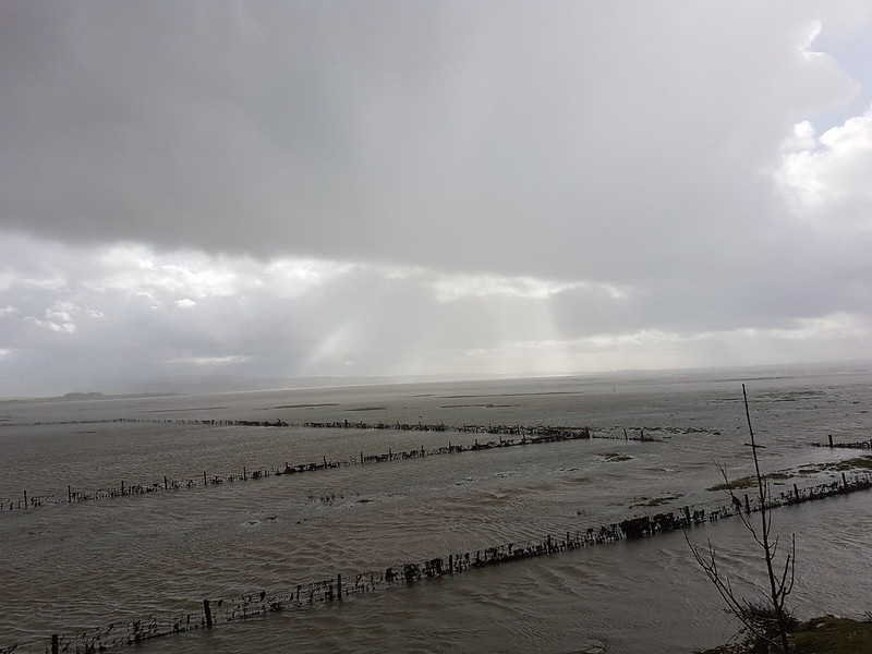
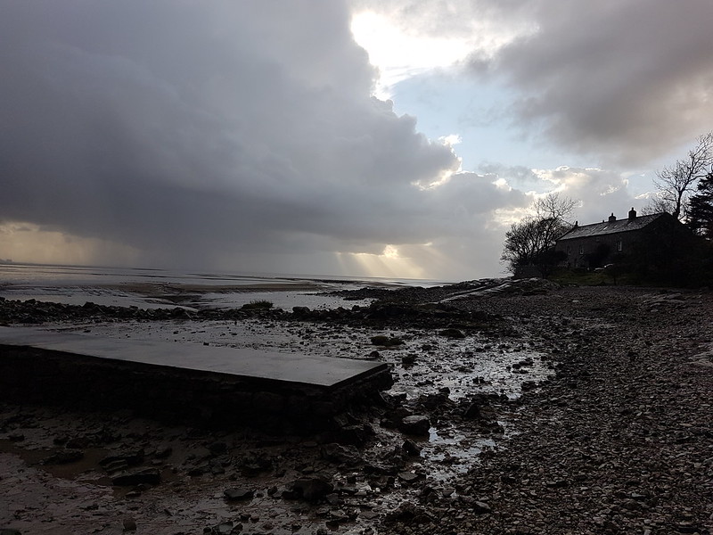
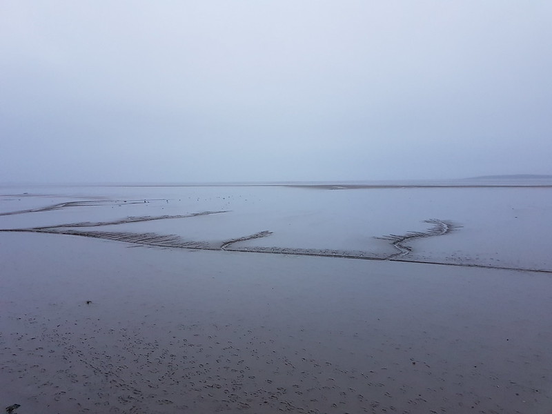
This was a memorable walk. The tide was exceptionally high. So much so that we had to turn back and couldn’t get around Jenny Brown’s because the the salt marsh was inundated.
All of this is usually green!
It was also very windy and squally, with very heavy showers.
We walked across Quaker’s Stang which was completely exposed to the wind off the sea, and made for very bracing walking.
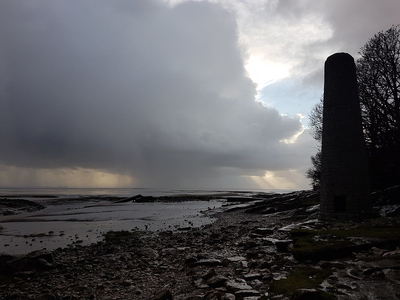
The RSPB car park for Allan and Morecambe hides was flooded.More fungi.Waves (of a fashion) at Jack Scout.The lights of Heysham and Morecambe from The Cove.Another high tide at Jack Scout.The salt marsh when it isn’t underwater! Warton Crag behind.Warton Crag again, across Quicksand Pool.Jack Scout Rainbow.Towering cloud catching late light from The Cove.Arnside Prom.
So – I’ve dismissed November with a solitary post again.
What would break my out of my routine? I needed an external stimulus, an intervention you might say…
Here’s something I haven’t done for a while – a tune for the end of the post. I absolute love the interplay of voices on this Levon Helm track….
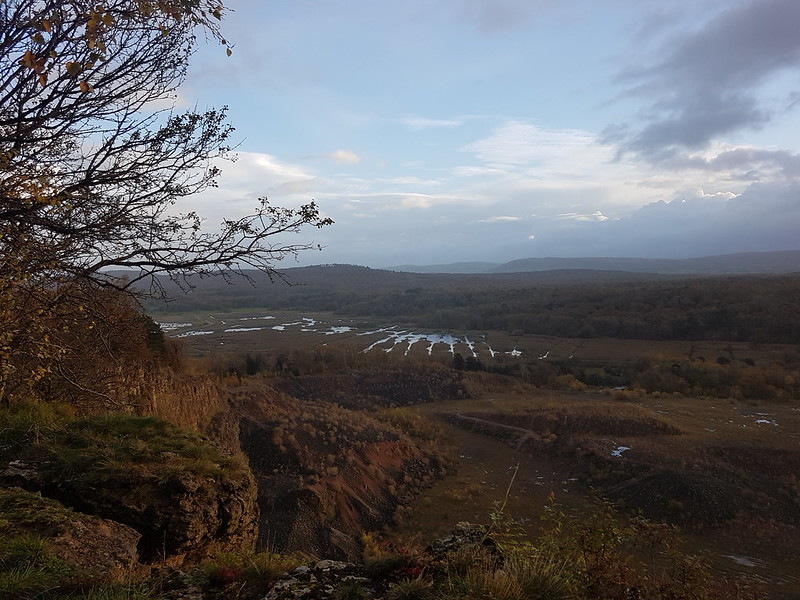
The title pretty much sums it up. Photos from lots of different local walks, taken during the second half of October. I was aware that some people were beginning to travel a little further afield for their exercise, but somehow my own radius of activity seemed to shrink to local favourite spots not too far from the village.
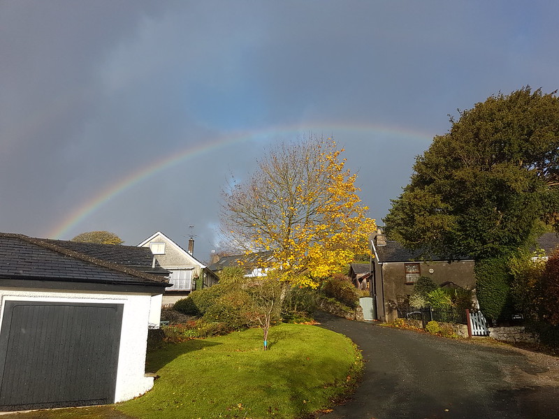
Crepuscular rays on the Bay.Rainbow over The Lots
This is my mate D and his pug. I often meet him when I’m out for a local walk. I think I’ve mentioned before how much bumping into neighbours whilst out and about has helped during the lockdown in all of it guises.
The sun dips towards the sea, from Castle Barrow.
I can’t remember exactly when this happened – let’s assume it was October: I bumped into a chap carrying a fair bit of camera gear in Eaves Wood. He asked if he was going the right way to the Pepper Pot. He was. I saw him again on the top. It turned out he’s working on a book, one in a series, about where to take photos from in the North-West. Based in Lancaster, he’d never been to the Pepper Pot before. Funny how that can happen. Cloud had rolled in and the chances of a decent sunset looked a bit poor. I saw him again, a few weeks later, this time he’d set up his camera and tripod a little further West, in a spot I’d suggested. I hope he got his sunset.
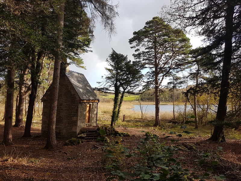
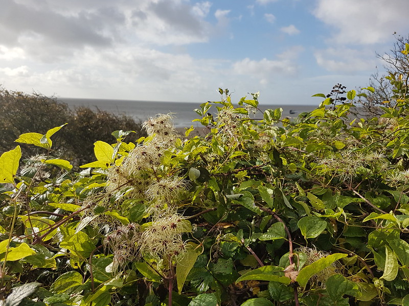
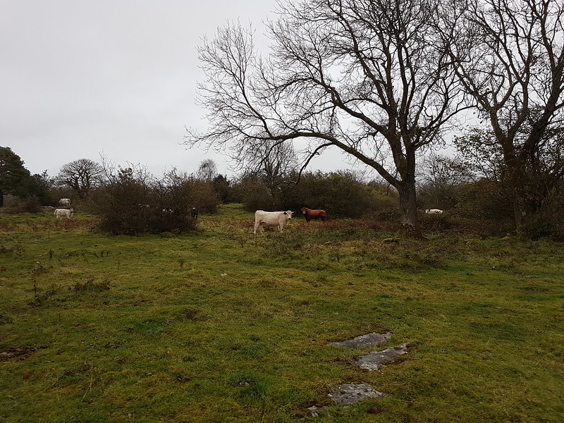
A paper round rainbow. Just prior to a proper drenching.TBH in Eaves Wood.Among all the changes which Natural England have been carrying out at Gait Barrows – raising the water level, felling trees, removing fences, putting up new fences in other places etc, they’ve also renovated this old summer house by Hawes Water. Presently, it’s still locked, but eventually it will be an information centre and a vantage point to look out over the lake.Around this time, TBH started to take a regular weekend walk together around Jenny Brown’s Point. It was interesting to watch the channel from Quicksand Pool change each week and to contrast the weather and the tides each week.Traveller’s Joy by Jenny Brown’s Point.From Castlebarrow, heavy showers tracking in from The Bay.Late sun from Castlebarrow again.The lights of Grange from The Cove.Sunrise from our garden.TBH by the Pepper Pot on Castlebarrow.Post sunset from Castlebarrow.The last of the light from The Cove.Silverdale Moss from the rim of Middlebarrow Quarry. It had just finished raining, or was just about to rain, or probably both.Autumnal birches with a rainbow behind.The Shelter Stone Trowbarrow Quarry.Leighton Moss from Myer’s Allotment.The Copper Smelting Works Chimney near Jenny Brown’s and more heavy showers.Jenny Brown’s Cottages.The Bay from The Cove on a very grey day!Cows in the rain.
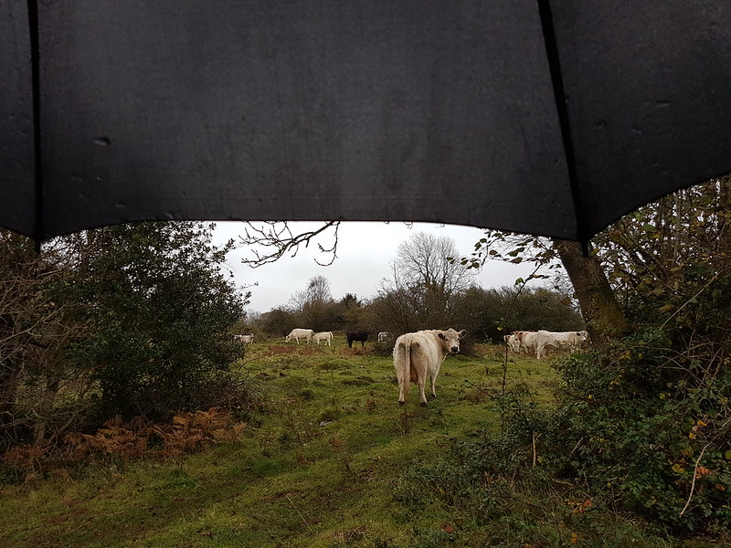
The brown cow at the back here is a bull. I’d walked through the fields on Heald Brow where they were grazing a few times and he’d never batted an eyelid. But on this day he and a few of his harem where stationed in a gateway. I was considering my options and wondering whether to turn back, but when I got within about 50 yards the bull suddenly started to run. At quite a canter. Fortunately, it was away from me and not towards – he was obviously even more of a wuss than me!
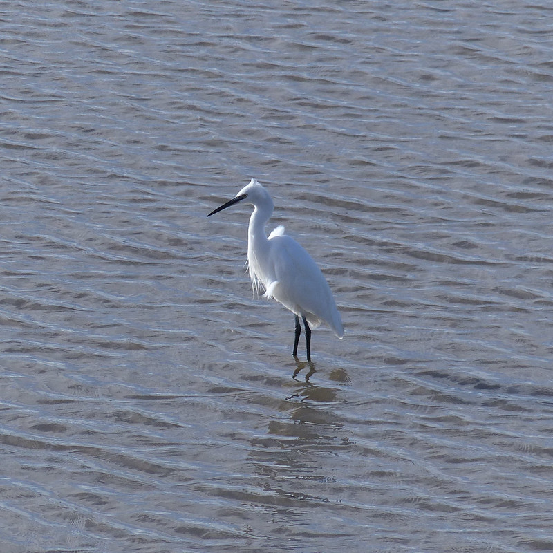
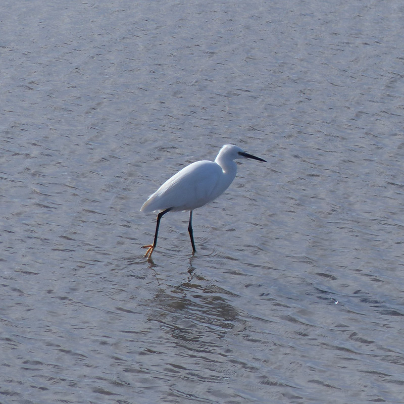
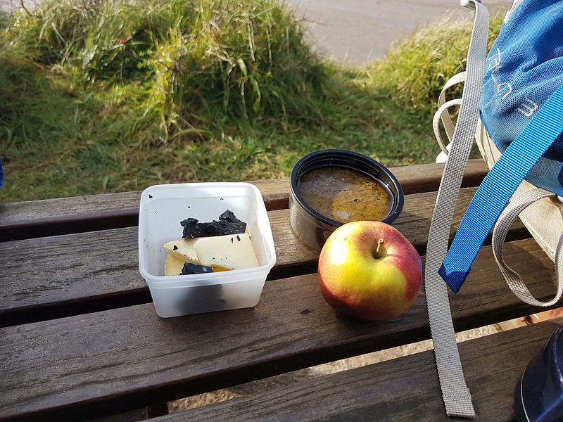
A White-lipped Snail – the rain isn’t universally disliked.Clougha across the Bay.Little Egret.The yellow feet are a good distinguishing feature.Picnic lunch – apple, mushroom soup and a selection of cheeses.
I decided that the best way to make the most of sometimes limited windows at weekends was to head out in the middle of the day and to eat somewhere on my walk. This bench overlooking the Kent Estuary was a particular favourite. Haven’t been there for a while now – must rectify that.
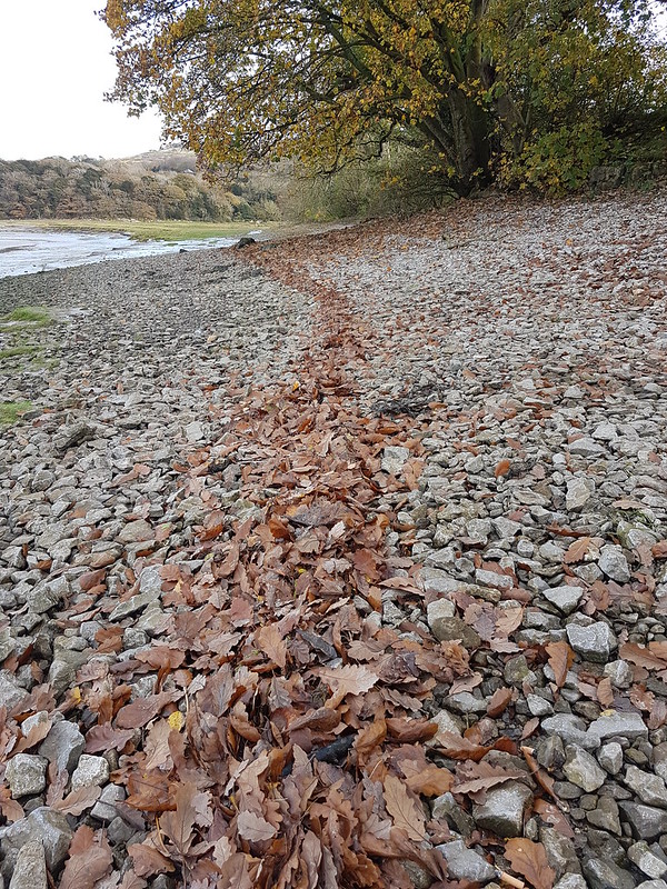
The tide had heaped up fallen leaves in a long sinuous line.Scot’s Pines on Arnside Knott.Birches on Arnside Knott.Whitbarrow from Arnside Knott.River Kent from Arnside Knott.A flooded Silverdale Moss from Arnside Knott.Ingleborough in the backgroundArnside Tower.Clouds catching late light.
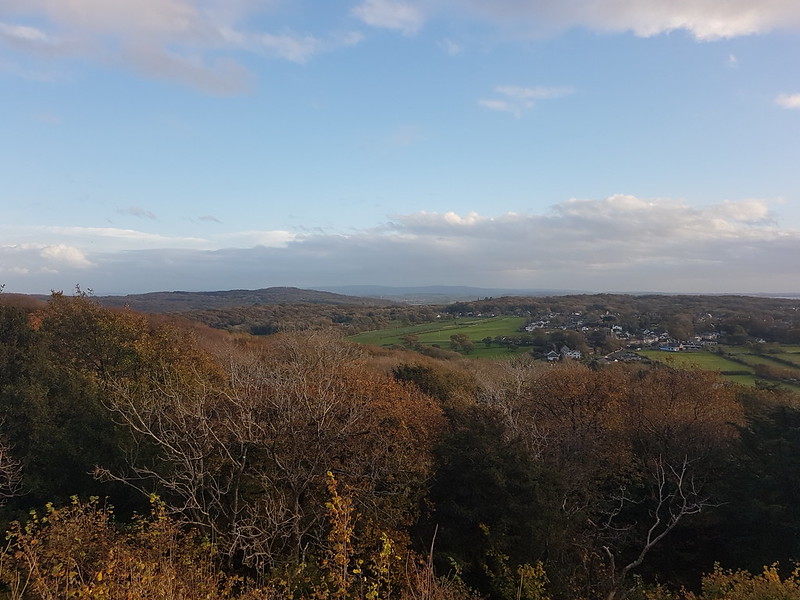
No really, I’m not kidding, there is a hill called Nicky Nook. Just a small hill (215m); a sort of foothill to the Bowland Fells, which aren’t all that big themselves (not height wise anyway). Small enough, in fact, to be perfect for a Friday night post work walk in mid-October when the evening light is fairly short-lived.
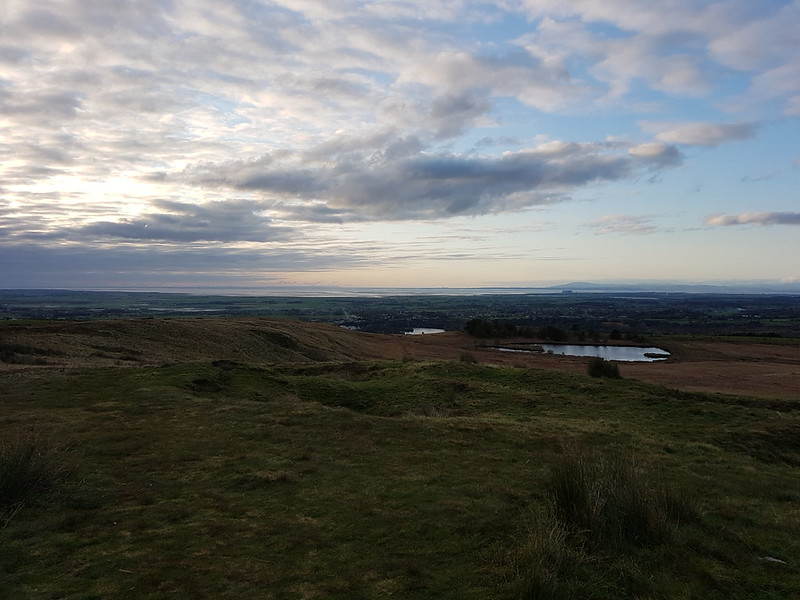
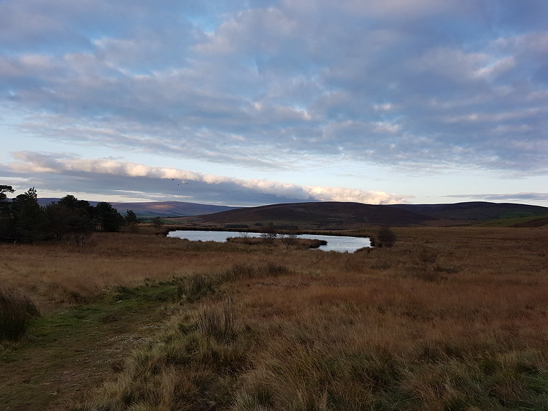
Grizedale Reservoir.Looking over the Bay. Black Coombe in the distance. Wyresdale lake and Scorton Lake in the middle distance.Imaginatively named ‘The Tarn’.
I’ve been up there once before, many, many years ago, helping a friend to celebrate a birthday as I recall. Must be more than twenty years ago. I’d forgotten how good the views are. A Small Hill with Disproportionately Magnificent Views – one for the book Andy. It’s a shame that the light was going when I reached the top. I shall have to come back another time. Damn! (Spoiler alert – I already did. Expect a post sometime before 2030)
Oh, the route: park on the minor road west of The Kennels. Walk along the road to Slean End, up Grize Dale to the reservoir, up the hill and back down to the car. Simple.