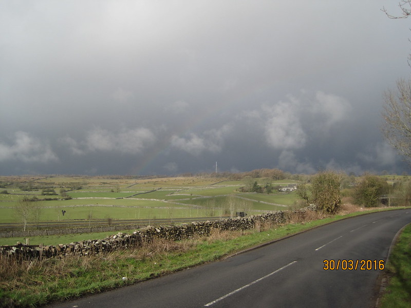
Contrary to the impression perhaps conveyed above, Wednesday morning arrived bright and sunny and we were soon engaged in the long climb out of Kendal. There were several paths we could have taken, but we chose the Underbarrow road because it has the advantage of a bridge over the busy A591 dual carriageway. Soon after we’d left the Auld Grey Town, dark skies and a rainbow ahead heralded the imminent arrival of a short, sharp shower. It didn’t last long, and by the time we were turning off onto Gamblesmire Lane blue sky and sunshine were reasserting themselves.
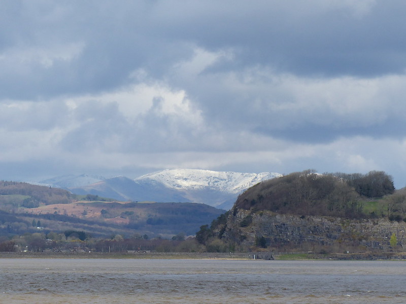
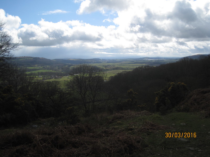
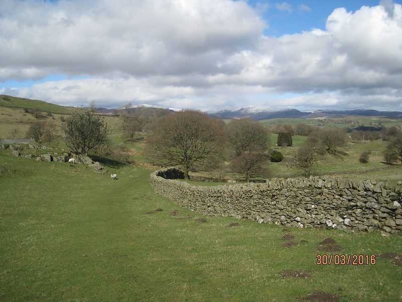
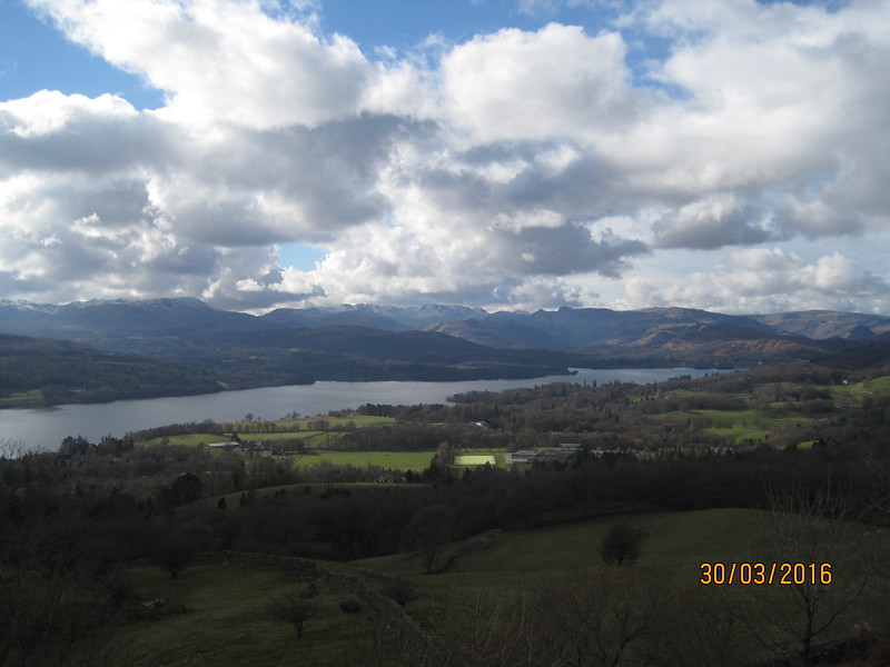
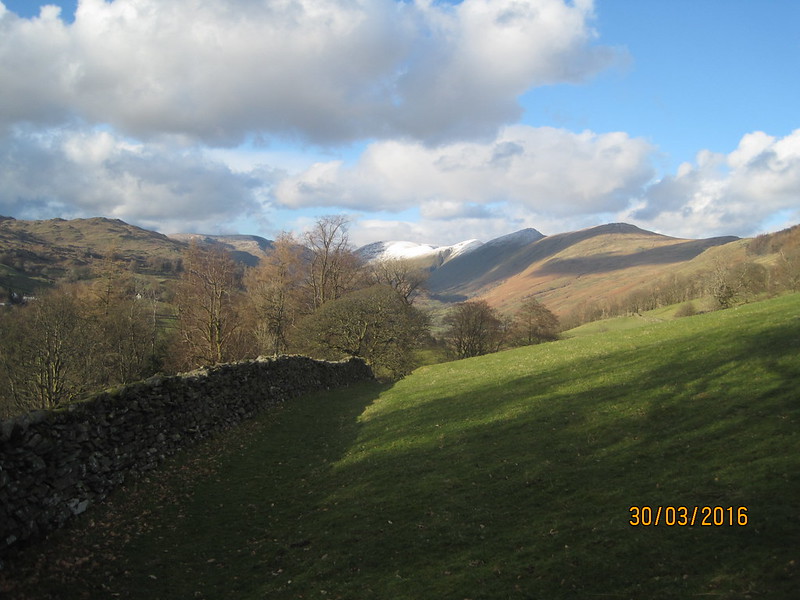
The Lane passes through a gap in Cunswick Scar and from the high ground there we had our first view of snow-capped Lakeland Fells.
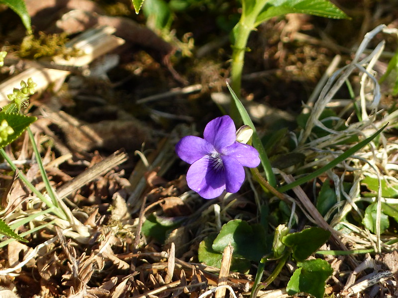
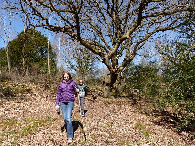
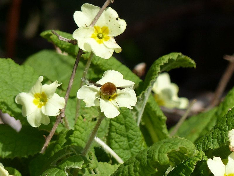
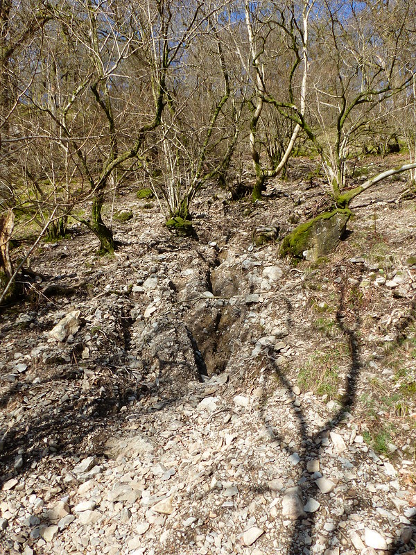
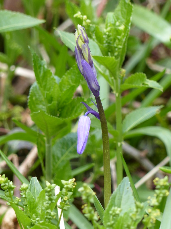
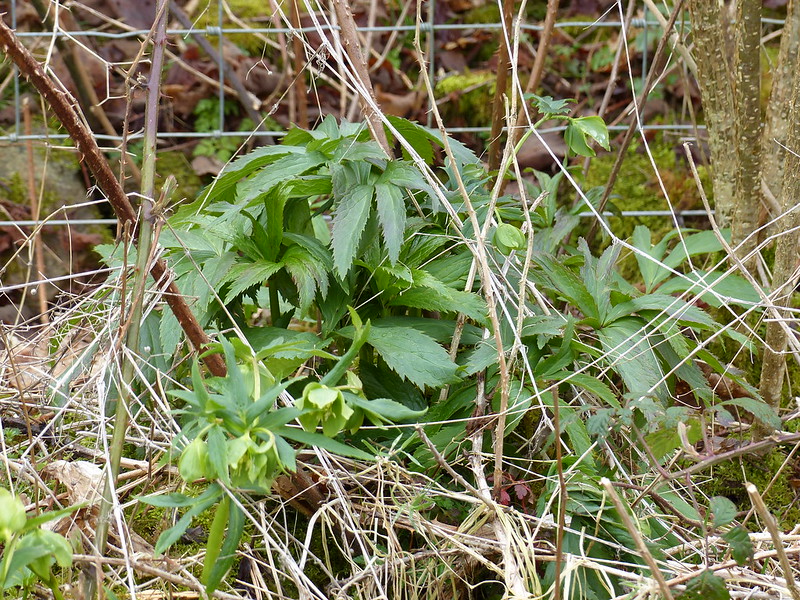
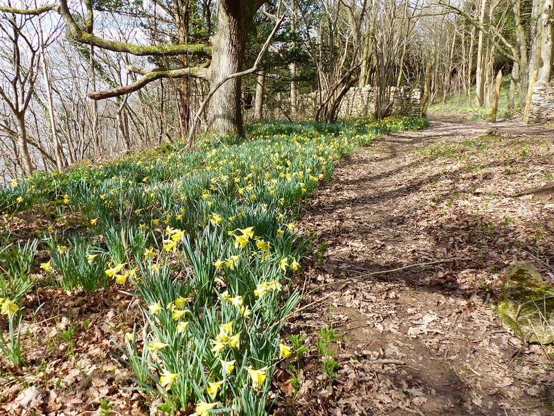
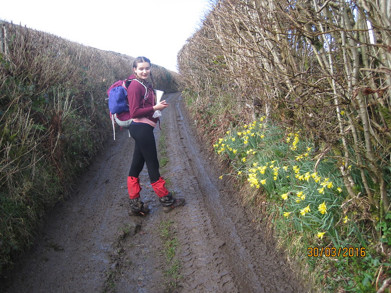
Beyond Cunswick Hall the Lane passes through a copse and then briefly becomes a holloway. The daffodils impressed A almost as much as the depth and consistency of the mud on the track.
“Hang on, I want to take a photo of the mud”
Maybe she wanted to be able to impress her friends with how much she had suffered?
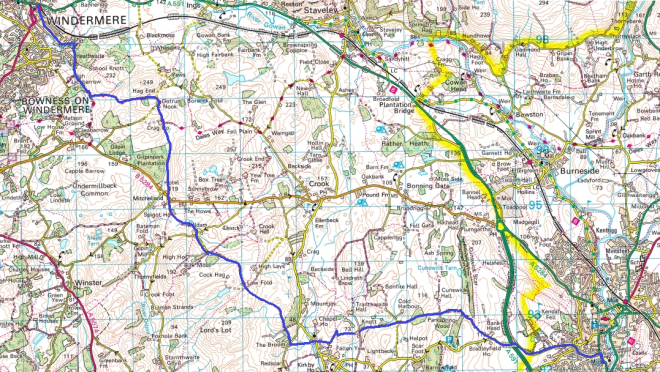
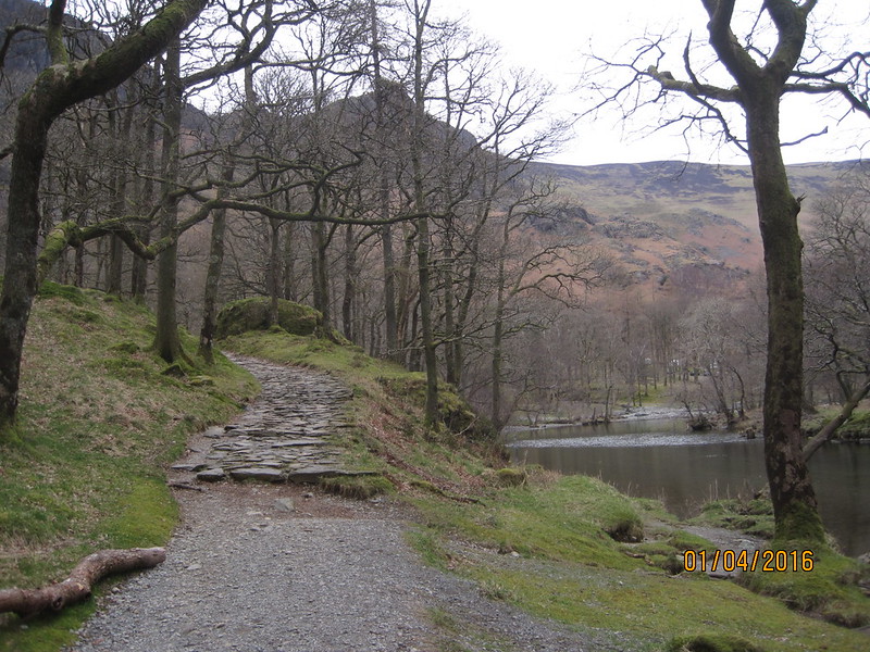
I know that I’ve probably ranted about this before, but this area is hugely under-rated for walking. Were it anywhere but in the shadow of the higher Lakeland hills, I’m sure that it would also be a tourist trap, and would be much better appreciated. The whole day was delightful, but until we were close to Windermere we saw no other walkers at all. The route, should you want to follow it, continues past Nook Farm, skirts the Northern edge of Underbarrow (close to the church) – where we wasted a fair bit of time due to some navigational muppetry, entirely my fault, I should add, partly due to a stile being well hidden by a dense thicket of shrubs (that’s my excuse anyway) – from there we passed The Broom, Mountjoy Wood, Low Fold, Brow Head and Mildam, Spigot House, followed the edge of Gilpinpark Plantation and then joined the Dales Way into Windermere.
But I’ve got ahead of myself. Rain seemed likely as we passed behind Nook Farm, but the threat was short-lived and by the time we reached The Broom…
…where there was a helicopter in the garden…
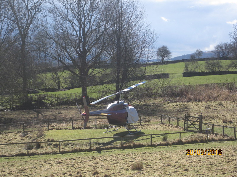
…the sun was actually beginning to provide some tangible warmth.
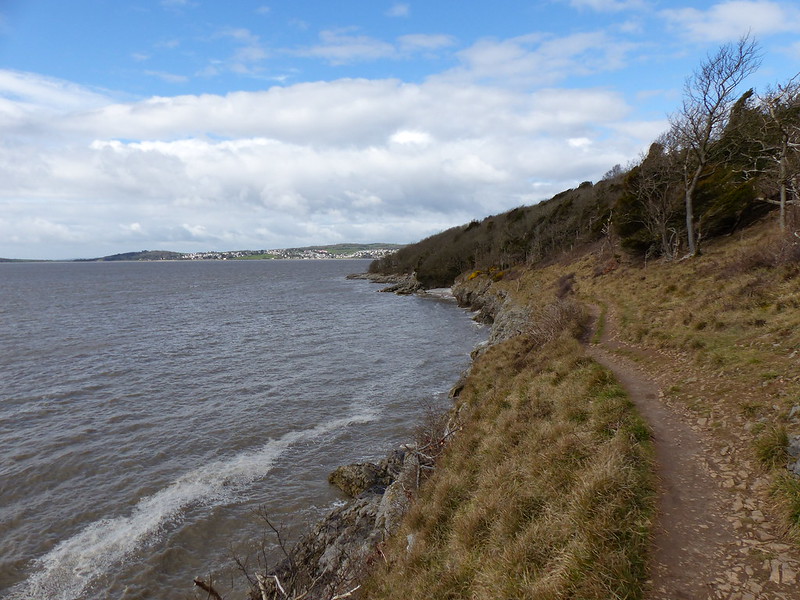
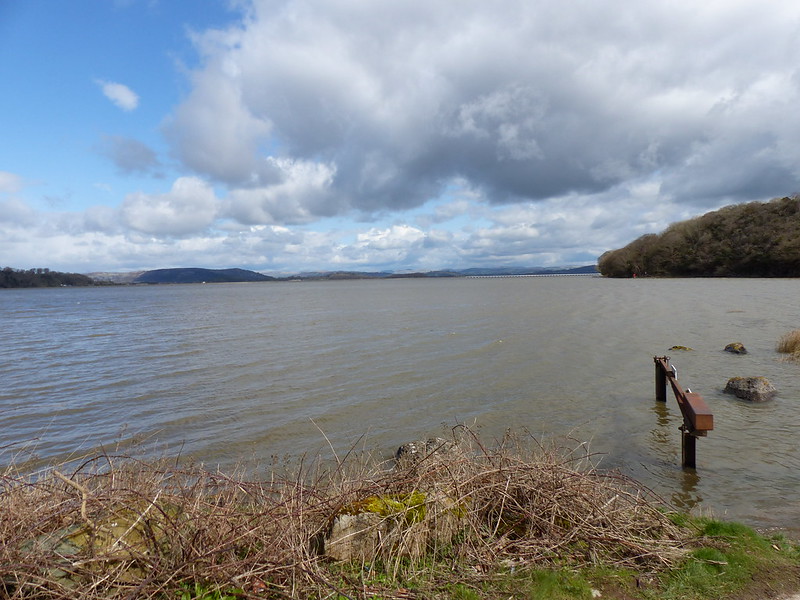
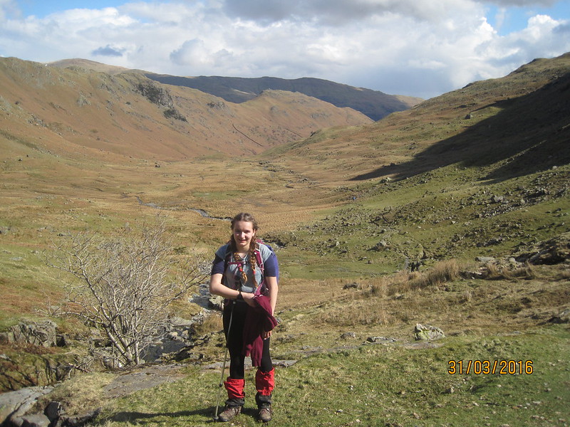
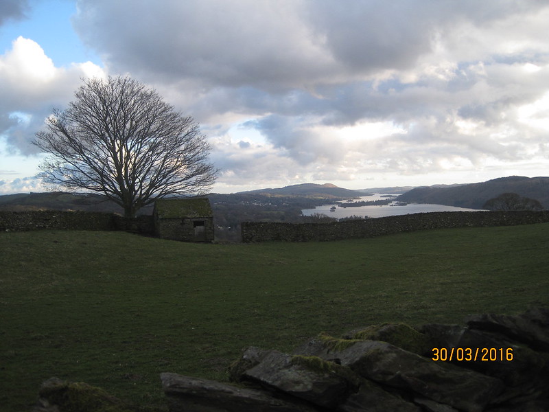
As we climbed beside Mountjoy Wood we could see back to Scout Scar, but also to the Kent Estuary and beyond. A was impressed:
“Is that Arnside Knott? Blimey, we’ve walked a really long way!”.
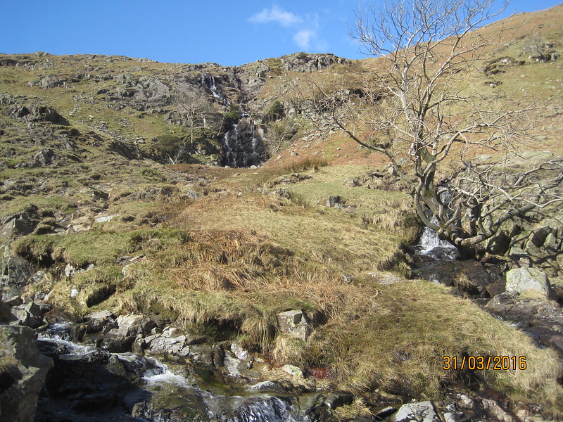
We stopped briefly for A to hurriedly consume some lunch, the rush being because we could see the next shower approaching. When it came, it was hail and briefly quite fierce.
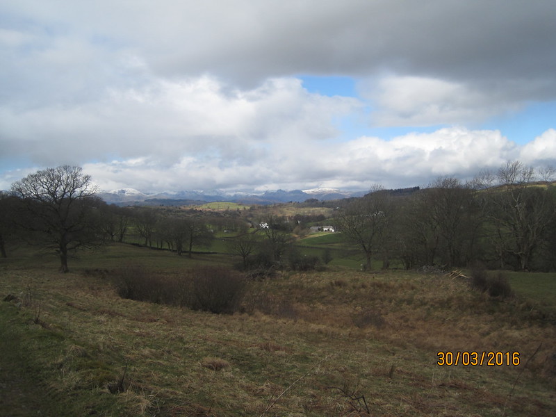
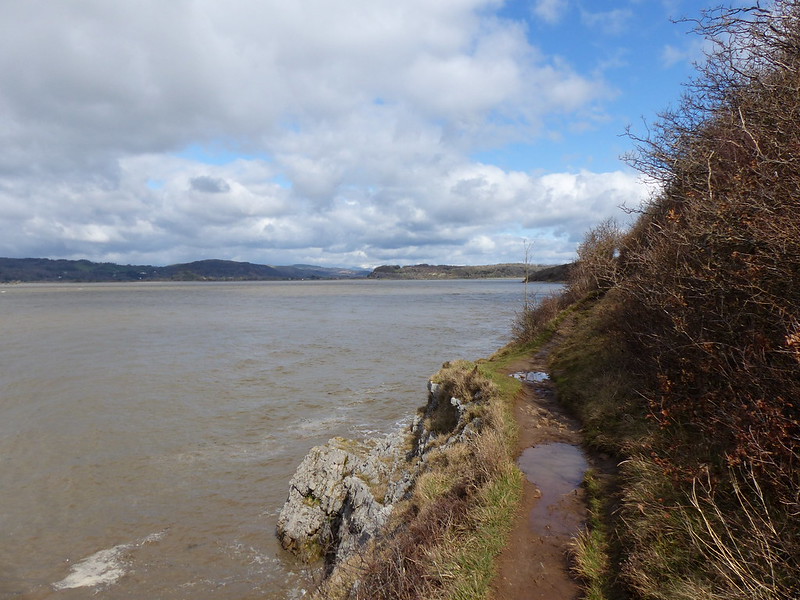
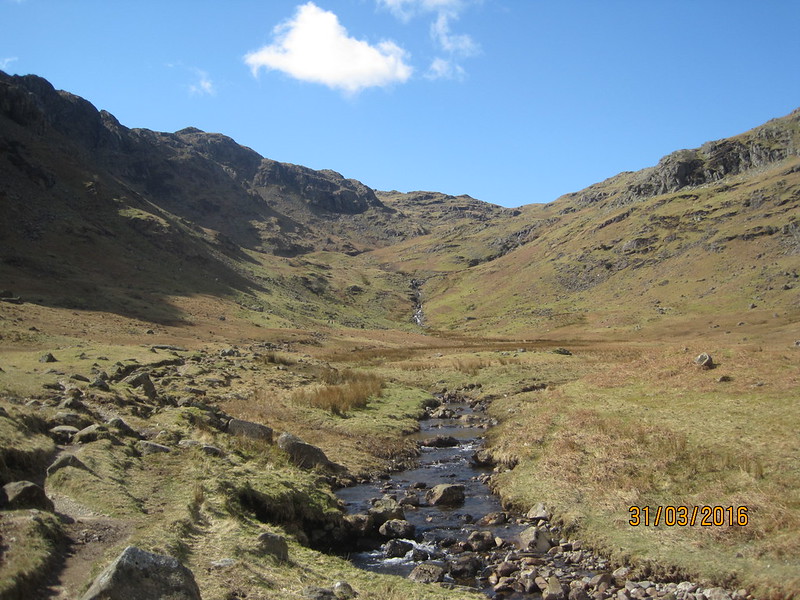
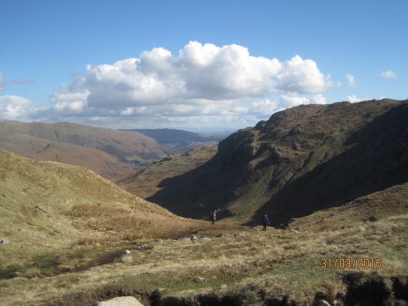
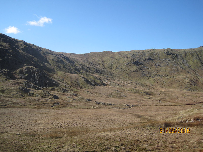
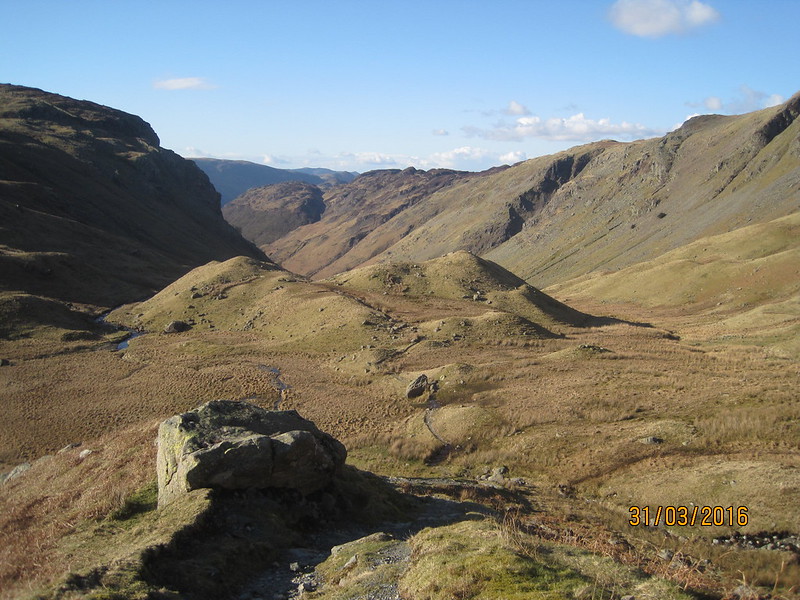
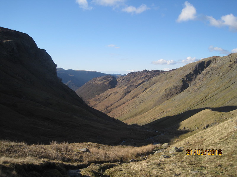
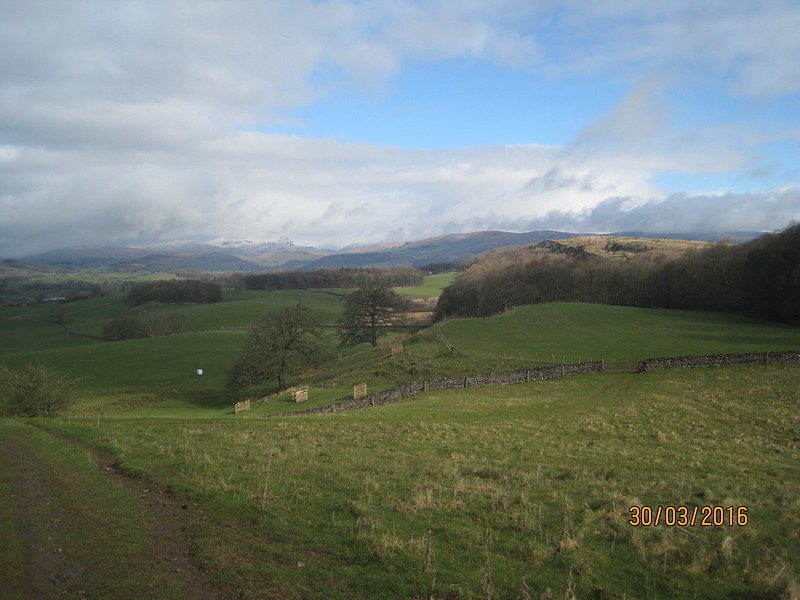
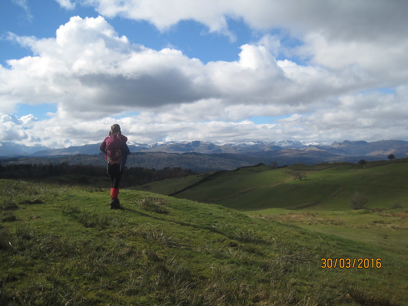
Our route seemed to be running against the grain of the land; it was definitely a day of up-hill and down-dale. Still, the mountains were growing ever closer and kept luring us on.
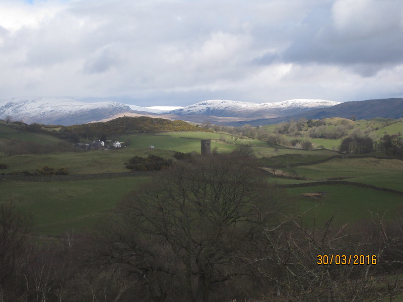
The tower is all that remains of the original St. Catherine’s Church which served Crook Hall from around 1620.
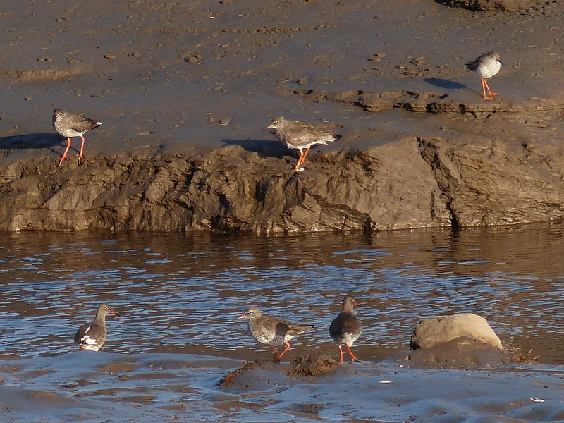
On an island in a small fishery pond near Milldam, a heron stood so still and so close that I eventually broke the spell by wondering aloud whether it was a model sited to discourage actual herons from raiding fish stocks. Whereupon the ‘model’ slowly spread its wings and departed.
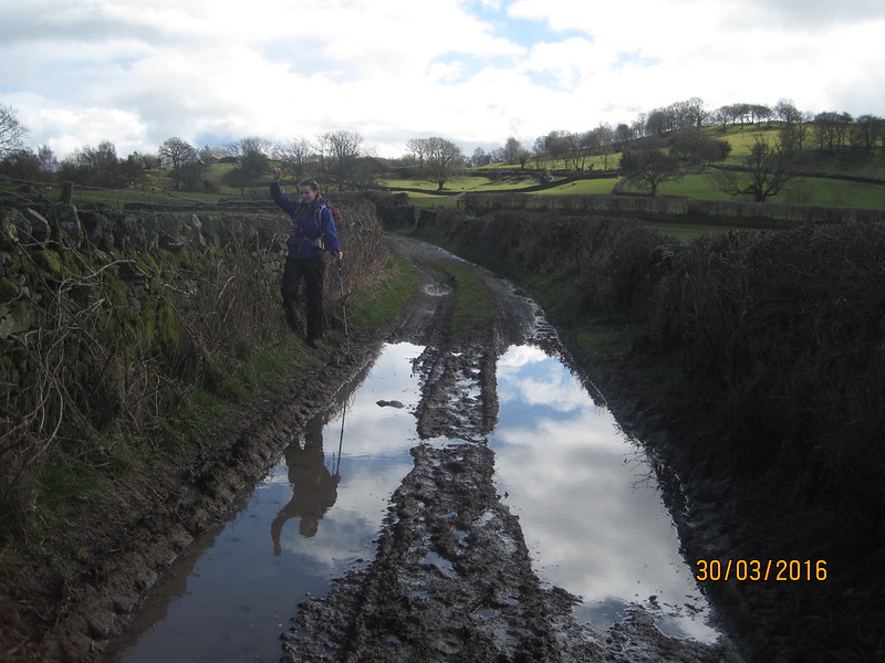
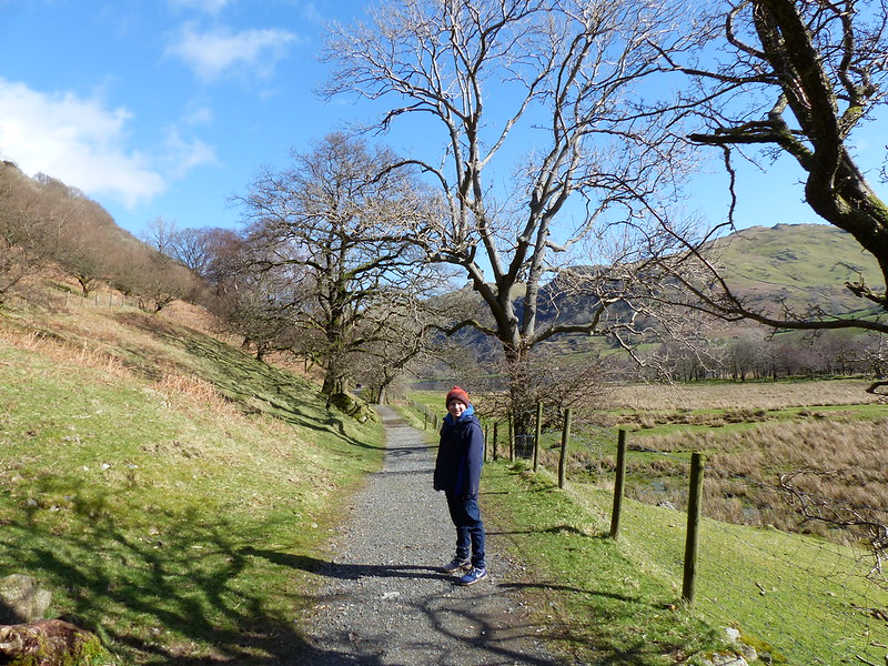
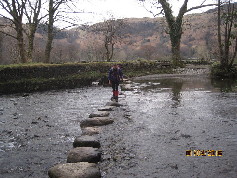
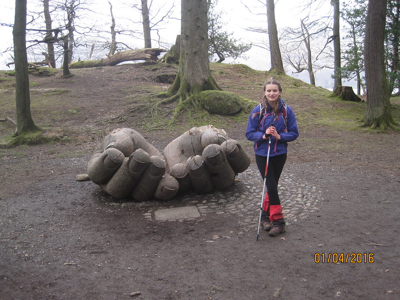
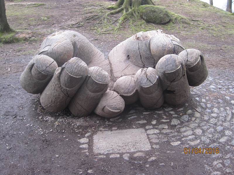
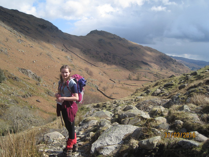
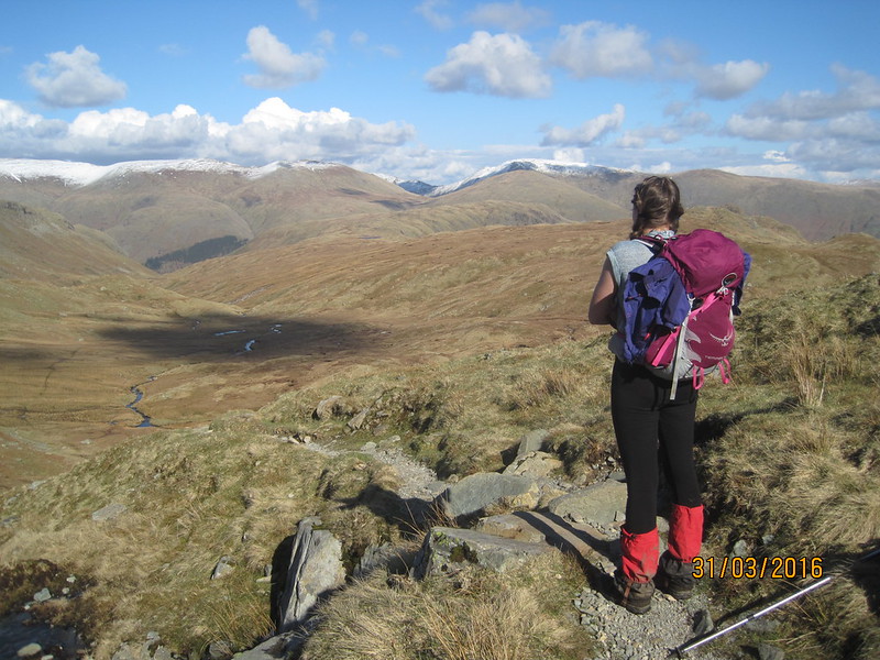
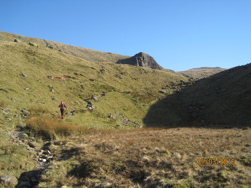
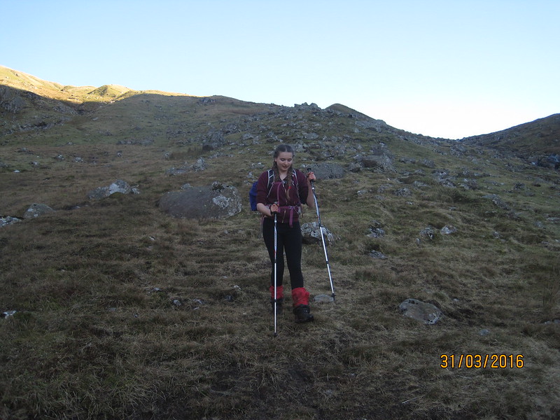
Before we’d departed on our walk TBH had presented me with an early Birthday present of a new pair of trekking poles; A was discovering how useful they can be when balancing on the slippery verges of very wet lanes.
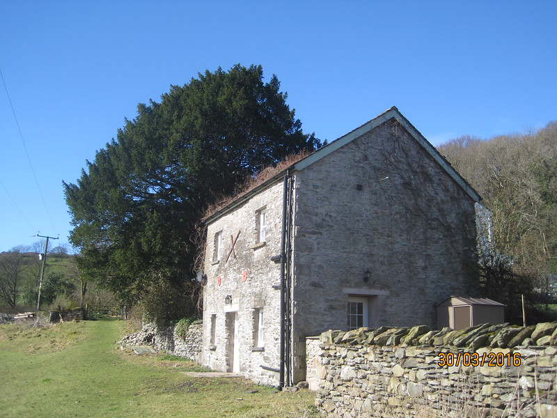
Spigot House.
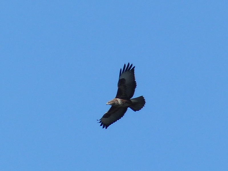
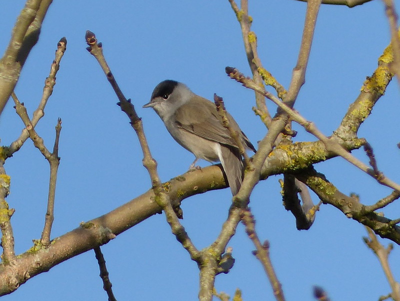
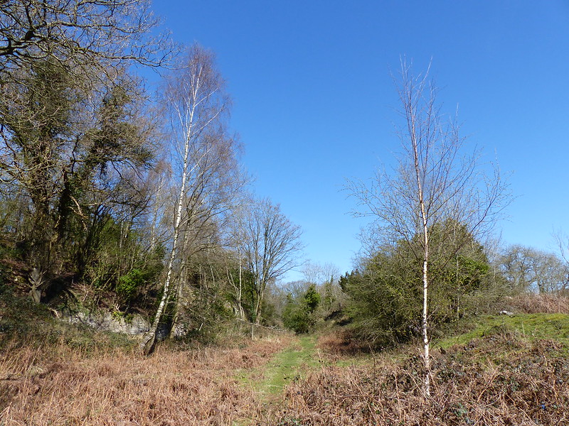
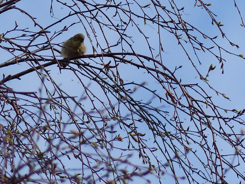
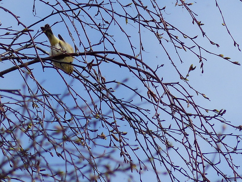
The path beside Gilpinpark Plantation took us onto uncultivated ground. As if to emphasis the wildness of the spot, a plaintive mewing overhead alerted us to three circling buzzards, and a jay ricocheted off between the trees.
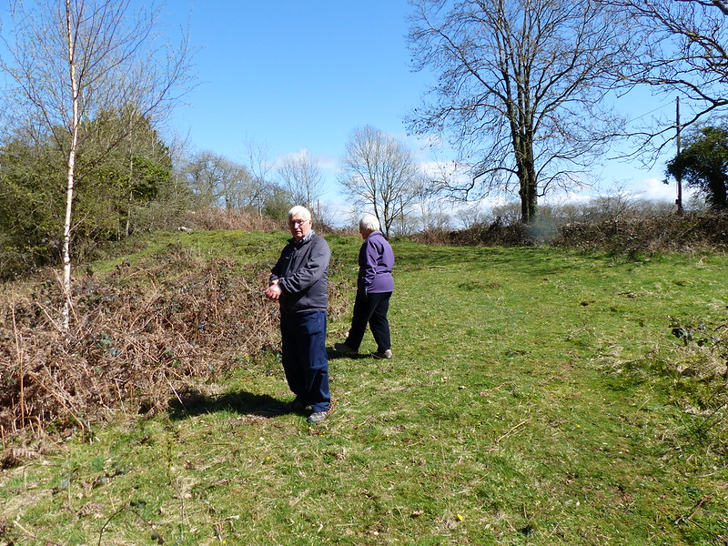
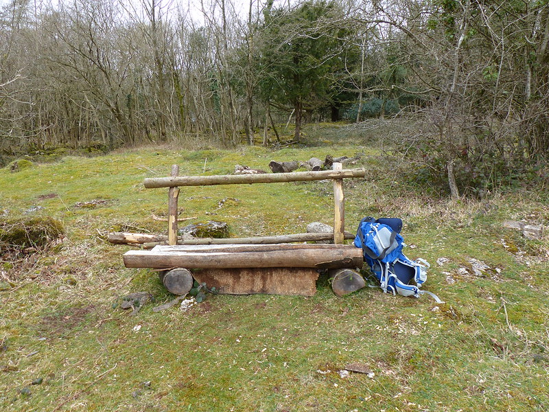
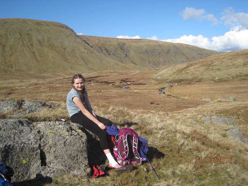
Between Outrun Nook and Hag End we found a bench where we could soak up some sun and rehydrate. Without discussing it we seemed to have mutually decided that a path-side bench was too good an opportunity to pass up. It was whilst we were there that we met the first fellow walkers of the day: a couple passed with a cheery greeting, then a Staffie introduced itself by trying to sit in my lap. It’s owner (who had a chocolate Labrador with him too) explained that the Staffie was newly acquired , and then asked for directions to Staveley. Then he asked about our walk. He seemed amazed that we were walking from Kendale to Ambleside.
“That’s a long walk. I’ve walked from Windermere to Kendal before and that was enough for me.”
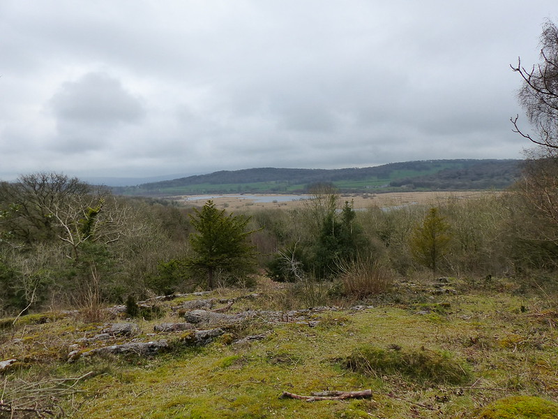
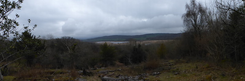
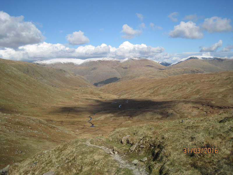
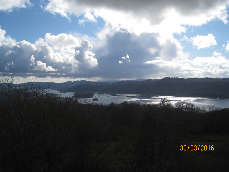
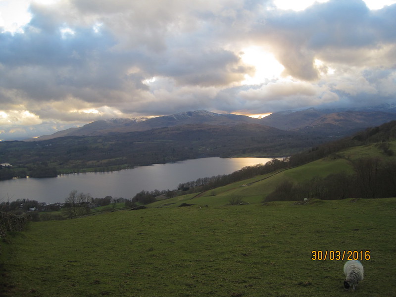
I was beginning to think he was right: it was a long way. Just beyond Hag End we crested a rise…
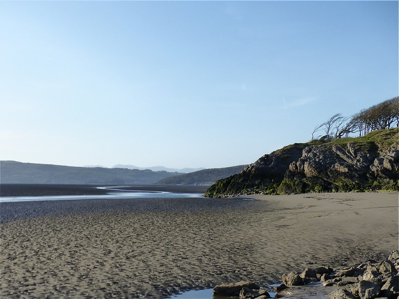
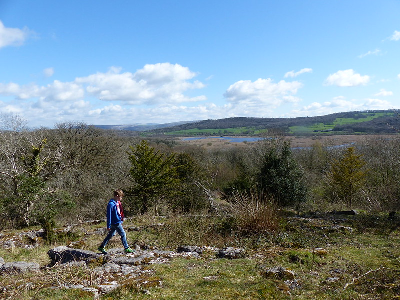
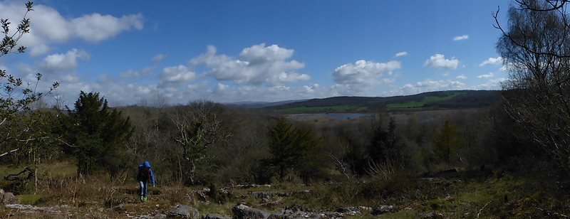
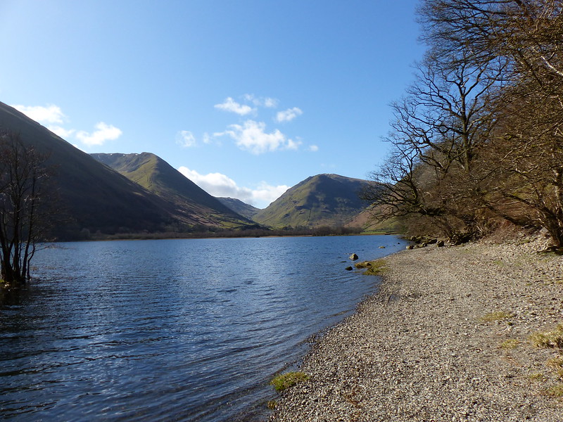
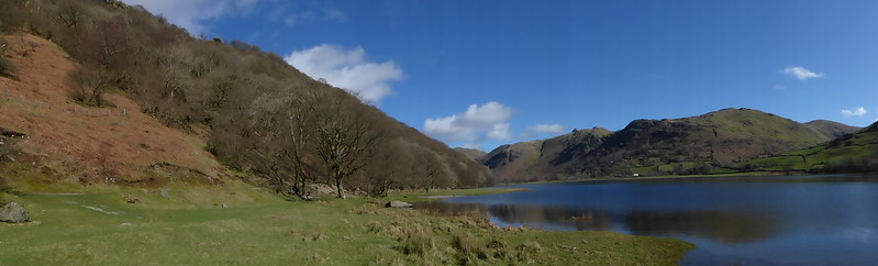
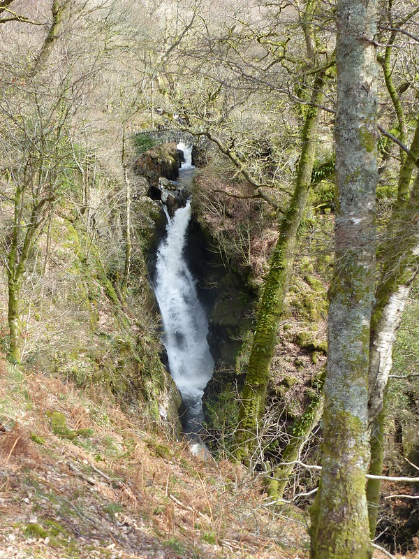
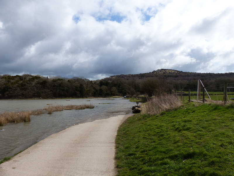
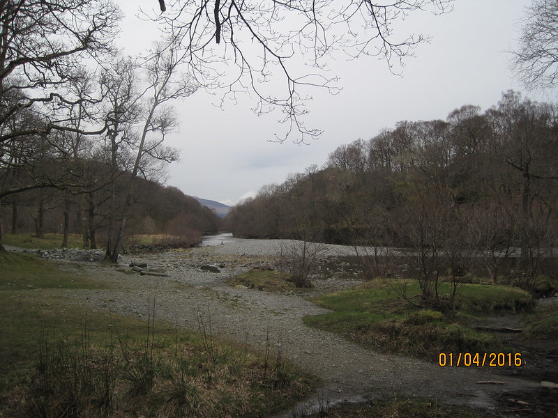
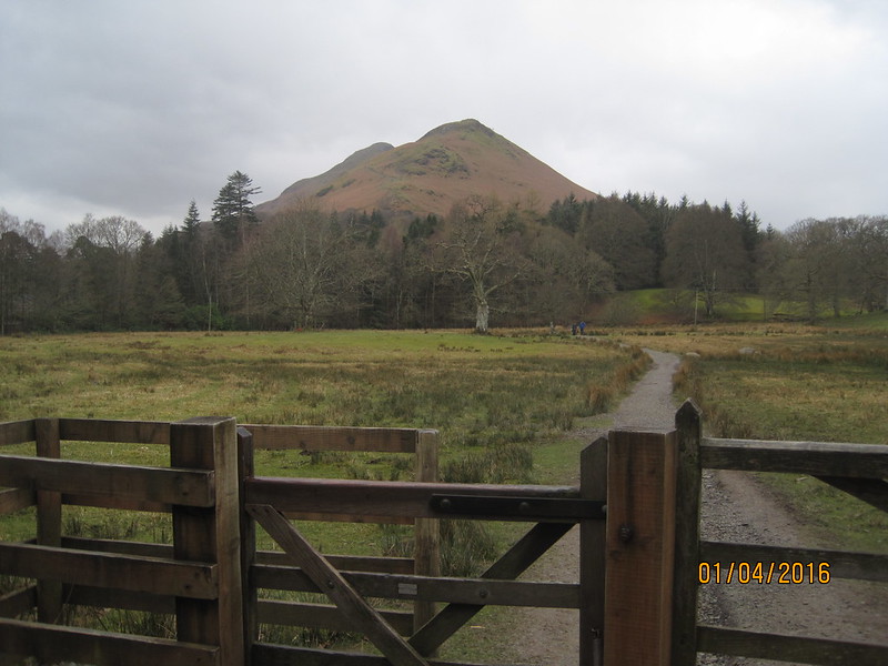
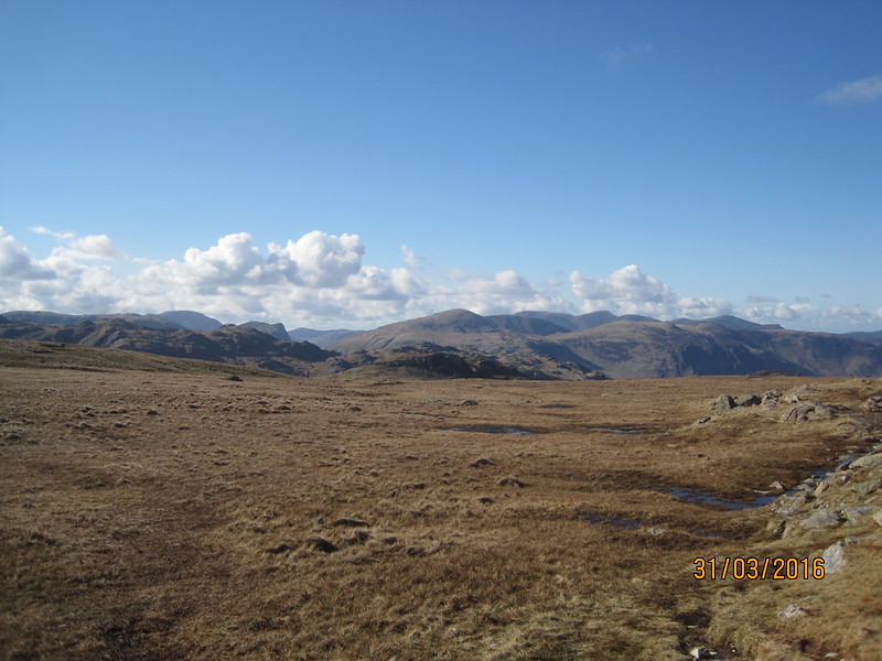
…to a magnificent view, although surprisingly we couldn’t see the lake at all.
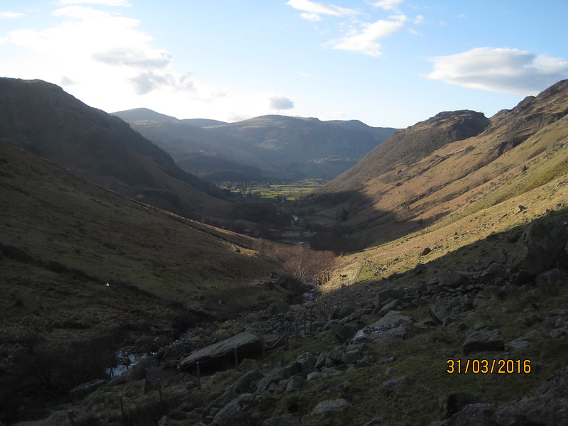
We dropped down into Windermere and then proceeded to Booth’s, which in this case has a cafe which supplied some late lunch for me, and a second lunch for A. Booth’s again? Well yes: not only are they a very fine grocer’s, but also, with my Booth’s card, I can get a free cup of tea every day. Which saving was more than offset by A’s insistence on filling her rucksack with cake. I think she was stocking up in case we were benighted. Not an unreasonable concern, since it was now gone four o’clock.
Booth’s is just about the perfect spot from which to launch an assault on Orrest Head. A was chuffed that we smashed the time for the ascent predicted on a sign by the road at the bottom. It suggested 20 minutes. We managed it in a mere 19. The top was relatively busy compared with what had come before, but it’s easy to see why it’s popular – it has a high view to effort ratio.
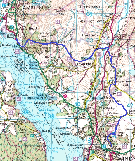
The next section of the walk was completely new to me (excepting the very last part): to Troutbeck via Causeway Farm, Near Orrest, Far Orrest, below Allen Knott, up Longmire Road, but turning downhill at the first opportunity, past Longmire itself (a charming farmhouse deserving of a more attractive name) and then crossing Trout Beck just downstream of the Church.
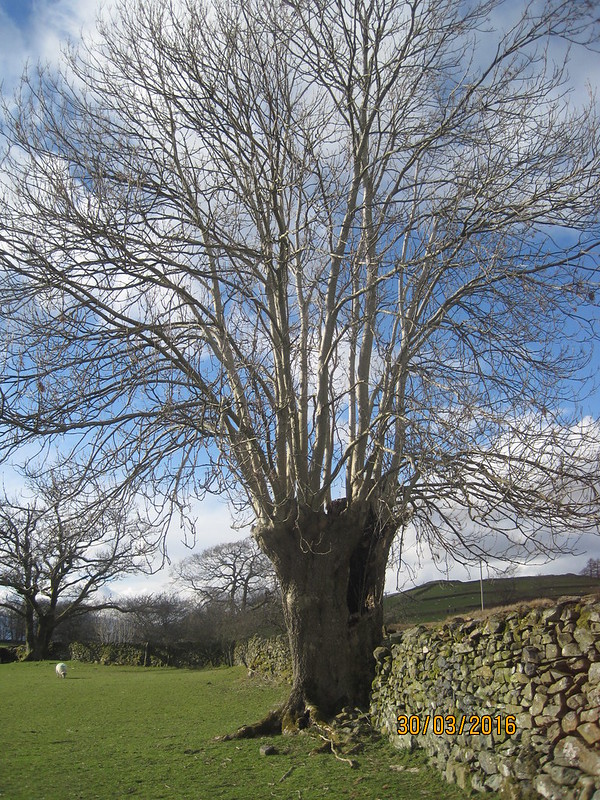
Between Near Orrest and Far Orrest we passed this, I would guess, very ancient ash, which looks like it has been pollarded many, many times. The huge trunk was hollow and we both had the same thought: that the Dangerous Brothers would love to climb inside it (and would probably then get stuck).
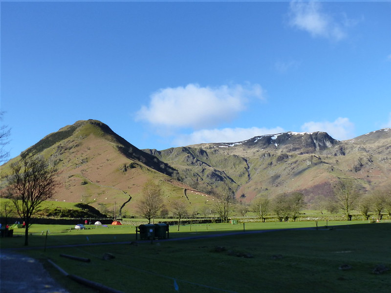
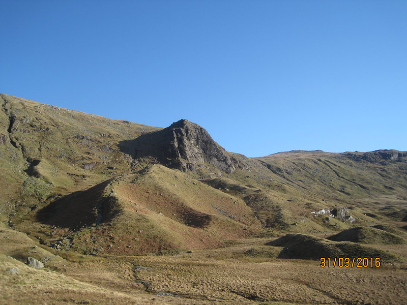
As we rounded Allen Knott, views of the snowy mountains at the head of the valley opened up.
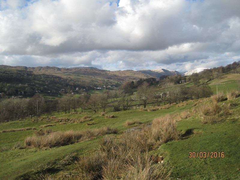
Thornthwaite Crag, Froswick, Ill Bell, Yoke.
We had one final climb to complete: up through Troutbeck village and along Robin Lane to High Skelghyll, before descending through the woods around Jenkin Crag to Ambleside.
It’s a lovely route with great views which I’ve walked many times with TBH.
Last time I was on this path the sun was setting too.
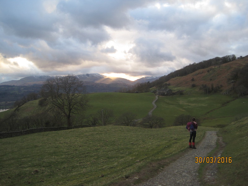
Crepuscular rays and High Skelghyll.
I’d been getting a bit twitchy about the lateness of our arrival at the hostel, so almost the first question I asked when we got there was:
“What time do you stop serving food?”
“Quarter to eight”
I must have looked stricken. It was quarter to eight.
“Sorry, I mean quarter to nine.”
Phew. We had time to dump our gear in our room (again on the third floor), grab a shower, and even get a wash on.
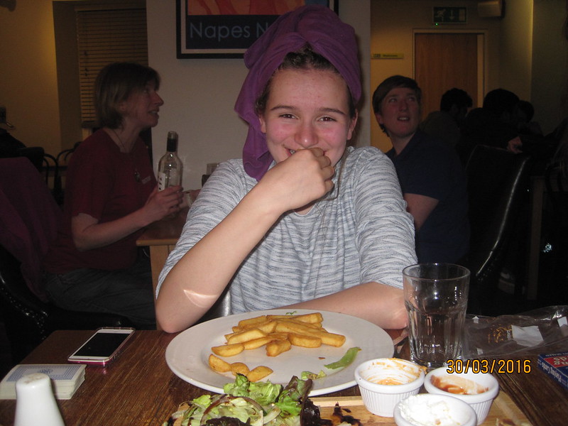
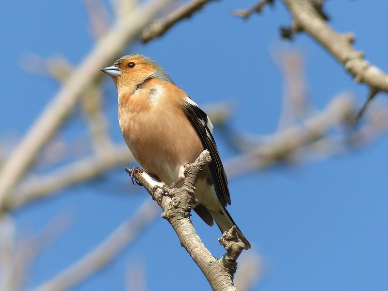
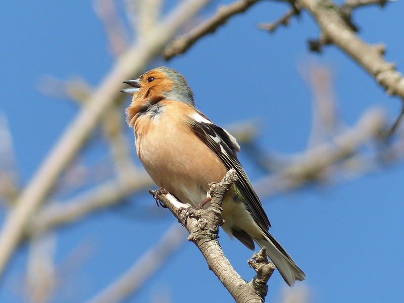
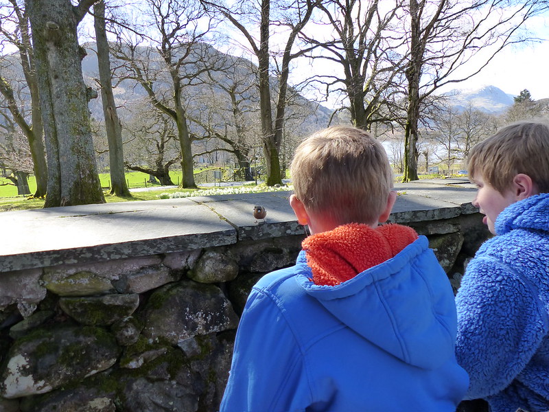
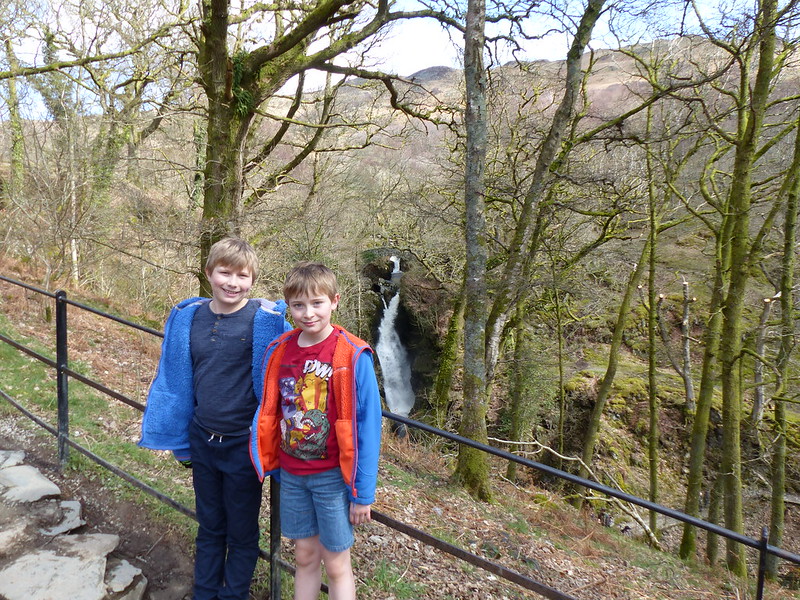
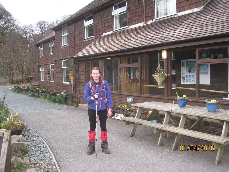
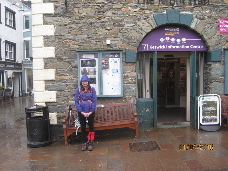
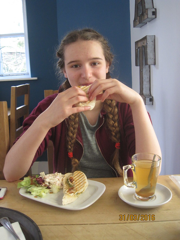
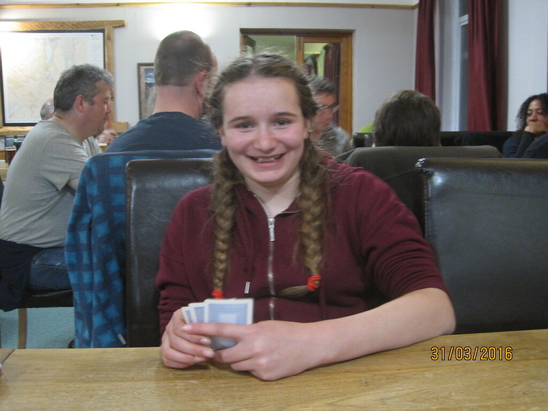
Our beautiful daughter. This is the last pleasant photo in the post. You might want to avoid the final picture if you are at all squeamish.
A really enjoyed her meal, I think it was one of the highlights of the trip for her. She certainly tucked into the shared starter we’d ordered with great gusto. And she’s still smiling even though I was attempting to introduce her to the intricacies of Cribbage.
You’ll see she had her ipod with her. She was using it to take photos, also to contact home and grandparents (all of the hostels had free wifi, although it didn’t always work exceptionally well). In addition, the tablet provided a record of her step-count and distance covered. It was in kilometres obviously, but I converted it into old money; even A seemed to appreciate the figures more that way. Home to Kendal had been 14 miles. Kendal to Ambleside 17. She’d earned her hummus and chips, not to mention the burger, the chicken goujons, the flat bread, but perhaps not quite such a big share of the halloumi as she snaffled (not that I’m bitter).
Talking of bitter – the bar/restaurant was very busy. Crammed to the gunnels with a group from a University (Hull if the sweat-shirts were anything to go by, although the only University top I’ve ever worn was from Berlin – a cousin studied there – I was wearing it once, a very long time ago, whilst propped up in a hospital bed and a very snooty surgeon said to me: “I don’t suppose you actually went to the University of Berlin?” In a tone which implied he didn’t think it likely that I knew what a university was. He did have a point though – twenty-five years later and I’ve still not even been to Berlin.) So, as I say, the bar was very busy, unsurprisingly so: the beer was very quaffable. I had to sample a couple whilst I waited for the tumble drier to finish with our laundry. Whilst I was waiting, and drinking, I got talking at the bar to a lady who loved the idea of the walk we were doing, but couldn’t fathom how she could ever gather the courage or the knowledge to cope with the navigation.
“How did you learn to map-read?”
How did I learn? I don’t really remember having to learn exactly, but I suppose I did a lot of walking with my Mum and Dad and they must have taught me during those walks. I did a lot of cycling in my teens too, both on my own and with a local CTC group and that involved a lot of map-reading too. Certainly, by the time I was 15 my parents were confident enough, or brave enough, to let me wander up onto Kinder Scout from Hayfield on my own, and I made it to the Downfall and back again in one piece, so I must have picked something up before then. Hopefully, I’m passing on that knowledge and confidence in turn.
We’d had a great day, but there were a couple of flies in our ointment: A’s ankle was bothering her on steep ground. I, meanwhile, had noticed a bit of rubbing between the toes of my left foot the day before. I should have done something about it, obviously, but didn’t. The rubbing had continued and I noticed a bit of discomfort, nothing too painful. I was quite shocked to discover then…
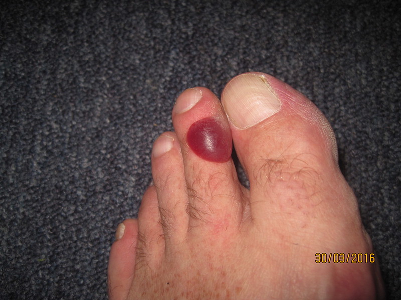
..blisters on both toes. The friction was entirely between the toes, but one of the blisters had spread out across the toe. Curiously, it wasn’t anything like as painful as it looks. But it was, at the least, a slight worry for the following day…
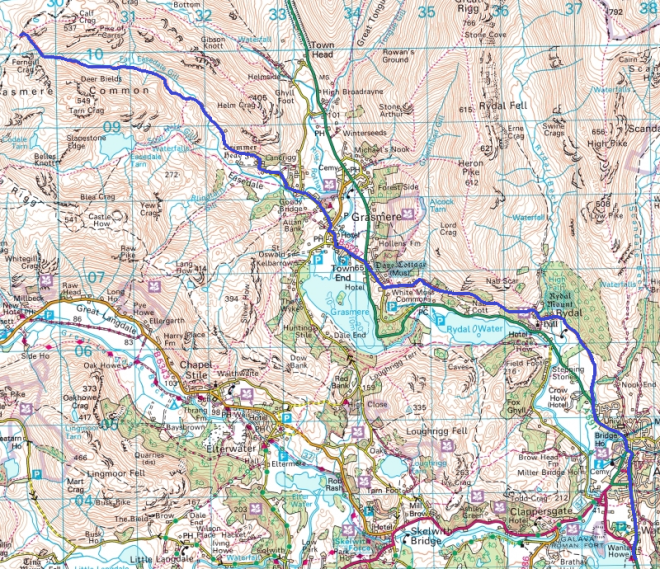
Maps: