A Saturday which, forecast wise, hadn’t promised much, suddenly brightened around lunchtime. Over our bowls of soup, I quizzed the family about their plans for the rest of the day, but for one reason or another they were all indisposed. I wanted to make the most of what was turning into a glorious afternoon, and it didn’t take me long to decide what to do: another hunt for Purple Saxifrage, having been a little too early for it on Ingleborough just over a week before.
I hadn’t actually made my mind up whether to tackle the walk on the western slopes of Ingleborough, which had been the original plan for my previous outing, or to head back to Pen-y-ghent where I first saw the saxifrage last year, but as I drove north from Ingleton I noticed that the Hill Inn was doing a roaring trade, likewise the Station Inn at Ribblehead. More importantly, there was a distinct lack of parking spaces and some of the roadside parking was decidedly dodgy, so I opted for Horton and Pen-y-ghent. As I drove down Ribblesdale towards Horton, I passed scores of walkers coming the other way up the road. Presumably, many of them were ‘doing’ the Three Peaks. They’d picked a fine day for it, but to these eyes at least, a lot of them looked hot and knackered and not particularly happy.
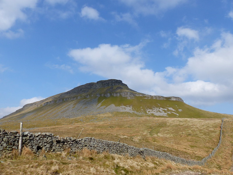
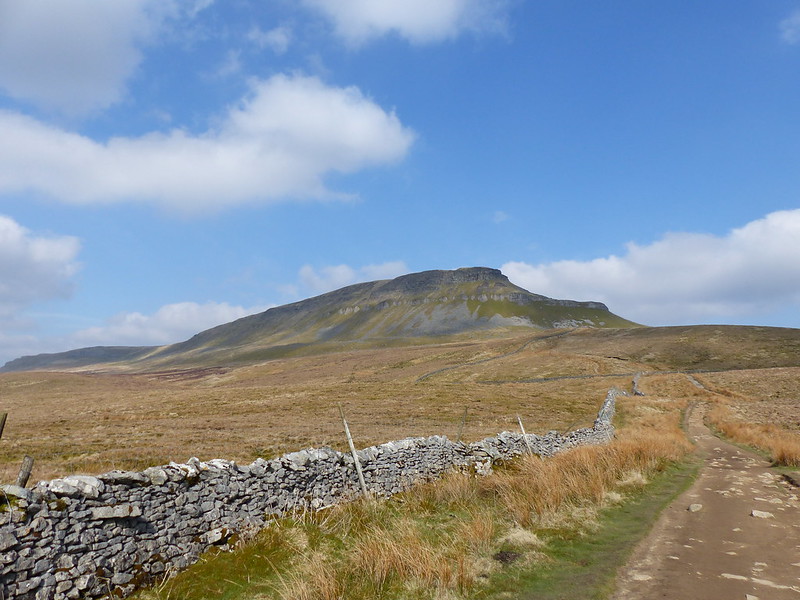
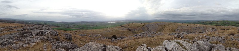
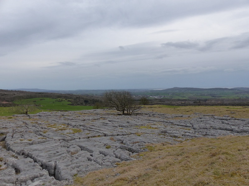
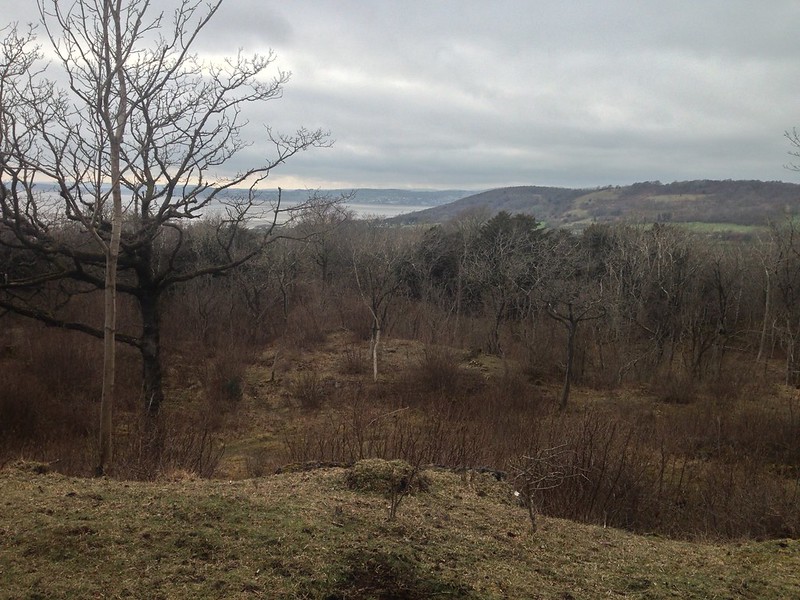
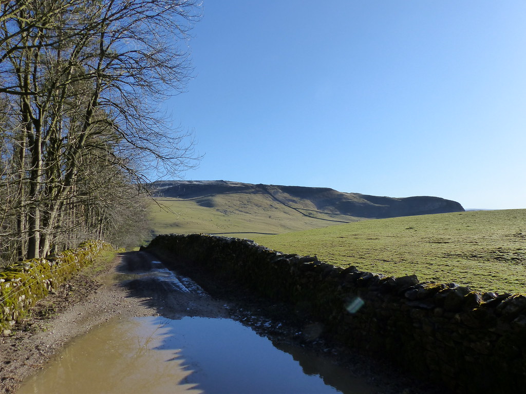
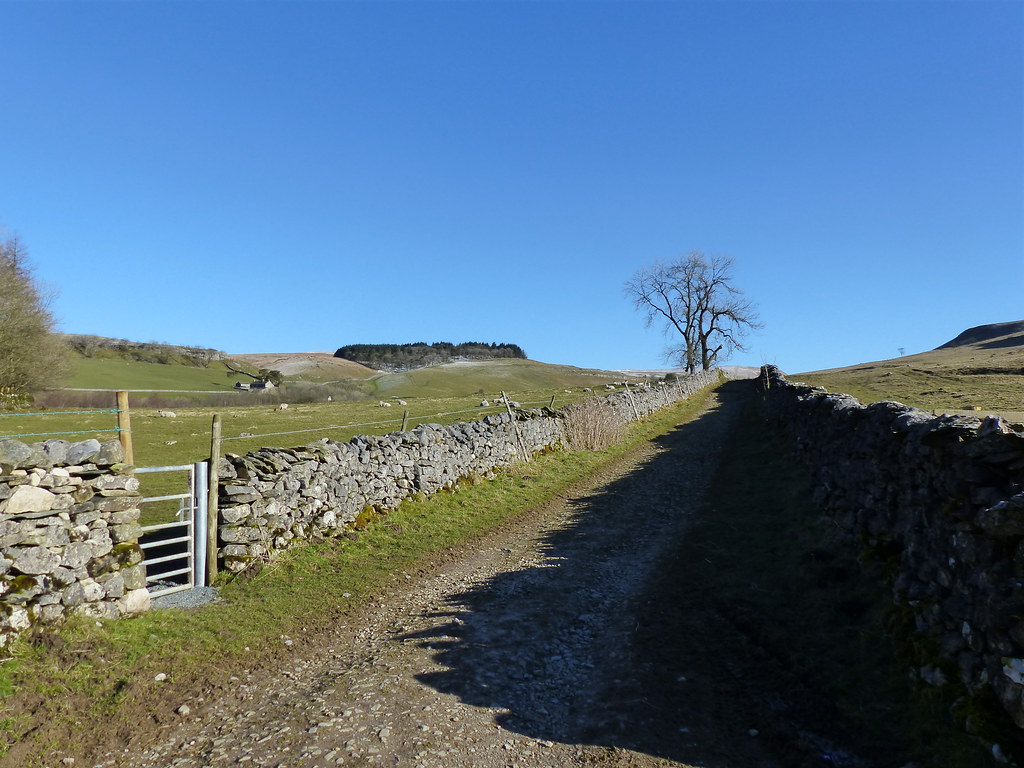
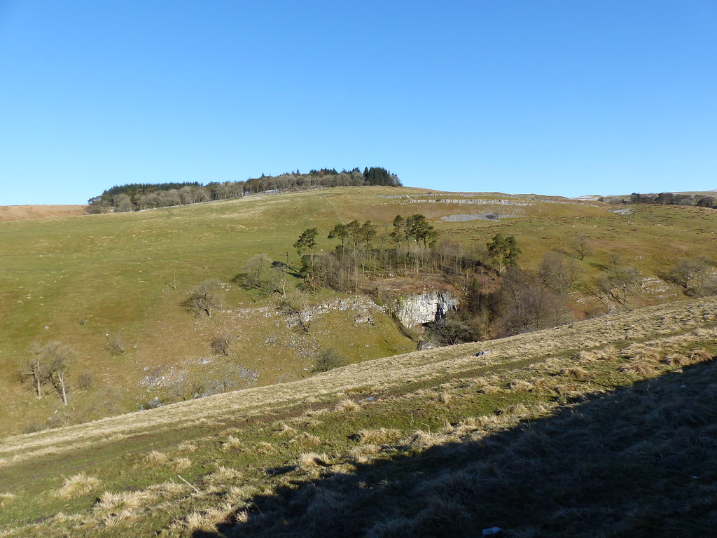
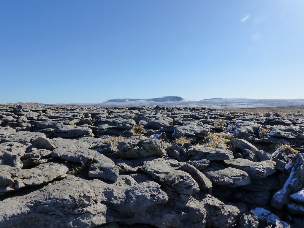
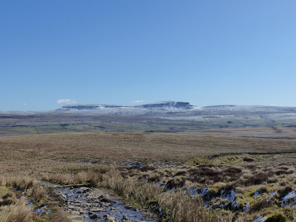
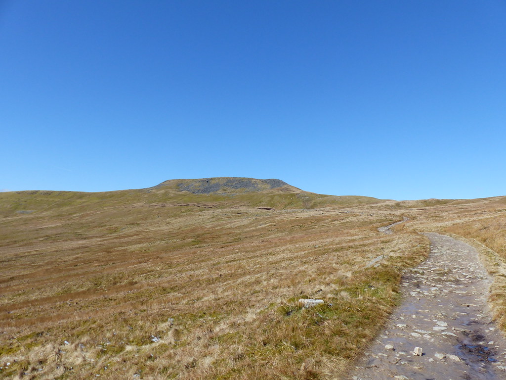
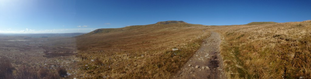
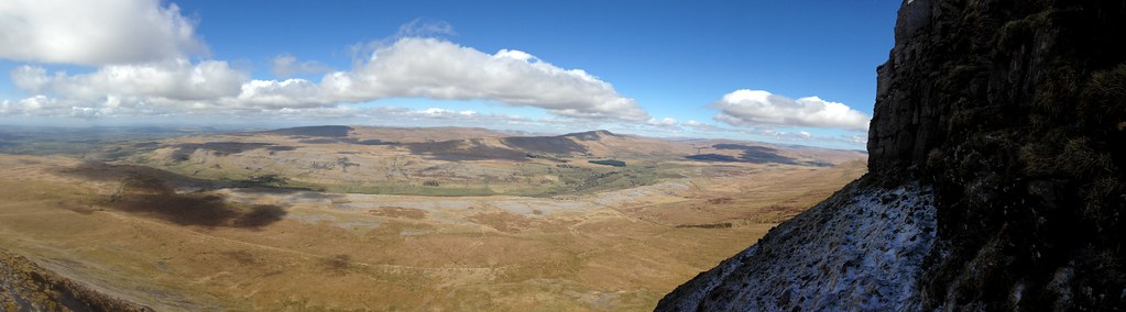
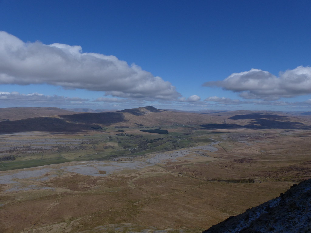
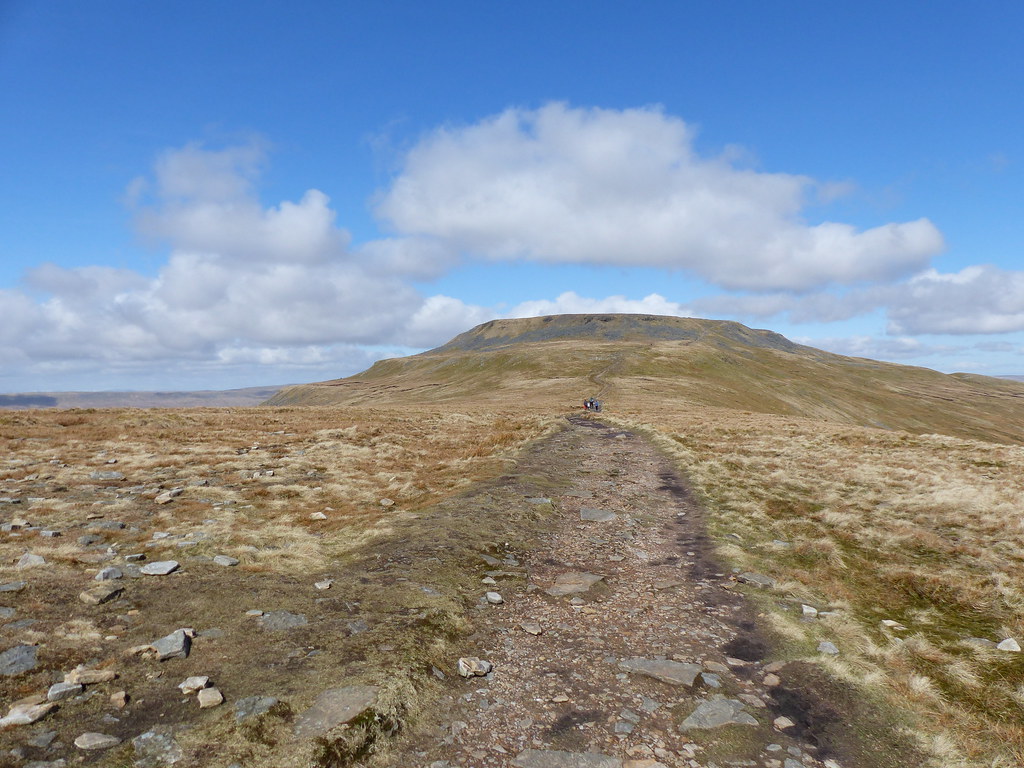
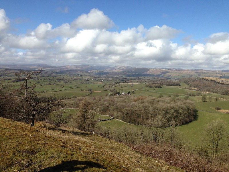
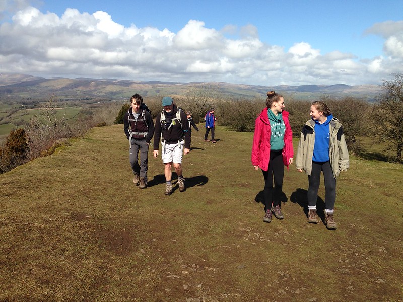
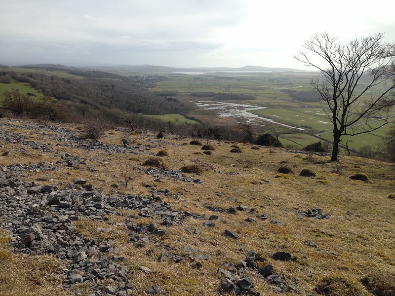
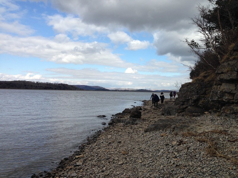
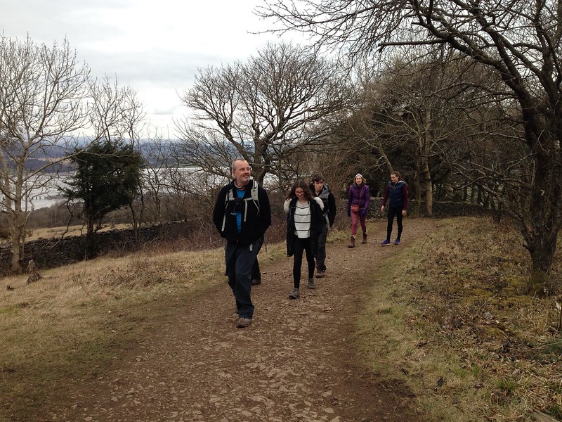
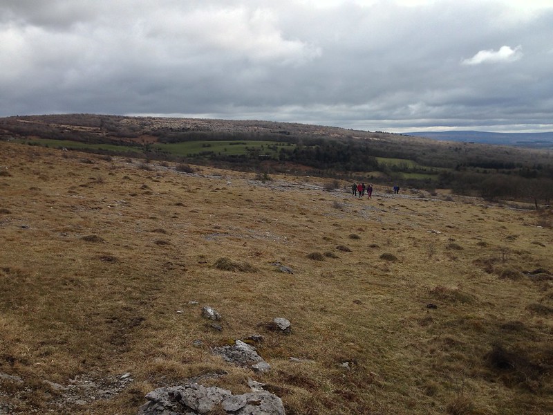
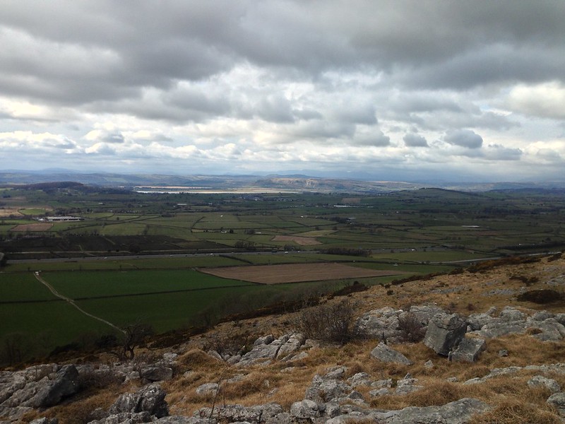
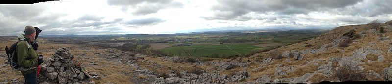
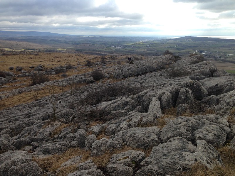
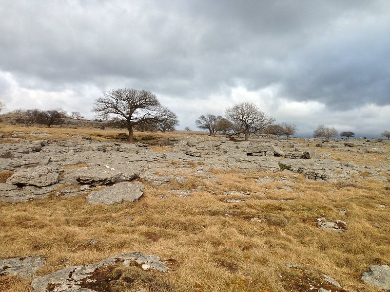
Anyway, Horton was relatively quiet and I was soon climbing the nice steady Brackenbottom path, stopping regularly to take photos of the changing views of Pen-y-ghent.
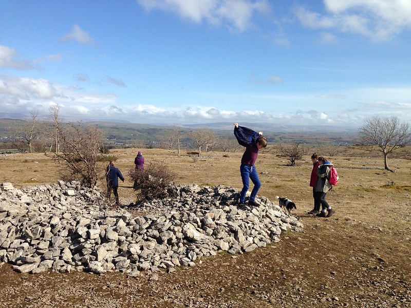
There were still quite a few people about; mostly, but not exclusively, on their way down. I was quite surprised that there seemed to be a few parties following me up the hill, given that I’d only set-off from my car at around 3.30pm and most walkers seem to be fairly rigid about the times which are suitable for beginning and ending a trip.
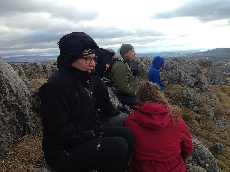
As I was taking this photo…
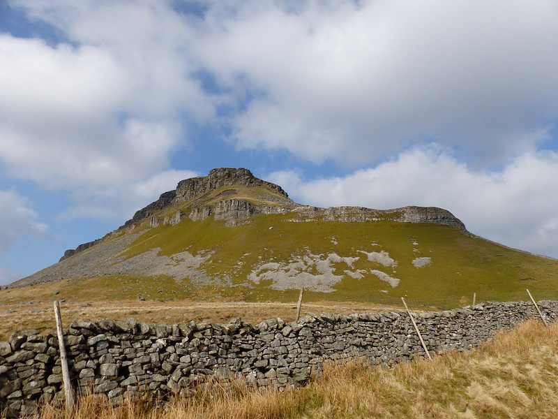
…a couple stopped to ask me if I was “walking or sight-seeing?” They also wanted to know about the zoom on my camera.
“It’s huge,” I told them
Although, in retrospect, it’s actually more true to say that, of its kind, it has a relatively modest zoom. I thought I might be able to demonstrate.
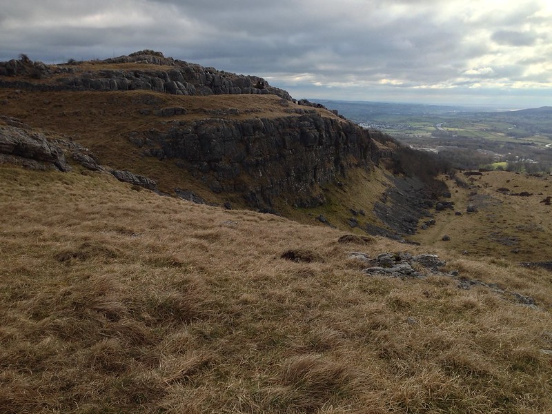
“You see that limestone cliff pretty much directly below the summit? I’m looking for Purple Saxifrage, and I think maybe I can see a bit of purple from here – the camera should tell me whether I’m right or not.”
I probably sounded like a pompous buffoon, but anyway…

Taa-dah!
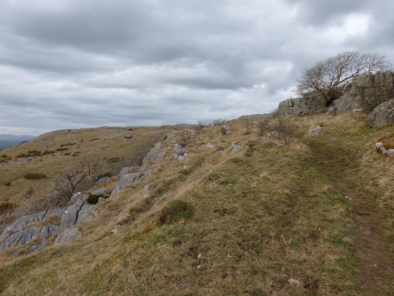
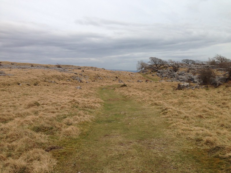
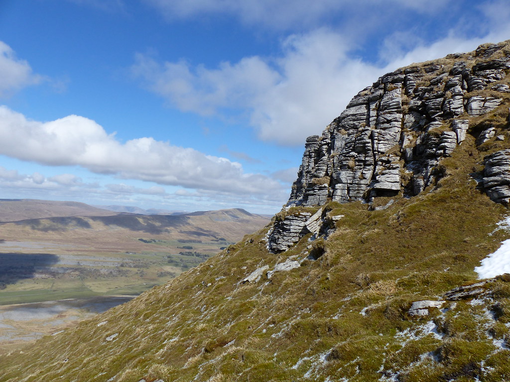
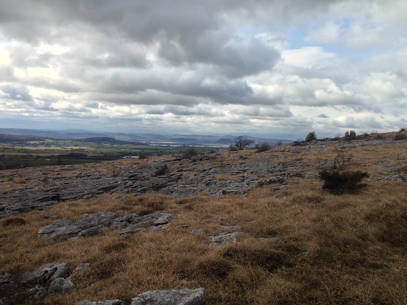
This not only impressed the punters, but also settled my immediate plans: I would stick to the path as far as the lower line of cliffs and would then traverse across beneath those cliffs in search of saxifrage to photograph. After that? Well, time would tell: maybe I could continue below the cliffs as far as the next path up to the summit; or perhaps I would retrace my steps; or maybe, seeing how broken those cliffs are, I could work out a route up through them to the top.
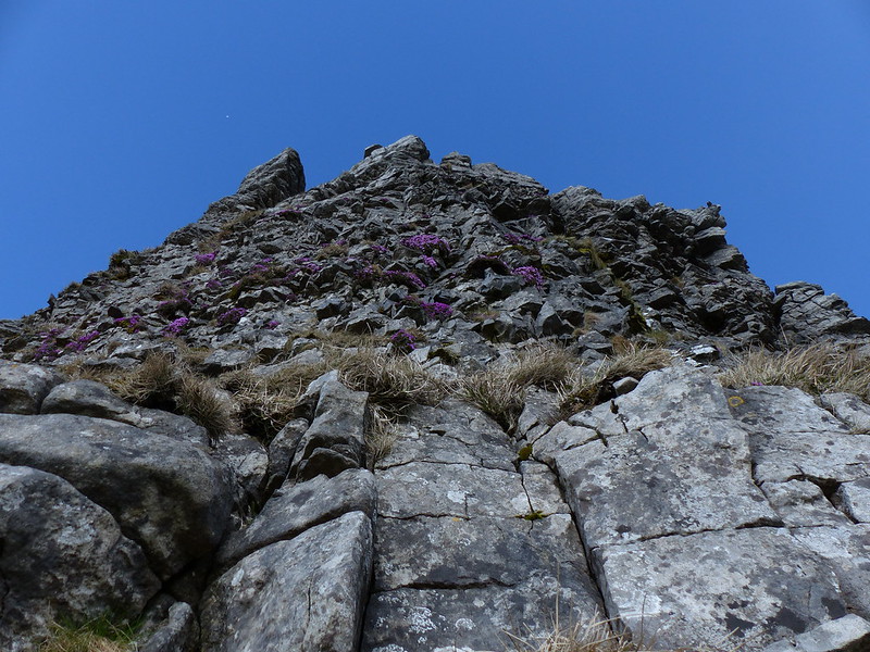
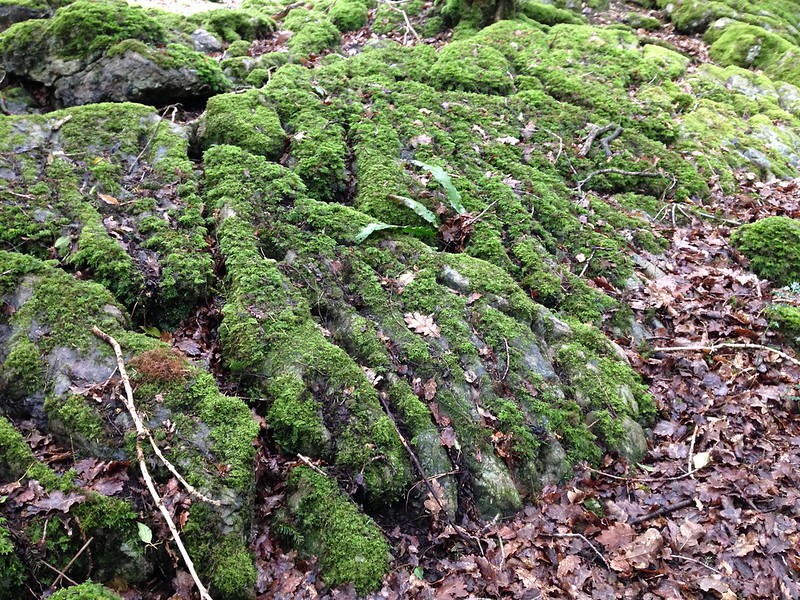
It can be a quixotic business this flowering hunting lark: when I got there, the slope just below the cliffs, which I knew would be steep, seemed maybe a bit steeper than I would have preferred…
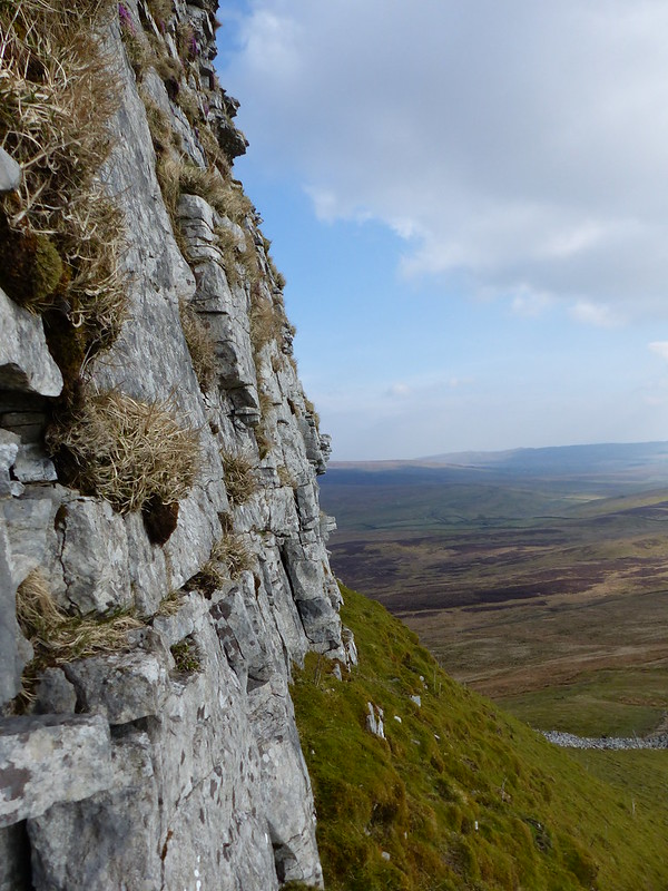
I don’t think it helped my aching calves and slightly wobbly knees that I kept staring up at the cliffs searching for purple…
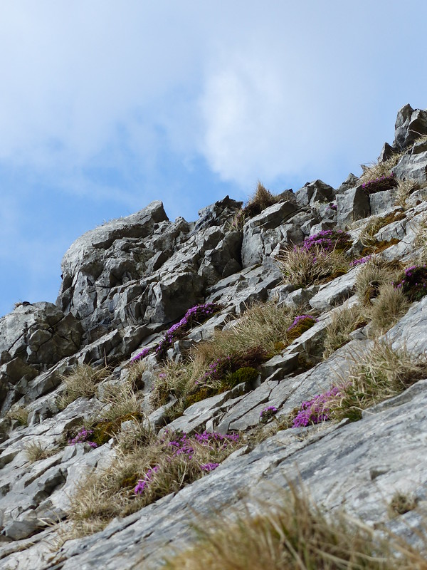
I think the sheerness of the rocks was magnifying, in my mind, the gradient of the mossy ground beneath.
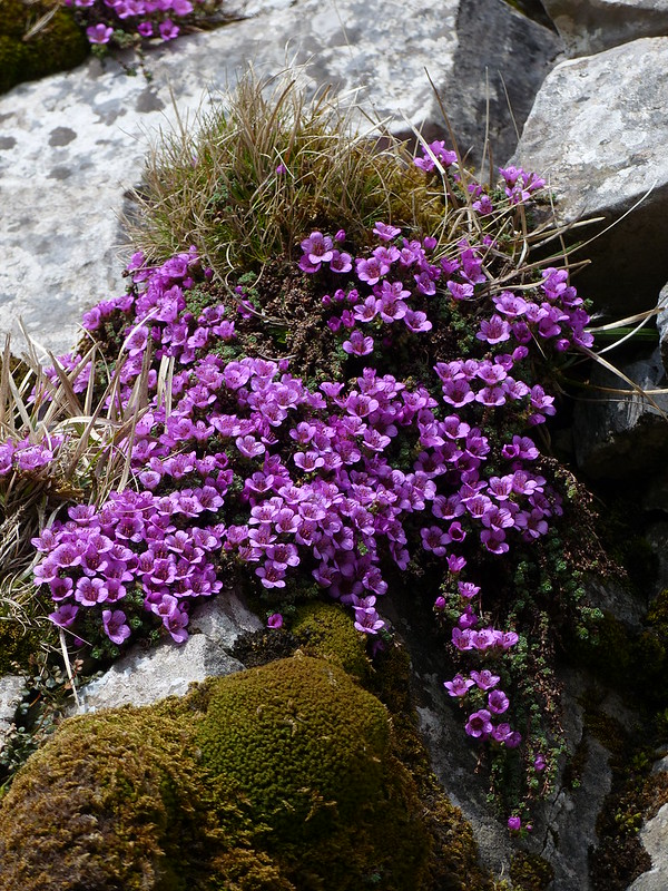
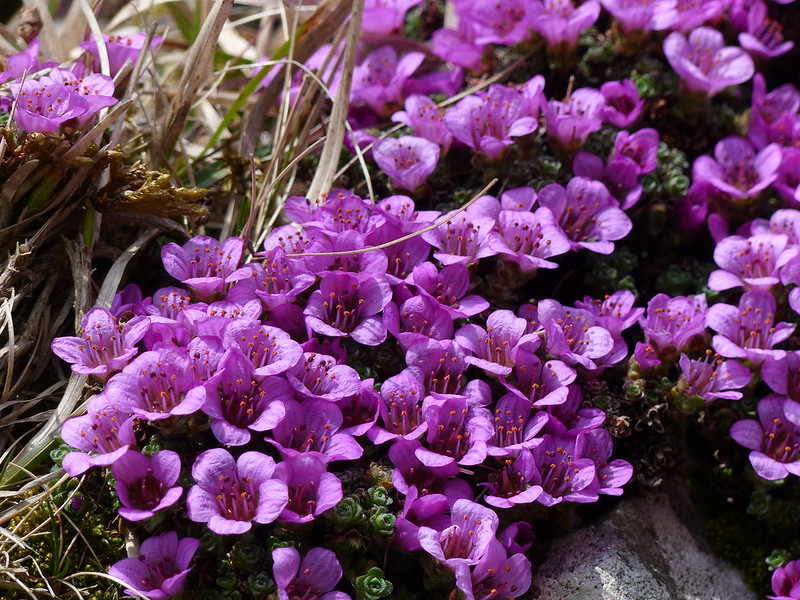
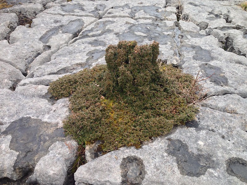
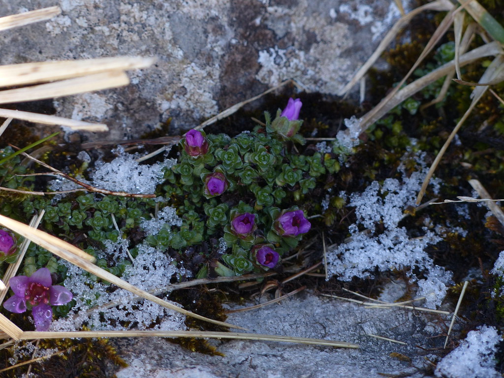
At least the treasure I’d come seeking was there, in some abundance….
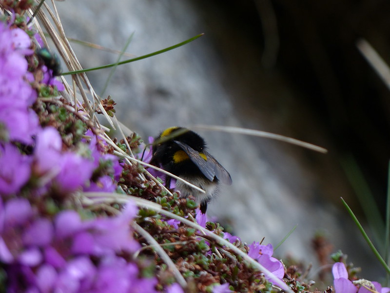
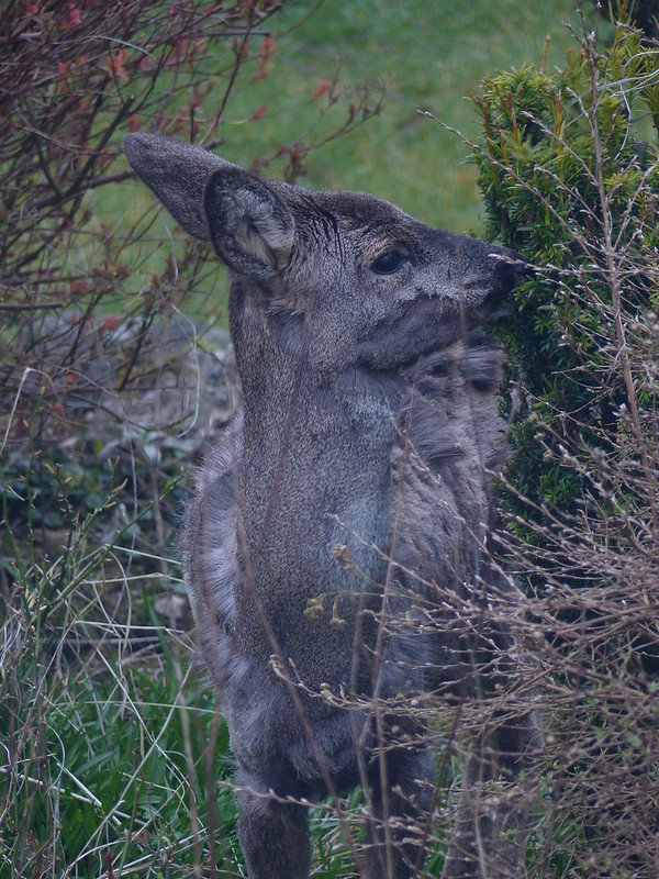
I was just pondering on what might be pollinating these early flowers at this altitude when a Bumblebee buzzed over my shoulder in search of nectar.
I suppose coincidences like this, when the workings of the old grey matter and events in the outside world somehow conspire to run in tandem, only seem eerily common because whenever they happen it’s striking and we remember it.
This bee might be a Buff-tailed Bumblebee, or a White-tailed Bumblebee, or a Northern White-tailed Bumblebee, workers of which species, I’ve just discouragingly read, are ‘virtually indistinguishable in the field’. Or maybe it’s none of the above. Bumblebee identification is very tricky.
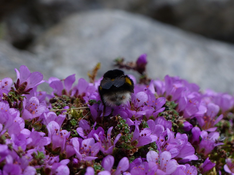
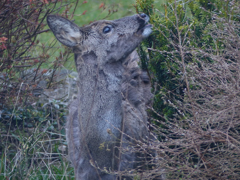
Whilst I took these pictures, a second bee, some kind of Red-tailed variety, began to forage from the same clump of flowers, but proved too elusive for me and my camera.
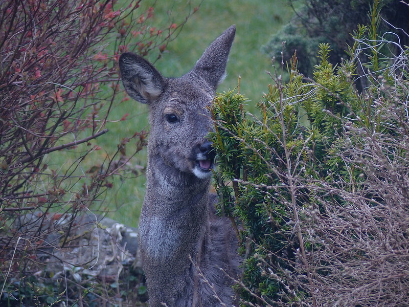
There seems to be something small and orangey-brown attached to the bees behind, and in this photo…
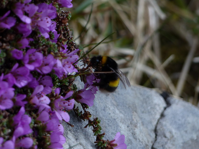
…although they are hard to see, several more clinging to her neck. I wondered whether they might be mites, so did a little lazy internet research. Apparently Bumblebees do sometimes host mites, but, somewhat to my surprise, the mites are thought to be generally benign. They live in the bees nests, subsisting on honey and wax and then, at certain times of the year, piggyback a lift to flowers in order to jump a ride on another bee and find a new nest. Free-loaders! However, whether these are mites or not I’m still none-the-wiser.
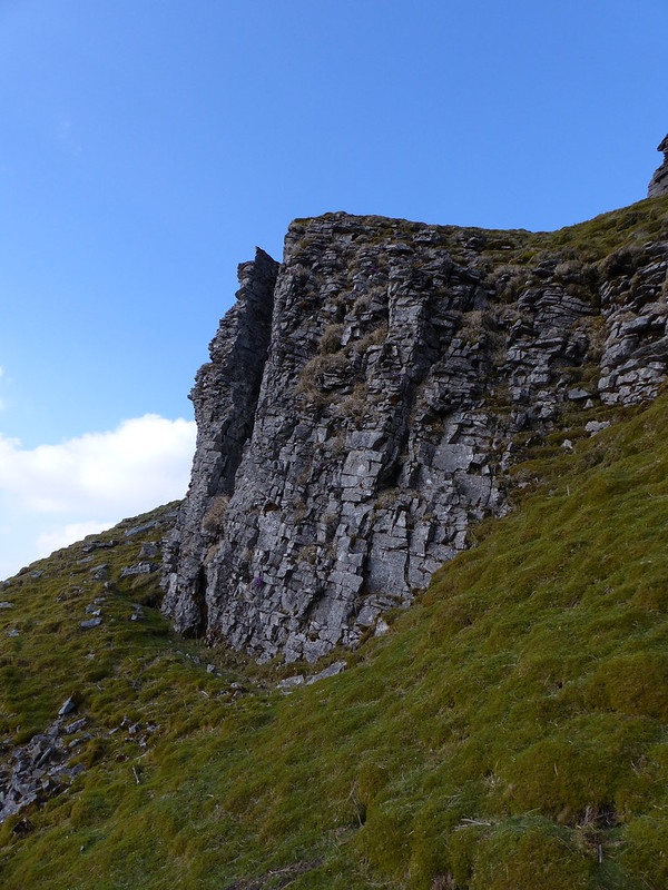
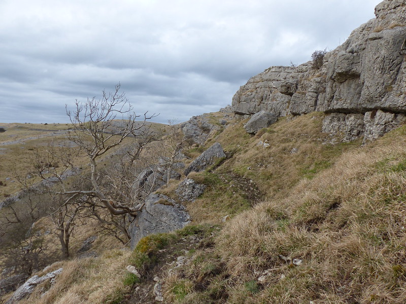
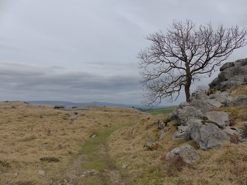
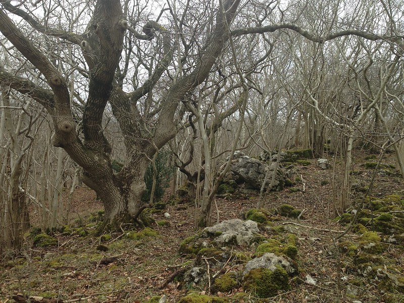
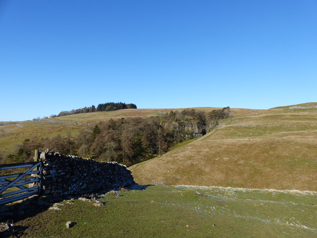
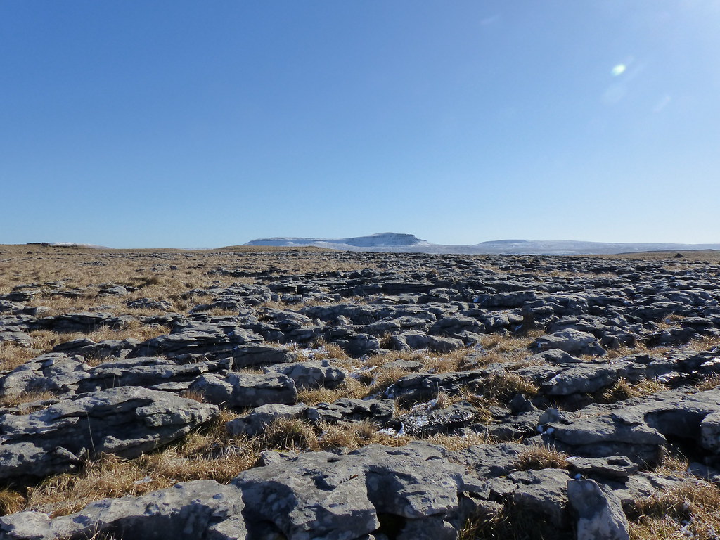
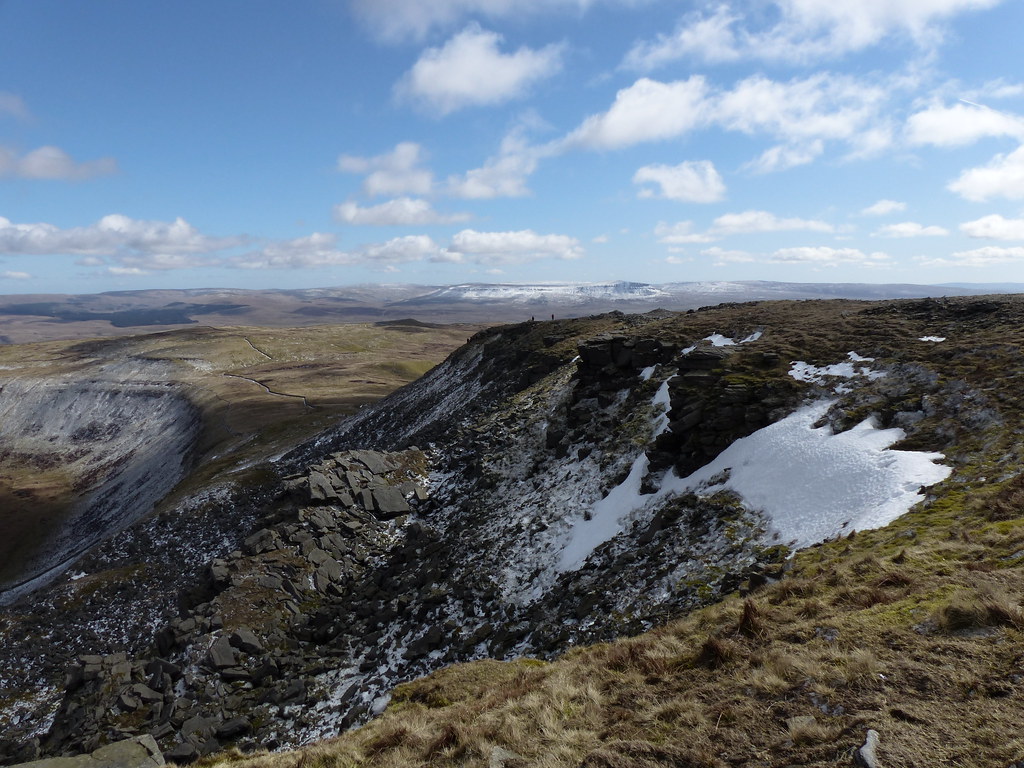
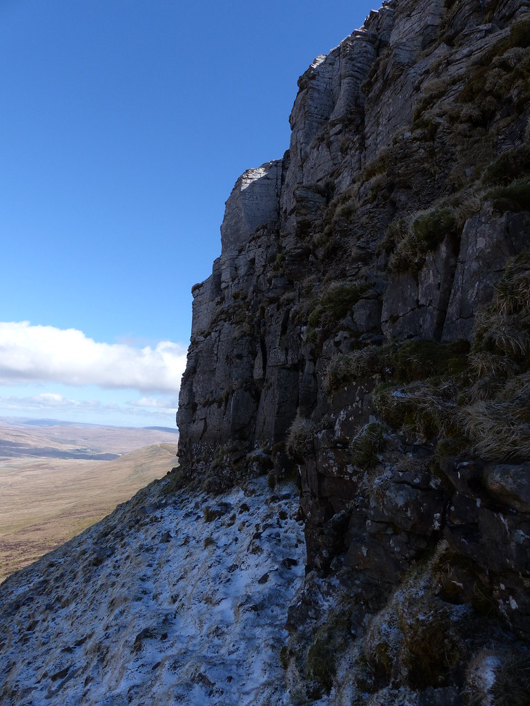
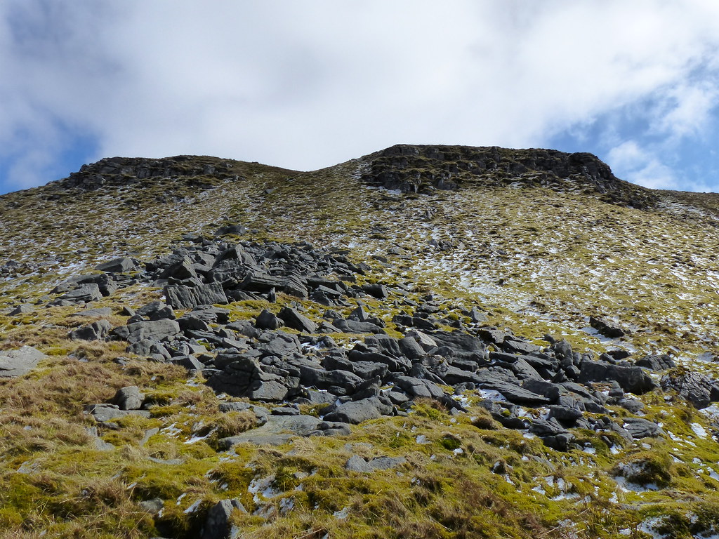
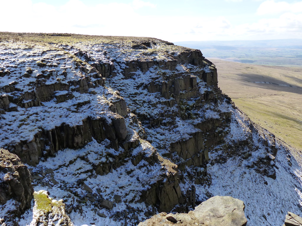
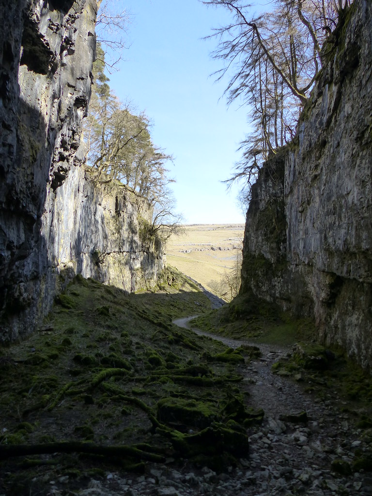
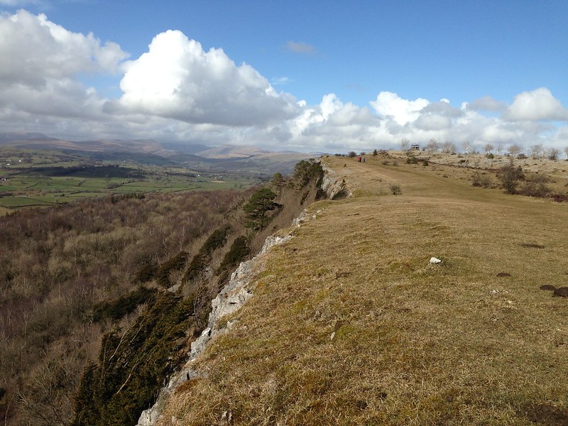
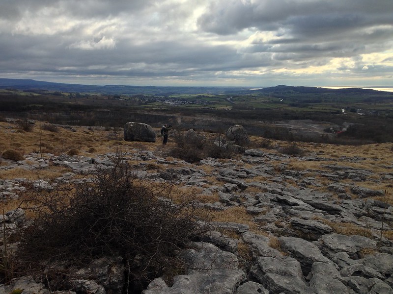
Whilst the airiness of my position had upped my pulse a bit, when I stopped staring up at the flowers, and stepped down a yard or two from the cliff I kept feeling that the next section didn’t look too bad after all. Once or twice I decided to descend to easier ground, but always shortly found easier going without that necessity. So, in fits and starts, I made it round to the base of the big crag where I had first spotted the flowers from below…
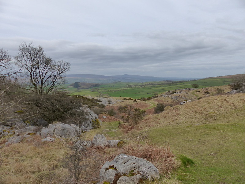
Down below…
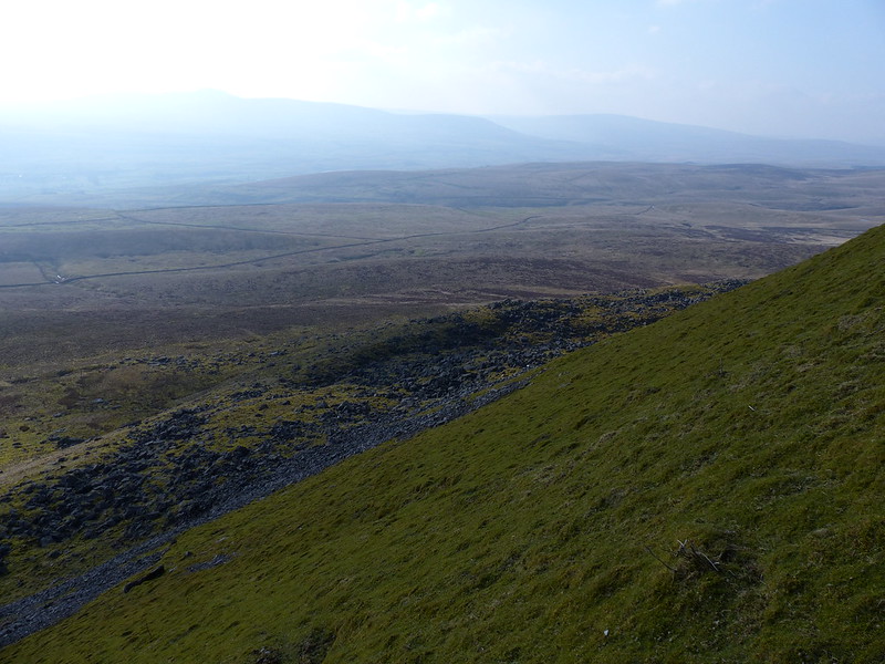
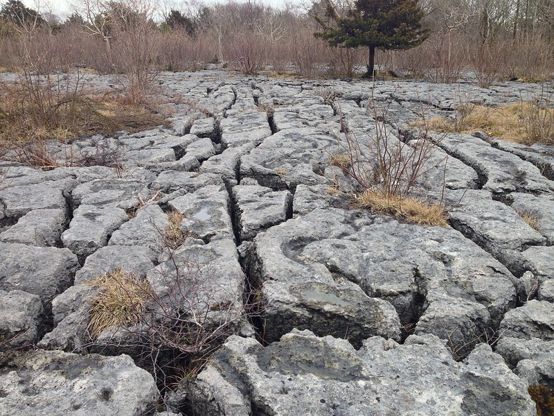
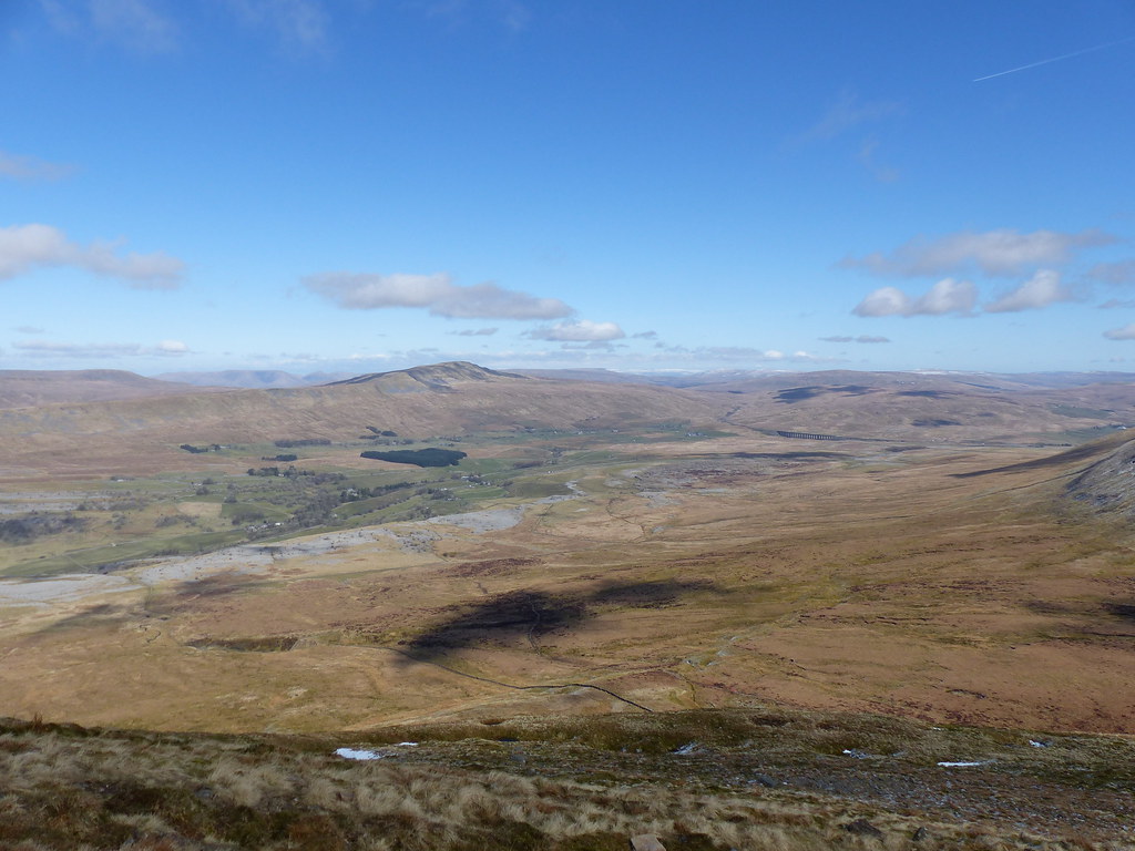
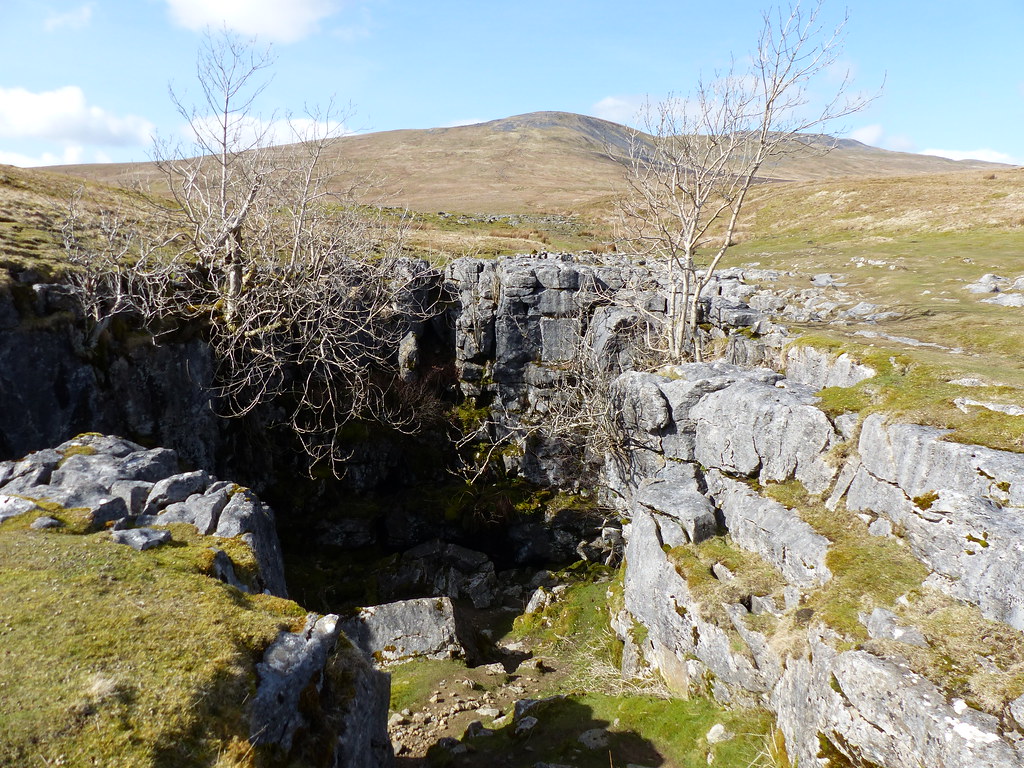
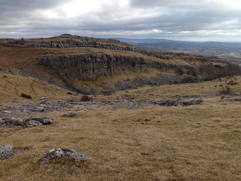
…it seemed that Pen-y-ghent, like Ingleborough, has had a substantial landslip, something I shall have to come back to investigate another time.
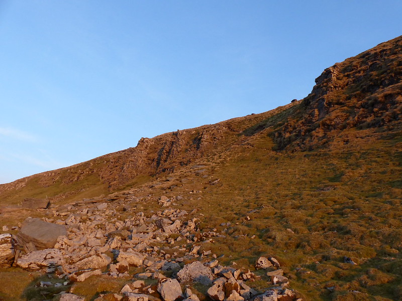
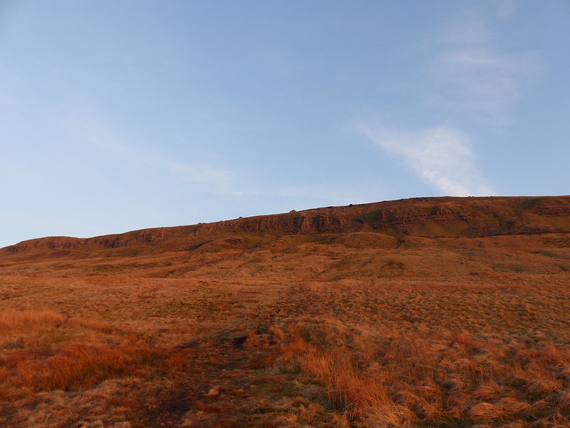
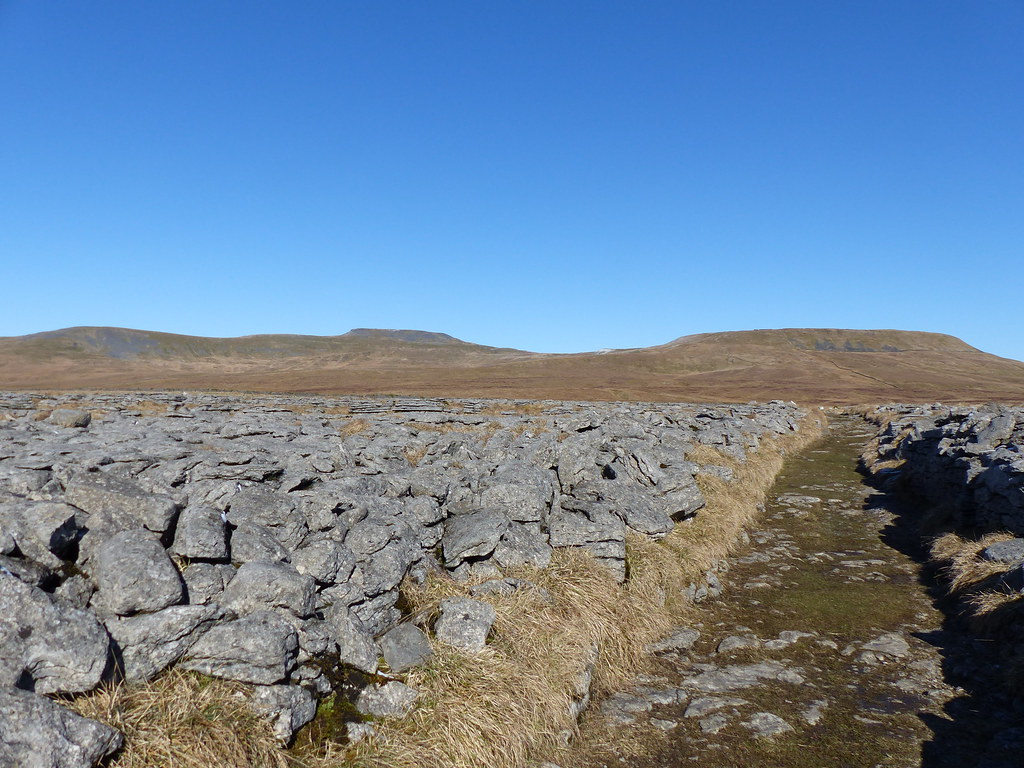
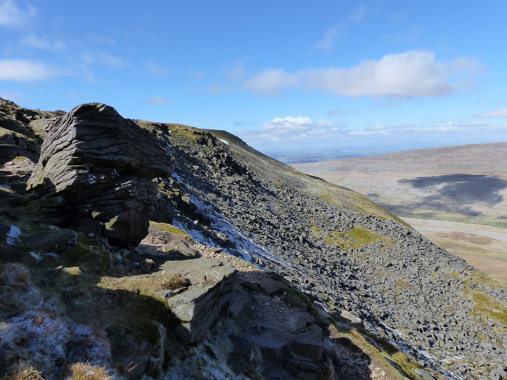
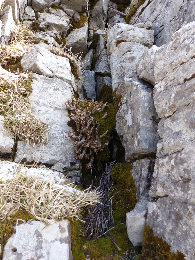
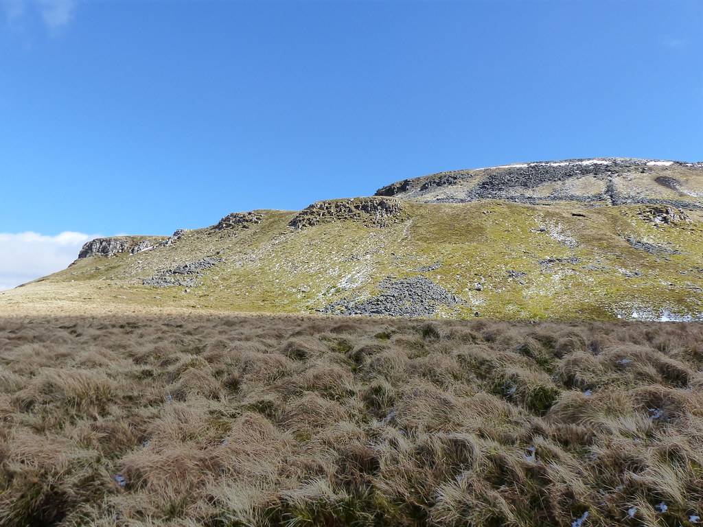
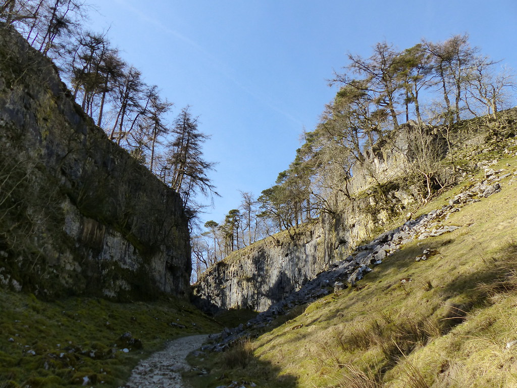
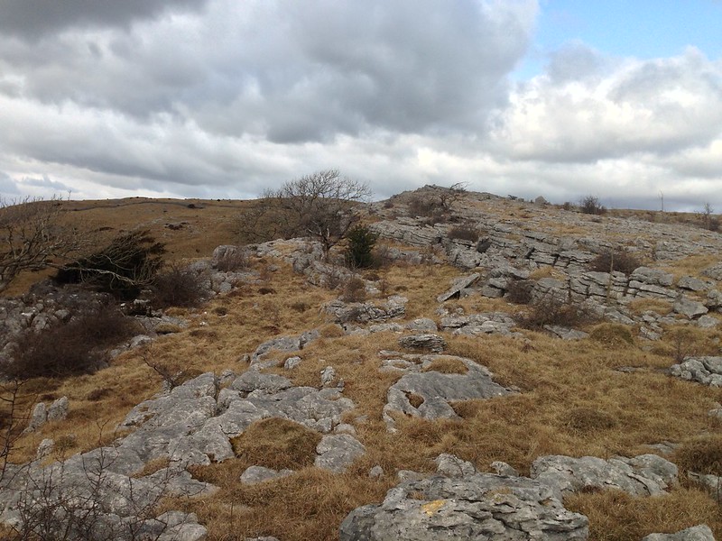
At first, I thought that this feature, on the left of the cliff, might be a tower, but in fact it’s a large fissure, what climber’s would call a chimney, I believe. Just beyond here the cliffs, which had always been rather intermittent, gave out altogether, at least for a while. Above I could see more steep slopes and then the second line of crags, presumably of gritstone. These were taller crags and fairly imposing, but on the left you can see the edge of a wide gully which looked like it might be a chink in the mountain’s armour.
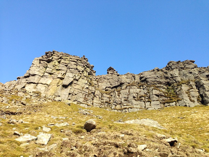
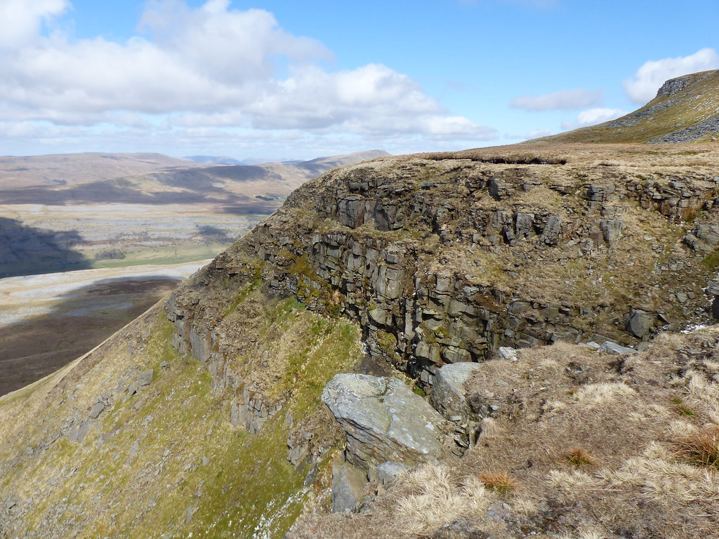
Close to the gully…
I probably could have got up the gully, it was neither particularly steep or very exposed, but the first little scramble required a large step-up which, not as agile as even the clumsy, inept scrambler I once was, I decided not to attempt. Instead I contoured out on the ledge roughly half-way up the crag opposite.
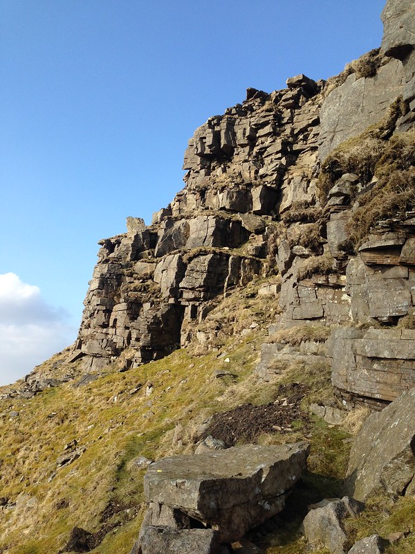
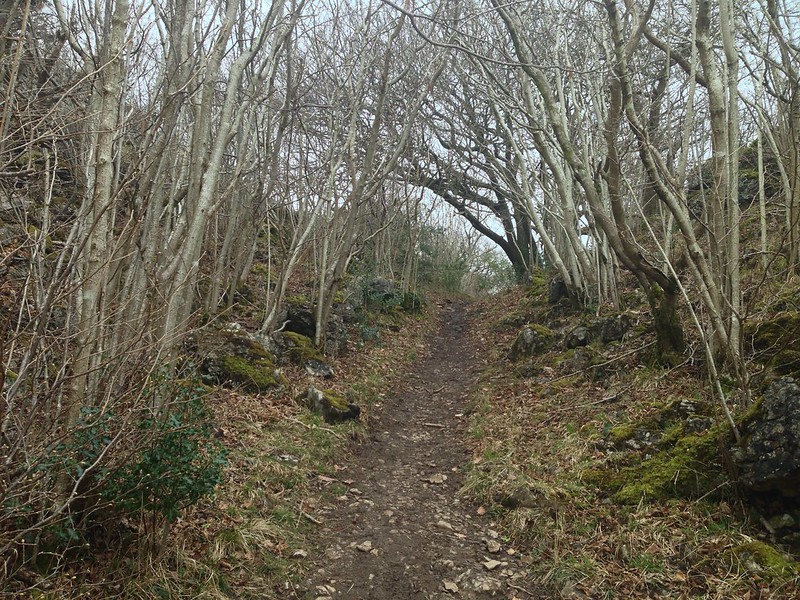
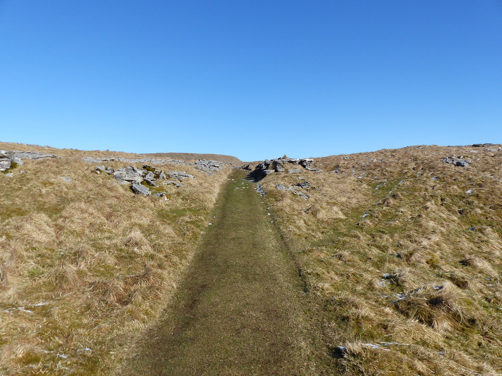
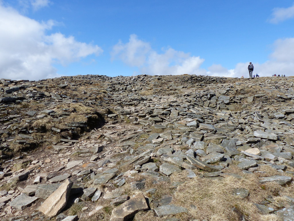
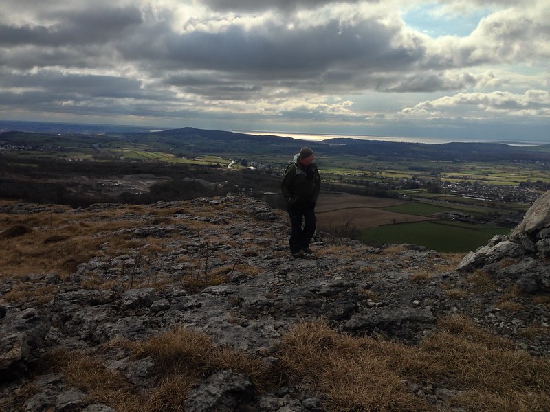
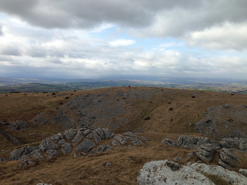
And turning the corner, found that I’d also turned the crags and was faced only with a short walk, admittedly up a steepish and unpleasantly loose slope, to the summit plateau.
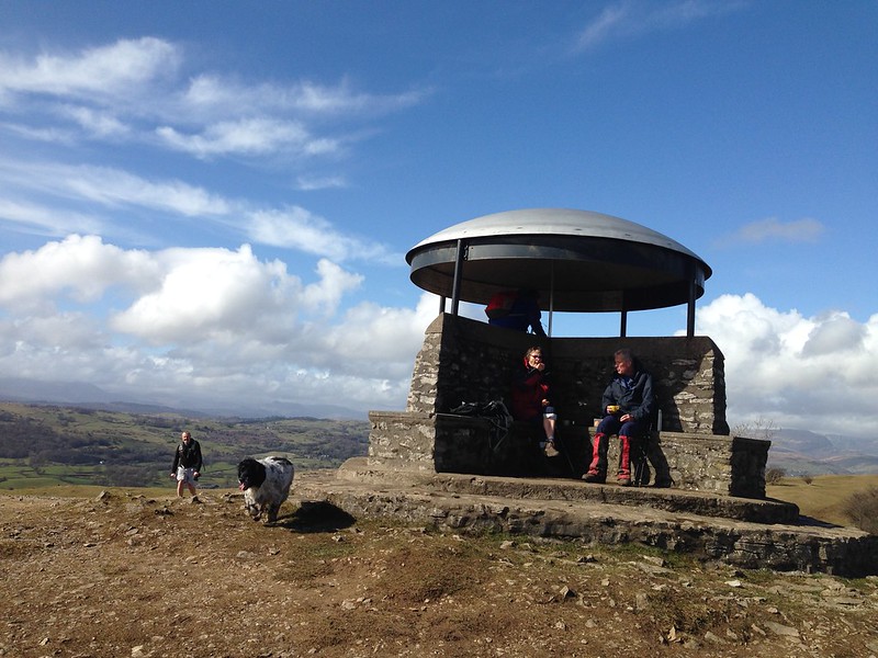
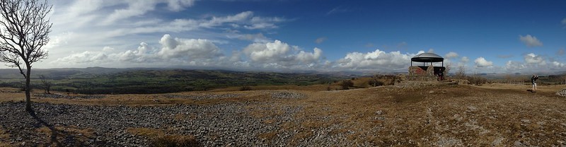
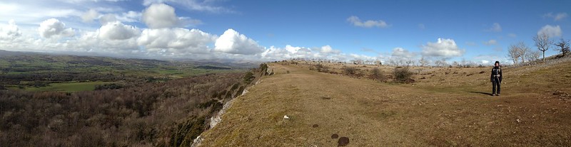
A wall runs across the top…
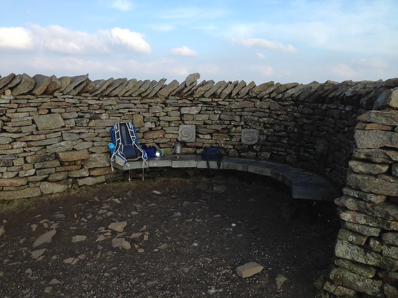
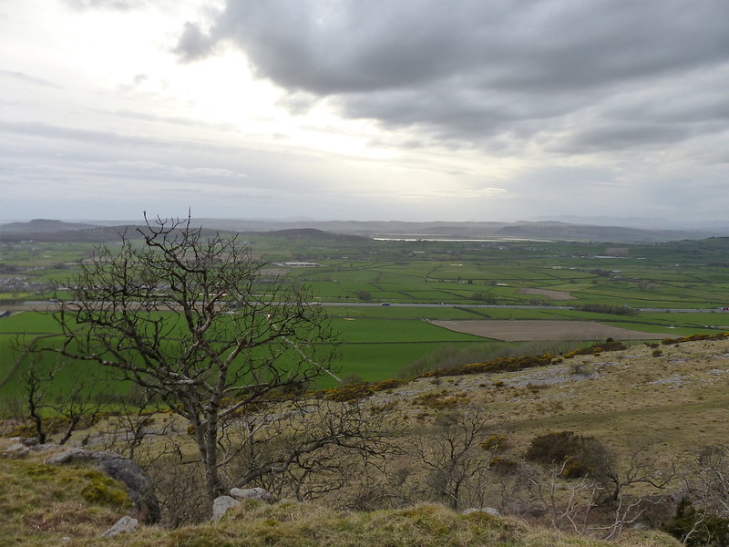
…and a clever S-shaped bend makes two shelters one facing east and one west. I sat in the west facing one, with the sun and a hazy Ingleborough in view.
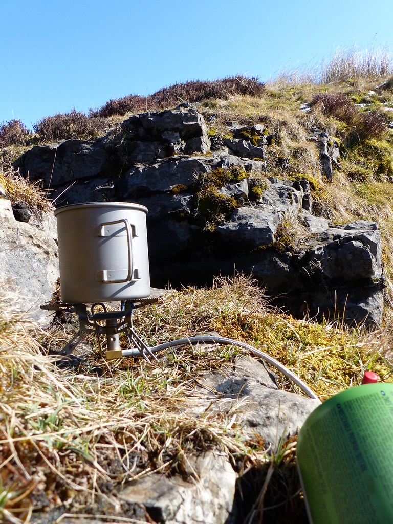
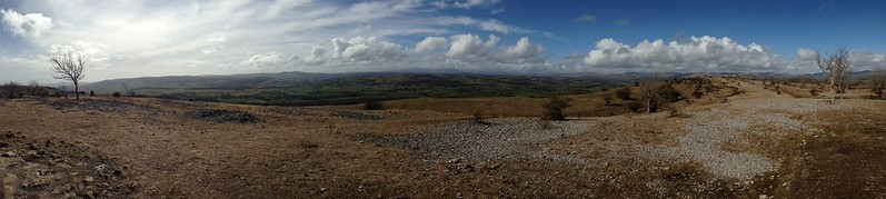
It was around 6.30 in the evening. I put a brew on and sat back to enjoy the fact that, after all the crowds I had seen earlier, I now had the top entirely to myself. It can be done, even on this most popular of hills.
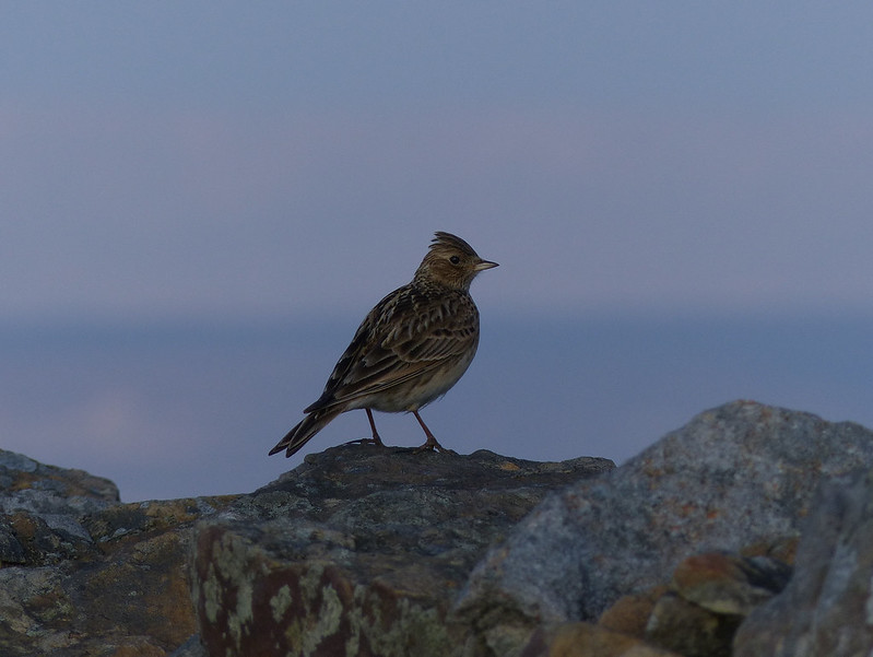
Well, not entirely to myself: I could hear the accelerating croaky-rattle of grouse and then heard and felt, rather than saw, something whirr over my head. Thinking that the bird had been so close that it must have been intending to land on the wall until it saw my head, I stood to take a look around…
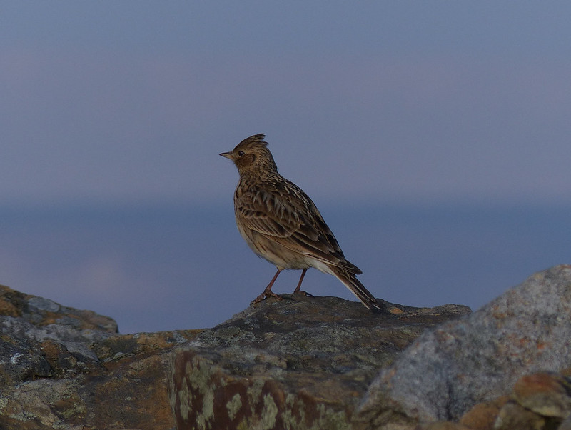
Skylark.
As I was finishing my brew, I heard a runner coming up the path behind me. He’d been surprised by the heat and was gasping for a drink. Fortunately, I had two bottles of water with me – far more than I was ever going to need, so I was able to help out.
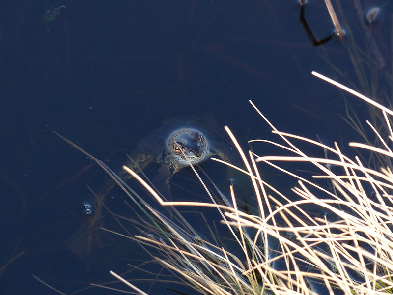
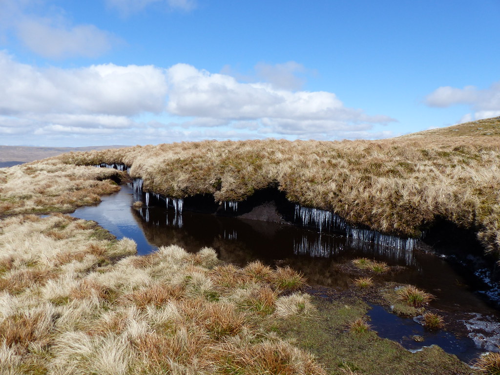
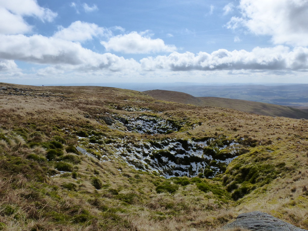
Leaving the top of Pen-y-ghent I had to cross the end of this small pond…
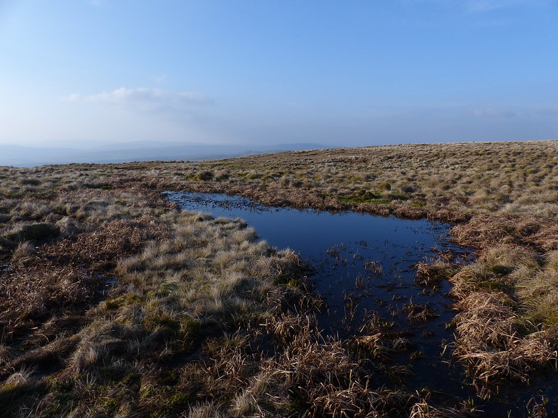
…but as I approached, something jumped from a nearby rock and splashed into the water. Only then did the constant rhythmic droning sound, which I had vaguely attributed to a distant tractor engine or perhaps an unseen drone or helicopter, properly come into focus. And looking along the pool, I could instantly recognise its source…
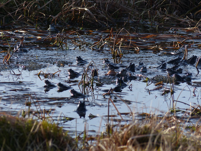
My presence caused many of the Frogs to submerge and disappear, but some were not so easily discouraged and I watched, listened and took photos for around twenty minutes.
I’ve seen this before, once in Wark Forest back in 1985 when my Dad and I were close to finishing the Pennine Way, and the other time at Lanty’s Tarn when we were staying in Patterdale YHA for a big family Easter get-together, which must be of a similar vintage.
I did think I’d seen Frogs mating much nearer home at Leighton Moss a few years ago, and then again a year later, but now I’m completely convinced that those were in fact Toads.
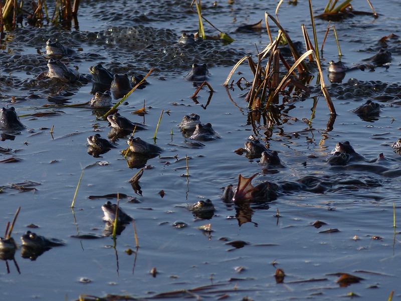
What the photos can’t capture is the singing and the frenetic activity, with balls of frogs rolling and surging and other frogs pushing and jumping to join in.
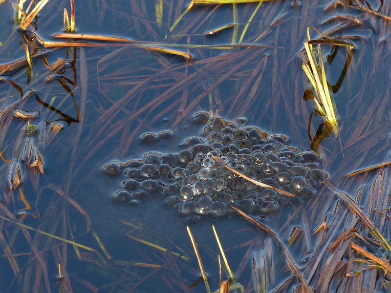
Frogspawn.
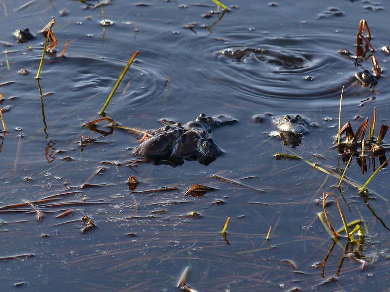
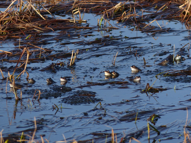
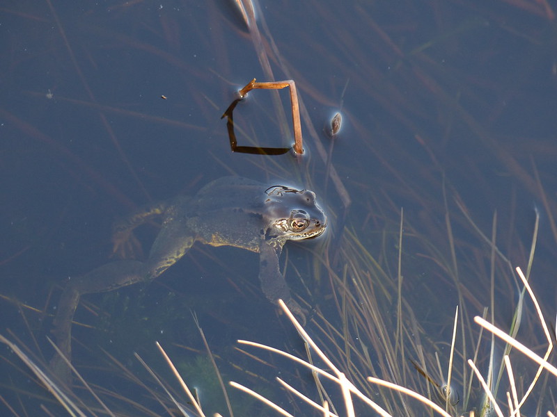
I think the Frog on the right here has his throat bulging pre-song like a tiny Pavarotti.
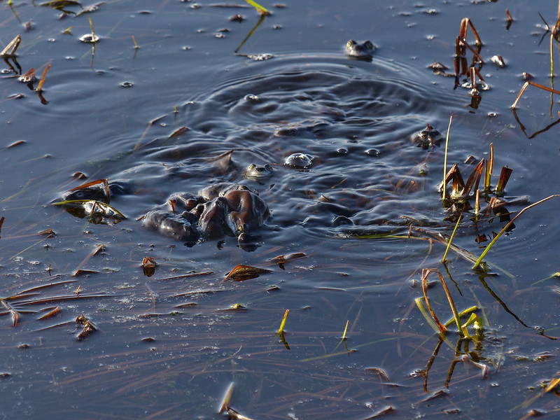
Perhaps this photo, with the boiling surface of the pond and the indistinguishable welter of Frog flesh does go some way to capture their energetic couplings. Hmmm…perhaps ‘couplings’ is the wrong word?
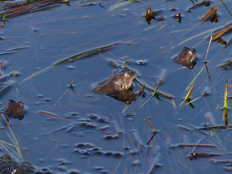
Some of the Frogs, meanwhile, held themselves aloof. This one seemed to be keeping a beady eye on me.
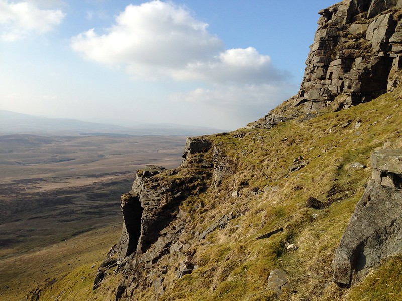
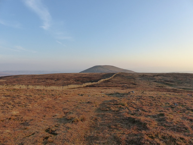
Eventually, I dragged myself away. Daylight was short, I knew, and the extension over Plover Hill would add a few miles to my walk, but the light was glorious and it seemed churlish not to continue.

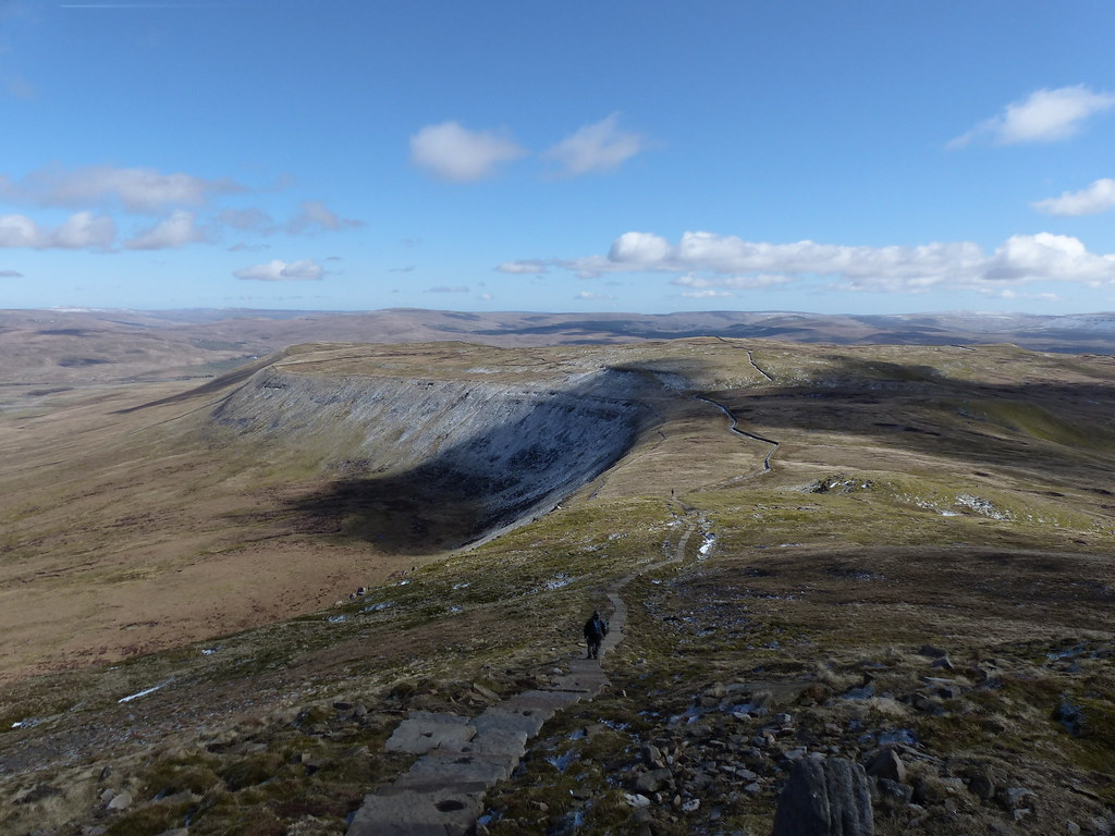
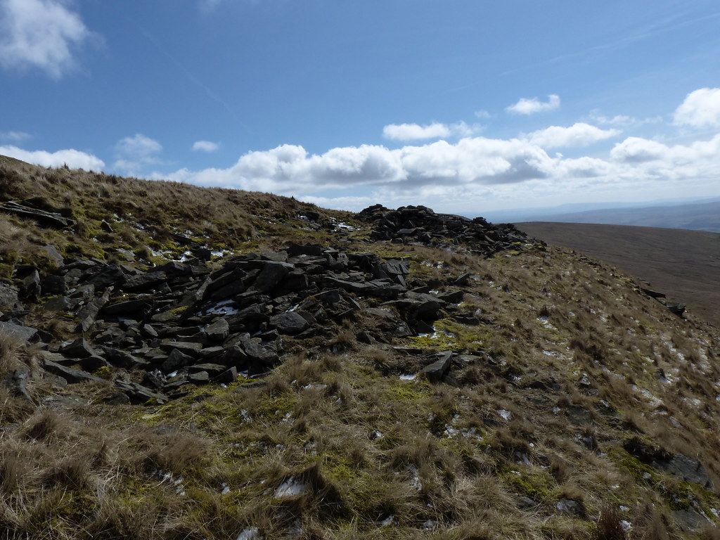
Plover Hill.
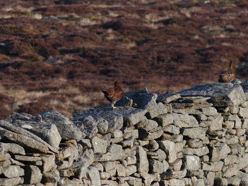
Red Grouse.
I think that the male, at least, has similar ideas to the Frogs.
Looking back to Pen-y-ghent.
I suspect I’ve probably been up Plover Hill before, but if I have, I’ve forgotten.
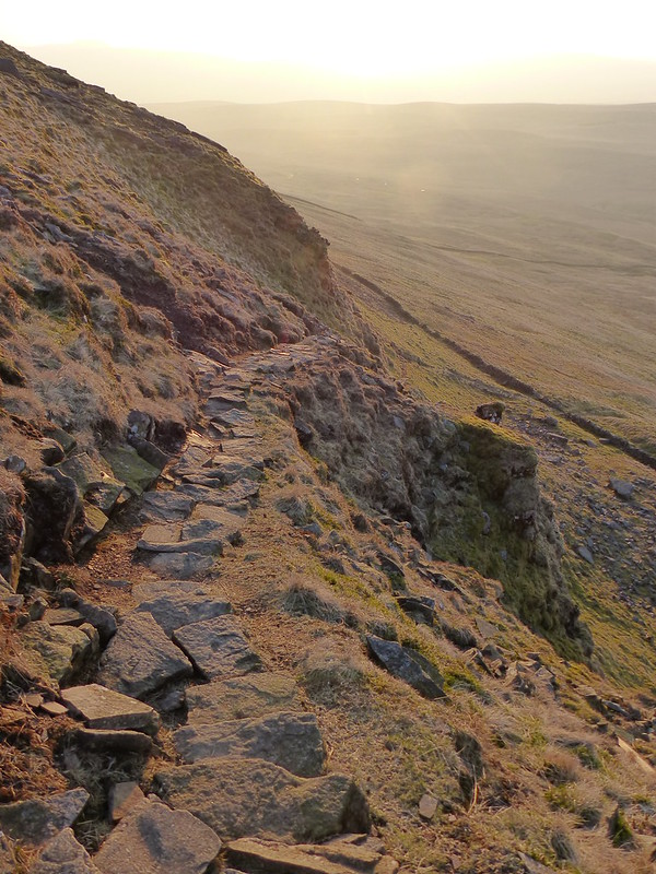
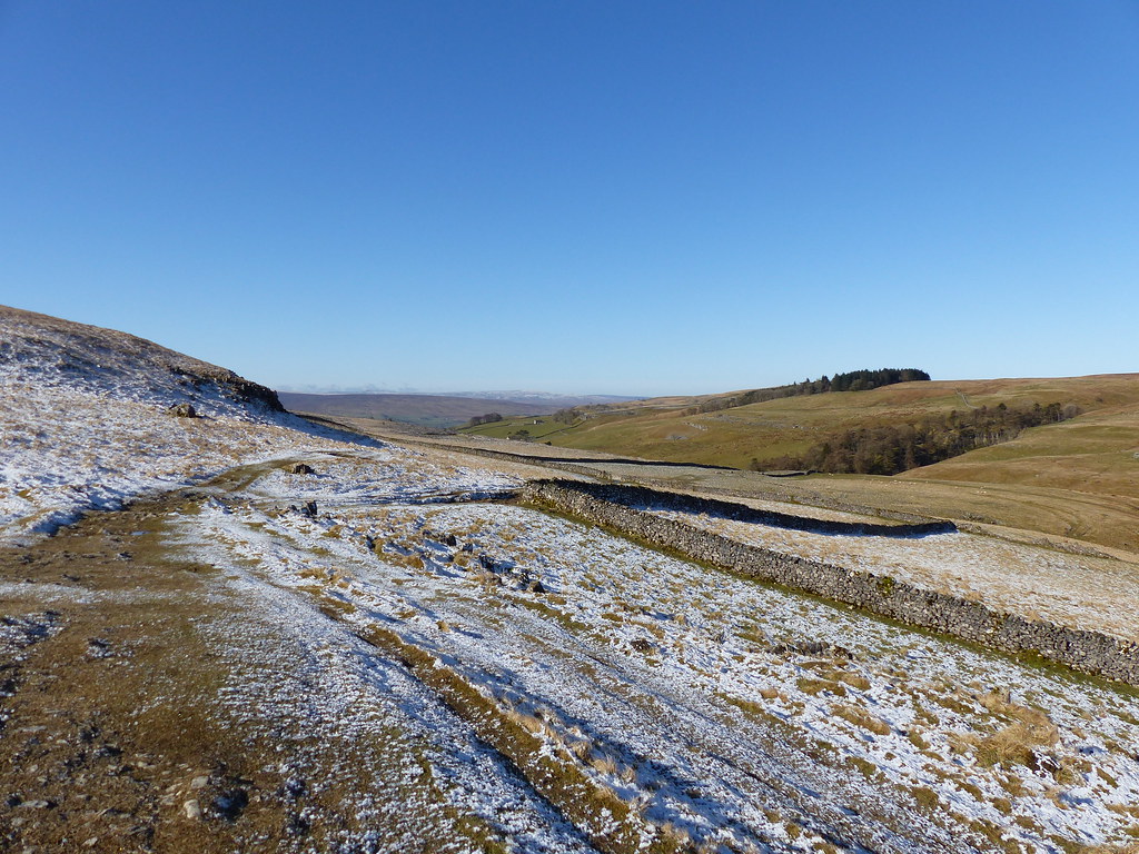
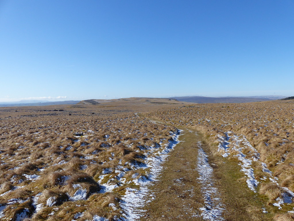
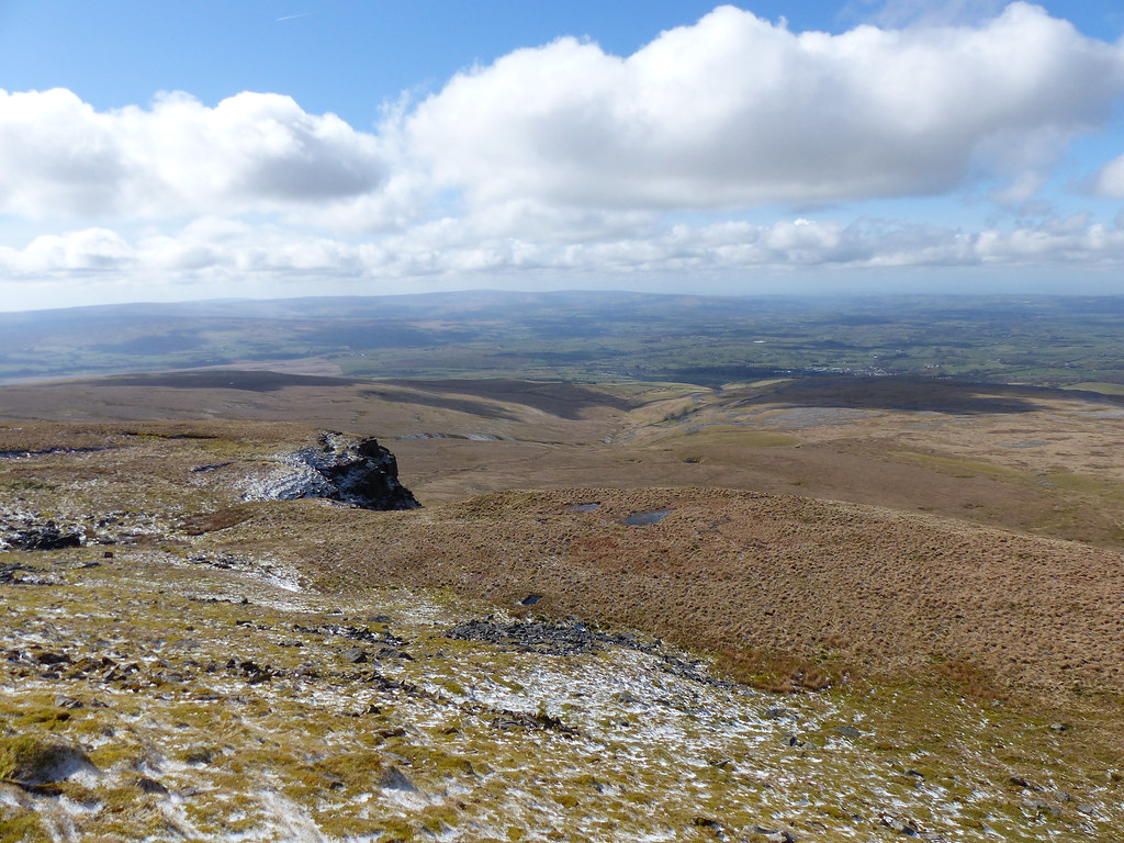
The descent towards Foxup Moor has one short steep section, but a cleverly constructed section of path cuts down across the slope at an angle, taking the sting out of it.
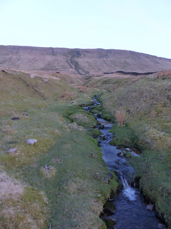
Looking back up to Plover Hill.
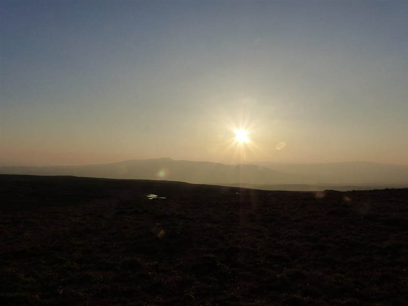
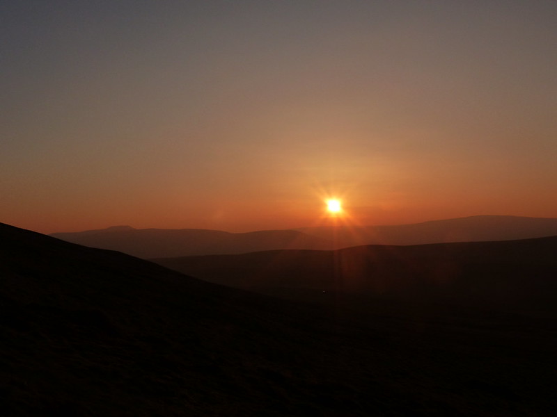
With both me and the sun losing height, I knew that sunset must be imminent. I kept walking 50 yards or so and then taking another photo.
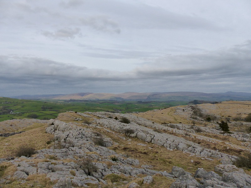
Ingleborough on the left. Whernside on the right?
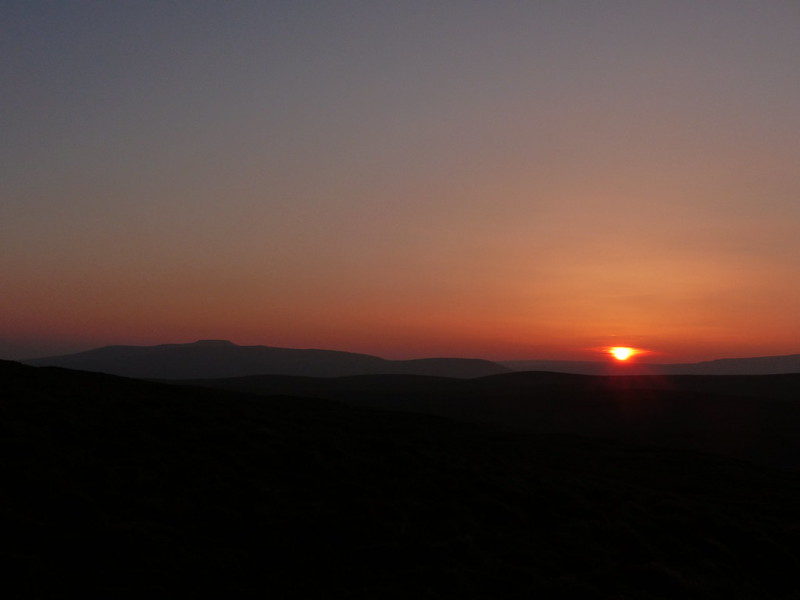
The last of the sun.
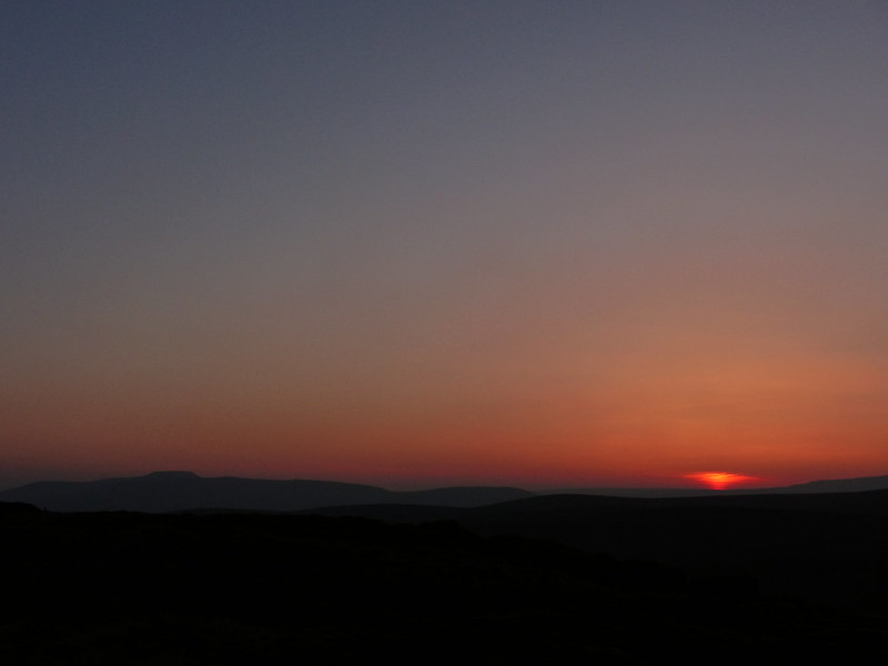
Afterglow.
Fortunately, sunset photographs can be misleading: I still had plenty of light to walk by…
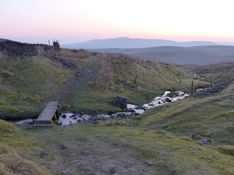
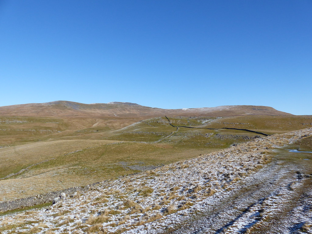
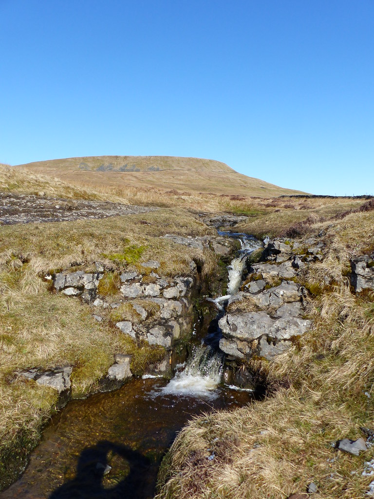
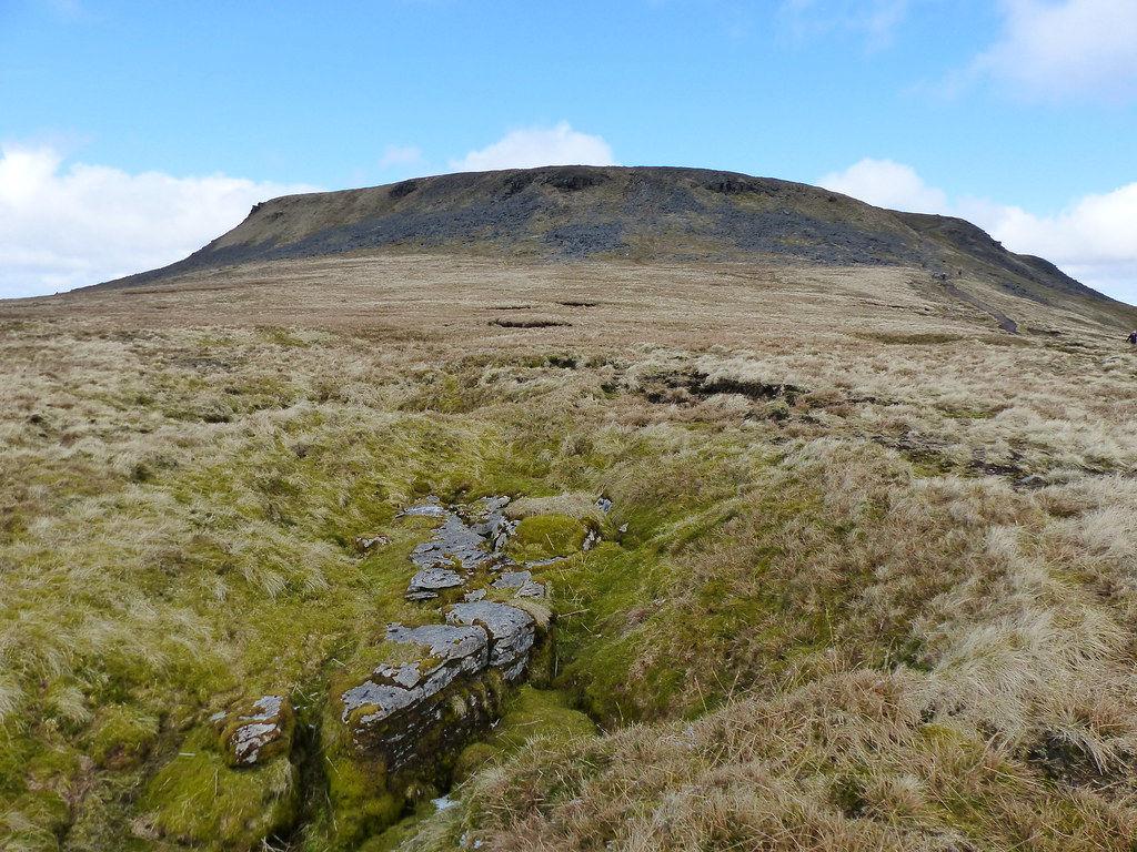
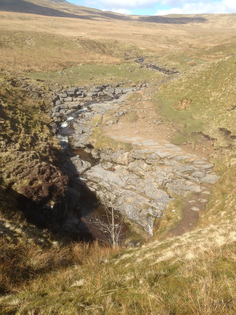
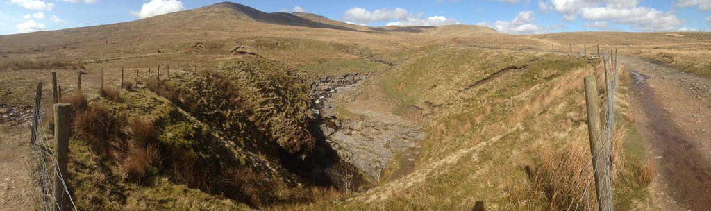
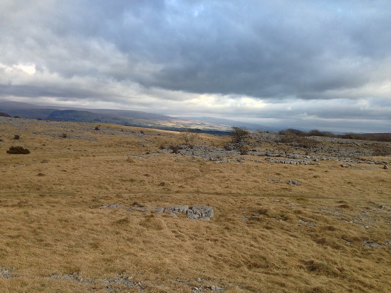
The path is Foxup Road, which, at first at least, gave excellent walking through what looked to be very rough and tussocky country. The stream is Swarth Gill Sike…
…which looked to have waterfalls upstream and would make for an interesting route on to Plover Hill for another day.
At this point I stopped taking pictures and concentrated on getting as far down the hill as I could while the light remained. Sadly, the path eventually became fairly boggy, which was a bit awkward in the poor light. When I reached the end of the walled lane down into Horton, I realised that I couldn’t read the fingerpost and so finally switched on my headtorch. But I knew the walk from there would be relatively easy anyway. My final mile or so, in the gathering gloom, was enlivened by the lyrical calls of Pee-wits and a cacophony of squabbling Jackdaws settling down to roost in a nearby wood.

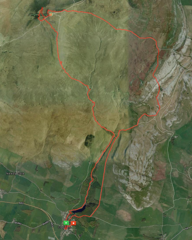
Just over 10 miles and 500m of ascent. Not bad for a spur of the moment thing.

Not that it’s the stats I will remember!


