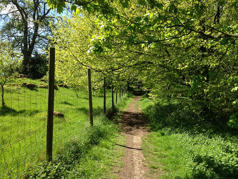
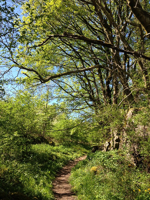
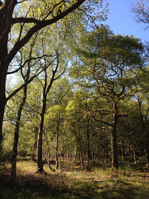
Woods near High Biggins.
Mid-May and the rugby season has apparently come to an end. Or at least, there was an end-of-season award ceremony organised at Underley Park (midweek training is set to continue, seemingly indefinitely*). The ground was extremely busy, with extra-parking laid on, large marquees and a number of enormous trailers on site, not because of the junior rugby awards, but because Hollywood was in town, filming a scene (or scenes?) for a new Dr Doolittle movie. We kept our eyes-peeled, but Robert Downey Junior and Antonio Banderas weren’t in evidence. Due to all the excitement, the awards were slightly delayed, but the assembled families picnicked, played a little rounders and enjoyed the fabulous weather.
The whole event was over by around two, and having anticipated this, I had decided to fulfil an ambition I’d been nurturing throughout the season: to walk home from Kirkby. In truth, this had not been my original plan, but when TBH made a last minute decision to join the boys and I, I hastily threw my rucksack, maps and a change of shoes into the boot. So that when I set off, I didn’t have a route planned, or know quite how far I would be walking. For that reason I chose not to start from Underley Park, but asked instead to be dropped off in Low Biggins, just across the busy A65 from Kirkby.
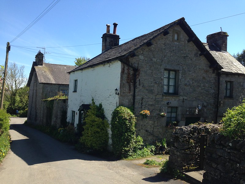
Cottages in High Biggins.
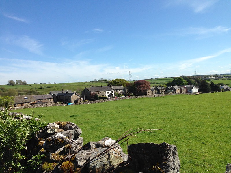
A short walk brought me to High Biggins, which seemed a very sleepy place and which I don’t think I’ve ever been through before.

A coat of arms in a wall. Linked to High Biggins Old Hall? (Which I missed somehow, I shall have to come back.)
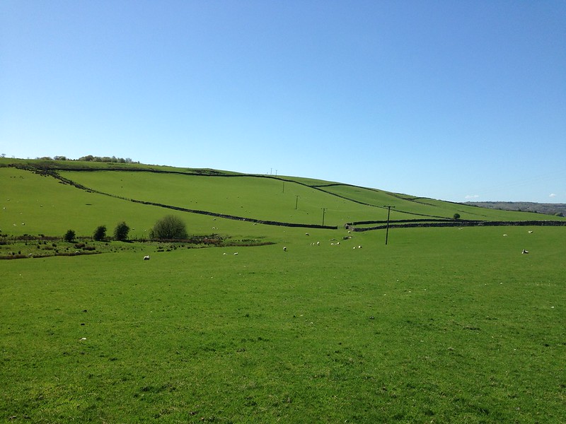
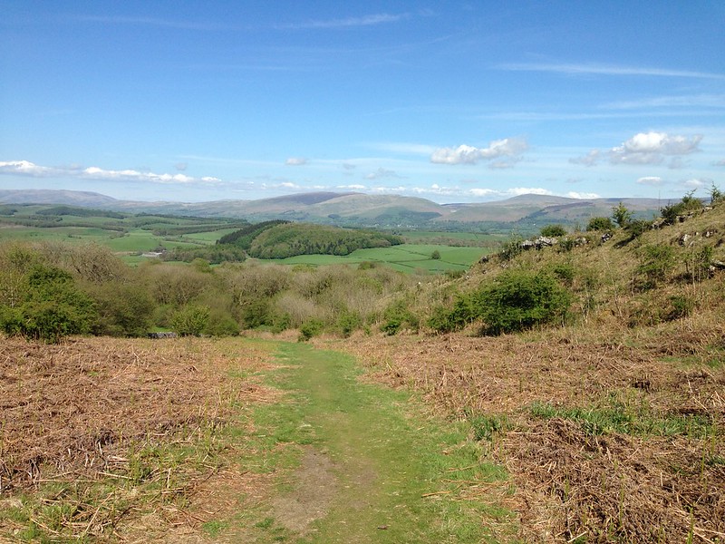
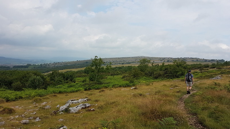
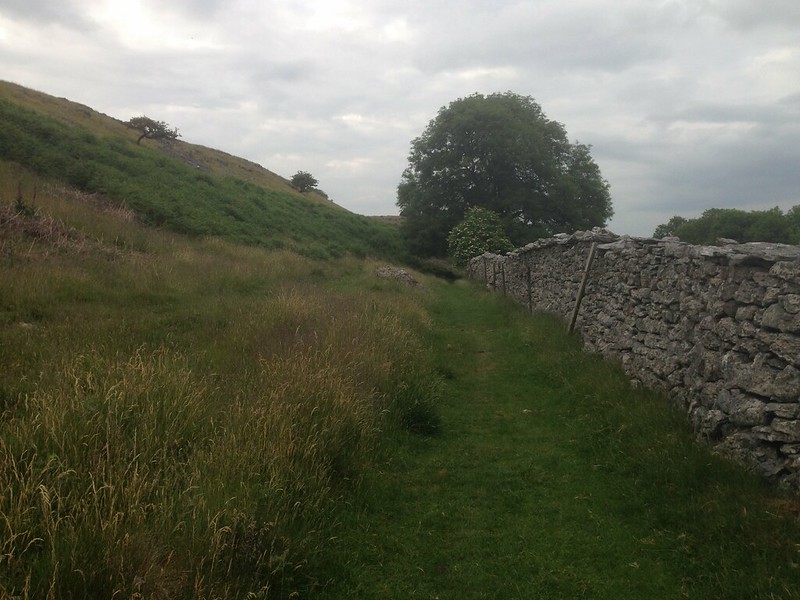
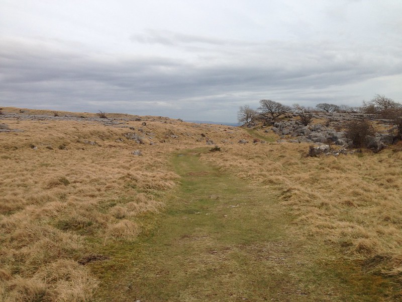
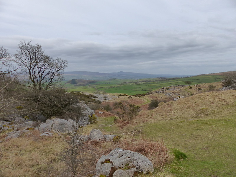
Heading towards Hutton Roof.
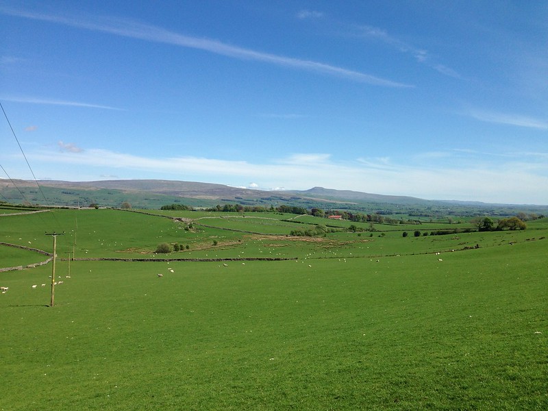
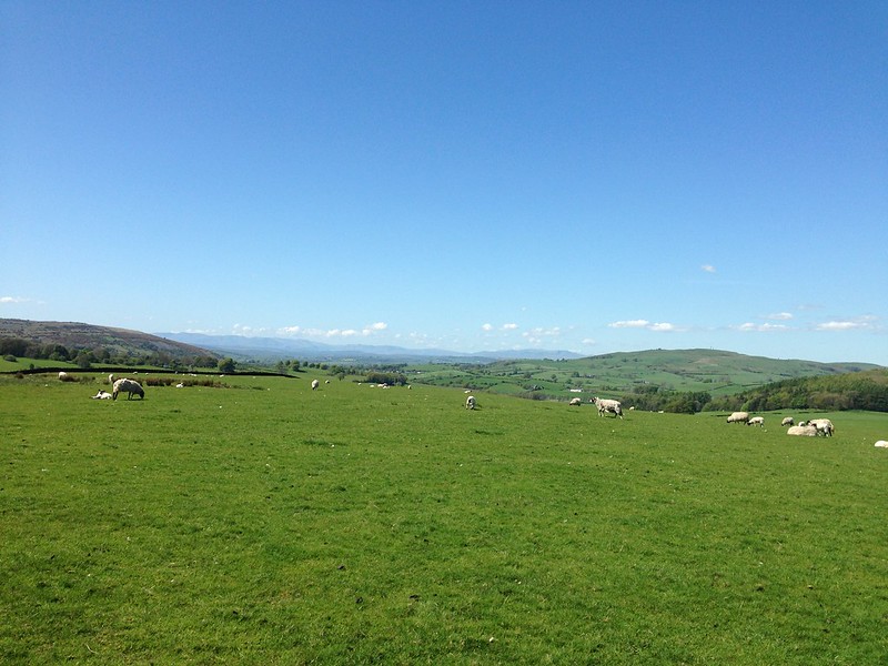
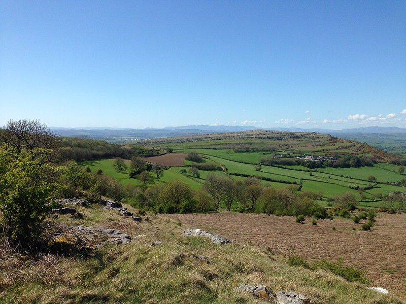
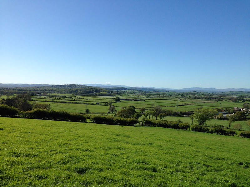
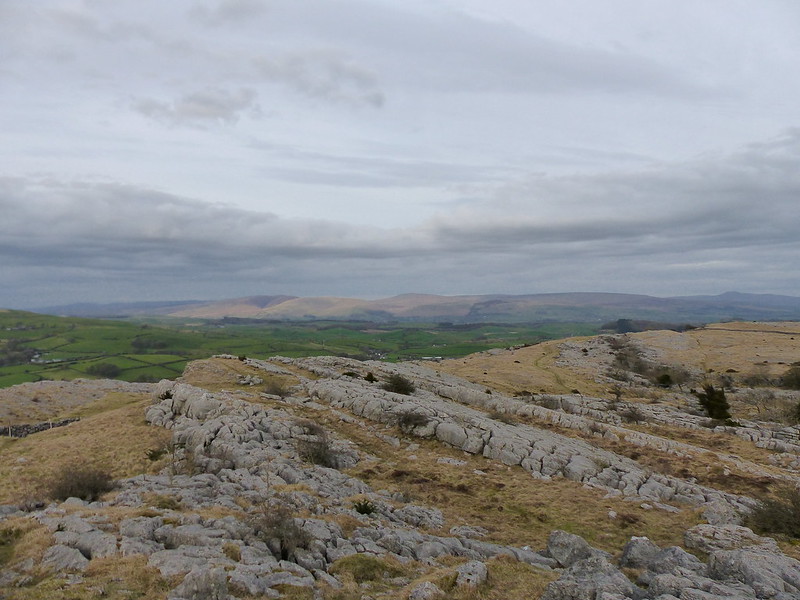
Looking back. Gragareth and Ingleborough on the horizon.

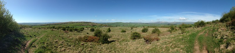
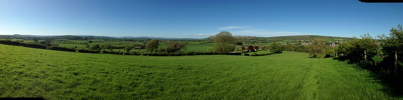
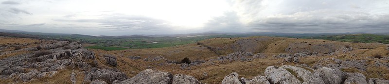
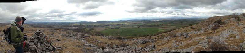
Longfield pano.
The hill on the right here is Scout Hill.
Looking back again.
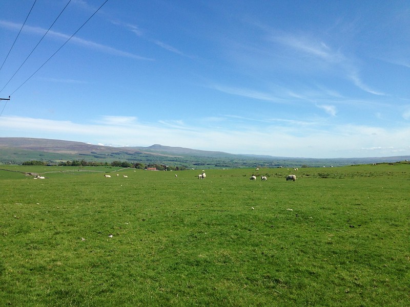
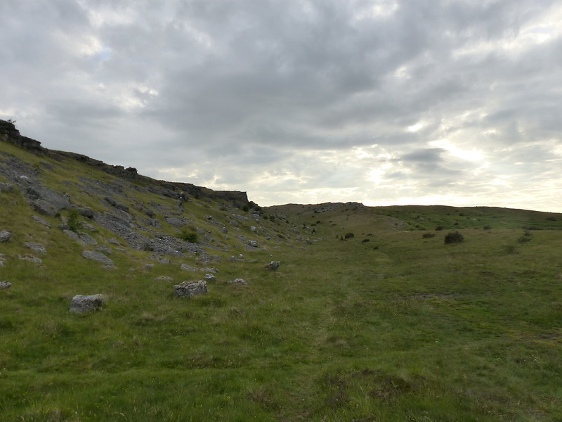
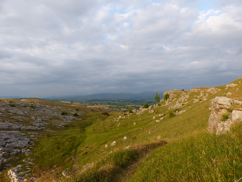
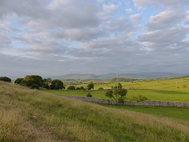
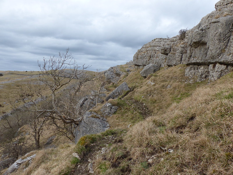
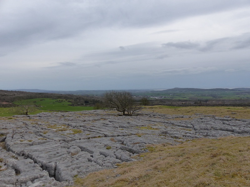
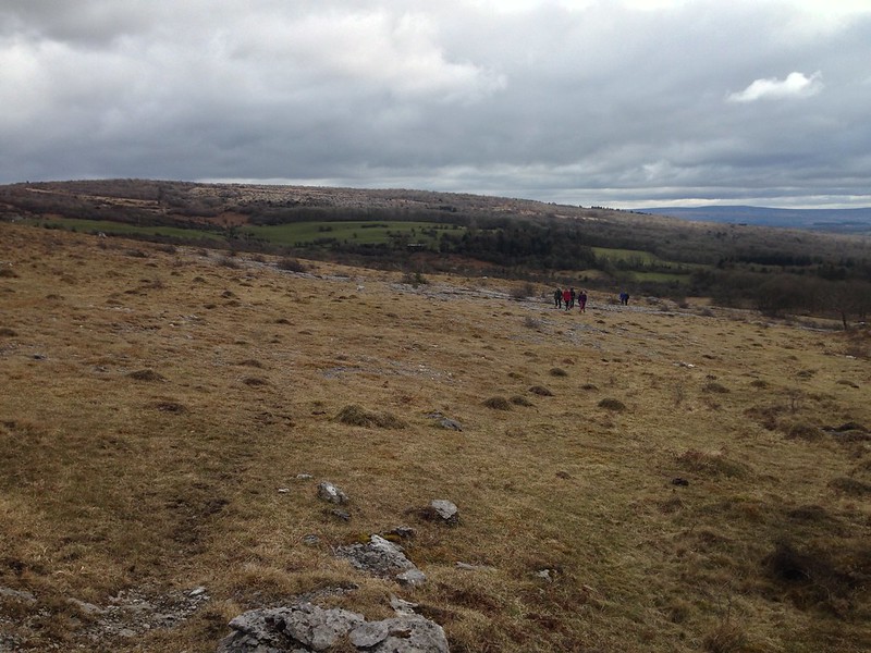
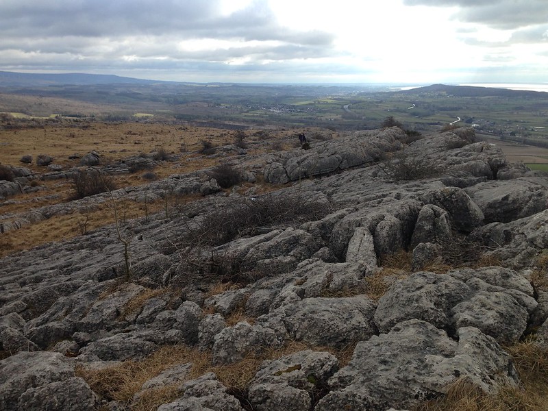
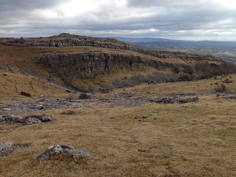
Hutton Roof Crags and Farleton Fell.
Hutton Roof.
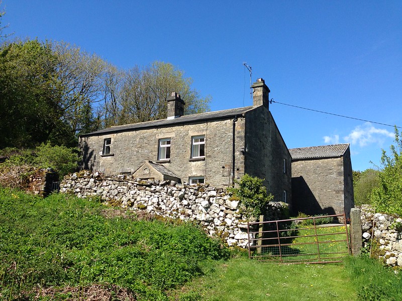
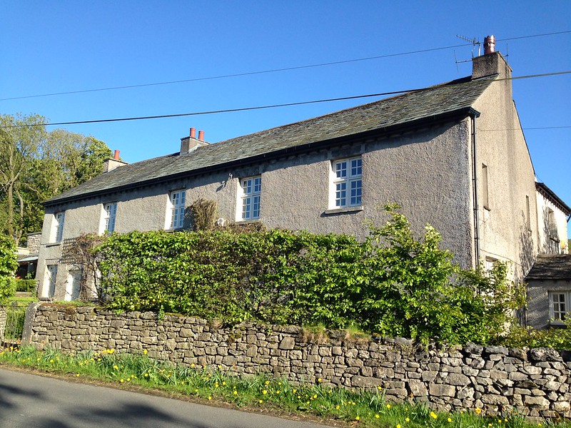
I liked the look of this house, on the outskirts of the hamlet, nestled into the hillside and dated 1874 over the porch door.
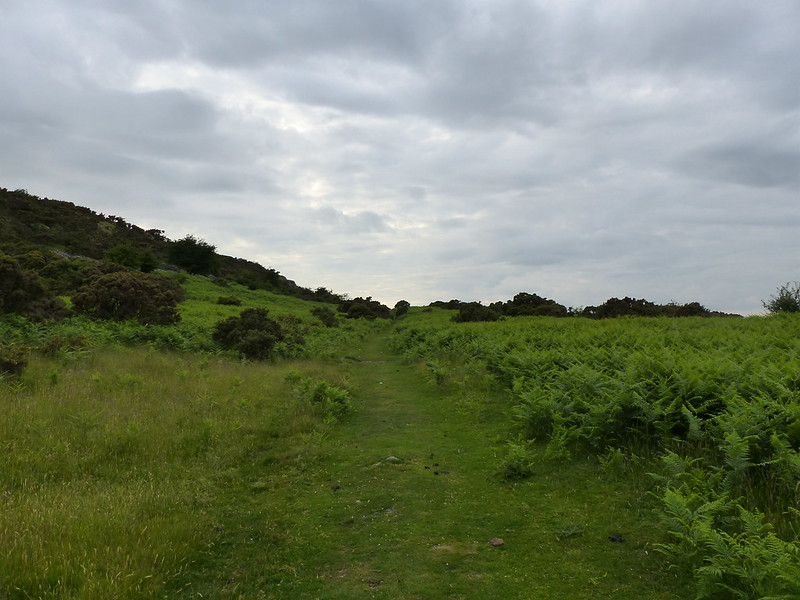
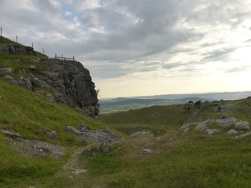
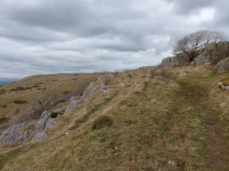
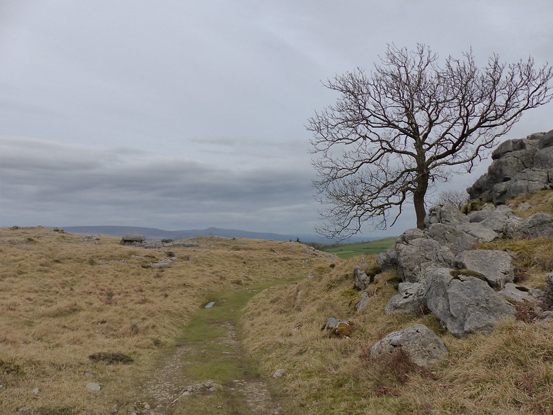
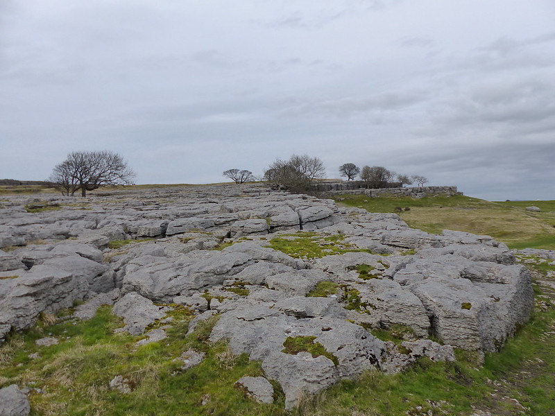
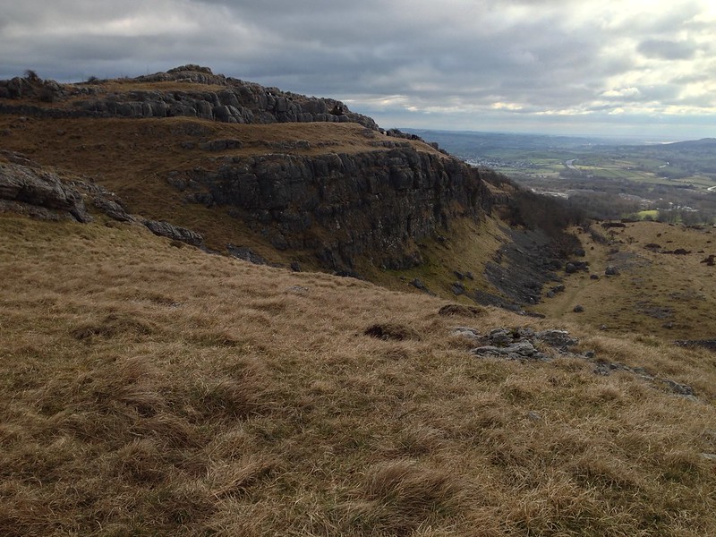
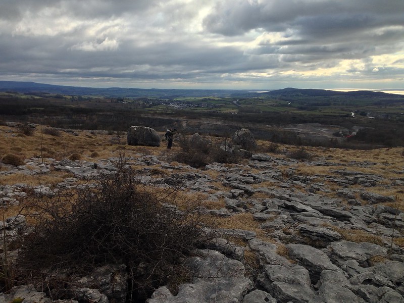
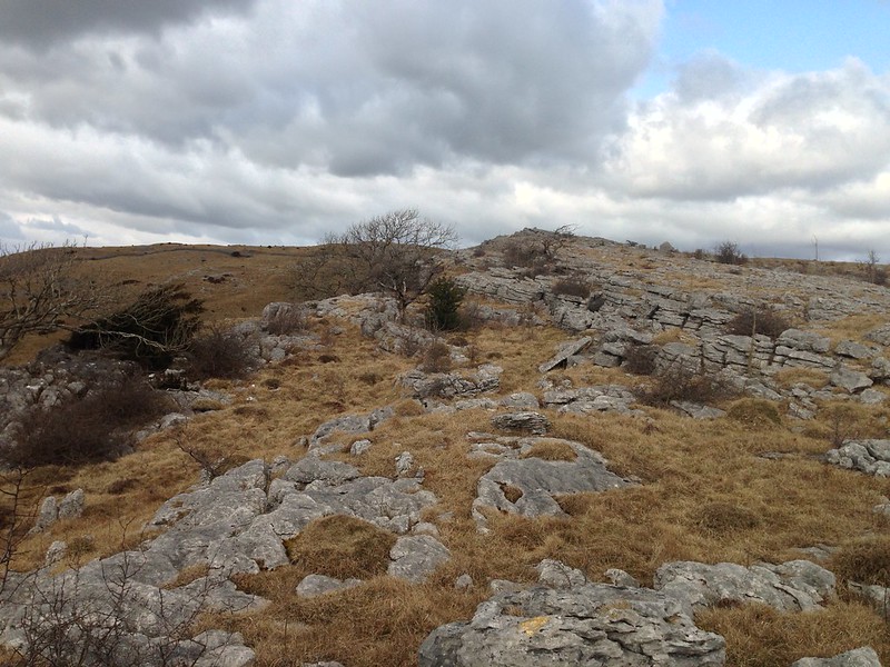
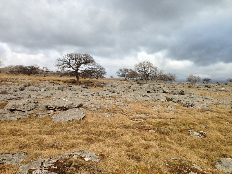
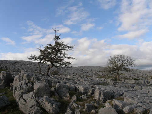
On Hutton Roof Crags.
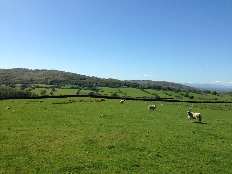
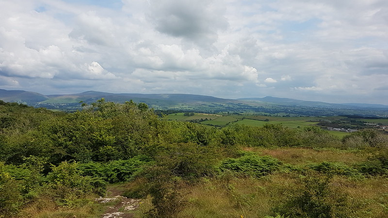
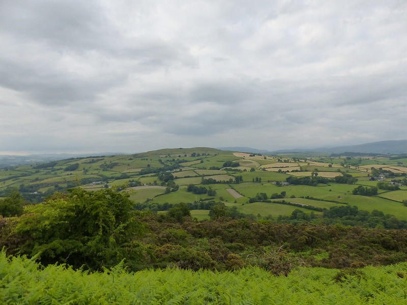
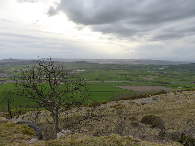
Looking back towards the Middleton Fells.
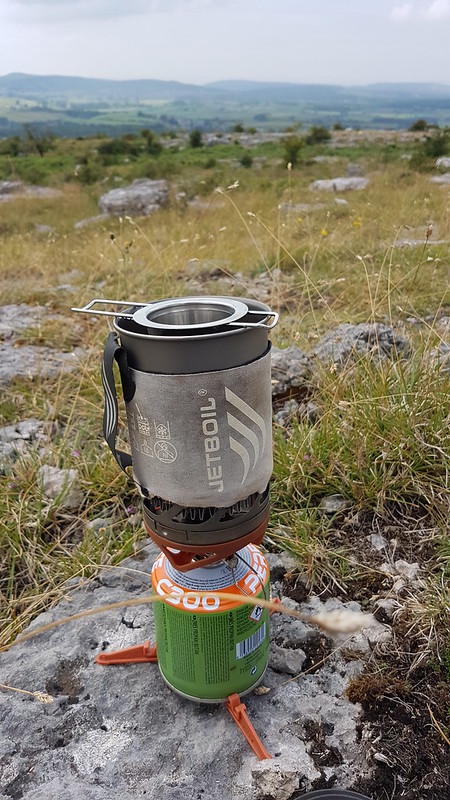
It was hot. Just before she left me TBH asked if I had enough water and I said that I did. I was wrong. This little puddle…
…,rather a surprise on a limestone hill, was no use to me, sadly.
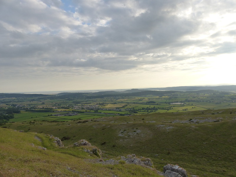
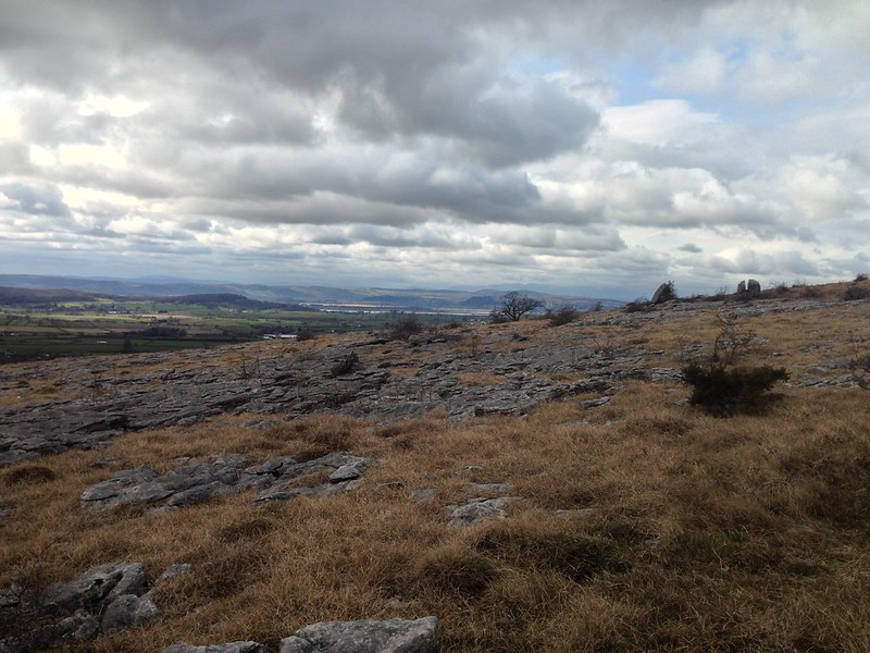
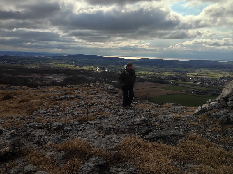
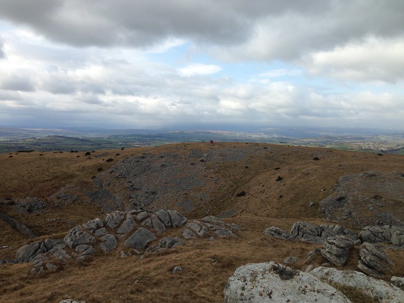
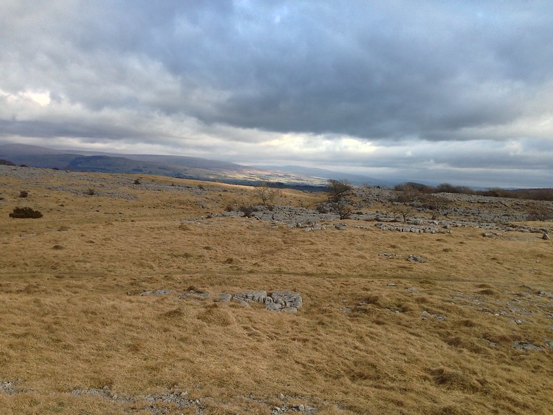
Farleton Fell. Lake District Fells and Howgills beyond.
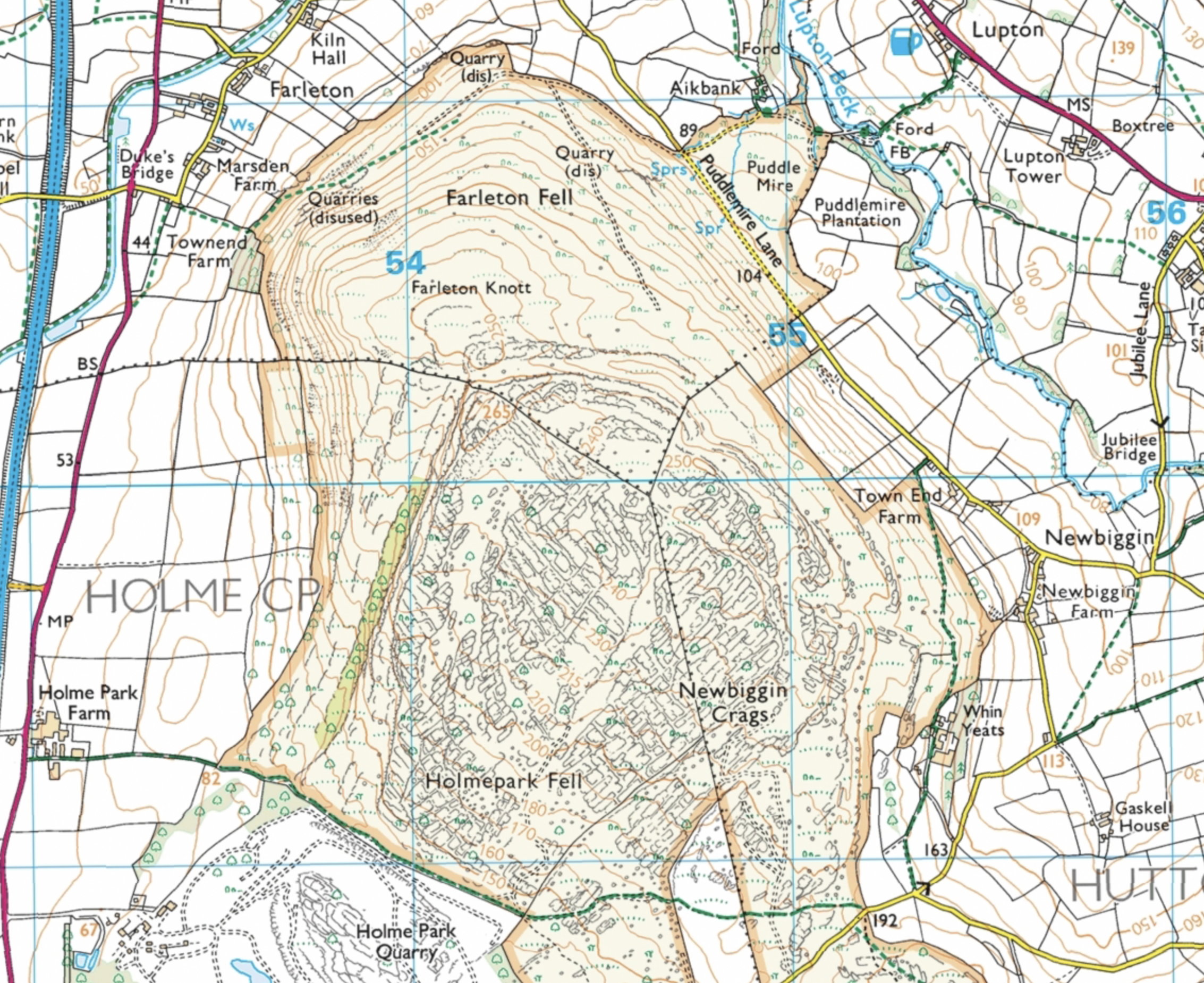
I’d climbed on to a path slightly higher than the right-of-way shown on the map, but the views were more than sufficient compensation.
Panorama.
Once I met the Clawthorpe Fell Road I followed that for a while, before picking up Snape Lane and dropping down to Burton-in-Kendal. I’ve walked this way more than once before, so was surprised to come across an entrance into the Lancelot Clarke Storth Nature Reserve which I haven’t used before. I shall have to come back.

Field just outside Burton. These shiny, plastic covered fields seem to be a growing phenomena. Is the plastic acting as a sort of cloche?
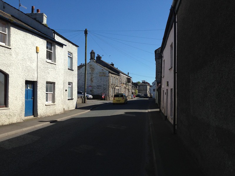
Burton-in-Kendal.
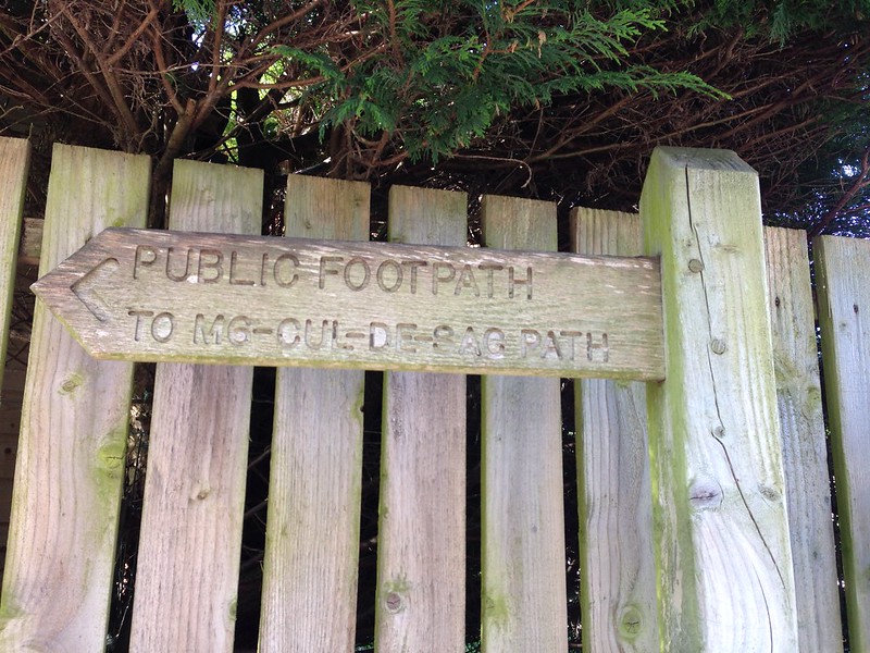
Sadly, I didn’t read this sign the first time I walked past it. If I had, I could have saved myself a rather pointless out-and-back.

M6 and Farleton Fell. Some people like these things apparently. Sorry there’s no junction, Andy.
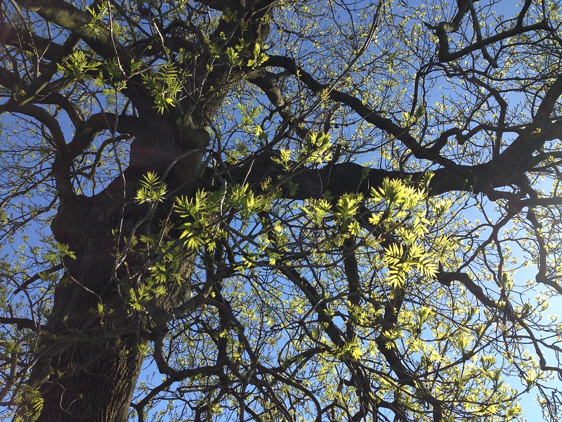
Ash tree, finally coming into leaf.
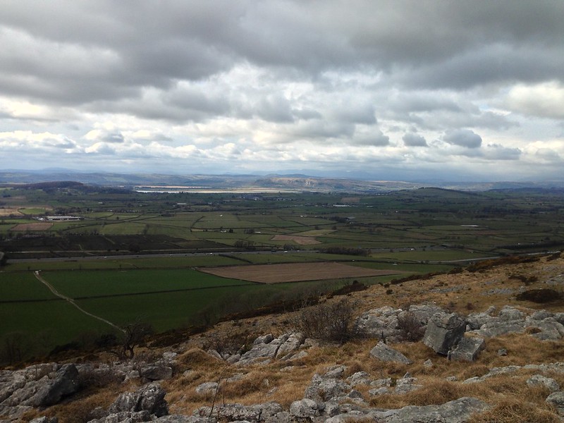
Beetham Fell in the middle distance, Lakeland Fells beyond.
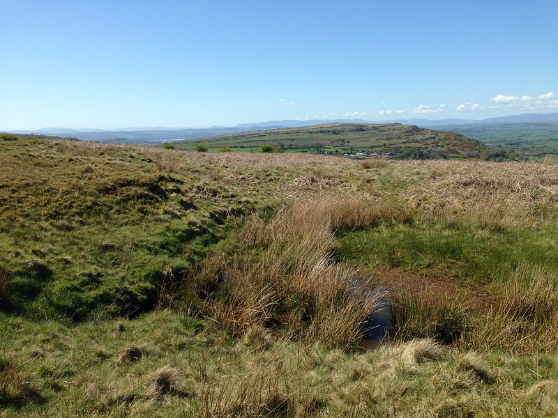
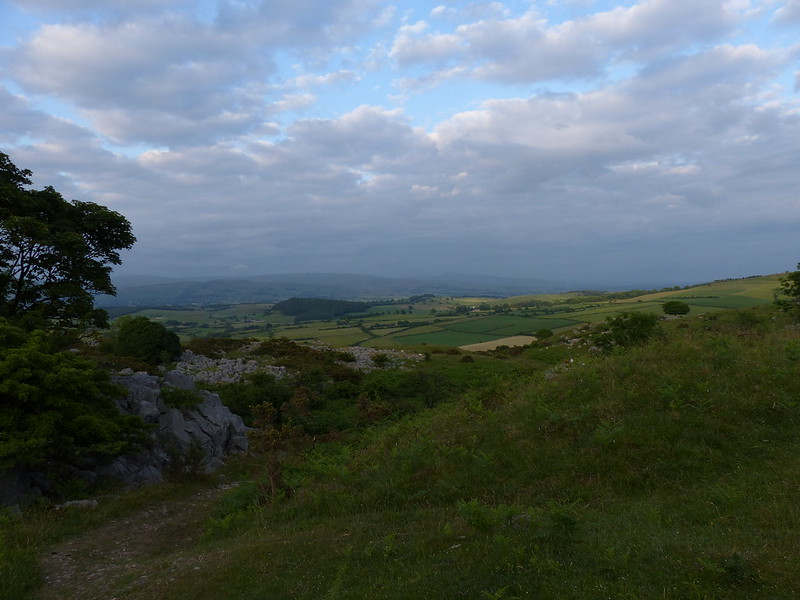
West of the motorway, there’s a tiny lump called Hanging Hill. I suspect the name probably signifies a grim past. The path doesn’t even cross the highest point, but this modest height has really expansive views.
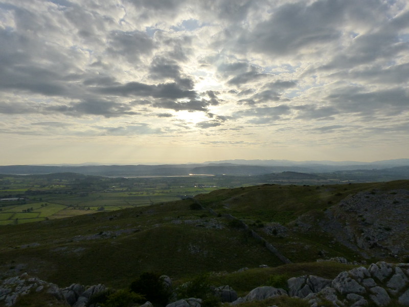
Hanging Hill pano.
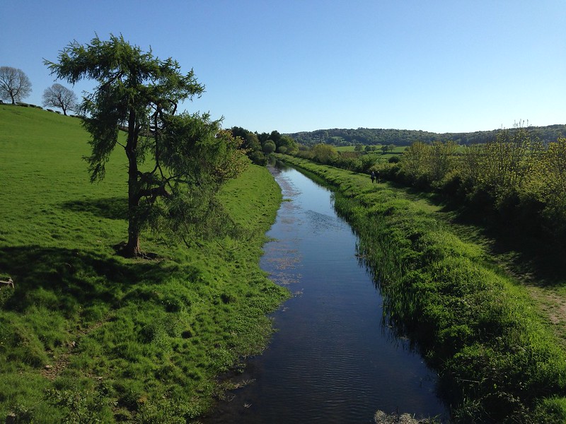
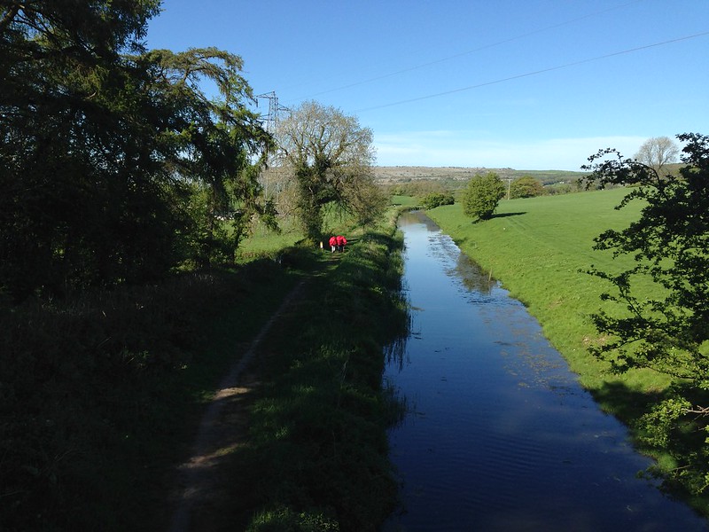
Lancaster Canal.
The map doesn’t show a towpath here, but clearly there is one.
I’d followed this DofE party…
…over Hanging Hill. I found out later that they are friends of A and had been lost, which I was wondering about, because it was quite late on a Sunday afternoon now for them not to have finished. The bright rucksack liners are colour-coded so that different groups from the same school can be easily identified from a distance, which seems like a good idea.
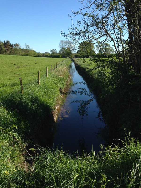
I passed through the tiny hamlet of Hilderstone and then through a section of the walk with very flat farmland and numerous ditches, sharply contrasting with what had come before.
I must have been tired when I reached the A6, that’s my excuse anyway, because I temporarily turned the wrong way. I was worried that the path leaving the A6 might not be very well-used, but I found the stile okay and it wasn’t completely overgrown. The first field though, turned out to be thoroughly water-logged, which didn’t seem to deter the Lapwings which I think were nesting there.
White Moss is relatively close to home and has some permission paths as well as the one shown on the map, and yet it’s many, many years since I last walked here.
I must make more of an effort!

White Moss.
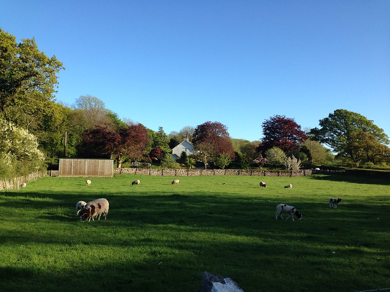
Yealand Hall.
High excitement at the corner of Thrang Brow Lane and Storrs Lane…
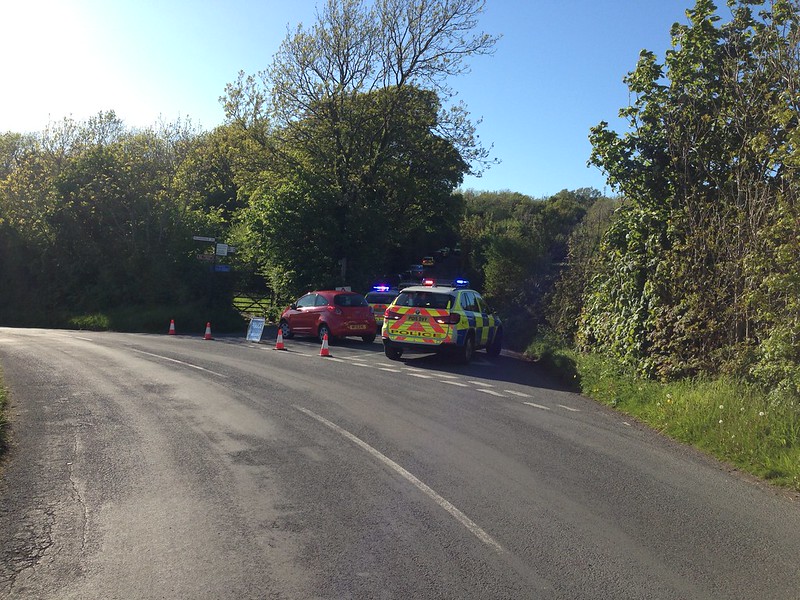
I think I counted eight or nine emergency vehicles, some of which were unmarked. I don’t know what had happened, but I hope that everyone was okay.
Copper Beeches on The Row.
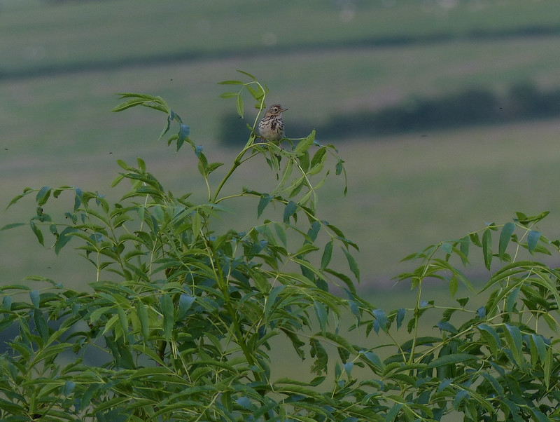
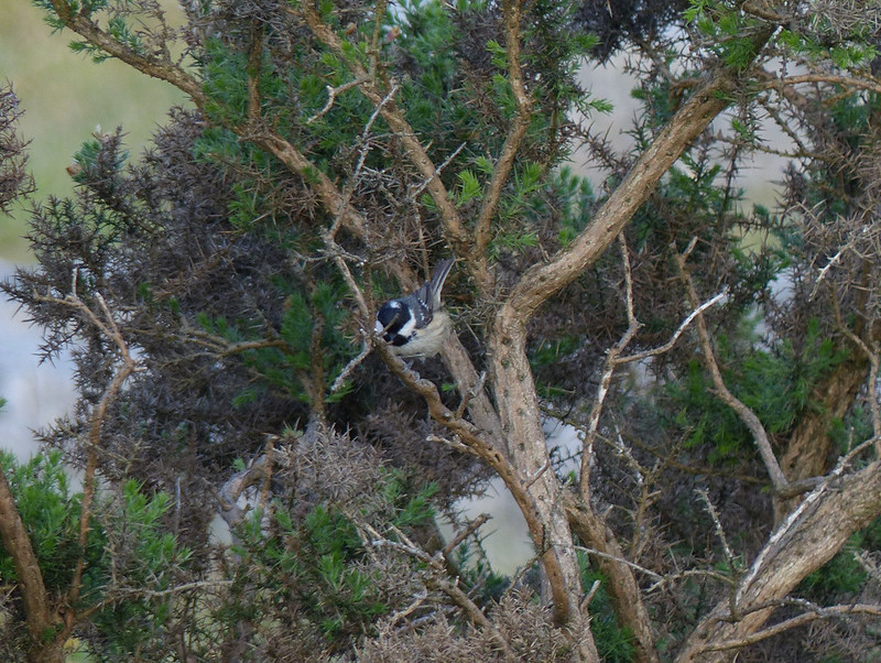
Incidentally, there were a few butterflies about, and plenty of birds to enjoy, but I didn’t take any photos, because I only had my phone with me, and anyway was trying not to hang about. The walk was a little over 14 miles, which took me a little over 5 hours, which is a good deal faster than I usually walk, but I wanted to get home in time for my tea. Which I did.

Given that I improvised the route as I went, I think I made some good choices. Next time I walk it, I think I will go over Hutton Roof Crags and down through Lancelot Clark Storth, but otherwise I would probably stick with this route. A pie and a pint in Burton wouldn’t go amiss either!
*Which is a Good Thing. No really, it is a Good Thing. What else would you do with a Wednesday evening in the summer, when the sun is shining and the evenings are long?


