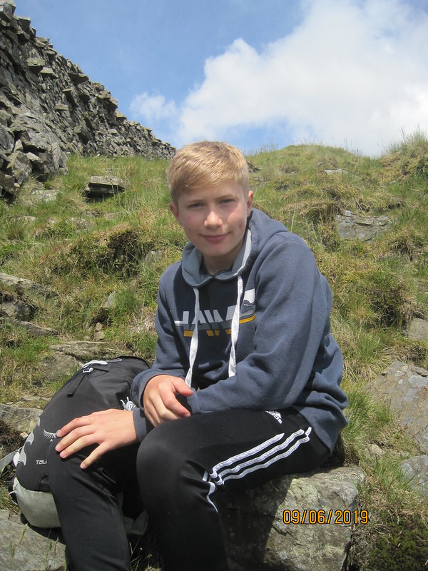
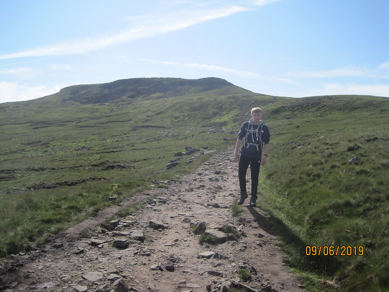
I feel like I’ve been broadcasting my intention to do this walk for far too long, so without further fanfares – here it finally is. That’s my old school friend JS, close to the top of Causey Pike, at a very anti-social hour on a Saturday morning. Registration for the event opened at 6am and I arrived very promptly, but then mistakenly hung around in the car park waiting for JS: I should have know that he would be there before me, in fact he was the very first person to turn-up to register at 5.30am – he leaves nothing to chance. In my defence, he had only come from his hotel in Keswick, whereas I’d been up at 4 to drive up from home.
We thought we would be walking shortly after 6, but it transpired that the earliest start was at 6.30 to allow the marshals to get out on the course – each summit housed a small tent, a few volunteers and quite often some water and snacks to be shared.
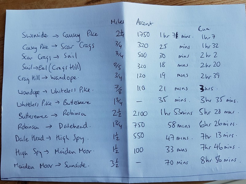
This is the initial, highly scientific, schedule I drew up. I did a second version with extra time added into each section to give an overall time only slightly under 10 hours.
After a prolonged spell of cool and often damp weather, this mid-summer Saturday brought much hotter conditions. We started the walk in shade, but as we began to climb were soon in the sun, and right from the off it was very warm.

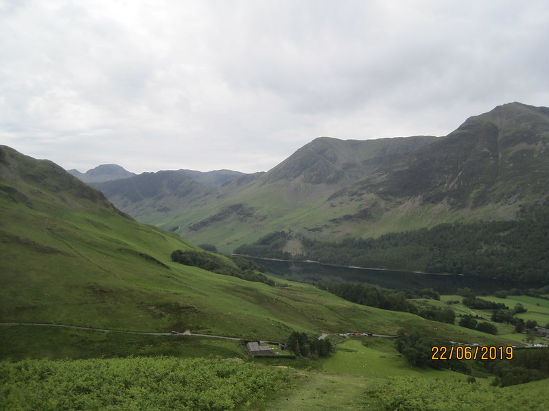
Dalehead, Hindscarth and Robinson from Causey Pike.
We were already a little behind my schedule by the time we reached the summit of Causey Pike, but over the next section we were making up time. As we descended into Butttermere, it briefly clouded up…
Just by the tiny church in Buttermere, a handful of gazebos had been erected. Refills for water bottles, and all manner of cakes, and savouries were available, best of all, really refreshing slices of orange. Like many others, we stopped here for some lunch, which put us back behind schedule.
The climb out of Buttermere and up to High Snockrigg was, for me at least, purgatorial. There was no breeze, the sun had appeared again, and I was seriously over-heating. JS was very patient with me as I inched up the slope. He’d tripped on the descent into Buttermere, and gone over on his ankle, but was admirably stoical about the discomfort he was suffering.
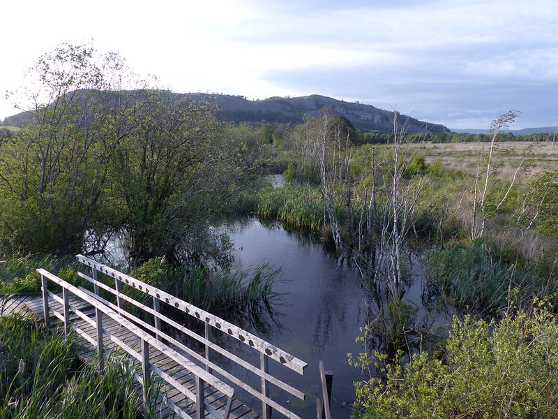
Buttermere Moss was every bit as soggy as I remembered from my last visit many moons ago. The path which ascends Robinson cuts across the slope in the photo below…

Robinson from High Snockrigg.
…rising from right to left. The angle was a bit easier, there was now a hint of a breeze and I would have been much happier except I recognised the tell-tale sings of the onset of cramp. I found that if we stopped and sat down for a few minutes when it came on, or better yet, just before it set in, then we could get up the slope in steady bite-size chunks.

Buttermere from Robinson.
From this point on, I seemed to get a second wind. The incidence of cramp became less frequent and less debilitating, eventually ceasing altogether, and I felt much better generally. JS put my recovery down to the small piece of millionaire’s shortbread I’d accepted from a marshal on High Snockrigg. Maybe? It helped that most of the hard work was behind us.

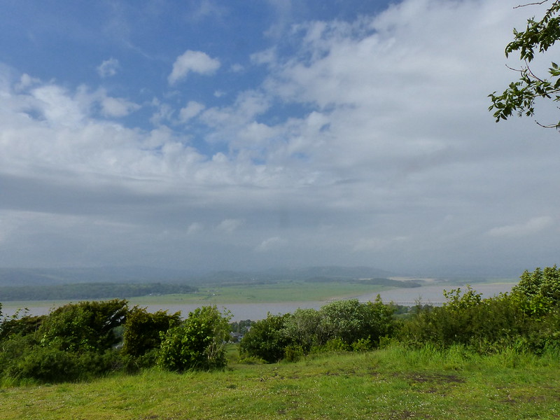
North-western fells from Robinson.

Newlands valley from Dalehead. High Spy on the right, Skiddaw beyond.
The climb from Dalehead to High Spy was very steady and from there it was almost all down hill.
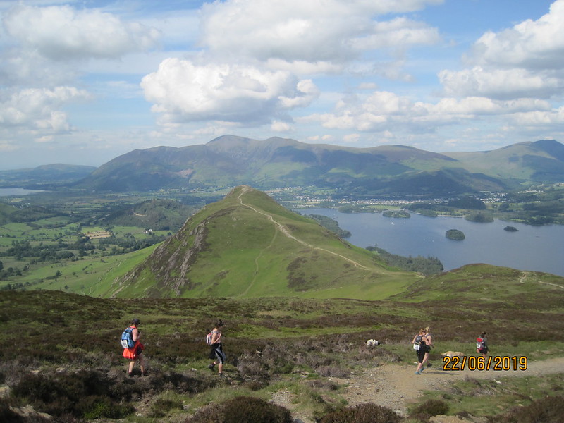
Cat Bells, Derwentwater, Keswick and Skiddaw.
For a while, I think we both entertained the possibility that we might actually finish in the allotted 10 hours, but although it was relatively easy going, it was still a long way to the finish.

The hills of the morning, seen from the final descent.
We both ran out of water before the end and one final checkpoint where drinks were available was extremely welcome.
I wish I’d taken some photographs of the party which was in full swing at the Swinside Hotel. We were greeted by cheering, applause and cowbells. There was live music and lots of enthusiastic singing along. I even bumped into a couple of old friends who I hadn’t anticipated seeing there. The pub was extremely busy and JS and I waited quite a while for our long anticipated pints of shandy – when we finally got served we adopted an old tactic of mine, not always a wise on, and bought two rounds simultaneously. The first one didn’t touch the sides. The second – drunk whilst sat on a bench in the sun, listening to the music – was even more satisfying.

That’s us at the Swinside. And the bench where we supped our shandies.
In the end, we finished in a little under 11 hours. I’m happy with the fact that I finished at all, because when JS first contacted me about the challenge I had severe doubts about my ability to do so. Without me to hold him up, I’m sure that JS would have finished within the required 10 hours, but then he would have missed out on my sparkling wit and repartee. Or something like that.

I’ve never thought to include the gradient profile before, but I rather liked this one…

Mapmywalk gives almost 17½ miles and around 6000 feet of ascent. My calculations of the ascent, largely based on the figures given by Wainwright, gave a total of 6600 feet. Either way, a good deal more than I’ve done in a day for quite some time.
Although, I found this walk much tougher than the Three Peaks, if anything the recovery was slightly easier. I even made it, briefly, to a friends birthday party in the village that night.
The event was extremely well organised, and although it meant that at times we were walking in a bit of a crowd, I rather enjoyed the camaraderie and cheerful atmosphere. Thanks again for those of you who have very generously sponsored me and made donations to the Multiple Sclerosis Society. It’s not too late if you still want to chip in, my Just Giving page is here and that really is the last time I will mention it, I promise.