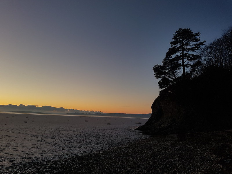
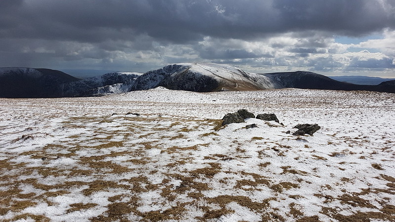
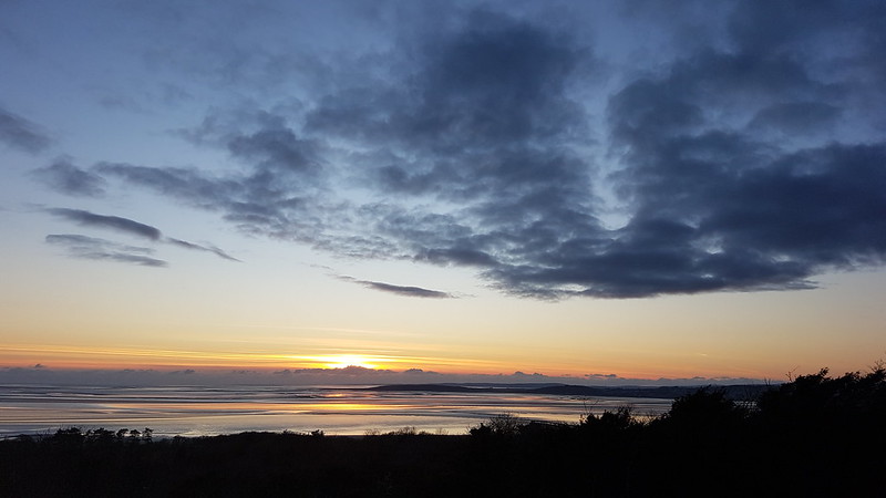
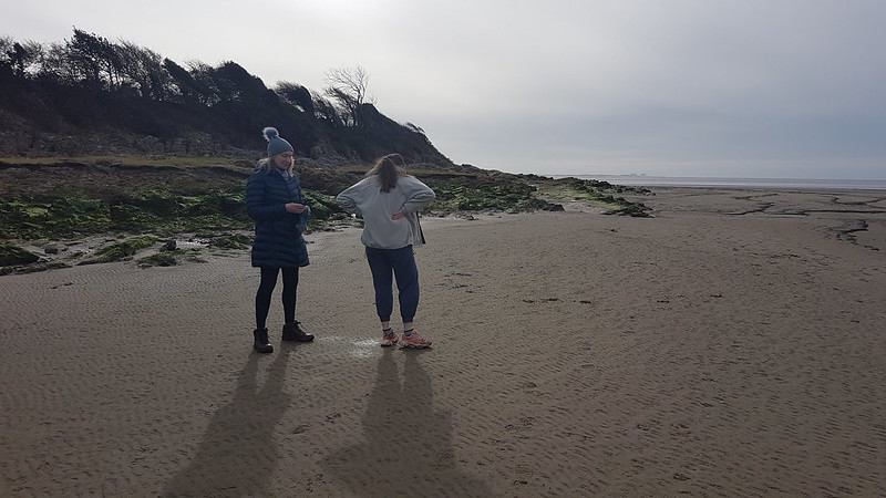
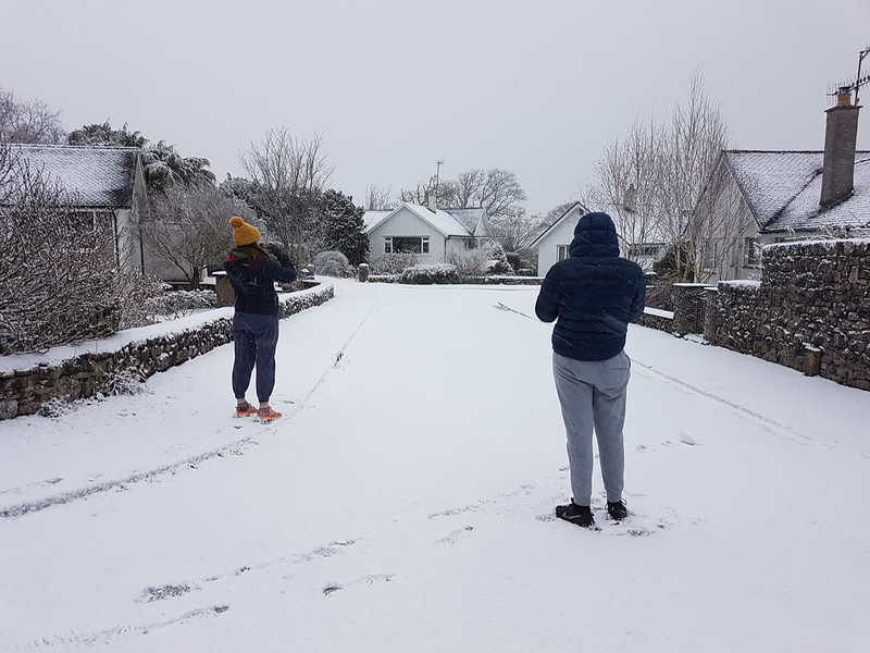
It was a strike day. I was on the picket line as you can see!
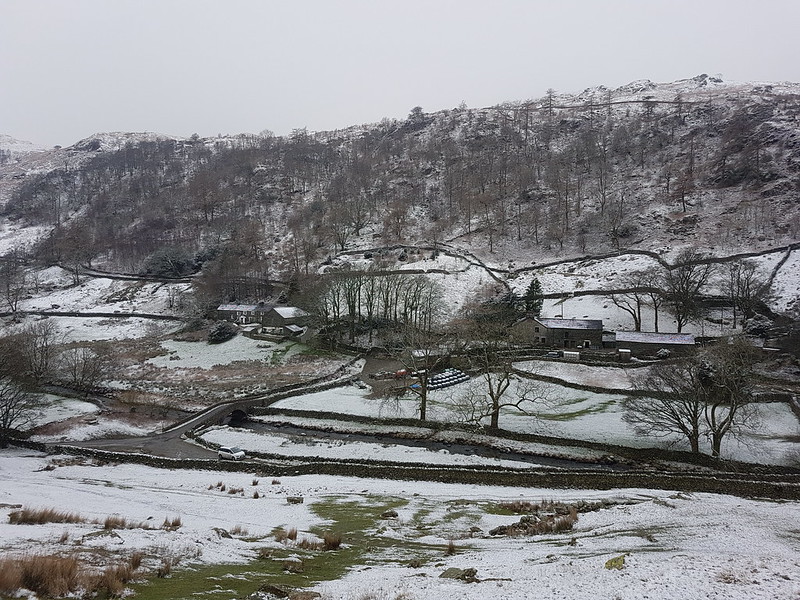
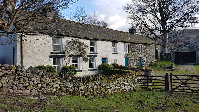
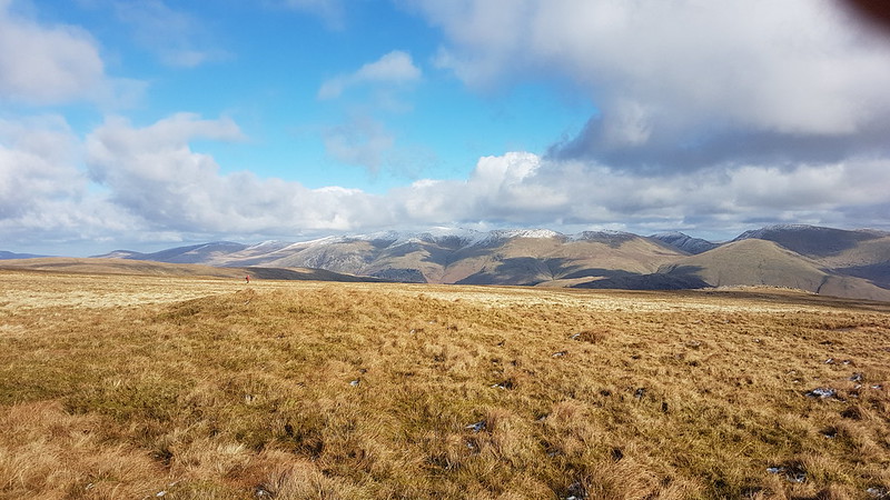
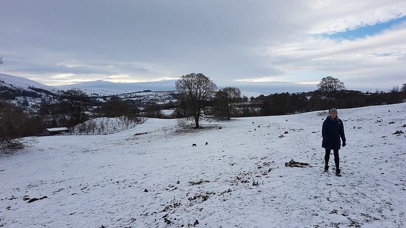
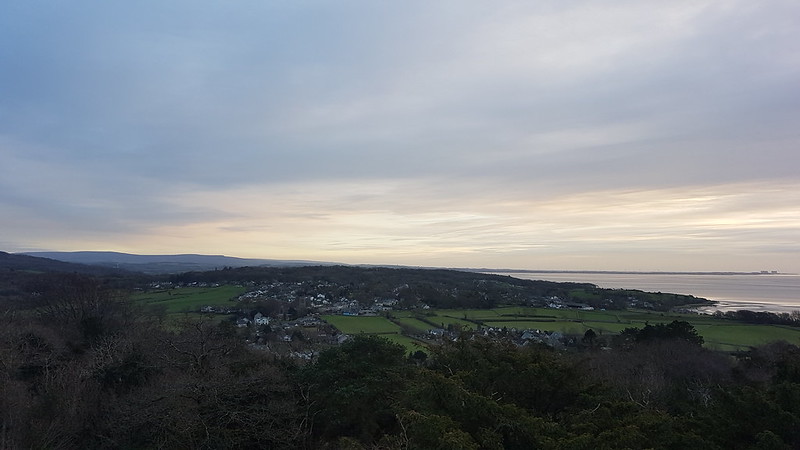
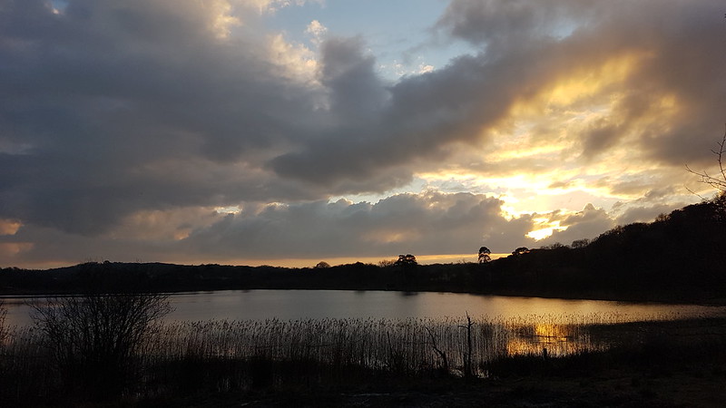
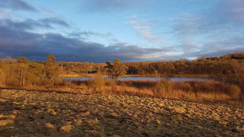
You can see my car in the photo, the only one in the parking space at Sadgill, at the end of the metalled road along Longsleddale. Admittedly, I’d got there fairly early – but, at the weekend, the limited spaces here fill up very quickly. On this midweek day in March, there were eventually three cars. The weather wasn’t ideal, I’ll grant, but the MWIS forecast had actually suggested that the cloud would be lifting off the hills in the Eastern Lakes. It didn’t.
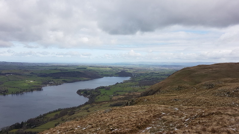
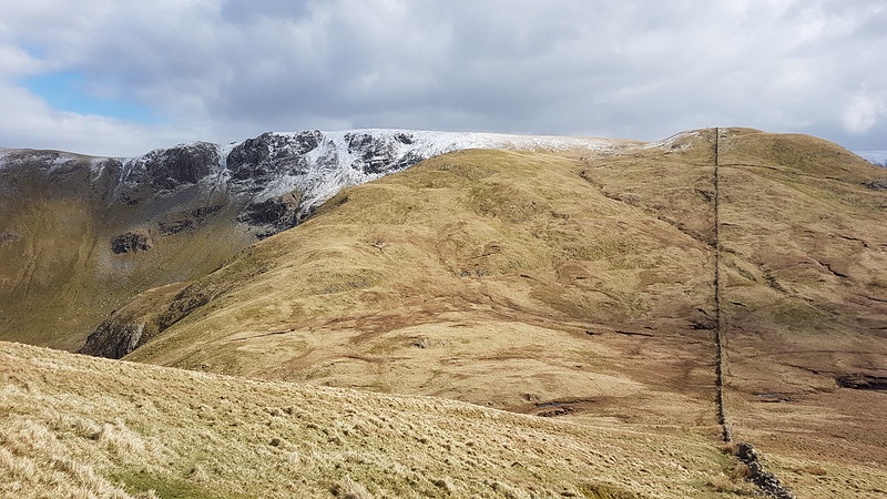
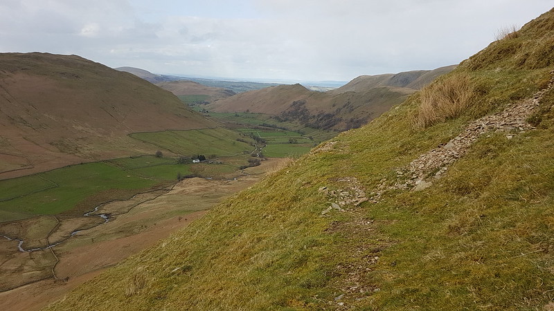
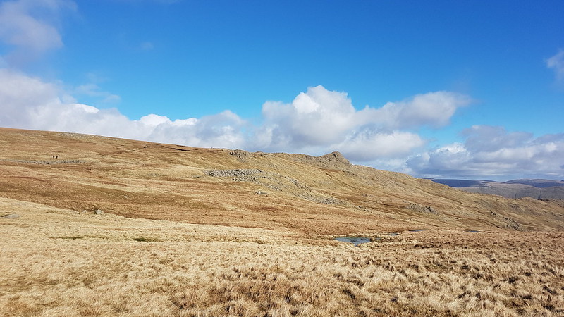
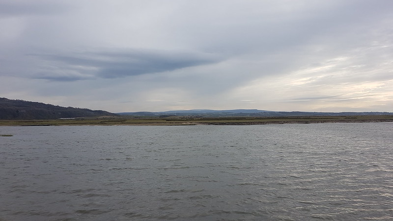
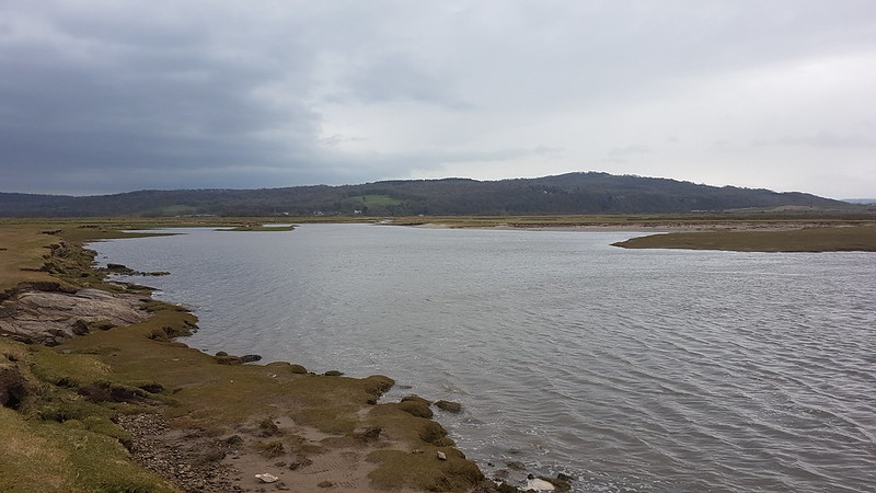
Looking up Longsleddale.
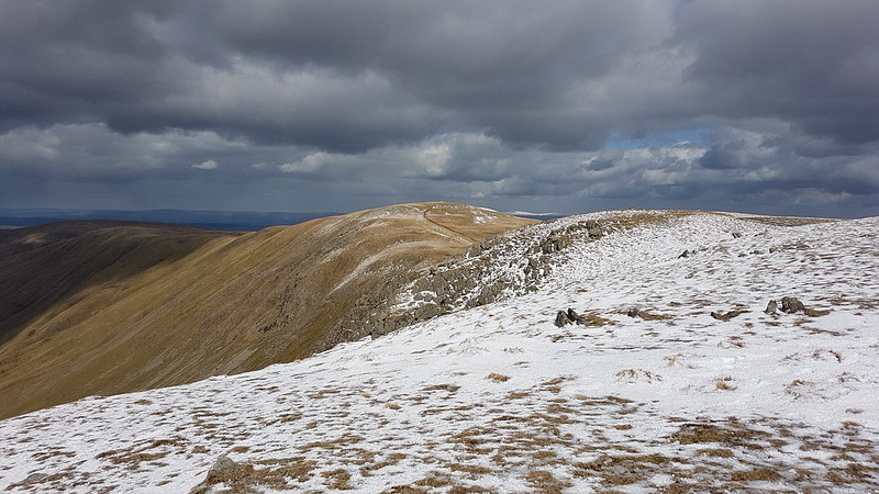
It’s not marked on the map, but there’s a path signposted from the parking area which heads directly uphill towards Great Howe – I’d noted it on a previous visit and had in mind to try it out.
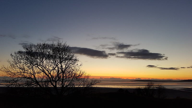
The same view from just before I entered the clouds.
I haven’t been carrying my stove this winter, settling instead for a flask of hot cordial and an insulated mug of tea. I stopped to drink the tea, and to video-call my mum and dad, when it was evident that I would shortly be entering the cloud and losing the view.
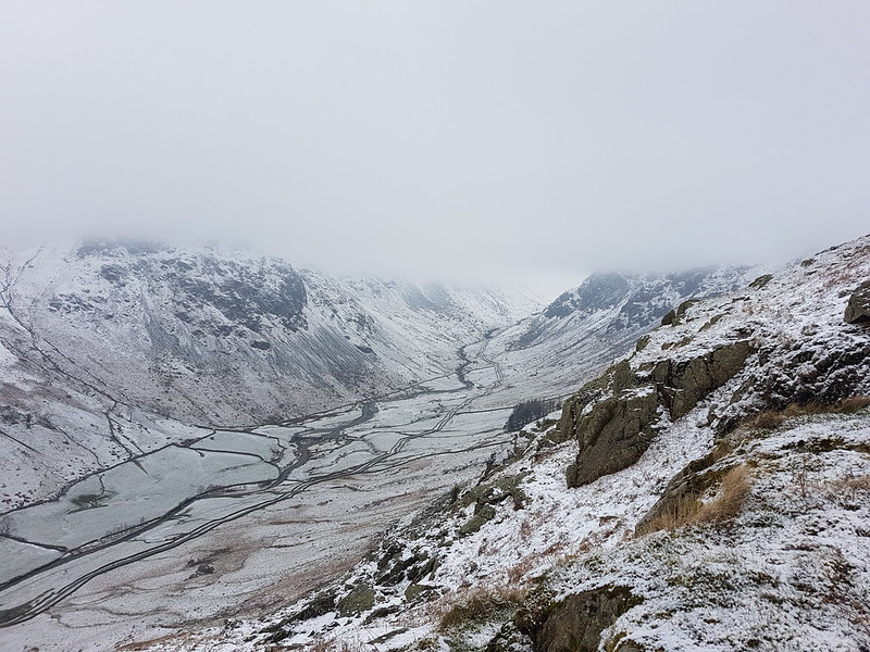
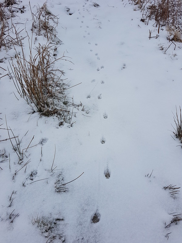
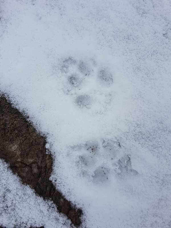
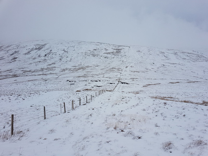
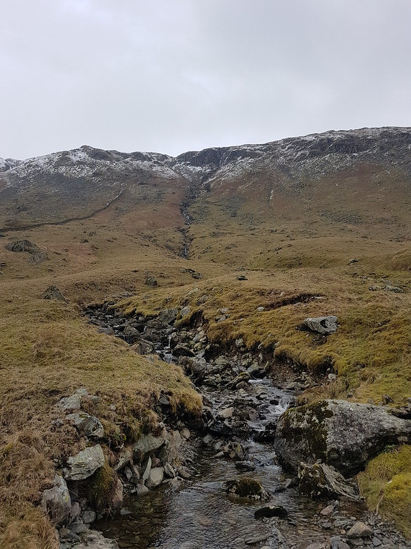
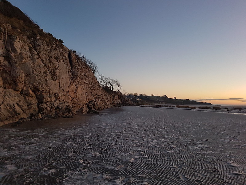
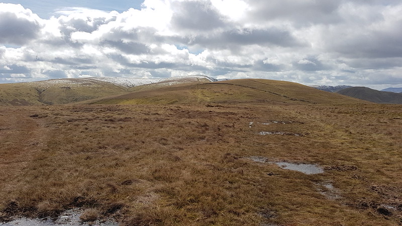
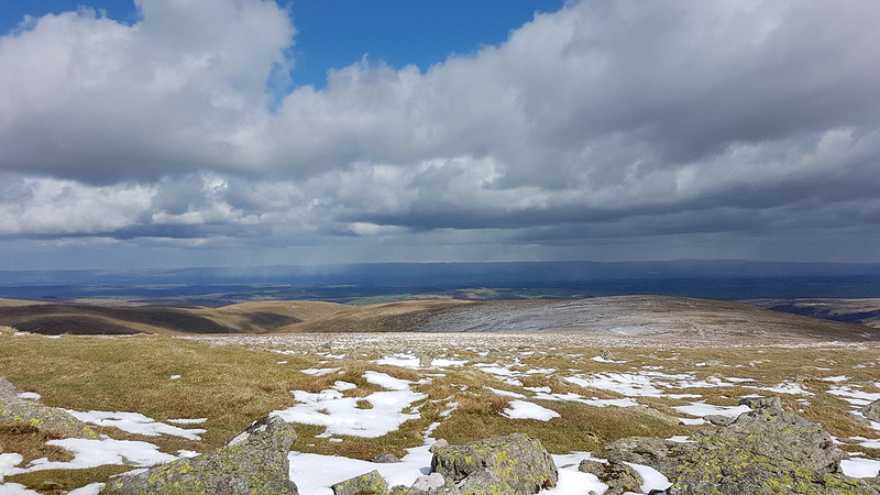
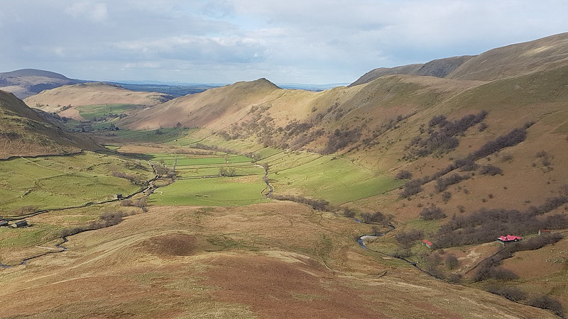
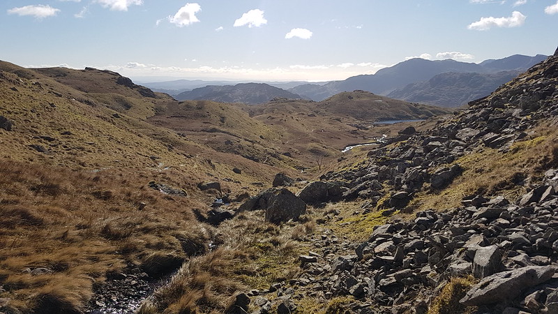
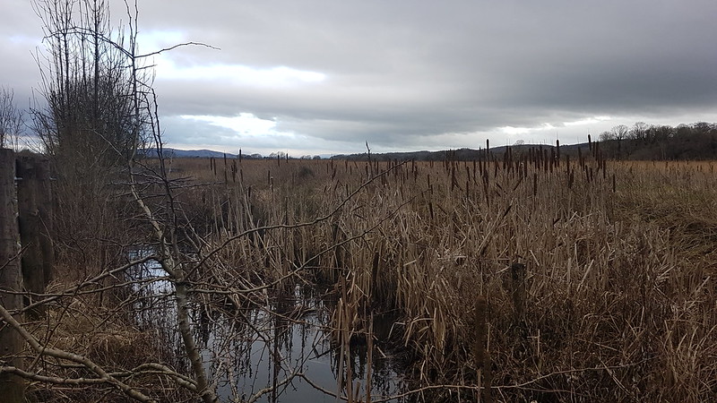
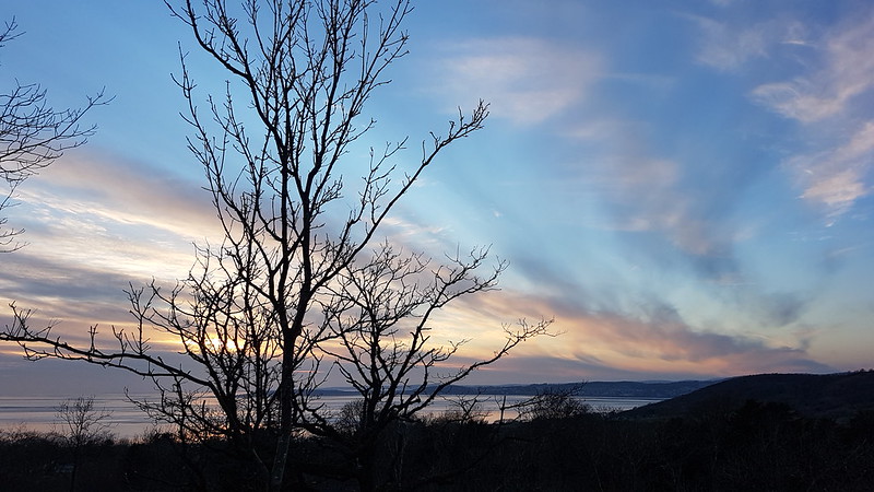
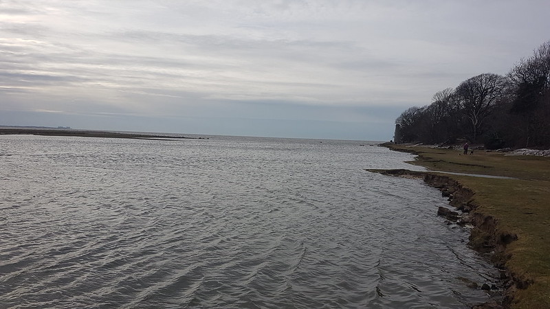
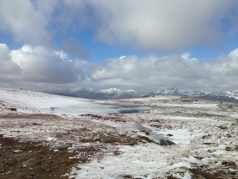
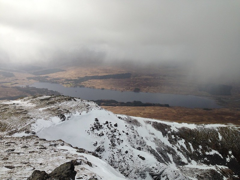
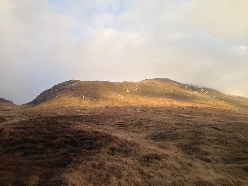
Looking down Longsleddale.Typical view for the next few hours.Fox tracks?
Throughout the day the paths had tracks like these, often two or three sets, along them. When the guy who had arrived in the second car in the car park overtook me, he expressed surprise that I didn’t have a dog with me, but I think the tracks were actually made by a fox or foxes.
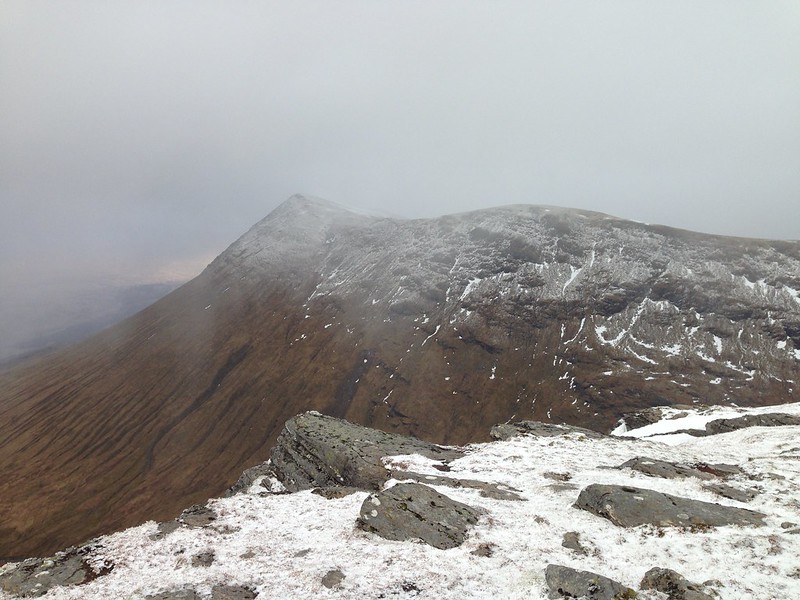
Fox prints?Crags looming out of the mist.
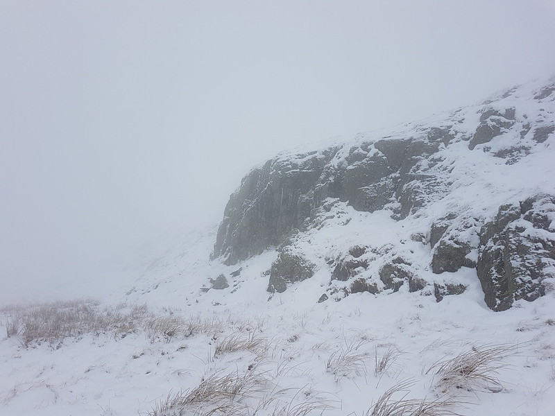
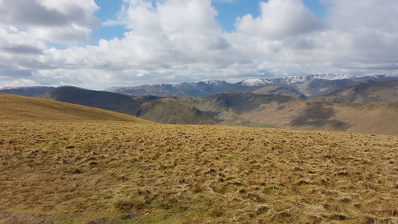
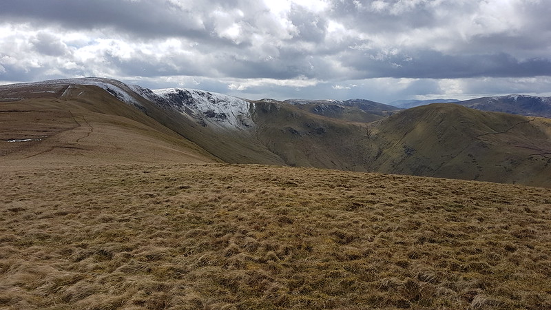
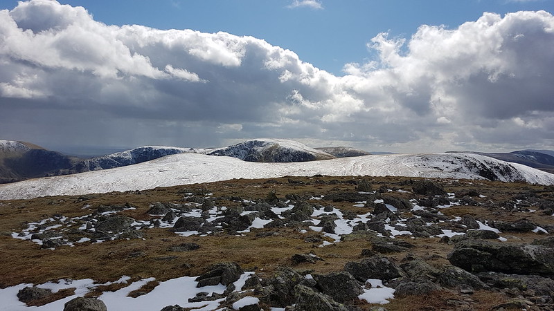
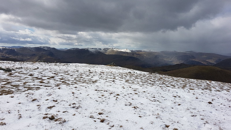
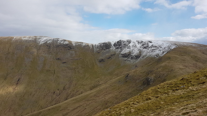
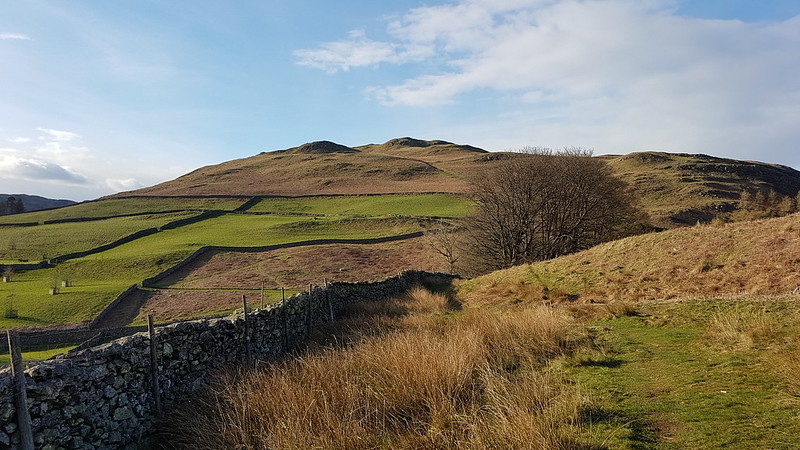
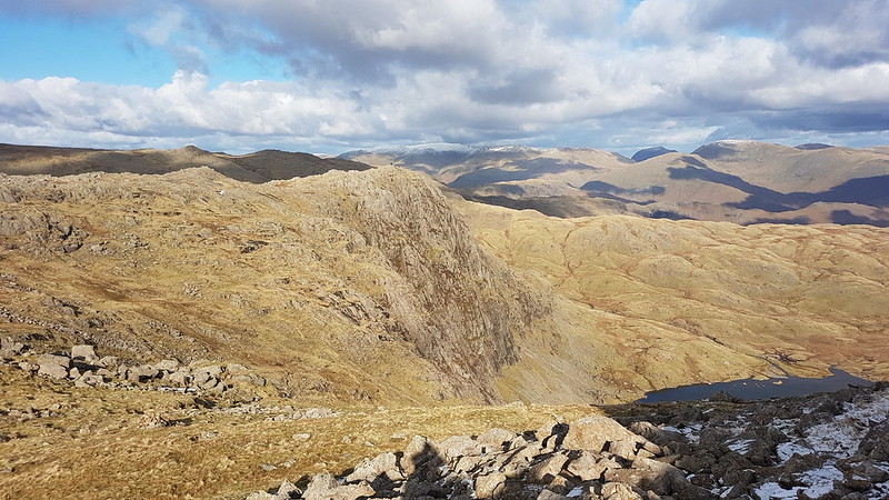
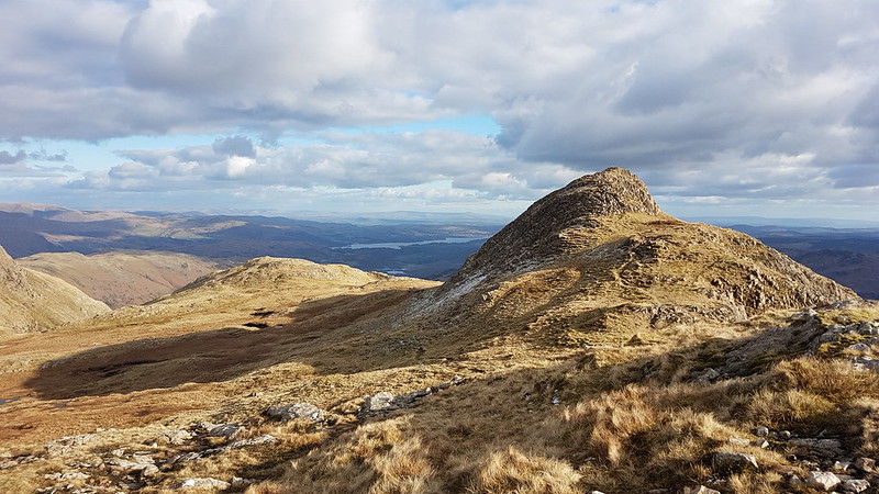
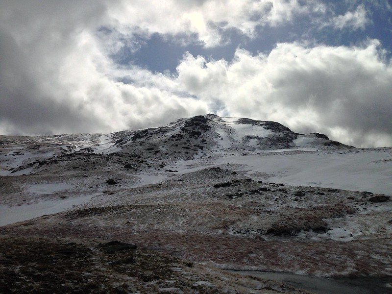
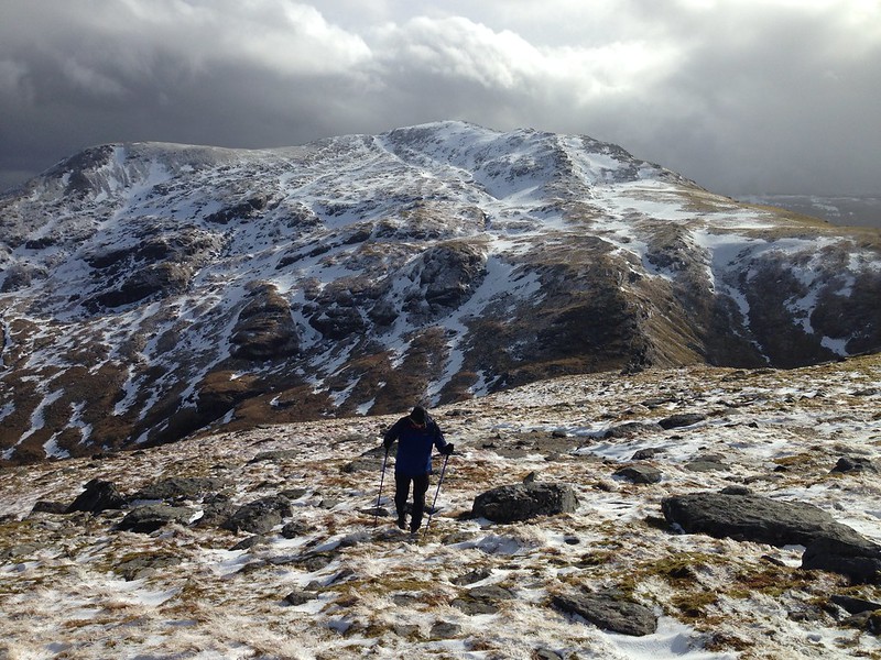
Visibility was poor, but with the OS map to help, navigation was relatively easy. Judging distances and the size of things can be difficult however. Suddenly a rise will loom up, looking huge, but then turn out to be negligible.
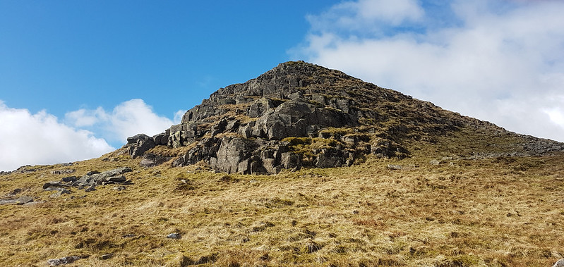
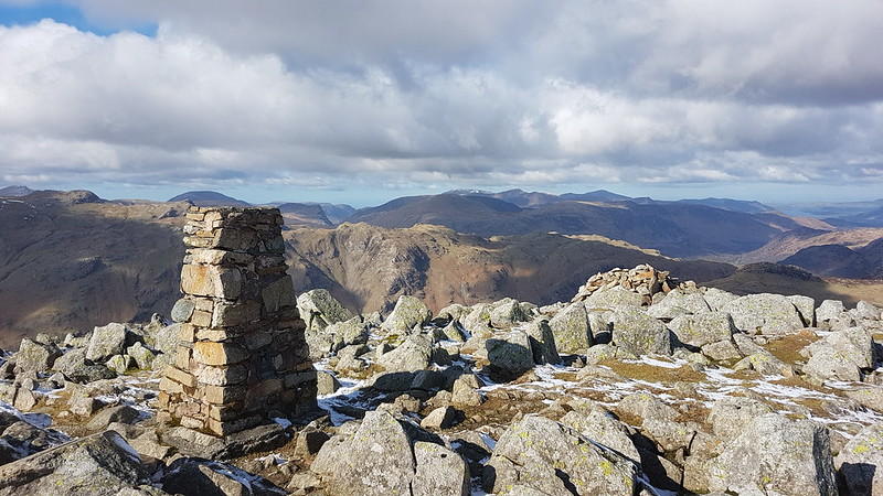
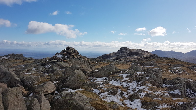
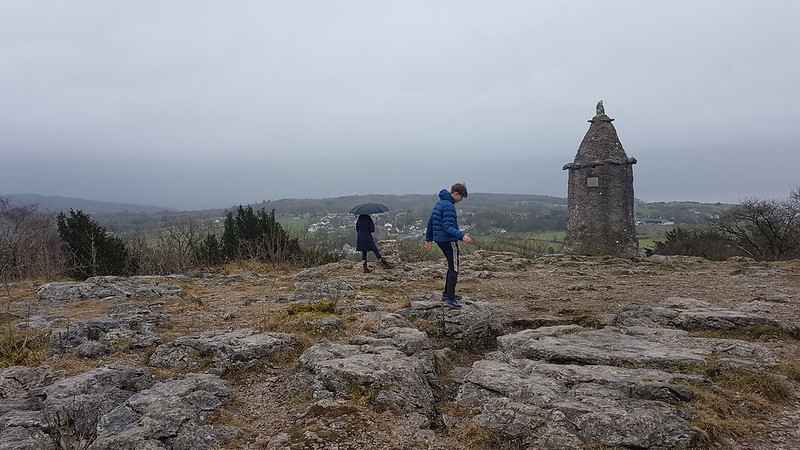
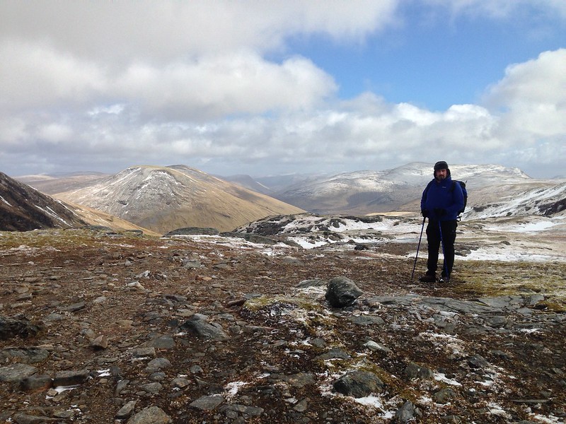
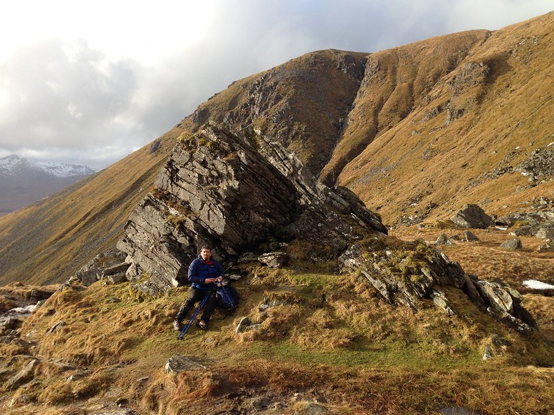
Yours truly on Grey Crag.
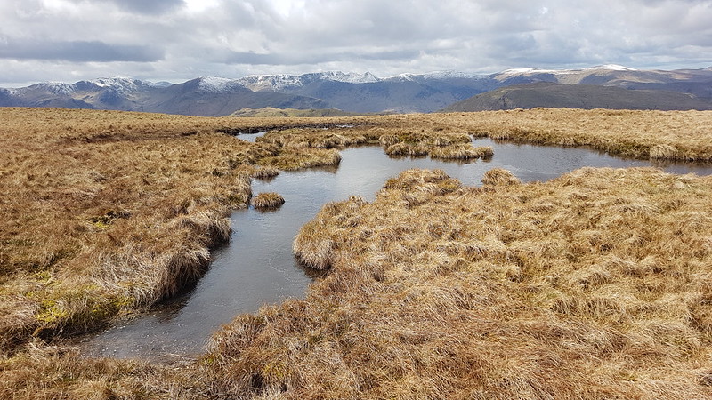
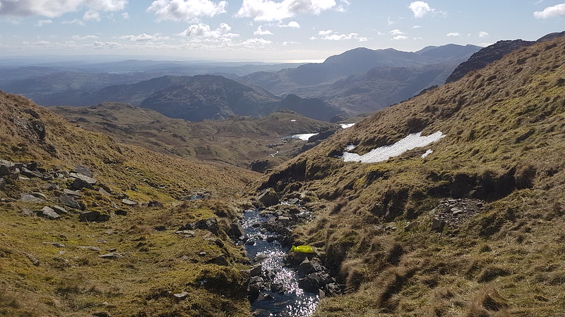
I thought the area marked on the map as Greycrag Tarn (where there is no Tarn) might be awkward to navigate, both in terms of not losing the way and because it looks boggy on the map. In the event, I just stuck to a bearing, which worked really well, and I didn’t encounter anything too sloppy for Malcolm’s boots to cope with.
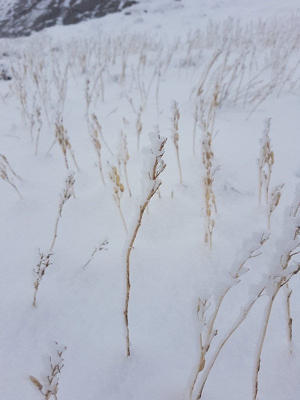
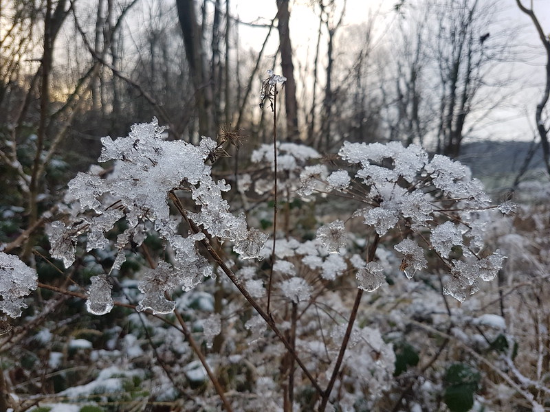
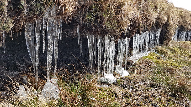
Ice covered grass stems.
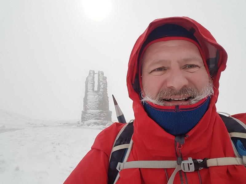
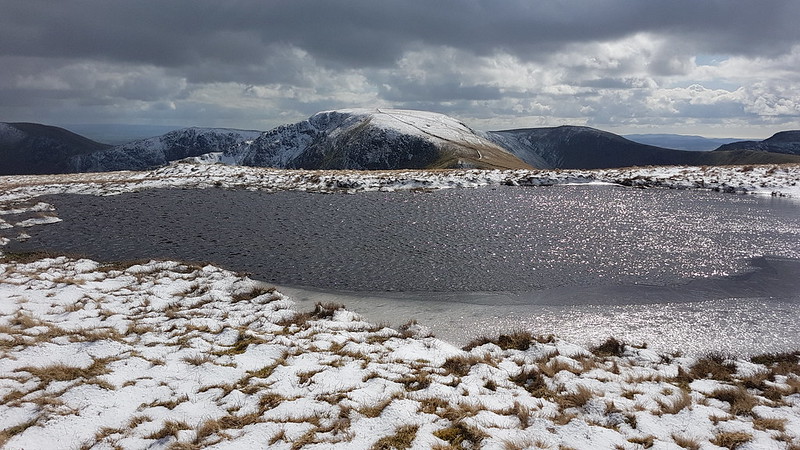
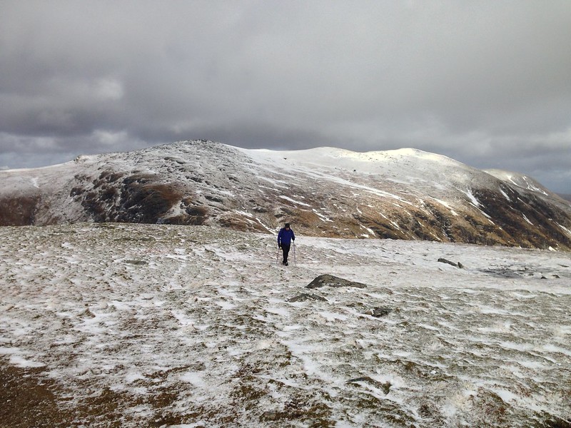
It had become quite windy, and before beginning to climb again toward Tarn Crag I found a marvellously sheltered spot to drink some hot cordial, eat my lunch, and admire some icicles.
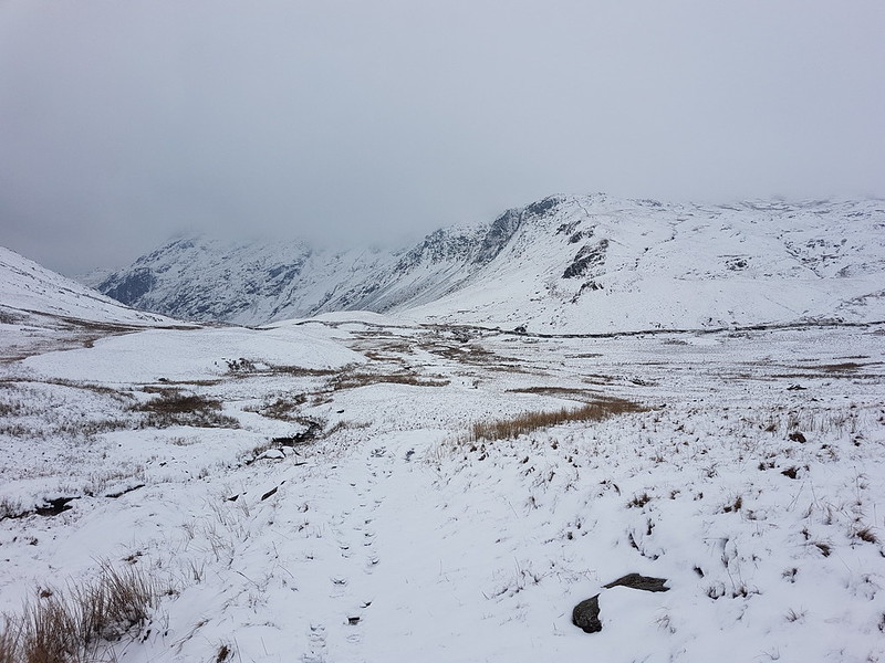
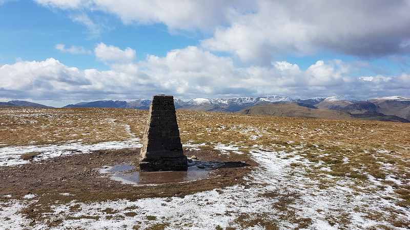
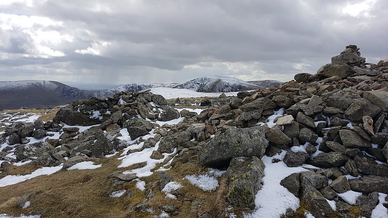
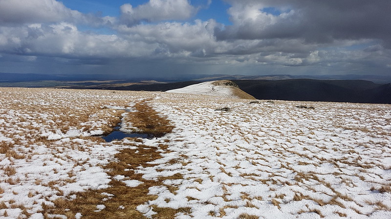
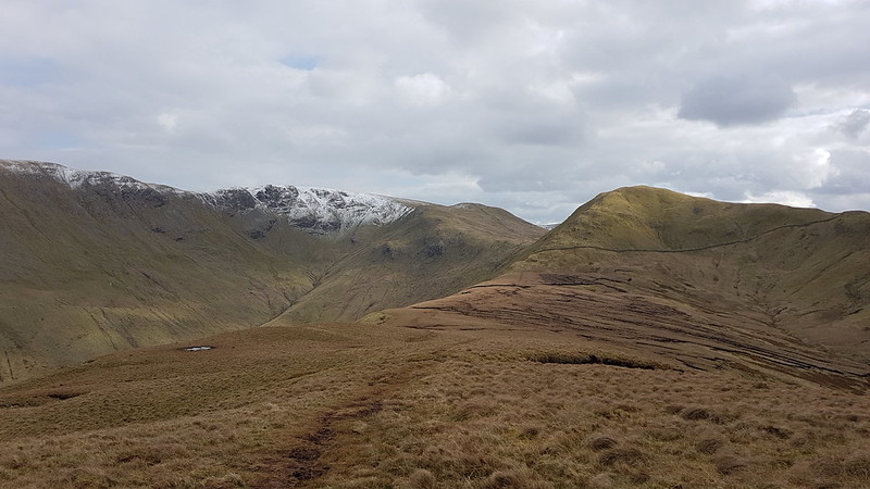
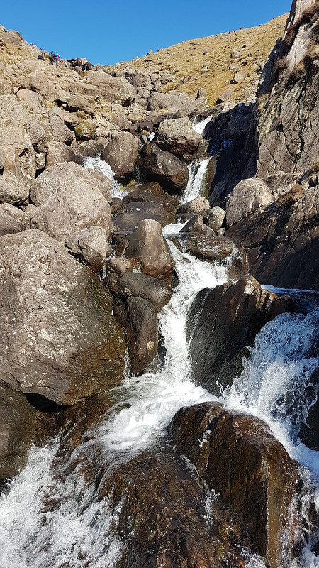
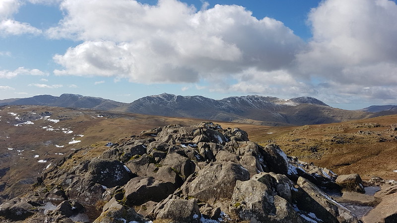
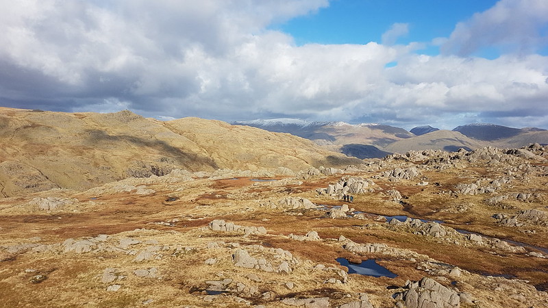
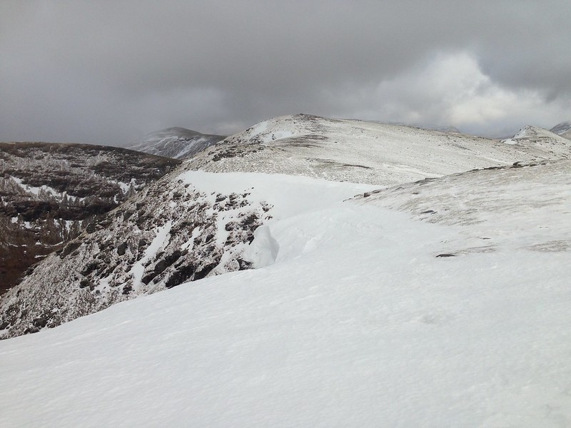
Icicles.Yours truly and the survey pillar near the top of Tarn Crag.Fence – a handy navigational tool.Descending out of the cloud to Brownhowe Bottom.Steel Rigg and Raven Crag.Heading down in to Longsleddale.Waterfalls in Wren Gill. Or is it Cleft Ghyll?Longsleddale after a significant thaw.
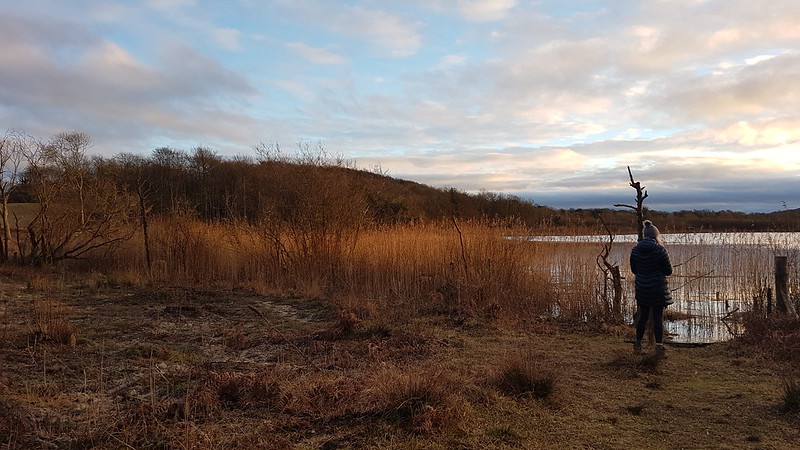
A couple passed me as I finished my cordial beside the track down into the valley. They must have arrived in the third car. That was all the people I saw during this walk.
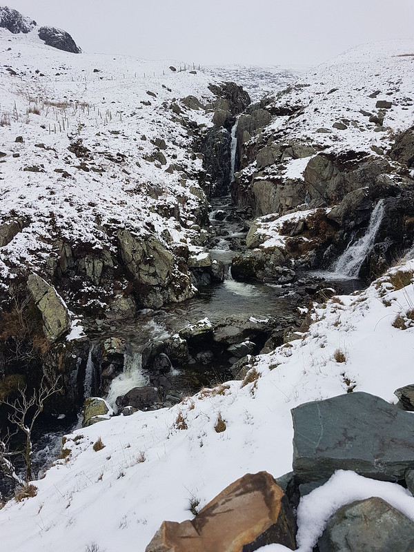
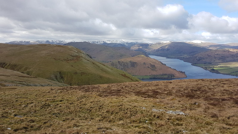
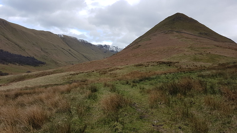
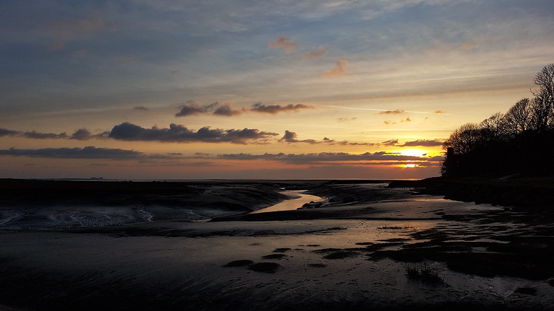
Galeforth Gill – a good alternative way up.
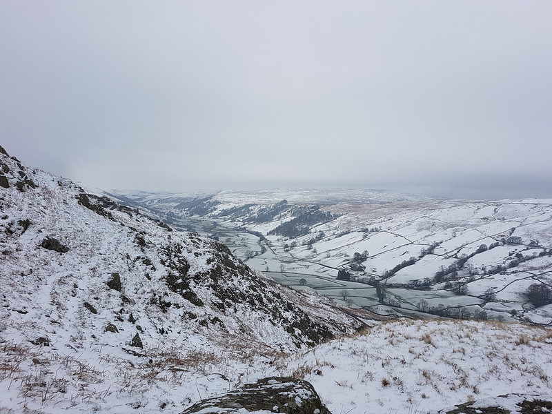
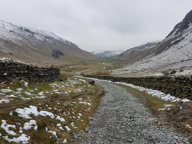
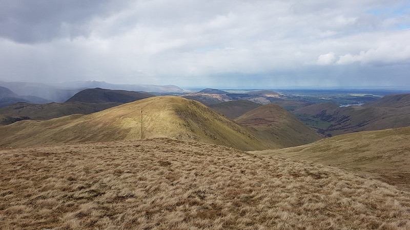
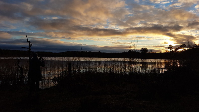
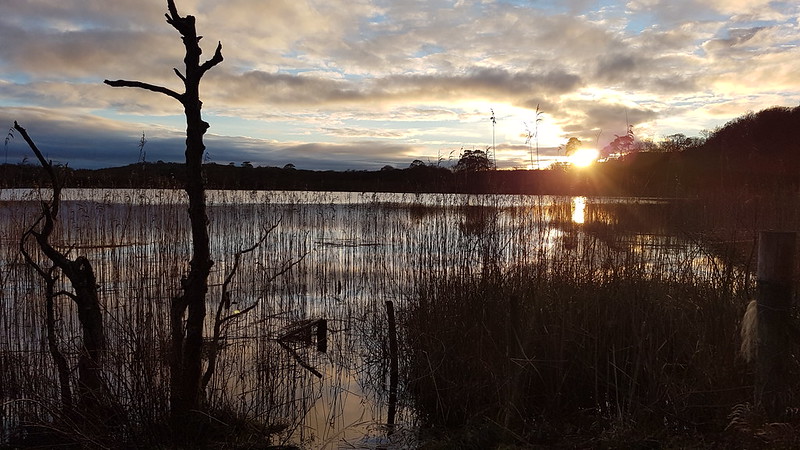
There’d been a significant thaw; the treacherous layer of verglass, which had coated the surface of the track when I’d arrived, had now gone. I’d been a bit concerned about descending the track in such icy conditions so wasn’t upset to see the change. The axe and crampons I’d lugged around all day, didn’t get put to use. Despite the far from perfect weather, I’d really enjoyed having a day out in winter conditions. Now, how I could I engineer more walking on quiet days when everybody else is at work…?
I can dream!
It turns out it was almost exactly ten years after my last ascent of these two hills. And quite a few years since I brought the kids to Longsleddale for a swim.
Another cheating post! (Apparently) Which will bring 2022 to a close on the blog at long last.
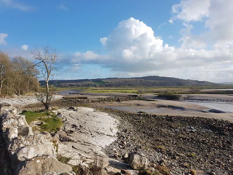
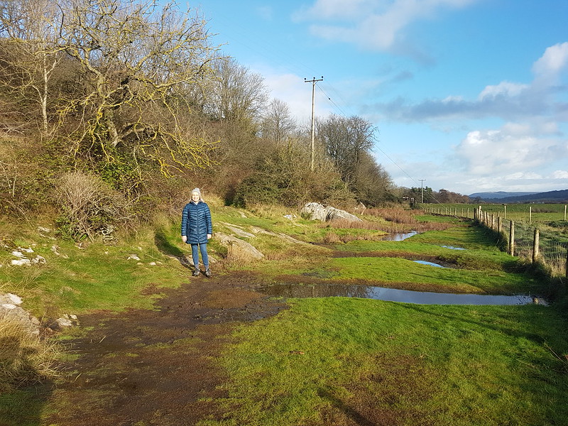
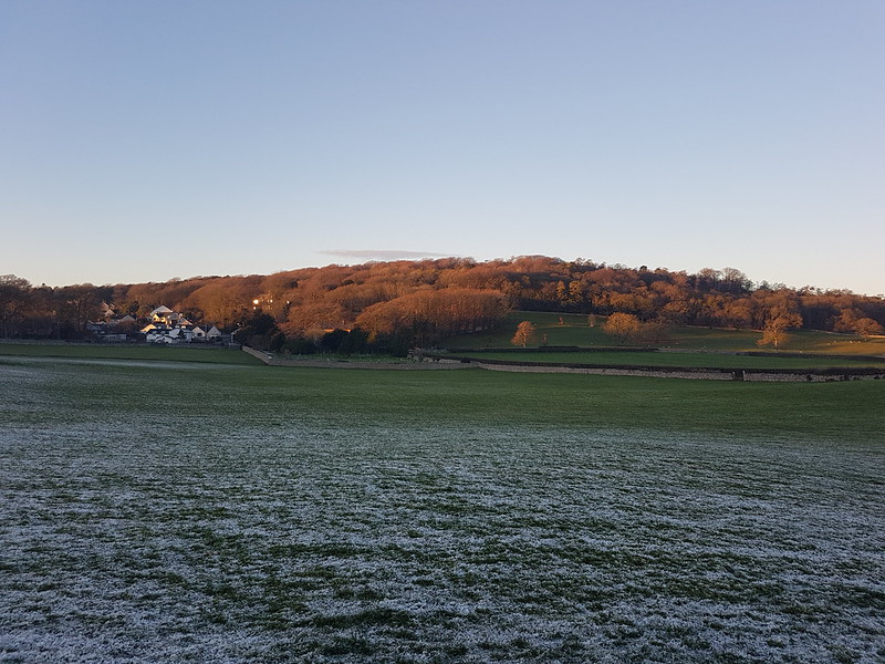
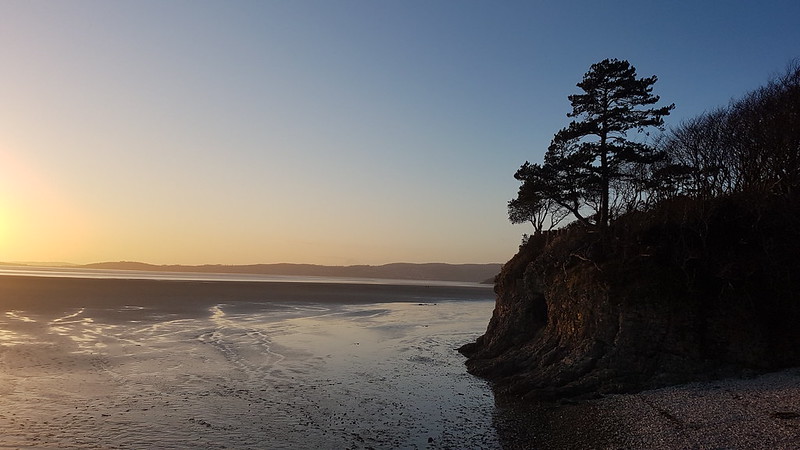
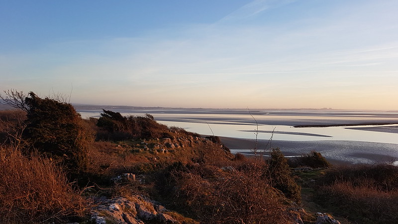
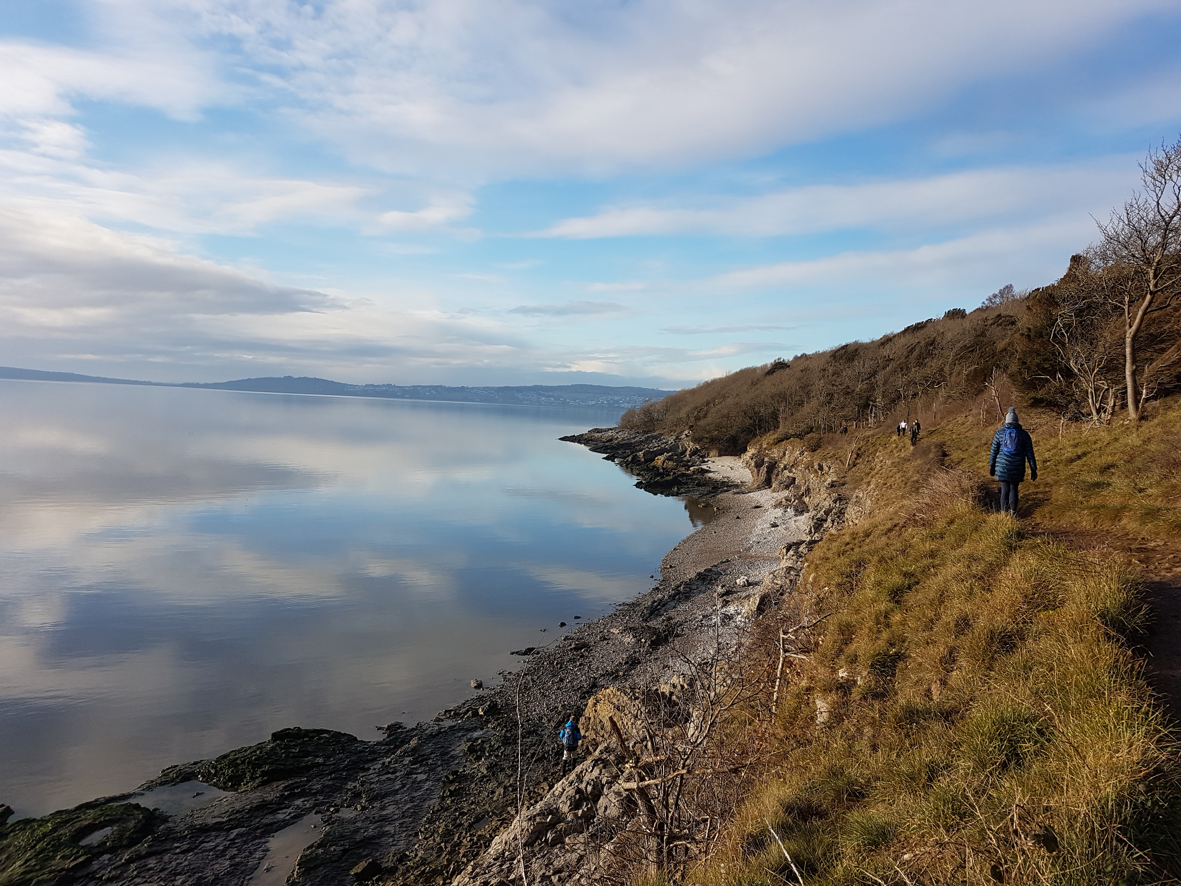
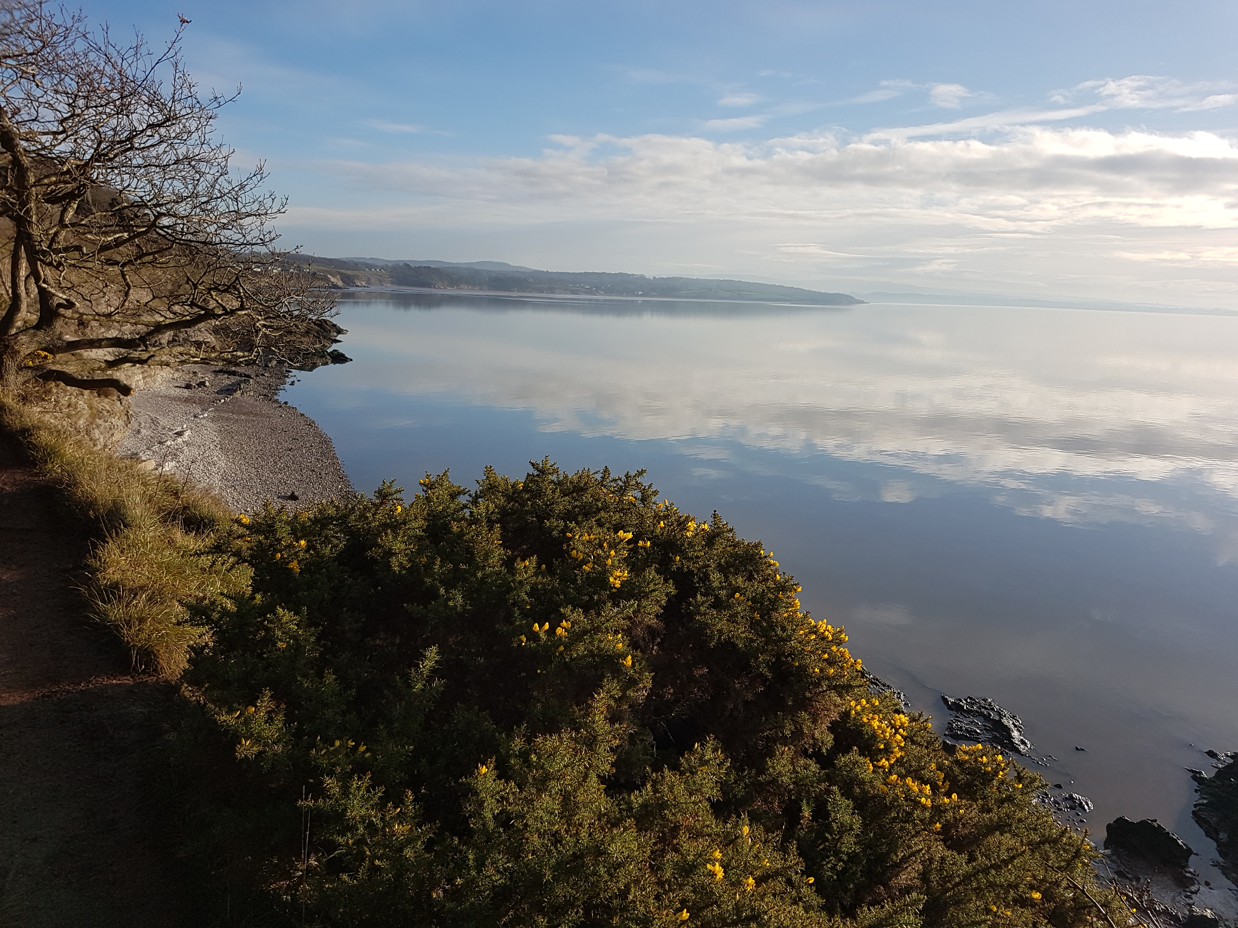
Actually, these first two photos are from the tail end of November and one of our regular Jenny Brown’s Point circulars.
TBH on her way to Jenny Brown’s Point.
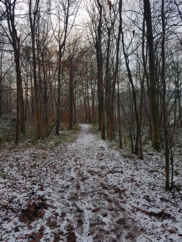
Then we jump forward a bit to a snowy weekend in December and a couple of late local wanders.
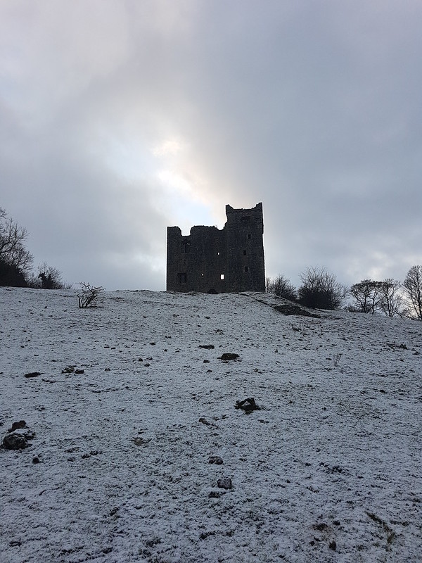
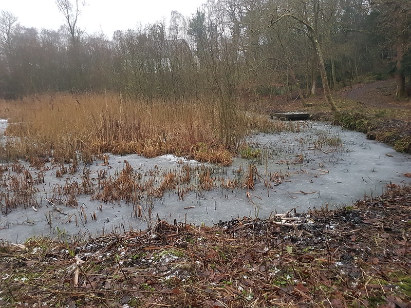
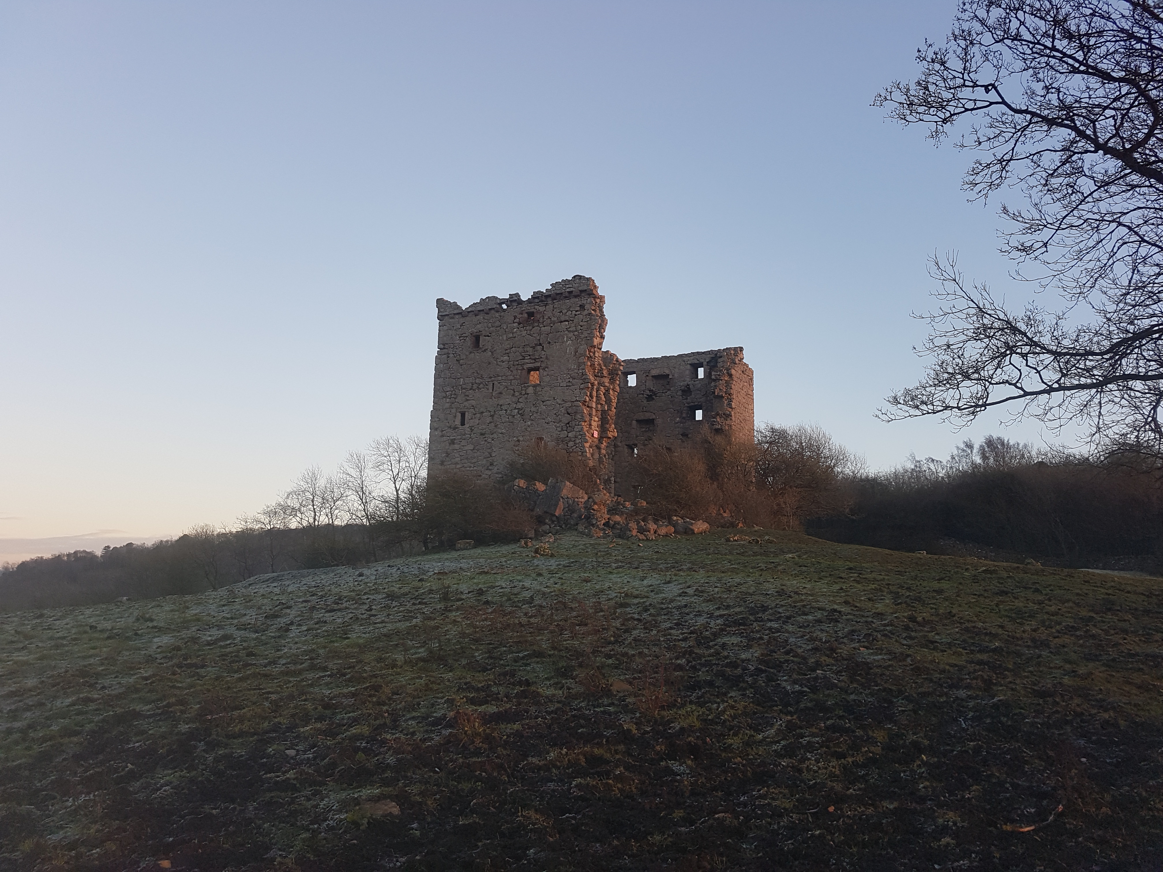
A snowy day in Middlebarrow Wood.Ice on seedheads.Beech leaves.Arnside Tower.
The following day, some of the snow had melted in the sunshine, but a little was still clinging on elsewhere…
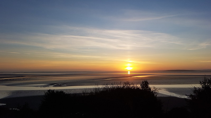
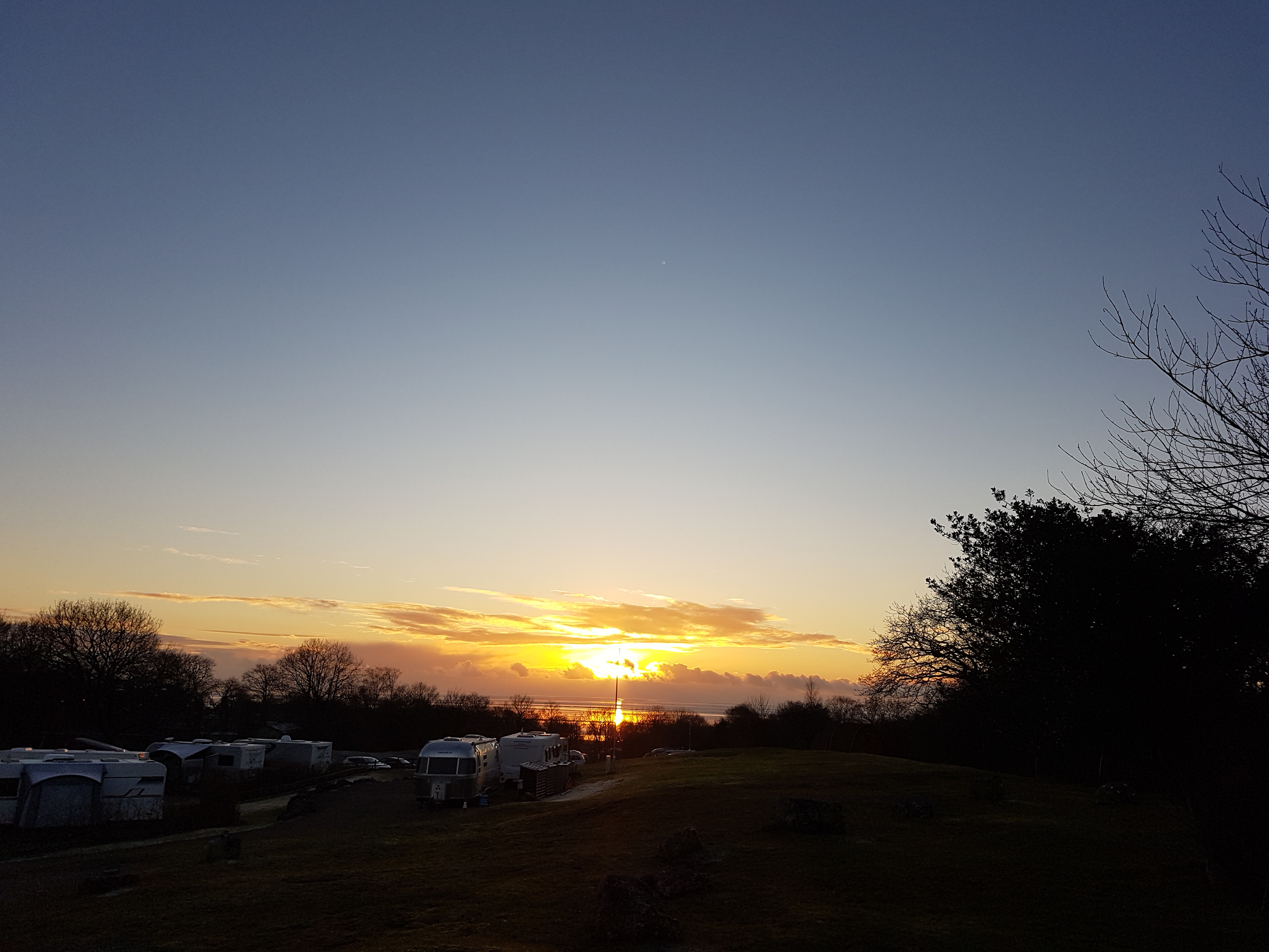
Eaves Wood.Beech leaves catching the last of the sun.Looking towards Clougha from near the Pepper Pot.Sunset and Morecambe Bay.The Pepper Pot.The Cove.A layer of ice over mud.
I had high hopes that the ice would hold and keep me out of the mud. It didn’t.
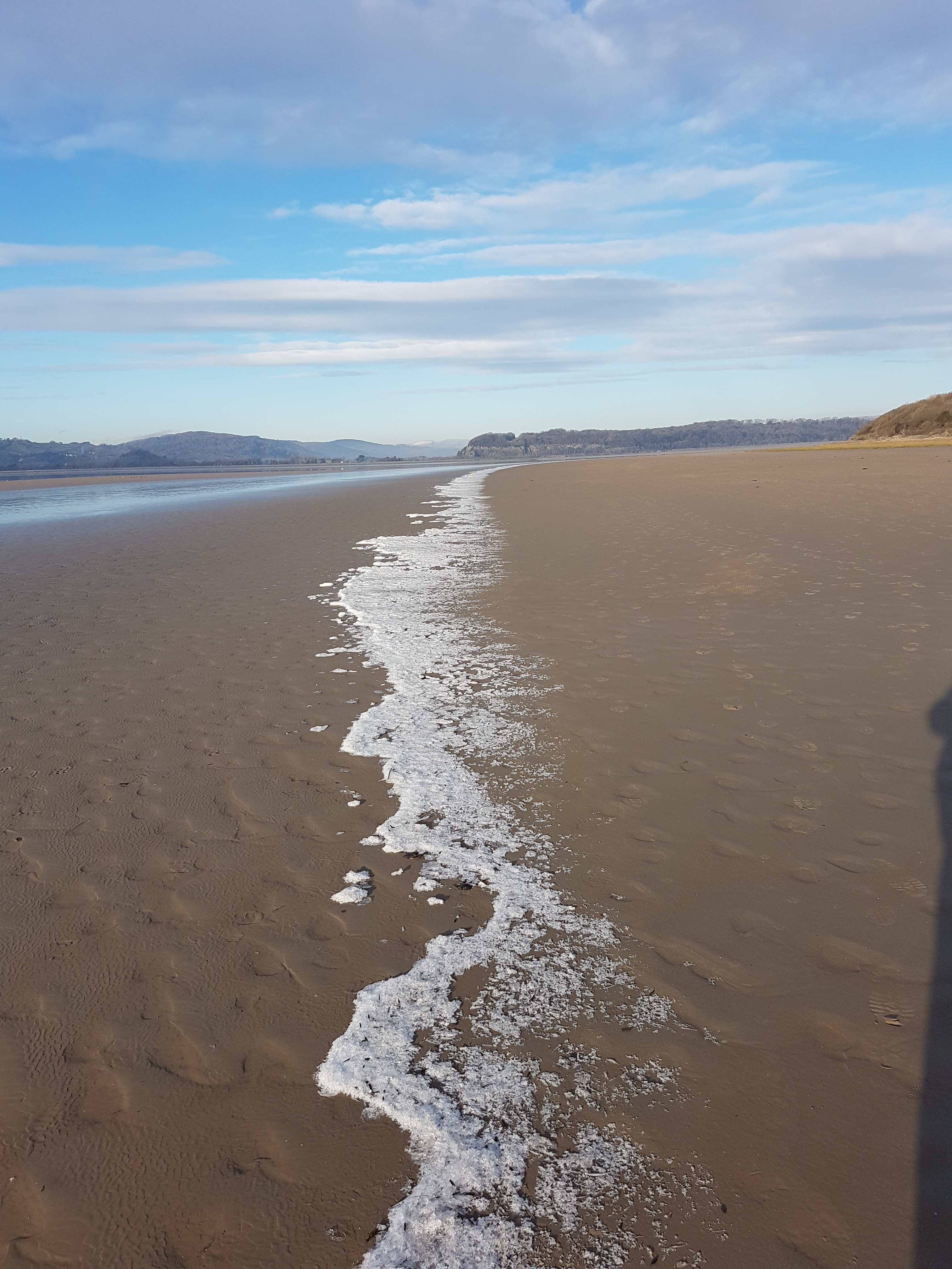
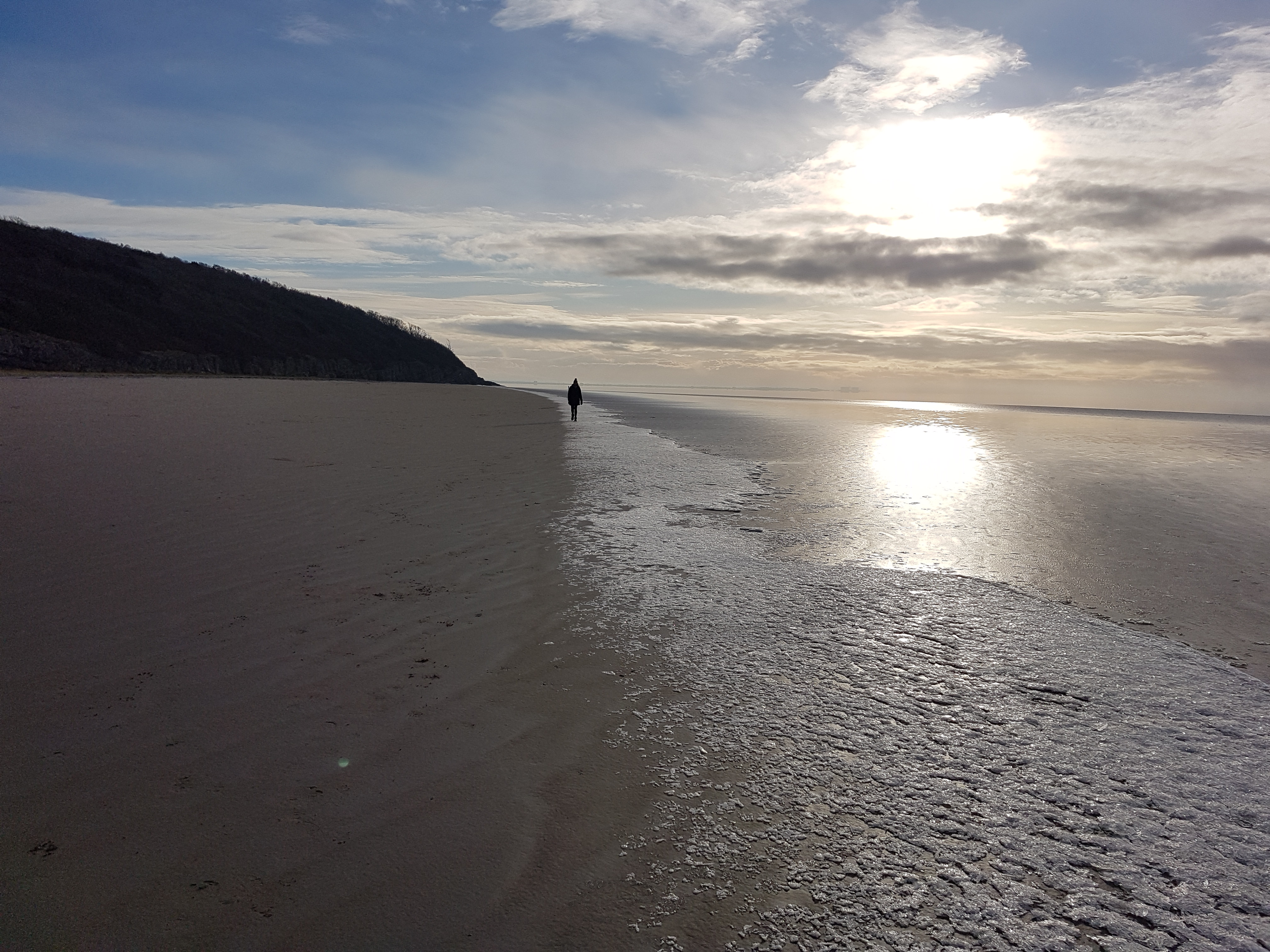
Morecambe Bay.Hampsfell from ‘the beach’.
Just before Christmas, Little S tested positive for Covid. Subsequently, I felt very ill myself, but kept testing negative. Subsequently, my GP has told me that I probably did have Covid.
We still met up at Gearstones just before Christmas with all the usual suspects, but I have no photos to show for it because, still feeling rotten, I generally stayed inside and didn’t brave the snowy weather. It was great to see everyone, none-the-less.
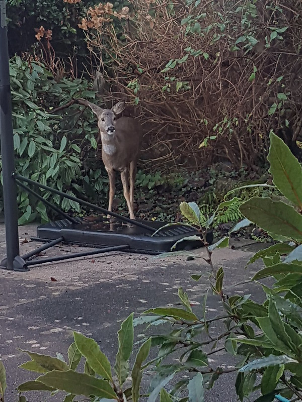
Christmas Day Roe Deer.
With hindsight, I perhaps shouldn’t have fetched my Mum and Dad to spend Christmas with us, but it was fabulous to see them and I don’t seem to have passed on the lurgy.
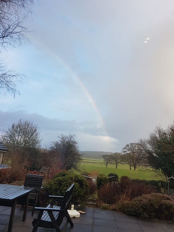
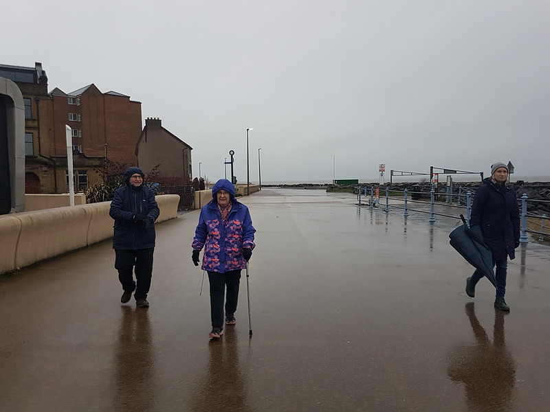
Christmas Day Rainbow.Cold and damp on Morecambe Prom.
This was the day after my Holme Fell and Black Fell outing with TBH. After that modest affair this was much more ambitious. I think I was frustrated that the first week of the Easter holidays had only yielded three Wainwrights. In my defence, the weather hadn’t been much cop and we had also been decorating our living room. I say ‘we’, but in honesty TBH had been decorating the living room and I had been ferrying the boys about to give her the time to do that. I did put a coat of paint on the ceiling I suppose. I had to really, I’d told the kids that anyone who didn’t contribute would lose their TV privileges. Anyway, over the next three days I made an effort to make up the deficit (of Wainwrights bagged, not decorating).
Hallin Fell
I parked by the ‘new’ church, below Hallin Fell, dropped down to Howtown and then climbed steeply towards White Knotts.
Steel Knotts / Pikeawassa and Martindale.
I don’t know who made the path, or why, but it was very cleverly done.
Ullswater.
Having hit the ‘ridge’ – it’s neither a ridge, nor a plateau, so I’m not sure what to call it – I had to descend slightly to reach Bonscale Pike. From Easter onwards (and quite often in the winter) I habitually wear shorts. It was very windy and very cold this day and I wondered at times whether I would have to turn back, but I found that by layering up on my top half, with a couple of fleeces, hat, gloves and at times my cag too, my legs didn’t seem to be an issue.
Bonscale Pike has lots of humps and hollows – thinking, quite rightly as it turned out – that shelter would be at a premium, I stopped for a cuppa.
Skiddaw and Blencathra. Gowbarrow and the Mell Fells in the middle distance.Arthur’s Pike (on the right) from Bonscale Pike.
From Bonscale Pike the route drops into a hollow and then climbs out to Arthur’s Pike.
Bonscale Pike from Arthur’s Pike.
From there, it’s a long series of very gradual ascents, over Loadpot Hill, Wether Hill, Red Crag, and Raven Howe to my high point for the day High Raise.
The route ahead.Cross Fell catching the sun on the other side of the Eden Valley.The Trig Pillar On Loadpot Hill.
Clearly the showers we’d watched the day before shrouding the long ridge from the Dodds down to Fairfield had fallen as snow on the higher parts of the range.
The snow-capped hills on the western side of Patterdale.Red Crag (on the right) and Low Raise and High Raise ahead.
I had my eye on the wall in the photo above from quite some distance away. It looked like it might offer some shelter. It did, and it was most welcome. I sat behind the wall here for quite some time, ate my lunch and had another hot drink (Pink Grapefruit squash – a tip from old friend the Hairy Oatcake).
The hills across Patterdale again.High Raise, Rampsgill Head, The Knott and Rest Dodd.
It seemed to take a long time, but I was gradually reeling High Raise in.
The shelter and the cairn on High Raise.
I didn’t have high hopes for the little stone shelter, but in the event it wasn’t too bad. I finished off the Grapefruit cordial and enjoyed the views over the Eden Valley.
Looking across Low Raise from High Raise to showers over the Eden Valley.Kidsty Pike and Rampsgill Head. High Street beyond.High Street.Kidsty Pike from Rampsgill Head.
There’s a high ‘ticks to effort’ ratio here, with not much energy expended to grab Kidsty Pike, Rampsgill Head and The Knott.
Harter Fell, Mardale Ill Bell, High Street, Thornthwaite Crag.Looking back to High Raise and Raven Howe.Catstye Cam stands out in this view of the fells west of Patterdale.Huge Cairn on The Knott.Rest Dodd – showers behind.
Rest Dodd is not such a push-over, with a steepish re-ascent to be overcome.
High Raise and The Knott.
It looked like frequent showers were tracking south along Patterdale and I thought it was only a matter of time before I got a drubbing, but aside from a few flurries of snow, they never materialised.
Two cairns on Rest Dodd.Icicles on Rest Dodd.Raven Howe and High Raise.The Nab.
The ground between Rest Dodd and The Nab looked like it would be very heavy going, but although there was a fair bit of bog and some big peat hags, it was surprisingly easy to circumvent.
High Raise and Rest Dodd.
I knew, from a previous visit, that there’s a superb path which spirals down the western flank of The Nab. Again, I don’t know who made it or why, but it’s a great bit of work. In places the slope is extremely steep, but the path, narrow at times, keeps on contouring and descending very gently. Perfect.
The well-made path on The Nab.Hallin Fell and Steel Knotts / Pikeawassa looking down Martindale.The Nab.The Bungalow.
“Constructed in 1910 as a shooting lodge for Hugh Lowther, Earl of Lonsdale, in a colonial style to host a visit from the German Kaiser”
Nowadays, it’s self-catering accommodation, sleeping 10, so the likes of you and I can rent it out and see what kind of luxury was laid on for ol’ Wilhelm.
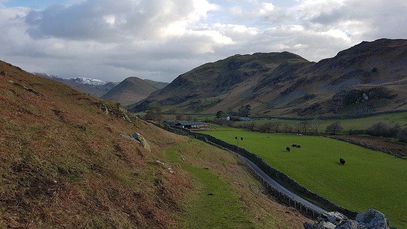
Looking up Martindale.
The long walk down the valley on the road was…well, long. I was getting a bit worn out by now.
Martindale Old Church, St. Martin’s.The Nab and Beda Fell.Cotehow – Grade II Listed of course.Hallin Fell.
But then the sun came out and I was quite tempted to tag on Hallin Fell. It was already pretty late however, so I decided to leave that for another day.
Martindale New Church.St. Peter’s.
Some hike stats: MapMyWalk gives 14½ miles and 980m of ascent (which is bit of an underestimate I think).
Wainwrights: Bonscale Pike, Arthur’s Pike, Loadpot Hill, Wether Hill, High Raise, Kidsty Pike, Rampsgill Head, The Knott, Rest Dodd, The Nab.
Birketts: those ten, plus Red Crag. I could, and should, have revisited the top of Swarth Fell while I was at it. But I didn’t. Never mind.
New Dungeon Ghyll Hotel – Stickle Ghyll – Stickle Tarn – Sergeant Man – High Raise – Thunacar Knott – Pavey Ark – Harrison Stickle – Loft Crag – Pike of Stickle – Mark Gate – New Dungeon Ghyll Hotel.
Stickle Ghyll
March arrived and brought with it some clear, blue skies. Time to get back to the Lakes! I didn’t get off particularly early, I can’t remember why, and was lucky to squeeze into a space in the National Trust’s New Dungeon Ghyll carpark at around ten. (Does everyone refer to the two Langdale pubs as the ODG and the NDG?)
Of course, Langdale is always going to be popular, especially with a good forecast, and there were a few people ahead of me on the path heading up Stickle Ghyll. Somewhat to my surprise, I gradually overhauled several groups and we leap-frogged each other up the path. Just in case I was getting ideas above my station however, a group of younger walkers caught up with me just short of Stickle Tarn and flew past as if I were barely moving.
Stickle Ghyll.Pavey Ark and Stickle Tarn.
Although the air was quite cold, in the sunshine I had warmed up well during the climb and was down to a t-shirt. Time to shove a few layers back on at Stickle Ghyll where, as well as a new, splendid view, we were exposed to a biting wind.
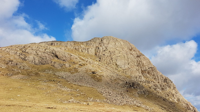
Harrison Stickle across Stickle Tarn.
Despite that very icy wind, a couple of people had changed into bathing costumes and were wading out into the tarn. One of them was protesting loudly and I’m not sure whether either of them actually swam. I’m sure it would have been extremely bracing.
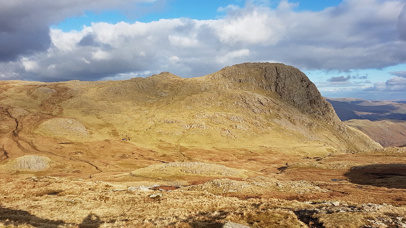
Pavey Ark again. Jack’s Rake fairly prominent.
I think the last time I did Jack’s Rake was on my first hike with TBH, so over 20 years ago. It looked popular today, as did the alternative route on the path up the eastern shoulder of Pavey Ark. I had been considering the latter as one possible onward route, but decided to head for Sergeant Man instead, since it looked like I would have the path to myself.
I did, and it was a marvellous route, a fairly faint path following a small stream above the valley of Bright Beck, not one of the paths on the map, which all head further east onto the Blea Rigg ridge. I think you can see the stream I followed on the map below, enclosed by a rocky rib on its western side. Eventually the path left that stream and headed across and up to meet the stream which drains the cluster of small tarns between Sergeant Man and Codale Head.
Anyway, I’m getting a bit ahead of myself: this….
…is the first of those becks. You can just see Sergeant Man left of centre. It was pleasantly sheltered here and I took advantage of that fact and stopped for a hot drink.
Looking back down to Stickle Ghyll from my brew stop.
The path kept splitting and got steadily fainter and harder to follow.
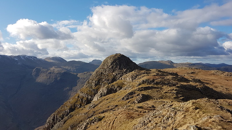
Approaching Sergeant Man.
Eventually, I lost the path and followed the stream which I presume flows out of the tarns.
Looking down the stream. Forest of Bowland and Morecambe Bay on the horizon. Gummer How quite distinctive in the distance. Lingmoor and Side Pike in the foreground. Wetherlam and the Coniston Fells on the right.Sergeant Man.
Eventually, I left the stream and the shelter that its banks offered, and took a direct route to the top. The crags are broken, but I enjoyed stringing a route together which stayed on the rock as much as possible and offered some easy scrambling.
Codale Head. Snow-capped Fairfield right of Codale Head.From Sergeant Man: Scafells, Bowfell, Esk Pike, Great End.Codale Head.Helvellyn ridge on the left, Fairfield to the right.
Codale Head is not a Wainwright, but is a Birkett. A bit like Sergeant Man, it isn’t exactly a prominent summit, but it is well worth a visit.
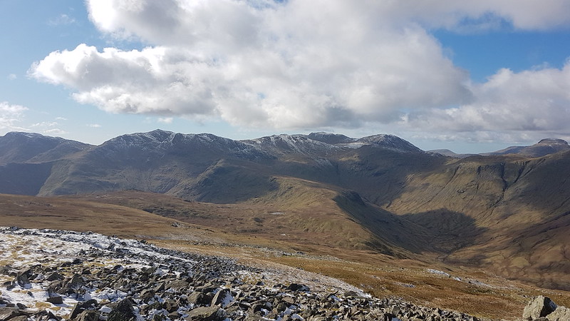
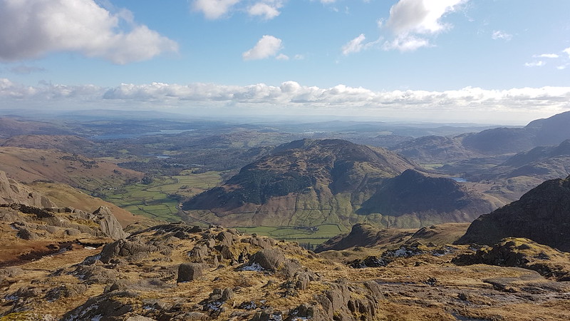
Eastern Fells from the slopes of High Raise. Esk Pike, The Scafells, Great End, Gable and Pillar from High Raise.
I know that High Raise is essentially a big lump, but it has a rocky top and always feels to me like its very central in the lakes. You can certainly see a lot of the area’s more distinctive hills from there.
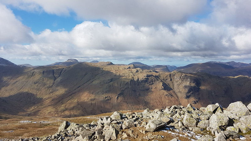
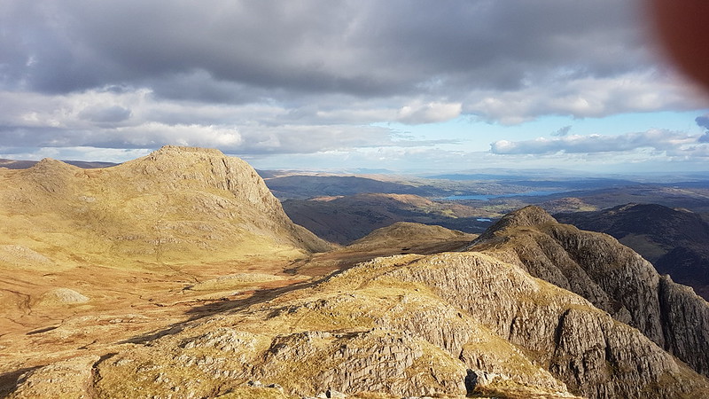
High Raise summit cairn. Glaramara, Dale Head and the North-western Fells behind.Another High Raise view – North-western Fells, Bassenthwaite, Skiddaw, Blencathra.Crinkle Crags, Bowfell, Esk Pike, Scafell Pike, Great End, Great Gable. The ridge extending towards the camera is the Rossett Pike, Buck Pike, Black Crags ridge. You can pick out Lining Crag on the right of the ridge too.Glaramara.Looking back to Sergeant Man.And again, from futher away.Harrison Stickle from Thunacar Knott.Sergeant Man again from close to Pavey Ark. St. Sunday Crag prominent through Grisedale Pass.
After leaving Sergeant Man there was very little opportunity to find any shelter on High Raise or Thunacar Knott, but I had high hopes for Pavey Ark – well justified high hopes as it turned out. I dropped just a little way below the top, on the Langdale side, and was soon out of the cold wind and enjoying the sunshine, the views, a hot drink and possibly even a moment’s snooze. I think I sat there for almost an hour. A very peaceful hour.
Langdale, Lingmoor and Side Pike. Blea Tarn just visible on the right. Windermere in the distance.
It felt quite warm out of the wind, but just after finally setting-off again I slipped on verglas and found myself sitting in a puddle. One sleeve and the seat of my pants were wet, but fortunately only my pride was hurt. There was a fair bit of ice about and I ought to have payed more attention to this slip.
Harrison Stickle.Looking back to Pavey Ark.
There seemed to be several paths between Pavey Ark and Harrison Stickle, weaving their way through the craggy terrain. I chose to stick close to the rocky edge and then found myself on a good path which contoured around on to the south facing side of Harrison Stickle, i.e. the steep face. When that path seemed to be losing height, I looked up to the crags on my right and spotted a small chimney which seemed to offer an easy route upwards. I climbed up to a wide ledge and then started to shin up the chimney. My legs aren’t as flexible as they once were, and in trying to lift my right boot just a little higher to reach a toehold, I shifted my weight and ….off I went. I didn’t fall far and landed on my feet, back on the broad ledge. I wasn’t hurt, but I was a bit shaken. Now I had to choose between two unpalatable options – backtrack down to the path, or have another go at the chimney. The chimney still looked very easy, especially now that I had rehearsed my moves, and in the end I decided to give that a second try, with a bit more circumspection. In fact, it was very easy. What’s-more, once up the chimney I was very nearly on the summit.
On the summit I met a party of three ladies whom I’d been following up the Stickle Ghyll path. They’d been walking faster than me, but stopping more often, which meant that I kept catching-up with them, whereupon they would set-off again. If they’d overheard my colourful response to slipping off the crag just below, they didn’t show any signs of disapproval!
Harrison Stickle from the west.Pike O’Blisco. Coniston Fells behind.Pike O’Stickle from Loft Crag.Harrison Stickle, Loft Crag and Windermere from Pike O’Stickle. With intruding finger.Loft Crag.Harrison Stickle.
Some hike stats: MapMyWalk gives a little under 7 miles (before my phone ran out of juice), and 830 metres of ascent.
More importantly, seven more Wainwrights ticked off: Sergeant Man, High Raise, Thunacar Knott, Pavey Ark, Harrison Stickle, Loft Crag, Pike O’Stickle.
Even more importantly – an absolutely cracking day out.
(I had planned to extend the round to take in Rossett Pike, but by the time I got to Loft Crag, with clouds accumulating overhead, that seemed like a long way away, and I took a more direct route back to my car instead.)
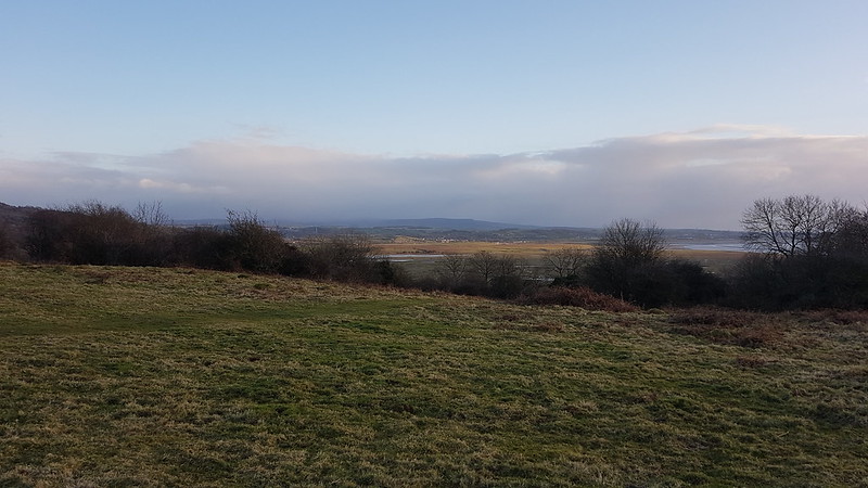
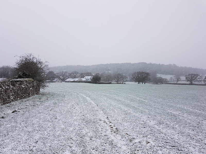
Wensleydale. Penhill and Height of Hazely in the background.
Every year, at the start of December, I get a Monday off work. Actually, this year, it was the last Monday in November. It’s intended as a Christmas shopping break, which is anathema to me, and I habitually moan about it, but despite my indifference to the idea, since the inception of this one day holiday, I’ve had a string of great days out.
This year was no exception. Happily, TBH, being part-time, gets a Monday off every fortnight and this fell on one of those Mondays. So she had transferred the booking she made for a night away, to celebrate our wedding anniversary, to the Sunday night after Storm Arwen.
We stayed at the Wheatsheaf at Carperby, in the Yorkshire Dales, which was very welcoming and comfortable, with nice beer and lovely food (if somewhat limited for vegans). On the Sunday evening we sat in the bar watching the Ladies’ Darts Team play a match and played cribbage ourselves, before retiring to our four-poster bed. (Don’t think I’ve slept in one before – can’t say I noticed any difference!)
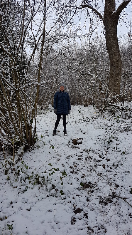
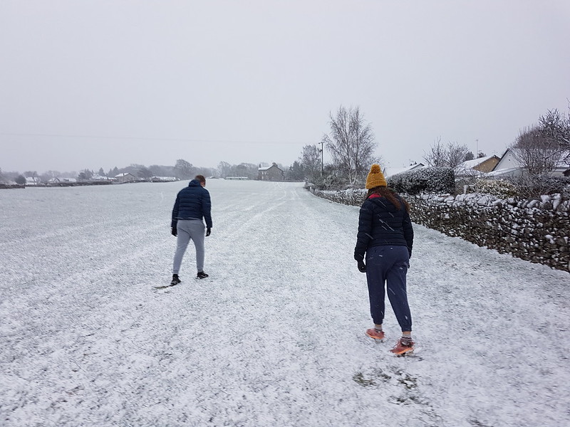
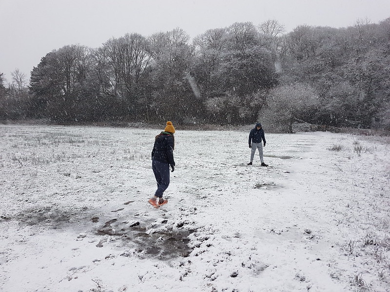
On the Monday, the landlady was happy for us to leave our car in their carpark whilst we went for a walk, so we set-off from there, across the snowy fields and through the snowy woods…
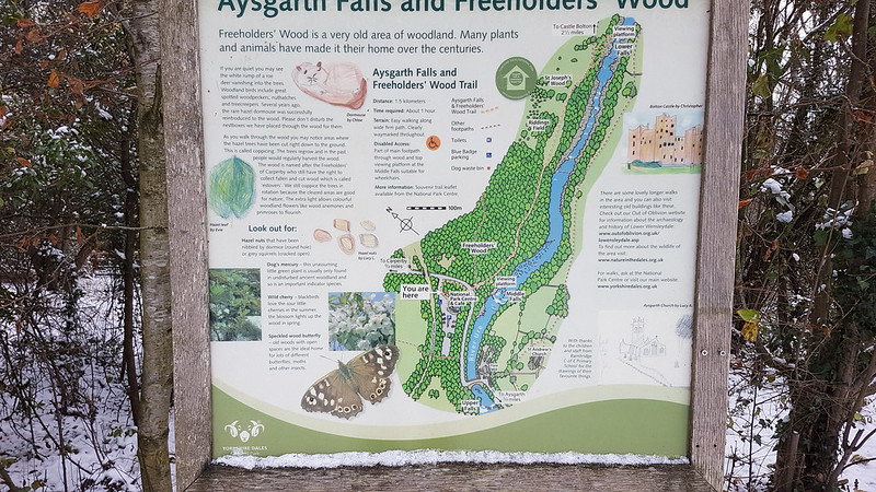
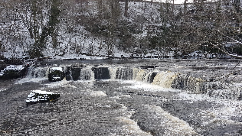
…to Aysgarth Falls on the River Ure.
I don’t think I’ve ever been here before, which given that it’s about a forty-five minute drive from home is a bit of an oversight.
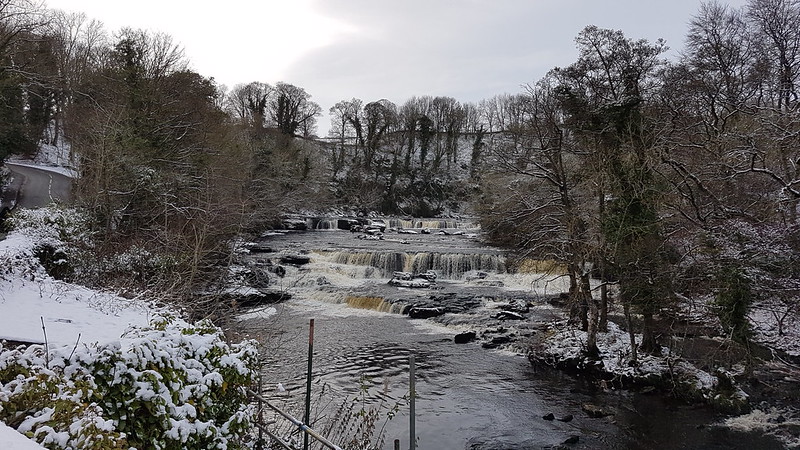
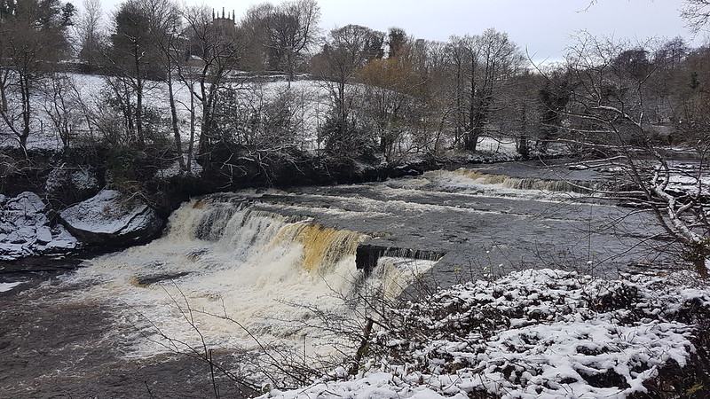
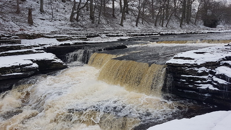
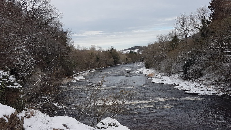
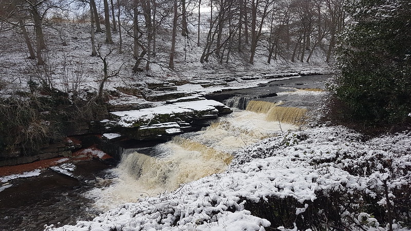
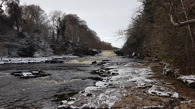
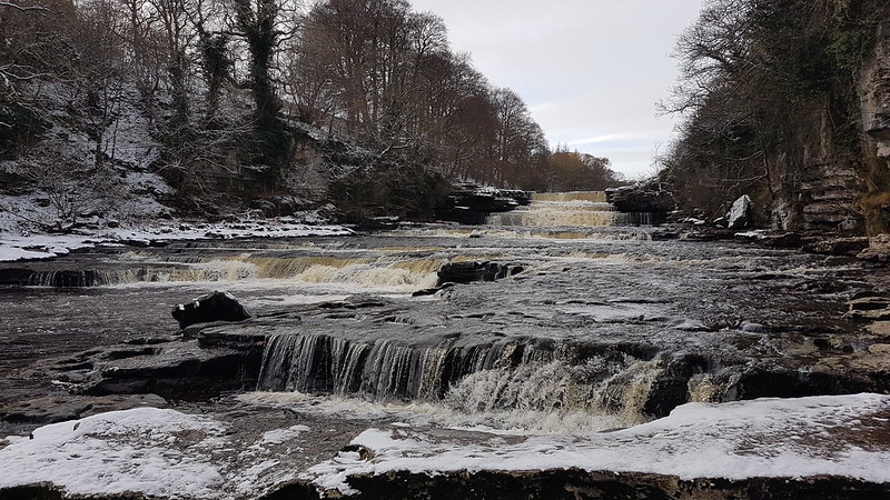
Part of High Force.Another part of High Force.High Force from Yore Bridge.Middle Force.River Ure – looking upstream from Lower Force.Part of Lower Force.River Ure – looking downstream from Lower Force.Lower Force.
TBH left me at Middle Force, because she didn’t want to watch me scuttling around on the snow covered banks taking photos – she was worried I would fall in. When I eventually tried to catch her up, I couldn’t work out where she’d gone. It turned out she’d found a rocky little scramble which took us down to the bank of the river. A broad shelf of limestone, wet, icy, snowy, uneven – essentially an accident waiting to happen – gave a route back up toward the falls.
Could I resist temptation? Could I ‘eck!
Lower Force.
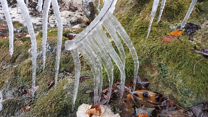
The steep, rocky bank here was dripping wet and where the water was running down the rocks anything below was liable to have acquired a thick coating of ice. Twigs….
Even blades of grass…
Lower Force – from as close as I managed to get.The treacherous route back. Amazingly, I managed not to fall over. Or in.
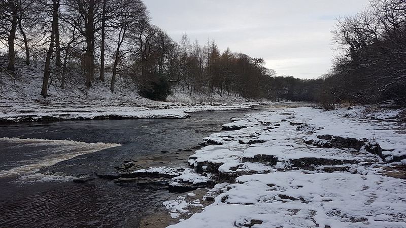
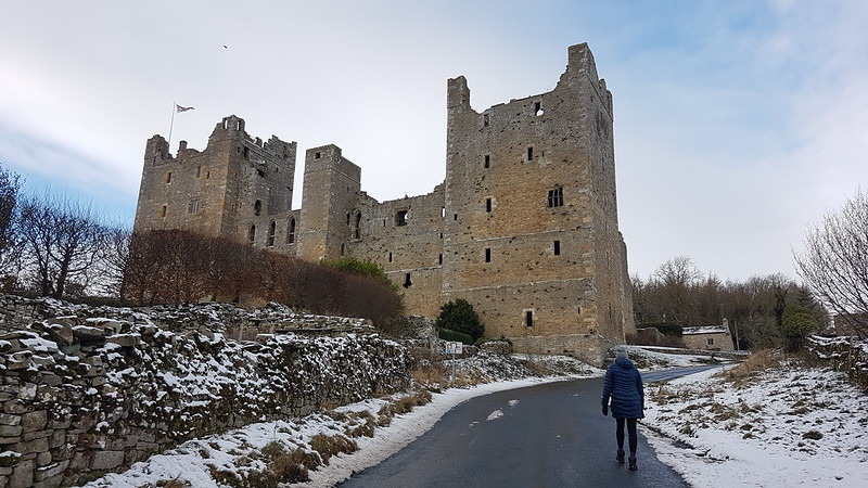
From Lower Force, we climbed away from the Ure and across the fields towards the village of Castle Bolton, which is dominated by Bolton Castle.
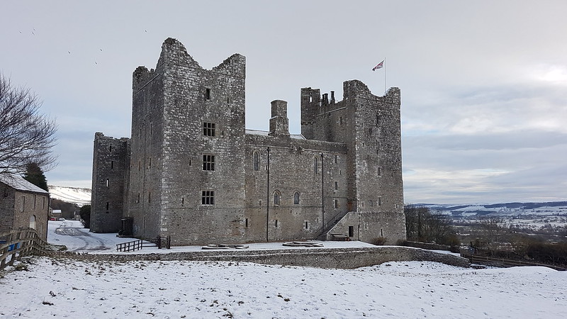
Our first view of Bolton Castle.Getting closer.Nearly there.In Castle Bolton.
I’m almost as much a sucker for castles as I am for waterfalls, and so was once again snapping away like a loon.
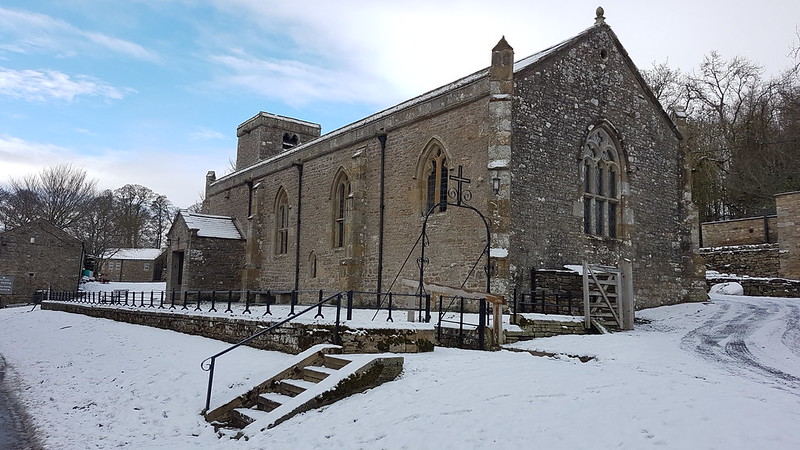
St. Oswald’s Church.
Bolton Castle is remarkably well preserved for an English Castle, most of which were ‘slighted’ during the Civil War. I shall definitely have to come back to have a proper look around at some point. And a peek in the church too.
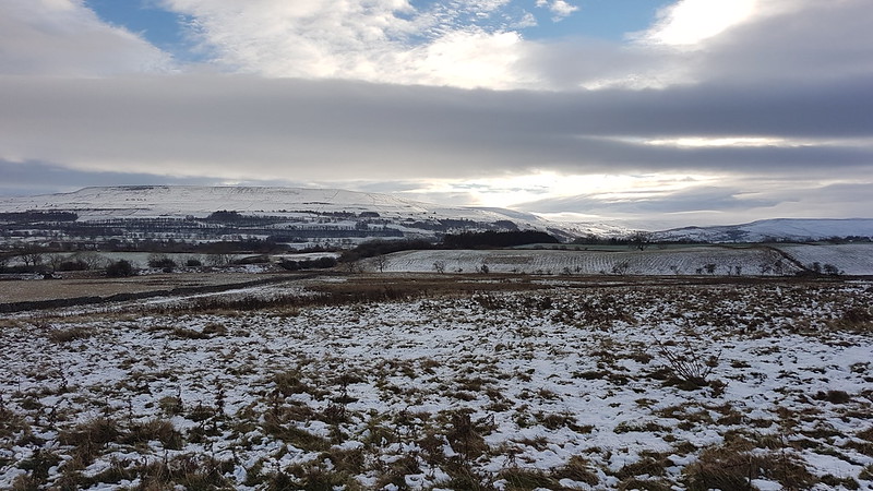
Wensleydale.
There’s a very direct route from Castle Bolton via West Bolton back to Carperby. The wind had picked up and it was now bitterly cold. I really should have stopped and put more layers on.
The tea rooms at Yore Bridge had not yet opened when we got there, and Castle Bolton didn’t have anywhere serving refreshments (though I think the castle has a restaurant in the tourist season), so once we got back to Carperby, we drove to Hawes for a very late cafe lunch, then hurried home to meet the boys from the train.
Not only had I enjoyed the walk enormously for its own sake, I was also pleased that I’d had no obvious Covid fatigue hangover, and I’d had no problems with my Plantar Fasciitis. I’ve had issues with it for years, on and off, but recently it had been much worse. I’d seen a physio who had me working on a programme of stretches and I was pleased that they were seemingly having a positive impact. (And continue to do so.)
So: Operation Catch-up is underway. February gets just a single post. Lots of short walks in February, nothing much further than 5 miles and often shorter than that. No ascents of Arnside Knot, but endless trips to Jenny Brown’s Point. I see, from MapMyWalk, that there were a couple of spells when I didn’t get out for several days running – I think a combination of work, inclement weather and decorating were to blame (decorating, I have decided, is one of TBH’s hobbies). As far as I remember, I only left the immediate area once all month.
I think it’s fair to say that the weather was quite variable, as you might expect in February, but as my photos show, there was some blue sky about too from time to time.
The 1st
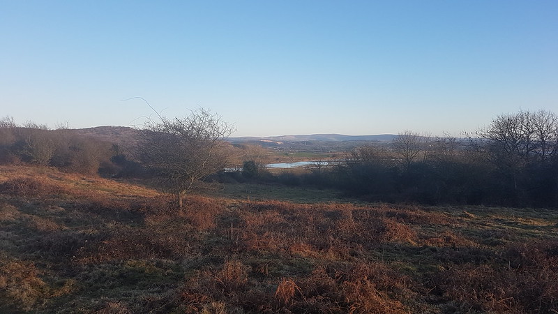
A distant view of the HowgillsThe Dale and The Forest of Bowland from Castlebarrow.
The 2nd
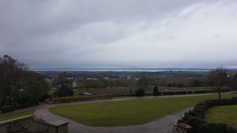
A had a physio appointment in Lancaster. Whilst she was there, I took the opportunity to have a wander around Williamson Park and the grounds of the University of Cumbria (in Lancaster, in Lancashire, I know?).
Williamson Park fountain.The Ashton MemorialThe view over Lancaster and Morecambe to the Lakes from the Ashton Memorial. Shame about the light.
The 4th
TBH and I were out for our habitual circuit via The Cove and The Lots. We met A walking with her friend S, The Tower Captain’s daughter, and their dogs Hanley and Bramble.
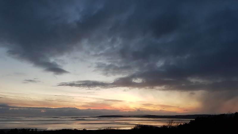
Dark cloud sunset from The Lots
The 5th
Silverdale Moss from the rim of Middlebarrow Quarry.A flooded path in Middlebarrow Wood.Late light at Hawes Water.
The 6th
A Charm of Goldfinches.Silverdale Moss.
The 7th
Leaden skies over Eaves Wood.A fierce hail shower.Drifted hail by Quicksand Pool.
The 8th
Clougha Pike from Heald Brow.
The 9th
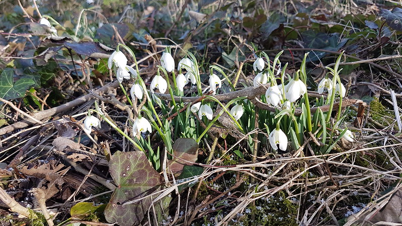
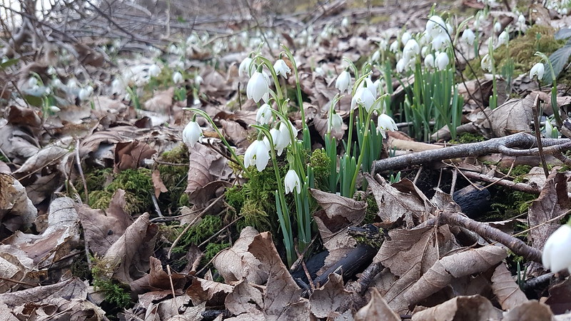
Snowdrops.
A couple of hedgerows close to home were cut right back, down to the ground, but the roots weren’t dug out, I don’t think, so hopefully they’ll eventually grow back. (Must check on their progress.)
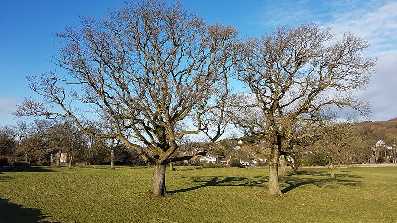
I love the shape of the oaks when their branches are bare.
Late light from Castlebarrow
The 10th
Several different breeds of sheep here; I think the large one in the middle foreground is a Valais Blacknose sheep, presumably enjoying the ‘Alpine’ conditions in Silverdale. I’ve been racking my brains trying to remember wether I ever noticed any sheep like this when, years ago, I holidayed in Saas Fee, in the Valais Canton of Switzerland, but I can’t recall.
Sunset from Castlebarrow.Post sunset from The Lots.
The 11th
One of several photos I attempted to take of the sky, which had some interesting colours, during a wander around Middlebarrow Woods, where it’s quite hard to find a view which is uninterrupted by trees.
The 12th
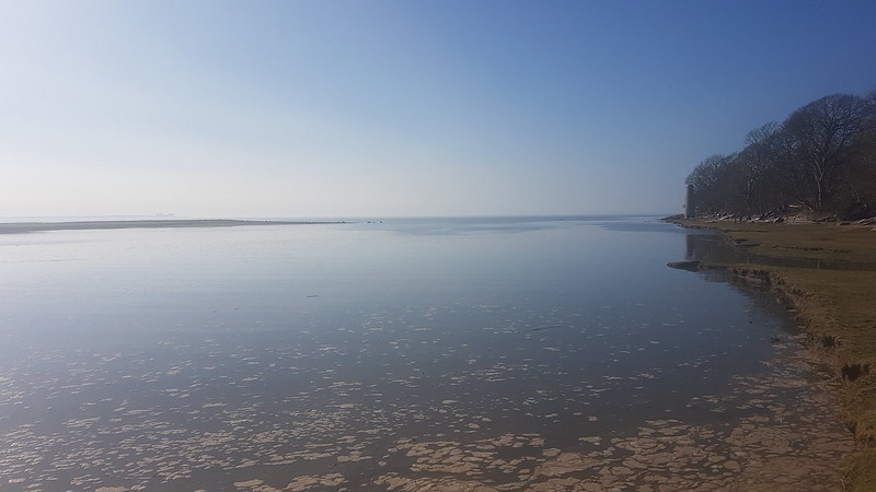
Warton Crag from the Salt Marsh.
This view was massively enhanced by the presence of a large flock of birds, which, unfortunately, were too far away to show up very well in the photograph.
Sunset from Quicksand Pool.And from Jack Scout.
The 13th
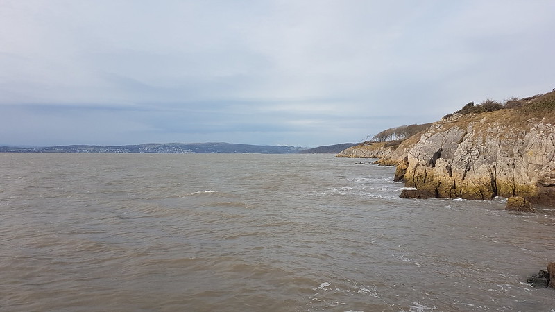
A photograph taken from much the same place as the one two above. A very high tide.The Forest of Bowland across Quicksand Pool.Warton Crag from close to the old Copper Smelting Works chimney.The cliffs of Jack Scout, Grange-Over-Sands and a distant view of snowy Coniston Fells.
The 14th
High Tide again! Warton Crag across Quicksand Pool.
The 15th
A gloomy day. Grange-Over-Sands from The Cove late in the day.
The 16th
The same view the next day. Looking much brighter here…But it turned wet later. With TBH and Little S on Castlebarrow.
The 21st
A walk across the sands, the first for quite some time, with TBH and A, from The Cove to Know Point. It was clearly ‘blueing up’ as Andy often says, so I tried to persuade them both to carry on around Jenny Brown’s Point with me, but I think lunch was calling, so I had to settle for continuing on my own.
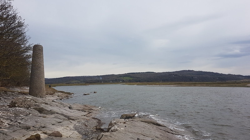
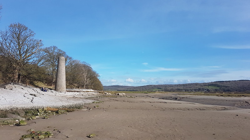
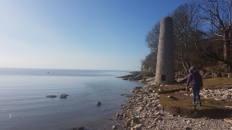
The chimney again.The grassy bank here was been eroding rapidly, revealing this clearly man made feature. Apparently there was once a small wharf here – could this be a remnant?
The 22nd
The Forest of Bowland from Heald Brow.
The 25th
Plenty of rain in February – the two seasonal springs at the Cove were both flowing freely. Looking to Grange again.Late light from Castlebarrow.
The 26th
Heald Brow again.Late afternoon light on Warton Crag and Quicksand Pool.The stone seat at Jack Scout.Looking towards Morecambe and Heysham from Jack Scout. Sunset from Jack Scout.
The 28th
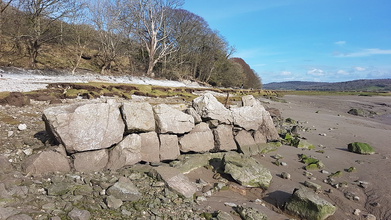
High tide at Quicksand Pool again.A scramble on the rocks required to get to Jenny Brown’s Point.
The two small figures on the water are on stand-up paddle boards, the toy of choice this summer it seems. It looked idyllic, I have to say. We debated whether we could use our inflatable kayaks in a similar fashion – we haven’t done to date, but maybe this reminder will galvanise some action on my part?
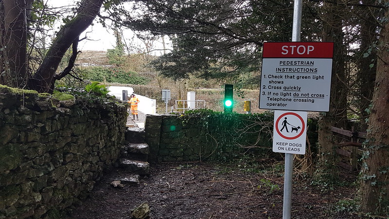
A new traffic light had been installed at Waterslack where a footpath crosses the railway line. I suggested to the Network Rail engineer, who was there testing the lights, that I could claim the privilege of being the first to use the crossing, but he told me that they’d already been on for 20 minutes and that he had crossed several times, which made him first.
He was wrong, obviously.
I realised yesterday that I’ve been writing posts about this January since the start of June. So two months to write up one: this is obviously not sustainable! At this rate, there’ll come a point pretty soon where I’m exactly a year behind and it will seem like I’m strangely in sync. January, as Pilot used to sing, has been hanging on me.
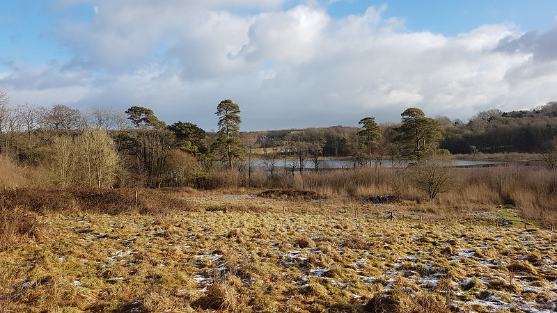
Hawes Water
Clearly, this won’t do – so back to portmanteau posts. This one winds-up the final week of the month, glossing over a couple of walks when the weather was a bit grim and the light not so suited to taking photos.
Hawes Water Summer House, newly restored and turned into a visitor centre. At the time it was still locked up and, I realise, I still haven’t been in. I wonder if it’s open yet? Maybe I’ll have a look tomorrow morning!
No such problems on the Monday, when I had another long lunch break walk.
It was still cold, and the edges of Hawes Water were partially frozen over.
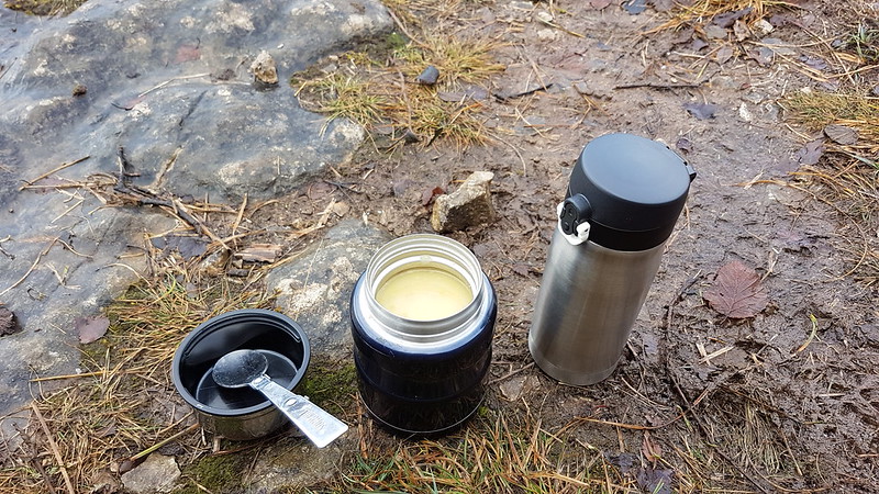
I headed for the ‘top’ of the limestone pavements…
…and settled down for some soup and a cup of tea (in the insulated mug)…
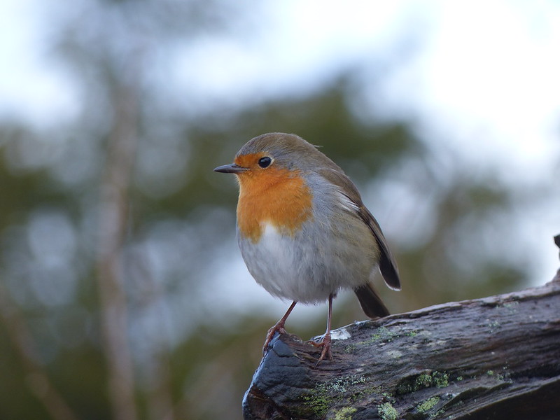
I was sitting in a favourite spot of mine, close to a small set of steps which have a rustic handrail…
This Robin seemed intent on joining me for my repast. Sadly, I didn’t have any bread to share.
A rainbow day.Snowy lakeland peaks (just about?) visible behind the trees of Gait Barrows.
Later, I was out again and took a turn by The Cove and The Lots.
On the Friday, after work, TBH and I were out by Hawes Water again and were rewarded by some stunning late-afternoon light.
Hawes Water.
I was back that way, on my own, on the Saturday, presumably to capture the obligatory Snowdrops picture.
It was a walk which finished quite late!
On the Sunday we repeated our usual circuit of Jenny Brown’s Point, but the weather wasn’t up to much. And that’s January dealt with. Oh, oh, oh, it’s magic!
And so to a tune. Something by Pilot? Ex-members of the Bay City Rollers? Not on my watch.
New Year’s Day – back on Castle Barrow.Note the snow on Ward’s Stone.
So we went back to work. Then we didn’t go back to work. And so began the second lockdown. In the first lockdown, we were expected to set and monitor work for students; this time the emphasis was very much on live lessons online. I was surprised by the impact of sitting down all day (mostly on my back and shoulders), something I’m not used to at all.
At least, with no commute, I could get out for a stroll as soon as work was done. I have a lot of sunset photos from the Cove from that first week of January…
Also, because we stuck with our revised timetable, mostly consisting of two hour lessons, when I had frees they were long, sometimes even three hours when lunch was included. This meant that, at least once a week, I had an opportunity to sneak out for a longer walk, deferring my planning etc until the long dark evenings.
It was a cold week: this is Bank Well, frozen over on the Thursday…
And then, on the Friday, it snowed. A and B were unusually keen to join me for a walk late on a Friday afternoon. (S had already set off to the Lots with a sledge and his friend T).
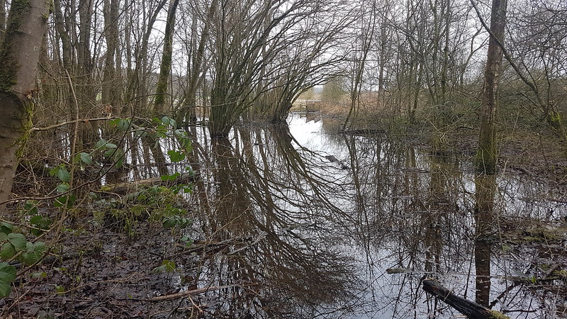
By the time we reached Lambert’s Meadow (which, often very wet, was frozen over), it was coming down thick and fast and settling rapidly.
This…
Is the last photo I took, principally, I think, because it was getting dark. We headed down to The Lots to meet S and T, and found lots of children and parents from the village sledging on the humps and hollows there in the dark. Everybody was in good spirits and by responding exactly as we usually would to these unusual circumstances, it felt like a moment of light relief and somehow a brief return to normality of some kind.
The next day was a good one too. I took a lot of photos, so I’ll leave that till my next post.
So – the blog has advanced to the final couple of days of last year. These photos are from a beautiful, still day when TBH and I took one of our favourite wanders around the coast to Arnside.
As you can see, with no wind, both the sea and the River Kent were mirror calm and reflecting the lovely blue skies.
Frozen footprint.The retreating tide had left a line of ice in its wake. It must have been pretty cold!There were a few ‘icebergs’ in the Kent – presumably they’d survived the trip down the river from where there was snow in the hills.Arnside Viaduct, snowy Eastern Fells behind.Although it’s slightly hazy on the left, this is my favourite photo from the day.Lunch, from the Old Bake House, on the prom.We took a fairly direct route back, not climbing the Knott. You can see that the field edge below the woods, having been in the shade, has retained its frost all day.Late light on Arnside Tower.Holgates Caravan Park was busy, even the touring section. I hope these caravans had good heaters!
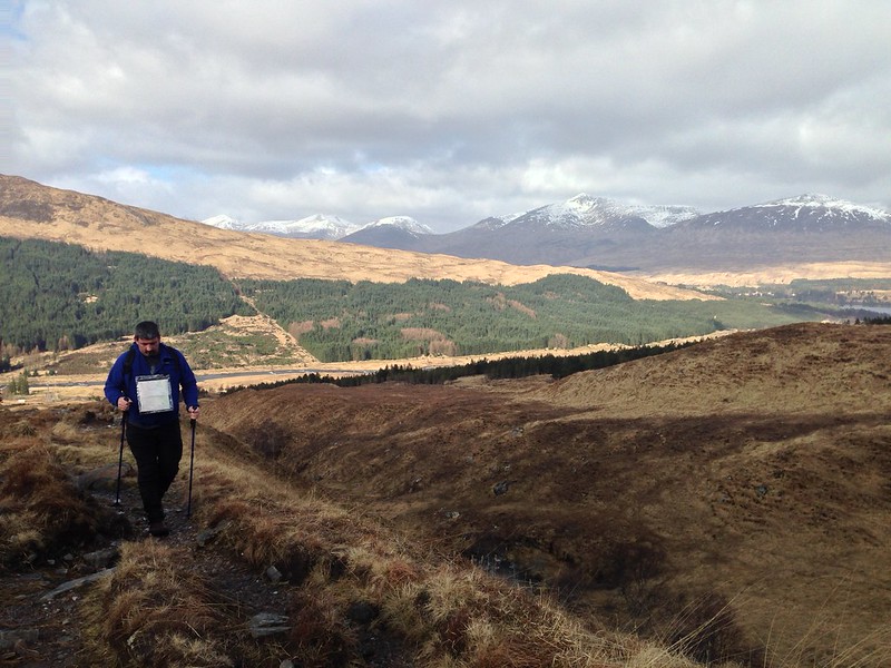
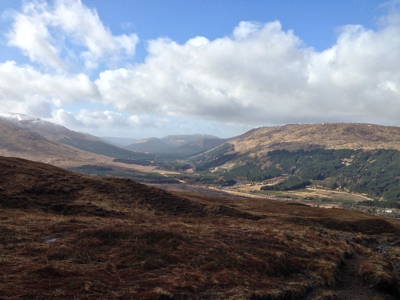
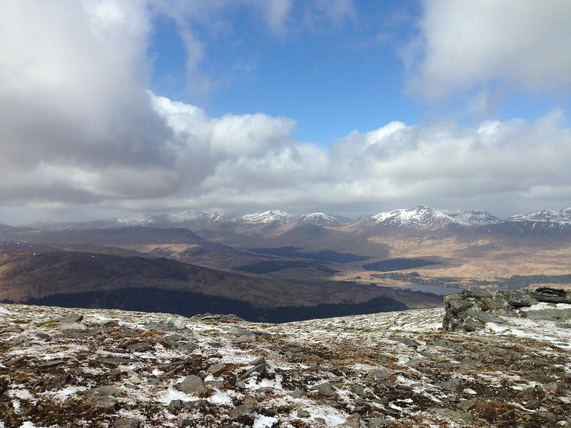
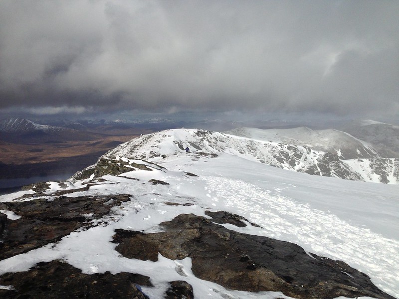
A cast of thousands (well a dozen or so) assembled for our winter gathering, this year held once again at the Bridge of Orchy Hotel and, as ever, superbly organised by Andy. On the Saturday, The Tower Captain and I decided to tackle the two hills which tower over the hotel to the East – Beinn Dorain and Beinn an Dothaidh.
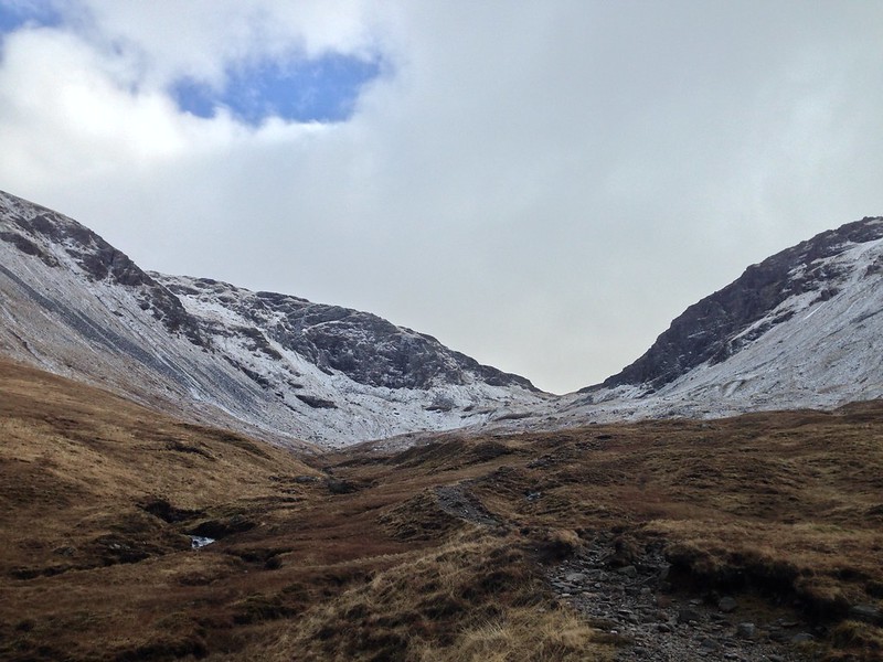
The route was extremely simple: follow the path beside the Allt Coire an Dothaidh into the slightly forbidding looking Coire an Dothaidh…
Turn right at the col for the long haul up to Beinn Dorain before returning to the col to nip up Beinn an Dothaidh via a circuit of Coire Reidh.
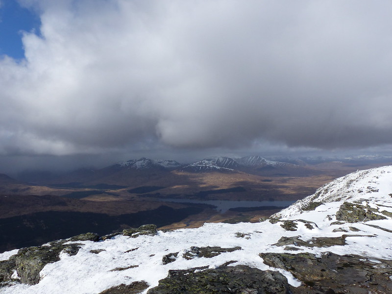
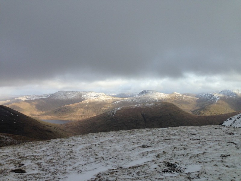
Looking down Glen Orchy.
Looking across Loch Tulla.
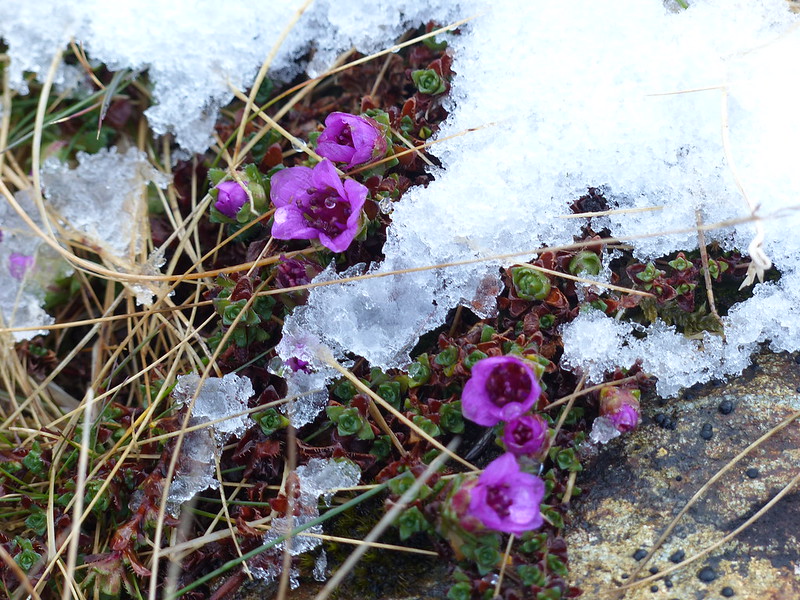
Towards the top of Corie an Dothaidh I was really surprised to see, emerging from the snow, the flowers of what I assume to be Purple Saxifrage, familiar to me from the limestone crags high on Ingleborough and Pen-y-ghent.
We stopped for a while, behind a boulder near the top of the corrie, for a drink and a bite to eat.
Lochan on the ridge, unnamed on the OS map.
Beinn a Chuirn and Beinn Mhanach, with Beinn Sheasgarnaich behind TC.
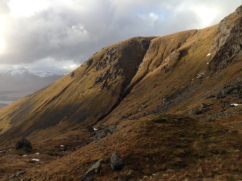
Looking up to the steepest section of the climb on Beinn Dorain.
Looking back towards Beinn an Dothaidh.
Across Loch Tulla again. Ben Starav, Stob Coir an Albannaich and Stob Ghabhar.
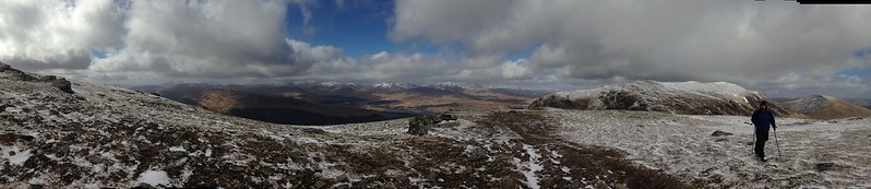
Pano. Click on this, or other pictures, to view a larger image on flickr.
Looking south-west, Ben Oss and Ben Lui prominent.
The weather was pretty changeable and we had a few showers of snow, hail and rain, but on the whole that just added to the drama of the views.
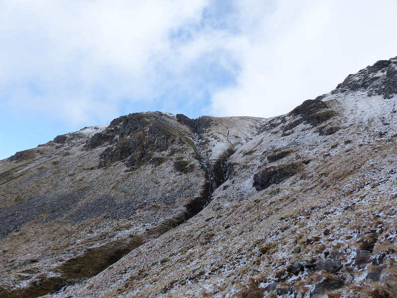
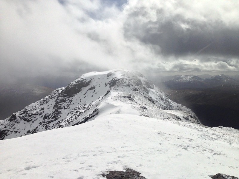
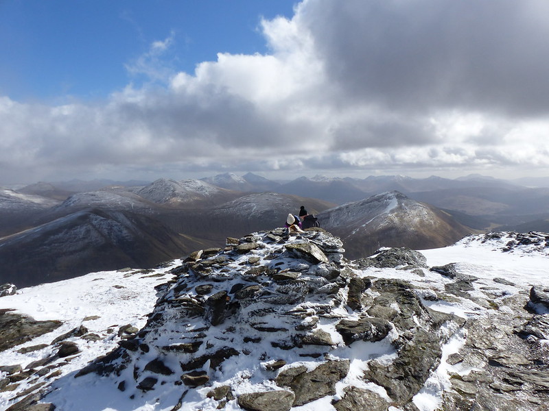
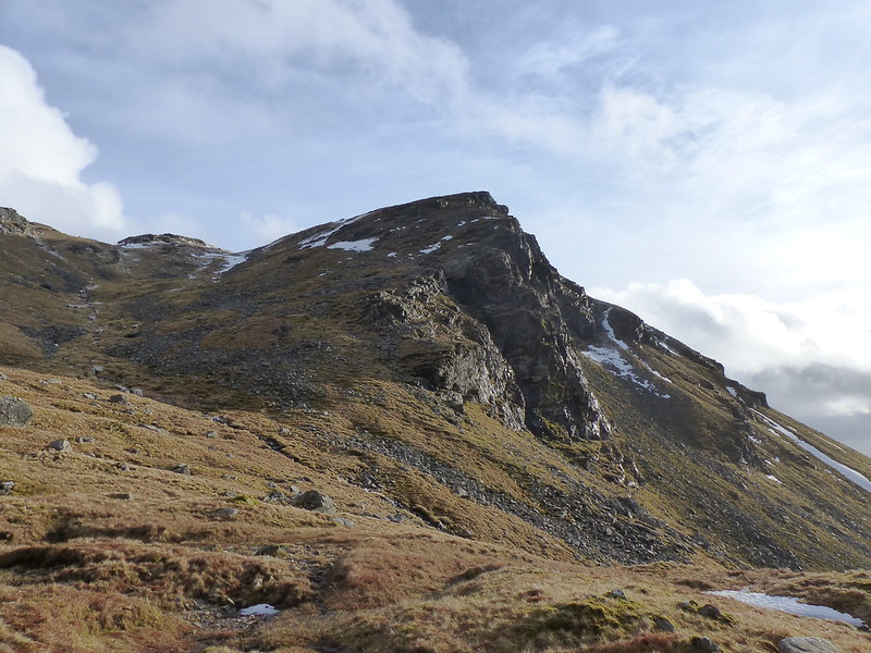
The false summit of Carn Sasunnaich came as a surprise, in mist I can see that it would be very easy to be fooled by it.
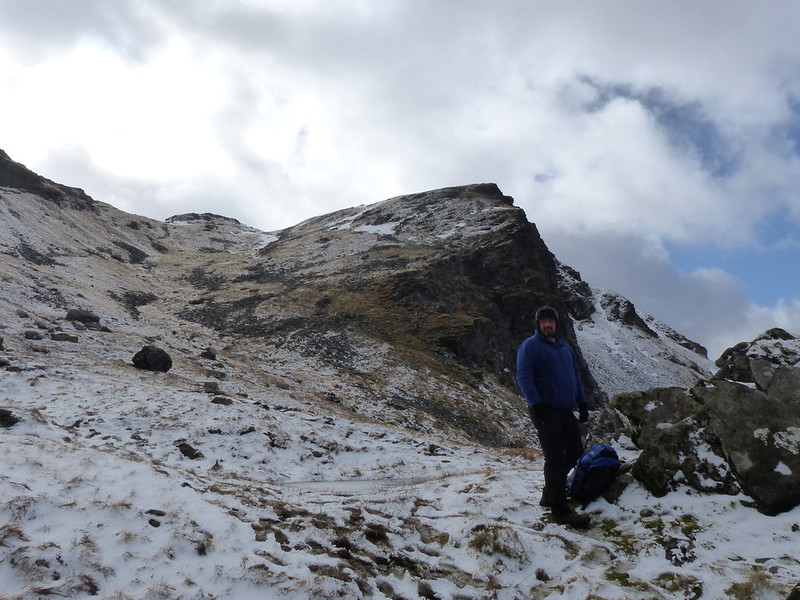
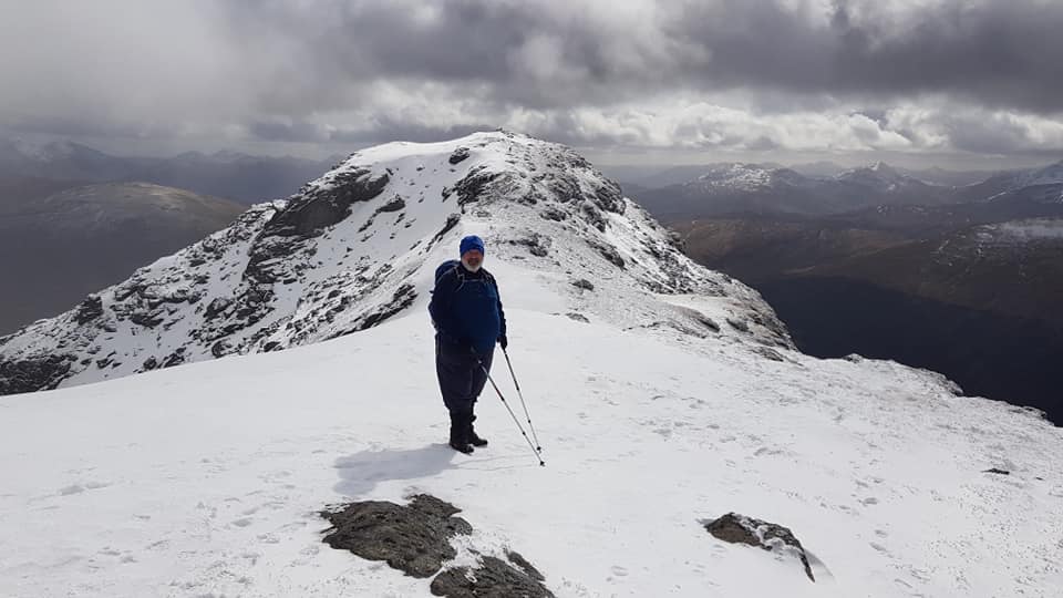
I was feeling in particularly fine fettle along this section of ridge, like I was really in my element.
In fact, here I am, feeling very pleased with myself. The Tower Captain took the photo, I don’t think he’ll mind that I’ve used it.
Looking back along the ridge to Carn Sasunnaich.
Across Loch Tulla again – the weather coming in.
Looking toward Ben Oss and Ben Lui again.
Looking South from the top.
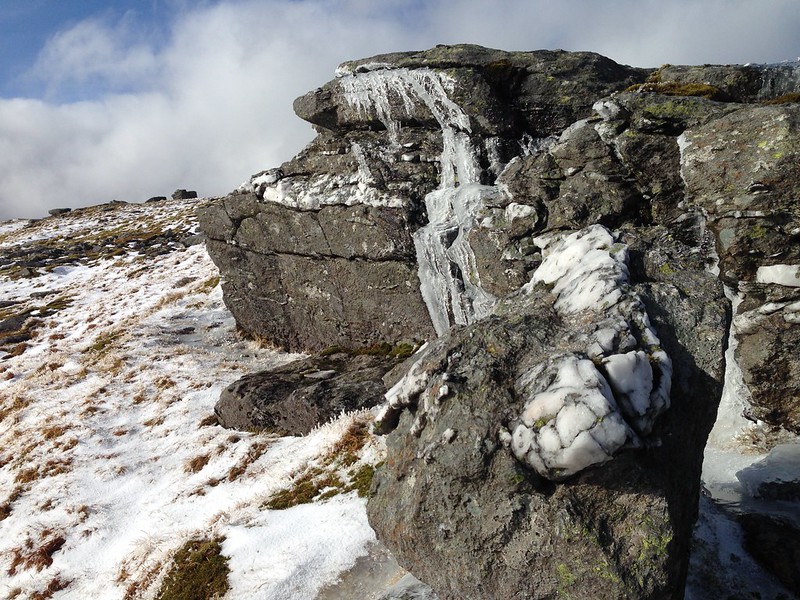
Ice formations on the slopes of Beinn an Dothaidh.
Looking back to Beinn Dorain.
I was hoping that Beinn an Dothaidh would give us superb views across the vast expanse of Rannoch Moor, but, by the time we had reached the top, the weather had closed in again and our views were a bit limited.
Looking down to Loch Tulla.
Beinn Achaladair.
Large cornices and the summit of Beinn an Dothaidh.
The Tower Captain on the summit of Beinn an Dothaidh.
Looking towards the hills around Loch Lyon.
I’m not sure what kind of rocks the hills we climbed are composed of, but they seemed to glitter in the combination of damp and sunlight we had, with lots of silvers and golds on display. Eventually, it occurred to me to try to photograph them, but I only took one photo, which hasn’t really captured the effect very satisfactorily.
When we got back down to Coire and Dothaidh the snow had mostly melted and the late afternoon light put a completely different aspect on the views.
We sat by the same boulder as we had on the way up for one final rest stop…
…before returning to the pub for food, drink and a convivial evening with old friends.