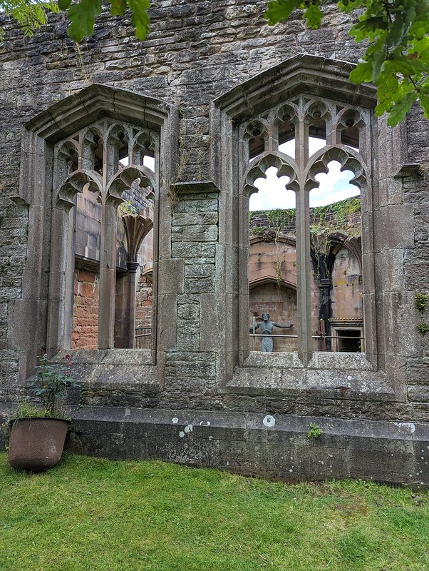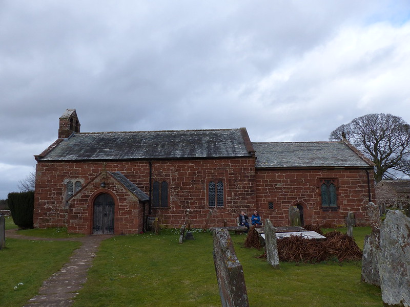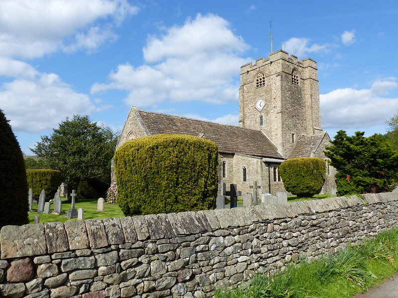
St. Bartholomew’s Church, Barbon.
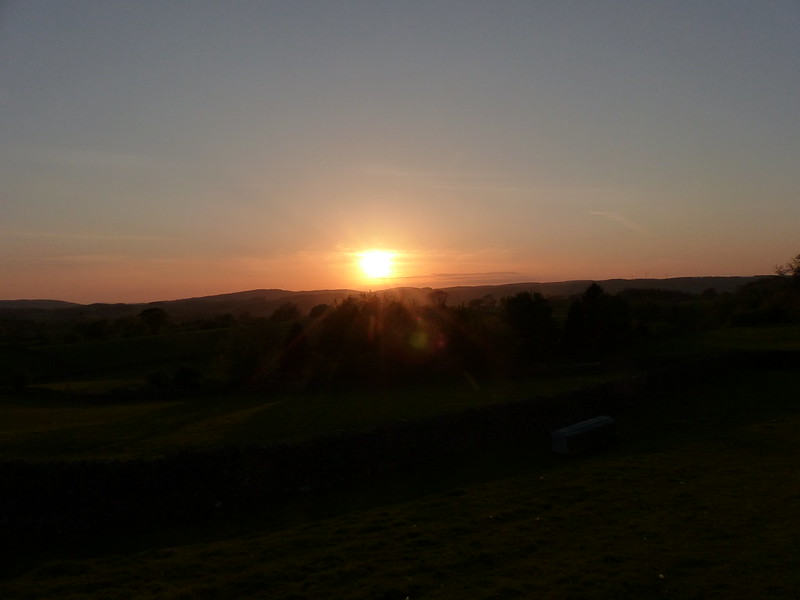
More glorious May weather and another post-work Lune-Catchment wander. This was on a Thursday evening, the day after my photos from Kirkby Lonsdale in the previous post. You remember that I pointed out how Brownthwaite Pike dominates the view from Kirkby? Equally, Brownthwaite Pike has a great view over the Lune Valley and Morecambe Bay.
Years ago, when I was single, my evenings walks rarely took me any further than I could get, under my own steam, from my front door, but just occasionally I would pack up a meal and head out for a picnic on an easily accessible hill with a good view. Brownthwaite Pike was, I think, the place I visited most often: I could park high, at Bullpot Farm, and it was an easy walk from there.
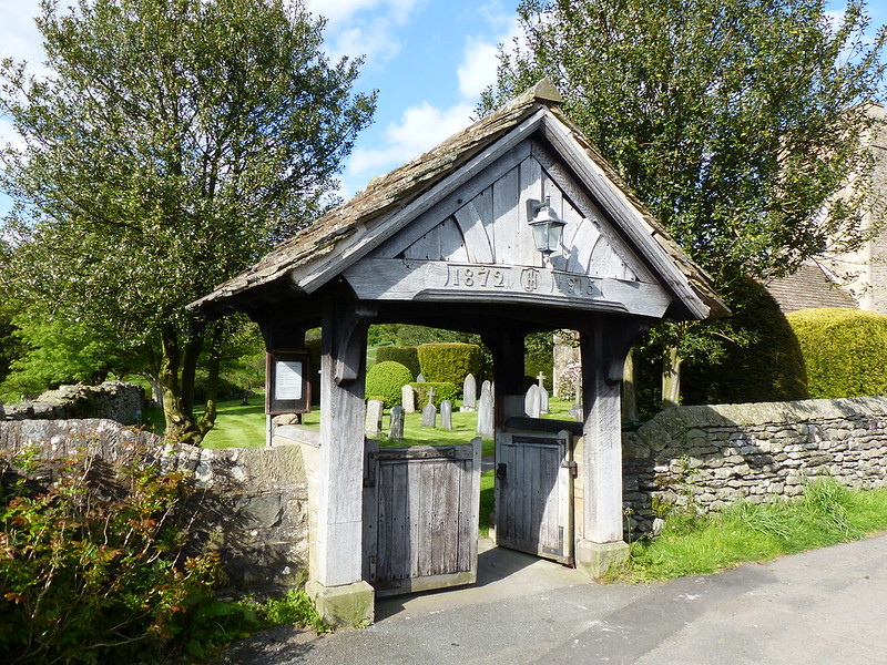
The lychgate.
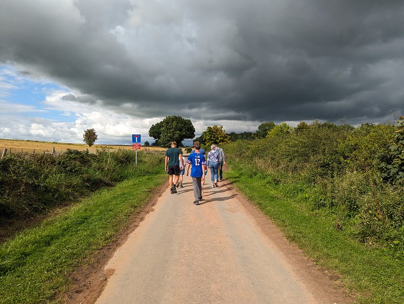
This time, I would do it properly, starting from the village of Barbon.
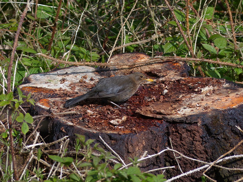
Female Blackbird.
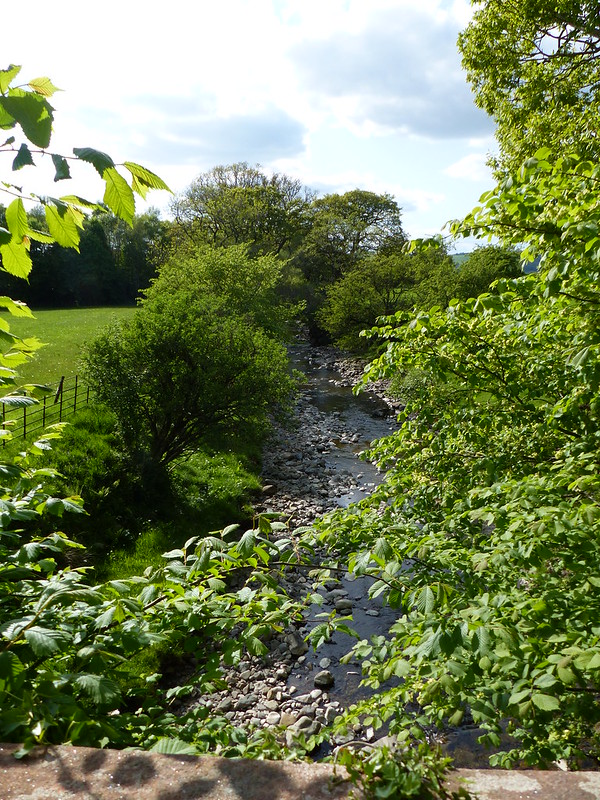
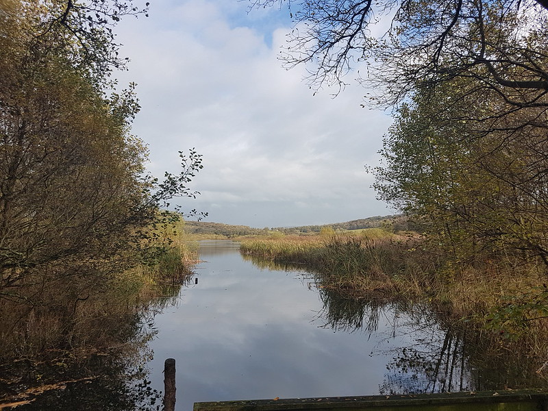
Barbon Beck, another tributary of the Lune.

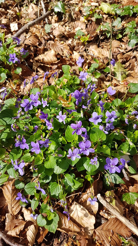
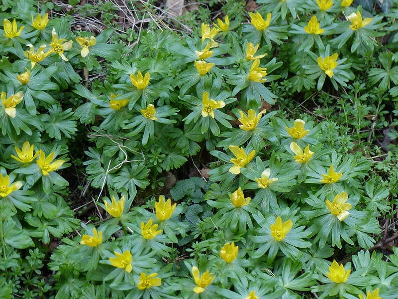
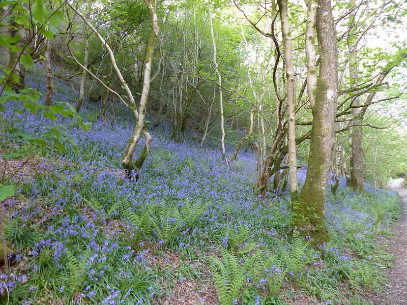
Bluebells!

The right of way initially follows a track which is heading up to Barbon Manor. It’s metaled and even has barriers. I presume that this is the course used for the Barbon hill-climb, an annual motor-sport event.
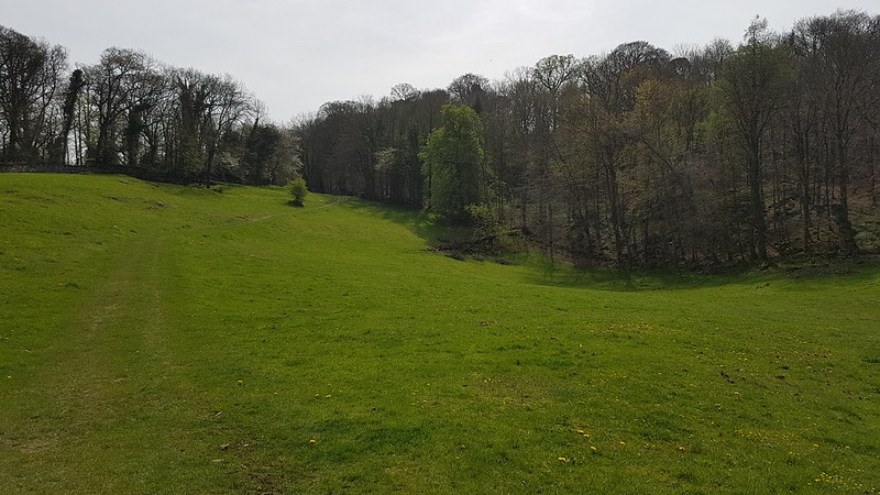
Soon though, the route parts company with the race-track and heads into the woods of Barbondale and more bluebells…
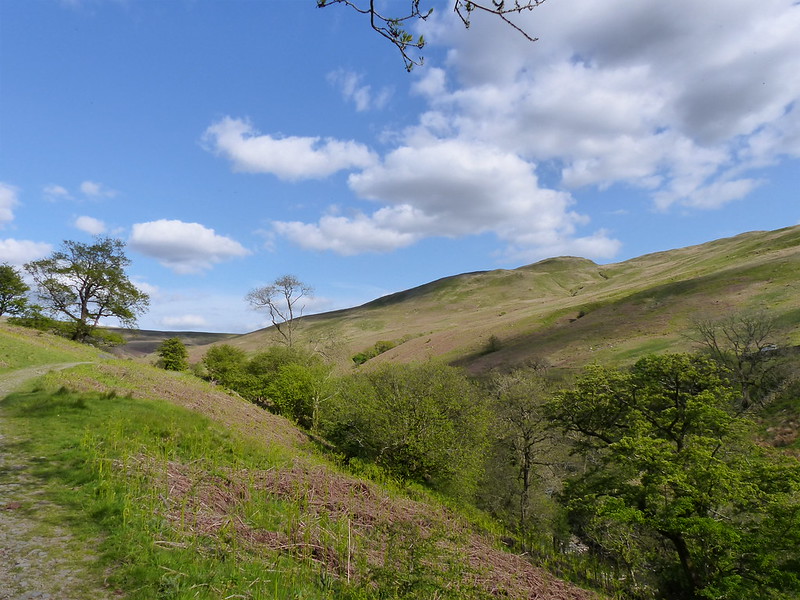
Better yet to emerge from the woods into the sunshine…
I initially assumed that this…
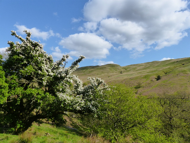
…was a Hawthorn, covered in Mayflower, but it wasn’t…
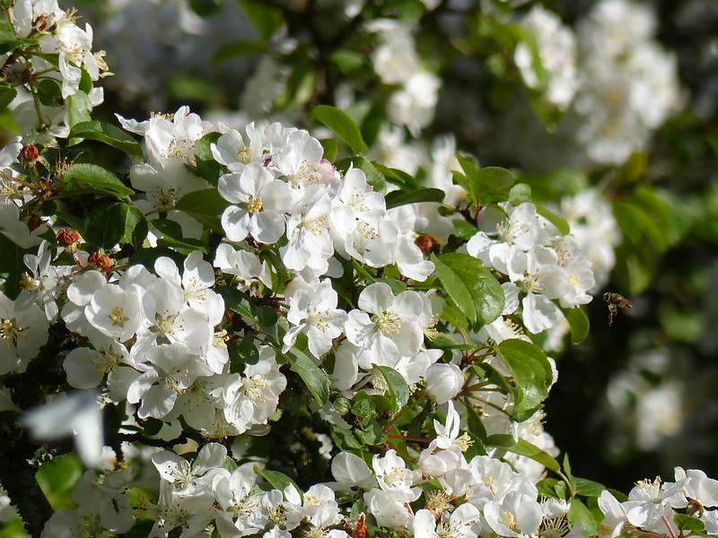
I think it might be an apple-tree. There were a couple more close-by. Maybe there was an orchard here once, when valleys like this one were more populous?
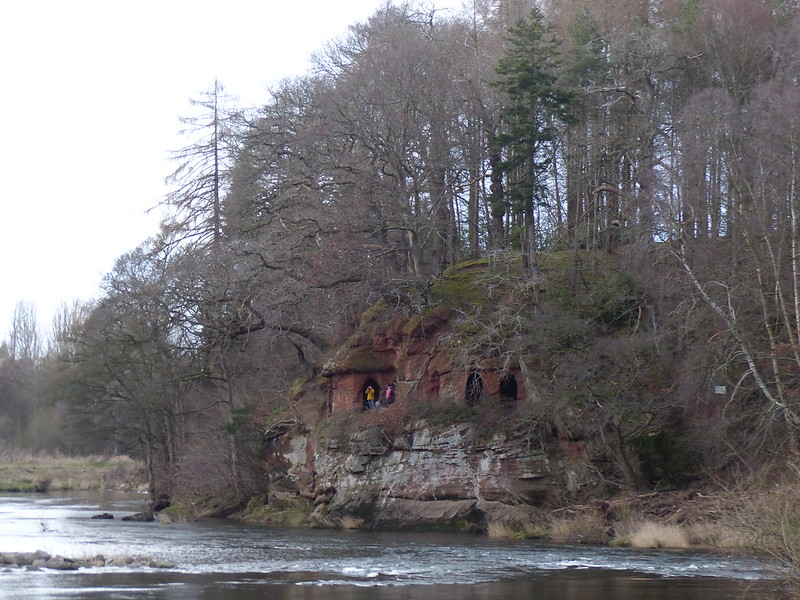
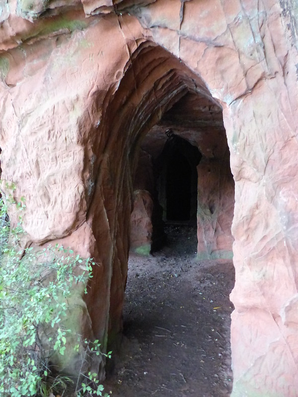
High on the hillside to my left, I spotted an unusual cairn, apparently with a chamber inside it…
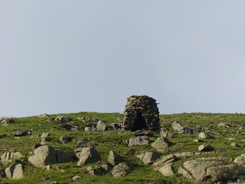
It wasn’t to be the last unusual cairn on the walk.
I chatted to a birdwatcher, who asked me if I had seen anything good? He reported Pied-flycatchers and could hear Willow Warblers nearby. I had nothing so interesting to share. But, soon after passing him, spotted a pair of Reed-buntings and then…

…a Red-start. This was only the third time I’ve seen one and my best photo yet, although, obviously, still room for improvement. I waited to tell my new bird-watching friend, but then felt guilty because we couldn’t find it again among the trees.
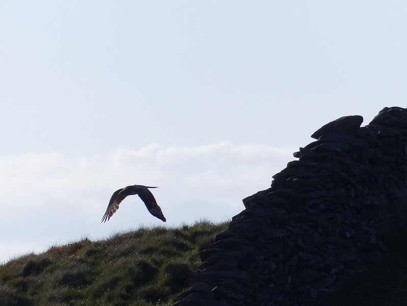
I also briefly glimpsed a raptor in pursuit of another bird just above the hillside, but soon lost sight of both. This heron…
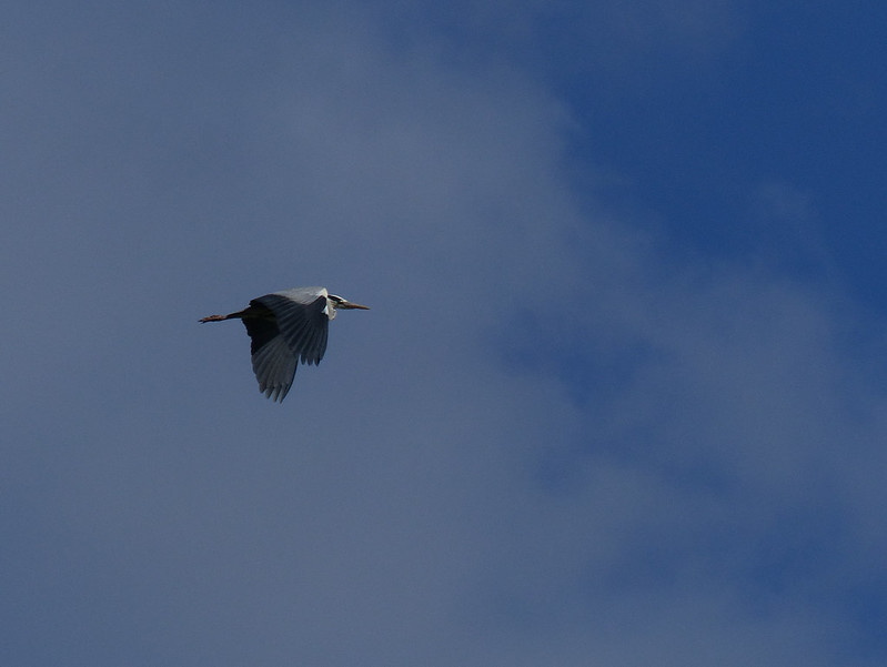
…sailing purposefully by, was much more obliging.
Barbon Beck and Barbondale.
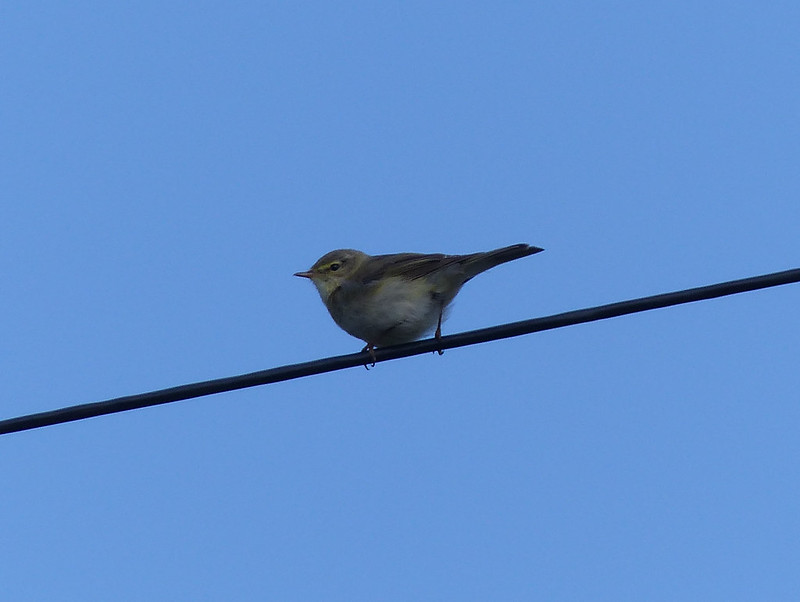
A warbler. Could be one of those Willow Warblers?
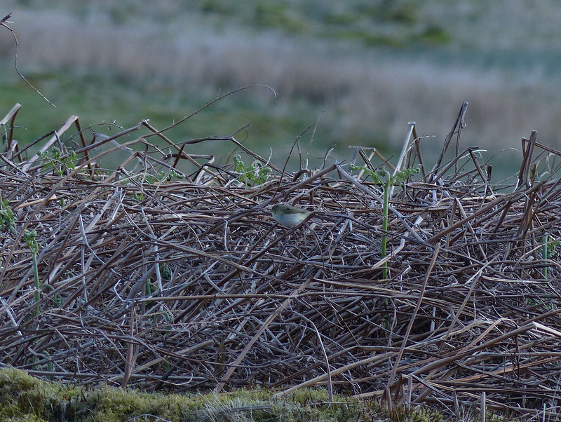
I heard some strange, harsh bird calls, which made me think of grasshoppers, and so thought perhaps they came from Grasshopper Warblers. I saw a few of the birds, low in the vegetation, but this is the only photo I managed. Having looked in my guide, I’m pretty sure that this is not a Grasshopper Warbler, but apart from that, am none the wiser.
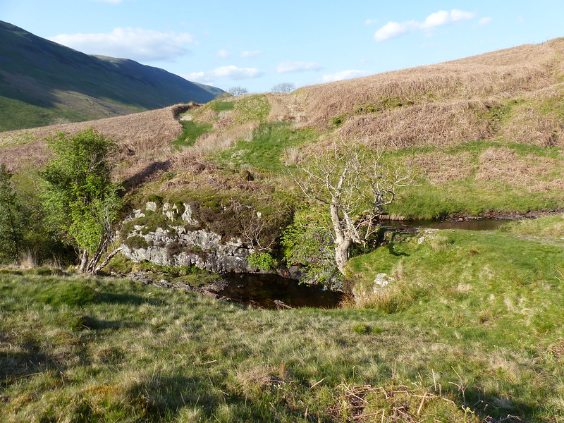
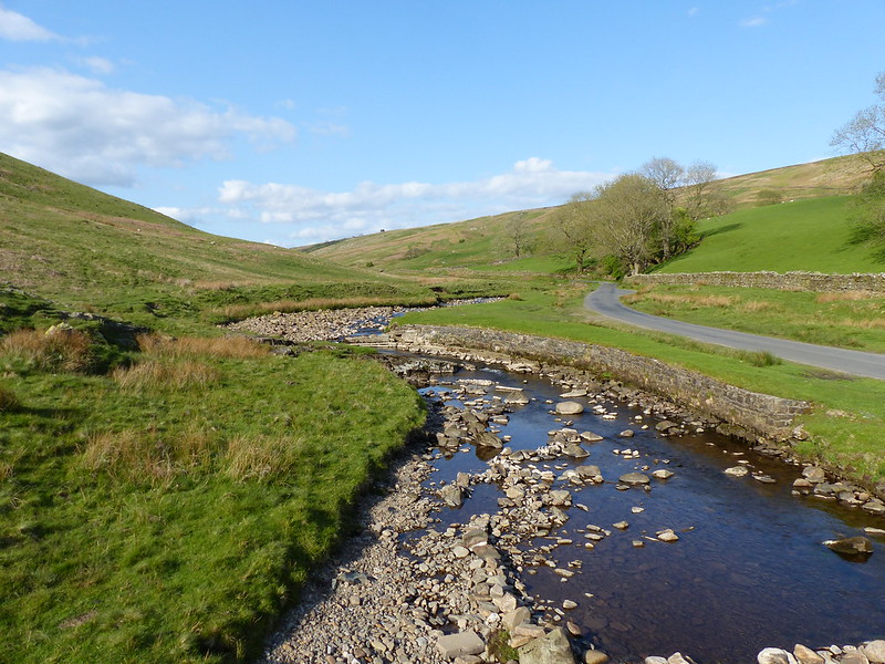
This stream, which feeds into Barbon Beck and is therefore another one of the Lune’s vast tree of sources, is not named on the map, but is, in turn, fed by several smaller streams including Hazel Sike, Little Aygill and Great Aygill. The road bridge which crosses it, however, is called Blindbeck Bridge, so I suppose this must be Blindbeck.
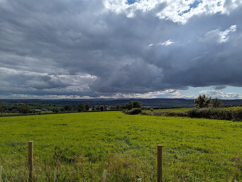
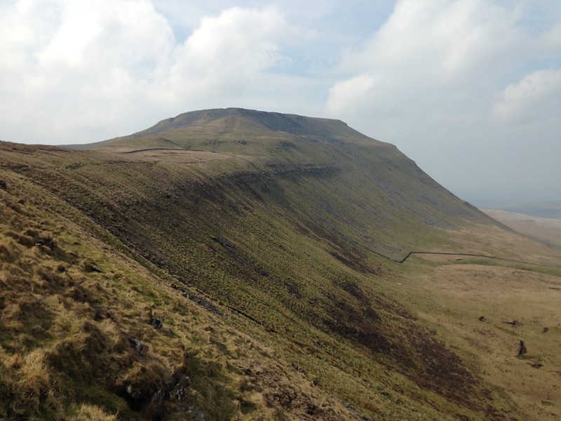
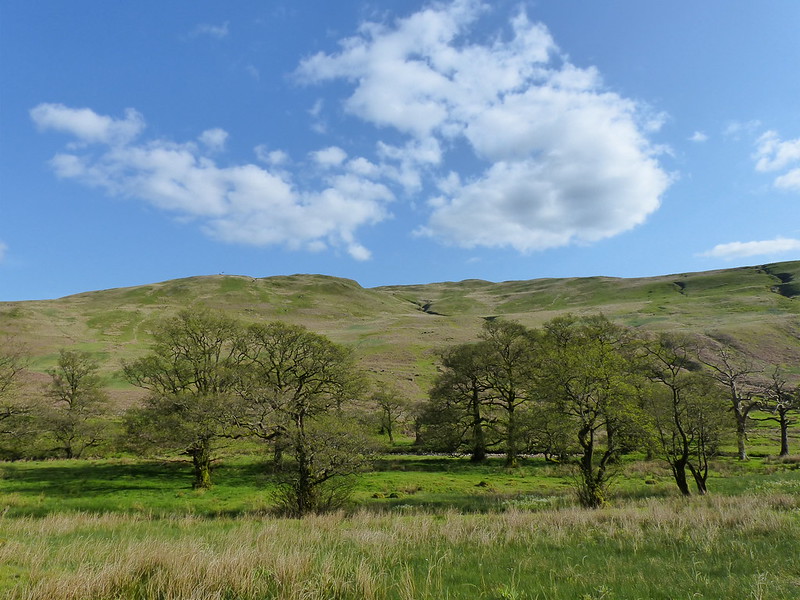
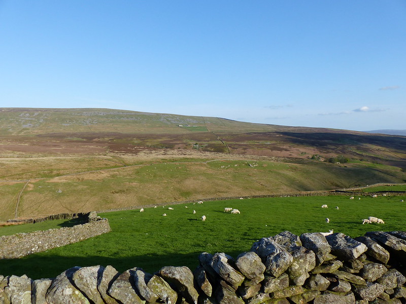
Castle Knott and Calf Top.

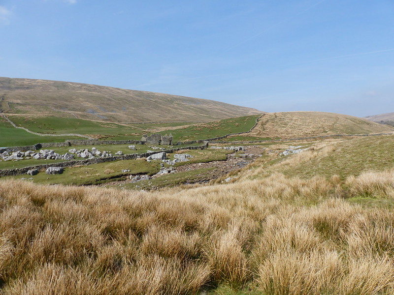
I was impressed with the situation of Fell House, in a remote position above Barbondale.
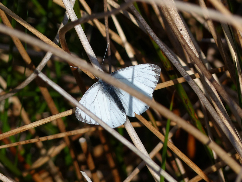
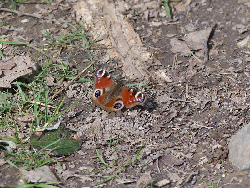
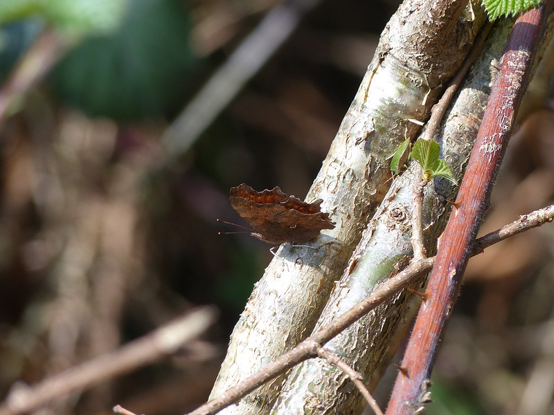
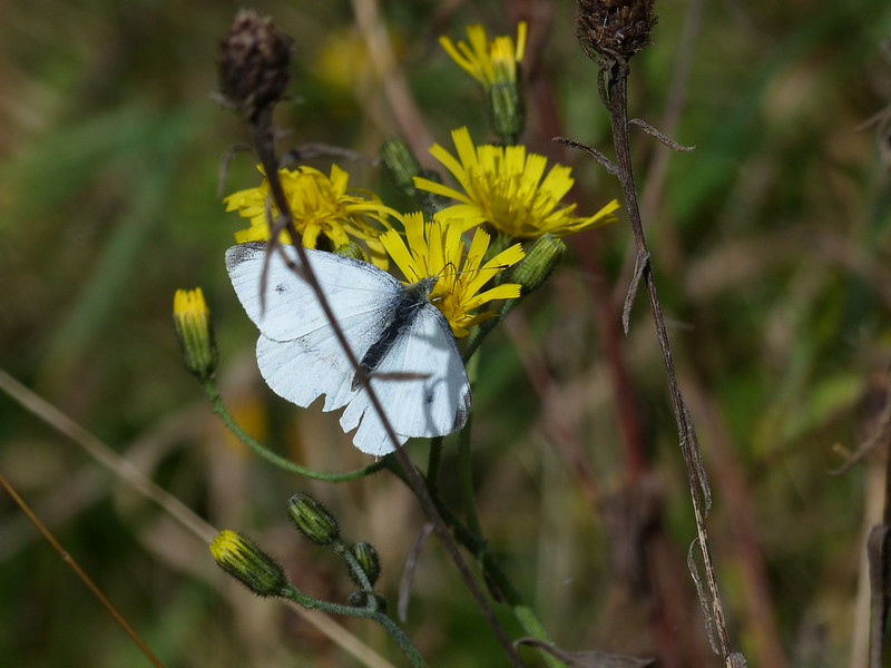
I’ve seen lots of butterflies this month, but have struggled to photograph any of them. This one looks like a female Orange-tip, but has confused me because it has no wing-spots.
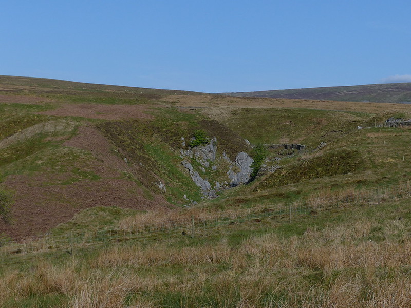
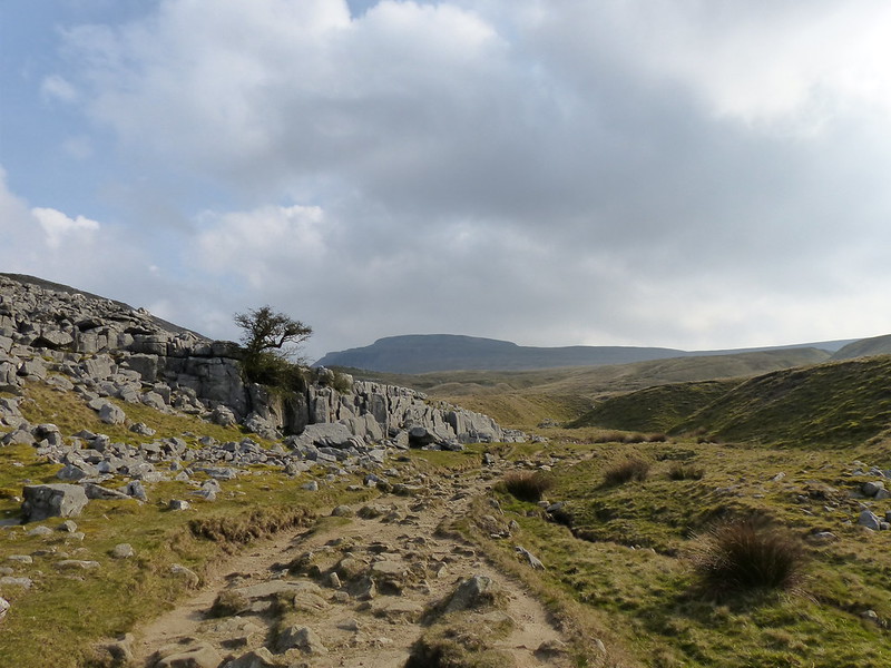
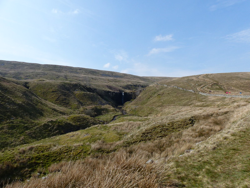
The top of the beck obviously changed in nature, becoming steeper sided with outcrops of rock, I think because the underlying rock was now limestone.
I watched this bird of prey,…

…presumably a Kestrel, hovering in roughly the same spot for ages as I climbed beside the beck. Later I watched a pair swoop across the hillside and both alight in the same tree, where I assume there was a nest, although I couldn’t see it.
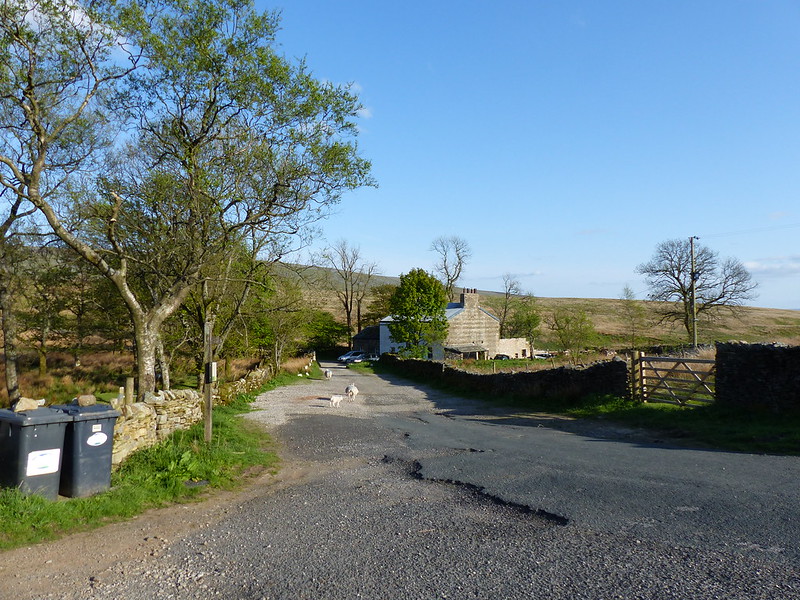
Bullpot farm.
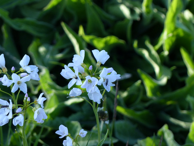
Cuckoo Flower.
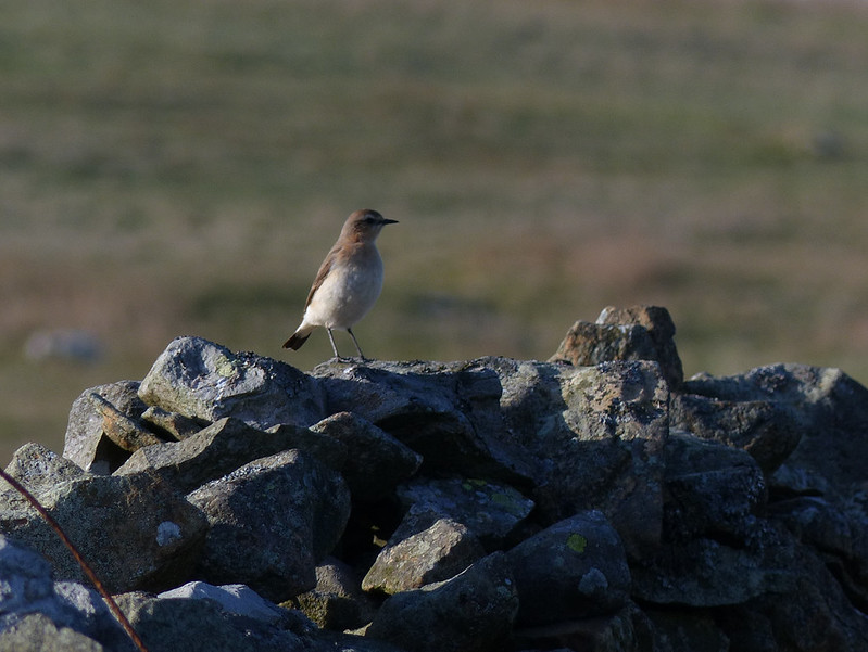
Female Wheatear.
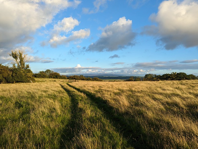
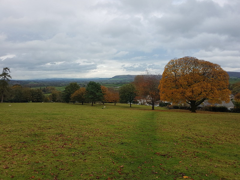
The short road walk from Bullpot Farm was enlivened by numerous birds, mainly Wheatears and Meadow Pipits which were flitting around the drystone walls on either side. Also by the expansive views…
Gragareth and Leck Fell House.
And by the calling of two Cuckoos. In fact, the sounds of Cuckoos had accompanied me most of the way up Barbondale too.
The highpoint of Barbon Low Fell is unnamed on the OS map, but I notice online that other walks have used the name Hoggs Hill, which is nearby on the map. In the absence of any better suggestions, I shall do the same.
As I approached Hoggs Hill then, I noticed another raptor, a Kestrel again I think, sat calmly on a wall, watching me.
I scrabbled to get my camera pointing in the right direction and focused, but the bird was away before I managed that…
Hoggs Hill.
Middleton Fells from Hoggs Hill.
Crag Hill and Great Coum.

Forest of Bowland.
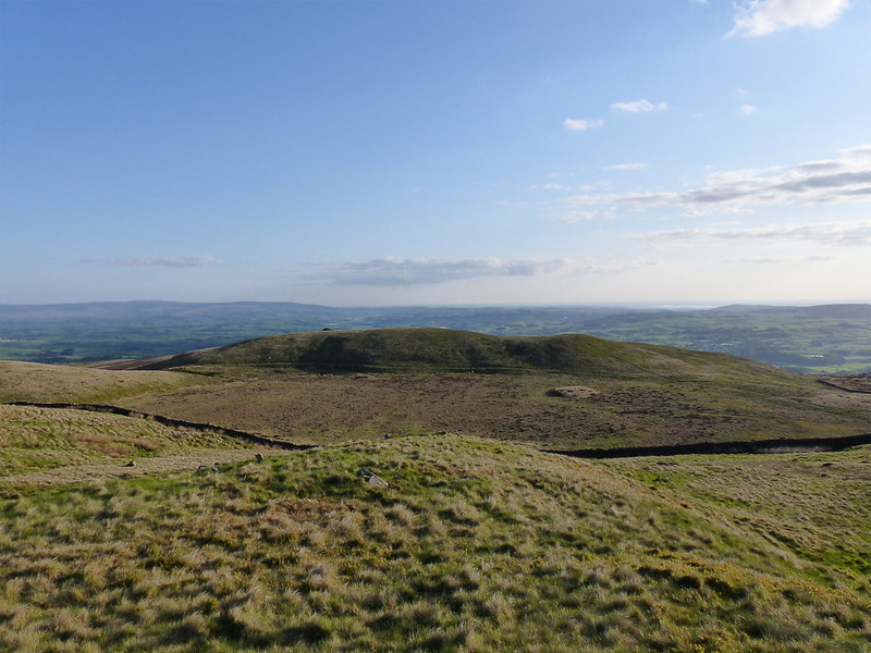
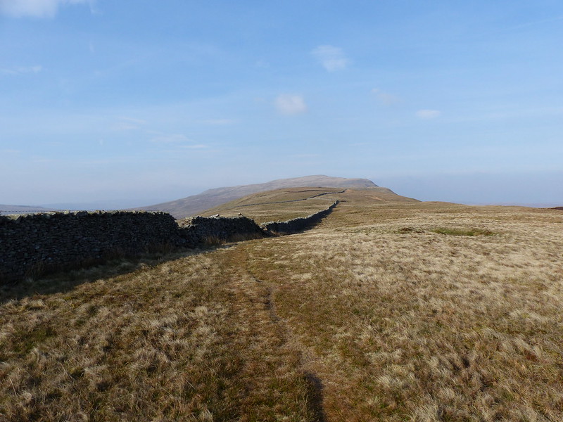
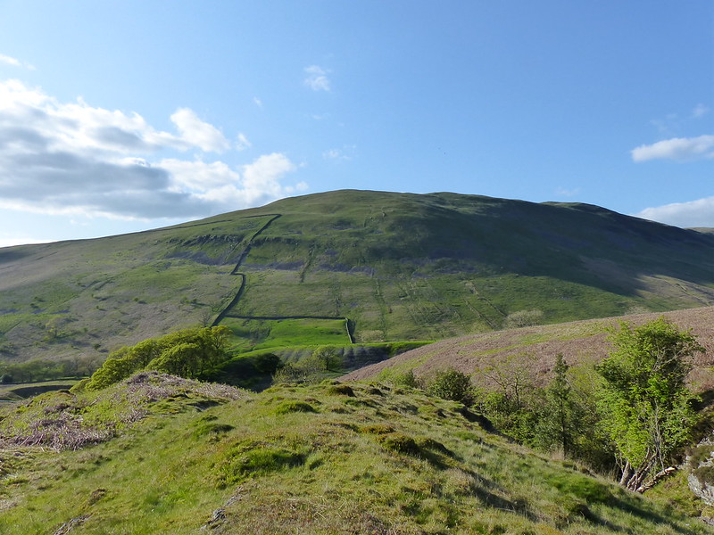
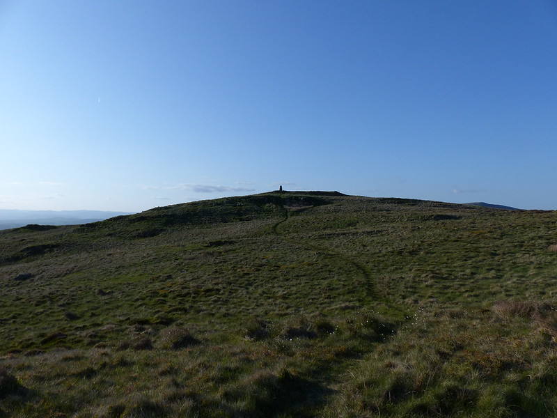
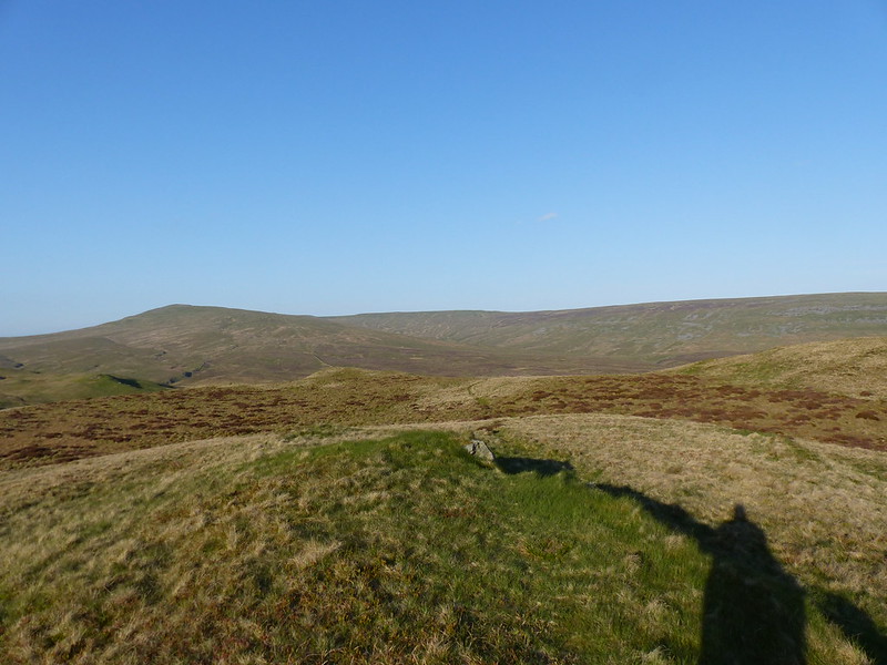
Brownthwaite Pike.
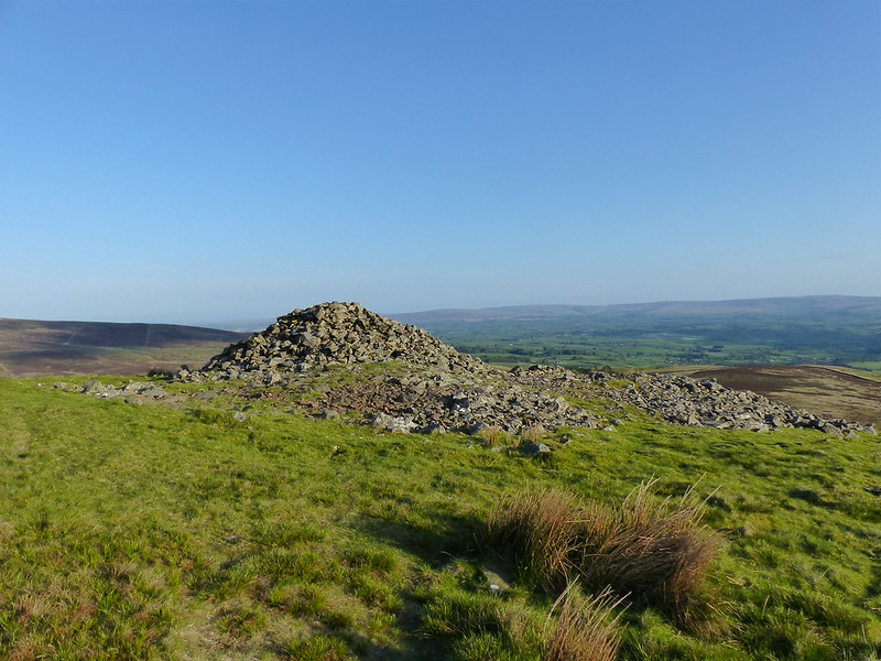
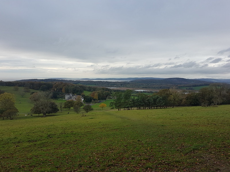
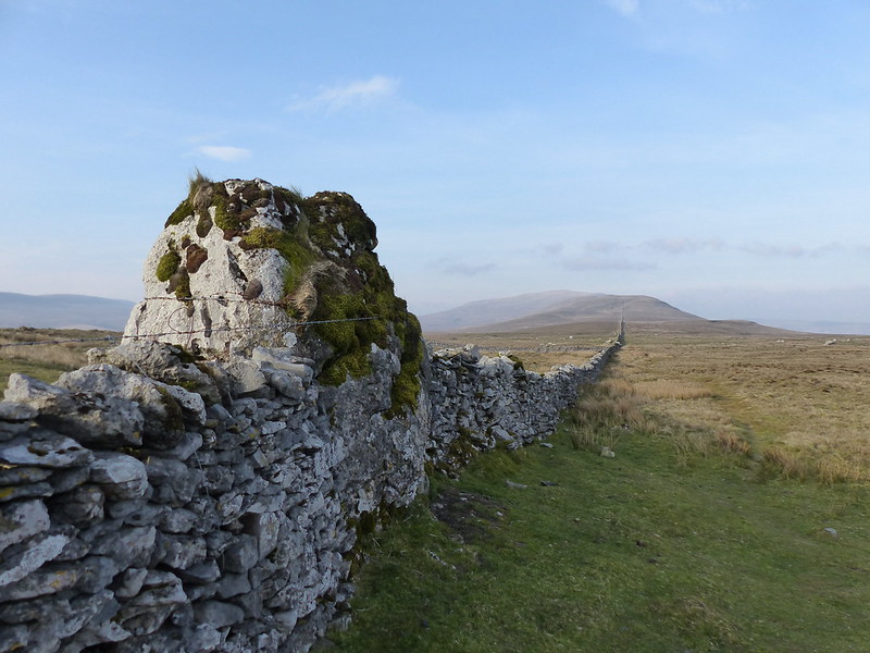
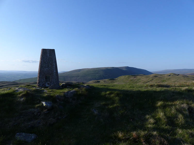
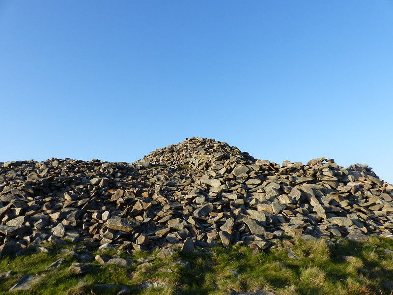
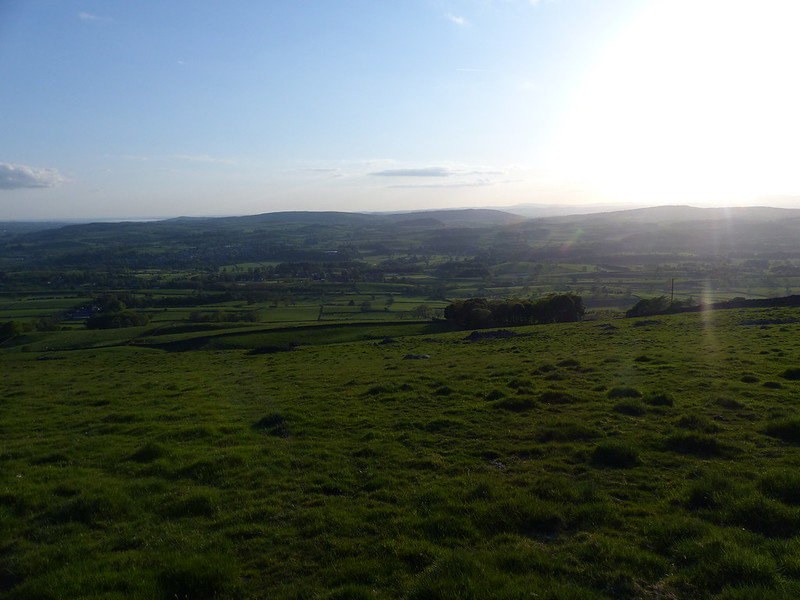
Close to the top of Brownthwaite Pike there’s an absolutely huge cairn. It’s so big that you can see it from Kirkby on the far side of the valley below. I can’t find any reference to it on the Historic England map, but there’s plenty of speculation online about the possibility that it might be ancient and perhaps a burial cairn.
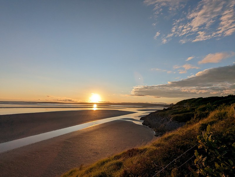
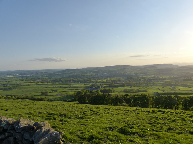
You can see why this spot might have been chosen as it commands clear views over the Lune Valley, the Bowland Fells and Warton Crag , where there was a hill-fort.

I descended by this…

….arrow-straight lane.
Looking towards the hills of home.
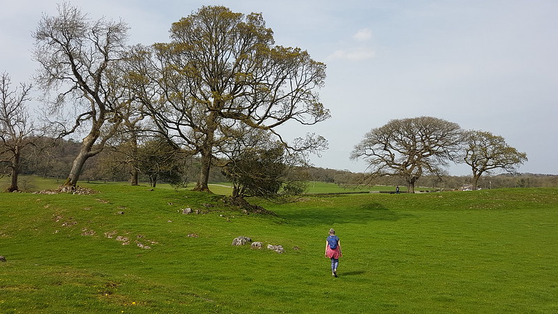
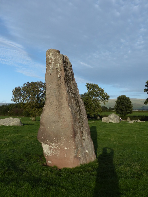
From the lane I could look down on an ancient site which is recorded on the Historic England map…
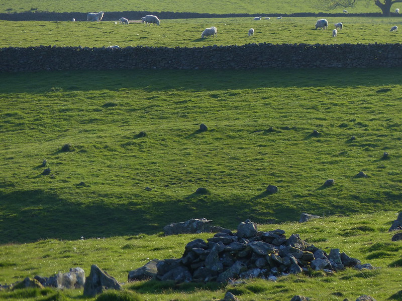
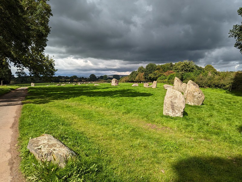
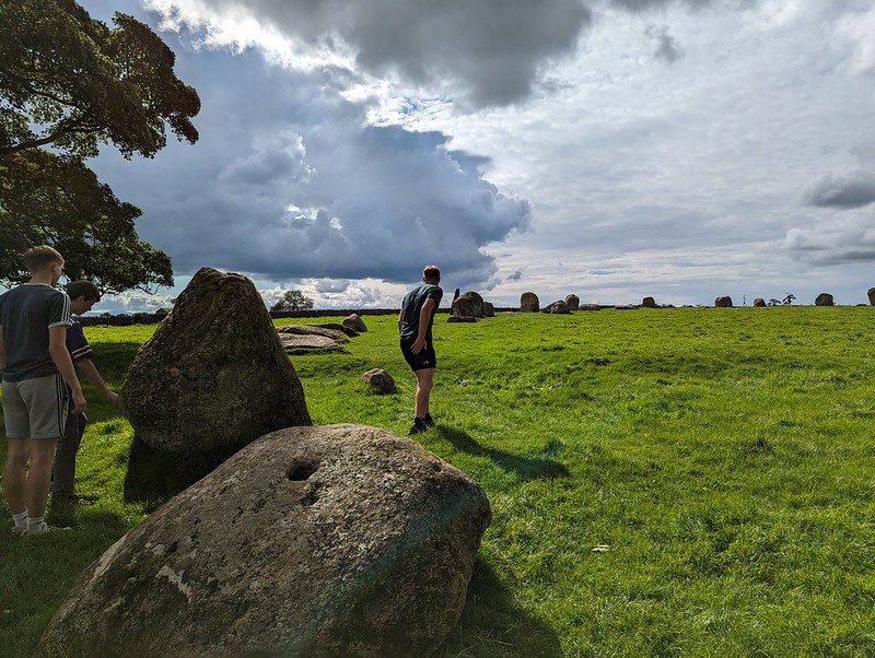
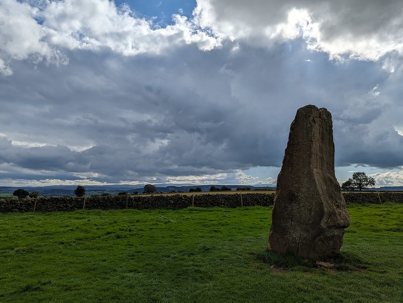
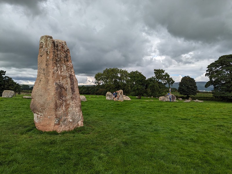
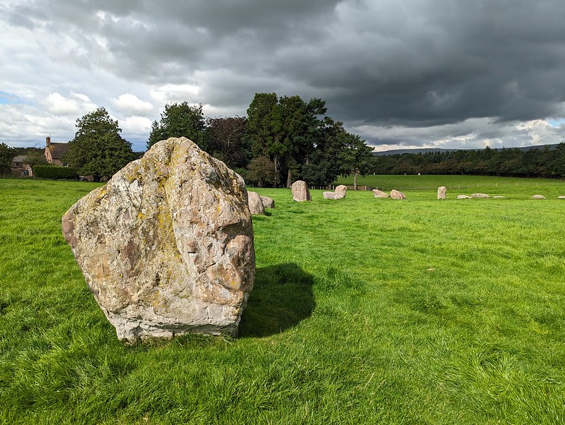
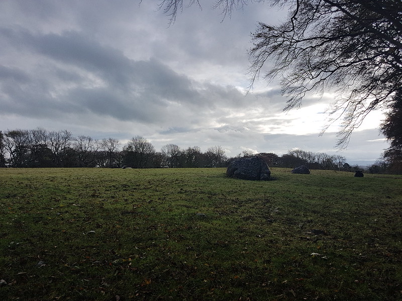
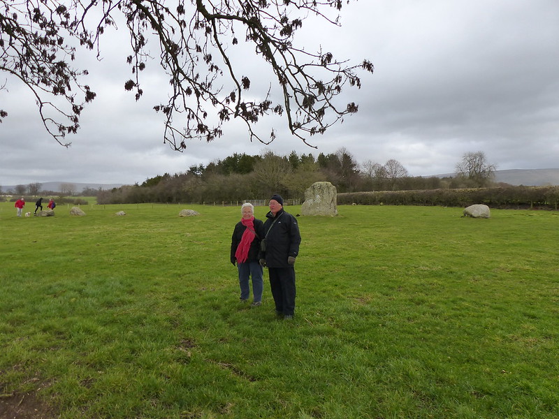
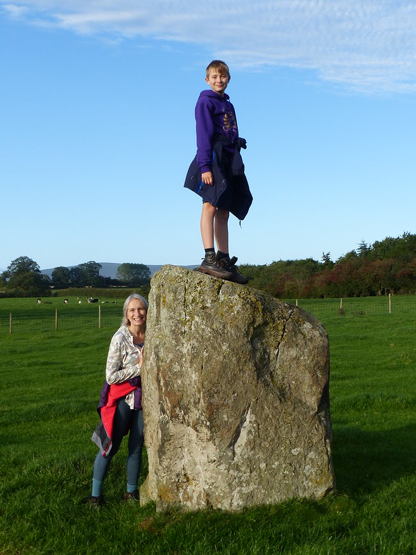
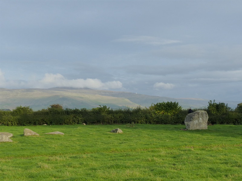
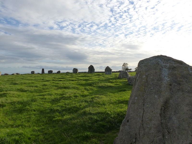
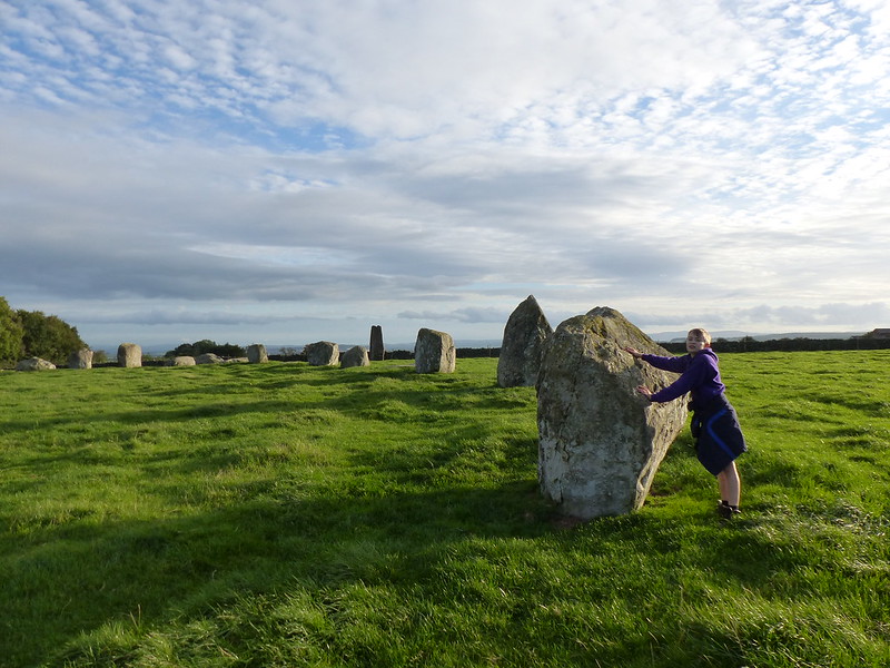
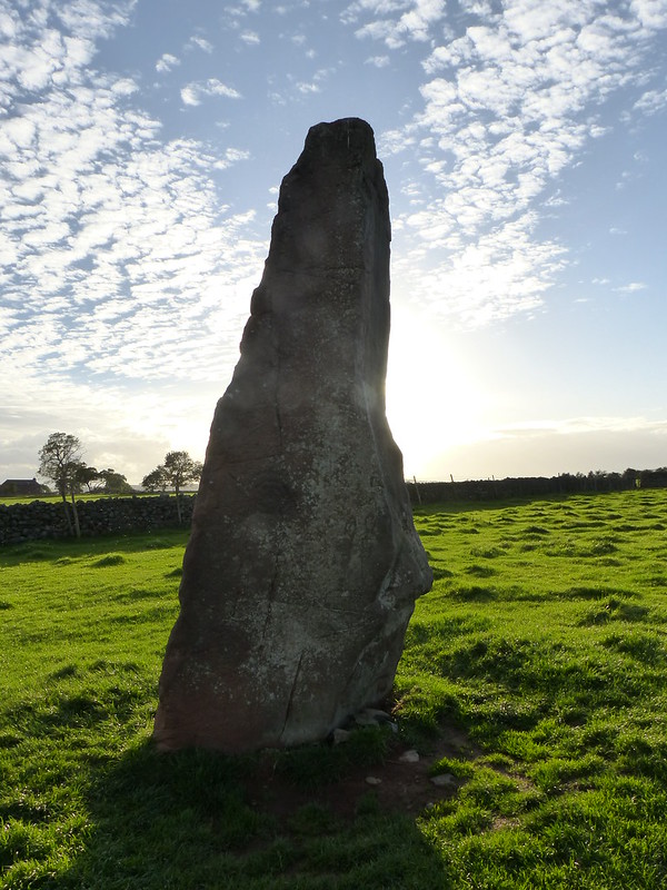
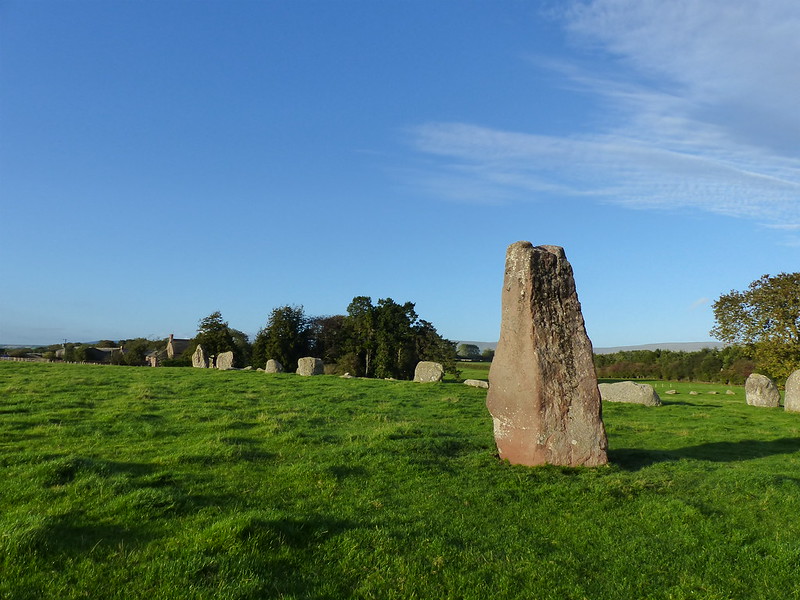
Casterton Stone Circle.

Here’s another view of the henge from a little further down the lane. I’ve read that the stones only protrude slightly above the surrounding turf, but it certainly stands out from a distance.
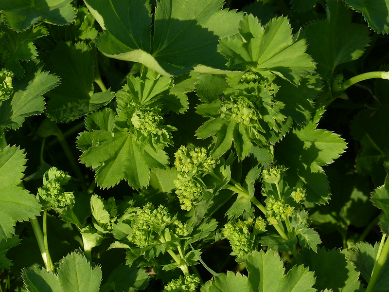
Closer to hand, on the verges of the lane, there was lots of Lady’s Mantle coming into flower…
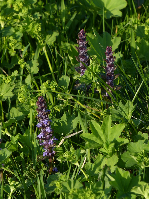
And also many spears of Bugle…
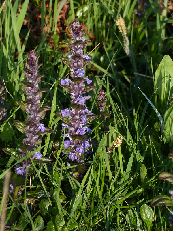
But what I appreciated particularly was the way the two were frequently growing together, intermingled…
There was also a bit of what I think was Sheep’s Sorrel about. This one…
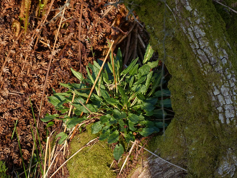
…growing on a tree trunk.

The leaves certainly had the refreshing, citrusy flavour characteristic of both Common and Sheep’s Sorel, and I munched on a few as I walked.
The track brought me to the minor road which lead, ultimately to Bullpot Farm and I turned to follow it in the opposite direction, downhill.
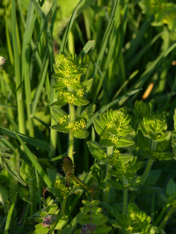
Crosswort.

I think that this must be the wind farm which I photographed last summer from Burns Beck Moss.
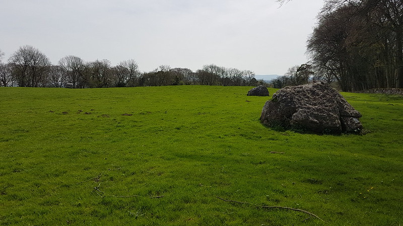
I turned on to Fellfoot Road, another track, and found…
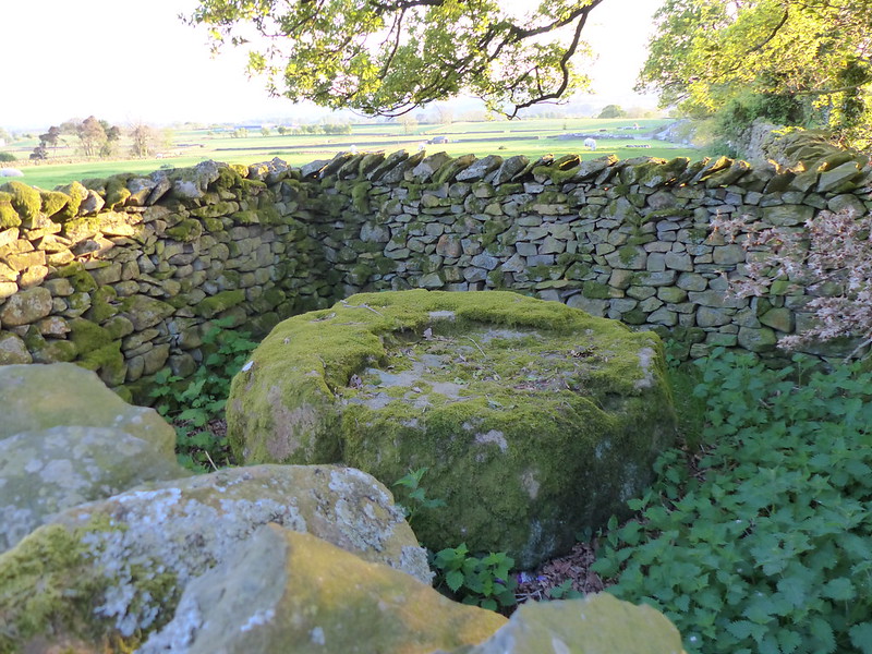
…several small sheepfolds each with a large boulder inside.

They are Andy Goldsworthy sculptures.
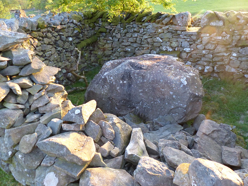
There are sixteen of them in all, but I only passed four of them on this walk.
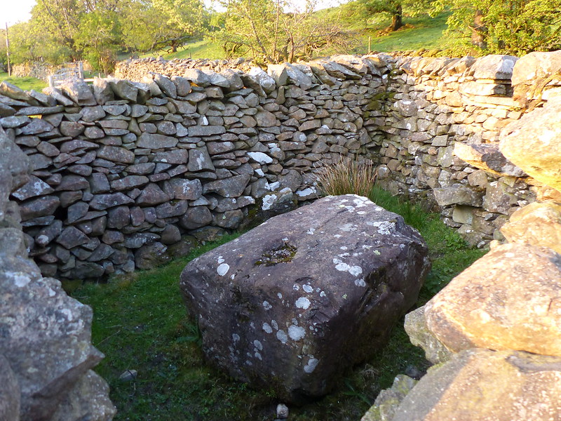
I’m a big fan of Goldsworthy, but don’t know quite what to make of these. I’ve walked past some of them a couple of times before. One day, I suppose I will walk the entire lane and collect the full set.
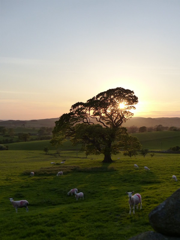
It was getting rather late now.
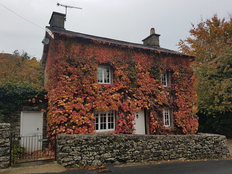
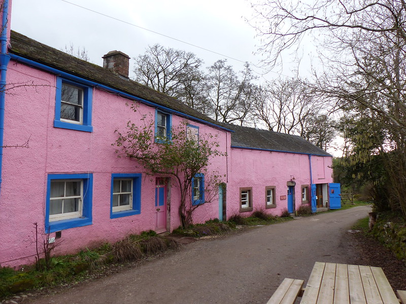
So I was hurrying to get back to my car in Barbon and didn’t stop for long to admire Whelprigg…
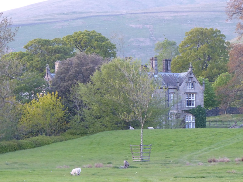
…a rather grand house built, apparently, in 1834.
Another glorious evening outing.