Skiddaw and its Satellites

20220515_052218
Sunrise from Latrigg.

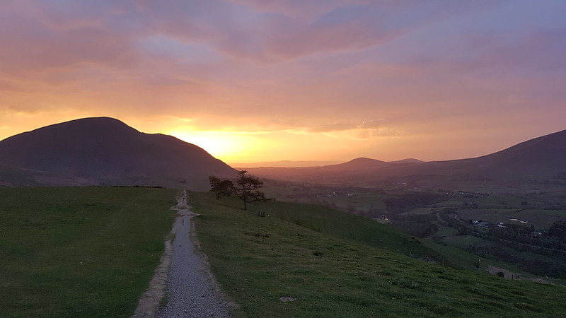
I woke up at around five, with an urgent need to get out out of my bivvy and sleeping bags. Once out, despite the many layers I was wearing, I began to shiver quite violently. I decided that the best thing to do would be to get moving, so hastily packed up.

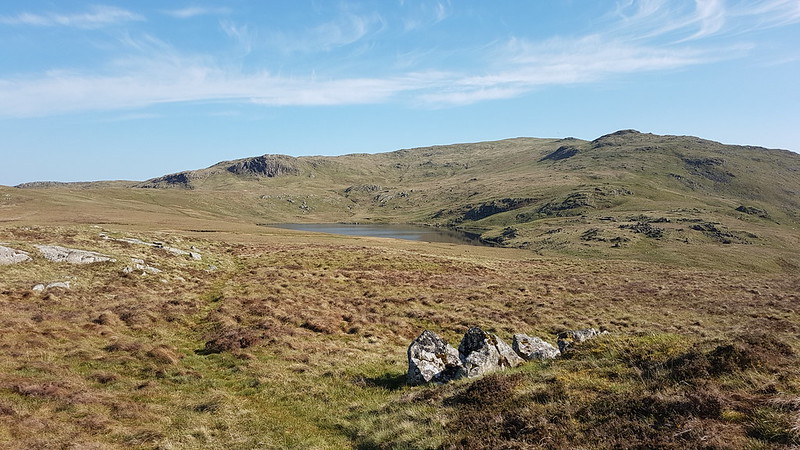
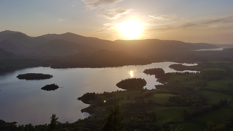
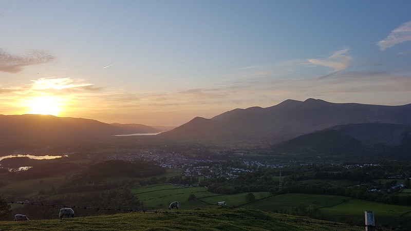
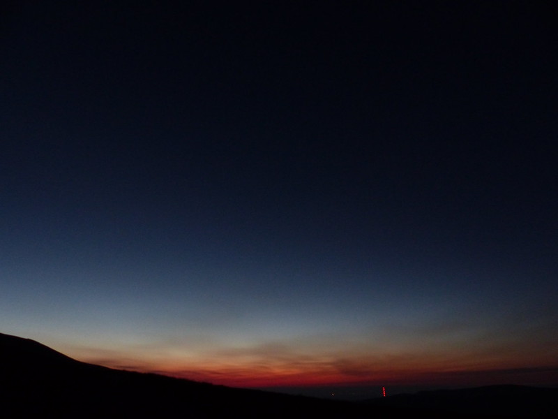
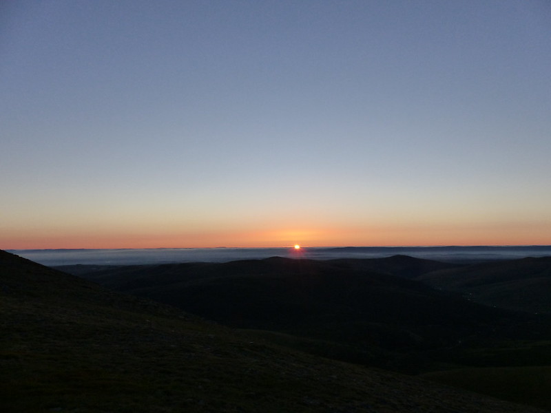
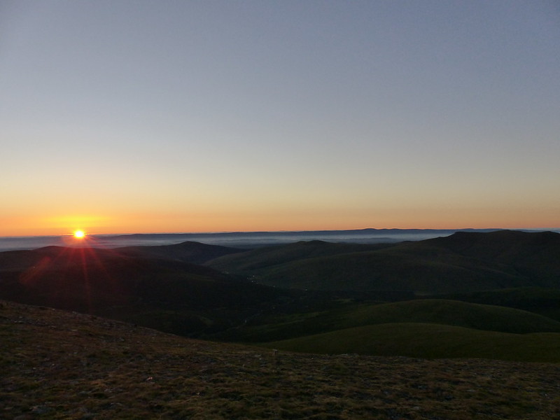
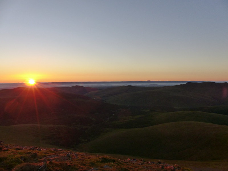
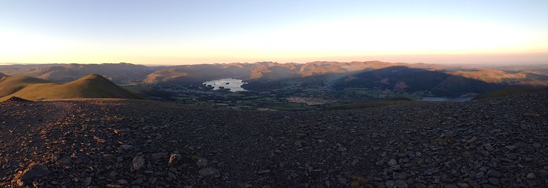
Sleeping on the ground on a hilltop might not lead to a perfect, restful night, but it does have its compensations, chief among them being a hilltop view when the sun rises.

20220515_052550
Keswick and Derwent Water. The sunlight catching Cat Bells.

It was spitting with rain, and still a bit breezy, but I didn’t get far before I was thoroughly warmed-up and needed to stop and rethink my layers. It felt a bit odd to be stripping-down when it was raining on me, albeit only in a very half-hearted fashion.

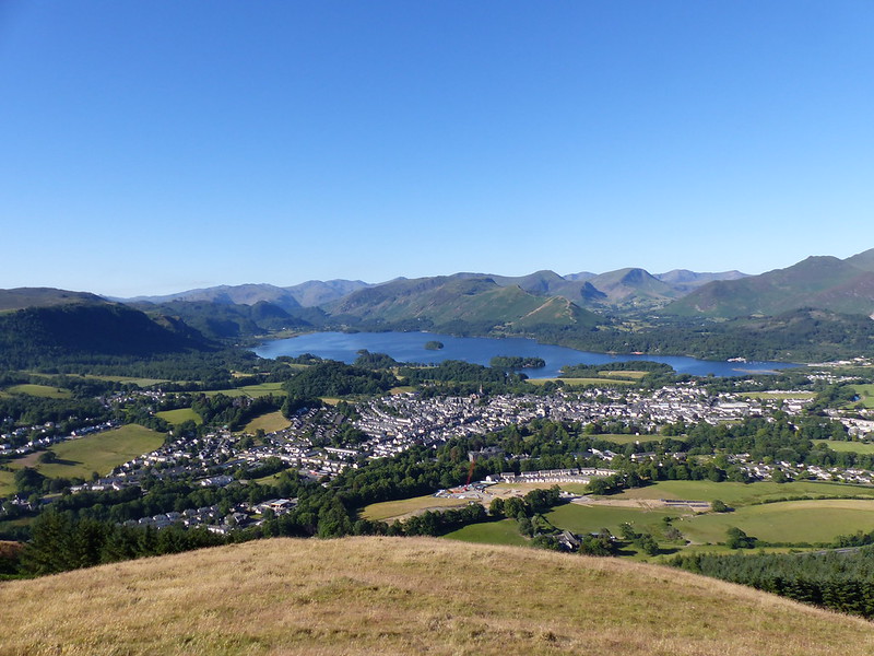
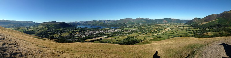
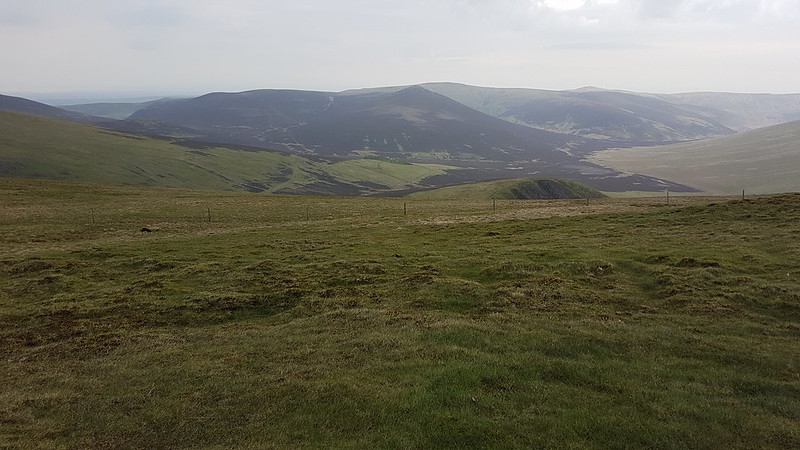
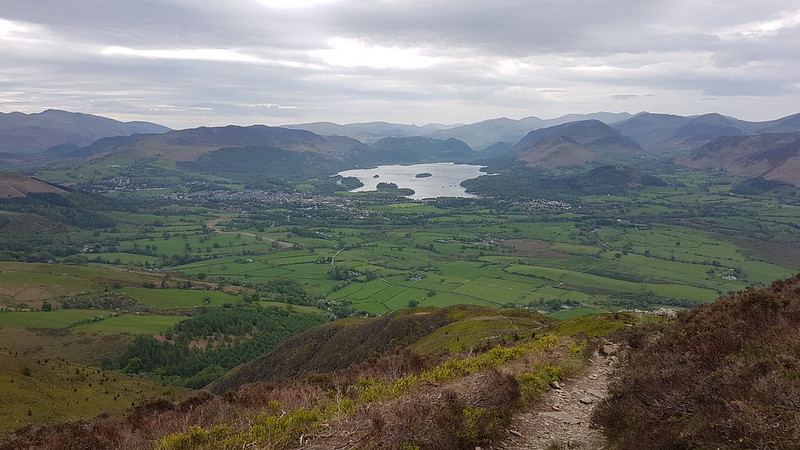
Having already abandoned my ambitious plans to romp home over the Dodds, Helvellyn, Fairfield etc, it seemed logical to continue upwards from Latrigg and climb Skiddaw and its satellites. After all, I could just as well catch the 555 from Keswick as from Grasmere or Ambleside.

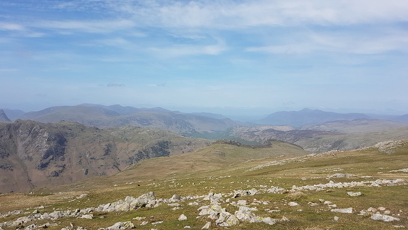
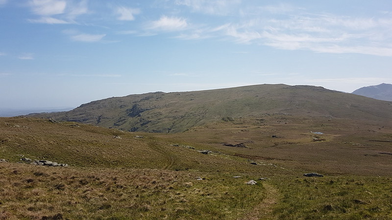
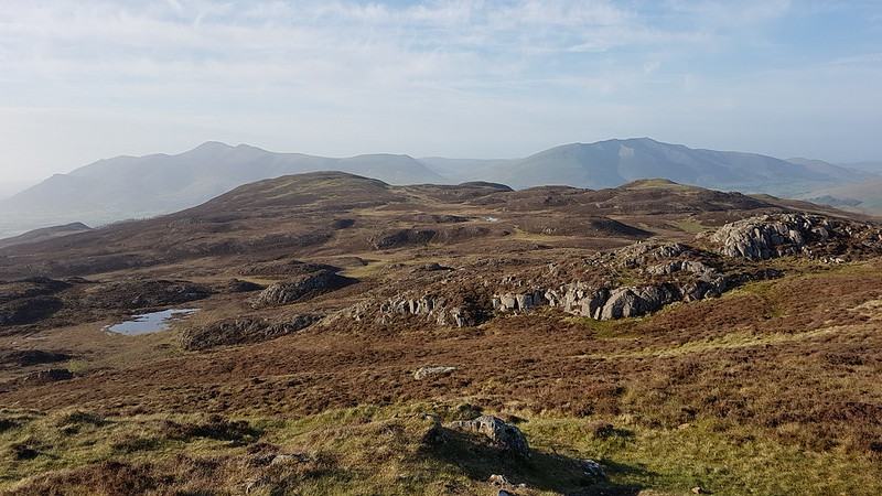
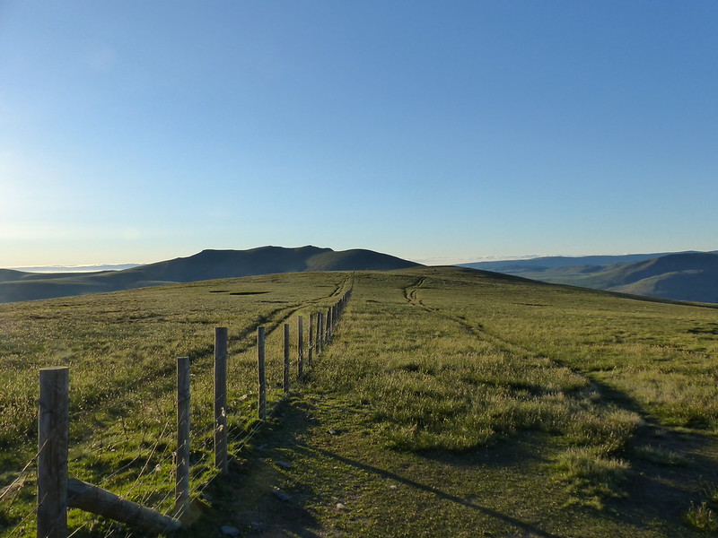
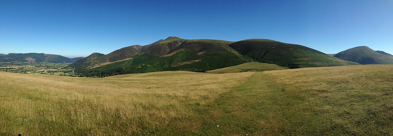
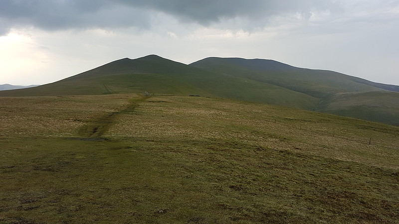
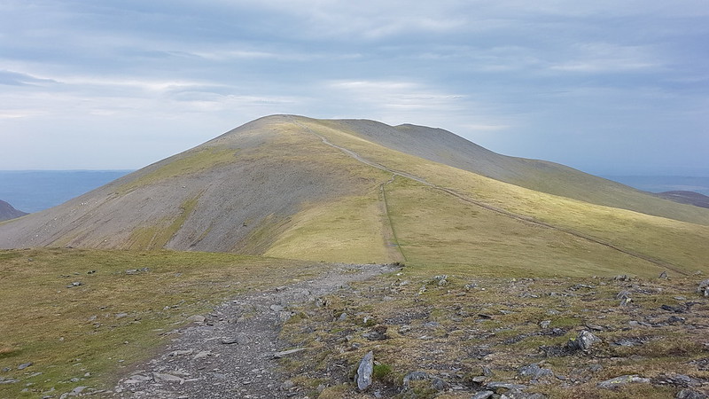
These days, I’m generally happy to be going uphill. I’ve long since rid myself of the illusion that I can climb hills quickly, so I just settle into a steady plod which feels comfortable. On the broad motorway which sweeps up the slopes of Skiddaw, I just couldn’t seem to find that tempo, however many rest stops I threw in. I shouldn’t be at all surprised to discover that Purgatory consists of an endless slope on just such a broad, stony featureless track. Or perhaps I was just tired after the exertions of the day before? I half contemplated turning back, but fortunately, I eventually reached the point where the angle eased and I could strike-off the main path for Lonscale Fell.

20220515_072524
Little Calva, Great Calva and Knott from somewhere in the vicinity of Lonscale Fell.

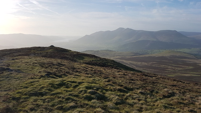
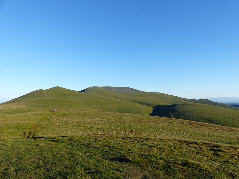
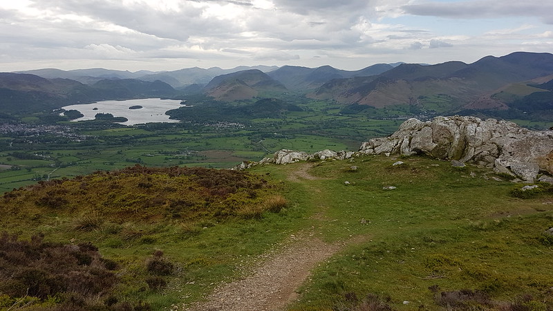
There was still plenty of climbing to do, but the gradient was more conducive, or I’d had a second-wind, or both, or something else; whatever it was, the slow-plod mode was working just fine again. It was still very early, but I had seen a couple of other walkers, both of whom had a ‘steady-plod mode’ which was at least twice the speed of mine.

20220515_072531
The route ahead: Skiddaw Little Man and Skiddaw.
20220515_081245
Derwent Water and surrounding hills from Skiddaw Little Man.
20220515_081257
Blencathra and Lonscale Fell from Skiddaw Little Man.
20220515_082130
Skiddaw from Skiddaw Little Man.

On my unhurried ascent of Skiddaw, I met a guy coming the other way who was wrapped up in winter gear: big down jacket, cagoule, warm hat as well as hoods, many layers etc. It was pretty windy at this point, but his attire seemed completely over the top.

“You’ll be the second person up there today”, he greeted me, with a broad grin.

I didn’t have the heart to tell him about the two people who had overtaken me on my way up, or the couple I’d just seen coming down ahead of him, since he seemed inordinately chuffed with his supposed status as ‘first summiteer of the day’.

20220515_084937
Derwent Water and surrounding hills from the southern end of the Skiddaw summit ridge.

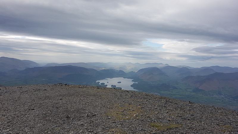
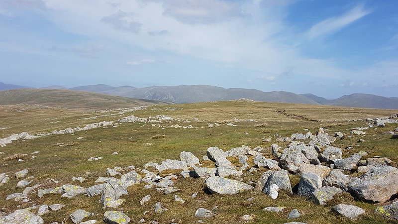
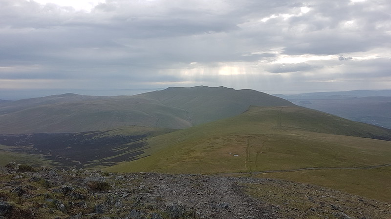
When I reached the long summit ridge it became immediately clear why the down jacket, cagoule etc had been necessary – it was ridiculously windy up there. I was soon fighting with my own cag, trying to get my arm into a wildly flapping second sleeve. I even put my balaclava back on. It was the kind of wind which has you staggering about and leaning onto the wind at a weird angle in an effort to stay upright.

These perhaps weren’t the windiest conditions I’d encountered this year, but they were the most striking, because as soon as I left the top, the wind abated considerably, leaving off just as suddenly as it had started when I reached the ridge.

20220515_085841
Looking out to the Solway Firth. Criffel just about visible.
20220515_090607
Longside Edge and Ullock Pike from Skiddaw and the first bit of sunshine for quite some time.

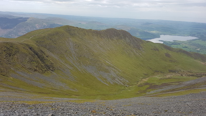
On the way down the very steep and loose path towards Carl Side, I met a couple of ladies going the other way.

“Is it very windy up there?”

This question was presumably prompted by the fact that I was, in my turn, now wearing far too many clothes for the immediate conditions. When I confirmed that it was extremely windy on the ridge, the reply was:

“Yes, always seems to have its own wind.”

I’ve heard this said of Cross Fell in the Pennines, but never of any hill in the Lakes before.

20220515_093303
Longside Edge and Ullock Pike again.
20220515_094939
A Violet Ground Beetle, probably Carabus problematicus.

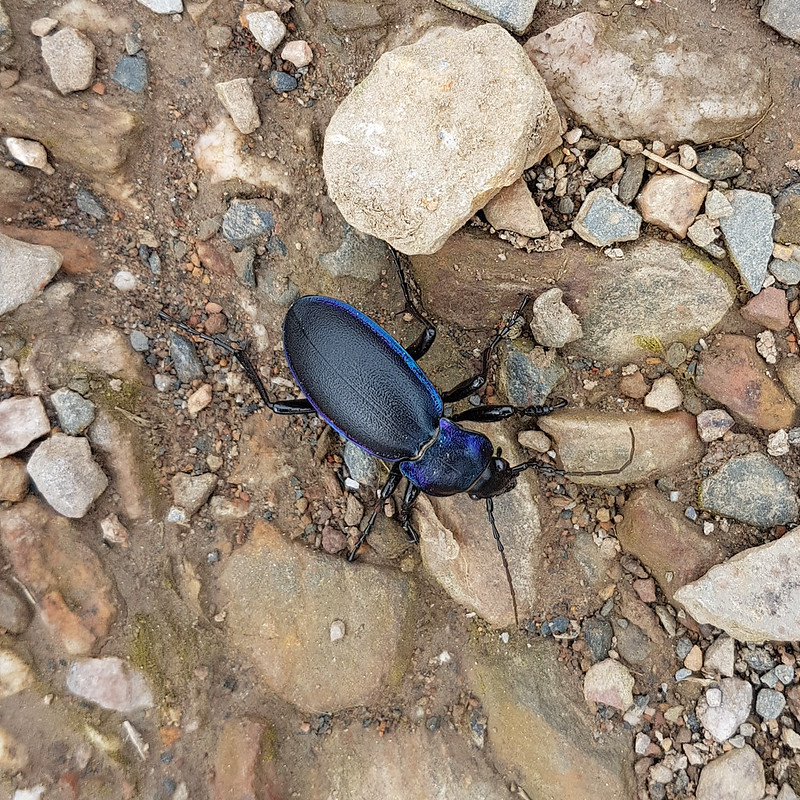
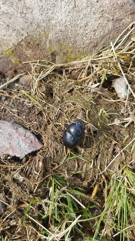
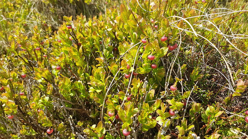
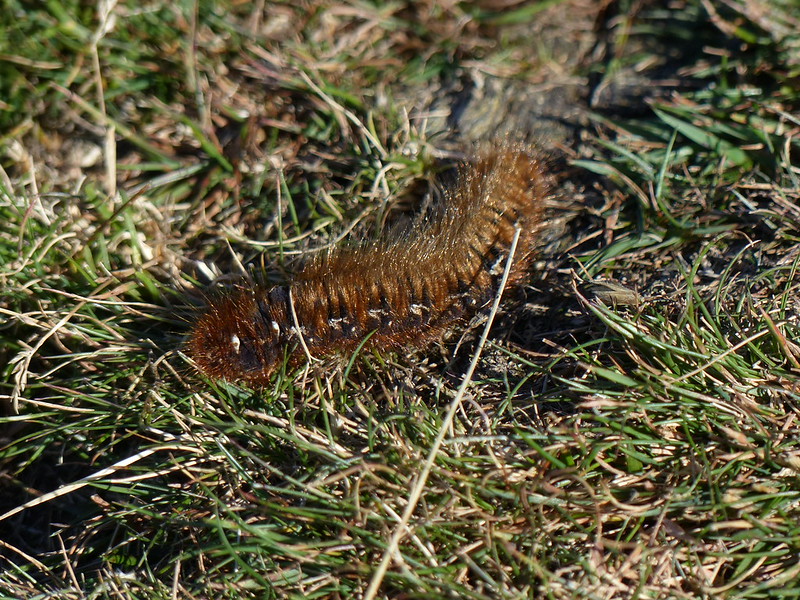
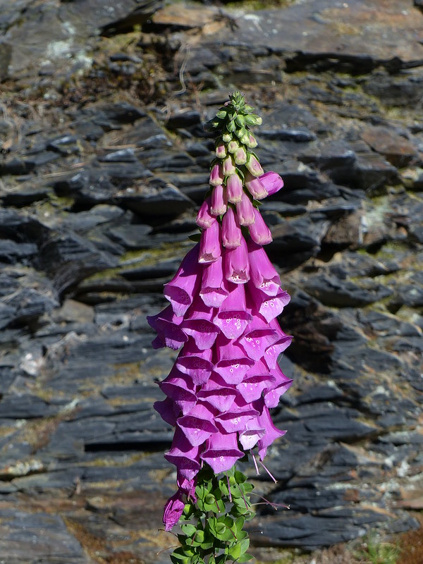
The ability of my phone camera to take close-ups seems to have improved enormously. Updates to the software I suppose?

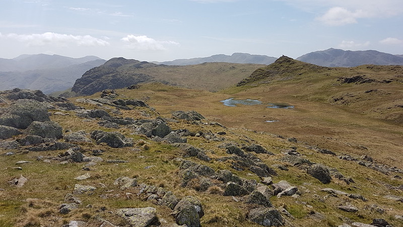
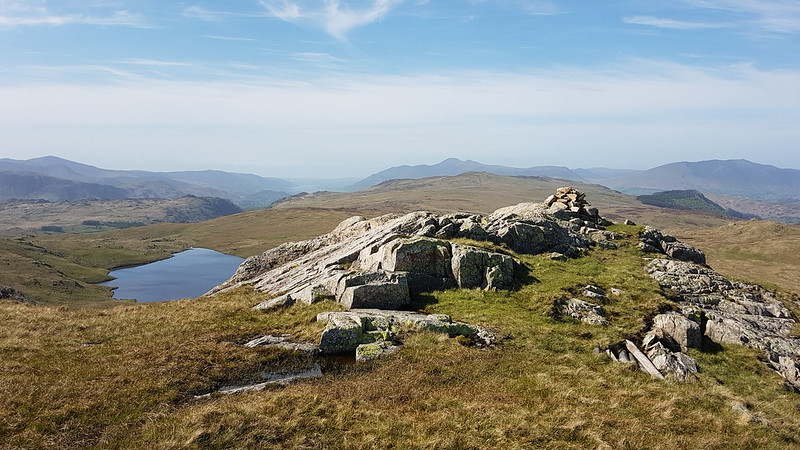
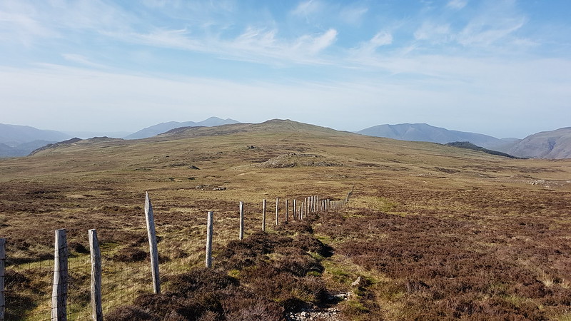
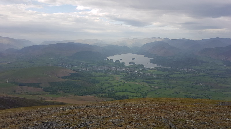
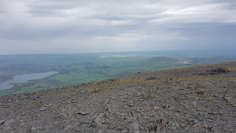
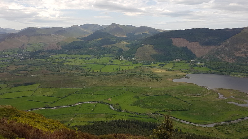
From Carl Side I took the path heading down to the south, heading for Dodd.

20220515_101752
Derwent Water and the surrounding hills from the long path down.
20220515_103449
And again from White Stones, which were very white. I thought Maiden Moor looked quite striking from this direction, with its very steep sides.
20220515_112024
Derwent Water again, from Dodd.
20220515_112133
Bassenthwaite Lake from Dodd.
20220515_112149
The North-Western Fells from Dodd.

It’s now that I have to confess to a bit of utter muppetry. On my way up Dodd, I’d seen no sign of the right-of-way I needed which follows Scalebeck Gill and which I ought to have passed. So when I saw a footpath sign saying something like ‘Dodd Route’, I optimistically followed it. I think I was attracted by its very easy gradient: it descended very gently, or contoured around the western slopes of Dodd. I hoped that it was a very lengthy zig and that eventually there would be an equally long zag taking me back in the direction I needed. When I finally had to admit that this wasn’t going to happen, I felt like I’d come too far to turn back. Unfortunately, the path, good though it was, was heading for the car park to the north-west of Dodd, in completely the wrong direction for Keswick.

20220515_134256

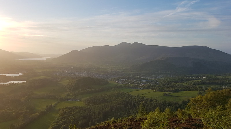
It was a long walk on the permission path beside the main road, then through Dancing Gate (what a terrific name for a hamlet!), Millbeck, Applethwaite and Thrushwood back to Skiddaw. In complete contrast to earlier it was hot. I was very conscious of the fact that I was already a bit sunburned from the previous day, and so stuck to the shade wherever I could.

20220515_135537
Skiddaw, Skiddaw Little Man, Jenkin Hill.
20220515_135542
Latrigg.

When I arrived in Keswick, it was early afternoon, but I’d just missed a bus, so, with an hour to kill, I stocked up on refreshments and waited in the sun. I didn’t get the seats at the front on the top deck – I couldn’t compete with the sharpened elbows of the bus-pass brigade. I shall be happy to join their ranks in the not too distant future, if using the buses yields trips like this one.

Some stats: MapMyWalk gives 14 miles and just a little over 3000′ of ascent.

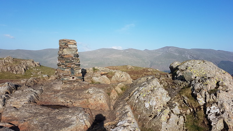
Wainwrights ticked-off: Lonscale Fell, Skiddaw Little Man, Skiddaw, Carl Side and Dodd. Can I count Latrigg again?

Skiddaw and its Satellites

Highest Point – Grasmere to Keswick

20220514_101943
Easedale.

After all that waffle, in my last post, about my aspirational hare-brained schemes, here’s the evidence of what happens when one of them comes to fruition. Or not.

I’d been planning this one for a while. When I say planning, I mean that in the vaguest of ways. ‘Thinking about’ would be more accurate. Attention to detail was completely lacking.

20220514_103950
Sourmilk Gill.

My family had all bought tickets for Highest Point, an outdoor music festival in Lancaster, not to be confused with Lancaster Jazz Festival, or with The Lancaster Music Festival which is mostly staged in pubs. Why wasn’t I joining them? Well, I was tempted by Kaiser Chiefs and even more so by Basement Jaxx, but the latter were playing a DJ set, and frankly, whatever the attractions, they couldn’t compete with the prospect of a weekend of early summer walking.

20220514_113401
Tarn Crag

So, TBH very kindly dropped me off in Milnthorpe, with about 30 seconds to spare, and I caught the 555 bus through Kendal and Windermere to Grasmere.

I must use the bus more often. It’s a bit slow. And we did sit in Kendal Bus Station for quite some time, for no apparent reason. But I enjoyed being a passenger, and taking in the views, especially after the front seats at the top became available in Kendal, and not having to worry about parking.

20220514_113526
Easedale Tarn.

Anyway, when I finally arrived in Grasmere, it was bright and sunny and warm for once, much more so than the photos suggest. I popped into Lucia’s for some extra provisions (highly recommended) and then set-off up Easedale in the company of two gentlemen from the North-East, one of whom was very keen to ask for directions (“Is that Helm Crag?”) and tell me about his route, their accommodation in Keswick and so on. The other gent was as taciturn as his companion was garrulous, which made me feel like I was intruding.

Over the years, I’ve looked at maps of the Lakes (particularly my colourful old inch-map, which has a lot to answer for) and thought that I ought to walk along the broad central spine of hills from the Langdale Pikes northwards. I’ve also often thought that it would be brilliant to walk the long ridge from Threkeld to Ambleside over the Dodds and Helvellyn and Fairfield etc. So, here was my madcap scheme – to (sort-of) combine those two, with a bivvy in between, probably on High Rigg I thought.

20220514_115437
Dor Beetle.

Since I was using the 555, a start in Grasmere would be easier than trying to get to Langdale, and it would also make it convenient to include Tarn Crag.

It was a really glorious day and on Tarn Crag I sat for quite some time, enjoying the pasty I’d bought in Grasmere and video-calling my mum and dad, to share the views with them.

20220514_120214
Tarn Crag.
20220514_120220
From Tarn Crag Helm Crag, Heron Pike and Nab Scar, Loughrigg and Silver How.

Since I’d already climbed High Raise earlier in the year, I contemplated trying to contour around from Tarn Crag to Greenup Edge, hopefully visiting a remote little tarn on route, but in the end I couldn’t resist the temptation to climb High Raise again.

20220514_122350
High Raise from Tarn Crag. Codale Head is the prominent pimple in the centre.
20220514_124306
Codale Tarn.
20220514_125511
Bilberries in flower.
20220514_132846
Pavey Ark, Harrison Stickle and Sergeant Man.

I had another stop on Codale Head, and sat for while.

20220514_135522
Newlands Fells, North-western Fells and Skiddaw.

And then another bit of a sit on High Raise. The views from High Raise are expansive. On this occasion I was sharing those views with quite a few people, most of whom seemed to be participating in some sort of organised challenge walk, with people in teams; I wondered whether it was a corporate bonding exercise, based on some of the conversations I overheard.

20220514_135530
Bowfell, Esk Pike, Scafell Pike, Great End, Great Gable across Langstrath.

Not to worry, they were all heading down to Grasmere from Greenup Edge, having started, I gathered, in Langdale. In fact, the remainder of the day was very, very quiet, at least until I reached Keswick.

20220514_135534
Ullscarf, with the Helvellyn etc ridge behind.
20220514_150053
Looking back to High Raise.
20220514_152252
Helvellyn and Fairfield from near the top of Ullscarf.

It took a while to reach the top of Ullscarf, so another rest and a sit-down seemed appropriate. I have a bit of a soft spot for Ullscarf. Years ago I bivvied a couple of times with friends on the slopes above Harrop Tarn and would then climb Ullscarf via its eastern hinterland early the following morning, often in thick mist. In the days before sat-nav, I was chuffed when I actually managed to arrive on the summit. Those empty slopes above Thirlmere always seemed to be a good place to spot Red Deer.

I finished the last of my water on Ullscarf and then dropped into the top of Ullscarf Gill to refill my water bottle.

20220514_152313
From Ullscarf: High Tove, Raven Crag, Skiddaw and Blencathra beyond.
20220514_161944
The cairn on Standing Crag. Last time I was here there was a fence.

Standing Crag is a Birkett, but not a Wainwright. It’s well worth a visit in my opinion. I didn’t stop for a sit here. It was well into the afternoon, and it was becoming clear that I’d probably bitten off more than I could chew.

20220514_162055
Blea Tarn and High Tove. I think the lump beyond the tarn must be Grange Fell, which I don’t think I’ve ever been up.
20220514_170902
Looking back to Blea Tarn and Ullscarf.
20220514_171549
Shivery Knott, Shivery Man, Middle Crag, High Tove.
It doesn’t look all that boggy does it? Compared to some of the treacherous mires lurking in wait to swallow unsuspecting walkers in the Pennines, for example, it was a walk in the park. If the park is mostly about 6 inches under water, with occasional deeper sections for added fun.

I can’t say I was overly fond of this section. I’d originally thought I would do an out and back to tick-off Armboth Fell, but with time marching on, decided to leave that particular delight to another day. When hell freezes over. Or the bogs on Armboth Fell freeze over, at the very least. It will give me an excuse to climb Fisher Crag. That’s what I’m telling myself anyway.

I think I was thoroughly underwhelmed by High Tove. I don’t seem to have taken any photos anyway.

When I arrived at some flagged sections of path I was mightily relieved.
20220514_180618
High Seat.

It seems that a consortium of charities have been restoring the peat bogs here. As well as flagging the paths (sadly with some very soggy gaps between the flagged sections) they’ve also created little dams to create some really wet areas…

20220514_181607

It was lovely, in a very wet kind of way.

20220514_182051
20220514_184254
The trig pillar on High Seat.
20220514_184310
Bleaberry Fell from High Seat. Skiddaw and Blencathra beyond.

If I hoped that reaching the rocky top of High Seat would spell an end to the bog, I was destined to be disappointed. But it was drier, at least. And after Bleaberry Fell, the bog-snorkelling comes to an end.

20220514_192616
Skiddaw, Keswick and Bassenthwaite Lake from Bleaberry Fell.
20220514_202314
Bleaberry Fell from Walla Crag.
20220514_202320
Derwent Water and the surrounding hills from Walla Crag.
20220514_202336
Keswick and Skiddaw from Walla Crag
20220514_203524
Derwent Water and Bassenthwaite Lake from Walla Crag.

I had a long overdue rest on Walla Crag. I must have looked all-in, as a bloke who walked past asked me if I was okay. Which I was, of course. The light was lovely.

I did briefly contemplate a bivvy on (or near) Walla Crag, but I’d been promising myself a take-away tea in Keswick all day and the draw of a greasy, high-calorie meal won out.

20220514_205003
Keswick and Skiddaw and the setting sun from my descent route.

It was still light, just about, as I arrived on the outskirts of town, but it was also almost 10 o’clock, and I was striding out whilst using Google Maps in an attempt to work out where the nearest open shop was. Fortunately, I found a little grocery store which was still serving and stocked up on water and ginger beer. It had been thirsty work!

One of the pubs near the Moot Hall had a live band who were playing an excellent selection of covers. (Heart of Glass, Take Me Out, Maggie May, for example, if memory serves me right.) It was very loud out in the street, lord knows what it was like inside the pub. The town centre was extremely busy with revellers, I suppose I probably stuck-out like a sore-thumb. Or a sun-burned, muddy, sweaty, but very happy hill-walker. Anyway, I found a bench where I could listen to the band and tucked into my well-earned donner and chips. So I got my live music in the end, on top of a day’s walking.

I’d already decided by now that High Rigg (where I envisaged a soft heather bed and a very comfortable night) was much too far away. I was also having doubts about my proposed return route – it would be both longer and with more up and down than the walk I had just done. Too much, I thought.

I opted instead for a midnight ramble on Latrigg.

20220514_235229

It was dark, but the moon was bright and it’s a wide, well-made path, so I didn’t really need my headtorch. After a warm day, there was now a cooling breeze. Actually, it was pretty windy and quite cool.

I found what seemed like a reasonable spot, overlooking the town, put on every item of clothing I’d brought, including a balaclava, and climbed into my sleeping and bivvy bags.

How did I sleep? Well, better than I’d expected, which is to say – some. The ground was a bit hard, without a cushioning of heather. Also, at some point during the night, the wind changed direction and I woke up to find that it was blowing over my shoulders and directly into my sleeping bag. I’m usually reluctant to completely seal my bag over my head, it’s a bit claustrophobic I find, but I did that now and then slept much more soundly.

20220515_000515
Keswick and Derwent Water from Latrigg.

The app gives just over 20 miles all told, and almost 1300m of climbing (which is a bit of an underestimate I think, but maybe not too far out).

Wainwrights: Tarn Crag, High Raise, Ullscarf, High Tove, High Seat, Bleaberry Fell, Walla Crag, Latrigg.

Birketts: all of the above, plus Codale Head, Low White Stones, Standing Crag, Watendlath Fell, Shivery Knott, Middle Crag (I narrowly bypassed Blea Tarn Fell, but, fortunately, I’ve been up there before).

I’m grateful to Mr Birkett for all of those extra ticks: fourteen tops feels like a better return on the effort than eight. Some of them are a bit underwhelming however, but if you like walking in the Lakes (and why wouldn’t you?) I would recommend checking out Codale Head and Standing Crag, I think they should be in everybody’s lists.

And my new plan for the morrow?

You’ll have to wait!

(A short playlist for this post: ‘Higher Ground’ Stevie Wonder, ‘Gotta Keep Walking’ Willy Mason, ‘May You Never’ John Martyn.)

Highest Point – Grasmere to Keswick

Skiddaw Bivvy

P1190916

Keswick and Derwentwater – it was quite a bit darker than this photo suggests.

Friday evening. S has a class on the climbing wall in the Sports Centre at Lancaster University. It had been a busy week: S had been the Artful Dodger in his school’s production of Oliver (which was brilliant, although I may be a little biased). I’d also had a late evening at work, so hadn’t managed my usual evening walk(s). What’s-more, the nights had been hot and sticky, at least by local standards, and I’d been finding it hard to sleep. Driving home with S I had an inspiration – a way to get out for a walk and get a cooler night. Back at home I hurriedly grabbed something to eat, threw some things into my rucksack and set-off for Keswick.

I parked in the high car-park behind Latrigg, which was quite full. There were several occupied campervans which I guessed were staying the night, but numerous cars also. A couple approached me and asked about potential wild-camping spots. They’d ended up here by default after having problems with closed roads. It occurred to me afterwards that they may have been heading for the end of Haweswater, because when we were there a few weeks ago, somebody had been larking about with road-closed signs and diversion signs even though there was actually little or no work going on. Anyway, I wasn’t much use to them; I haven’t camped in this part of the Lakes before and haven’t climbed Skiddaw in an absolute age. They decided to try Latrigg, but soon overtook me on the broad path up Skiddaw, looking for a spot on Jenkin Hill, where I saw them again with their tent just about pitched.

P1190917

The moon rising over the Dodds.

It was already after sunset when I started my walk and I was surprised by the freshness of the breeze, so much so that I hastily stuffed an extra jumper into my bag which I happened to have in the boot of the car. TBH and I had noticed that the moon was full when we went out for a short stroll after Little S’s theatric triumph, so I was anticipating a light night and that’s how it turned out – I only used my headtorch close to the top of Skiddaw when the ground was rocky and I wanted to avoid a trip.

P1190922

I arrived on the top at around half twelve. Even then the sky to the north still held a good deal of light. There were a few people about – I suppose that this is a traditional weekend for fell-runners completing the Bob Graham Round.

I was after something much more modest – a place to kip-down for a few hours. I’d remembered that the highest parts of Skiddaw are very rocky – like a slag heap, one friend has subsequently described it – but felt confident that I would find somewhere. Ironically, given my enthusiasm for wild-flowers, it was the sight of tiny white stars of the flowers of a bedstraw – there are many species – which stood out in the darkness and led me to a spot with at least a thin covering of soil. It’s wasn’t a spot I could recommend – sloping, uneven, hard, stony and not entirely out of the, by now, pretty fierce wind, but, somewhat to my surprise, I not only slept, but slept quite well. It was cold though – I discovered that when needs must I can get right down inside my sleeping bag and close it over my head. Between my sleeping bag, the thin pertex bivvy bag I have and the extra jumper I’d brought I just about stayed on the right side of comfortable.

I woke at around three, momentarily panicking a little because it was so light that I was worried that I’d missed the sunrise, despite the fact that I’d set an alarm for 4.20am, precisely to avoid that eventuality. I should have taken a photograph at three – the colours in the northern sky were superb, but I’m afraid my head was soon down again for a little more shut-eye.

P1190925

In the event, I didn’t need the alarm: two groups of people walked past my little hollow about 10 minutes before it was due to go off, timing their arrival on the top just about perfectly for the sunrise.

P1190927

It’s a while since I’ve watched a sunrise from a mountain. Perhaps I won’t wait so long this time to repeat the experience.

P1190929

There was evidently a layer of cloud hanging low over the Solway Firth to the north and the Eden Valley to the east and odd wisps of mist closer to hand.

P1190928

Bassenthwaite Lake.

P1190931

An early party on the summit.

P1190949

Derwentwater and the surrounding hills.

image

Derwentwater and the Fells pano.

For reasons which now escape me, I climbed Skiddaw Little Man in the dark on the Friday night, but I’d stuck to the main path which omits the top of Jenkin Hill, and avoids Lonscale Fell and Lonscale Pike altogether, so on my way back to the car I diverted slightly to take them all in.

P1190954

Jenkin Hill, Lonscale Fell and Blencathra behind.

P1190955

Looking back to Skiddaw Little Man and Skiddaw. 

image

Derwentwater and the Fells from Jenkin Hill.

From Lonscale Pike, I found a slight path, which followed the wall down close to the edge of Lonscale Crags. Part way down, I realised that the weather had already warmed up considerably and decided to sit down to admire the view with a bit of porridge and a cup of tea.

Nearby, I spotted this large caterpillar…

P1190967

…which I think is of the Hairy Oak Eggar Moth. B and I saw some similar caterpillars on Haystacks two summers ago.

P1190977

Foxglove.

As I got close to the car park again, and was down amongst the bracken covered hillsides, there were numerous moths and some Small Heath butterflies and a host of small birds about. Sadly none of my photos turned out very well.

Back at the car, I dumped my rucksack and set-out to tick-off Latrigg, it being so close by and the weather so favourable. Incidentally, the car park was already full, at 9 in the morning, breaking the usually reliable rule that car-parks in the Lakes are almost empty before 10, I presume because people were seeking an early start to escape the heat of the day. There’s a direct path to the top, not shown on OS maps, but also a more circuitous one, which I chose, partly because I wasn’t in a hurry and partly because I thought it would give better views.

Latrigg was busy with walkers, runners and Skylarks.

P1190983

I watched this Skylark in flight and then, after it had landed on a small mound, walked slowly toward it, taking photos as I approached.

P1190984

P1190985

This Skylark…

P1190991

…didn’t require the same effort. It landed quite close to the path and then flew just a short distance further on, before having a ‘dust bath’ on the path. Although it was much closer than the first bird, it wouldn’t pose and look at the camera in such an obliging way.

P1190998

Keswick from Latrigg.

image

Keswick from Latrigg pano.

image

Skiddaw massif from Latrigg.

Highly enjoyable, although it did leave me a bit wiped out for the rest of the weekend. Hopefully, I’ll try another summit bivvy, if the opportunity arises – without a tent I can manage with my small rucksack, which wasn’t too heavy, aside from the two litres of water I was carrying.

Skiddaw Bivvy