Proper Fell walks have been few and far between for me, since the various lockdown restrictions began. This walk, from back in September, was a notable exception. To be honest, I don’t remember what the rules were at the time, and I was probably a bit vague about them even then, since the rules have always lacked clarity. I didn’t see any other walkers all day, just two mountain bikers in the afternoon, which makes me think that I must, at the very least, have been pushing the envelope a bit.
Anyway, it was a windy, overcast day. Cool with a few flecks of rain in the wind from time to time. But despite that, I enjoyed myself enormously.

I’d been perusing the map for quite some time the night before, always a dangerous occupation, and had hit upon the idea of combining two cherished ambitions – one was too explore the valley of Artle Beck and the other to have a walk along Hornby Road, a Roman Road which traverses the Bowland Hills

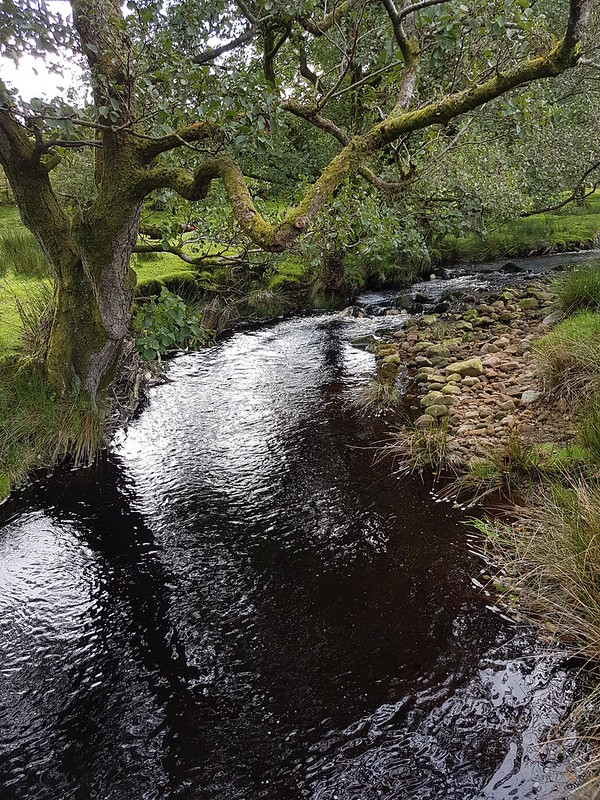
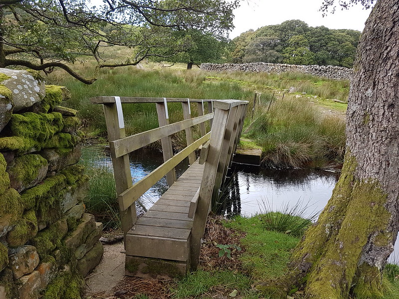
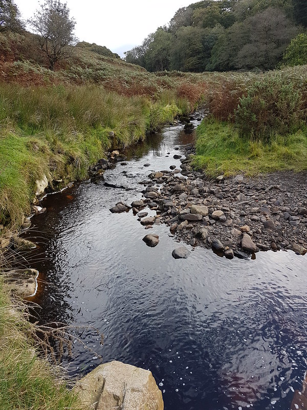
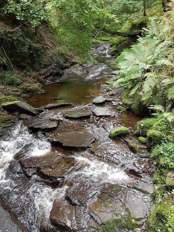
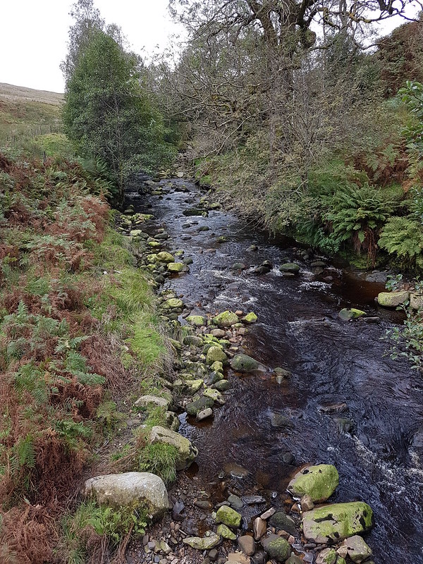
The first part of the walk took me firmly into the territory of my ‘Lune Catchment’ project. Sweet Beck, Udale Beck, Foxdale Beck, Artle Beck, Ragill Beck, Closegill Beck (streams tautologically named both gill and beck seem to be a speciality of the area), Bladder Stone Beck, Mallow Gill, the River Roeburn and Salter Clough Beck (again – aren’t clough and beck synonyms?) were all ticked off on my nominal list of tributaries of the River Lune.
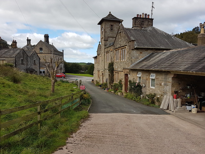
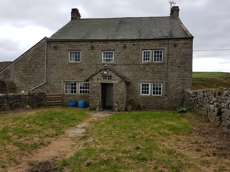
I was quite surprised by Littledale Hall. It’s a Grade II listed building, dating to 1849 and possibly designed by Lancaster architects Paley and Austin. These days, it’s a residential centre for the treatment of addiction. I guess that it’s remote location makes it ideal for that purpose. It looked to me like a Victorian railway station marooned without a railway line.
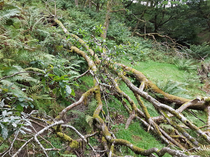
A fallen tree in Melling Wood, on a slope much steeper than the photo suggests, was quite awkward to navigate. It seems odd that nothing has been done about it, given how much care has been taken with the path nearby…
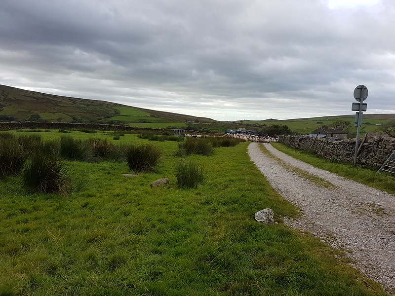

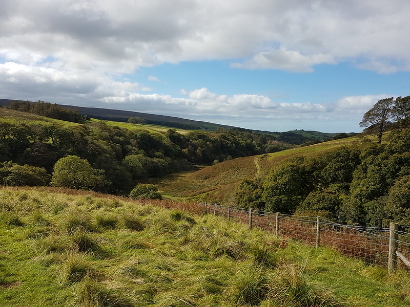
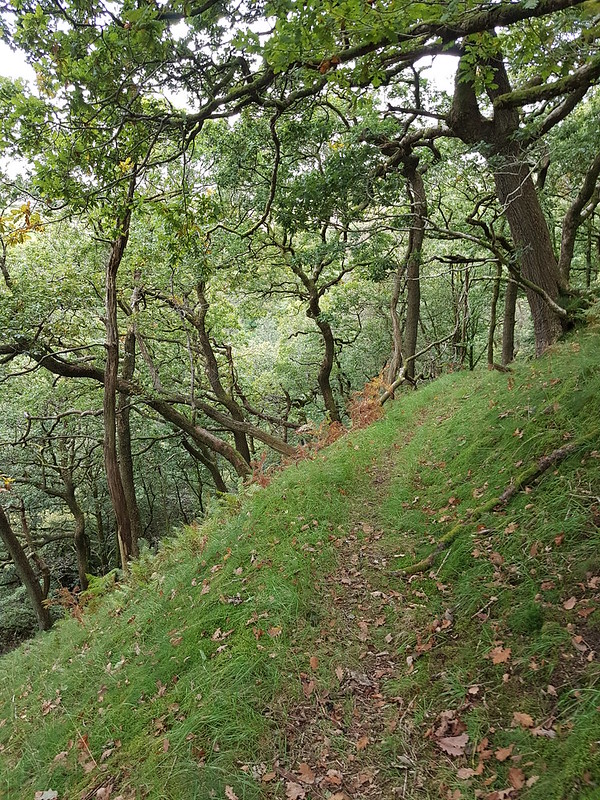
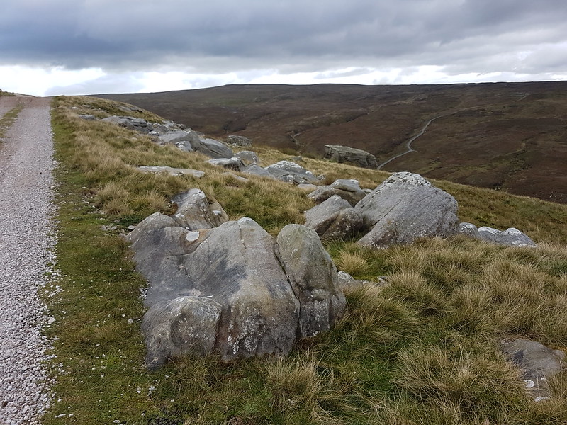
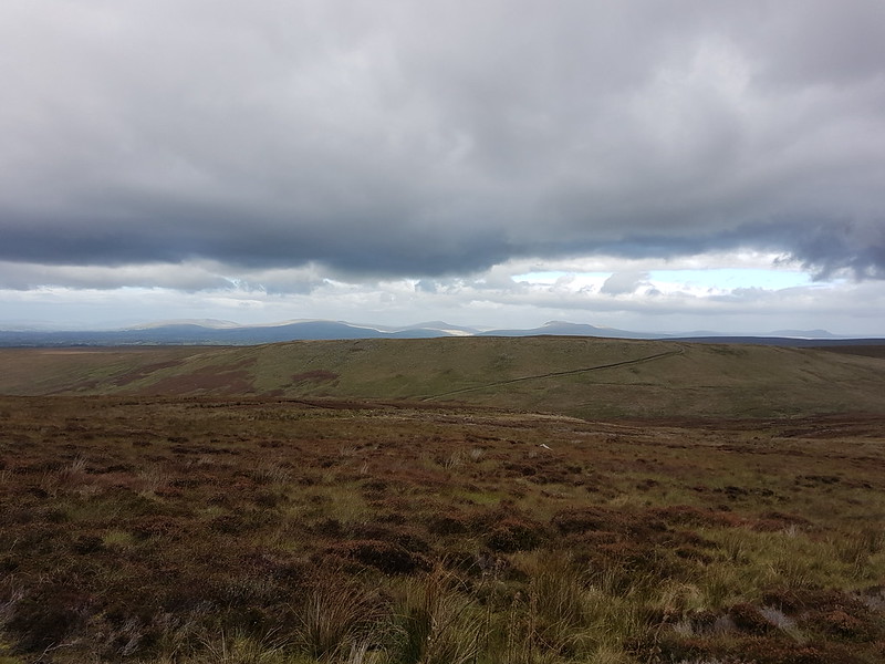
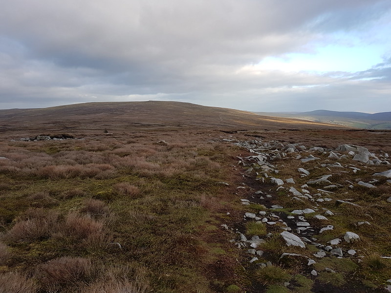
Given that I’d set off with fairly ambitious plans, I hadn’t started very early. I think I dropped off one or other of the boys, somewhere or other, before starting the walk. Anyway, I soon realised that I was quite short of time. I’d originally intended to stick with Hornby Road until I could take the path onto Wolfhole Crag, partly because I don’t think I’ve ever been up there. But that will have to wait for another day, since I decided instead to take the track from Alderstone Bank down to the River Roeburn and then back up via Mallowdale Fell. You can see the track on the photo below…


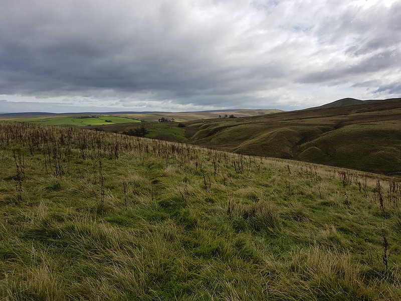
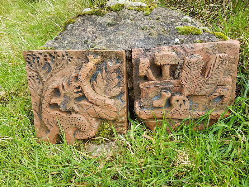
From Ward’s Stone the walk was on more familiar territory – over Grit Fell, past the Andy Goldsworthy sculptures and back to the Littledale Road, where my car was parked, via a stalker’s path and back to Sweet Beck.

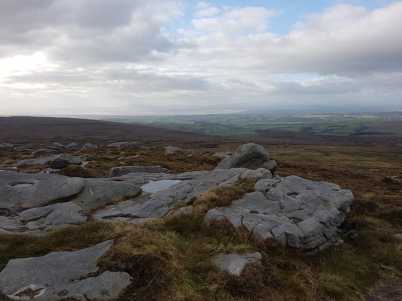
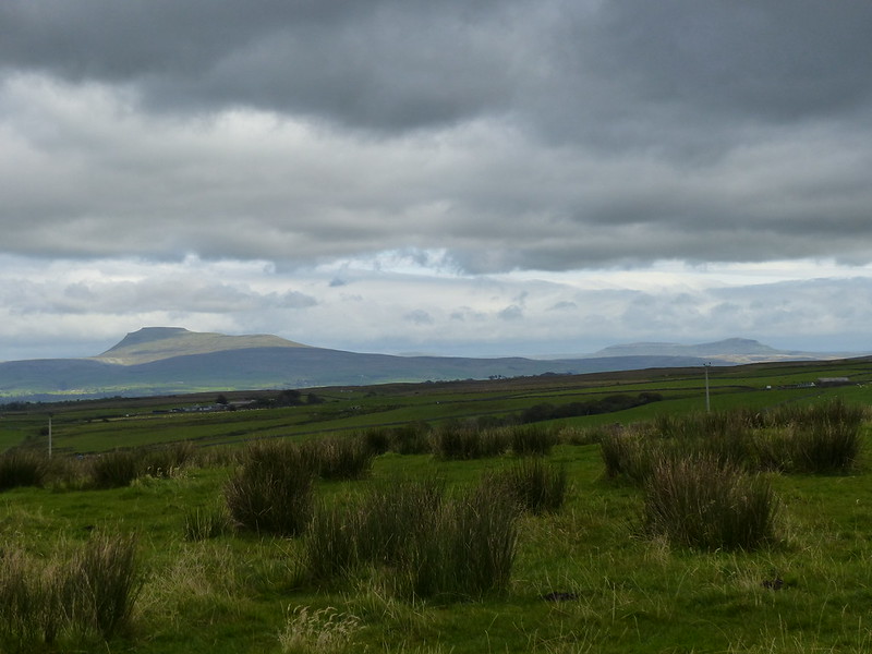
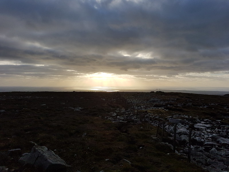
I even had some occasional moments of sunshine, and the light out over Morecambe Bay was absolutely superb. My photos don’t really do it justice, but it was lovely to keep getting views of it as I descended.

The route was around 17 miles, with a fair bit of up and down. I wish I could provide a map, but although MapMyWalk worked on the day, it subsequently lost the data. I’ve since uninstalled and reinstalled the app, which, touch wood, seems to have had the desired affect.
A great leg-stretcher, on a mostly gloomy day, which has left me with a number of ideas for further routes.
