Whitbarrow before the Heavens Opened

PXL_20230910_091049428
Ascending through the woods onto Whitbarrow.

TBH recently declared herself to be ‘fed up with Whitbarrow’. I suppose we have climbed it quite a few times in recent years, but I’m struggling to imagine getting tired of that prospect.

PXL_20230910_093218476
Foulshaw Moss, The River Kent and Arnside Knott from the south-western tip of Whitbarrow.

On the Sunday after our TMTCH gig, we needed something reasonably local and reasonably short because the forecast suggested that things were going to get very wet later in the day. They did.

PXL_20230910_093245148
A bit of a sit and a chinwag.

Whitbarrow, then was ideal on both counts.

PXL_20230910_095809305
Gummer How, the Lakeland Fells and Lord’s Seat.

Early sunshine soon gave way to much greyer, gloomy skies.

PXL_20230910_102856112
J and MM by the large cairn on Lord’s Seat.
PXL_20230910_103902704
A view of the Forest of Bowland Fells, Warton Crag, Arnside Knott and the Kent Estuary.

By the time we were off the hill by Witherslack Hall there were a few drops of moisture in the air.

PXL_20230910_110200897
Chapel Head Scar.
PXL_20230910_110214325
Approaching Witherslack Hall.
PXL_20230910_111953140
Curious looking cloud over the woods on Yewbarrow.

We almost made it back, but somewhere around Beck Head it began to absolutely chuck it down.

PXL_20230910_115041633
A road turned into a stream.

Not to worry, we’d got out again, and had a fabulous weekend together.

We didn’t walk along the A590. Must have forgotten to pause the app.
Whitbarrow before the Heavens Opened

A Night to Remember

Or Black Combe Again.

PXL_20230909_101744015
The substantial track up Black Combe from the south.

Old friends J and A, MM and F, and UF had booked a cottage in Silverdale for the weekend.
Back in our Manchester days, UF and I went to a fair few gigs together. (Perhaps I should say back in my Manchester days, since UF still lives on the outskirts of Manchester). One of the bands we saw together way back then was The Men They Couldn’t Hang. We’ve seen them many times since, although none of those all that recently. But they were playing the Platform in Morecambe and hence the get-together.

PXL_20230909_102114614
Black Combe

I suspect that J and A do more hill-walking than just about anyone else I know, but they live in Aberdeen, so chances to walk in the Lake District don’t come around all that often. J had never climbed Black Combe and asked was everyone amenable to join him in putting that right? We were.

PXL_20230909_114104252
Bog!

There was a little miscommunication over where we were going to park, but the layby we ended up in was perfect for our intended route – a north-south traverse starting and finishing to the west of the hill. The weather was a bit odd – warm and sunny with lots of lovely blue sky, but heavy, low cloud to the south.
Black Combe wasn’t busy at all, and the people we did see were cyclists flying along on ebikes which seems to be becoming the norm for mountain-bikers.

PXL_20230909_121238542
The team by the large cairn on Black Combe’s south top. TBH napping.

I suggested this spot on the south top for a lunch break because it has terrific views over Morecambe Bay. Well, sometimes it has terrific views over Morecambe Bay, but not on this occasion sadly…

PXL_20230909_115047538
The view!
PXL_20230909_121601037
Looking back up to the large cairn.

As usual, I hadn’t brought any lunch, so had a little wander down to another prominent cairn to see whether that offered any better view, which it did to a very limited extent…

PXL_20230909_121552042
A partial view of Morecambe Bay.
PXL_20230909_123841465
The hills north of Black Combe.
PXL_20230909_135629623
On our descent.
PXL_20230909_145343905
Whitbeck

TBH and I then went for a refreshing dip in the sea at Silecroft. It was spitting with rain by then, but that didn’t detract I didn’t feel. The others didn’t join us, they were eager to get back to their cottage to get fed, watered and spruced up for our evening’s entertainment.
My old friend X-Ray joined us at the venue and we also bumped into another friend of mine, E, who was TBH’s work colleague many moons ago and who was at the gig with a relative of a member of the band. TMTCH were fantastic. We’re off to see them again soon, well UF and I anyway, in Barnoldswick of all places.

Map
A Night to Remember

Silecroft Swim and Black Combe

PXL_20230709_092610232
Silecroft Beach

Old friend GFS was staying at Chapel Stile campsite in Nether Wasdale with his family and had been regularly posting pictures from the fells he’d bagged. I messaged him wondering whether he wanted to meet on the Sunday for a walk. He suggested Black Combe. I was a bit puzzled, since I knew he was enthusiastically ticking off the Wainwrights, as well as the Ethels he would tell me about later in the day, and Black Combe is not on that list. It turned out that he’s using an online list which includes all of the Outlying Fells, so, as far as he was concerned, it is a Wainwright and would add to his tally.

GFS suggested an eleven o’clock rendezvous, which, being jealous of my weekends, especially if the sun is shining, I felt was inordinately late, so I set-off early and drove a little past our prearranged meeting point for a quick swim in the Irish Sea at Silecroft.

PXL_20230709_095844195
The shingle upper region of Silecroft Beach.

I don’t think that Cumbria is reknowned for its beaches at all, but the one at Silecroft is lovely, and I suspect many others are equally good.

PXL_20230709_095831354
Sea Kale.

My first encounter with the beach here was also in July, over thirty years ago, when I came kayak-surfing here with a group of trainee teachers. It was far from being the first time I’d kayaked, but it was probably my first experience of surfing and it could easily have been my last. We were using some rather battered fibreglass canoes and the cockpit coping on my boat was cracked. I only discovered that my spray-deck was firmly jammed into that crack when I’d capsized and was trying to roll out of the boat in the way we’d been taught in the safe environs of a swimming pool. Of course, I should have been performing an eskimo roll, but I never quite mastered that. After a little confusion followed by some hasty tugging at the spray-deck, I managed to free myself, and was surprised to find myself the centre of attention and a worried looking instructor chest deep in the sea in an effort to rescue me. Reckless youth and adrenaline junkie that I was then, my only regret was that he wouldn’t let me go back out for some more surfing.
These days I’ll settle for an intentional swim without the preceding drama. There were a few people on surfboards near where I swam, but the waves looked unpromisingly tiny. Perfect for a swim with a great view however.

PXL_20230709_100016500
Black Combe.

I’d taken a leaf out of Andy’s book and had been perusing satellite images of the area in search of liking looking parking spots. As a result, I’d suggested a layby just off the main road, opposite the church at Hallthwaite.

PXL_20230709_103835405
Cinnabar Moth Caterpillars and lots of Soldier Beetles making love not war.
PXL_20230709_104248667
The Duddon Estuary from Baystone Bank, Bank House on the left.
PXL_20230709_104613072
GFS descending Baystone Bank.

The path which descended Baystone Bank should have alerted us to what was to come – it started out sketchy and quickly disappeared completely in the enveloping bracken.

PXL_20230709_110944731
Stoupdale Beck.

Having reached access land just below Force Knott the plan was to turn sharp left and to follow the path, marked on the OS 1:25,000 map, which follows the intake wall. The idea was to work our way around to Whitecombe Beck and then on to the Horse Back ridge which I have often admired, but never climbed. My plan then extended to a lengthy descent route which would conveniently take in the Swinside stone circle, which has also been on my wish list for a very long time. As Iron Mike famously opined: “Everybody has a plan until they get punched in the face.” In this case, the knuckle sandwich was delivered by the head-high bracken.

PXL_20230709_111055918
Heath Spotted-orchid.

Sadly, the advertised path simply didn’t exist, at least not in July, and the path which climbed up beside Stoupdale beck, which seemed like the only alternative, briefly lulled us into a false sense of security before also disappearing. Orienteering maps use different colours to indicate the density of the undergrowth, the most extreme being ‘fight’ I think. This was definitely a fight. Fortunately, we eventually climbed above the worst of the bracken and the path returned without a hint of embarrassment or any sign of an apology.

PXL_20230709_115517483
The Duddon Estuary again.

From that point on it was just a steady climb to the top, in glorious sunshine.

PXL_20230709_124640419
GFS in the region of Whitecombe Moss.
PXL_20230709_132344984
Looking towards Whitfell, The Scafells and the Coniston Fells.
PXL_20230709_133114890
GFS and me by the trig pillar.
PXL_20230709_133850074
The huge cairn on the south top.
PXL_20230709_133944989
View to Walney Island beyond the mouth of the Duddon. Piel Island can also be picked out.

We sat with our backs to the large cairn, eating our lunch, admiring the extensive views and discussing potential onward routes, since we had already climbed much of my proposed descent route and we were keen to avoid another quarrel with the bracken as much as possible.

PXL_20230709_143210982
Horse Back ridge.

I had a theory that a route around the southern edge of the actual Blackcombe corrie might be our best bet. I thought the path beside Whitecombe Beck would be bracken free.

PXL_20230709_144053903
Eller Peatpot.

It did turn out to be a good route, with only a modicum of bracken bashing as we approached the track by the stream.

PXL_20230709_144902181
Ominous clouds heading our way.
PXL_20230709_151739428
Blackcombe Beck.

Our new route involved a lot of road walking, mostly on quiet lanes which was fine, but from Fox and Goose Cottages to Lanthwaite Bridge along the busy A595. Whilst we were walking that section, TBH rang me to find out whether we were back at our cars yet? She was in Heysham, to pick up Little S, and reported a torrential downpour which had immediately flooded the roads and made driving difficult.
We’d been watching showers tracking across the sea in our direction for a while and now the sky was dark and threatening.

PXL_20230709_162448531
New (2020) Standing Stone at The Green.

I was very taken by this new standing stone, which was carved by Irene Rogan and Danny Clahane. It took a while to find out anything about it, but I eventually turned up a suggested walk taking in this and the Swinside Stone Circle, which I shall have to come back to try at some point.

PXL_20230709_163547562
Black Beck at Hallthwaites.
PXL_20230709_163704266
GFS in Hallthwaites.

In the event, the first drops of rain only began to fall as we arrived back at our cars and the anticipated heavy showers didn’t materialise at all.
Despite the best efforts of the bracken, it was a terrific walk. It’s always interesting to chat with GFS and I remember that we covered a lot of ground in our conversation.

MapMyWalk gives a little under 10 miles and almost exactly 700m of ascent.

Silecroft Swim and Black Combe

Torver Back Common, Torver Low Common, Beacon Fell.

20211205_095105
Coniston Water and Torver Common Wood

Jump forward a week from our walk from Carperby and the forecast was reasonably promising, but with strong winds part of that forecast, I decided to stick to low fells and an exploration of Torver Common. I parked close to where the Cumbria Way crosses the A5084 Coniston Road. Initially, I followed the Cumbria Way down to the shore of the lake, with some light rain falling intermittently.

20211205_100408

In Torver Common Wood a path (not a right-of-way) led uphill toward open ground. There were many fallen trees after the storm of a week before and it was necessary to weave a way through, around or under the trees.

20211205_101336
A first view of the Coniston Fells.

I was surprised, when I emerged from the trees, to discover that the Coniston Fells were all cloud free. They would remain so for most of the day, and would dominate the view from that point on.

20211205_101342
Looking back to Coniston Water and the snowy fells beyond.
20211205_102529
Looking South. Coniston Water and Beacon Fell.
20211205_103212
Coniston Fells again.
20211205_103924
Long Moss Tarn.
20211205_105624
Kelly Hall Tarn.
20211205_110447
Near Mill Bridge – the old mill house? And Torver Beck.
20211205_111302
Torver Tarn (unnamed on the map). Plain Riggs on the right – where I was heading.
20211205_112032
From Plain Riggs – across Torver Tarn to Beacon Fell.

From Plain Riggs I stuck to the high ground heading for Green How. The area is dotted with small tarns, all unnamed on the map. Here’s one of them…
20211205_113351

Andy has been telling me for ages that I ought to stump up for the OS Maps app. Of course, he was right all along. I’ve got it now, and it was invaluable on this relatively pathless terrain.

20211205_114532
Pool Scar – Black Combe beyond.
20211205_115111
The cairn on Yew Bank, looking to the Coniston Fells.
20211205_115131
The cairn on Yew Bank, looking towards Beacon Fell.
20211205_122255
Duddon Estuary and Black Combe.
20211205_122920
The way this cairn is marked on the OS map suggests that it is prehistoric.
20211205_130803
Beacon Tarn
20211205_132548
Coniston Fells from Beacon Fell.
20211205_132633
Coniston Water from Beacon Fell.
20211205_133635
Sunlight catching Black Combe.

Although there had been a fair bit of blue sky about for most of the day, there had also been a blanket of cloud blocking out the sun and it had been really quite gloomy as you can see from my photos. Then, as I’d almost finished my walk, it began to brighten up…

20211205_135637

The final part of the walk, back on the Cumbria Way, was delightful.

20211205_141905
Stable Harvey Moss

No big hills, but a great leg-stretcher, and another indication that neither Covid nor plantar fasciitis were holding me back. What’s-more, Beacon Fell and Yew Bank are both ‘Outlying Fells’ although I wasn’t aware of that at the time, or I might have diverted slightly to include Wool Knott to the south of Beacon Tarn, which is another.

I did actually complete the loop – it’s just that my phone ran out of juice. I need to find a solution to my phone quickly running down now that I’m using it as a camera, using MapMyWalk and the OS maps app.
Torver Back Common, Torver Low Common, Beacon Fell.

A Walk from Bowland Bridge

20210424_151057
Across the Winster Valley to Whitbarrow Scar.

A hot Saturday afternoon, towards the end of April. TBH and I escaped for a short stroll around the Winster valley.

20210424_162700
Eastern Fells from Raven’s Barrow.

Raven’s Barrow isn’t really a summit, just a bump on the edge of sprawling Cartmel Fell, but it has a huge cairn (with a seat built into it) and superb, panoramic views. We found a place to get out of the wind and sat for quite some time. With a brew, of course.

20210424_162645
Whitbarrow from Raven’s Barrow.
20210424_154905
Looking South from Raven’s Barrow.
20210424_154905
With annotations – what do you think?
20210424_164316
Hmmmm – not sure that I agree.

I like the idea of footpath signs with a quote. I always like to know where quotes originate, but couldn’t track this one down. I did find this…

“I will not follow where the path may lead, but I will go where there is no path, and I will leave a trail.”

…which seems to be often wrongly attributed to Emerson, but is actually the work of Muriel Strode, ‘the female Walt Whitman’, who I think may repay further investigation.

20210424_164735
St. Anthony’s Church.
20210424_165924
Whitbarrow Scar again.
20210424_170312
River Winster – looking South.
20210424_170315
River Winster – looking north.
20210424_170806
Raven’s Barrow from the edge of Colehowe Wood.
20210424_171640
Cowclose Wood.
20210424_171543
Cowclose Wood bluebells.
20210424_172319
Nearing the top of Cowclose Wood.

The bluebells in Cowclose Wood were fantastic. I’m afraid, as usual, my photos don’t begin to do them justice.

20210424_172516
Pool Bank.

Pool Bank is a tiny hamlet, full of charming old buildings.

20210424_172645
Fox’s Pulpit Pool Bank – another place where the Quaker founder preached in the open.
20210424_173019
Descending towards Coppy Beck accompanied by Blackthorn blossom.
20210424_173929
Cowmire Hall and the northern end of Whitbarrow Scar.
20210424_181050
The Hare and Hounds – back in Bowland Bridge.

I think the battery on my phone died at Pool Bank. From there we followed the path through Broomer Dale to near Lobby Bridge, then another path to Scale Hill, then back along the minor lane we had started on.

A Walk from Bowland Bridge

Round Windermere II

IMG_2386

Sunday started a good deal brighter than Saturday had. I expected to be stiff and sore following the exploits of the day before, but actually felt fine, but for one slight issue. I’d chosen to wear the same rather worn-out pair of Clark’s shoes in which I do most of my walking. I realise that might seem an unusual choice and some people might even go as far as to disapprove, but the shoes have been very comfortable, pretty waterproof and have looked after me well. Until now. I bought them in a sale and have had them for quite some time now. I knew that they were past their best, but I didn’t realise the extent to which the soles had worn thin. As a result, I now had a blood blister on the ball of each foot. They weren’t excruciating. I managed to scrounge some plasters from reception at the hostel and decided to wear two pairs of sock by way of compensation.

My walk started through…

IMG_2387

…which was really rather wonderful. On both days of the walk, I was really struck by the immaculate and colourful gardens I passed, most of them stuffed full off flowering shrubs…

IMG_2389

Rhododendrons and azaleas?

A and I passed this way at the end of the second day of our walk from Silverdale to Keswick, but it was a bit dark by then to see the flowers, so I’ve wanted to come back.

This section of the route, via Jenkin Crag to Troutbeck, is an old favourite and is very familiar territory.

IMG_2393

Coniston Fells from Jenkin Crag.

IMG_2395

Claife Heights and Latterbarrow from Jenkin Crag.

IMG_2397

Looking down the lake to Gummer How.

IMG_2398

More Bluebells.

IMG_2402

High Skelghyll.

IMG_2403

Looking down the lake – Belle Isle seems almost to split the north and south basins into two separate lakes.

IMG_2405

Troutbeck.

IMG_2408

Townend.

I thought, this being a National Trust property, I’d definitely be able to buy a cup of tea here, but it wouldn’t open for hours yet.

I’ve always admired this rather fine bank barn across the road from Townend. I hope that the National Trust won this too, and that it’s being looked after.

IMG_2409

At this point, my route diverted, for a while at least, from the one A and I had followed. I dropped to a different bridge, well, bridges…

IMG_2410

…over Trout Beck. These must have been destroyed in the flooding a couple of years ago. The new bridges look very robust.

I’m glad I stuck with Mister Turner’s route, because this section of path was new to me, and very beautiful in a low key way.

IMG_2417

There are a number of houses here, above the RHS gardens at Holehird, which have the most amazing views.

IMG_2419

Next on the agenda was Orrest Head, which, as always I suspect, was absolutely thronged with people.

IMG_2424

The view north along the lake from Orrest Head.

IMG_2426

The view south along the lake from Orrest Head.

Busy at it was on Orrest head, I dropped down into Common Wood on a permission path and soon was completely alone again.

I thought that these distinctive looking flowers would be easy to identify…

IMG_2428

…but in fact they took quite a lot of tracking down. As usual, it was the excellent Wildflower Finder website which came up trumps. I think that this is Indian Rhubarb, an introduced species native to the western United States. Apparently the leaves, when they appear, are every attractive, which is why gardeners like it for damp shady areas in their gardens.

This field…

IMG_2429

…on the lane just beyond the wood, was brimful of Cuckoo Flower, which is native, tasty and the principal food plant for Orange-tip butterflies.

IMG_2430

Part of a stunning garden on the outskirts of Windermere.

The slopes of School Knott, above Windermere, proved to be extremely confusing. My map shows open fields, but trees have been planted, which are now growing quite large and there are paths everywhere, with some sort of de facto right to roam seemingly in operation. I stopped a couple of dog walkers and asked for directions, but ended up following my nose uphill.

IMG_2434

Windermere and beyond from School Knott.

It’s a lovely spot, with terrific views, and, like Orrest Head, is another of Wainwright’s outlying fells. I noticed that some walkers were also climbing the higher Grandsire, although the map doesn’t indicate any access is allowed. It looks worth a look though, so I shall have to come back.

IMG_2437

Grandsire and School Knott Tarn (?).

There is a path down to the little tarn though. So…

IMG_2439

…that’s the way I went. It was warm enough here for me to be regretting that I didn’t really have enough time to stop for a swim.

Just beyond this point, I met a party of four on the Dales Way path, who asked for directions. They told me that they were walking from Bowness to Staveley (the one near Kendal, not the one I’d passed through the day before) and back. Since they were barely out of Bowness, they decided to amend their plans.

A fair bit of road walking followed, some of it along a busy road past Windermere Golf Club, which was unfortunate. Once I’d turned into the much quieter Lindeth Lane, things improved again. I met another lost party, a large group of ladies. I gathered they’d been a bit confused for some time. The explanation for how they’d lost their way was rather simple, but, in fairness, they’d missed a turn on to a path which I’m not sure existed on the ground.

I’d taken many photos on the next part of the walk, although it was very pleasant, through a mixture of fields, woodland and wood pasture with bits of scrub.

This…

IMG_2444

…and this…

IMG_2445

…are Podnet Tarn. The track which runs past has, by this point, become a metalled affair.

Nearby, Great Ludderburn Moss…

IMG_2449

…Little Ludderburn Moss and Green Hill form a nature reserve owned by the lake District National Park Authority which, unusually, seems to have no online presence at all (the nature reserve that is).

IMG_2456

On the map, it looks like the paths here link perfectly, but unfortunately, due presumably to the intransigence of some local home owners, there’s actually a detour by road before it’s possible to pick up a path to get back on course.

The detour goes right past Low Ludderburn, one of the houses in the area where the author and reputed spy Arthur Ransome lived, but I’m afraid I wasn’t paying attention and didn’t take any photos.

Wood anemones.

IMG_2459

The next part of the route, a long steady ascent of Gummer How via a path beside Burrow Beck was an absolute delight. The path is obviously well-used, although it isn’t a right-of-way. The woods are full of moss-covered lumps and fallen trees.

There’s also quite a bit of…

IMG_2462

…this shrub, which I thought was Wild Privet, but clearly isn’t since I just read that only begins to flower in June.

IMG_2460

Oh. More research needed!

Edit: I’ve done a little more checking, and I now think that this is Bird Cherry.

It was late afternoon now and it had clouded up, the wind had picked up, there were a few drops of moisture in the air and when I emerged from the woods on to Gummer How, I realised that it had grown quite cold.

Still there were the views for compensation…

IMG_2463

It was very satisfying to look back on where I had walked for the last two days.

IMG_2467

Lakeside and Summer House Knott. Notice Bigland Barrow and Haverthwaite Heights behind – both long overdue a revisit from me.

Duncan Turner gives this day as 16¼ miles with 2891′ of ascent. It took me a good deal less time than the day before had, which probably puts some perspective on how long that was. I’d cut it slightly short by stopping below Gummer How, but MapMyWalk measured it as 28km which is actually a bit further. (But subsequently ‘lost’ the data, so I can’t include a bird’s-eye Google-earth map. (Andy thinks that this might be a problem with the antiquity of my phone, rather than one inherent in the app.).

Screenshot 2019-05-29 at 14.08.22Screenshot 2019-05-29 at 14.07.05Screenshot 2019-05-29 at 14.05.51

It is an excellent route, thoroughly recommended. If you had more time you might incorporate Black Crag and Wansfell on either side of the head of the lake. If you are contemplating following in my footsteps, then please consider buying a copy of ‘Windermere: Walking Around the Lake’, not just because it’s a handy and informative guide, but because royalties from the book are donated to Holehird which provides a home for people living with disabilities and which is just off the route.

Talking of charity appeals:

In the summer, I shall be attempting to complete the annual 10 in 10 challenge. Briefly, the idea is to walk a route over 10 Wainwrights in 10 hours or less.  You can find out more here.

The event is a fundraiser and I’m hoping to get some sponsorship for the Multiple Sclerosis Society. My Just Giving page is here. All donations, however small, will be most welcome. I should add that the sponsorship is not a condition of my entry and that I’ve already paid a fee to enter which covers all costs, so all sponsor money would go directly to charity.

A heartfelt thanks to those who have donated already. The event is getting frighteningly close, so I’ll shall soon stop pasting this onto the end of posts, I promise. I could really do with about another year, or maybe two, to prepare….


Round Windermere II

Round Windermere I

IMG_2261

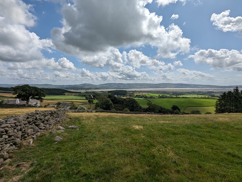
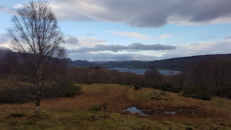
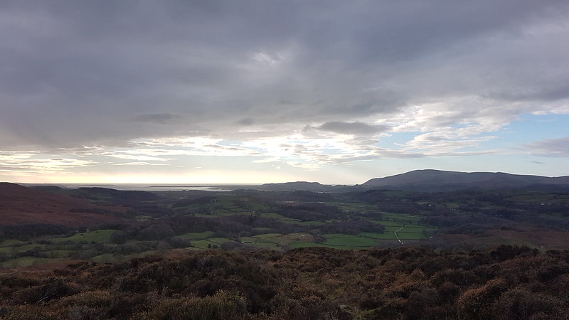
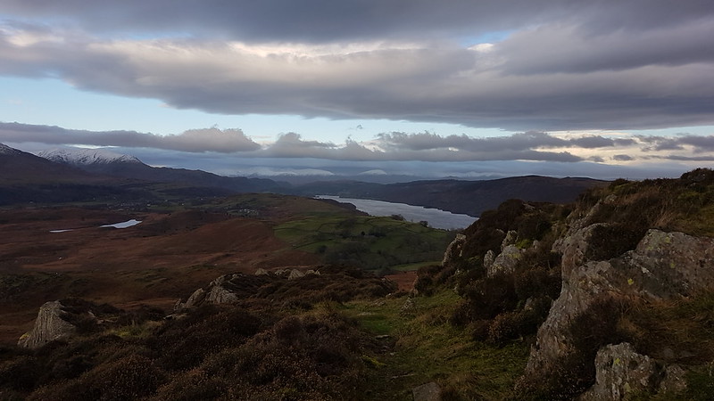
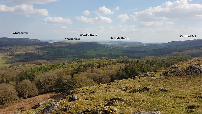
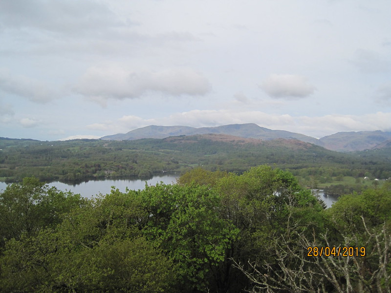
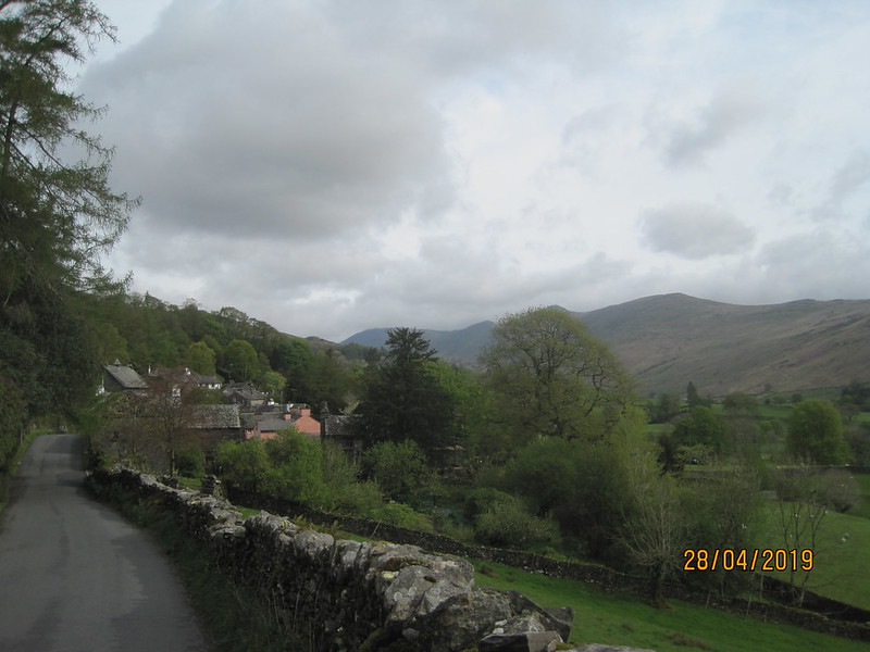
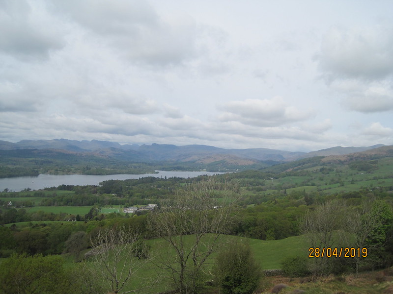
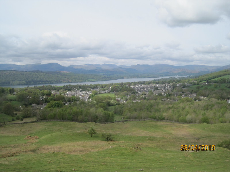
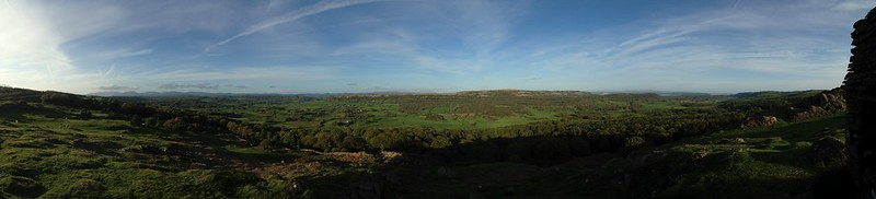
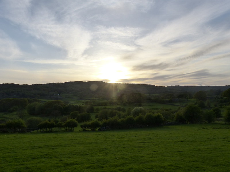
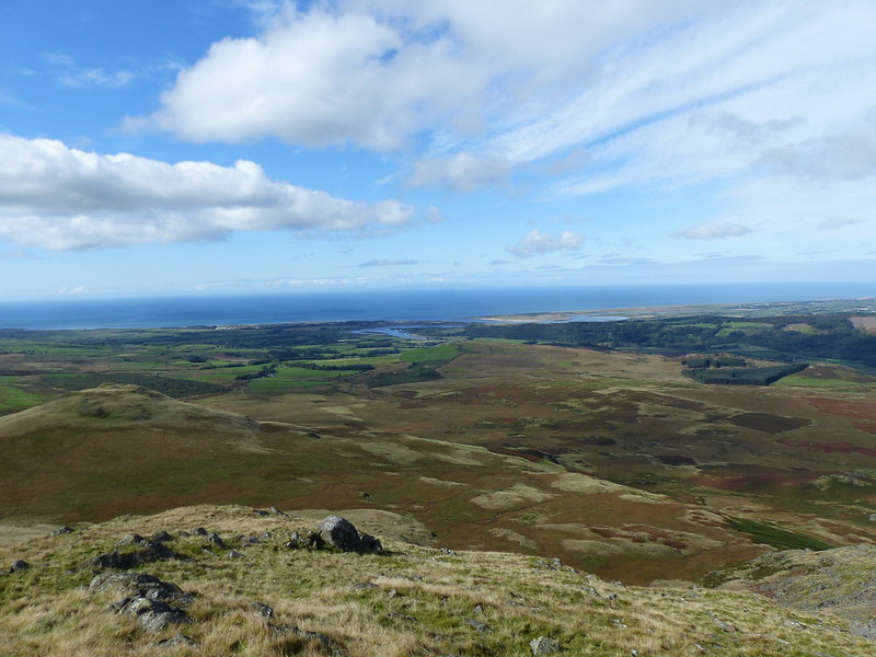
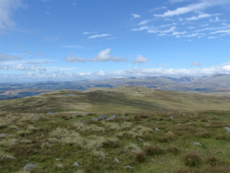
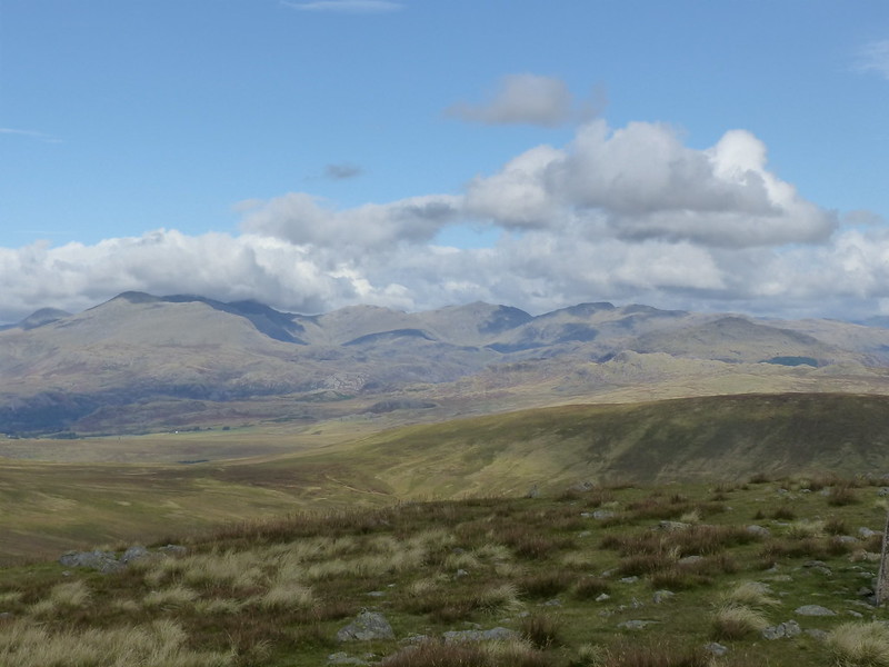
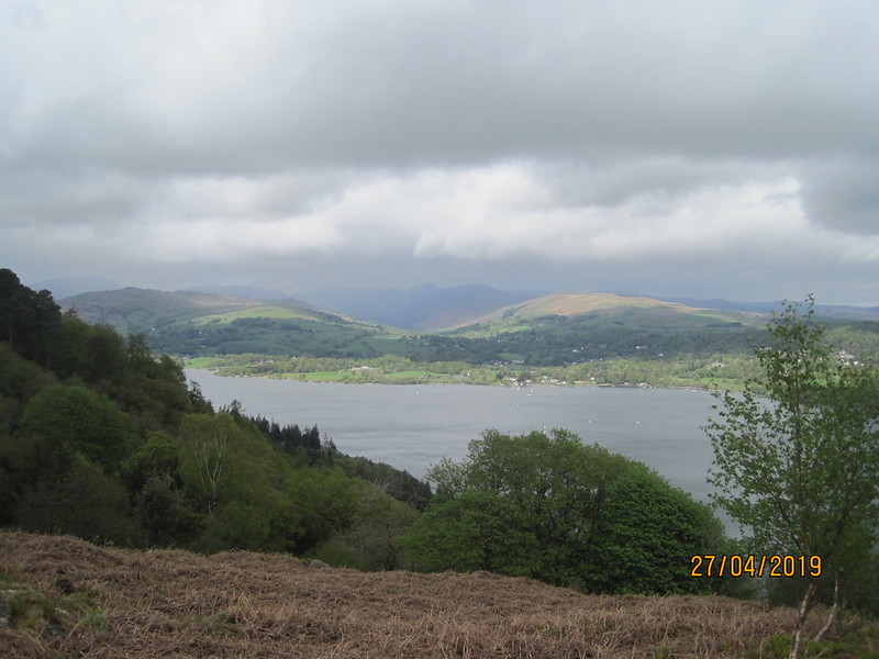
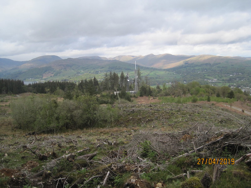
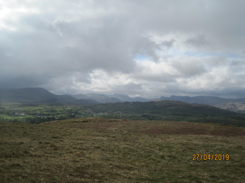
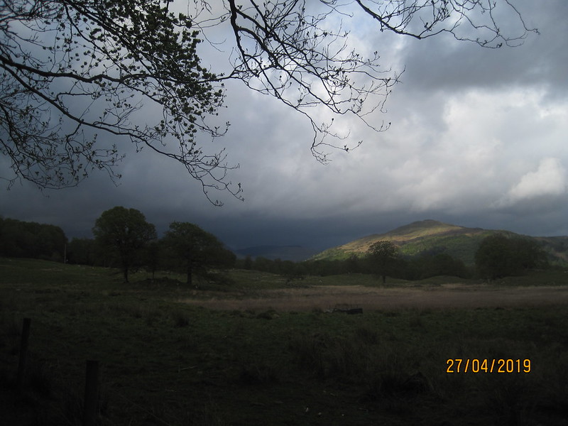
Windermere and the Coniston Fells from the road south of Gummer How.

B was on a rugby tour to North Wales. I was originally signed up to go, but then had second thoughts. Much as I like watching B and his teammates play, and chatting to the other parents, I also fancied a weekend in the hills. After a great deal of deliberating, I decided I wouldn’t accompany the team to Llandudno, but get some wild-camping in instead.

But then, as the weekend approached, the forecast was pretty dire. Rain, wind, rain and a lot more wind was expected. I hastily changed my plans and opted for a lower-level alternative with warm and dry lodgings at the end of it.

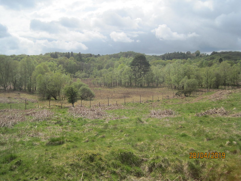
My new plan was to walk around Windermere over the course of two days. That’s the lake, not the town – A was very confused by my plan and seemed to think I would spend the entire weekend wandering the streets of Windermere, presumably looking a bit lost whilst doing so.

IMG_2262

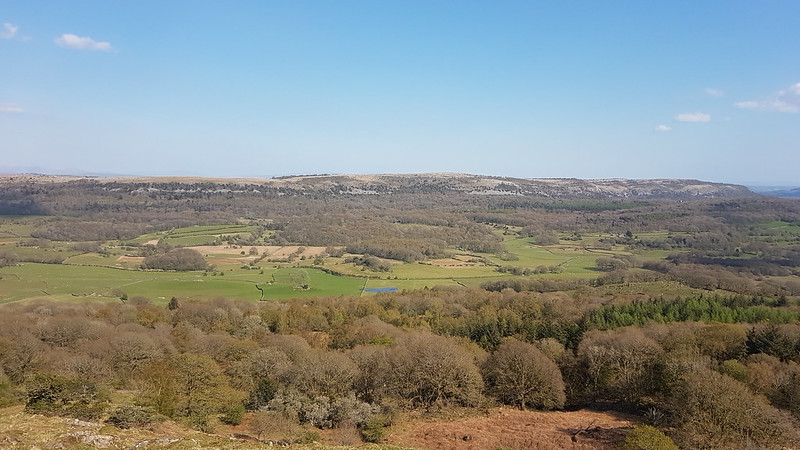
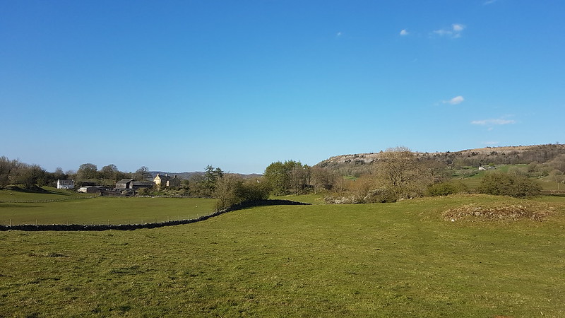
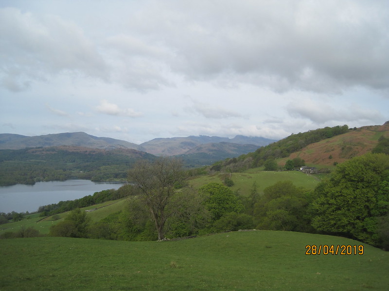
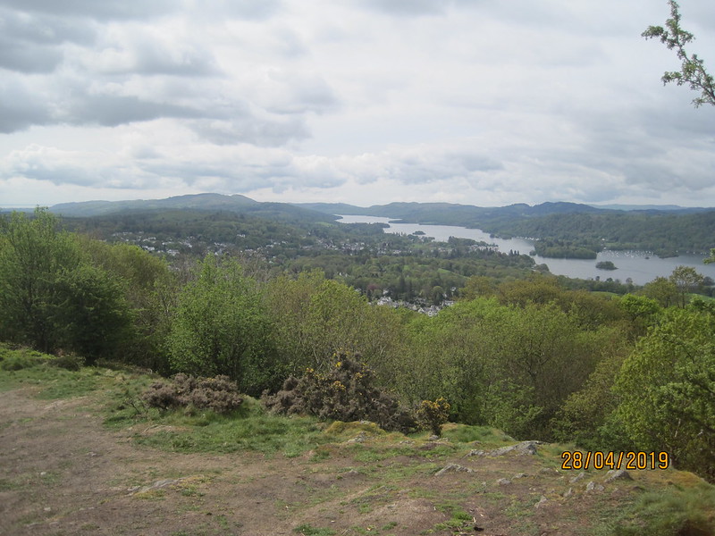
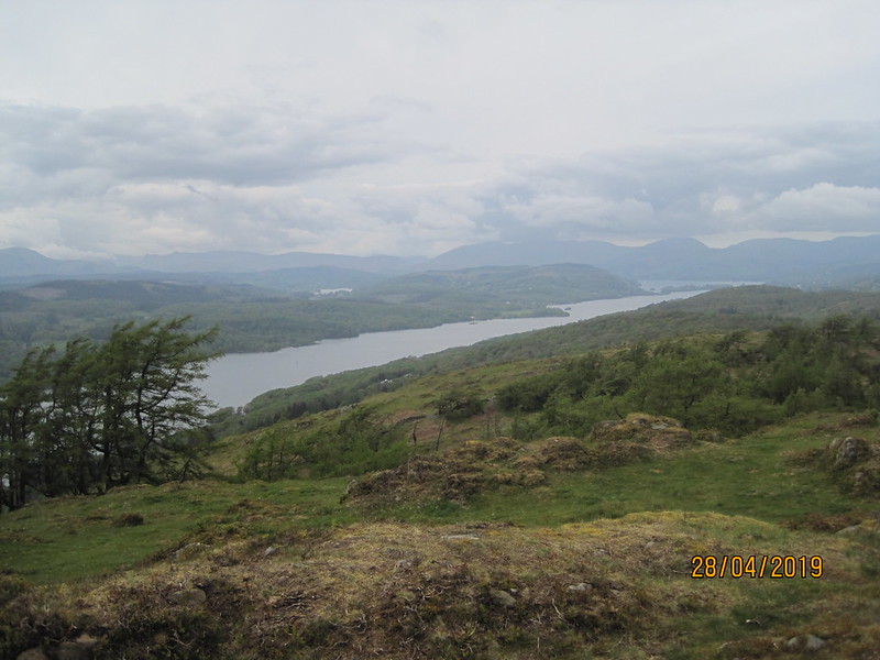
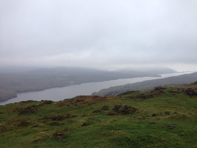
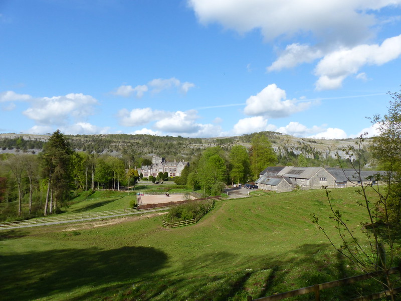
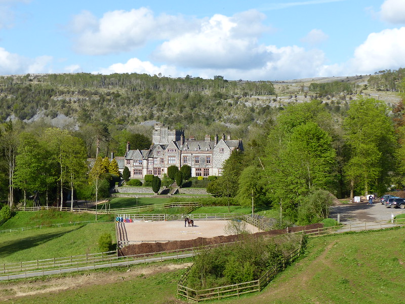
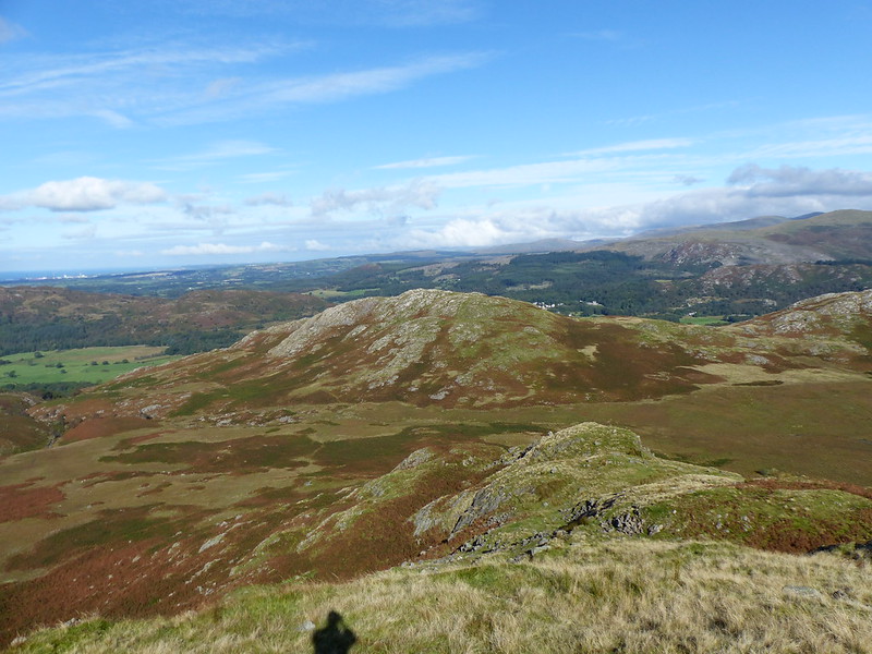
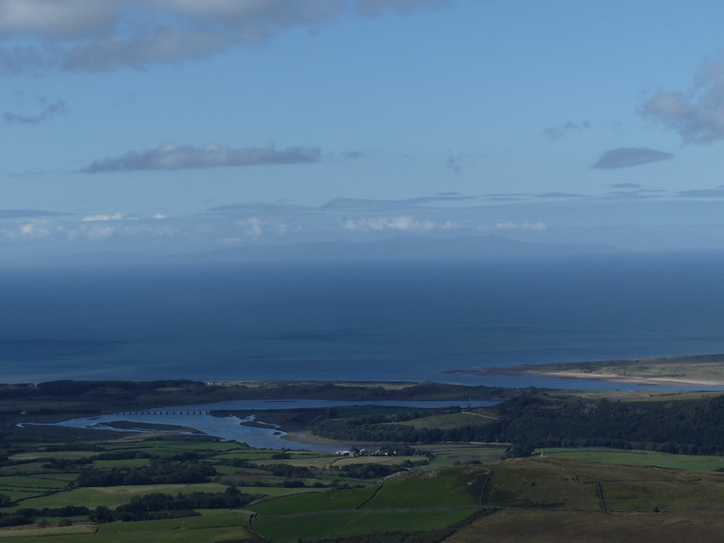
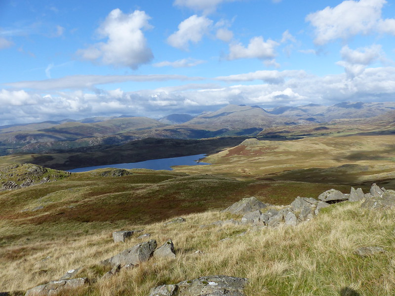
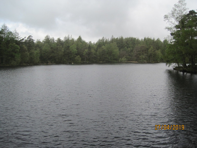
Looking down to Lakeside and Summer House Knott.

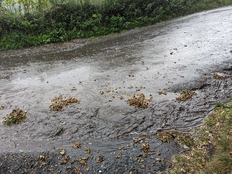
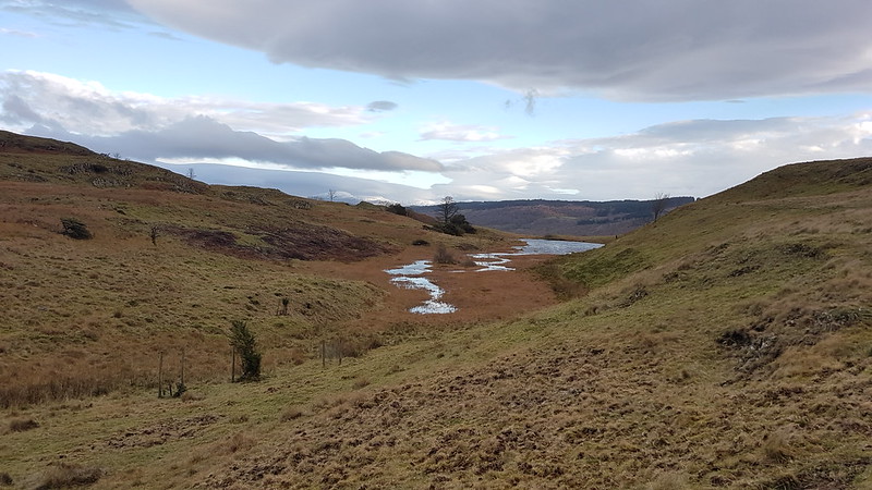
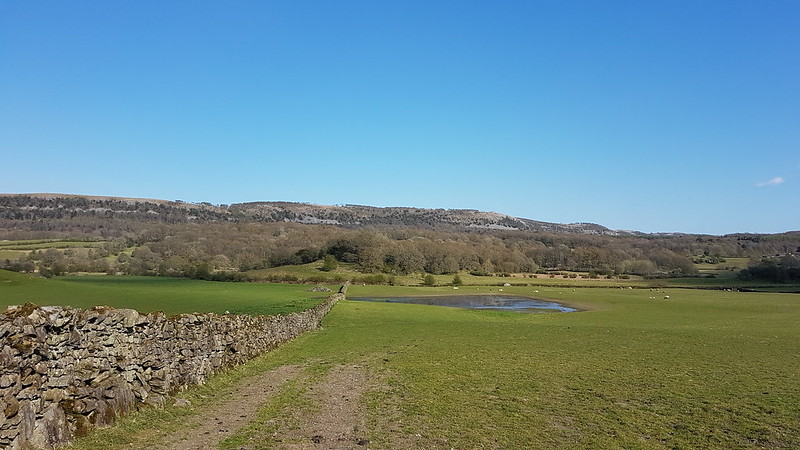
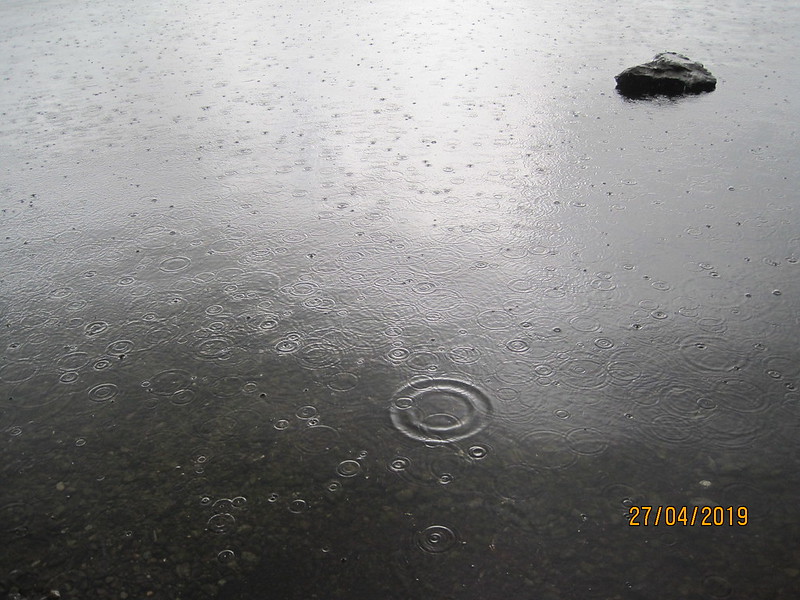
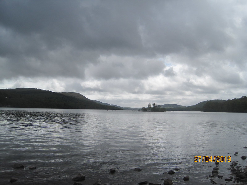
True to form, I started my walk in a light rain. I’d elected to leave my car in the small car park below Gummer How, which as well as being relatively near to the southern end of the lake has the huge advantage of being free.

I’ve long wanted to do this walk, since picking up a copy of ‘Windermere: Walking Around the Lake’ by Duncan Turner. He suggests catching the ferry from Fell Foot to Lakeside, which neatly avoids the main A590, but I was making an early start and the first ferry wouldn’t be until late morning, so I decided to string together footpaths and lanes to take me around the end of the lake.

IMG_2263

Dropping down the road towards Fell Foot, I could see the Saturday Morning Park Run taking place in the park. TBH has been a couple of times and has encouraged me to give it a go. One day perhaps.

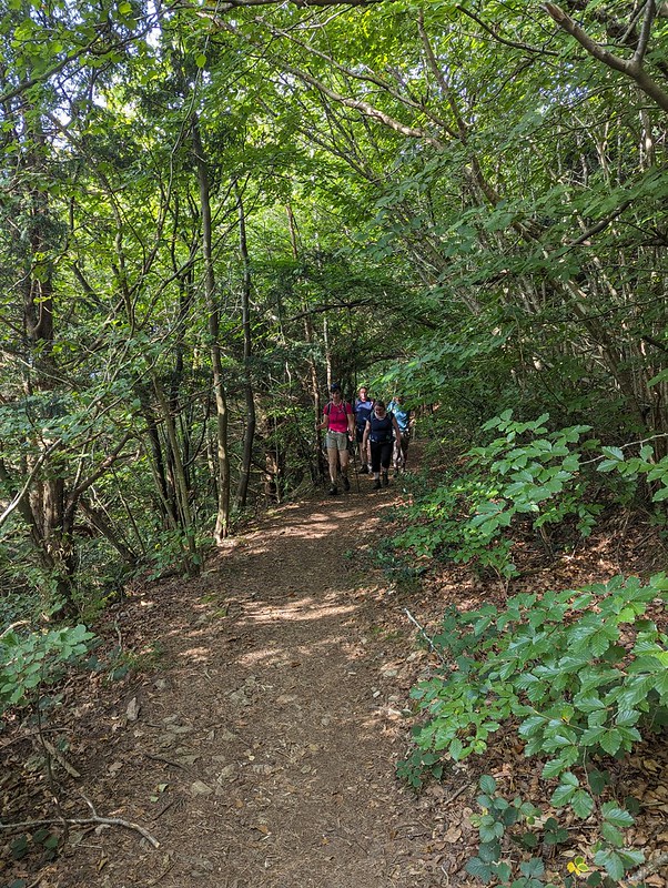
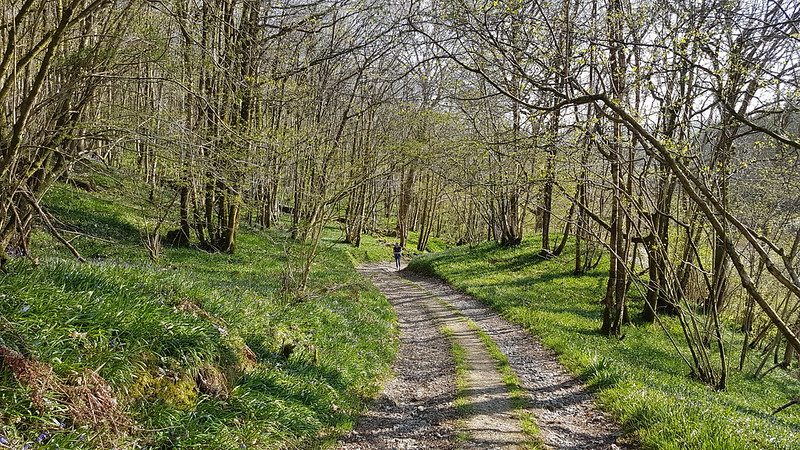
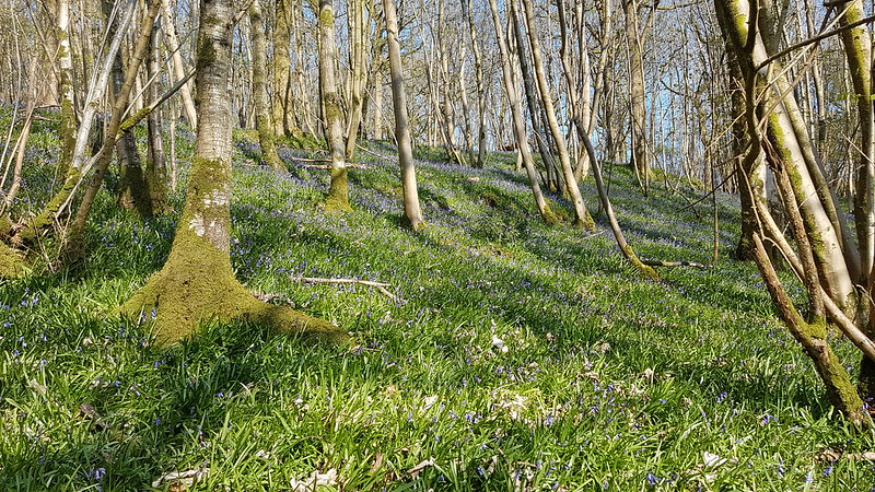
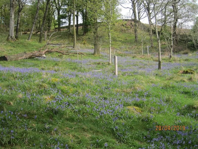
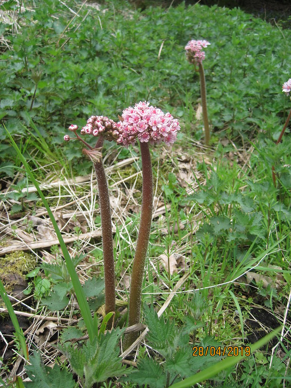
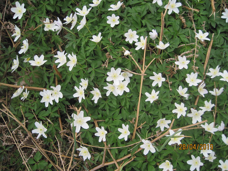
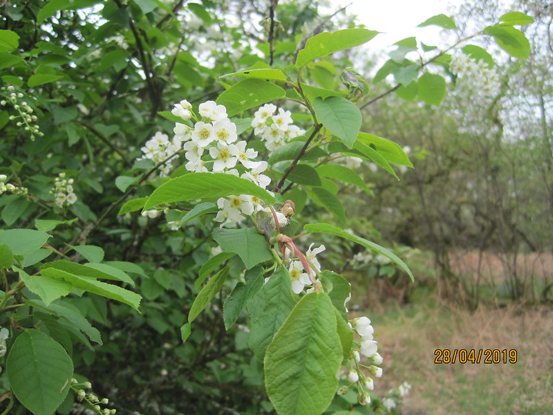
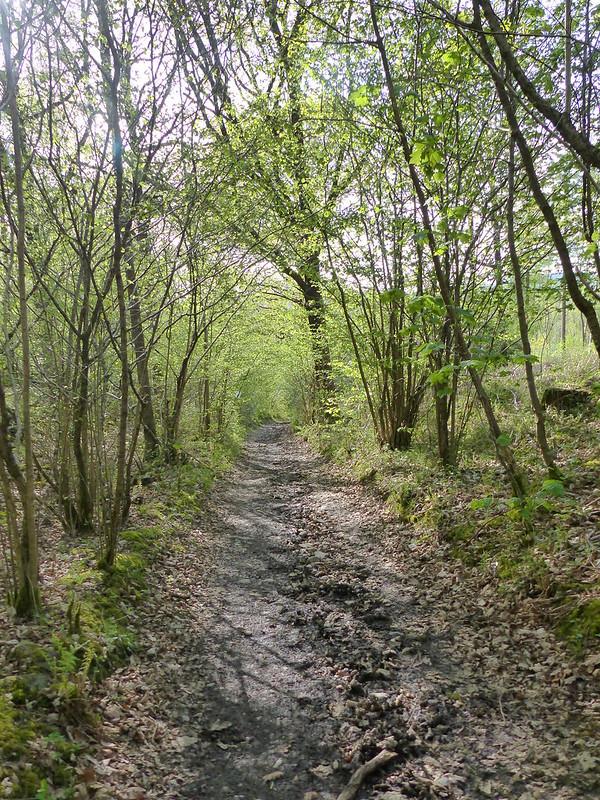
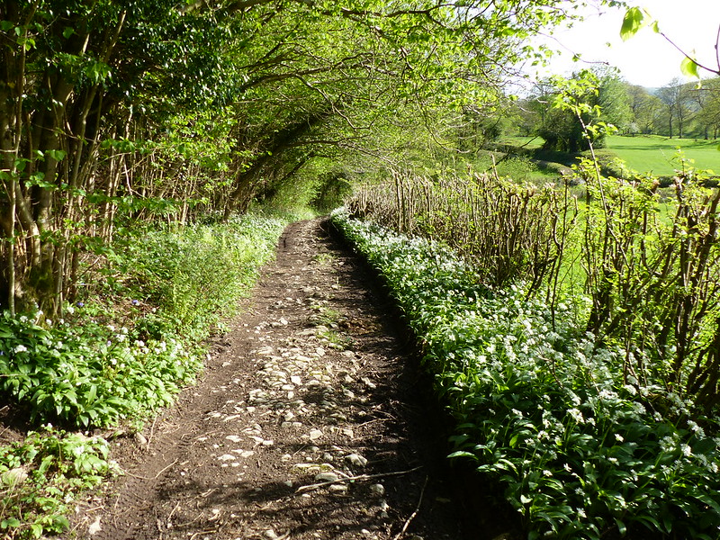
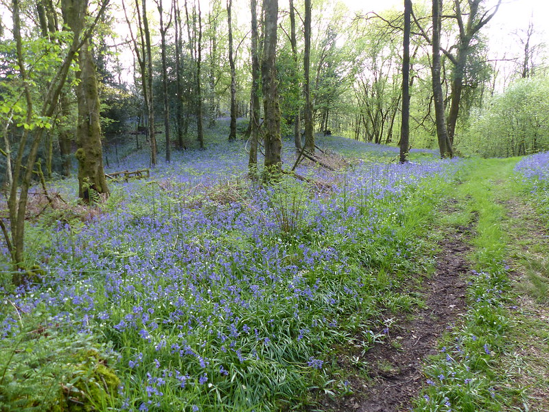
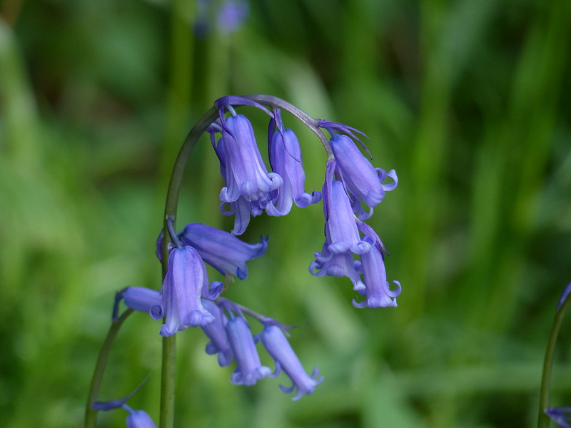
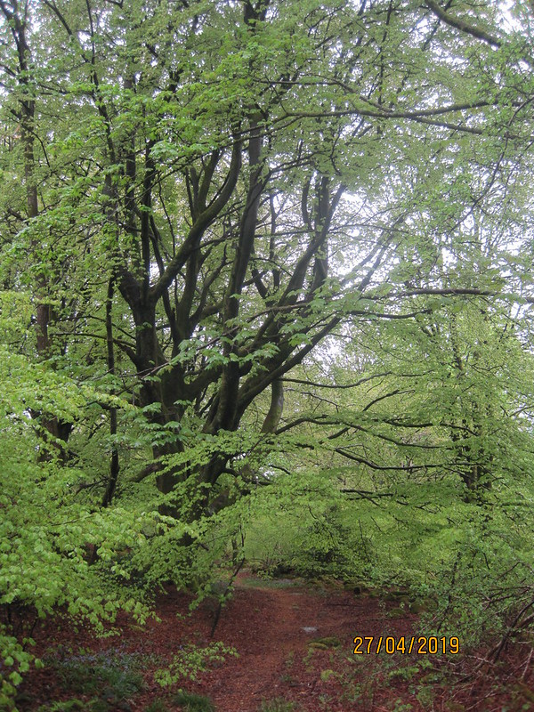
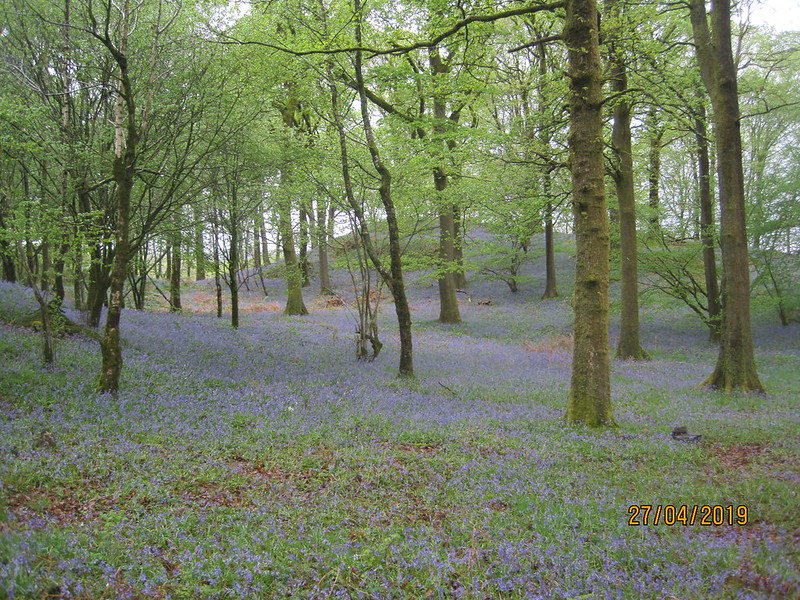
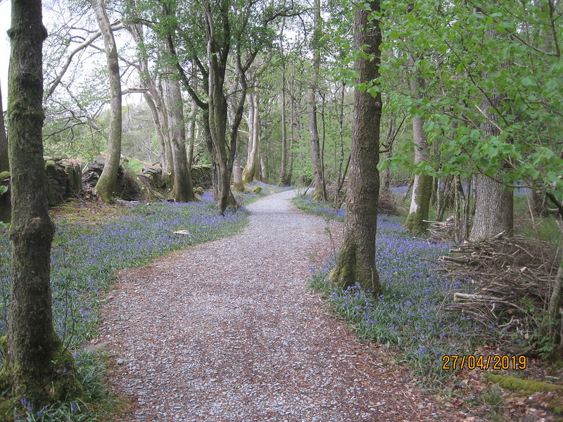
Eventually, I picked up a delightful path through Beech woods carpeted with Bluebells…

IMG_2266

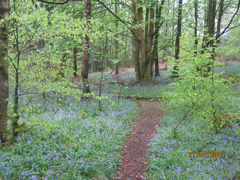
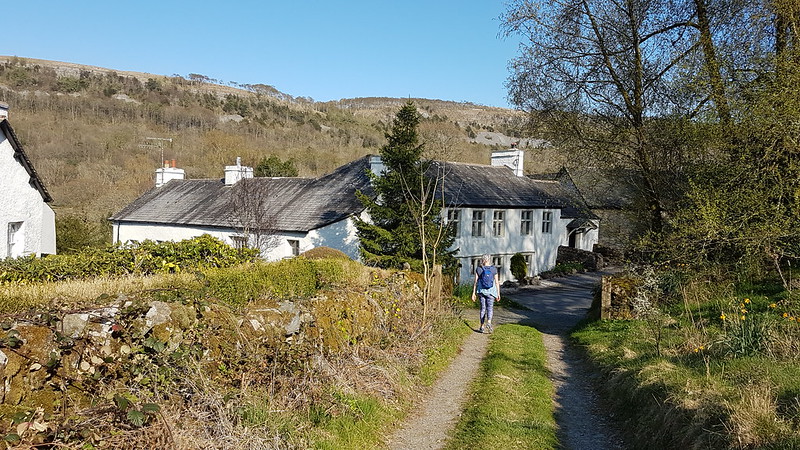
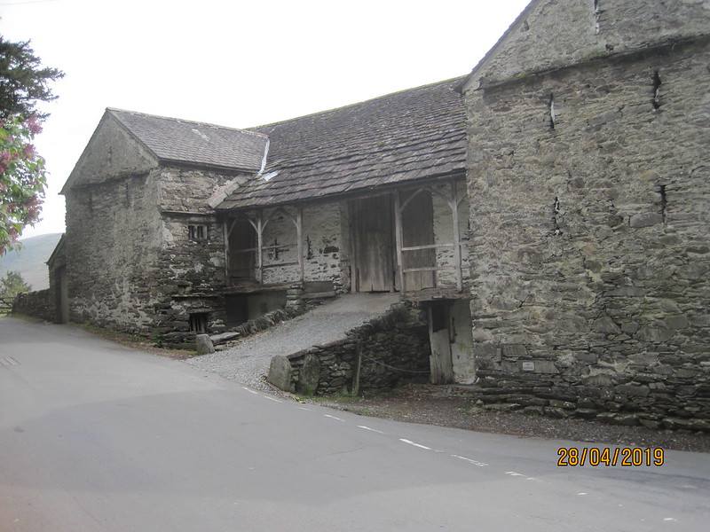
…which brought me out close to Staveley in Cartmel, a small hamlet which I’m not sure I’ve ever visited before. Which is perhaps why I’ve never heard of Millerbeck Light Railway before…

IMG_2267

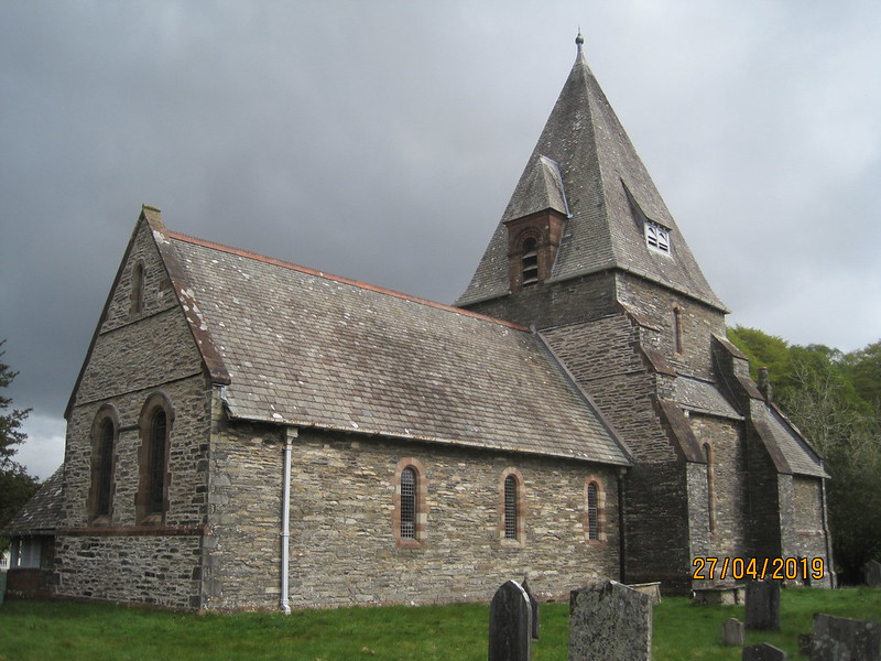
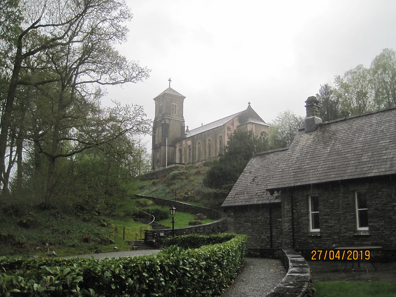
St, Mary’s church is slightly outside the village.

IMG_2268

I hoped to pop in, but found the door locked. The church was restored in 1897 by Lancaster architects Austin and Paley, whose work I seem to encounter almost everywhere I go. Apparently, there’s a listed eighteenth century stone sundial in the churchyard which I missed, so I shall have to go back. I could hardly miss the huge lychgate…

IMG_2269

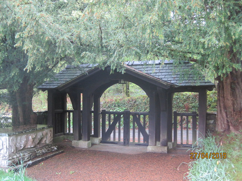
…which seemed a bit out of proportion with the modest church.

A footpath through a caravan park and then a minor road brought me to Newby Bridge. I had to cross the busy main road twice, but that didn’t prove to be as big an obstacle as I’d thought it might be.

IMG_2270

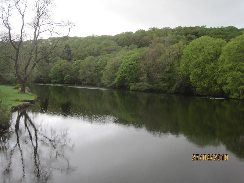
The five arch stone bridge from which Newby Bridge gets its name was built in 1651 and is really rather elegant, so I ought to have taken a picture of it. Next time.

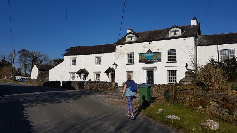
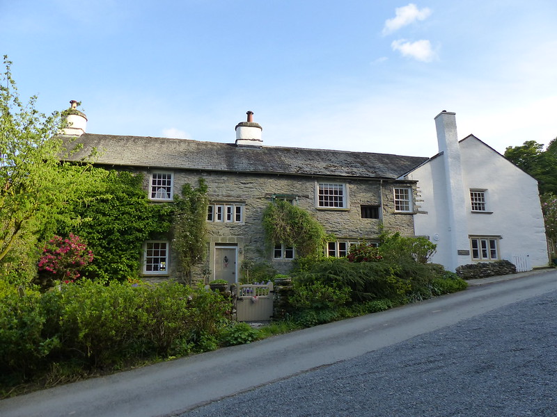
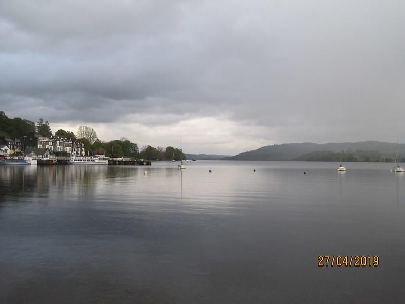
I did take a picture of the Swan Hotel from the bridge.

IMG_2272

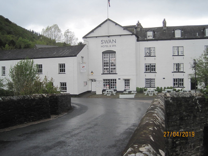
It was still early at this point – people were still eating breakfast inside.

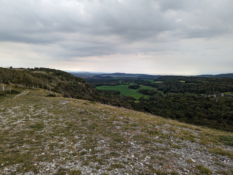
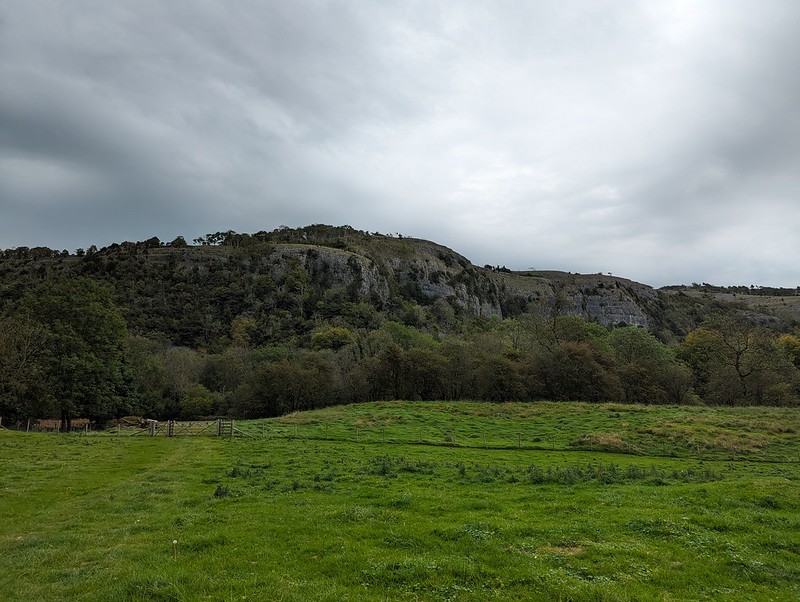
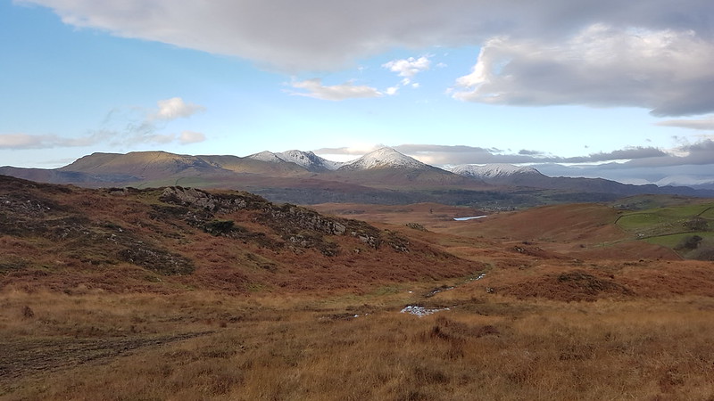
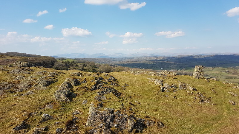
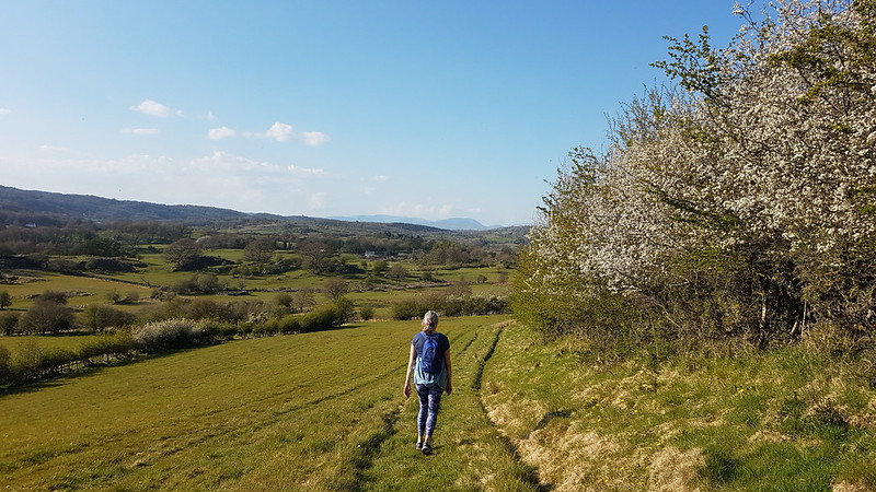
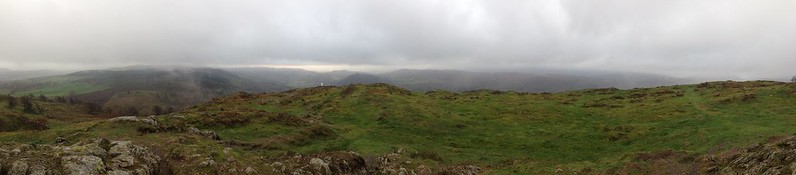
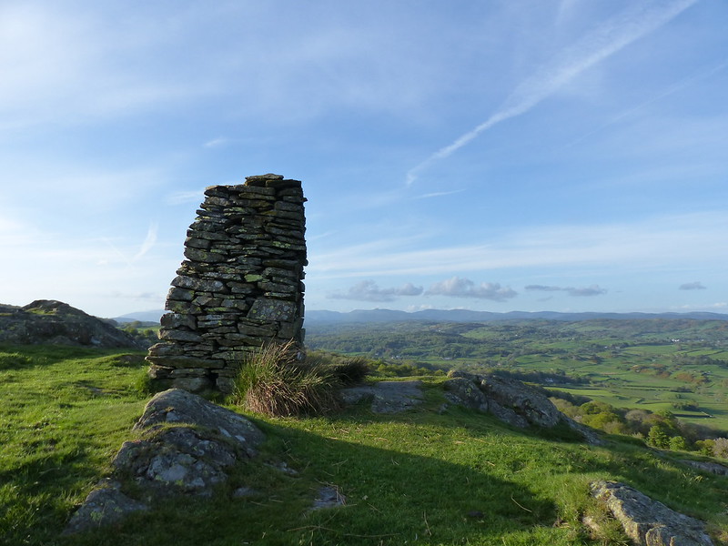
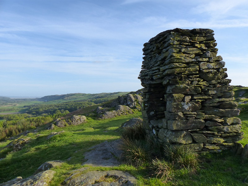
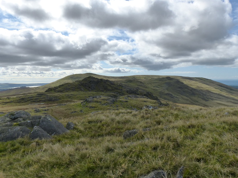
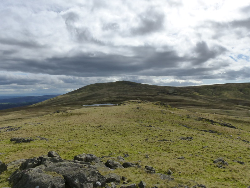
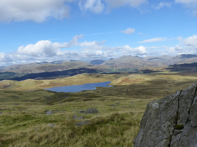
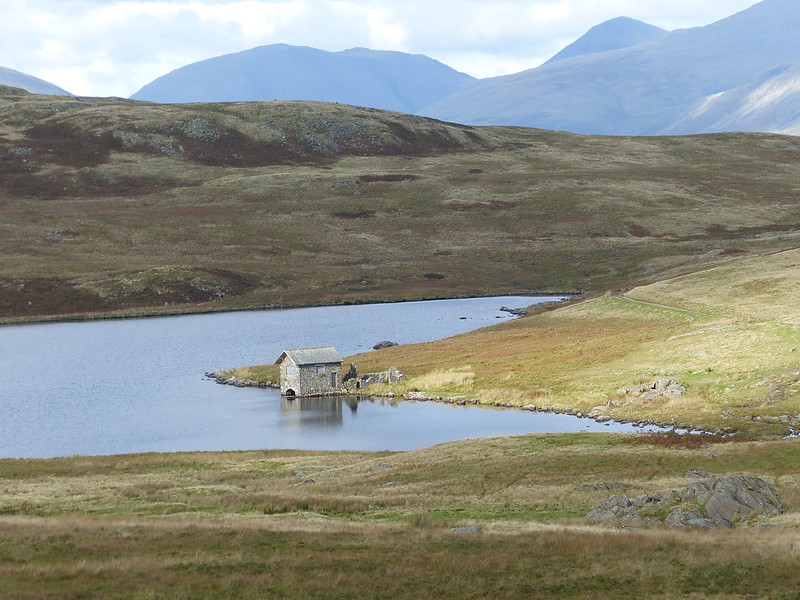
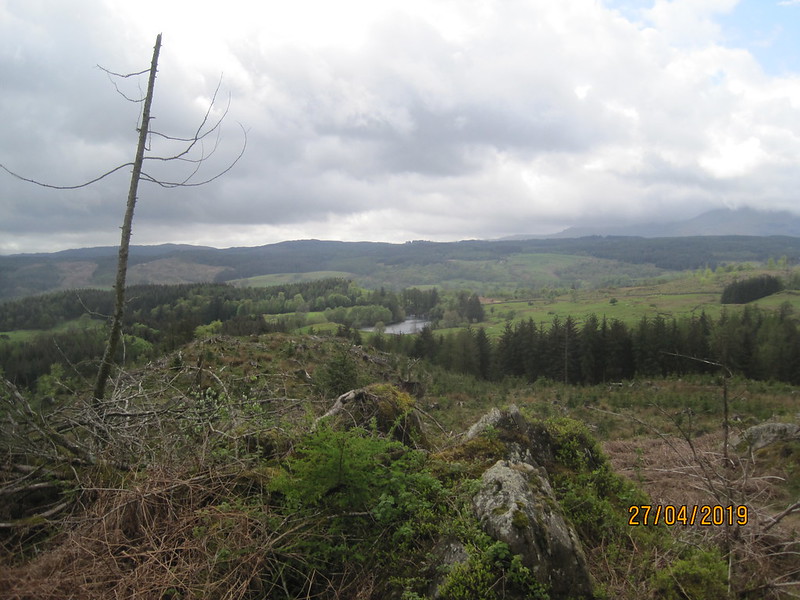
Having come this way, I now had the option to include the small hill above Newby Bridge which is Summer House Knott…

IMG_2275

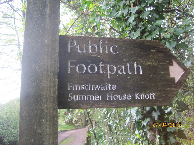
…or Water Side Knott…

IMG_2276

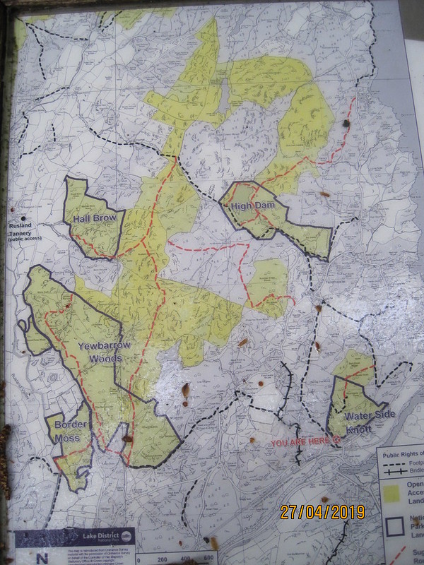
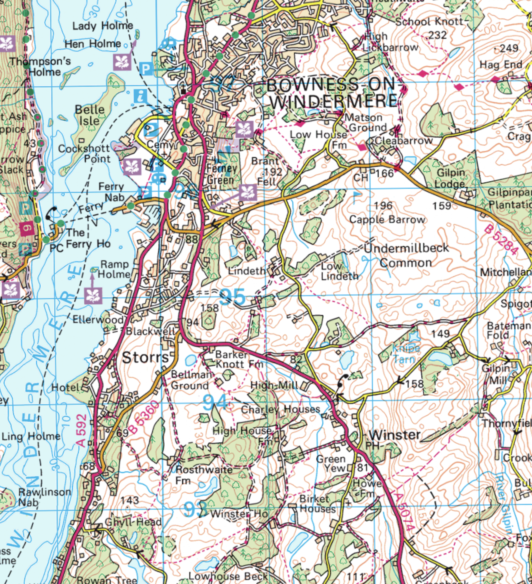
The OS map has both names. I took several photos of this map and various parts of it. It shows paths not marked on the OS map, so is very handy. I would go over the Knott, down to Finsthwaite, up to High Dam, down to the YMCA centre on the lake and then follow the lake shore path off the top of this map.

Incidentally, long-suffering readers might recognise the map since I used another photo of it to navigate on another walk in the rain, through Border Moss and Yewbarrow Woods, back in the winter.

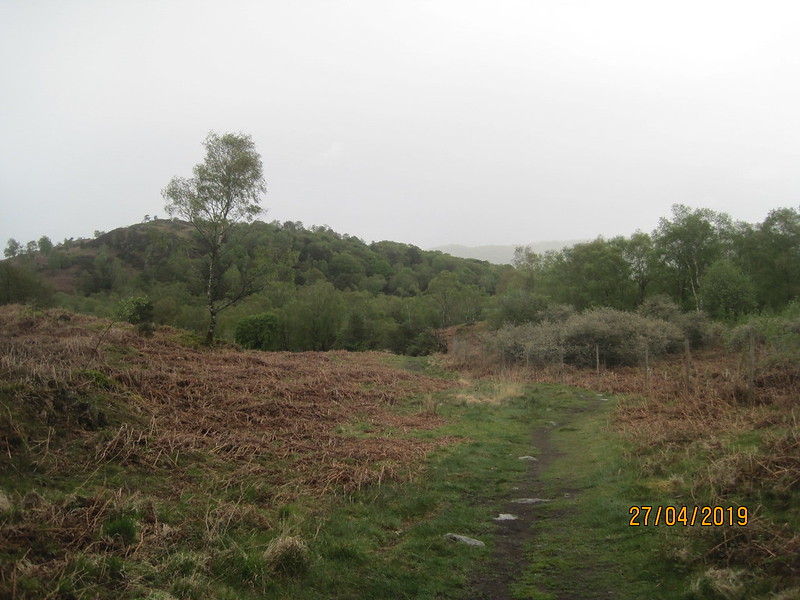
A short climb brought me to…

IMG_2281

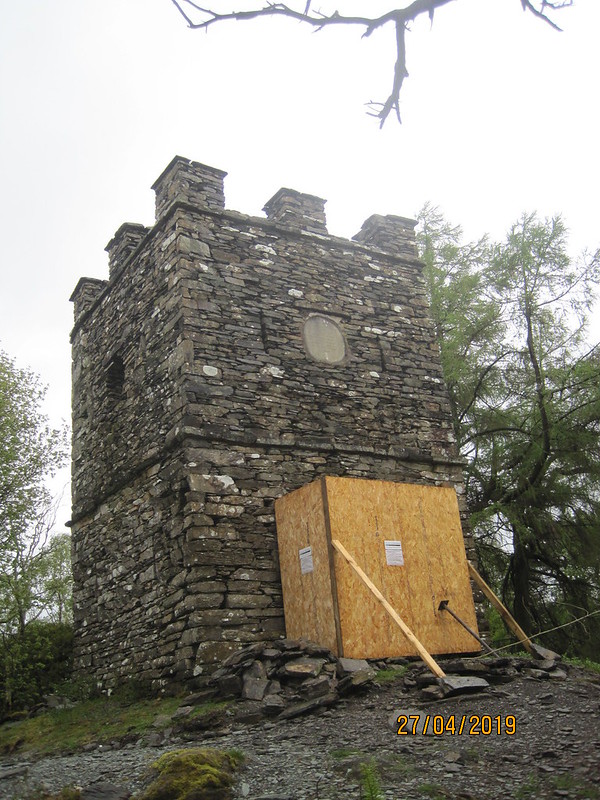
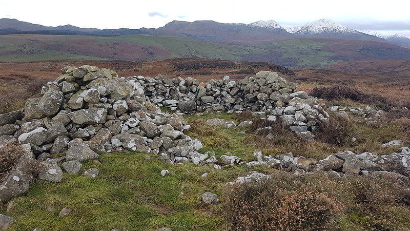
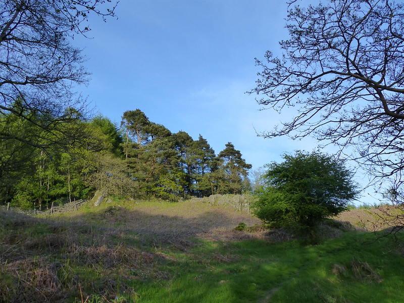
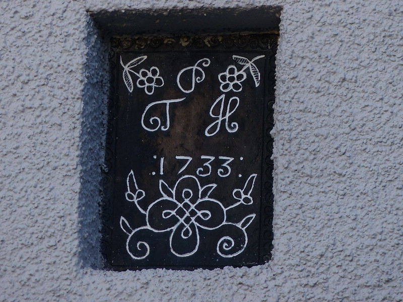
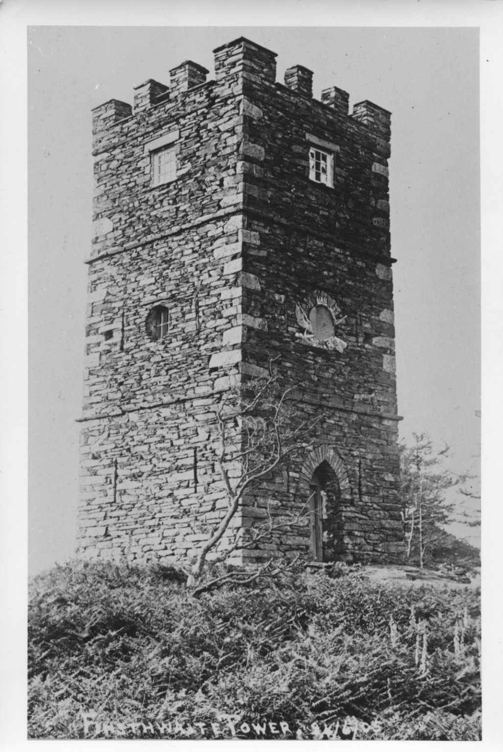
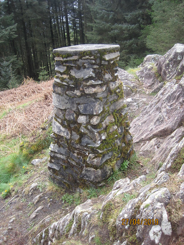
…Pennington Lodge Tower, or Finsthwaite Tower, depending on who you believe. It’s currently under repair, I think the work of the National Trust. The plaque high on the wall reads…

Erected to honour the officers, seamen and marines of the Royal Navy whose matchless conduct and irresistible valour decisively defeated the fleets of France, Spain and Holland and preserved and protected liberty and commerce 1799.

Originally it had three floors and a view, but the top floor has been removed and it is now surrounded by trees (source).

finsthwaite%20tower%202%20resize.jpg

It’s a listed building, so in theory should be being carefully preserved, but I can’t find any reference online to the repairs. The naval battles referred to, from 1797 and 1798, are apparently the Battle of St. Vincent, the Battle of Camperdown and the Battle of the Nile, decisive victories against the navies of Spain, Holland and France respectively. My knowledge of the Napoleonic wars is obviously very sketchy, since it’s only the latter, when Nelson was commanding the British Fleet, that I was aware of before. Hard to imagine now a situation where Britain could be at loggerheads simultaneously with so many of our European neighbours. Ho-hum.

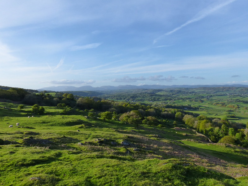
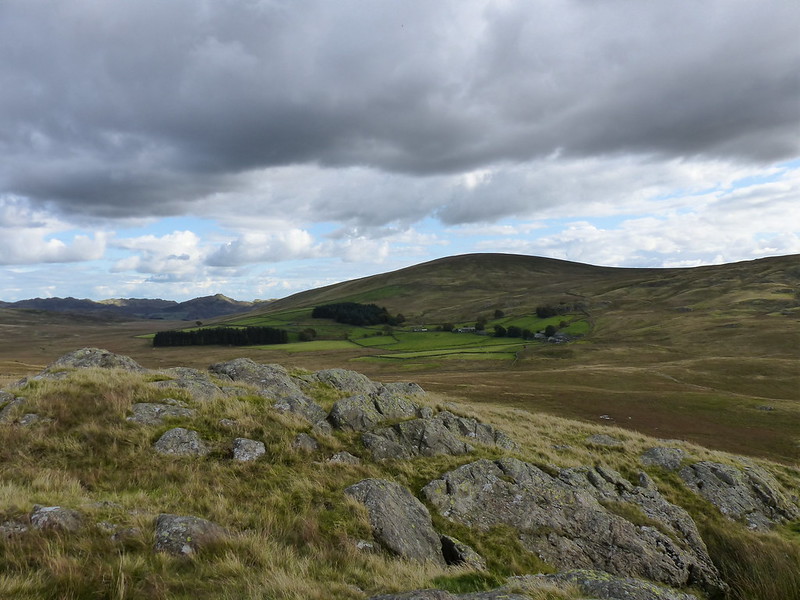
Incidentally, Summer House Knott, along with Finsthwaite Heights, is on one of Wainwright’s Outlying Fells Walks, as are Claife Heights and Latterbarrow which will appear later.

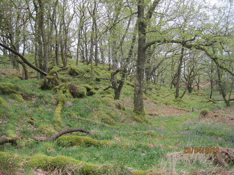
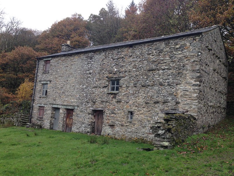
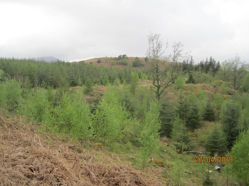
Great Knott Wood, to the north of the tower, is now owned by the Woodland Trust, who are working to restore native deciduous woods here…

IMG_2284

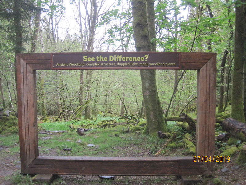
As I approached the point where the path left the wood, I came across these…

IMG_2287

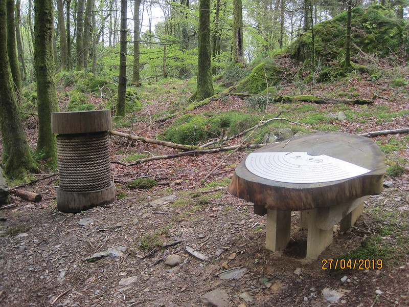
Another memorial of sorts, recording the areas industrial heritage, when it produced wooden bobbins for the Manchester cotton industry.

IMG_2286

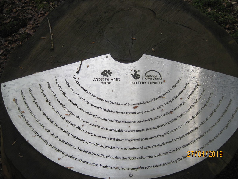
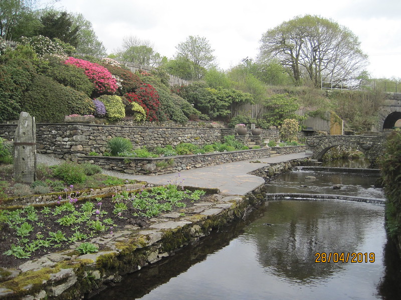
It’s many years now since I visited the bobbin mill at nearby Stott Park, but I remember it as a fascinating tour. Our guide was a former employee of the mill, when it was still  a commercial enterprise, rather than a working museum, and he had lots of interesting and some times gruesome stories to tell.
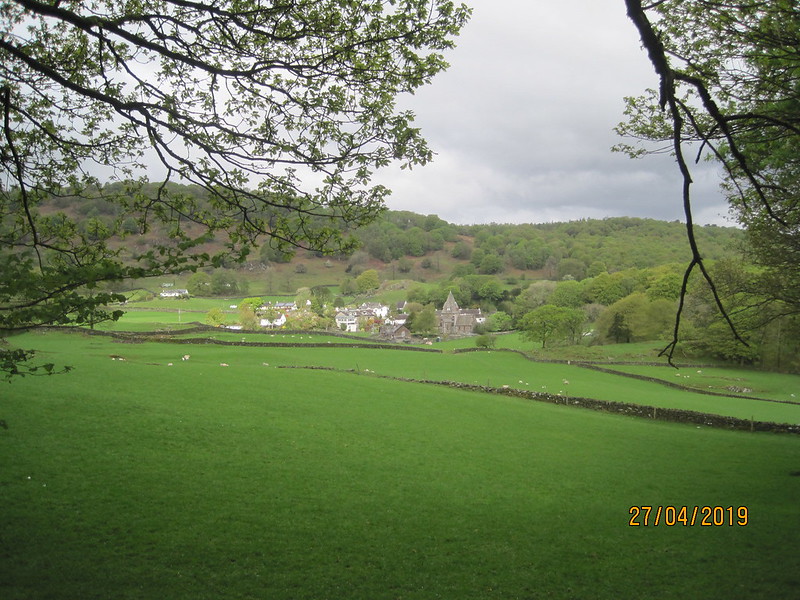
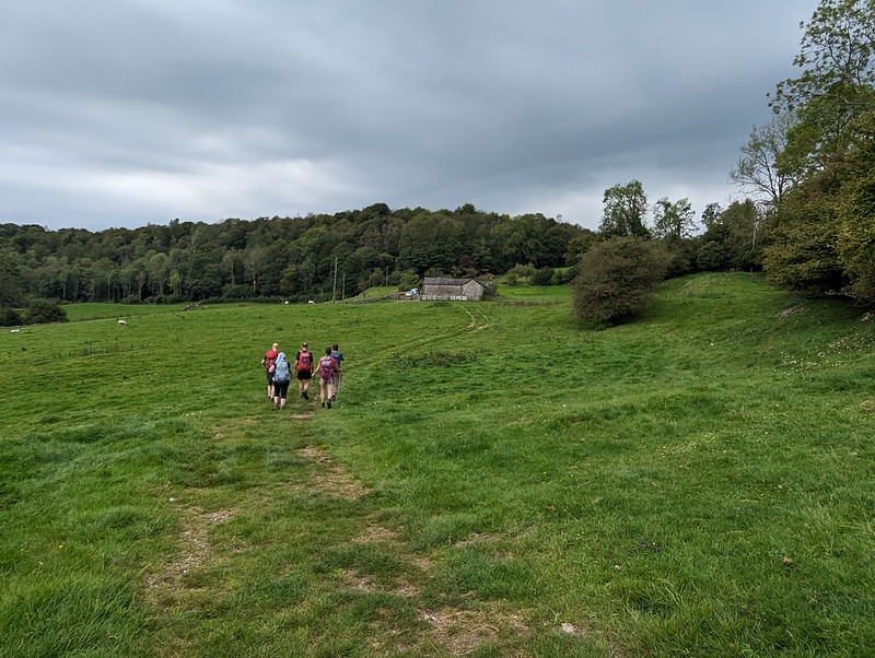
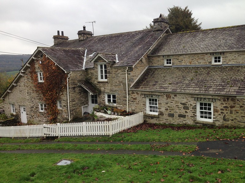
IMG_2285

Finsthwaite.

IMG_2289

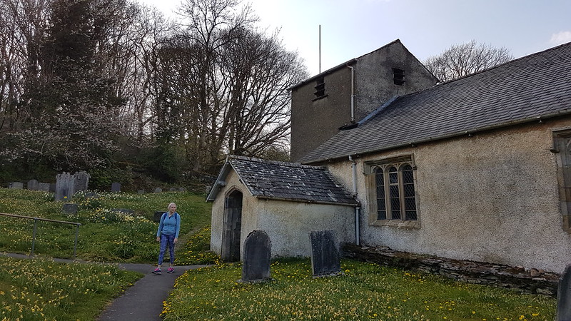
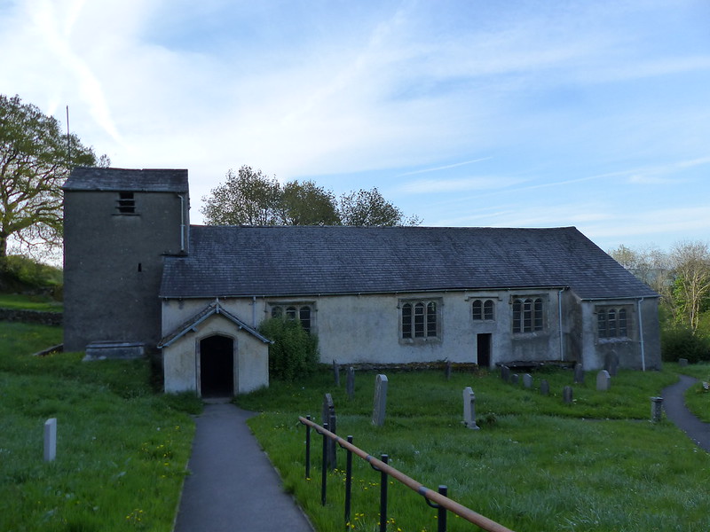
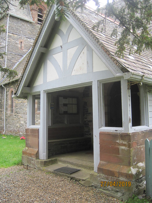
St. Peter’s Church, Finsthwaite.

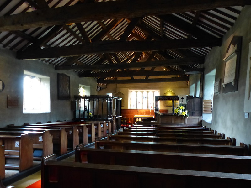
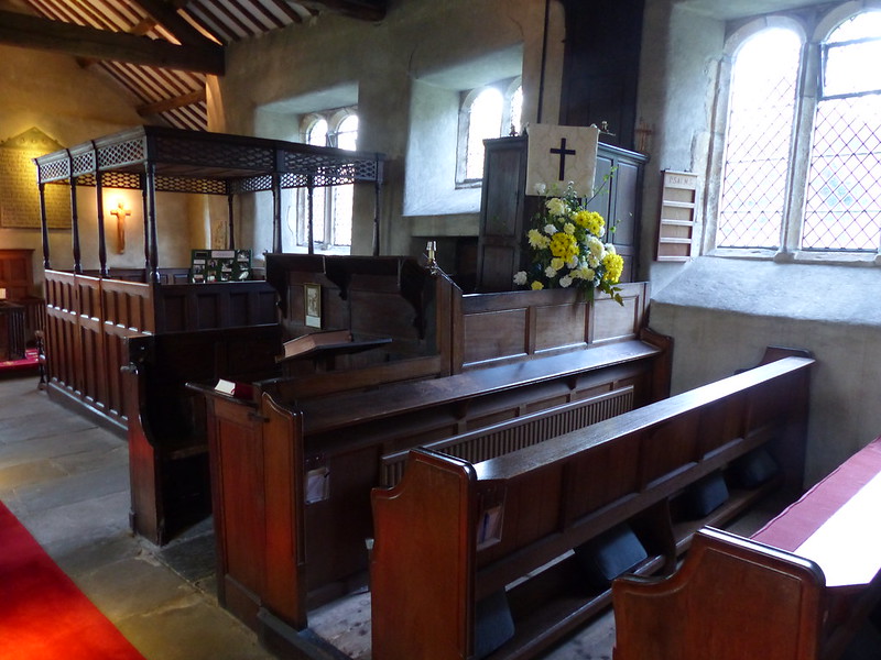
I was hoping to have a gander inside this church too, but despite signs outside saying that the church is kept open for visitors, it also seemed to be locked. Which is a shame, because I suspect the inside is well worth a look. It’s quite a recent building, the work of, you guessed it, Paley and Austin.

Since I couldn’t go inside, I sat in the porch for a moment whilst I took on some water.

IMG_2290

The weather was really beginning to brighten up at last. It hadn’t actually rained all that much to this point, but had always seemed to be on the point of drizzling. Now there was sunshine and warmth.

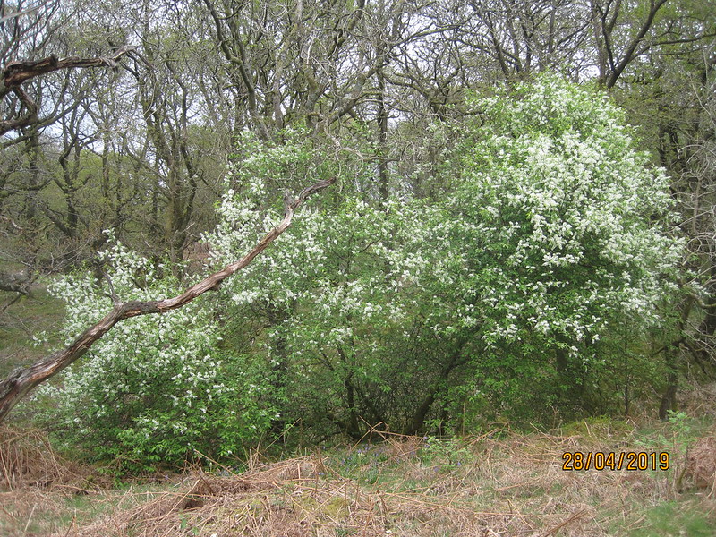
Climbing out of Finsthwaite, I was taken by this blossom covered tree…

IMG_2291

IMG_2292

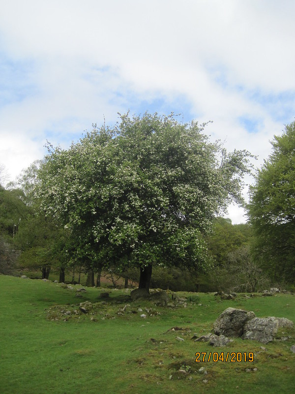
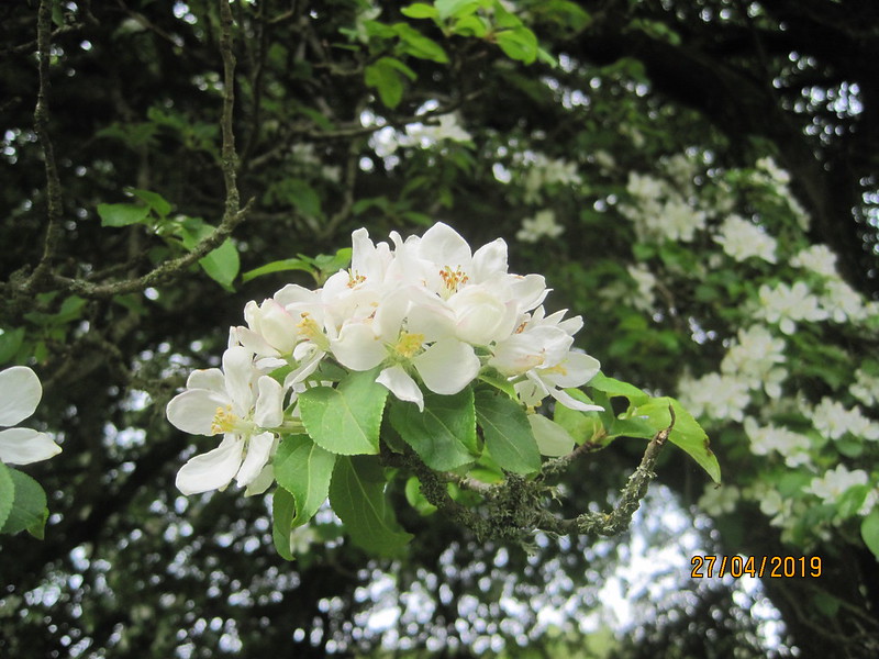
An apple tree, I suspect?

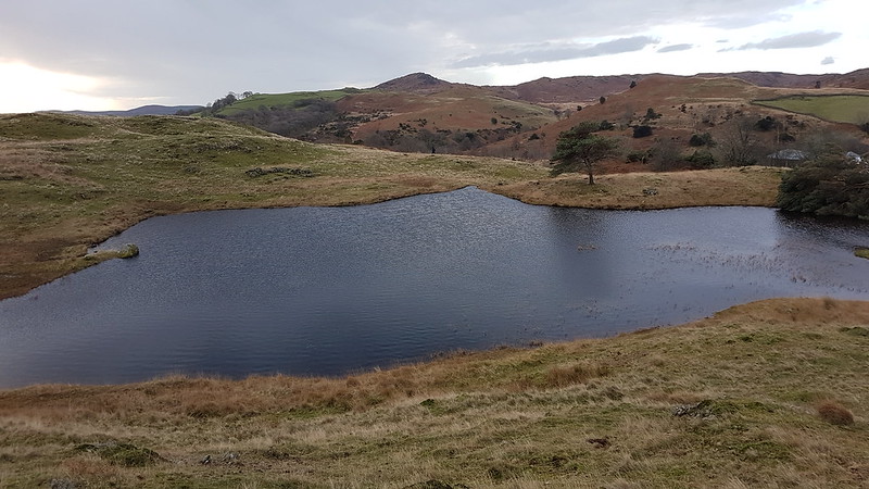
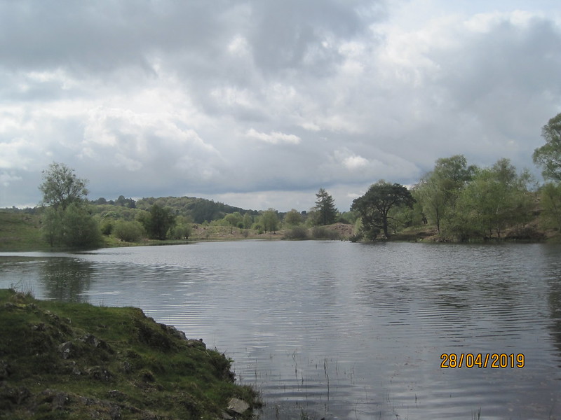
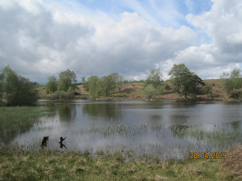
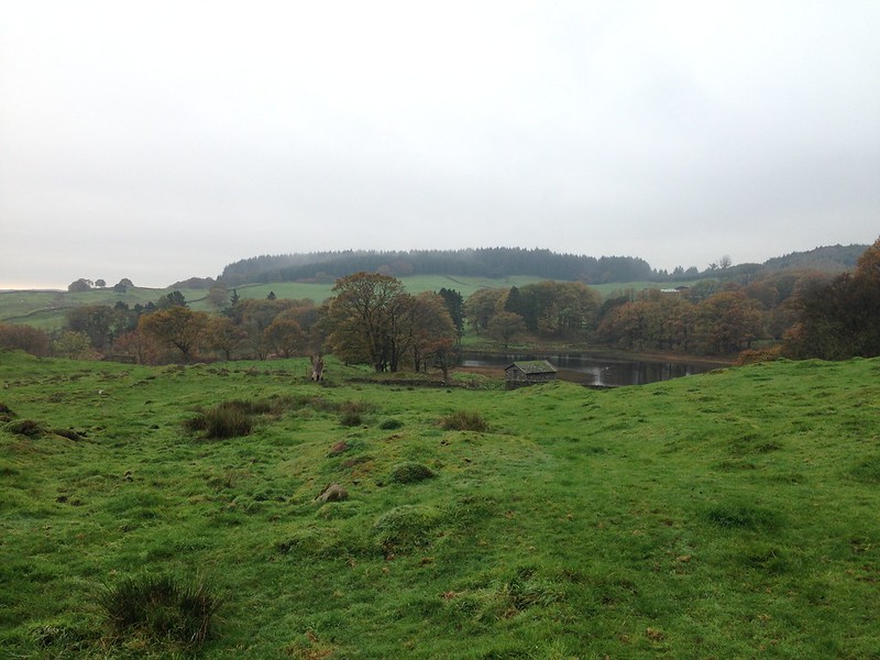
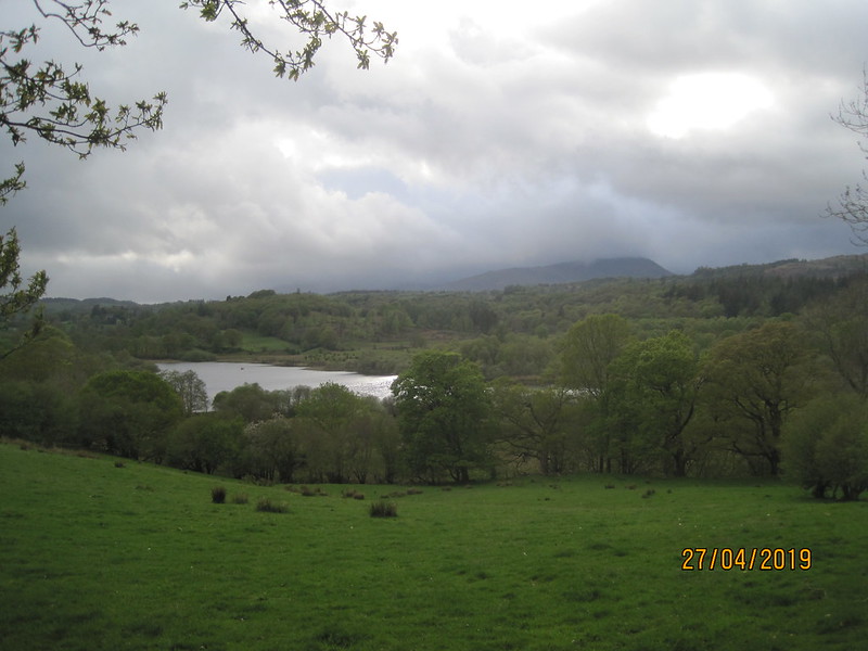
A short ascent brought me to High Dam…

IMG_2294

…where we swam a couple of times last summer.

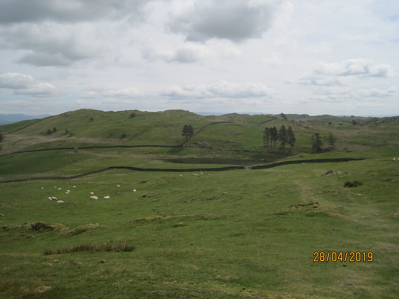
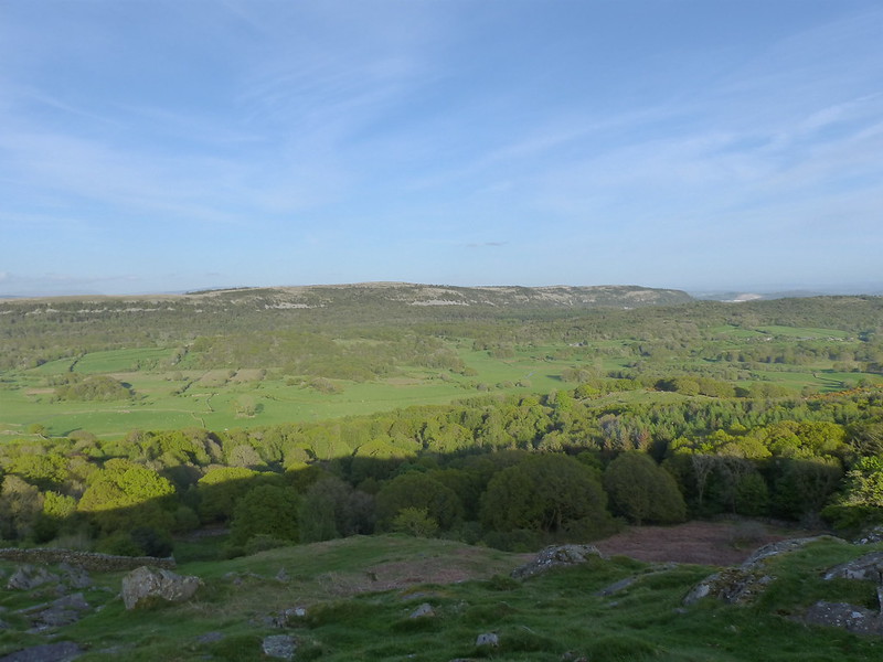
Whilst I’ve visited High Dam many times over the years, I’m not sure that I’ve ever followed this bit of path beyond the reservoir, which isn’t on my map. Nor have I climbed Stott park Heights, the high ground on the left here…

IMG_2295

…an omission I shall have to rectify another time.

The path dropped down the hillside via some deep cuttings which looked like they must have been blasted through the rock, which doesn’t make much sense on this seemingly little used track. There must be some explanation?

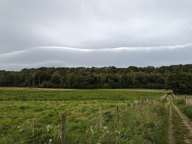
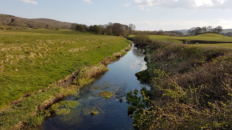
I had to walk a little way along the road, but was soon on the lake side path.

IMG_2296

I had my cag on almost immediately when, for the first time that day, the heavens really opened.

IMG_2299

In truth, the shower was short-lived, but with dark clouds scudding past and occasional further flurries of rain, I kept my coat on, probably longer than I needed to.

IMG_2302

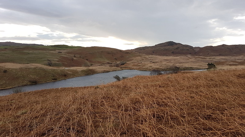
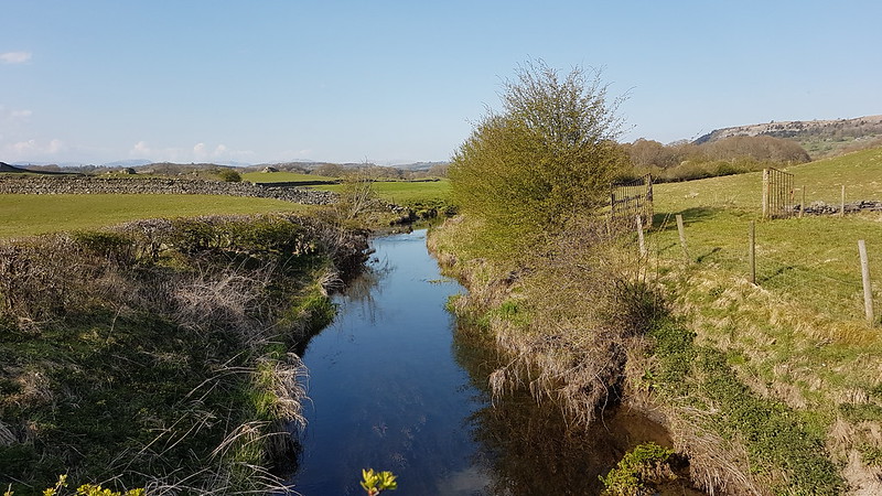
It looked like there might be a wedding party underway at Greythwaite Old Hall, and I hoped the weather would improve, both for them and for me! The path was well-marked and very easy to follow, so on the whole I wasn’t really looking at my map much. For that reason, I was quite surprised by the short sharp climb past High Cat Crag. Sadly, I immediately lost all of that height again on the minor lane which eventually took me to another lake shore path.

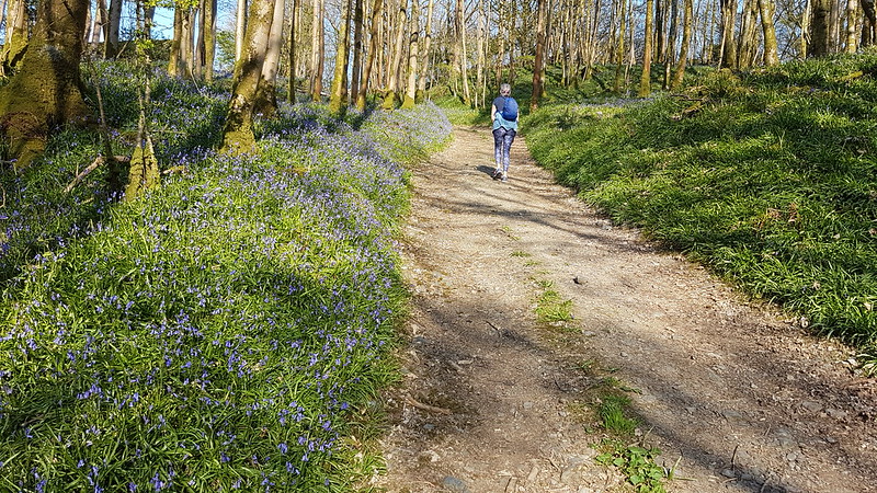
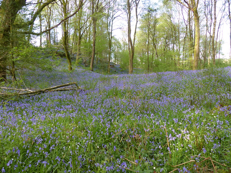
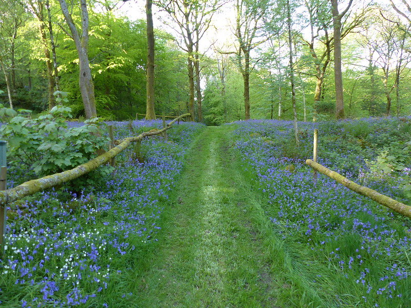
By the time I passed through these wonderful Bluebell woods at Rawlinson Nab, the rain had just about done, for now at least.

IMG_2307

I’d been debating with myself about the options for the next section. I could stick to the shore, or take any one of a number of routes across Claife Heights, the most ambitious of which would divert to take in Latterbarrow. I’d pretty much decided that if the weather looked fine I would choose the Latterbarrow option and since I had some blue sky and plenty of sunshine, I took the minor lane and then a path into Far Sawrey, rather than dropping back down to the shore.

IMG_2309

I was heading for High Pate Crag and High Blind How, but before I reached either of those I followed a slight trod leading away from the main track, which brought me to a superb viewpoint.

IMG_2314

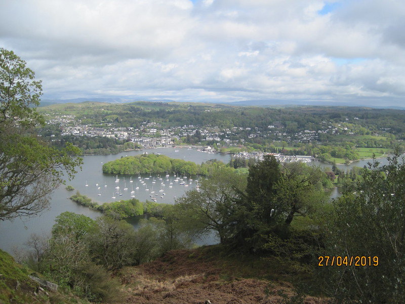
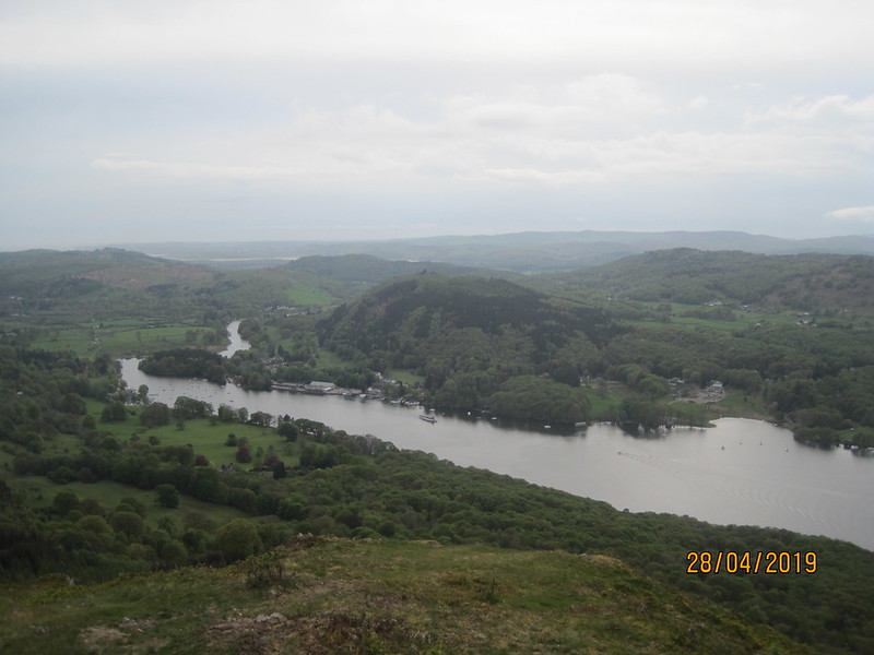
Belle Isle and Bowness-on-Windermere.

I’ve walked in Claife Heights many times before, but have always thought that the one downside of those walks was the frustrating lack of views, so this was a real revelation. I’d been walking for quite some time without much rest, so decided to sit here a while and eat the couple of apples I had in my bag.

IMG_2315

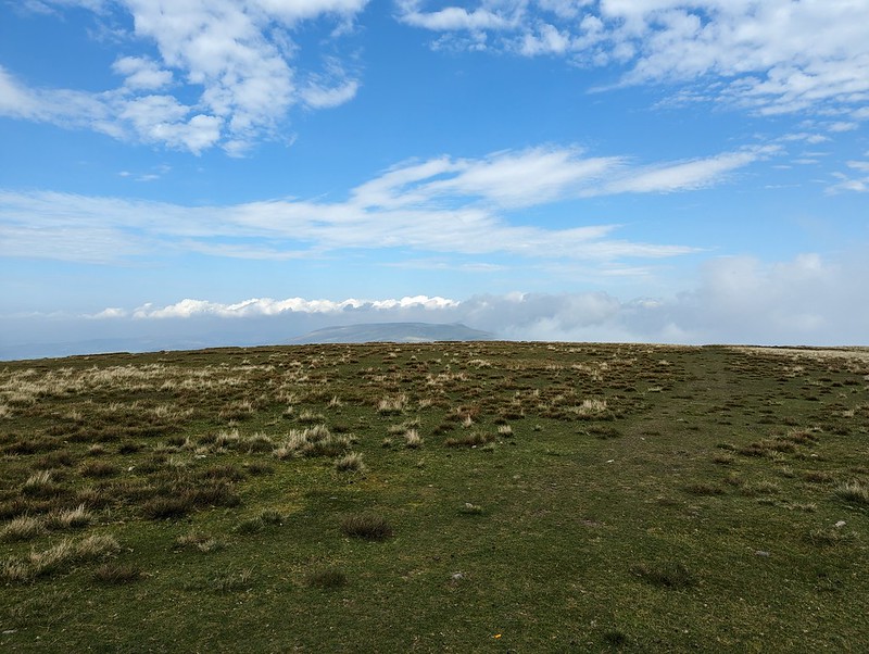
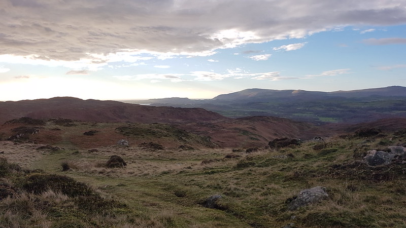
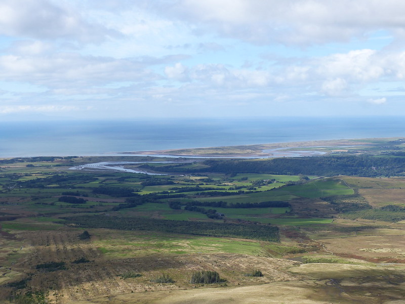
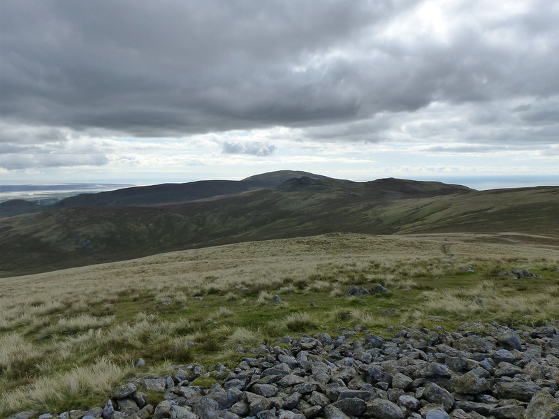
The weather still looked quite bleak in the hills around the head of the lake.

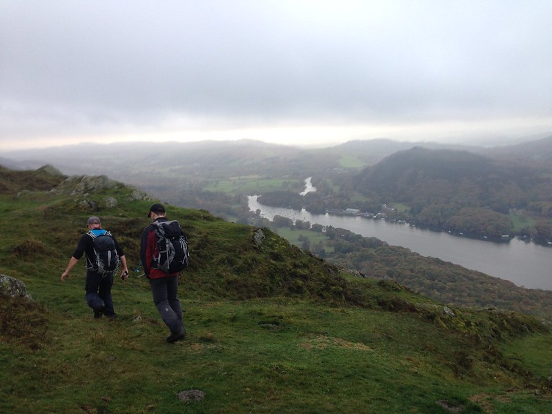
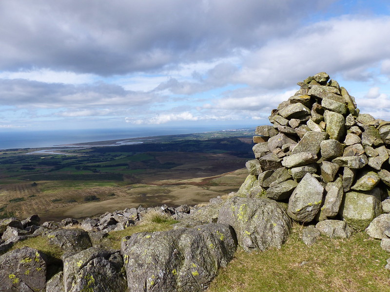
Whilst Gummer How and the southern end of the lake looked a satisfyingly long way away…

IMG_2320

A large area of trees around High Pate Crag had been felled. There ought to have been views of the Coniston Fells, but they had been swallowed up by clouds.

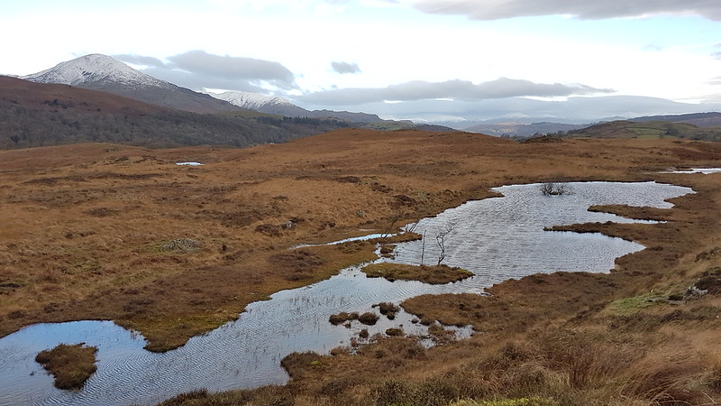
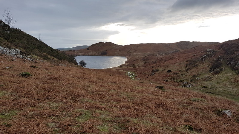
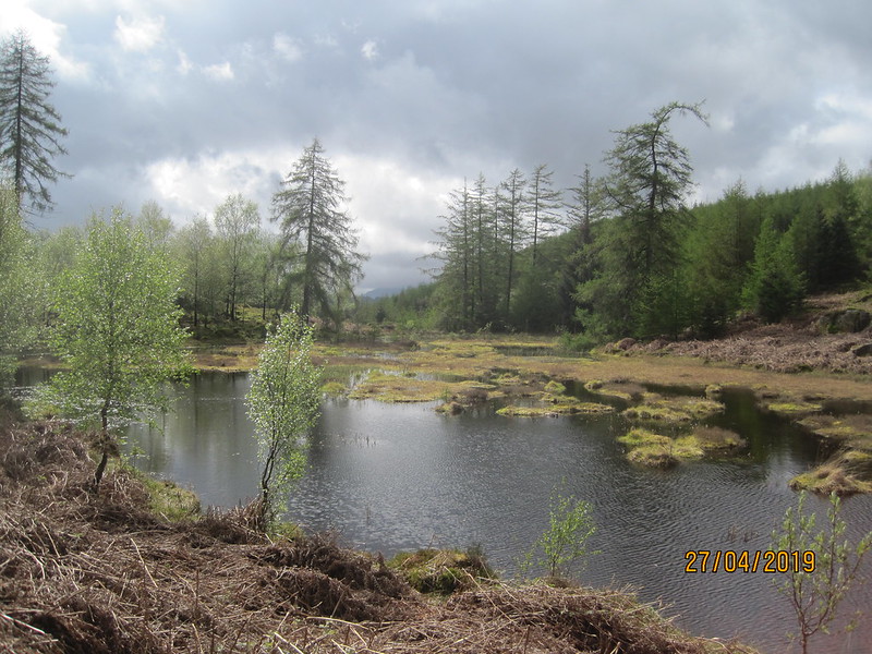
The area abounds with tarns. I’m guessing that this one in the distance…

IMG_2322

…with trees around it’s western shore, is Moss Eccles Tarn, once owned by Beatrix Potter and which I passed on a previous Calife Heights wander.

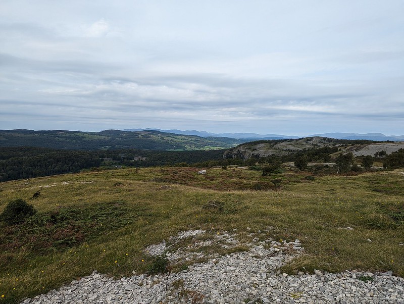
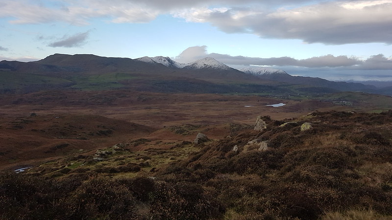
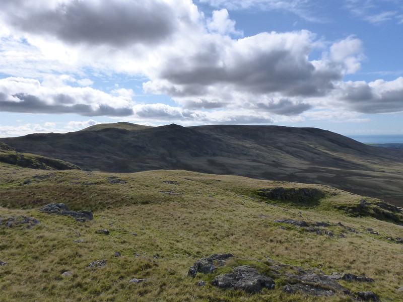
High Pate Crag, and the area around it, had good views across to the Langdale Pikes.

IMG_2323

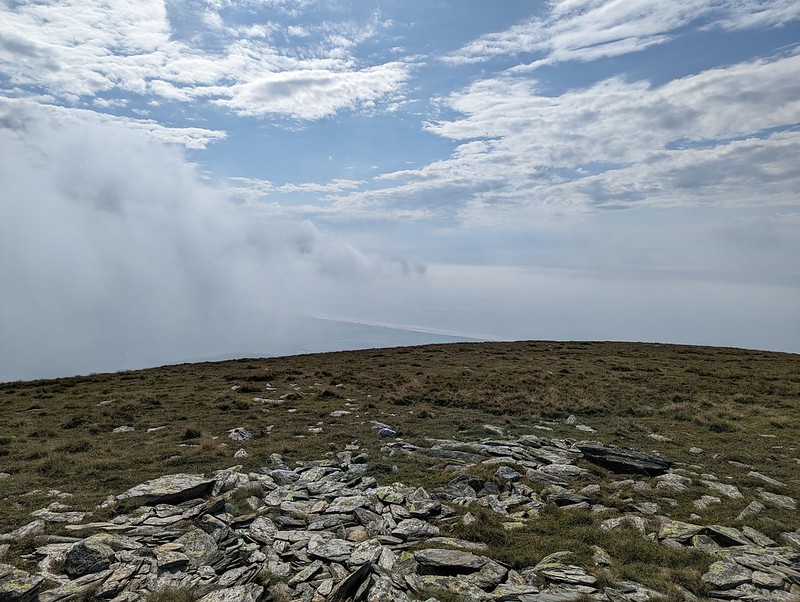
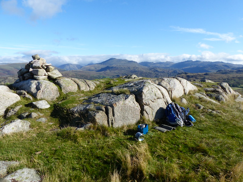
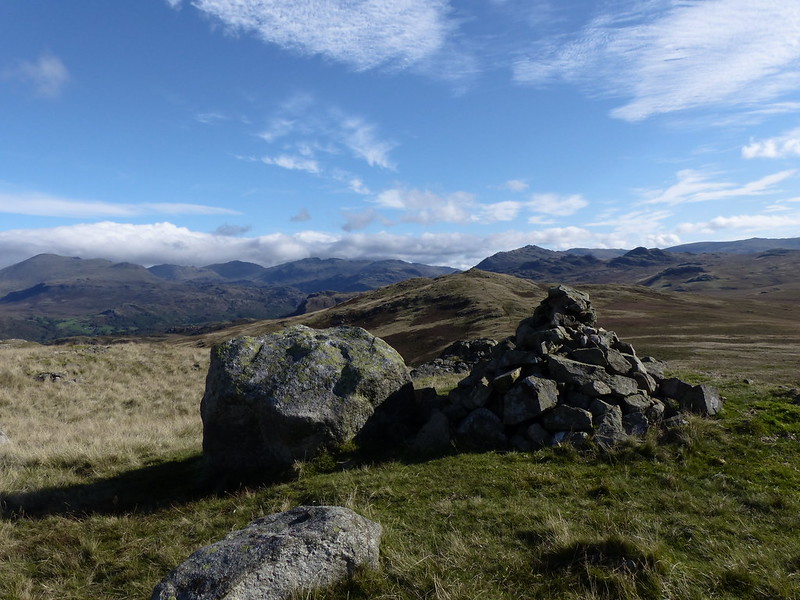
Whilst High Blind How turned out to be appropriately named, since the trig pillar there is completely surrounded by mature conifers and has no view at all…

IMG_2324

At 270 metres, this was the highest point of the day.

IMG_2326

Unnamed tarn near High Blind How.

IMG_2328

Telephone mast? And the hills north of Ambleside.

IMG_2333

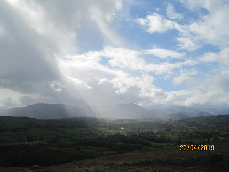
I was heading now for Latterbarrow, but the weather had finally caught up with me again and I had more rain.

IMG_2335

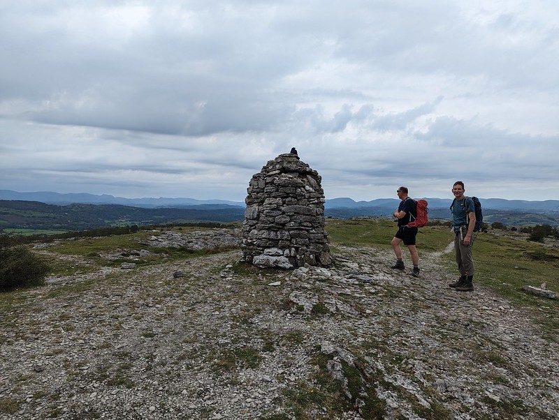
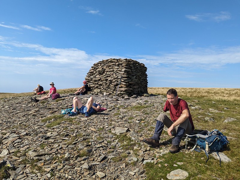
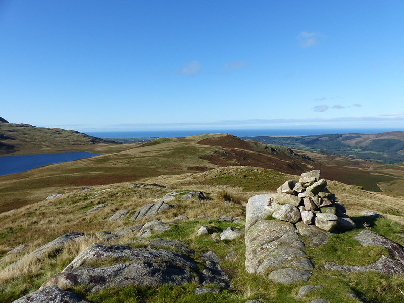
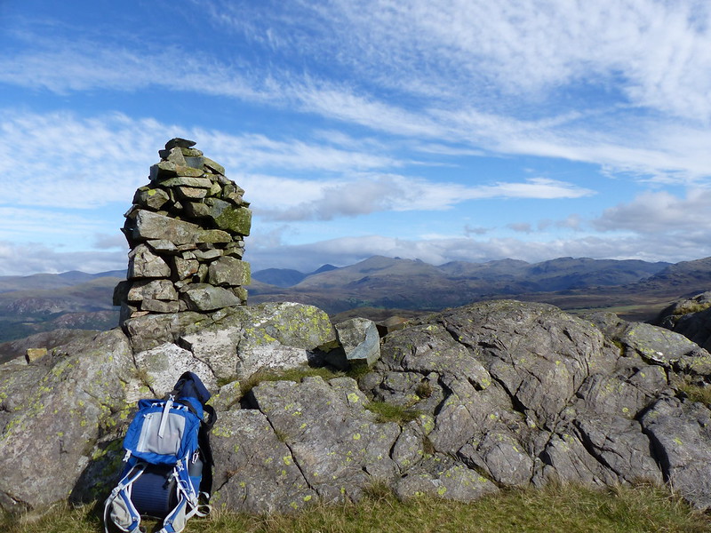
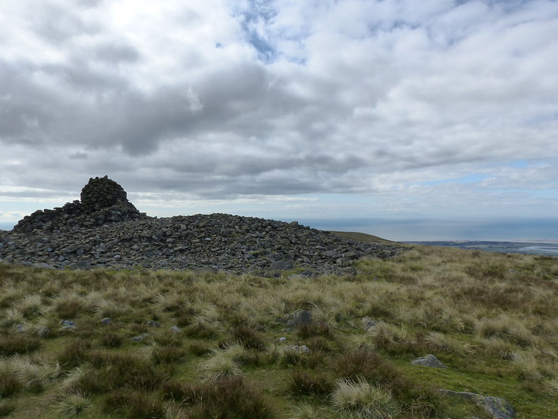
Latterbarrow, with a prominent cairn on top.

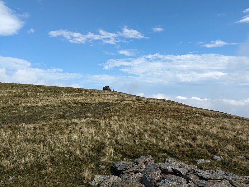
Fortunately, it stopped pretty much as I reached the top…

IMG_2347

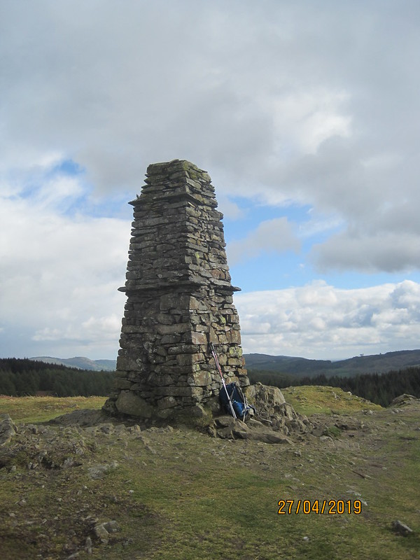
I stopped again here, for another drink and to take lots of photos.

IMG_2343

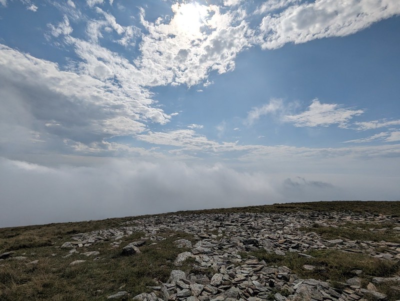
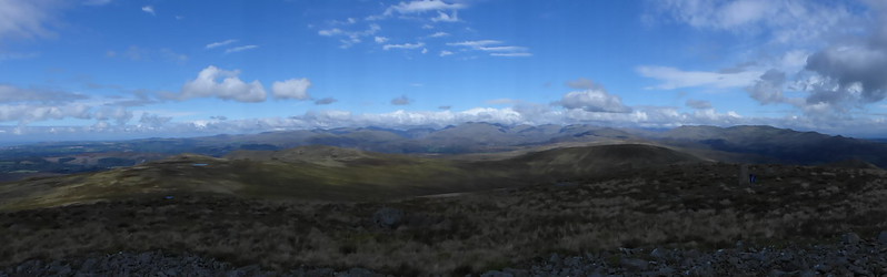
The views were changing all the time, with clouds and showers constantly on the move.

IMG_2354

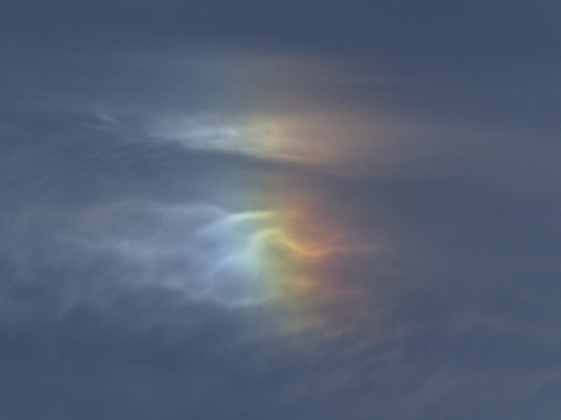
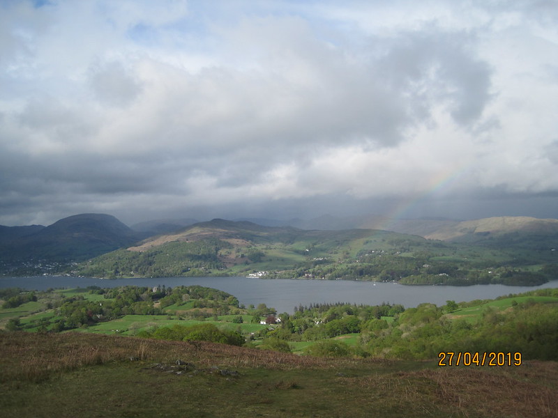
I was even treated to a bit of a rainbow over the lake…

IMG_2362

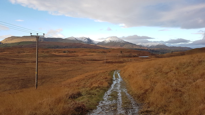
Paths exist here which aren’t on my old map. They were evident on the ground and I trusted that, since they seemed to be going in a convenient direction, it would be a good idea to follow them.

IMG_2368

Blelham Tarn with Black Fell behind.

The paths took me down to High Wray, from where I was anticipating a long road walk.

IMG_2373

Looking back to Blelham Tarn and Latterbarrow.

However, new paths…

IMG_2374

Have been created which either shadow the road, or, in one section, leave it altogether.

IMG_2376

The weather was looking decidedly grim again.

In Pull Woods…

IMG_2377

..it had started to rain a little and it soon started to absolutely tip it down.

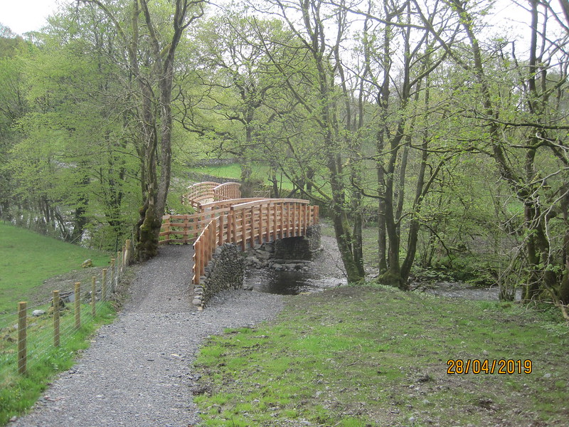
It continued to rain as I diverted to cross the river Brathay by the footbridge opposite…

IMG_2379

Holy Trinity Church, Brathay.

Another unusual looking church. Having come out of my way to see the church, I decided against climbing the hill to see if the church was open. It was getting late and was still chucking it down.

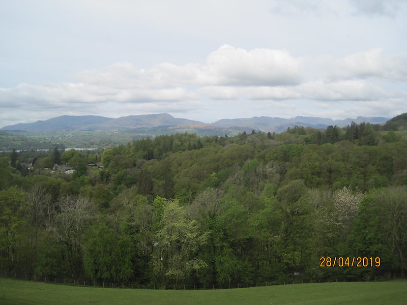
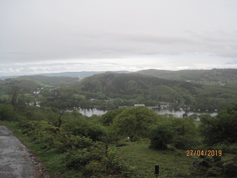
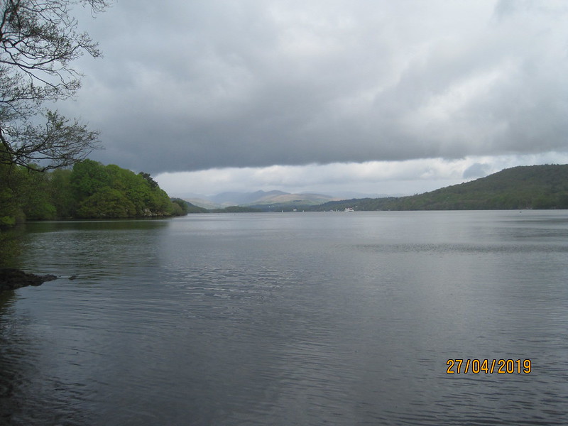
Fortunately, by the time I reached Ambleside it had finally stopped, so I could enjoy the view down the lake before hobbling to the Youth Hostel, seen on the left here…

IMG_2384

…for a shower, some dry gear, food and a couple of hard earned beers.

Duncan Turner gives this side of the lake as 13¾ miles with 1816′ of ascent, but I tacked on extra bits around the southern end of the lake, over Summer House Knott and over High Blind How and Latterbarrow, which made it, well…quite a long way.

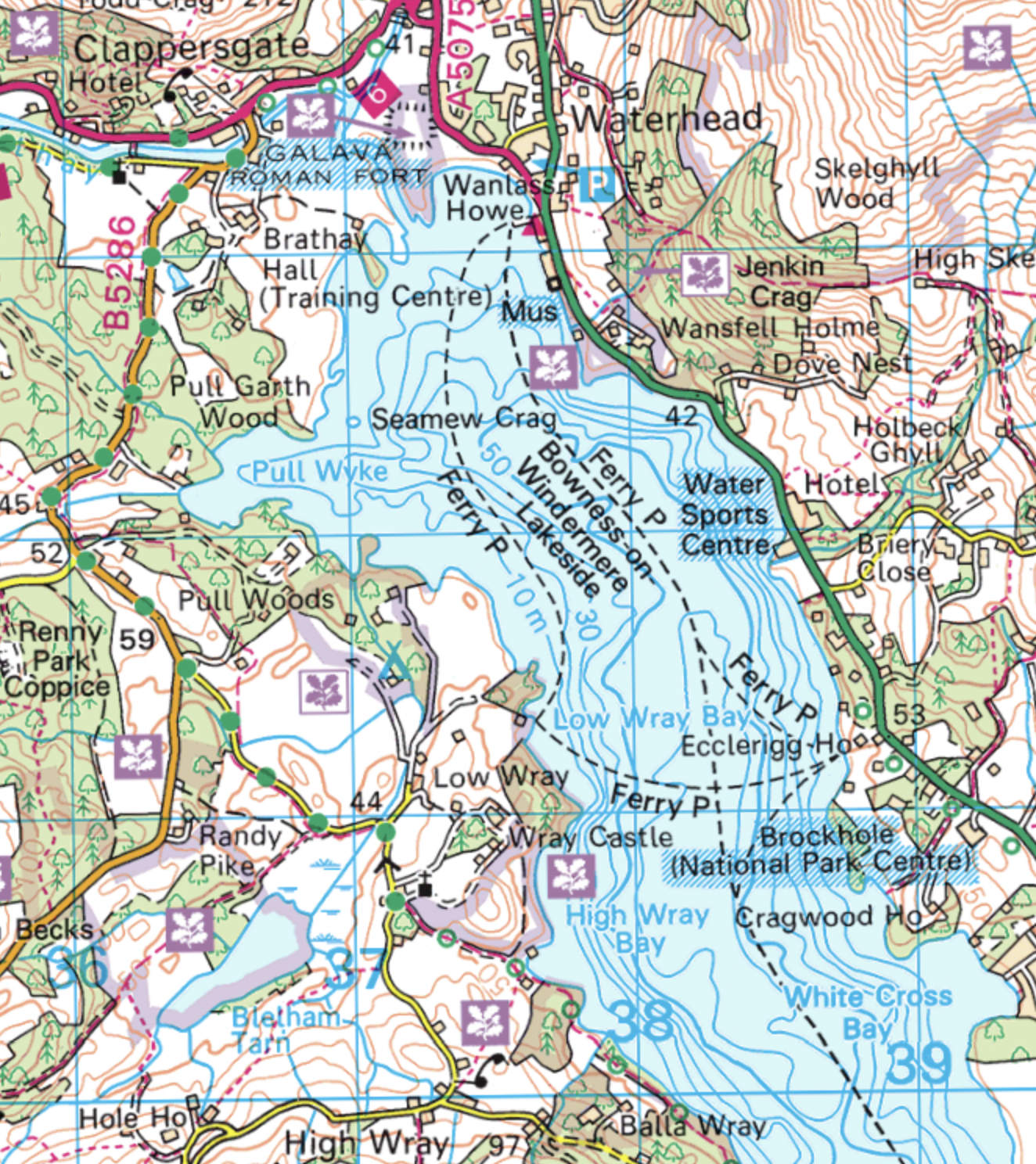
Maps: Start at the bottom and work up! (Some of the paths are missing from this 1:50,000. You really need OL7 to track the route)

Screenshot 2019-05-27 at 22.15.40Screenshot 2019-05-27 at 22.15.00Screenshot 2019-05-27 at 22.13.40Screenshot 2019-05-27 at 22.12.00

Technical notes:

The photos were taken on an old (in digital camera terms) Fujifilm camera, chosen because it’s very compact and because my Panasonic is too bulky in my rucksack if I’m carrying overnight gear.

There’s no Google-Earth map of my route because the app decided, as it does from time to time, that I had logged out, and I couldn’t log back in again because I don’t use mobile data. The next day it worked fine, except that somewhere on the drive home the data for the day disappeared into the ether.


Round Windermere I

Best Little Retread?

Sow How Tarn – Middle Tarn – Heights Cottage – Raven’s Barrow – St. Anthony’s Cartmel Fell – The Mason’s Arms – Whinny Knott – Birch Fell Forest – Gummer’s How.

image

Sow How Tarn.

Heading towards the end of October now and it’s the start of our half-term. What better way to begin a holiday than with another visit from Andy and family? They were up to drag TJF out to celebrate his birthday.

On the Saturday afternoon, despite some dodgy weather, Andy was keen to get out to climb Gummer’s How. He assures me that this preceded his relatively newfound obsession with Marilyn bagging. Maybe the prospect of a visit to the nearby Mason’s Arms played a part in his enthusiasm? TBF, TJF and myself were daft enough to join him for a wander in the damp and the drizzle.

image

Height’s Cottage – once a Friends’ Meeting House.

image

Panorama from Raven’s Barrow.

image

Pool Garth.

image

We sheltered under these large brollies for lunch at the Mason’s Arms. I had a salad which featured chorizo quite prominently and was very tasty.

Andy is a bit out of focus here…

image

…possibly something to do with the Raspberry beer we were both enjoying?

image

After our stop at the pub, the climb up Gummer’s How felt quite stiff. At first it seemed we wouldn’t be rewarded with any kind of view.

image

But eventually the cloud lifted at least a little.

image

Gummer How pano.

image

Windermere.

image

Windermere and Finsthwaite Fell.

It was a shame about the weather, but I think we made the most of a dreary day. This is a great walk for that purpose, or for a half day in nicer conditions. I did almost exactly this walk, but in reverse, with MM and Dr F a few years ago. Gummer How, Raven’s Barrow and St. Anthony’s have all featured on the blog quite a few times over the years. There’s a search tool hidden away in the top right hand corner if you want to know more.

image_thumb.png

This is the map I used for my post back in 2011, which includes a diversion in search of the summit of Birch Fell via an entirely spurious pair of very straight lines; in reality we were slaloming between densely planted conifers. Otherwise, I think that this is reasonably accurate.

Screenshot 2018-12-30 at 21.51.24.png

In 2011, MM’s GPS gave this route as 10km. Mapmywalk tells me that it was 11.58km. I prefer to believe the latter, but who knows? Andy’s, far superior, account of the day is here.

Best Little Retread?

A Winster Valley Bluebell Walk.

Witherslack Hall – Lawns Wood – Knot Wood – Low Low Wood – River Winster – Stang Hill – Cow Head Wood – Way Beck – Crag Wood – Thorphinsty Hall – Low Loft Wood – Little Thorphinsty – Spannel Beck – Gateside Plantation – Rankthorns Plantation – Raven’s Barrow – Cartmell Fell Church – Hodge Hill Hall – Lobby Bridge – Broomer Dale – Coppy Beck – Pool Bank – Low Park Wood – Witherslack Hall.

Featuring: many wildflowers – fine old buildings – a sundog – a raptor attack – an ascent to a viewpoint – a tiny church – stained glass.

Make a cup-of-tea, it’s going to be a long one.

P1180547

Whitbarrow.

It’s that wonderful time of year again, when the evenings are long, and even sometimes sunny, and my post-work walks can be further afield and longer than they are during the rest of the year.

On this evening, I parked in a convenient little off-road spot, close to Whitbarrow and Witherslack Hall. I wouldn’t be climbing Whitbarrow, but heading the other way, across the Winster Valley, where I remembered from previous trips, years ago, woods that would be brimful of Bluebells at this time of year.

P1180551

Witherslack Hall and Witherslack Hall Farm (an equestrian centre).

P1180552

Witherslack Hall. Built in 1874 for the Earl of Derby.

The path took me into Lawns Wood, where there were some Bluebells, but not in great numbers.

P1180557

The path through Lawns Wood.

P1180553

Unfurling ferns.

P1180555

Hoverfly.

Near the edge of the wood though, the path was lined with that other great spring carpet-forming  flower – Ramsons, or Wild Garlic.

P1180559

P1180560

The verges on the lane I soon reached, on the far-side of the wood, were rich in a variety of spring flowers. Here’s a sample of some of them…

P1180561

Stitchwort.

P1180562

Water Avens.

P1180563

Jack-by-the-hedge.

P1180564

Summer Snowflake.

This is a new flower to me, but the striking similarity of the flowers to Snowdrops made it relatively easy to find in ‘The Wild Flower Key’ and then, once I had a name to put to it, to check on the very comprehensive wildflowerfinder website. I get the impression that this is a plant more often found in the south of England and I wonder whether these might have seeded from a local garden.

I often tell my students that one of the things I love about mathematics is that there are always new things for me to learn*; usually after one of them has asked me an awkward question to which I don’t know the answer, or has just solved a problem in a novel way, or had some insight which is either genuinely new to me, or at least is sufficiently obscure for me to have forgotten about it.

I feel much the same way about the flora and fauna, geology, weather phenomena and local history which I encounter on my walks: there’s always something new to see, or to learn about, or at least to ponder on.

P1180565

Low Low Wood.

Judging from the OS map, this farmhouse is genuinely called Low Low Wood and further north can be found Middle Low Wood and, better yet, High Low Wood. You couldn’t make it up! Although, having said that, Low Wood, or rather Lowood, has pedigree as a name in English Literature having been the name of the squalid school in Jane Eyre. (A photo of the actual model for that fictional school can be found at the top of this post.)

P1180567

I’ve been watching for the emergence of oak and ash leaves this year, so that I can check the validity of the old saw…

“Oak before Ash, we’re in for a splash, Ash before Oak, we’ll have a soak.”

It’s been pretty clear that, on the whole, oak leaves have been emerging earlier than ash. So does that mean that we’re in for a hot, dry summer? Well, since the beginning of May, the weather has been unusually fine; in fact, last night I overheard a conversation in which a chap reported that, in fifteen years of living in the North-West, this had been the best weather he had ever experienced+.

Sadly, it seems that Oak leaves usually emerge before Ash, although there does appear to be some correlation between warm springs and the early arrival of Oak foliage.

P1180568

The Winster Valley and Cartmel Fell.

P1180571

The River Winster.

The map doesn’t indicate a bridge over the river, but I had a feeling that I’d crossed a bridge here in the past and, fortunately, there was a bridge.

The woods of the western side of the Winster Valley, on the slopes of Cartmel Fell, did not disappoint: they were every bit as crammed full of Bluebells as I’d hoped.

P1180579

Cow Head Wood.

I took no end of photos, but, in honesty, they are all a bit of a letdown. There’s an amazing intensity in the colour of a wood carpeted with Bluebells; a smokey, purple-blue which my photos just don’t replicate. It’s always the way.

P1180581

What the photos also lack is the heady scent of a mass of Bluebells at the end of a warm, sunny day.

P1180582

P1180583

P1180588

Welsh Poppies.

P1180600

A mown path through the woods!

P1180601

Thorphinsty Hall.

Glorious old buildings litter this area. Thorphinsty hall is a Grade II listed buildings and the two cottages and barn nearby are also listed. Now that I know about the Historic England website (thanks Peter!), I can always find reliable, if somewhat dry, details about old buildings like this one. Not that I always understand what I’m reading. Thorphinsty Hall, for example, has a ‘catslide roof’ and a ‘heck post’#. The lintel over the door is marked 1708, but the according to Historic England the building is ‘probably earlier’.

P1180609

A parhelion or sundog.

In Gateside Plantation I watched a Buzzard land in a nearby tree and then begin to screech in a way which is becoming familiar. I had a fair idea what was coming.

P1180612

This time, I would hold my nerve and get a prey’s-eye view of a stooping raptor.

P1180613

Well, I tried…

P1180615

It was moving pretty fast and and I already had the zoom lens fully extended, which probably wasn’t ideal. Presumably, there was a nest nearby. This is the fourth time I’ve been ‘warned off’ by a Buzzard now.  This one wasn’t anywhere near as alarming as the first, when a Buzzard made several, close feints at my head, but it was a much closer and more threatening approach than the two times it happened last spring: once near Crummack when the tiercel – it always seems to be the tiercel, the smaller male bird – flew towards me a few times, but on each occasion turned back before getting too close; the other time in woods above the Wenning Valley when both birds circled menacingly but didn’t get any more aggressive than that, a ‘warning’ so undramatic that I subsequently forgot to mention it in the relevant post.

That first dive having come pretty close I retreated behind the small Hawthorn…

P1180621

…in this picture. Both Buzzards were now in the pines opposite. As I moved on the tiercel came back to make another, rather half-hearted swoop.

I’ve been admonished in the past, probably quite rightly, for being too specific about the location of Badger setts, so I shan’t say quite where, but I did pass some I haven’t seen before during this walk. I didn’t see any Badgers, but plenty of evidence of their recent presence.

P1180630

Yewbarrow, Arnside Knott, Winster Valley, Cartmel Fell.

I climbed a little here, up to Raven’s Barrow…

P1180631

This large cairn, which has a small seat built into it, doesn’t mark the top of a hill, but it is a magnificent viewpoint, despite it’s modest elevation.

P1180632

P1180636

Looking north to the higher hills of the Lake District.

P1180634

Whitbarrow Scar.

image

Raven’s Barrow pano.

I’d originally planned to stop here to make a brew, but there was quite a cold breeze, so I dropped down to St. Anthony’s instead…

P1180637

This tiny church is in a wonderfully peaceful spot. There’s a photo of it in this post, from a walk at an earlier time of day, when the sun was still shining on it. It must have been an earlier time of the year too, because the churchyard was still full of Daffodils.

Time was marching on, but I decided that I had a moment for a quick peek inside the church. It was built in 1504 and inside there’s a plaque naming all of the priests back as far as 1520.

P1180638

This unusual, triple-decker pulpit…

P1180641

…has been used by a few of those priests, having been added in 1698.

This box pew…

P1180643

…is even older, having been fashioned from the chancel screen in 1571. Whilst this one…

P1180642

…known as the Cowmire Hall Pew, is Seventeenth Century. I haven’t walked past Cowmire Hall, I don’t think, I shall have to add it to my list of places to visit.

It struck me that much of the stained glass looked very old.

P1180644

Apparently, much of it is Fifteenth Century and originates from Cartmel Priory which also once provided the priests for this church. I haven’t been to the Priory for an age either, something else I need to put right.

P1180645

The East Window.

The figure on the left of the East Window, who has a bell, a staff, a book and a small pig, is St. Anthony. Amongst other things he is the patron Saint of charcoal burners, an industry once very much identified with this area and perhaps the reason for the Church’s dedication. Apparently, the window contains some Coptic symbols associated with this desert hermit, but I’m not clever enough to pick them out. The figure on the right is St. Leonard, patron saint of prisoners and the sick.

I have a little book, “Lakeland Country Churches’, by Sheila Ricketts, from which I’ve gleaned much of the preceding information, but there are many other features which the book doesn’t mention.

This for example…

P1180647

…which I assume is St. Anthony again. And his pig.

This…

P1180653

…is Hodge Hill Hall, like St. Anthony’s, another listed building. ‘Possibly dating from 1560’.

I had had an overly ambitious idea that I might recross the valley and climb Whitbarrow, but I decided that I’d already packed enough in for one day. The sun was sinking fast and seemed to be in agreement…

P1180660

At Pool Bank there are a number of superb old buildings, but they were in shade, so I shall have to come back some time to take more photos.

P1180666

As I approached Witherslack Hall again, on the minor road through Low Park Wood, I came to an open field where a horse, presumably one belonging to the equestrian centre, was rolling on its back with what seemed to me to be obvious relish. A pair of Greylag Geese ushered their tiny, fluffy brood across the field and shooed them past the horse. Time for me to go home to check on my own brood.

Screen Shot 2018-05-27 at 09.36.40.png

Screen Shot 2018-05-28 at 08.06.35.png

Around 8 miles with 250m of ascent.

*This is an understatement of such magnitude that ‘understatement’ isn’t really a strong enough term to describe it. There’s a vast ocean of known mathematics, of which I have glimpsed into a tiny rock-pool, and beyond that there are presumably yet more, as yet unexplored and unimagined, oceans of new mathematics waiting to be discovered (or invented – there’s a debate to be had there, but not here and now). If this seems like false modesty, it isn’t, and you should bear in mind the fact that Henri PoincarĂ©, who died in 1912, was dubbed, by the historian of maths E.T. Bell, ‘the last universalist’, i.e.the last mathematician who understood all of the mathematics which was known during his time.

+He has a short memory: we often have a protracted fine spell during the spring.

#I looked them both up, and sadly the actual meanings are rather prosaic – a catslide roof is a roof which continues below the line of the eaves of a house and a heck is a northern term for a short panel between the fireplace and the door, usually ending with a heck-post. Does this, I wonder, explain the origins of the phrase ‘flaming heck’?

A Winster Valley Bluebell Walk.

Whitfell and Devoke Water.

Or: Three Brews with Views.

Birker Fell Road – Rough Crag – Water Crag – White Pike – Woodend Height – Yoadcastle – Stainton Pike – Holehouse Tarn – Whitfell – Woodend Height – Devoke Water – Seat How – Birker Fell Road.

P1160580

Hesk Fell, Woodend Height and Stord’s Hill seen across Devoke Water from Rough Crag.

It was our turn to do Kitchen Duty at rugby and TBH offered to go in my stead. I didn’t need to be asked twice. The MWIS forecast gave hill fog, with the best chance of some sunshine in the west, so I drove out to Ulpha in the Duddon valley and then up to park on the Birker Fell Road. Pike How, just above the road is a marvellous view point and one to bear in mind for future reference. It didn’t take long to reach Rough Crag either and I found a comfortable spot out of the chilly wind blowing from the north…

P1160582

…and settled down for an early brew stop.

P1160586

Water Crag from Rough Crag.

Water Crag was also easily and quickly ascended.

P1160587

Looking back to Rough Crag from Water Crag.

P1160590

This rocky little knoll is Brantrake Crags. It’s off modest height and probably doesn’t appear in any guide books anywhere, but I thought it looked worth climbing. The stream beside it, Linbeck Gill, which drains Devoke Water, also looked like a good place to explore.

After Rough Crag and Water Crag, Birkett suggests a lengthy traverse to take in The Knott. For once, I’d done my research in advance and discovered that Wainwright, in his Outlying Fells book, has a separate walk which takes in the Knott, but also the ancient settlement at Barnscar and the waterfall of Rowantree Force. That seemed like a more sensible option to me, so I skipped The Knott and climbed directly to White Pike. After the previous two, very easy, ascents, this one seemed like a long way. It was well worth it though. The prominent cairn…

P1160595

…marked a spot with excellent views.

P1160597

Whitfell and Stainton Pike from White Pike.

P1160600

Cumbrian west coast from White Pike.

P1160602

Eskmeals viaduct and Isle of Mann.

P1160596

Woodend Height and Yoadcastle.

All of the peaks on this walk had stunning views. I’d be hard-pressed to pick a favourite, but Woodend Height would be hard to beat; from it’s top you can have great fun picking out all of the big hills of the western Lakes, across Devoke Water.

P1160604

P1160607

Yoadcastle, Whitfell and Stainton Pike from Woodend Height.

Aside from the minor difficulty of surmounting a wire fence with a top strand of barbed wire, the walk around to Stainton Pike was delightful. This was yet another good view point.

P1160616

Looking back to Yoadcastle from Stainton Pike.

P1160617

Holehouse tarn and Whitfell from Stainton Pike.

P1160618

The estuaries of the Irt and the Esk from Stainton Pike.

It seemed like another brew was in order, and I found a wonderfully sheltered spot to sit to enjoy it.

P1160625

The Irt and the Esk and the dunes of Drigg nature reserve.

P1160624

Muncaster Castle.

P1160629

Isle of Mann and Eskmeals viaduct.

From there then, on to Whitfell.

P1160632

Large summit cairn on Whitfell.

P1160631

Looking back along my route.

P1160633

Duddon Estuary, Black Coombe and Buckbarrow.

On Whitfell you are a bit further away from the hills of Wasdale and Eskdale, but if anything, I thought this enhanced the view. I took several panoramas during the course of the day. Sadly, none of them were very successful, but I’ve included this one, if for no other reason than to remind myself of the great sweep of hills from Whin Rigg in the west round to Caw at the southern extreme of the Coniston Fells.

P1160638

Despite the forecast hill-fog, the higher fells were often clear…

P1160642

Scafells, Esk Pike, Bowfell, Crinkle Crags.

I’d flirted with the idea of descending from here, via Biggert to Hole House, then climbing The Pike and Hesk Fell on my way back to Devoke Water. This now seemed overly ambitious, and Hesk Fell looked every inch the tedious lump which Wainwright bemoans. So I wandered back to Woodend Height, skirting the other summits on my way.

Dropping off Woodend Height toward Rowantree How, I found another comfortable, sheltered seat and settled down for another brew.

P1160645

The view from my final brew stop.

P1160647

The same view from a little lower down: the rocky knoll on the left is Rowantree How. Note Seat How to the right of Devoke Water.

P1160650

Devoke Water and Seat How.

P1160653

Devoke Water boat house.

Seat How is another modest little top, but it is gratifyingly craggy, giving a satisfying scrambling finish to the round

P1160658

Devoke Water from Seat How.

P1160659

The pastures around Woodend, Hesk Fell behind.

P1160661

Harter Fell, Crook Crag, Green Crag, Great Crag.

I’ve often pontificated about the elements which come together to provide a good day on the hoof; I shan’t start again here, except to say that a really good walk might not just leave you wanting to come back and do it again someday, but may also fill your head with ideas for other walks you’d like to do soon. That was certainly the case with this one: not only did I find myself wanting to return to reascend many of the familiar hills I could see around me, but I also now plan to head round to the west coast to grab The Knott, and to explore the dunes at Drigg; I need to bag Buckbarrow, and The Pike, and even Hesk Fell; I spent large parts of the day thinking about a Duddon watershed walk and also wondering how to continue a high level route which would begin with Black Combe and then head north over Whitfell and these Devoke Water tops. Speculating about these more fanciful routes was great fun….in fact: where are my maps? After Harter Fell, where next?

Whitfell and Devoke Water.