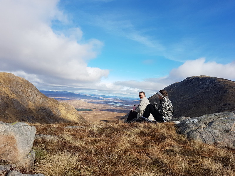
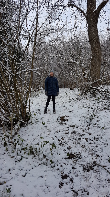
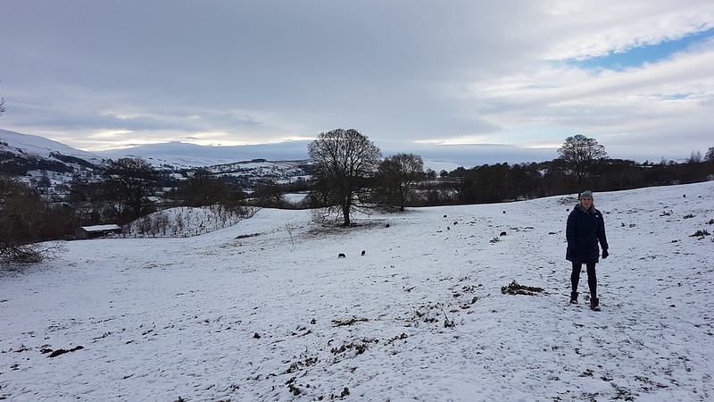
It was a strike day. I was on the picket line as you can see!
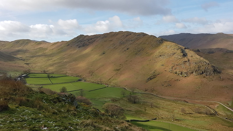
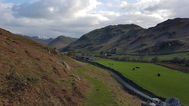
You can see my car in the photo, the only one in the parking space at Sadgill, at the end of the metalled road along Longsleddale. Admittedly, I’d got there fairly early – but, at the weekend, the limited spaces here fill up very quickly. On this midweek day in March, there were eventually three cars. The weather wasn’t ideal, I’ll grant, but the MWIS forecast had actually suggested that the cloud would be lifting off the hills in the Eastern Lakes. It didn’t.
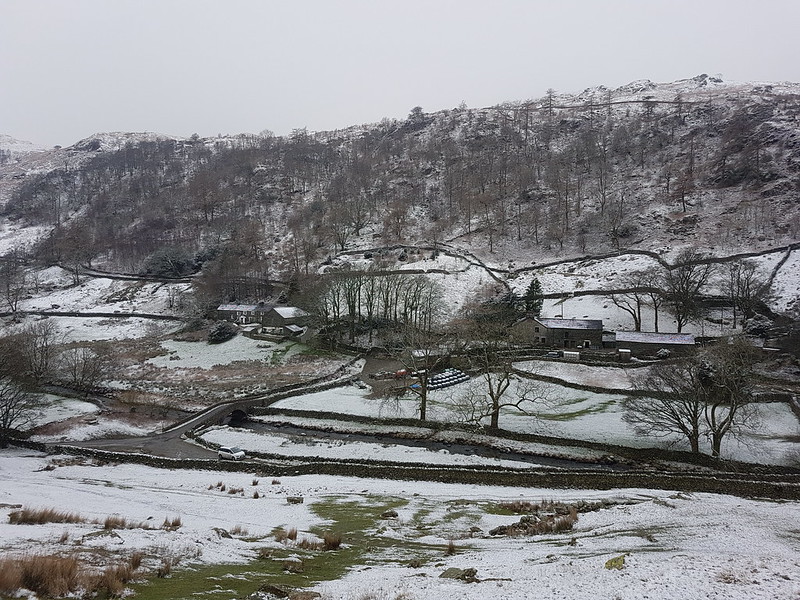
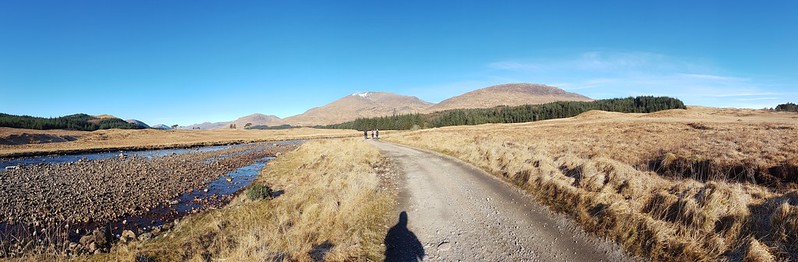
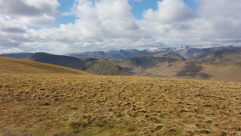
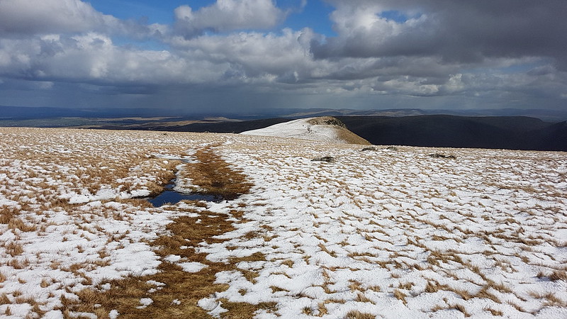
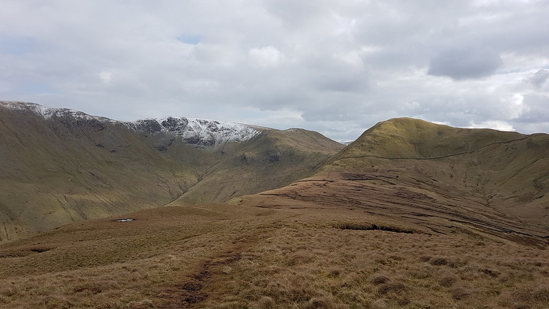
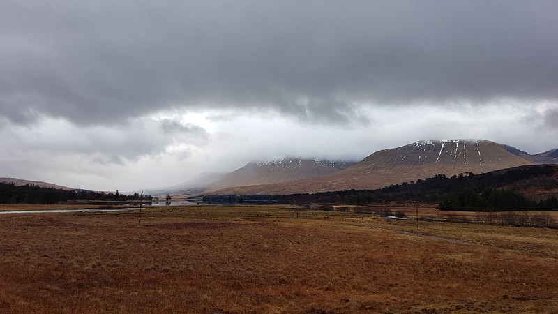
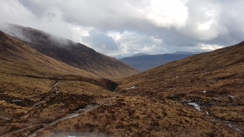
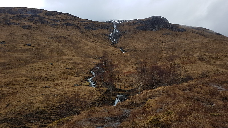
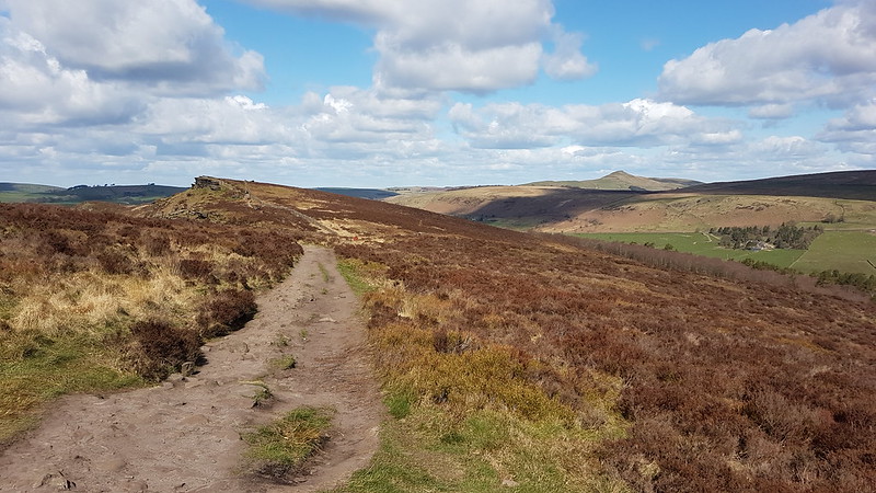
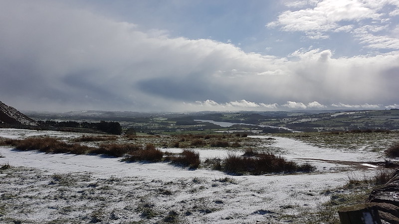
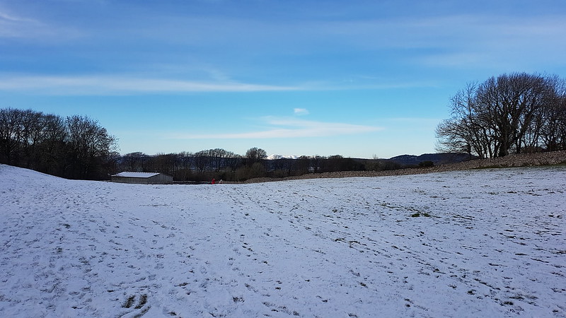
Looking up Longsleddale.
It’s not marked on the map, but there’s a path signposted from the parking area which heads directly uphill towards Great Howe – I’d noted it on a previous visit and had in mind to try it out.
The same view from just before I entered the clouds.
I haven’t been carrying my stove this winter, settling instead for a flask of hot cordial and an insulated mug of tea. I stopped to drink the tea, and to video-call my mum and dad, when it was evident that I would shortly be entering the cloud and losing the view.
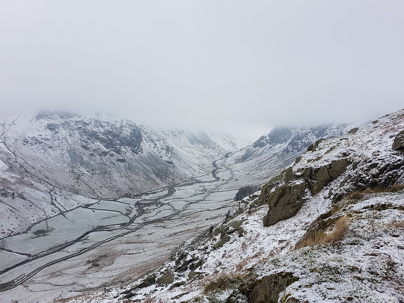
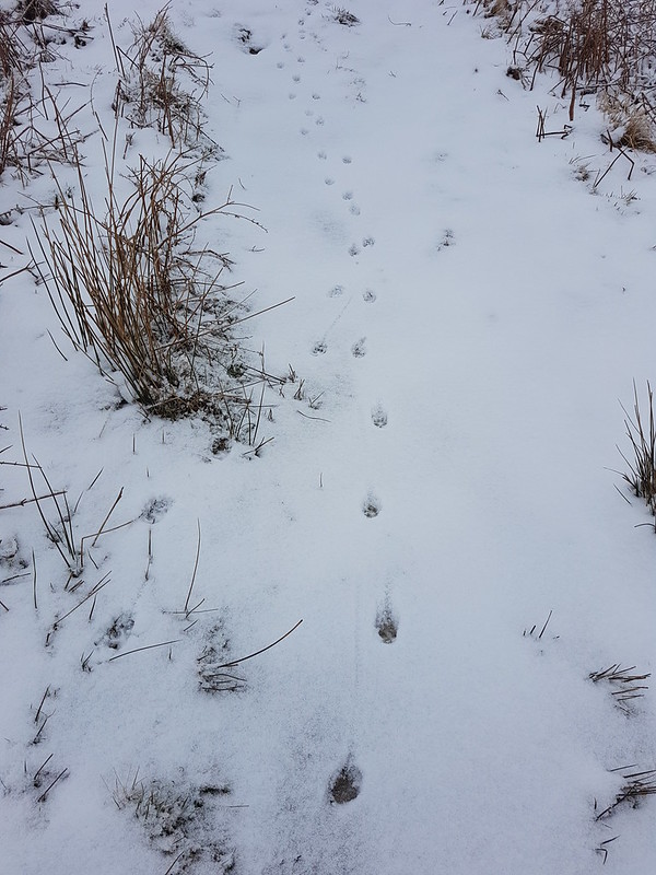
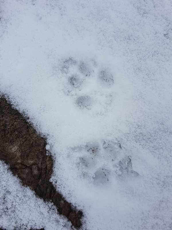
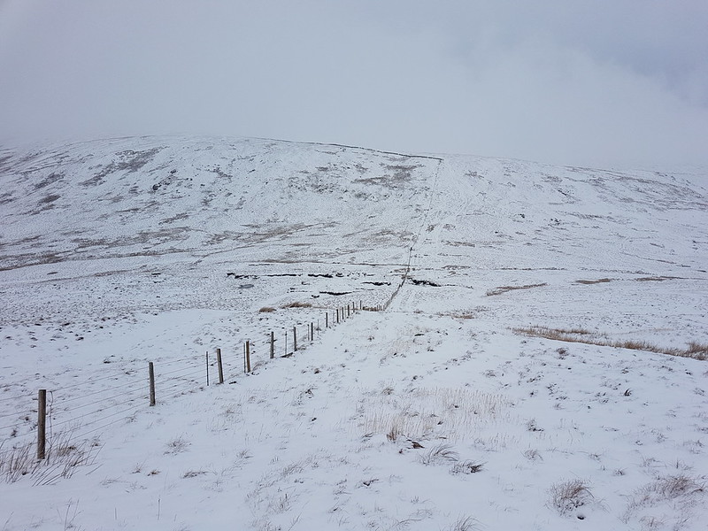
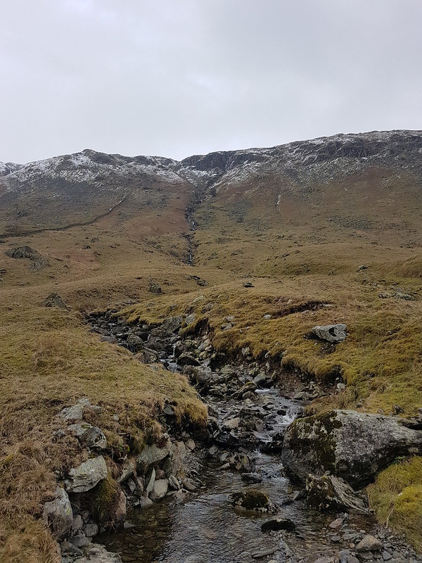
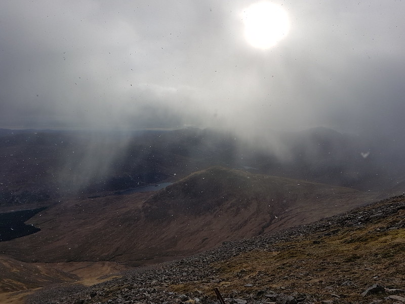
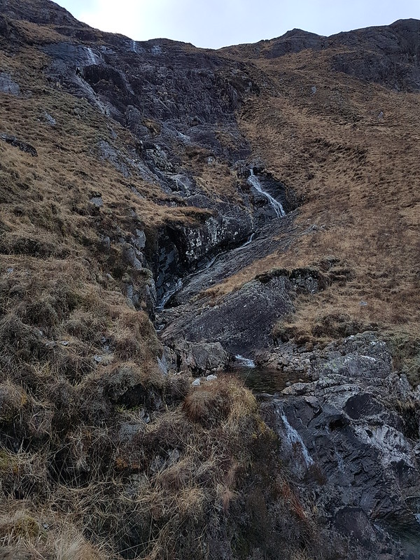
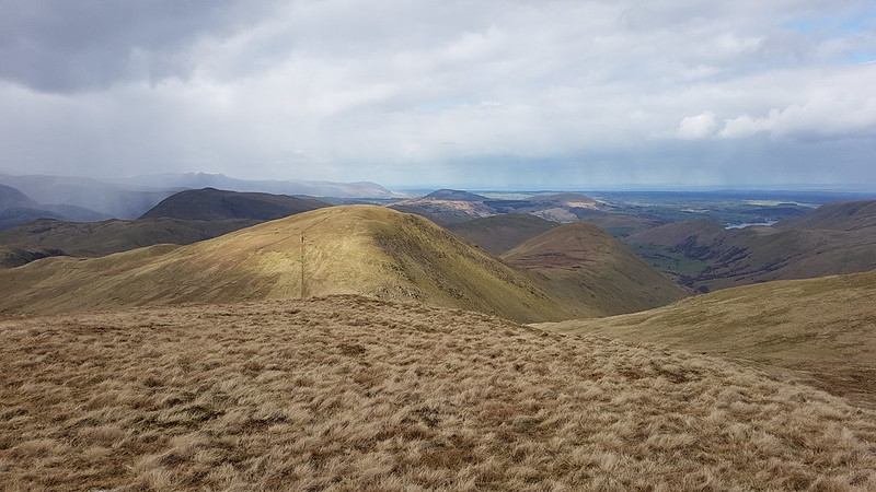
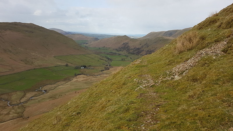
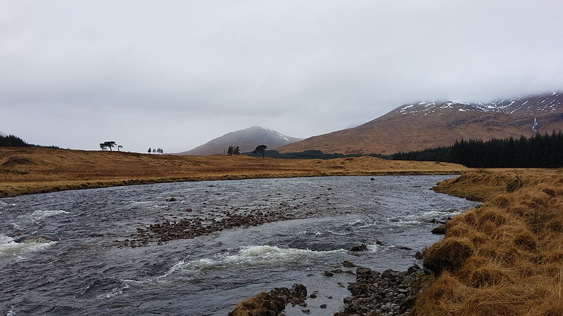
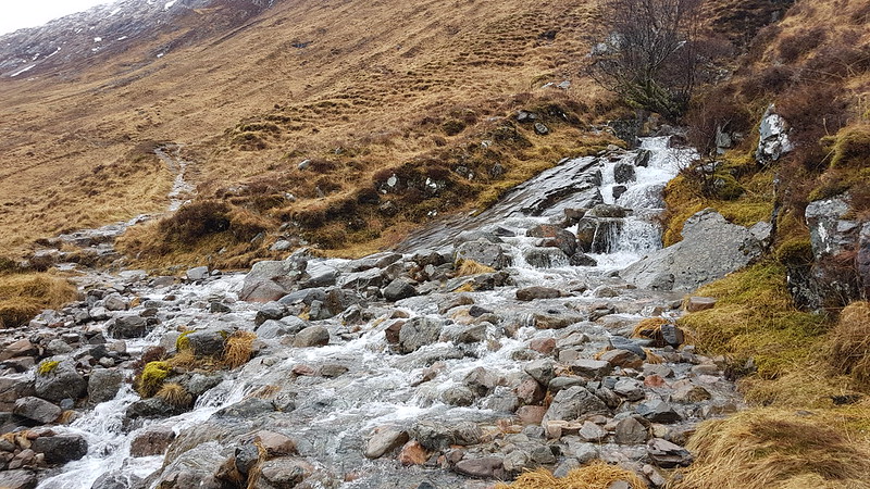
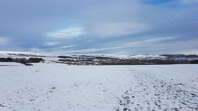
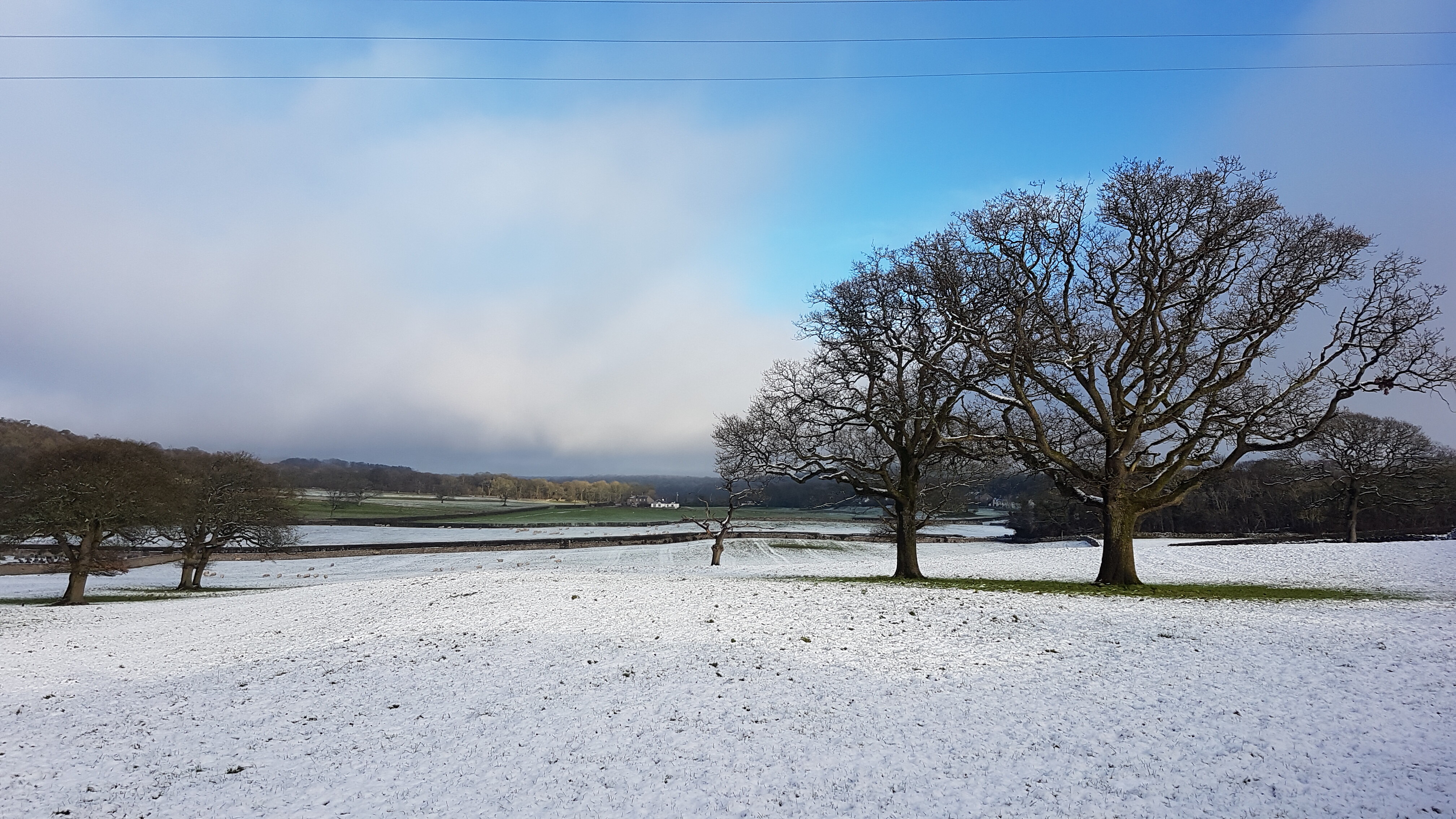
Looking down Longsleddale.Typical view for the next few hours.Fox tracks?
Throughout the day the paths had tracks like these, often two or three sets, along them. When the guy who had arrived in the second car in the car park overtook me, he expressed surprise that I didn’t have a dog with me, but I think the tracks were actually made by a fox or foxes.
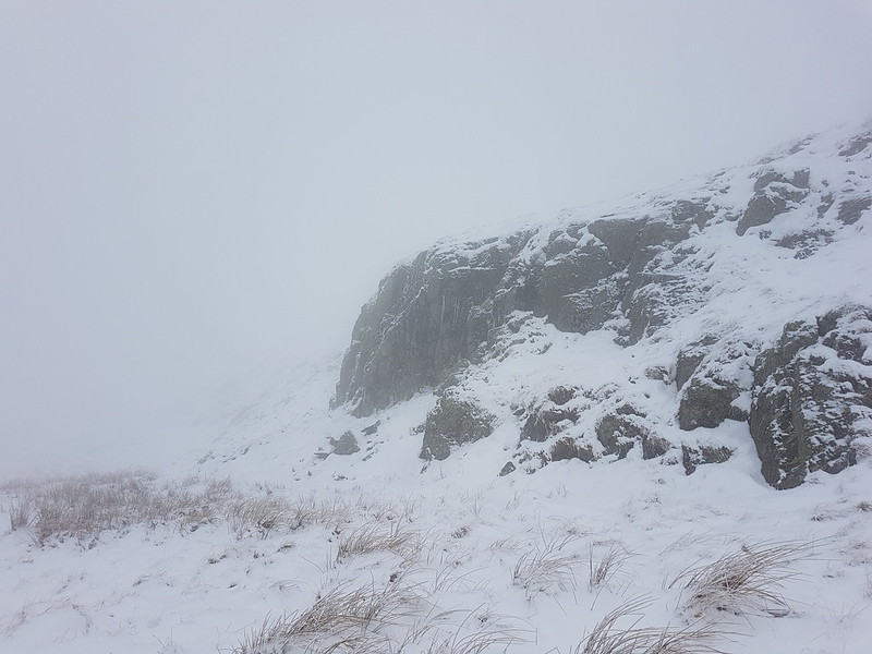
Fox prints?Crags looming out of the mist.
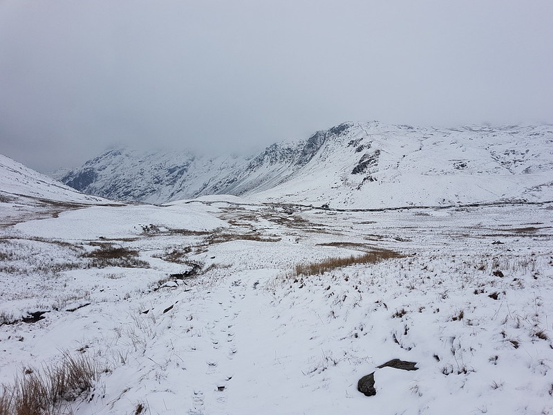
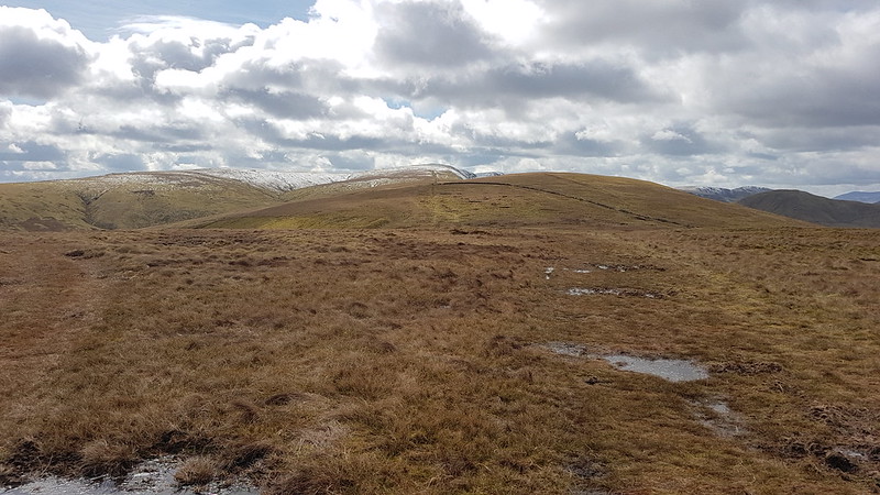
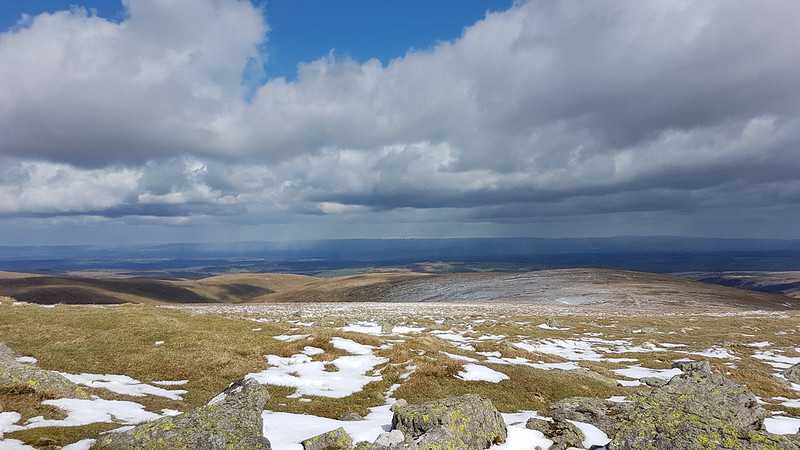
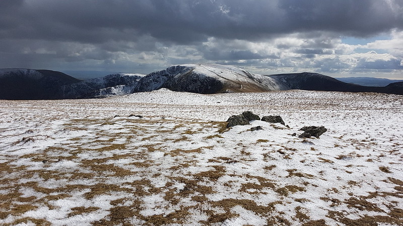
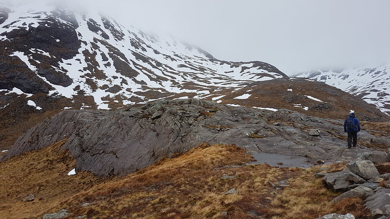
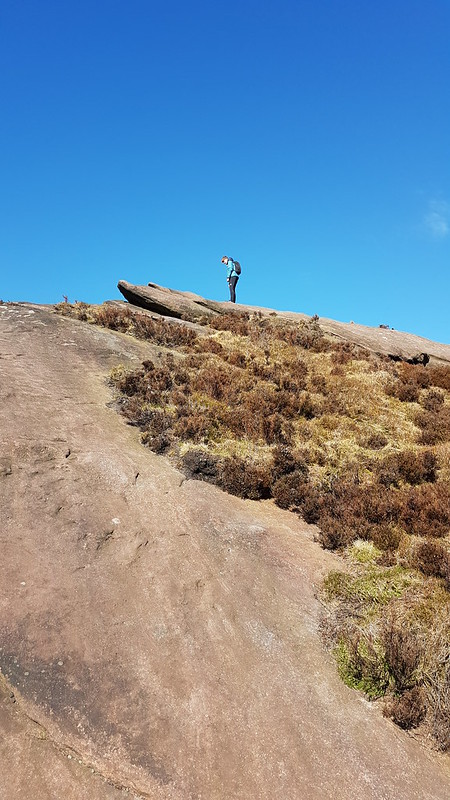
Visibility was poor, but with the OS map to help, navigation was relatively easy. Judging distances and the size of things can be difficult however. Suddenly a rise will loom up, looking huge, but then turn out to be negligible.
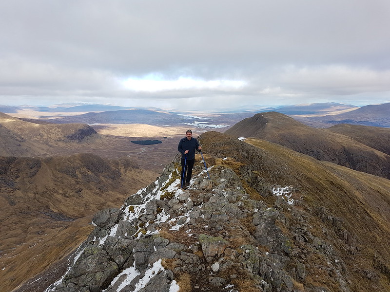
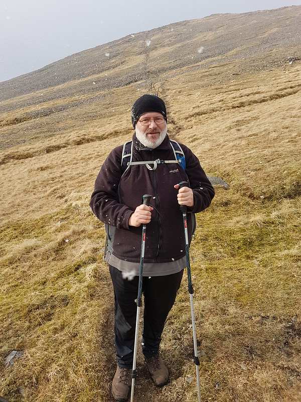
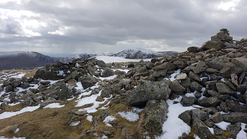
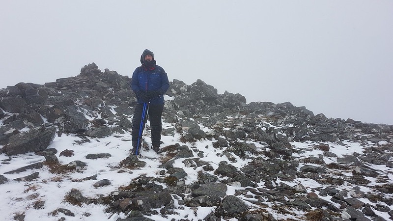
Yours truly on Grey Crag.
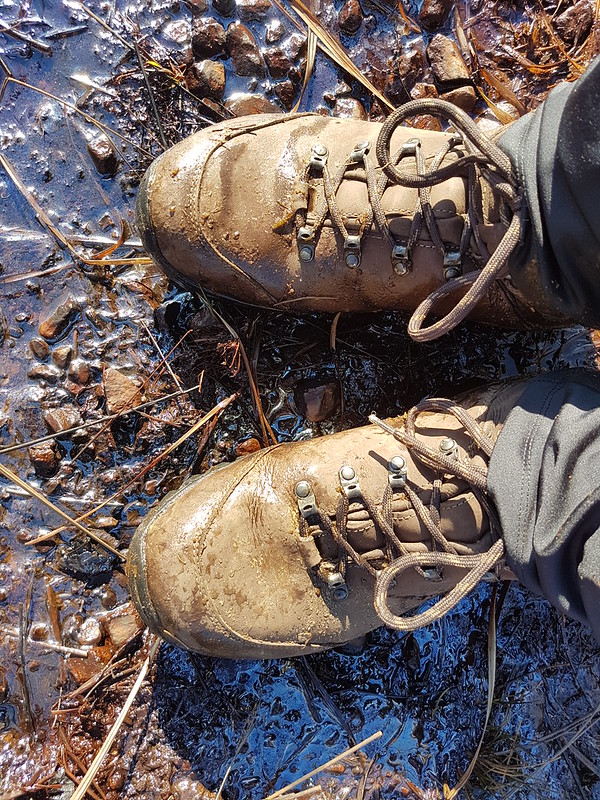
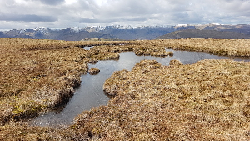
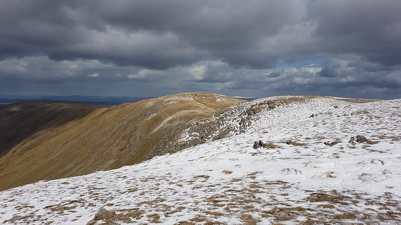
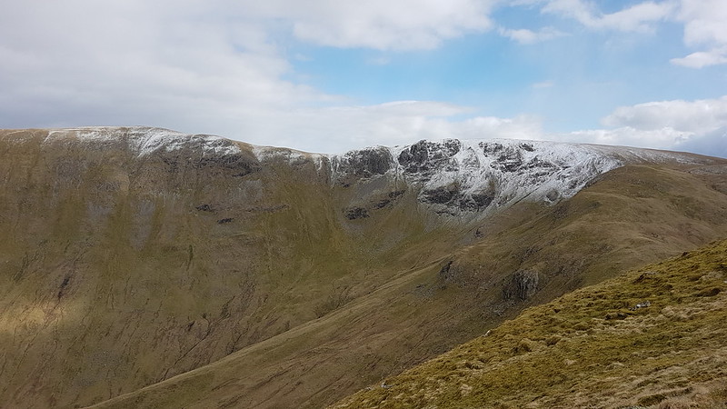
I thought the area marked on the map as Greycrag Tarn (where there is no Tarn) might be awkward to navigate, both in terms of not losing the way and because it looks boggy on the map. In the event, I just stuck to a bearing, which worked really well, and I didn’t encounter anything too sloppy for Malcolm’s boots to cope with.
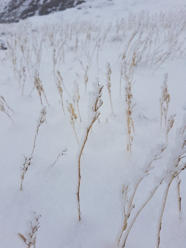
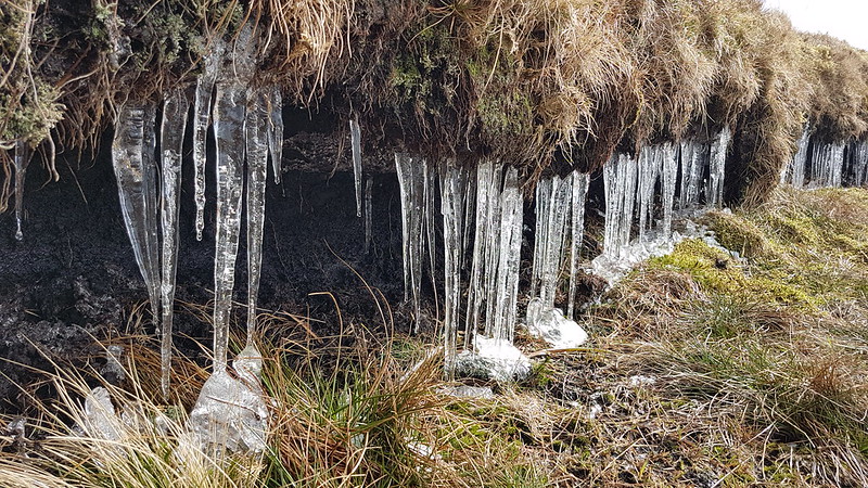
Ice covered grass stems.
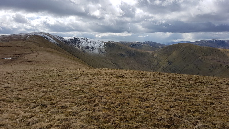
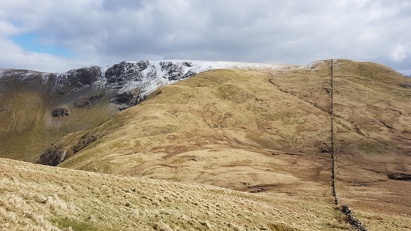
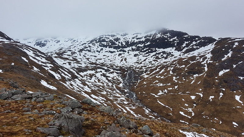
It had become quite windy, and before beginning to climb again toward Tarn Crag I found a marvellously sheltered spot to drink some hot cordial, eat my lunch, and admire some icicles.
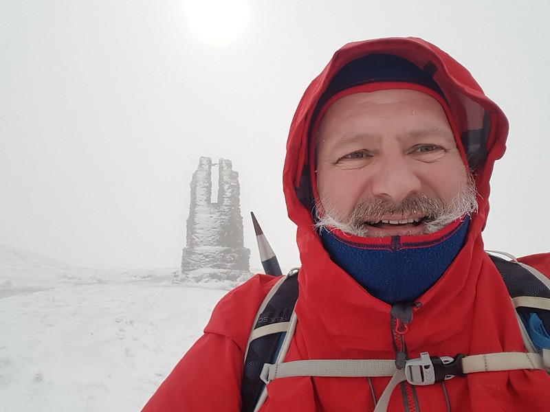
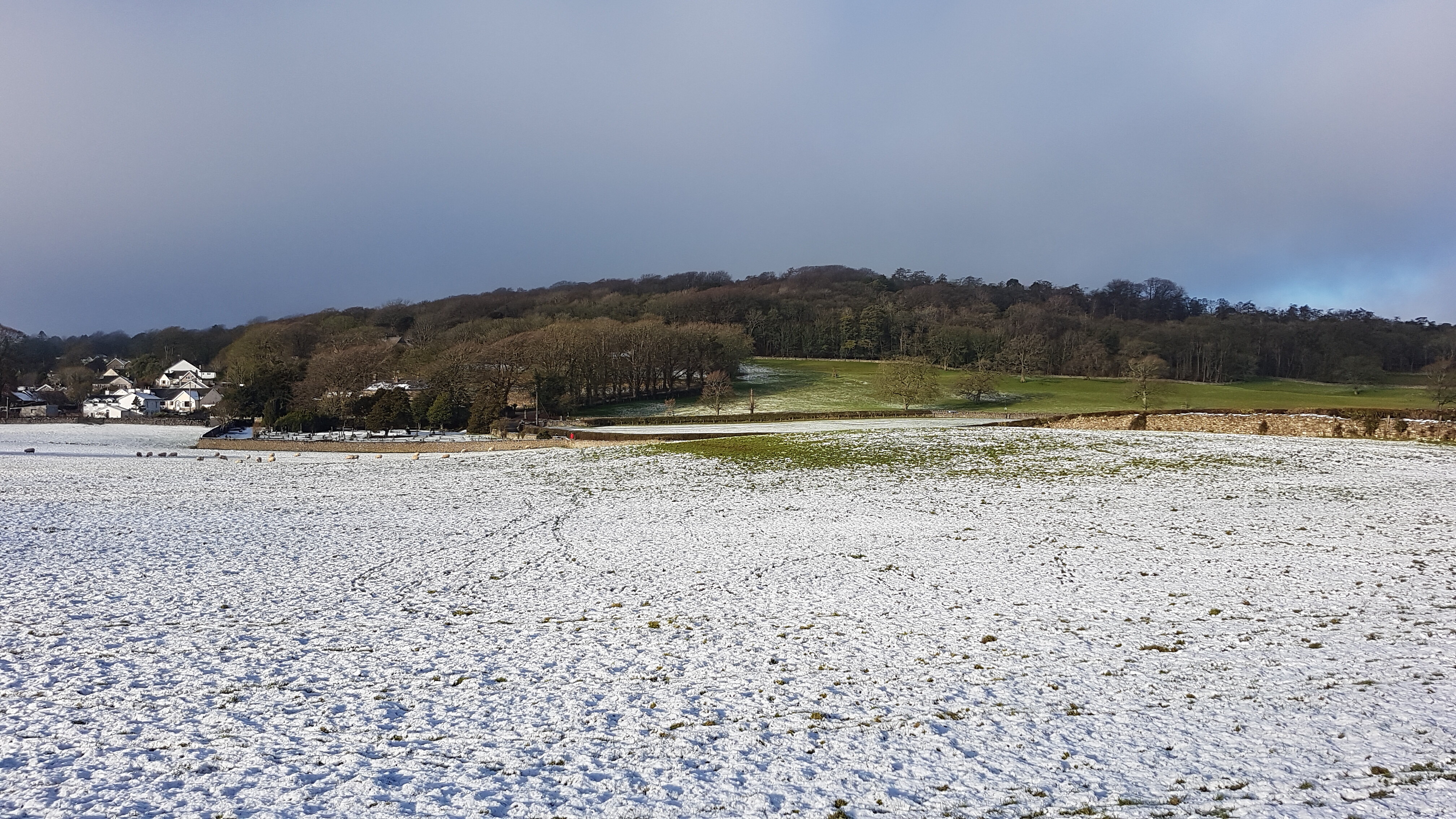
Icicles.Yours truly and the survey pillar near the top of Tarn Crag.Fence – a handy navigational tool.Descending out of the cloud to Brownhowe Bottom.Steel Rigg and Raven Crag.Heading down in to Longsleddale.Waterfalls in Wren Gill. Or is it Cleft Ghyll?Longsleddale after a significant thaw.
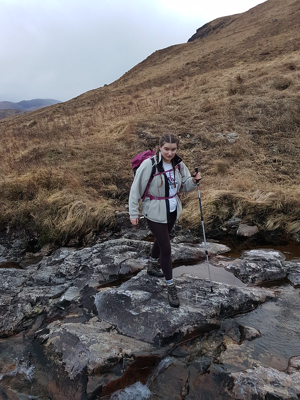
A couple passed me as I finished my cordial beside the track down into the valley. They must have arrived in the third car. That was all the people I saw during this walk.
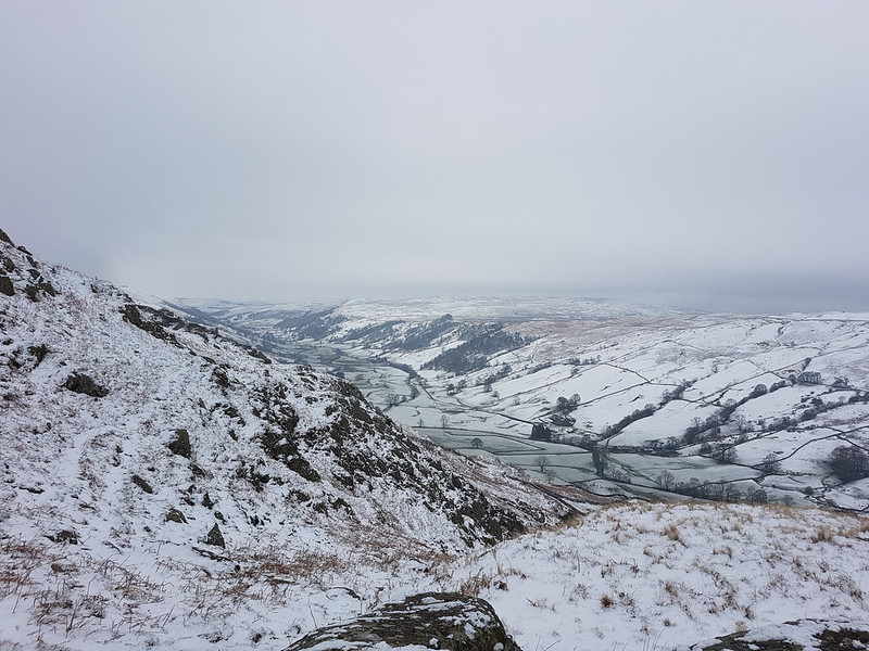
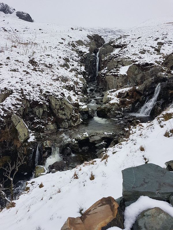
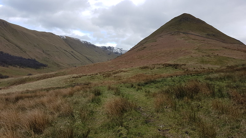
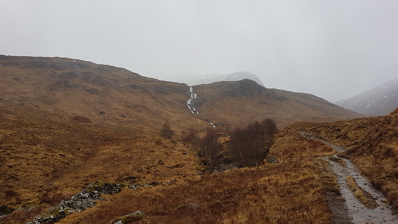
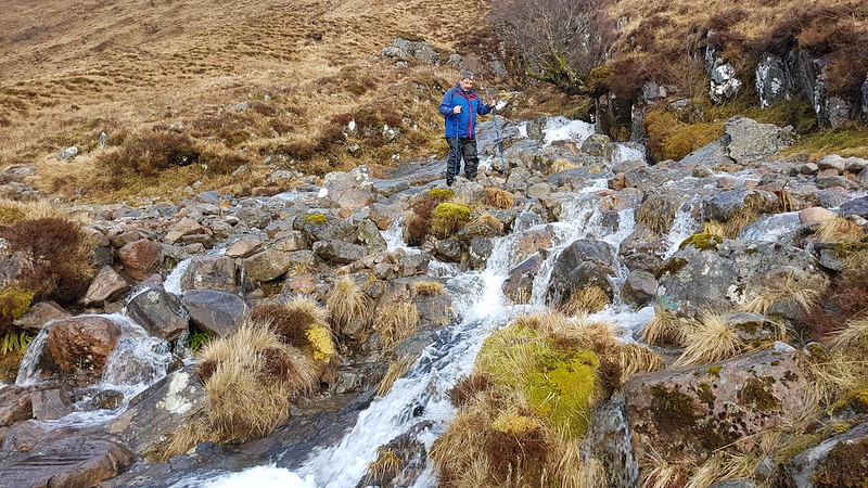
Galeforth Gill – a good alternative way up.
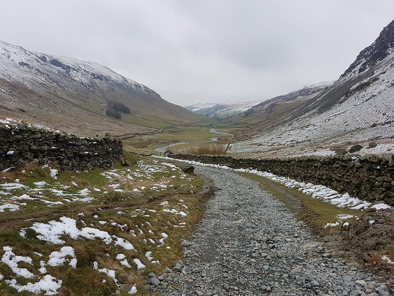
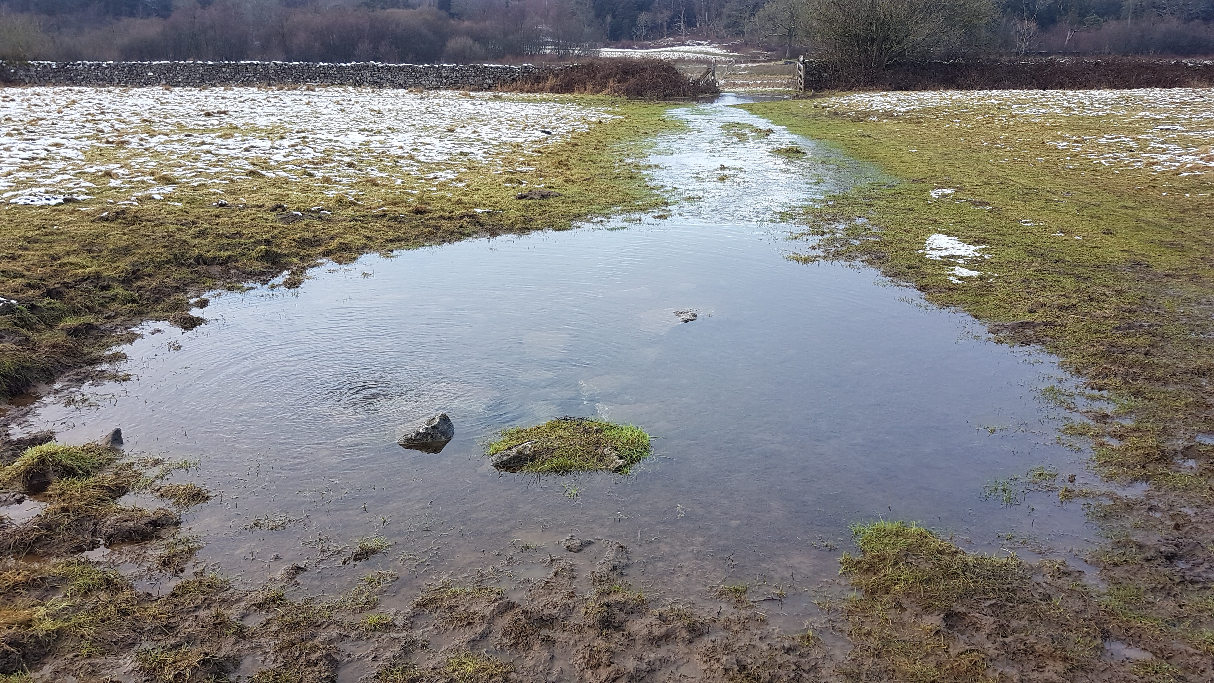
There’d been a significant thaw; the treacherous layer of verglass, which had coated the surface of the track when I’d arrived, had now gone. I’d been a bit concerned about descending the track in such icy conditions so wasn’t upset to see the change. The axe and crampons I’d lugged around all day, didn’t get put to use. Despite the far from perfect weather, I’d really enjoyed having a day out in winter conditions. Now, how I could I engineer more walking on quiet days when everybody else is at work…?
I can dream!
It turns out it was almost exactly ten years after my last ascent of these two hills. And quite a few years since I brought the kids to Longsleddale for a swim.
Last March, during our annual weekend get together, based at the Bridge of Orchy Hotel, The Tower Captain and I climbed Stob a’ Choire Odhair in fairly inclement weather. We had intended to continue on to its higher neighbour Stob Ghabhar, but were discouraged by the raging wind. So this year, on the same trip, when the Saturday morning gave clear blue skies and sunshine, we were all set to make good on our unfinished business.
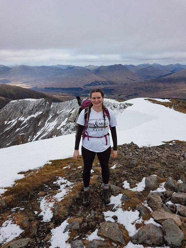
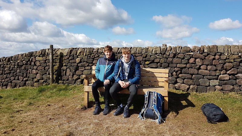
My photos make it look like we were a party of four, me, TC and our daughters, who were back for more punishment after joining us for a wild, wet and windy weekend three years ago. This was their first time with us since, Covid and their increasing independence having interrupted in the meantime, and the glorious weather felt like payback for the ugly conditions on their previous visit. As I say, it appears that we were just four, but in fact, at the start and end of the walk, along the valley of the Abhainn Shira, we were a much larger group, joined by friends who would go on to bag both hills, whilst we single-mindedly focused on the top which had eluded us last time out.
Looking back to Beinn Achaladair and Beinn an Dothaidh.MM’s boots.
Thanks to the generosity of old friend MM, I was kitted out in ‘new’ footwear, high-ankled Meindl boots, which he’d found a little too big, but which, after several outings, I now know fit me to perfection. This was a very timely piece of luck, because my faithful Altberg boots, after many years of heavy use, are falling to pieces.
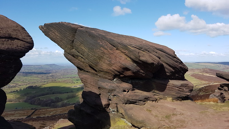
Ben Starav is down that way somewhere.Abhainn Shira, Stob Ghabhar and Stob a’ Choire Odhair.Clashgour Hut. Palatial. Probably.Heading into Coire Toaig.Creag an Steallaire and waterfalls on the Allt Coire na Muic.
As if to prove that even dodgy weather has its compensations, the waterfalls we passed weren’t half so spectacular as they were last year in the rain. Having said that, I’ll settle for sunshine and muted waterfalls every time.
Allt Caolain Duibh.
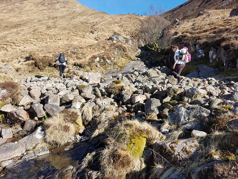
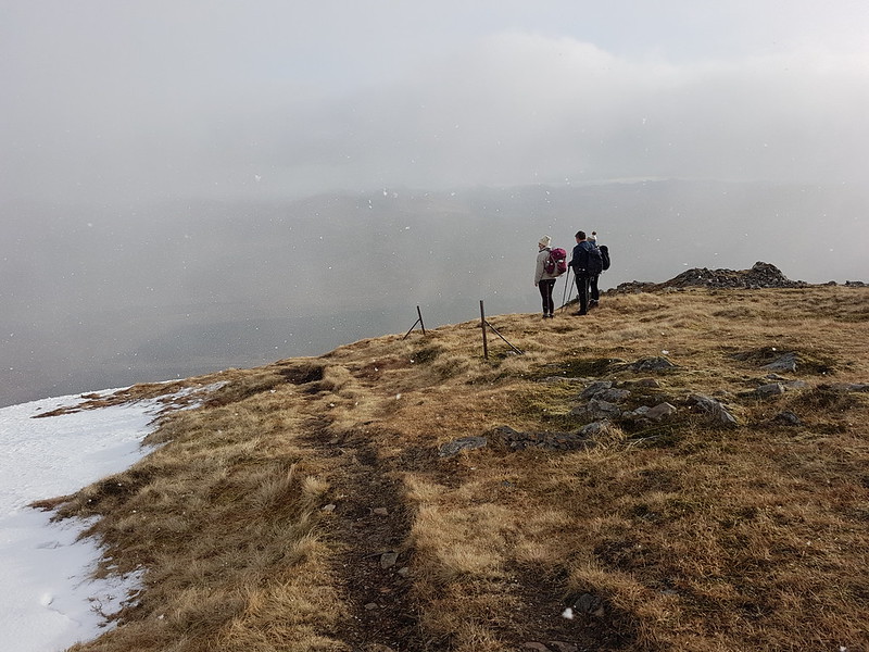
On the other hand, crossing the Allt Caolain Duibh dry-shod was a good deal easier. That’s the rest of our party you can see approaching the skyline, already disappearing into the distance on their ascent of Stob a’ Choire Odhair.
A and S crossing the Allt Caolain Duibh. Coire Toaig and the Aonach Eagach.Approaching the bealach at the head of Coire Toaig. The ridge on to Stob a’ Choire Odhair.The Tower Captain near the head of Coire Toaig.At the bealach at last.Stob a’ Choire Odhair, Rannoch Moor and distant snowy hills.A glorious spot for some lunch.
As we sat for some lunch and to enjoy the views and the company, I attempted to persuade the others that we should switch our allegiance and follow the long and inviting looking ridge on to Stob a’ Choire Odhair. I was feeling lazy and Stob a’ Choire Odhair would have been a considerably shorter climb. I also fancied the views over Rannoch Moor from there. What’s more, from our new vantage, the very steep and snow covered route to Stob Gabhar looked a bit intimidating, and as if it might be capped by a sizable cornice: given that we were without crampons and axes, I wondered about how tricky it would be. A couple came past who had been that way earlier and I asked about the cornice, and they assured me that it hadn’t presented any difficulties and that they hadn’t needed their crampons at any point.
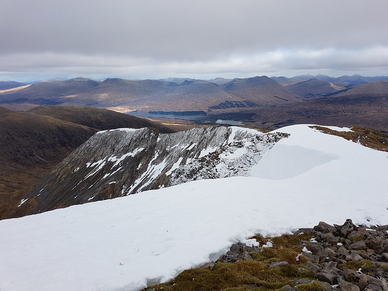
Coirein Lochain.Looking to Loch Bà from the top of the Couloir Buttress on the Aonach Eagach.
In the event, I needn’t have worried; the girls led the way and really relished finding safe passage through the sometimes icy boulders. Here we are above the top of the steep part, having easily bypassed the cornice.
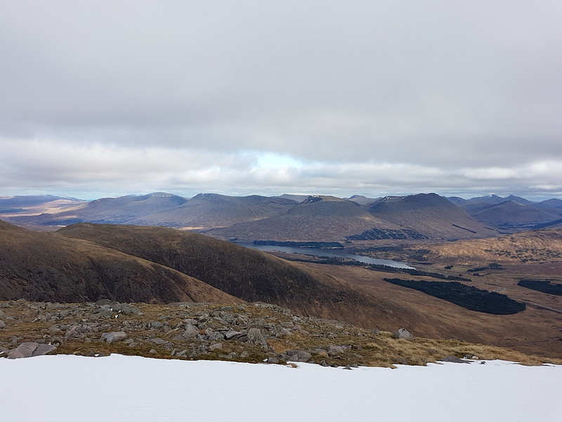
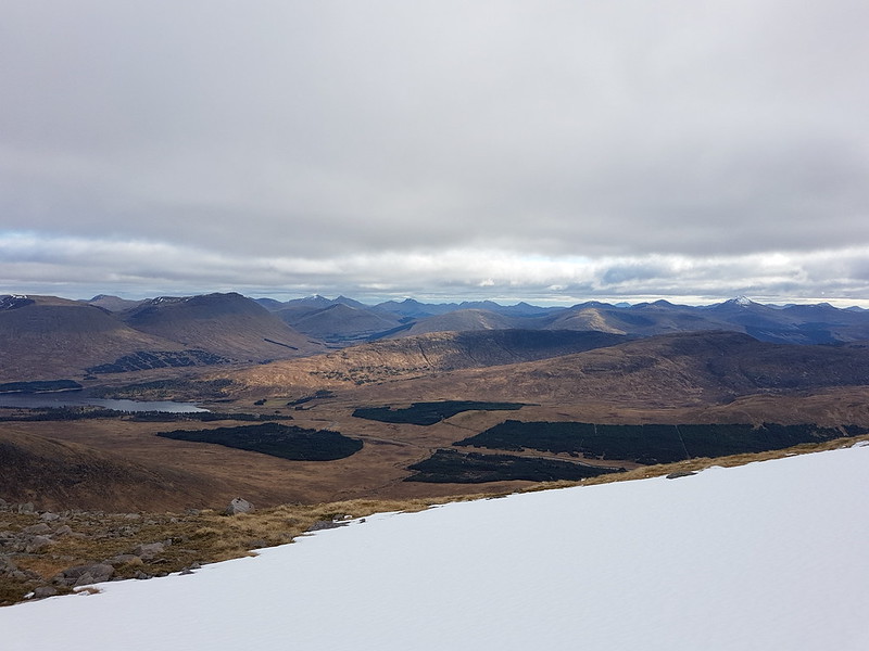
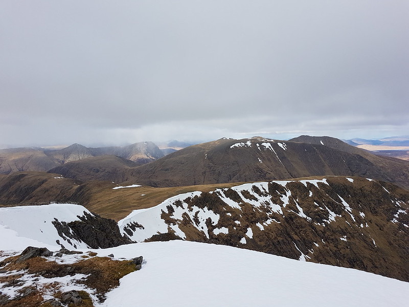
Clac Leathad and Meall a’ Bhùiridh (I think). Snowy Glencoe peaks beyond.Loch Tulla and the hills beyond.Lots of hills!
I could tentatively put names to a handful of the myriad hills we could see receding in every direction, but TC and I couldn’t even agree about relatively nearby Ben Lui and, the truth is, outside the Lakes, I’m never very confident. I do know that the low horseshoe to the right of Loch Tulla is Meall Tairbh and Beinn Inverveigh, which we climbed on another ropey day a few years ago.
The next, all too short, section of our route, another Aonach Eagach – ‘rough ridge’ – was terrific fun, not especially narrow, but exposed enough to add a little excitement to our day.
A and S on the Aonach Eagach (much shorter and easier than the famous Glencoe one!).TC on the Aonach Eagach. Loch Bà and Rannoch Moor beyond. Almost at the top.Ben Cruachan with the snow on it?Enjoying the ascent, whatever the T-shirt claims.Looking north – bad weather incoming!A big cornice and the Aonach Eagach.On the top.
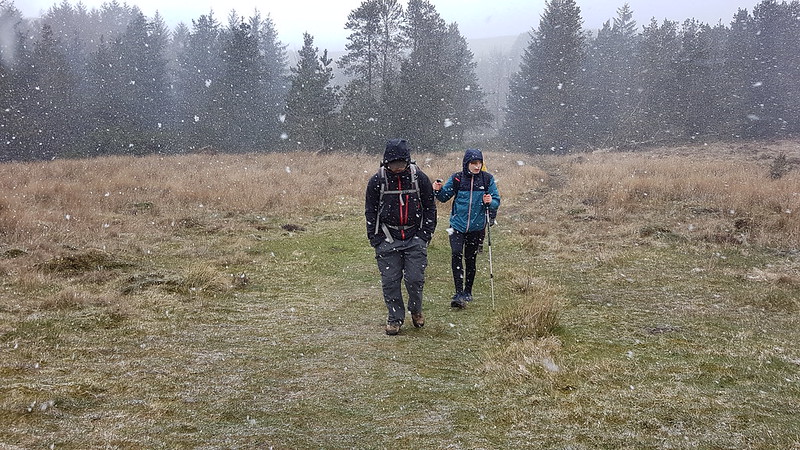
The weather was closing-in rapidly; it didn’t feel like the time to linger on the summit, and indeed, it was soon snowing.
Bad weather arriving!
We retraced our steps slightly so that we could take the broad ridge of Stob Maol down.
Descending Stob Maol.
If anything, the snow didn’t detract from our fun, just added another element to the day.
Yours truly in the snow.Stob Maol – our descent route.Stob Maol again – TC and I managed a couple of short standing glissades.Enjoying the view?Stob a’ Choire Odhair and Beinn Taoig.
We found a reasonable path down the ridge, but it kept drifting left and I worried that it was taking us toward the crags of Creag an Steallaire. We had a quick conflab; I advocated heading further right, whereas TC thought the easier walking the path offered was worth sticking with. In the event, ironically, it was TC and S who went right and A and I who stuck with the path. My fears were partially confirmed – the path brought us right to the top of the falls on the Allt Coire na Muic, but then continued, steeply, but safely, down beside the stream.
Waterfall on the Allt Coire na Muic.Waterfalls on the Allt Coire na Muic.Crossing the Allt Taoig.
Back at the path beside the Allt Taoig we met up again with TC and S and with most of the rest of the party.
After a little drama and an anxious wait for two of the party to return from the hill, the evening meal at the Bridge of Orchy Hotel was as fantastic as ever. All the old stories were no doubt brought forth to be admired and repolished one more time. In short, a splendid time was had by all.
Another cheating post! (Apparently) Which will bring 2022 to a close on the blog at long last.
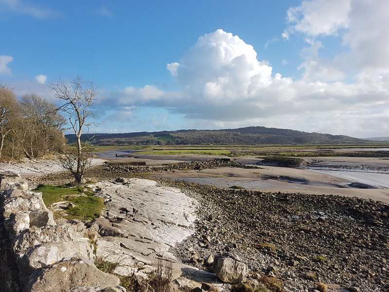
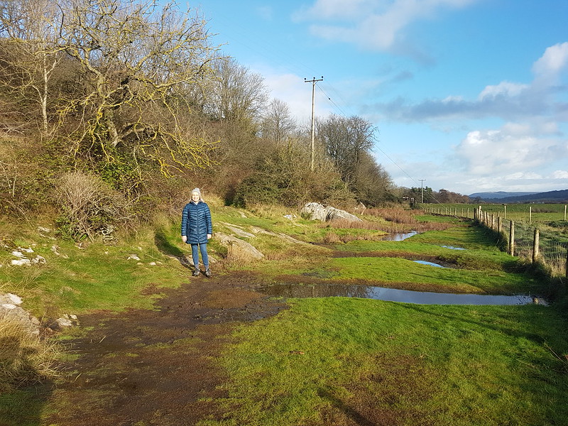
Actually, these first two photos are from the tail end of November and one of our regular Jenny Brown’s Point circulars.
TBH on her way to Jenny Brown’s Point.
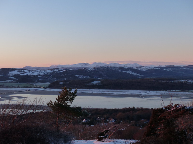
Then we jump forward a bit to a snowy weekend in December and a couple of late local wanders.
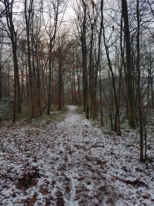
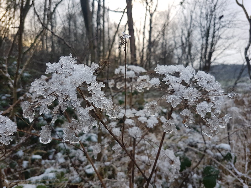
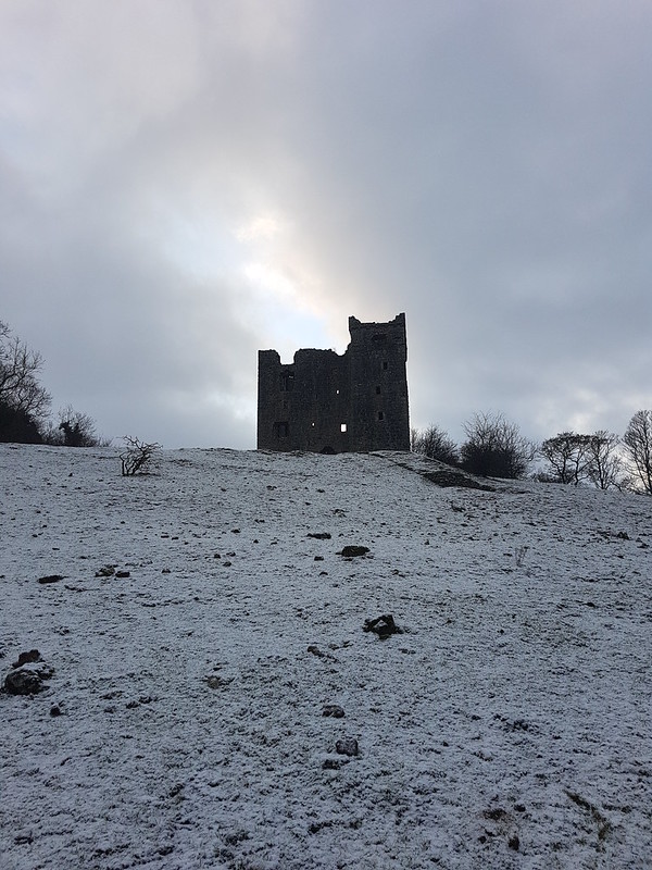
A snowy day in Middlebarrow Wood.Ice on seedheads.Beech leaves.Arnside Tower.
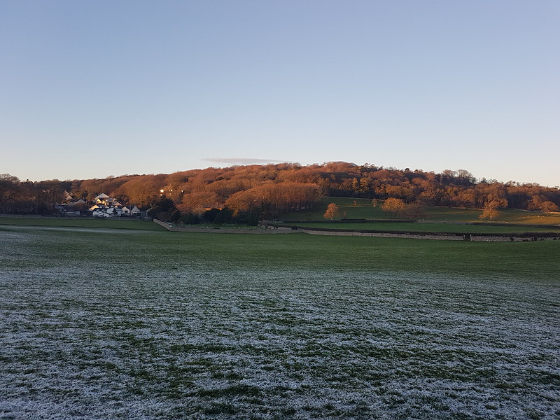
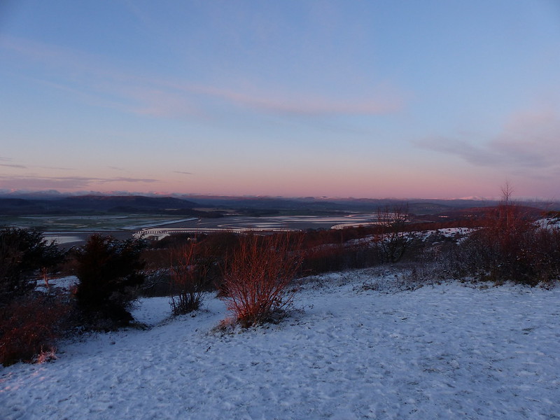
The following day, some of the snow had melted in the sunshine, but a little was still clinging on elsewhere…
Eaves Wood.Beech leaves catching the last of the sun.Looking towards Clougha from near the Pepper Pot.Sunset and Morecambe Bay.The Pepper Pot.The Cove.A layer of ice over mud.
I had high hopes that the ice would hold and keep me out of the mud. It didn’t.
Morecambe Bay.Hampsfell from ‘the beach’.
Just before Christmas, Little S tested positive for Covid. Subsequently, I felt very ill myself, but kept testing negative. Subsequently, my GP has told me that I probably did have Covid.
We still met up at Gearstones just before Christmas with all the usual suspects, but I have no photos to show for it because, still feeling rotten, I generally stayed inside and didn’t brave the snowy weather. It was great to see everyone, none-the-less.
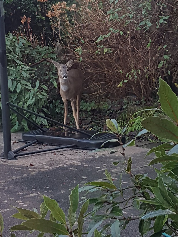
Christmas Day Roe Deer.
With hindsight, I perhaps shouldn’t have fetched my Mum and Dad to spend Christmas with us, but it was fabulous to see them and I don’t seem to have passed on the lurgy.
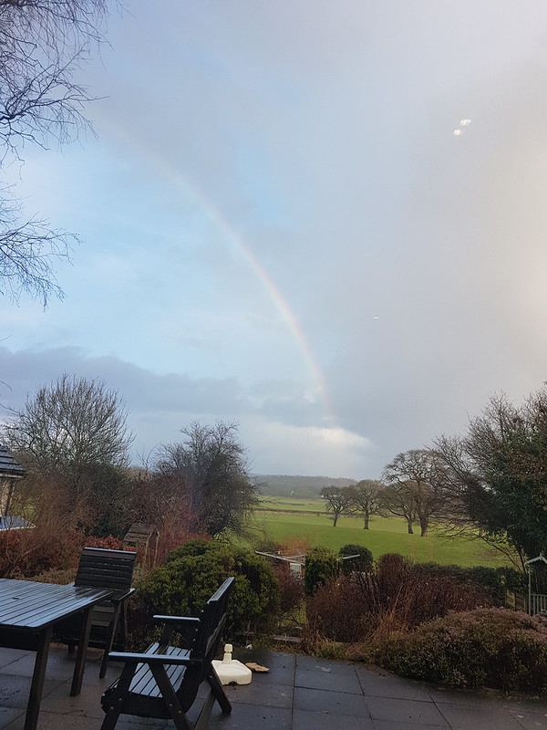
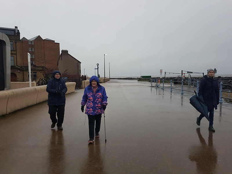
Christmas Day Rainbow.Cold and damp on Morecambe Prom.
This was the day after my Holme Fell and Black Fell outing with TBH. After that modest affair this was much more ambitious. I think I was frustrated that the first week of the Easter holidays had only yielded three Wainwrights. In my defence, the weather hadn’t been much cop and we had also been decorating our living room. I say ‘we’, but in honesty TBH had been decorating the living room and I had been ferrying the boys about to give her the time to do that. I did put a coat of paint on the ceiling I suppose. I had to really, I’d told the kids that anyone who didn’t contribute would lose their TV privileges. Anyway, over the next three days I made an effort to make up the deficit (of Wainwrights bagged, not decorating).
Hallin Fell
I parked by the ‘new’ church, below Hallin Fell, dropped down to Howtown and then climbed steeply towards White Knotts.
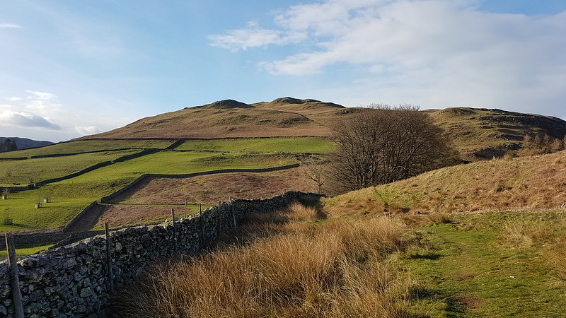
Steel Knotts / Pikeawassa and Martindale.
I don’t know who made the path, or why, but it was very cleverly done.
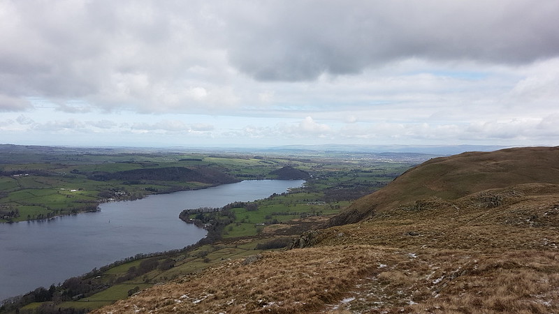
Ullswater.
Having hit the ‘ridge’ – it’s neither a ridge, nor a plateau, so I’m not sure what to call it – I had to descend slightly to reach Bonscale Pike. From Easter onwards (and quite often in the winter) I habitually wear shorts. It was very windy and very cold this day and I wondered at times whether I would have to turn back, but I found that by layering up on my top half, with a couple of fleeces, hat, gloves and at times my cag too, my legs didn’t seem to be an issue.
Bonscale Pike has lots of humps and hollows – thinking, quite rightly as it turned out – that shelter would be at a premium, I stopped for a cuppa.
Skiddaw and Blencathra. Gowbarrow and the Mell Fells in the middle distance.Arthur’s Pike (on the right) from Bonscale Pike.
From Bonscale Pike the route drops into a hollow and then climbs out to Arthur’s Pike.
Bonscale Pike from Arthur’s Pike.
From there, it’s a long series of very gradual ascents, over Loadpot Hill, Wether Hill, Red Crag, and Raven Howe to my high point for the day High Raise.
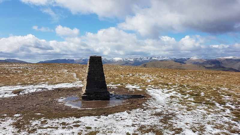
The route ahead.Cross Fell catching the sun on the other side of the Eden Valley.The Trig Pillar On Loadpot Hill.
Clearly the showers we’d watched the day before shrouding the long ridge from the Dodds down to Fairfield had fallen as snow on the higher parts of the range.
The snow-capped hills on the western side of Patterdale.Red Crag (on the right) and Low Raise and High Raise ahead.
I had my eye on the wall in the photo above from quite some distance away. It looked like it might offer some shelter. It did, and it was most welcome. I sat behind the wall here for quite some time, ate my lunch and had another hot drink (Pink Grapefruit squash – a tip from old friend the Hairy Oatcake).
The hills across Patterdale again.High Raise, Rampsgill Head, The Knott and Rest Dodd.
It seemed to take a long time, but I was gradually reeling High Raise in.
The shelter and the cairn on High Raise.
I didn’t have high hopes for the little stone shelter, but in the event it wasn’t too bad. I finished off the Grapefruit cordial and enjoyed the views over the Eden Valley.
Looking across Low Raise from High Raise to showers over the Eden Valley.Kidsty Pike and Rampsgill Head. High Street beyond.High Street.Kidsty Pike from Rampsgill Head.
There’s a high ‘ticks to effort’ ratio here, with not much energy expended to grab Kidsty Pike, Rampsgill Head and The Knott.
Harter Fell, Mardale Ill Bell, High Street, Thornthwaite Crag.Looking back to High Raise and Raven Howe.Catstye Cam stands out in this view of the fells west of Patterdale.Huge Cairn on The Knott.Rest Dodd – showers behind.
Rest Dodd is not such a push-over, with a steepish re-ascent to be overcome.
High Raise and The Knott.
It looked like frequent showers were tracking south along Patterdale and I thought it was only a matter of time before I got a drubbing, but aside from a few flurries of snow, they never materialised.
Two cairns on Rest Dodd.Icicles on Rest Dodd.Raven Howe and High Raise.The Nab.
The ground between Rest Dodd and The Nab looked like it would be very heavy going, but although there was a fair bit of bog and some big peat hags, it was surprisingly easy to circumvent.
High Raise and Rest Dodd.
I knew, from a previous visit, that there’s a superb path which spirals down the western flank of The Nab. Again, I don’t know who made it or why, but it’s a great bit of work. In places the slope is extremely steep, but the path, narrow at times, keeps on contouring and descending very gently. Perfect.
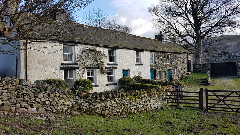
The well-made path on The Nab.Hallin Fell and Steel Knotts / Pikeawassa looking down Martindale.The Nab.The Bungalow.
“Constructed in 1910 as a shooting lodge for Hugh Lowther, Earl of Lonsdale, in a colonial style to host a visit from the German Kaiser”
Nowadays, it’s self-catering accommodation, sleeping 10, so the likes of you and I can rent it out and see what kind of luxury was laid on for ol’ Wilhelm.
Looking up Martindale.
The long walk down the valley on the road was…well, long. I was getting a bit worn out by now.
Martindale Old Church, St. Martin’s.The Nab and Beda Fell.Cotehow – Grade II Listed of course.Hallin Fell.
But then the sun came out and I was quite tempted to tag on Hallin Fell. It was already pretty late however, so I decided to leave that for another day.
Martindale New Church.St. Peter’s.
Some hike stats: MapMyWalk gives 14½ miles and 980m of ascent (which is bit of an underestimate I think).
Wainwrights: Bonscale Pike, Arthur’s Pike, Loadpot Hill, Wether Hill, High Raise, Kidsty Pike, Rampsgill Head, The Knott, Rest Dodd, The Nab.
Birketts: those ten, plus Red Crag. I could, and should, have revisited the top of Swarth Fell while I was at it. But I didn’t. Never mind.
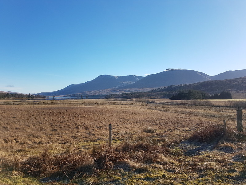
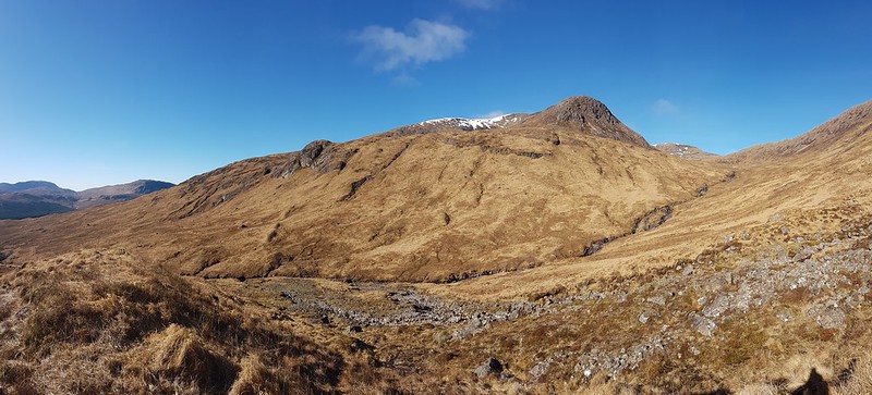
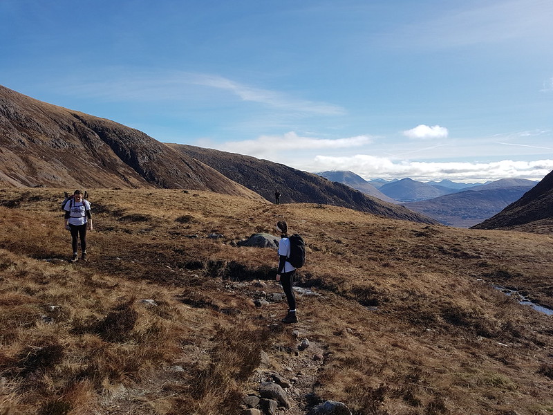
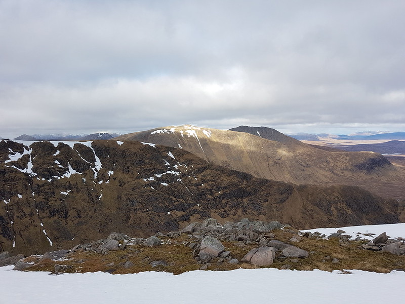
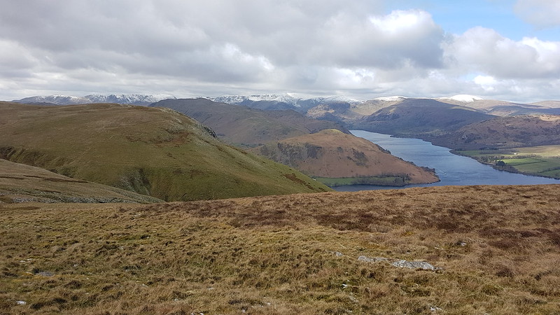
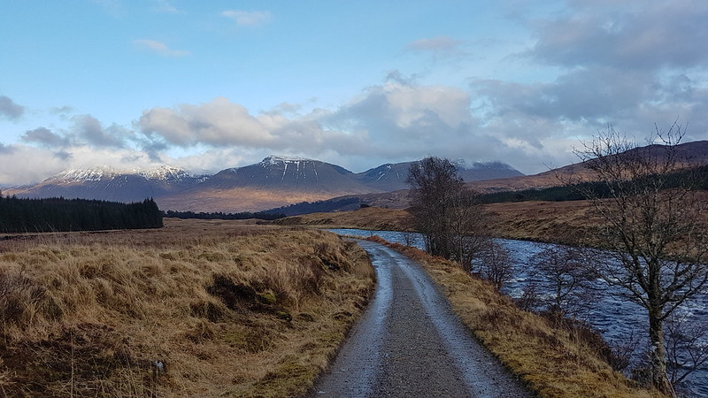
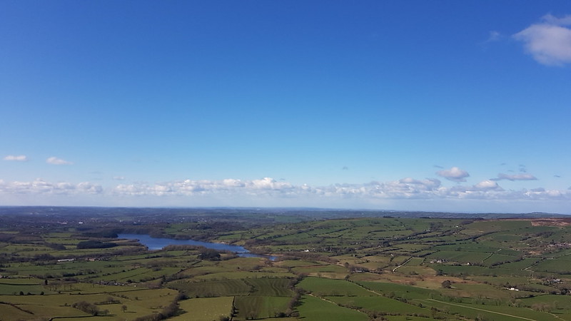
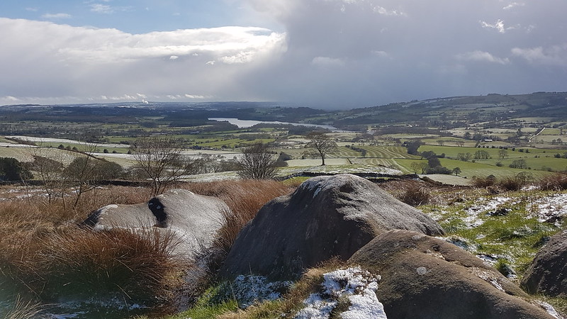
Loch Tulla, Beinn Achaladair and Beinn an Dothaidh.
Our annual walking weekend in Scotland was back on the menu, after a Covid absence last year. On the Saturday, with a mixed forecast, but with the potential for clearing skies later in the day, most of the party were heading for Beinn Dorain and Beinn an Dothaidh, opposite our accommodation at the Bridge of Orchy Hotel. The Tower Captain and I had ticked those off on a previous visit, and he was keen for fresh ‘bags’, so instead, we parked down by Loch Tulla, intending to climb Stob a’ Choire Odhair and Stob Ghabhar.
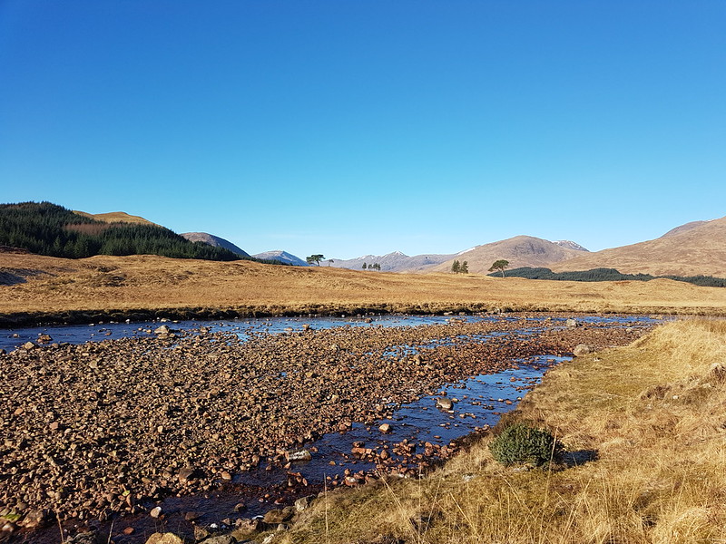
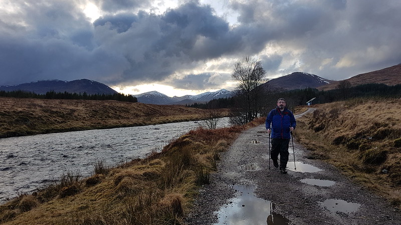
Abhainn Shira
As we were on the bridge over the Abhainn Shira, four Red Deer stags waded across up stream – you can just about see them in the photo.
Abhainn Shiraand Araich
We started out in a light rain which quickly became a bit of a downpour. Not to worry, the scenery was still pretty spectacular despite the weather. Particularly the waterfalls…
Allt Coire na Muic and Creag an Steallaire.
…of the Allt Coire na Muic.
Aonach Eagach and Allt Toaig.
All of the streams seemed to be running pretty high, including the ones we had to cross…
Allt Caolain Duibh.
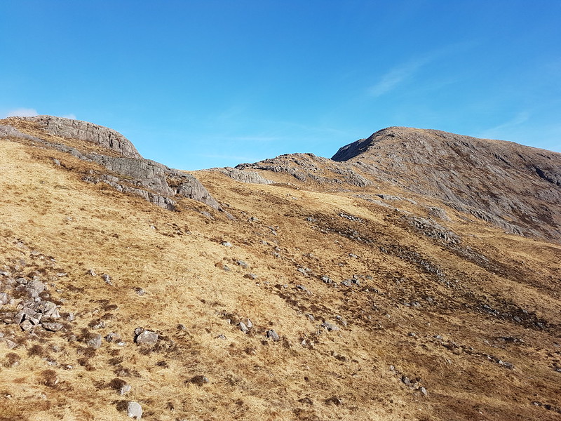
The ascent route has some excellent zig-zags, which took some of the sting out of a steep slope. The rain desisted, but we soon into the cloud and a fairly strong wind.
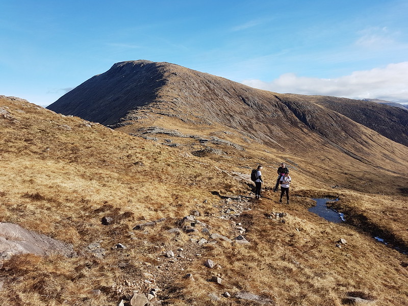
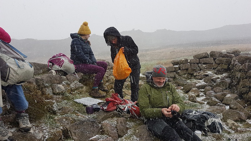
By the time we reached the top of Stob a’ Choire Odhair it was extremely windy, the sort of wind which has you staggering about, and the wind was driving icy precipitation – either soft hailstones or hard snowflakes – into every nook and cranny of our clothing.
Stob a’ Choire Odhair.
It was pretty fierce, and given that our ascent had taken rather a long time, I wasn’t at all keen on continuing to Stob Ghabhar. I was quite surprised, when I mentioned this, that TC immediately acquiesced.
We decided to drop down the ridge towards Stob Ghabhar, giving us a slightly different descent route. At one point, we dropped down a fairly steep, rocky section of path and suddenly the howling gale was stilled. The absence of the noise and the buffeting felt quite odd. We took advantage of this sheltered haven and stopped for hot drinks and butties.
The bealach between Stob a’ Choire Odhairand Stob Ghabhar. TC mid-stagger.The onward ridge?
The respite was short lived however, as soon as we resumed our descent we were back in the powerful hold of the storm and staggering about again.
Allt Coirein Lochain.
And then we dropped slightly below the bealach into Coire Toaig and relative peace and calm…
Coire Toaig.Aonach Eagach and Allt Toaig, again.The Tower Captain recrosses the Allt Caolain Duibh.Sunshining, but more weather to come.
Despite the fact that we had a couple more showers, the descent was delightful.
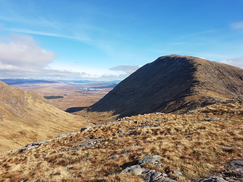
Allt Coire na Muic and Creag an Steallaire again.Beinn Achaladair, Beinn an Dothaidh and Beinn Dorain.
Our enjoyment was only tempered by the realisation that the others were probably enjoying superb views from their chosen hills, which had cleared and were bathed in sunshine, whilst our own route, or at least the higher part of it, remained stubbornly in the cloud…
Stob Ghabhar – still in the cloud.
What’s the opposite of schadenfreude? Rather than pleasure found in the misfortune of others, pain occasioned by another’s good luck? Of course, the Germans have a word for it – Gluckschmerz, literally luck-pain. You can see that TC is upset by it here…
The Tower Captain following the Abhainn Shira.
Actually, I think we were both enjoying this part of the walk, now that it wasn’t raining and the views and scenery were rather good.
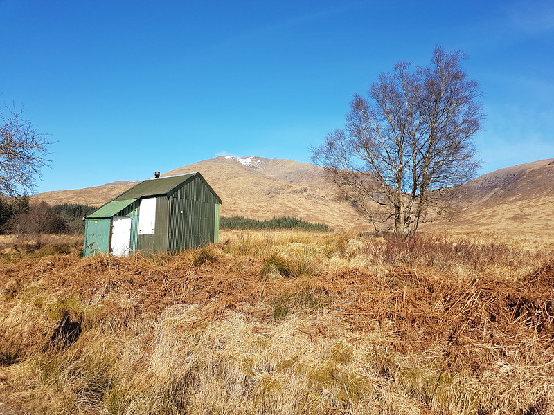
The shed behind TC is the Clashgour Hut, a corrugated iron monstrosity which belongs to Glasgow University Mountaineering Club. It’s bookable. Maybe it’s much more comfortable on the inside than the exterior suggested, but, frankly: rather you than me.
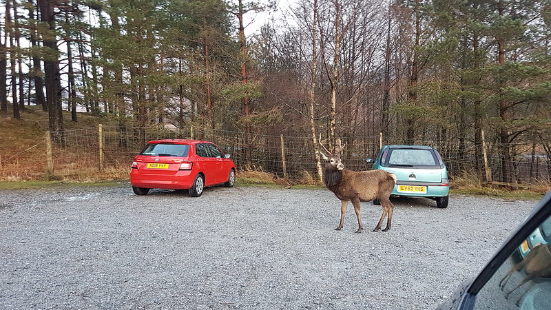
We saw a number of Red Deer stags as we neared the end of our walk, including one in the garden of one of the remote houses we passed.
Then, as we sat in the car gently steaming and finishing off the contents of our flasks, one wandered through the car park…
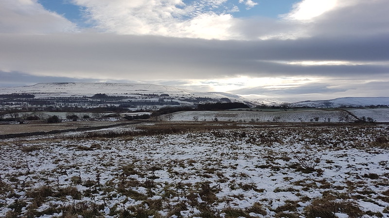
Wensleydale. Penhill and Height of Hazely in the background.
Every year, at the start of December, I get a Monday off work. Actually, this year, it was the last Monday in November. It’s intended as a Christmas shopping break, which is anathema to me, and I habitually moan about it, but despite my indifference to the idea, since the inception of this one day holiday, I’ve had a string of great days out.
This year was no exception. Happily, TBH, being part-time, gets a Monday off every fortnight and this fell on one of those Mondays. So she had transferred the booking she made for a night away, to celebrate our wedding anniversary, to the Sunday night after Storm Arwen.
We stayed at the Wheatsheaf at Carperby, in the Yorkshire Dales, which was very welcoming and comfortable, with nice beer and lovely food (if somewhat limited for vegans). On the Sunday evening we sat in the bar watching the Ladies’ Darts Team play a match and played cribbage ourselves, before retiring to our four-poster bed. (Don’t think I’ve slept in one before – can’t say I noticed any difference!)
On the Monday, the landlady was happy for us to leave our car in their carpark whilst we went for a walk, so we set-off from there, across the snowy fields and through the snowy woods…
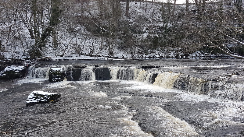
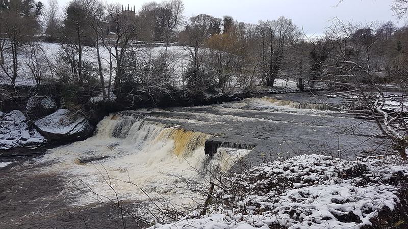
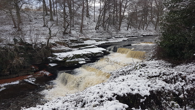
…to Aysgarth Falls on the River Ure.
I don’t think I’ve ever been here before, which given that it’s about a forty-five minute drive from home is a bit of an oversight.
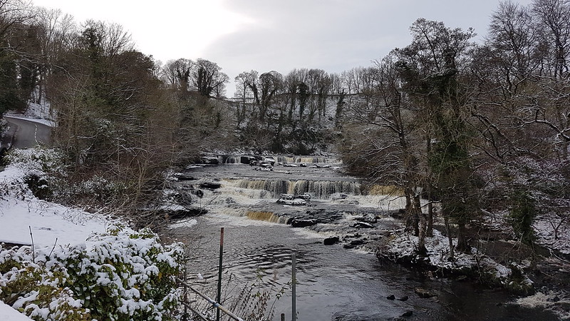
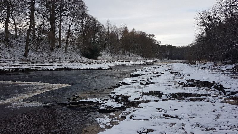
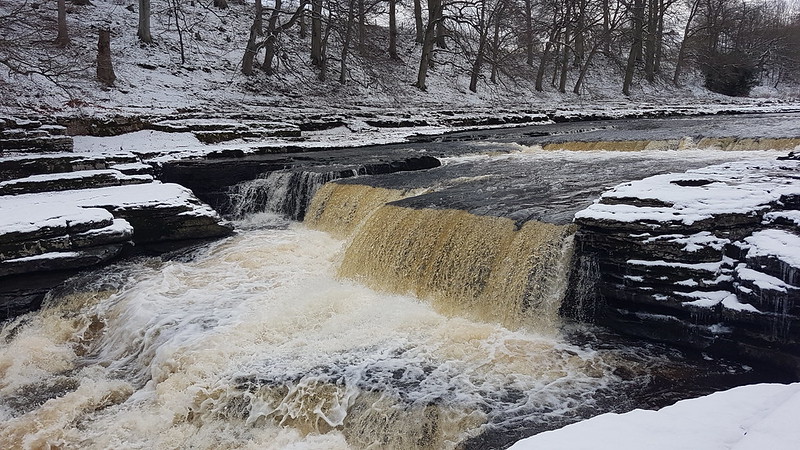
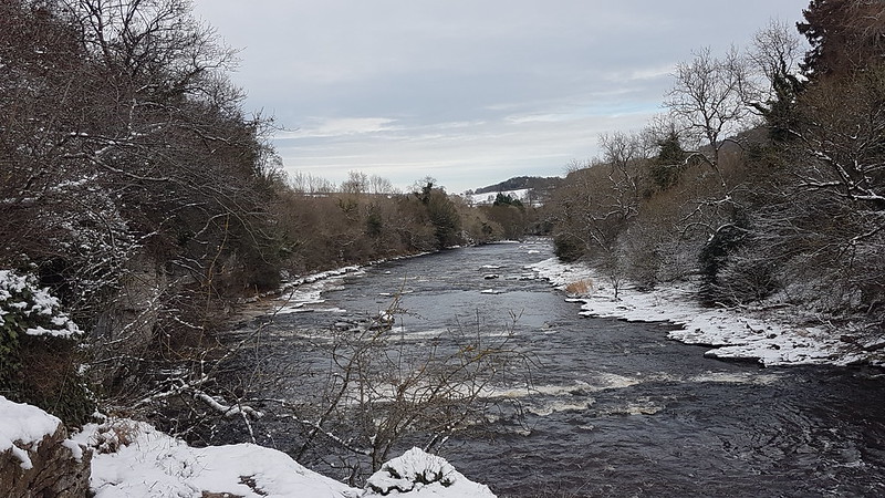
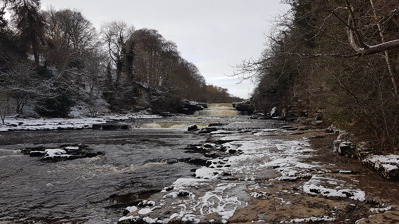
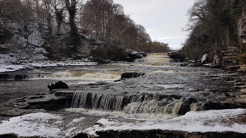
Part of High Force.Another part of High Force.High Force from Yore Bridge.Middle Force.River Ure – looking upstream from Lower Force.Part of Lower Force.River Ure – looking downstream from Lower Force.Lower Force.
TBH left me at Middle Force, because she didn’t want to watch me scuttling around on the snow covered banks taking photos – she was worried I would fall in. When I eventually tried to catch her up, I couldn’t work out where she’d gone. It turned out she’d found a rocky little scramble which took us down to the bank of the river. A broad shelf of limestone, wet, icy, snowy, uneven – essentially an accident waiting to happen – gave a route back up toward the falls.
Could I resist temptation? Could I ‘eck!
Lower Force.
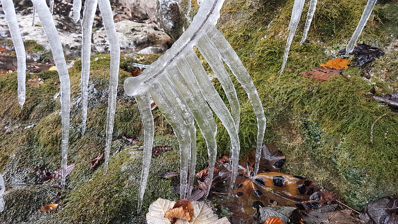
The steep, rocky bank here was dripping wet and where the water was running down the rocks anything below was liable to have acquired a thick coating of ice. Twigs….
Even blades of grass…
Lower Force – from as close as I managed to get.The treacherous route back. Amazingly, I managed not to fall over. Or in.
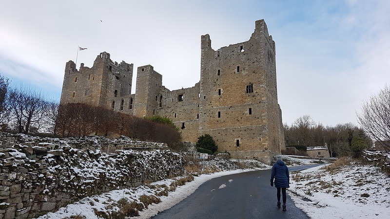
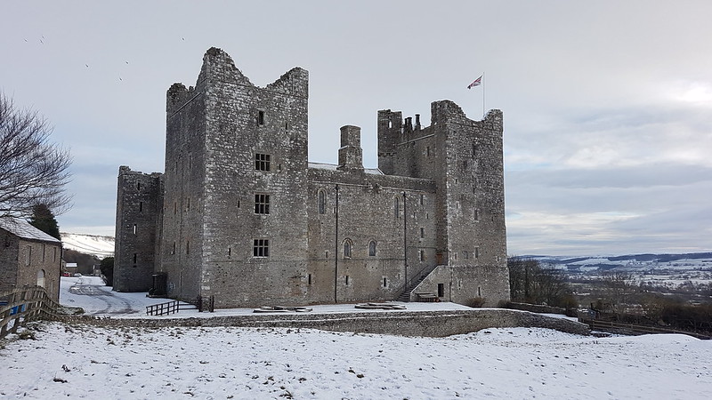
From Lower Force, we climbed away from the Ure and across the fields towards the village of Castle Bolton, which is dominated by Bolton Castle.
Our first view of Bolton Castle.Getting closer.Nearly there.In Castle Bolton.
I’m almost as much a sucker for castles as I am for waterfalls, and so was once again snapping away like a loon.
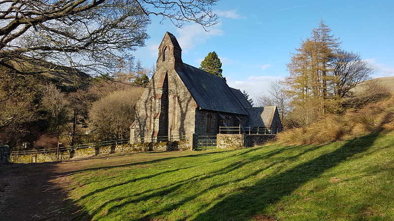
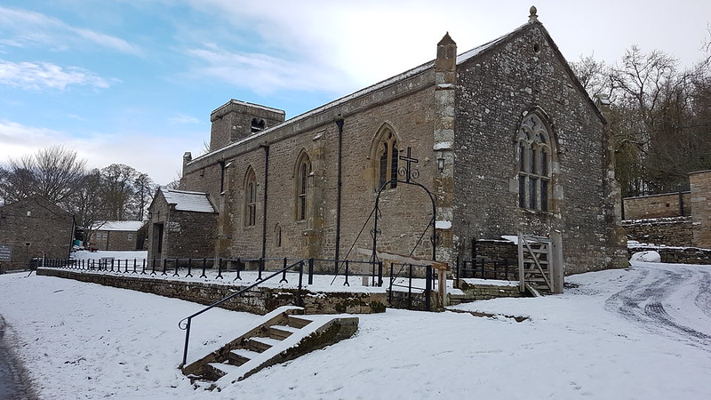
St. Oswald’s Church.
Bolton Castle is remarkably well preserved for an English Castle, most of which were ‘slighted’ during the Civil War. I shall definitely have to come back to have a proper look around at some point. And a peek in the church too.
Wensleydale.
There’s a very direct route from Castle Bolton via West Bolton back to Carperby. The wind had picked up and it was now bitterly cold. I really should have stopped and put more layers on.
The tea rooms at Yore Bridge had not yet opened when we got there, and Castle Bolton didn’t have anywhere serving refreshments (though I think the castle has a restaurant in the tourist season), so once we got back to Carperby, we drove to Hawes for a very late cafe lunch, then hurried home to meet the boys from the train.
Not only had I enjoyed the walk enormously for its own sake, I was also pleased that I’d had no obvious Covid fatigue hangover, and I’d had no problems with my Plantar Fasciitis. I’ve had issues with it for years, on and off, but recently it had been much worse. I’d seen a physio who had me working on a programme of stretches and I was pleased that they were seemingly having a positive impact. (And continue to do so.)
Long-suffering adherents of this blog will know that on my birthday I like to climb a hill, preferably with some company.
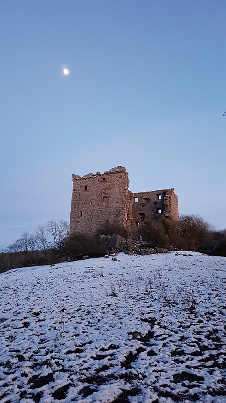
Rockhall
This year we interpreted the latest, long-awaited, relaxation of the Covid rules to imply that we could travel beyond our immediate area and also meet up with some friends.
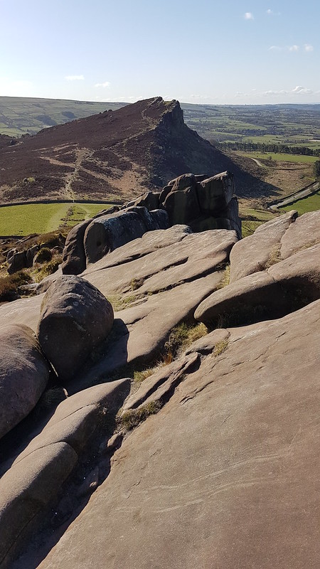
Hen Cloud again.
The forecast was from from perfect, but the day started very well: cold admittedly, but also bright and clear.
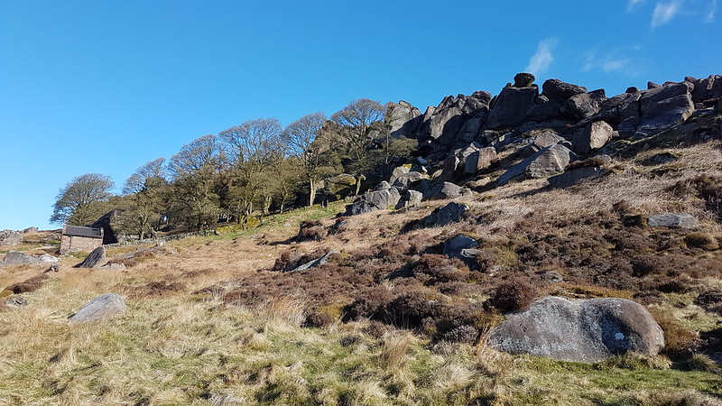
Little S on the RoachesTittesworth Resevoir – Leek beyond.Roaches rock formations.The Trig Pillar.I have a feeling that these rock towers are probably all named. Lunch/brew stop number one.
Out of the cold wind, and in the sunshine, it even felt quite warm.
The DBsBack Forest. Shutlingsloe on the right.Lud’s Church.The DBs again.TBF crossing the stepping stones in Black Brook.
We had a second stop, in a sheltered little lane above the River Dane, if anything even warmer than the first.
After that, the weather deteriorated rapidly…
Heavy snow!Again, this Tor surely has a name, but it isn’t on the OS map.Lunch/brew stop number three. Ill-advised!
For a while it came down thick and fast, in sharp contrast to what had come before.
We slightly shortened our intended route, taking a more direct route back towards the cars.
Tittesworth reservoir again, backed by ominous clouds.
Only for the weather to abruptly improve again.
Hen Cloud again.One final view over Tittesworth reservoir.
It as a terrific outing, just what the doctor ordered.
Andy has a fuller account here, with a wider selection of photos and a map of our route.
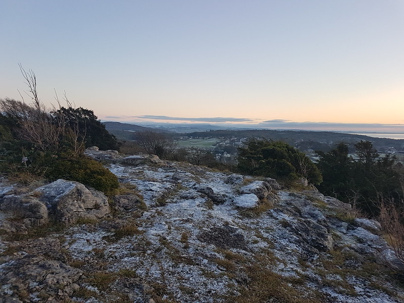
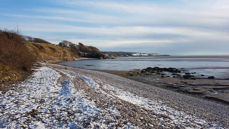
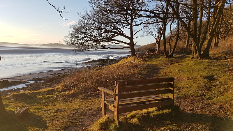
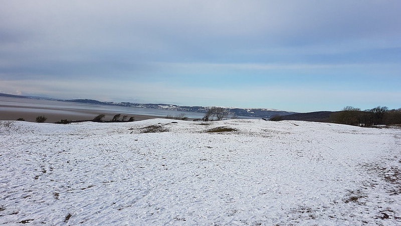
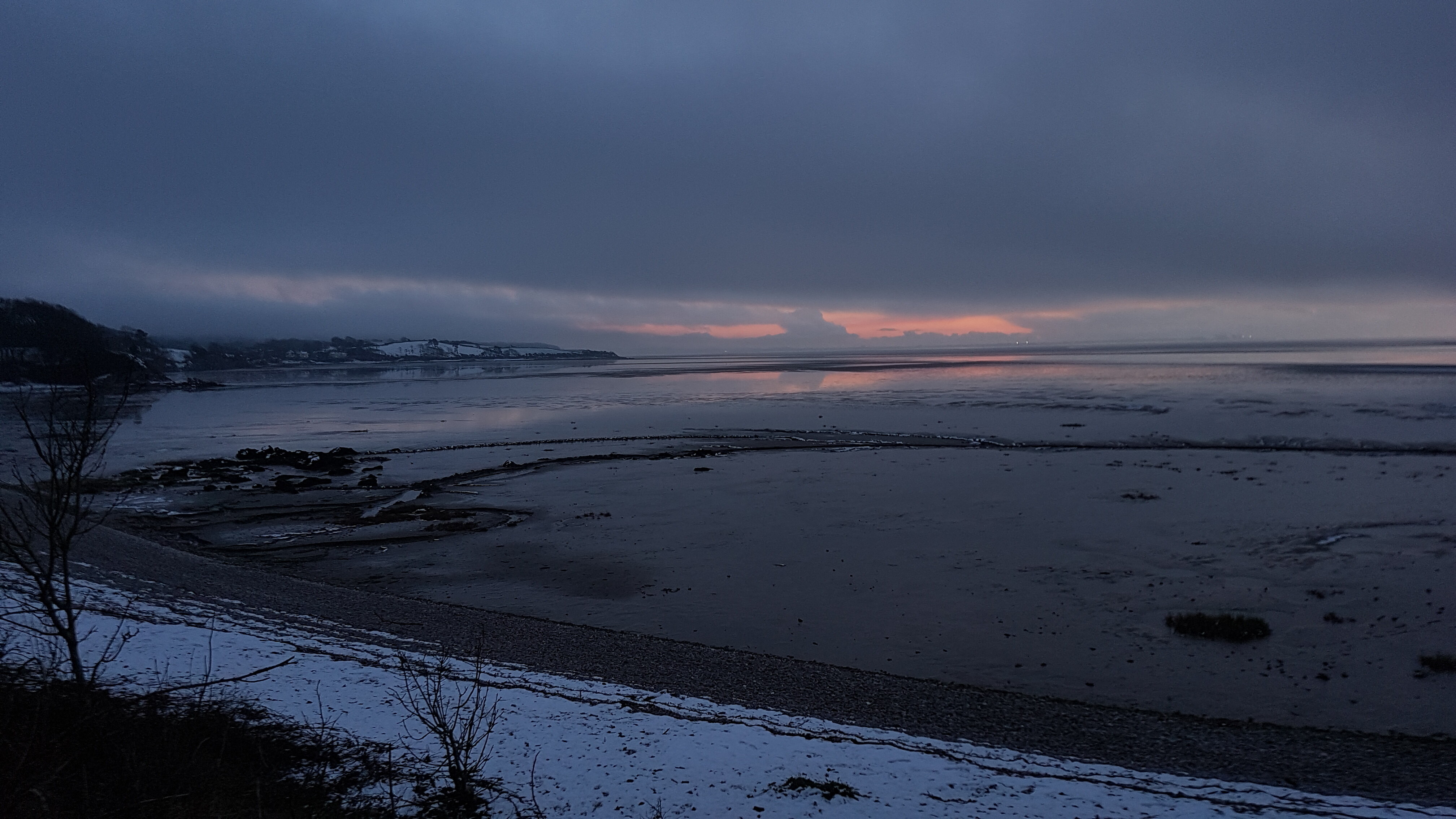
The view south along the coast from ‘the dip’, looking to Know End Point.
A quick stop at home, long enough to pack-up a sarnie and fill an insulated mug with tea, and I was out again, heading for ‘the dip’ where a large tree-stump looked very inviting. It proved to be a comfortable spot from which to enjoy the views and soak up some sunshine and quaff my picnic lunch.
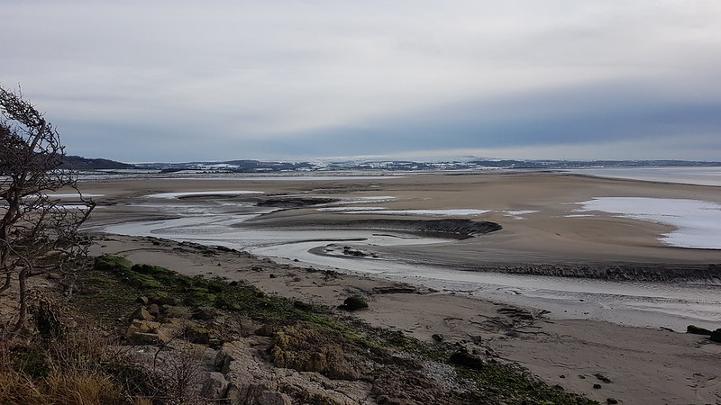
From there I set of along the sands/mud…
…regaining the shore just past Far Arnside.
The insulated mug had been so effective that I hadn’t managed to drink my tea with my sandwich, which gave me the perfect excuse to lay claim to this bench and have another lengthy sun-bathe.
I’d been sitting so long that I was now conscious of the fact that daylight was getting short, so rather than continuing around the coast towards Arnside, I took a steep, direct route up to Heathwaite.
Ingleborough from Heathwaite.And again, with a bit of zoom.The Bay and the Forest of Bowland from Heathwaite.
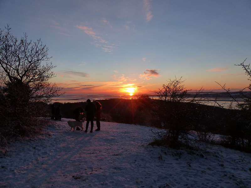
I wandered up to the toposcope on the Knott, where someone had scattered some birdseed, which this very tame Robin was not going to be deflected from enjoying, despite the presence of several people and a couple of dogs.
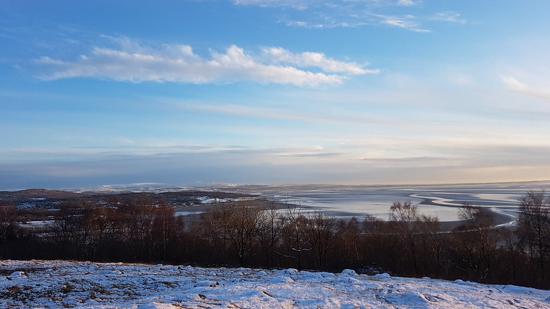
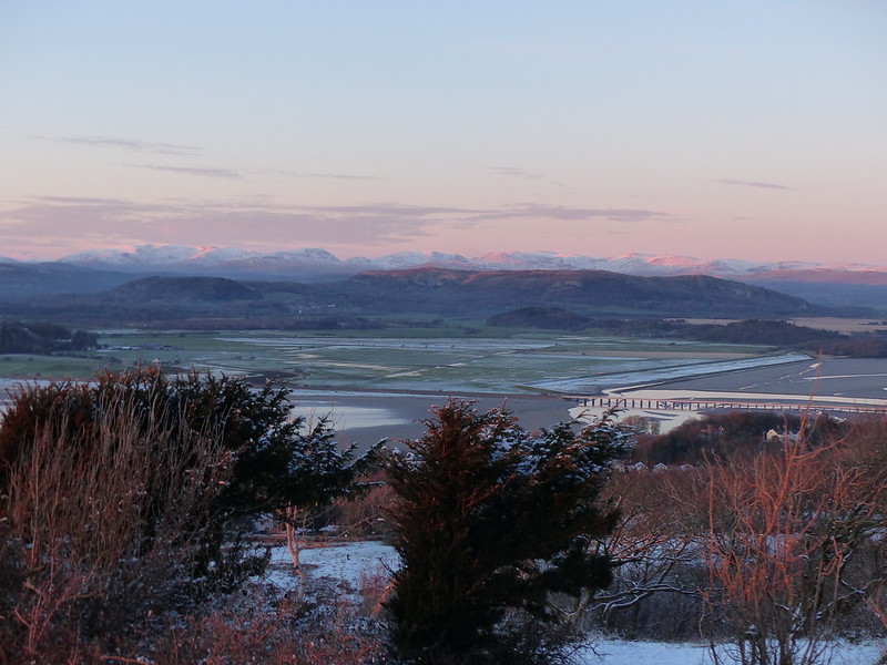
Alpenglow on Whitbarrow and the Eastern Fells.The Coniston and Langdale Fells.Around the Kent Estuary and the Howgills on the right.
The small groups of people were there, of course, to watch the sunset.
After my two walk Saturday – a two walk Sunday. Every year, January always seems to find me at a peak of motivation to get outside, I’m not entirely sure why.
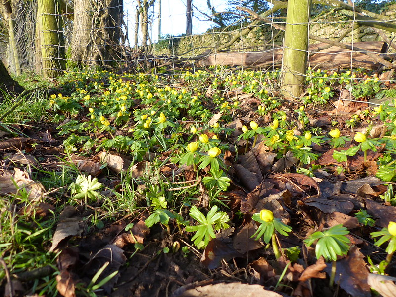
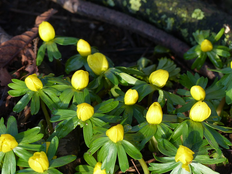
One reason to get out on Sunday morning was that I’d seen, on a local Facebook page, photos of these very cheery aconites. I believe this field, near the ‘new’ Cricket pitch, was donated to the National Trust, but the owners first planted this strip with spring bulbs.
I’ve cheated slightly – the photos of the aconites came from the second walk, when the light was better. I’d already seen them on the second of my Saturday walks, but it was virtually dark at that time so I hadn’t taken any photos. Since I knew that TBH would appreciate them, we diverged slightly from our usual Sunday morning routine and set-off that way and then crossed the still snowy Lots…
A bit of blue sky over Grange – a hint of what was to come.
Our Sunday morning walk, easily completed in an hour and a half, often took over two hours, and on this occasion, admittedly when we took a different, slightly longer, route, stretched to three hours. The reason for this variation being the many conversations we had with friends from the village we met whilst out and about. On this walk we bumped into our friend R, who was walking her dog, and she joined us for a socially-distanced chat. Then we met two groups of mutual friends and stopped both times for lengthy catch-ups. It was all very pleasant, if a little cold.
Because we were walking around Jenny Brown’s Point every Sunday, we were able to watch the rapid changes of the course of Quicksand Pool and the decay of the steep bank on the far side of the stream. We didn’t have to admire the view for long before we would witness large chunks tumble into the water.
Although we were now back on our usual route, we were walking widdershins, in the opposite direction to our habitual outing, and now decided to return via Heald Brow rather than up through Fleagarth Wood. I can’t remember why, probably because it’s more direct and and TBH was ready for some lunch, having been out for so long.
The white hills just peaking above the horizon in this photo are the Coniston Fells.
Conscious of how early it would get dark, I had other plans for my lunch, especially since it had suddenly brightened up. I thought a picnic lunch and another walk would be just the ticket; but I’ll save that for another post.
…which is more than can be said for the poor old blog!
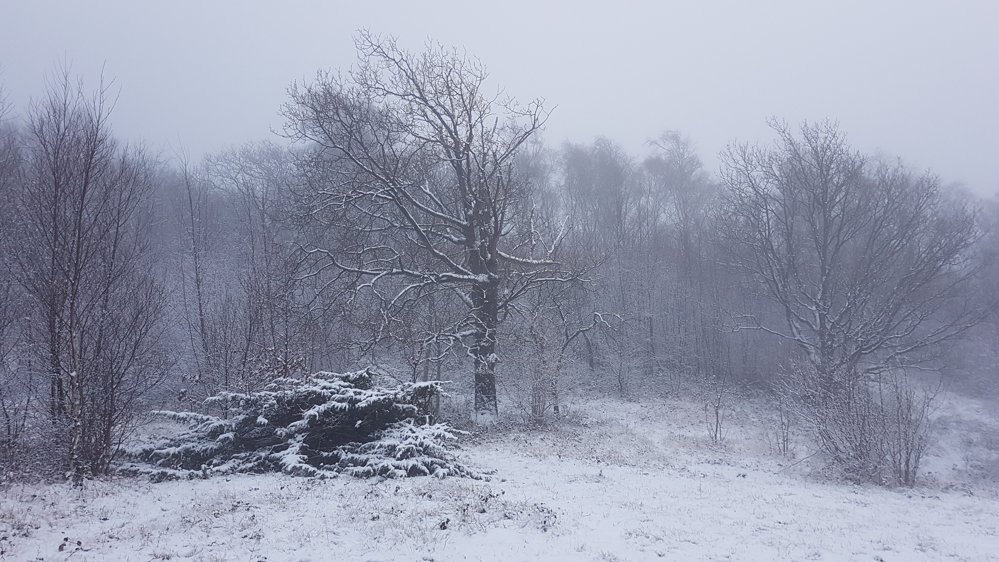
So..this is the second-half of a snowy January Saturday. Near the end of my morning walk with TBH and A the sun finally made an appearance. After lunch, when I set out again, this time alone, there was still some blue sky in evidence, enough to patch a sailor’s trousers, as my mum puts it. On south facing slopes the snow soon melted, leaving an odd patchwork of green and white.
Eaves Wood.Stinking Hellebore, one of the first flowers of the year.
I was heading, initially, for Gait Barrows. This…
…is usually a tiny little spring which creates a small pool before disappearing back underground. On this occasion, as you can see, it was creating a stream which had flooded the gateway and was flowing across the adjacent field.
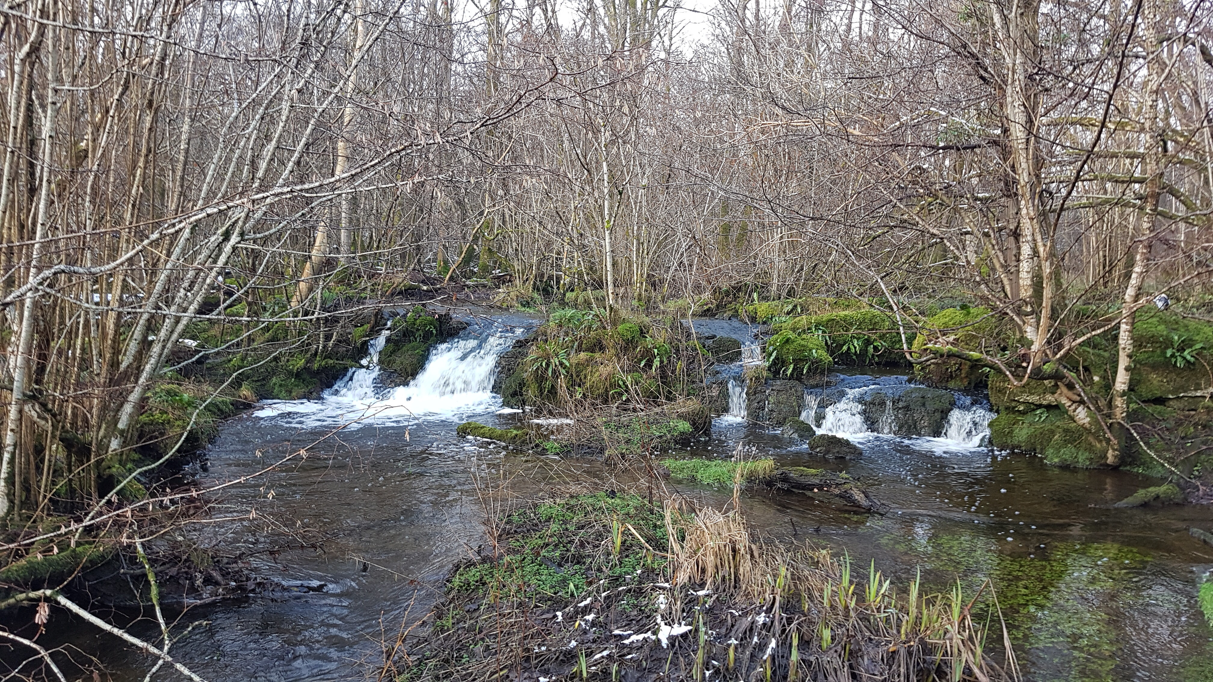
From Gait Barrows, I crossed Coldwell Meadow, heading for the ruin of Coldwell Limeworks in Back Wood, but was distracted by the sound of this cascade on Leighton Beck..
It’s not very big, but a bit of a rarity in limestone country where the water is often below the surface. No name is given on the OS map, but it’s close to the wonderfully named Creep-i’-th’-call Bridge, so maybe Creep-i’-th’-call Falls, which has a nice ring to it?
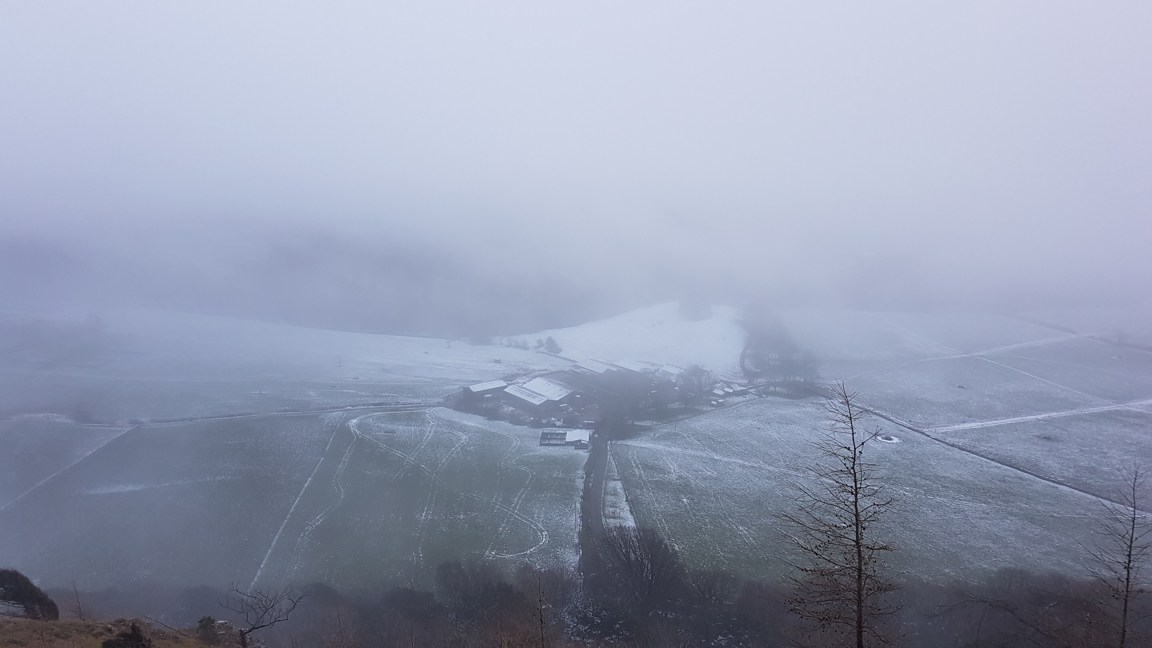
Coldwell LimeworksMiddlebarrow Quarry, partly obscured by very low clouds.Arnside Knott, also hidden in clouds.
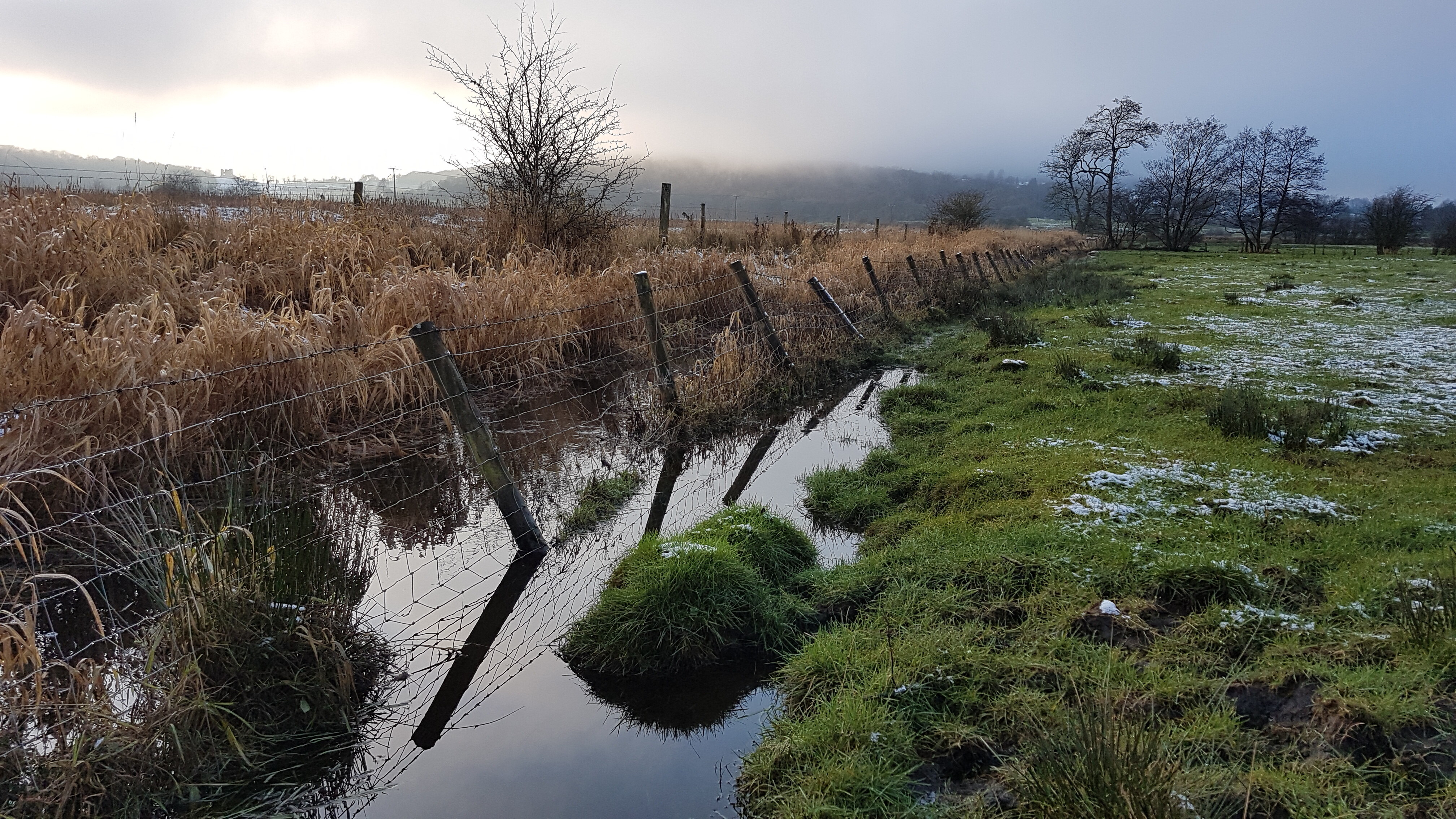
Near Arnside, by Black Dyke, I was fortunate to find a way around this flooded section of path.
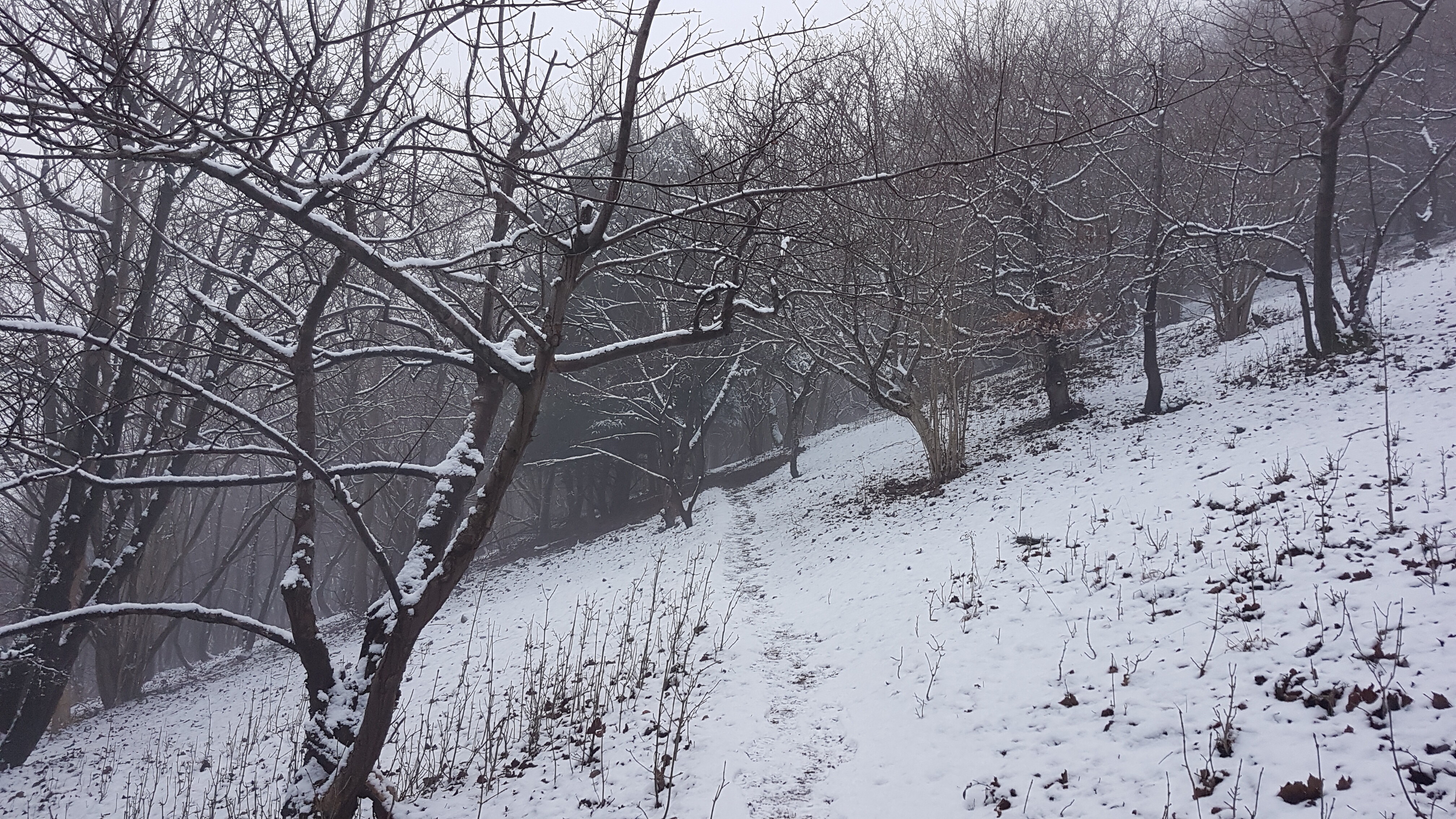
I climbed Arnside Knott, soon entering the cloud to find that the snow had clung on under the cover of the cloud.
Arnside Tower Farm and a hint of Middlebarrow Wood.
Whilst I generally enjoy the views from the Knott, it was quite exhilarating to be in the clouds and the monotone woods and apparently cut-off from the surroundings.
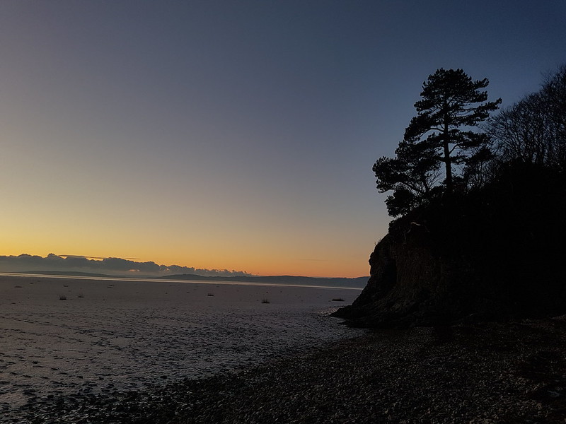
The last of the light from ‘The Dip’, between Far Arnside and Silverdale.