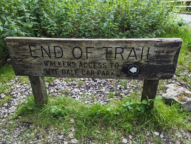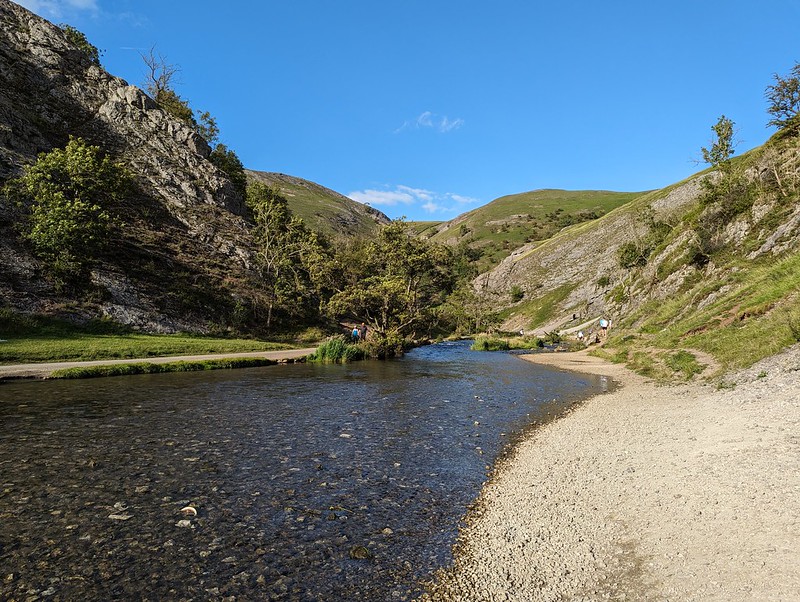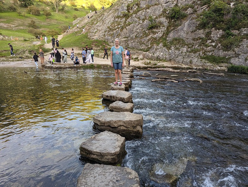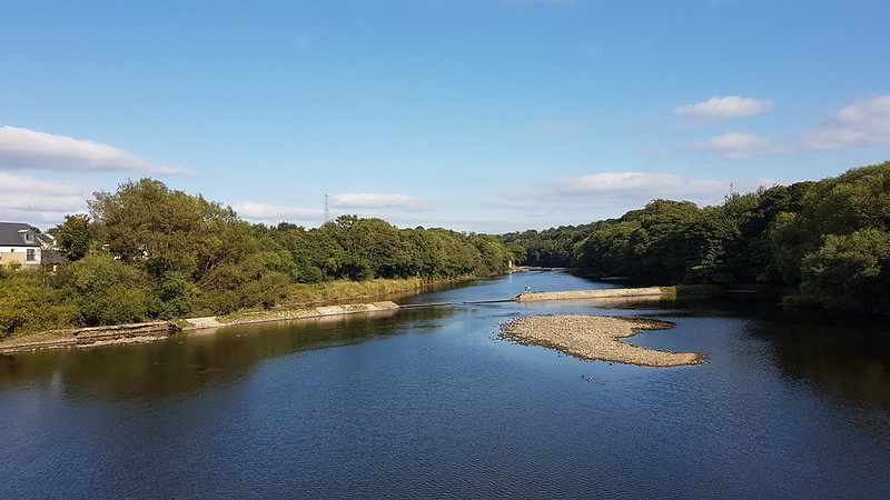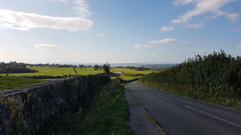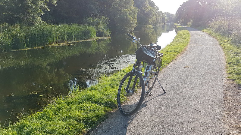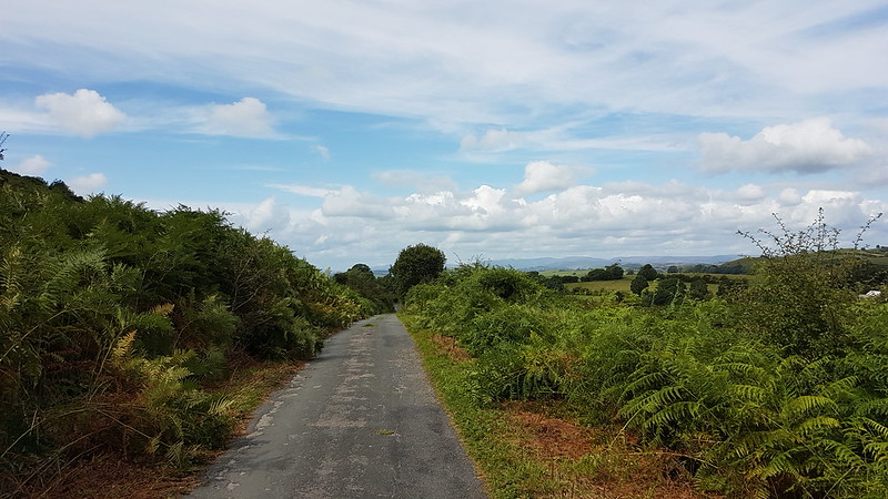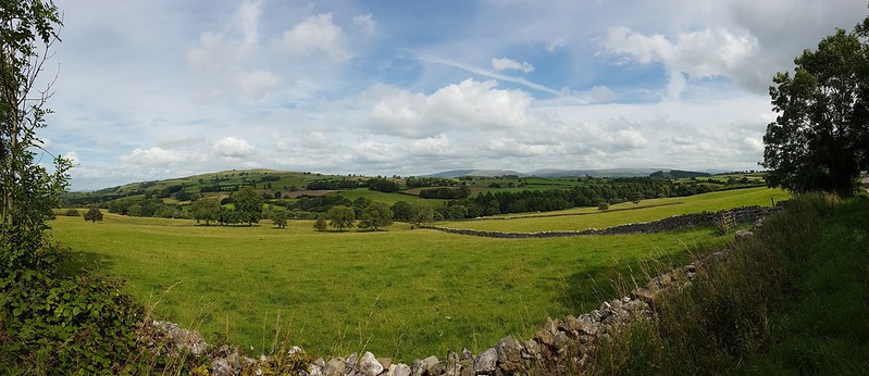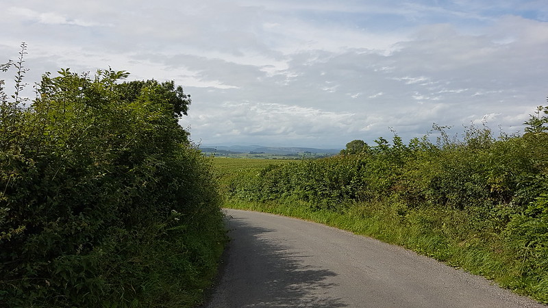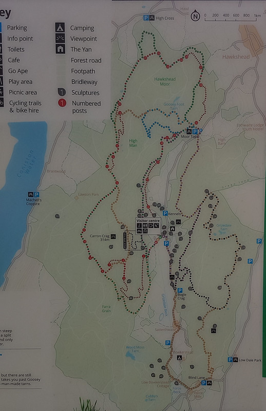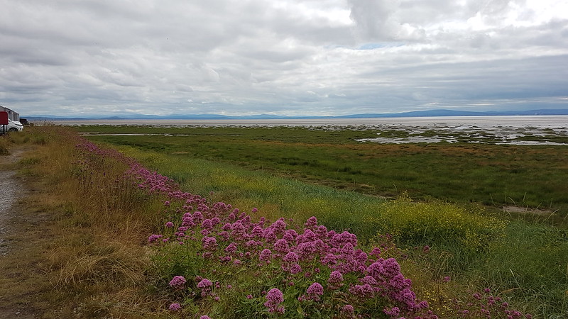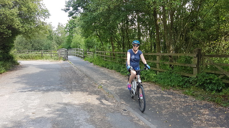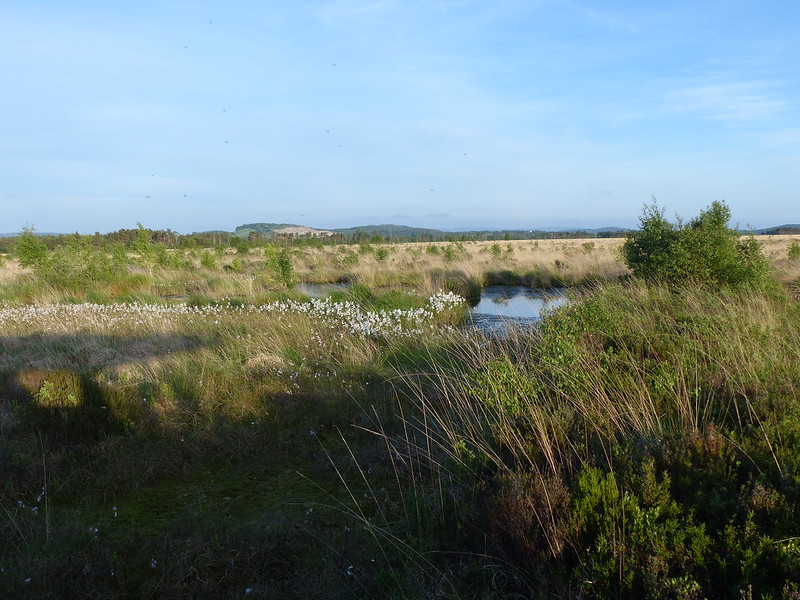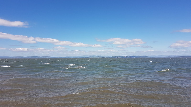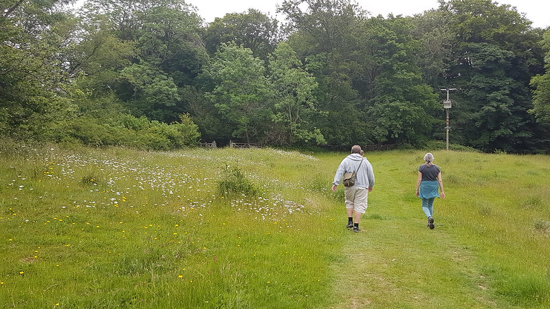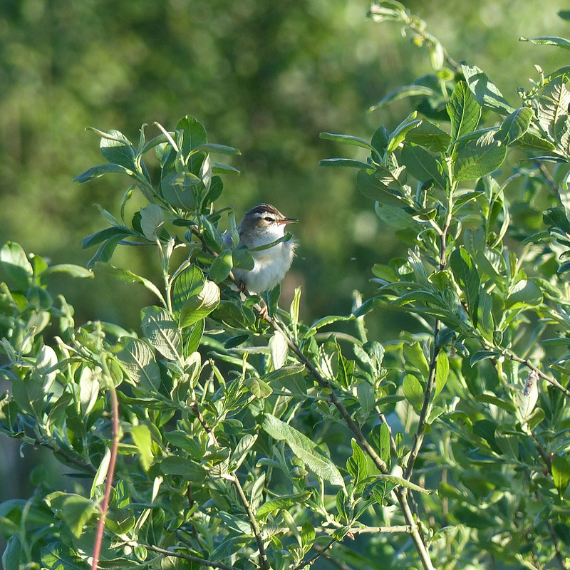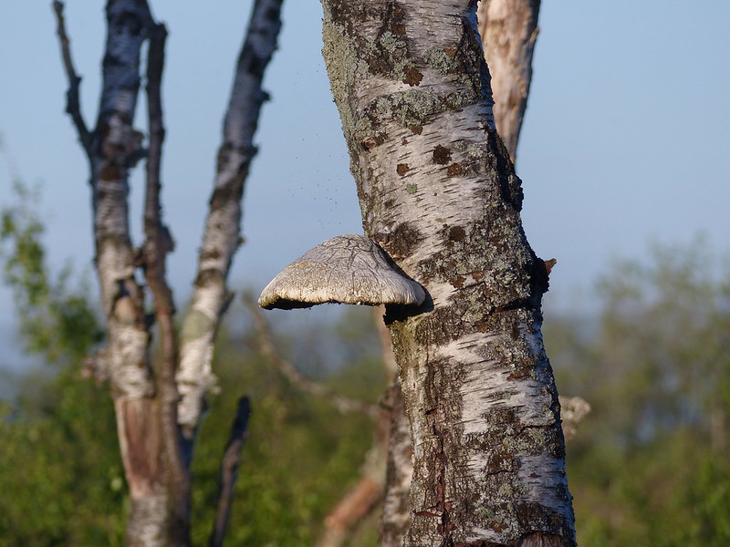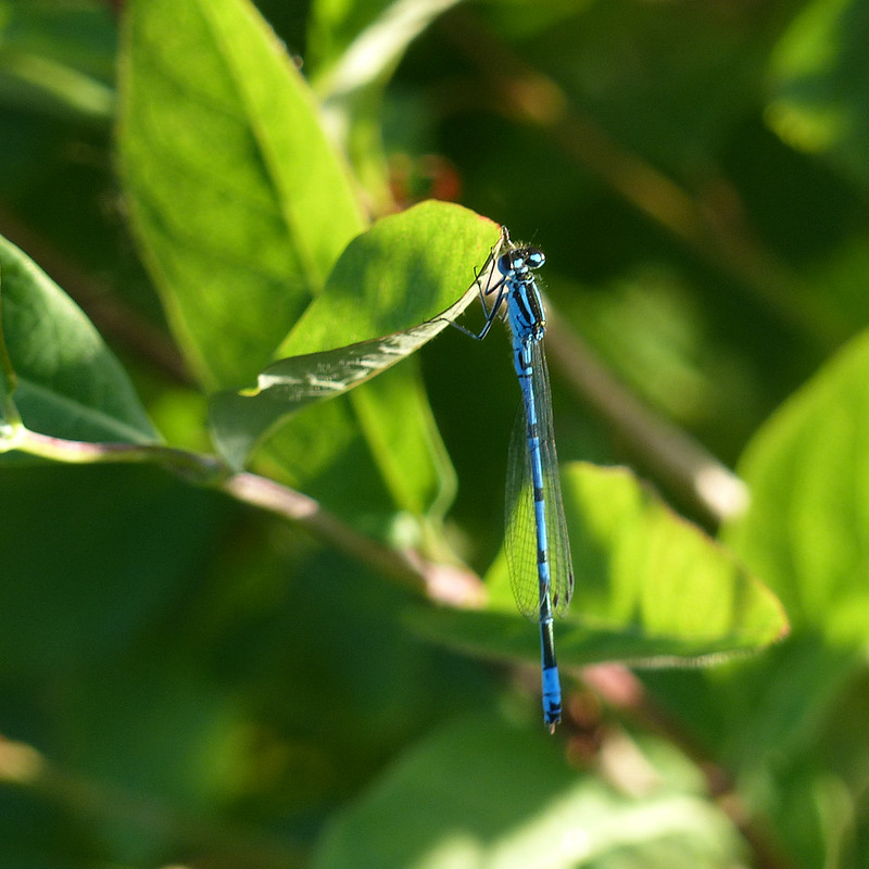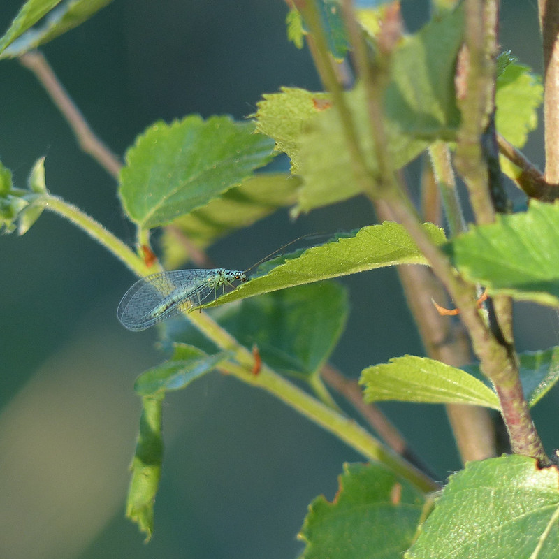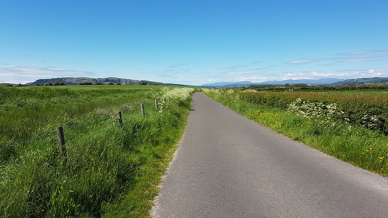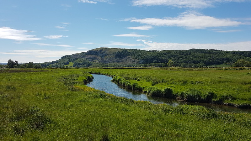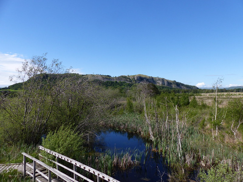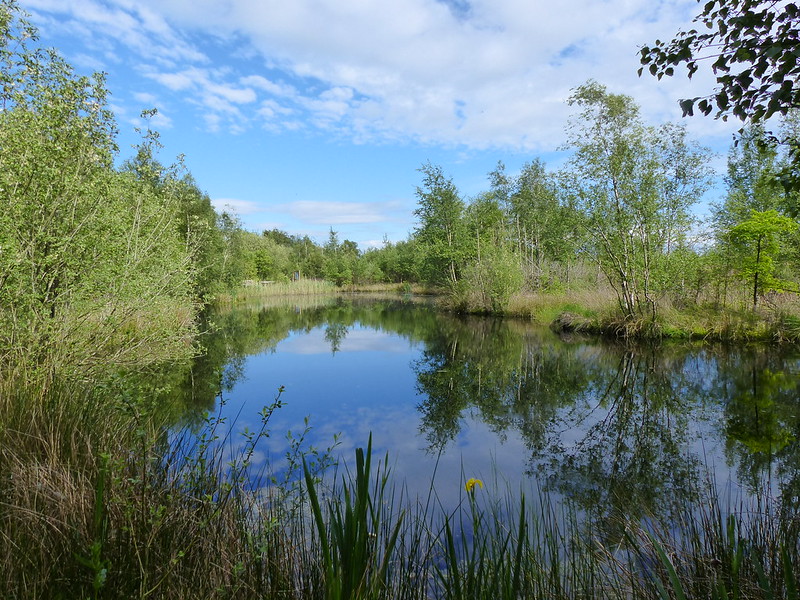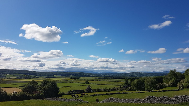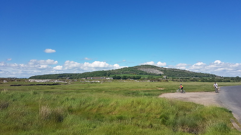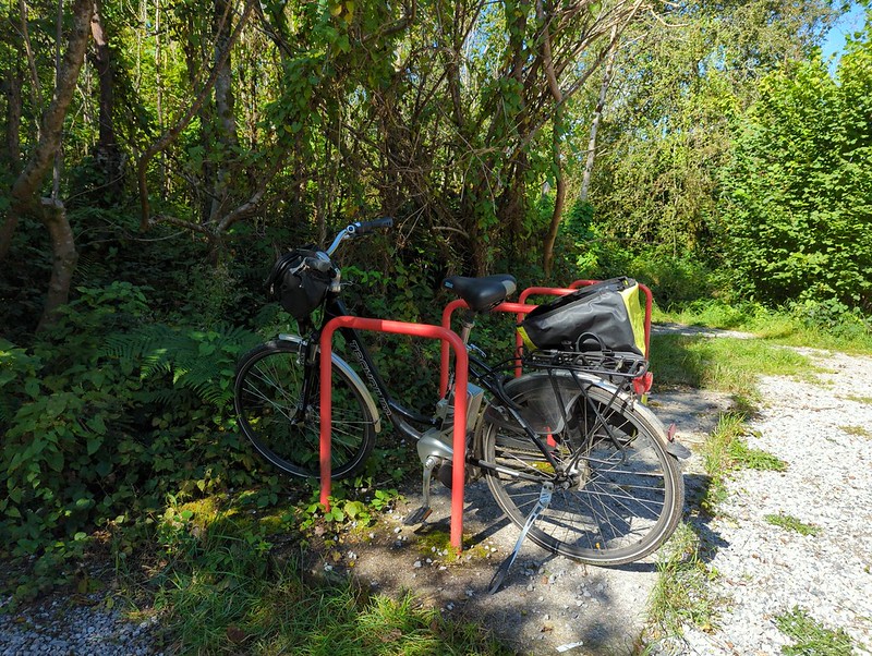
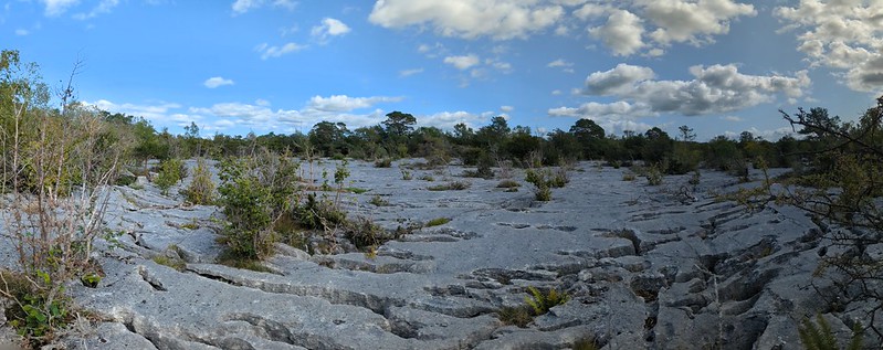
In brief, I cycled roughly three kilometres to the small car park at Gait Barrows National Nature Reserve, then had a very slow wander, of roughly three kilometres, then pedalled home again.
Since there’s not much more to say about this particular outing, a word about the tentative IDs.
Although I’m still surrounded by field guides when I’m blogging (and am eagerly awaiting the release of the 4th edition of a UK hoverflies guide), much of my research these days is carried out online.
Google Lens often gives me a good start point. Sometimes it seems fully confident and offers me numerous images of the same species along with a related search. At other times, frankly, it might as well throw up it’s notional hands and admit that it hasn’t got a scoobie – showing images of several different species, sometimes of a kind which aren’t even related.
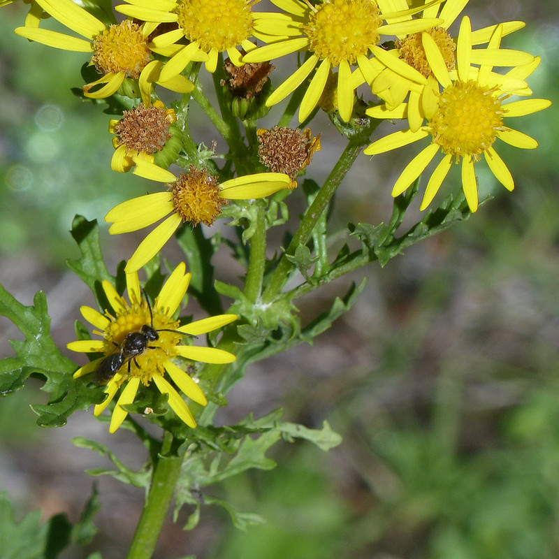
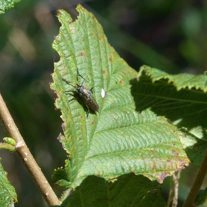
To be fair, according to the National History Museum website, there are over 7000 species of wasp resident in the UK. A little confusion might be expected.
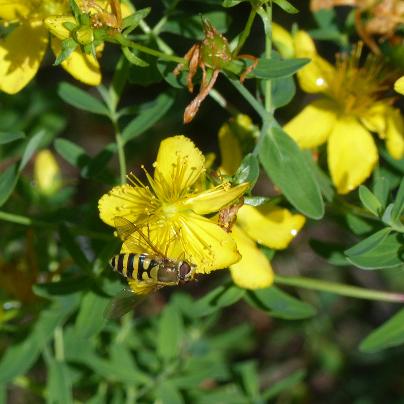
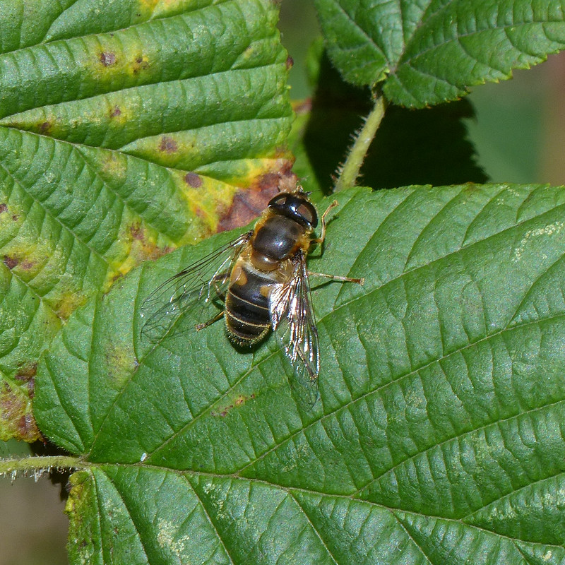
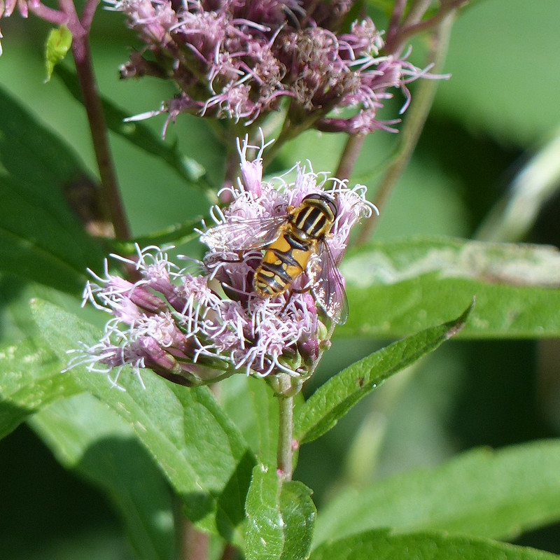
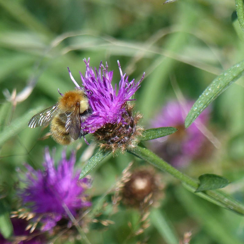
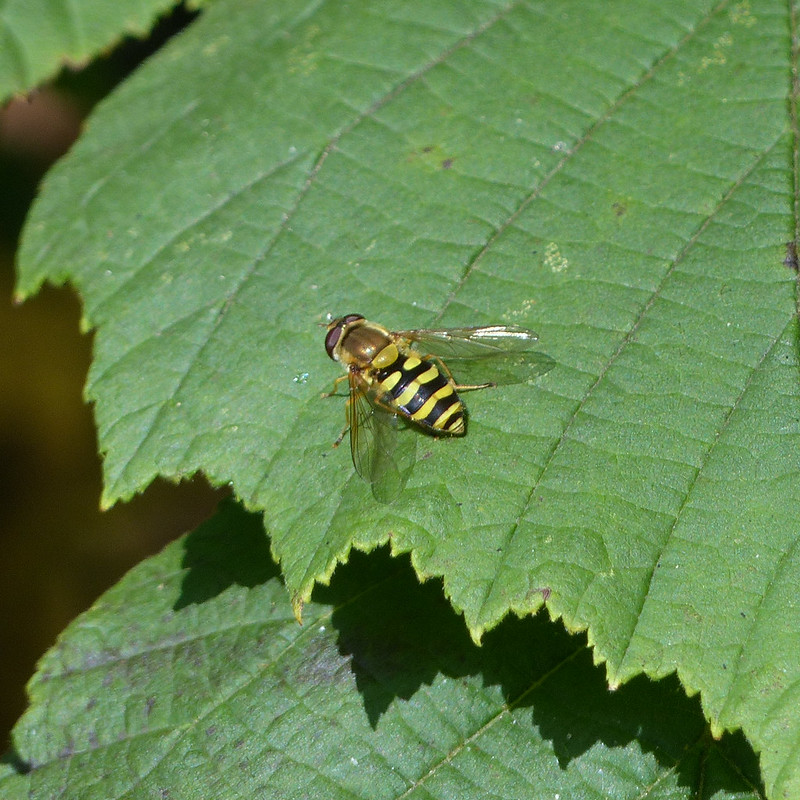
Even in the case of hoverflies, where there are a relatively modest number of species (around 280 apparently), making an ID can be very difficult. For example, I’ve identified a couple of the hoverflies in this post as Syrphus ribesii, but apparently the species Syrphus vitripennis is almost identical, barring some very subtle differences.
This information comes from the excellent Nature Spot website. Nature Spot is about the wildlife of Leicestershire and Rutland, coincidentally where I grew up, but is often relevant to my more northerly current locale. If I could find something as comprehensive specific to Lancashire and Cumbria I would be thrilled.
So, all of my identifications should be taken with an enormous pinch of salt. I’m well aware that I’m often going to be wrong, or simply clueless, but I’m learning all the time and I enjoy the detective work, even when it might lead to questionable conclusions.
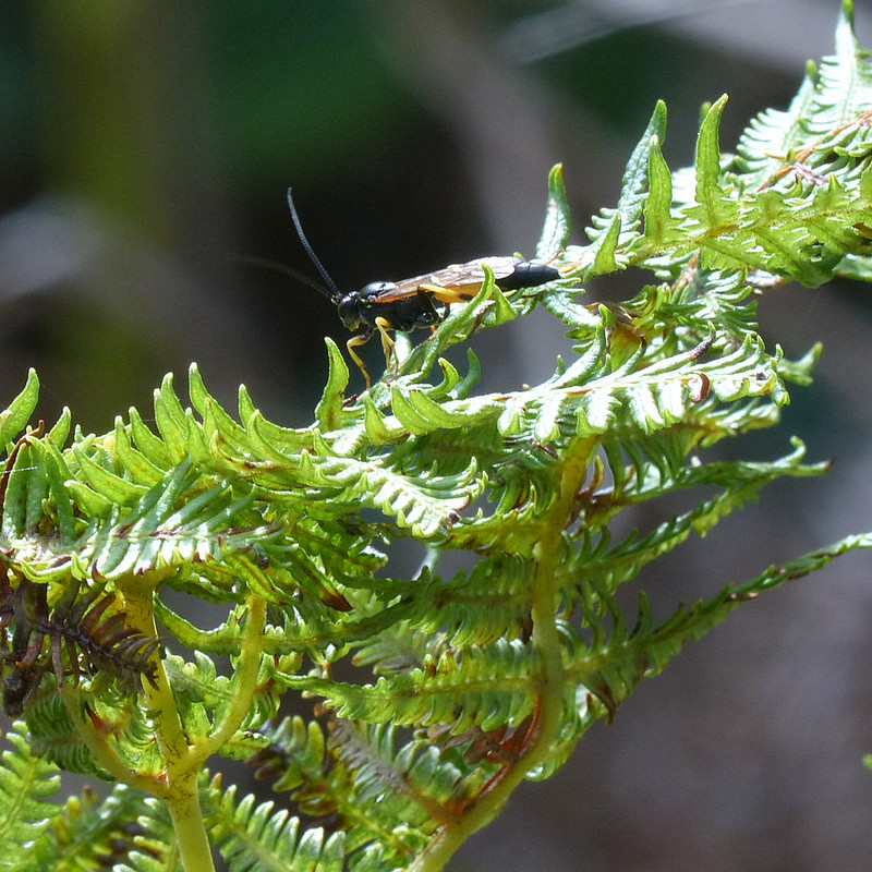
According to this detailed presentation, the UK only has 29 species of Robber Fly, so maybe that’s an area in which I could make some progress? To be honest, at the moment I’m content to leave it at ‘Robber Fly’. Last summer, I watched one of these intercept and kill a micromoth; they are awesome predators.


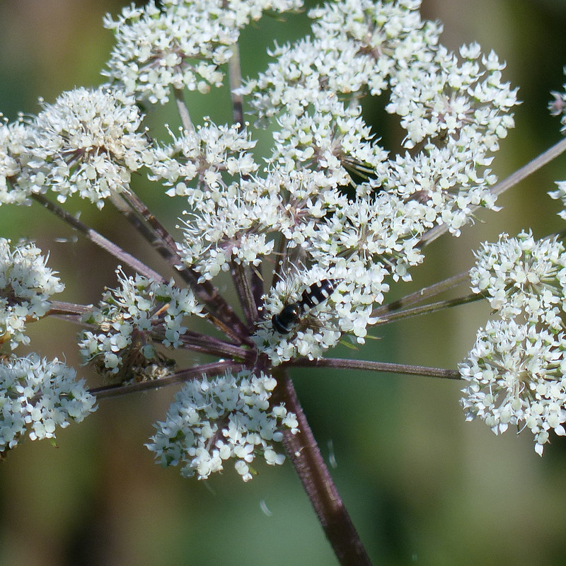
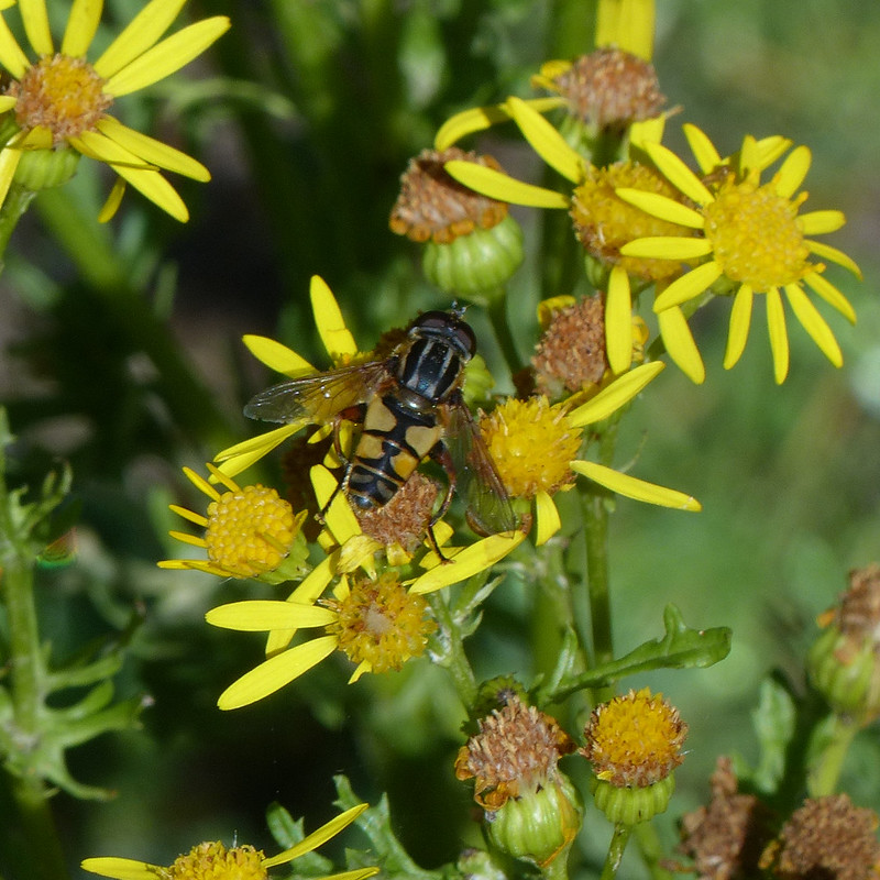
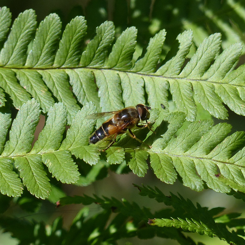
Many hoverflies are mostly black and yellow, but I do often see these small black and white hoverflies. I’m less successful and capturing them in photos though, so was happy to get this one.


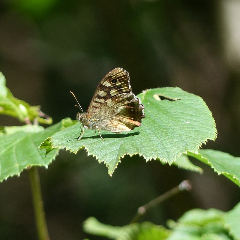
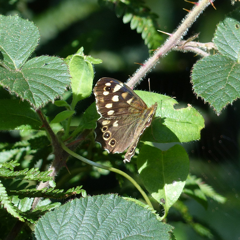


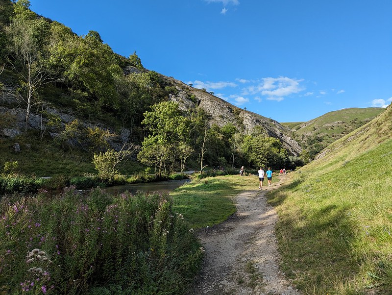
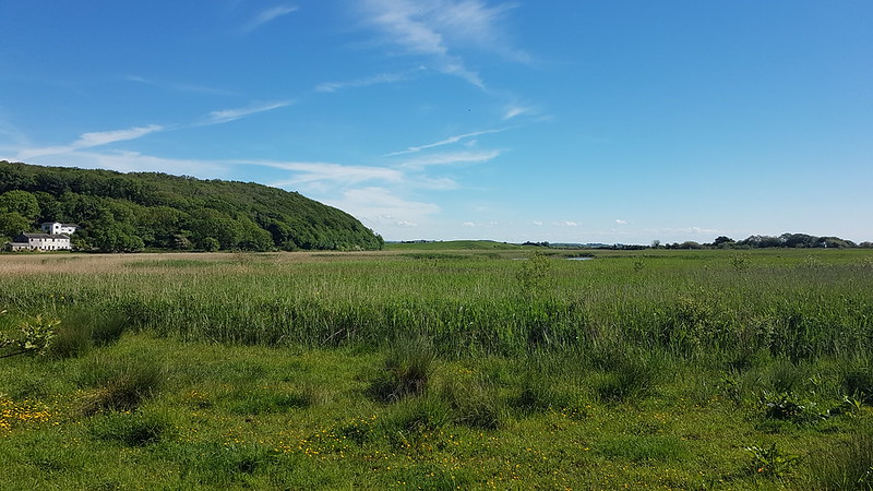
Whilst these photos are all from the tail end of last summer, I’m happy to report that on Tuesday afternoon, the rain paused briefly in its recent onslaughts, and I was back at Gait Barrows, in glorious spring sunshine snapping photos of shieldbugs, butterflies and particularly abundant hoverflies. Marvellous.