Bike Commute

20210901_081603
Lancaster Canal Aqueduct above the Lune.

The summer holiday came to an end, as it all too inevitably does, but for my first two days back, the boys were still at home, and therefore not requiring lifts, so I decided to cycle to and from work.

20210901_081608
The Lune, looking towards Lancaster.

Both mornings were overcast and surprisingly chilly, which probably suited me, as I was cycling to work and didn’t want to arrive all sweaty and red-faced. But both days brightened up, and the afternoons were very pleasant.

20210901_163054
Denny Beck Bridge, or Penny Bridge, Halton. Recycled from the original Greyhound Bridge in Lancaster. (Source)

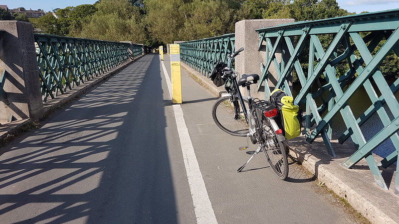
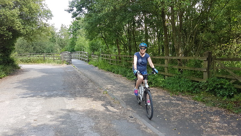
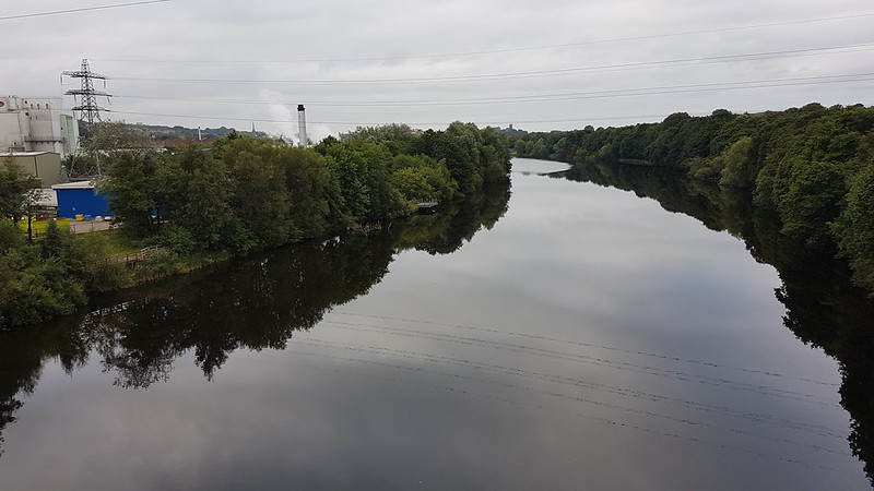
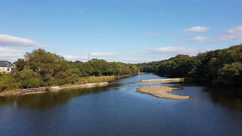
On the first afternoon, I cycled along the cycle-way, which shadows the Lune, as far as the former railway station at Halton. Well, across the river from Halton. Then crossed Denny Beck Bridge, which was built with parts of the old Greyhound Bridge, a railway bridge which had crossed the Lune in Lancaster. Denny Beck Bridge was built by the railway company as a toll bridge so that passengers could cross the Lune from Halton to get to the station.

20210901_163042
The Lune upstream of Denny Beck Bridge.

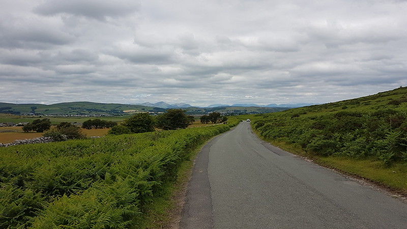
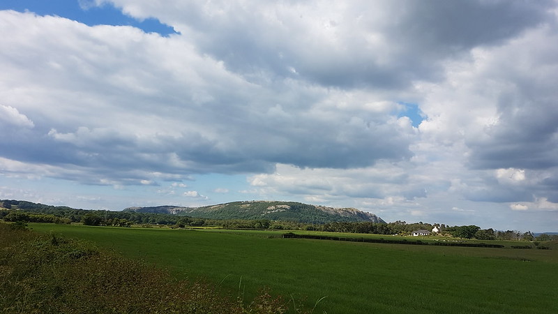
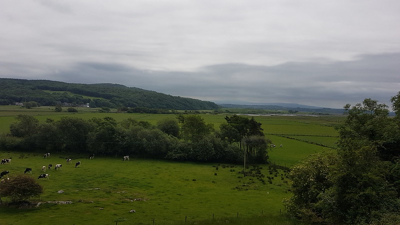
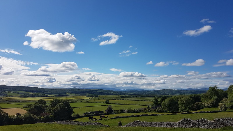
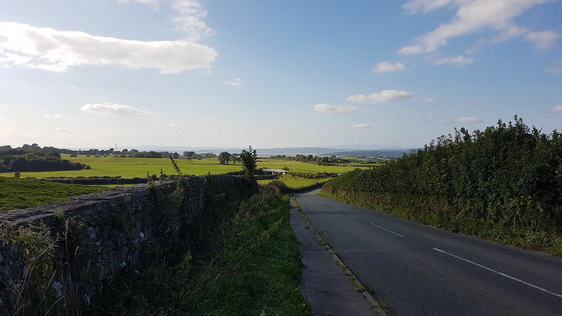
From Halton, it was a steep climb up to Four Lane Ends, where I turned on to Kellet Lane. I knew that the higher ground there would give me good views, although it was quite hazy, and I kept putting off taking a photo, on the basis that the view would probably be better ‘just around the corner’ etc, so that I didn’t actually snap a picture until I’d lost most of the height, was through the village of Nether Kellet, and cycling down Back Lane towards Carnforth.

20210901_165814
Coming Downhill out of Nether Kellet on Back Lane.

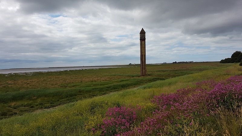
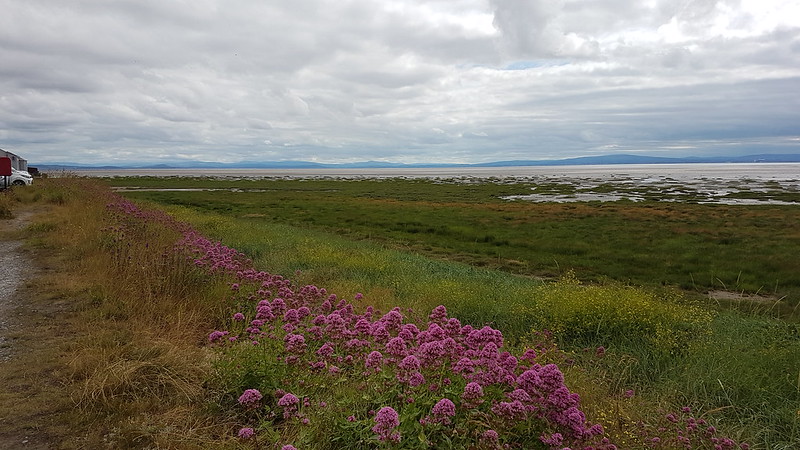
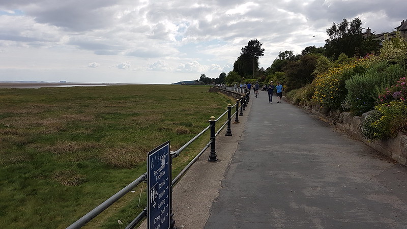
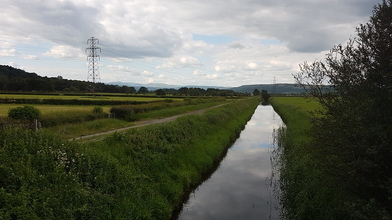
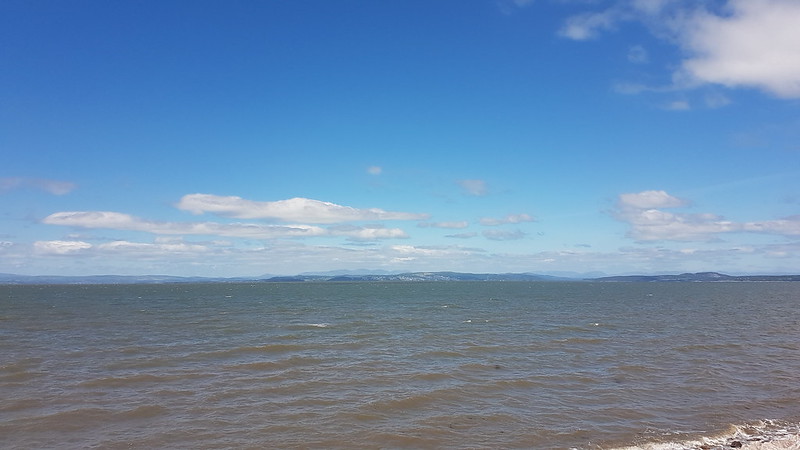
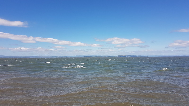
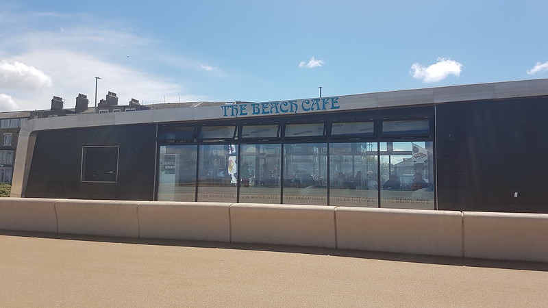
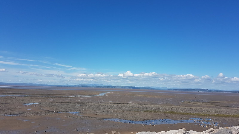
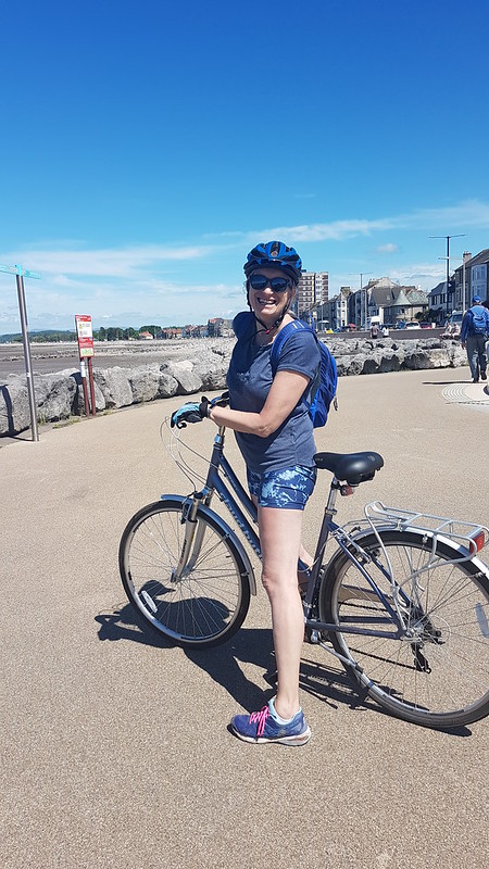
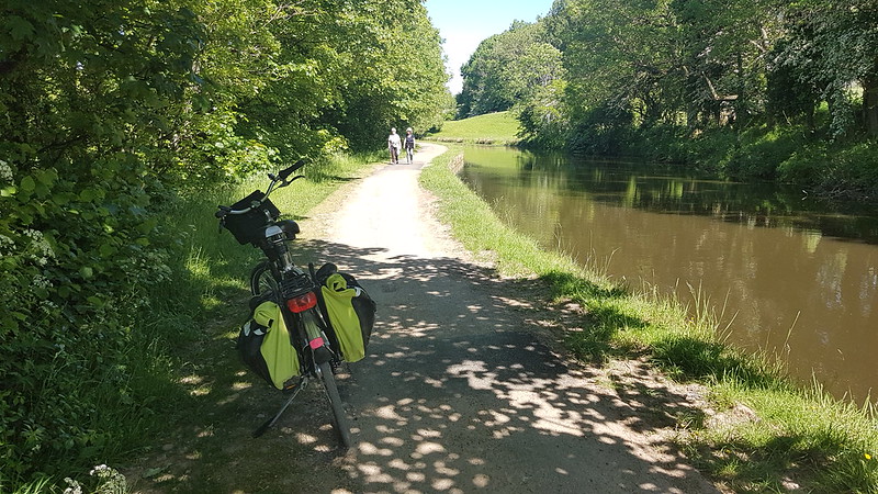
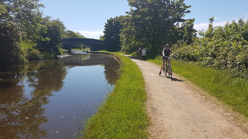
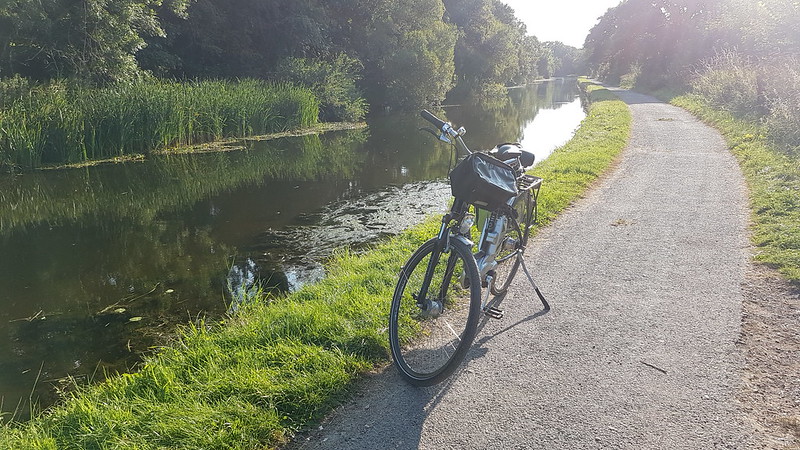
On the second day I opted for a longer route home, starting by cycling on the cycle-path between Lancaster and Morecambe, then following the prom and the coast road to Hest Bank were I could rejoin my morning route on the canal towpath.

20210902_170440
View from Morecambe Prom.
20210902_173708
Lancaster Canal.
This is the route I used in the mornings.
This is the return route for the first afternoon.
And the slightly longer route from the second day.

In all, a rather splendid way to start and finish the day. I’m looking forward to doing it again some time, but as a replacement for driving it’s not very practical, what with the dark mornings and afternoons in the winter, and especially considering that I spent at least three hours travelling each day. Still, will definitely do it again sometimes when the weather improves.

Bike Commute

Walney Island to Ulverston

20210627_101308
At the ‘start’.

Another section of the Moecambe Bay Cycleway. B deigned to join TBH and I. We caught the train to Barrow, planning to cycle back towards home, possibly as far as Grange – which turned out to be more than a bit optimistic. We were lucky with the train – at Grange we saw other cyclists being turned away, which must have been very frustrating if you had already bought a ticket. The top photo shows TBH and B at the northern terminus of the MBC, on the western coast of Walney Island – so although this is ‘the start’ we had already cycled here from Barrow Station.

20210627_101302
Common Mallow.
20210627_101435
A wind farm out to the west.

I’d been a little worried that the route through Barrow might be a bit hard to find, but I needn’t have been concerned, since it was well sign-posted.

20210627_104448
Barrow Docks.

The Pacific Grebe, seen here, is a nuclear fuel carrier, perhaps not so surprising given the proximity of Sellafield power station to Barrow.

20210627_104634
Black Combe and Western Fells across Cavendish Dock.
20210627_104651
Off-road cycling between Roosecote Sands and Cavendish Dock.

It was a gloomy day, but the views were fine and, at this point, the cycling was both off-road and flat and so nice and easy.

20210627_105613
Drinker Moth caterpillar (I think).
20210627_111356
Rampside Leading Light – The Needle.

We’ve often driven past ‘The Needle’ before, usually on our way to Roa Island and/or Piel Island (where they’re currently on the lookout for a new ‘King and Queen’ or, more prosaically, tenants for the local pub – if you’re interested). The Needle is the only surviving leading light of 13 built in the Barrow area in 1875 to guide shipping.

20210627_111401
Looking across Cartmel Sands.
20210627_114045

B was, as ever, ‘starving’ – he is a growing lad after all – and was very pleased to spot this little kiosk. TBH and I had cups of tea, whilst he tucked into half a dozen freshly fried doughnuts.

20210627_114036
Doughnut stop.

Shortly after this stop, we turned inland and followed an undulating route through a series of tiny villages. Once again, I ought to have taken more photos than I did – of the large duck pond in the middle of Leece for example, or of Gleaston Watermill: not to worry, it just means I shall have to go back, perhaps when the sun is shining. I did feel compelled to stop to photograph Gleaston Castle:

20210627_123114
Gleaston Castle.

Built in the 12th Century and possibly never finished, the castle is not open to the public and is in a parlous state apparently.

20210627_125659
The view from Birkrigg Common to the Lake District Fells.

We called in at Conishead Priory, now a Buddhist meditation centre, hoping to buy lunch, but settled for drinks since, bizarrely, TBH couldn’t get anything vegan. Well, B did have some sandwiches, but he is a growing lad after all. MapMyWalk tells me that there were roughly 300m of ascent on this route, which doesn’t seem like that much, but I found it exhausting. When B declared that his knee was playing him up, I was only too pleased to magnanimously concede that we could cut our route short and catch the train home if he insisted.

We haven’t as yet attempted the next section of the MBC, between Ulverston and Grange. On the map, it looks far hillier than any of the parts we have done to date. One for next summer – but perhaps we shall have to build up to it.

Walney Island to Ulverston

Grange-Over-Sands and Back

20210620_150144
TBH on a traffic-free section of the Morecambe Bay Cycleway.

Exactly what it says on the tin – TBH and I ticking off a bit more of the Morecambe Bay Cycleway by pedalling to Grange-Over-Sands and back again.

This is our longest outing in the saddle to date and yet I didn’t take all that many photos. The one above was the first I took, on a section which runs parallel to the busy A590. By that point, we’d already cut a corner across to Milnthorpe, since we had cycled route 700 through Arnside on a previous occasion; cycled the marvellously flat leg between Milnthorpe and Levens Hall, which has fabulous views; stopped at Levens Hall hoping to buy lunch, but, finding it very busy, had to content ourselves with cups of tea; and finally managed to get some lunch at the Gilpin Bridge Inn – standard pub fare but most welcome at that point, as were the couple of pints which accompanied it.

I can see why cyclists are fond of helmet-mounted video cameras: it’s a faff stopping every time you want to take a photo. However, I can’t see myself buying such a camera, or for that matter a helmet to fix it to, any time soon.

20210620_152950
Arnside Knott across the Kent.

I did find time to stop in the vicinity of Ulpha, where I was very struck by the views of Arnside Knott from an angle which we aren’t used to seeing.

20210620_153111
Whitbarrow Scar.
20210620_153121

Most of the route was quite flat, as you might expect skirting around the edge of estuarine mud-flats, but both Levens and Meathop had some significant climbs.

20210620_160043
Arnside Knott again, this time from Grange Prom.
20210620_160046
Grange Prom.

In Grange we found another cafe and indulged in more refreshments. It had been a warm day and I bought both tea and coke and had my water bottle refilled to boot.

20210620_165409
Whitbarrow Scar again.
20210620_171500
River Gilpin.

Having not started very early (no surprise there!) and stopped several times on our outward journey, we were running quite late to get back and cook the kids tea. On our way back then, by contrast, we hardly stopped at all. Somewhere close to Storth my phone ran out of charge and I ran out of steam. Not so TBH who continued to fly along at a good pace. The straight line between Storth and Park Lane on the second map below is entirely fictitious. I suspect the actual total distance was a little over 60km or a little under 40 miles, which is probably just a warm-up for a keen cyclist, but was quite enough for me.

Grange-Over-Sands and Back

June. Well, Most of it.

P1330920
Cotton-grass at Foulshaw Moss

The year is almost up and the blog is stuck in June. So….better get a shift on.

P1330901
Juvenile Great Spotted Woodpecker.

First off, some shots from an evening to Foulshaw Moss when A was dancing.

P1330909
An Orb-weaver Spider, possibly a Larinioides cornutus female.
20210612_133352
The limestone hills of home across Morecambe Bay.

Next door neighbour and all-round good-egg BB was interested in our ebikes; I suggested he borrow one and join me for a trip. We cycled to Morecambe. As you can see, the weather was fantastic, but there was a strong wind blowing, unusually, from the South, so that cycling along the Prom was an uphill struggle. The compensation was that on our way back again we felt like we had wings. Sadly, I didn’t take any photos of our memorable refreshment stops, at the Hest Bank for a pint on our outward trip and at The Royal in Bolton-le-Sands for a lovely meal and a couple more ales in their sunny beer garden.

20210612_133356
Bike maintenance BB style.
20210612_135328
Choppy waves from the end of the Stone Jetty in Morecambe. Lake District Fells beyond.
20210613_110616
X-Ray and TBH in Clarke’s Lot.

Old friend X-Ray visited to catch up. It was very grey day, but we dragged him out for our usual wander around Jenny Brown’s Point anyway.

20210613_111952
Warton Crag and Clougha Pike beyond.
P1330952
Another Foulshaw Moss view.

Another taxi-Dad trip to Foulshaw Moss. Things have moved on since then – A has passed her driving test and doesn’t need any more lifts to Milnthorpe. I shall need a new excuse to visit Foulshaw Moss.

P1330946
Sedge Warbler (I think).
P1330968
Foxglove.
P1330973
Birch Polyp.
P1330987
Azure Damselfly.
P1330991
Green Lacewing, possibly Chrysopa perla.
P1330998
Crane Fly.
20210619_163755
TBH cycling past the visitor centre at Leighton Moss.

Finally, a shorter bike ride with TBH which took us to Holme and back via some very quiet lanes. It almost went horribly wrong when I made the mistake of leaving TBH a little behind (she having chosen not to use an ebike) and she, inexplicably, took a left turn, even though I’d mentioned the fact that we would go through Yealand Redmayne. It all worked okay in the end, after a few puzzling moments and a bit of cycling back and forth looking for each other.

A couple more June bike rides to follow… eventually.

June. Well, Most of it.

Foulshaw Moss by Bike

20210605_144338
Whitbarrow Scar on the left, Eastern Fells on the right.

The day after our Morecambe jaunt. A Saturday. TBH had other things to do, and wanted a rest, but I was hooked and keen to get out again on my bike. The weather was glorious. I decided to take the Morecambe Bay Cycleway in the opposite direction and visit Foulshaw Moss.

The photograph above is taken from a minor lane which runs from close to Dallam Hall almost to Levens Hall. I’ve walked this lane, many years ago, it’s part of the Cumbria Coastal Way. On foot, on a dull day, I found it a bit of a tedious experience, but on a bike it was a revelation – nice and flat, huge open views. Marvellous.

20210605_151115
Whitbarrow Scar and the River Gilpin.

From the village of Levens, the MBC follows minor lanes, and one short section of track, paralleling the busy A590. I’d taken a leaf out of Andy’s book and used satellite images looking for a connection to take me to Foulshaw Moss, which is on the far side of the main road. I found a track which was perfect, directly opposite. In the event, it was clearly somebody’s driveway – I still used, trespassing for a matter of seconds, but I did have the decency to feel guilty about it.

20210605_151141
My trusty steed.

I’d been a bit concerned about getting across the A590, which is a dual carriageway at this point, very lots of very fast moving traffic, but I just had to be patient and eventually I managed to get across without feeling I’d risked life and limb.

P1330857
Whitbarrow Scar from Foulshaw Moss.

Since I usually visit in the evenings, I wasn’t quite prepared for how busy the reserve would be. The car park was full. (Admittedly, it is quite a small car park.) I chatted to a Wildlife Trust volunteer who told me it had been even busier earlier in the week.

Most visitors seemed intent on viewing the very distant Osprey nest though, so I could still enjoy a quiet stroll around the boardwalks.

P1330814
Greenfinch and Red Poll.

With the sun shining, I was able to see some of the insect life I usually miss in the evenings.

P1330842
Four-spotted Chaser.
P1330863
Green Hairstreak.
P1330871
Large Red Damselfly.
P1330881
A blue damselfly – I can’t identify which.
P1330882
Two more Large Red Damselflies.
P1330893

After perhaps an hour at Foulshaw I set off for home. I’d been considering a different route back, which initially followed the same route to Levens village.

20210605_170400
View across the Lyth Valley from the outskirts of Levens.

From Levens a lane climbs steeply across the slopes of Sizergh Fell. I then travelled back to Milnthorpe on very minor lanes through Sedgwick and then a series of small hamlets which I’ve never visited before: Crosscrake, Stainton and Viver.

20210605_173909

This return route was much more undulating than the outward one had been, which was all well and good until the bike’s battery ran out of juice. The last three or four miles was a good reminder that riding a heavy ebike at the end of a longish day is very hard-work without assistance.

Almost 30 miles, with a little over 400m of ascent. (According to MapMyWalk which has a setting for cycling, despite the name).

The bike/walk combination is definitely something to explore further in the future, I think.

Foulshaw Moss by Bike

Pedalling the Perimeter – Morecambe and Back

20210604_114840
On the canal towpath.

One thing I neglected to say in my last couple of posts, mainly because I forgot, was that our friends Whit week visit was actually a Whit weekend visit. TBH and I seem to have spent the remainder of Whitsun cycling. And the sun shone!

Another thing I neglected to mention is the fact that most of the impetuous, initially at least, in our adoption of cycling came from TBH. In the past, she’s done a lot of cycling and has been wanting to get back to it for a while. In particular, some of our neighbours cycled the Two Roses Way a few years ago, and TBH suggested that we might do the same as our family holiday this summer. (Spoiler alert: we didn’t. Maybe another year). The Two Roses Way is a coast to coast route from Morecambe to Bridlington. I tentatively agreed to the idea, but was a bit concerned about the climbing involved as the route crosses the Pennines. I suggested that we might try the Morecambe Bay Cycleway as a taster, to see how we got on, since it’s shorter, less hilly and all of it on our doorstep. In the circumstances this summer, we decided to adopt a piecemeal approach, avoiding overnight stays and using public transport where necessary.

20210604_131328
Morecambe Promenade.

The route from Silverdale to Morecambe is, aside from the usual ups and downs at our end, very flat since it uses the Lancaster Canal towpath and then, from Hest Bank, the promenade through Morecambe.

20210604_131333
Lunch Stop.

Before the pandemic TBH regularly joined the Park Run on Morecambe Prom, with friends from the village. This cafe was their favourite venue for their post run drink/lunch stop. Since TBH knew that she could get a vegan panini, it seemed like a good place to go again.

20210604_131416

We bumped into someone we know from the village, who told us that they’d passed us on our way out of Silverdale and expressed surprise that we had got as far as we had as quickly as we had. In truth, the entire route, around 26.5 miles, took over 4 hours, so we were hardly setting any speed records.

20210604_142529
The Lake District Fells from Morecambe. Arnside Knott on the right.
20210604_142536
20210604_150524
20210604_150630
20210604_152414
Warton Crag from Crag Bank Lane.
20210604_154310
Bridge over the River Keer.
20210604_154256
TBH showing off – she can ride across. It took me half a dozen attempts to do it without colliding in some way with the sides.
20210604_160450
Barrow Scout Fields – nearly home.

The route is mostly traffic free, has great views of the lakeland hills in several places, and, somewhat to my surprise, I really enjoyed myself and was keen to get out again.

Pedalling the Perimeter – Morecambe and Back