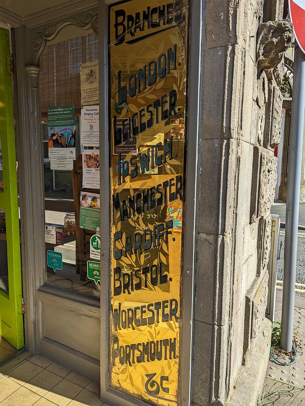
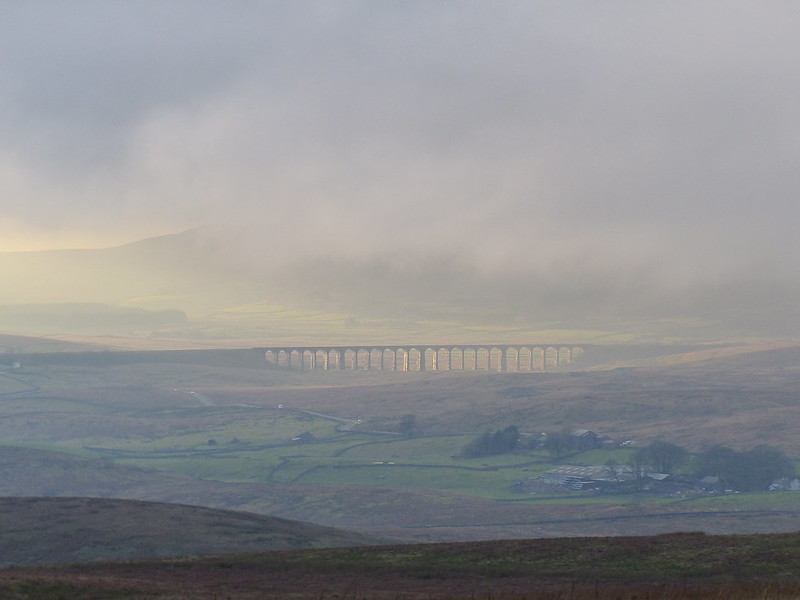
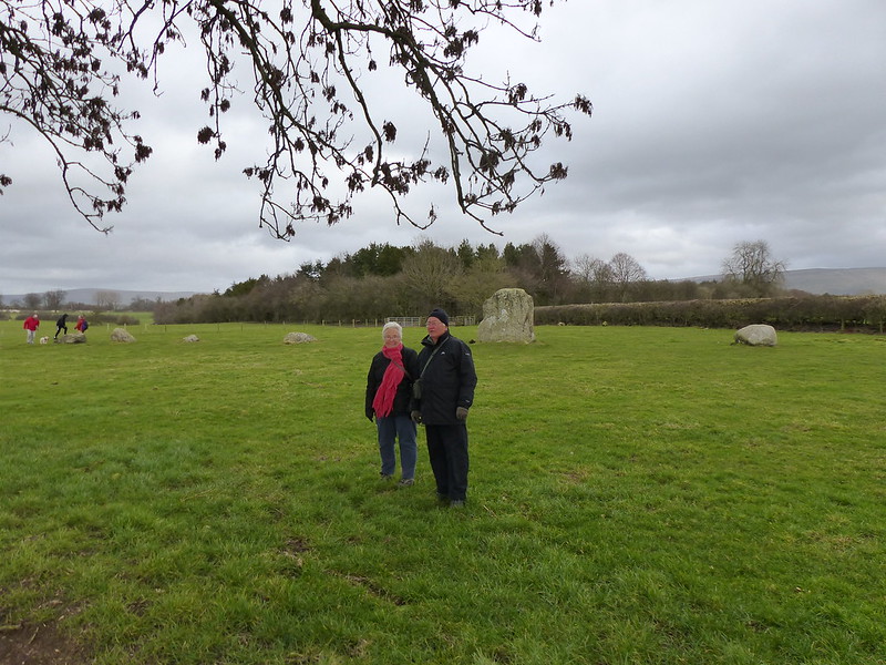
I’ve always considered the view from Monsal Head of the Headstone Viaduct to be one of the iconic scenes in the Peak District. Since the days when I was a regular visitor to the area, the old railway line has been converted into a walking and cycling track, a fact which Andy alerted me to on his blog.
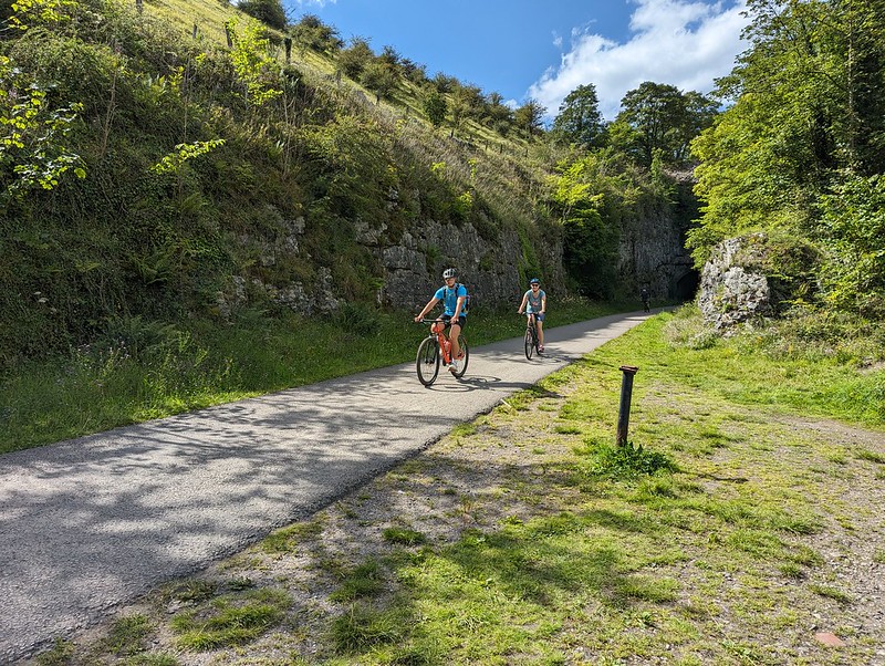
We’d brought the DBs bikes with us, and hired bikes at Hassop Station for TBH and myself. I remember that my bike was a Raleigh, but not which model, which is a shame, because it was very comfortable and a pleasure to ride.
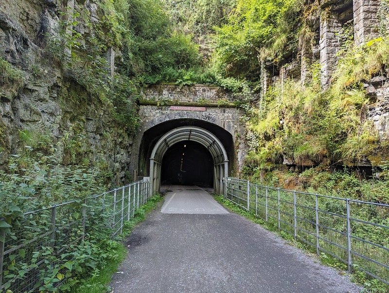
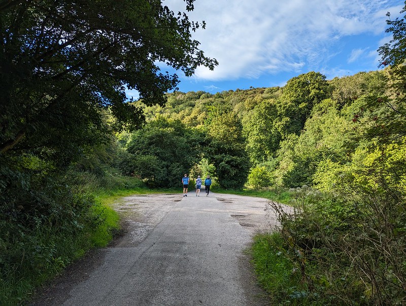
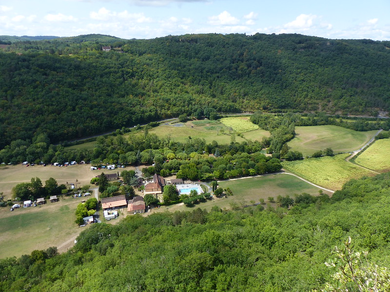
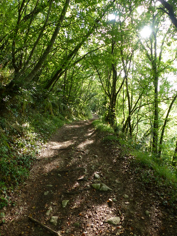
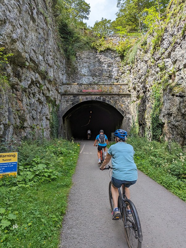
Hassop is near, but not at, one end of the line. We set-off west to tackle the larger portion of the trail first. There are six tunnels on the route and I seem to have taken photos either of, or in, most of them. I’m not sure why I was so chuffed to be cycling through tunnels, perhaps because I’m still essentially a big kid at heart.


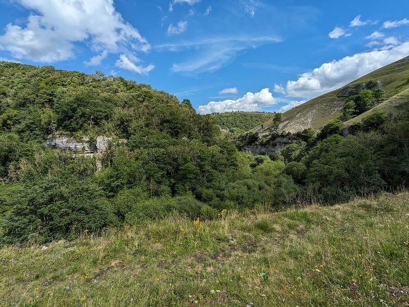
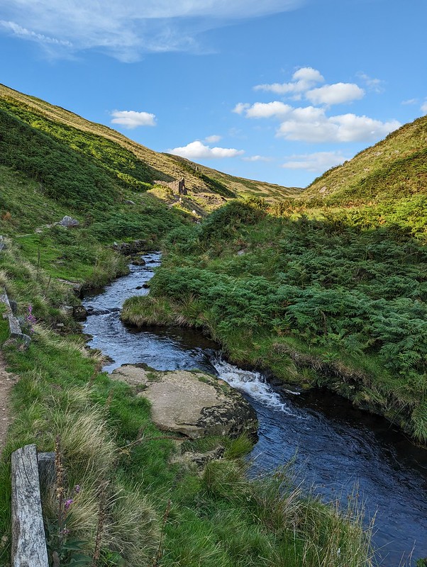
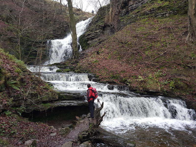
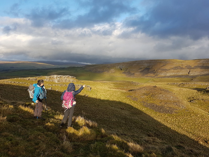
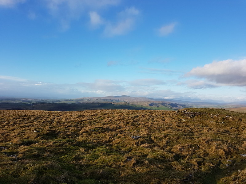
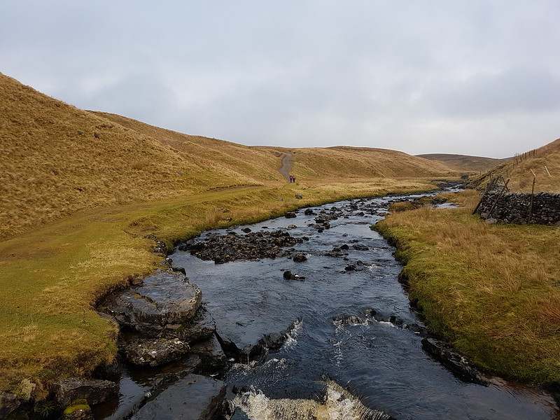
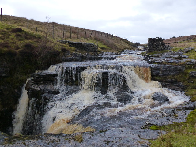
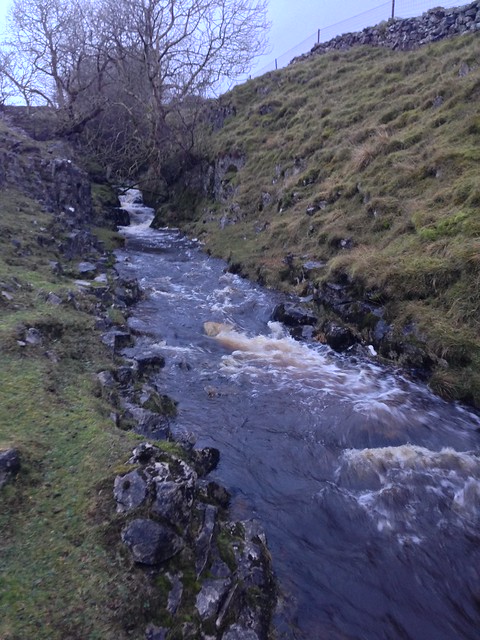
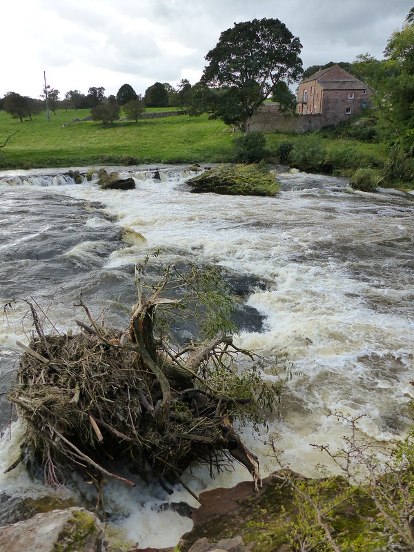
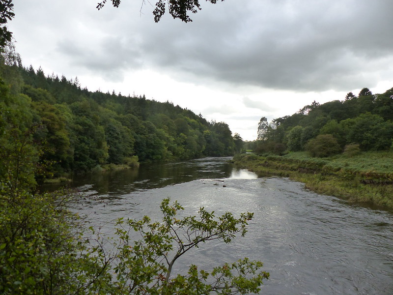
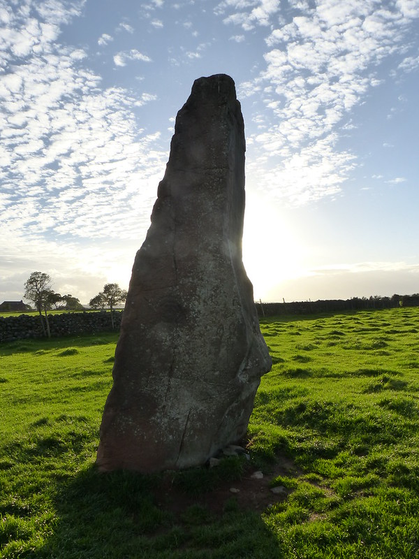
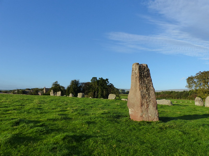
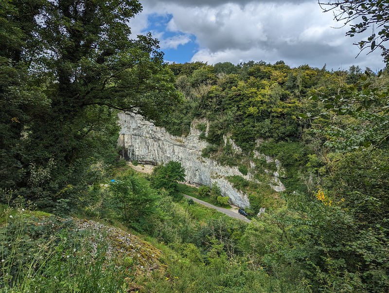
The trail generally follows the valley of the River Wye, but, confusingly, the name of the dale changes along its length: Monsal Dale, Water-cum-Jolly Dale, Millers Dale, Chee Dale, Wye Dale. It’s hard to know where the transitions occur and also hard to remember where each of the photos was taken, so I can’t say which dale each one shows!

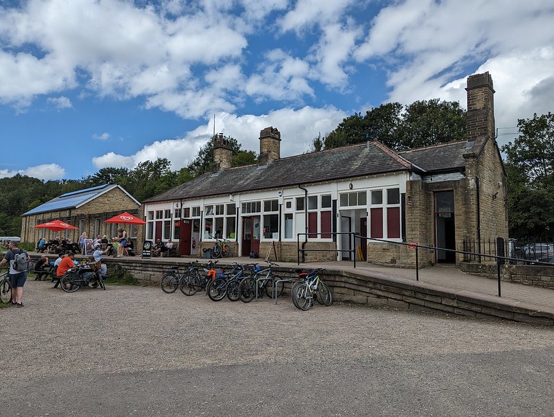
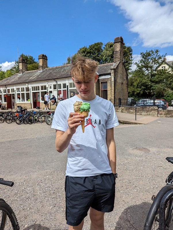
The cafe at Millers Dale station was popular and we probably should have got some lunch there. Little S did get an ice-cream, which for some reason seems to have caused some consternation on his part…


We’d been planning to eat at the cafe at Blackwell Mill, at the western end of the trail, but didn’t, I think it was closed. Either that, or it didn’t have any vegan options, I can’t remember.

I’d chosen to start near the Bakewell end because I’d read online that it would be uphill from there. It must be a very gentle gradient: it hadn’t seemed uphill, but now that we turned around, the difference was really obvious and going the other way was much faster and could be free-wheeled.
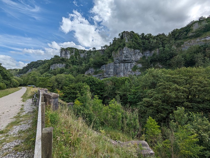
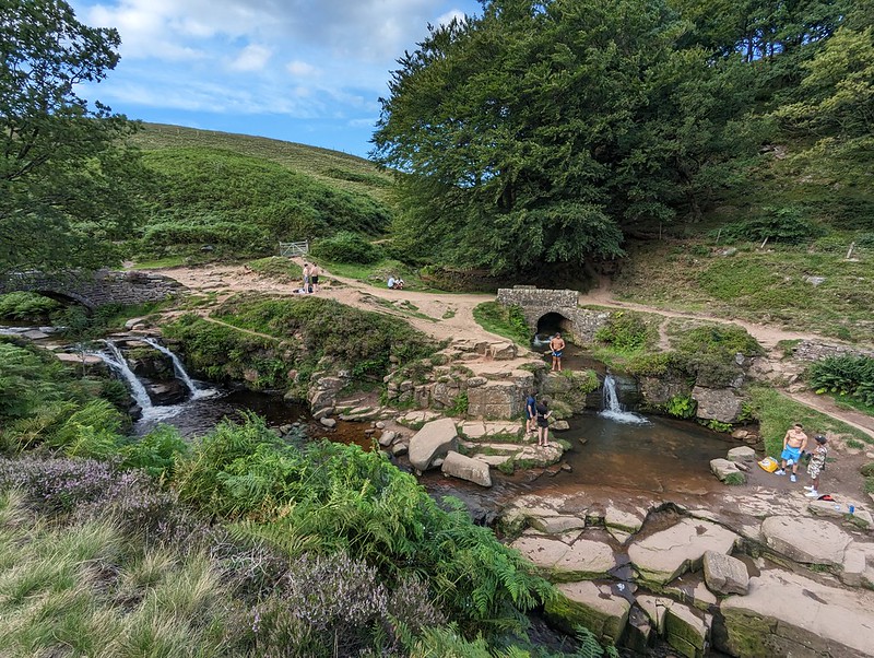
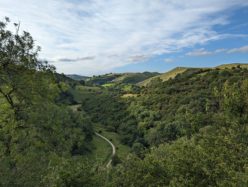
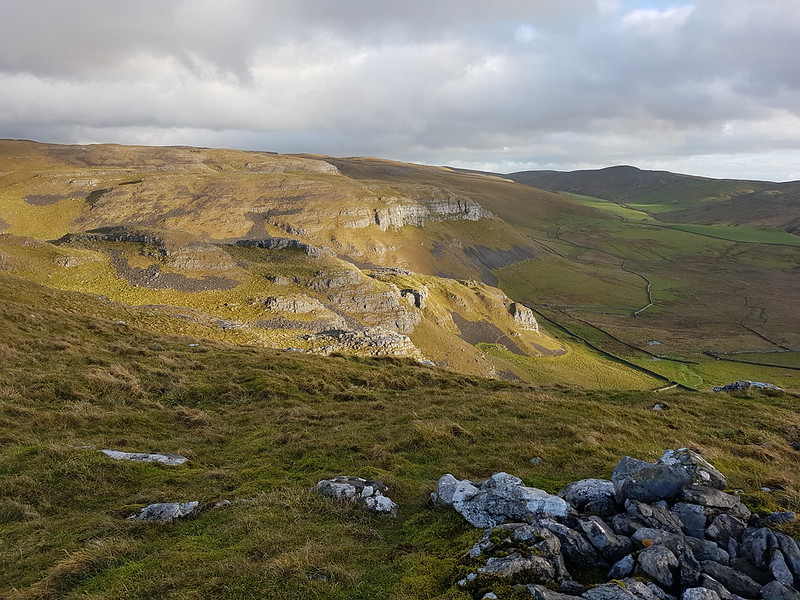
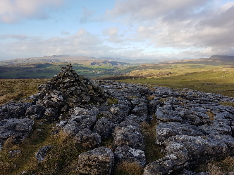
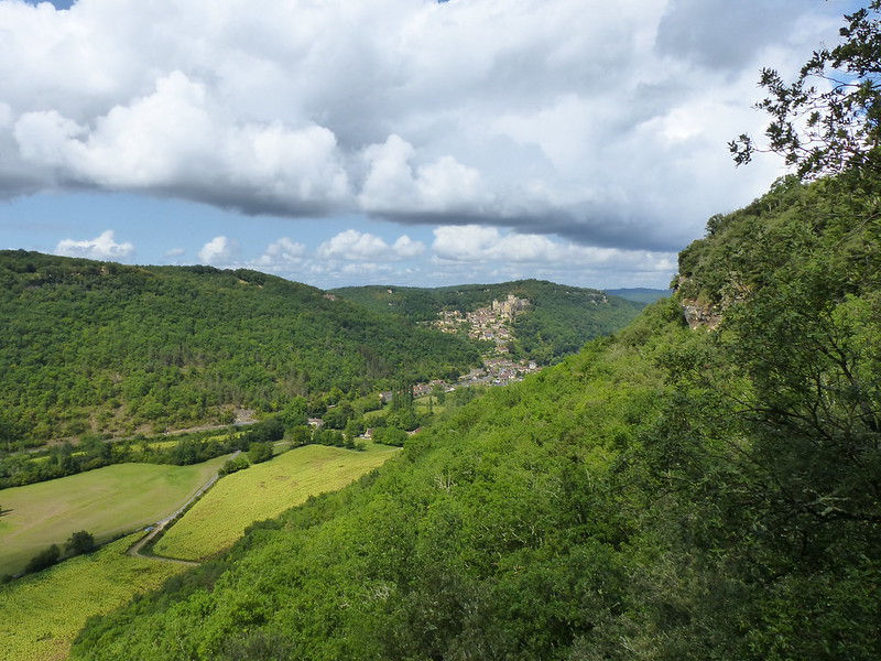
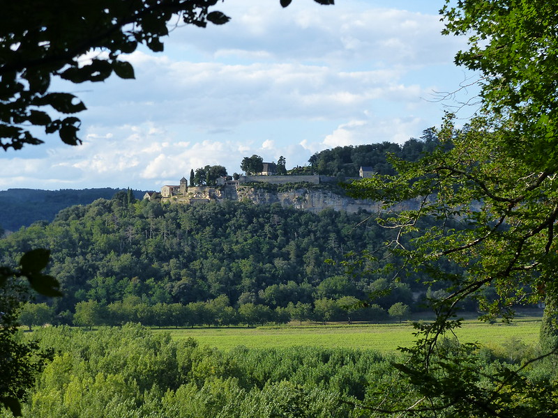
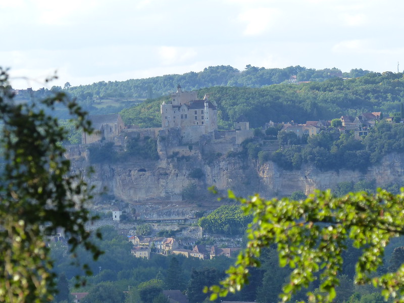
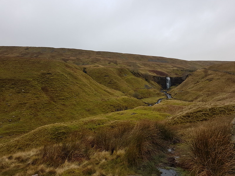
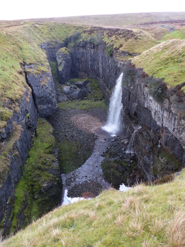
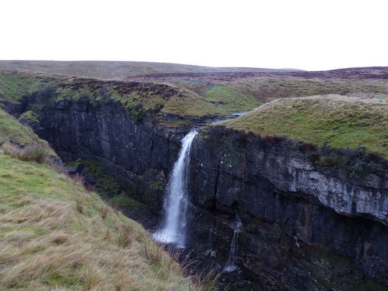
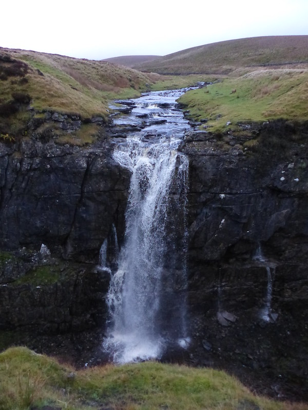
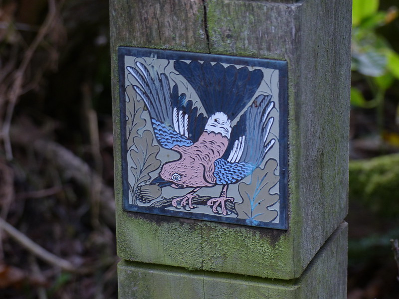
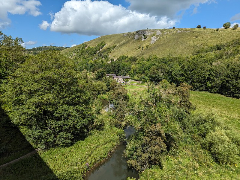
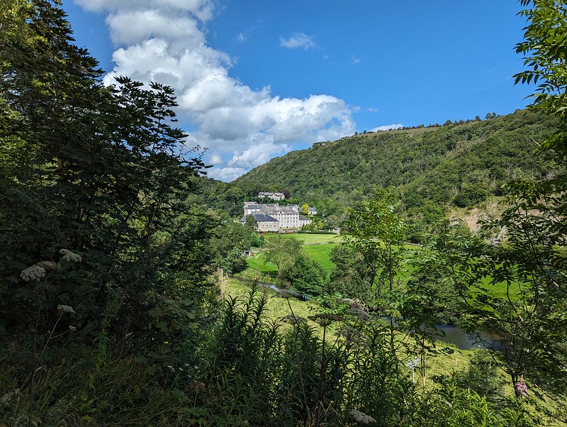
I had noticed a short spur here coming post and took a detour now to have a nose. It was well worth it for the view.

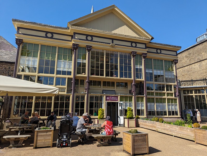
Back at Hassop station we had a very late lunch in the excellent cafe there, which is highly recommended.
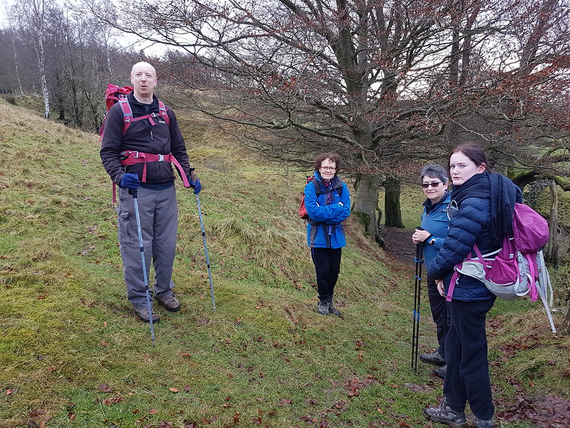
We were running short of time on our bike rentals, so I asked in the shop whether we were okay to cycle to the other end of the line near Bakewell. I was told that it was fine, so long as we were back before closing, but that the return part was uphill and that many people found it challenging.


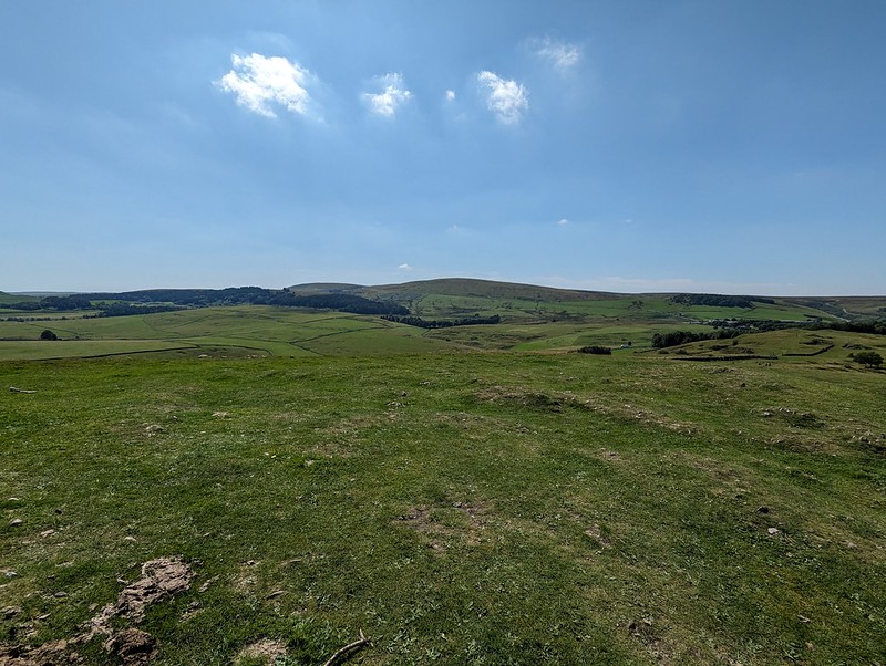
Actually, it was fine and I’m pleased that we managed to fit in the entire route. I was hoping for a view over Bakewell, but whilst we did get some, they were partial and didn’t yield very good photos.
The whole trail is 8½ miles, so there and back is only 17, not a very long cycle ride I know, but immensely enjoyable and pretty much flat which is a big selling point as far as I’m concerned.
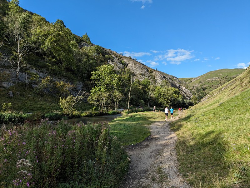
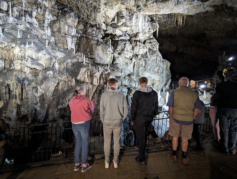
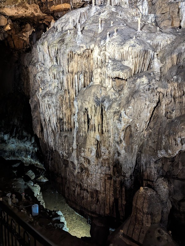
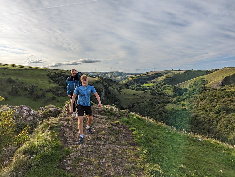
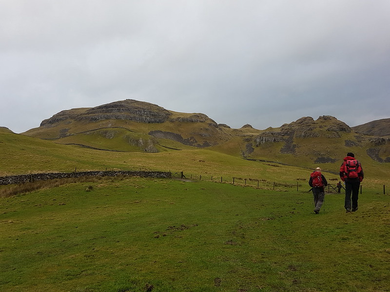
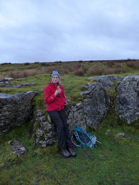
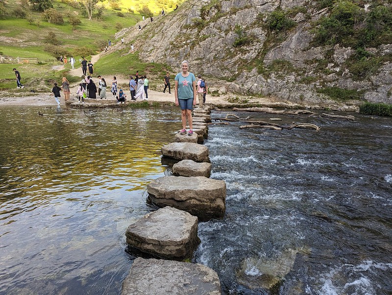
From my childhood visits to the Peak District I think three memories stand out: the show caves around Castleton; steaming, overheated cars pulled over on the roadside up Winnats Pass; and the stepping stones and rock scenery of Dove Dale. Since Dove Dale wasn’t far from where we staying, I was determined to fit in a visit whilst we were there and although it was late in the day, we managed to get into the National Trust car park before the entrance was closed for the evening.
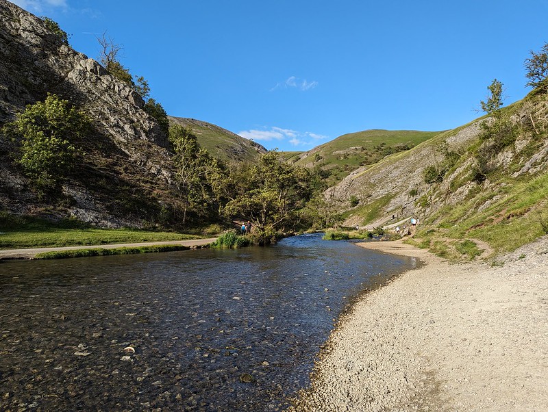
Even though it was early evening, the area around the stepping stones was still very busy, with lots of large family groups enjoying picnics.
We didn’t have to go far though before it became much quieter.

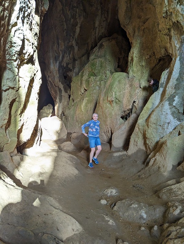
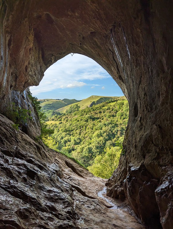
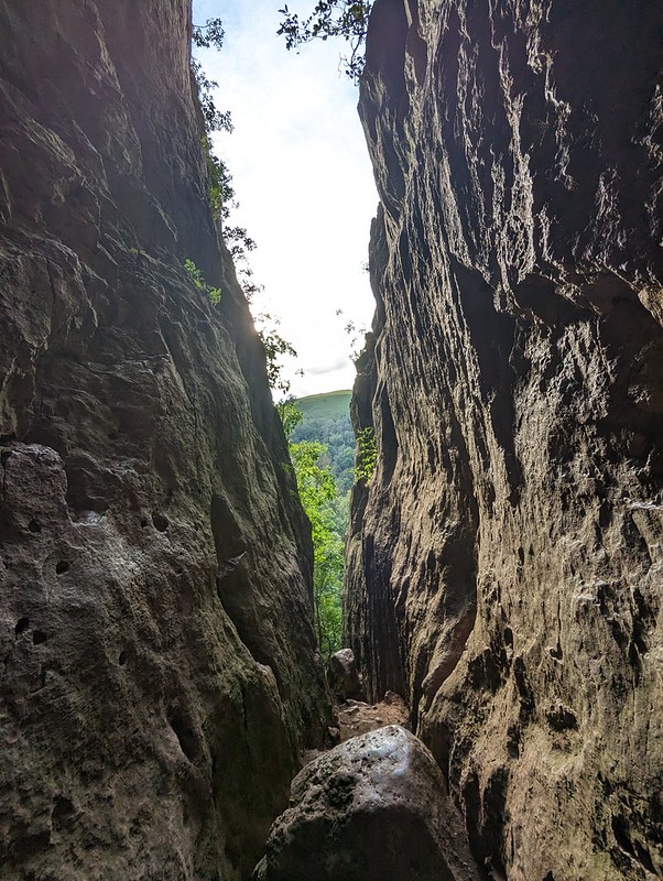
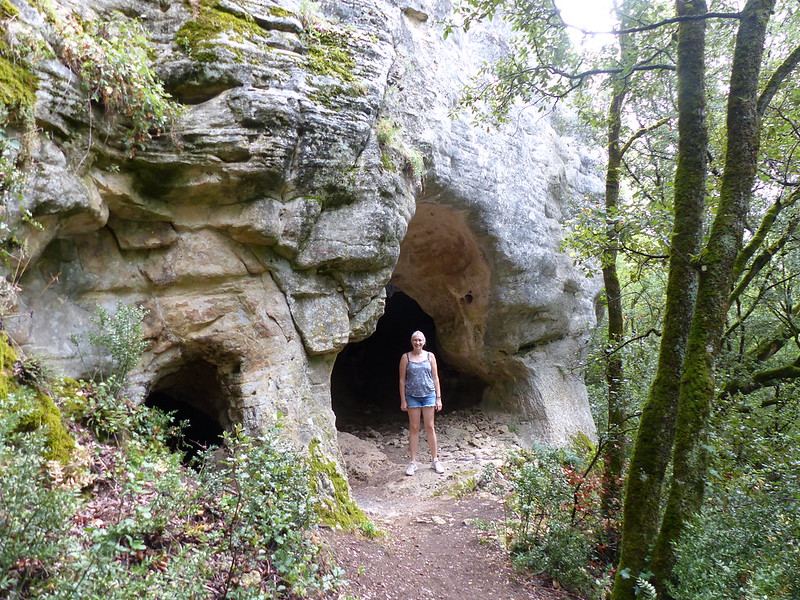
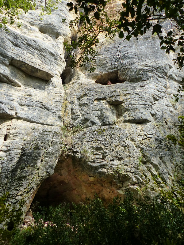
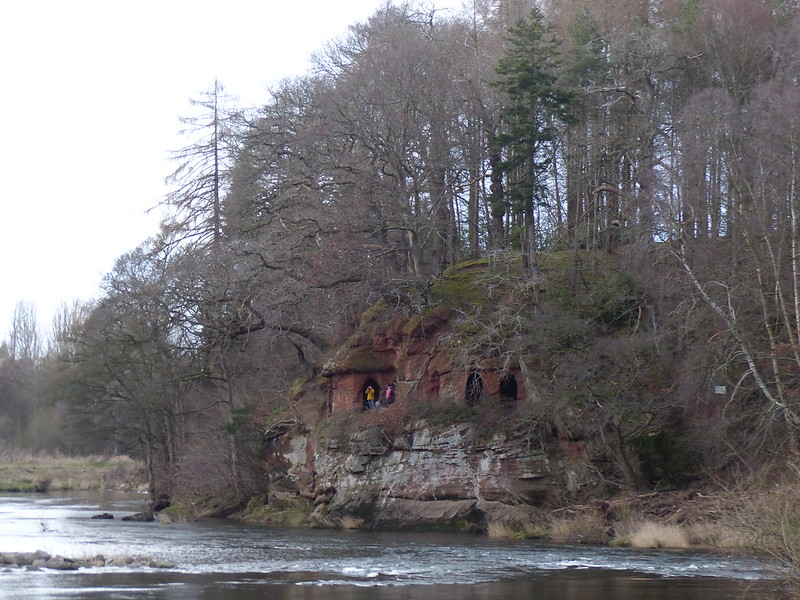
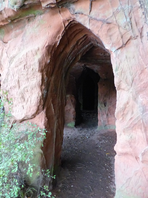
I remember, on those early visits, being awed by the natural rock arch above the path, and that it was close to Reynard’s Cave, but I don’t think we ever climbed up to the arch or the cave.

Judging by the heavily eroded path, that’s now a very popular activity. It’s pretty steep, more so than this photo suggests.
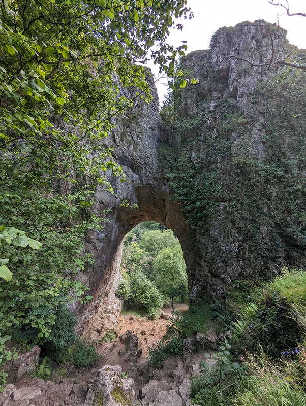
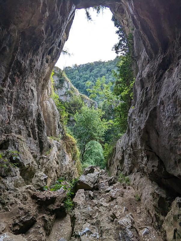

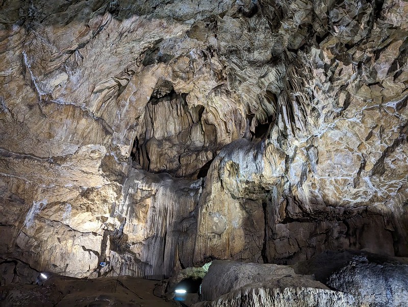
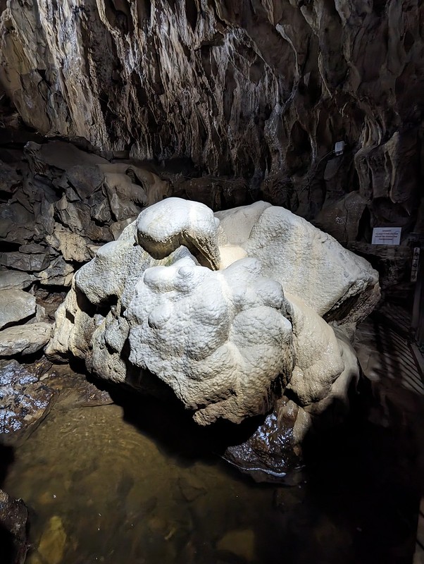
Like Thor’s Cave, there’s archeological evidence showing that Reynard’s Cave was occupied, at least sporadically, during the Neolithic through to the Medieval period.

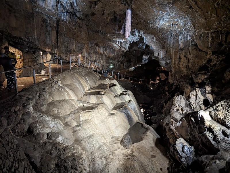
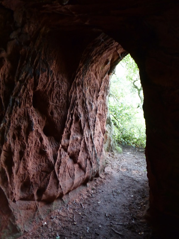
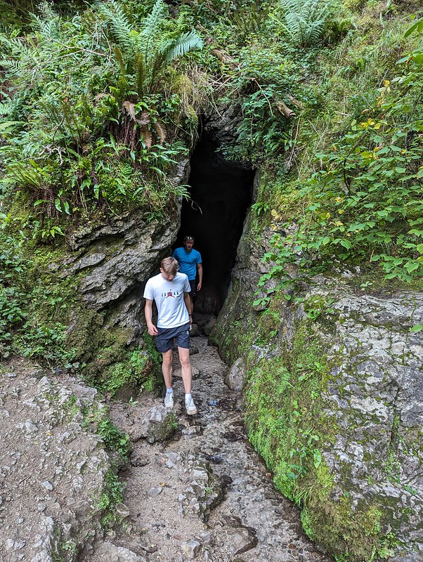
We found another, smaller cave just around the corner from Reynard’s and then an alternative route back to the river which was a little less steep.

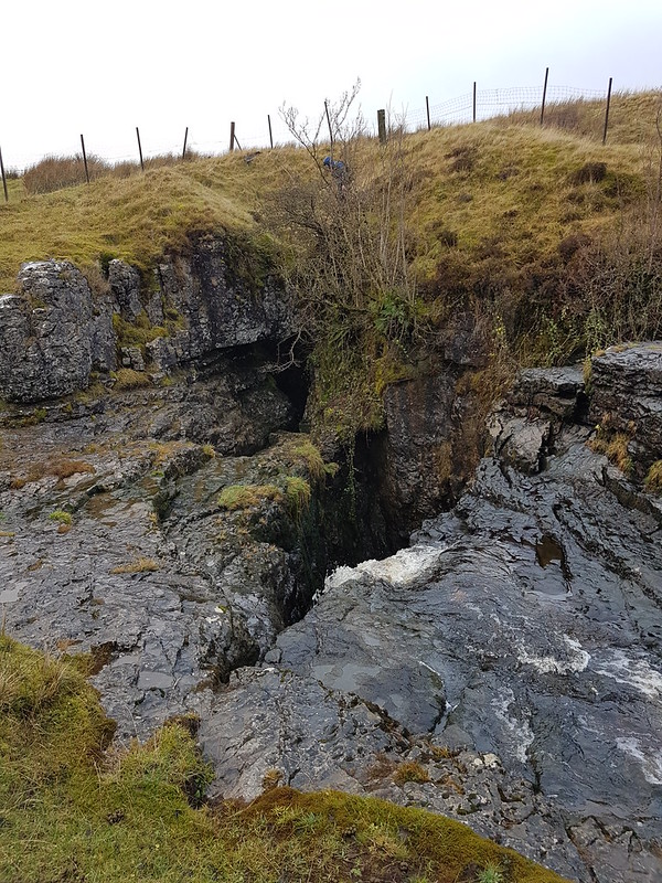
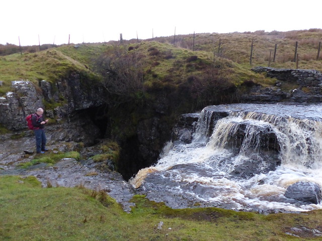
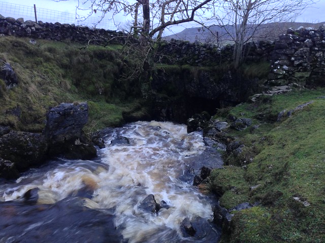
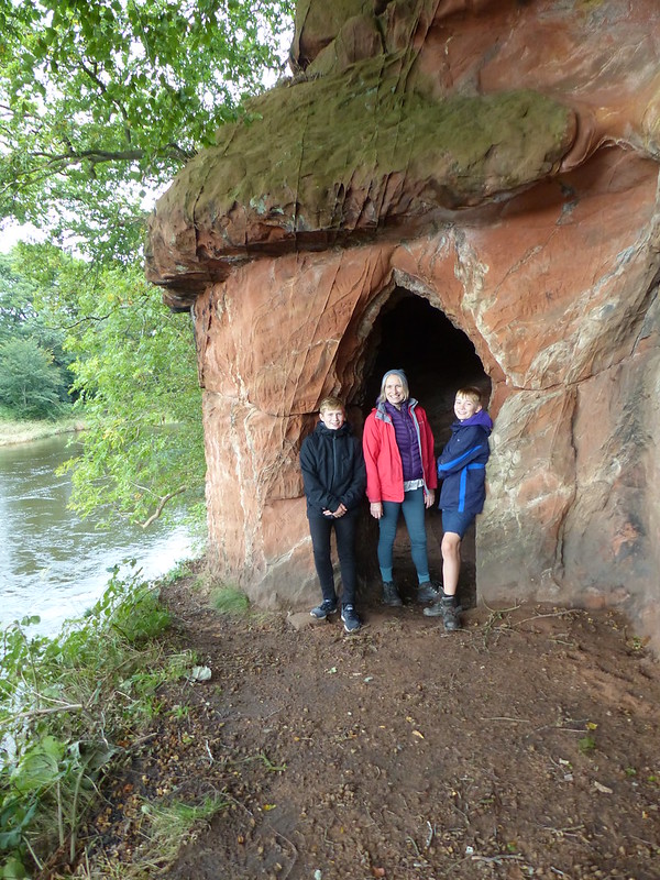
Before heading for home we walked a little further upstream so that the DBs could investigate this rather wet cave which had a stream flowing out of it…
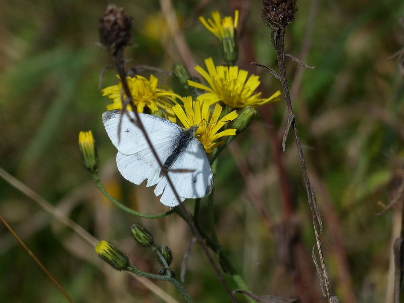
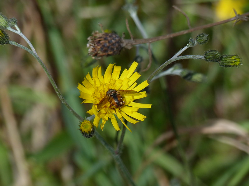
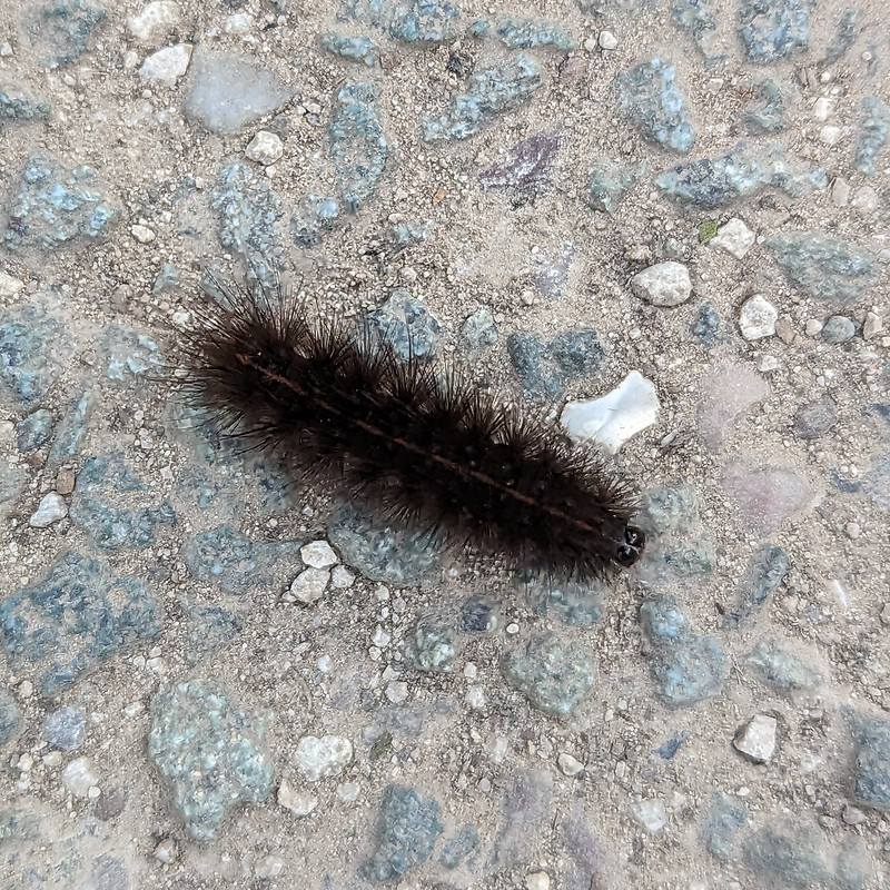
And finally, on the path back to the car park, a couple of interesting insect encounters…

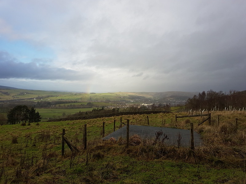
This was the last full day of our flying visit to the Midlands. Our trip was short, but packed with interest and I hope it’s not too long before we’re back in the area.