If you take an interest in the Lune and its many tributaries, then inevitably you will be drawn to the area around Sedbergh, where the rivers Lune, Rawthey, Clough, and Dee all meet in close proximity. I’ve been looking at the map and trying to work out routes which take advantage of that fact a great deal. The night before this walk, I had the ridiculous idea of following the Rawthey and the Lune from Sedbergh as far as Crook of Lune, crossing the Howgill Fells to Cautley and then returning to Sedbergh along the Rawthey. Even I realised that was overly ambitious, but I set off anyway, with a compromise plan which I knew would really be the route I would end up walking.

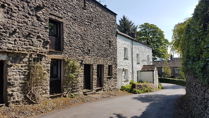
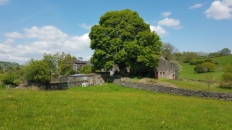
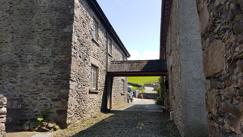
I parked not far from Sedbergh School, where, years ago, B played in a couple of sevens tournaments and I got to poke about and see how the other half live and wonder at all the wealth on display. From there, I wandered along a minor lane, past the cemetery, to the tiny Hamlet of Birks. I was very taken with Birks, where there are several very old, listed properties, of which these are two…
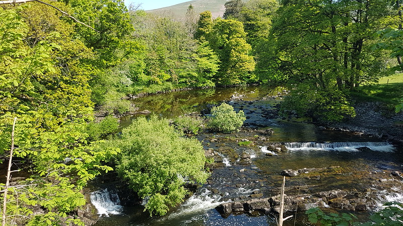
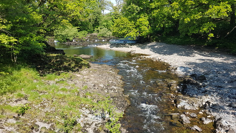
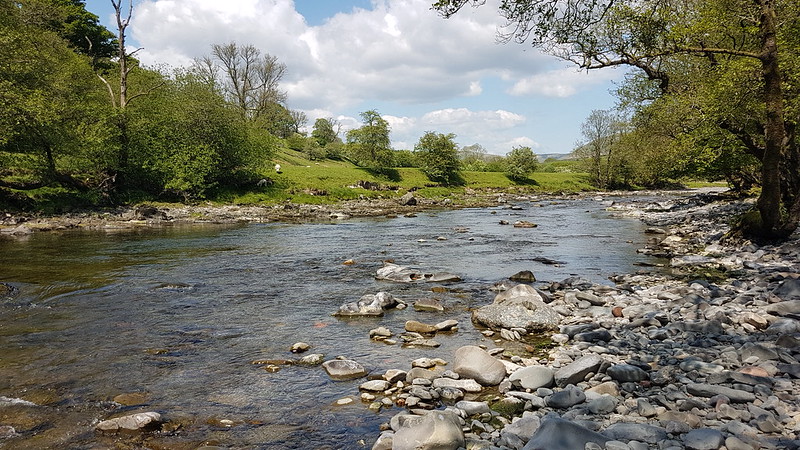
Birks is by the Rawthey, and from here I was able to follow the river downstream towards its confluence with the Lune.

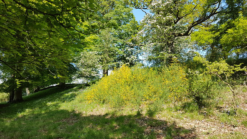
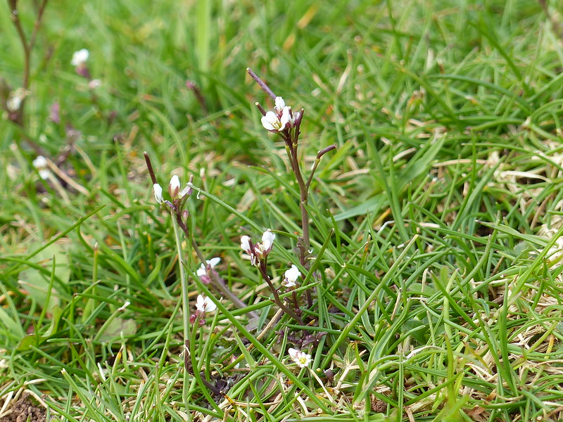
When I see bushes with yellow flowers in the spring, I always anticipate Gorse, so I was surprised to find that this little thicket was Broom.
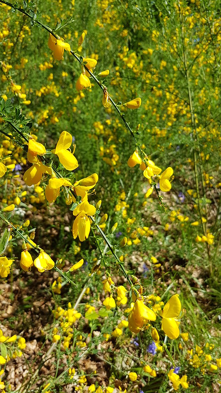
What my photo doesn’t really capture is that all around the Broom the bank was peppered with Bluebells and Stitchwort and the combination of yellow, blue and white looked magnificent.
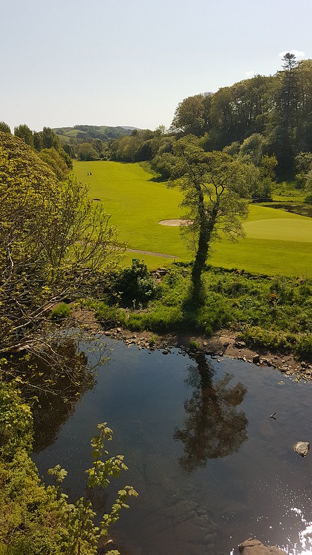
Opposite where the Dee flowed into the Rawthey, I clambered down the steep bank to take a photo.

A little downstream for there, the path crossed a disused railway line, with a tall embankment.
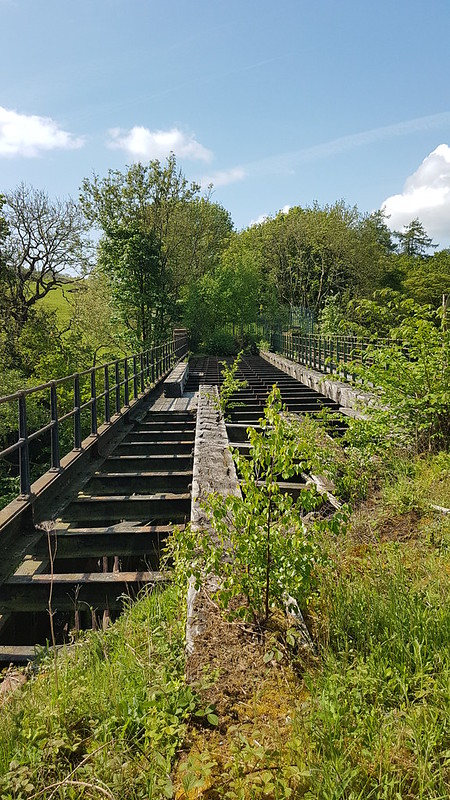
In these health and safety conscious times, there’s a tall and stout fence blocking any access to the bridge, although I did manage to clamber onto a parapet to get a view. Years ago, on a walking tour with my dad and a good friend of ours in Snowdonia, we followed a disused railway line and crossed a derelict viaduct much like this – it was exhilarating to say the least.
I was hoping to visit the Quaker church at Brigflatts, but it seemed that there was no access from the riverbank path, so that will have to wait for another time.


There’s no official path along the railway, but it looks like it’s being used regularly – something to store away for future walks.
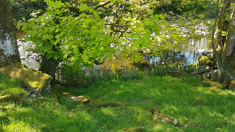
I was really puzzled by this miniature ‘fence’ by the riverside. The only time I’ve encountered metal rods quite like this, we were using them as pegs to guy a small marquee we borrowed every year for the village Field Day.
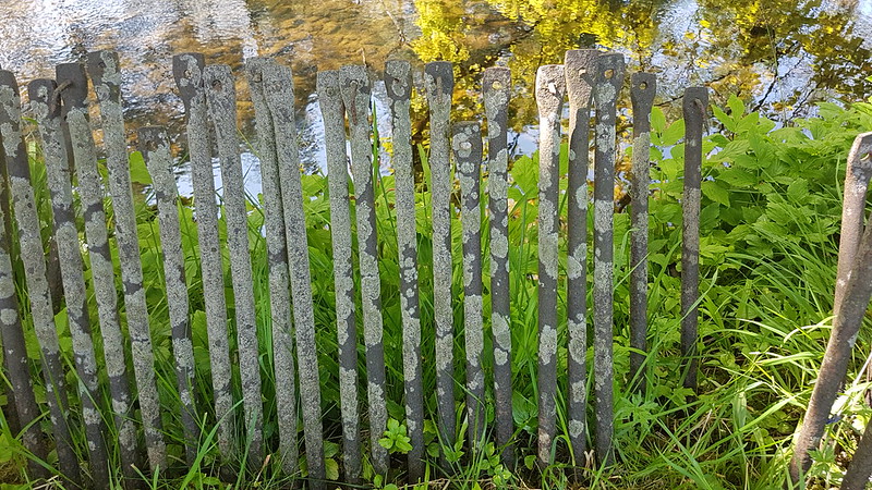
Close by there was a small, clearly man-made plinth which I thought looked like the footings for a bridge. Does anyone have a theory what these might be and why they would be lined up ‘on parade’ by the river’s edge?

The path I was following, and the route I would take as far as Crook of Lune, is part of the Dales Way. Based on this section, I suspect it would be a great long distance route to follow.
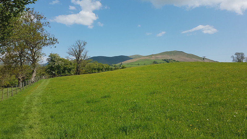
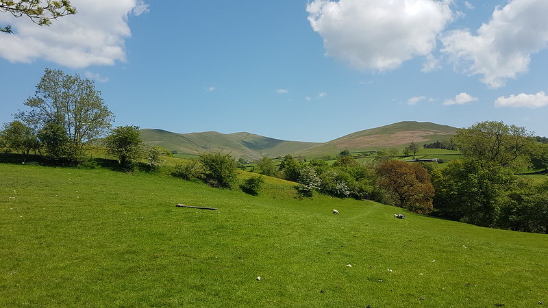
I’ve climbed the Middleton Fells a number of times over the years, but not Holme Knott at the northern end of the ridge, and recently I’ve been eyeing it on the map and dreaming up routes which incorporate an ascent. It must surely have great views of the rivers and their confluences?
This photo was taken as I stood by this little footbridge…

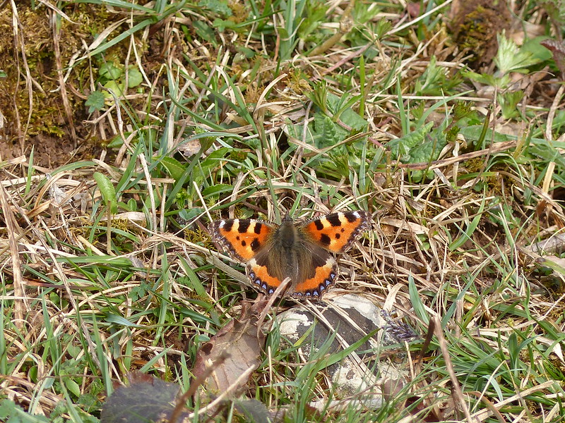
As I crossed the bridge, I noticed this Alder Fly…
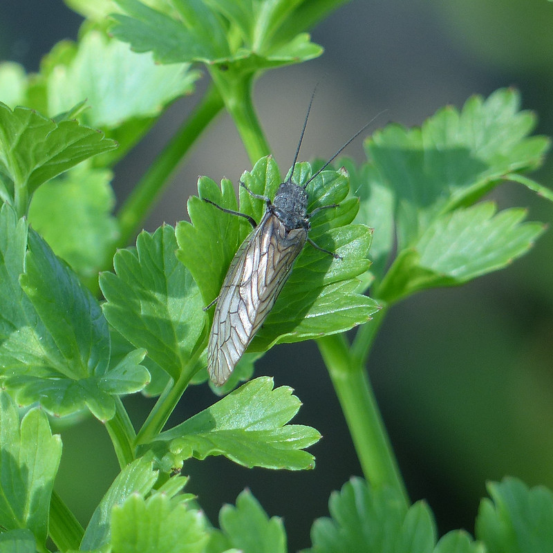
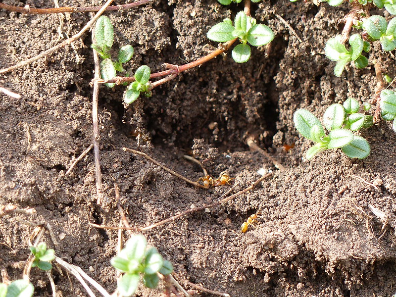
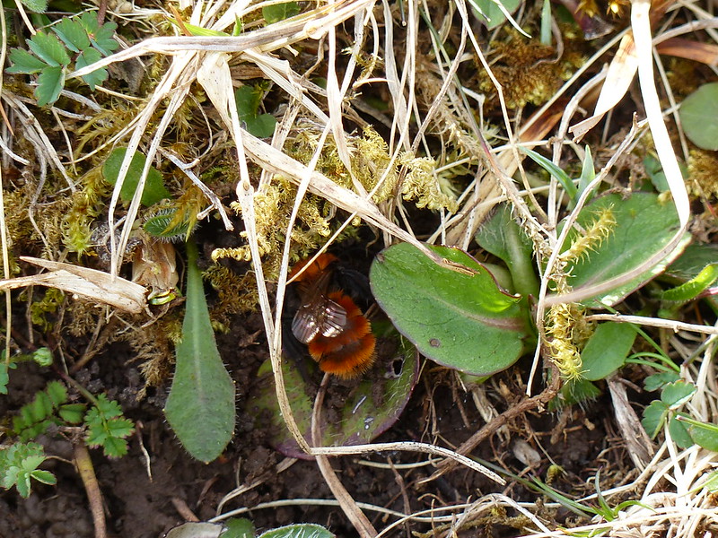
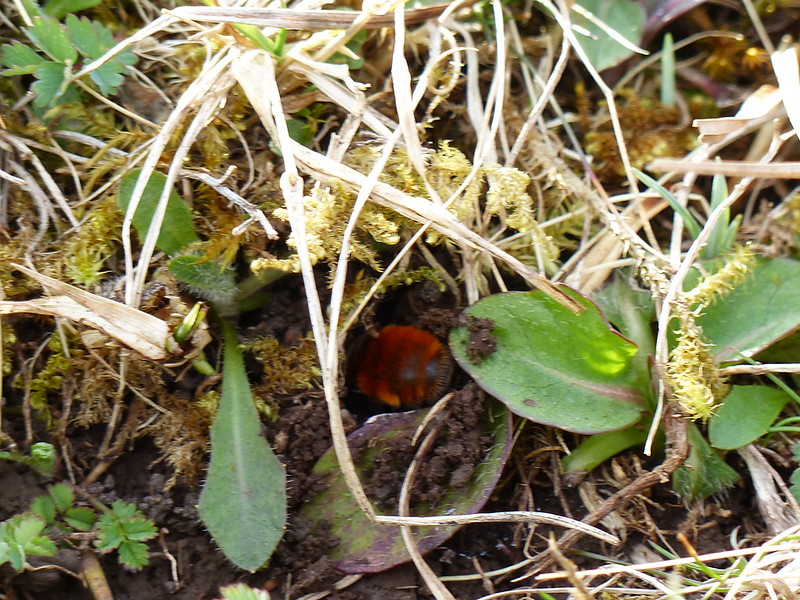
This encounter sparked a lengthy hiatus in my walk, and in this post I suppose, as I realised that the lush vegetation in and by the stream, mostly Wild Celery, Mint and Brook Lime I think, was home to an abundance of creepy-crawlies.
I took loads of photos, and here are a few of them. Well, quite a few. If you’re more interested in views than in small creatures, you might want to scroll down a bit.

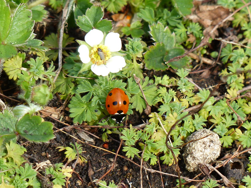
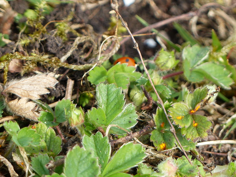
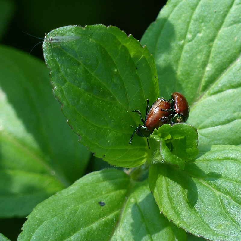
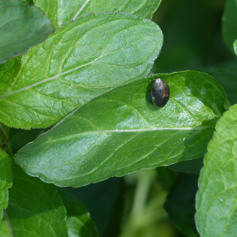
There were lots of these beetles, common and widespread apparently, which hasn’t prevented them being unknown to me. I’m a sucker for a beetle with a metallic sheen.


Quite a few Wolf Spiders too, on the rocks at the edge of the stream.
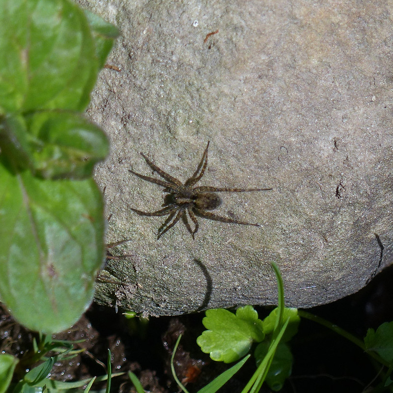
“The wolf spider is a medium-sized spider that hunts on the ground during the day; it chases down its prey and leaps on it, just like a wolf.”

“Wolf spider young disperse by using silk ‘parachutes’ to float away on the wind.”
There are quite a few UK species of Wolf Spider, but apparently an examination under a microscope is required to make a confident identification, and I’m happy with Wolf Spider anyway.

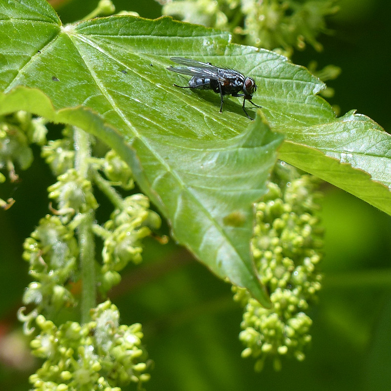
Not all shiny green flies are Greenbottles so this is a tentative identification.
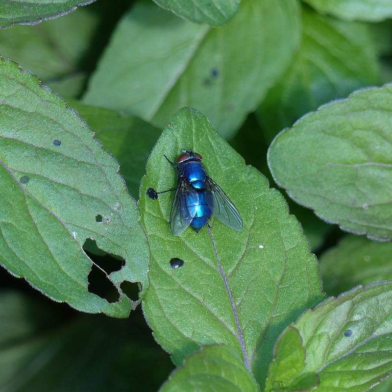
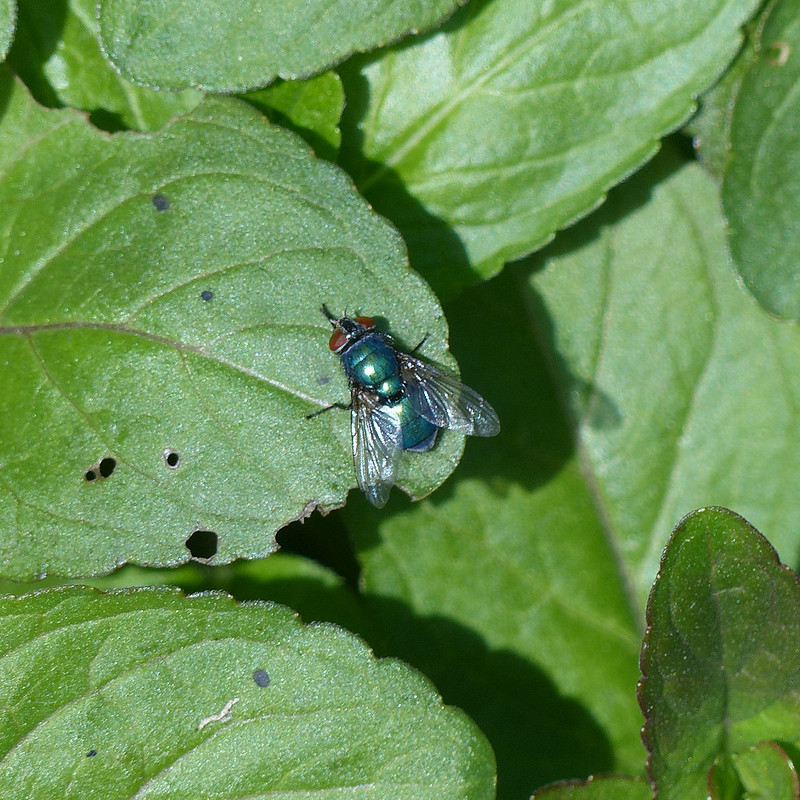
You might think a shiny blue fly would be a Bluebottle, but I don’t think this one is; according to my field guide, the abdomen of a Greenbottle “ranges from bright green to bluish green”, so I’m inclined to think that this is another Greenbottle, although, admittedly, this is more blue than green.
Incidentally, could that be another reflected selfie just by the edge of the left wing of the fly?
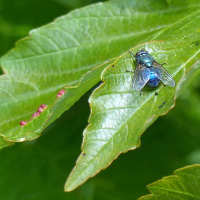
Then again, this one is blue and green, so what to make of that?
There were lots and lots of these tiny snails. At first, I wasn’t even sure that they were snails.

Apparently, unlike other snails, they can’t completely withdraw into their shells.

And there ends the sample of the many photos which I took during what was probably about a half an hour of snapping away. A very happy half-hour.
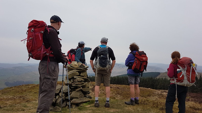
What the group of four who walked past me thought of my intense absorption I suppose I shall never know.


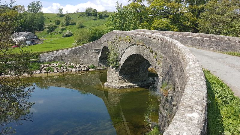
Probably Seventeenth Century according to Historic England. Very elegant, I thought.

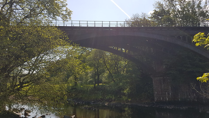
The second of three viaducts on the walk, here’s the lowdown…
“The Lune Viaduct carried the railway 30 m (100 ft) above the river Lune on a 38 m (124 ft) cast iron arch. It was suspended between three red sandstone arches built on each side of it. The total length was 162 m (177 yds). Its beautiful setting has earned it a listing of Grade II*.
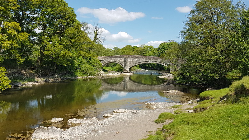
A little to the south a bridge consisting of an arch identical to that on the Lune Viaduct crosses the river Rawthey.
North, an 11 arch red sandstone viaduct set on a curve crossed the Dillicar Beck at Low Gill, shortly before the railway joined the main line. This too is a marvellous site in a splendid setting. Both of the latter two are listed Grade II.”

Restoration work was fairly recently carried out on the bridge; it’s a shame that the line wasn’t converted in the process into a footpath or cycleway as has been so successful elsewhere.

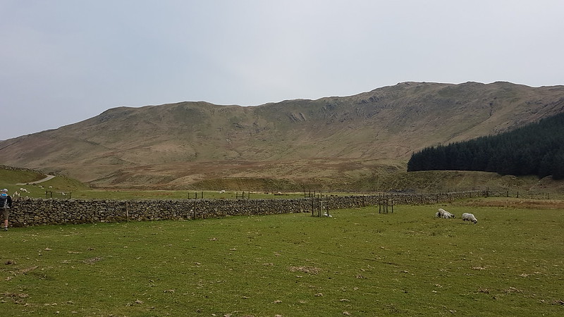
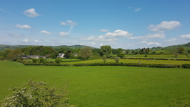
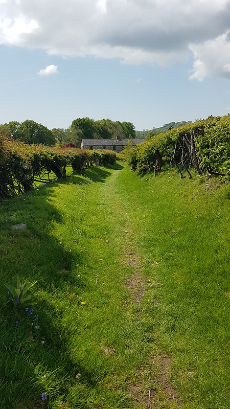
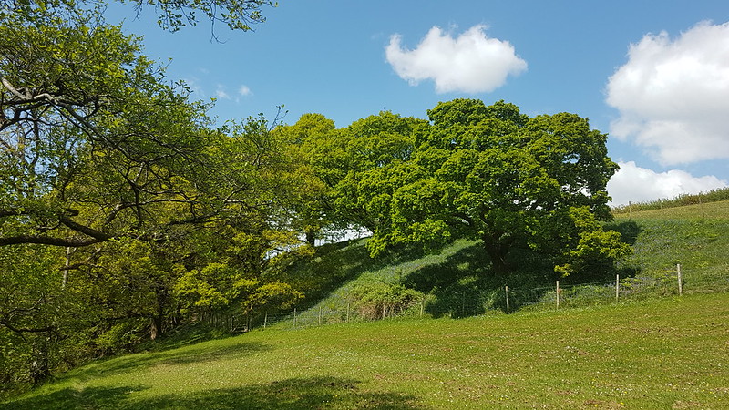
From the viaduct, the Dales Way climbs a little above the river and passes through fields and past a number of picturesque farmhouses.

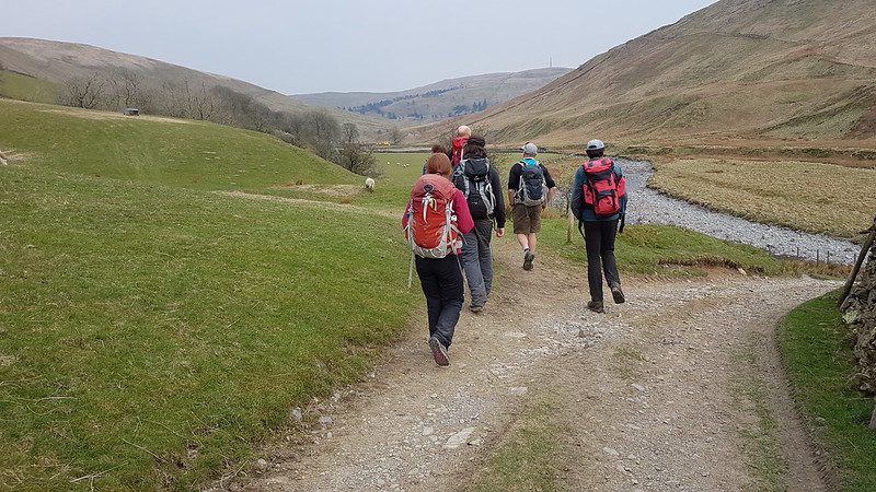
It was lovely walking. Around here somewhere, I was overtaken by a father and (grown up) son who were walking the Way together. They were walking much faster than me (although I did bump into them again a little later), but slowed down to chat for a while. They were really enjoying their walk and did a very good job of selling the Dales Way.
The route rejoins the river just beyond Hole House…
At Hole House there seemed to be two houses connected by a little section of roof, which struck me as very neighbourly and practical.

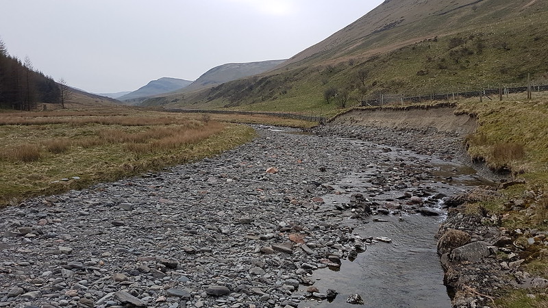
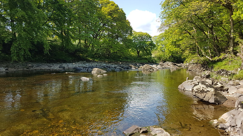
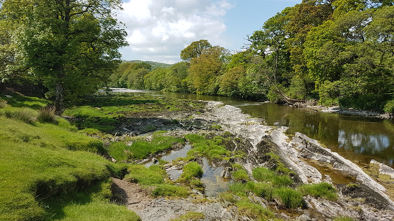
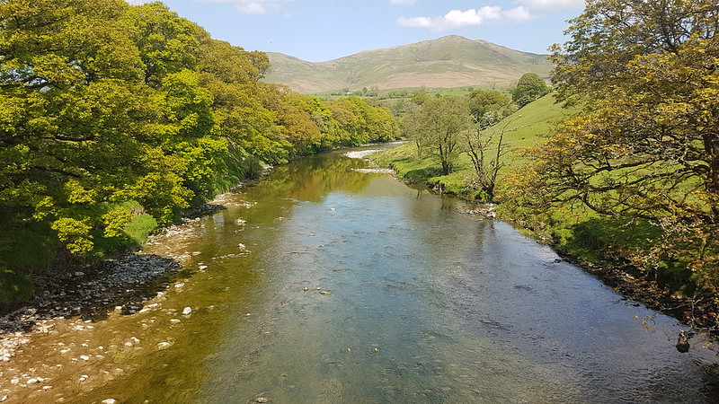
Maybe not the best photo – a fence prevented getting closer – but here the river passed through a very narrow, rocky cleft, clearly flowing at great speed. Just upstream the river is much wider and far more placid looking…
I’ve been reading river guides, for kayakers, to the river and some of it is pretty sobering – we shan’t be venturing onto it in our open inflatable canoes any time soon.
Near where Chapel Beck flows into the Lune I met the four walkers who had passed me by Haverah Beck and who’d now found a very pleasant spot for their picnic lunch.
I dutifully took photos of all the points where sidestreams entered the Lune, including Chapel Beck, and of the many footbridges which took me over those streams, but have decided not to include those not particularly exciting pictures in what may already be an overlong post!
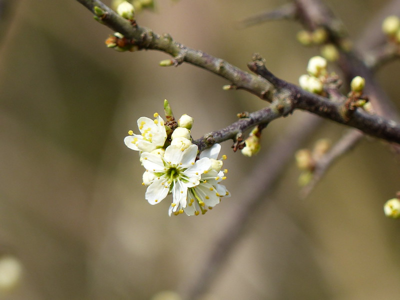
The woods here were full of Bluebells, but, as usual, my attempts to capture the way the flowers seem to blush the woodland floor a deep blue failed miserably.


Sadly, there’s isn’t a great view of Lowgill viaduct from down by the river – I guess I will have to come back. What a shame!
“Believed to be C16 or earlier. Humped and unusually narrow. Forms part of ancient north-south route along Lunesdale, used in C17 and C18 by drovers. A very picturesque feature in this setting.”
TBH can attest to the description ‘unusually narrow’: she wasn’t best pleased about my navigation last year when she was driving us this way to meet our ‘camping friends’ for a walk.
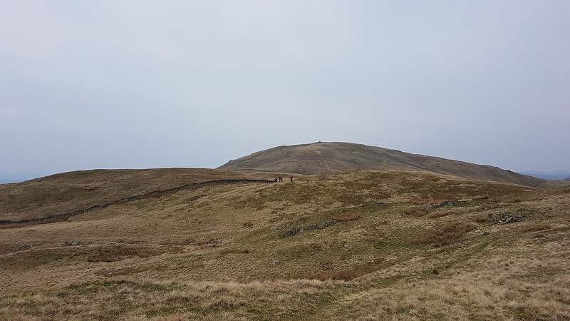
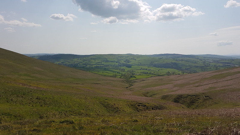
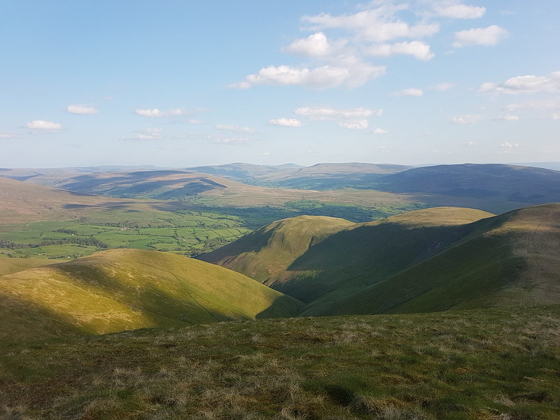
That day we climbed Fell Head…
…which is where I was headed on this occasion too.
I’ve been wondering why I have no photos from my hot sticky ascent out of the valley up towards Four Lane Ends, or of the clearly little used path through the farmyard at Riddings, or of the rather nice looking little campsite at Beck House, where the lady of the house escorted me through a small section of track by the house which was sardined with Sheep. I’m not sure whether it was a kindness or whether she was worried that I would let the Sheep escape, or perhaps a mixture of the two. Anyway, it occurs to me now that the reason that I didn’t take any photos until I’d climbed most of the way to the shoulder of Fell Head called Whin’s End is that my phone had been low on charge, so I’d plugged it into the portable charger Little S bought me and stuffed it into the top of my rucksack, where it wasn’t handy for quick snaps.
I retrieved it again when I halted for a rather belated brew stop.
I climbed Lambrigg Fell once, many years ago, and remember bumping into and chatting to the farmer, who expressed his surprise to meet anyone else up there.
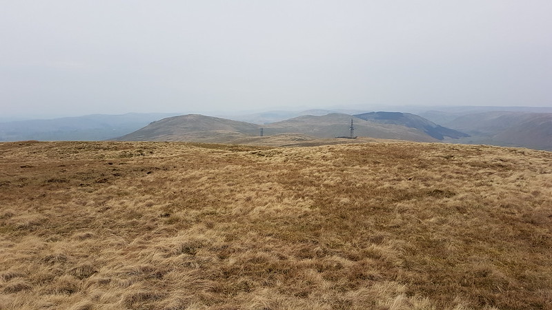
The path I took onto Whin’s End, seen in the photo above, is the same path which we used to contour round to Blakethwaite Bottom for a wild-camp one wet weekend six years ago. I was thinking I should come back some day and walk its entire length.


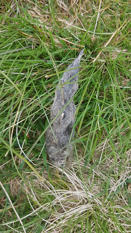
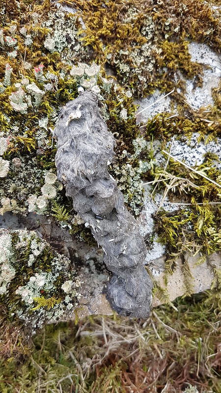
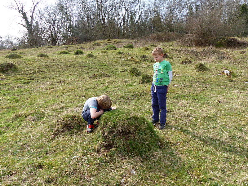
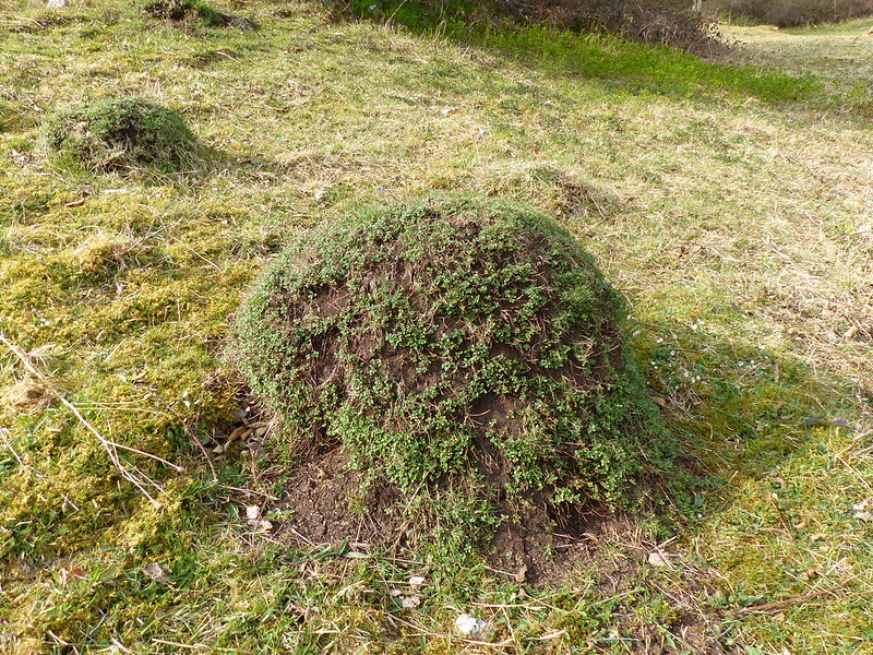
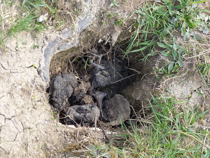
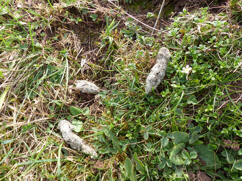
I know, I’m sorry, but I’m increasingly struck by how many hill-paths are regularly marked with fox scat. I’m encouraged to think that there must be a very healthy population of foxes on our hills even though we rarely see them.

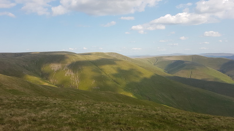

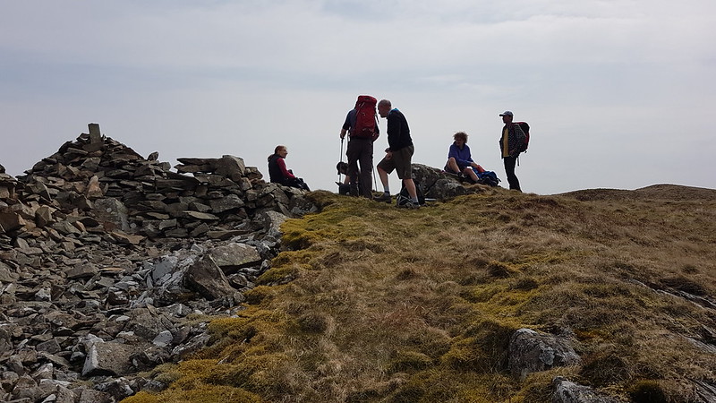
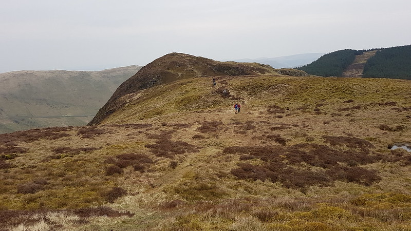
It was getting on a bit by now, but there were still a few other walkers on the Howgill tops.
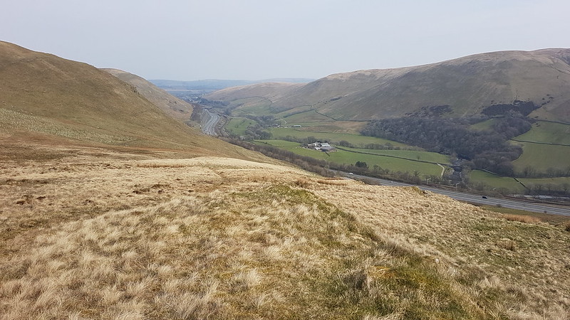
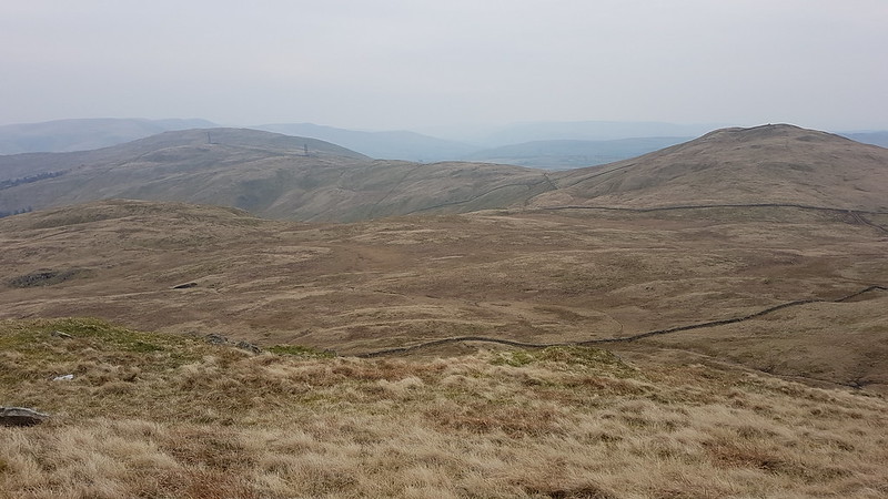
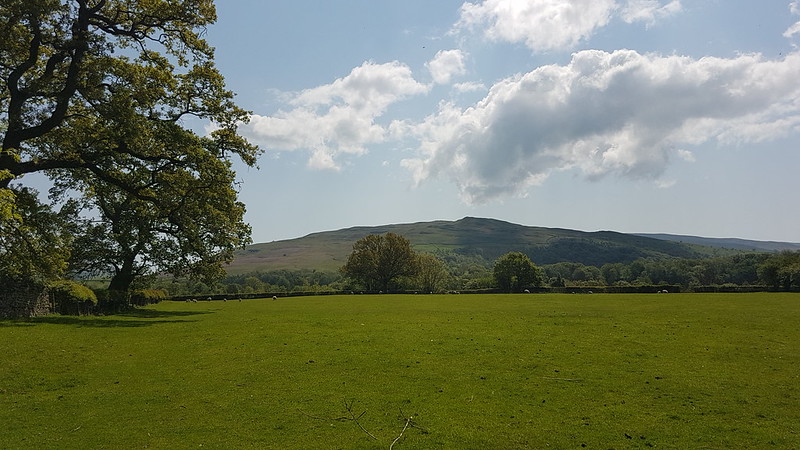
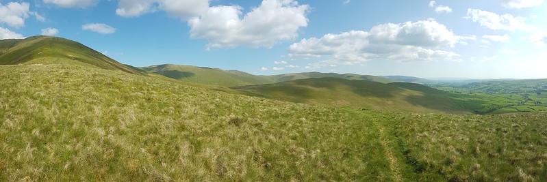
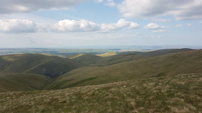
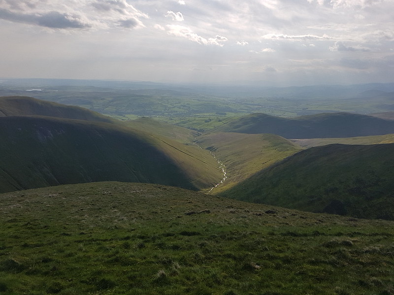
Given my Lune obsession, I was really thrilled by this view of three valleys which carry major tributaries all converging.


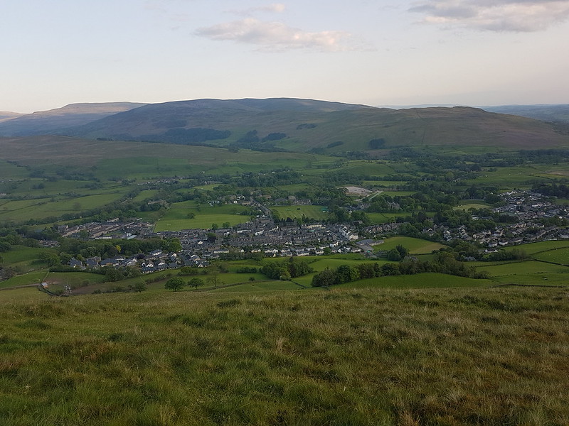
By the end of my walk, it was getting a little shady for photos. As I descended, I could hear a crowd cheering and some sort of open-air concert. I could hear the vocals very clearly and the drums up to a point, but no other instruments, some acoustic trick of the topography no doubt. The singer was doing an eclectic set of covers which began with ‘Teenage Kicks’. I don’t remember what the other songs were but I do recall being impressed by the choices, and it sounded like the crowd were appreciating it too.

MapMyWalk gives a little over 16 miles and about 750m of ascent. Probably best I didn’t try to extend the route down to Cautley. However, how about a Tour de Howgills? Now then!