Pen-y-Ghent in a winter suit.
I felt like I was holding all the aces. It was the day before my birthday, the sky was completely cloudless and the hills had a new dusting of snow. What’s more, I was driving along the A65 with an appointment with Ingleborough. The only thing I hadn’t decided was quite which route I would follow. I’d been perusing the map and some favourite websites the night before to try to make a decision. I hoped to find Purple Saxifrage flowering as we did last year on Pen-y-ghent. Now, Saxifraga Oppositifolia is rare in England, but I’d found several references to the fact that it grows on Ingleborough as well as Pen-y-ghent, not least in John Self’s online book ‘The Wildlife of the Lune Region’ which suggests that an exploration of the steep and fractured cliffs of the western face would be the best place to look. I also found an enthralling description of a route which would fit the bill perfectly.
But now that I could see those western slopes through my windscreen, I knew that they were in a deep shade and seemed likely to be so for some time to come. Knowing that I had to play the hand I’d been dealt, I decided to start my ascent from Clapham instead.
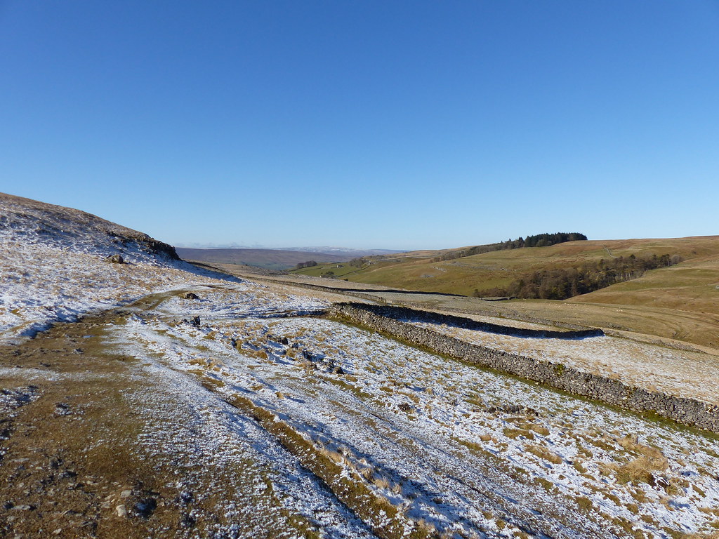
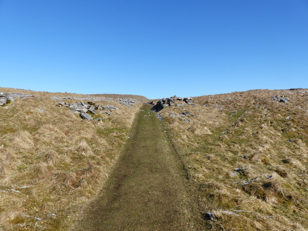
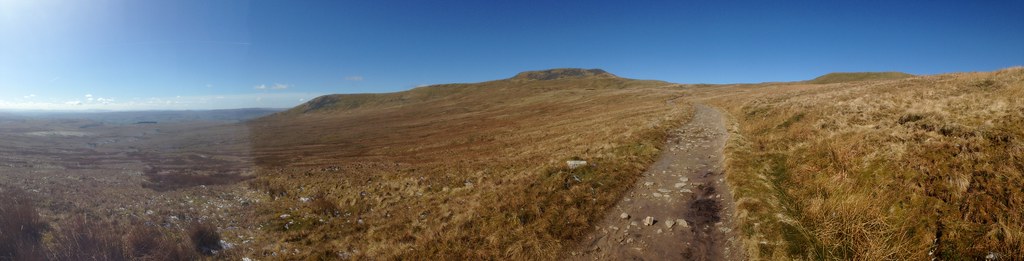
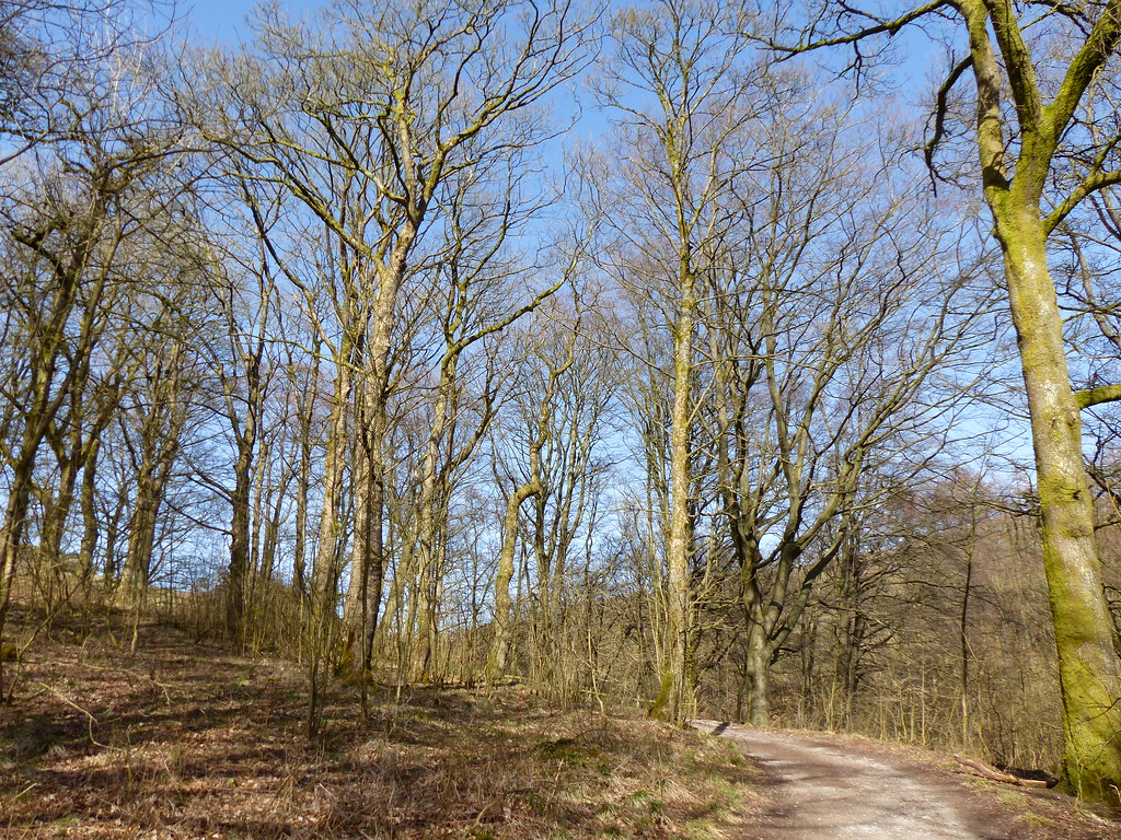
The first trick of the day was to find the right path out of the village and then a steepish pull brought me to Long Lane…
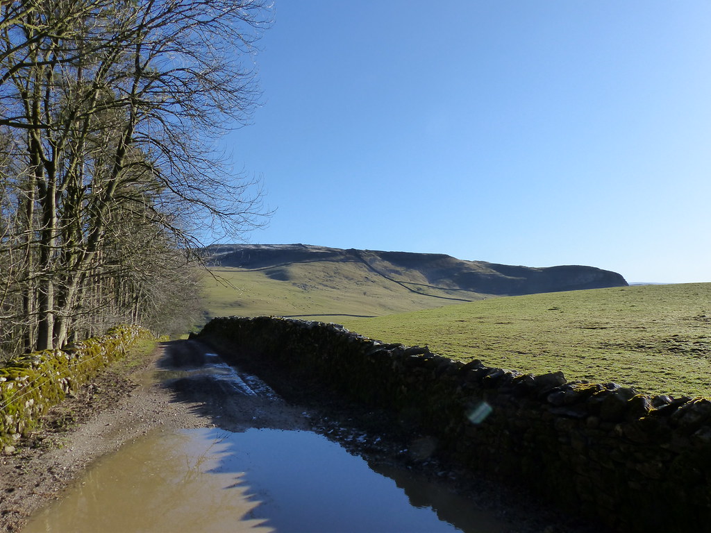
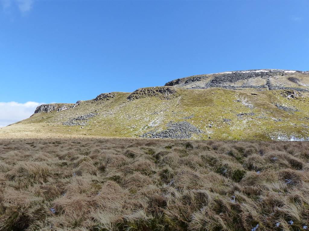
Long Lane. The edge on the right is Robin Proctor’s Scar which I photographed last year during a walk from Austwick.
Long Lane climbed slowly but steadily and, although it was cold, it was wonderful to be out in the sunshine.
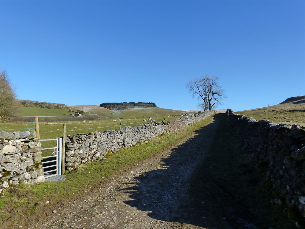
Long Lane again.
I generally try to climb a hill on my birthday, but over the years I’ve learned to be flexible when work or other commitments have not allowed me to. This year I chose to take my birthday walk a day early, simply because the weather forecast was much better for that day.
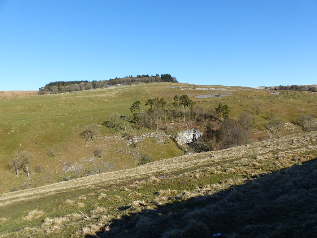
Rayside Plantation and Ingleborough Cave.
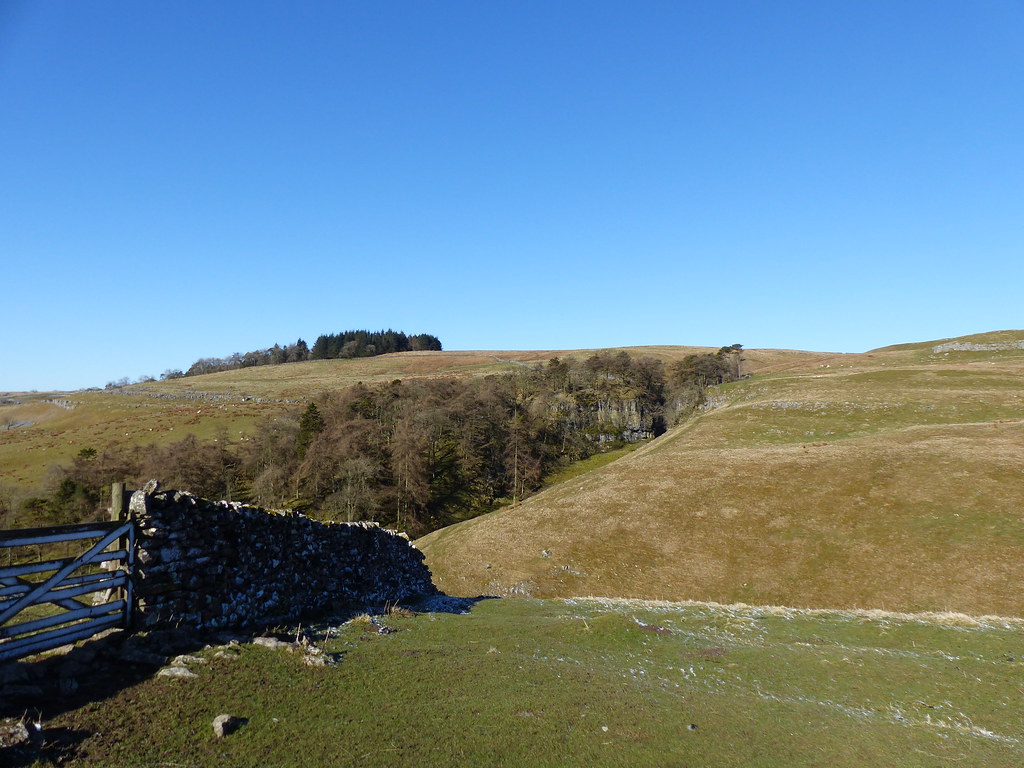
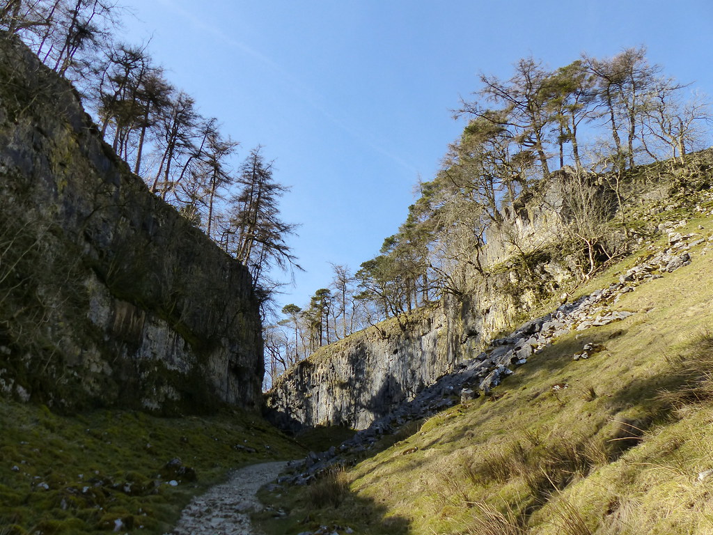
Trow Gill.
Pretty soon I’d reached the snow. At home we’d had rain the night before, but here it had fallen as a snow.
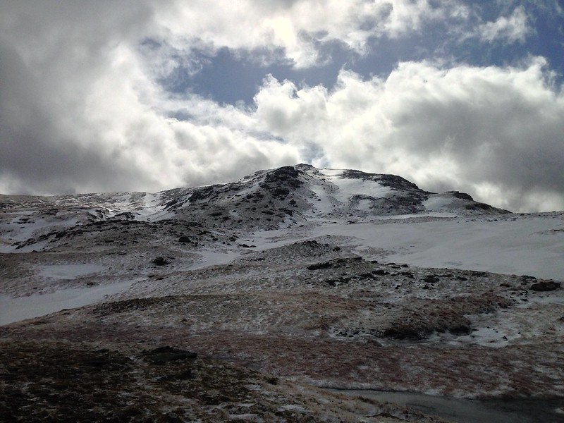
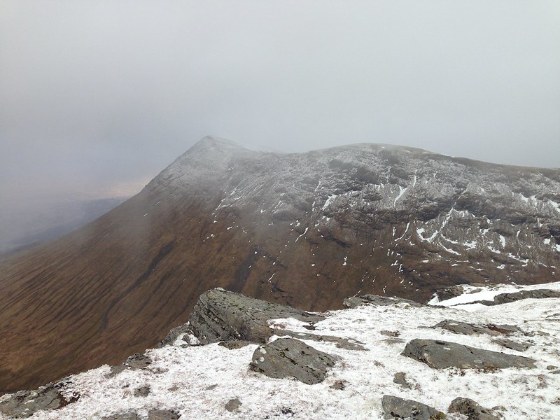
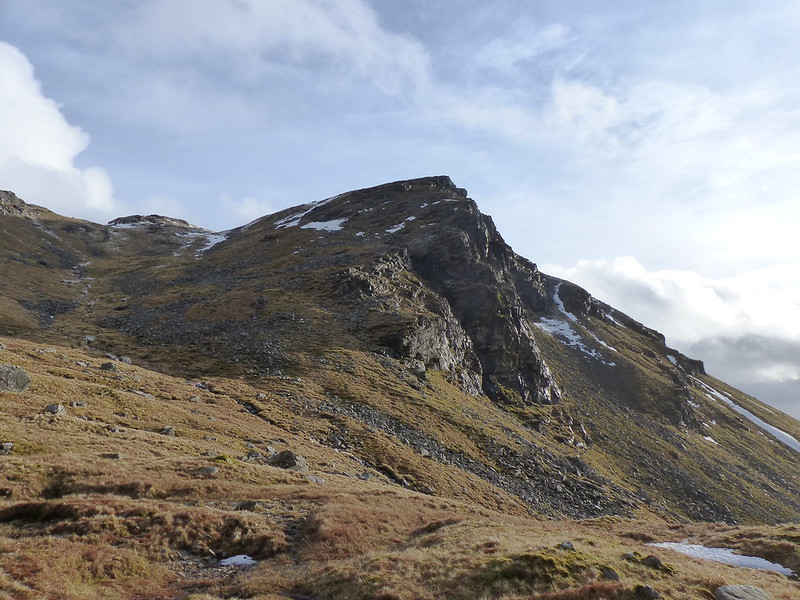
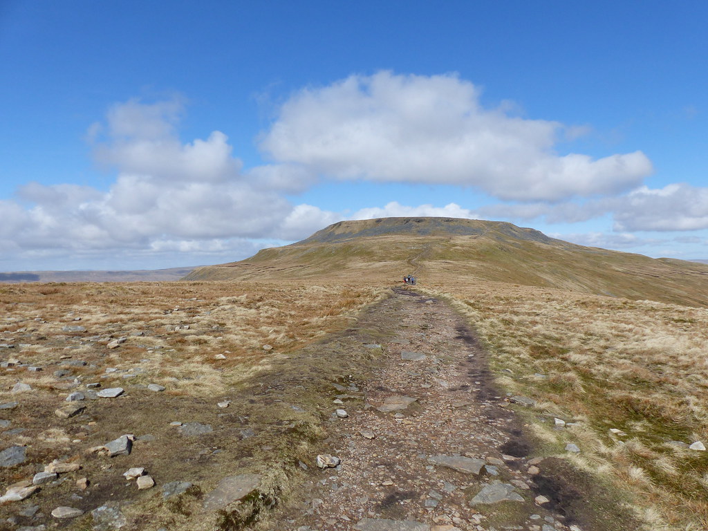
Ingleborough and Simon Fell.
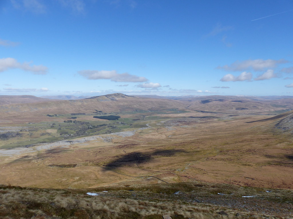
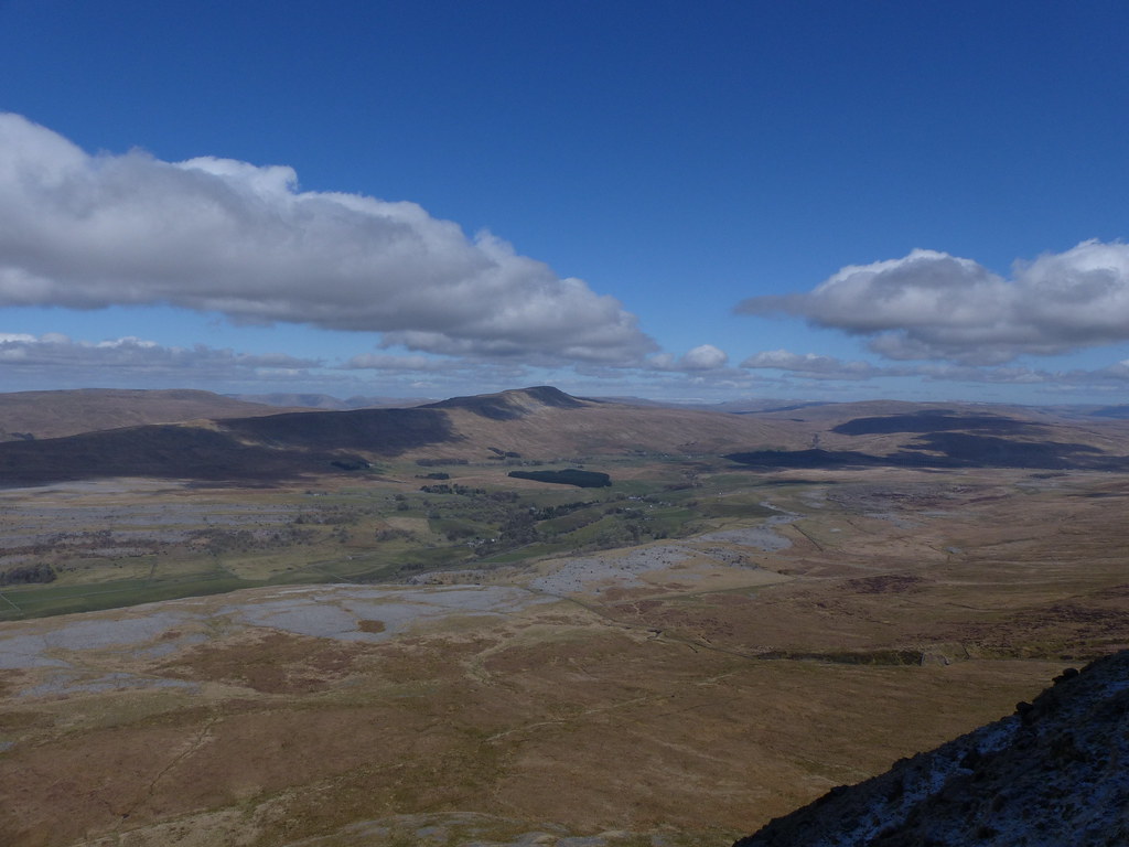
We see Ingleborough from Eaves Wood and on our daily drive in to Lancaster, and it has a very distinctive profile, so the view from the south-east was oddly unfamiliar.
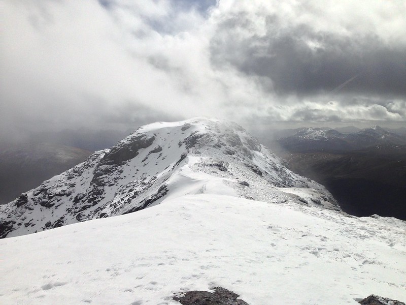
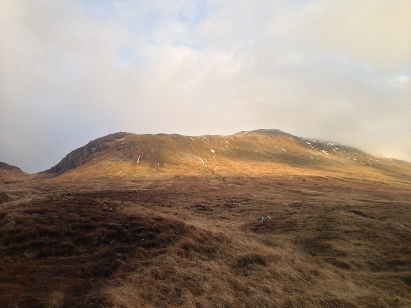
Pen-y-ghent.
Looking back towards Norber. Distant Pendle Hill on the left-hand skyline.
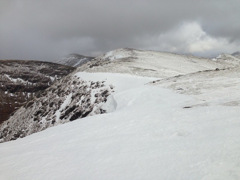
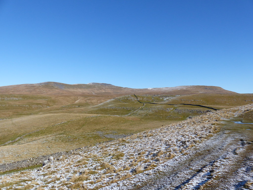
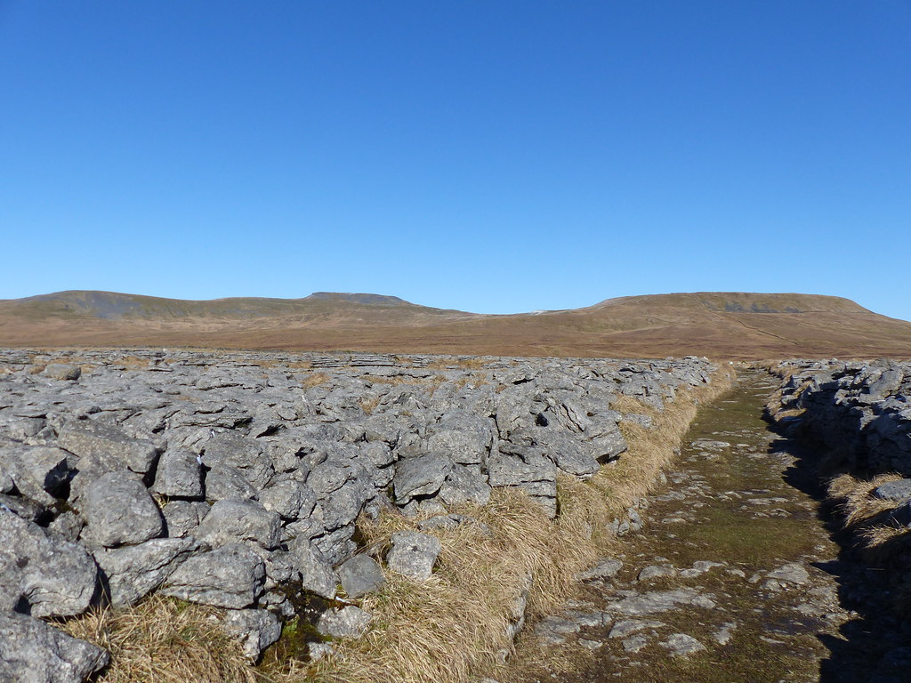
From the area around Long Scar I’d turned left on a marvellous green lane which made the going very easy. Even through areas of limestone pavement…
Ingleborough and Simon Fell.
Pen-y-ghent.
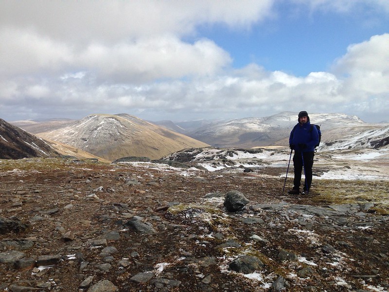
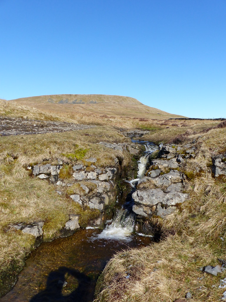
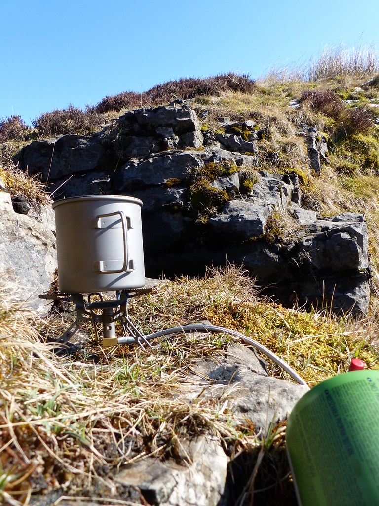
The breeze was only gentle, but still chilling, so I was pleased, after passing through the gate into the large field called The Allotment, to find a small hollow by a stream which afforded some shelter.
It was a real suntrap! Everything was coming up trumps. I parked myself beside the beck: time to get a brew on.
A prospect to warm the hearts ♥.
I felt quite warm and cosy sunbathing here, although there was plenty of evidence that I was kidding myself a little:
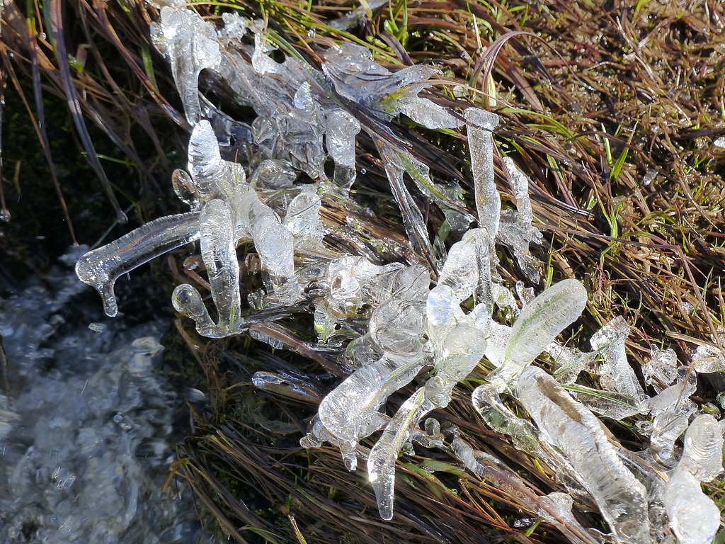
Ice diamonds? ♦
I’d been listening to Meadow Pippits serenading the sun and I think I saw a couple of Wheatears, although I couldn’t be sure. It was great to hear some birdsong after the cold spring we’ve endured.
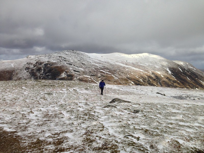
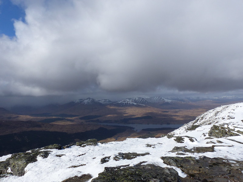
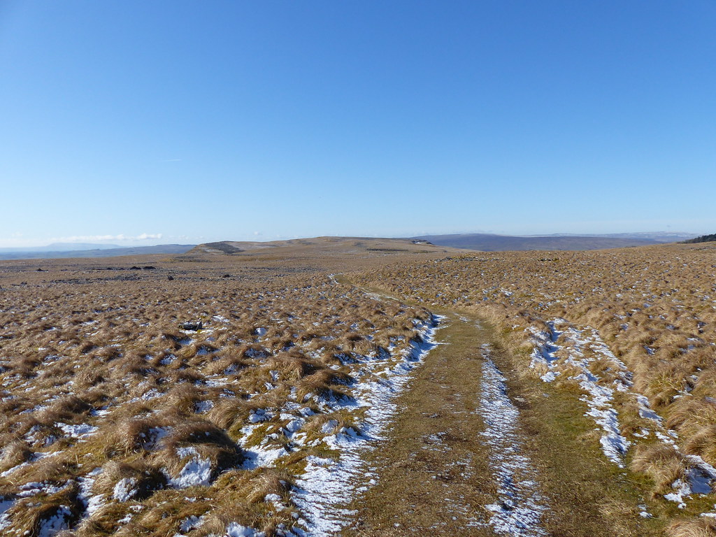
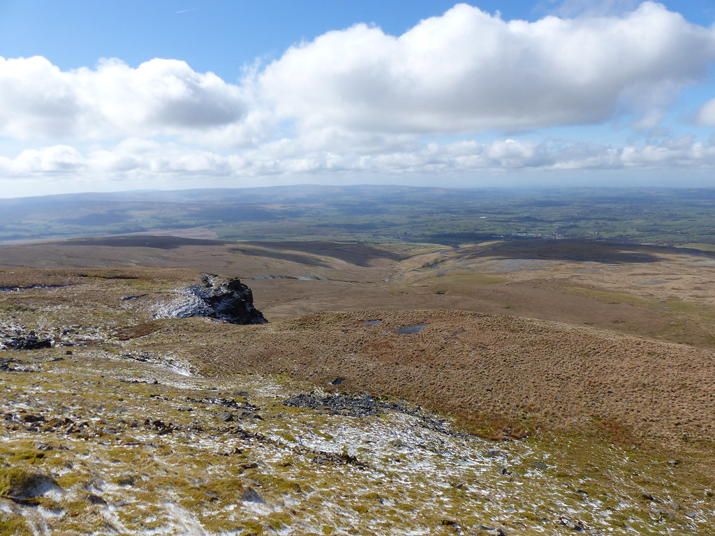
I sat for around half an hour in the sun, but then it was time to get going again. After the very gentle climbing I’d been doing, the next section was a little steeper, but brought the compensation of even better views.
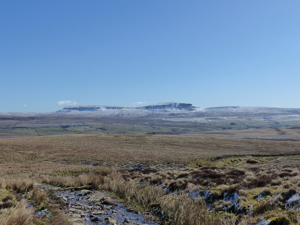
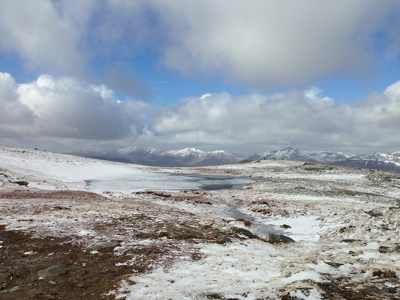
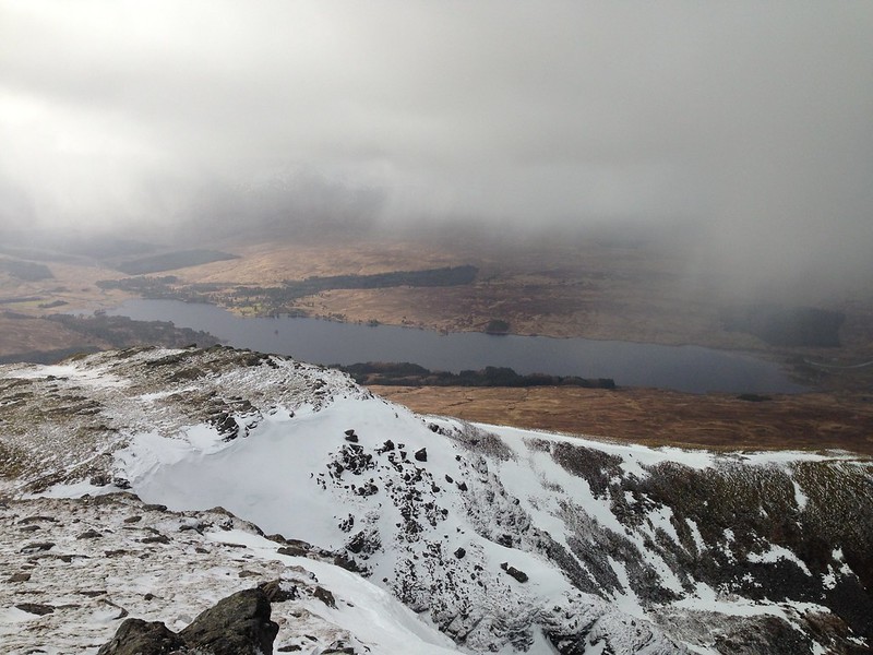
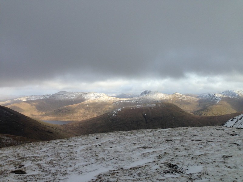
Pen-y-ghent and Ribblesdale.
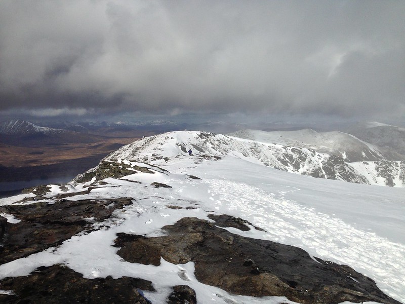
Soon I’d reached the top edge of the great bowl between Simon Fell and Ingleborough.
And then I was on the ridge itself, with new views to take in.
Whernside and the valley of the River Doe. (Doedale?)
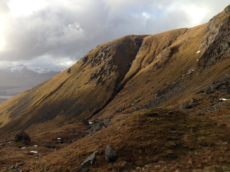
The western edge of Simon Fell and Souther Scales Fell.
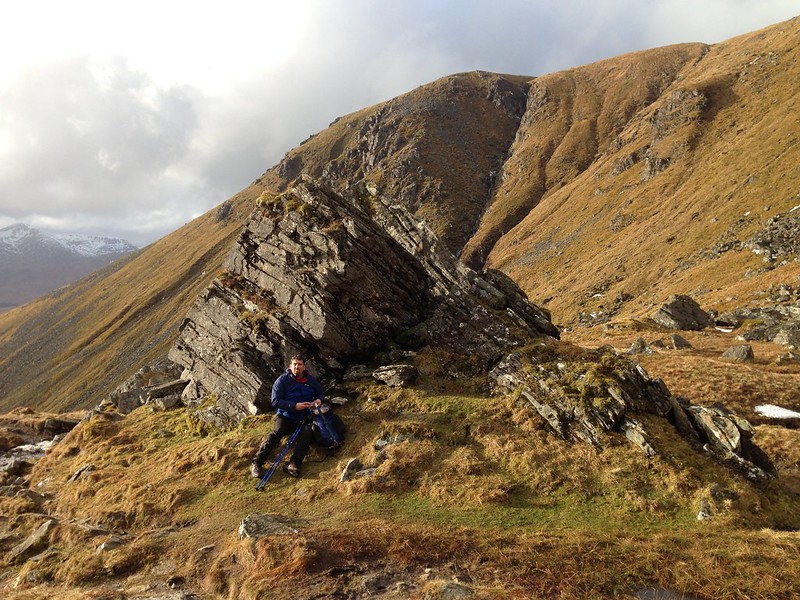
Black shiver? The fissured boulder on the left is so distinctively gritstone that it had me thinking of all the rock features of the Dark Peak which still seem so familiar even though it’s many years since I visited any of them.
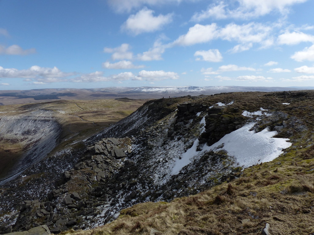
Black Shiver from the other direction. I think.
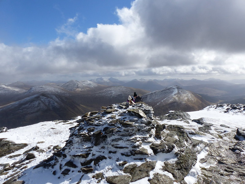
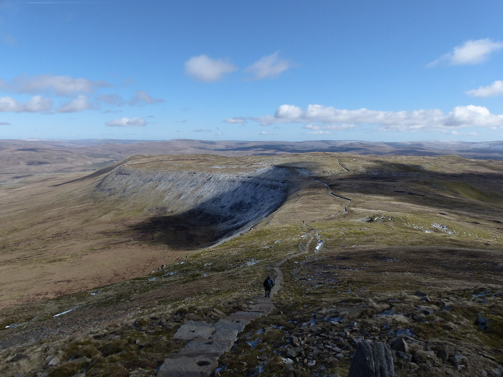
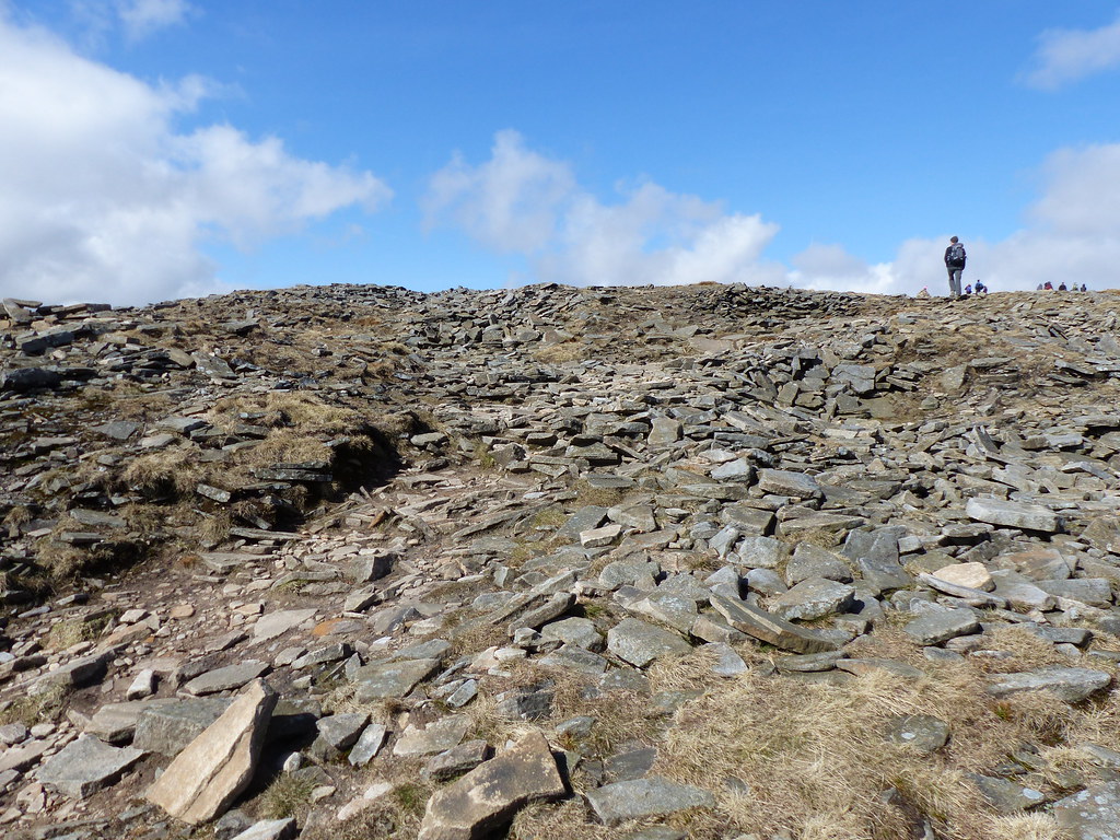
The broad plateau of the top of Ingleborough was busy with walkers eating their sandwiches. I walked around the edges, thinking I could find some sort of shelter, but it seemed to be impossible to get out of the icy wind. Even the four way shelter at the very top didn’t seem to offer much protection, so I decided not to join the clubs ♣.
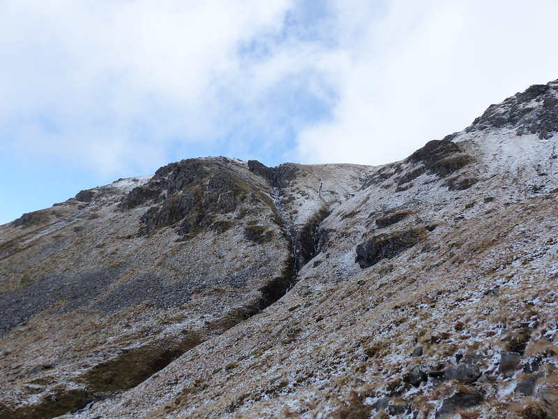
So I carried on, dropping down towards the prominent notch which is where, at some time in the past, a landslip has dropped down the slopes (hence Falls Foot on the lower slopes).
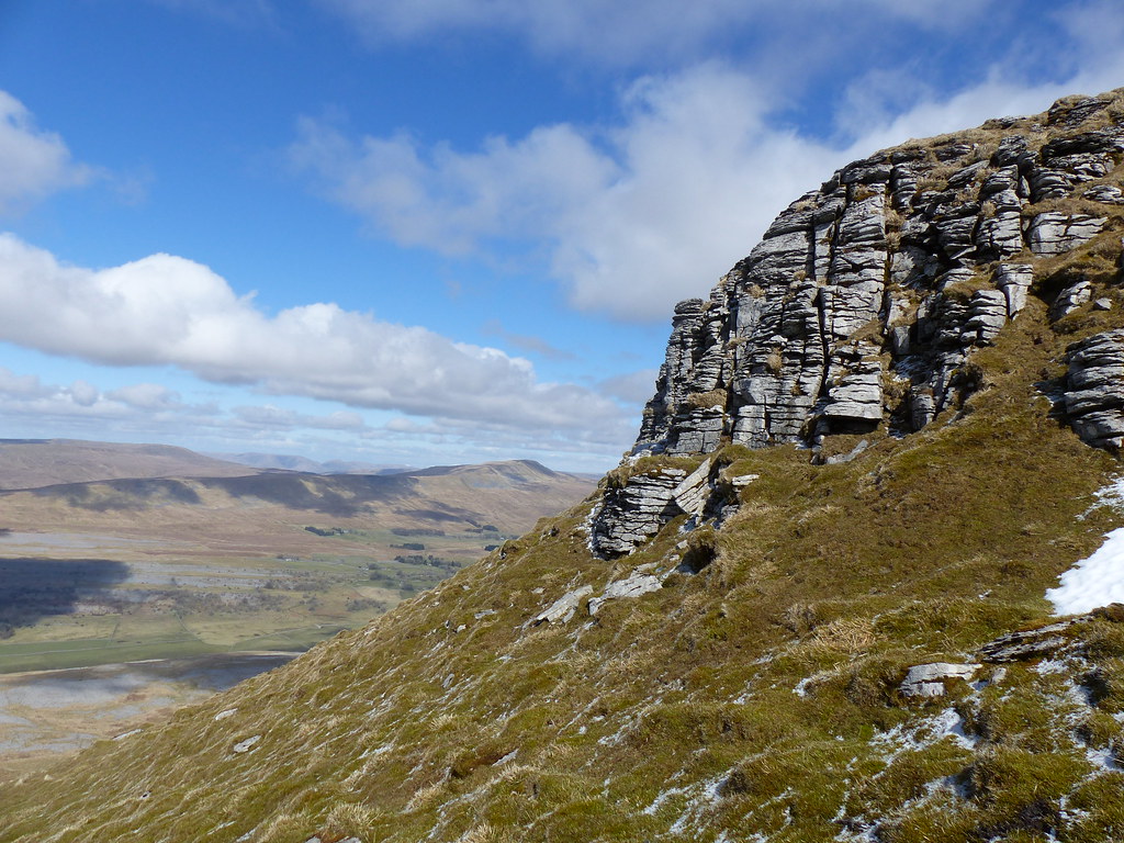
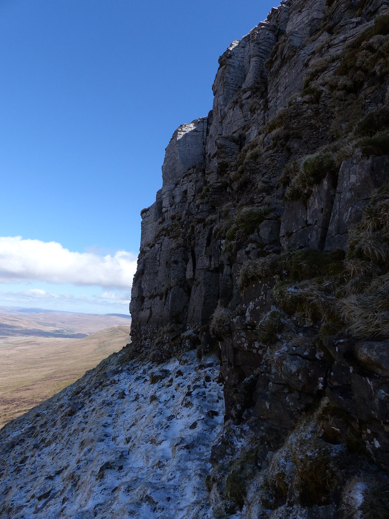
My descent took me past a layer of broken limestone crags…
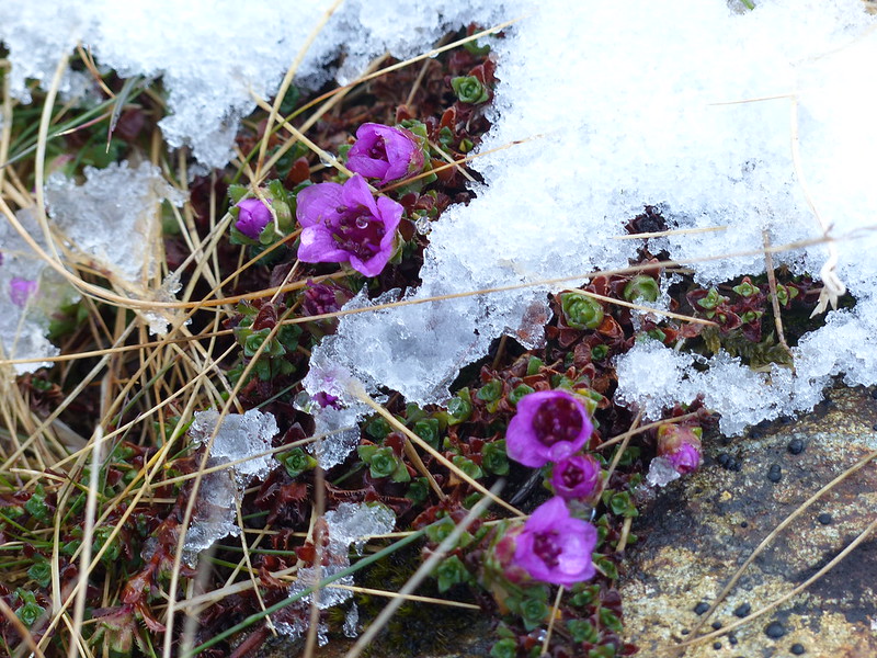
Which is what I was looking for. So I began clambering around beneath those, in search of the, initially elusive, Purple Saxifrage.
I spotted these prominent plant stalks in a cliff…
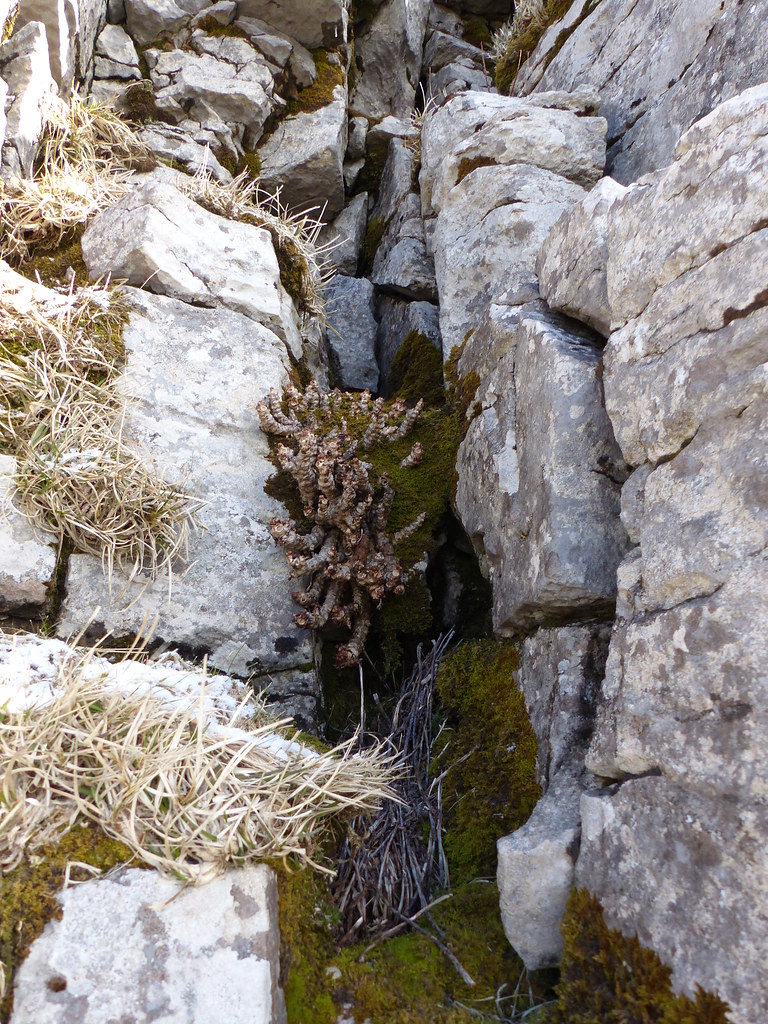
They were much too large to be saxifrage, but intriguing none-the-less. I shall have to return later in the year to see if I can discover what this is.
Eventually I found what I was looking for…

…but the flowers weren’t quite open. Or not many of them were…
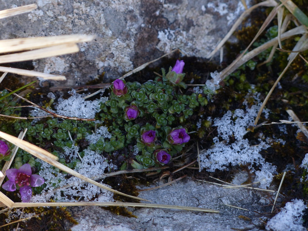
I’d read that the flowers are purple when they first open, then gradually turn pink. There’s quite a contrast in fact, with the flowers we saw last year:

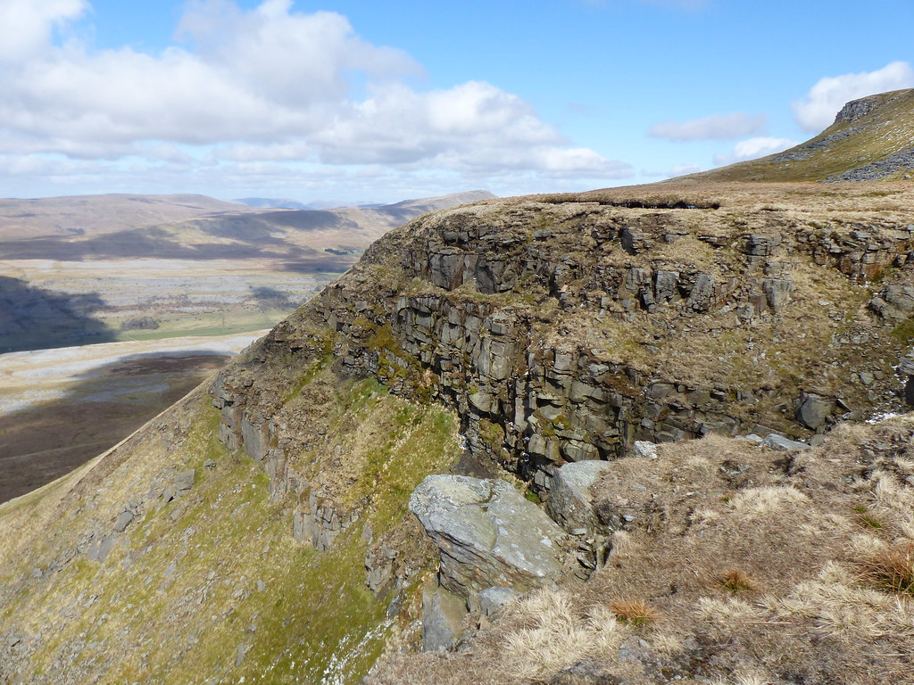
Further exploration brought me to a dramatic spot…
…where, with snow on steep ground, a limestone cliff above and another cliff, of a different rock, below, I decided that discretion was required and turned back.
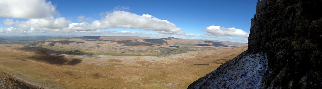
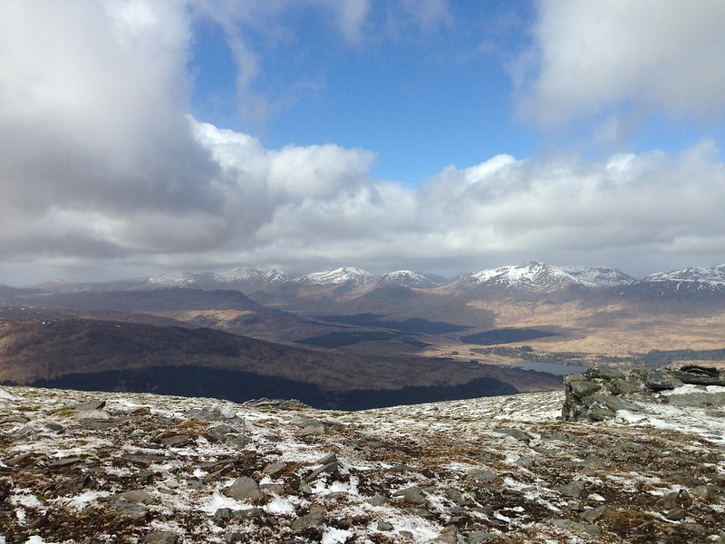
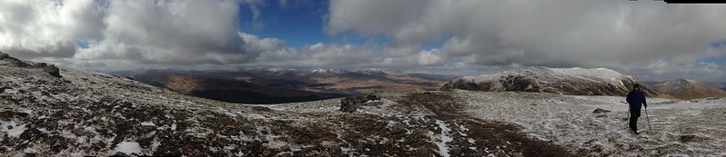
Panorama of Whernside. Click to see larger version.
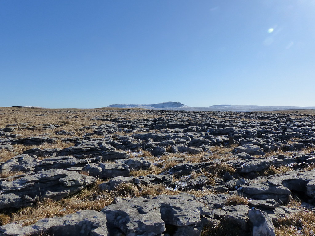
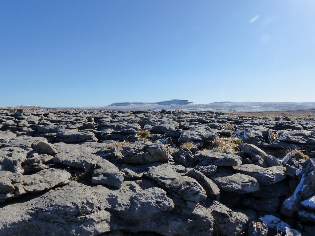
Whernside and the extensive limestone pavements of Raven Scar and Twisleton Scar, part of the Great Scar Limestone.
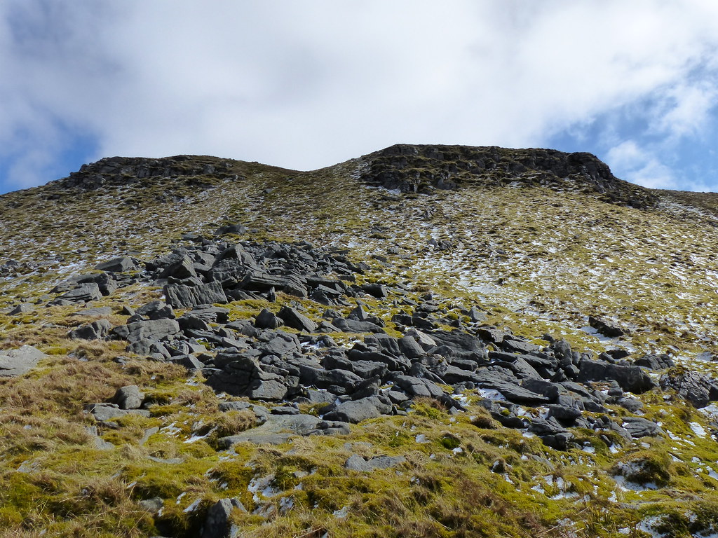
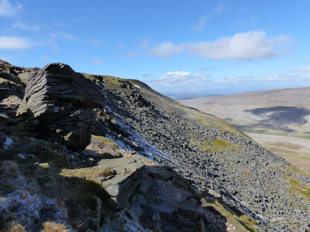
Gritstone rockfall below limestone crags. To say that the geology of this area is complex is a massive understatement.
The Yoredale Series are layers of sedimentary rocks – limestones, sandstones, shales and a cap of gritstone – which characterise the Yorkshire Dales. In the photo above you can see two sets of crags, the lower limestone, the higher gritstone with gritstone boulders below the limestone.
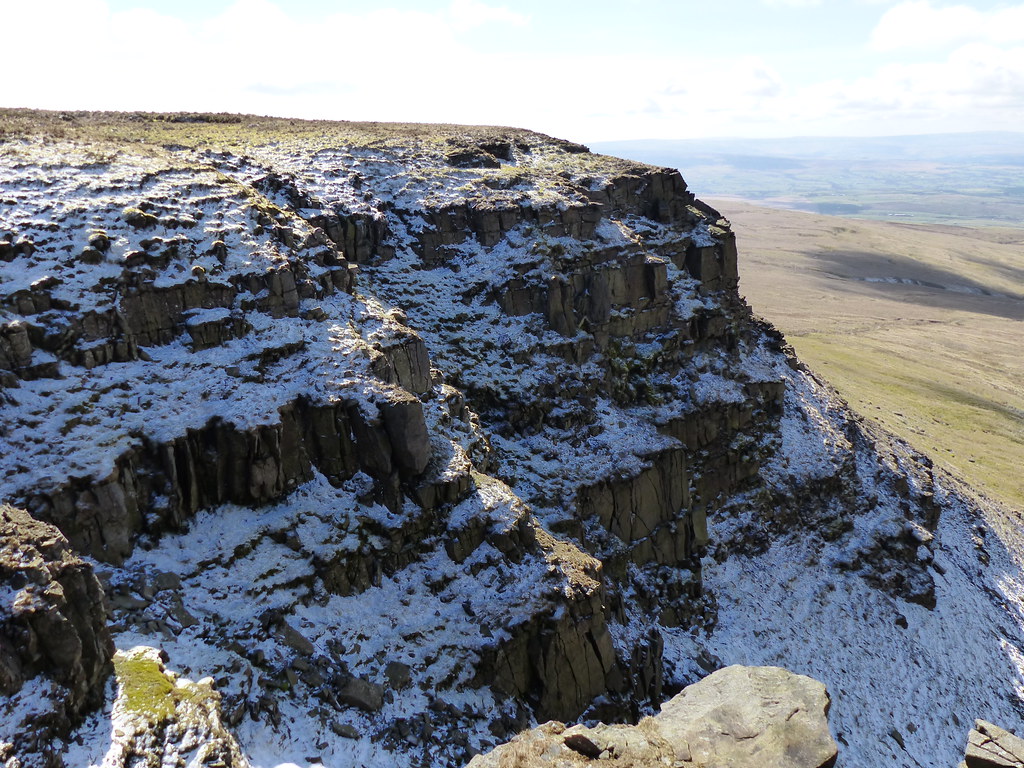
The crags at the top of The Falls. In shade still.
And, on the other side of the gully, free of snow.
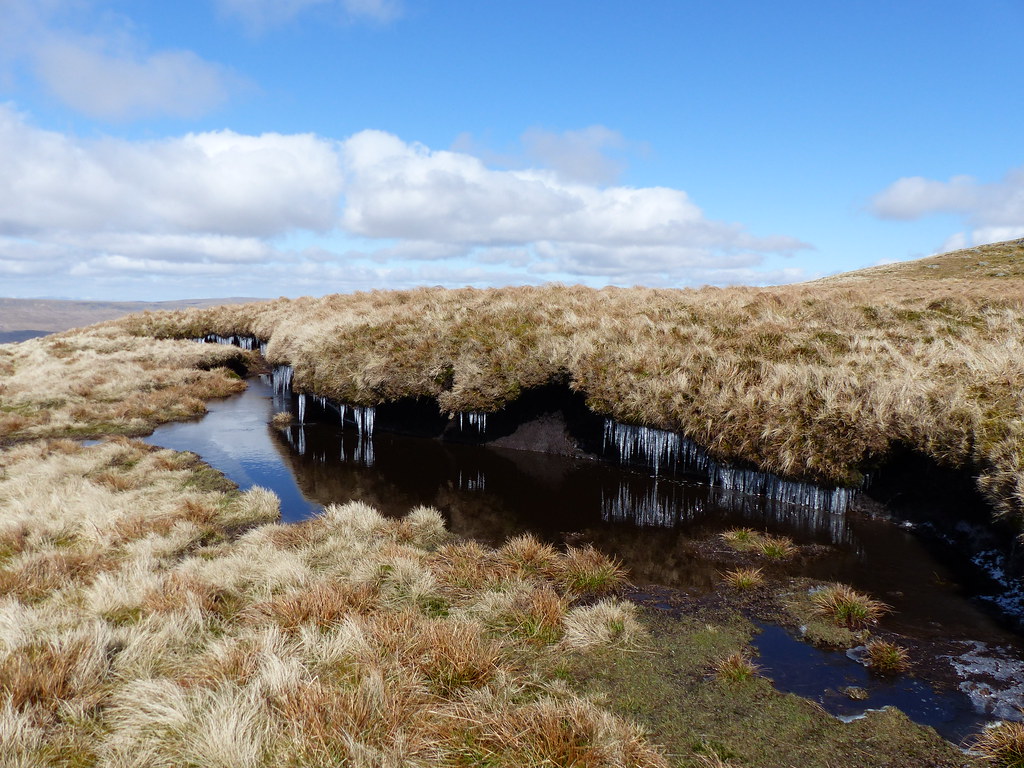
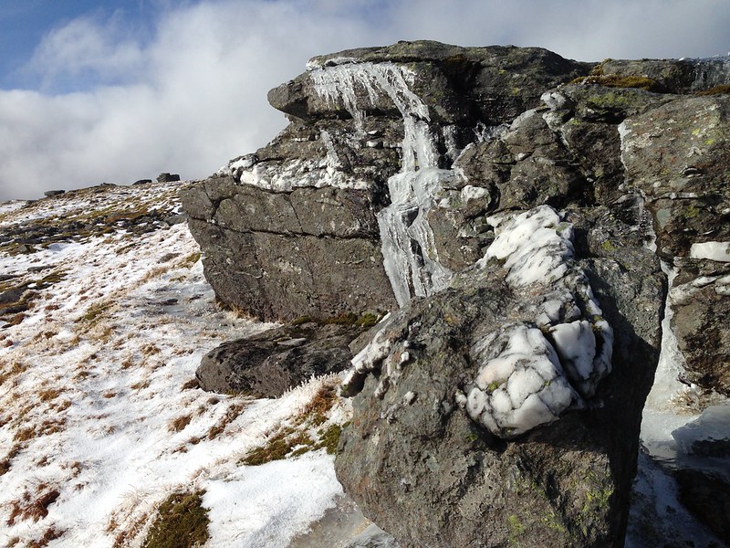
Icicles, in spades. ♠

Still quite cold, then!
Just along the edge from the Falls there are two heaps of stones…
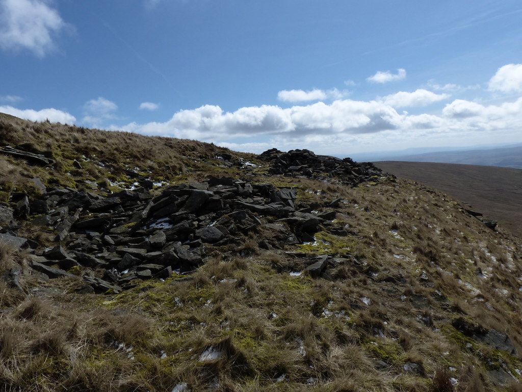
…that looked likely to be the remains of some sort of manmade structures. There’s a long history of Ingleborough being occupied, with an Iron Age hill-fort and hut circles and, even more improbably, a very short-lived Hospice Tower built in 1830, the base of which can still be seen on the summit. What age or purpose these small rocky piles might have had, I don’t know, but it’s interesting to speculate.
I climbed part of the way back towards the summit, detouring once again to check out a couple more limestone crags and find some more saxifrage.

One short climb brought me to the Limestone Load, a level shelf between the two sets of crags which had gritstone features on the surface, but also a long line of dolines…
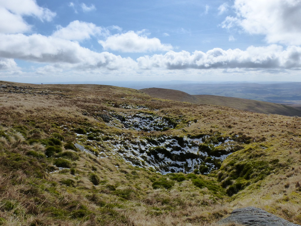
Some of which had obvious limestone features…
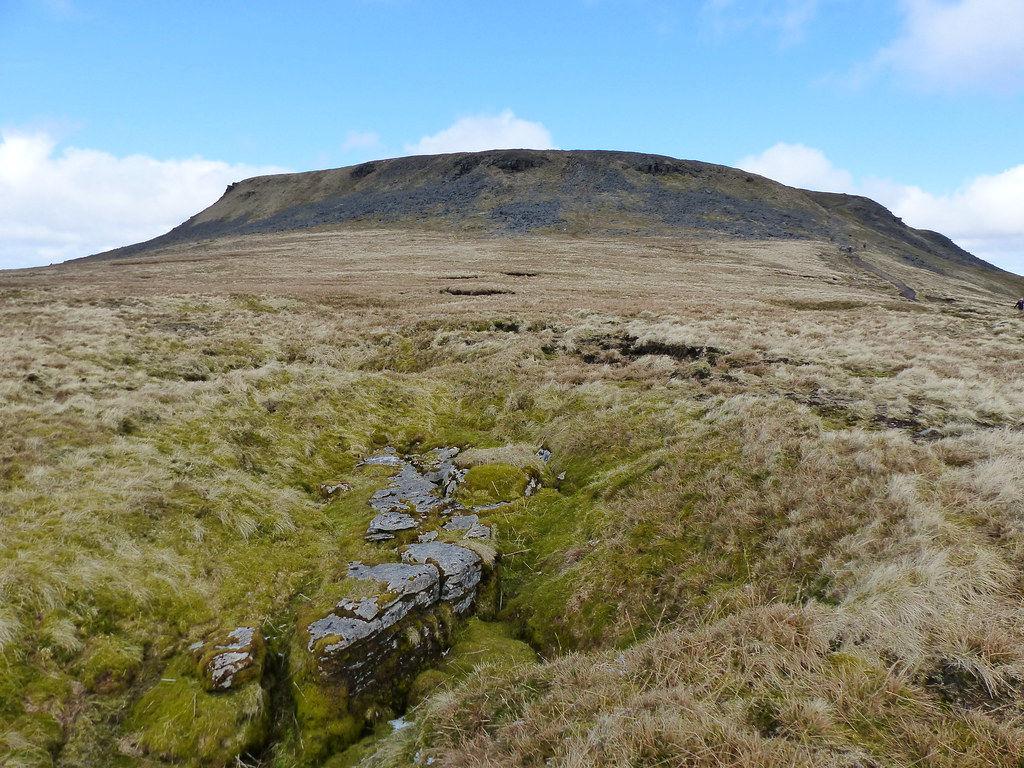
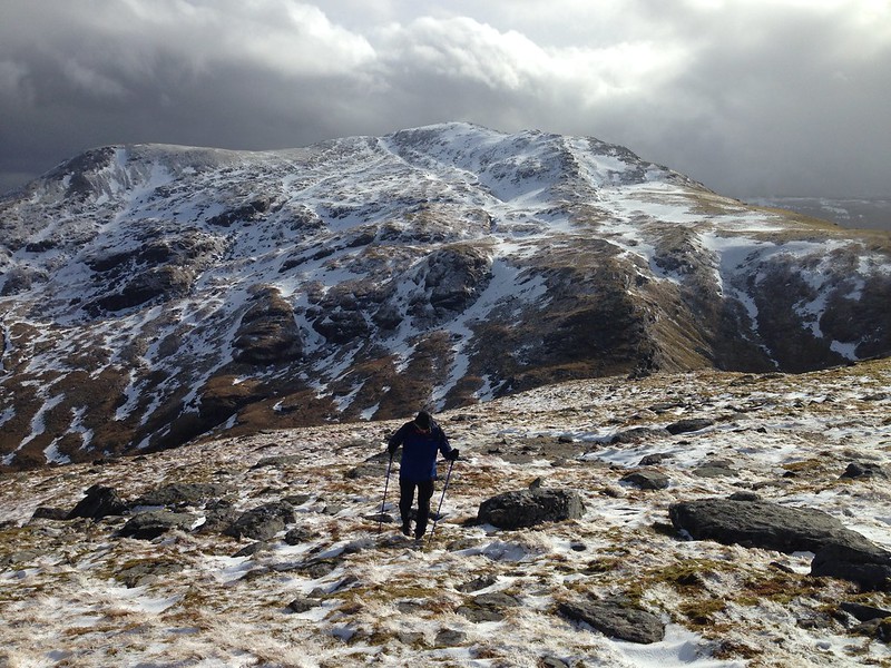
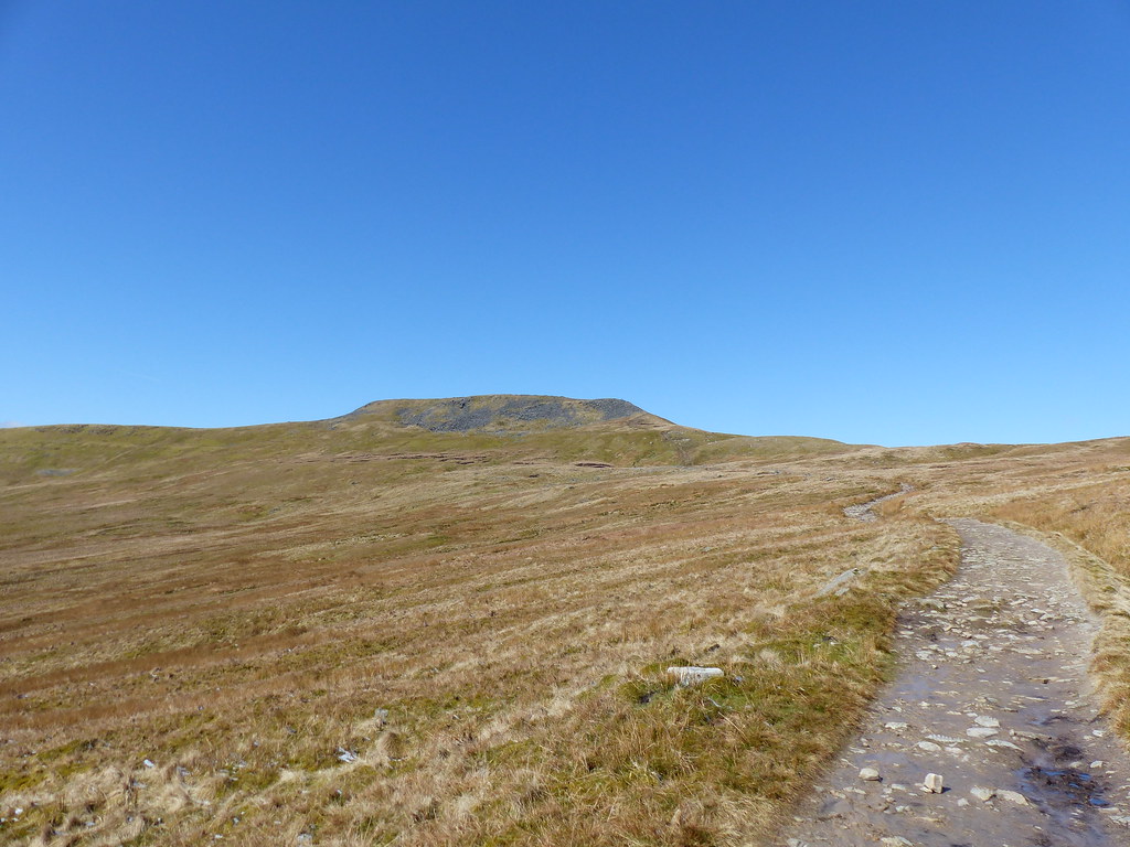
I was heading for Little Ingleborough…

Looking back to the summit.
Little Ingleborough.
On the descent from Little Ingleborough I finally found somewhere sufficiently sheltered to make me feel inclined to stop for another brew and a late lunch.
Gaping Gill – Fell Beck falls 98m into the largest underground chamber in England which is naturally open to the surface.
Gaping Gill pano.
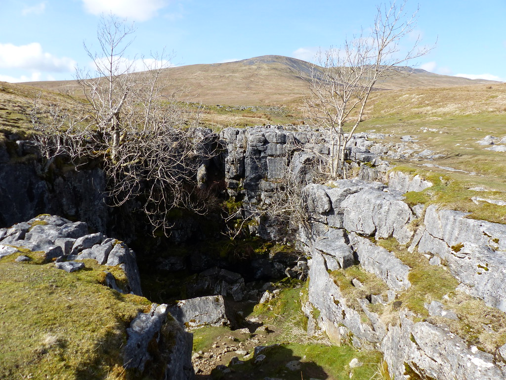
Bar Pot, another entrance to the Gaping Gill system. An exit too: whilst I was taking the photo some scraping sounds augured the emergence of a lone caver.
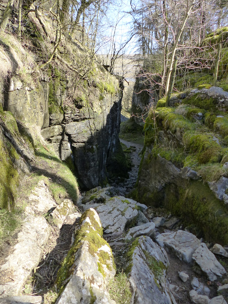
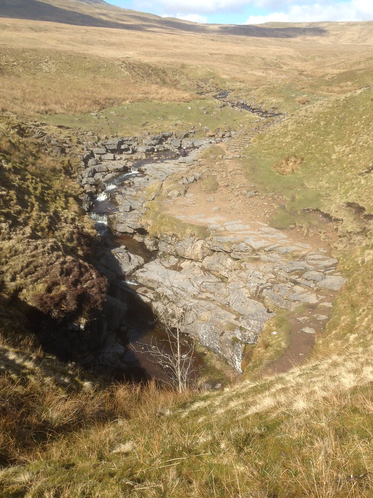
Trow Gill.
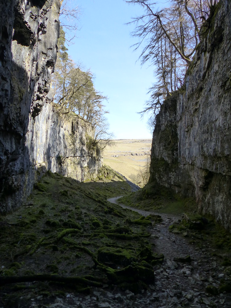
The path descends through Trow Gill, apparently formed by a meltwater torrent at the end of the last ice age.
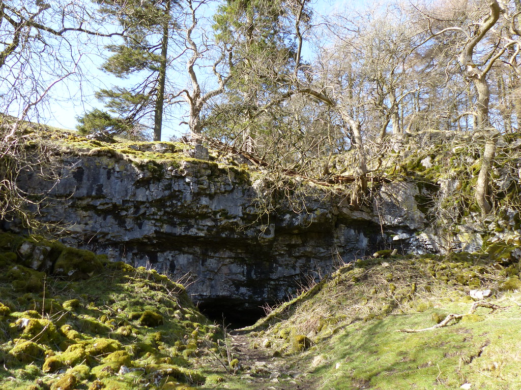
Foxholes a cave where human and animal remains have been found.
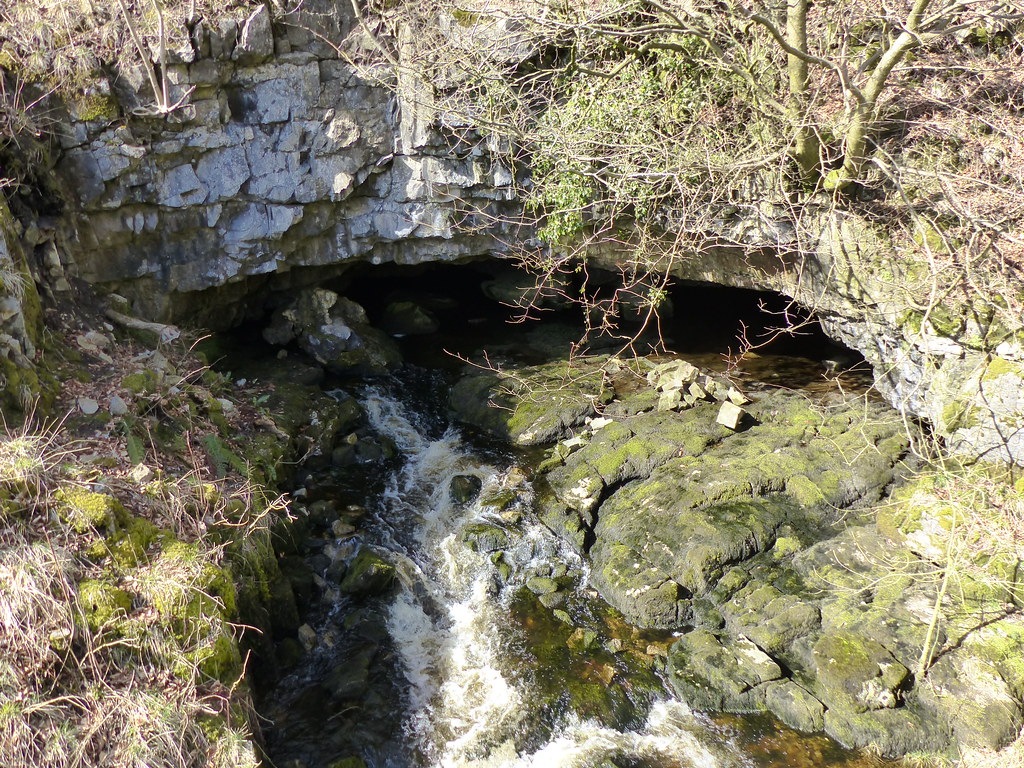
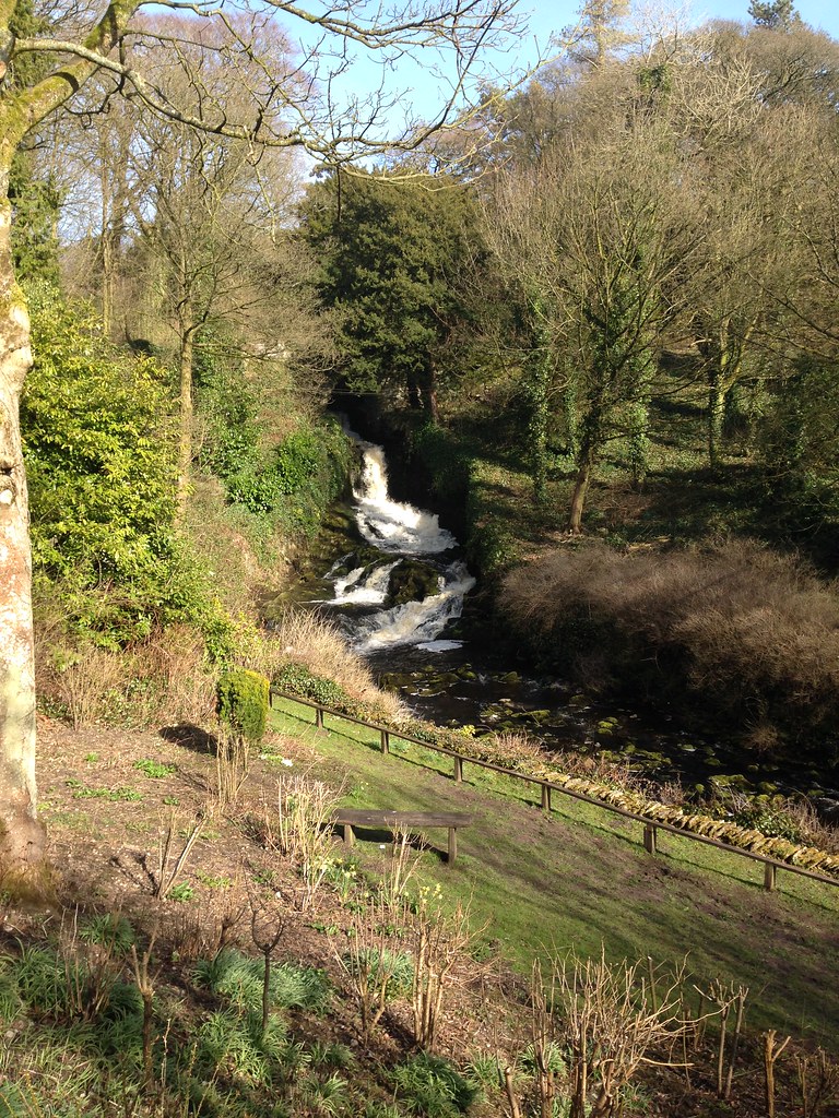
Clapham Beck Head where the water from Gaping Gill finally resurges.

Clapham Beck is one of the sources of the River Wenning and so is another tributary of the Lune, so that this walk is another instalment of my exploration of the Lune catchment area.
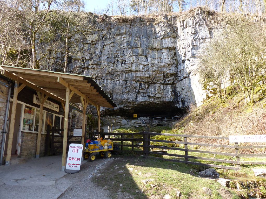
Ingleborough Cave. I haven’t been in there for years, but it’s well worth a visit. Must take the kids.
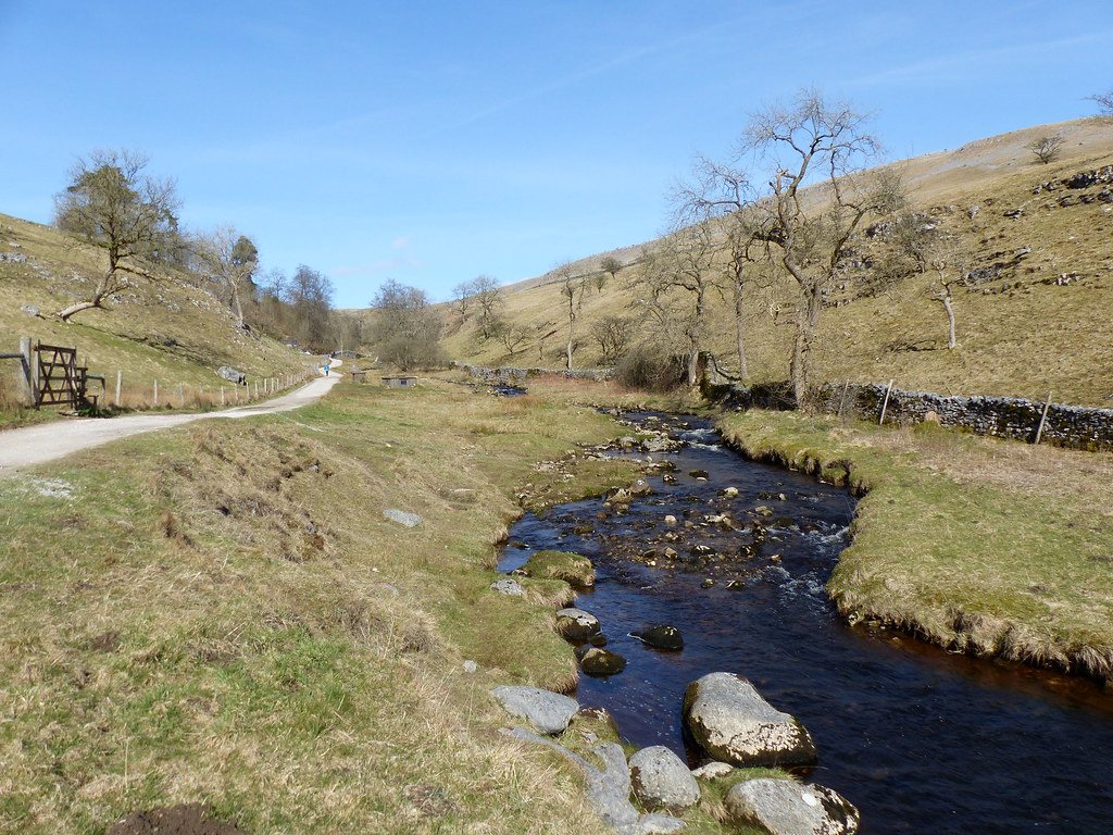
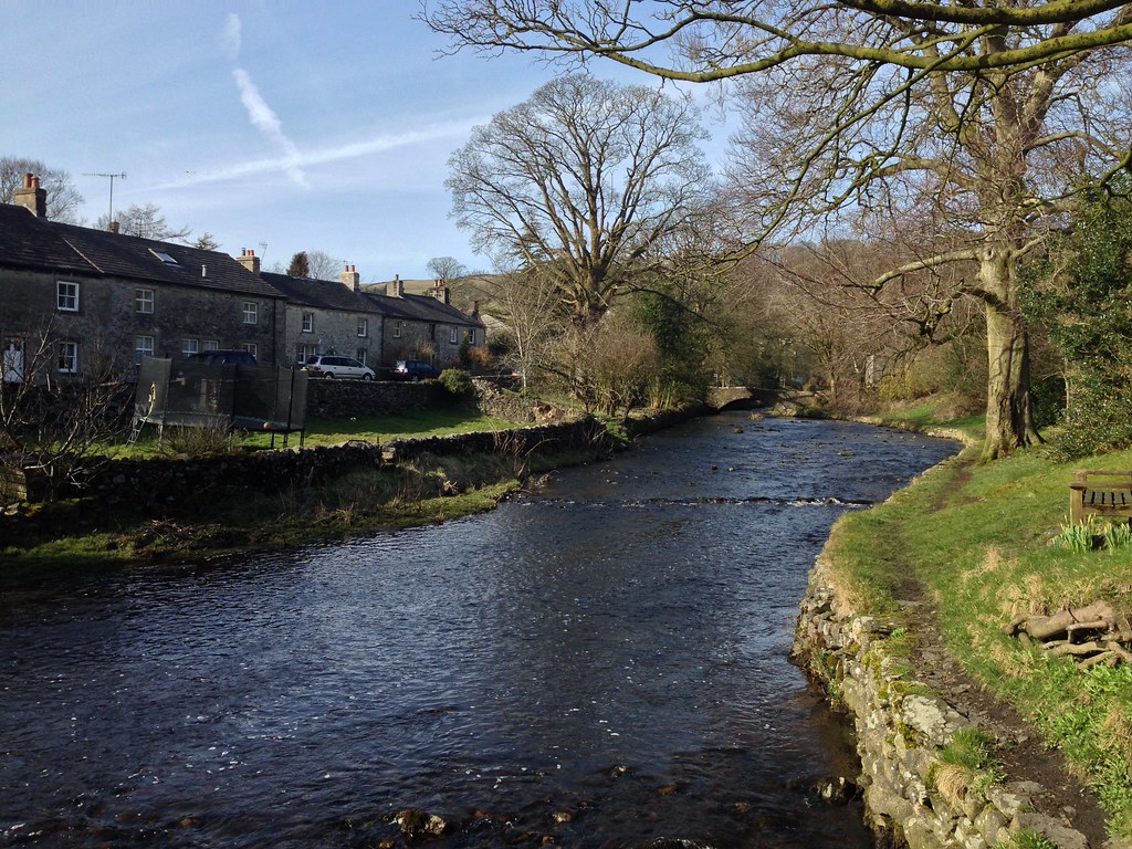
Clapham Beck.
Since I dropped into the shelter of Trow Gill it had been feeling much warmer, so in Clapdale Wood I stopped for one final cup of tea.
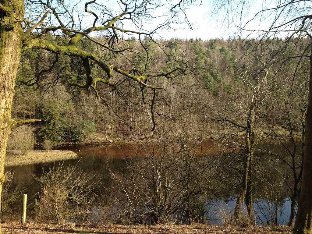
The Lake. Imaginatively named, don’t you think? And – it’s a reservoir.
Clapham Beck.
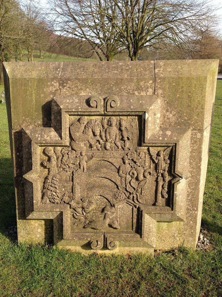
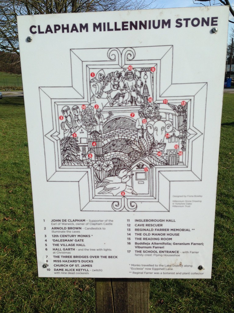
Scenes from Clapham…
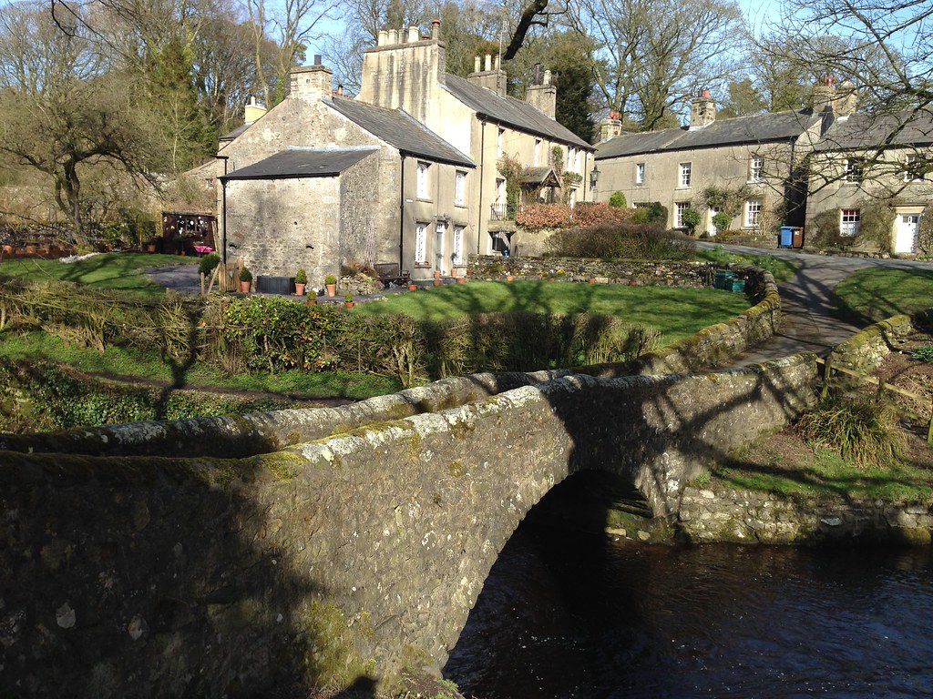
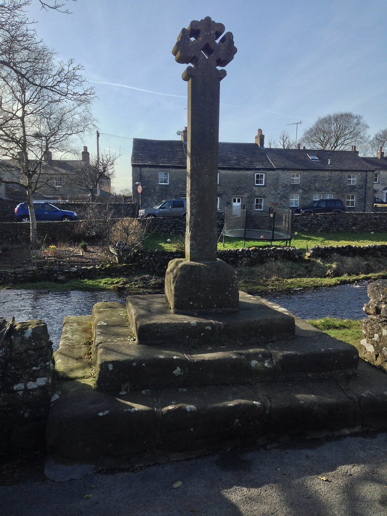
Market Cross.
In ‘Walks in Limestone Country’, Wainwright wrote:
Of the many walks described in this book, the ascent of Ingleborough from Clapham is pre-eminent, the finest of all, a classic. A lovely village….charming woodlands……..an enchanting valley……natural wonders………a climb to a grand mountain-top. Oh yes, this is the best.
I can’t help feeling that in amending my plan for the day I made a good choice. You might say that I played my cards right. Or that I was dealing from a full-deck.

What’s that? Which birthday was it? Haven’t you worked that out yet? Just to clear-up any ambiguity: I didn’t come across any humorous types on Ingleborough. No jokers, you might say. Which leaves?

My mapping app gives 13½ miles and just over 2000′ of climbing. Not a bad little outing.