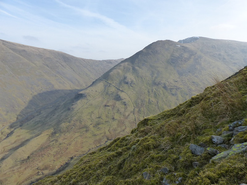
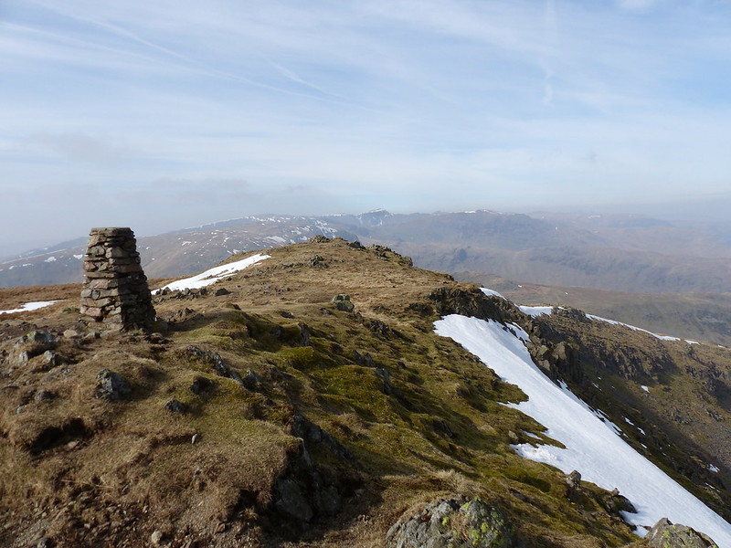
Caiston Beck and Middle Dodd.
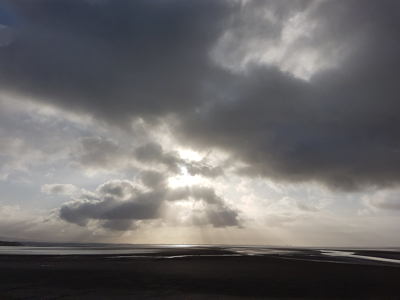
Ordinarily I’m very unimaginative when ordering photos for my posts – strictly chronological is my one fixed idea, but here’s an exception to prove the rule: this first view was taken near the end of my walk. I’d had the same panorama around 5 hours earlier, but then the sun was hanging directly above Middle Dodd and it seemed a bit pointless taking a photo which would probably have revealed not much more than a silhouette. Now I had a different problem – the sun had dropped behind the hills, leaching the colour from the scene.
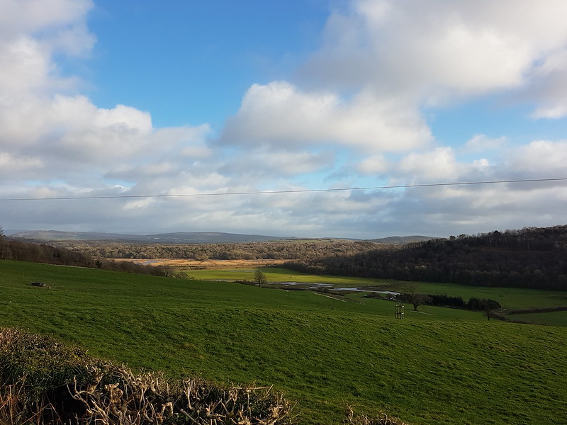
Now that I’ve begun back-to-front, lets continue the Memento – or Time’s Arrow, choose your own cultural reference – style approach: here’s a photo I took a little before the previous one, as I was descending the final steep nose from High Hartsop Dodd. I took it with the intention of showing the route of my earlier ascent, and just how unremittingly steep it had been.
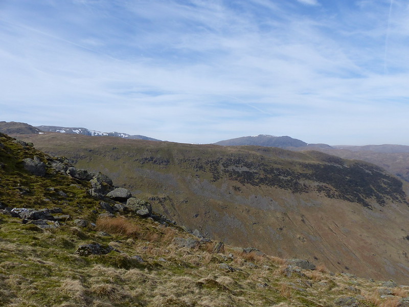
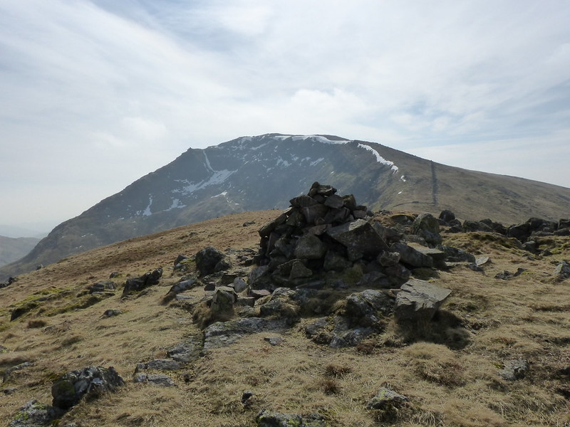
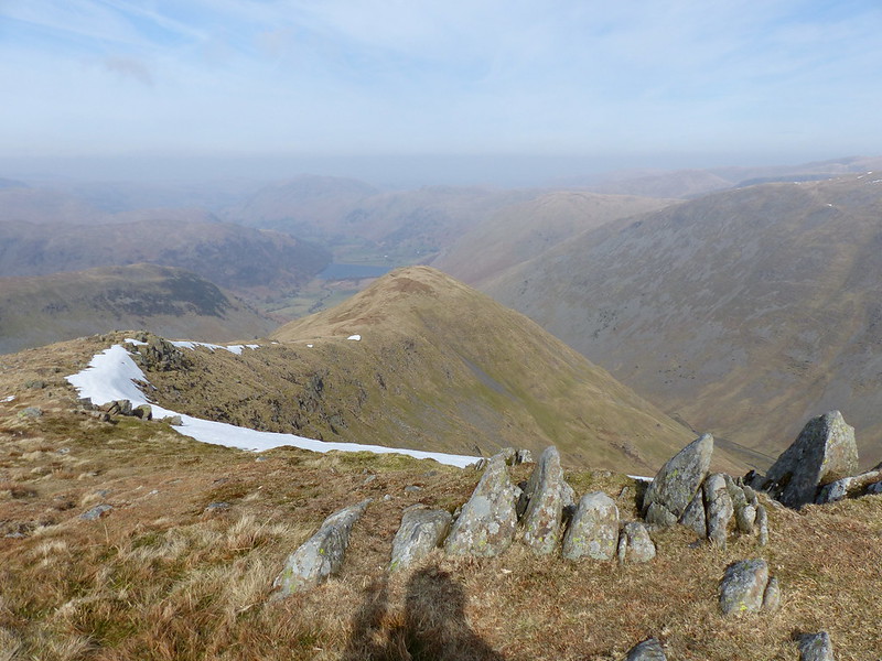
Middle Dodd and Red Screes.
When, after a long steady plod, I’d reached the top of that shoulder a walker beginning a descent by the same route greeted me with: ‘You’re a brave man – climbing all the way up that!’. I agreed that it had been hard-work, but added that these days my knees prefer steep ascents to steep descents. In fact, I don’t really mind steep climbs half as much as I used to; I think its because any illusions I might once have harboured that I can climb hills with any speed have long since been dispelled; in fact I have a modus operandi which I use on almost all slopes: I count steps.
Regular readers will be wondering why it is that I started late enough in the day for the sun to already be well above Middle Dodd, given my penchant for an Alpine start. The fact is, this was an unscheduled escape: B should have been playing rugby, in which case I would have been on the touchline cheering him on, but he’d come down with a heavy cold and decided that he wasn’t up to it, so I made a late decision to head for the hills when the opportunity beckoned.
In the past I’ve usually headed out with only a sketchy idea of where I intended to walk, or often with several embryonic plans coalescing, but the new responsible me leaves a carefully detailed route card with distances, estimated timings, possible escape routes, gradient profile etc etc…
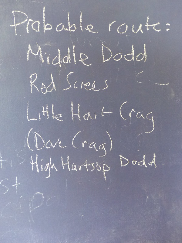
…well, it’s a start anyway. Dove Crag is in brackets because I knew that it was almost certainly a summit too far for me and I probably wouldn’t get there. I didn’t. I always seem to make over-ambitious plans, but I recognise that tendency and hedge my bets accordingly. (Yes – we have a chalkboard painted on to our kitchen wall – we’re both teachers, seems we just can’t quite leave the classroom even at home.)
So it was that I pulled into the layby close to the bottom of the Patterdale side of the Kirkstone Pass at well after eleven. I was quite surprised to find a space at that time, but there were several – probably a good indicator of the unpopularity of my chosen route of ascent. Another couple of walkers set-off just after me and we leap-frogged each other a few times as we enjoyed the burgeoning vistas gifted by the rapid rise from the valley.
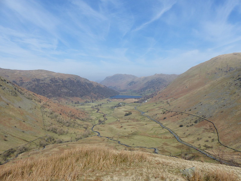
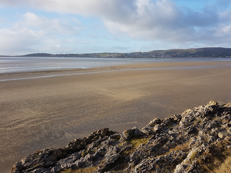
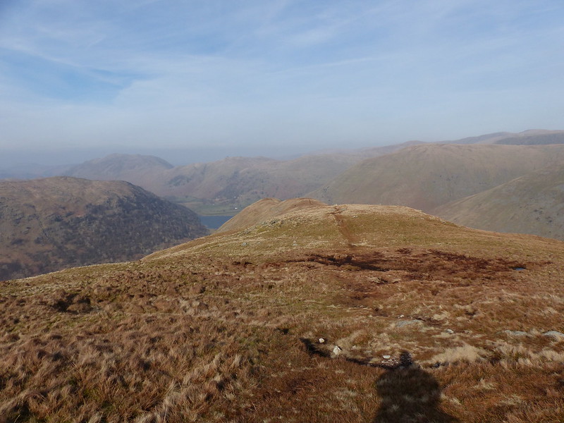
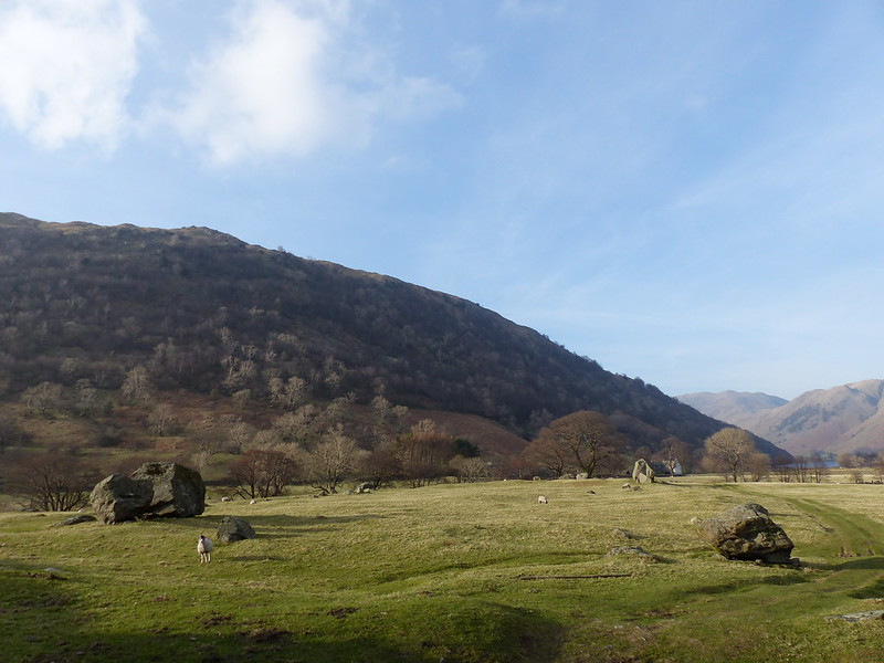
Brothers Water – Place Fell behind.
There were a few distractions to unsettle my metronomic plodding – a bitingly cold breeze, some hazy but wonderful views, and a great deal of hullabaloo from the slopes across the Caiston Glen.
The camera’s ‘superzoom’ lived up to its name and confirmed that the noise was just what it sounded like….
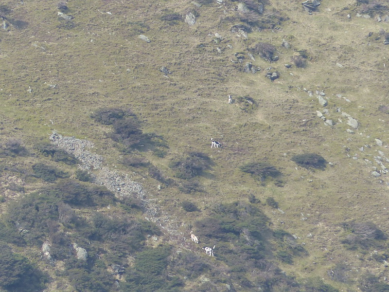
….huntsmen with hounds.
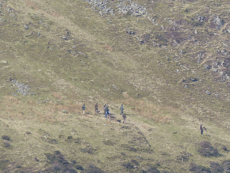
I have more photos, none of them show any faces however, or any foxes. Not, I suspect, that anybody in authority would be remotely interested in pursuing a prosecution – if of course this is what it looks like it is.
Step-counting: walk a hundred paces uphill. Take a breather if you need to. Do another hundred, then another. When you get to five hundred stop for a drink, or maybe sit down for a moment. These days I find the counting is enough in itself – I can judge my pace pretty well so that I rarely stop for that breather. I can remember very clearly the first time I used this approach: I was a sweltering June day and I was climbing Elidir Fawr from Nant Peris. I was with my Venture Scout unit – actually I was some way ahead of them and walking with two hill-walking friends of one of our leaders. We’d already climbed Snowdon via Crib Goch – a pretty arresting experience for us first-timers – and then taken what seemed at the time to be a suicidally steep route down into the valley. One of the grizzled veterans, I think he was called Geoff, took me in hand and got me to count steps. It got us on to Elidir Fawr eventually and ultimately over all of the Welsh Three-Thousand footers that day. Since then I’ve always used it for long steep slopes, but somewhere along the way the habit has become so ingrained that I find myself counting on every climb, often without consciously deciding to do so.
The reward for all that effort was the delightful ridge walk around to Red Screes. Counting wasn’t really necessary for that climb – but I counted anyway.
Dove Crag, Helvellyn and Saint Sunday Crag from Middle Dodd.
I suppose, when I think about it, I’ve always enjoyed counting. I am a mathematician after all. Children always want to count off the steps in any tall flight of stairs – I’m just recapturing that simple pleasure.
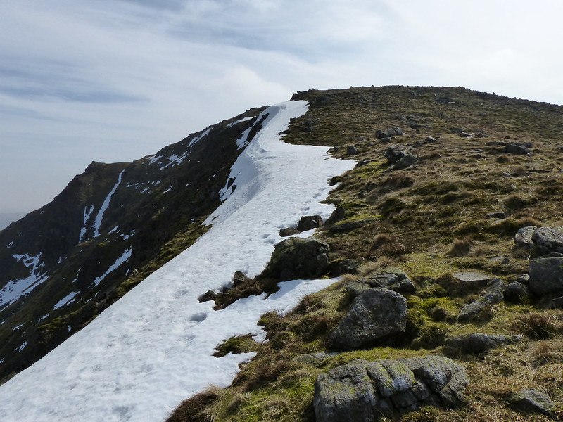
I like a shapely cornice too, even when it’s the last remnants of the winter’s snow…
Of course, I’m aware that the whole step-counting thing probably sounds a bit touched, or at least suggests that I might be a bit, well, shall we say vacant? To be honest, I think that the counting has become part of the experience for me – I find it restful. No less an authority than Leibnitz opined that…
Music is the pleasure the human mind experiences from counting without being aware that it is counting.
So maybe I’m leaving out the medium and mainlining the core experience. Maybe.
Anyway – by the time I reached the top of Red Screes I was ready for a lunch-stop, but the wind was too cold to stop in this exposed position
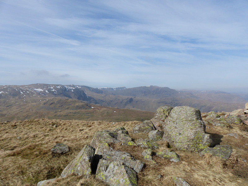
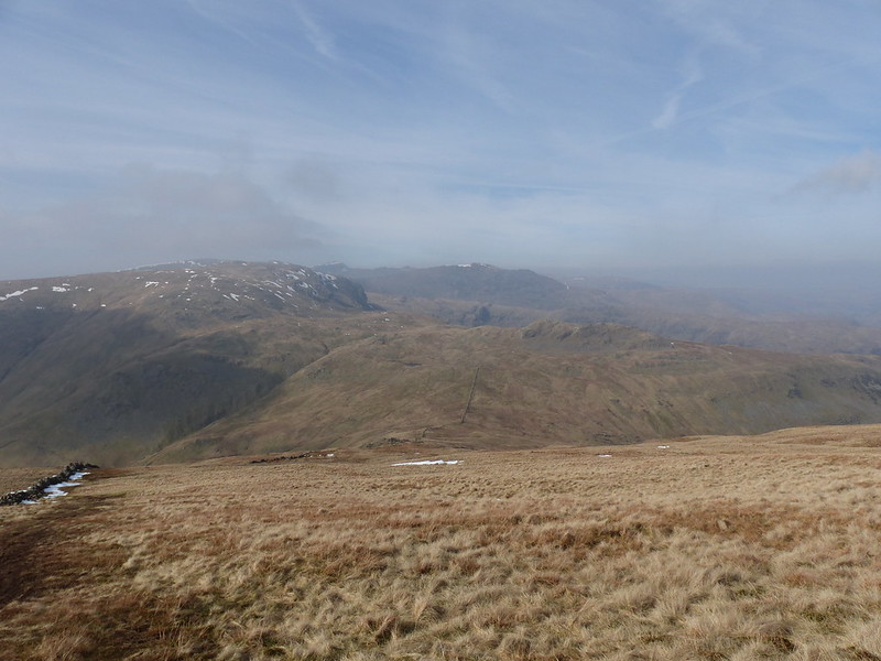
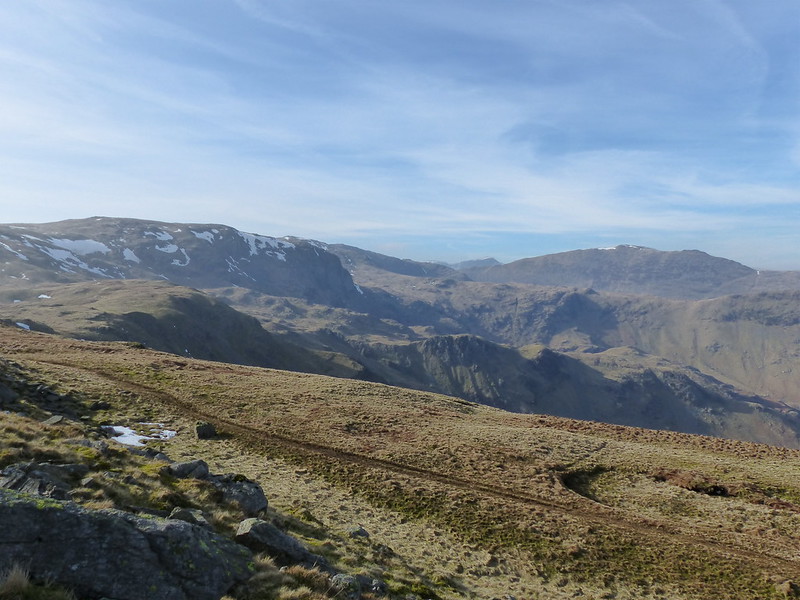
The views were getting increasingly hazy.
Middle Dodd from Red Screes.
So, after wandering around for a while on Red Screes’ extensive summit plateau, I took to the wide slopes which lead down to the top of the Scandale Pass, looking for a promising, sheltered spot to stop. Eventually I found a place to get out of the wind, enjoy a cup of tea and some lunch, and take in the view of the onward route over Little Hart Crag…
I know that I’m not alone in indulging in step-counting reveries. I have a little book called “The Long Road Turns to Joy: A Guide to Walking Meditation.” by the Buddhist monk Thich Nhat Hanh in which I’m sure he recommends counting steps (but also, if I remember right, counting breaths, or synchronising the two or something else which seemed far too complicated to me).
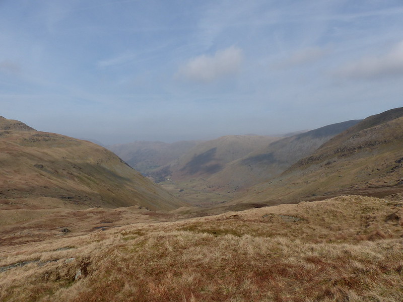
Looking down the Caiston Glen.
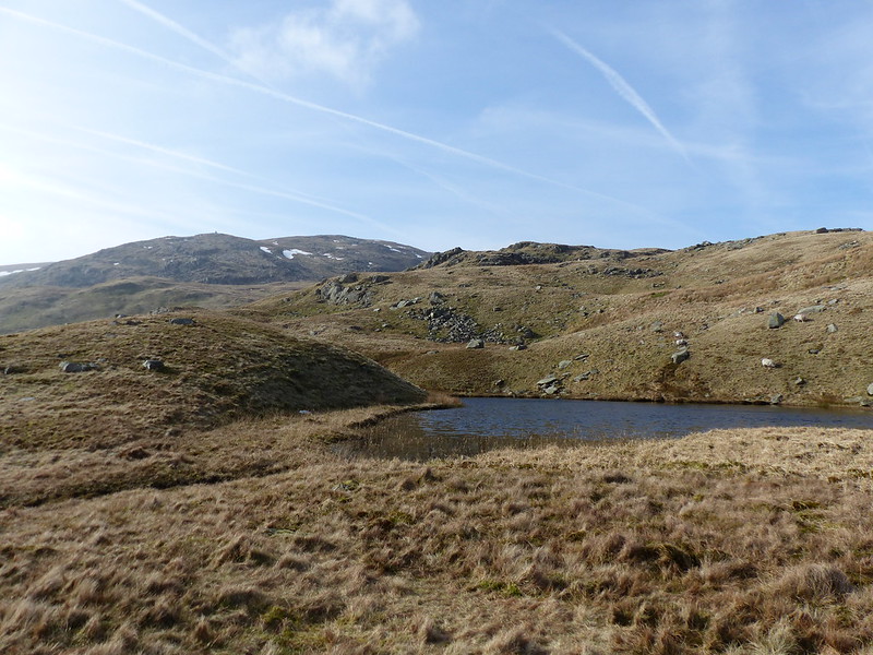
On the brief climb to Little Hart Crag I diverted ever so slightly to Scandale Tarn which struck me as a good potential spot for wild-camping.

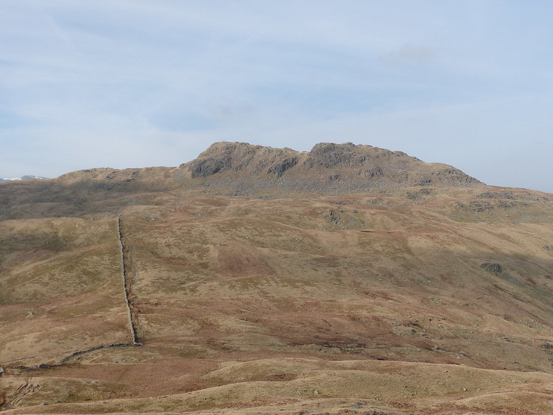
I’ve been over Little Hart Crag a number of times before, but usually on the way down from Dove Crag – which approach make Little Hart Crag seem like an afterthought and a bit insignificant, which is a shame, because it’s quite striking from this direction.
And it has great views of Dove Crag and its rather complex hinterlands…
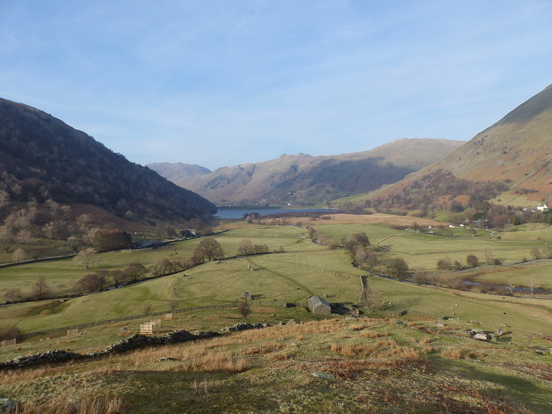
By contrast to the brutal ascent route, the descent from Little Hart Crag is by a nice long, gentle ridge down to High Hartsop Dodd…
Then the gradient increases again, and, as I descended, I realised that I was out of the wind, with a marvellous view…
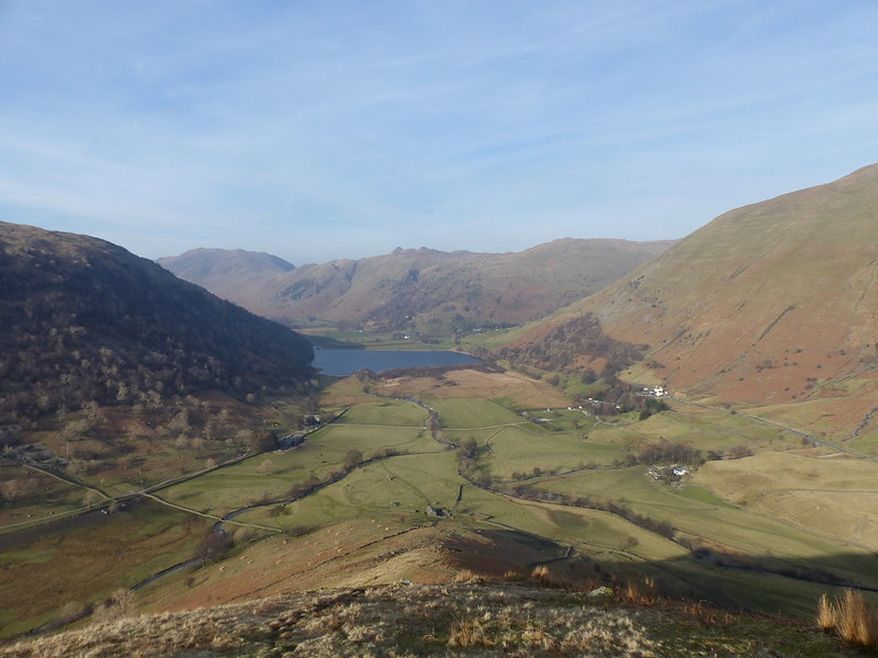
So I decided to stop and fire-up the pocket-rocket again.
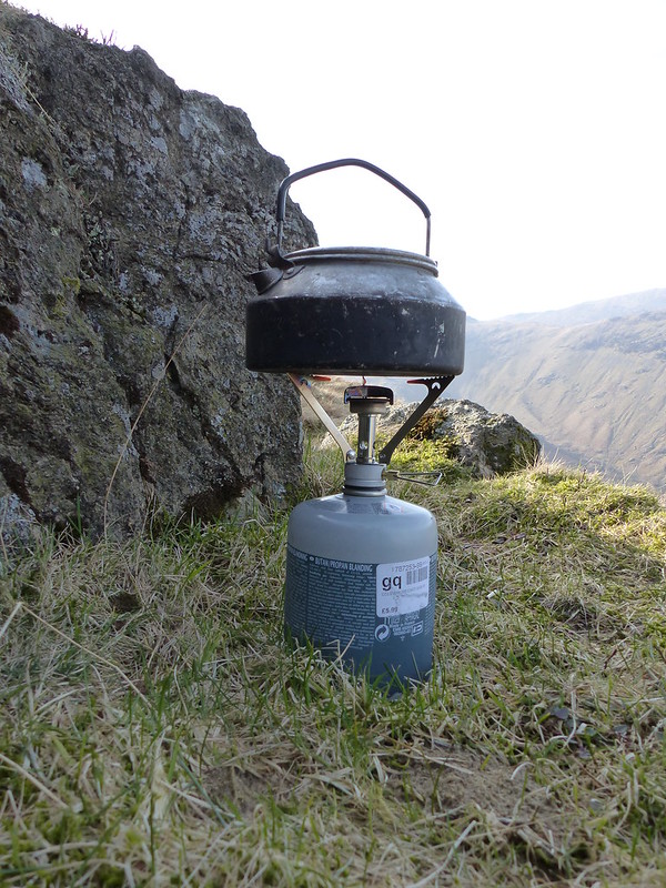
What beats a great view on a sunny afternoon in the Lakes?
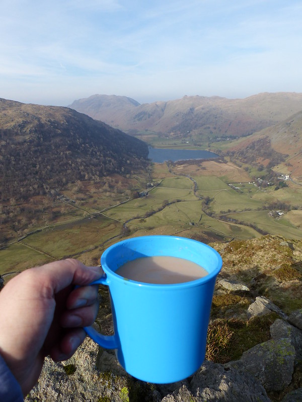
A great view on a sunny afternoon in the Lakes, with a freshly brewed cup a char!
On the final steeper section of descent I was speculating about the history of the ‘Settlement’ marked in Gothic letters at the base of the ridge on the OS 1:25000 map. The outline stands out quite clearly from above…
Well – perhaps if I zoom in a bit…
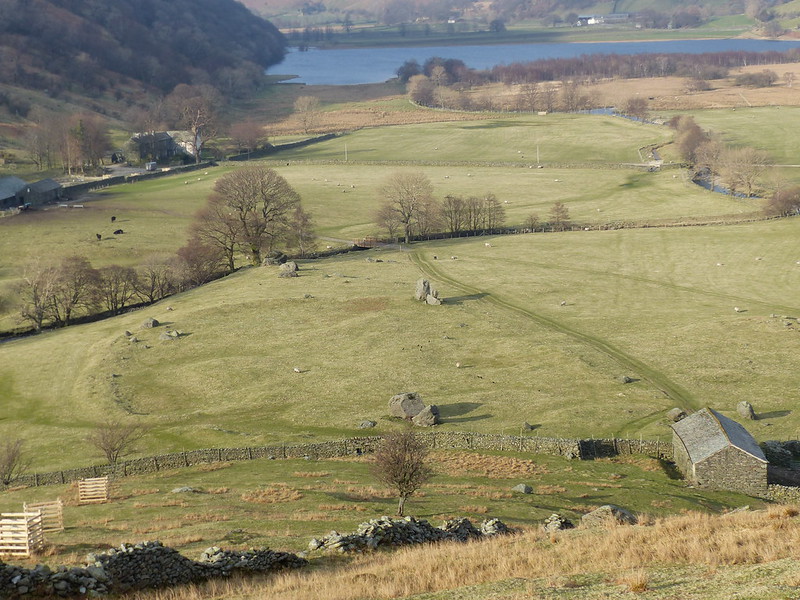
I was fascinated.
And convinced that a quick bit of lazy internet research would reveal chapter and verse about the plot and its former residents – but no: I unearthed this map…

…on the British History Online website (scroll down to 61 to read a description of the settlement), but no real details. Maybe it’s A Good Thing to have one or two mysteries out there however.
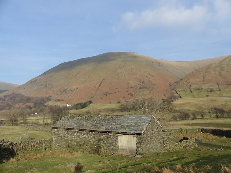
Hartsop Dodd (which is, of course, higher than High Hartsop Dodd – there’s another mystery!)