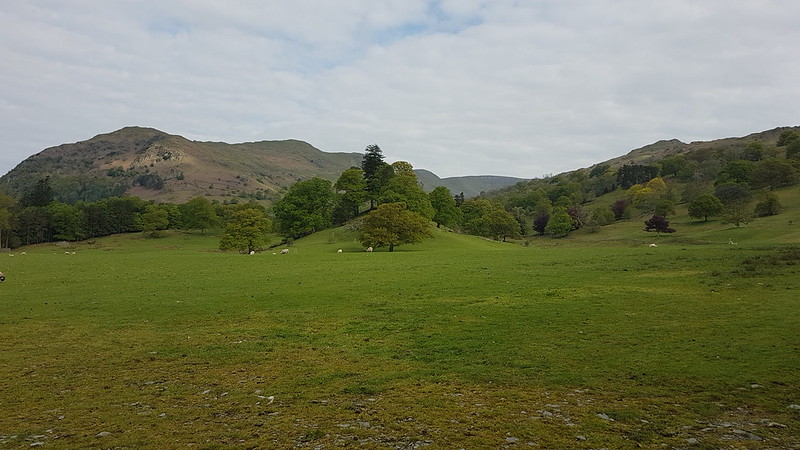
Much as I’m enjoying all of these peak-bagging days out in the Lakes, you may have noticed that I’m finding the write-ups a bit tricky. My local rambles often throw up something in the way of flora or fauna which I can waffle on about for a bit, but I’m finding it hard to know what to say about these box-ticking excursions without endlessly repeating myself.
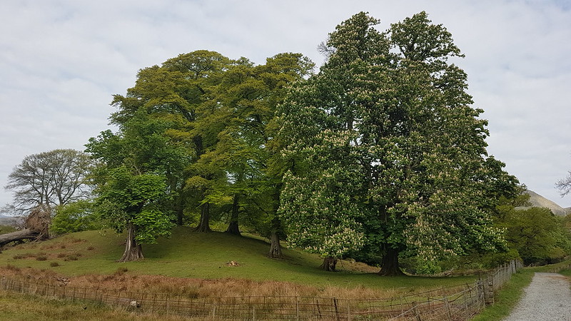
So, this rather lovely trot around the Fairfield Horseshoe is a good case in point. Let’s get the usual nonsense out of the way from the off….
Start: pretty early by my recent standards, but hardly Alpine.
Parking: free! Because even Ambleside has free parking, if you’re there reasonably early and you’re prepared to walk just a little bit further.
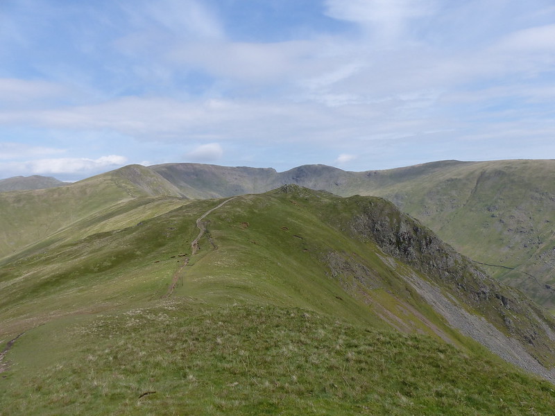
Weather: windy, obviously. Started bright and sunny, even got a bit warm climbing Nab Scar. Cloud came in from the South, so that when I was on Fairfield the sun was still shining on Helvellyn, but I wasn’t benefitting from that sunshine. Stayed cloudy for a while, then brightened up again towards the end of the walk.
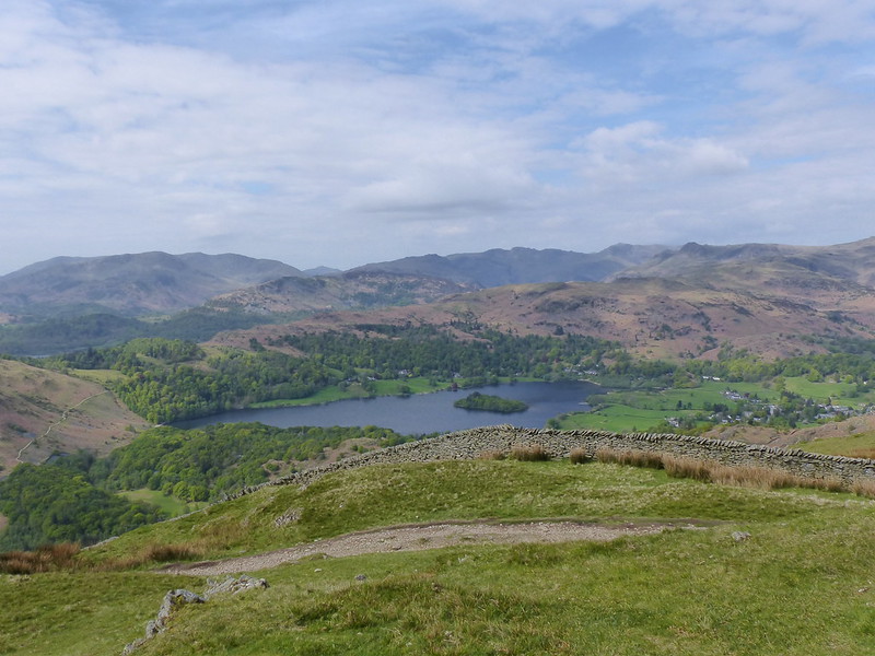
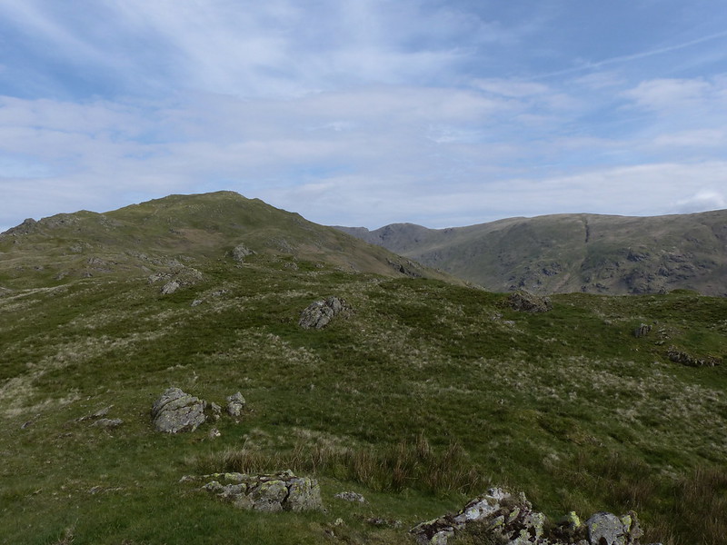
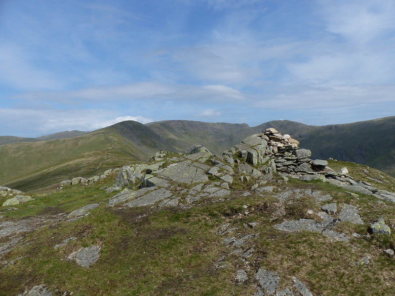
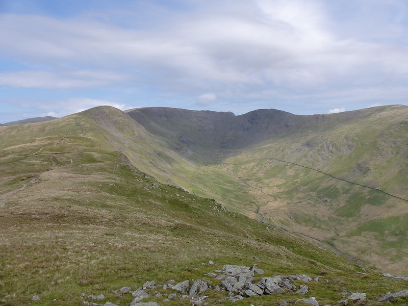
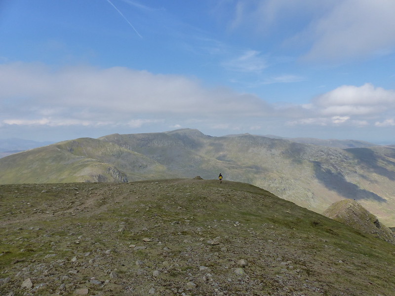
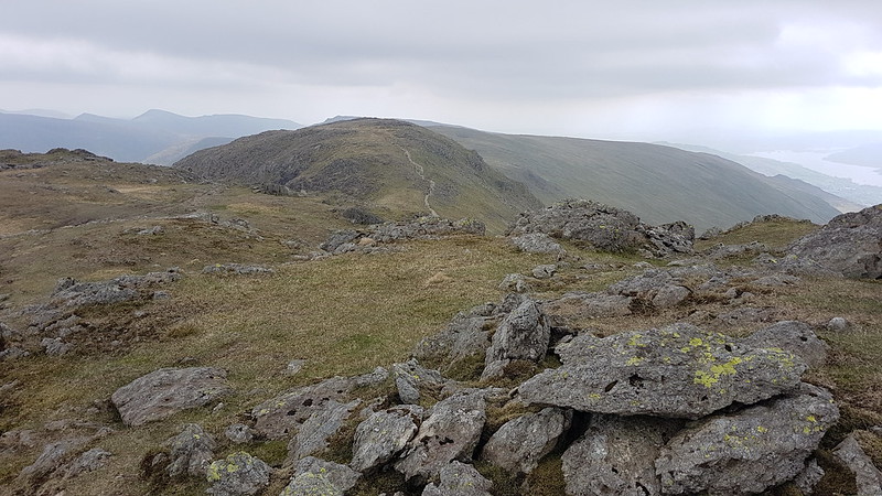
Stops: yes, I realise that I can be a bit obsessed with my hot cordial breaks. One of the ironies of this game is that the best bits of a day’s walking are often the bits when you aren’t walking. So: found a nice spot on Rydal Fell, looking up towards Great Rigg and Fairfield; then a not very sheltered, rocky perch on Fairfield which at least had good views; and then, just below the top of High Pike, a little hollow which had some protection from the wind, but also sun and a cracking view.
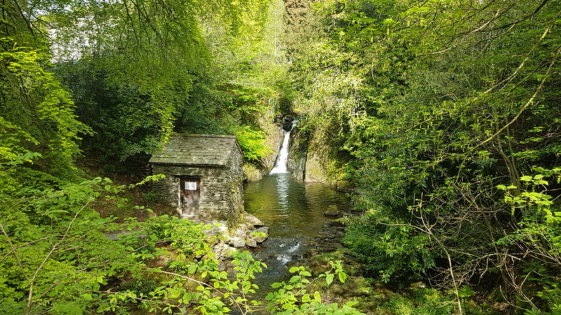
There are, of course, interesting things to be said about Rydal Hall, and its Thomas Mawson designed gardens, and The Grot. However, Rydal Hall has already featured in several posts, so I’d definitely be repeating myself.

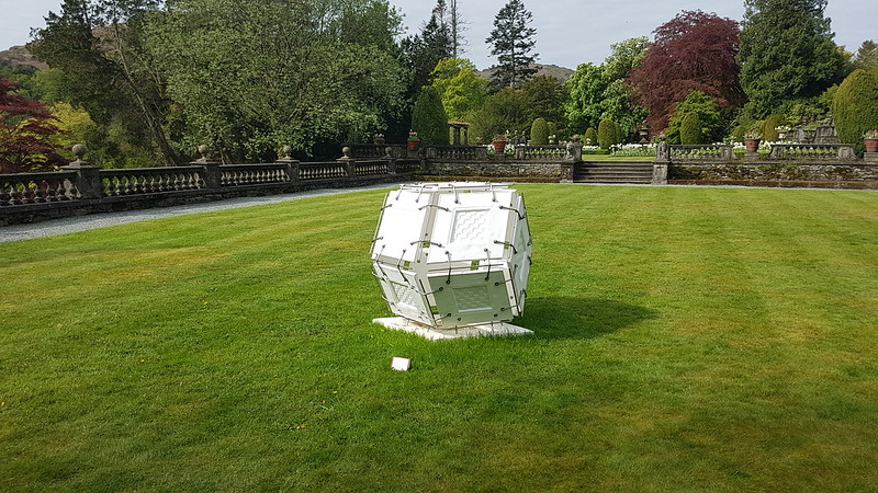
I suspect that there was lots of artwork dotted about the gardens and in the surrounding woods and if I hadn’t been in a hurry they would no doubt have given me lots more grist for my mill.

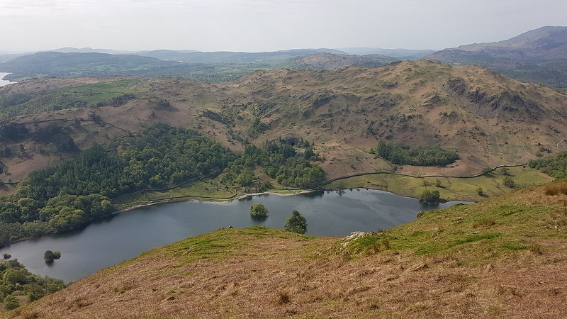
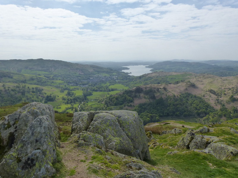
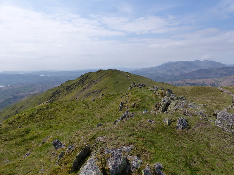
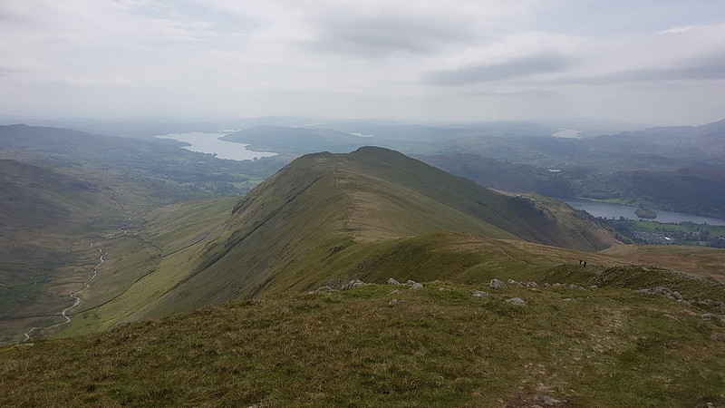
But I had the steep path on Nab Scar to climb, and I’m glad that I did, because as I climbed the views got progressively bigger and better.
I was talking to a colleague recently about, amongst other things, my recent spate of Wainwright related activity, and my currently-on-hold exploration of the Lune Catchment area and about the fact that the lack of a protracted warm spell had meant that I hadn’t been out swimming as yet this spring (I have since).
Which prompted N to tell me that this summer she plans to cycle between the Lakes, in a single trip over three days, and swim in each one. I was very taken with this idea, and have frequently found myself drawn back to thinking about the logistics of such a trip and about a potential walking route which would visit each of the lakes.
Now, I have a bit of a book buying habit, and books accrue in our house at a rate far exceeding my capacity to read them. This applies to quite a wide variety of books, but is particularly true of books about walking and especially so of books about walking in the Lake District. So, could I find, amongst all the neglected tomes, a book about a route which takes in all of the Lakes?
Of course I could. In fact, so far I’ve found two.
‘The Ancient Ways of Lakeland’ by Richard Sale and Arthur Lees, describes just such a route. It has the subtitle ‘A circular route for walkers’. Marvellous. Except it isn’t. It’s a circular route with little diversions, heading off to take in awkward outliers like Bassenthwaite Lake, Crummock Water, Loweswater, Grasmere and Rydal Water. And since the route is broken down into sections, each of which has an alternative return route, you could argue that it gives two different possible circuits around the Lakes.
Meanwhile Ronald Turnbull’s ‘Big Days in Lakeland’ has a chapter on a walk which visits some of the Lakes. He gets around the Bassenthwaite problem, by just omitting it. Likewise Brother’s Water (which isn’t on Sale and Lees route either). This being Ronald Turnbull (of ‘The Book of the Bivvy’ fame) there are some eccentricities. He has the brilliant idea of combining the walk with a trip on the Lake Steamers, wherever they are available. But then describes walking the route in February when the only boat running is the ferry across Windermere. His low-level route takes in Levers Hawse. And Coledale Hause. Oh, and Helvellyn and Striding Edge.
He’s made of sterner stuff than me. I’m not sure I could cope with winter bivvies. But I do like the look of his route (or substantial bits of it anyway). I’ve stored that idea away for future reference and shall probably enjoy thinking about it from time to time.
Of course, I’d want to devise my own route. I think I would want to include some of my favourite tarns too. Since you’re not supposed to swim in Thirlmere, you could substitute Harrop Tarn. Likewise Small Water for Haweswater. But what about Ennerdale Water?
I have a few of these ideas for long walks, or exploratory projects mentally filed away.
Of course, I haven’t finished the Wainwright’s yet, although I’m making good progress. (Just don’t mention the Western Fells). And I ran out of steam a bit with the Birketts. And the Lune Catchment project was doomed to failure from the off, since how can you possibly track down all of the rills and trickles which drain a water-shed?
But frankly, it’s the anticipation as much as anything which keeps my happy.
The worrying prospect with the Wainwrights is that sometime next year, or perhaps the year after, I will actually finish and then I shall be needing a fresh idea to give me impetus.

Turnbull suggests a slow version of bagging the Wainwrights: only counting the ones you’ve slept the night on. I’ve camped on Tarn Crag (the Longsleddale one) and on Black Combe (but that’s only an Outlying Fell). I bivvied on Bowfell, with Andy, many, many moons ago. And, more recently, on Skiddaw and on Latrigg. (The latter so recently that it hasn’t appeared on the blog yet. Next post I think.)

So, on that basis, four down and two hundred and ten to go. Might take me a while!
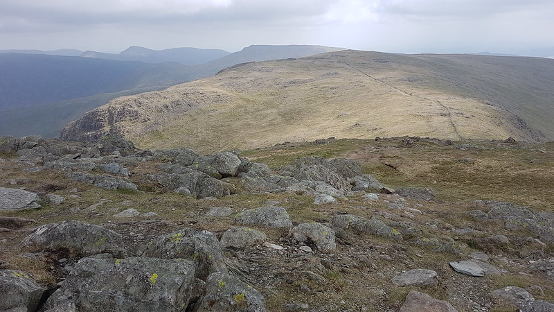
Then there’s all the Tarns to bag – using either the Nuttall’s excellent guides or the venerable Heaton Cooper one. Or both. Could make that a slow affair too by swimming in each of them before it counts.
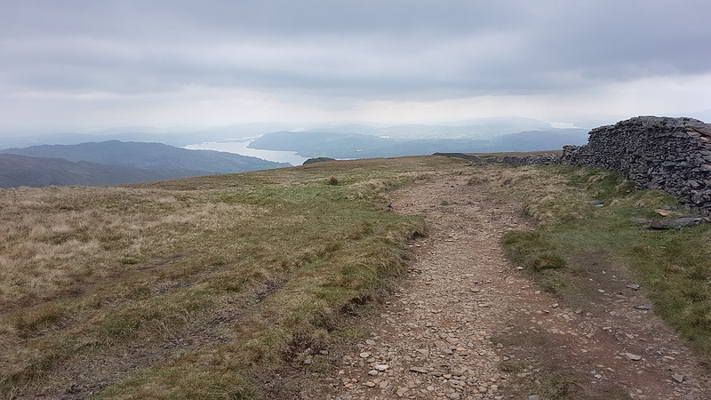
So, plenty still to go at. A cheery thought!
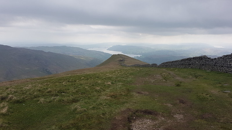
In the meantime, I shall continue to enjoy the straightforward version of just visiting each of the Wainwrights, without any stipulation about sleeping on, parascending from, skiing on a single ski down, taking a geological sample of….each summit.


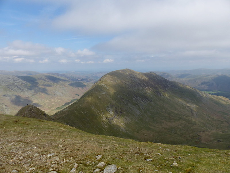
One part of that process which I’m really enjoying is seeing fells from several different directions in relatively quick succession: “Oh look – there’s Little Hart Crag again. I was near there just a couple of weeks ago.” In the past, when I’ve been in the southern Lakes at least, I’ve been on the lookout for views of Arnside Knott or Clougha Pike. Now, I’m keen to find Lingmoor, or Grasmoor, or Harrison Stickle, or Helm Crag etc in the view because I was on that summit only recently.
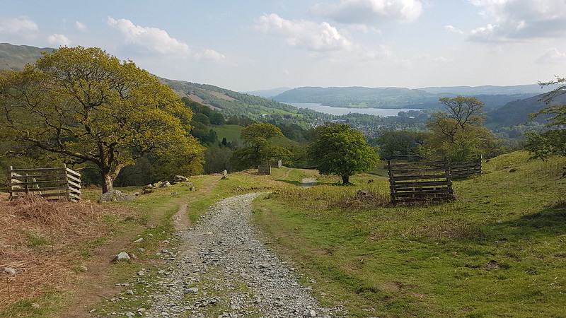
Oh, and the Fairfield Horseshoe? Highly enjoyable.

So, finally, some hike stats: MapMyWalk gives 11 miles and 960m of ascent. However, you can see from the straight line most of the way down from High Pike, that I forgot to restart the app after pausing it for a stop. Last time out it gave 14 miles and 957m of ascent. Can’t fault the consistency where the ascent is concerned! That last trip was in very different conditions, and I walked it widdershins, anti-clockwise, whereas I tackled it in the opposite direction this time.
Wainwrights: Nab Scar, Great Rigg, Fairfield, Hart Crag, Dove Crag, High Pike, Low Pike.
Birketts: the same with the addition of Rydal Fell.


