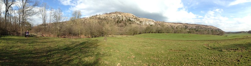
Whitbarrow before the Heavens Opened

PXL_20230910_091049428
Ascending through the woods onto Whitbarrow.

TBH recently declared herself to be ‘fed up with Whitbarrow’. I suppose we have climbed it quite a few times in recent years, but I’m struggling to imagine getting tired of that prospect.

PXL_20230910_093218476
Foulshaw Moss, The River Kent and Arnside Knott from the south-western tip of Whitbarrow.

On the Sunday after our TMTCH gig, we needed something reasonably local and reasonably short because the forecast suggested that things were going to get very wet later in the day. They did.

PXL_20230910_093245148
A bit of a sit and a chinwag.

Whitbarrow, then was ideal on both counts.

PXL_20230910_095809305
Gummer How, the Lakeland Fells and Lord’s Seat.

Early sunshine soon gave way to much greyer, gloomy skies.

PXL_20230910_102856112
J and MM by the large cairn on Lord’s Seat.
PXL_20230910_103902704
A view of the Forest of Bowland Fells, Warton Crag, Arnside Knott and the Kent Estuary.

By the time we were off the hill by Witherslack Hall there were a few drops of moisture in the air.

PXL_20230910_110200897
Chapel Head Scar.
PXL_20230910_110214325
Approaching Witherslack Hall.
PXL_20230910_111953140
Curious looking cloud over the woods on Yewbarrow.

We almost made it back, but somewhere around Beck Head it began to absolutely chuck it down.

PXL_20230910_115041633
A road turned into a stream.

Not to worry, we’d got out again, and had a fabulous weekend together.

We didn’t walk along the A590. Must have forgotten to pause the app.
Whitbarrow before the Heavens Opened

A Whitbarrow Wander

20230218_115445
Barn at Low Fell End.

Still February half-term here on the blog. I think this must have been the final Saturday. It was overcast and there was a cold wind blowing, but TBH and I were itching to get out for a stroll. The low limestone hills on the far side of the Kent from home have long been a favourite poor-weather option, particularly Whitbarrow Scar.

20230218_122056
Looking across the Kent Estuary to Warton Crag and Arnside Knott.
20230218_124151
Farrer’s Allotment.

Once we were up on the plateau, having climbed through Buckhouse Wood, we were on the lookout for a sheltered spot for lunch. In the event, we found an ideal spot below a low crag and the sun even tried to make an appearance. Briefly, it was really quite nice.

20230218_132241
A Drone Fly investigates my water bottle.
20230218_133512
Scout Scar, Benson Knott behind and…other hills lost in the gloom.
20230218_133516
Across the Winster Valley: Cartmel Fell, Gummer How and Birch Fell.
20230218_133518
Approaching Lord’s Seat.
20230218_133524
Looking back to Arnside Knott and the Kent. Meathop Fell to the right of the Knott and Yewbarrow the wooded hump right of that.
20230218_133529
Looking to Farleton Fell. Again, bigger hills hidden by the clouds.
20230218_133909
By the substantial cairn on Lord’s Seat.
20230218_134107
Arnside Knott, Meathop Fell, Yewbarrow, Cartmel Fell.
20230218_134626
Heading towards the (steep) descent path.
20230218_142038
In High Crag Wood. Or possibly Low Crag Wood.

Once we’d descended to the football pitch at the edge of the woods, which presumably belongs to the school at Witherslack Hall, I remembered the permission path through High and Low Crag Woods. It’s not marked on the OS map as such, and although I have been this way before, I keep forgetting that the path is here, so we have often used a more roundabout route.

20230218_143644
Stream crossing!

The limestone bedding planes of Whitbarrow sit on top of a layer of a different rock, Silurian Slate if I remember correctly. Water permeates through the porous limestone but is then forced back to the surface as springs in the wood. The path wasn’t particularly wet and muddy, but there were a number of small streams to splosh through.

20230218_145332
Beck Head resurgence.

There’s a much bigger resurgence at Beck Head, near the end of our walk.

A Whitbarrow Wander

A Walk from Bowland Bridge

20210424_151057
Across the Winster Valley to Whitbarrow Scar.

A hot Saturday afternoon, towards the end of April. TBH and I escaped for a short stroll around the Winster valley.

20210424_162700
Eastern Fells from Raven’s Barrow.

Raven’s Barrow isn’t really a summit, just a bump on the edge of sprawling Cartmel Fell, but it has a huge cairn (with a seat built into it) and superb, panoramic views. We found a place to get out of the wind and sat for quite some time. With a brew, of course.

20210424_162645
Whitbarrow from Raven’s Barrow.
20210424_154905
Looking South from Raven’s Barrow.
20210424_154905
With annotations – what do you think?
20210424_164316
Hmmmm – not sure that I agree.

I like the idea of footpath signs with a quote. I always like to know where quotes originate, but couldn’t track this one down. I did find this…

“I will not follow where the path may lead, but I will go where there is no path, and I will leave a trail.”

…which seems to be often wrongly attributed to Emerson, but is actually the work of Muriel Strode, ‘the female Walt Whitman’, who I think may repay further investigation.

20210424_164735
St. Anthony’s Church.
20210424_165924
Whitbarrow Scar again.
20210424_170312
River Winster – looking South.
20210424_170315
River Winster – looking north.
20210424_170806
Raven’s Barrow from the edge of Colehowe Wood.
20210424_171640
Cowclose Wood.
20210424_171543
Cowclose Wood bluebells.
20210424_172319
Nearing the top of Cowclose Wood.

The bluebells in Cowclose Wood were fantastic. I’m afraid, as usual, my photos don’t begin to do them justice.

20210424_172516
Pool Bank.

Pool Bank is a tiny hamlet, full of charming old buildings.

20210424_172645
Fox’s Pulpit Pool Bank – another place where the Quaker founder preached in the open.
20210424_173019
Descending towards Coppy Beck accompanied by Blackthorn blossom.
20210424_173929
Cowmire Hall and the northern end of Whitbarrow Scar.
20210424_181050
The Hare and Hounds – back in Bowland Bridge.

I think the battery on my phone died at Pool Bank. From there we followed the path through Broomer Dale to near Lobby Bridge, then another path to Scale Hill, then back along the minor lane we had started on.

A Walk from Bowland Bridge

Fine WX on Whitbarrow

P1240528

Green Hairstreak.

My first Green Hairstreak and, therefore, very exciting for me, I can tell you. In fact, my first Hairstreak of any description. As is the way of these thing, I saw a few more that day and then another closer to home in Eaves Wood a couple of days later. Just before we saw this, we also saw a butterfly or a moth which, unfortunately, I didn’t get a decent photo of. It looked, in terms of the general shape, like a butterfly; had brown forewings with a little dash of white and orange hindwings with a chocolate brown crescent on each. The latter is very characteristic of the many yellow underwing moth species, but I can’t find one that fits otherwise, and, like I say, it really looked more like a butterfly. I think it’s destined to remain a mystery.

The occasion was an ascent of Whitbarrow with our friend BB and three of his kids. Here he is…

image

…on the excellent path which climbs the southern end of the escarpment.

When we reached the higher ground we settled in this sheltered spot which also has excellent views.

P1240537

BB had brought his portable radio kit with him and wanted to get on the airwaves and play with that. Equally, I’d brought my Bushbuddy stove and wanted to play with that…

P1240536

I don’t use it all that often and was reminded of one reason why that is, as it took an age to bring a small kettle of water to the boil for a brew.

P1240539

The view along the edge towards Gummer How.

P1240542

Ingleborough and Farleton Fell seen over a broad meander in the Kent.

P1240543

Whitbarrow is a limestone plateau and it’s a fair walk to the top at Lord’s Seat.

P1240547

It was lovely walking, but windy, and we soon had to put several layers back on. The contrast in the temperature compared to our sheltered lunch spot was amazing.

P1240550

Lord’s Seat.

P1240551

Scout Scar with the Howgills in the background.

P1240552

The Kent, Morecambe Bay and Arnside Knott.

P1240553

Arnside Knott again.

P1240556

P1240561

Green Tiger Beetle.

P1240565

All the routes down the western side of Whitbarrow are steep, the route we took being no exception.

P1240567

Gummer How.

P1240568

The edges from near Witherslack Hall.

P1240569

Whitbarrow has appeared on the blog many times now. It seems to have become my go-to choice for a walk with friends. Perhaps because I feel like it deserves to be better known. On this occasion, it was actually BB’s suggestion. He has fond memories of climbing it when he was a boy.

Oh, WX, by the way, is amateur radio shorthand for weather.

And that’s 73 from me. (I’ll let you look that one up).


Fine WX on Whitbarrow

A Good Friday on Whitbarrow

image

Chapel Head Scar.

The best-laid schemes o’ mice an’ men
Gang aft agley,
An’ lea’e us nought but grief an’ pain,
For promis’d joy!

Robert Burns from  To a Mouse

Poor old Rabbie Burns obviously didn’t have a Plan B. Last year we decided that we would climb the three national highest peaks – Ben Nevis, Snowdon and Scafell Pike. We had a great day on the latter, but any plans we had for the other two went agley.
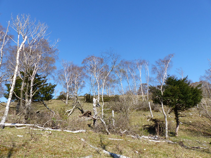
image

Farrer’s Allotment.

When Andy got wind of our plans he was keen to gatecrash them, which, of course, he was more than welcome to do. And so we hatched a scheme to head up to Lochaber this Easter to add The Ben to our tally. However, we were concerned about camping over such an early Easter weekend, especially when forecasters started to mention a further return of the Beast from the East.

image

So, a back-up plan was needed. We decided that, if the forecast didn’t considerably improve, then the Surfnslide crew would head up to ours for the Bank Holiday weekend instead.

image

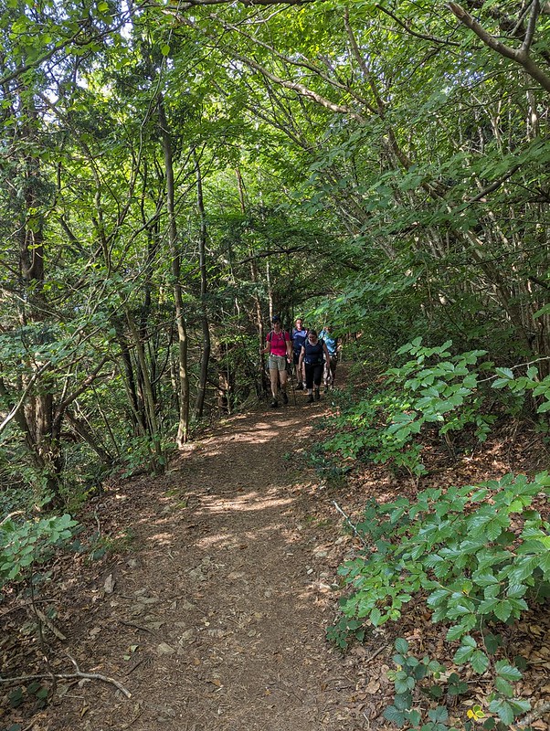
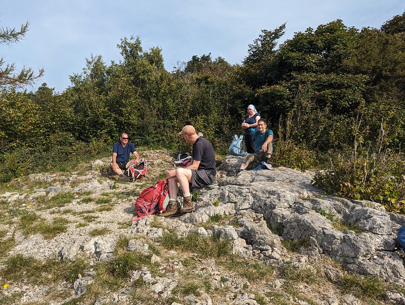
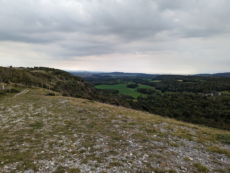
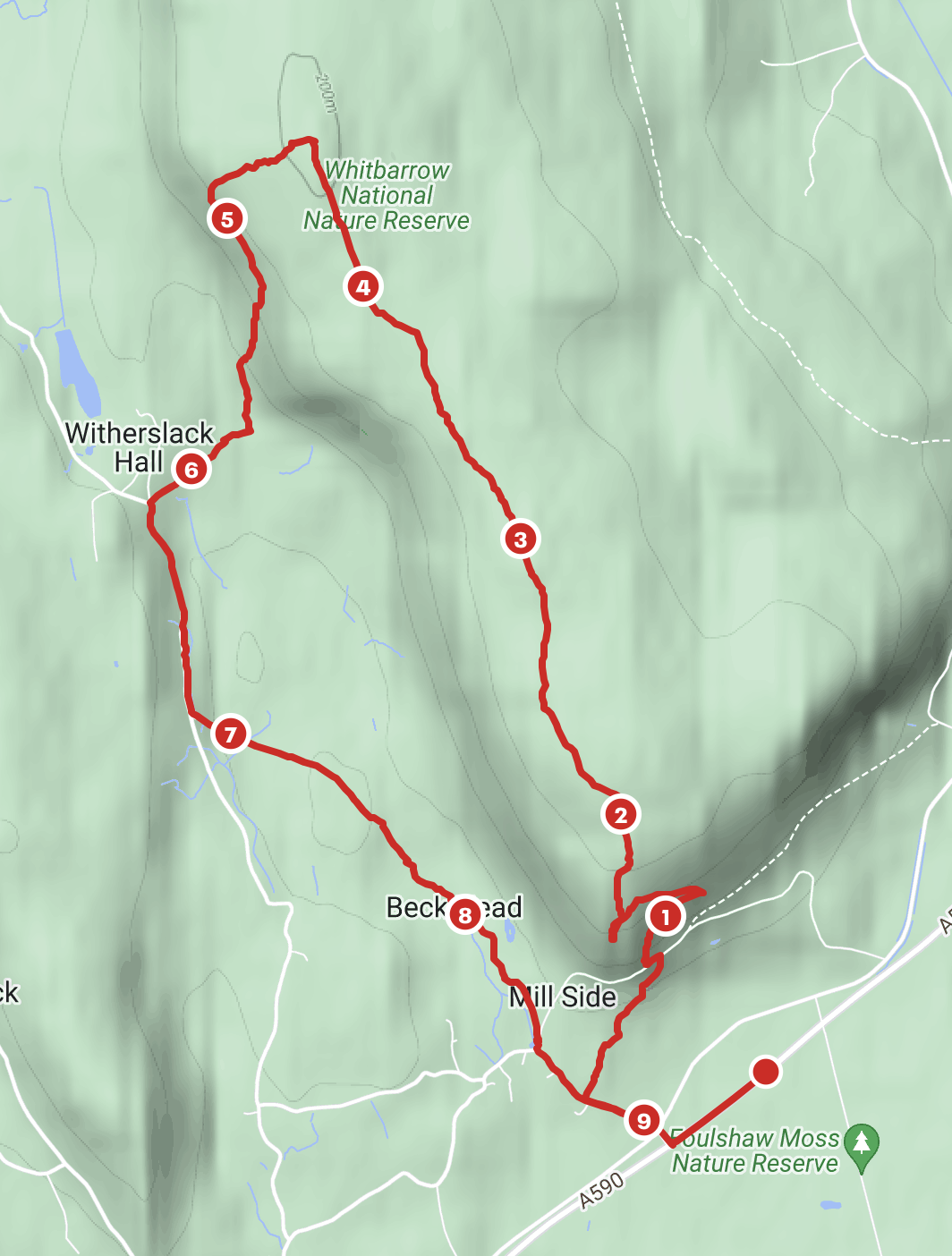
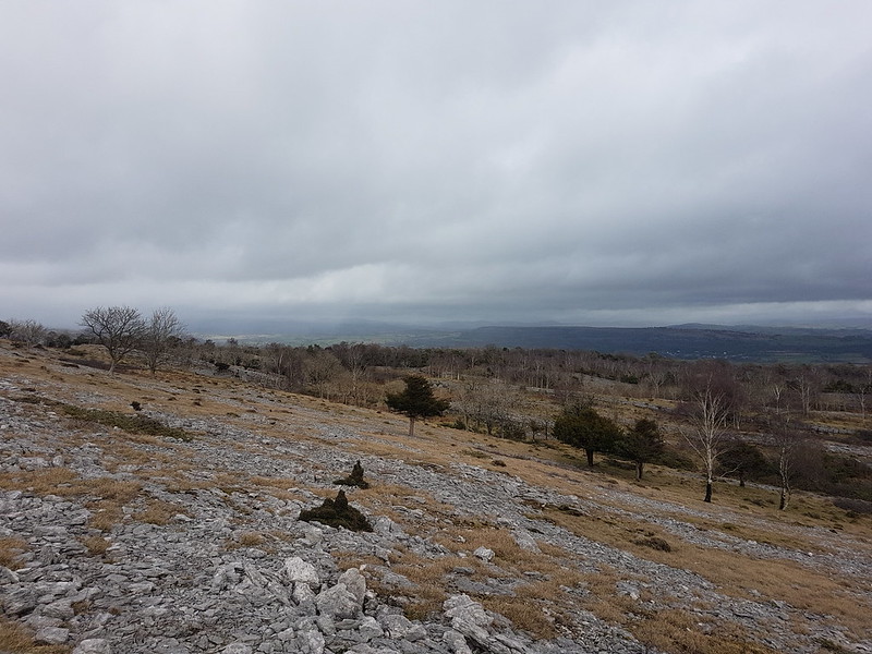
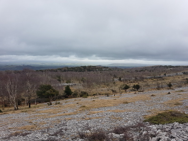
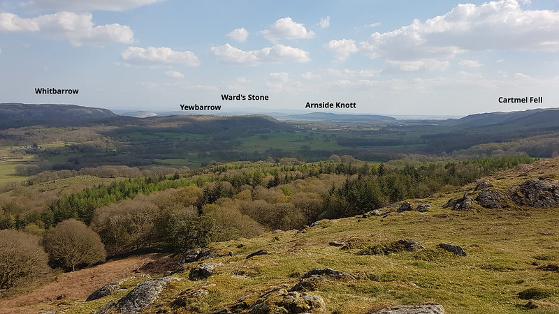
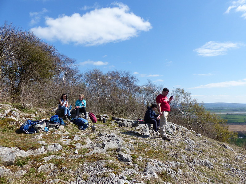
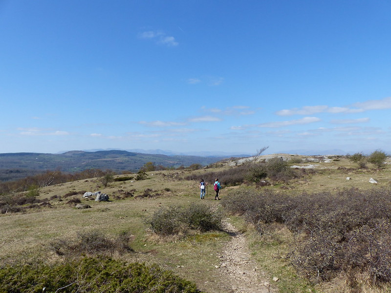
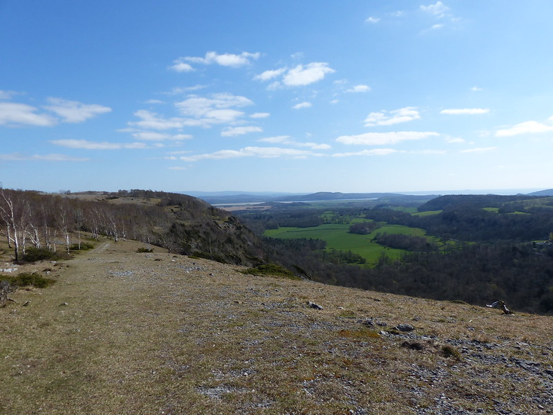
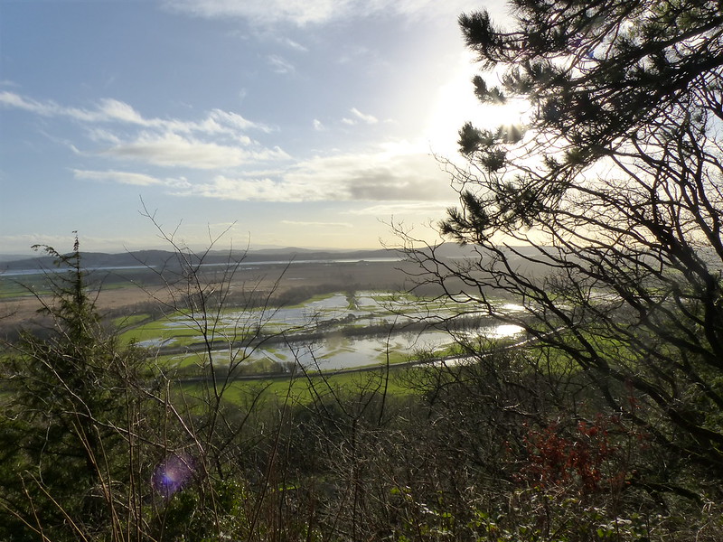
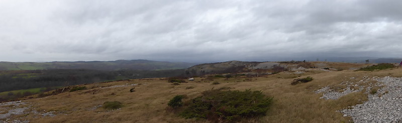
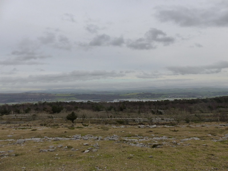
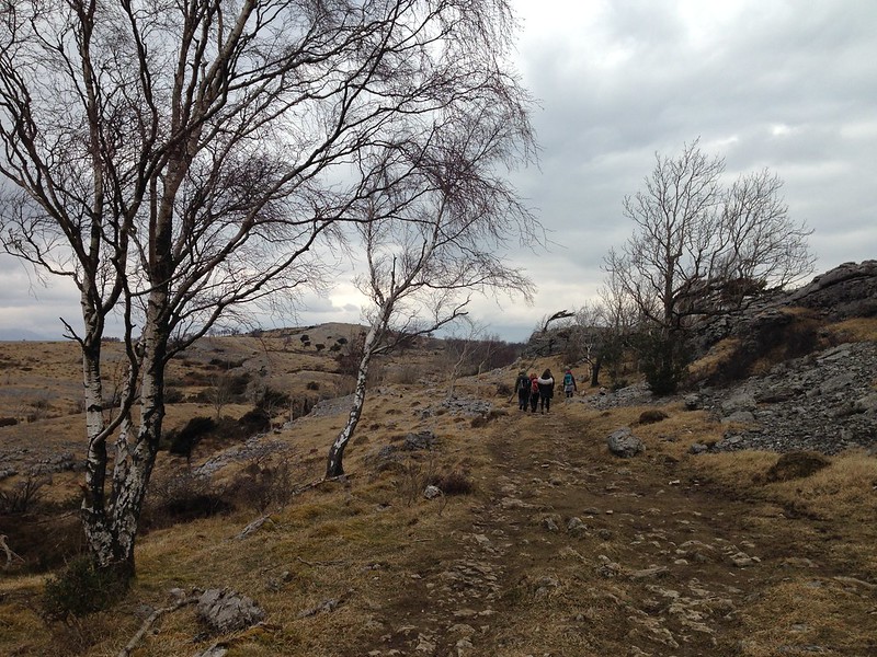
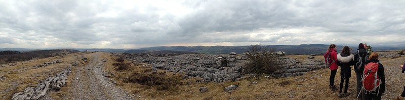
Thus it was that we parked on the old road parallel to the A590 close to Beck Head and then climbed through the steep woodland of Buckhouse Wood in a light rain. We hadn’t left the house very early (something of a theme when it comes to family outings, I know), so when we reached the plateau and the rain finally knocked off, we found a spot with an expansive, if somewhat gloomy, view for a brew and some lunch.

image

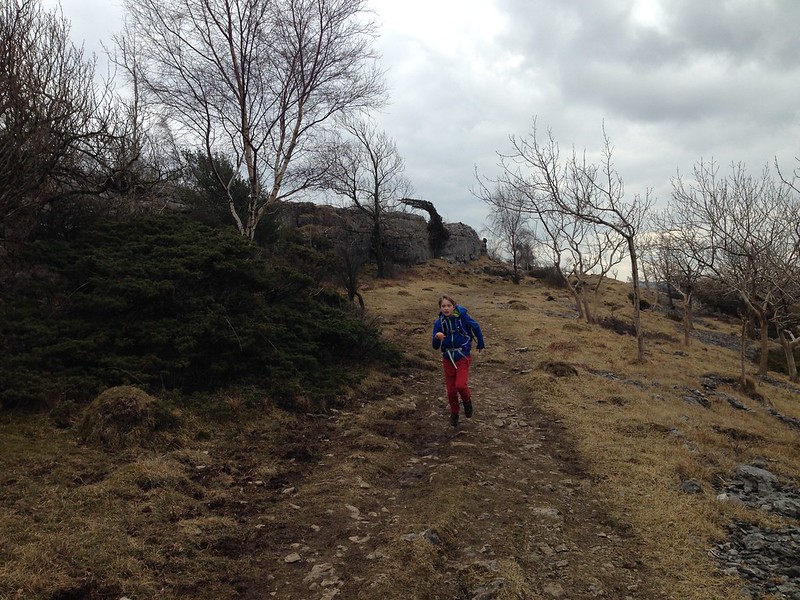
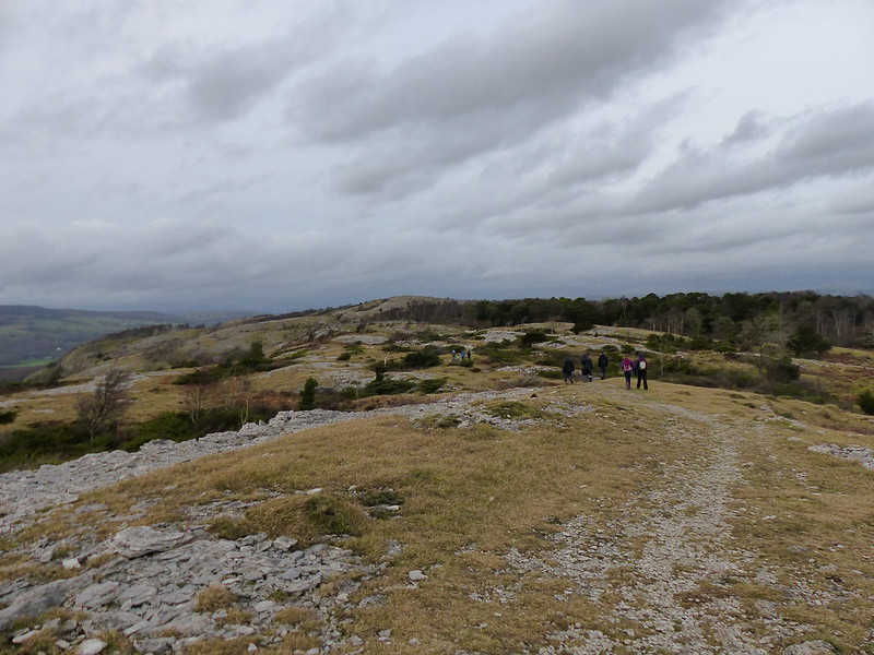
As ever, once out of the house, the DBs forgot to resent having been dragged away from their computer games and raced around looking for small crags to scale, of which there were plenty.

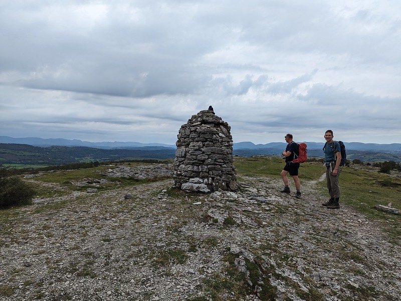
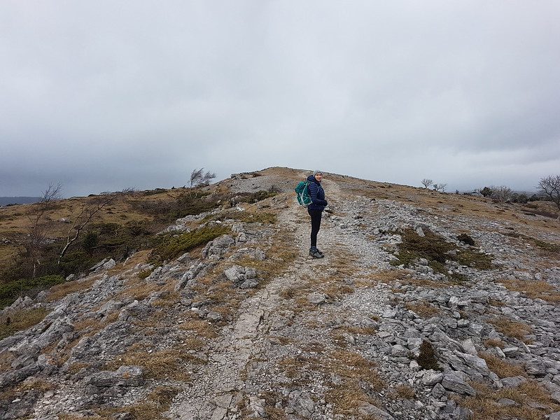
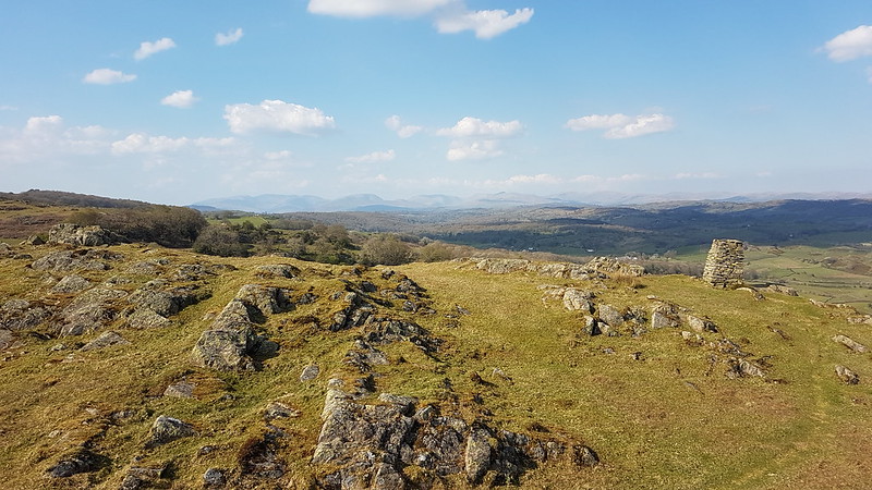
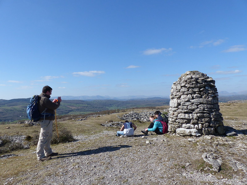
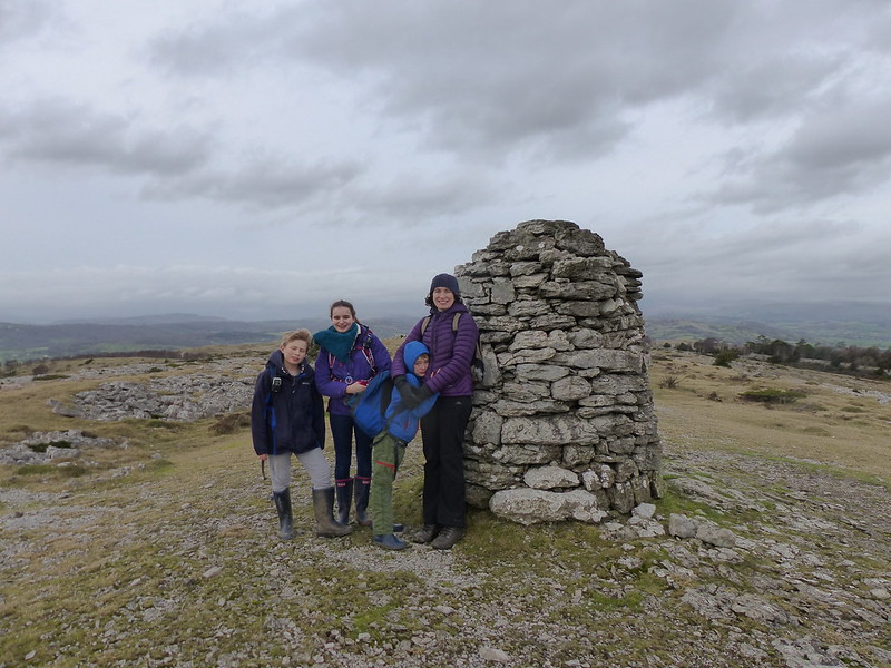
The substantial summit cairn at Lord’s Lot…

image

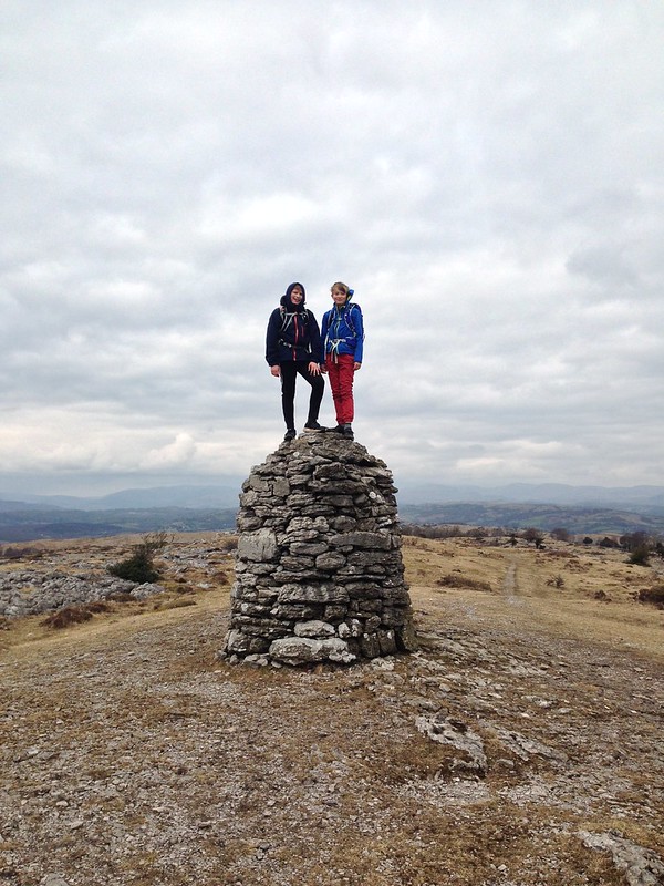
…also seemed to fit the bill as a small crag.

image

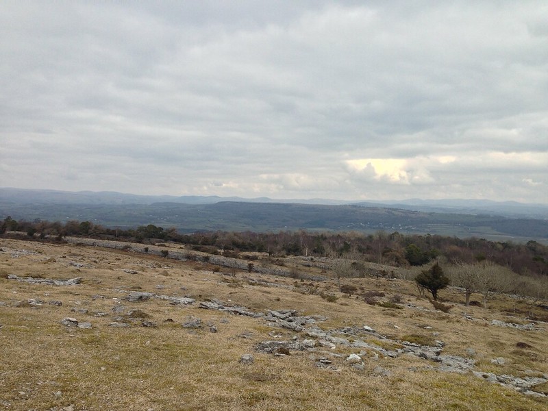
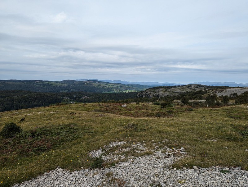
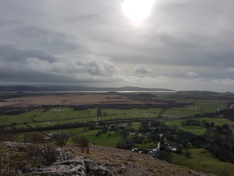
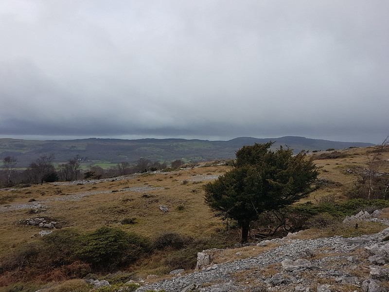
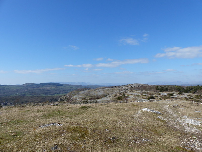
Scout Scar from Lord’s Lot.

image

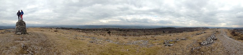
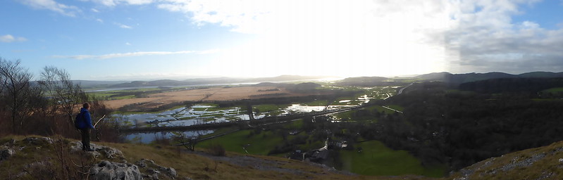
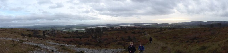
Lord’s Lot panoramas. Click on any image to see a larger version on flickr.

image

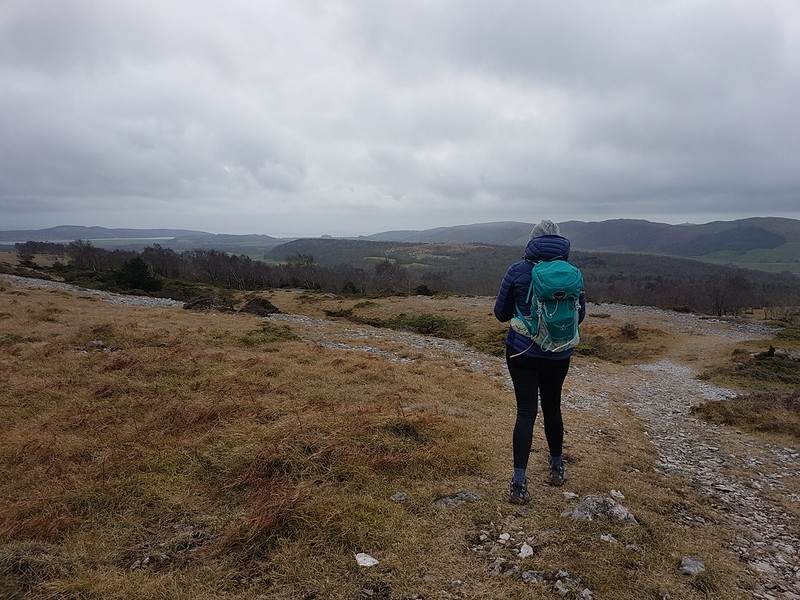
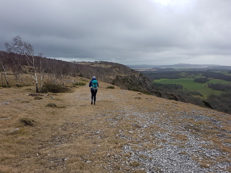
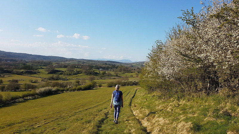
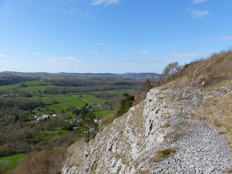
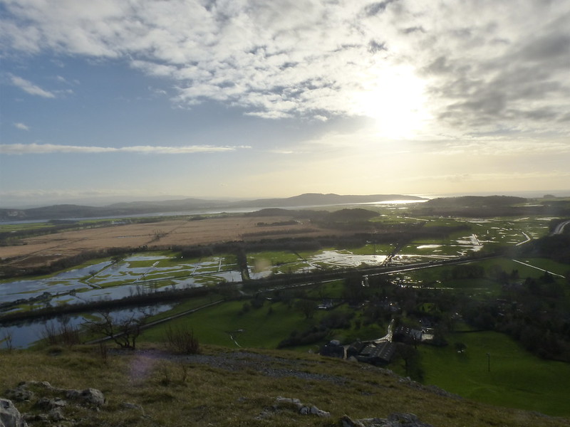
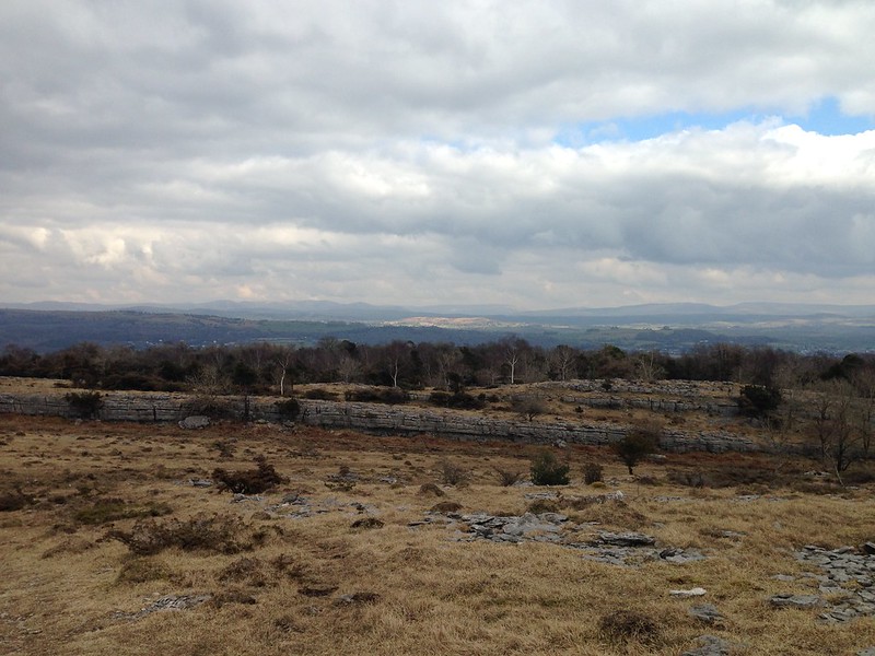
Once the rain stopped the weather continued to brighten, eventually giving us a sunny afternoon in stark contrast to what had gone before.

image

The Helm near Kendal catching the sun. I’ve never been up there, a very odd omission.

image

Scout Scar now catching the sun.

We decided to descend via Bell Rake, a route I haven’t followed for years. Beside the path we came across an old mine entrance, which I must have seen before, but have completely forgotten.

image

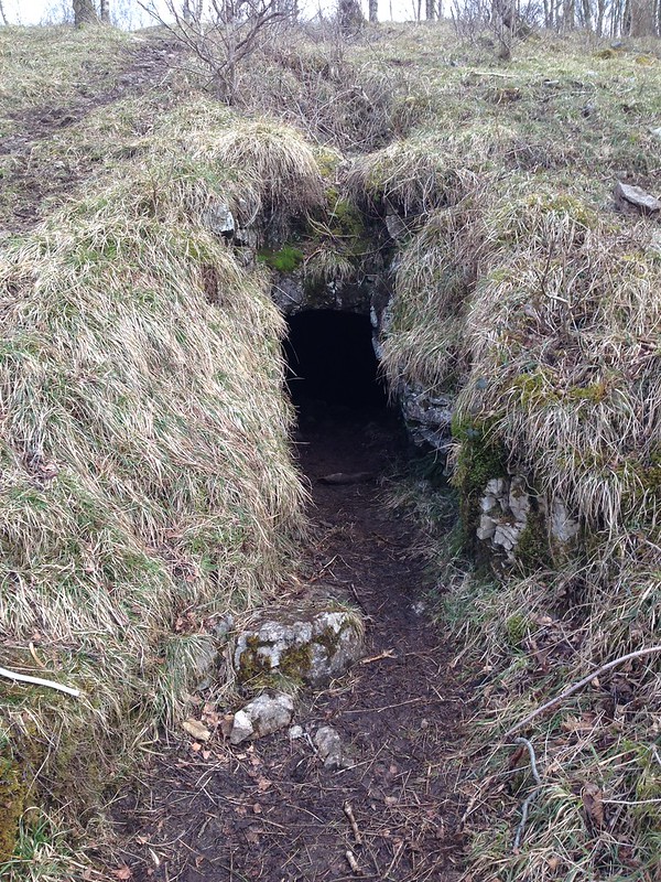
Our kids can never pass up an opportunity like this..

image

And had soon persuaded Andy to join them, he is, after all, an honorary DB.

image

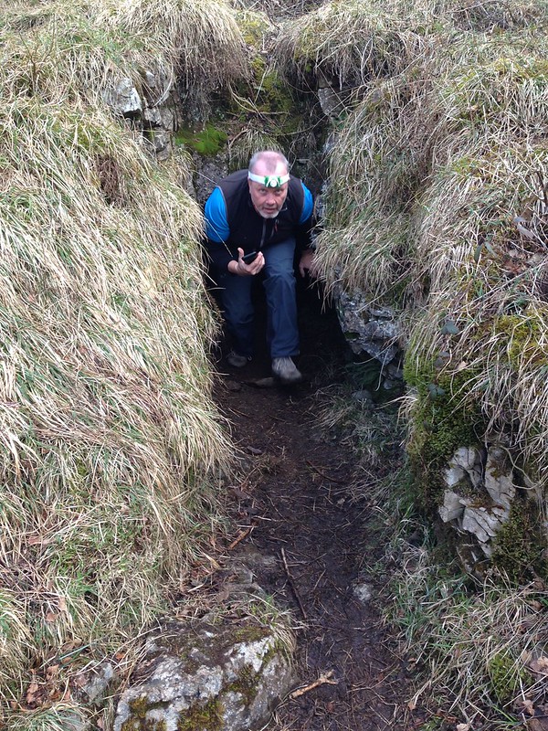
Apparently, after the low entrance it was possible to stand up and the passage went ‘quite a long way’ but was then a dead-end.

I was convinced that a bit of lazy internet research would unearth some details about the mine. I found a huge document, by Max Moseley of the Northern Mine Research Society which seems to have a lot about mining in this area, around Silverdale and Warton and which I shall peruse at some point. And also another file, this time a mineral reconnaissance report, commissioned by the Department of Industry.

image

Spoil?

This one had what at first seemed like useful information.

DISCUSSION OF RESULTS
Area I (Whitbarrow and Brigsteer)
There are no exceptionally high levels of copper, lead, zinc, barium or manganese recorded in this area. Some of the highest values for these elements, particularly lead and zinc, are recorded on the east side of Whitbarrow, where field investigation identified a disused iron mine [SD 4370 87751]. At this locality (Bell Rake) a 0.5 m wide vein of calcite possibly with some baryte is seen in the roof of an old portal. This isolated vein strikes 140° and is vertical. This is possibily the locality described in a transcript dated 1616 quoted by Wildridge (1975).

“The other place called Whitbarrow Hills, where several dead leaders appear, with hingett and liggett. This hath not been wrought to such profile as were fit, but some further trial were made about it some 10 fathoms deep…… undoubtedly a vein will be found, which by the nature of the stone of these works we conceive will come a lead oare mixt with copper.”

No copper, lead or zinc minerals were seen either at outcrop or in mine dump material during a visit to this site. It is probable that this site was excavated in the belief that it was associated with a metal-containing lode vein.


But Bell Rake is on the west side, not the east, of Whitbarrow. The map reference is spot on however. Also, the passage seems to contradict itself: is it an iron mine as stated at the beginning or an exploratory level as suggested at the end? Perhaps, since no copper, lead or zinc ores were found, this site simply wasn’t very important in a mineral reconnaissance report?

Calcite is a crystalline form of Calcium Carbonate, whilst Baryte is a mineral form of Barium Sulphate and is associated with lead-zinc veins in limestones. I can’t figure out what hingett and liggett might be.

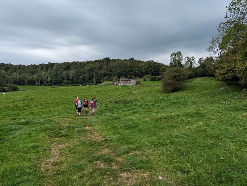
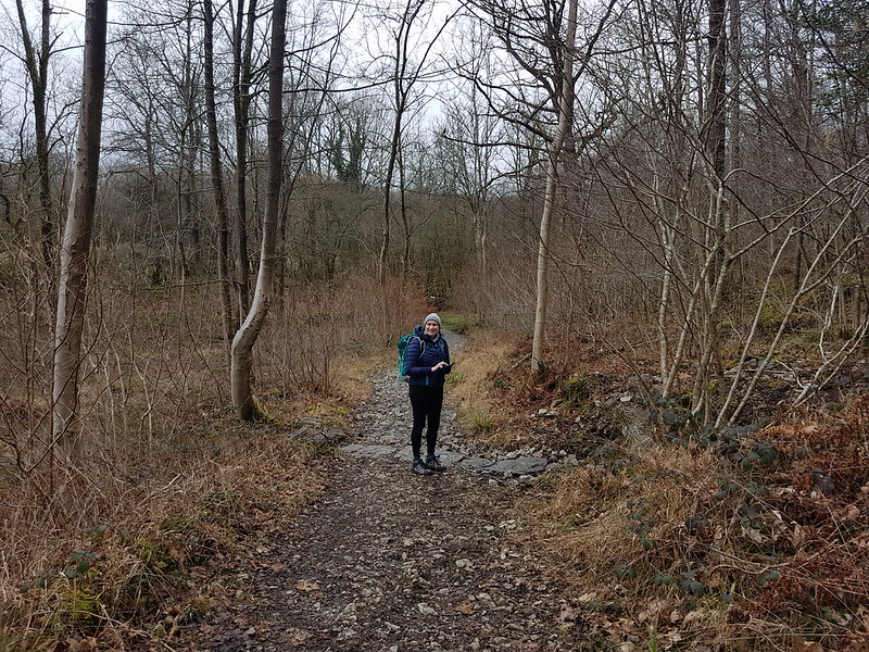
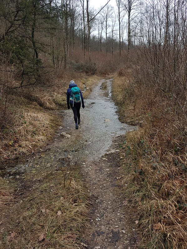
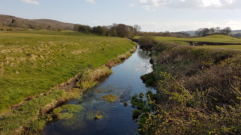
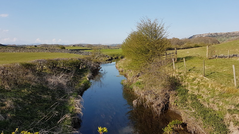
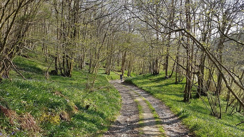
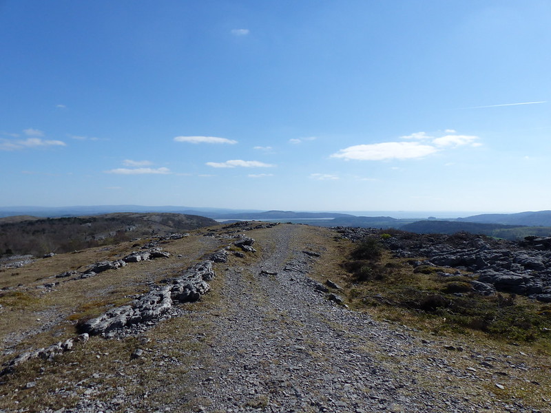
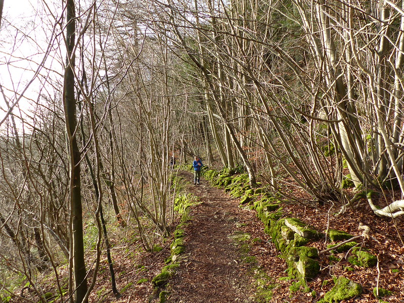
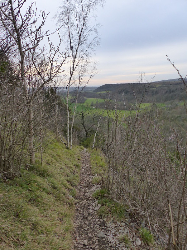
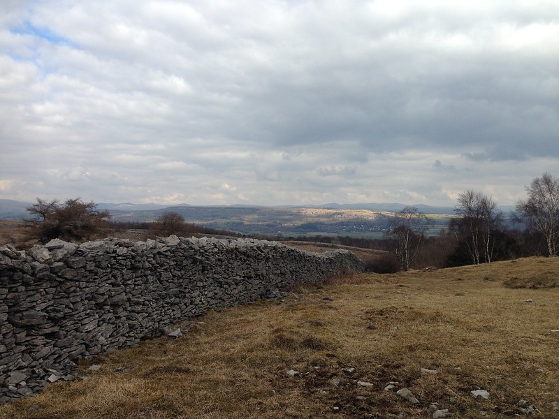
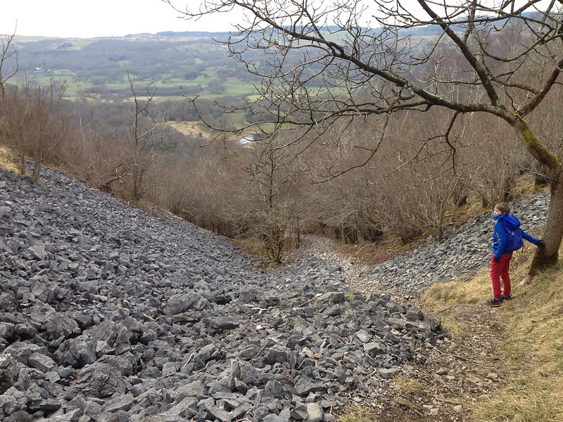
The steep path down from Bel Rake rapidly brought us High Park Wood.

image

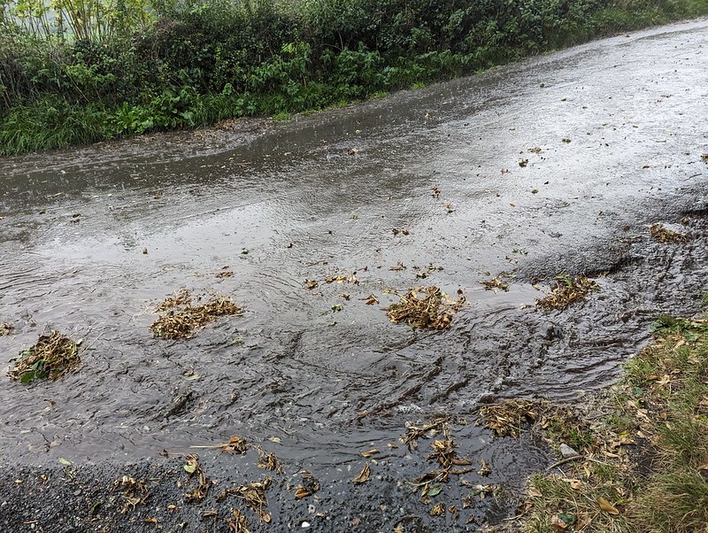
The generally dry conditions underfoot came to an end here, which was no real surprise: previous experience suggests that this path, below the wonderfully named Black Yews Scar, is always fairly damp. I’m sure that I’ve read somewhere that the huge limestone plinth of Whitbarrow sits on a layer of Silurian slate, so that rainwater percolates down through the porous limestone and then rises to the surface as springs when it hits the slate.
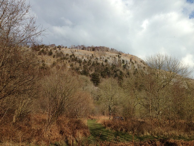
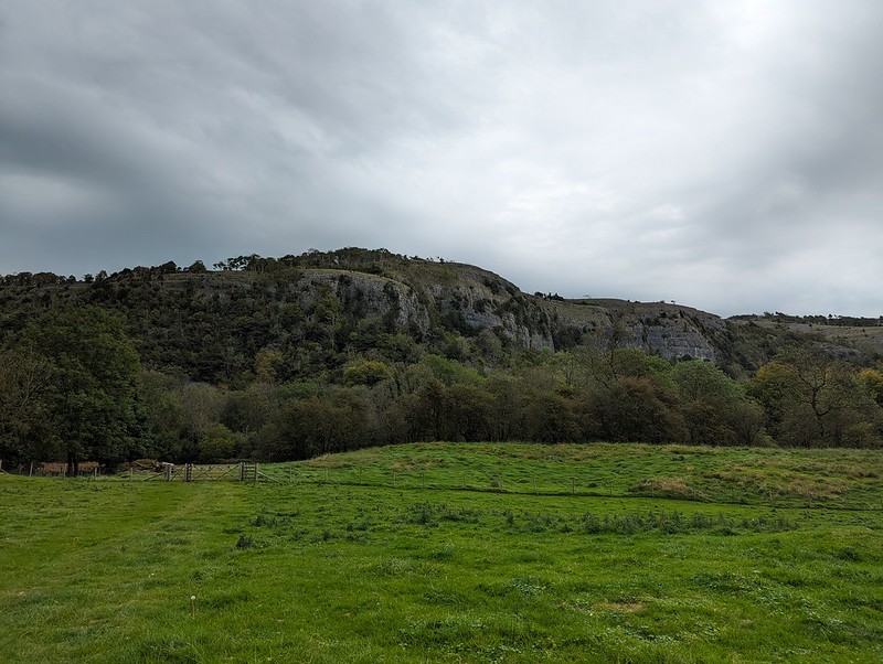
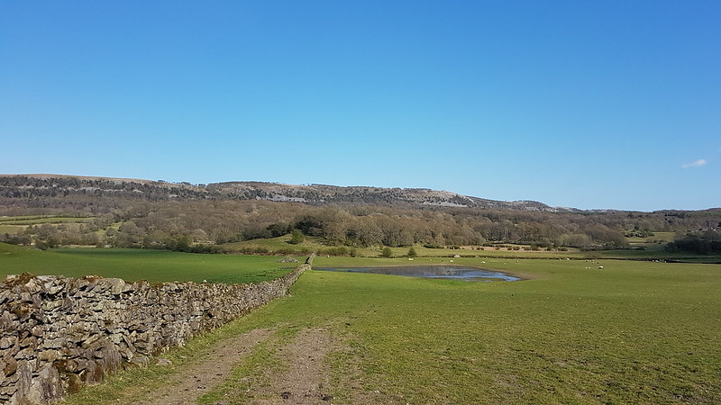
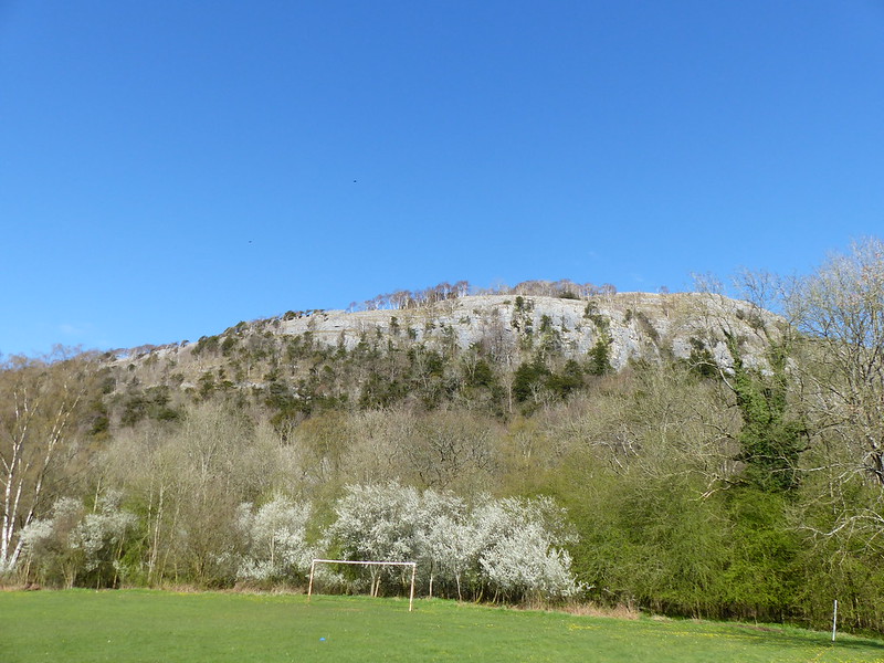
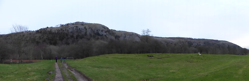
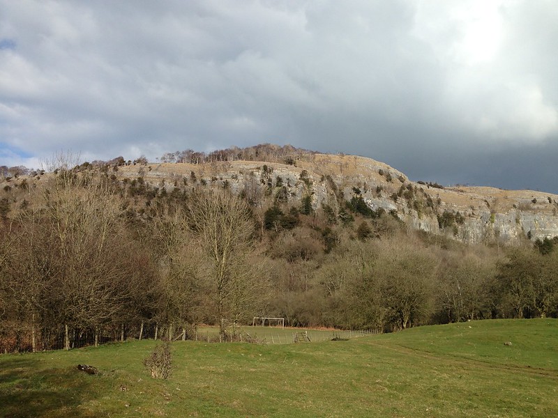
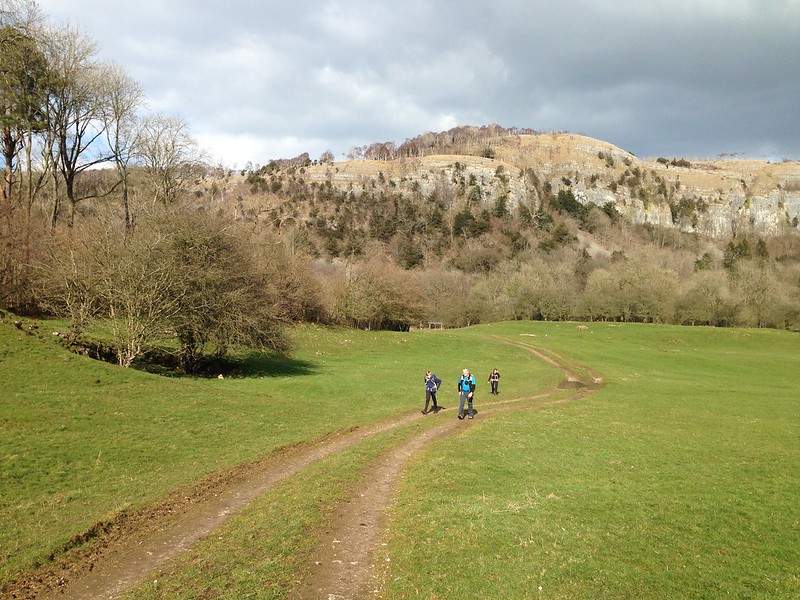
image

Chapel Head Scar.

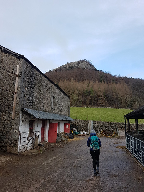
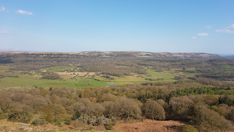
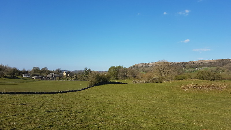
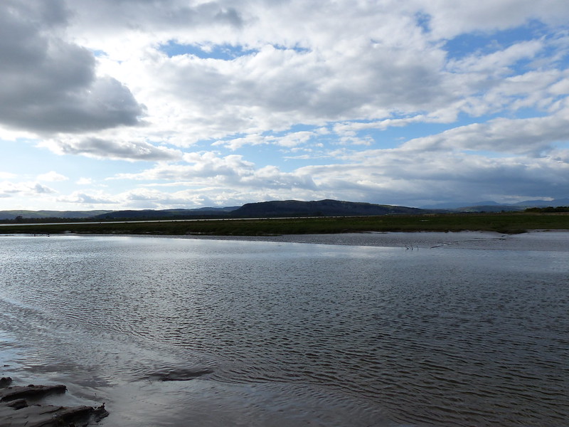
Near Witherslack Hall, the path emerges from the woods, and with the sun shining, we now had superb views of the cliffs of Whitbarrow.

image

image

image

image

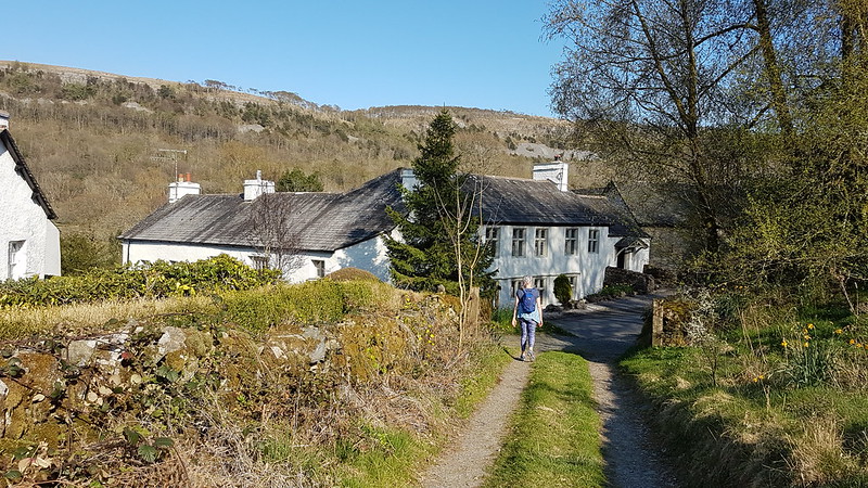
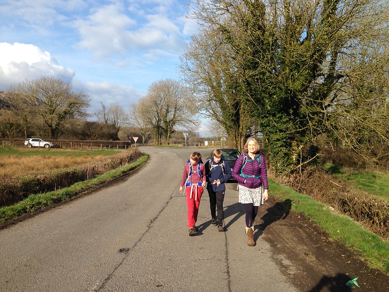
A short walk, first along the road and then on a track, brought us to the outskirts of the village of Beck Head.

image

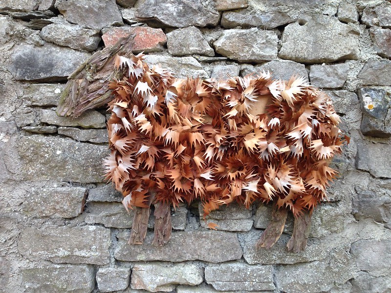
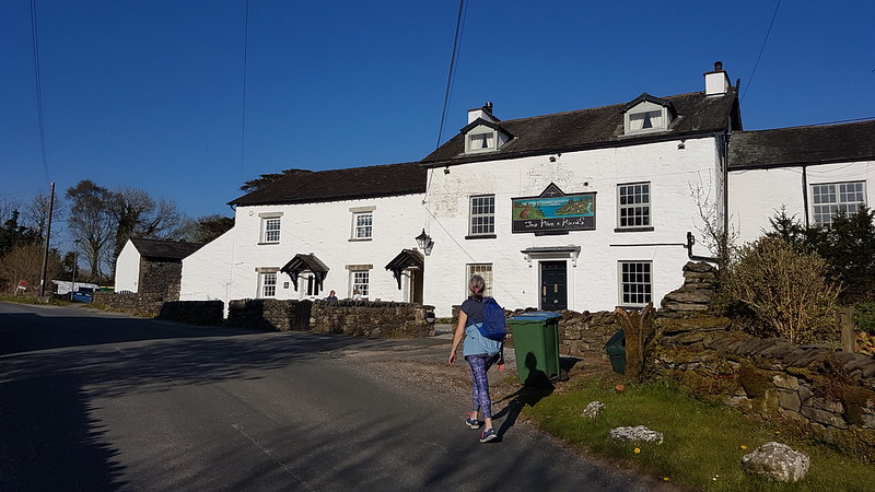
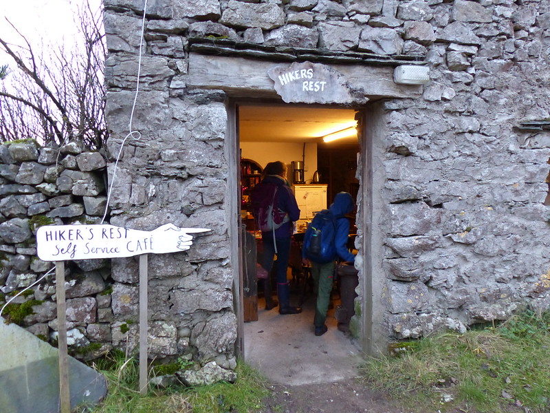
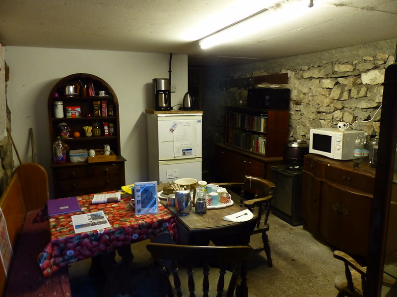
Artwork on the wall of the former Hikers’ Rest Cafe.

image

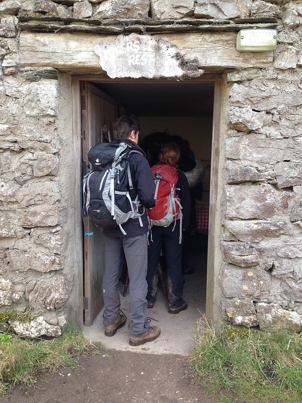
Sadly, the Hiker’s Rest Cafe there has had to close because it operated on an honesty box system, but people were not paying for what they took. What a shame.

image

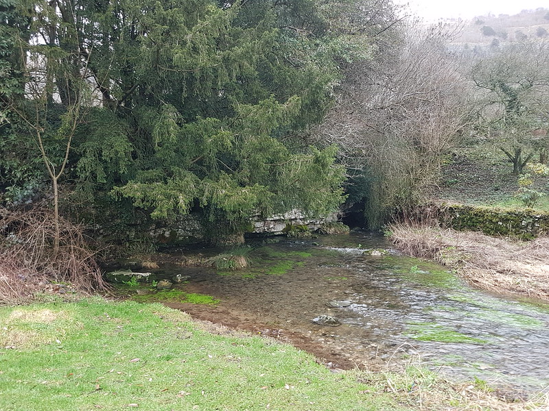
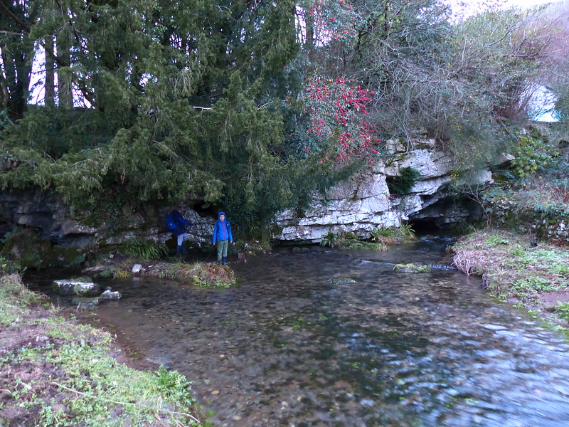
At Beck Head there’s a particularly large and impressive spring. The boys managed to pick their way across the stream and where keen to explore another cave they could see. Time was marching on however and it was time to return to the cars and then home for some homemade pizzas and an evening of games.
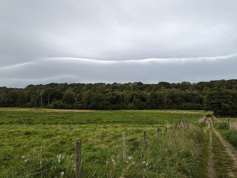
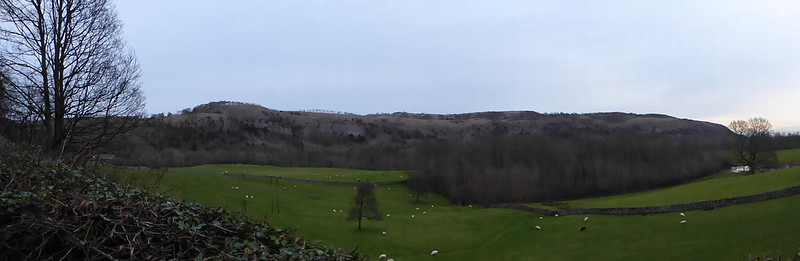
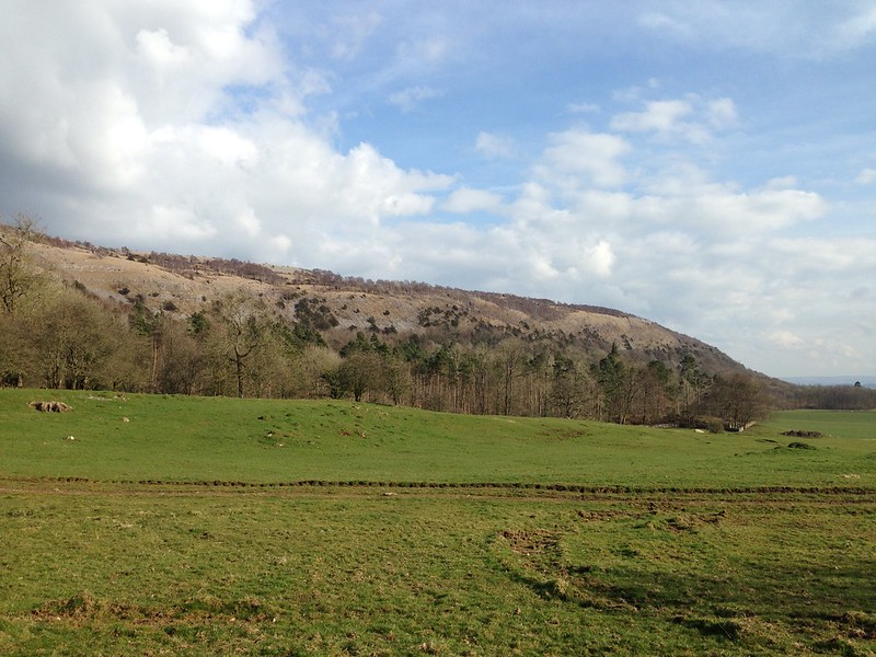
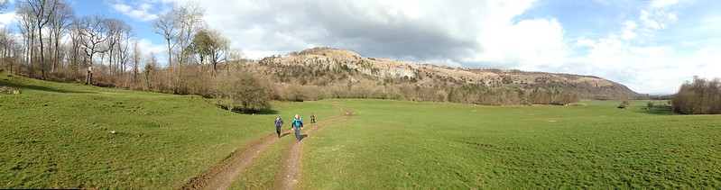
image

Whitbarrow.

image

Back at the cars.

Burns rounds off ‘To a Mouse’…

Still thou art blest, compar’d wi’ me
The present only toucheth thee:
But, Och! I backward cast my e’e.
On prospects drear!
An’ forward, tho’ I canna see,
I guess an’ fear!

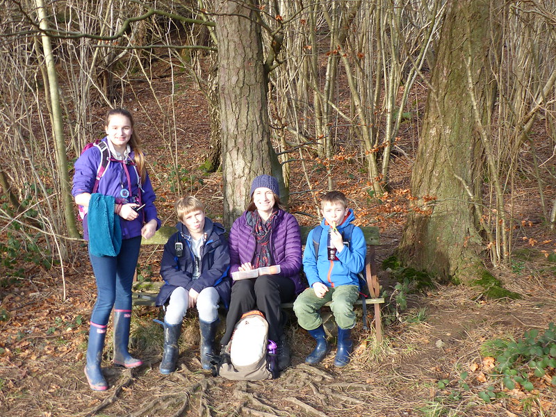
Poor chap. He needed to get some friends round; share a walk, some games, some simple food, a few laughs. It’s a foolprooof recipe for a happy weekend.

A Good Friday on Whitbarrow

Birds by the Bela

River Bela – ‘Orchid Triangle’ – Dallam Bridge

P1110352

A dance lesson for A and a short stroll for me, with more gawking than walking. I wasn’t too surprised to see the Pied Wagtails by the River Bela, but I was slightly taken aback moments later to spot a Wheatear – a passage bird?

P1110354

Whitbarrow Scar across the Bela.

On the ‘Orchid Triangle’ some orchid leaves in evidence – heavily spotted Early Purple and what I assume is Common Twayblade. No flowers yet, but plenty of other flowers incuding Cowslips and Bluebells. The latter in particular were attracting this very handsome bee…

P1110372

…which was quite small. I assume that it’s some sort of Solitary Bee. It has the ginger thorax of a Tree Bumblebee, but not much white on the tail and a good deal of very pale yellow hair too.

P1110385

Marsh Tit.

P1110387

Grey Heron and Little Egret perched at the Heronry.

P1110392

P1110398

I walked past a substantial Oak which was liberally festooned with Gall Apples like this one. I was surprised by how fresh and apple-like they looked.

Birds by the Bela

A Family Outing to Whitbarrow

P1050558

The title pretty much says it all, so I could just let the pictures do the talking, but I rarely miss an opportunity to pontificate, so: no such luck.

When I lived in Arnside, I could see Whitbarrow Scar from my living room window. Not that surprising then, that I used to come this way often. Far more surprising, is the fact that, since I moved back to Silverdale, I’ve rarely been back, and until just after Christmas, the kids had never been at all. The path in the picture above, not a right-of-way and not shown on my OS map, but as you can see, extremely well made, winds it’s way up the steep hillside without, mercifully, ever becoming steep itself. Leading to…

P1050566 

…an old bench with a bit of a view…

P1050562 

…presently of flooded fields. The hillside here was, long ago, the coastline. The river in the distance is the Kent, with Arnside Knott and Beetham Fell beyond.

P1050573 

A short climb from the bench, and then a slight detour from the main path, leads to the top of the scar and even more expansive views.

I was playing with the panorama function again…

P1050576 

We found a sheltered spot for a brew and some left-over goose sandwiches and then continued across the plateau towards Whitbarrow’s highest point.

P1050583 

The view behind of the Kent Estuary was magnificent. (You probably need to click on the photos to see bigger versions in flickr to get the full benefit of the panorama shots.)

P1050586 

Looking towards the top.

P1050591 

P1050593 

Eastward: floods in the Lyth valley.

P1050596 

At the top.

P1050599 

Heading for the descent route…

P1050600 

…which cuts very steeply through the trees.

P1050608 

Two more panoramas. Light a bit too low at this point I think.

P1050612 

On the outskirts of the hamlet of Beck Head we found this…

P1050618 

…very well appointed self-service cafe with honesty box.

P1050616 

I shall have to contrive a walk which arrives here in the middle, rather than near the end, so as to feel justified in partaking of what’s on offer. (Purely for research purposes you understand).

P1050622 

The boys were very taken with the actual Beck Head, where the stream appears from underground.

P1050624

A slightly longer version of this walk appears in Wainwright’s ‘Outlying Fells’ and he says of it:

The walk described is the most beautiful in this book; beautiful it is every step of the way.

Can’t say fairer than that.

A Family Outing to Whitbarrow

Whitbarrow Scar

My friend X-Ray confided in me a while ago in the pub.

“I’ve bought a set of the Wainwright guides and I intend to climb all of the Wainwrights.”

I volunteered myself as a suitable companion and than waited for him to invite me out for some child-free days in the Lakes. When the call never came, I reminded him of his resolution and we arranged to bag our first Wainwright this Saturday. Thanks to the out-laws excellent baby-sitting service A was able to join us too.

It transpires that X-Ray has climbed many of the Wainwrights before, but has decided to start again. I’ve don’t own a set of the books – when all my friends were buying them I was too contrary to join in – so although I know that I must have climbed many of them, I have no idea how many. But having stalled with the Munros ten years ago at about 184, (Well…ok, exactly 184 not that I adopt a train-spotterish approach to ticking off mountains on lists….honest!) I could do with a new and more manageable challenge.

I had seen a forecast of dire conditions earlier in the week, but in the event the cloud broke up and cleared and we even had a little sunshine. There was quite a sharp breeze on the plateau, but after the steep pull up through the woods that came as a welcome relief.

Like Scout Scar – which I climbed with the kids a few weeks ago – Whitbarrow Scar is the result of the Limestone bedding planes having tilted over so that on the eastern side the ground rises gently and on the west there are cliffs. Whitbarrow Scar covers a larger area and has higher cliffs than Scout Scar though.

The limestone of Whitbarrow Scar sits on a bed of slate. Water percolates down through the porous limestone and then when it hits the slate is forced back out onto the surface in many springs and streams, most dramatically at Beck Head, where the stream, significantly swollen by Friday’s rain, emerges directly from under a small crag.

The stone garden shed which can just be seen on the right of the pictures has two frogs surmounting either gable end.

Some local citizen has been designing their own roadsigns to safeguard the beck’s other denizens.

Whitbarrow Scar