First Day
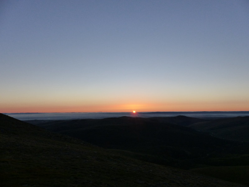
B and I had been discussing various plans for a night or two away somewhere, but dodgy weather and the fact that B was quite busy between work and social commitments had prevented that so far. However, the forecast looked half reasonable, and B could spare me an afternoon and the following morning, so we hastily packed (fortunately my gear had dried out in the day since my wash-out walk from Austwick) and set-out for Patterdale.
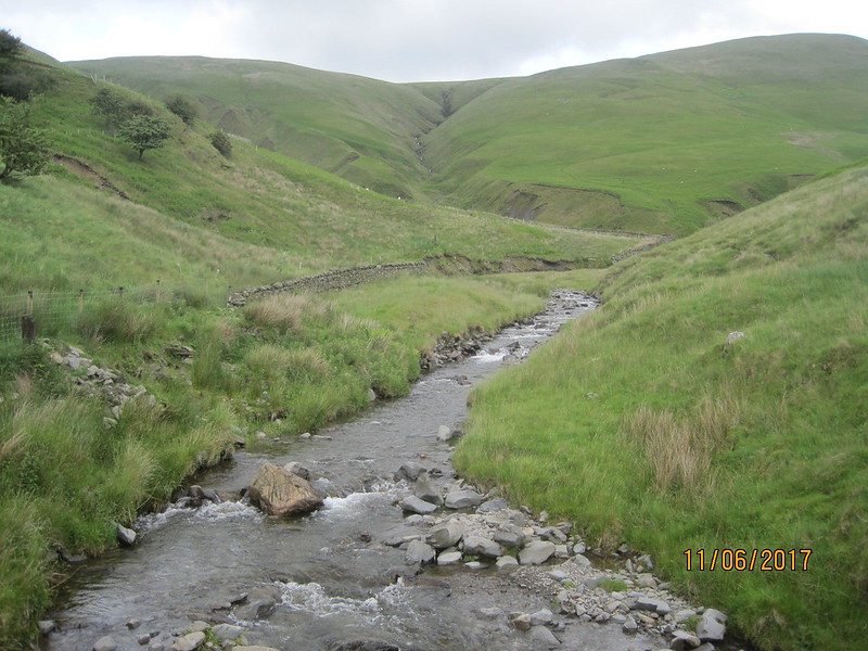
We parked at Cow Bridge, just north of Brothers Water. I was pleasantly surprised to find that the car park wasn’t full, especially given that it’s free.
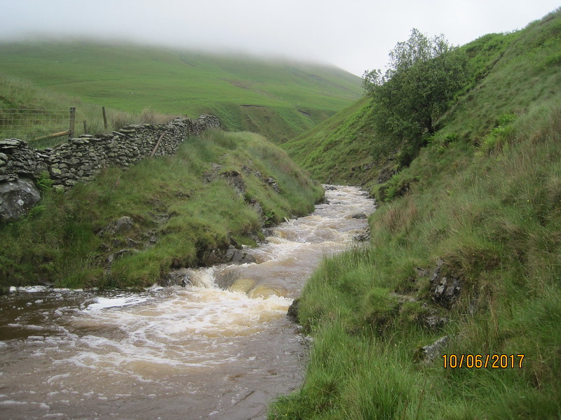
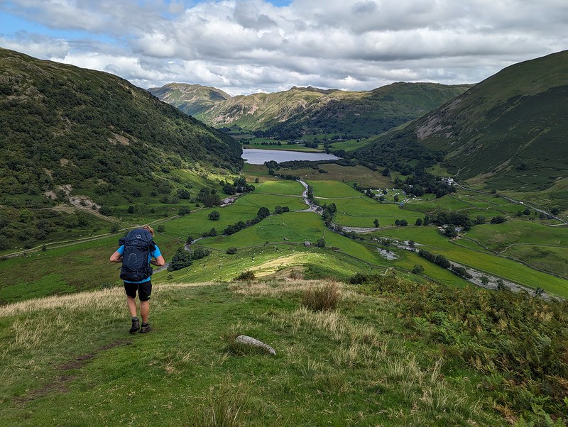
We used the permission path beside the road through Low Wood. The map shows a much more direct route through the woods on to the Hartsop above How ridge, but I would have been much happier to take the less steep route even if I hadn’t been carrying camping gear. Actually, B had volunteered to carry the tent, so although I had the food, pans and stoves, my pack wasn’t as heavy as it might have been.

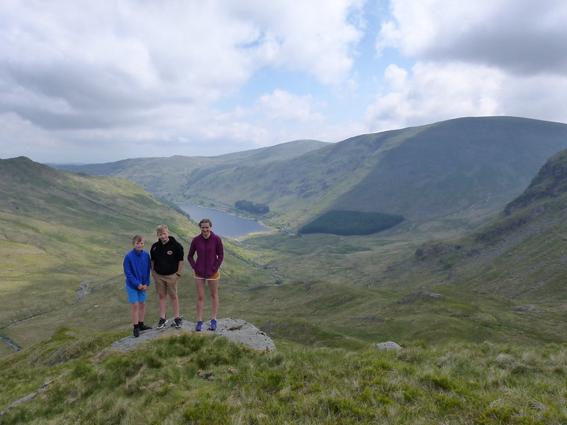
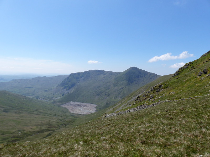
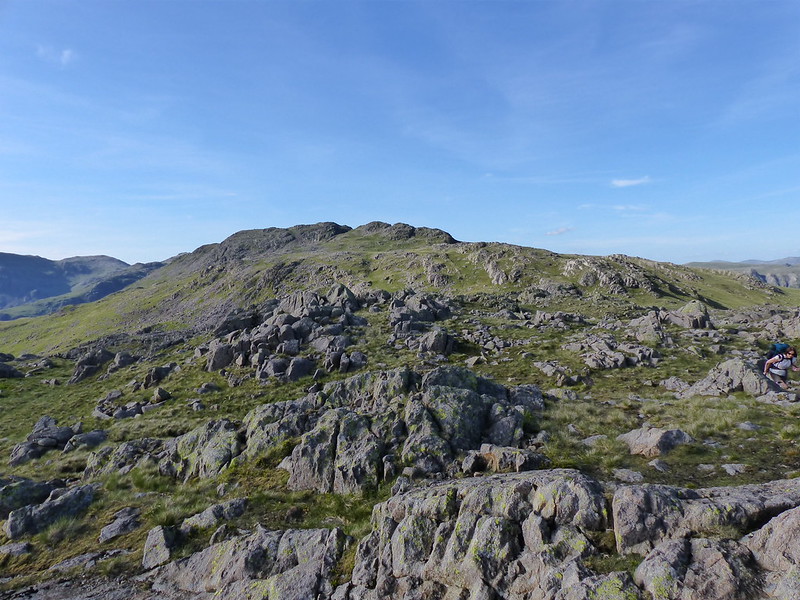
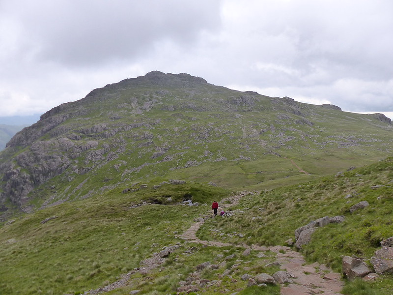
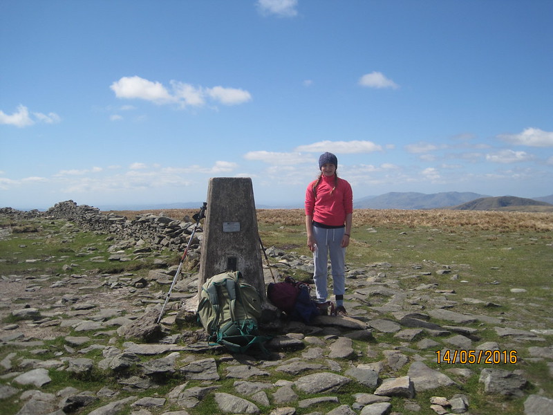
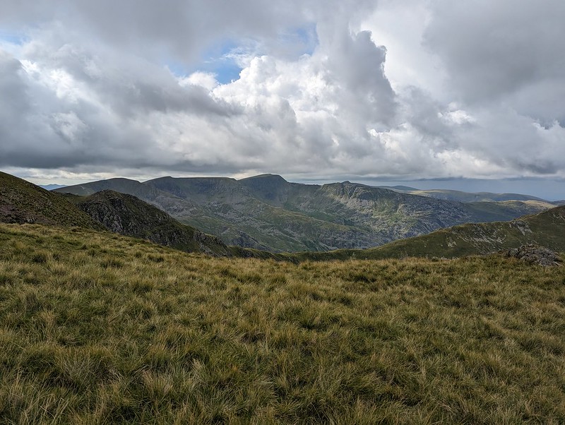
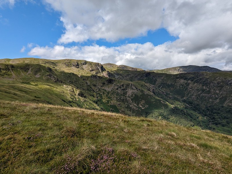
Gavel Pike looks very dramatic from this direction, which is a bit misleading, but it’s a Birkett which is well worth taking a detour to visit when climbing St Sunday Crag.
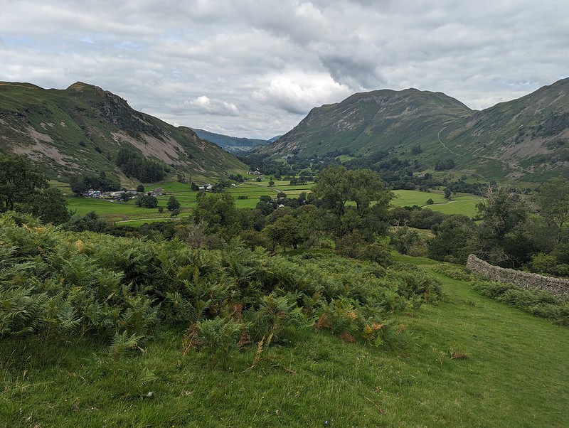
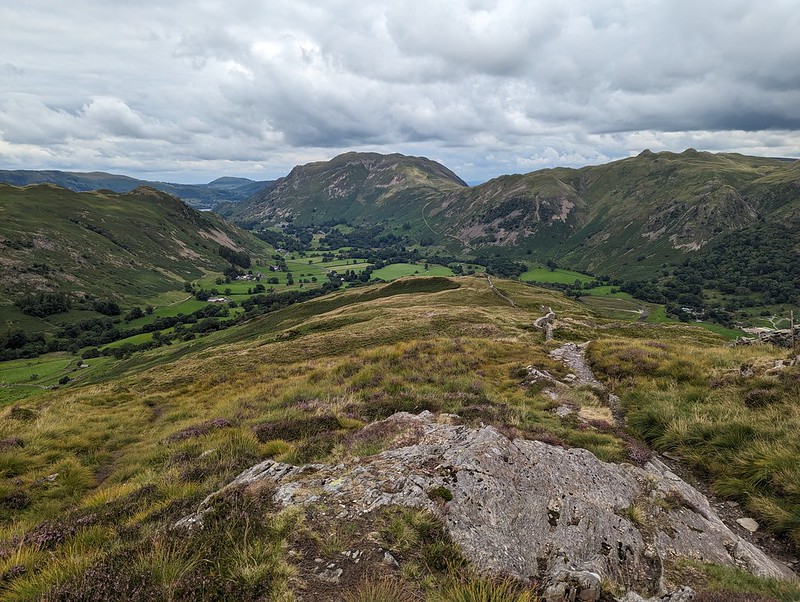
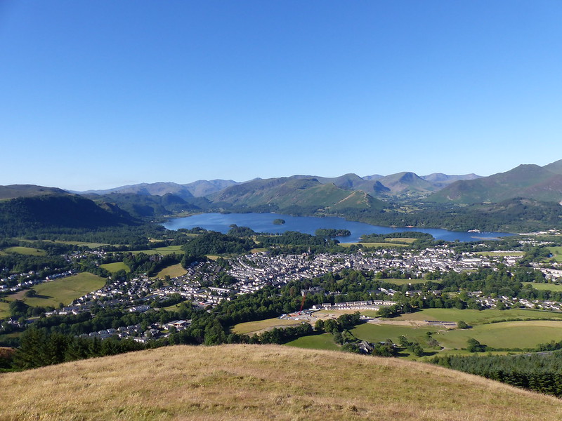
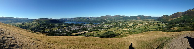
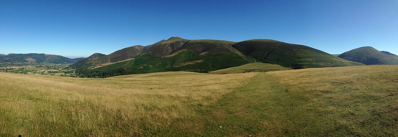
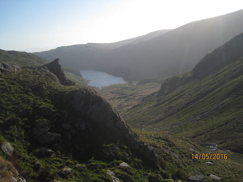
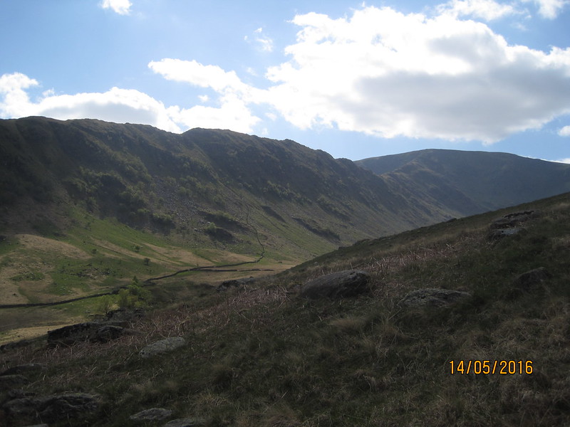
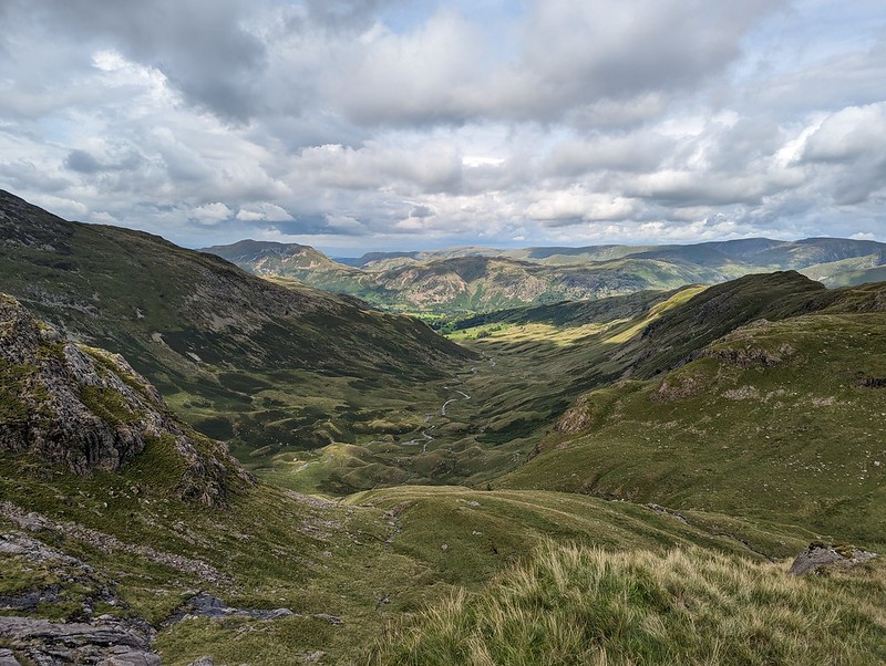
The long ridge over Hartsop above How is a lovely walk. It gave us lots of opportunity to look ahead to the various potential campsites I’d identified. I let B make the decision and he was most taken with the idea of dropping down into Link Cove, the craggy corrie below Hart Crag and Scrubby Crag. Although I left the choice to B, that was my preferred option too. I’ve visited Link Cove a couple of times before, ascending in to it on the way up Fairfield from Deepdale, with Andy and Uncle Fester years ago and I’d been wanting to return.


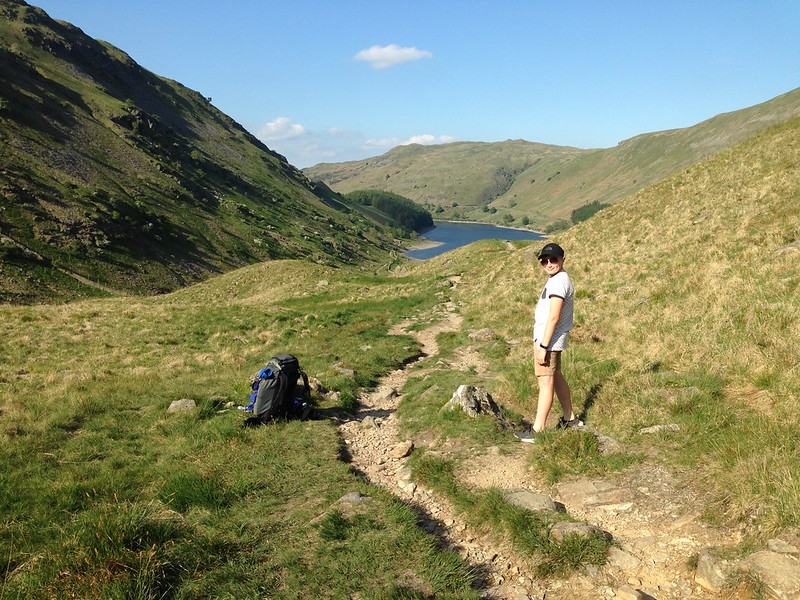
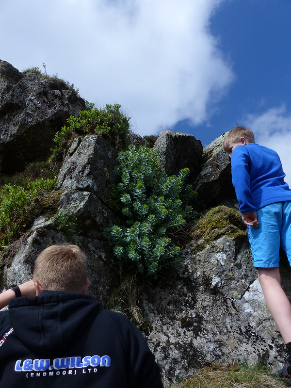
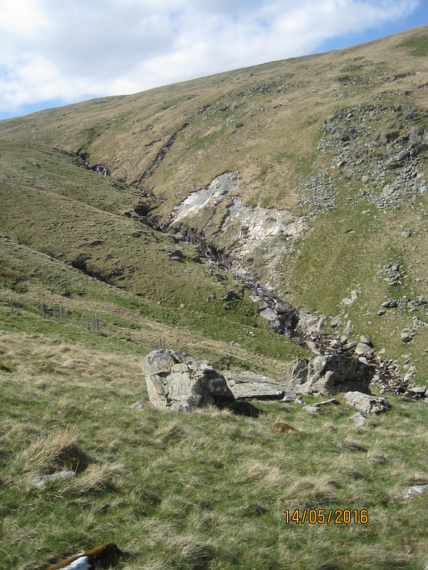
There were a lot of flying ants about. We’d decided to stop here for a drink and a snack, but this little knoll seemed to be a particular focus of their attention and we were quickly overwhelmed and decided to move on.

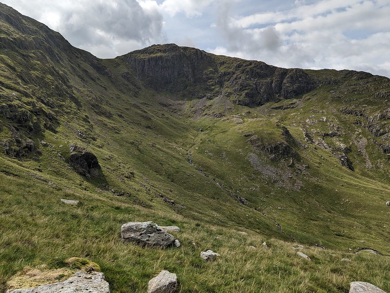
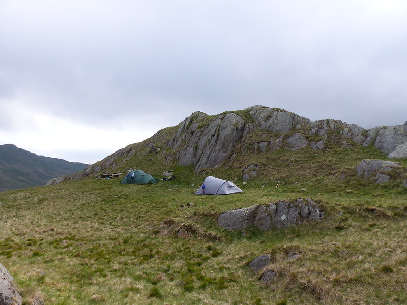
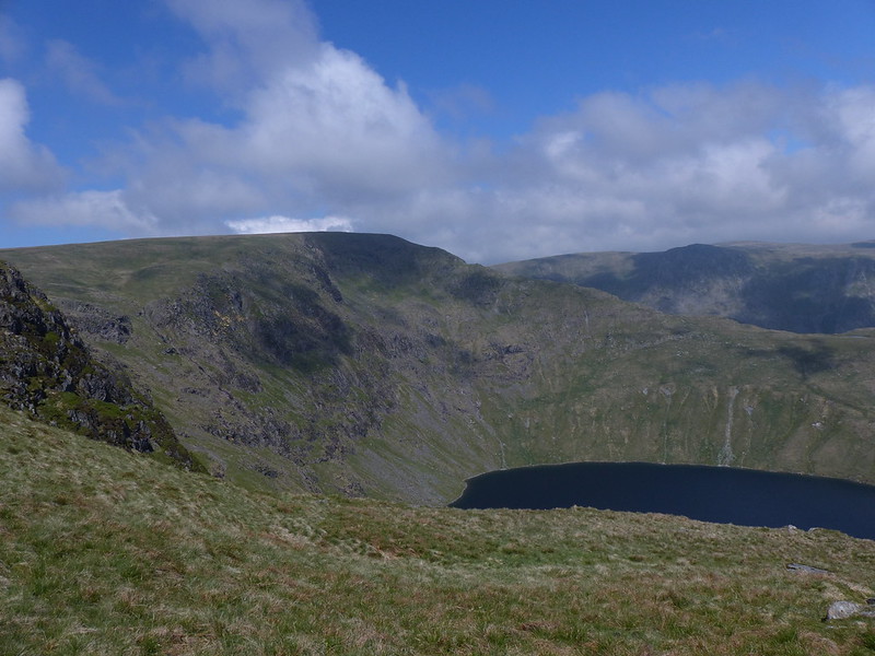
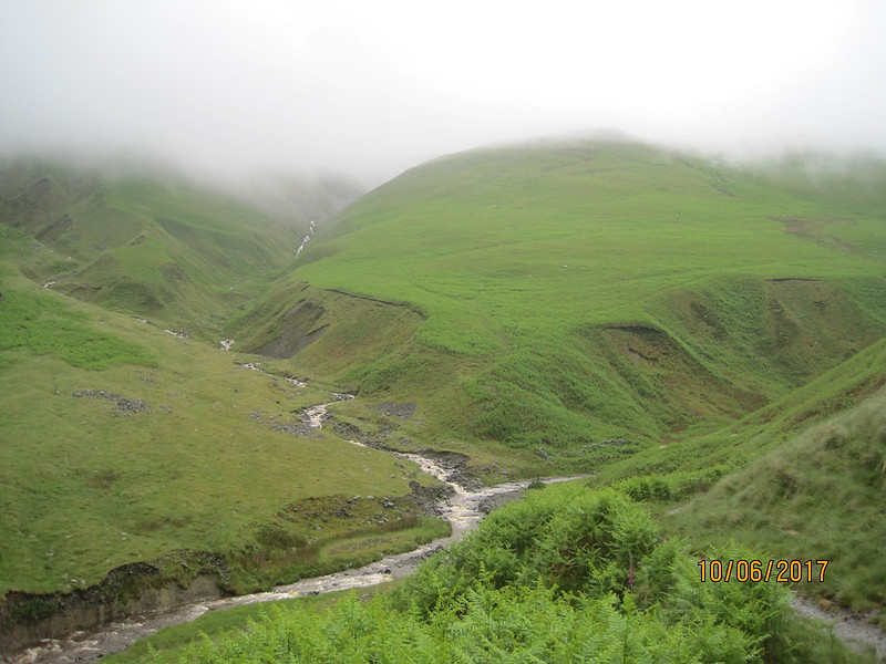
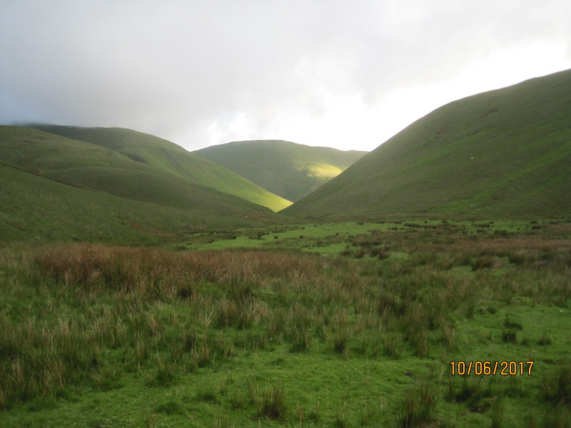
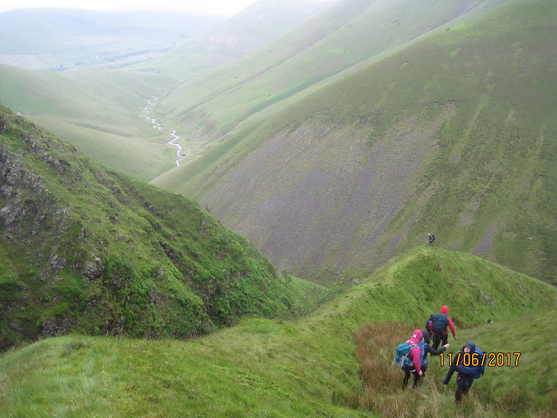
There’s no path into Link Cove. We took a line which angled down below the darkly shadowed crag on the left of the photo above, then climbed again onto the small ridge in the middle of the cwm. This was rough going, but I love getting off-piste into dramatic scenery like this.
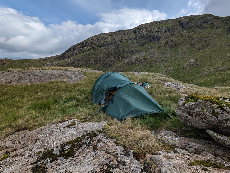
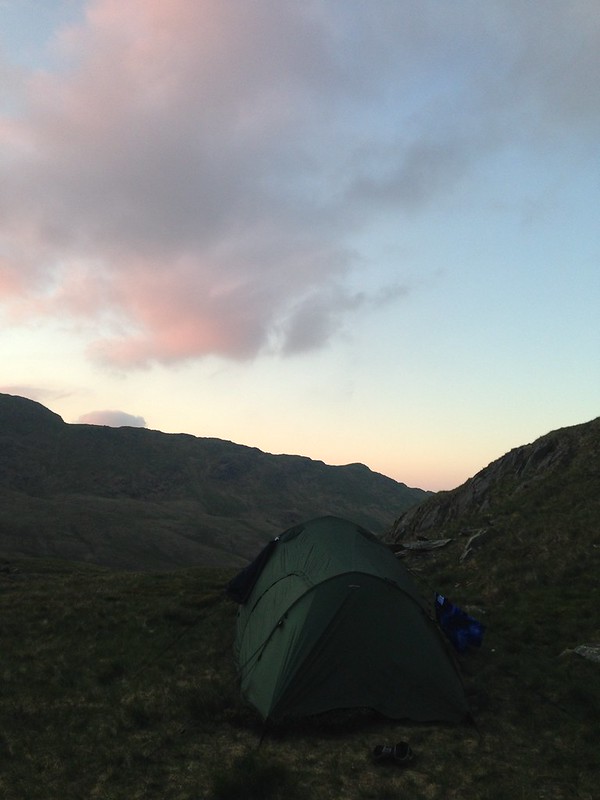
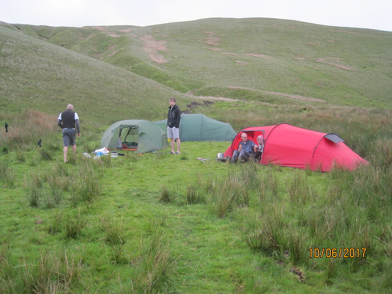
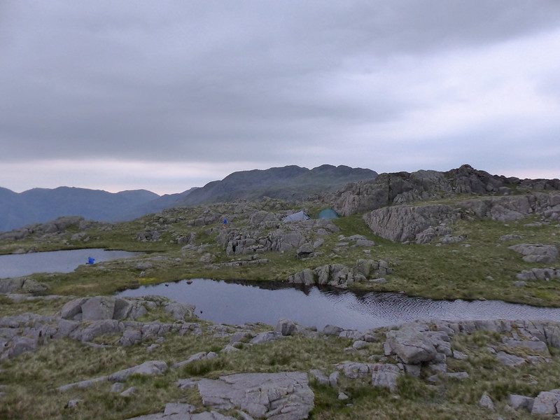
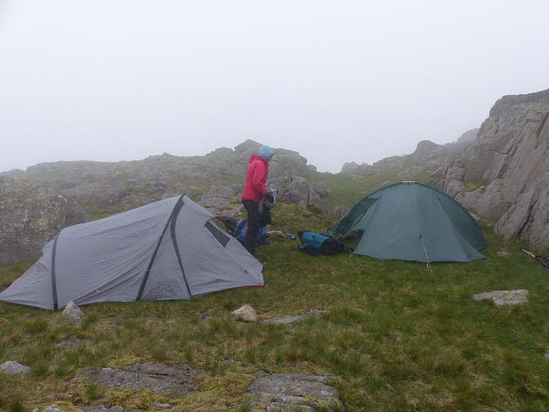
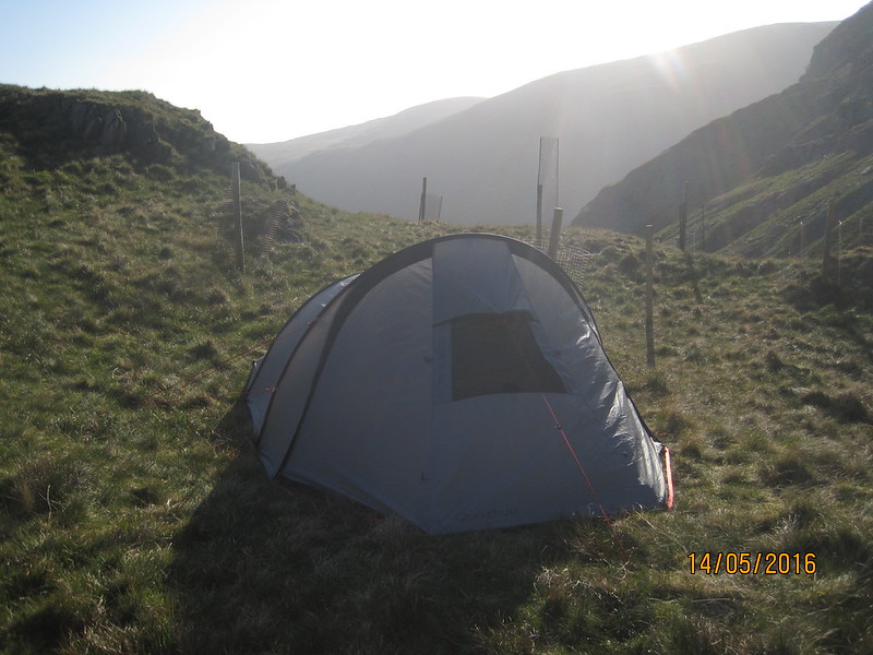
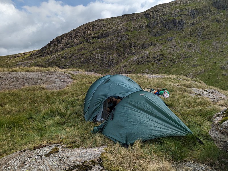
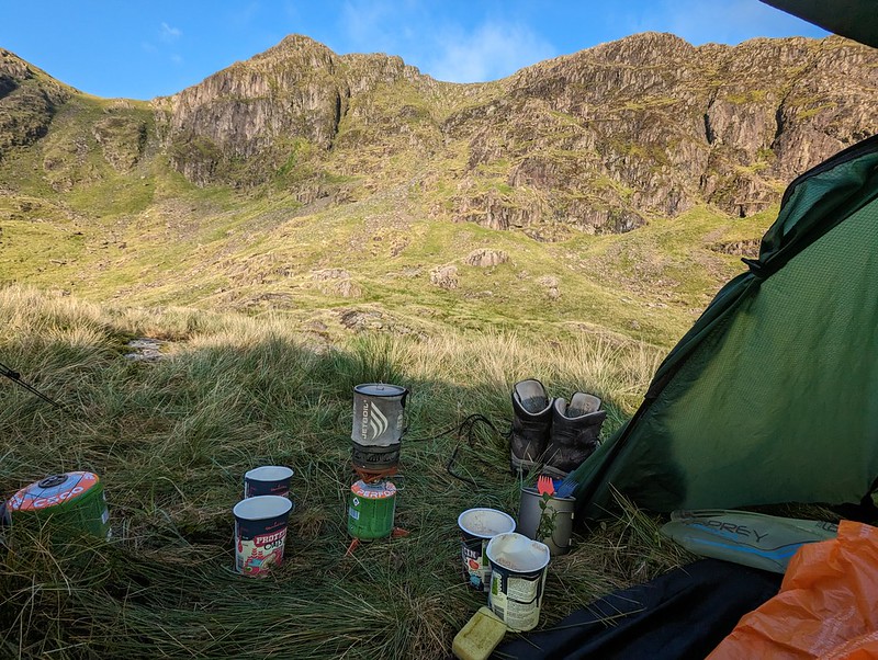
It was hard to find any level, dry ground to pitch the tent on. This spot was probably more level than it looks in the photo, but it wasn’t as dry as we might have liked. Then again, after the weather we’d had, it was always going to be hard to find a spot which wasn’t soggy.

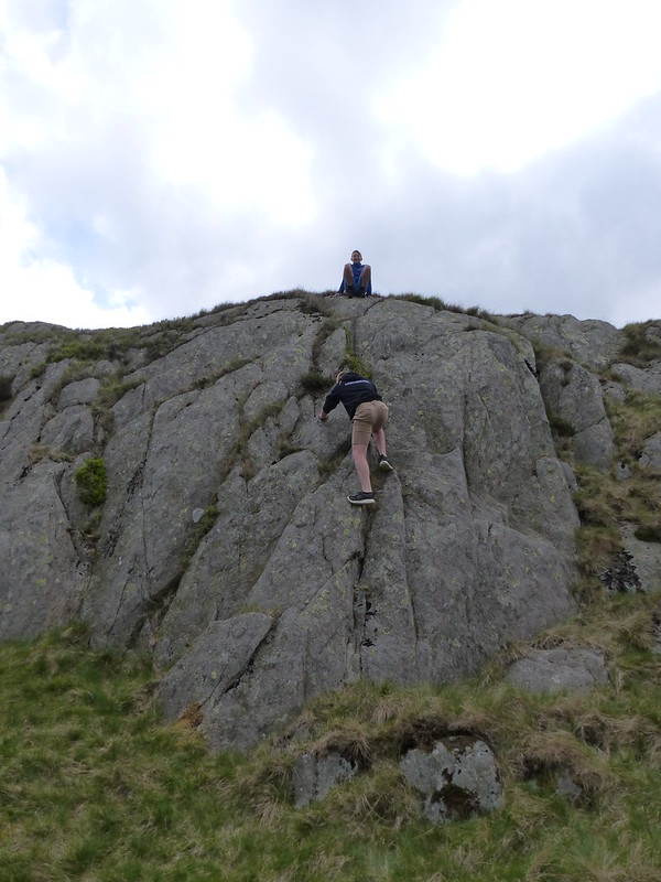
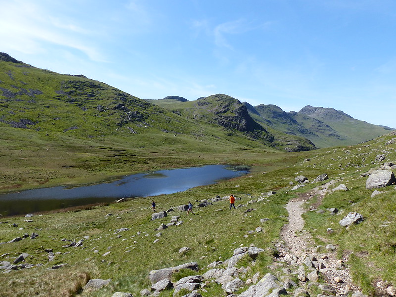
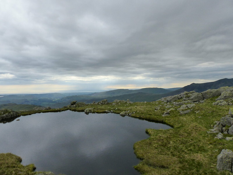
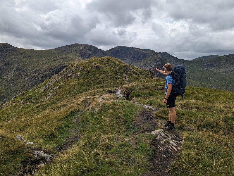
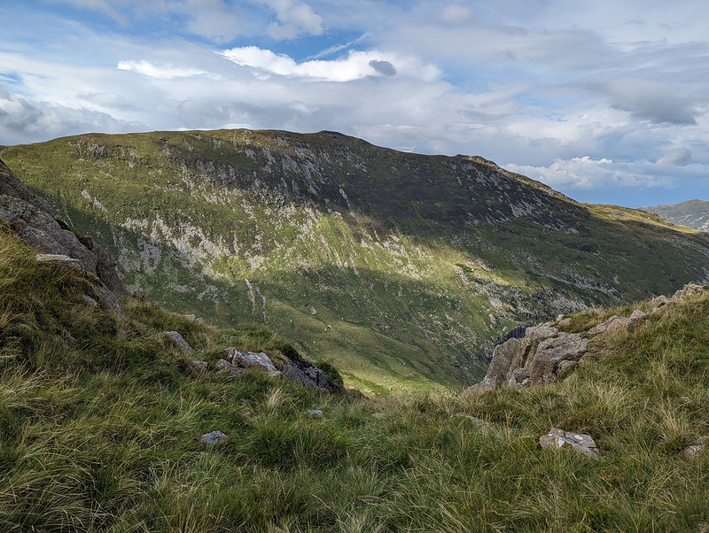
Once we were pitched and organised, we left our gear and set-off unencumbered for a circuit of Link Cove. I thought the map suggested that The Step would give a good ascent route and that proved to be the case.


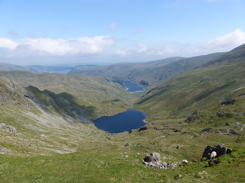
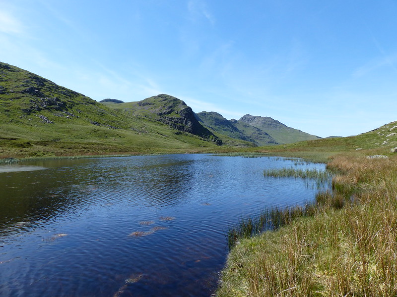
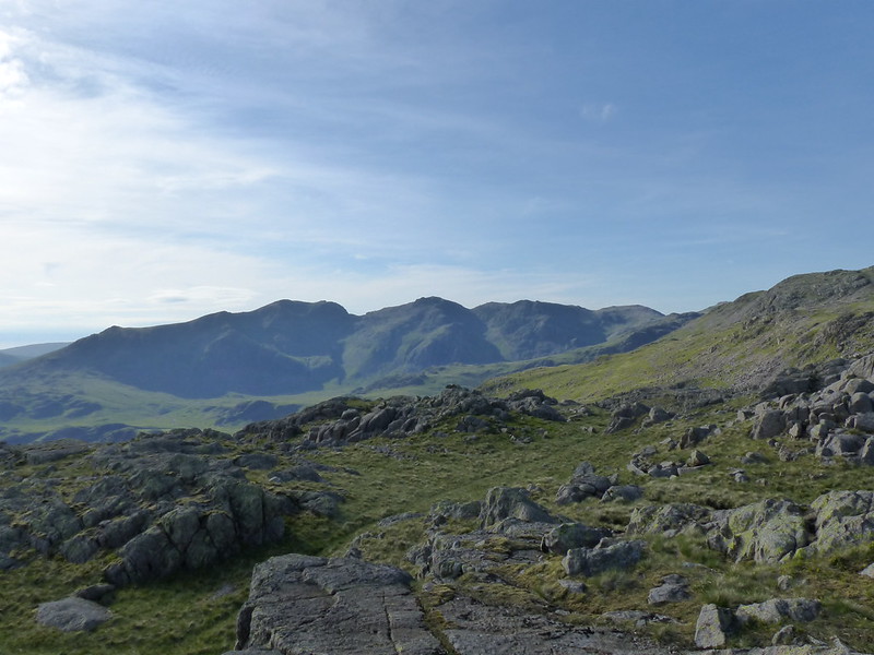
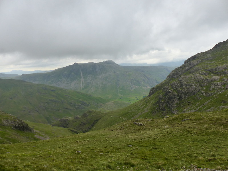
You can’t beat this sort of exploration – we had great views into Link Cove, then suddenly we hit the far side of the ridge and found terrific views of the northern steeps of Fairfield.
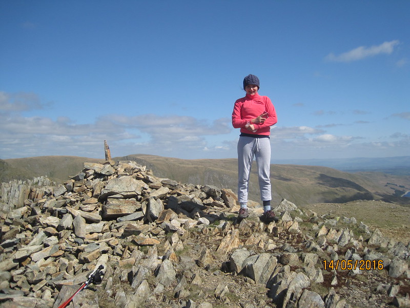
From Scrubby Crag we decided that a detour to take in the summit of Fairfield was called for.

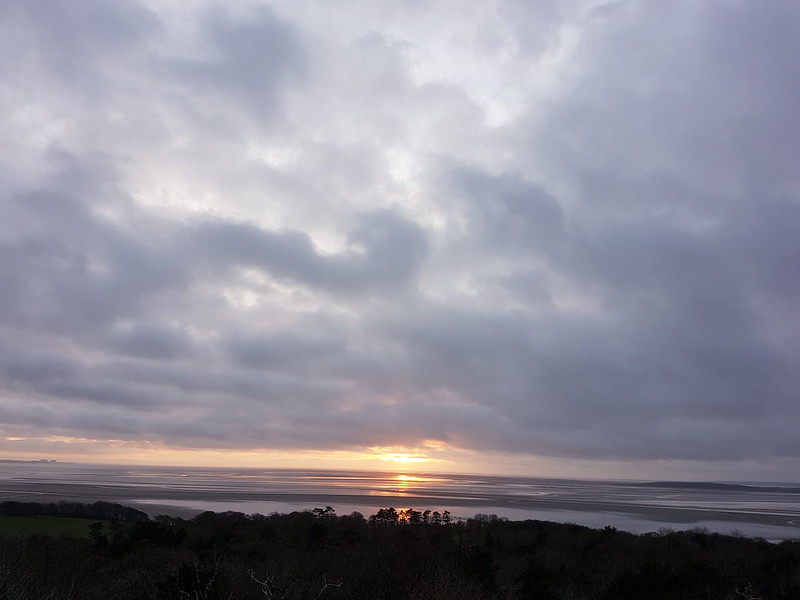
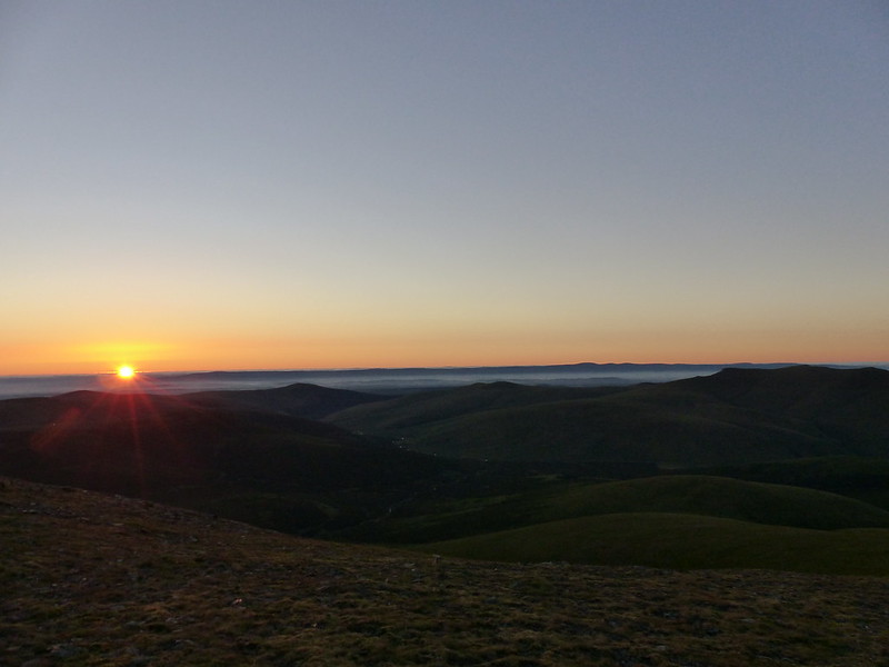
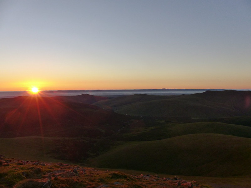
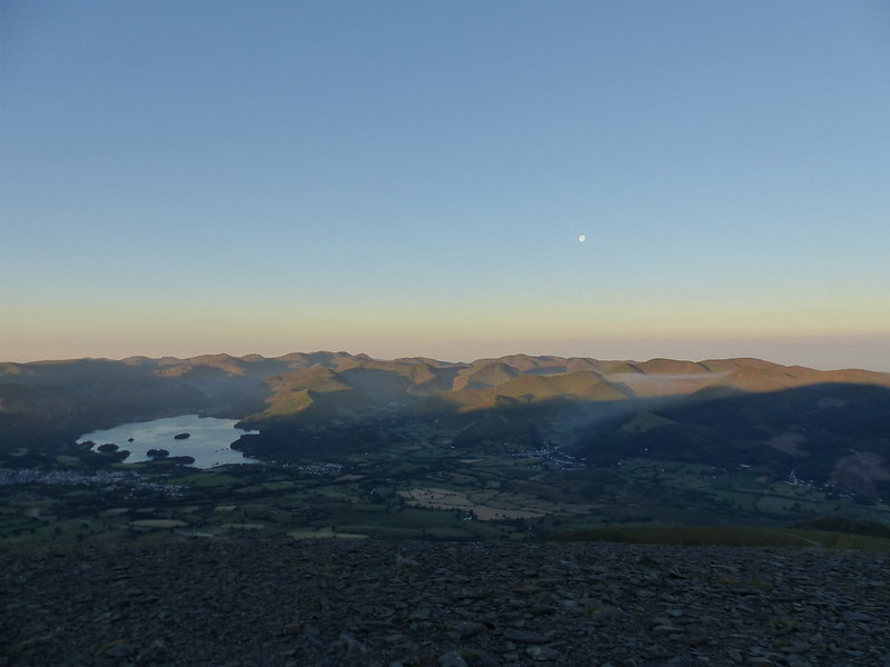
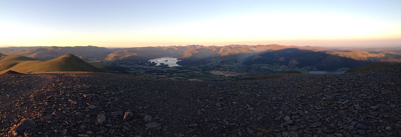
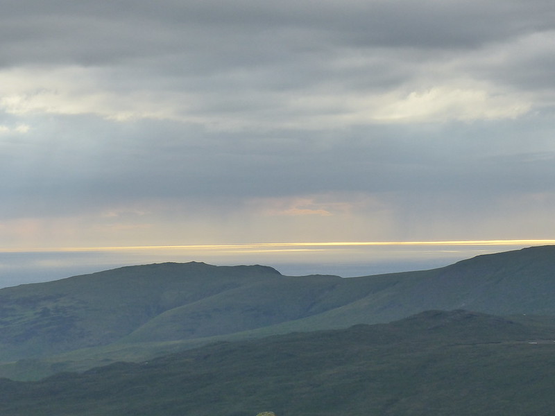
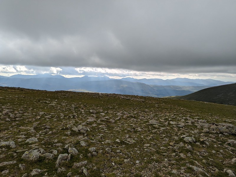
The skies to the east were looking increasingly grey and it was clearly raining not too far away. It would surely be only a matter of time before we got our own shower.


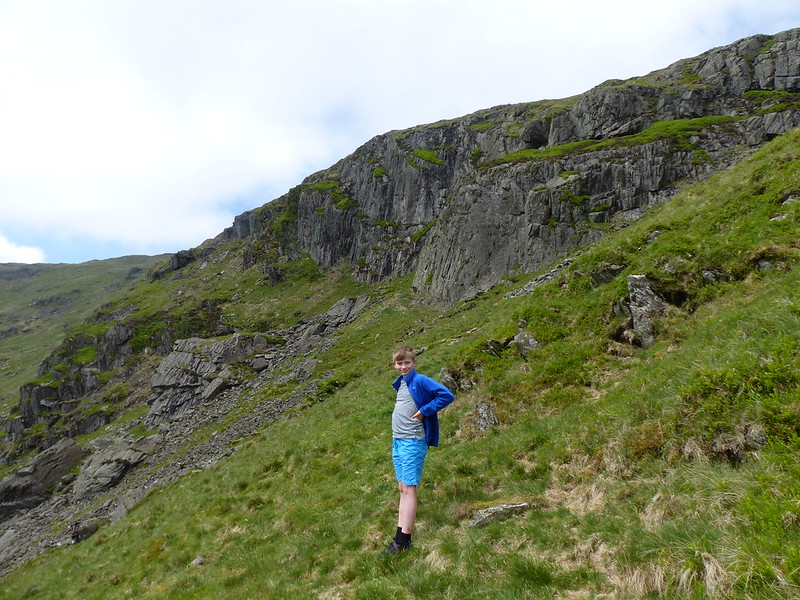
I thought we could descend, with care, the gully to the south of Scrubby Crag, but B took one look at it and clearly doubted my sanity, so we climbed Hart Crag instead, descended the ridge towards Hartsop above How and then repeated our route down into the cove and back up to our tent.

Of course, eventually it began to rain and didn’t stop for quite some time, even though the sun was still shining too…

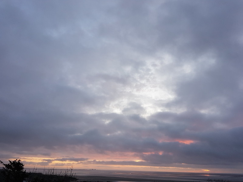
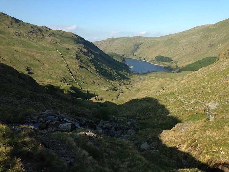
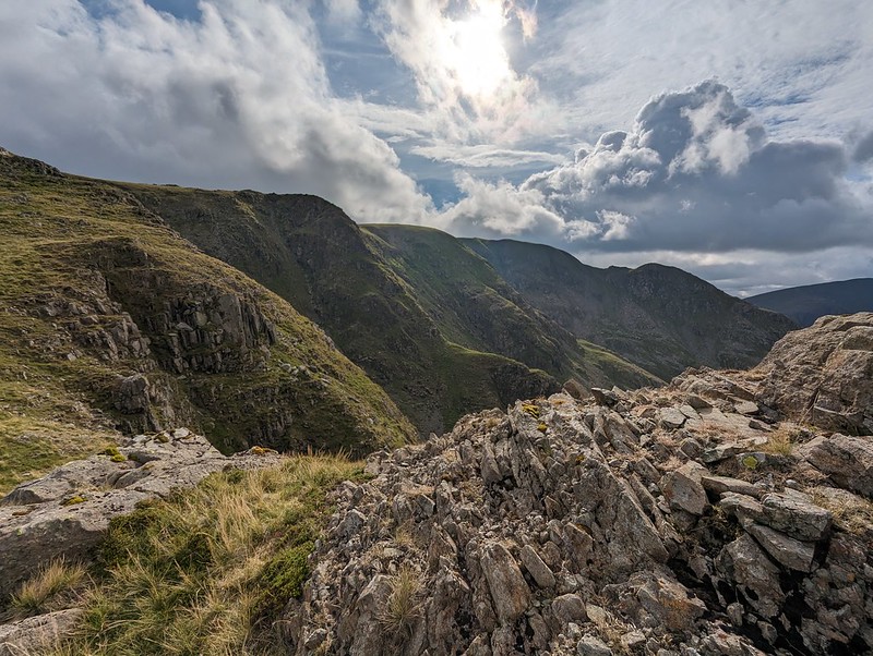
We thought we could pick out the path to the cave on Dove Crag which is meant to be a good bivvy spot.

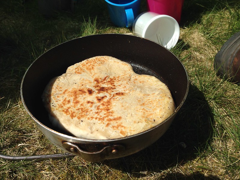
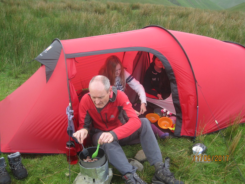
We were using the tent which we’ve borrowed (seemingly indefinitely) from Andy. It’s not the lightest, but it’s amazingly spacious and the huge porch was superb in the wet – perfect for me to sit in and cook our evening meal (filled pasta, pesto, dried fruit and custard, very satisfying).
Second Day
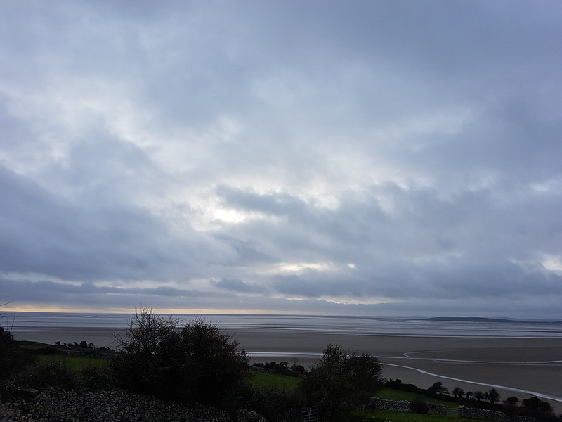
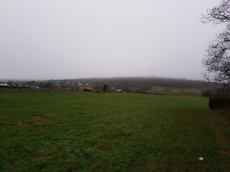
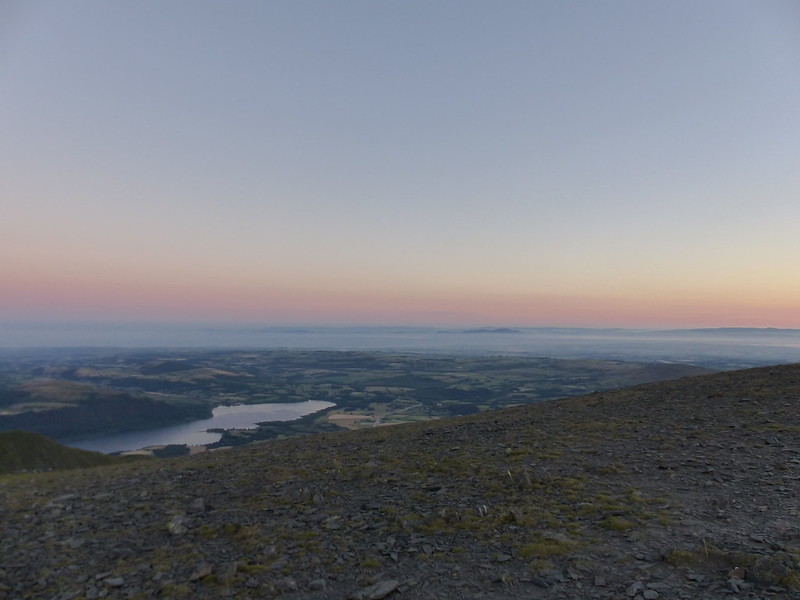
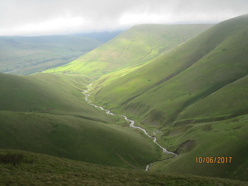
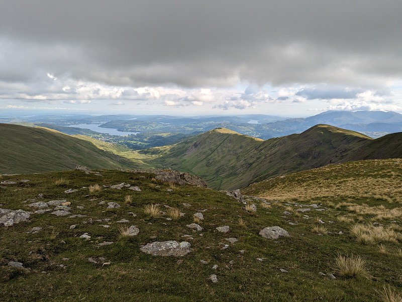
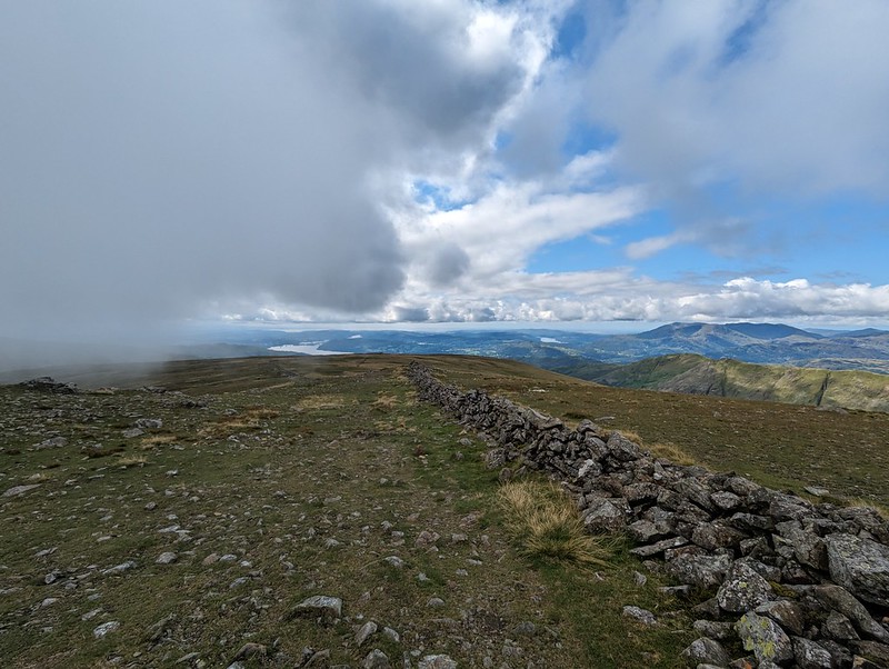
This early morning photo might be a bit misleading. Once again, we seemed to be on the divide as far as the weather was concerned. To the west, all was blue sky and sunshine; to the east, low cloud. And although the wind was, I was sure, blowing from the west, the cloud was sweeping up Deepdale towards us.
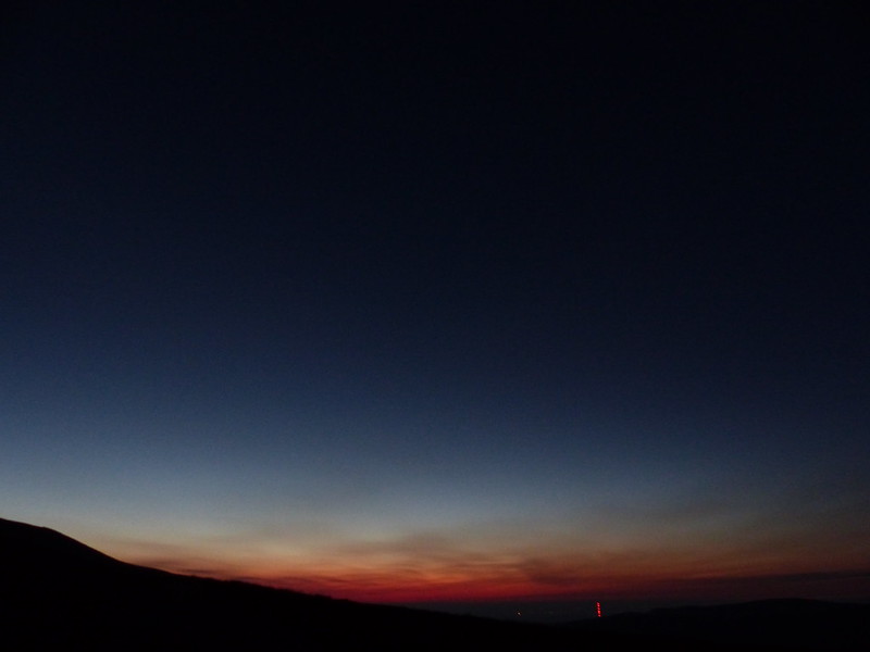
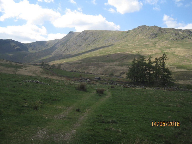
Still, we at least had sunshine whilst we breakfasted and packed up.

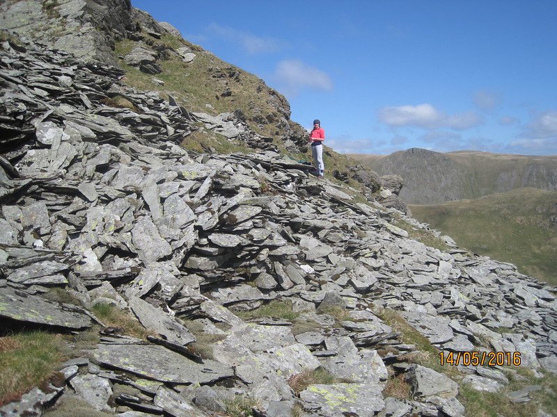
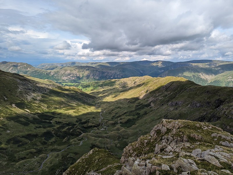
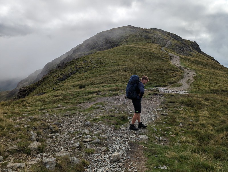
We wanted to regain the main ridge, and could choose to retrace either our ascent or our descent routes of the previous evening. Despite its initial steepness, we agreed that The Step was much the easier going of the two. With the cloud sweeping in across the crags, it was atmospheric too.


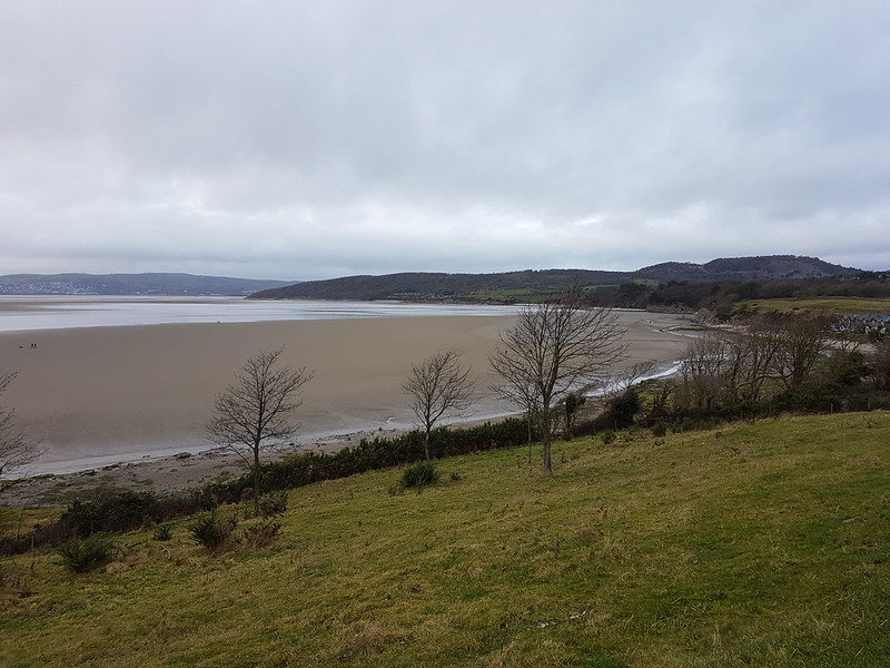
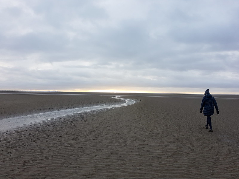
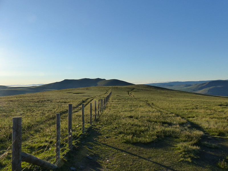
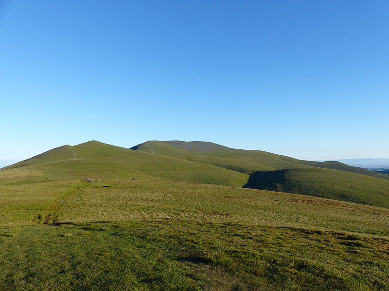
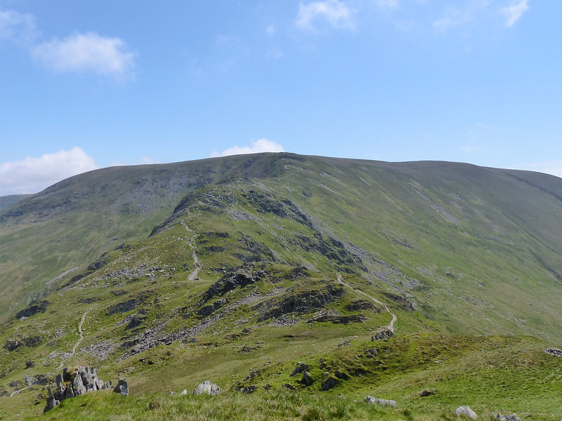
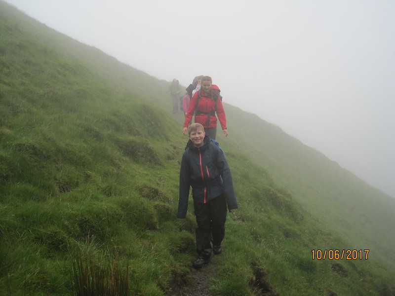
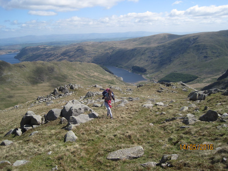
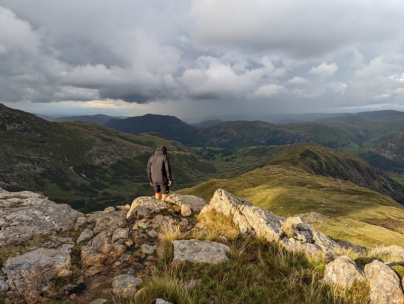
As you can see from the photos, the weather was really odd, but it gradually improved as we wandered over Dove Crag and then Little Hart Crag and finally along another delightful ridge to High Hartsop Dodd.


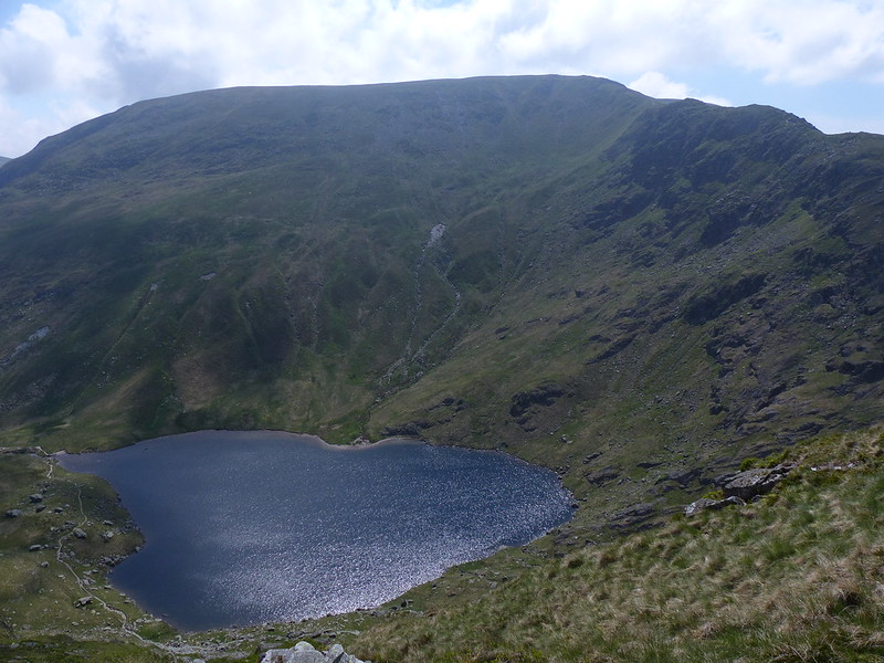
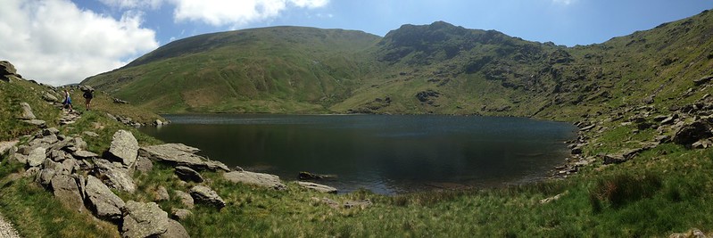
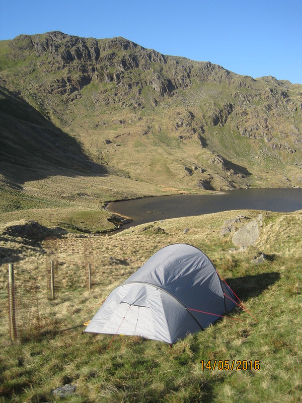
I have several spots in the area earmarked as potential wild-camping locations. Scandale tarn is one of them.

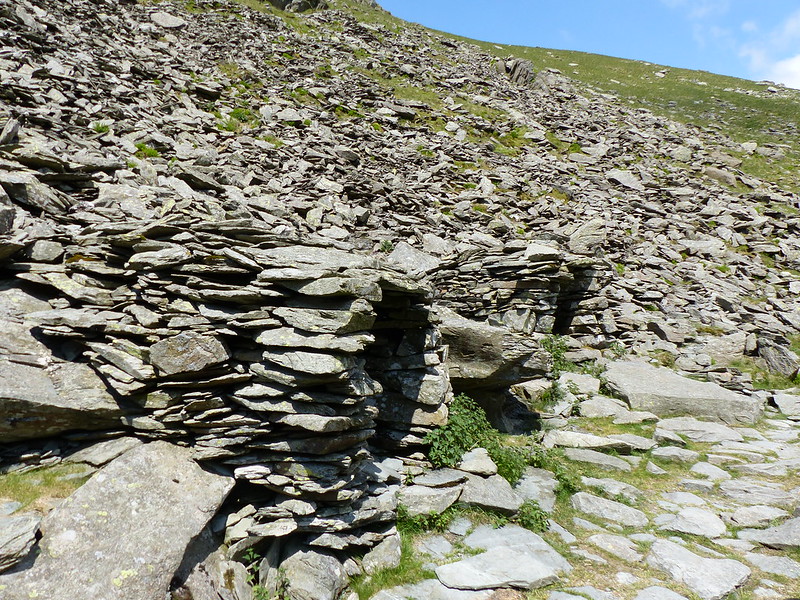
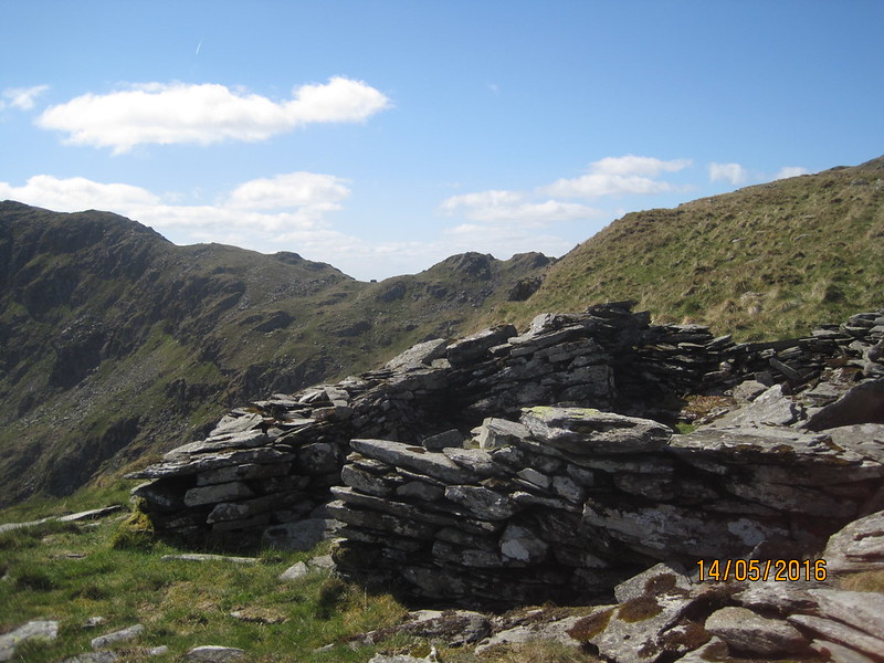
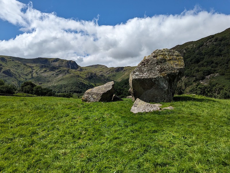
I’ve waffled on before about this amazing archeological site. Historic England has a thorough physical description, but doesn’t supply much detail about who lived here and how they might have lived.

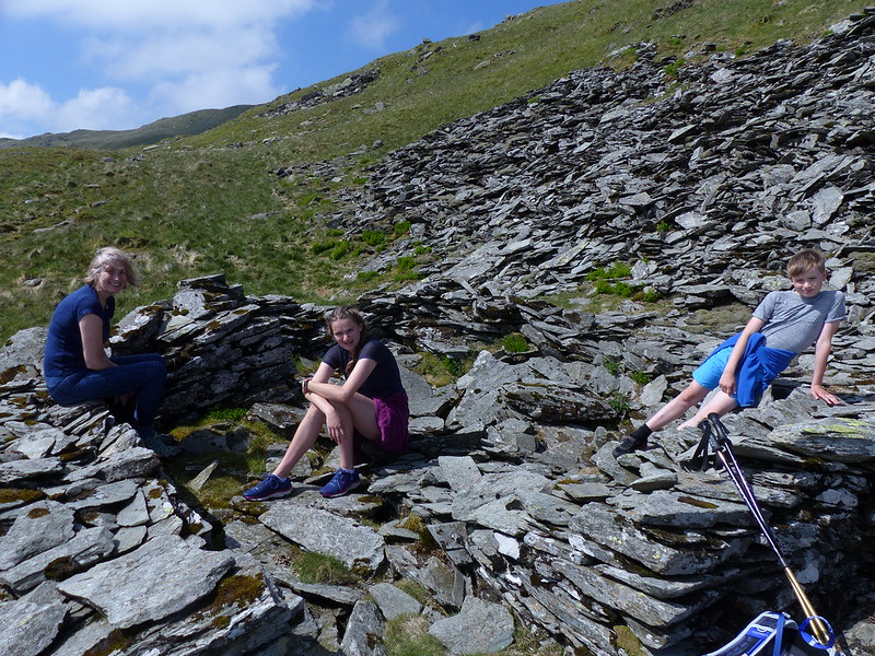
This was effectively a day’s walk divided in two, which I think is probably a good way to plan an overnighter. We both enjoyed it immensely and were both keen to go again. B also wanted to borrow some gear and take some of his friends wild-camping, but then he got a job pitching and packing-up much bigger tents (marquees) and his availability became severely restricted.
Who knows, maybe next summer we’ll get a mutually convenient spell of settled weather and manage to fit some more trips in?