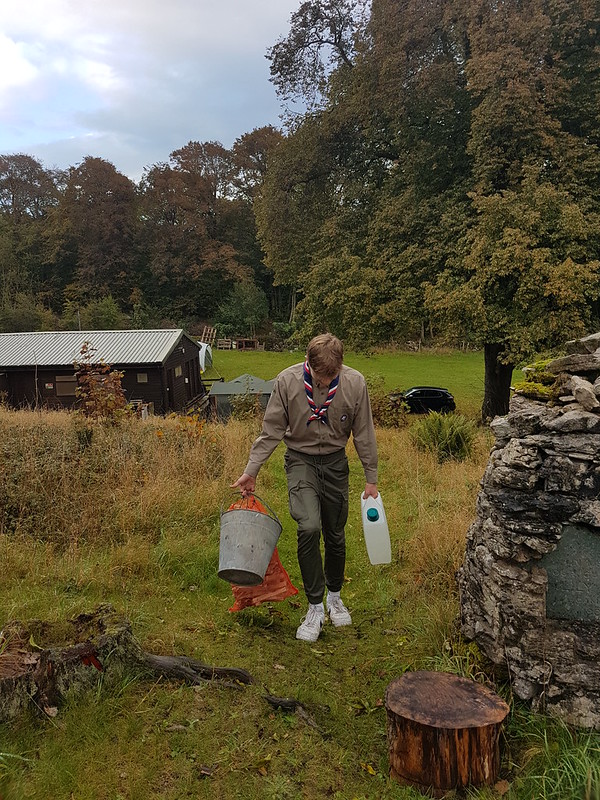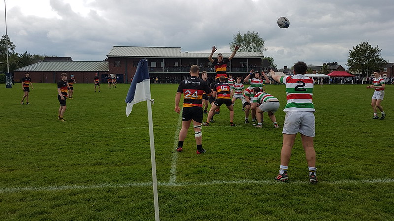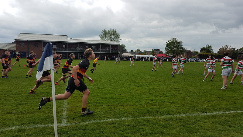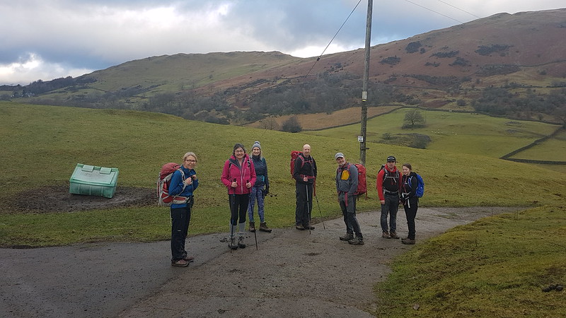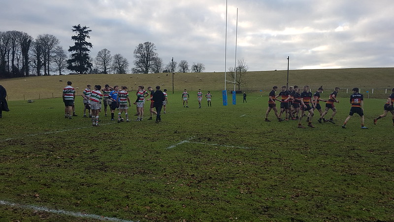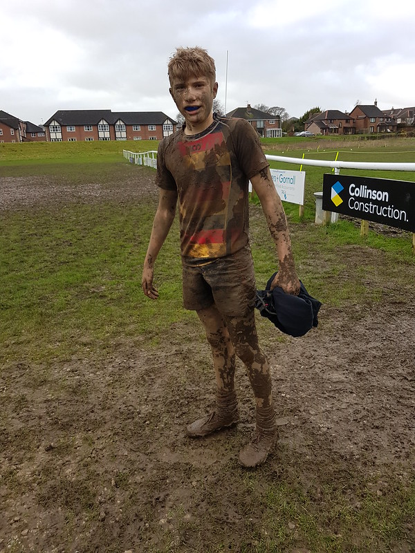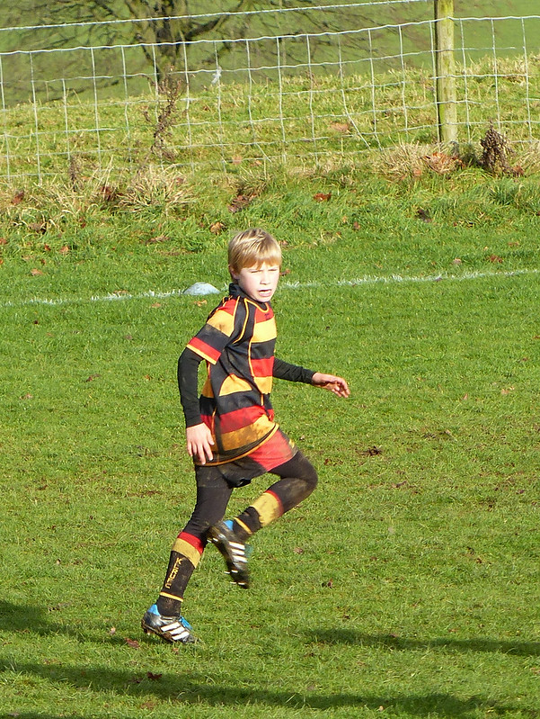
B’s team were having one final tour before they graduate to senior rugby. He had a shoulder injury, so couldn’t play, but after all these years, we could hardly miss it, could we?
We’d been delivered to Berwick-on-Tweed on the Friday evening by our redoubtable, and long-suffering, coach driver. I shall draw a veil over the shenanigans which took place on the bus, then later that evening, and on the following night, because, apparently, “what happens on tour, stays on tour”.
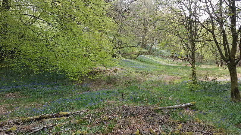
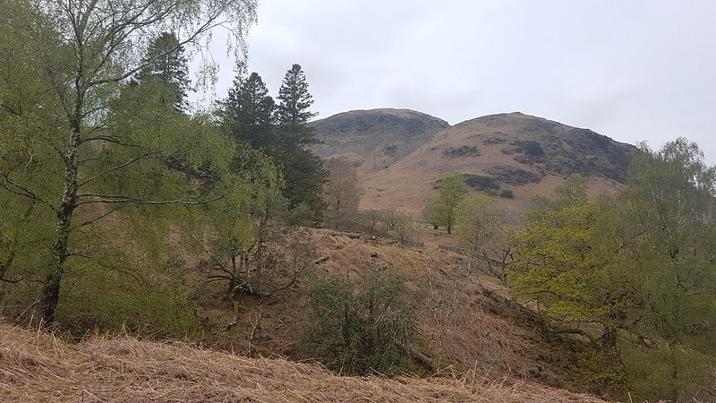
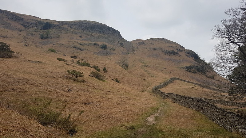
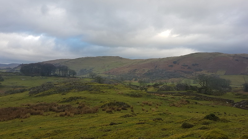
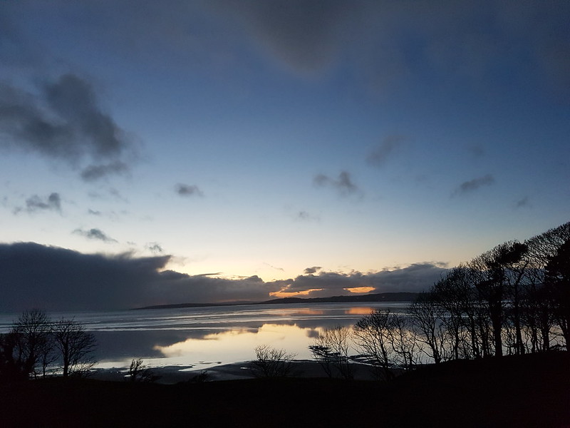
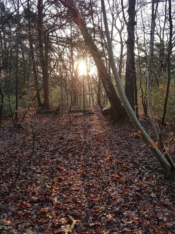
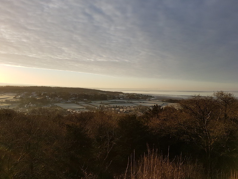
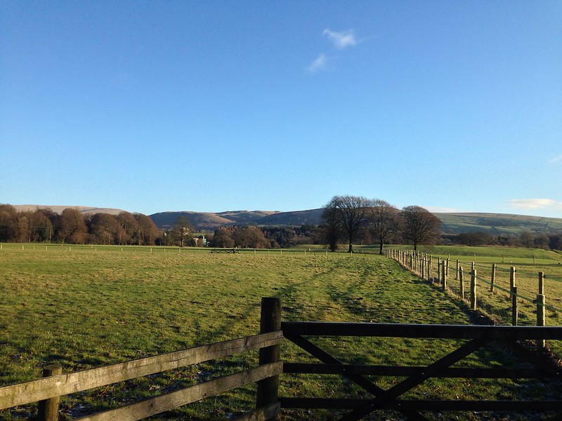
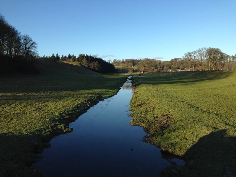
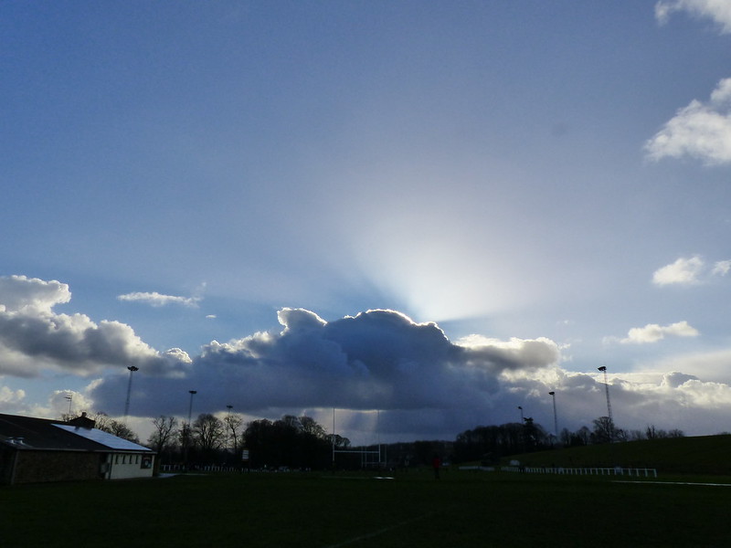
The Saturday morning was clear and bright and incredibly cold. We had snow at home and had been worried all week that the games would be cancelled. Fortunately, the borders didn’t have the snow, just the freezing northerly winds.

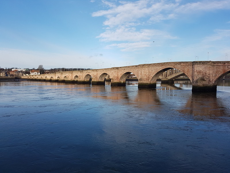
Berwick Youth Hostel, where we were staying, (highly recommended if there isn’t a touring rugby team staying there) is right by the Tweed and Berwick Old Bridge. Since the construction of the bridge, replacing older wooden structures, was completed in 1624, I think it definitely deserves that title. Unsurprisingly, it’s a Grade I listed monument.
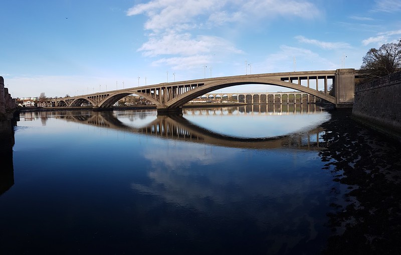
The adjacent Royal Tweed Bridge, another road bridge, is a whipper-snapper by comparison, dating from three hundred years later and finished in 1924. It’s concrete and is Grade II* listed, for it’s scale and innovative design.
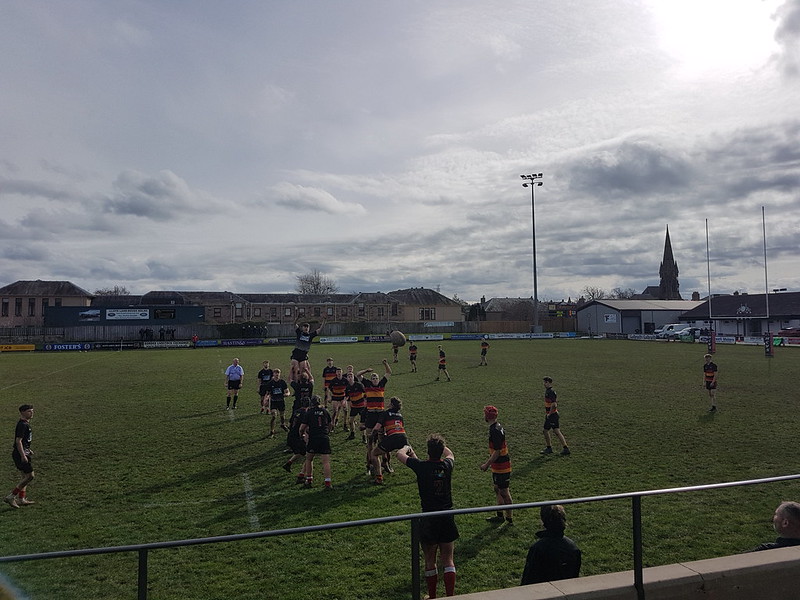
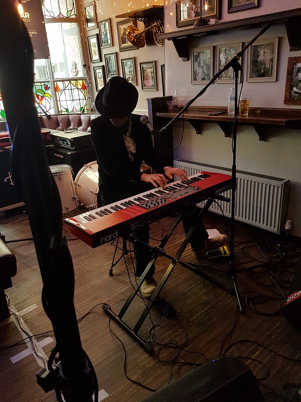
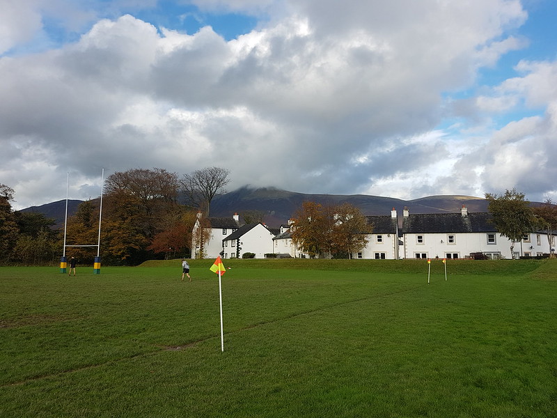
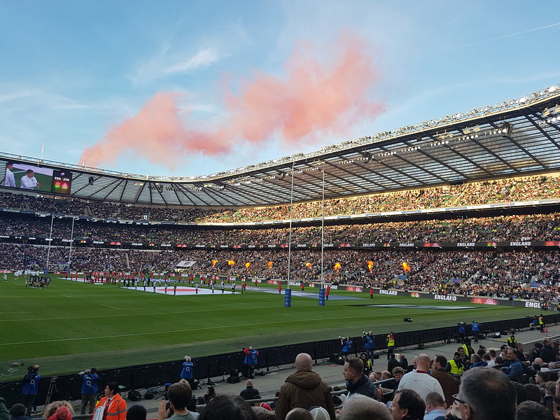
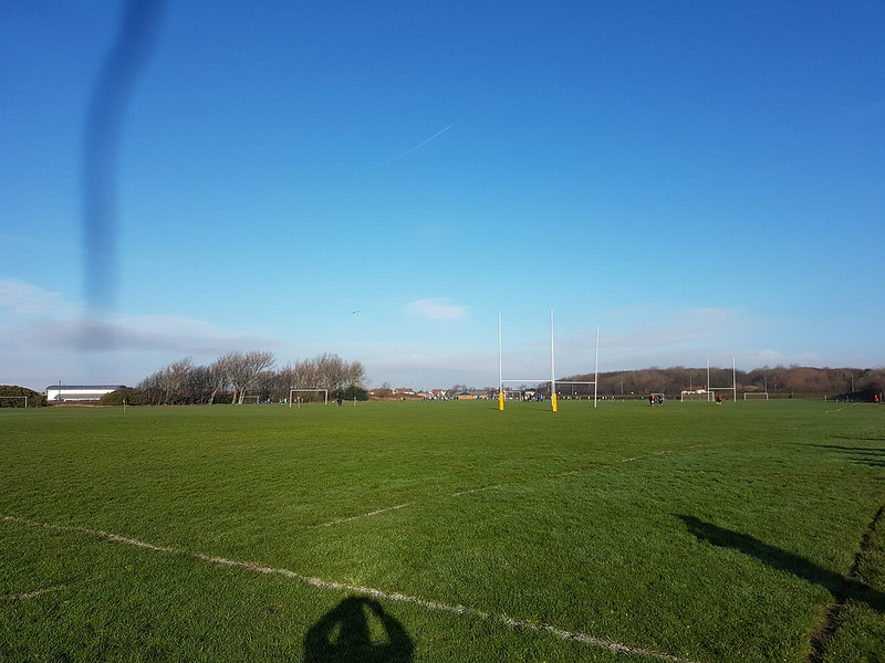
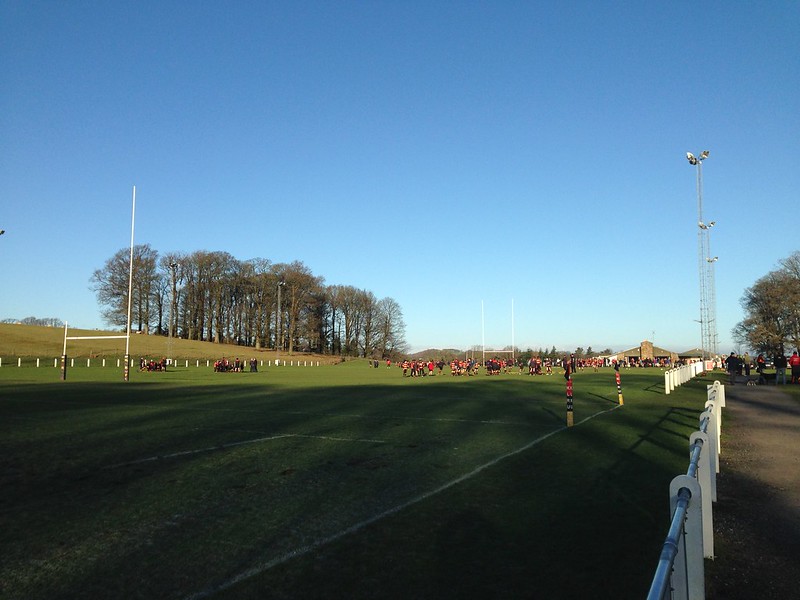
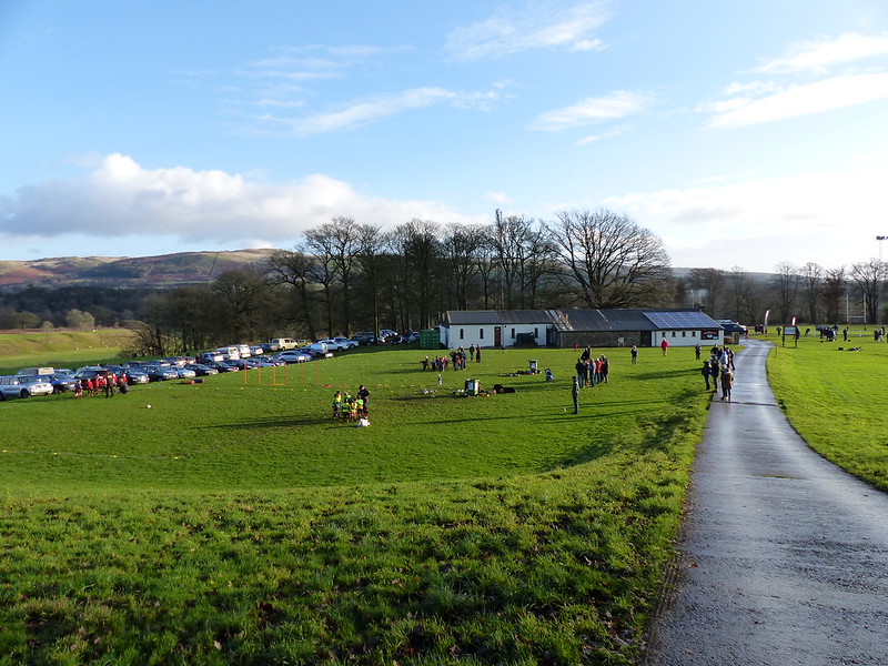
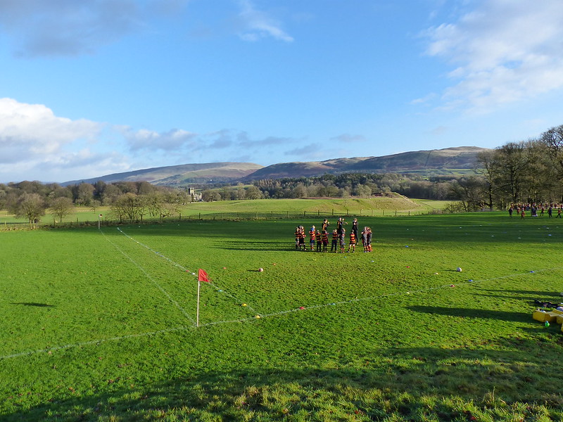
We were back on the coach for the first match against Kelso Colts. Later, we watched their senior team play a local rival in a top-of-the-table, promotion decider. I sat in the stand with the Kelso fans and became very invested in the home side’s performance. Happily, they played superbly and won. Later still, we watched the England vs France match in the clubhouse. The clubhouse was heaving, I assumed due to the home game followed by the six nations match, but apparently it’s always that busy – I can see why; the drinks were very reasonable and, as always seems to be the case with rugby clubs, the atmosphere was terrifically friendly. At one point one of the locals was sharing his enthusiasm for the hiding France were handing to England, but then, when he realised I didn’t share his glee, backtracked and reassured me that England would be better in the second half and would no doubt go on to win. We both knew it wasn’t true, but it was good of him to try to cheer me up.

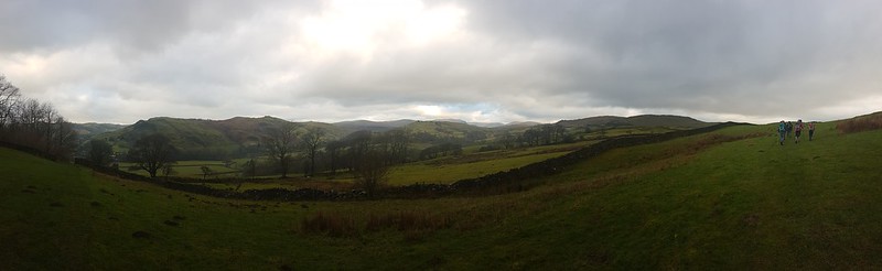
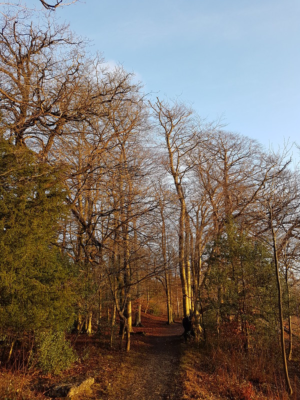
Between the two games I had time for a short stroll into Kelso itself.


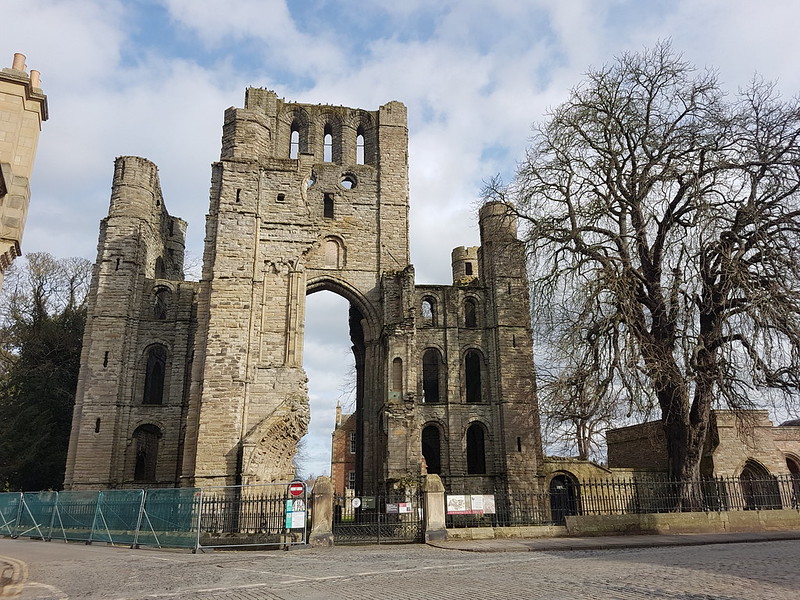
Housed in the former town hall, this is the River Tweed Salmon Museum. Now, I’m very fond of a museum, but this seemed a bit too niche for me.
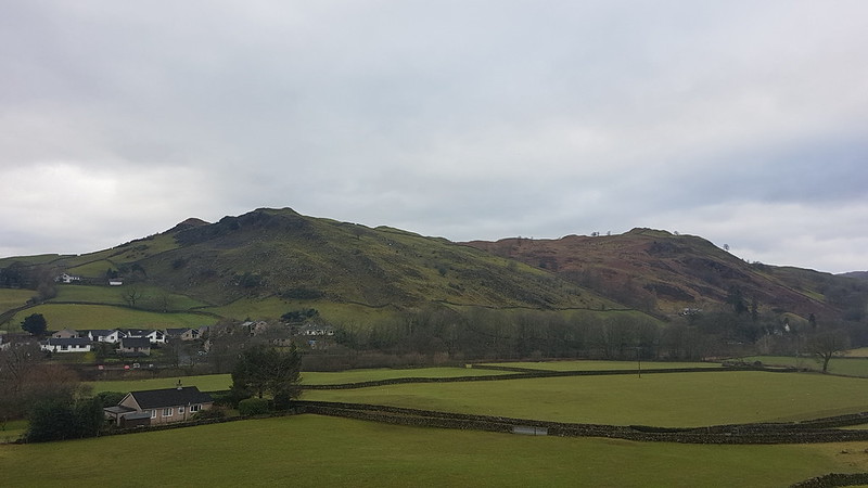
I was very taken with Kelso. A handsome town, it looks as though it has, at some point, been a prosperous place, with a number of grand buildings.

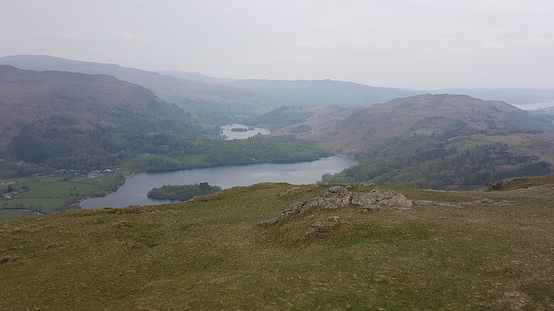
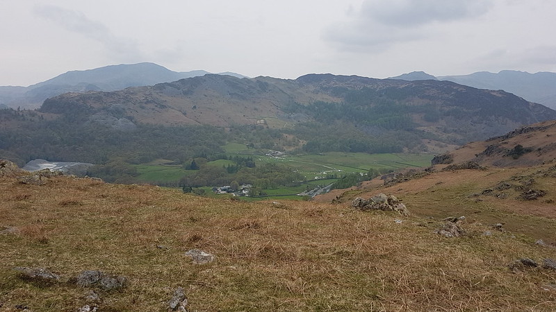
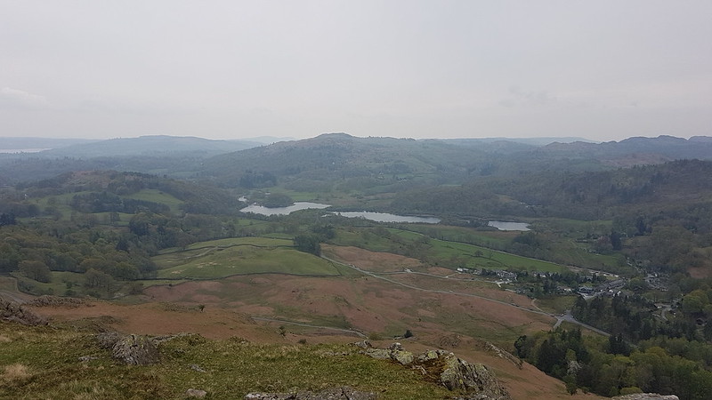
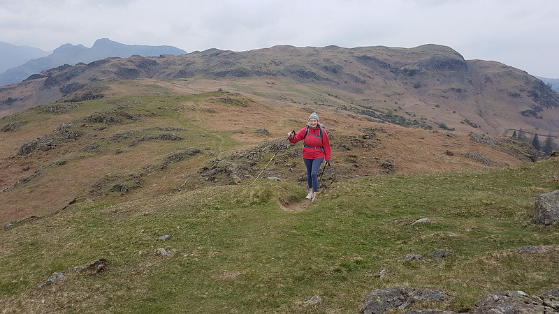
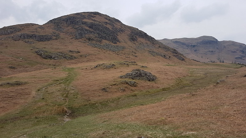
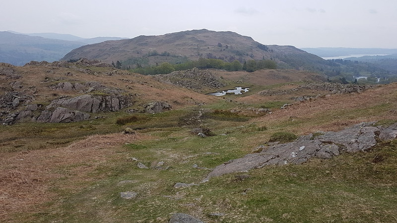
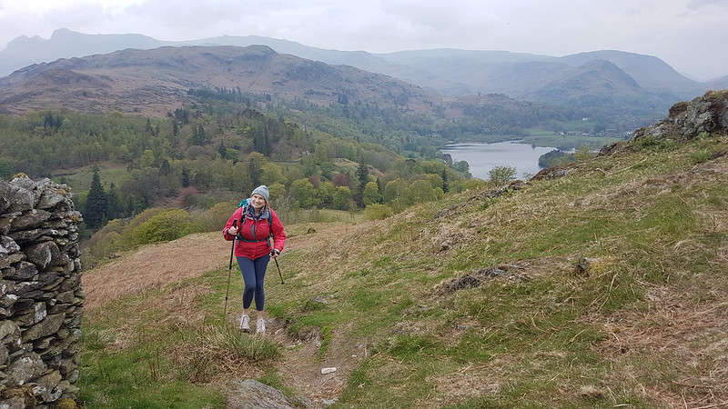
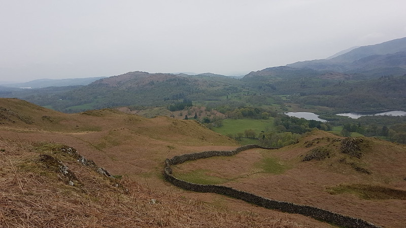
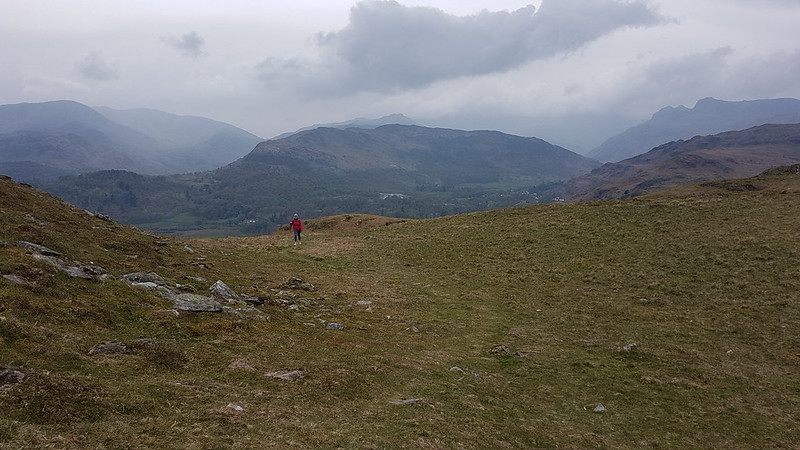
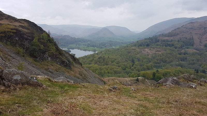
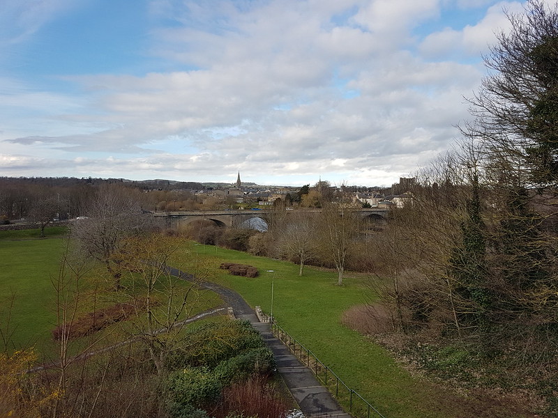
There’s a Border Abbeys Way in this area, which looks like it would be a great walk to do. Years ago, I walked St. Cuthbert’s Way with my parents, which starts in nearby Melrose and that was a very pleasant route.

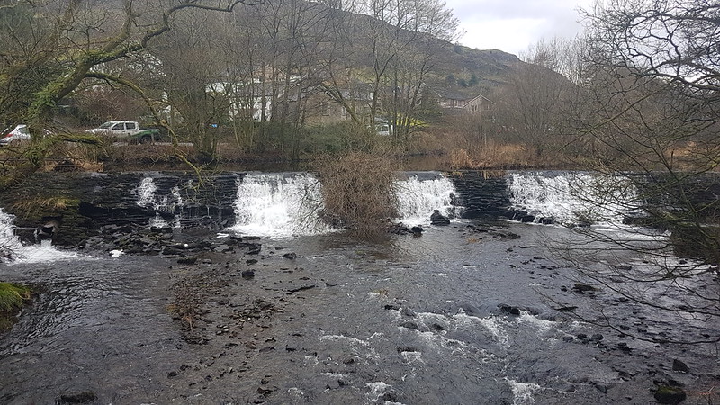
Another bridge over the Tweed. Kelso bridge, completed in 1803, was designed by John Rennie, who was also responsible for the Lune Aqueduct at Lancaster, and for Waterloo Bridge over the Thames.
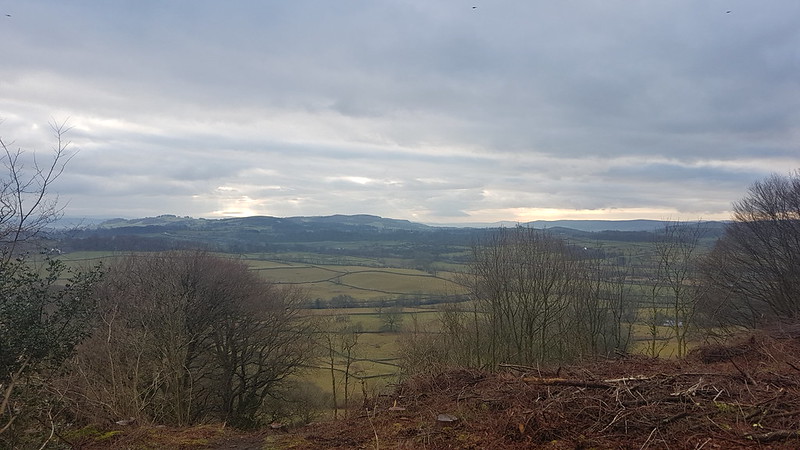
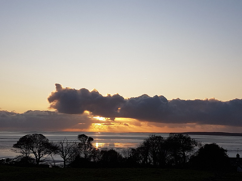
On the Sunday morning we had a more leisurely start, or so I thought, so I took the opportunity to have a longer wander around Berwick.
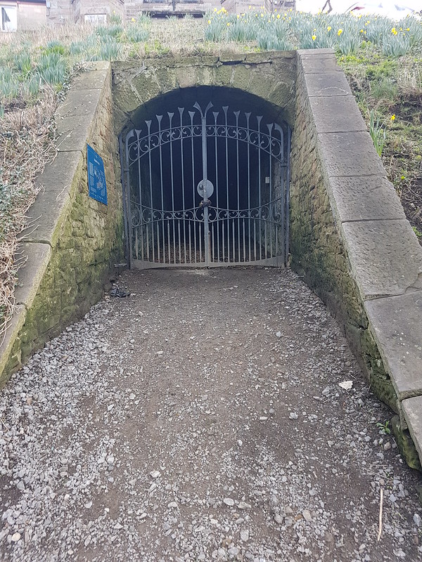
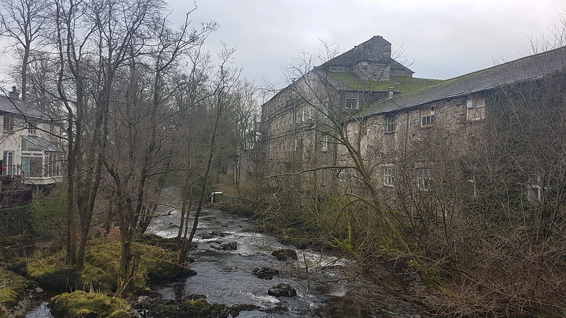
Like Kelso, Berwick’s large buildings give a strong impression of (perhaps former) affluence. It’s clear that, historically, the trade in Salmon was very important to the town. Because fresh fish fetched a premium, the catch was stored in ice. This icehouse, by the river, built around 1790, is vast inside – large enough for three double-decker buses apparently. When the winter was mild and didn’t provide enough ice it was imported from Scandinavia or even America.

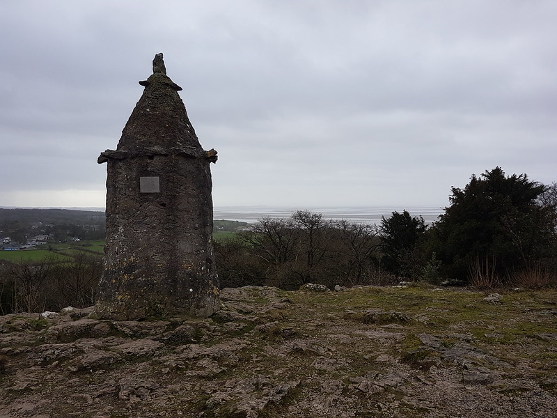
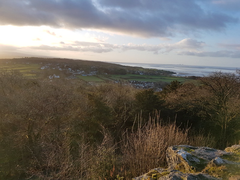
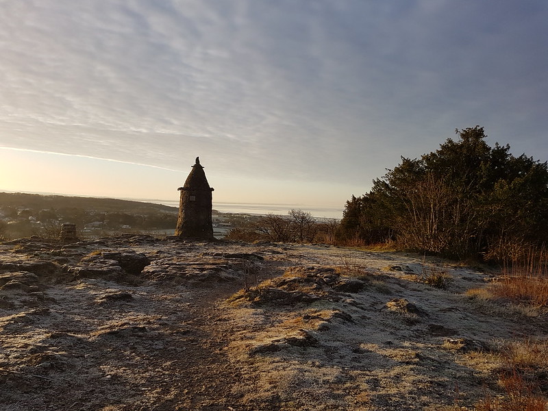
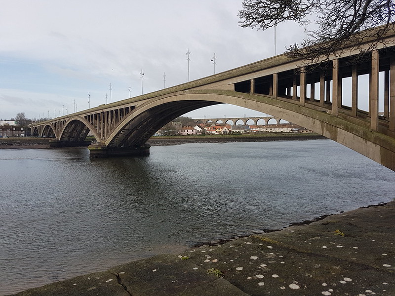
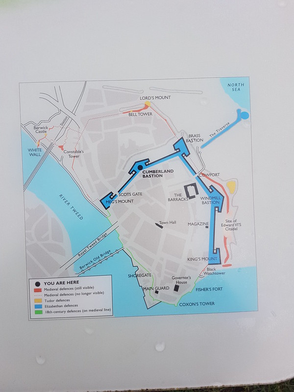
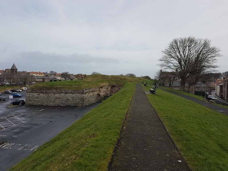
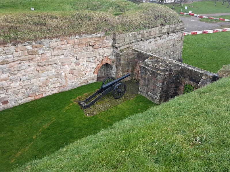
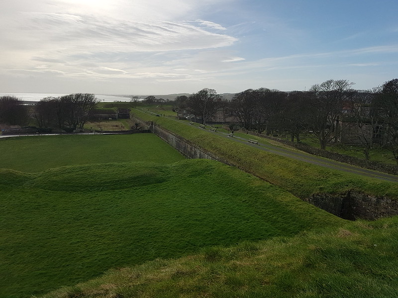
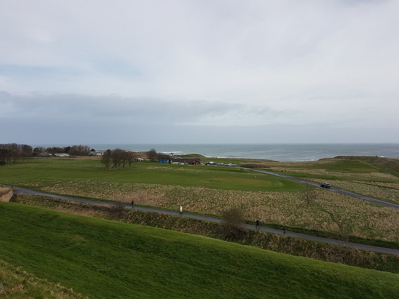
Berwick is surrounded by ramparts, built in the mid-sixteenth century. Meg’s Mount is at one end of the ramparts and gives good views of the town and the bridges over the Tweed.

The Royal Border Bridge is a railway viaduct with 28 arches. It was completed in 1850, opened by Queen Victoria and designed by Robert Stephenson, son of George Stephenson, the ‘Father of the Railways’.

A town with walls or ramparts is pretty much irresistible to me and I enjoyed my walk enormously, although I had to cut it short when I received a message from B to say that we were leaving an hour earlier than had been originally advertised.
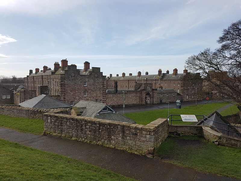
Berwick Barracks are the oldest in Britain. It’s run by English Heritage and I’m sure it would have been fascinating to have a look around, if time had allowed. I’ve visited Berwick before, a couple of times, long ago, and came away, somehow, with a not particularly favourable impression. Clearly, the fault was all mine. This time, I felt like I’d barely scratched the surface and would love to come back for a more leisurely visit.
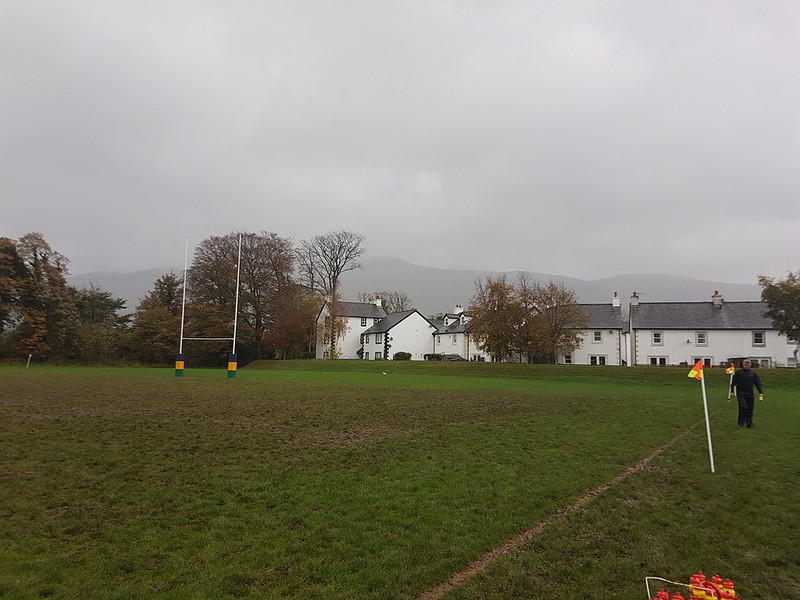
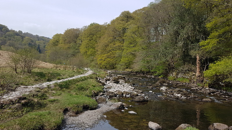
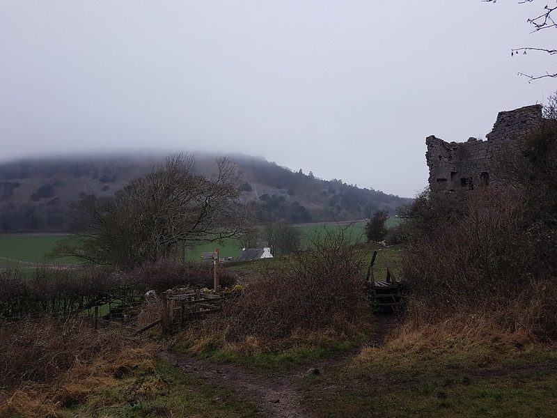
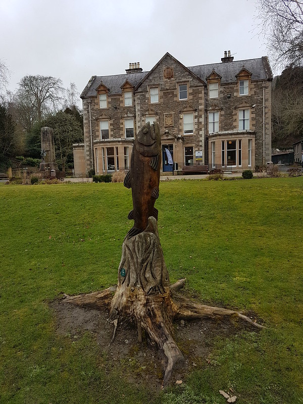
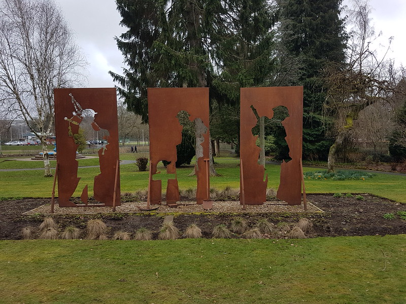
Anyway, we were back on the coach and en route for another game, this time in Hawick (pronounced Hau-uhk). The ground was right beside the River Teviot, a tributary of the Tweed, and a footbridge took me across the river to a park within which were a number of statues and the Hawick Museum.


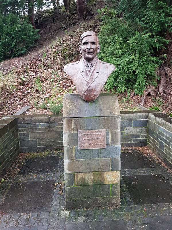
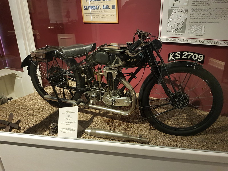
Famous local sons, Bill Mclaren was a rugby player and commentator, ‘the voice of rugby’, whilst Steve Hislop and Jimmie Guthrie were both motorcyclists, who both died in accidents.

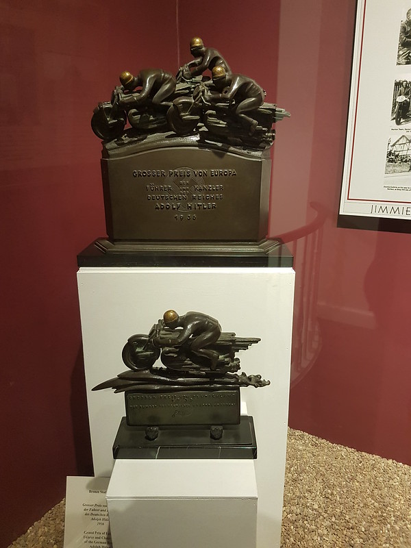
The museum was one of those small places with a heterogeneous mismatch of exhibits: curling stones, a typical borders kitchen, motorbikes and myriad trophies, a natural history section, a couple of art exhibitions. I loved it.

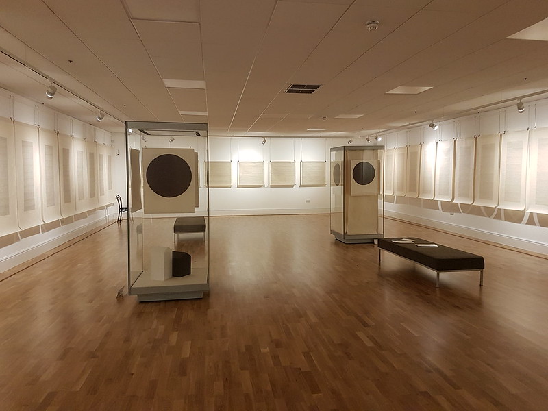
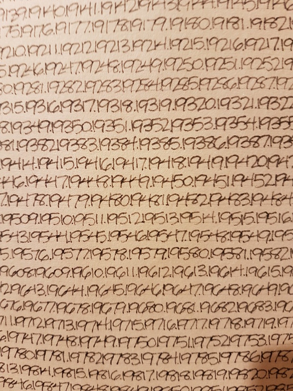
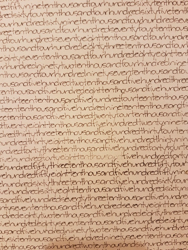
The retrospective display of Bill Zima’s art, The Architecture of Time, left me bemused, but also intrigued. I suppose it did make an impression on me; there was another exhibition next door and I can’t even remember that.


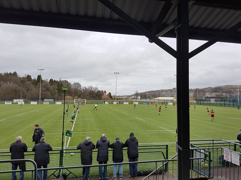
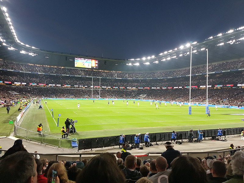
Finally, another game and then watching the Scotland vs Ireland game together in the clubhouse. I was rooting for Scotland like most of those present, so of course, they lost.
A mammoth post to cover a single weekend; whole months have been written up more succinctly, but then this area obviously has a great deal to offer and I shall have to find some time to come back for a more leisurely tour.