
This was the day after the second of our walks from Brockholes. TBH and I had dropped B off there again, and had decided to spend the day in the Lakes before picking him up at the end of his shift. We’d had the bright idea of using the local buses so that we could do a point-to-point walk.
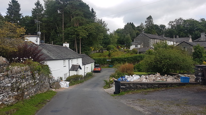
We parked up in Ambleside and then got thoroughly lost in the vast Hayes Garden World complex looking for the loos. Due to a lack of clarity on the bus timetable, and possibly a degree of muppetry on our part, we missed the first bus and ended up playing silly golf in a very busy Ambleside to pass the time until the next bus.
The bus didn’t take the most direct route and I felt both sorry for, and amused by, some of the tourist traffic which met the bus. The driver didn’t take any prisoners, but could squeeze the bus through gaps with only a few millimetres to spare.
From Coniston, we followed the Cumbria Way past Tarn Hows, stopping very early for a brew and a bit of lunch. The minute we stopped, of course, it began to spit with rain. I’d originally had grandiose plans to climb either Holme Fell, or Black Crag, or both, but the time we’d lost and the need to be on time for B, prompted us to abandon those options.
Tarn Hows was predictably busy, but the rest of our route was very quiet. We left the Cumbria Way after Tarn Hows, and bumped into a family of runners who we know from B’s rugby team. Small world!
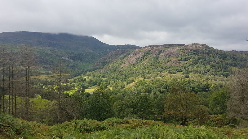
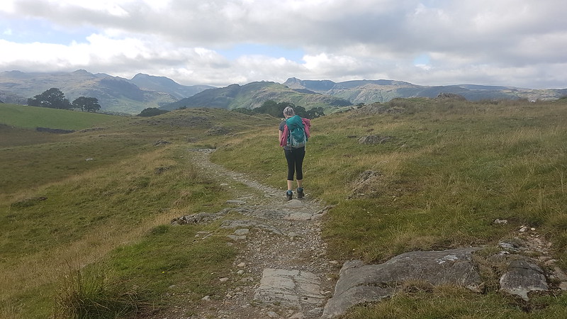
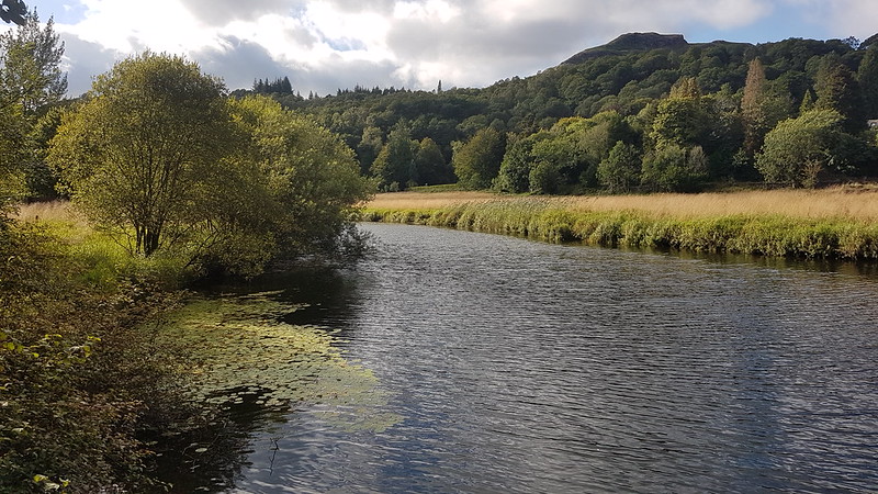
Our route actually took us most of the way to the top of Black Crag. Once we’d crossed the watershed, the Langdale fells dominated the views for most of the rest of the walk.

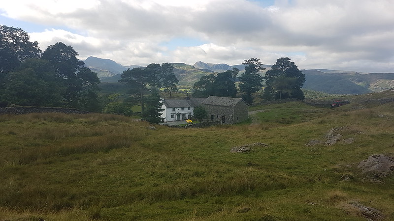
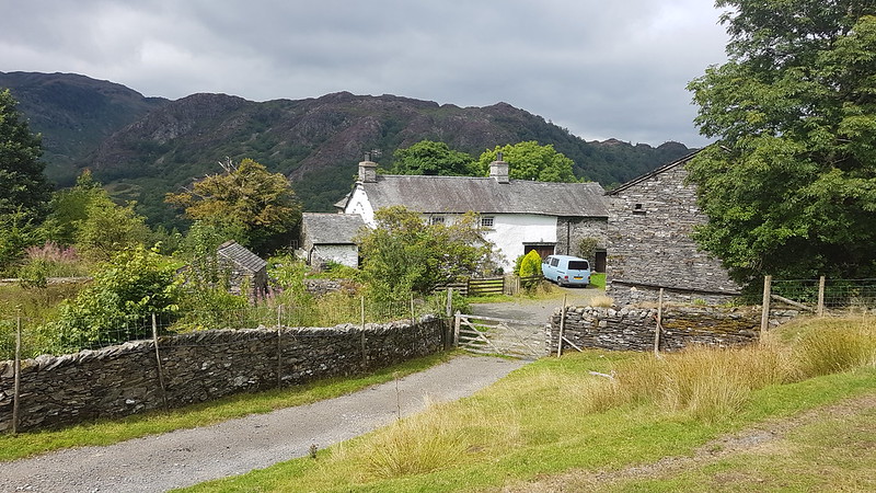
There’s no village of Arnside here, but High and Low Arnside farms, High Arnside Tarn, Arnside Intake and Arnside Plantation.
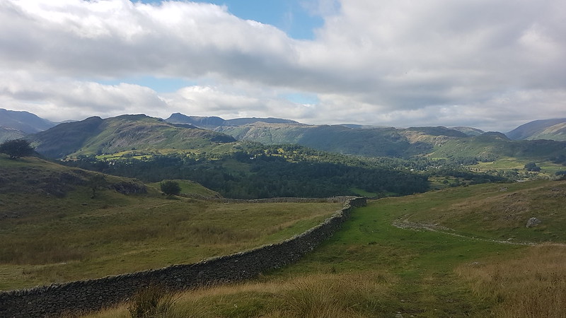
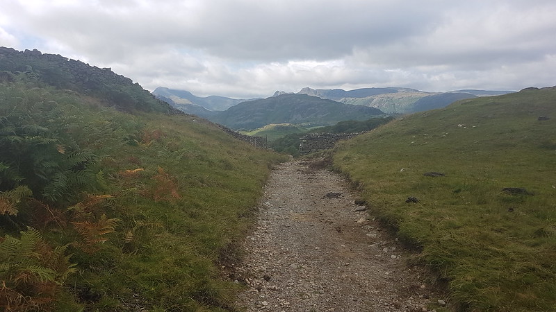
On this long section, with its great views, we saw one other walker, a dutchman on his first visit to the Lakes, who was, he told us, very taken with what he had seen.


Possibly the reason this path is little used is that it deposits you on to the busy road between Ambleside and Coniston. I’d thought we would be able to get back on to the Cumbria Way, but I was mistaken. Fortunately, there is a permission path alongside the road for much of the way.

On the lane up to Skelwith Fold we witnessed some more motoring muppetry, with one car having to reverse around another, the driver of which had admitted defeat, to allow a van to pass. People got out of vehicles, examining bodywork which had at no point been in any danger of being scuffed, and some heated exchanges took place, but only, I think, between two occupants of the car whose driver had been apparently paralysed, like a ‘cragfast’ sheep.

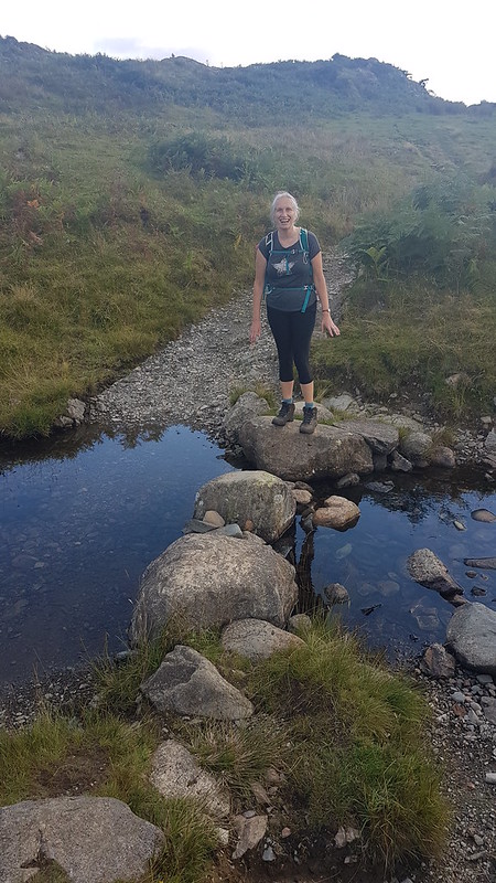
A permission path took us, from the wonderfully named Bog Lane, down to the Brathay and a spot which I’ve earmarked as a fine looking swimming hole for when it’s warmer again.

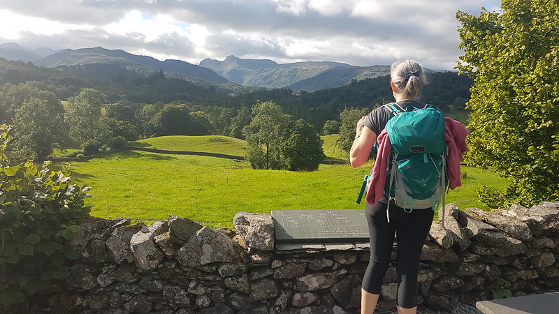
I may have told TBH that a walk from Coniston to Ambleside would be 6 miles, prompted by a route description I’d found online which said the same. It seemed wise, in the circumstances, to stand in front of this signpost to hide the evidence to the contrary, especially since we still had some way to go.
We very much enjoyed this walk and I can definitely see us using the buses in the Lakes again to enable us to walk similar point-to-point routes.

No map from MapMyWalk showing the route since it had one of its occasional tantrums and refused to work.

I’d really like to do more point to point walks. Sadly down this way the local bus services especially at weekends are not terribly useful or helpful. Our local mountains are less popular and very widely spread rather than the compact nature of the Lakes.
That looks like a really grand walk taking in some of those nice lower fells. I guess with a longer time gap you could fashion a longer route that avoids the busier road sections
Shame about your buses. There something very satisfying about and A to B walk isn’t there? I suppose it’s about striking a balance between the advantages of not having to use the car against how much extra time and faff using public transport commits you to. Definitely one target for the year ahead – to use trains and buses as much as possible for walks and cycle rides.
Hard to put your finger on it should make it more interesting. I guess any circular walk will have broadly similar views whereas linear gives a constantly changing picture. I need to look again at possible routes like this but they need to be more in the lowlands where there are buses which means early summer. Enough time for the mud to dry out (it’s horrible at the moment) and before the bracken, brambles and nettles take over
I suppose if there’s potential for wild weather, a point to point is a bit committing. Might find yourself blown to a roundabout in Penrith!
Looking at the paths over those two fells, I’d say Holme fell has the better options to rejoin the path up to Skelwith. Personally I have to look more at the options for a bus and a linear walk, especially on the coastal path, I could double my length I walk in a day before getting the bus back to my car. This would help as I drive further now to start the walk
I think I ‘d much rather be on the bus than in one of the cars it encounters on the route between Ambleside and Coniston! In fact I did take the bus there and back from Windermere for a short “green” break taking public transport late summer!
Yes, me too – it didn’t look like fun to be driving and encounter the bus.
I loved every step of this walk.
Thanks for finding the tie to do all the catch ups.
Back at work now, will try to keep going, but can’t promise anything, sadly.
[…] I’ve become a bit obsessed with being able to put a name to every hill, hump and hollow in the view. I blame Andy. The wooded hill in the middle-ground here doesn’t have a name on the OS map and there’s no path to the top, but the wooded slopes on it’s northern and eastern flanks are access land, Fletcher’s Wood, so it would be possible to get at least close to the top. The higher ground to the right, meanwhile, is the end of the Black Crag ridge. TBH and I traversed those slopes on our walk between Coniston and Ambleside last summer. […]
[…] were on the same path we had followed when we walked from Coniston to Ambleside last summer, although we would divert off to the left fairly […]